 We drove right past the Evergreen Air and Space Museum on our way to the campground we were staying at while I attempted to get the tow bar serviced. I had read many years before that the Spruce Goose was moved to Evergreen, although I thought that was a town in Oregon. As we were driving past it, the light bulb lit and I realized that it was a museum, not a town.
  I started thinking I would finally get to see the Spruce Goose! We checked in at the Olde Village RV, and I asked them about the Goose. They acknowledged it was there and said if we went, they had discount coupons to get in.

 I had originally planned on being there for at least five days, but I wasn’t sure I would be able to get into the Airstream rally; so I only booked the campsite for two days (Sunday & Monday nights) and asked for an option to extend if I was able to get into that rally and leave my tow bar for service. I was planning on going to Salem, but I read they were having some kind of toxic contamination in their water system, so I stayed about 30 miles out of town. Yikes!
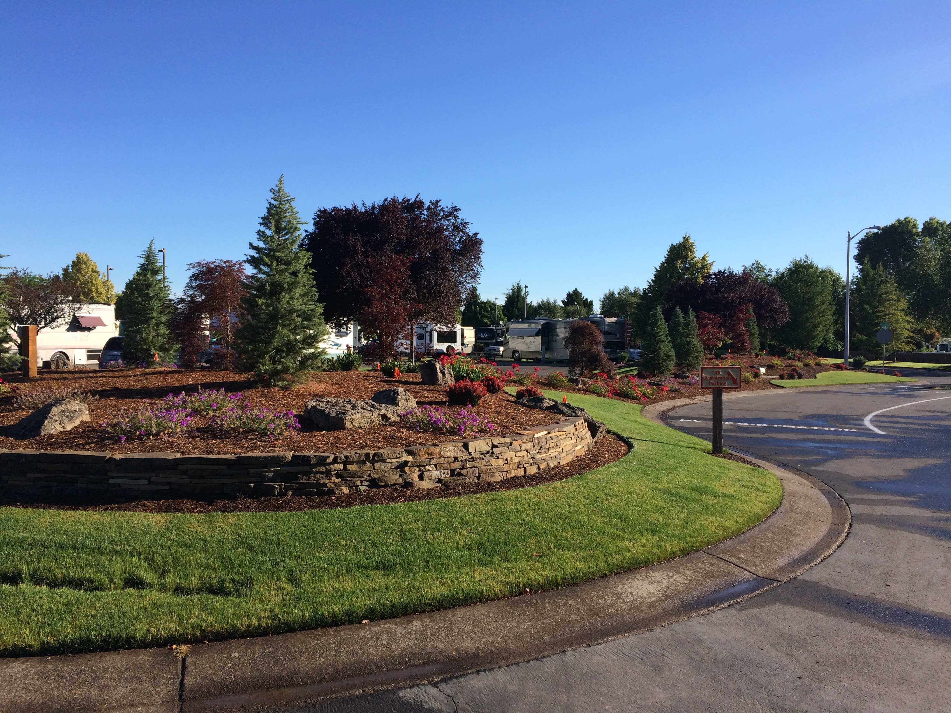
As I got the tow bar serviced early Monday morning, I went back and asked to extend my stay just till Wednesday morning. That would allow us to walk over to the museum on Tuesday. It was a really short walk over on a fairly new sidewalk hundreds of feet away from the highway between the campground and museum.
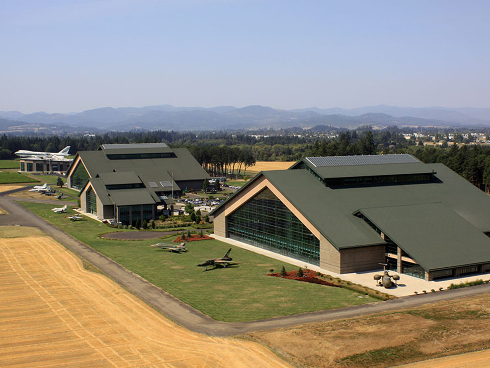
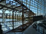
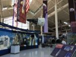
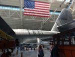
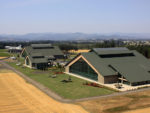 We went into the closest building, which turned out to be the aerospace section that also included planes and helicopters built after the Korean War. The other large building housed all planes from the Korean War and older. There were two other buildings, one was a theater and the other a water park. That’s the one with a Boeing 747 on its roof. We heard that all the big water slides had you start from inside that roof mounted plane. That sounded pretty cool to me, but I wasn’t planning on going to the water park.
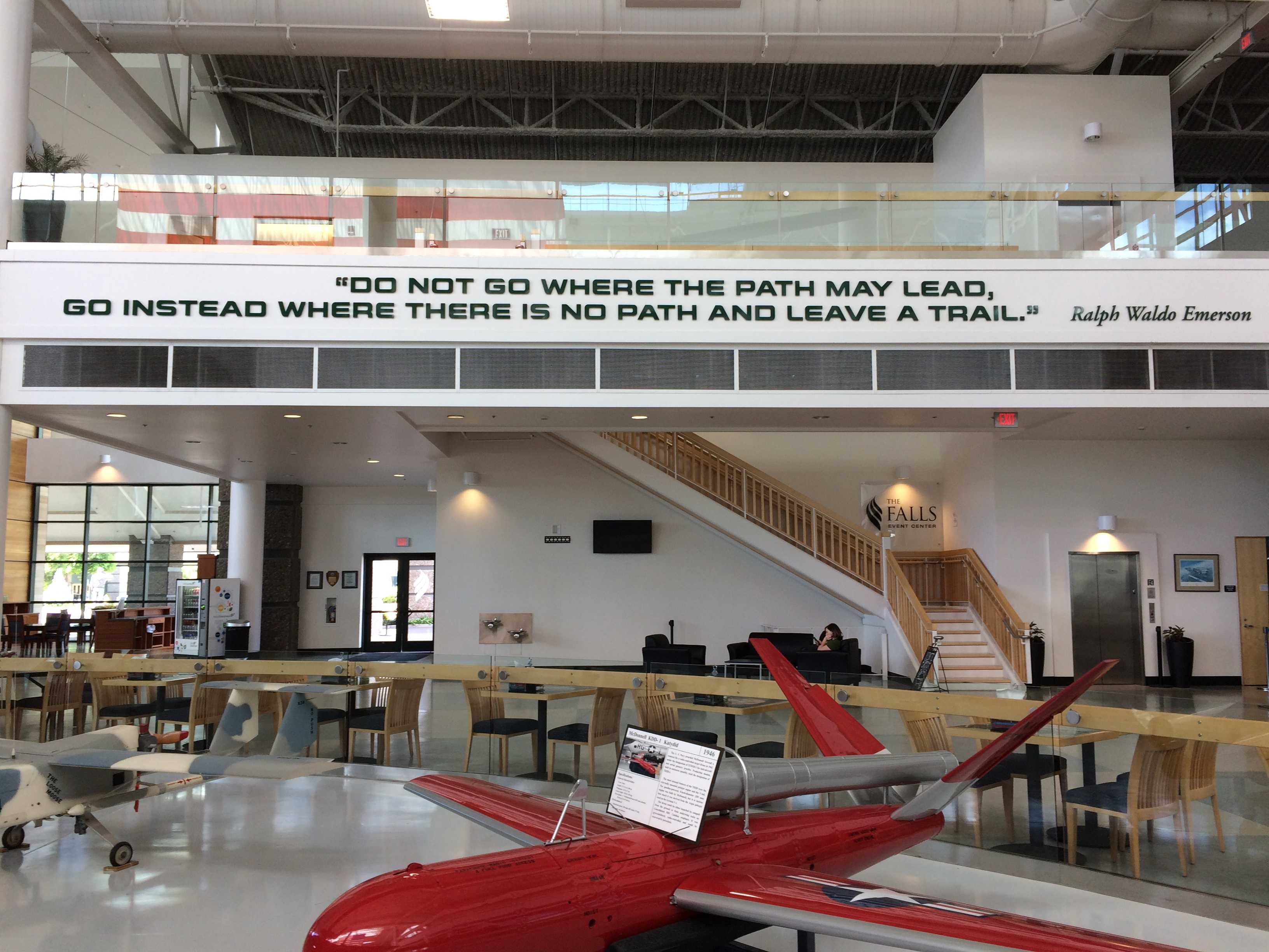
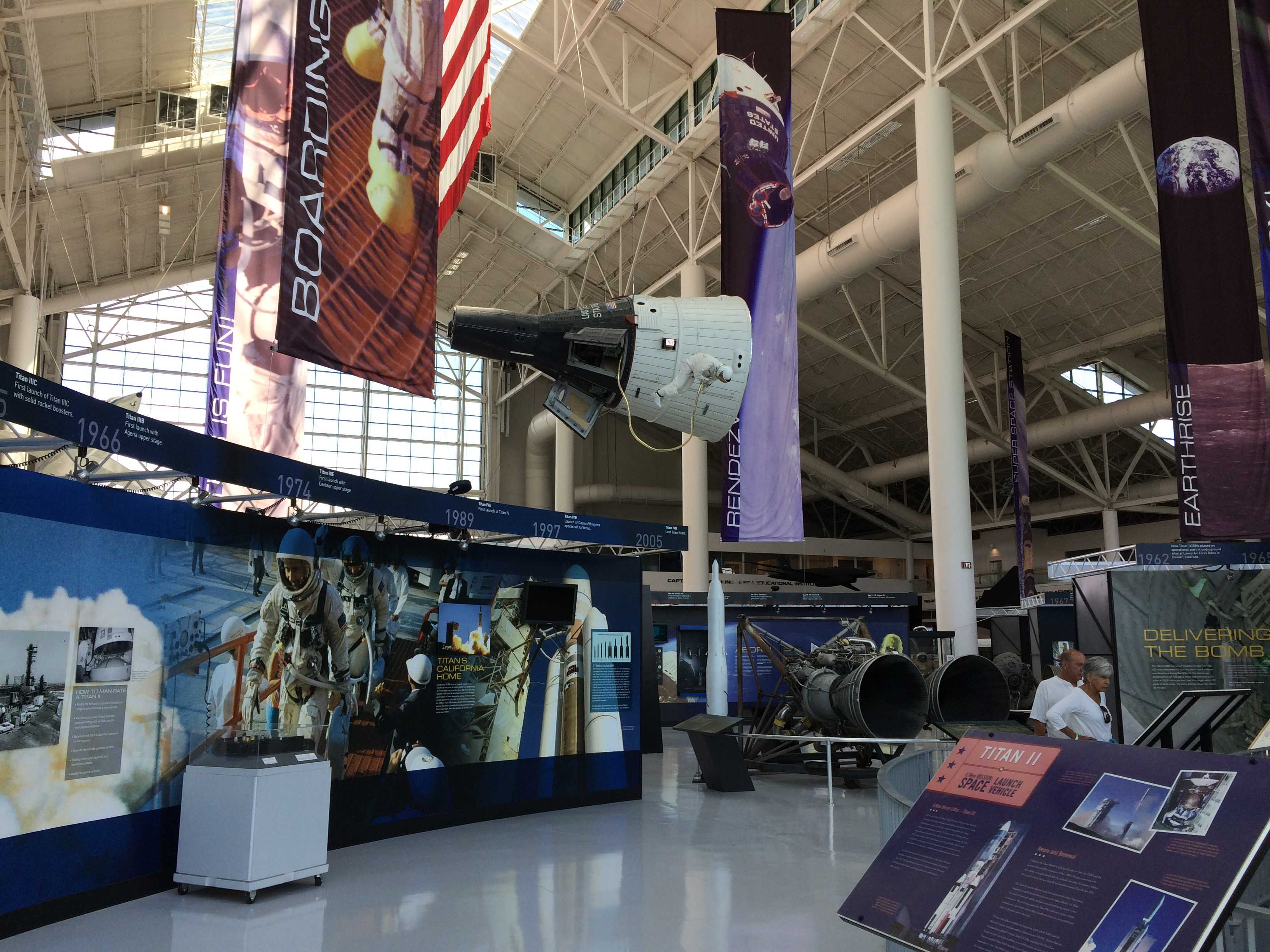
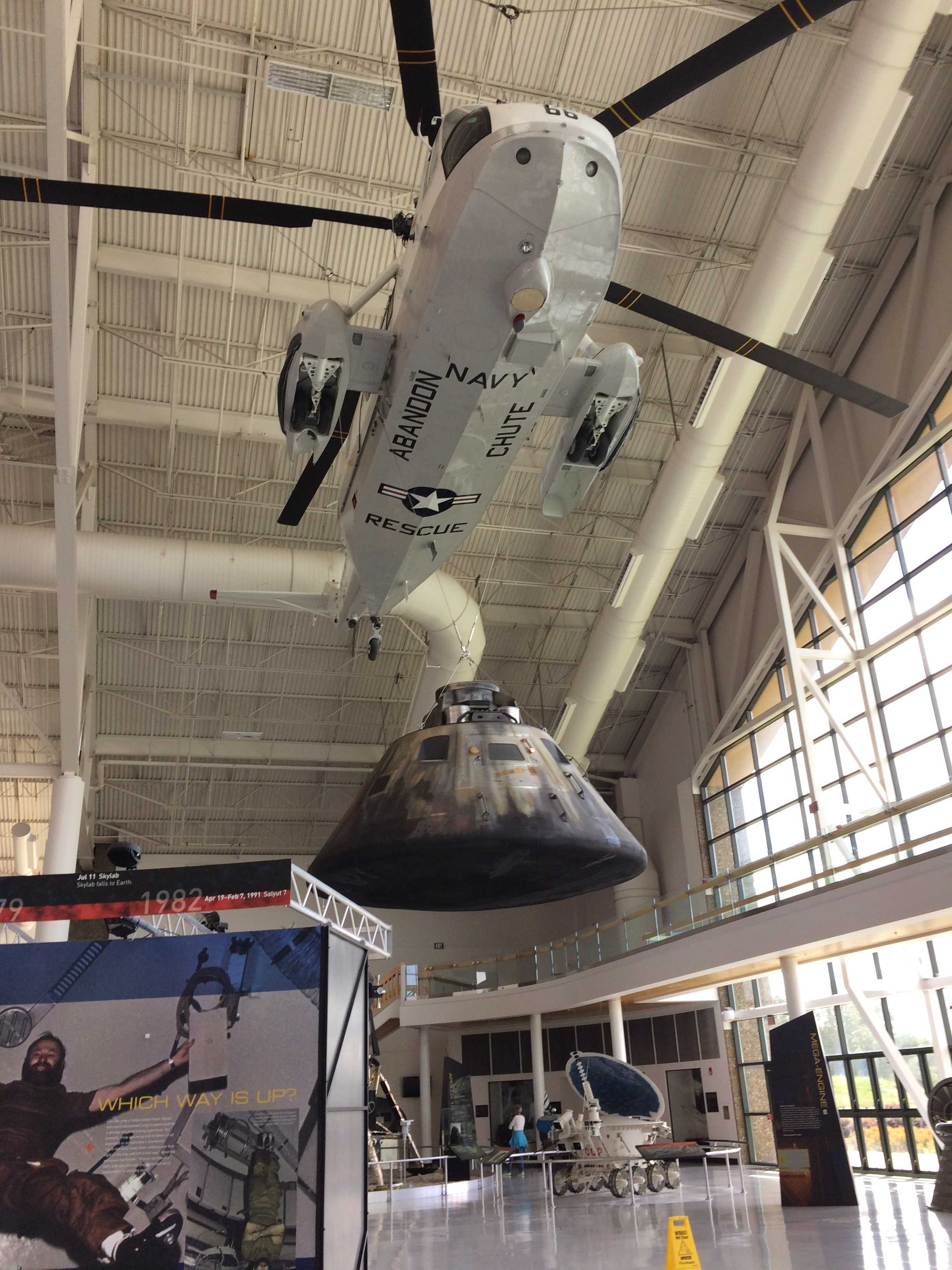
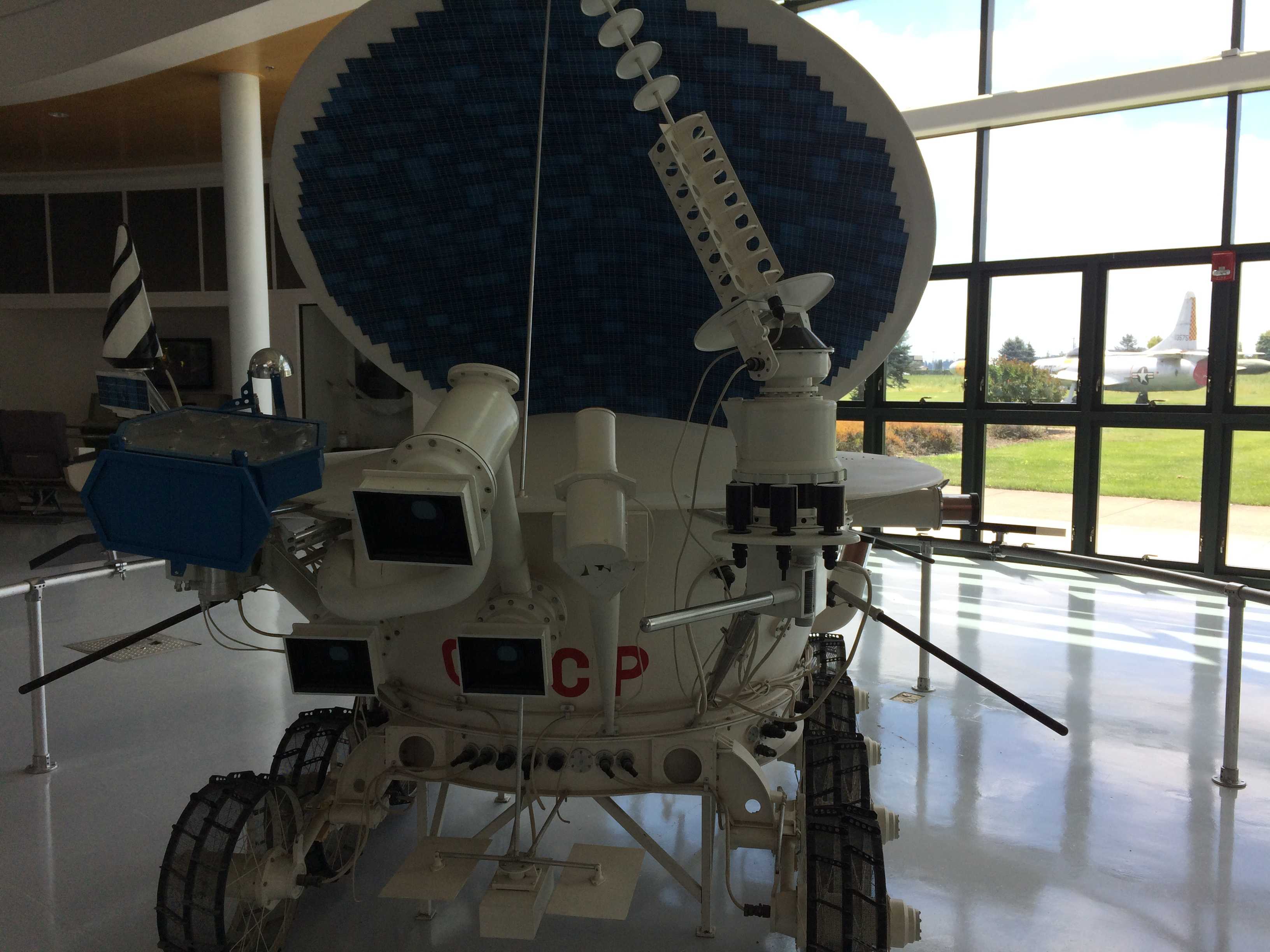
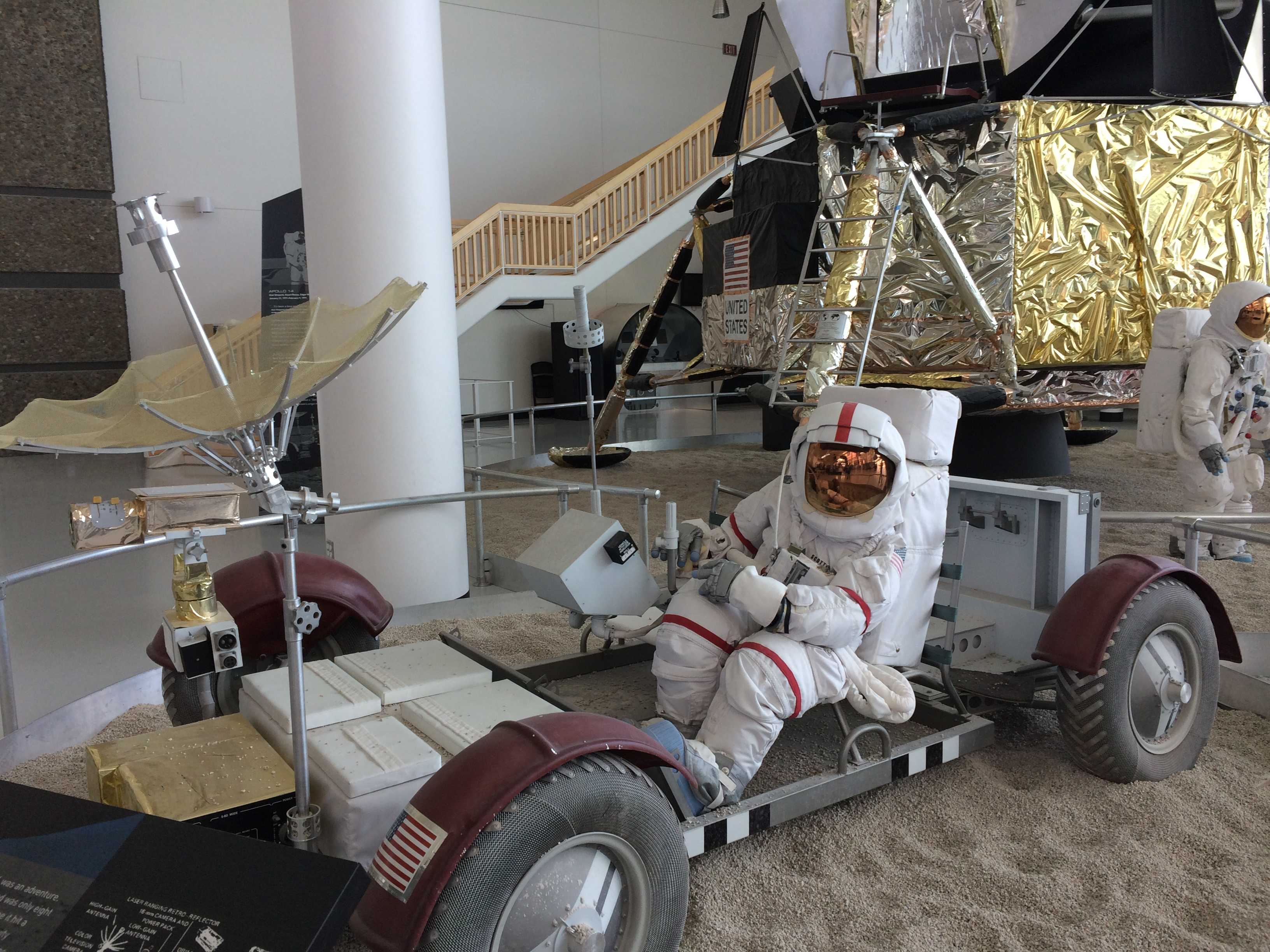
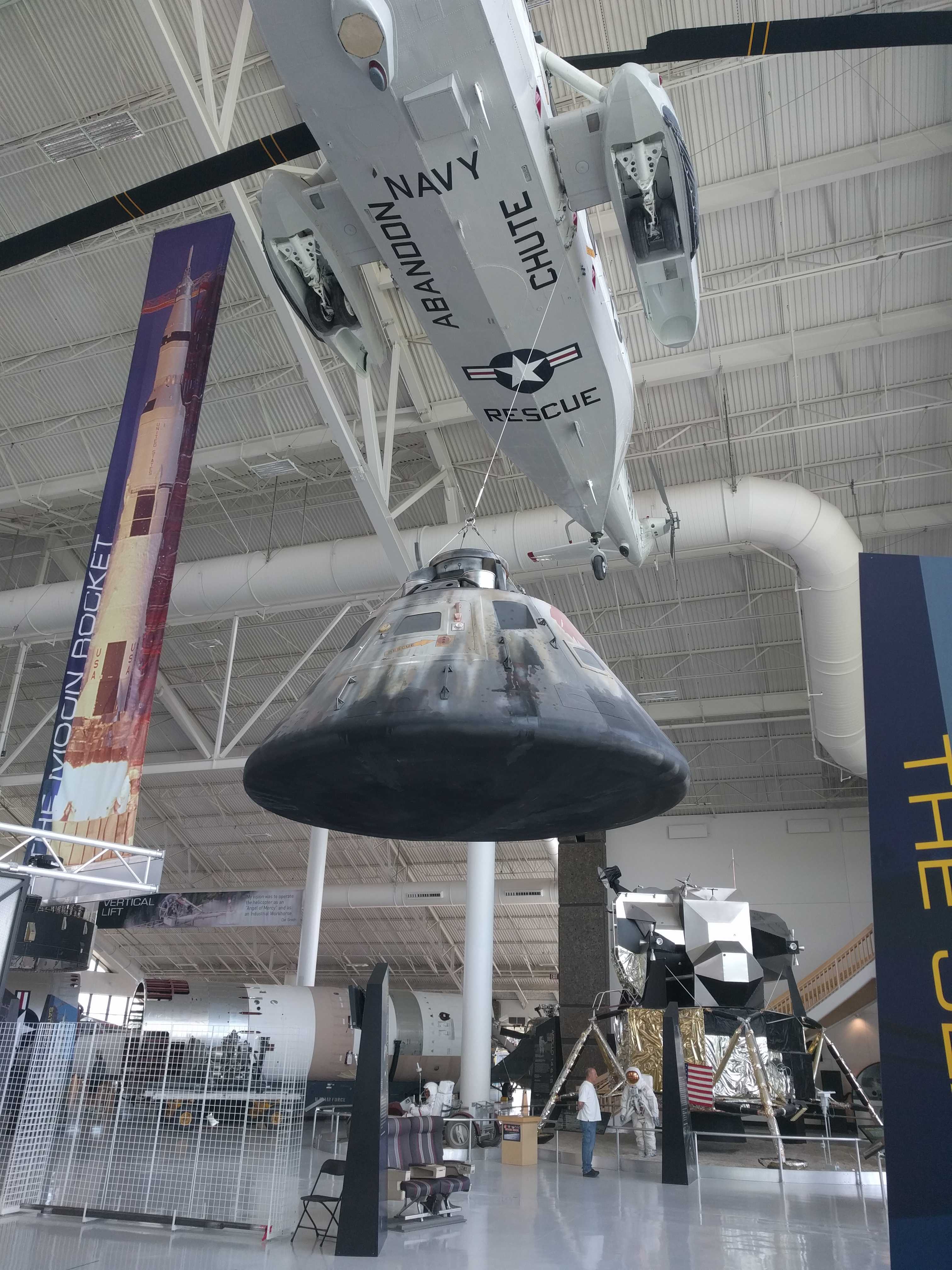
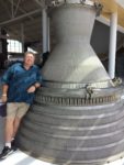
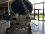
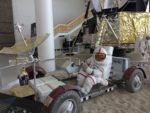
We entered the museum, paid and received our wristbands. The first thing you see was a V-1 and V-2 rockets. There was a Titan II missile,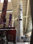 lots of older rockets, including a Redstone and others, and very cool displays with engines and capsules and even a LEM replica including the lunar rover and astronauts.
 But hidden behind all them was a display of 50’s and 60’s era
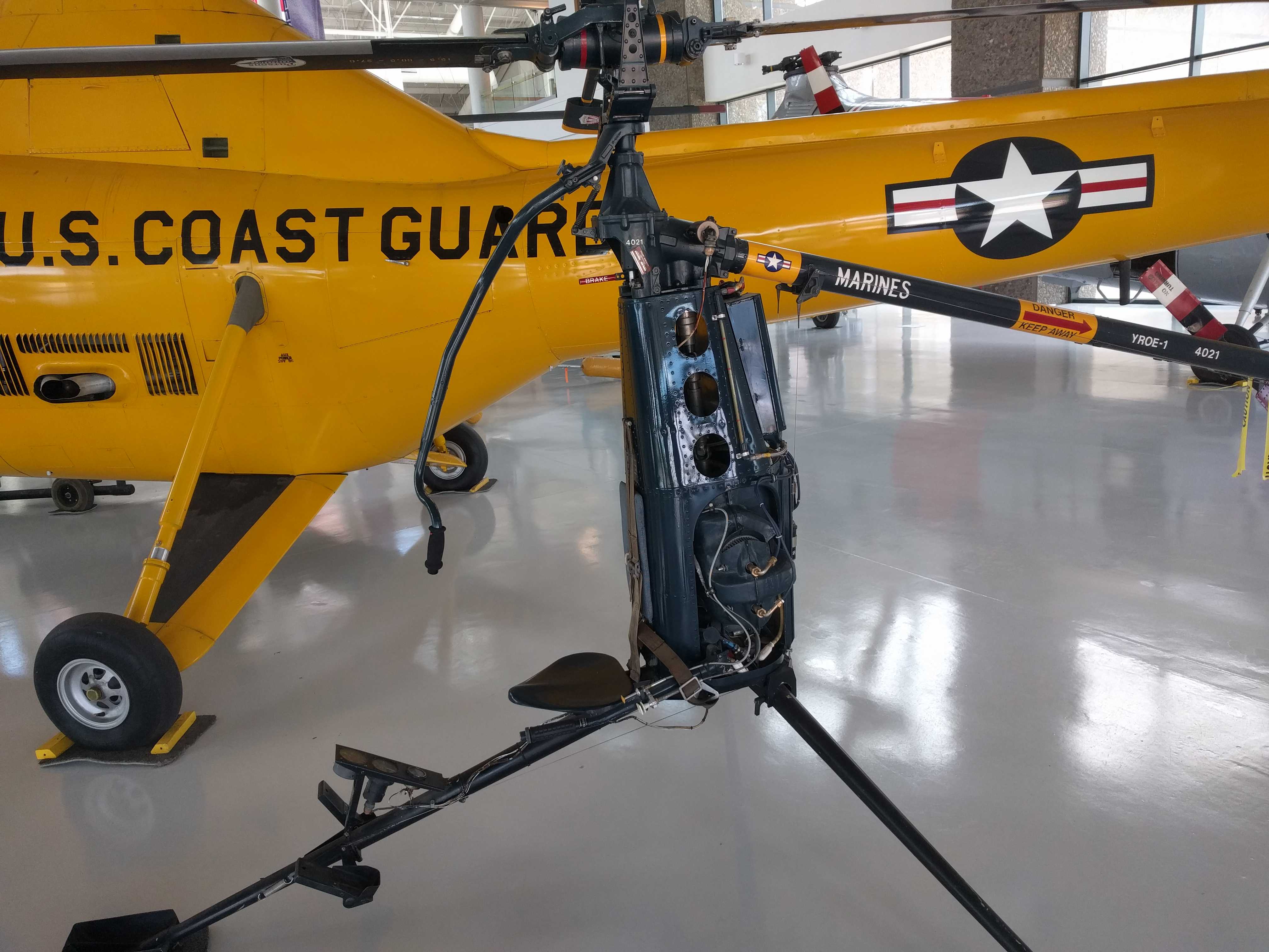
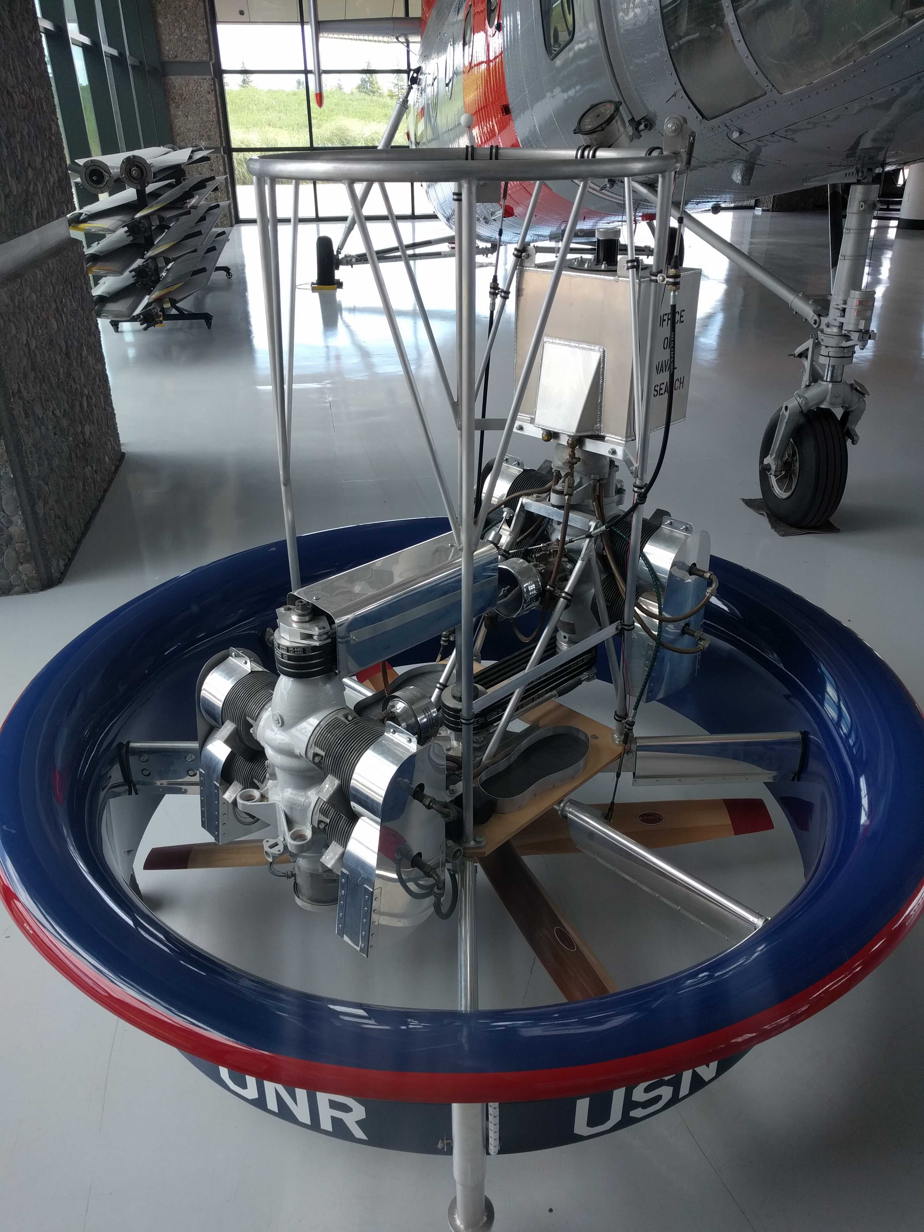
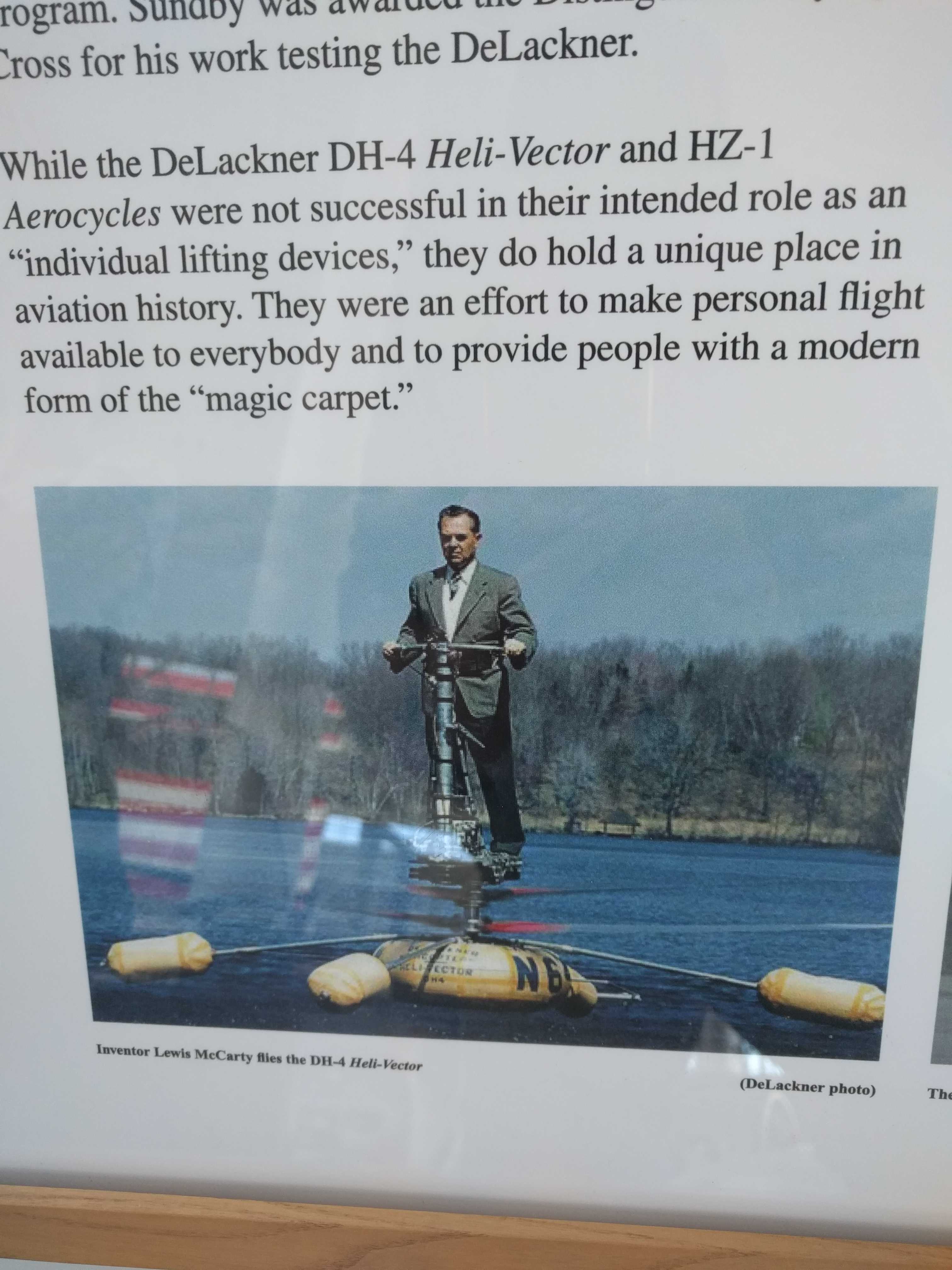
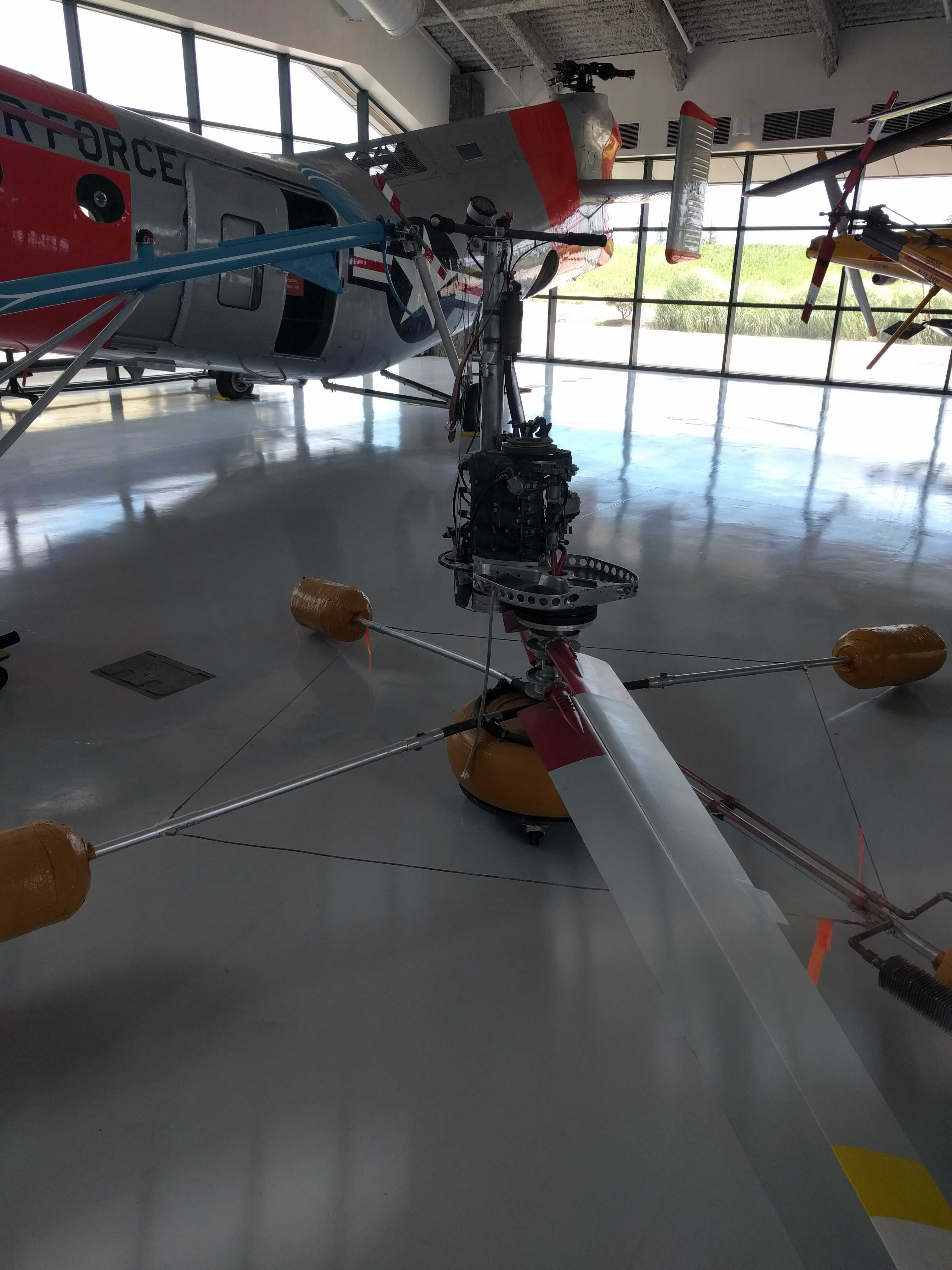
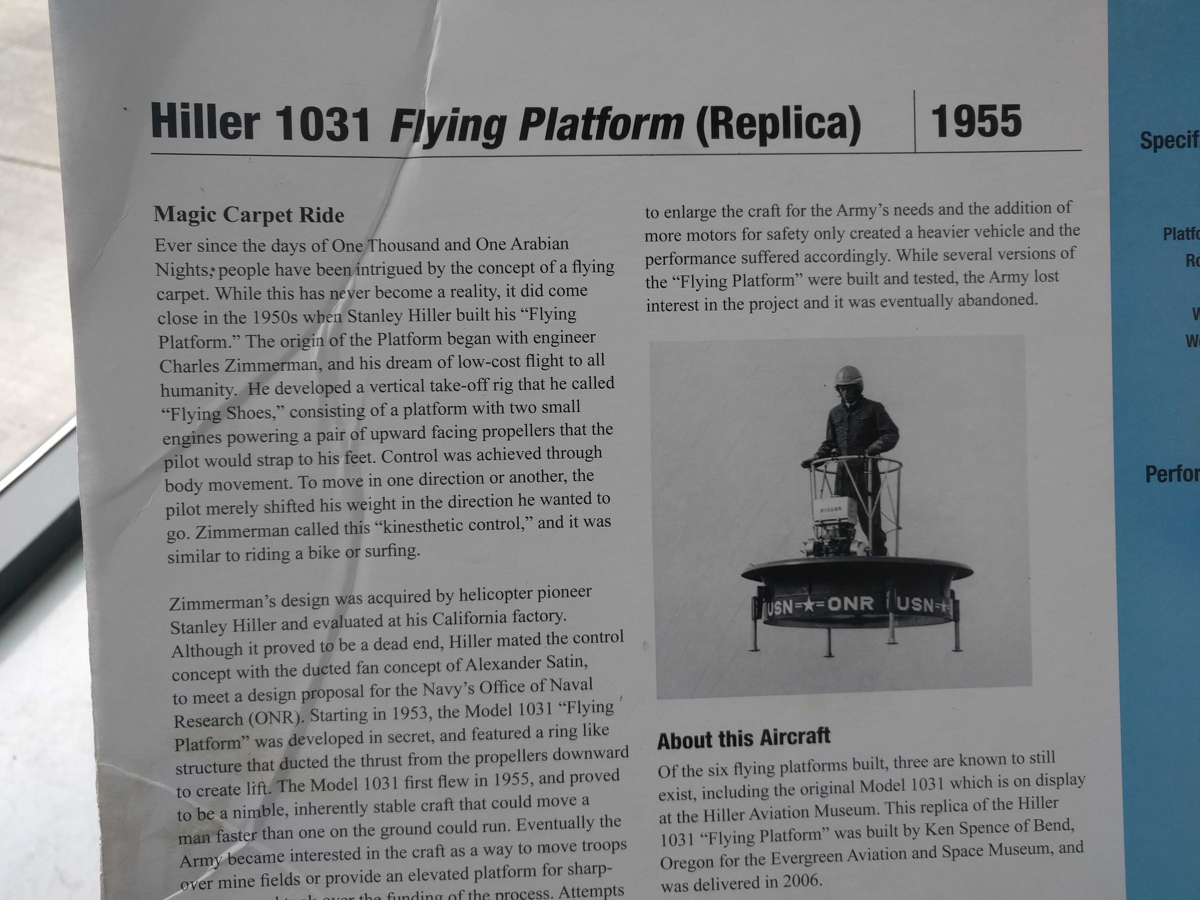
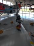
 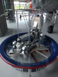 helicopters. Some of the weirdest ones I had ever seen, even ones where you stand on a small platform with no bubble around you. My favorite was a single seater from the Marines. The saying “letting it all hang out” must have been invented for that thing. One even had motors at the ends of the rotor blades.
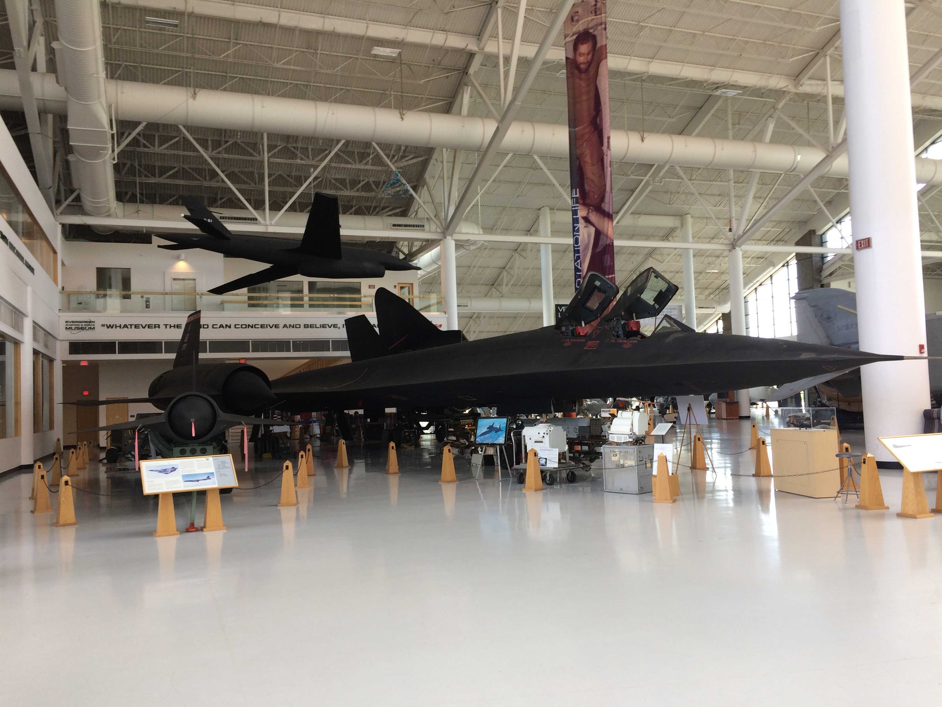
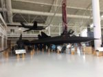 We headed back toward the front and found an SR-71 with the engine exposed and sort of almost below it; but the biggest surprise for me was the SR-71 Drone that it could carry on its back. I had never even heard of that, let alone seen one. One of the docents near the SR-71 took an interest in Kathy, and she followed us around till we left, explaining all about those Jets. She was a pilot and knew quite a bit about all of them. That was pretty cool, like a personal guided tour for about an hour.
She pointed out the planes that were just a shell for display, which I think she called “Pickles on a Stick”. Odd name, but I probably won’t be able to think of a plane again without that image coming to mind. She also told us about the history behind the museum being built. The owner had 2 sons, one a race car driver and one a pilot. The race car driver had an accident where the son that was a pilot died, along with a good friend of his. The museum is a learning center and museum in honor of his son. What an amazing tribute!
 After we had seen everything in that first (eastern) building, we headed for the short walk
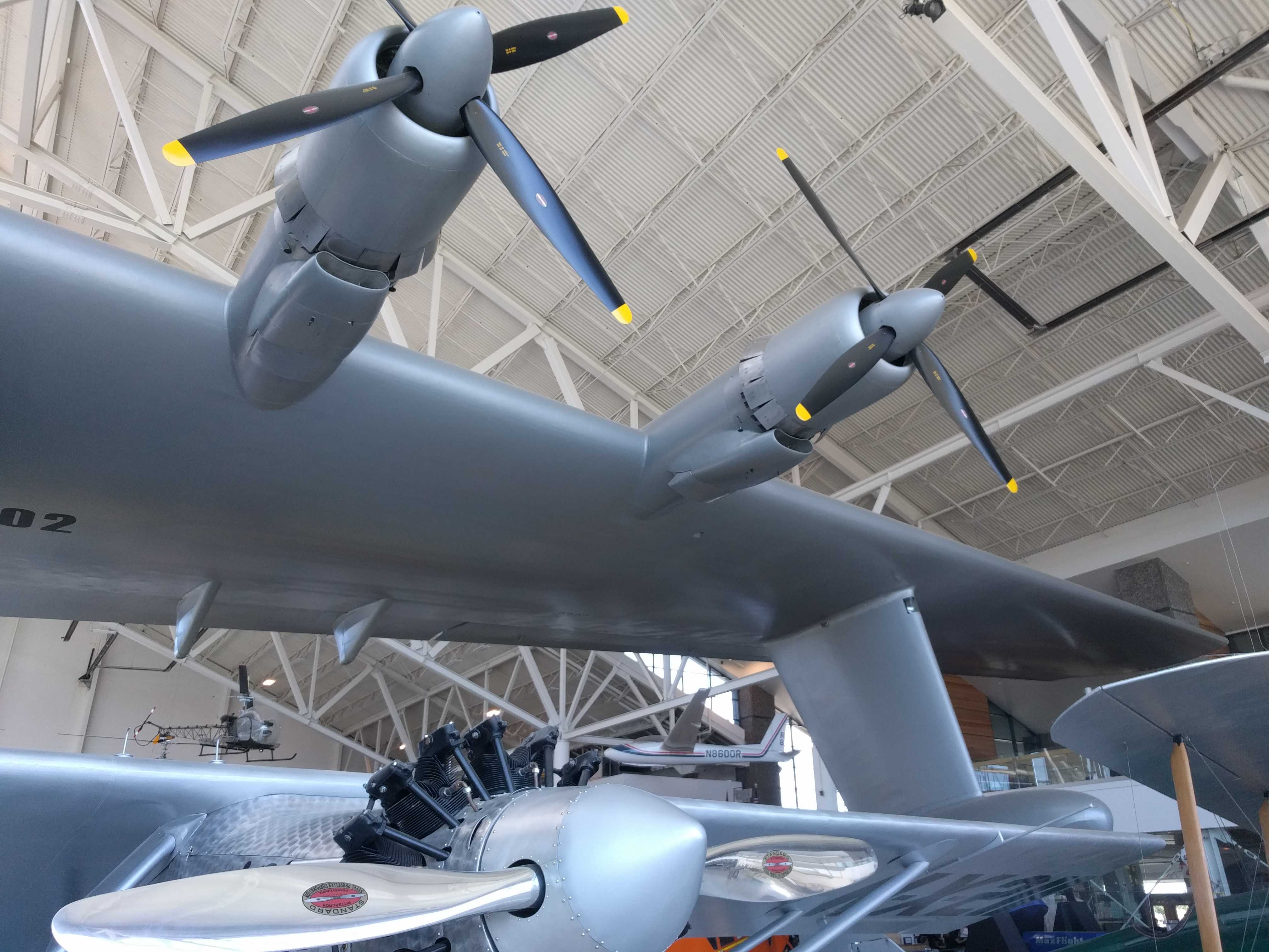
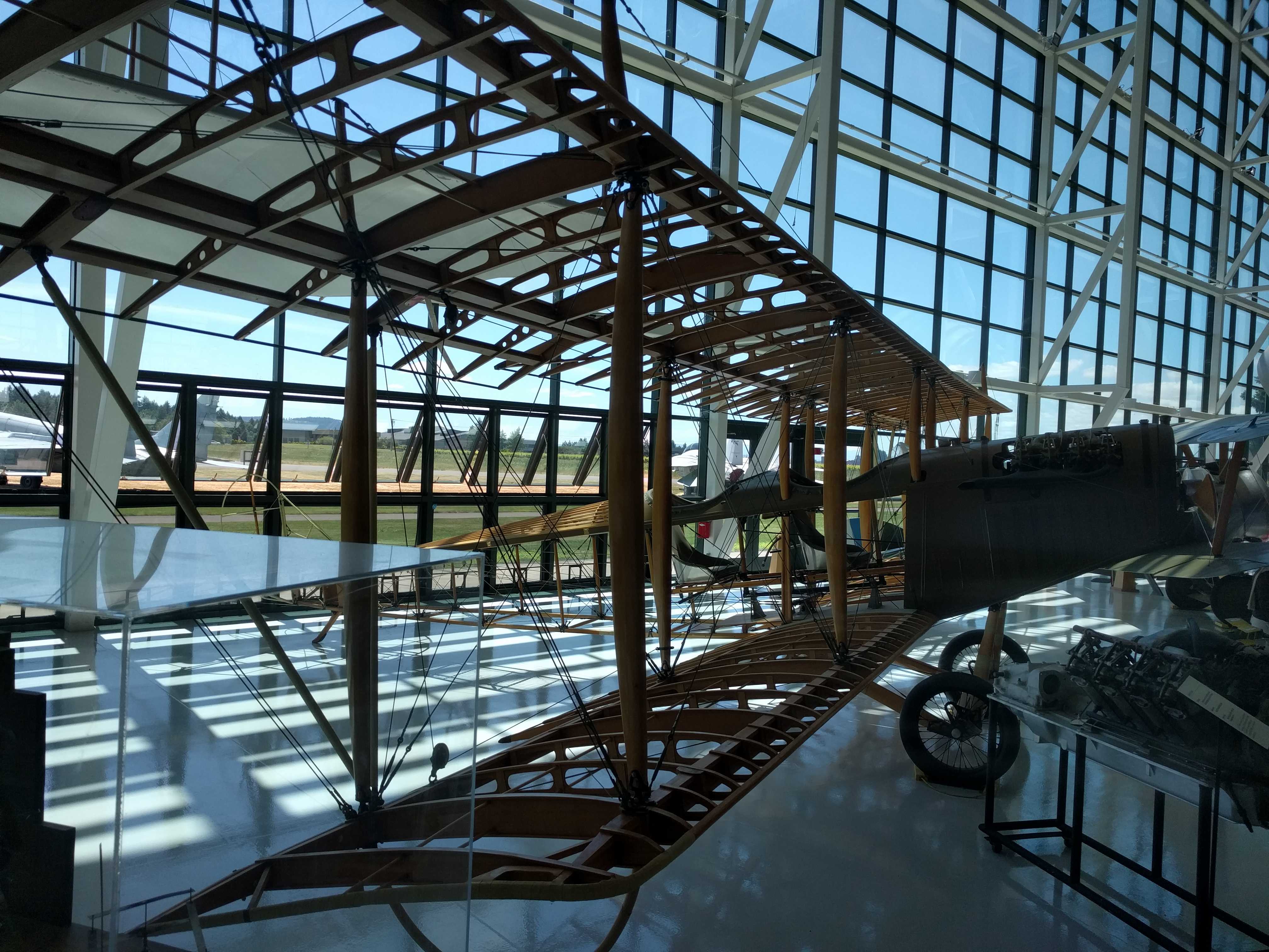
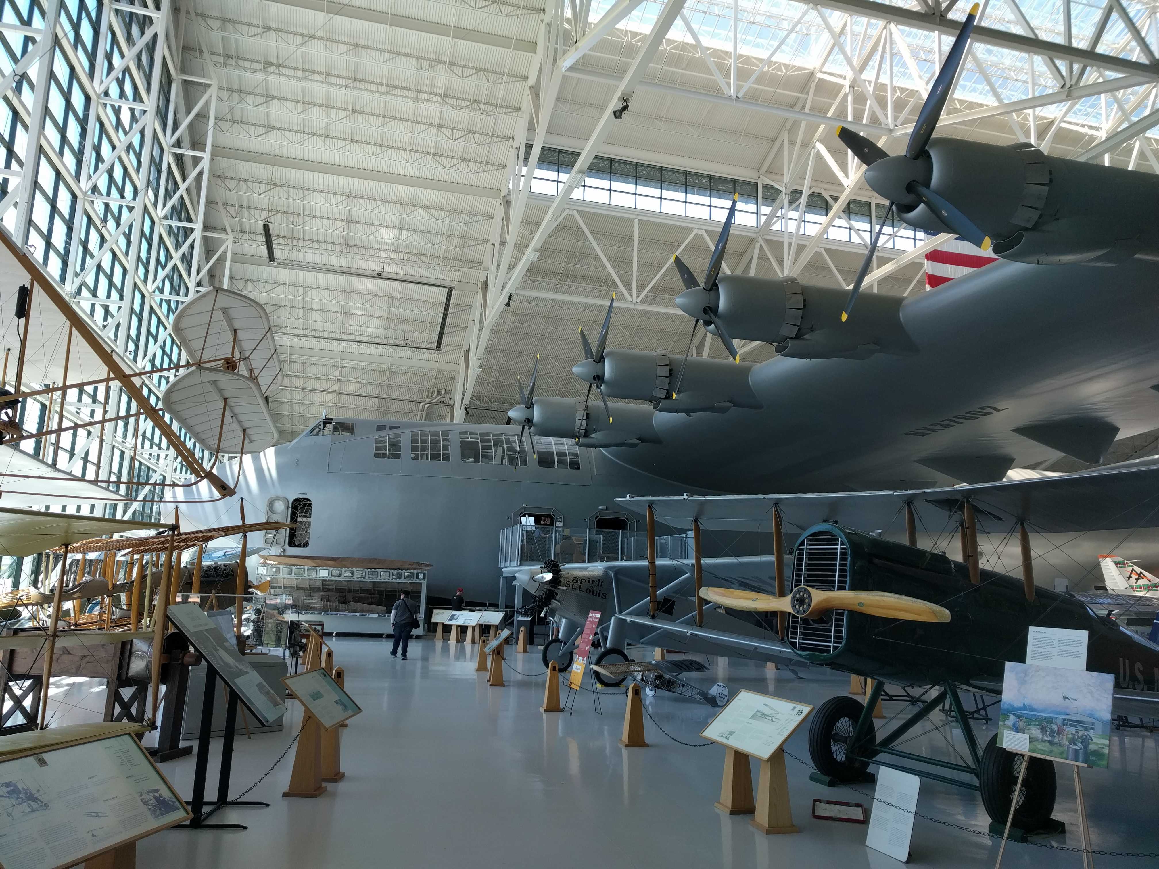
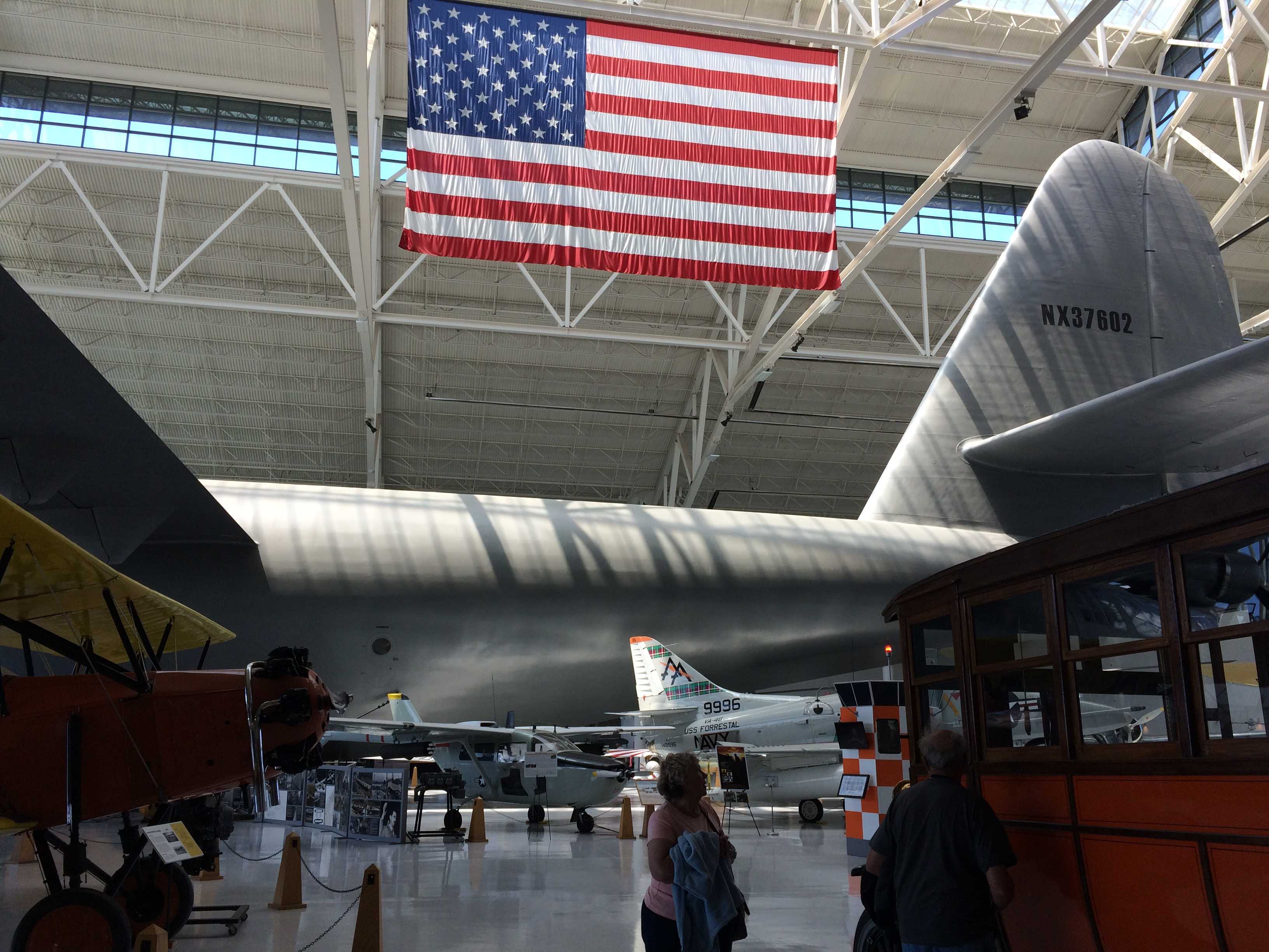
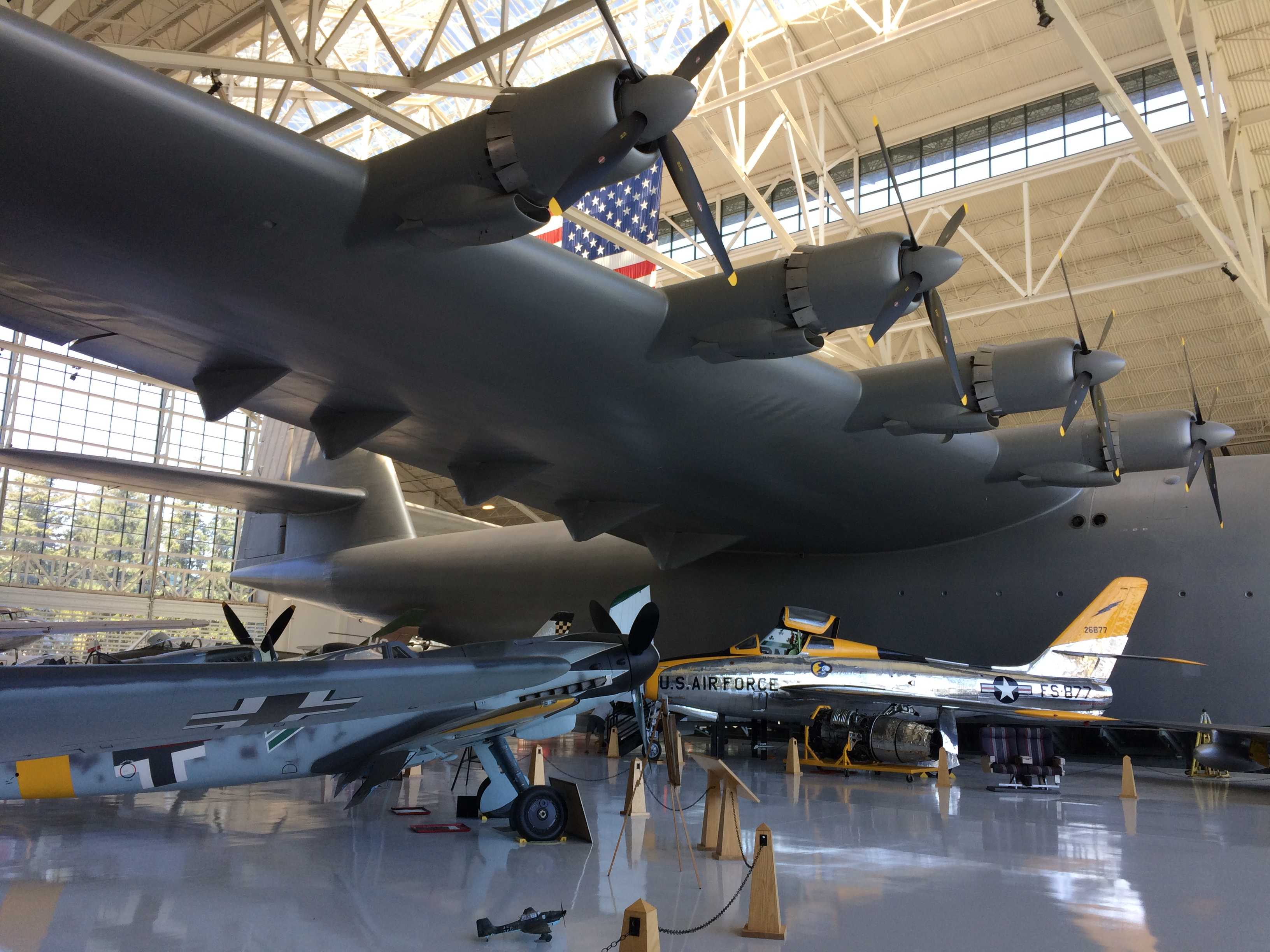
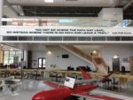
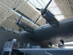
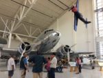
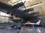
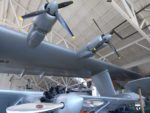 to the Aviation building with the older planes. The first thing you see when you walk into that building is a wing of the Spruce Goose. It’s basically the ceiling over your head. Geez is that plane big. I mean it’s huge! We couldn’t get it all in one picture.
To enter, you walk thru an engine nacelle from a large jet as a kind of tunnel entrance. You cannot miss the Goose as it’s the whole center of the building. They brought it up here in pieces when the building was almost built. They left the sides open to get the Goose in, then rebuilt it inside of the building. It’s amazing to see!!! There are lots of planes surrounding it.
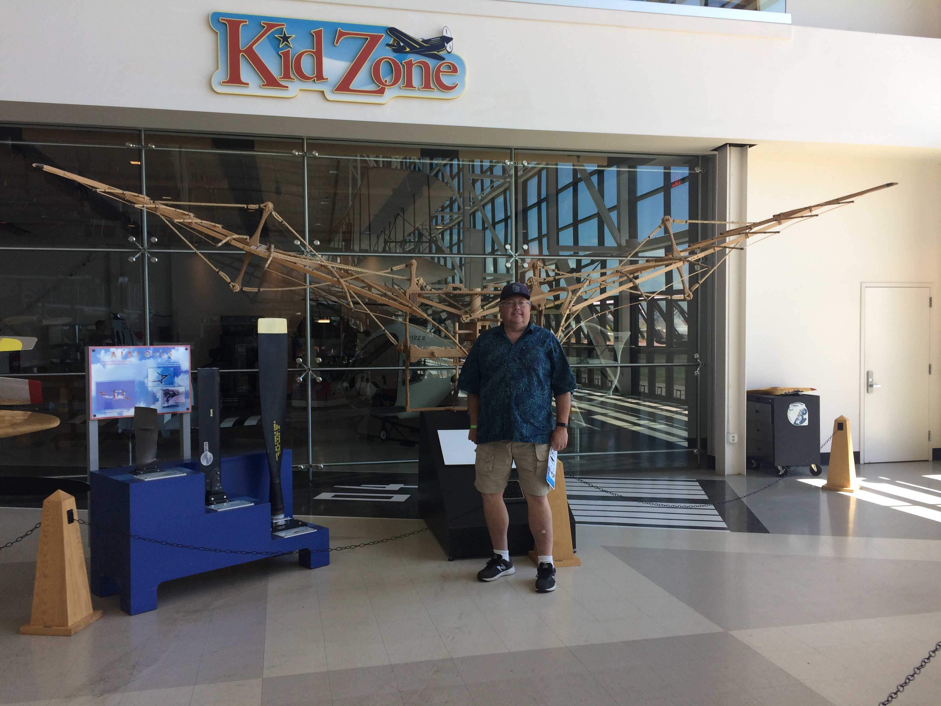
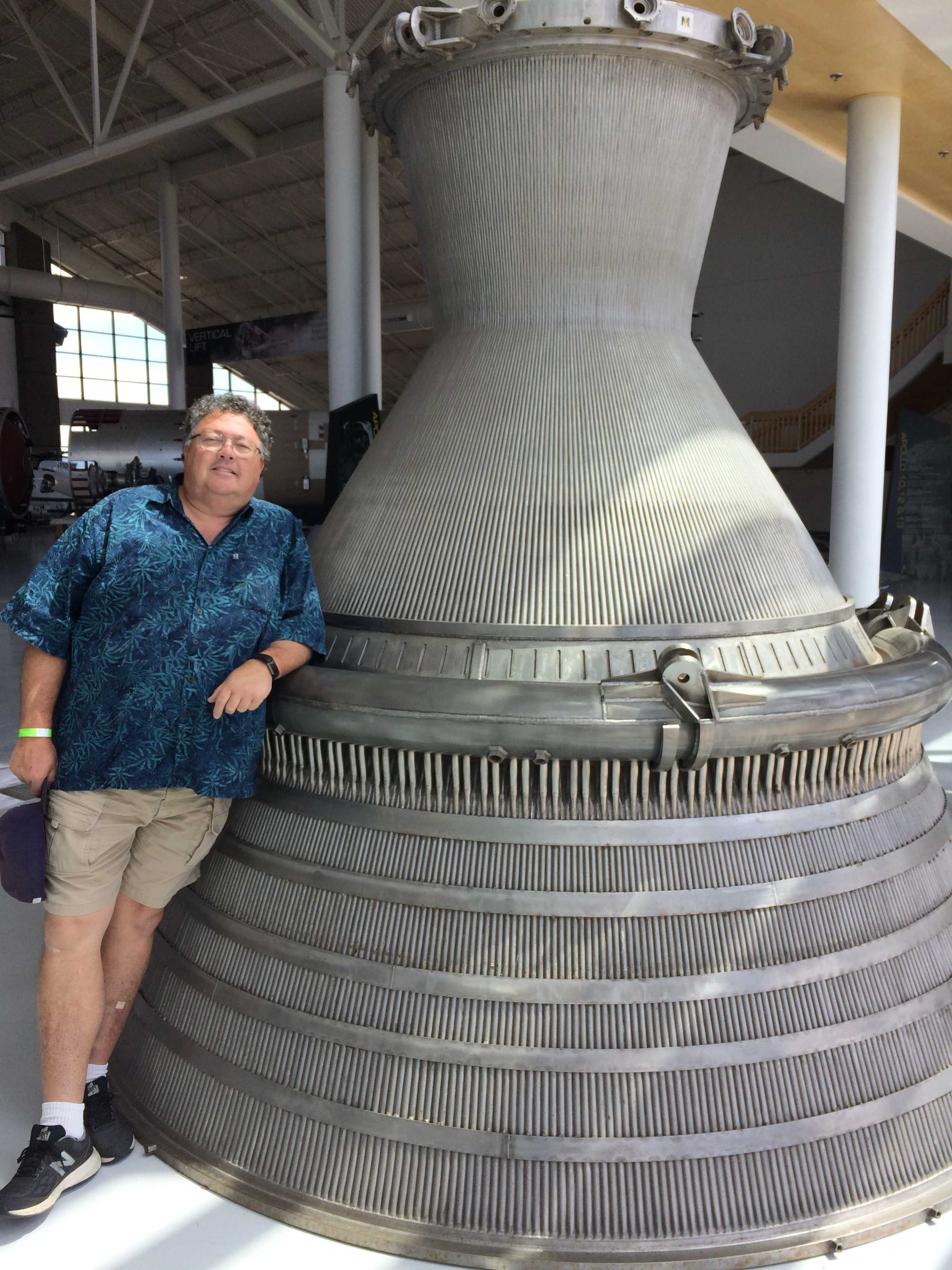
 We decided to take a tour starting in a few minutes, so we stopped for lunch in the little cafe in the building. Then we were off, starting with the types of engines on display and over to the Da Vinci flying machine replica. Now that was pretty cool itself. Then over to the early part of aviation with the
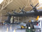
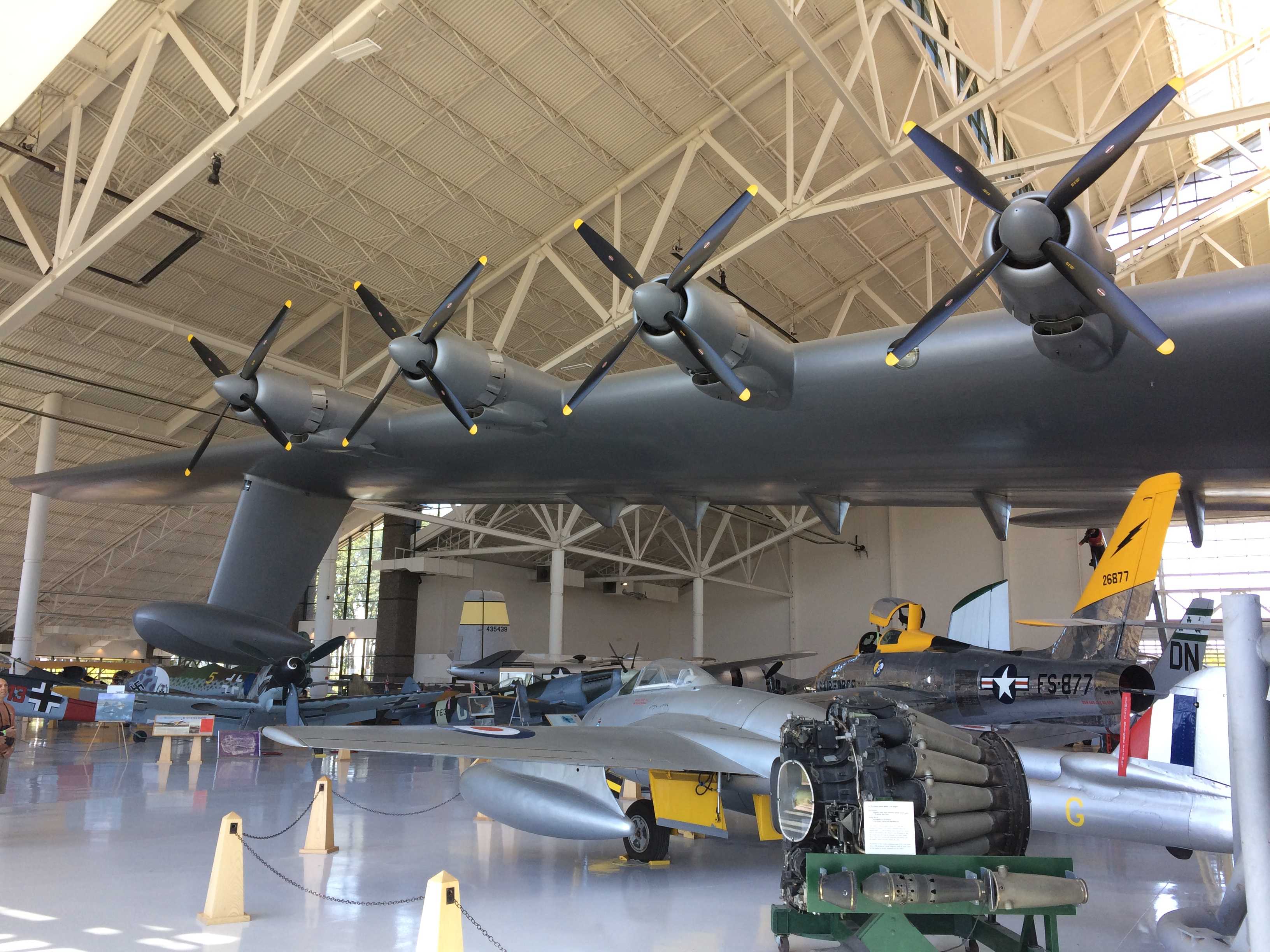
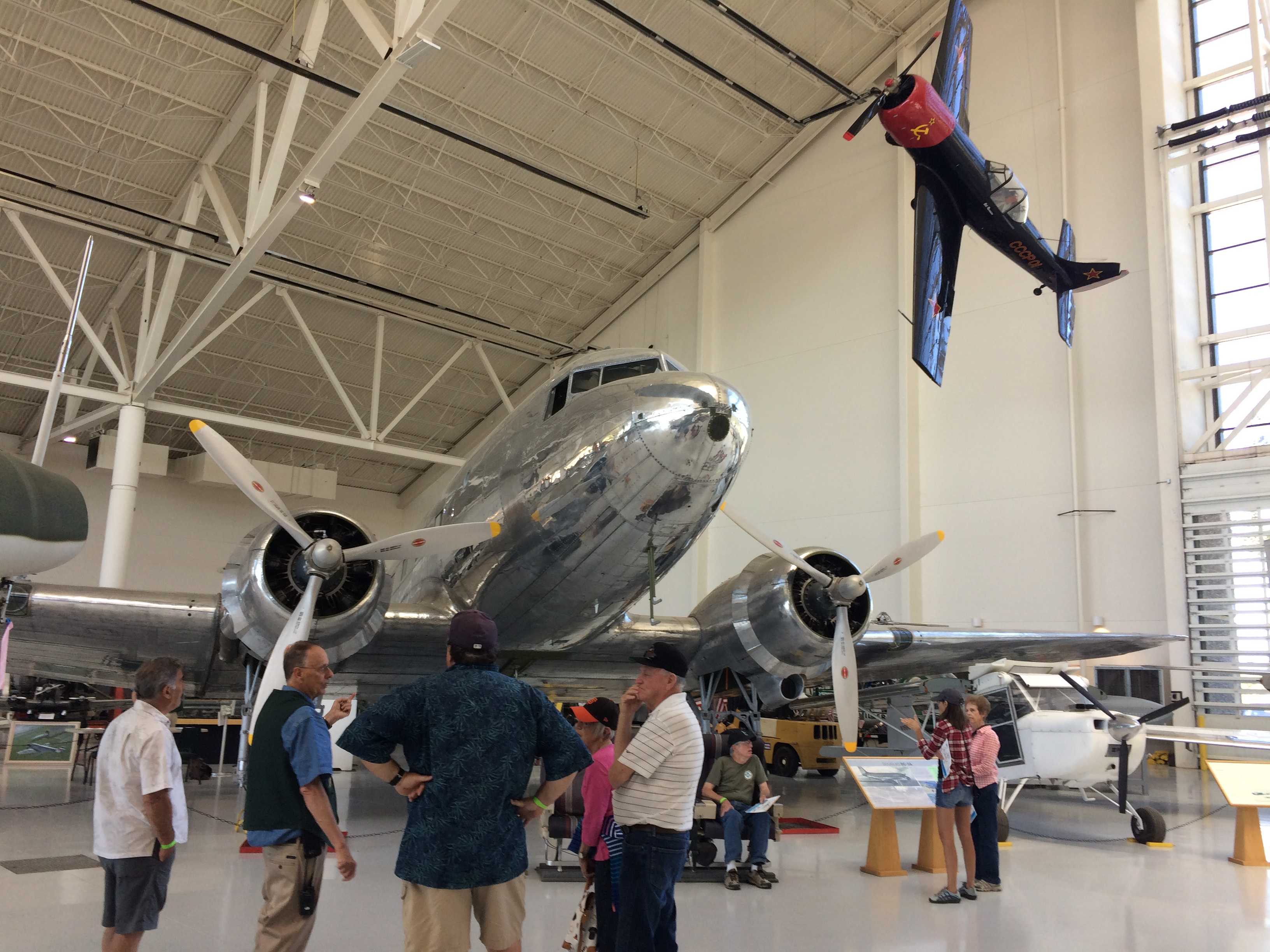
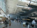
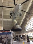
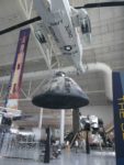
 Wright brothers and Curtiss planes. There were so many cool Korean and WW11 planes to see. There is even a MASH era helicopter hanging from the ceiling with the baskets for the wounded mounted on each side. We toured around the back of the Goose where all the Korean jets were and over to the Spitfires and Messerschmidt 109’s.
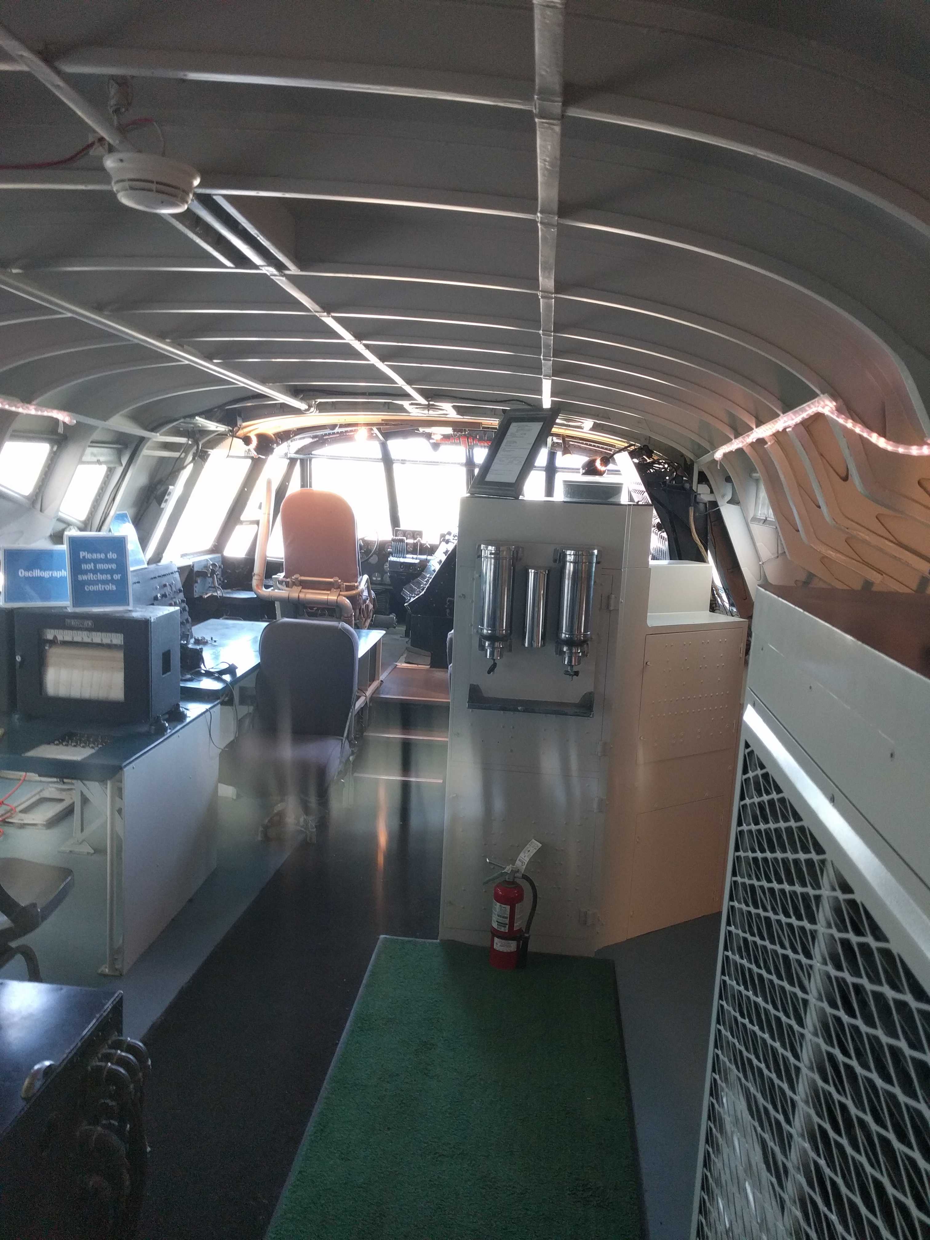
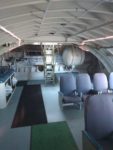
 Then we went for the main attraction, and climbed the stairs to go inside the Goose. It’s really large inside. They said it was intended to
 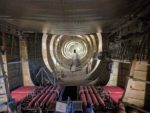 carry 750 troops into battle landing on the water. Not sure how they would get to shore from it though. I guess I should have asked that.
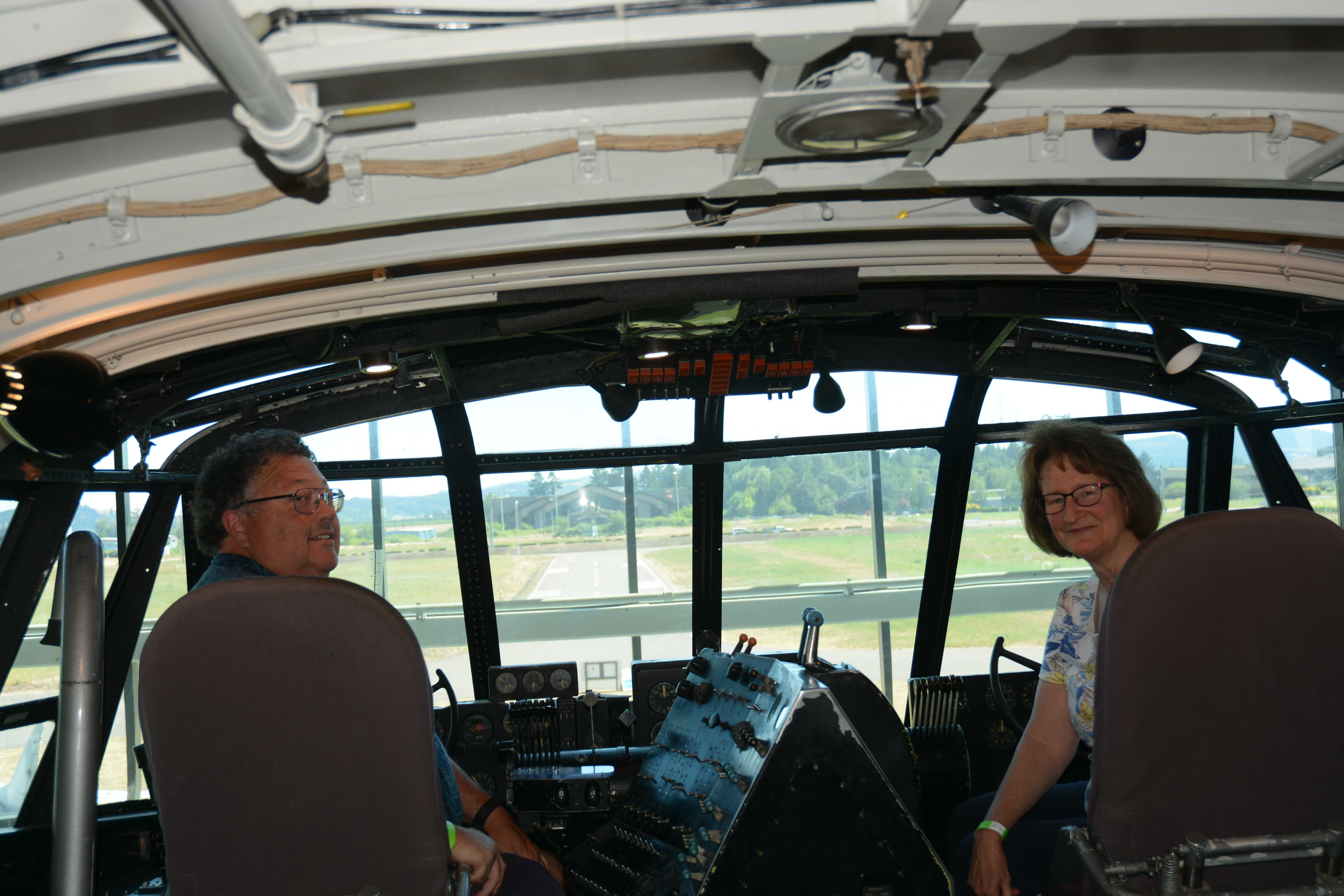
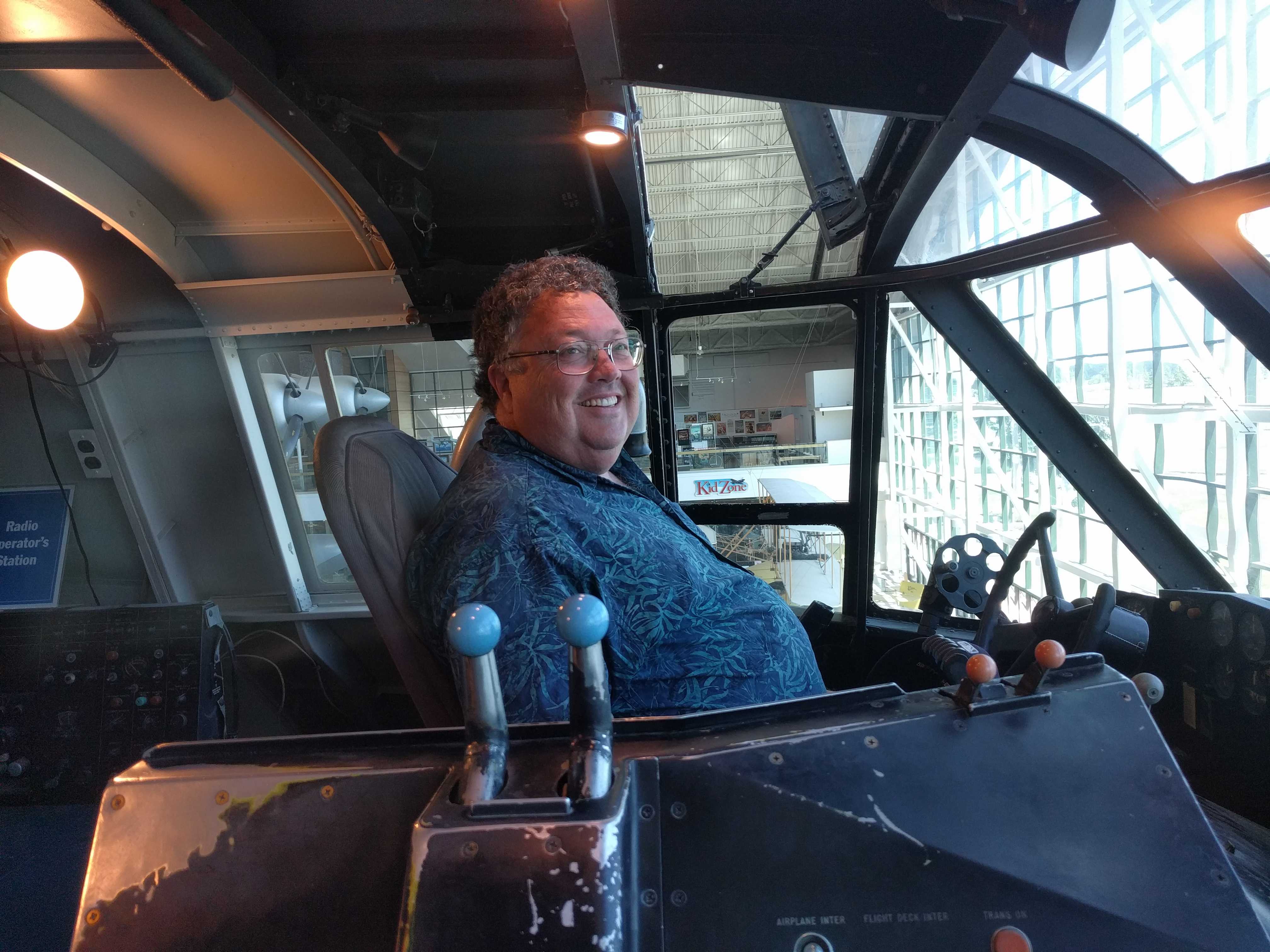
 After going inside, they mentioned that for $29 more we could have our pictures taken in the cockpit which was behind thick glass panels and up a circular staircase. Kathy eventually talked me into it and I’m glad she did. What an interesting cabin that was. Very large, about the size of a 747 second floor.
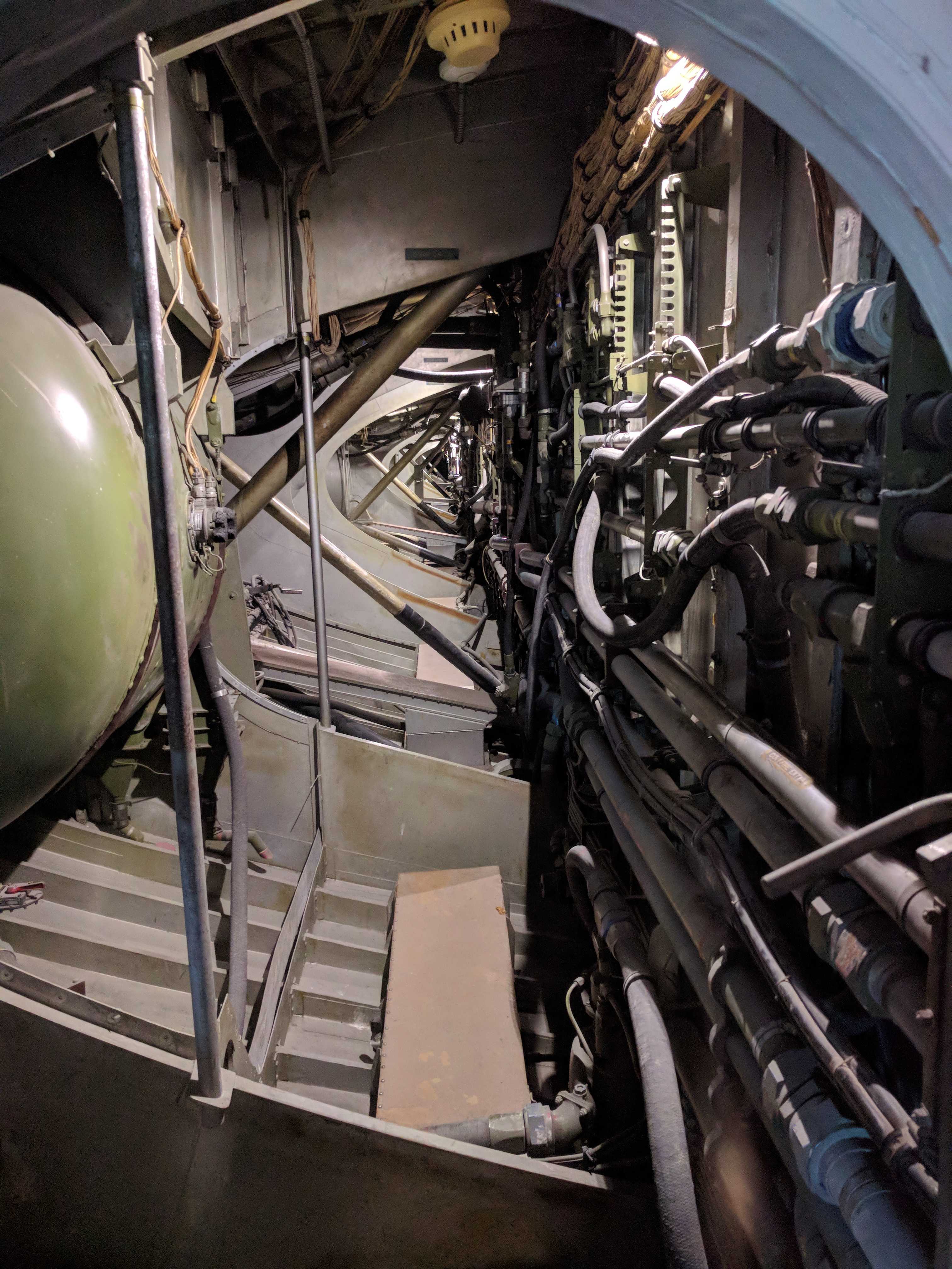
 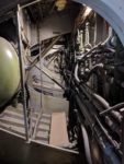 What astonished me even more was a doorway I looked into that turned out to be the inside of one of the wings. It was a very long walkway/hallway that was at least 7′ tall where I was. It looked to get a bit shorter as you got to the end of the wing, but not that much shorter.
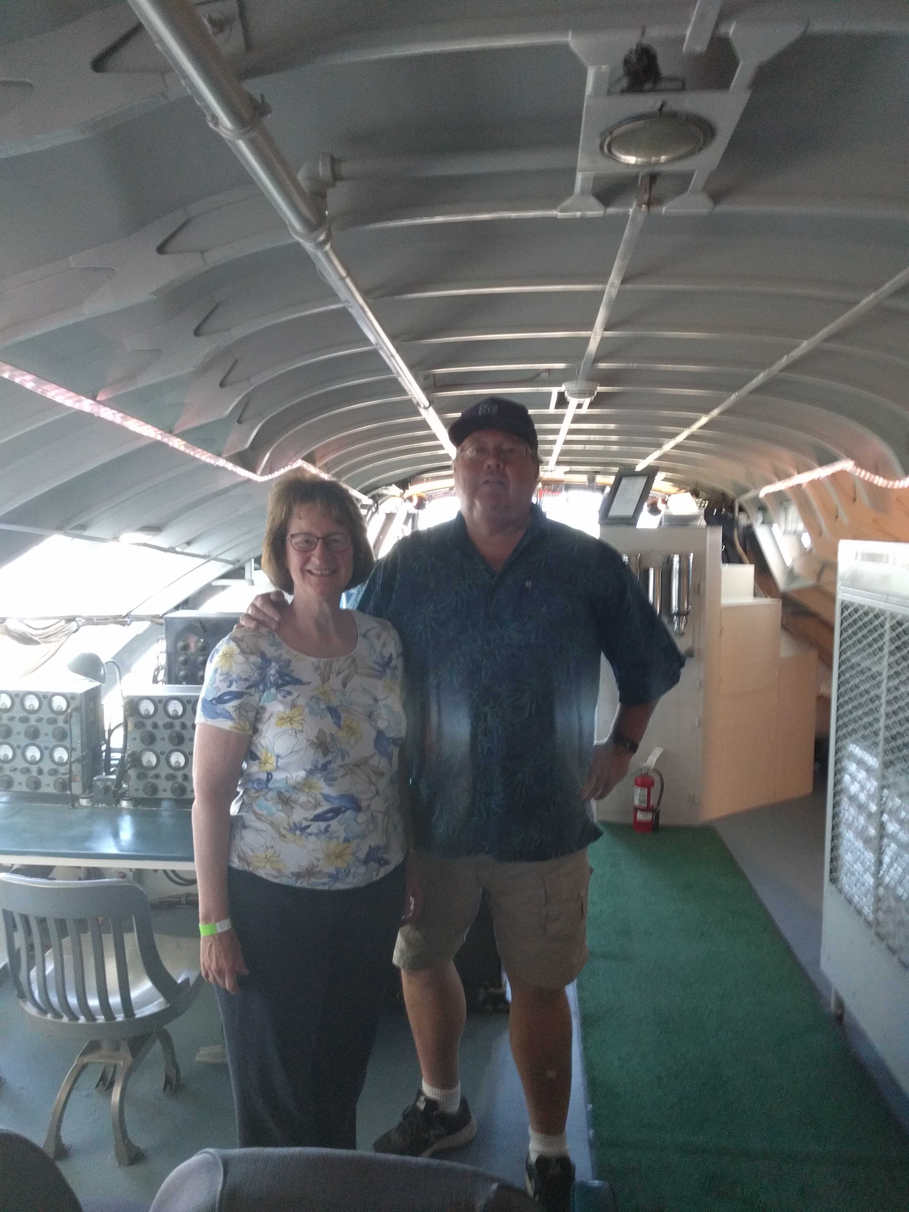
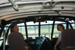
 Then we got to climb into the pilot and copilot seats, which was a first for any museum I’ve ever been to. I’ve been to a lot over the years, including most of the Smithsonian museums in D.C.
Getting into the pilot seat was very interesting for a guy my size. There was almost no room for someone over 5’10” tall and skinny. Also it was high off the ground, tickling my acrophobia.
Once I got in there, I started wondering how the heck I would get out. Kathy had jumped into the copilot seat even before I started toward the front. That side had lots of room, and most of the controls were on the pilot’s side. It wasn’t hard getting out like I thought it would be, but swiveling in the chair for the picture was not happening. I could not move my legs more than an inch or two due to all the “things” in the way.

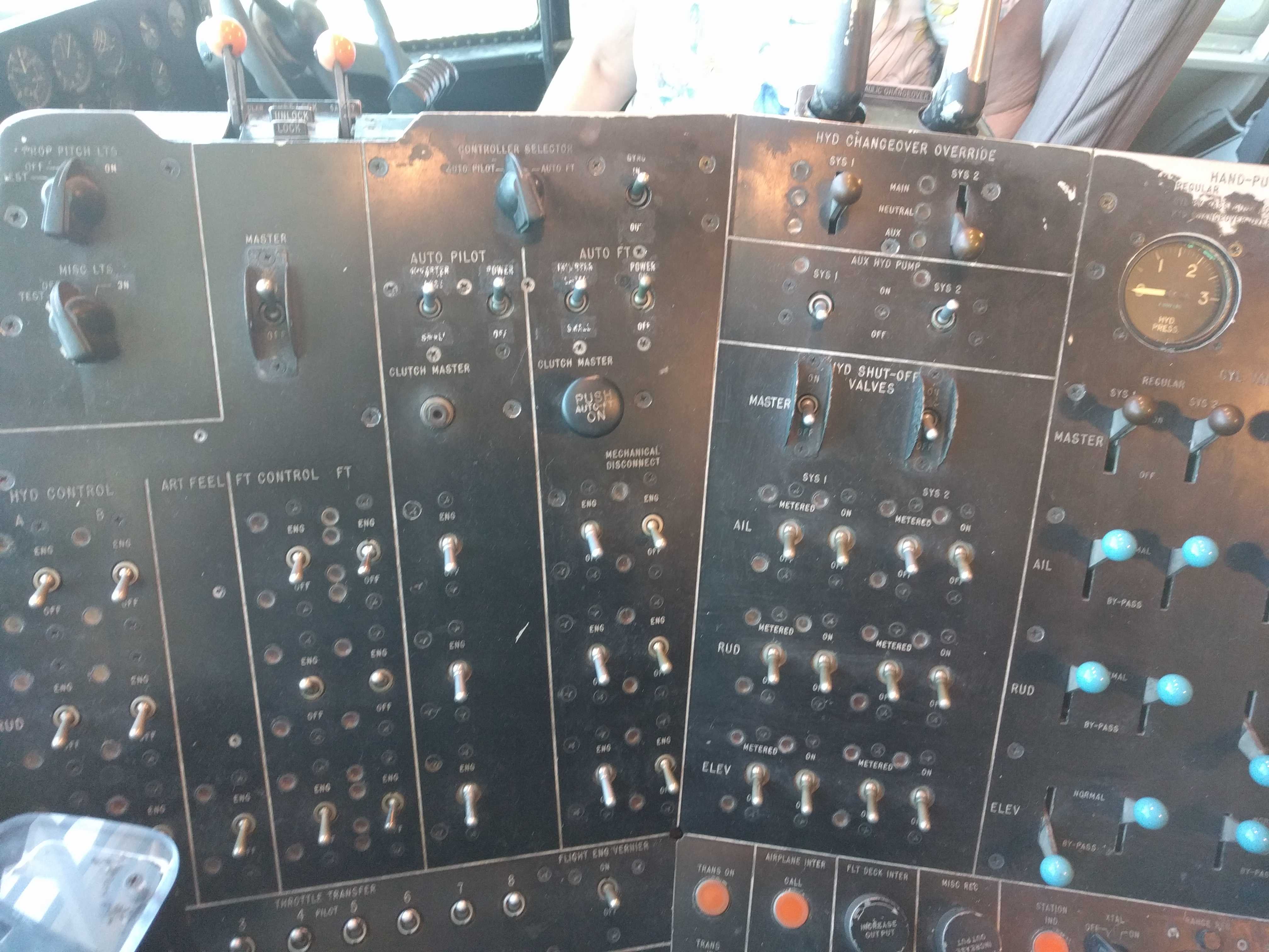
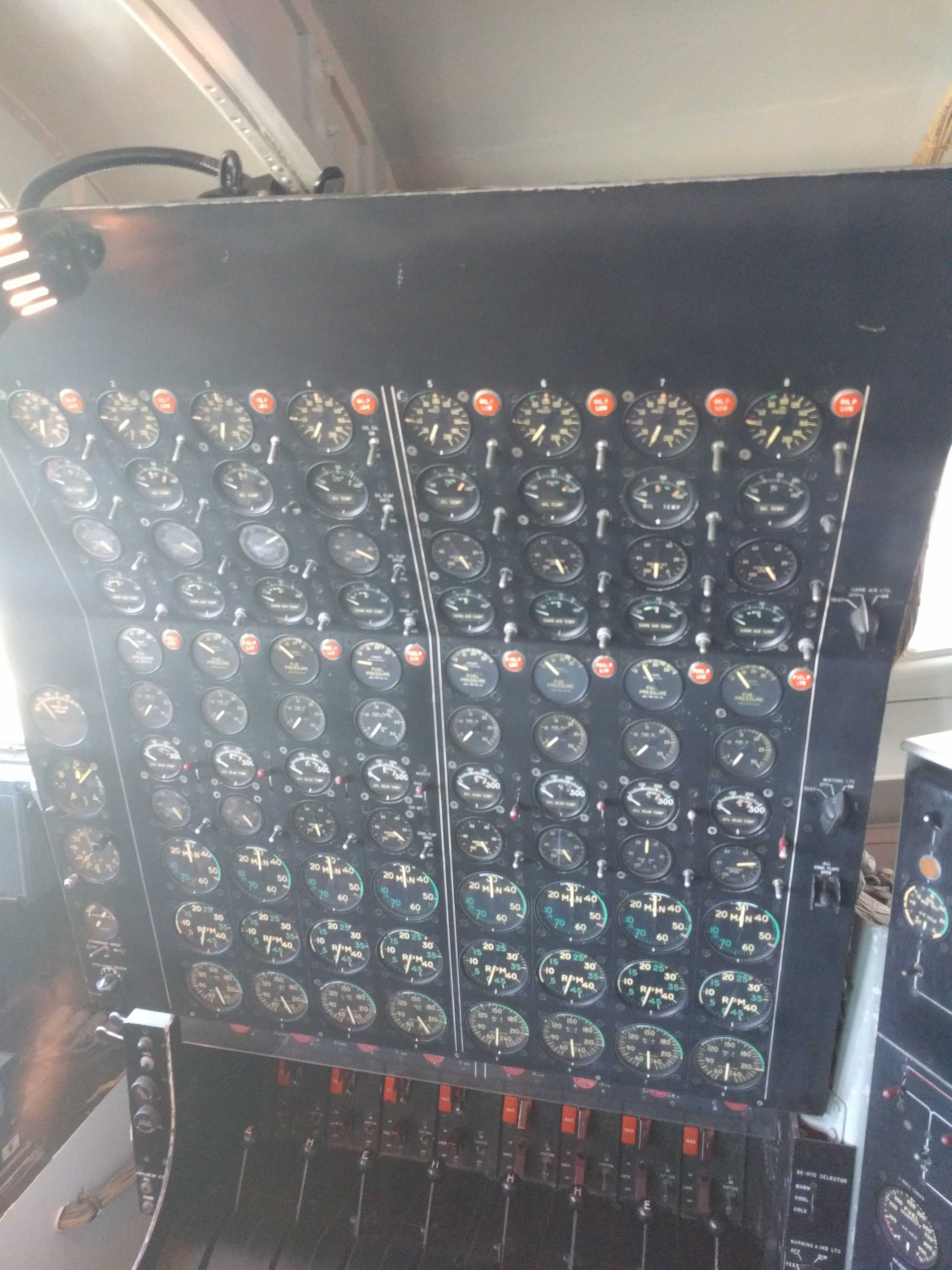
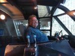
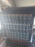 I asked the docent if I could start the engines, and he said to “go for it” Just amazing! There are a zillion gauges and switches up there. Check out that one panel. There were too many to count.
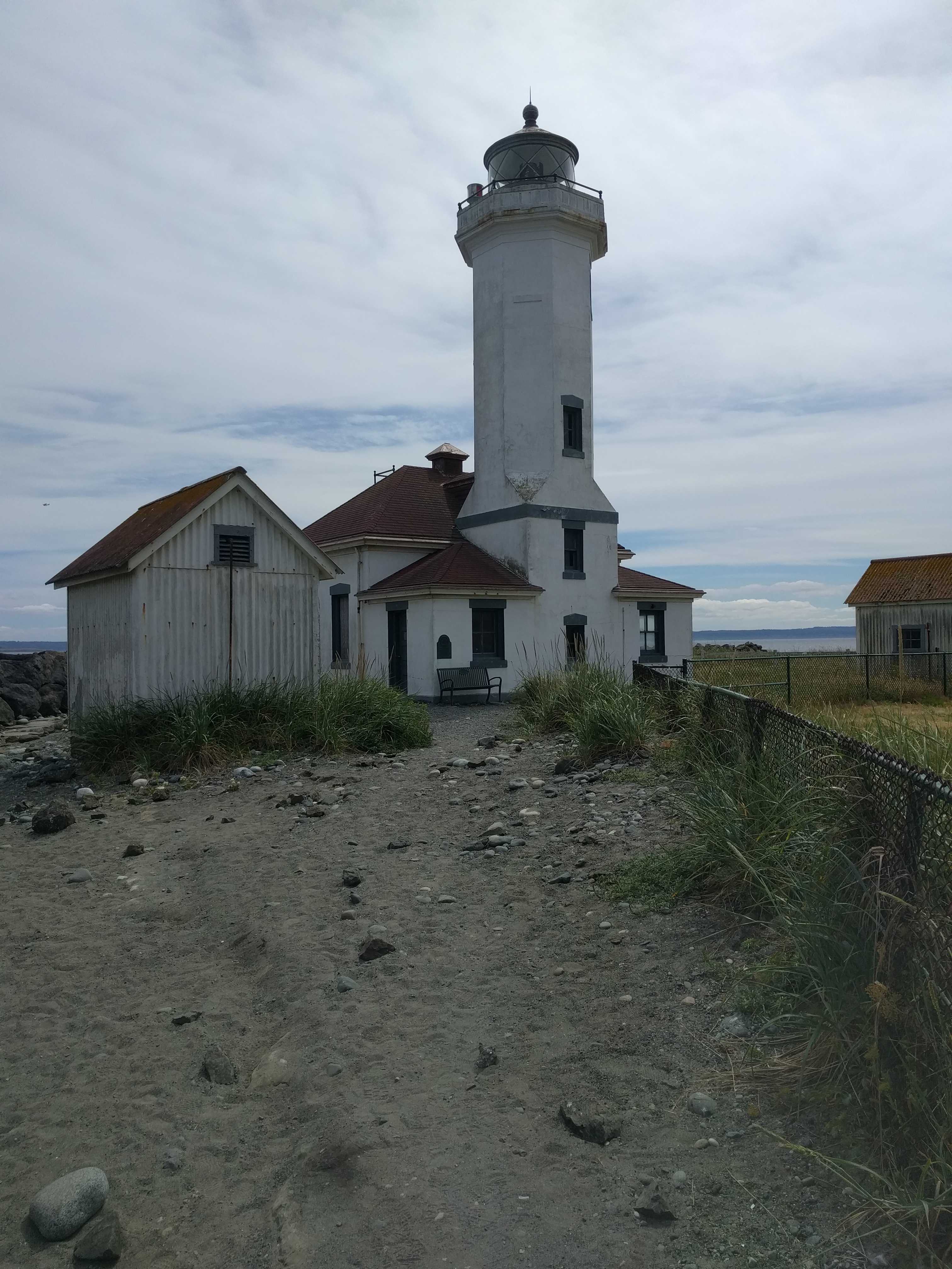
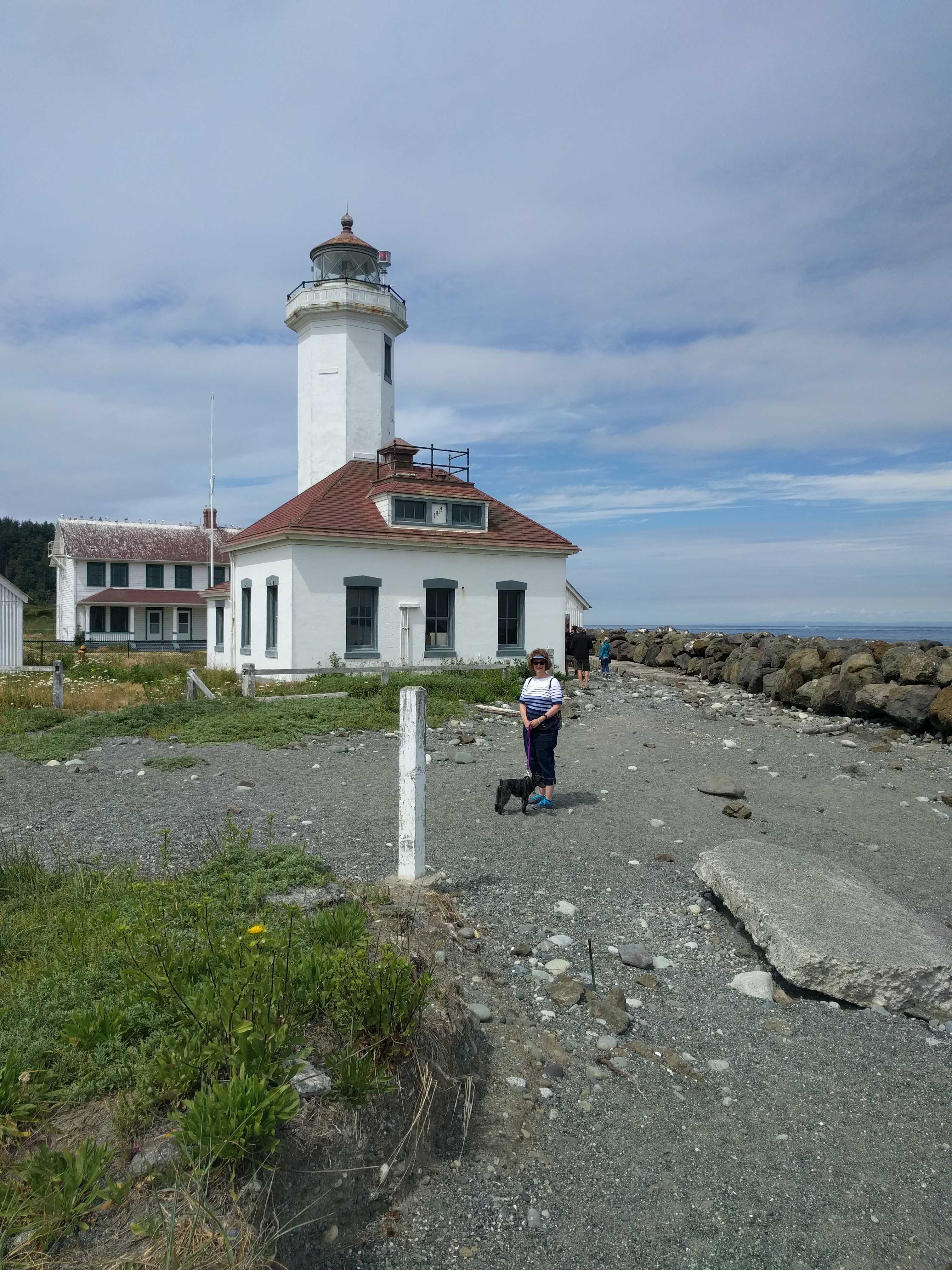
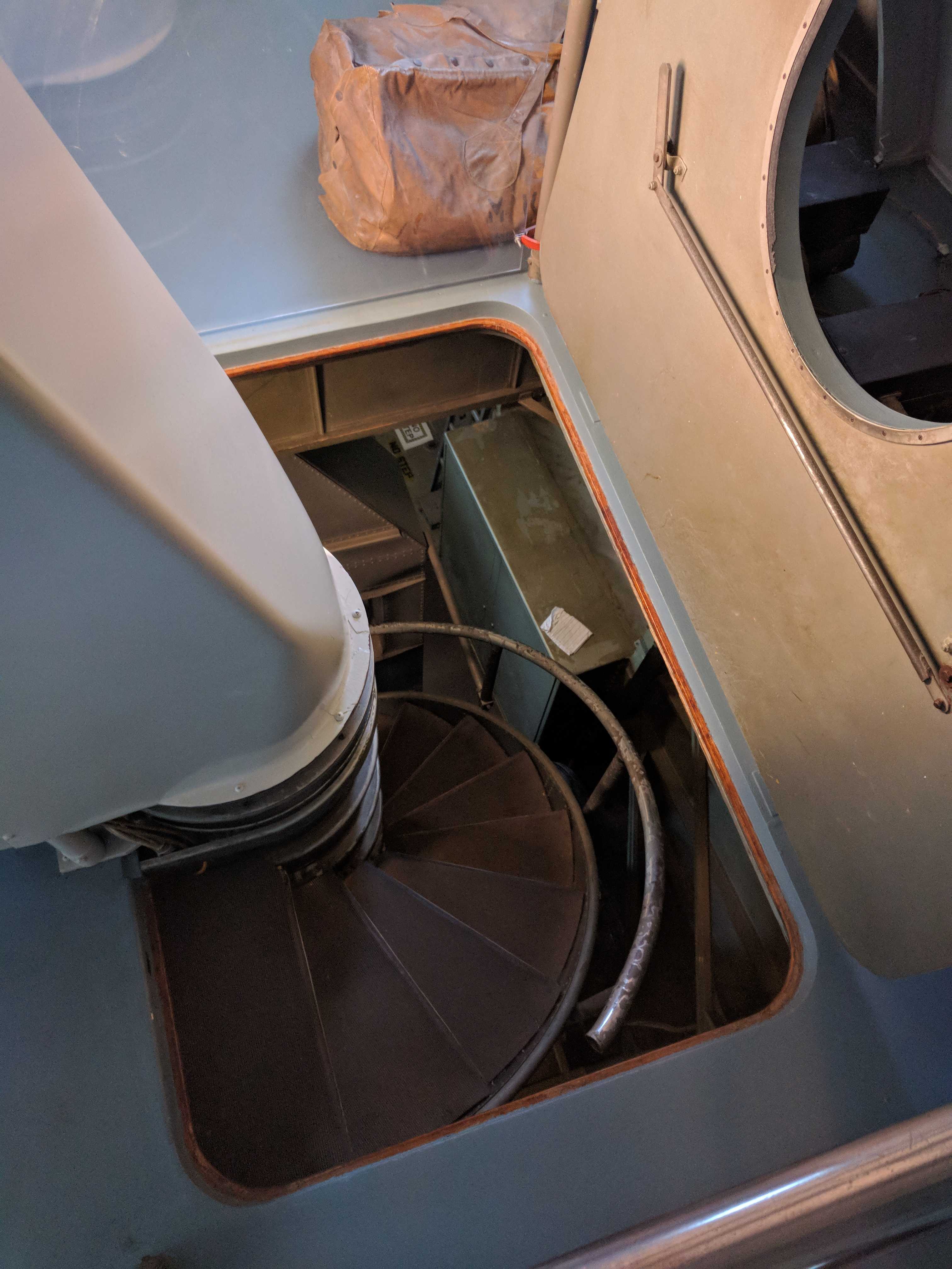
 We had our pics taken, and we headed back down the smallest spiral staircase I had ever seen, although it was close to one in a small lighthouse we visited last
  year that wanted to take my head off. I think it was one near Bar Harbor. Guess I will need to go back and re-read that one.
I left the best part of the museum to the last. They encouraged you to touch everything in the museum. There were several exhibits that you could go inside. That is something I never experienced in any other museum before!
We headed back to the coach, but it did seem like a much longer walk back than it did in the morning. 🙂
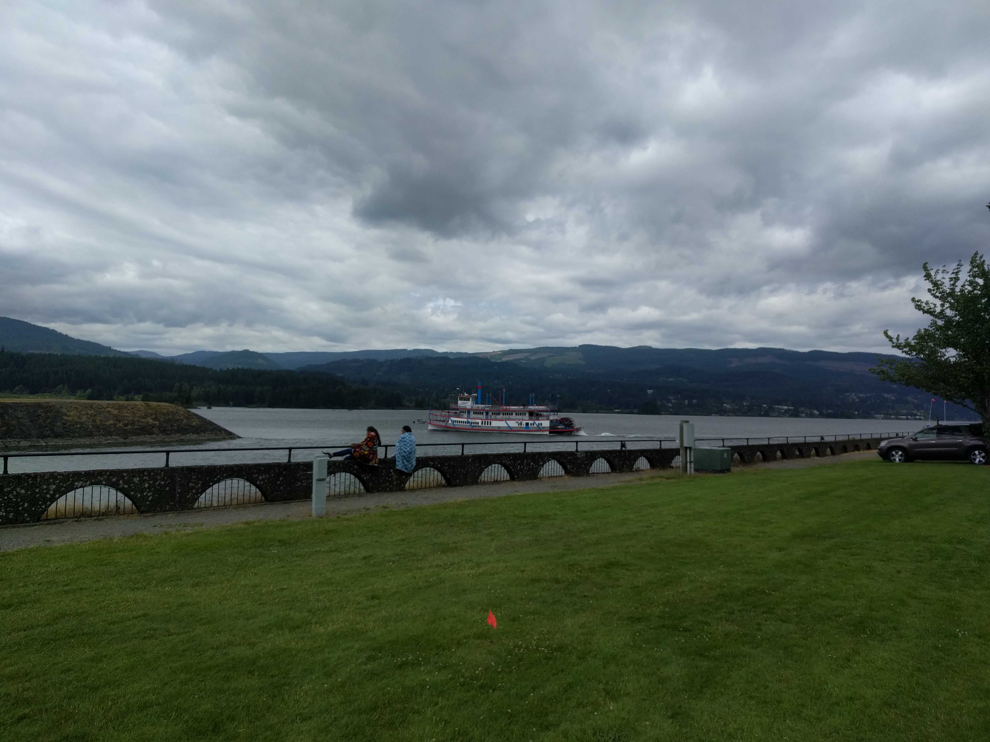
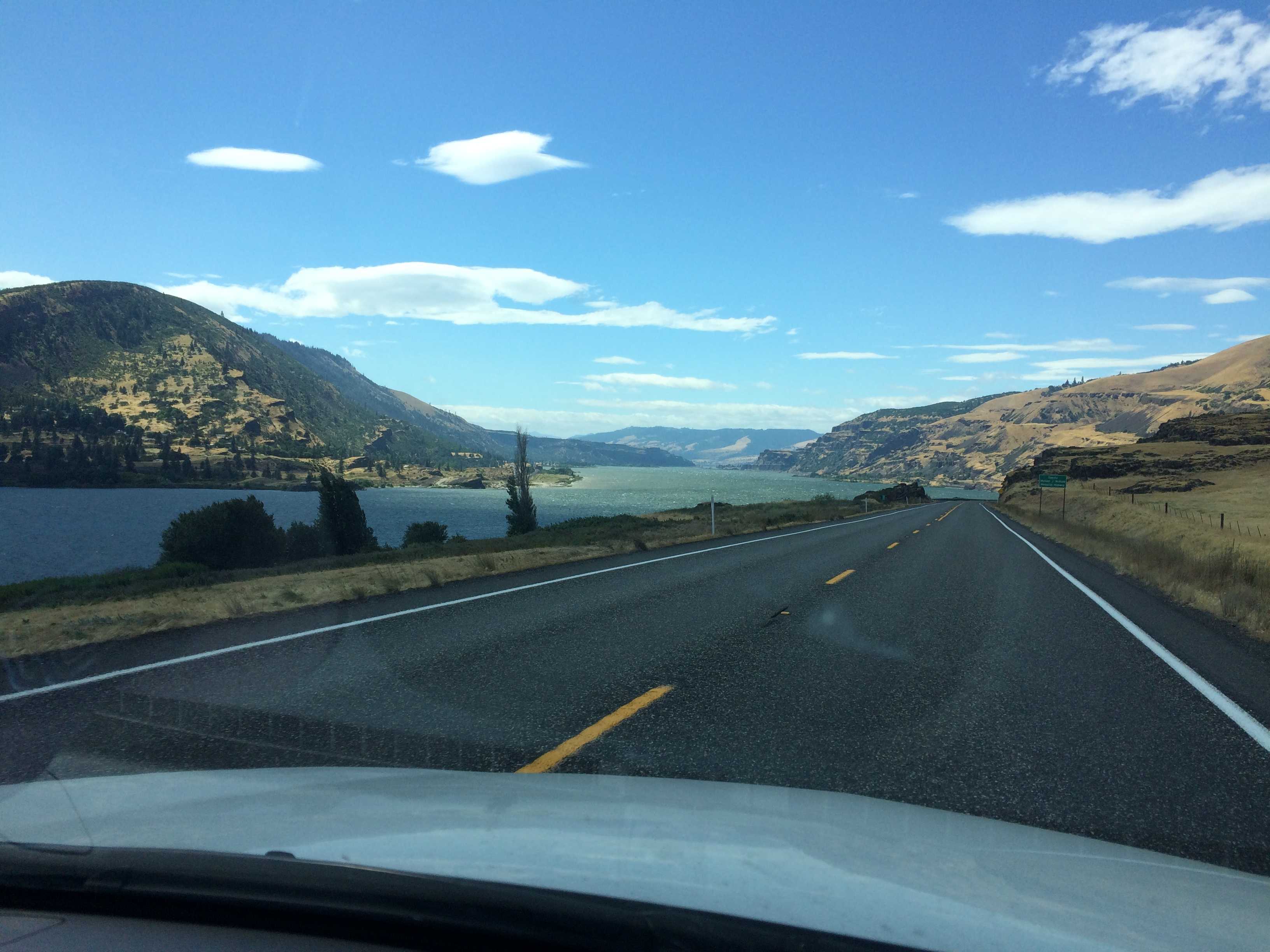
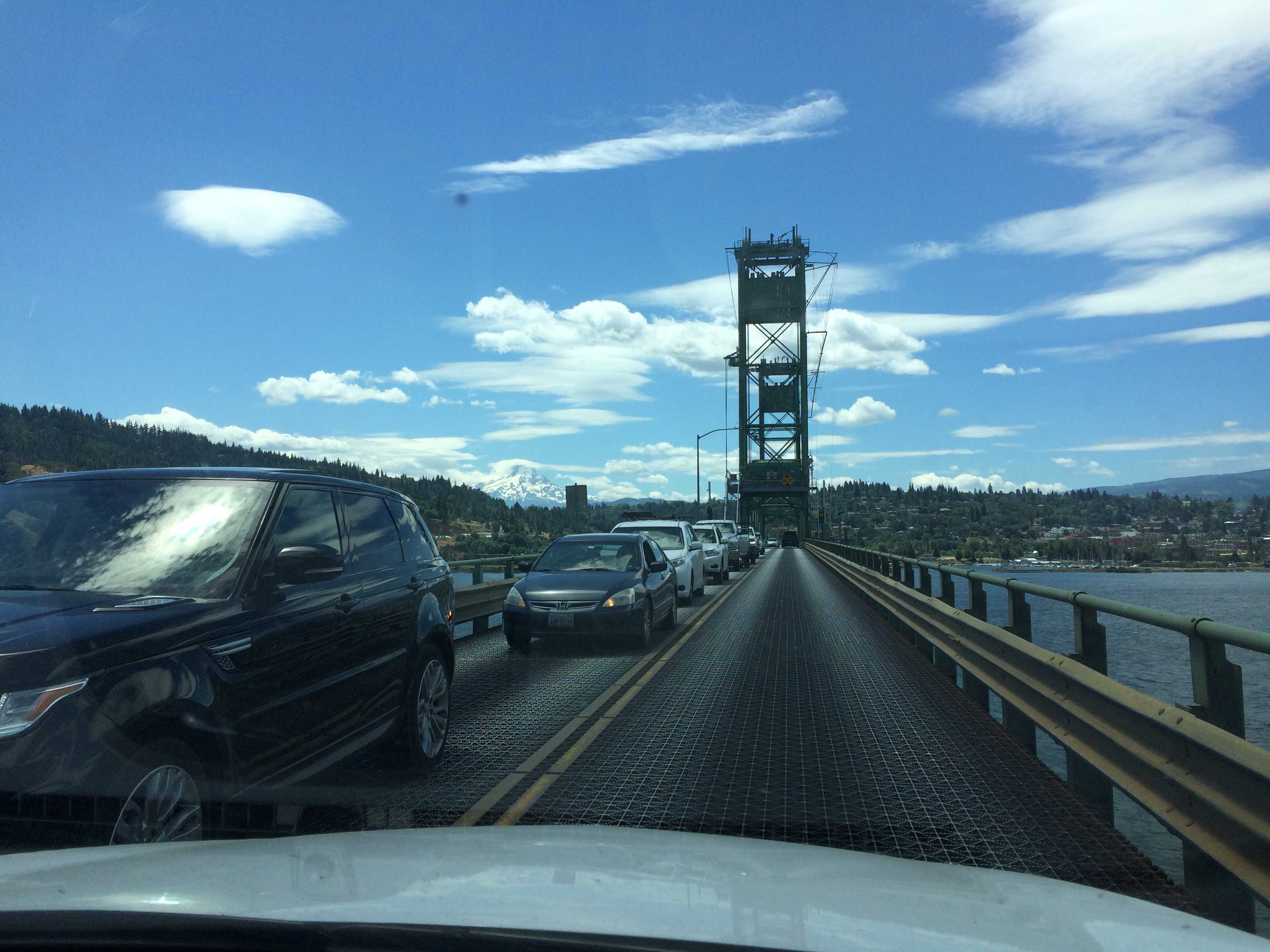
We headed down the road to explore the Columbia River Gorge the next morning.

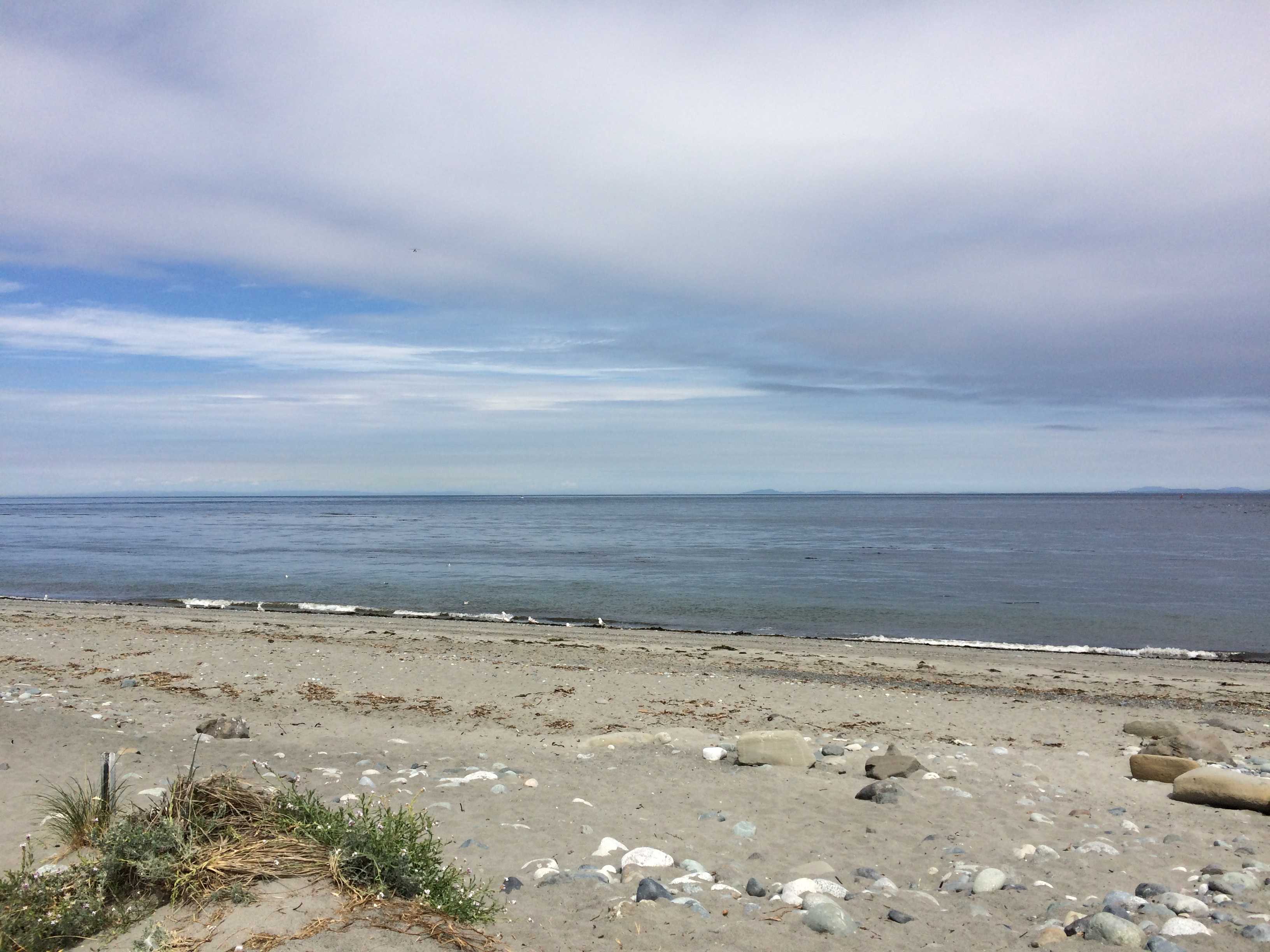
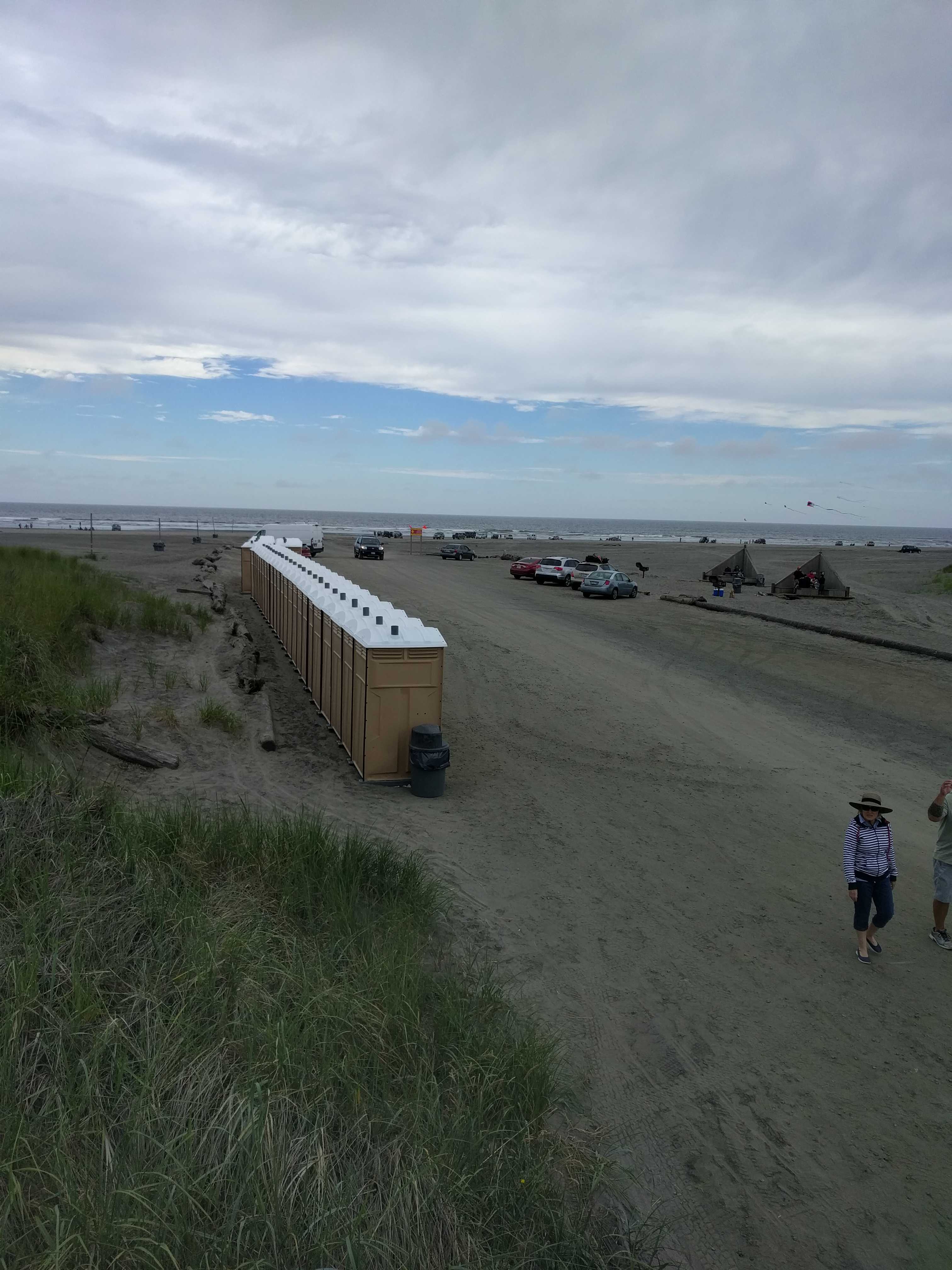
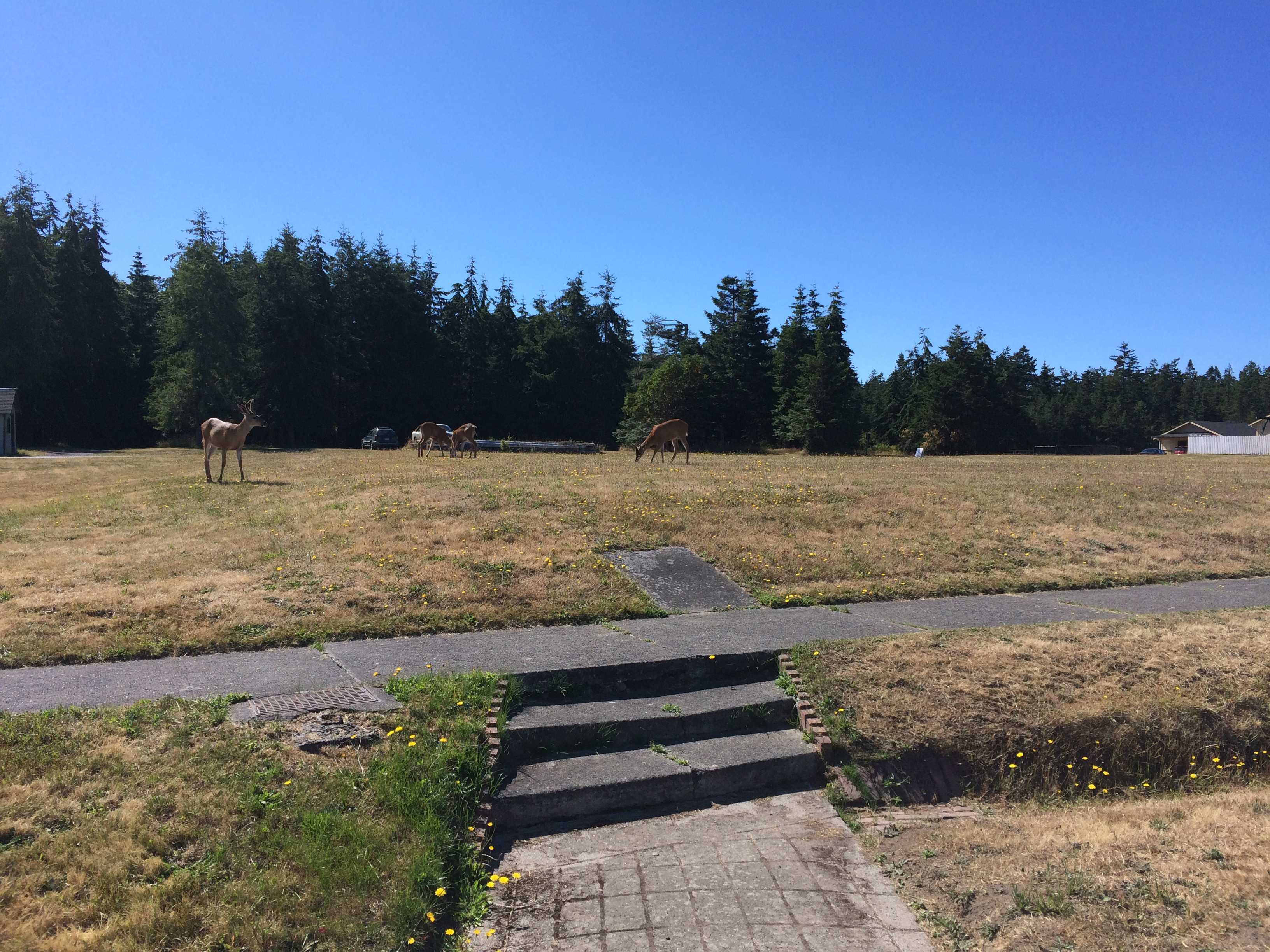 First thing we saw upon entering the park were deer eating their way across a small field. Then we found a great little beach with a large quantity of driftwood.
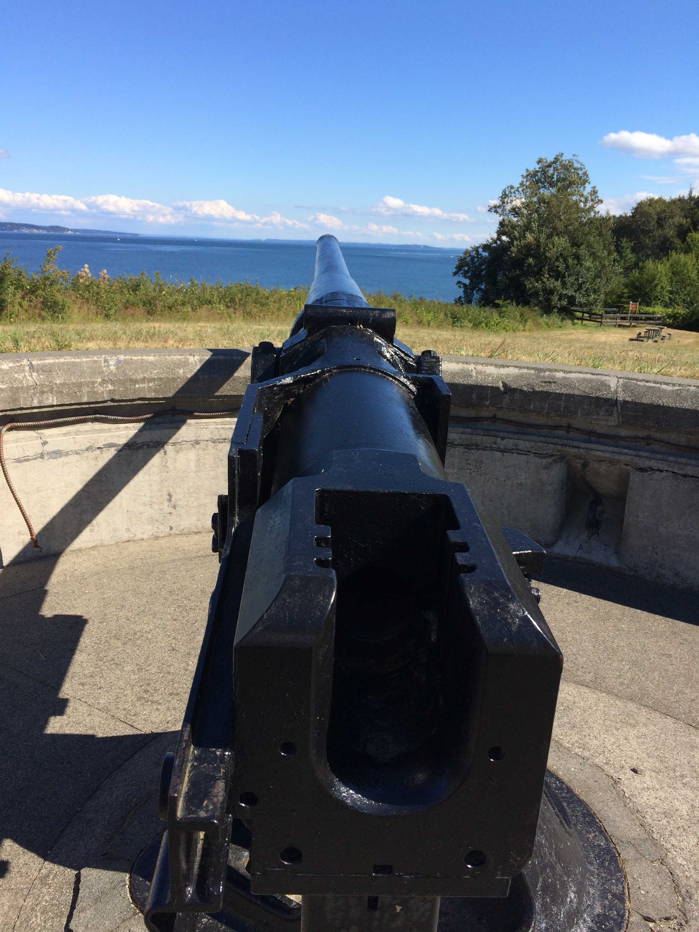
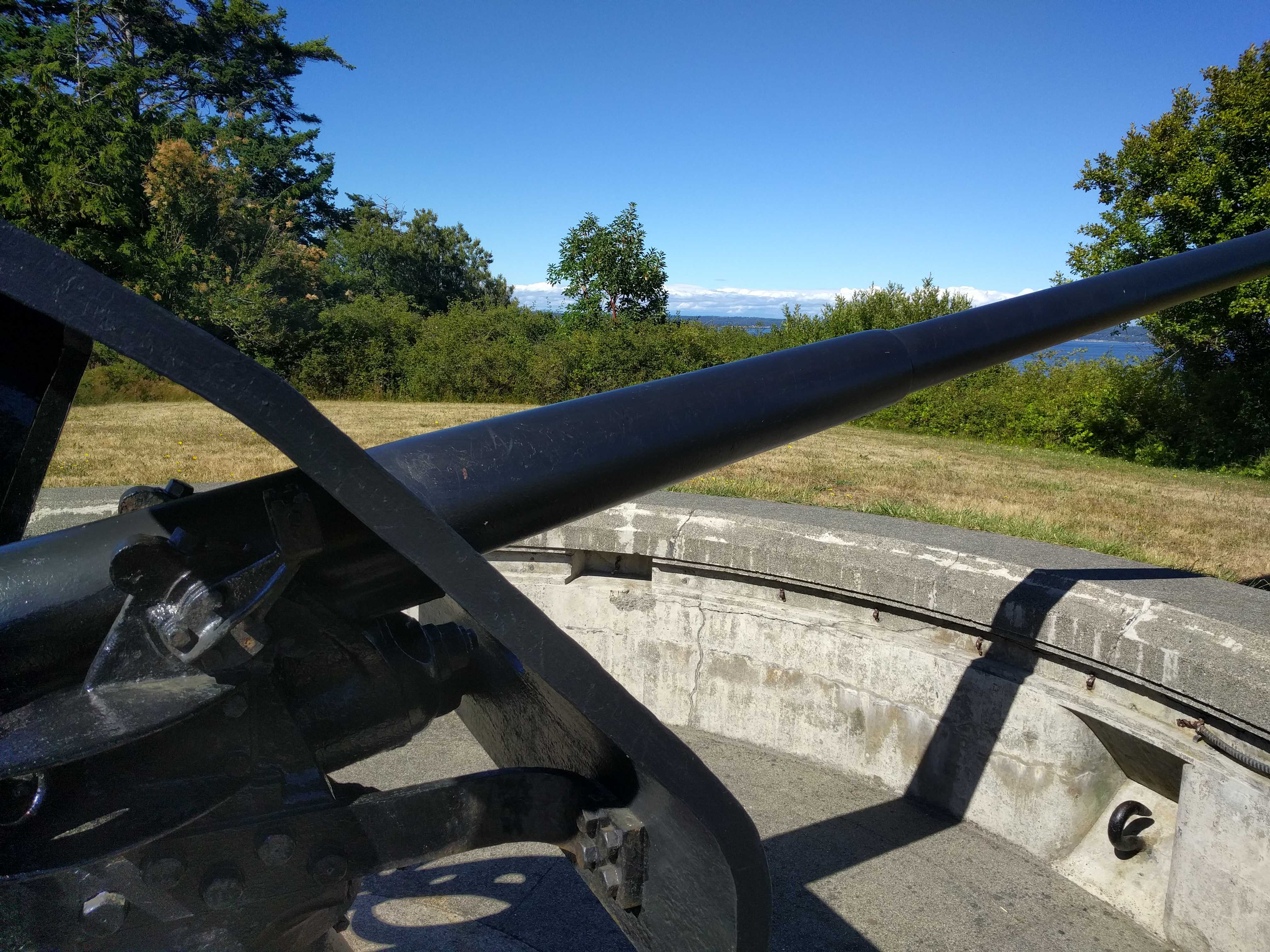
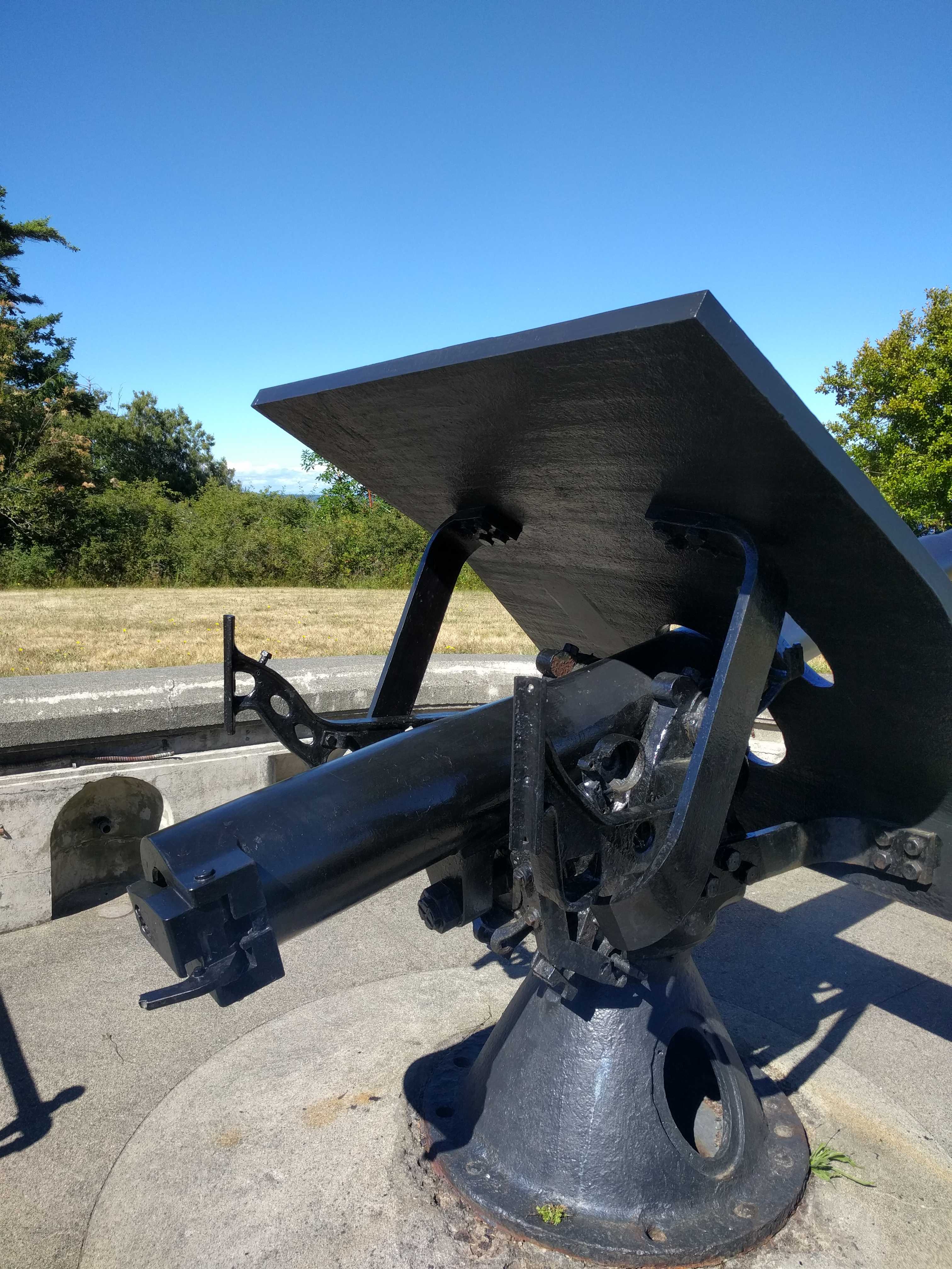
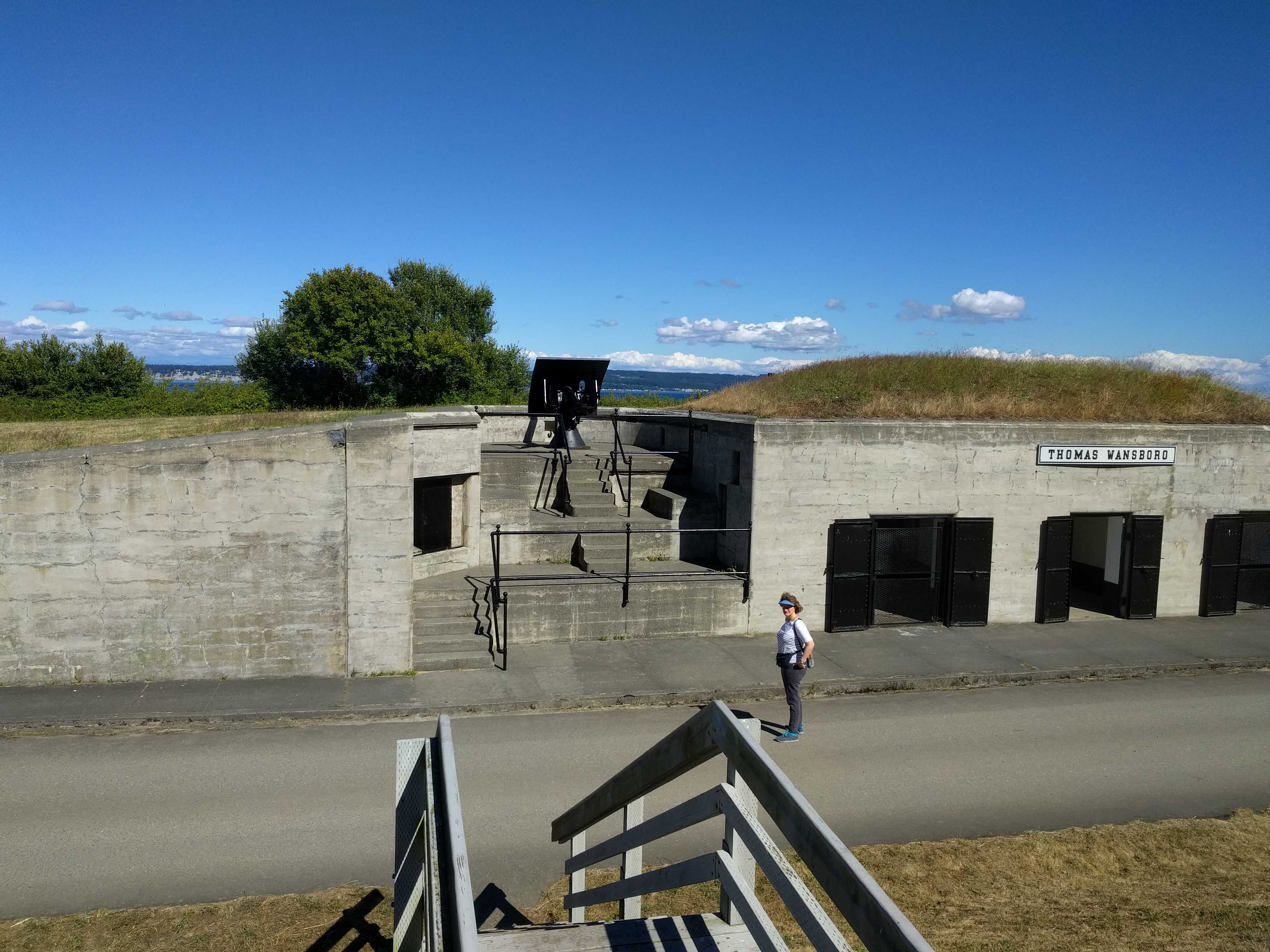
 one of the old battery’s. This has been the first battery that actually had artillery pieces on their mounts. They were small 3″ guns. There were quite a few other battery’s on that point, but none of the others had their guns mounted.