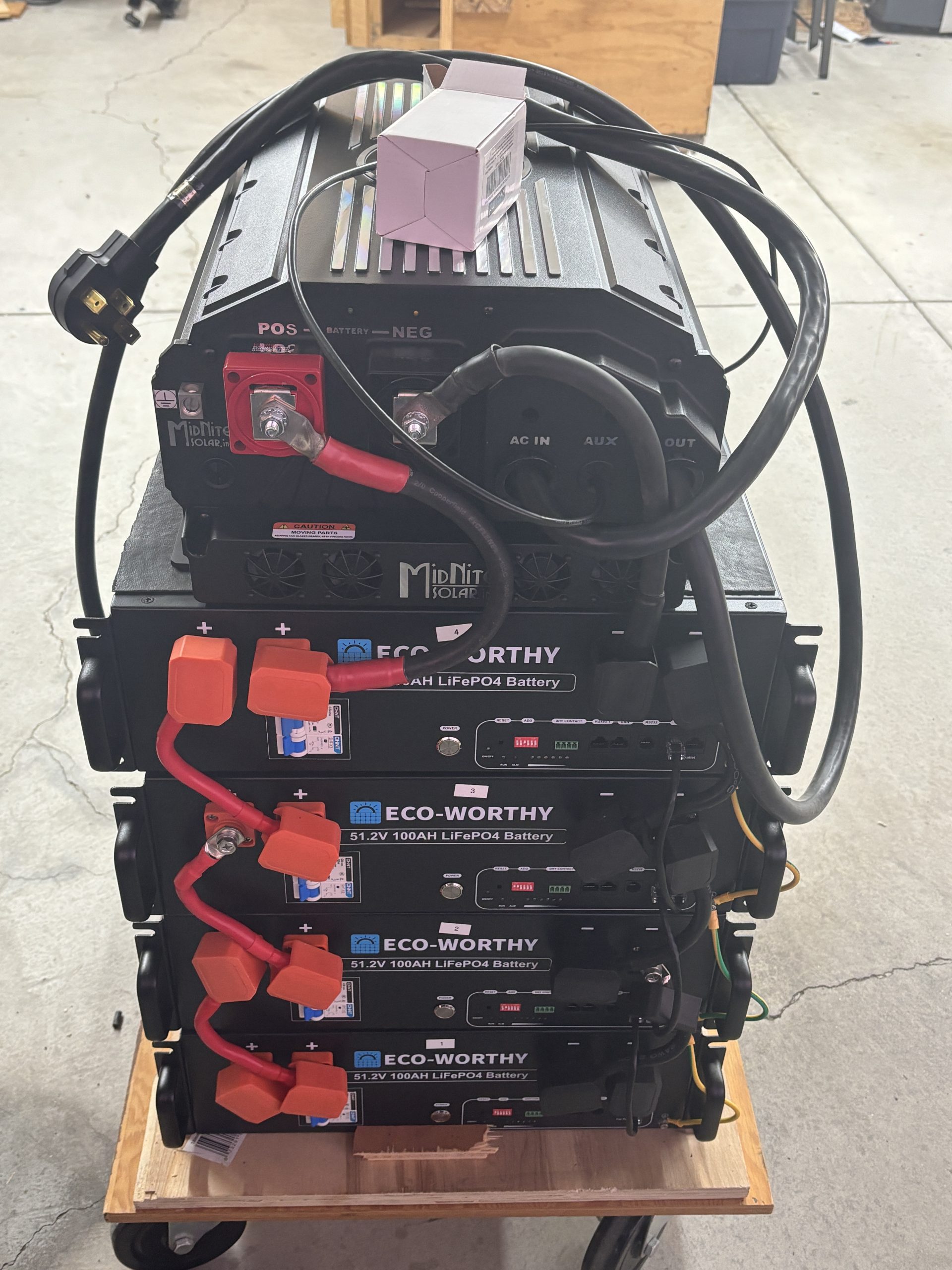
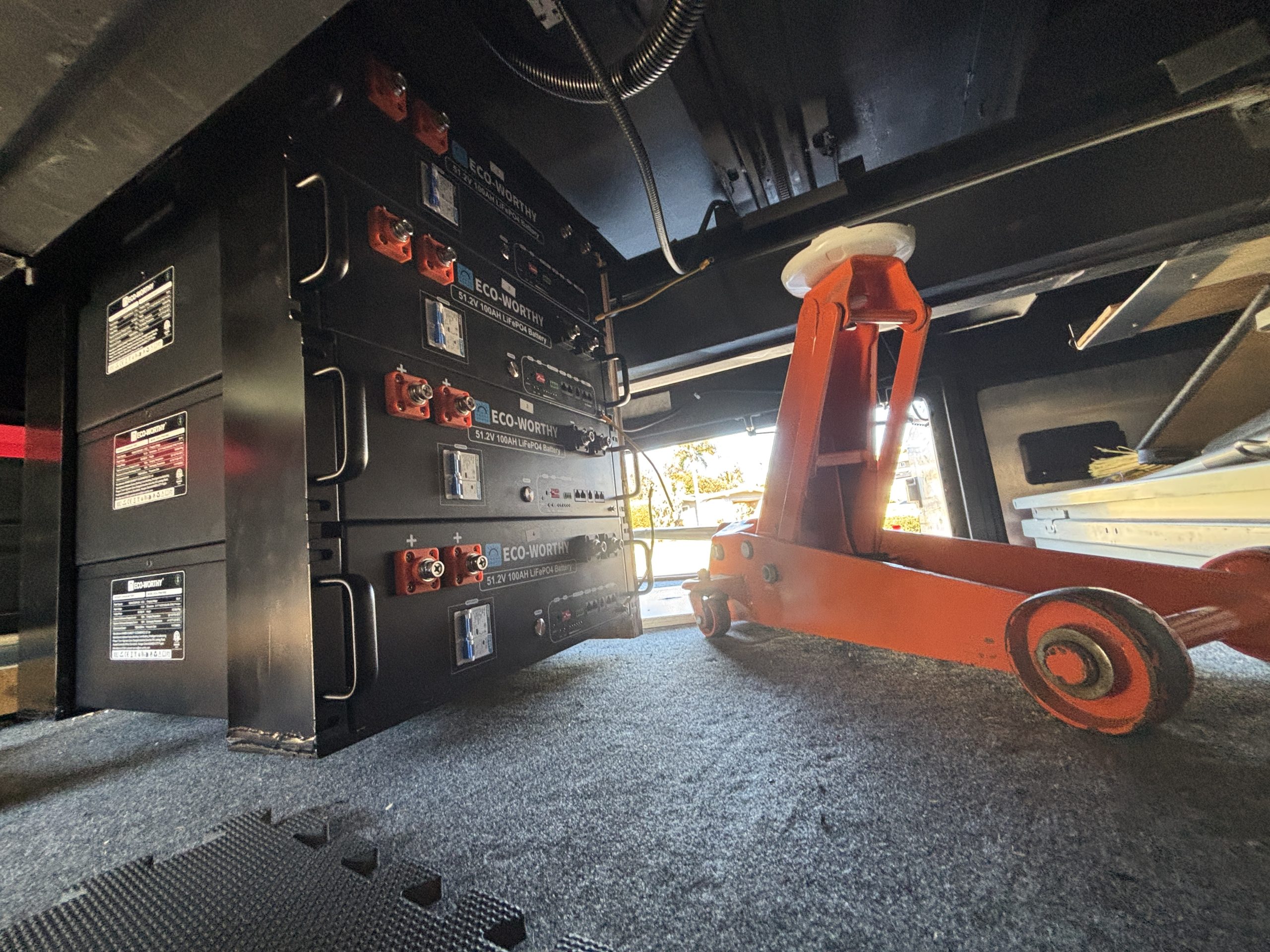
Completed my Tiffin Bus conversion to 20Kwh 48v rack mount batteries and 7000Kw Inverter.
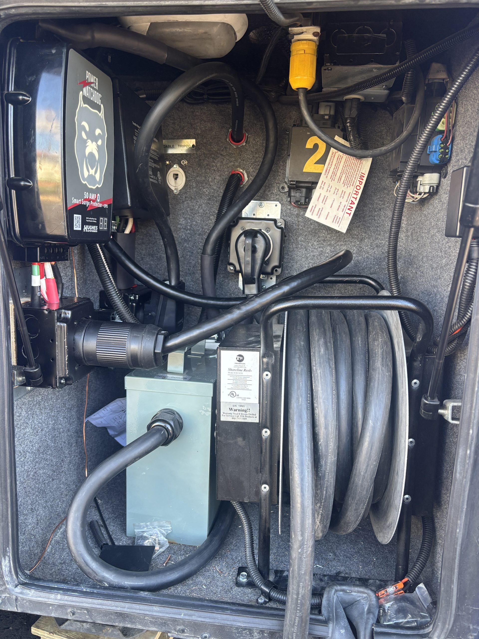
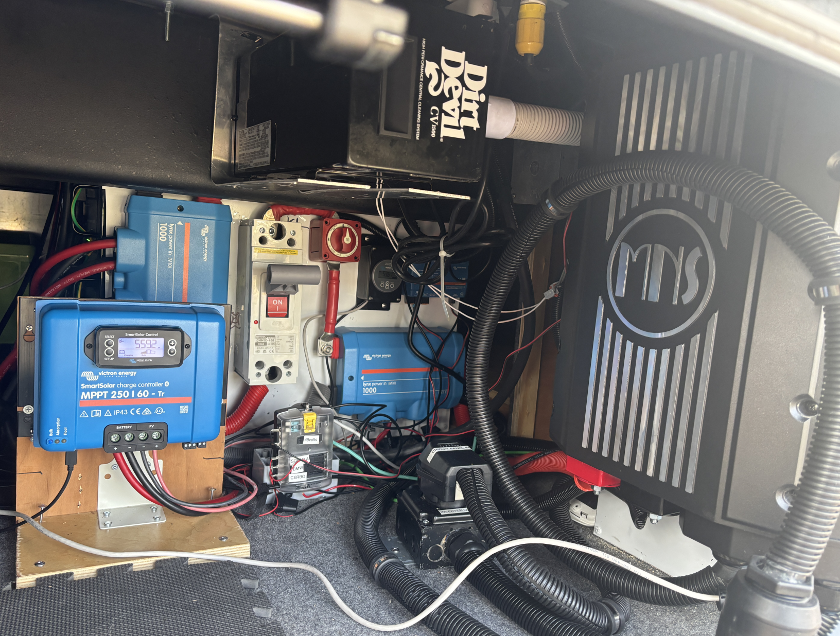 It took a couple months of work but now all 120v systems and plugs are powered by a 7Kw Midnite Rosie Inverter. And so far my testing has made me a Very Happy camper! As the biggest test of the Inverter and 20Kwh of rack mounted batteries I was able to run both rooftop Air Conditioners for 4 hours and only use 1/2 their capacity (50% SOC).
Grid support also allowed me to run one (and probably both) connected to a 15 amp 120v Shore Power connection. (heading to Canada for this summer and often it can be Hot and they can be limited to 30 amp SP and sometimes 15 amp (not even 20) So we will be able to stay cool.
Having everything enabled to be turned on no matter if hooked up or not and not having the run the Genny will make the DW Very happy also. I remember many times kicking myself for not changing the wiring on the Central Vac to work on the old 12v Magnum. And weirdly enough, it uses very little power.
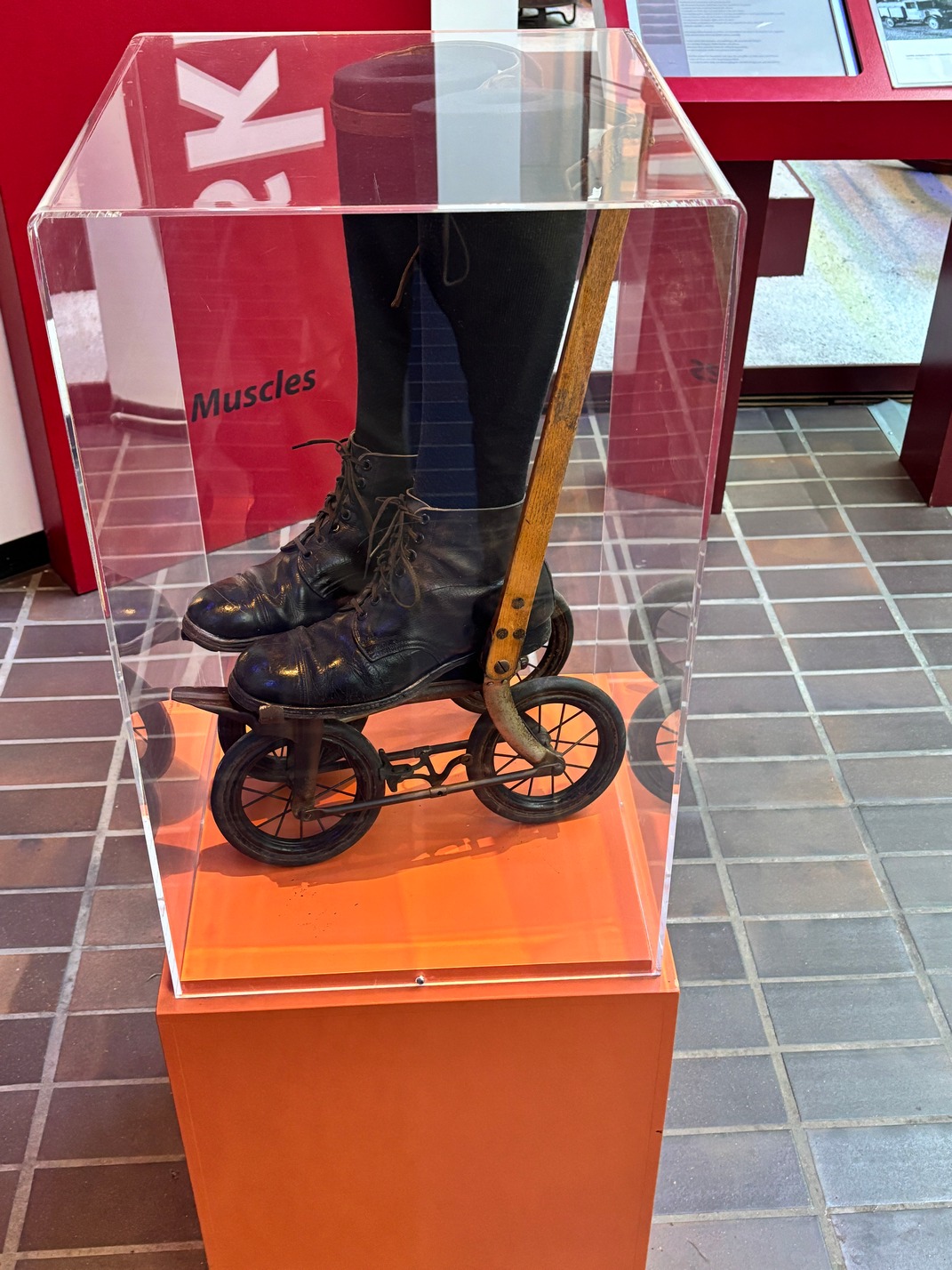
I took a pic of the setup but when I was about to upload it I realized I had put the Inverter Cover back on upside down so it looks too dumb to add. I do need to get back into the inverter so I can connect another cable to the CAN bus so it will not be long till its right side up again.
The Big Rosie 7048M (mobile version) is very light weight and was silent when running both the AC’s for 4 hours the other afternoon. And the unit was cool to the touch, nothing like my old MS2818 that blew so much heat out just running 300 watts of things I often left the Inverter Bay door open to keep it below 140 degrees in there. Maybe that was due to inverting 12v to 120 is harder than 48v to 120v, not sure.
I cannot believe I was considering installing two Victron Quattro’s.. The Midnite cost the same as two 5kw Quattro’s, but is a simpler install and way smaller than a single Quattro.
Also the Midnite Solar Rosie does 240v Split Phase natively. So, soon I can get that Wolf Induction cook-top the DW wants me to install. From what I can tell even the New Tiffin’s require you to have a 50 amp Shore Connection or the Genny running, and my 7500w genny doesn’t produce 240v, just 120v twice same phase. I would be able to run it on 15 amp SP or no SP at all now.
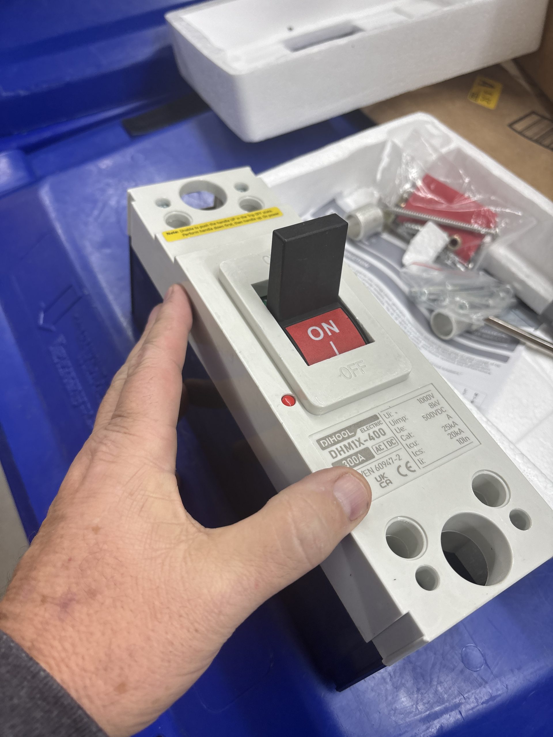
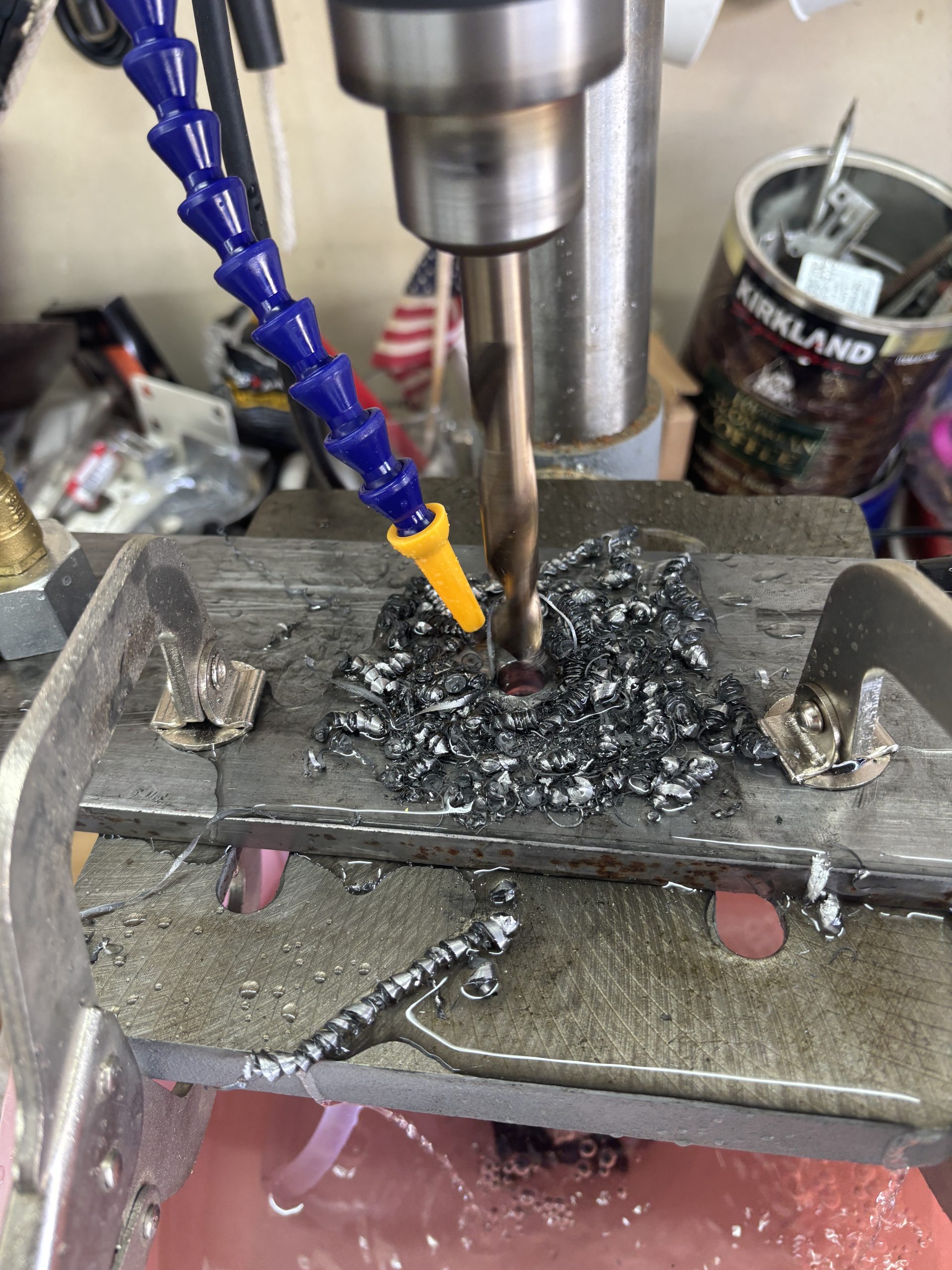
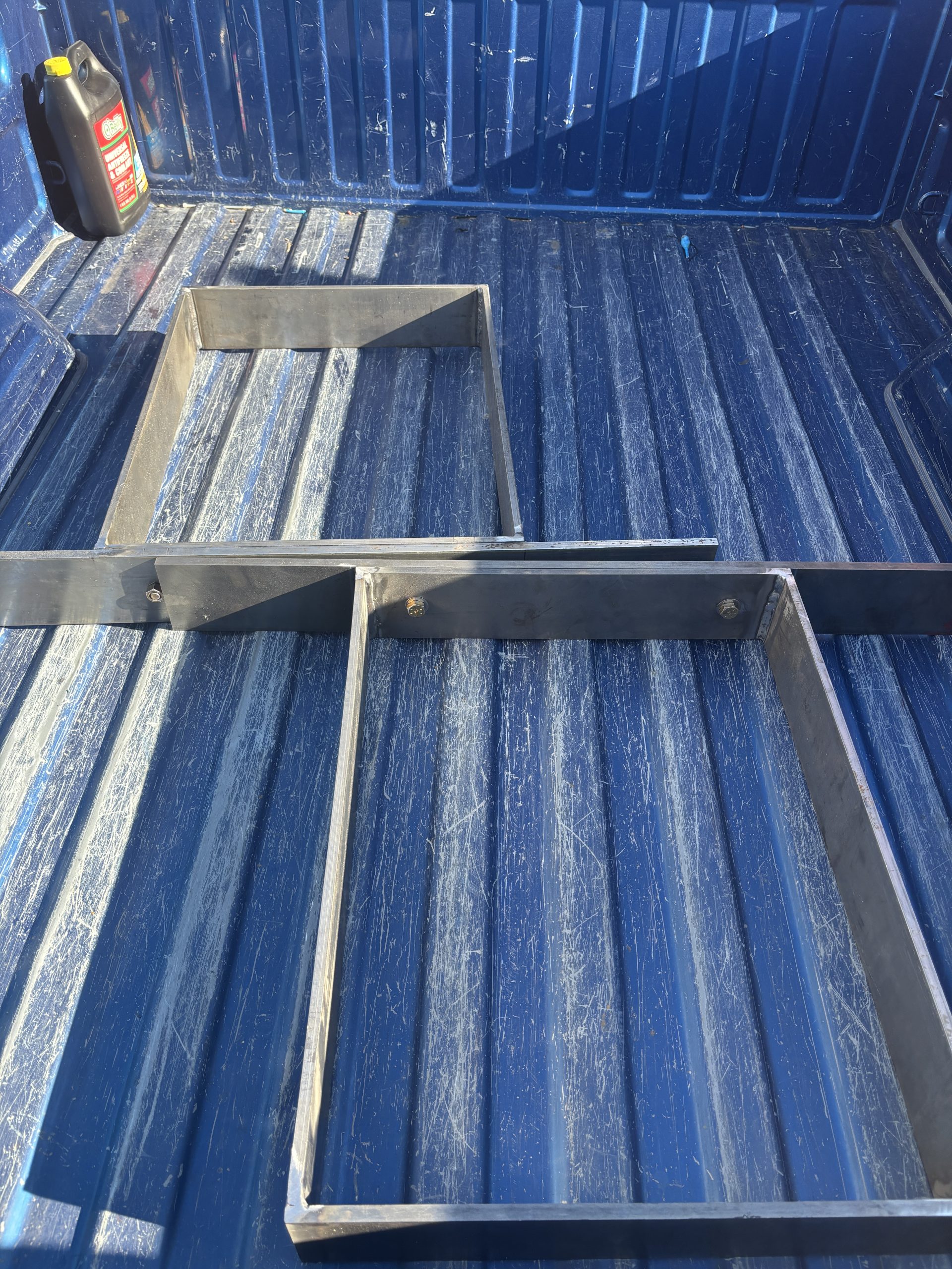
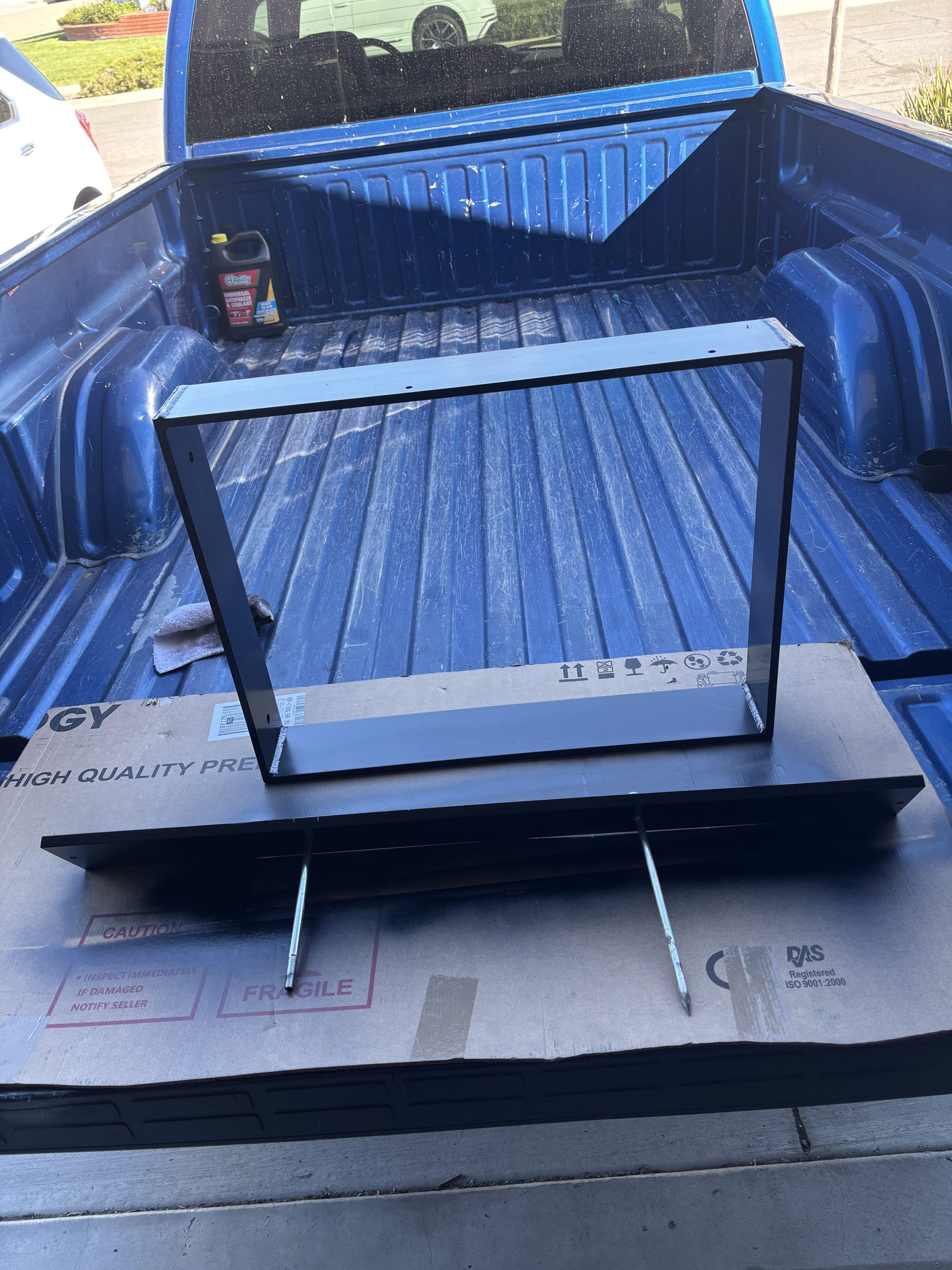
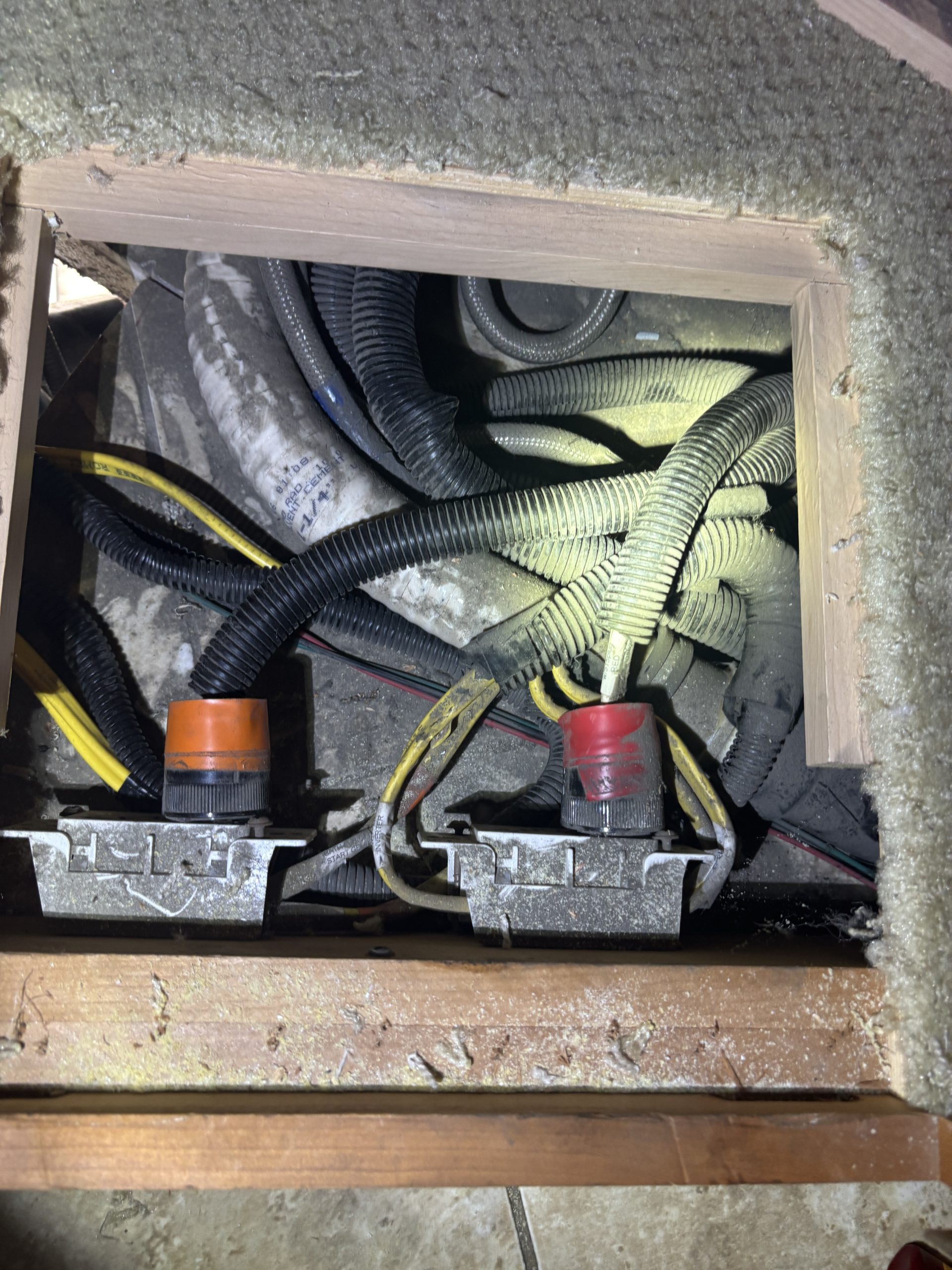
I think the hardest part of the whole build was swapping out the Breakers under the fridge so I could terminate those two 20 amp circuits that came from the PS rear inverter bay into the Main circuit panel. One new 20 Amp breaker replaced the 30 amp that had gone to the Inverter as its source of power and then swapping out another 15 Amp full size breaker for the W/D for a Tandem breaker with a 15 and 20 amp on it.
At the moment I only have 1600 watts of solar on the roof so next winter that may have to change. Will know more at the end of the summer.
Here is a pic of the batteries hanging from the Freighliner Chassis in my bus, and the floor jack I used to get them stacked up. That top one was a bit precarious install as they weigh ~100 each.
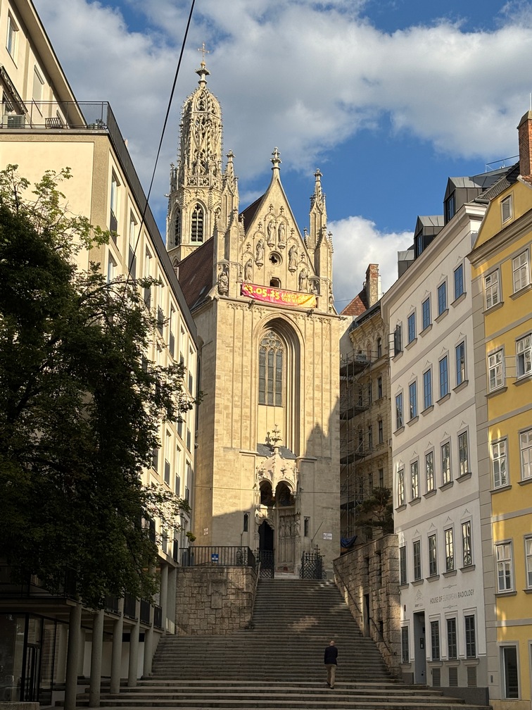
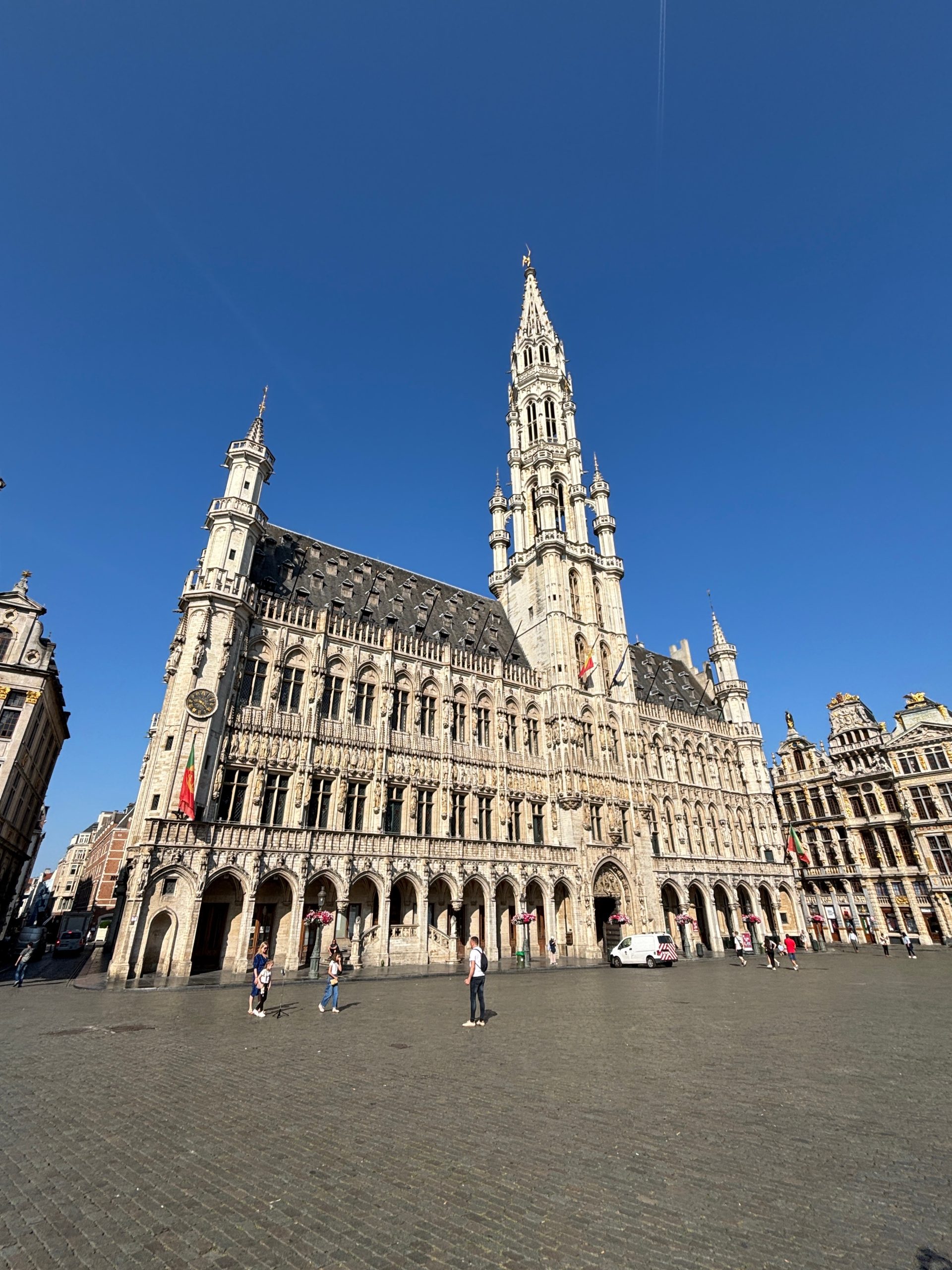
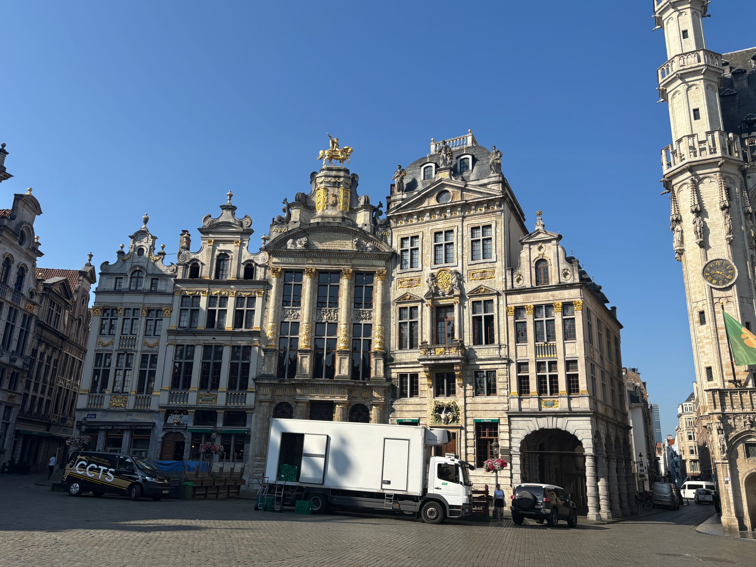
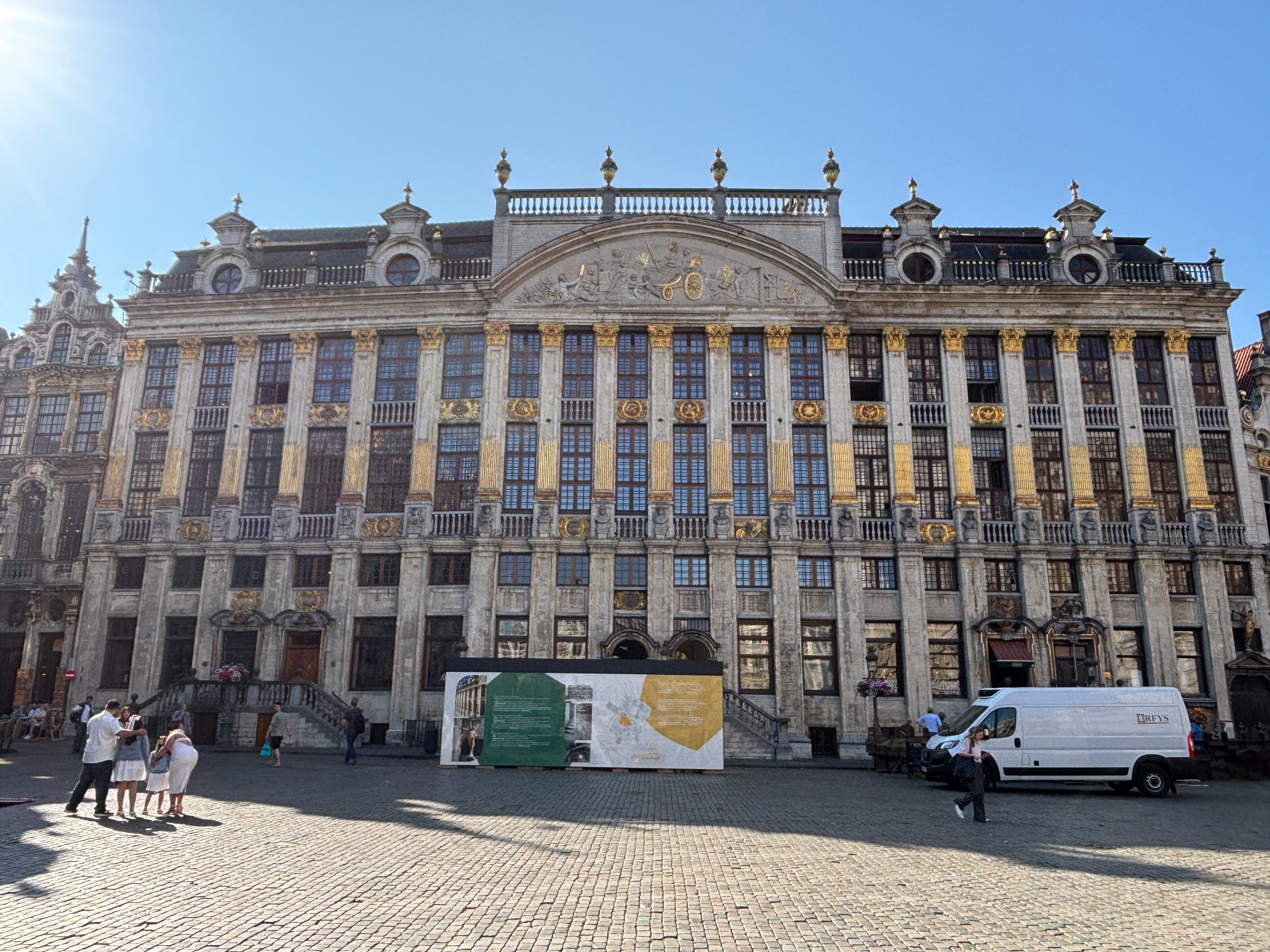
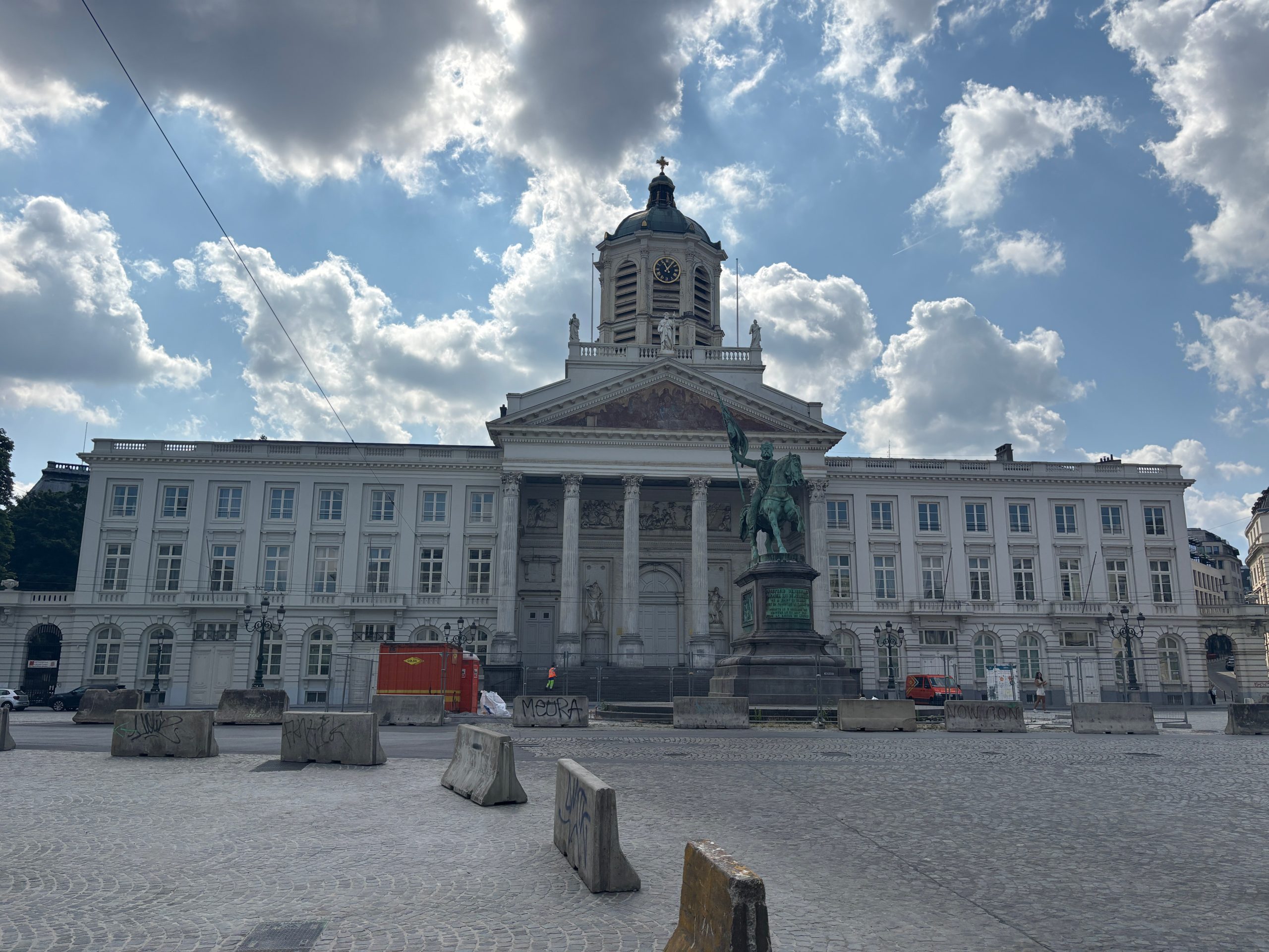
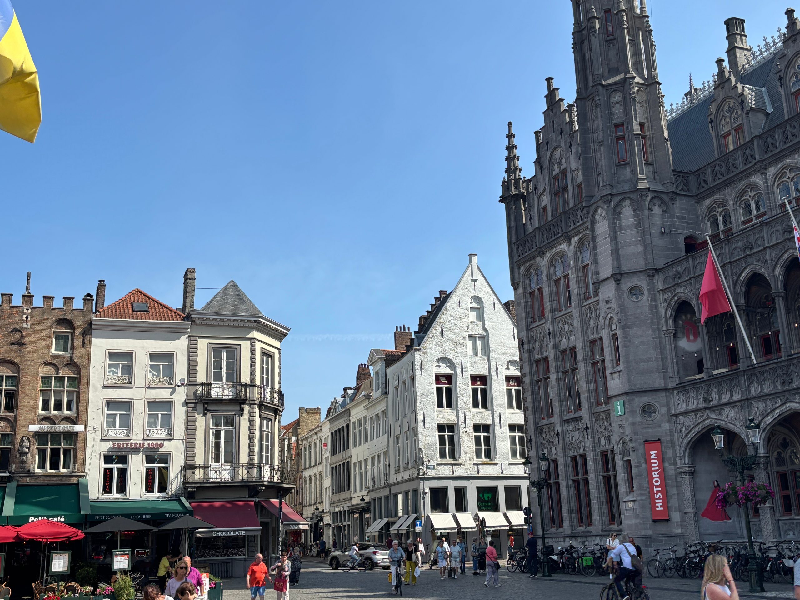
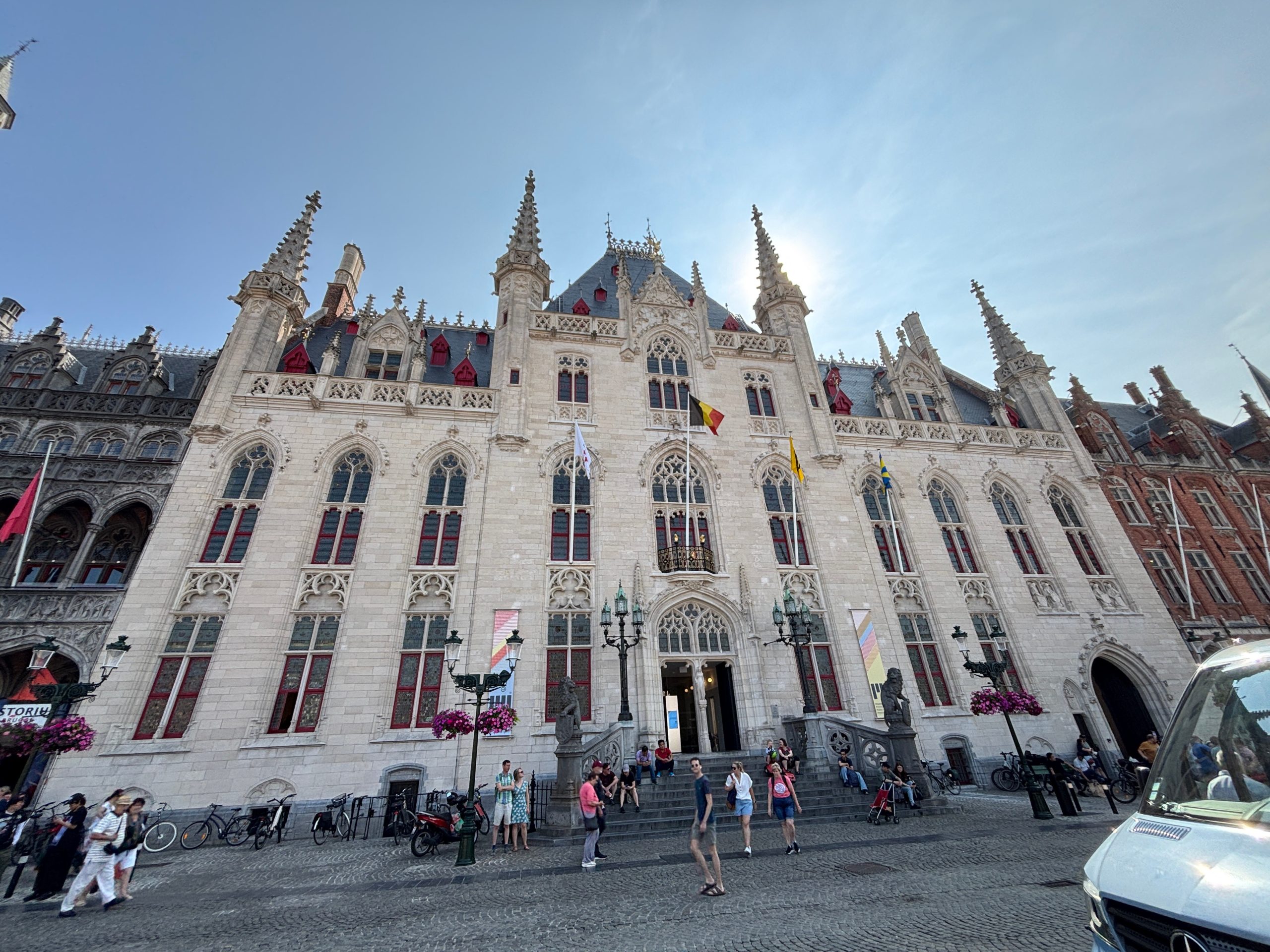
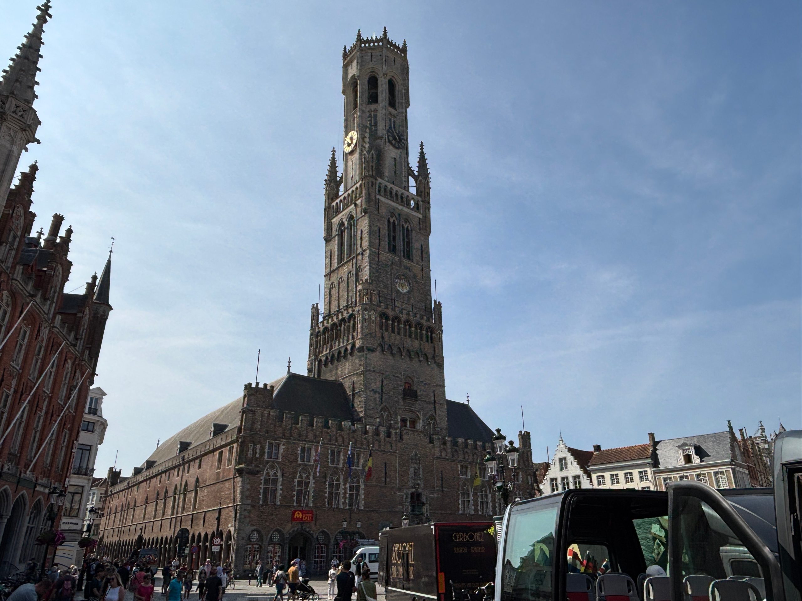
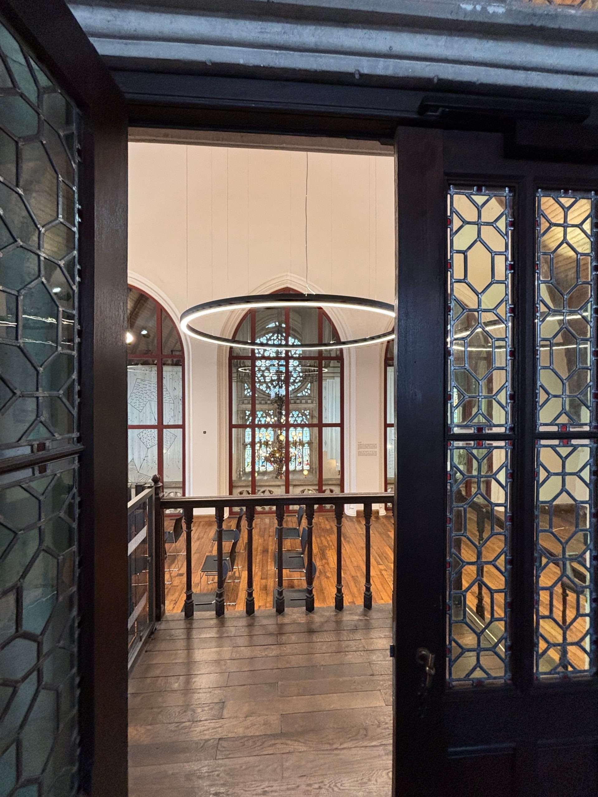
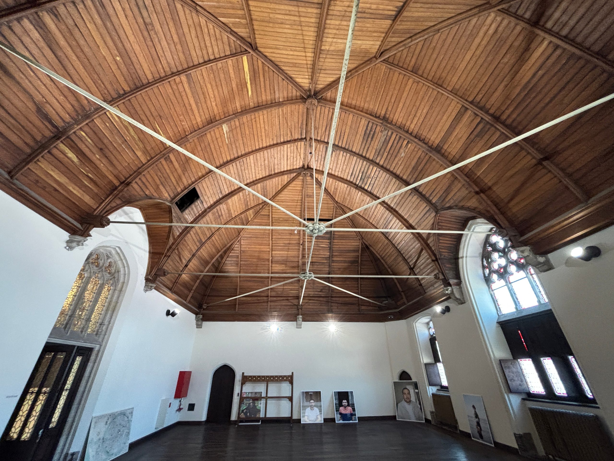
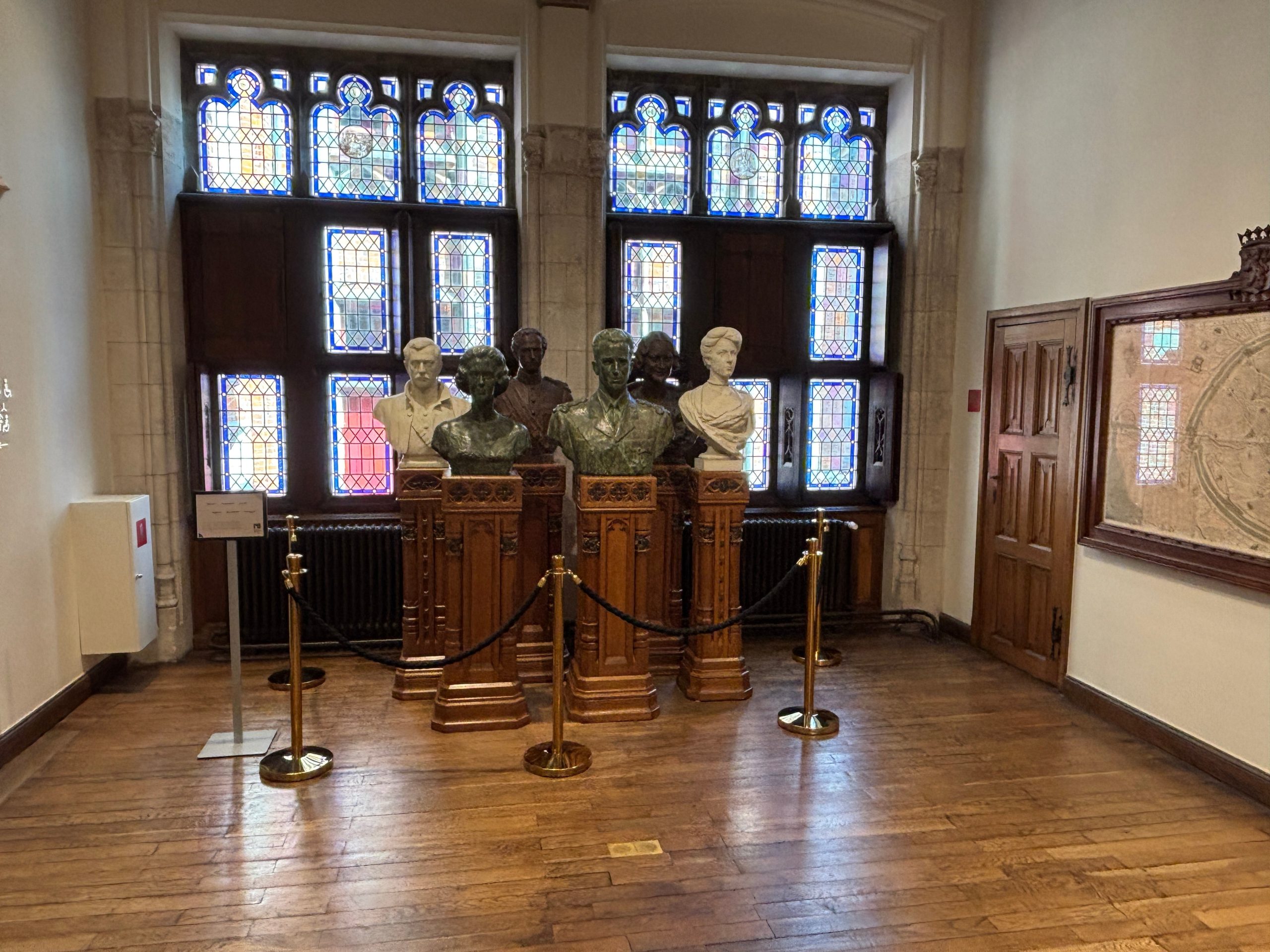
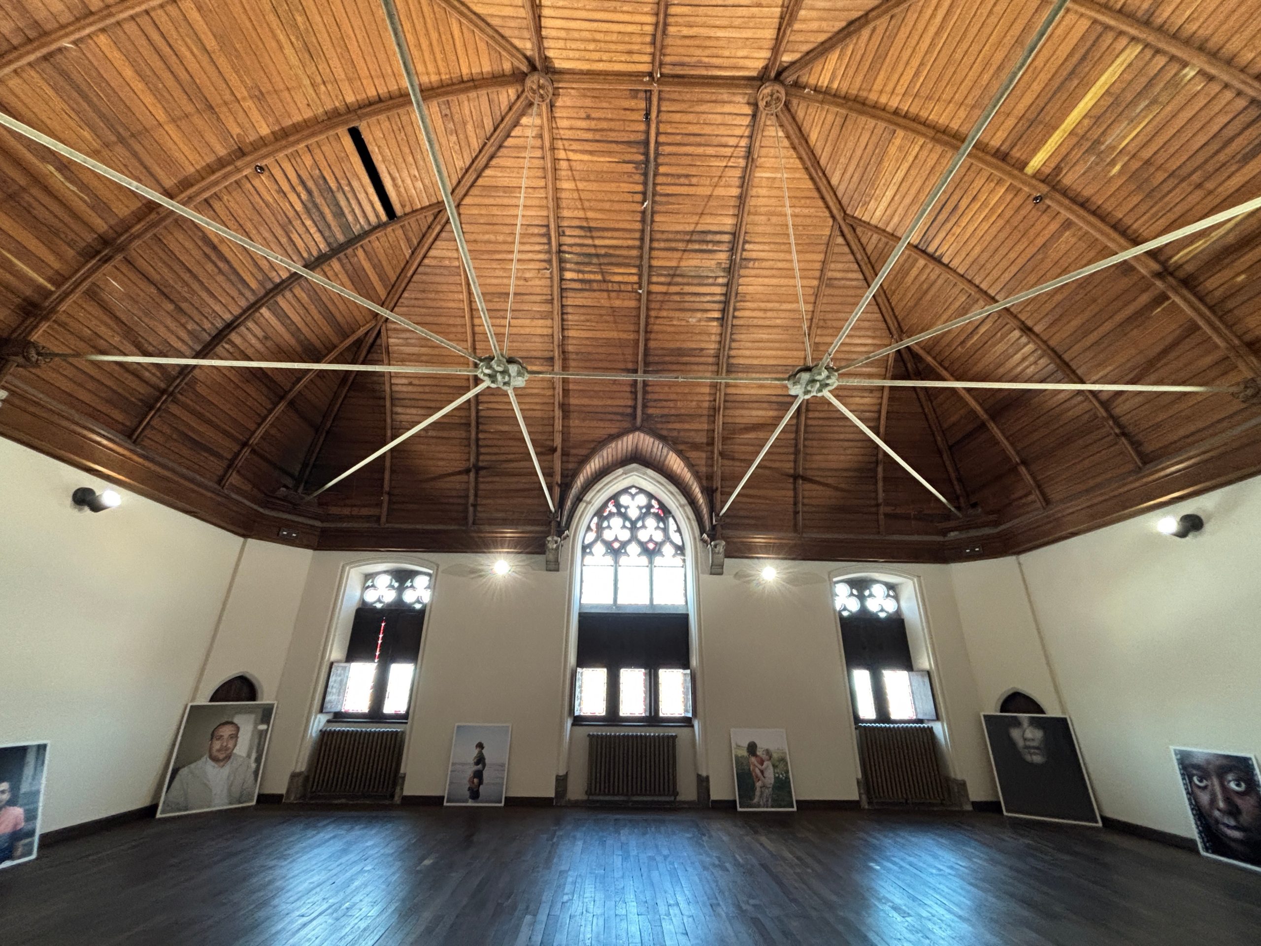
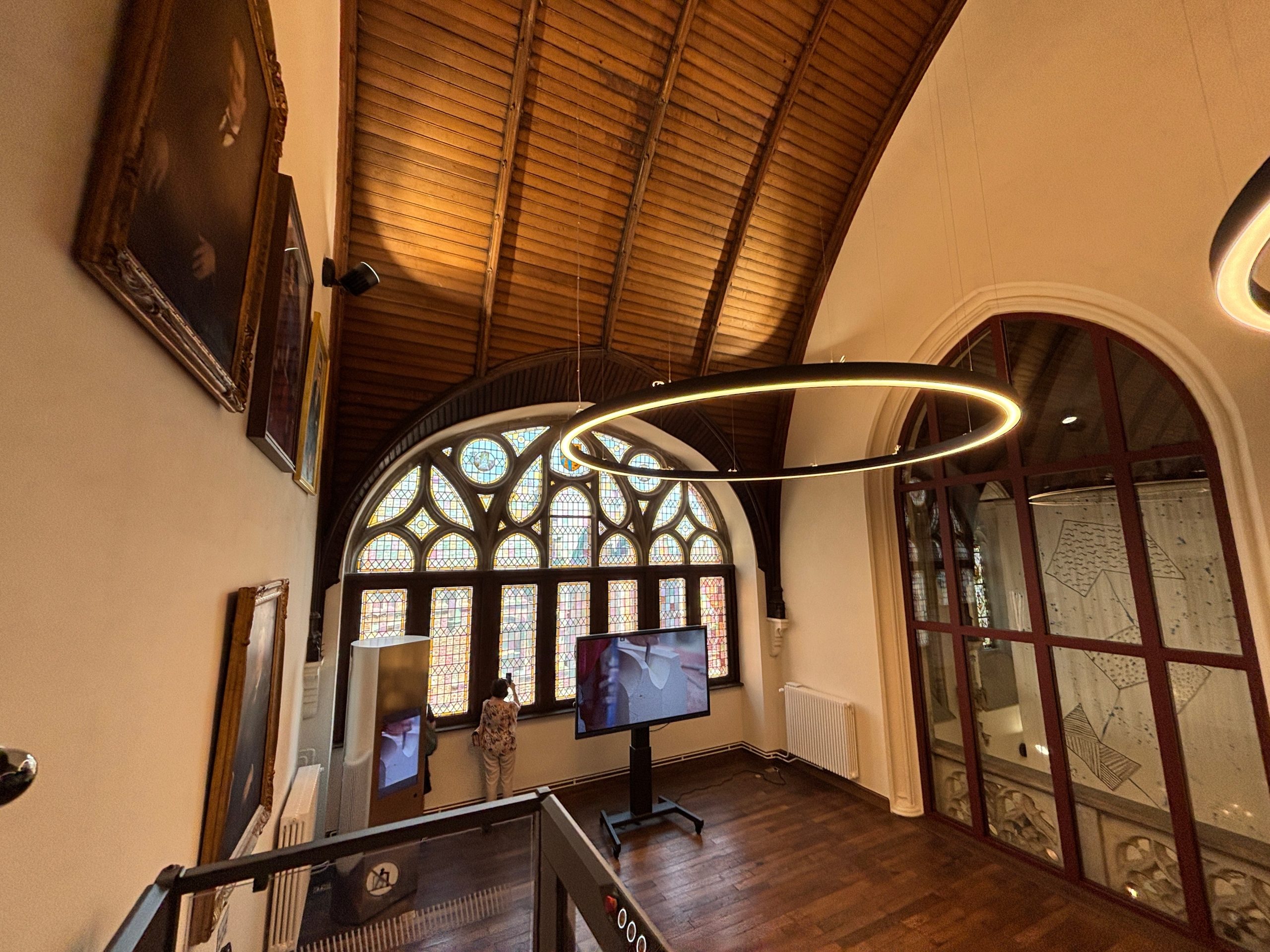
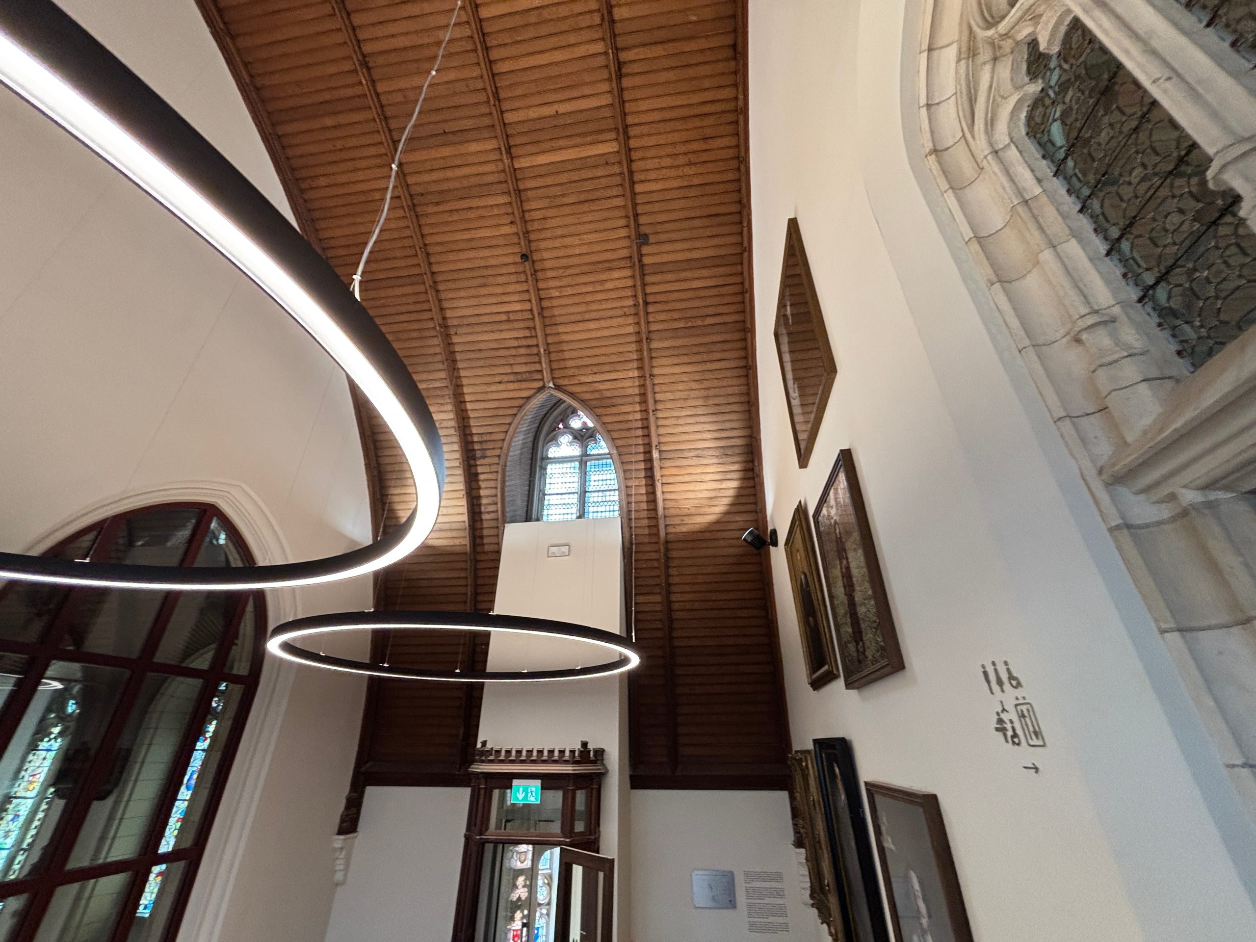
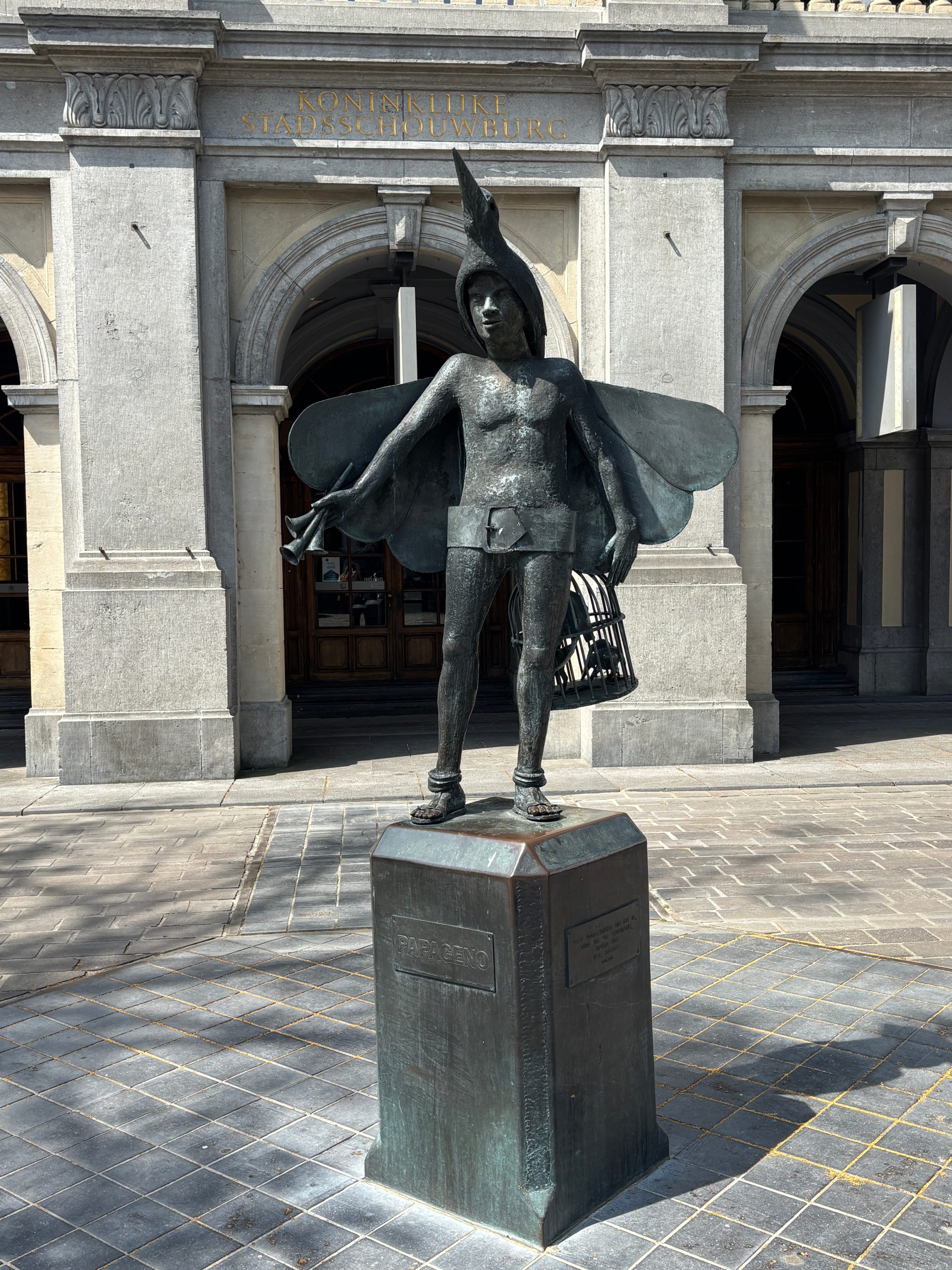
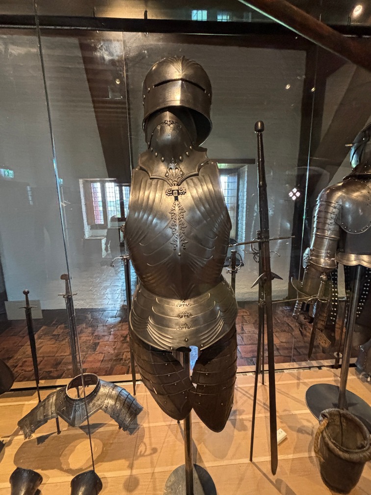
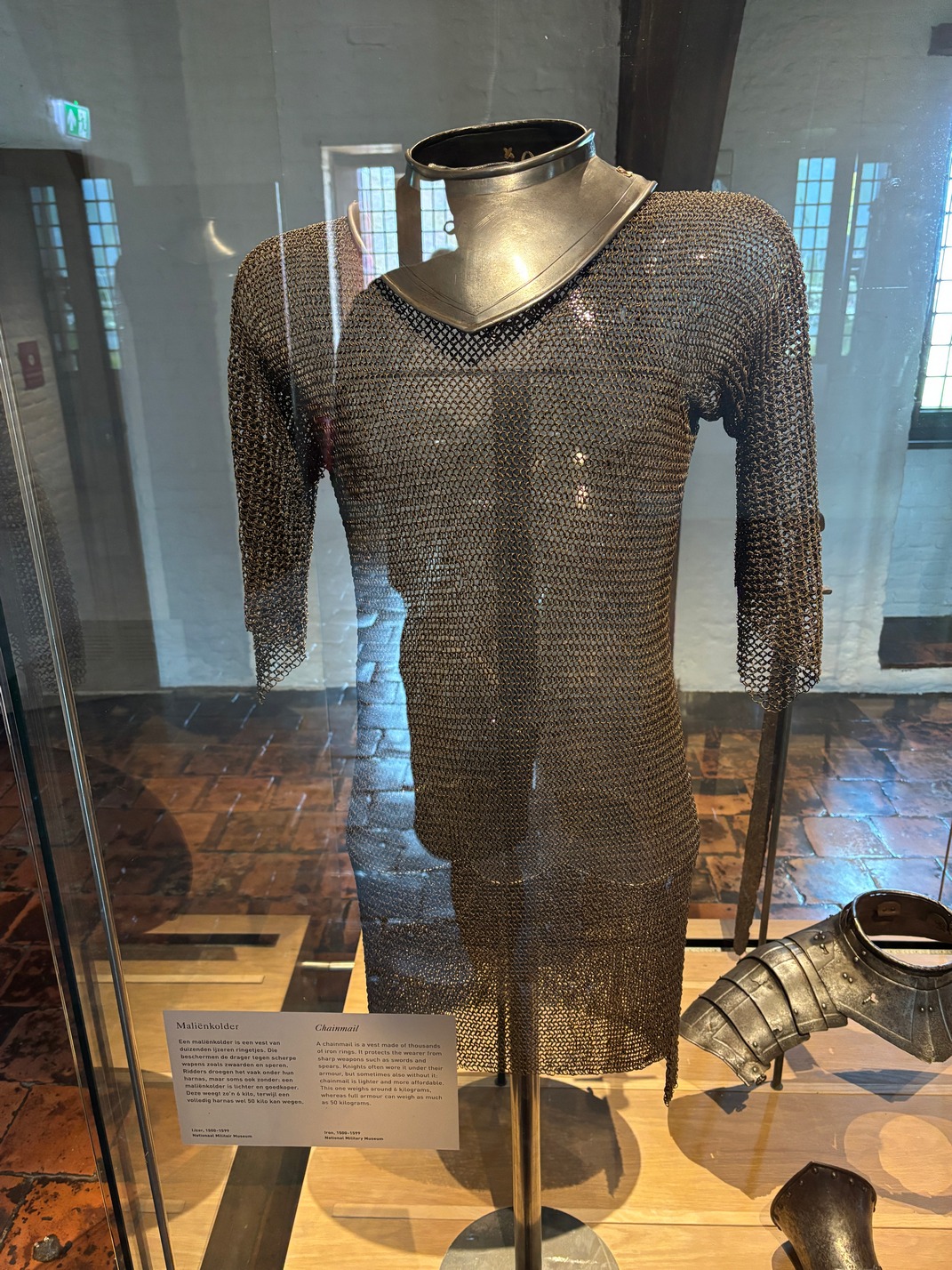
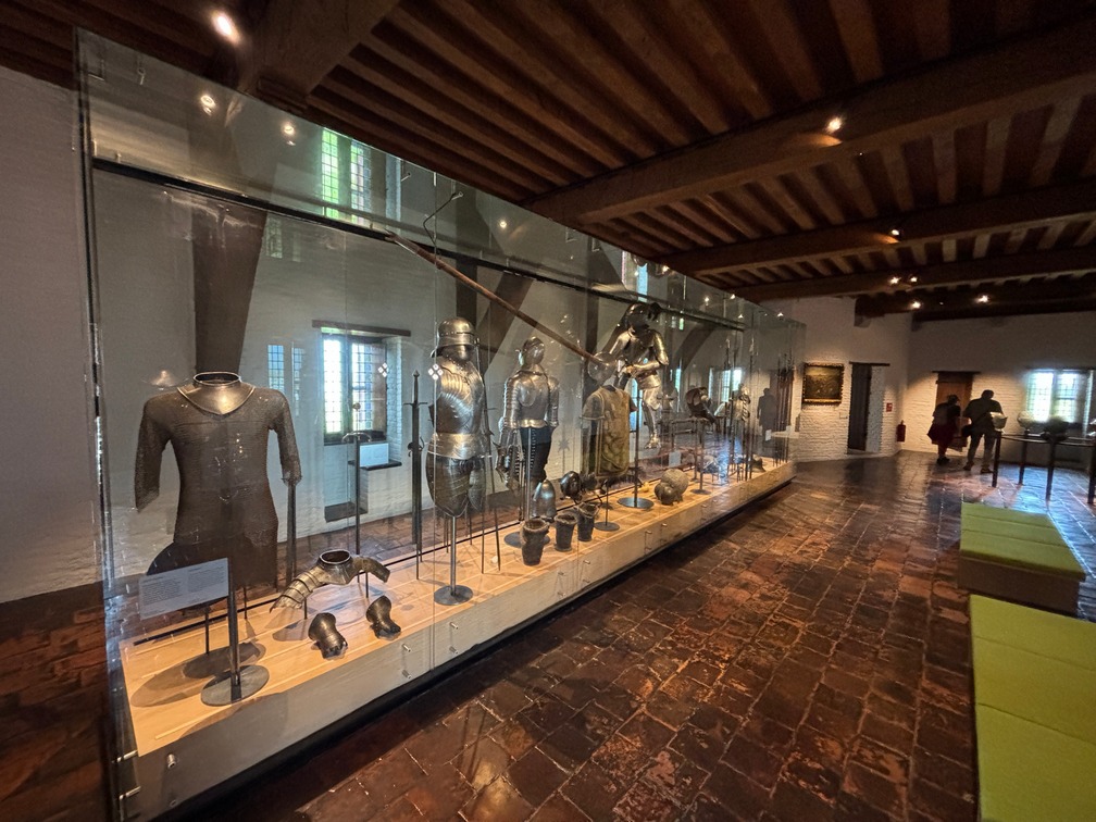
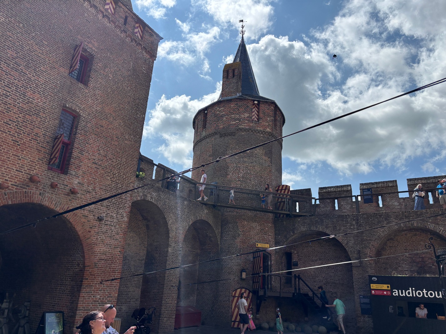
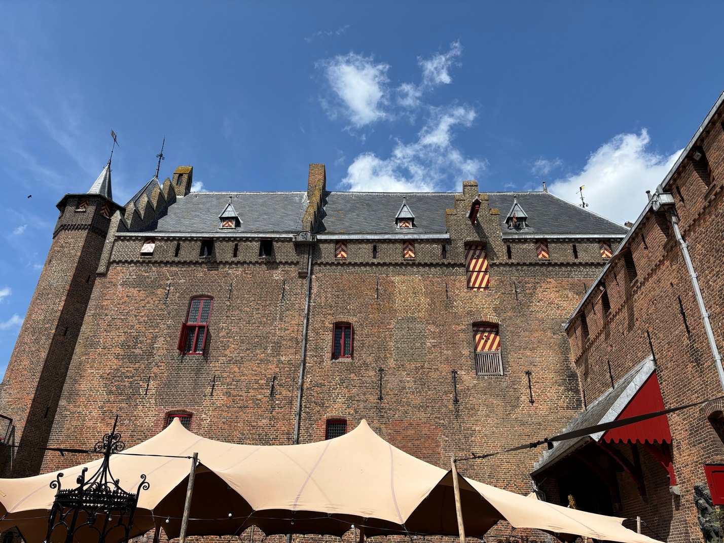
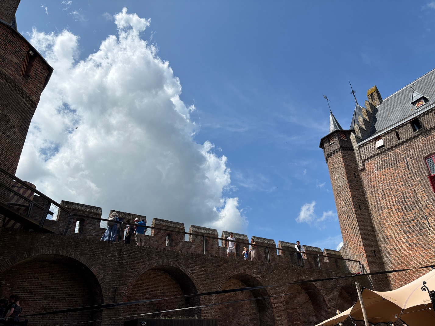
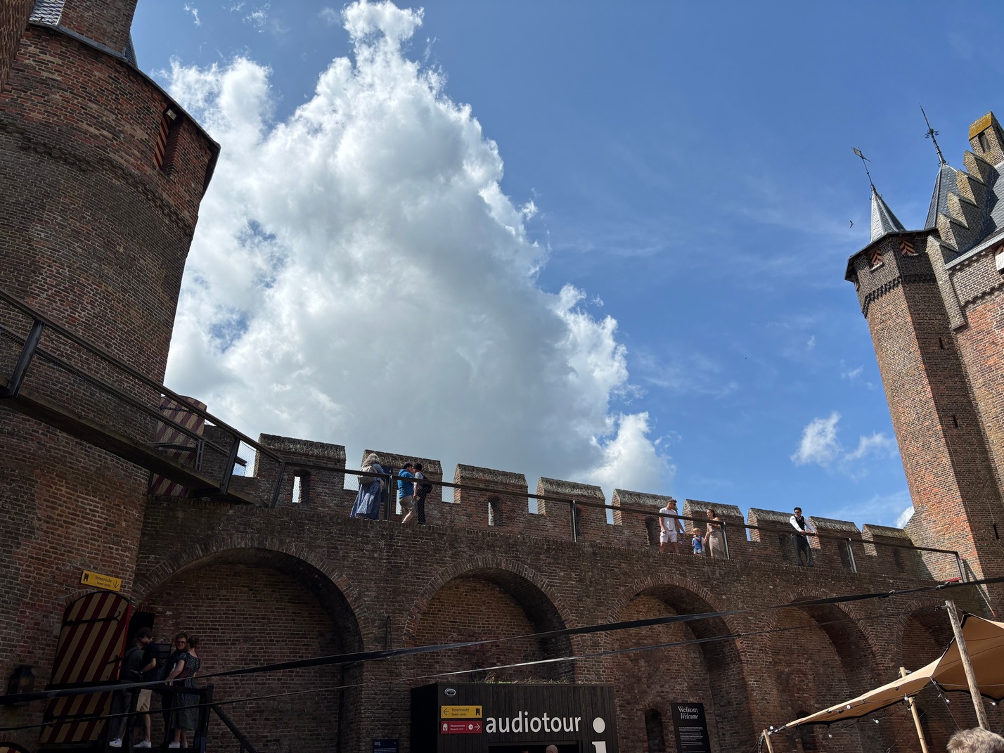
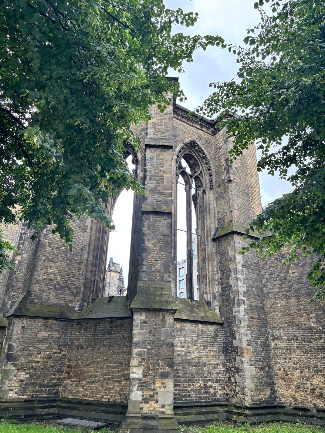
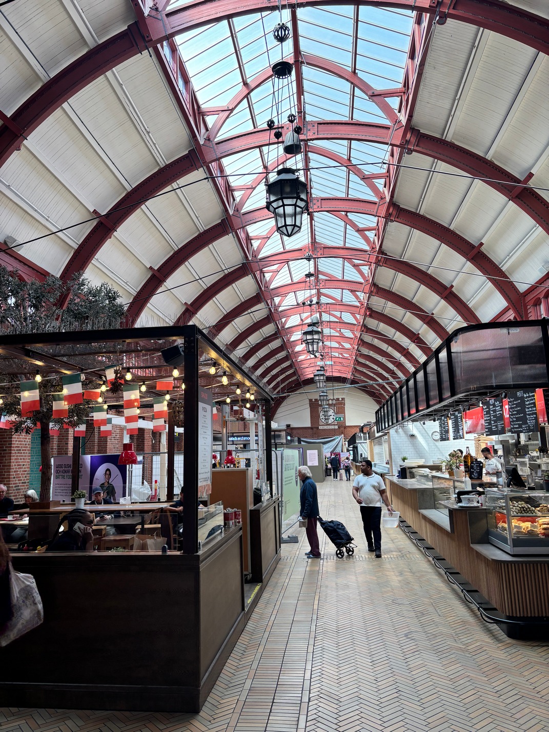
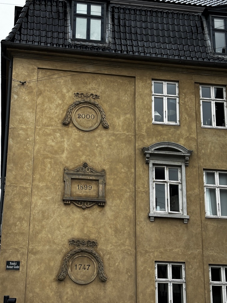
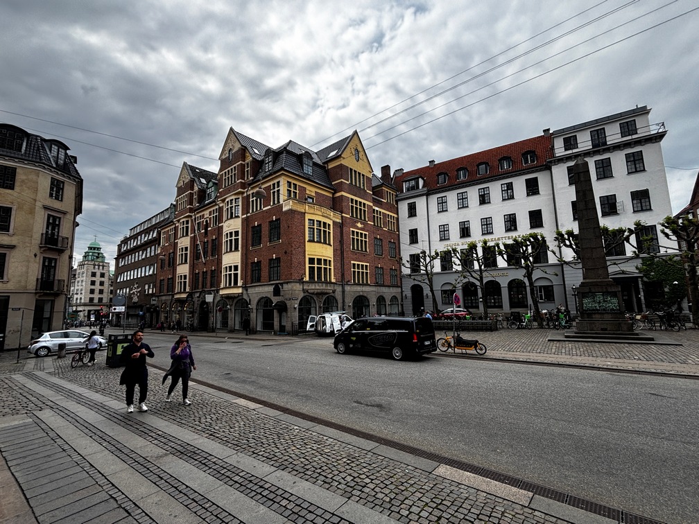
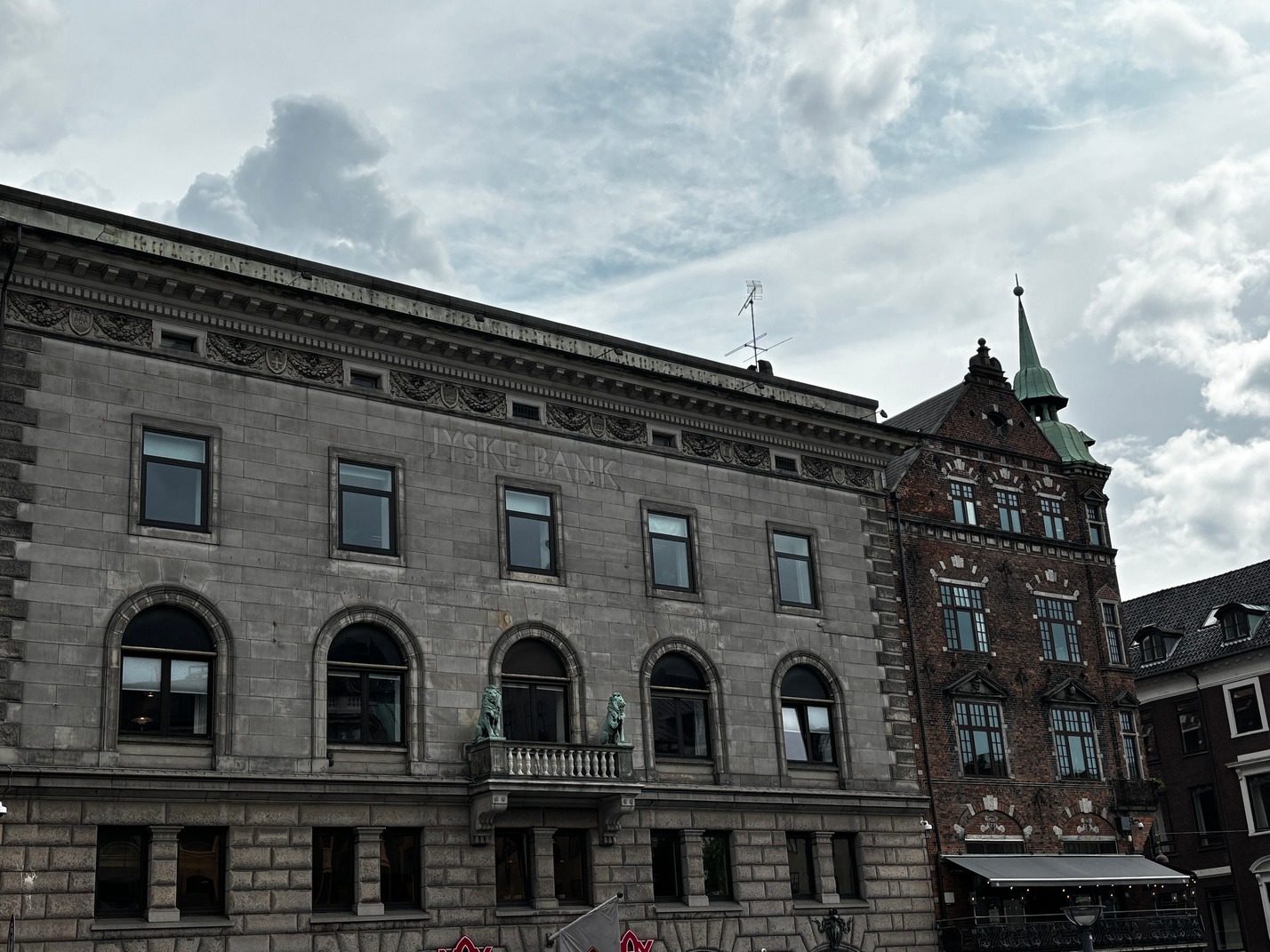
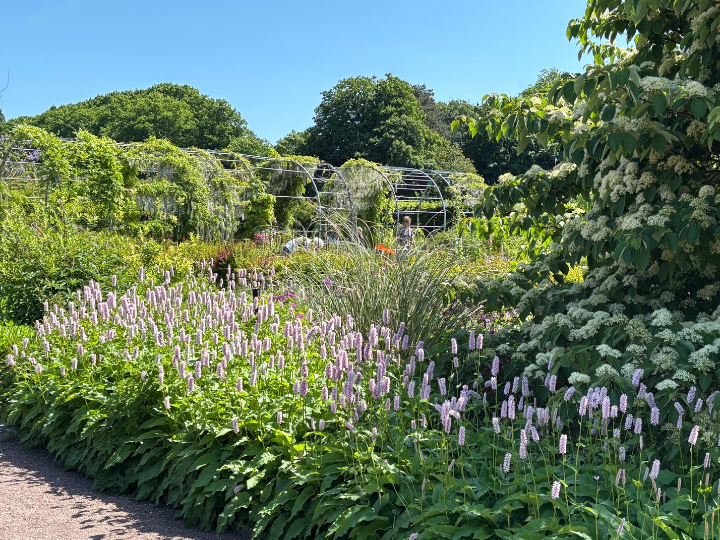
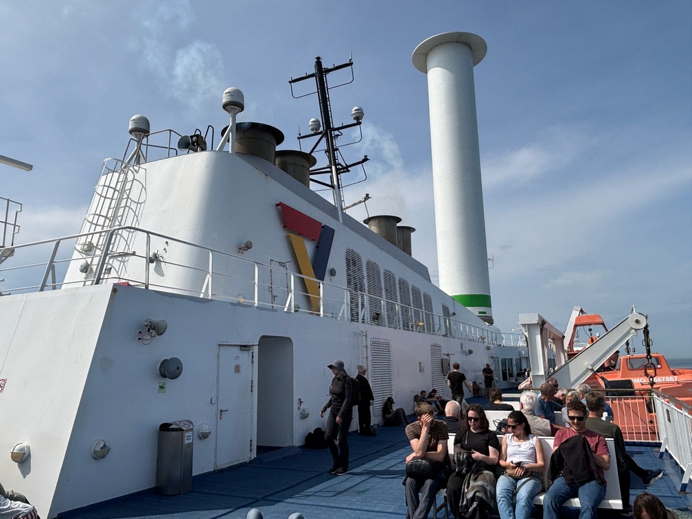
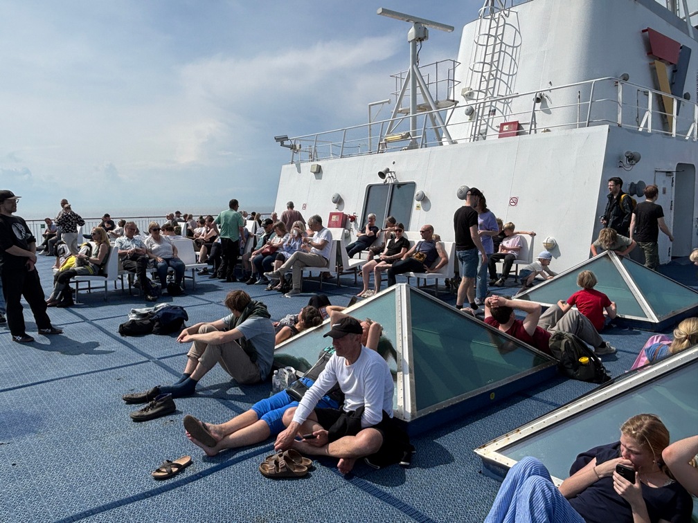
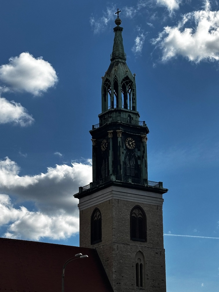
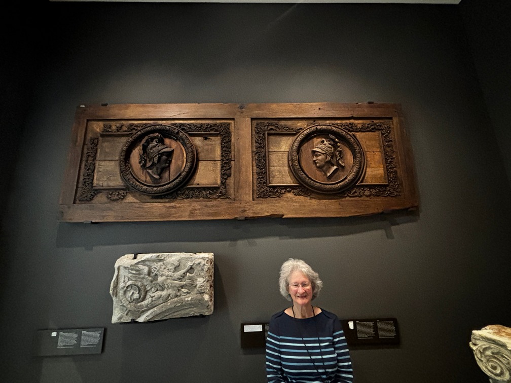
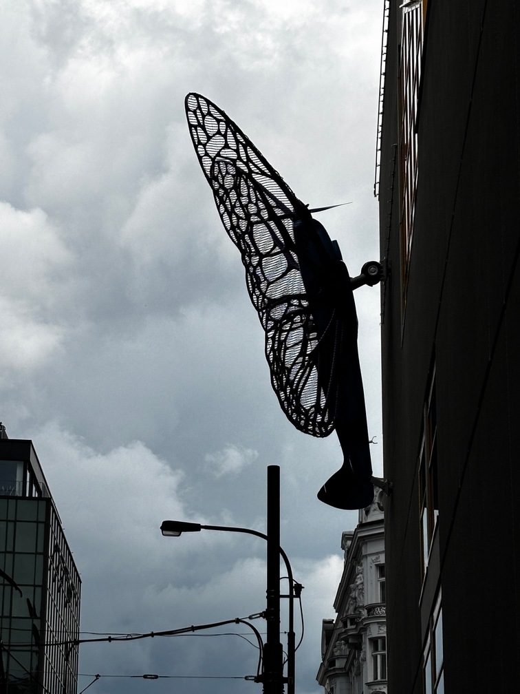
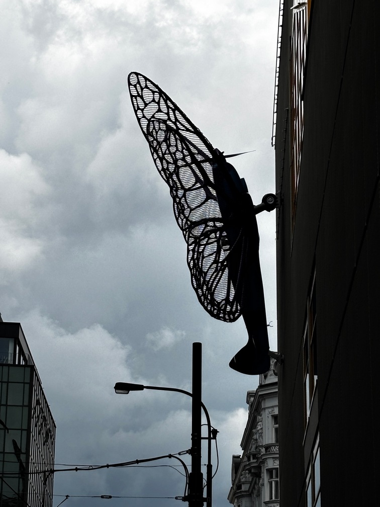
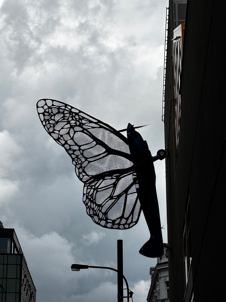
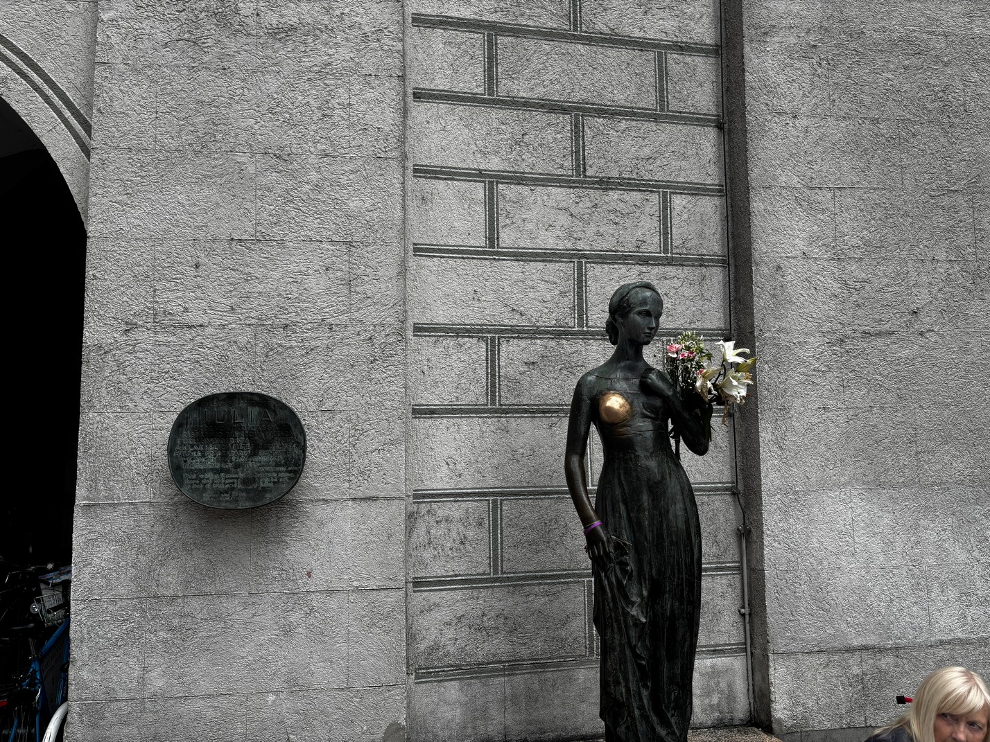
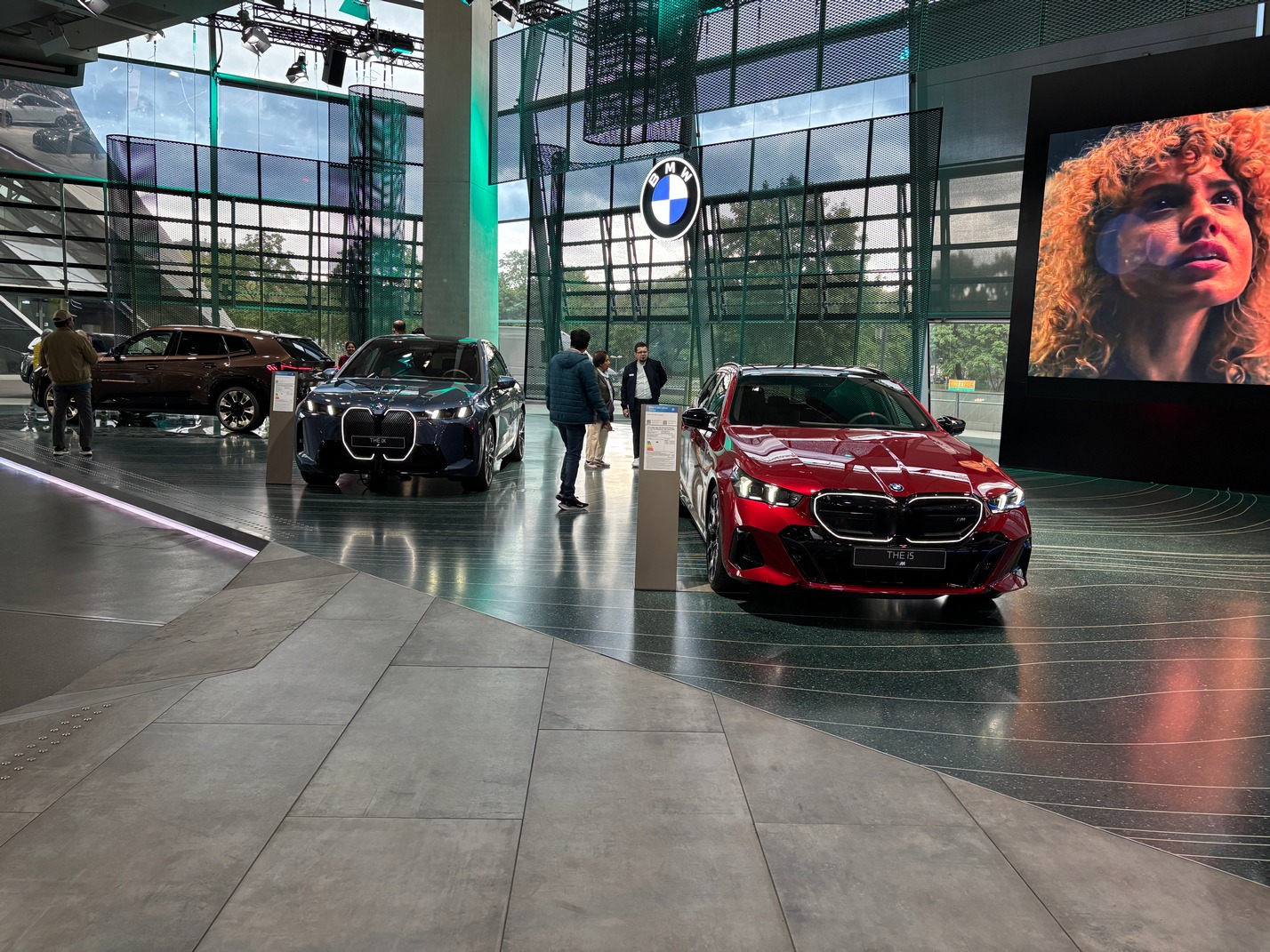
Brussels
 Eurostar’d into town. Our hotel was across the street from the train station. Had crummy pizza that evening.
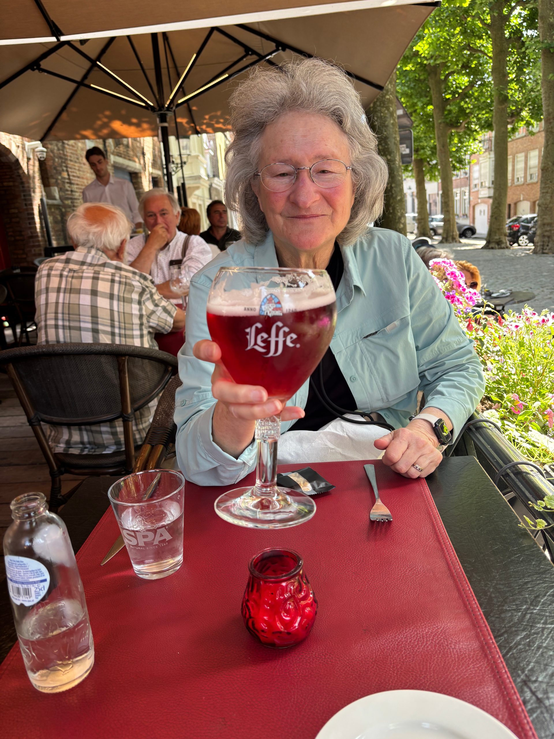
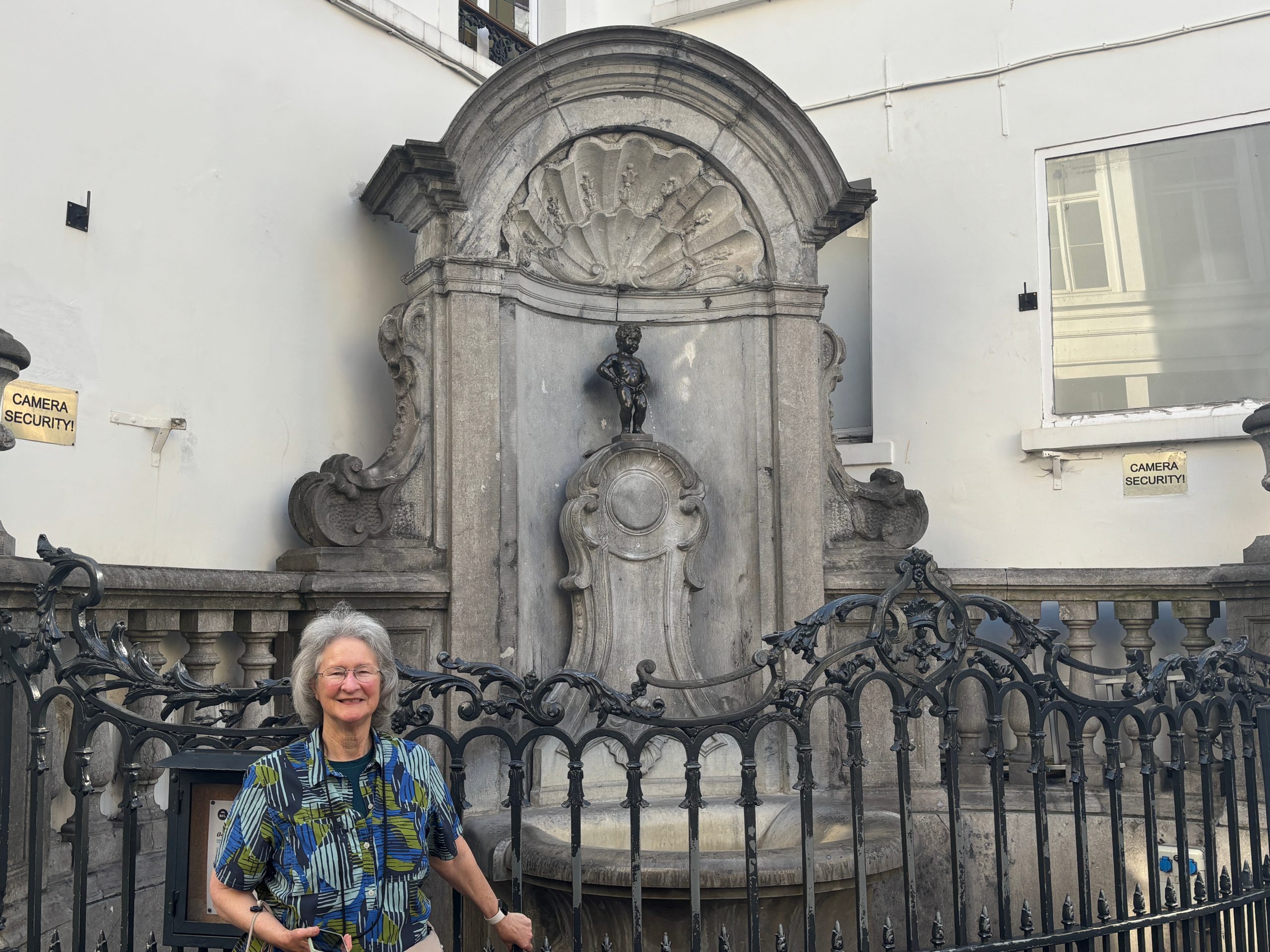
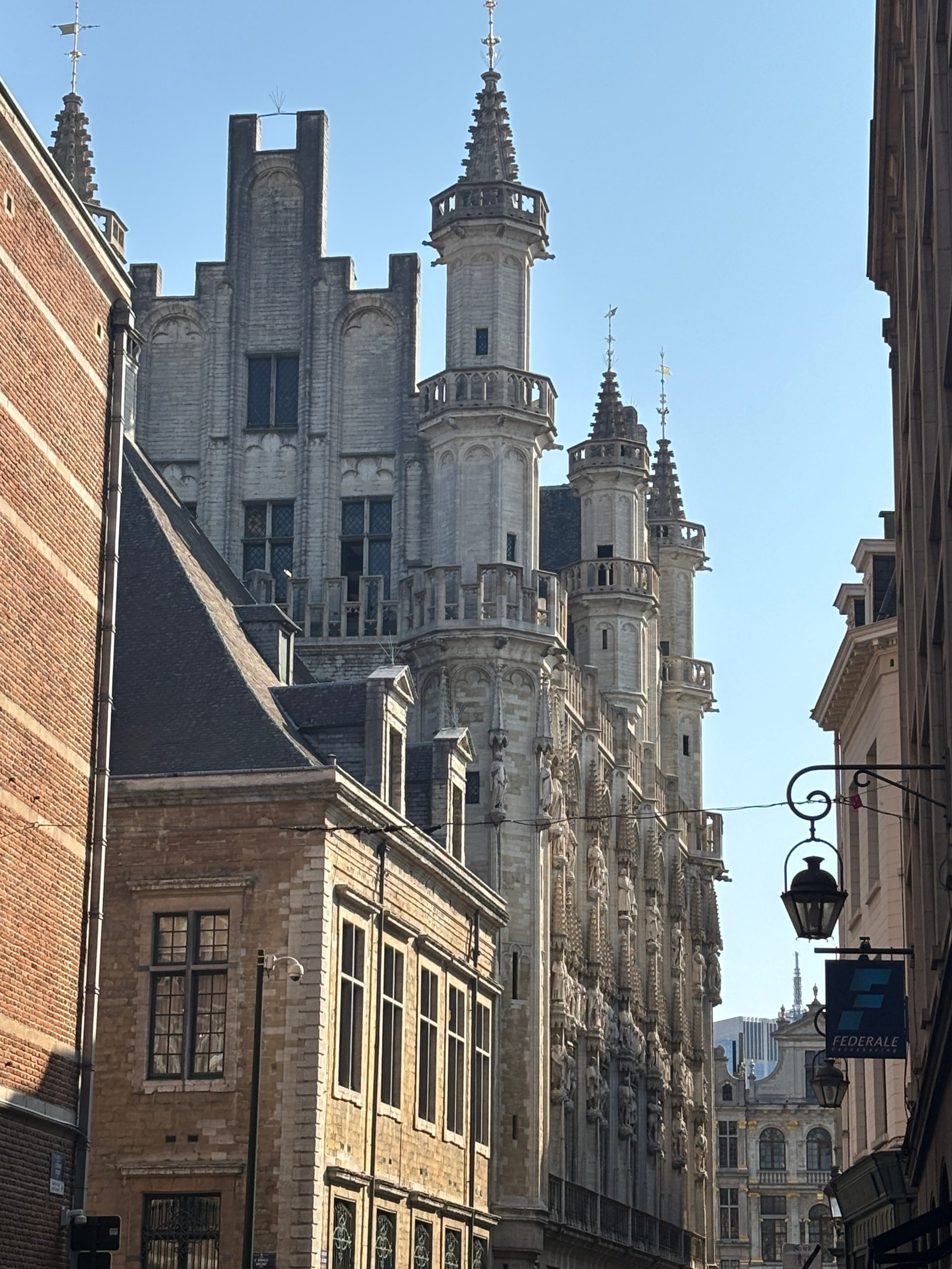
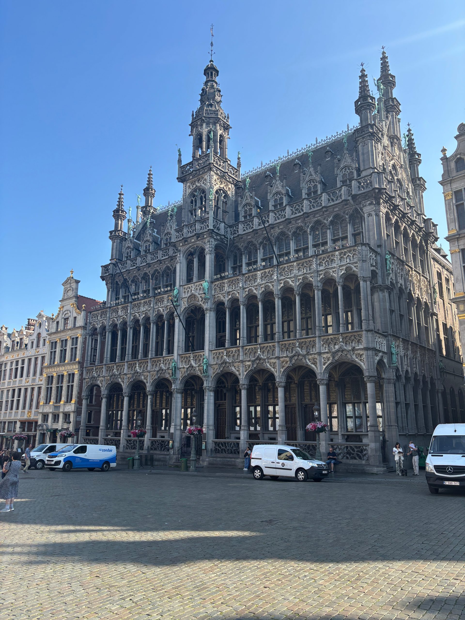
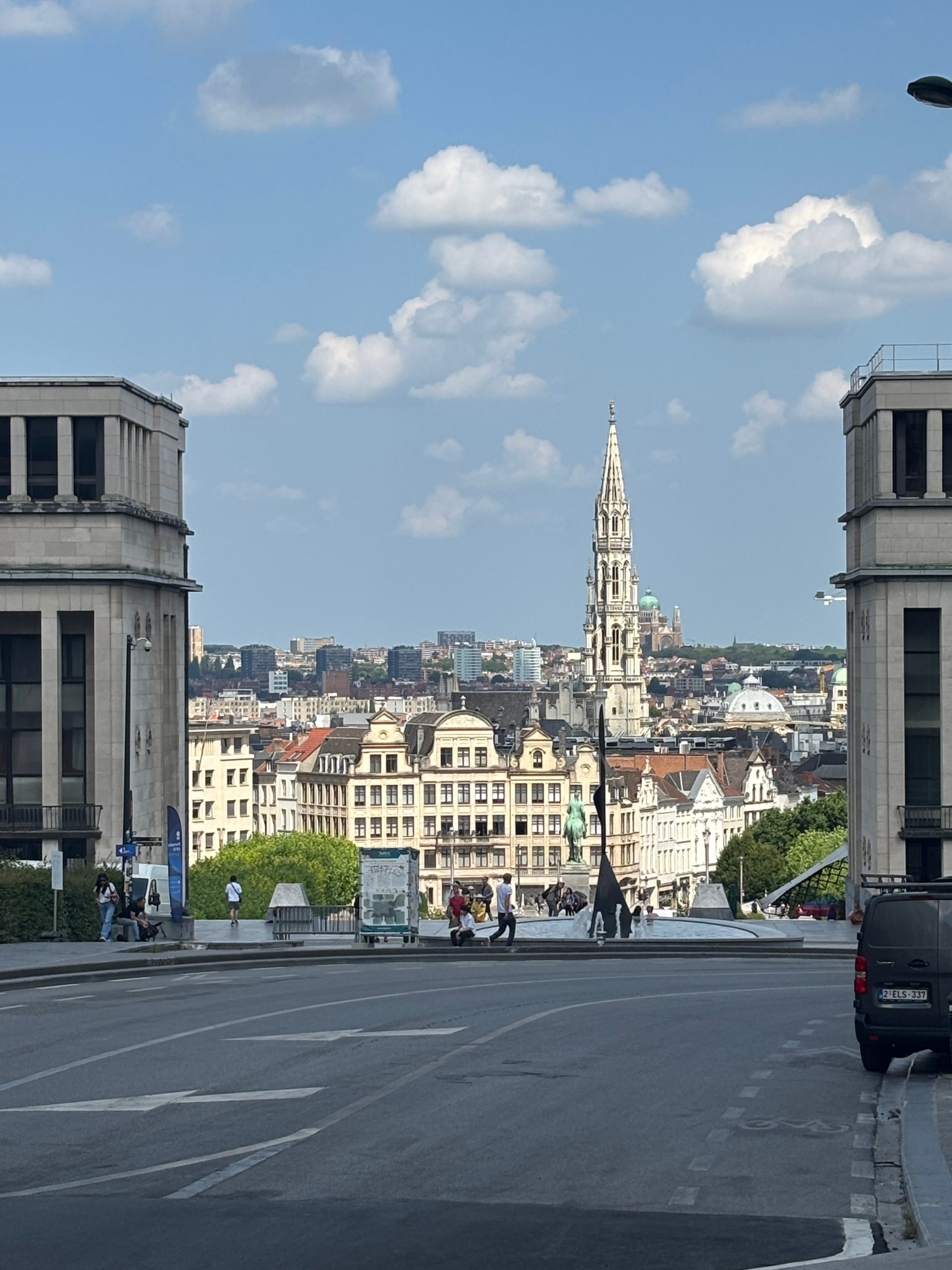
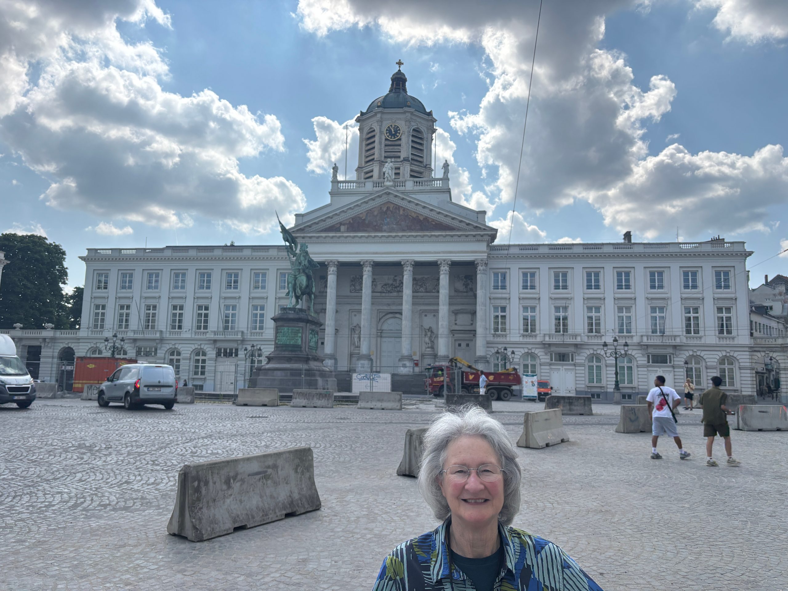
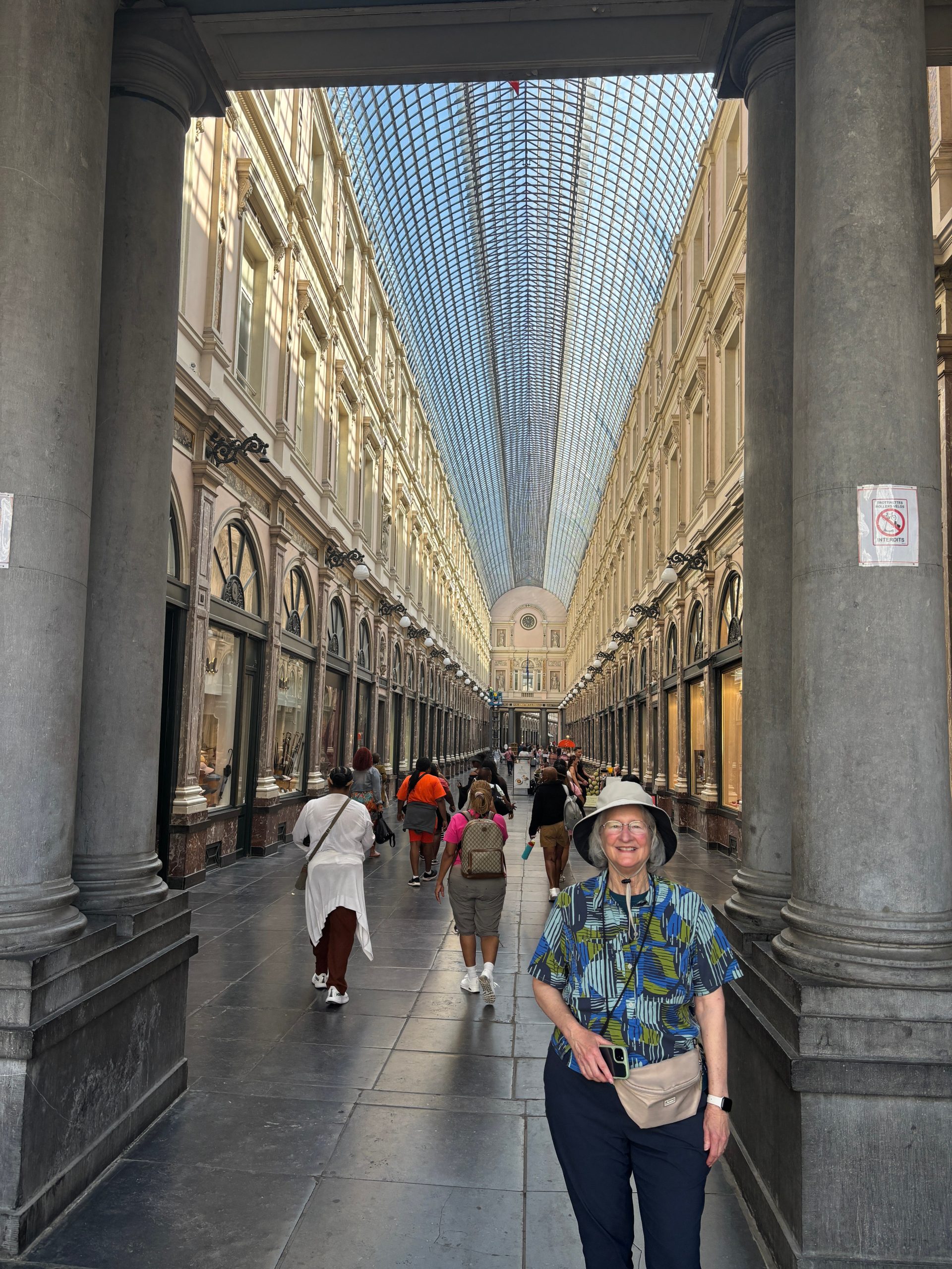
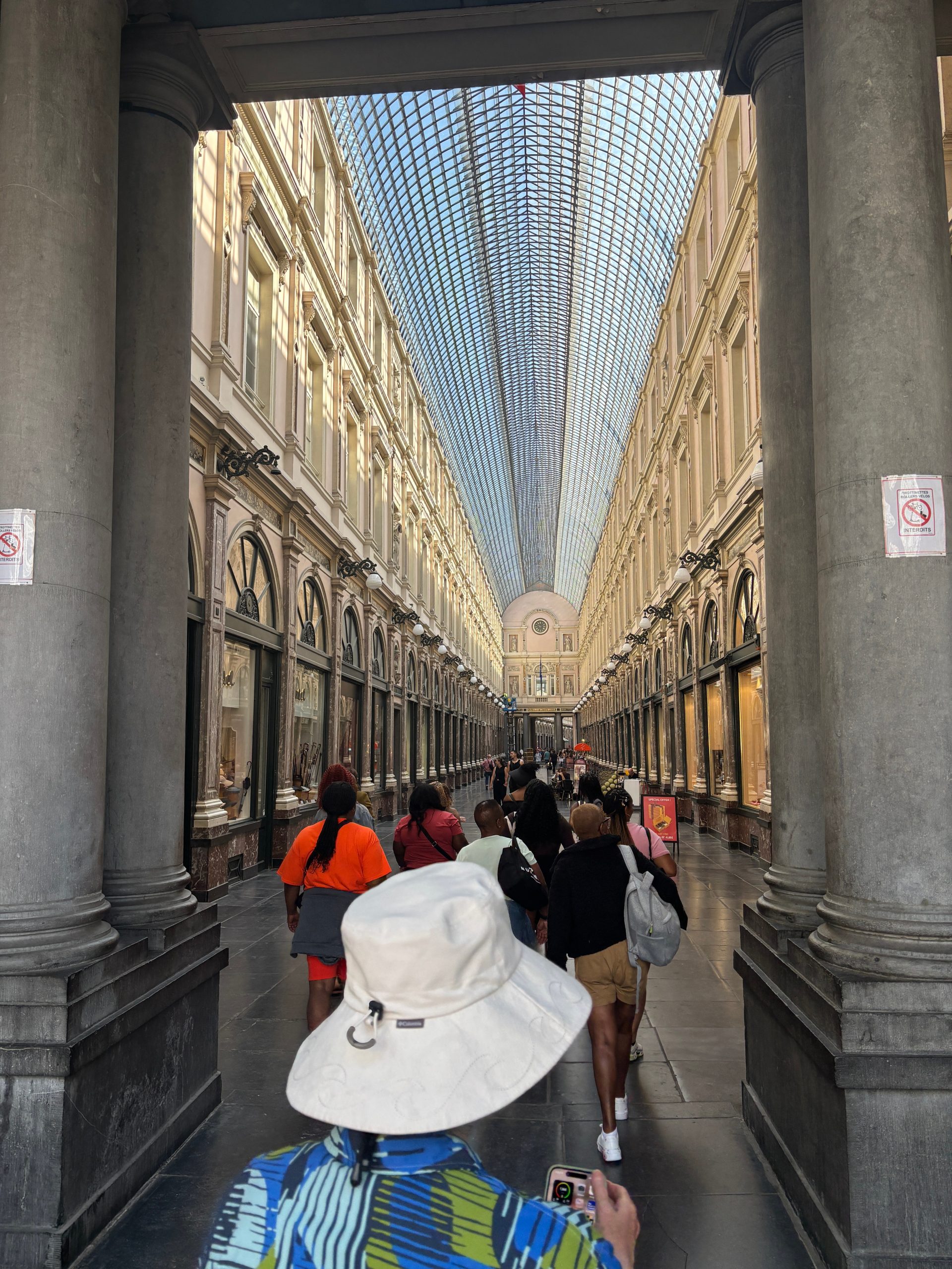
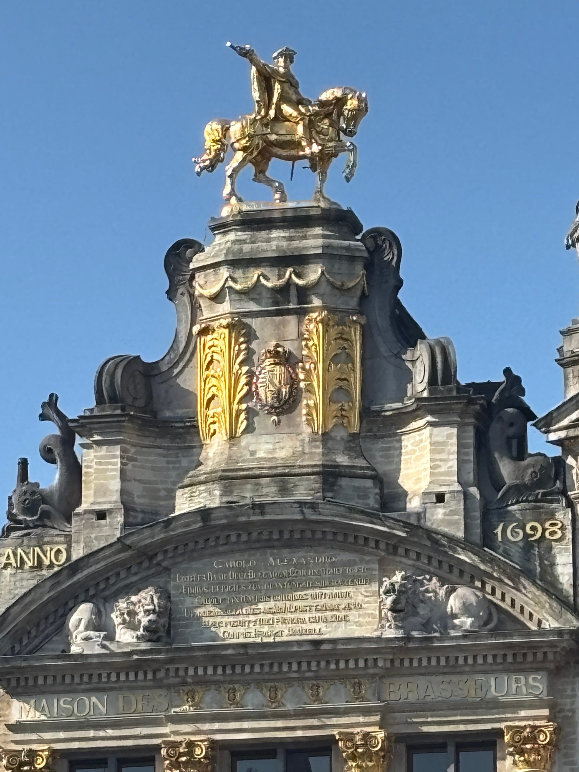
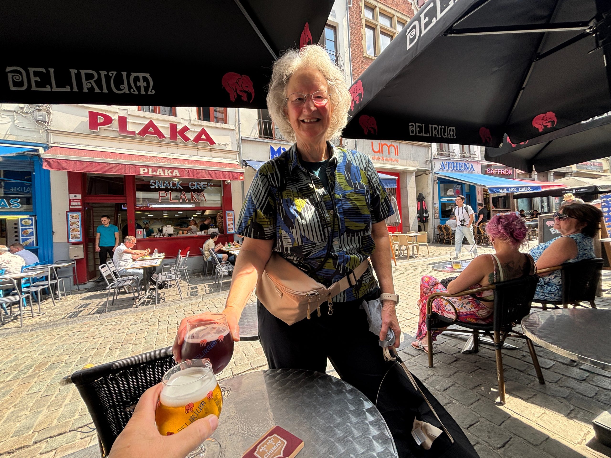
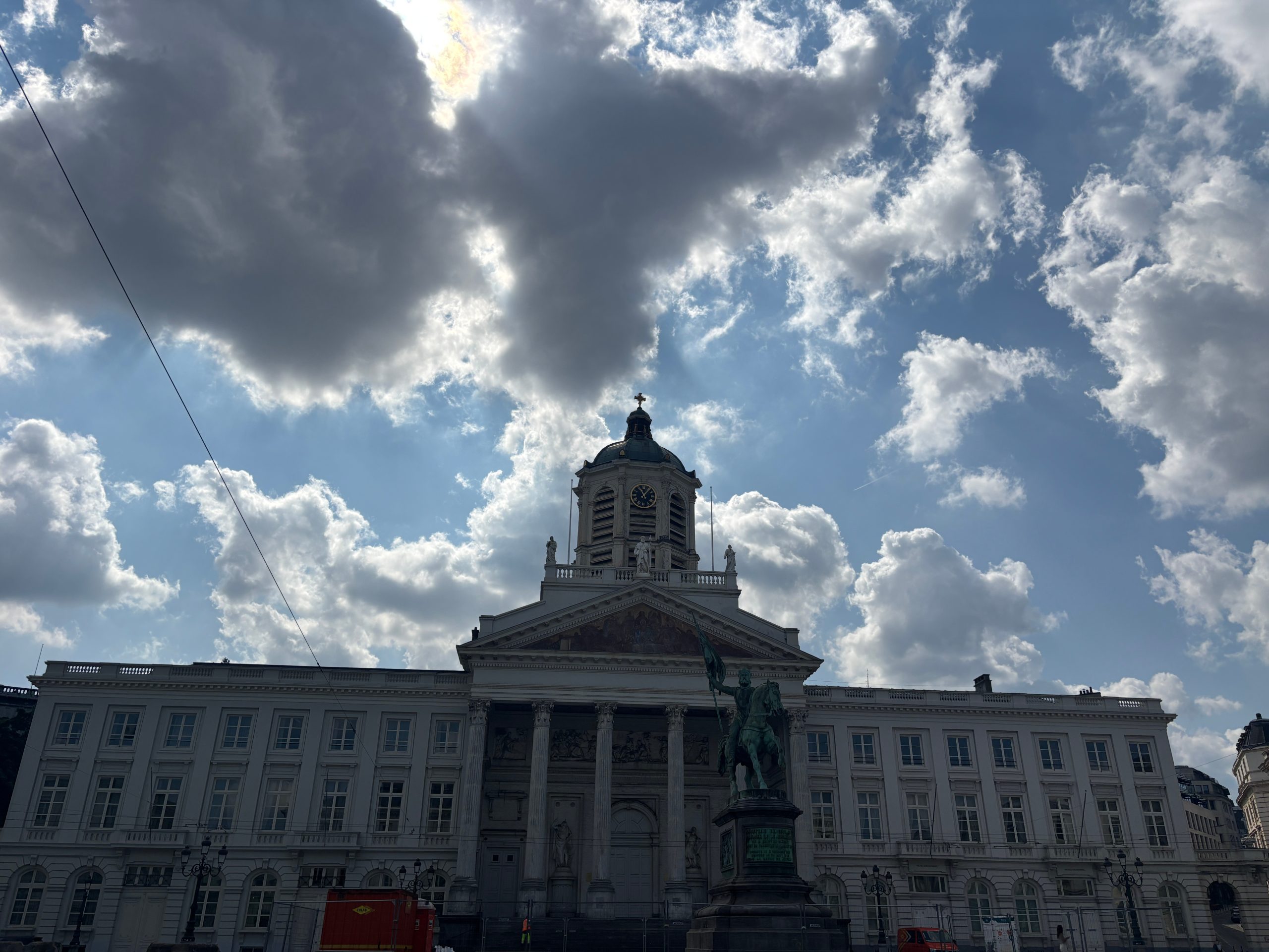
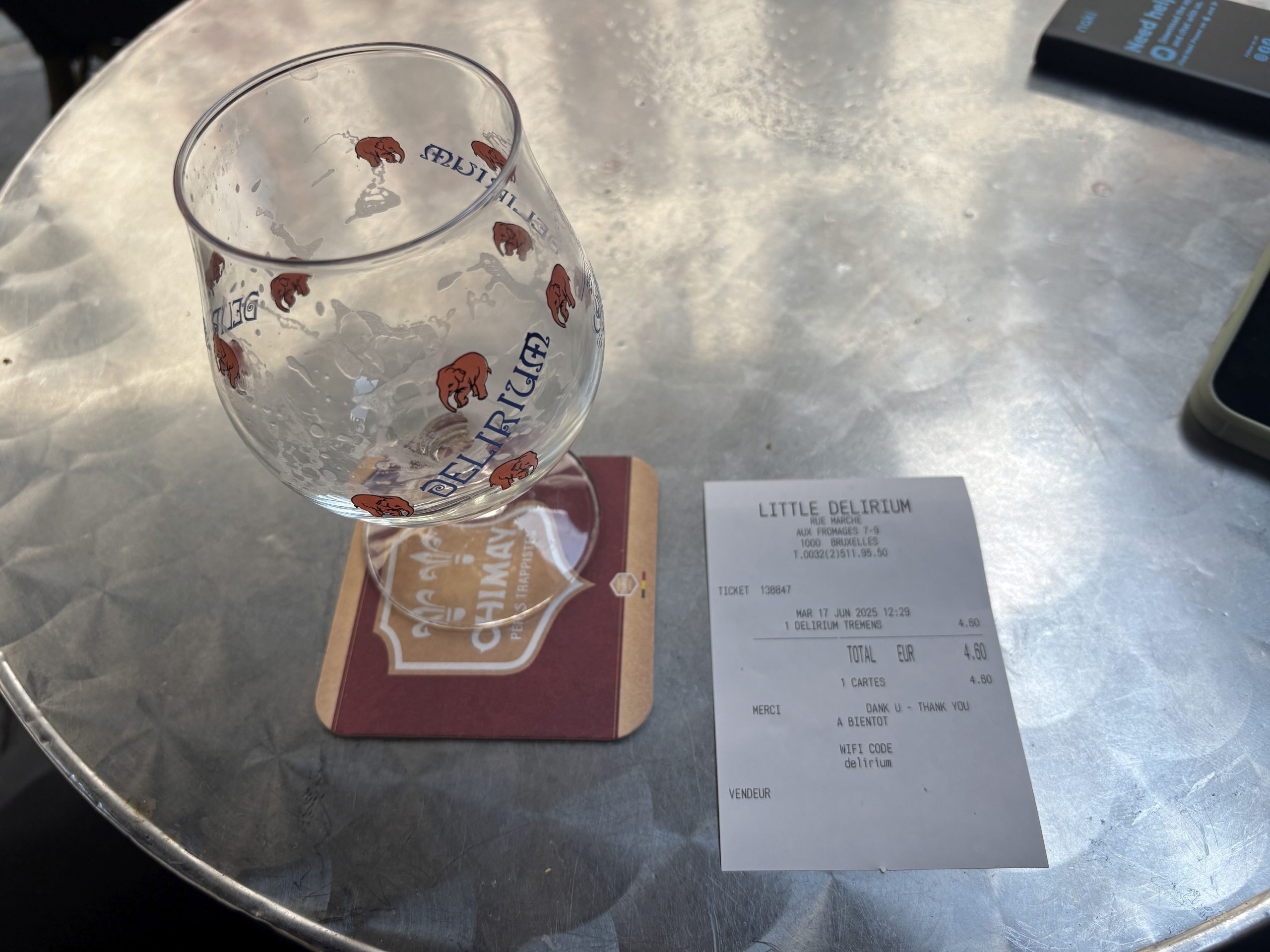
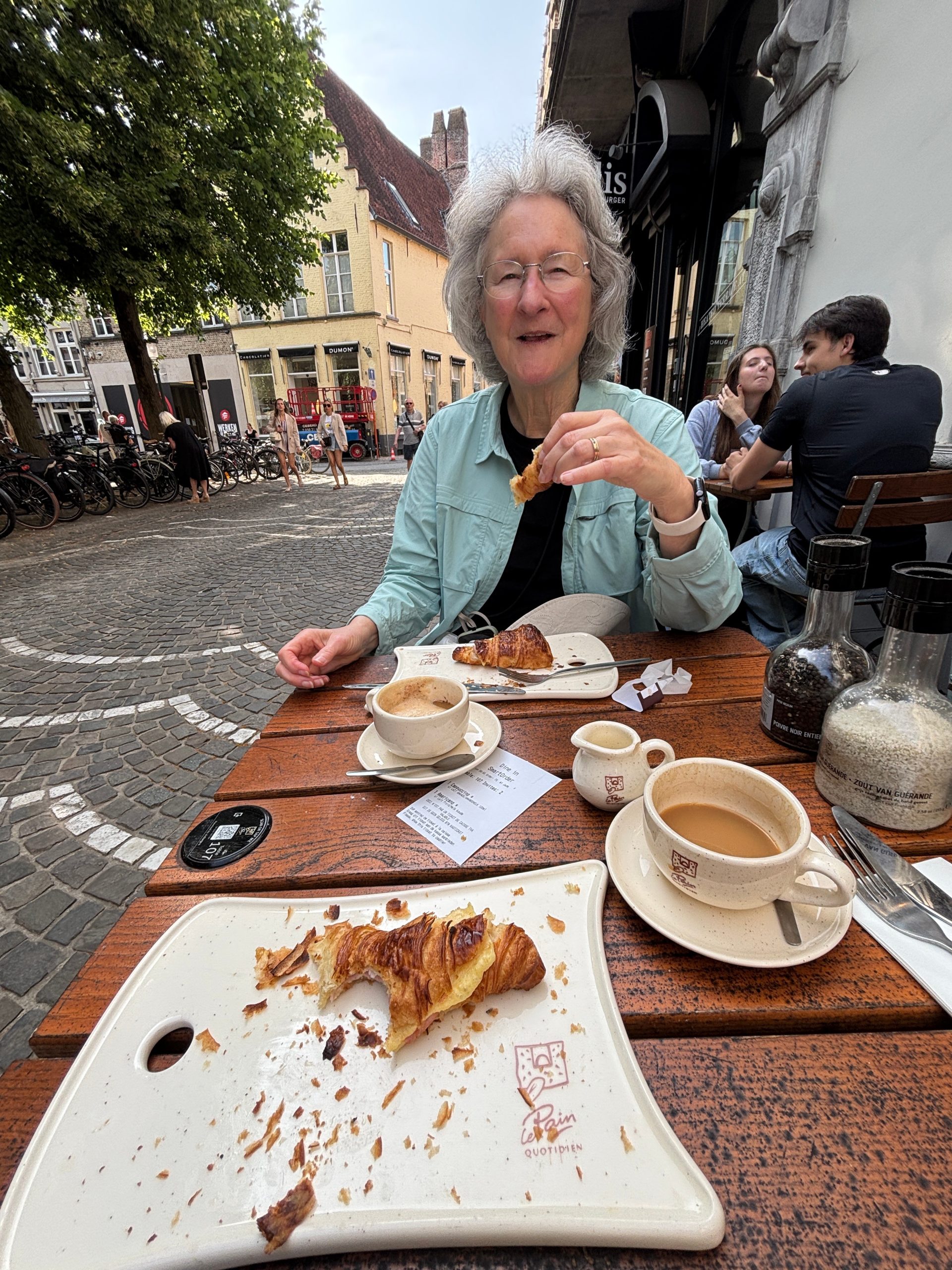
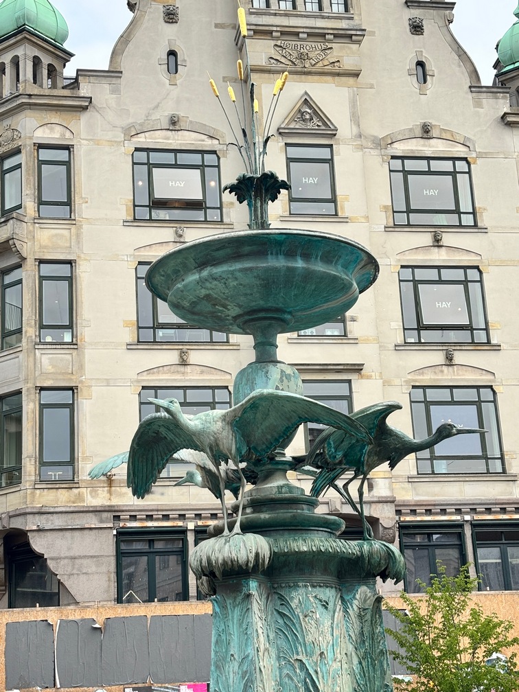
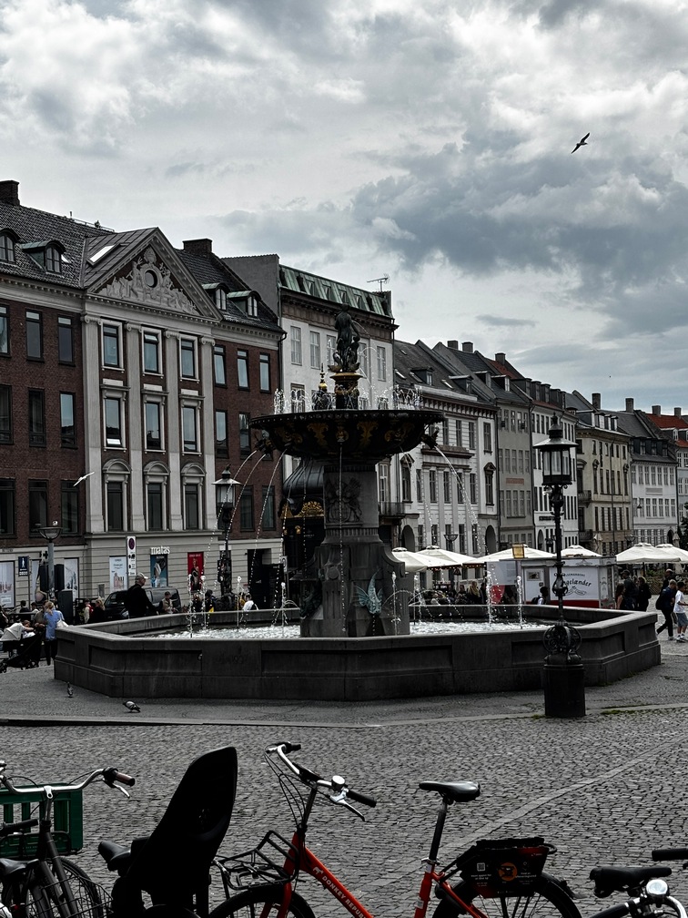
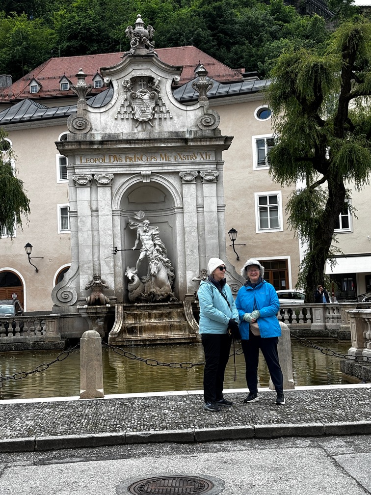
Breakfast at the hotel, just barely ok. Bused over the the 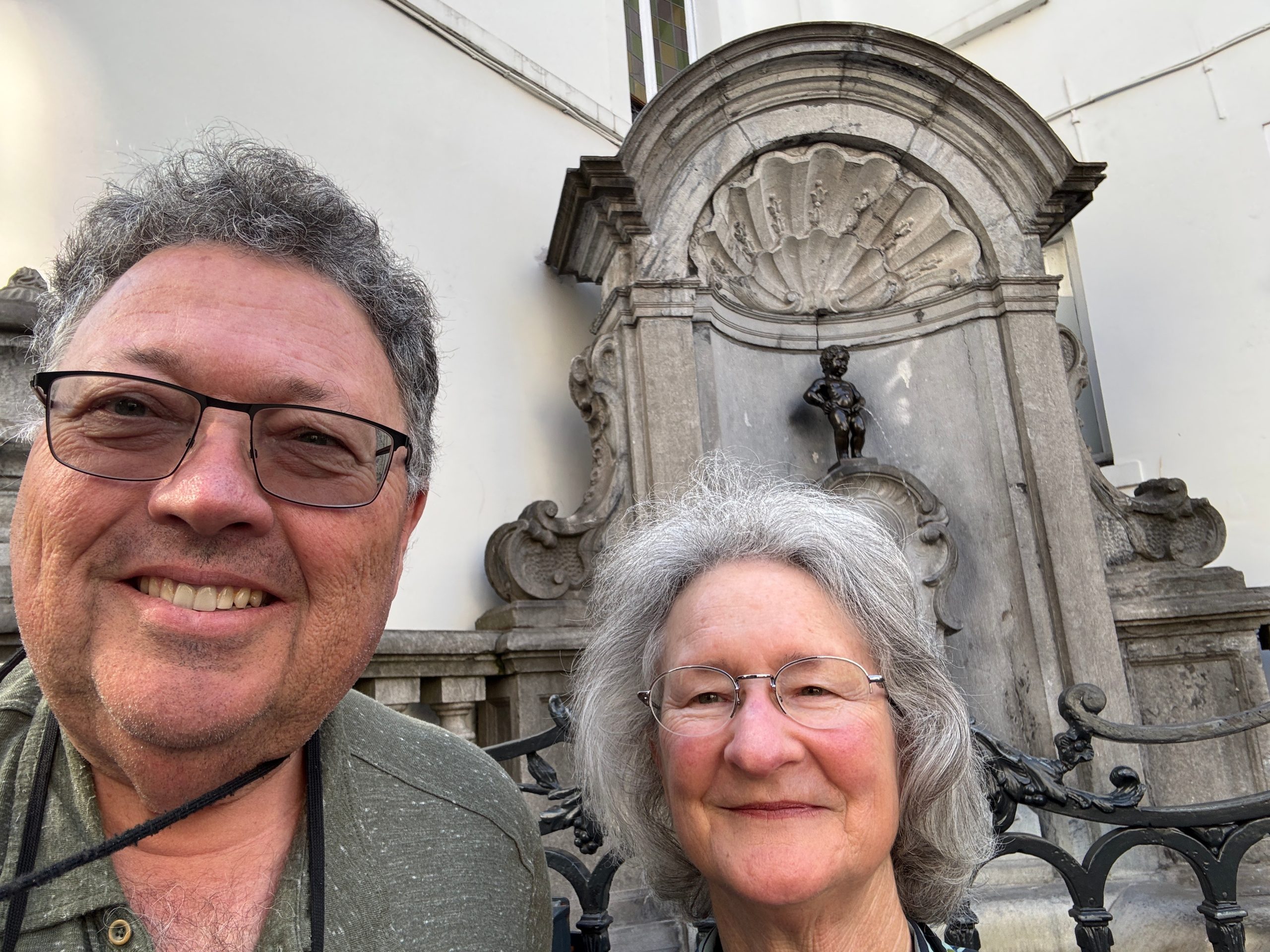 Manninkin Pis fountain then walked to Grand Place. Bused up to Cathedral, then bused to the Royal Palace. Bused back down to the Grand Place to find Little Delirium for beer outside and picked
 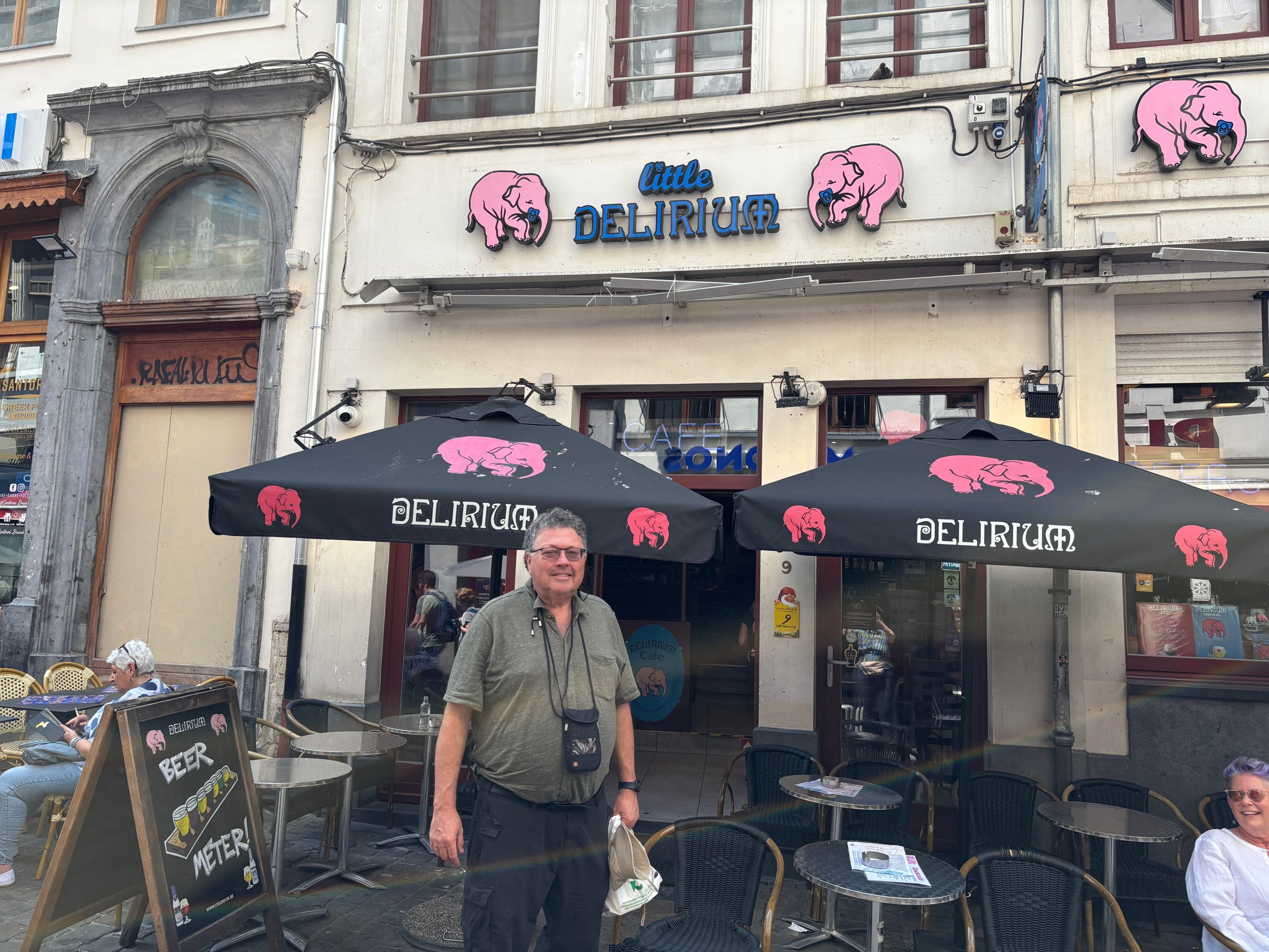 up Greek takeout across the street and ate it in front of Little Delirium. Met a couple from Scottsdale that were about to board a river cruise here on Tatum Cruises? They had just been in Paris this morning.
Bused from there on the 48 all the way to back to the train station across from our hotel.
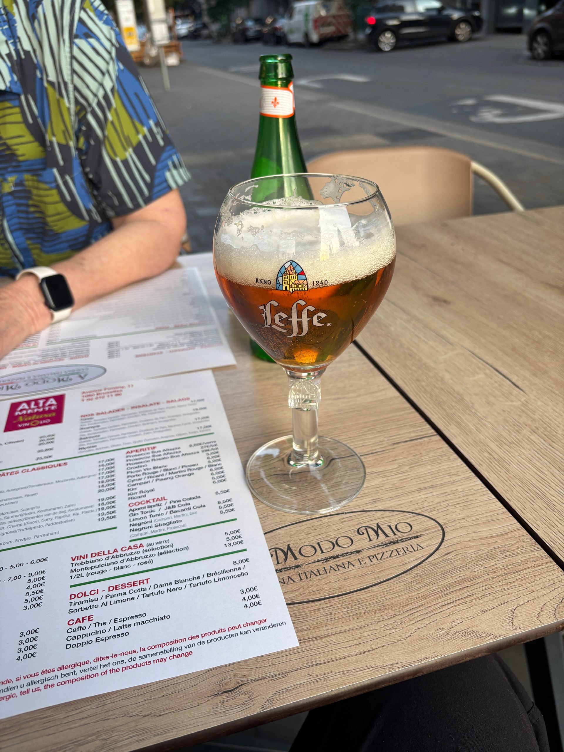
Went out for good pizza a couple blocks to the right this time.
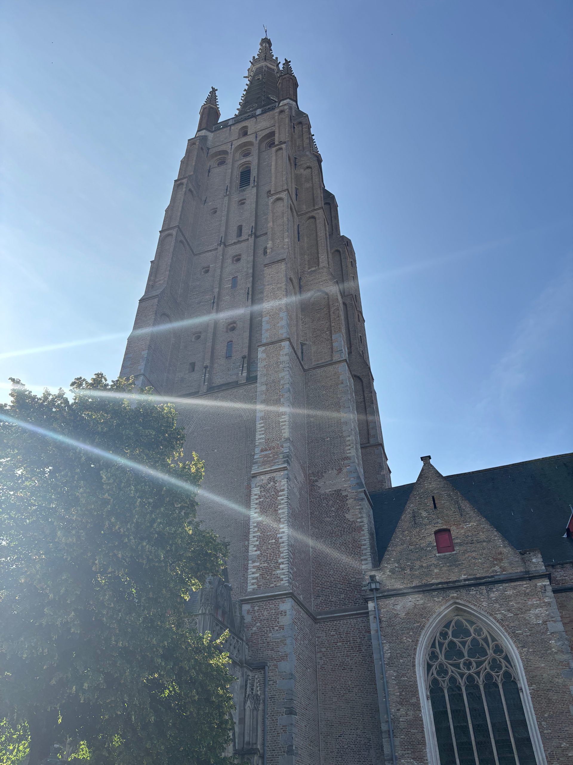
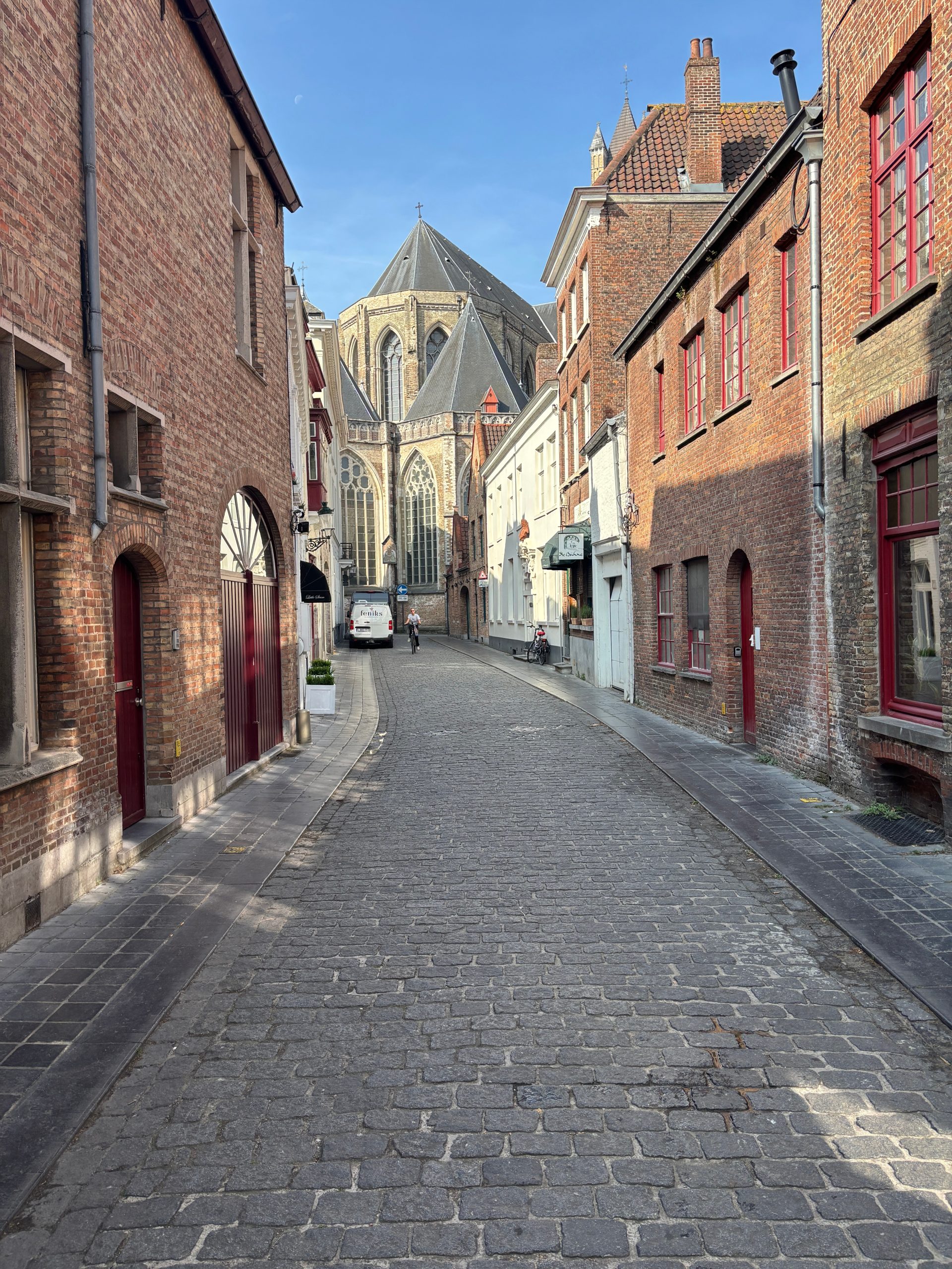
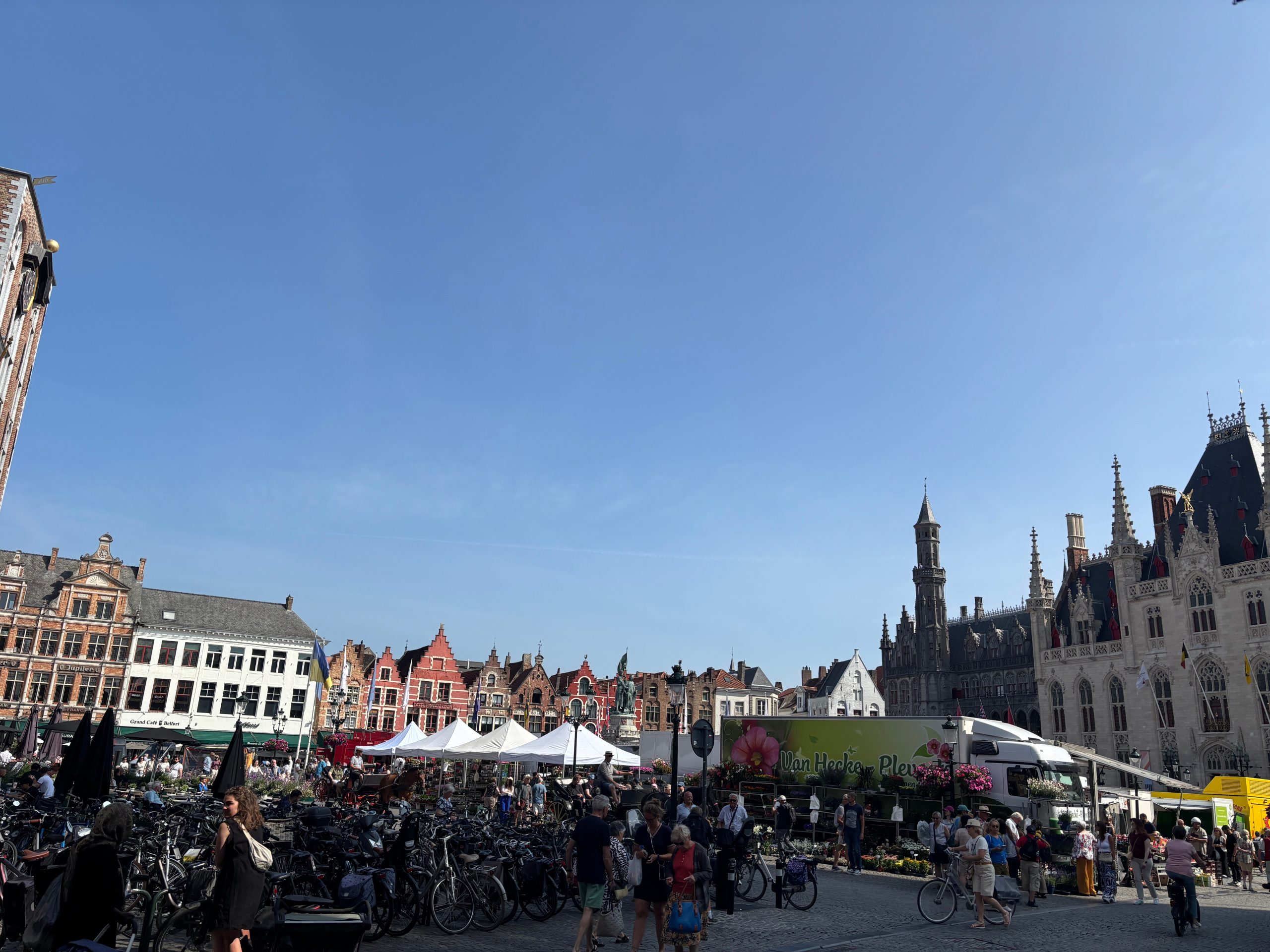
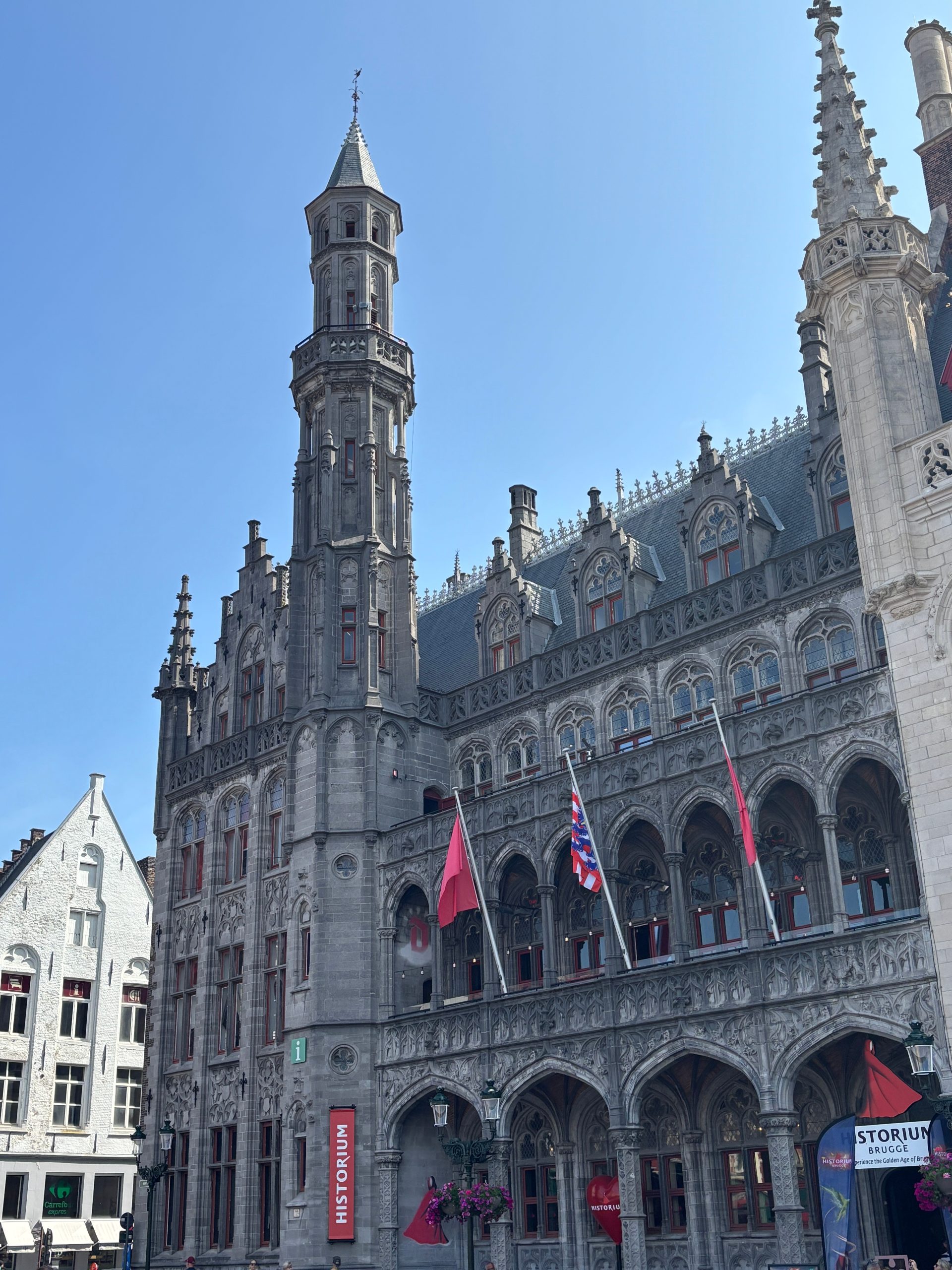
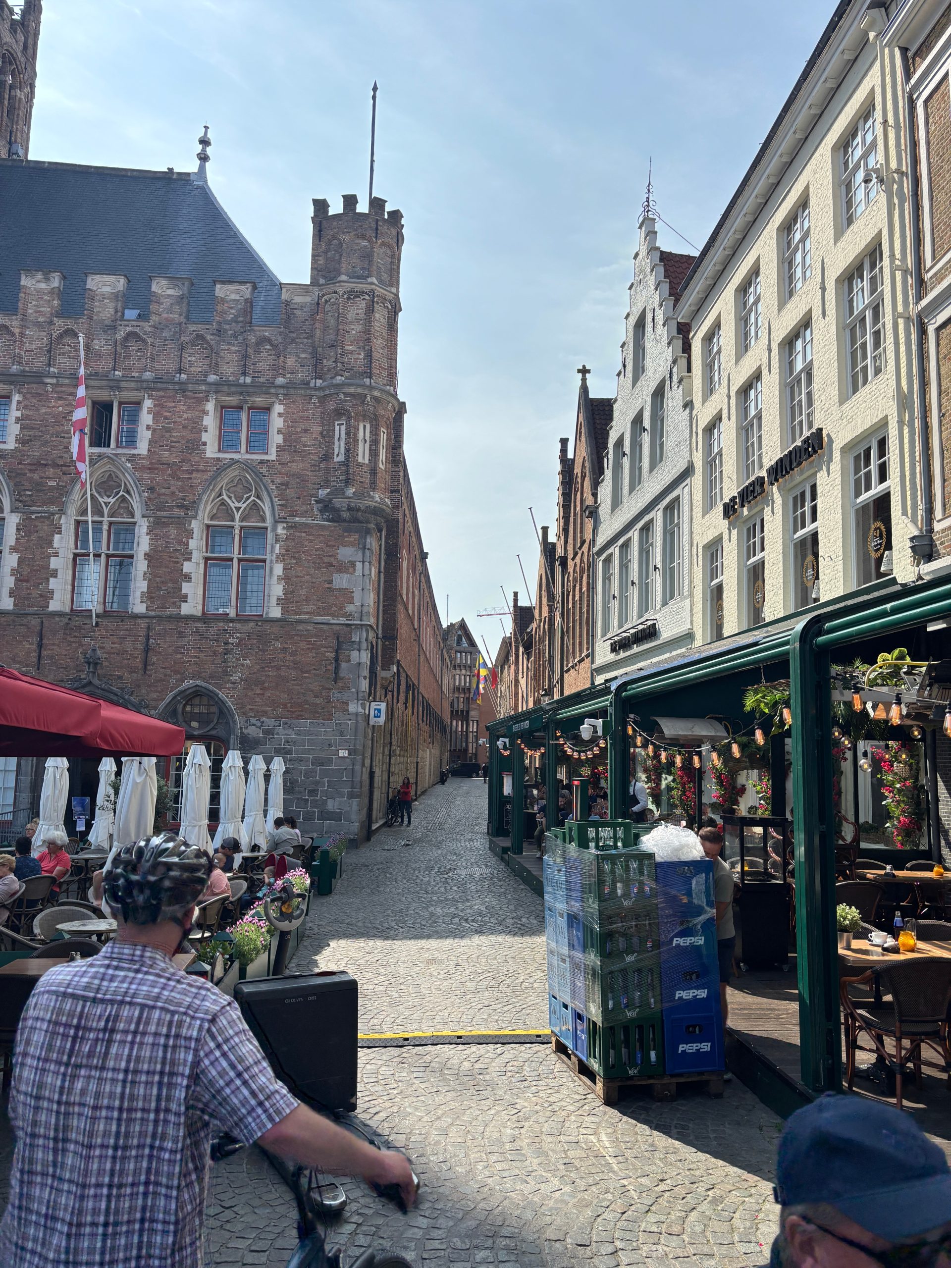
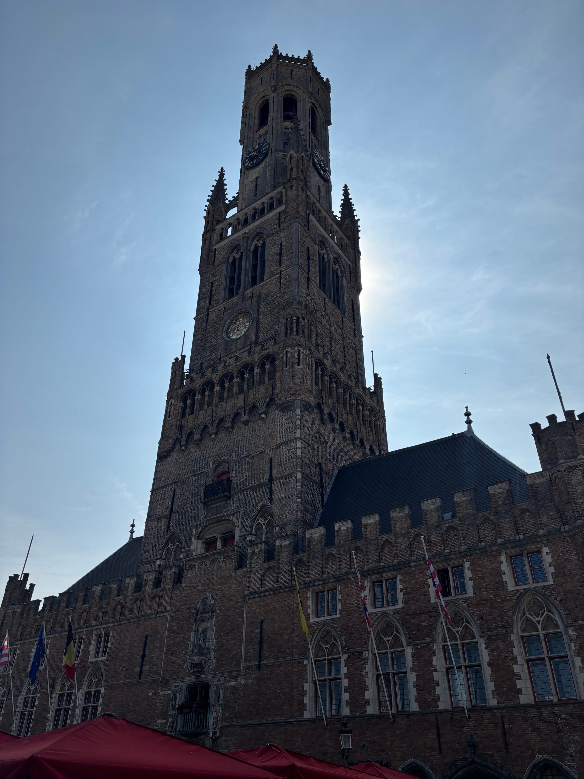
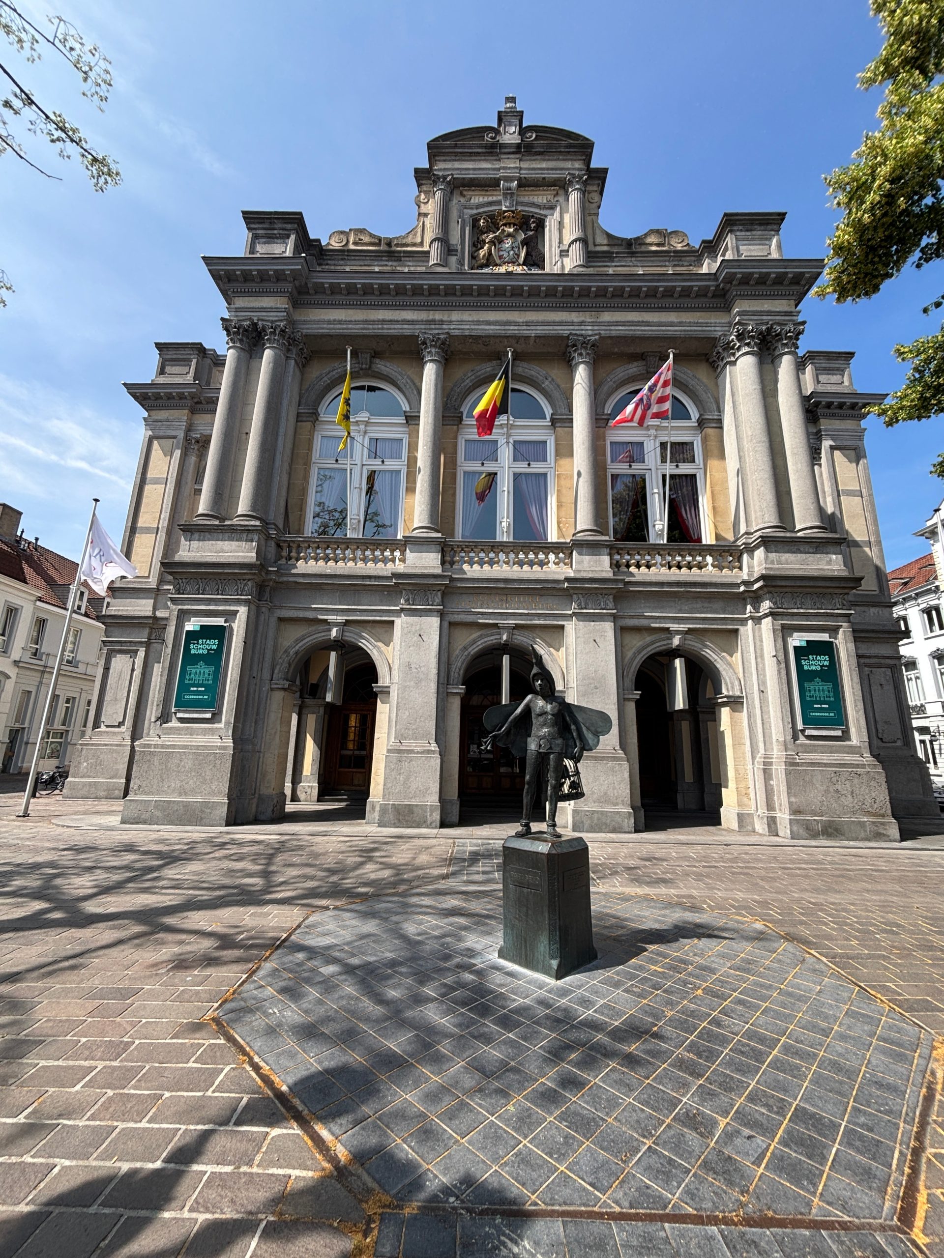
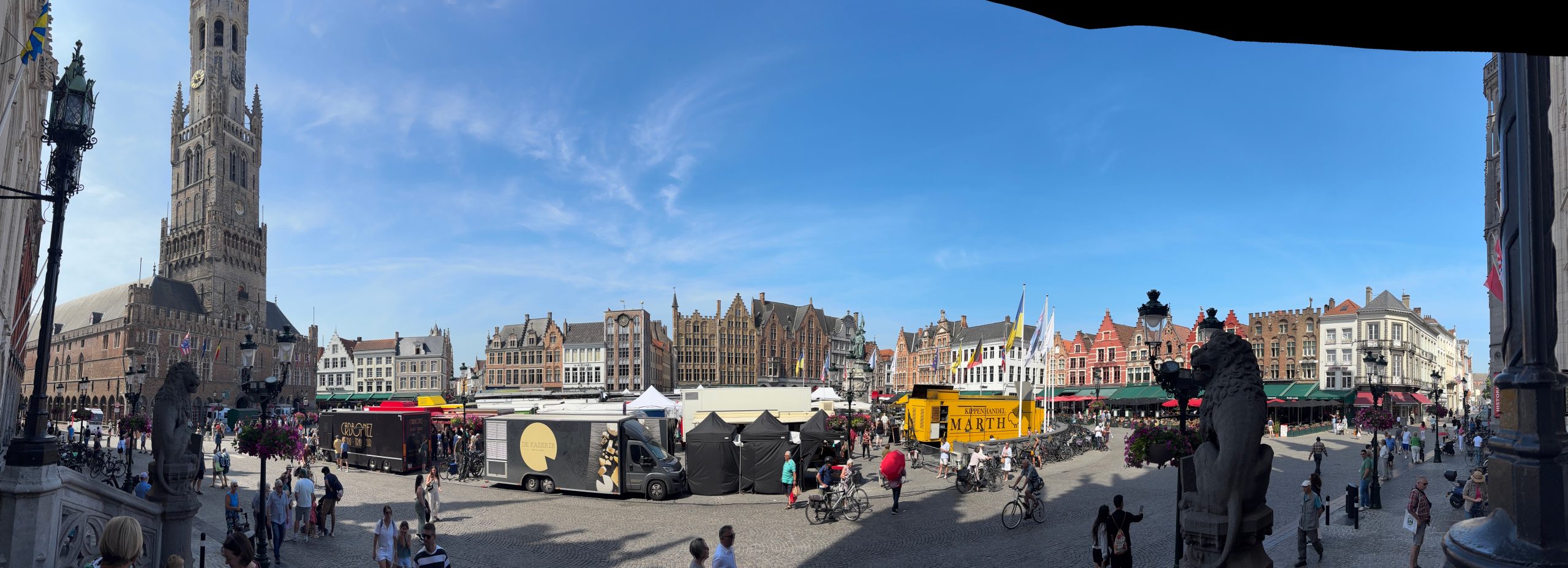
Tomorrow a day trip to Bruges.
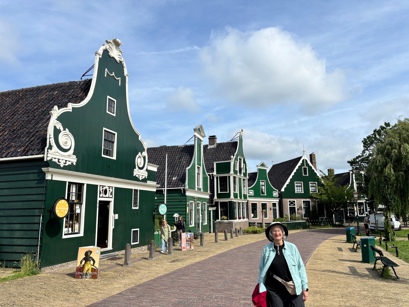
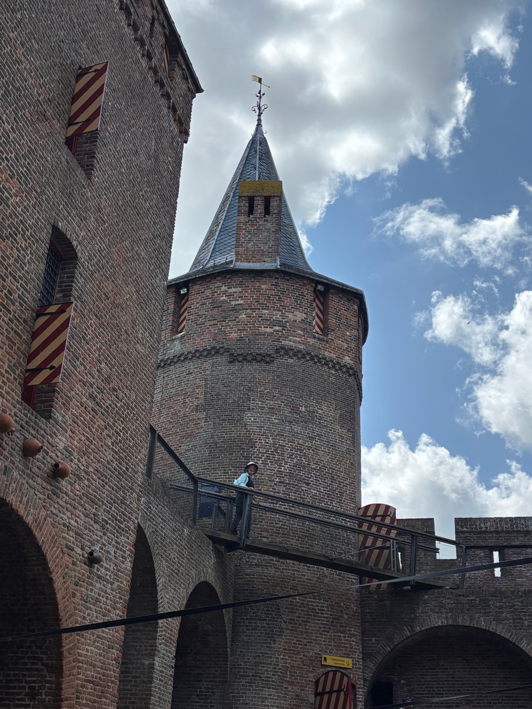
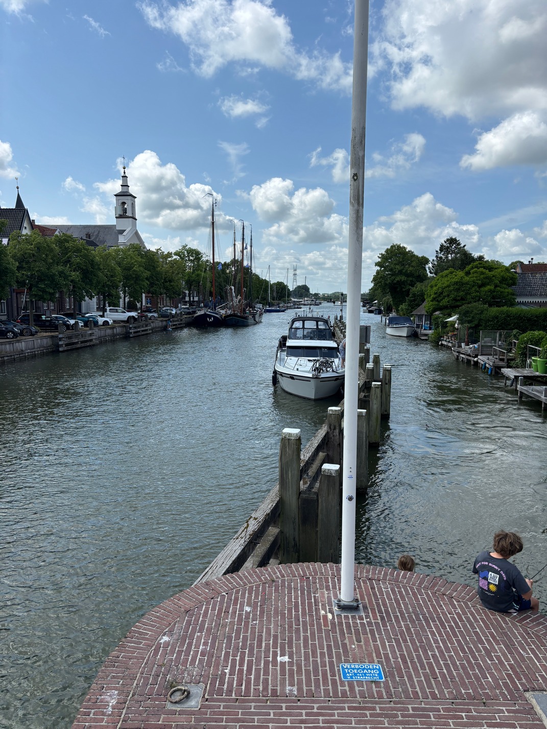
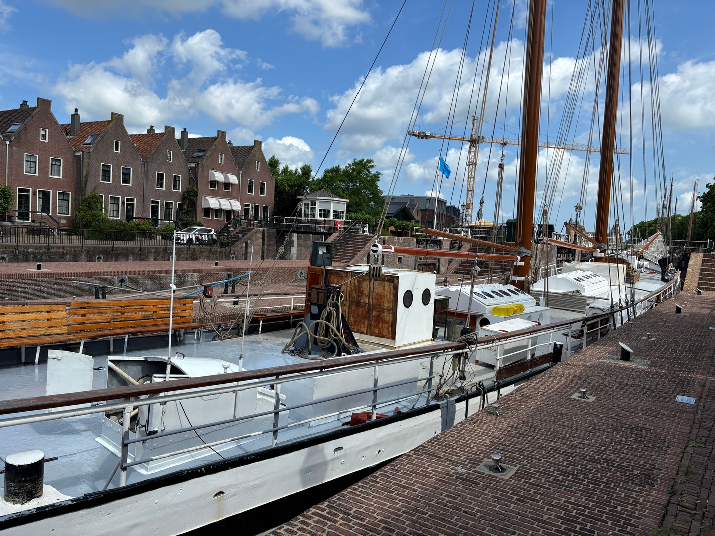
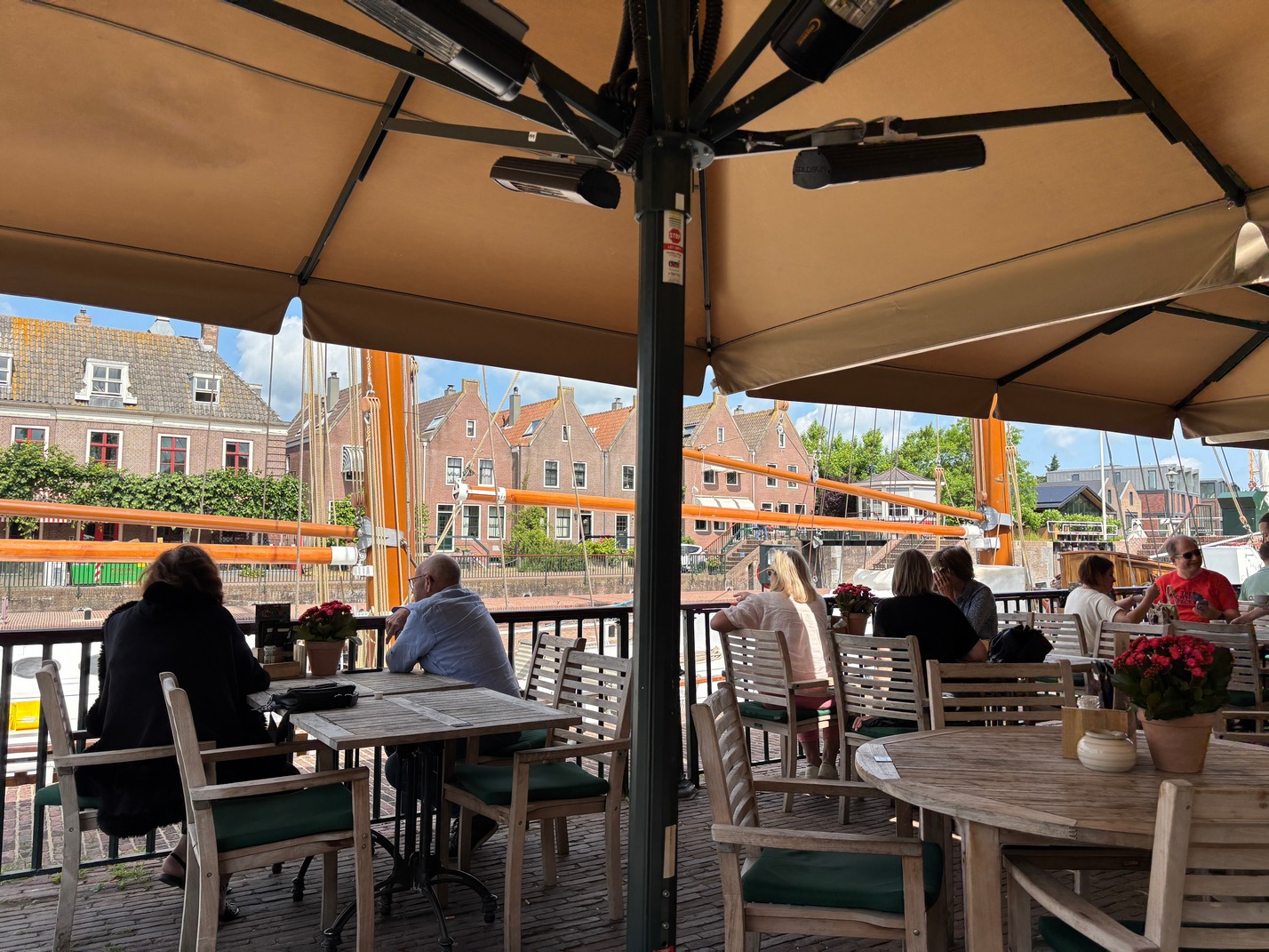
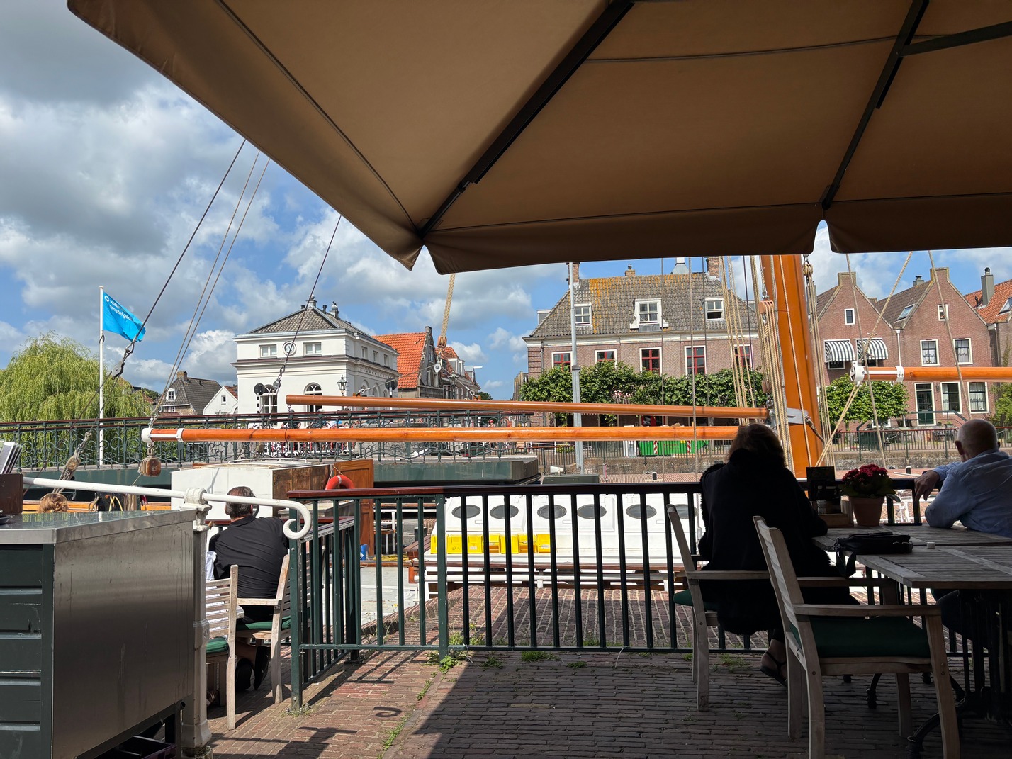
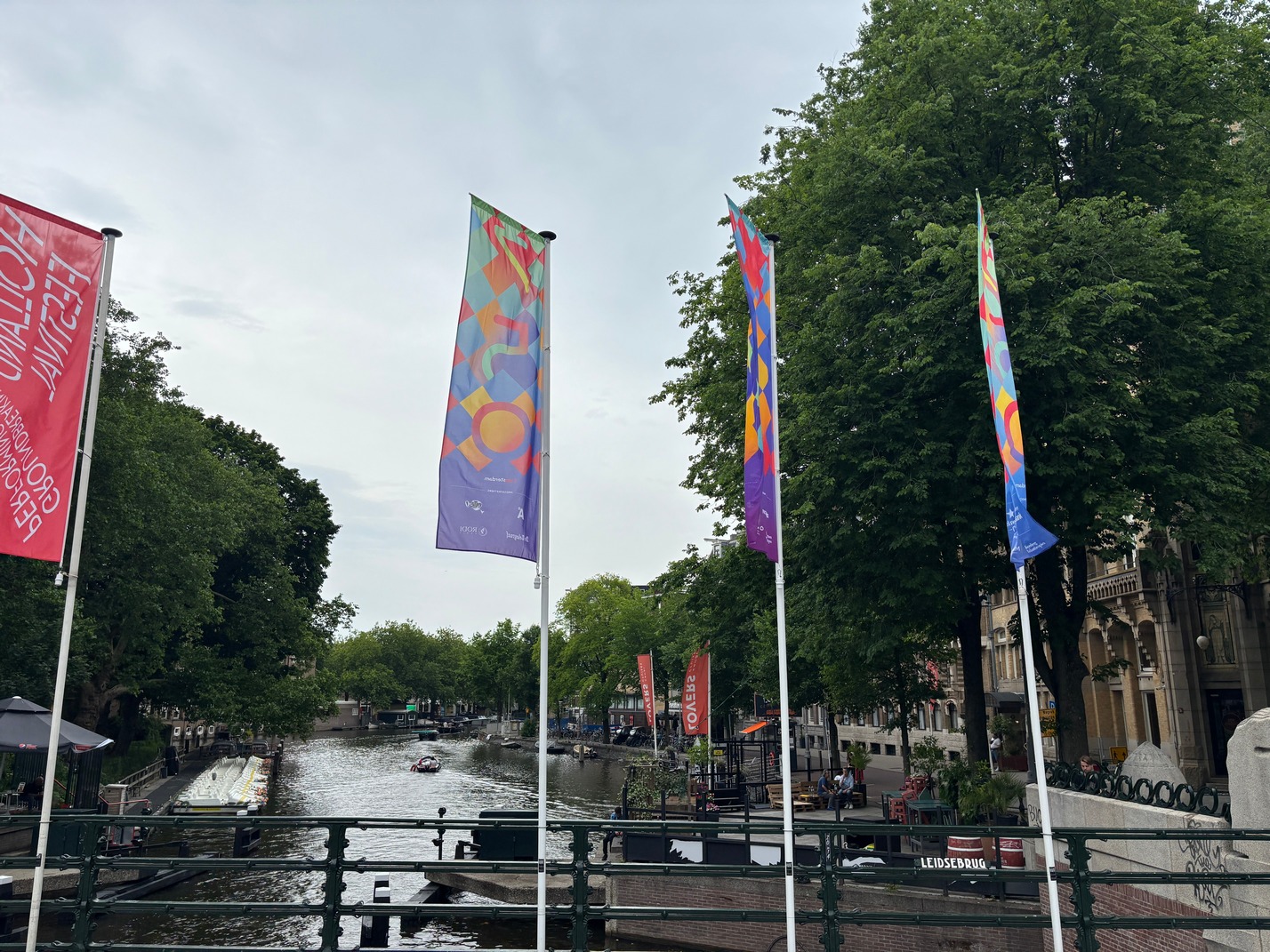
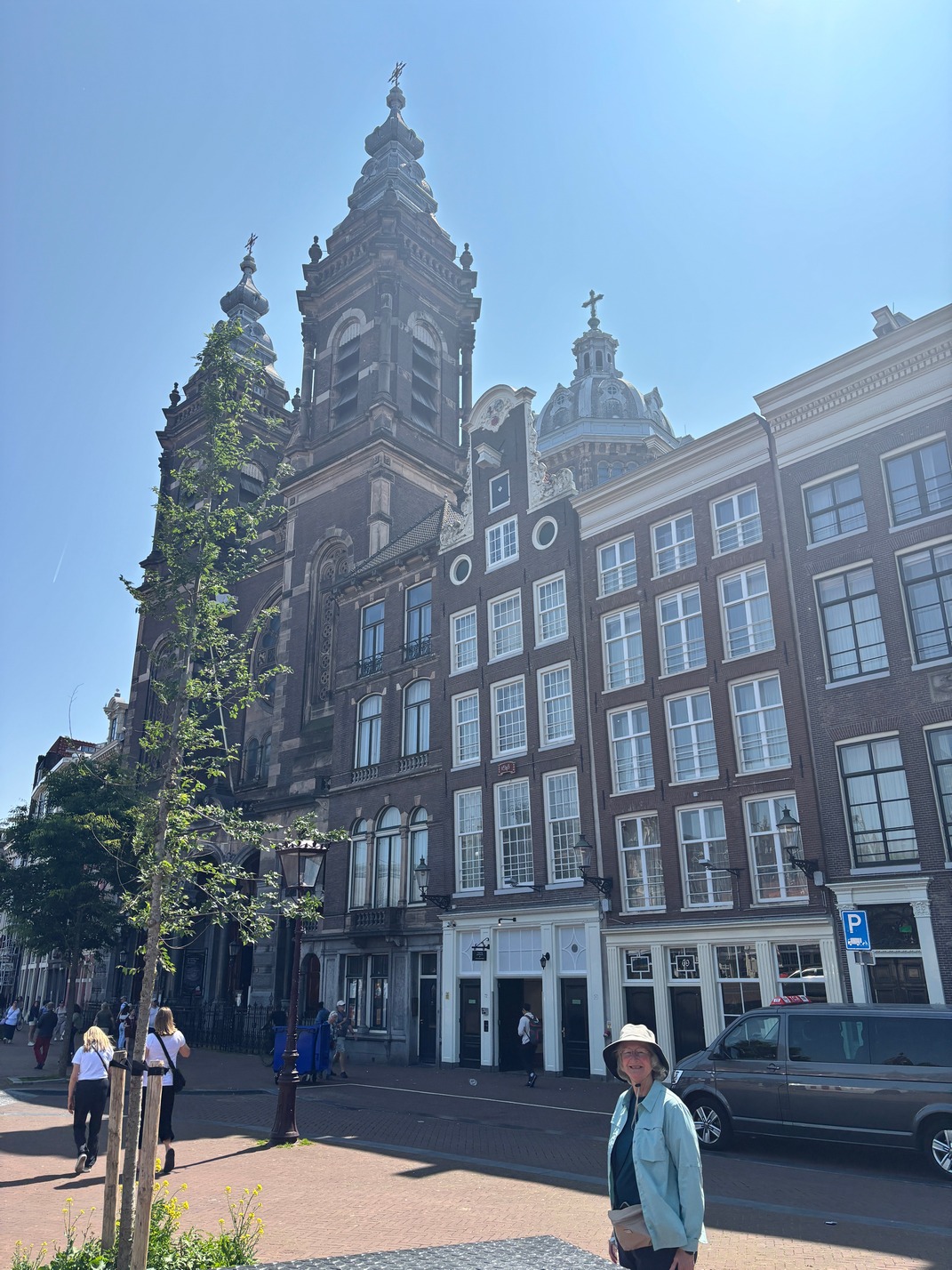
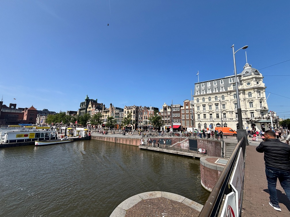
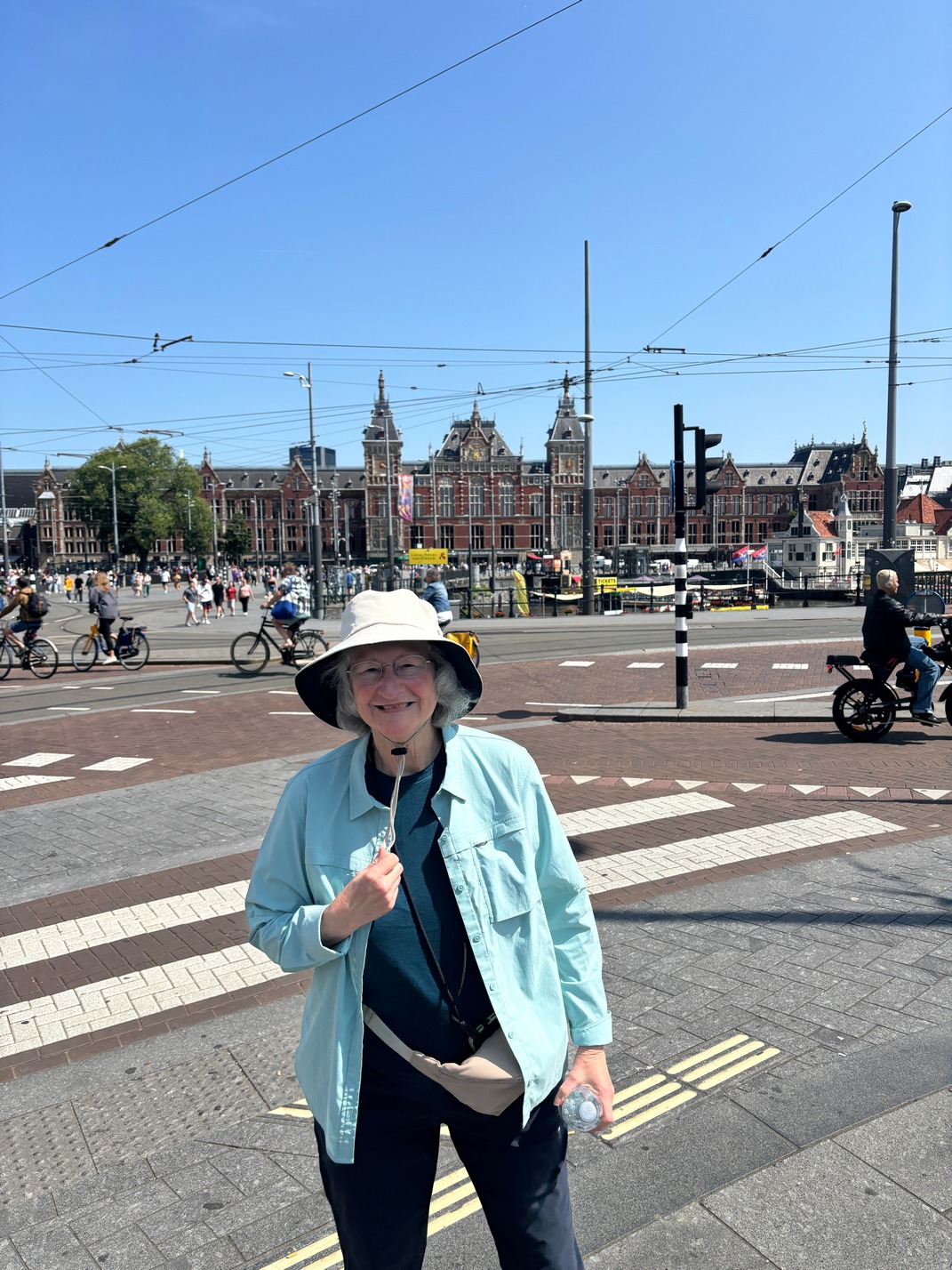
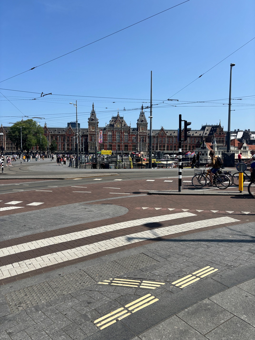
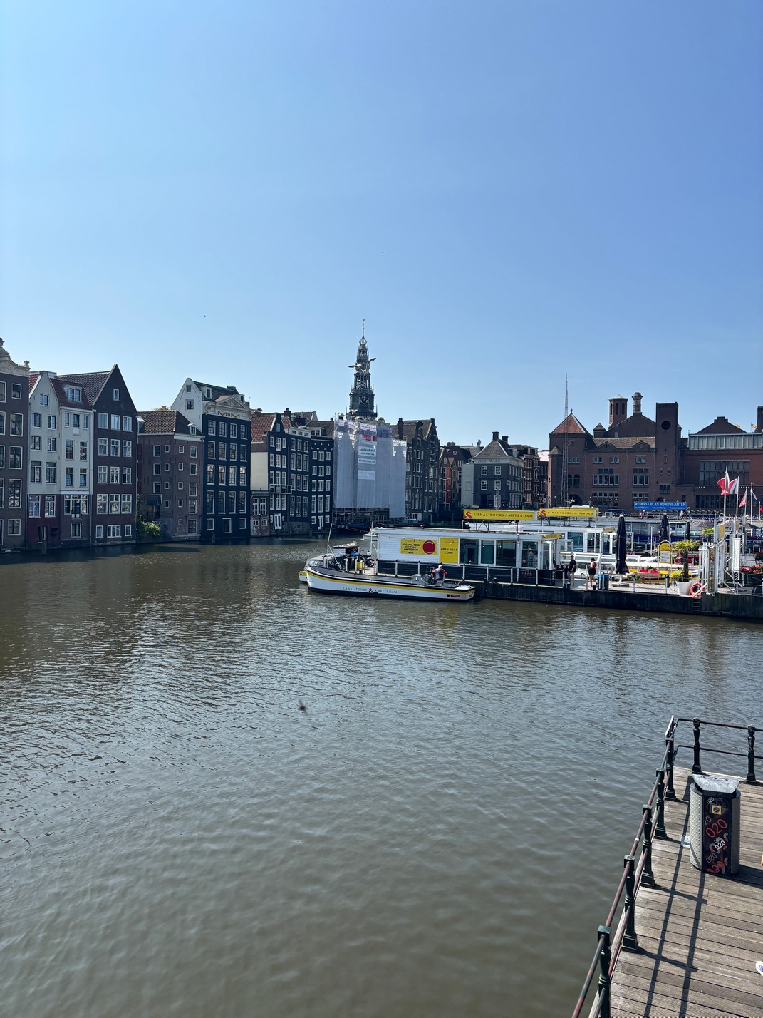
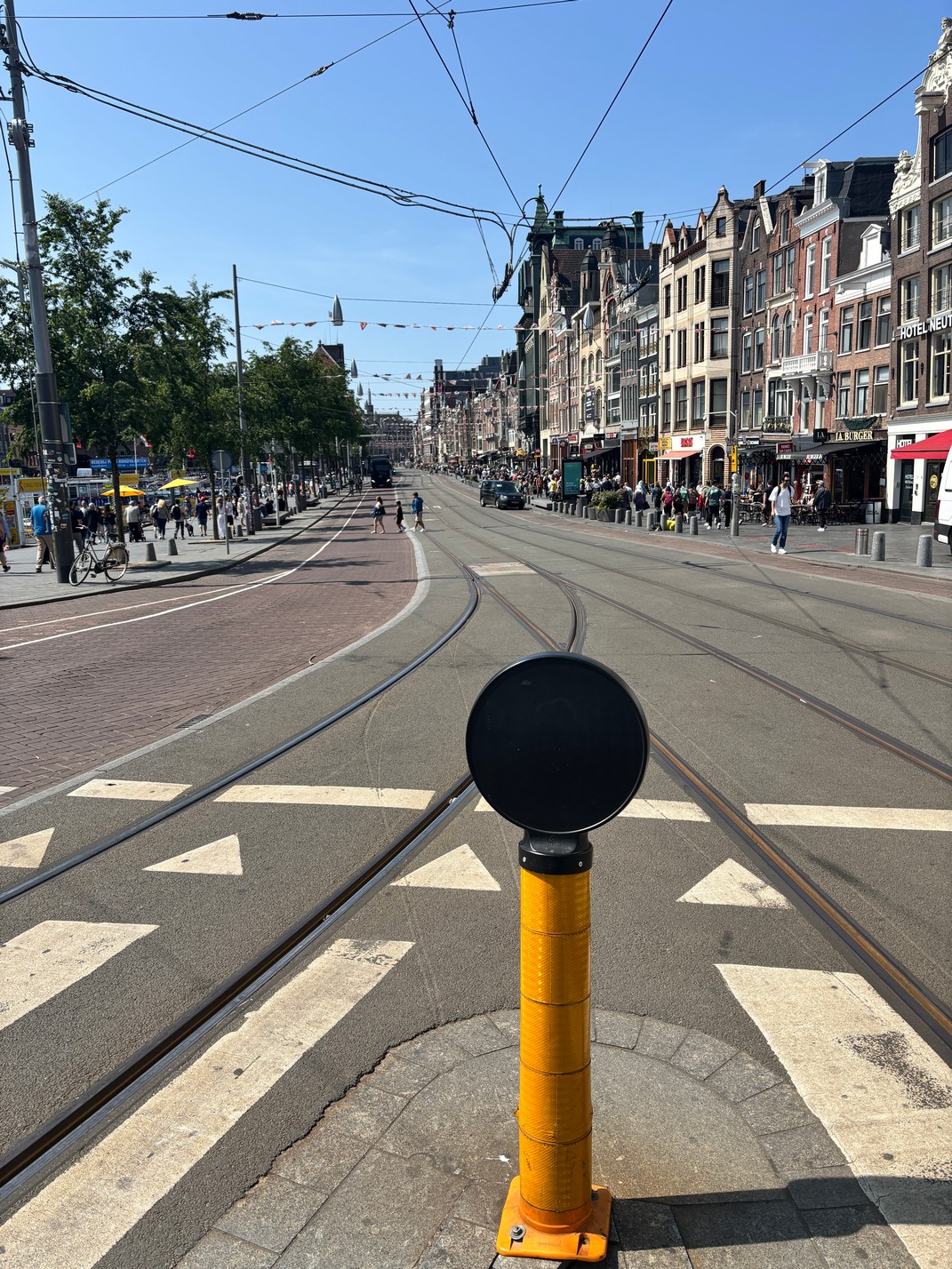
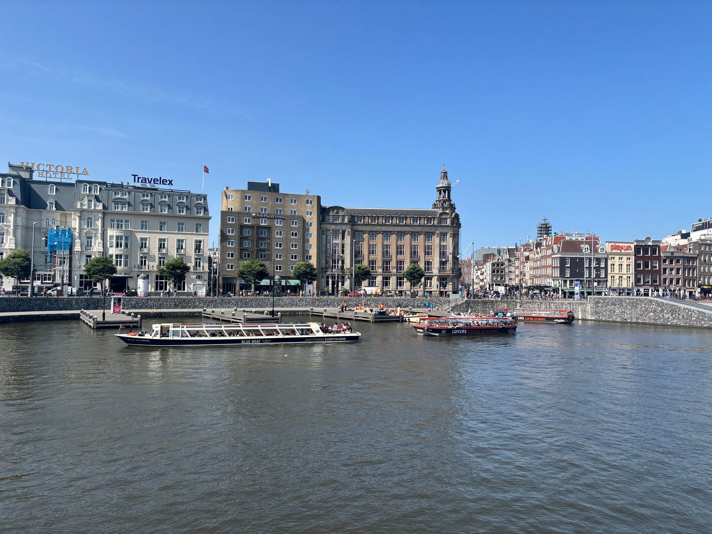
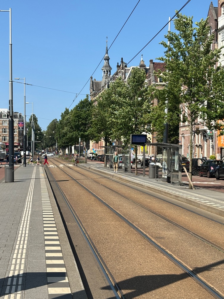
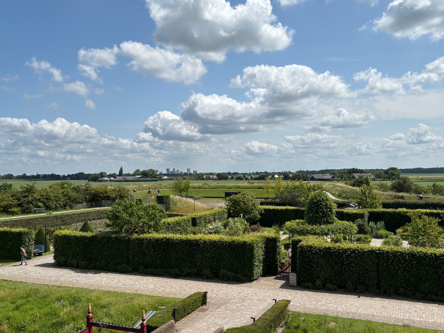
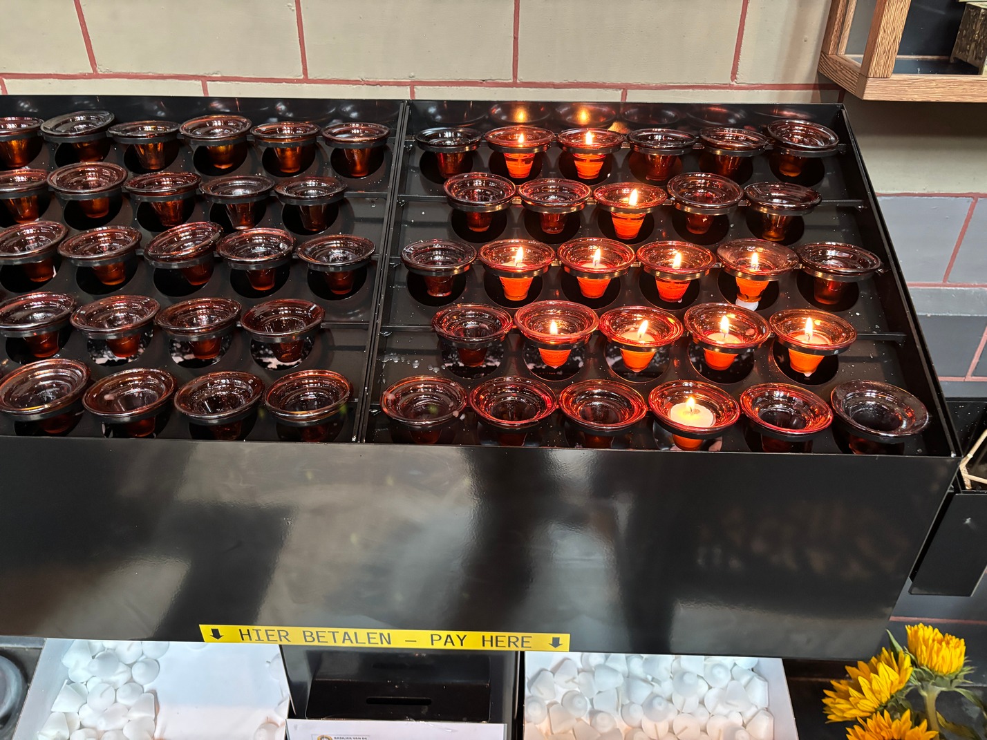
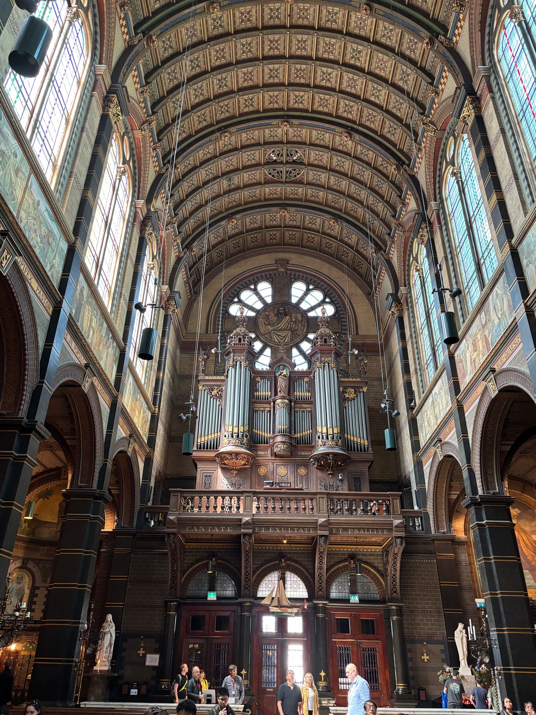
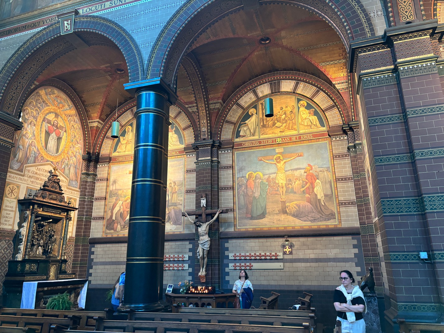
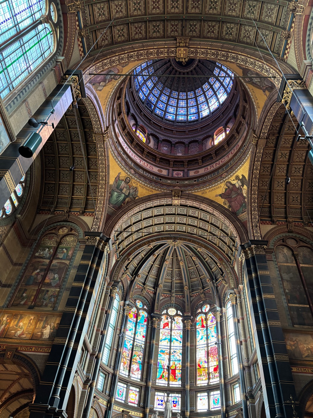
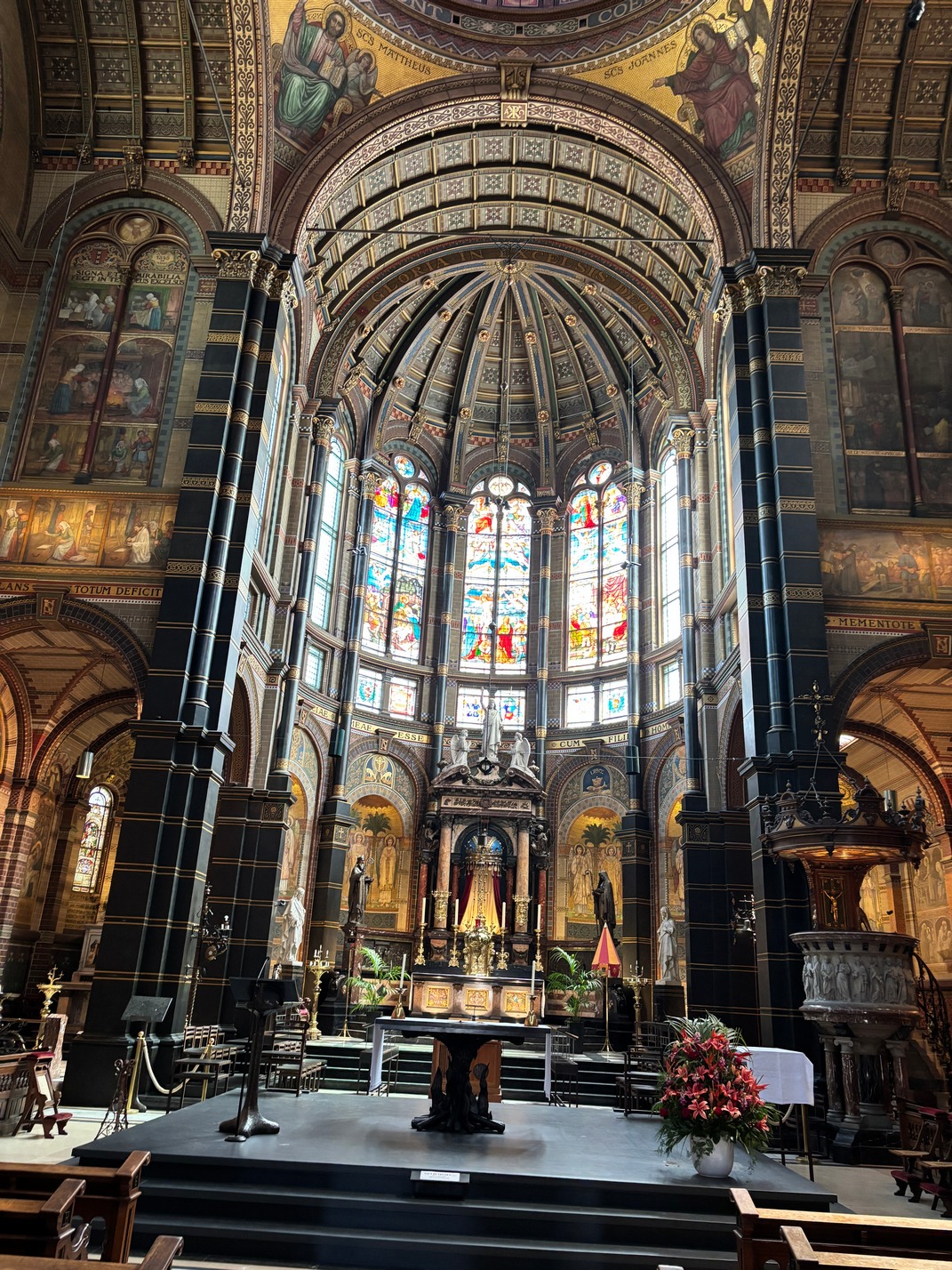
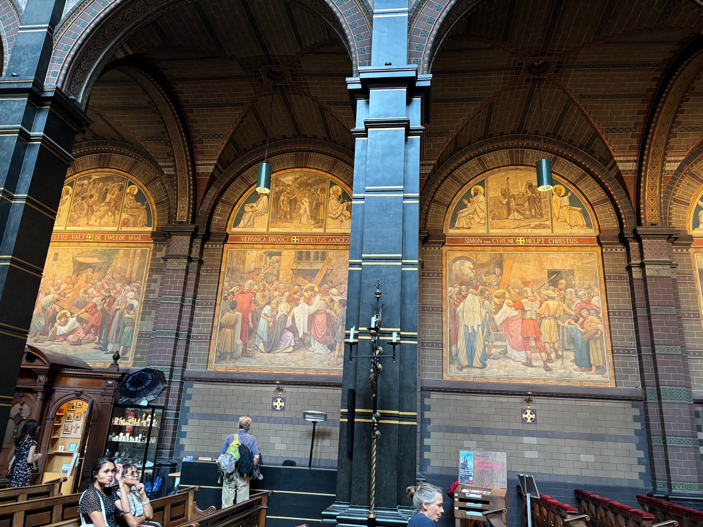
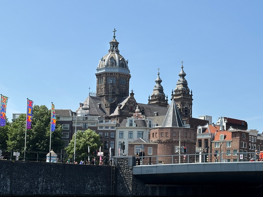
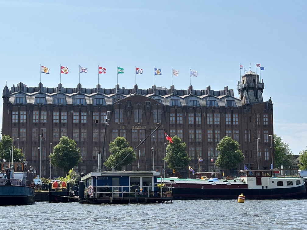
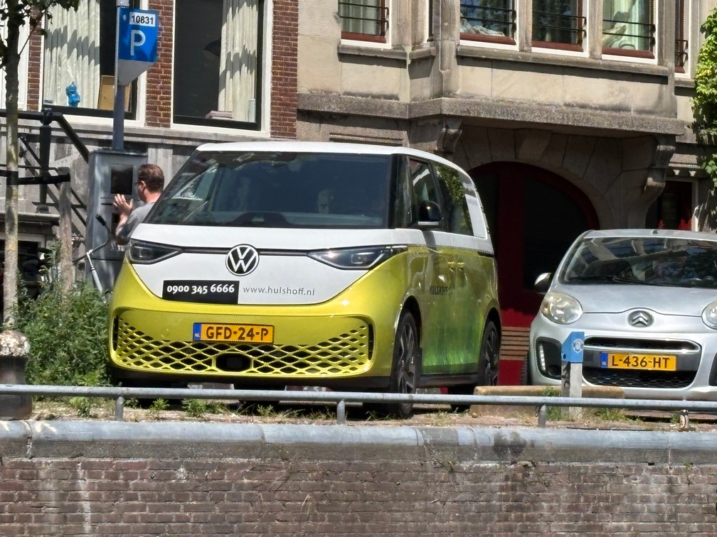
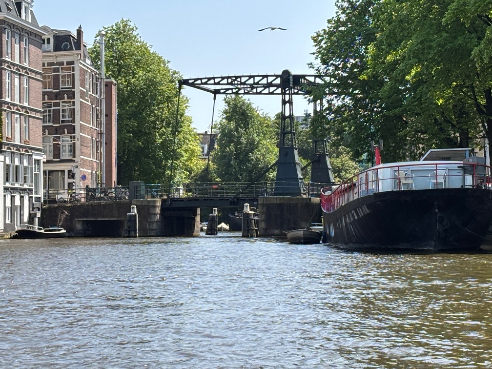
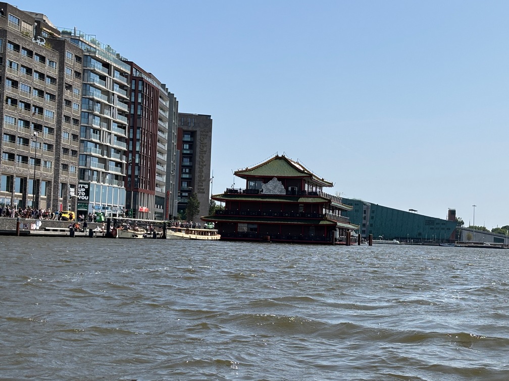
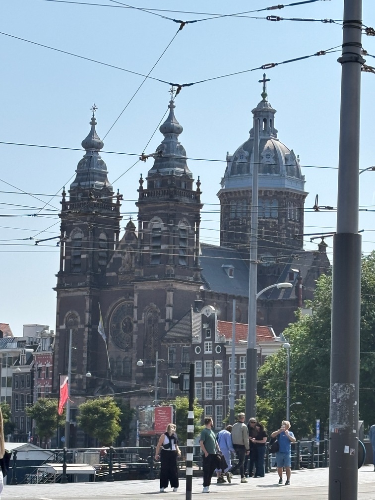
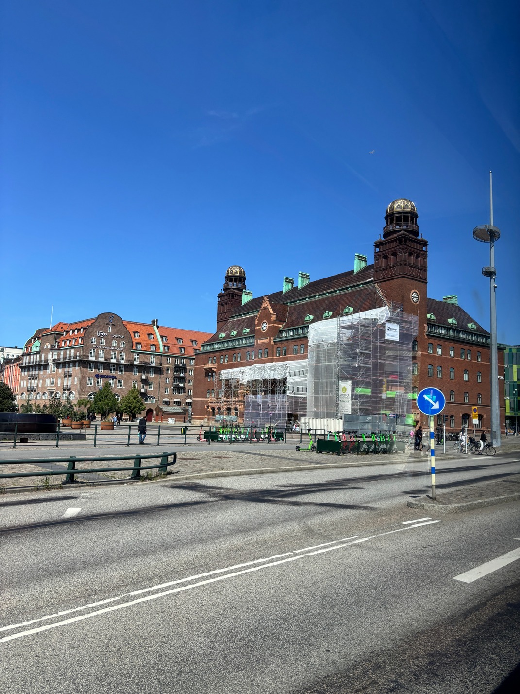
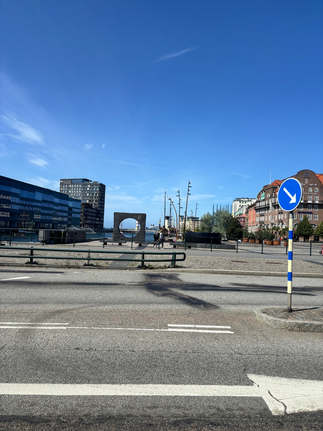
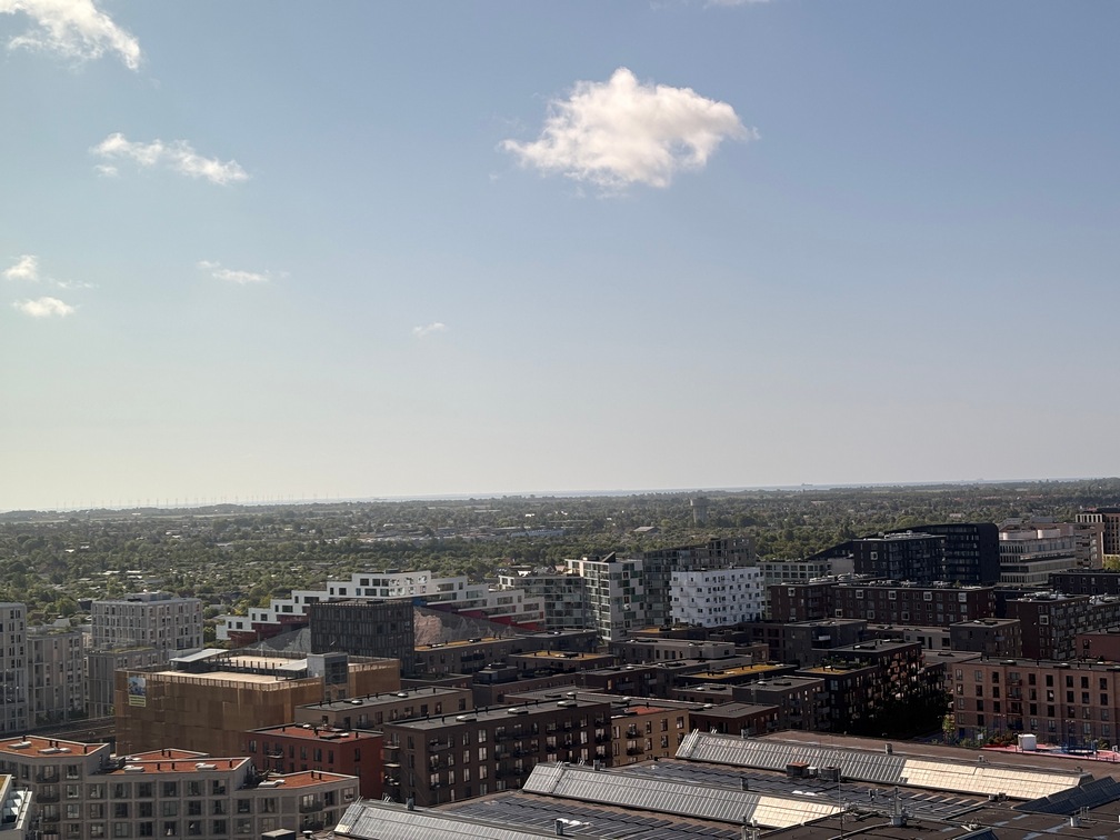
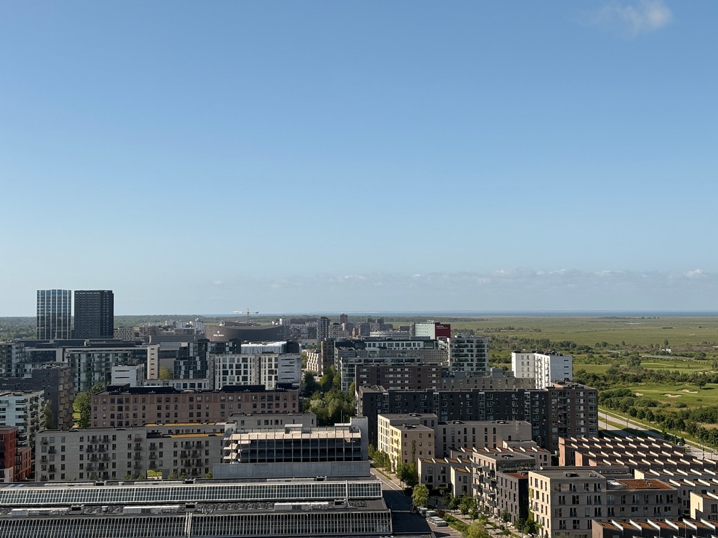
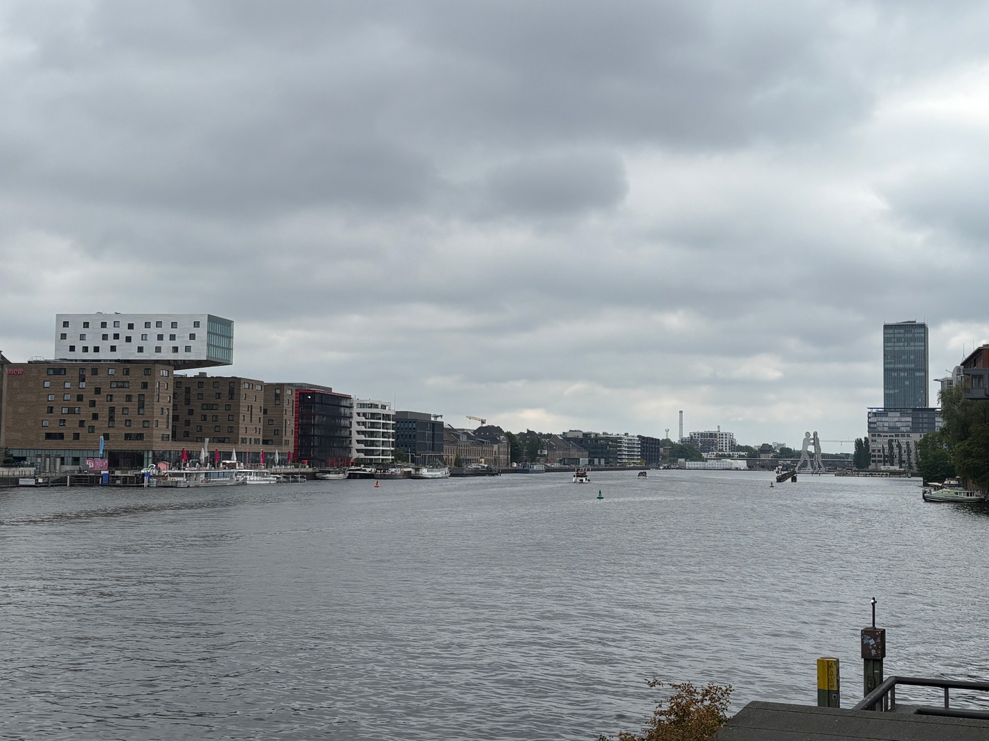
Amsterdam
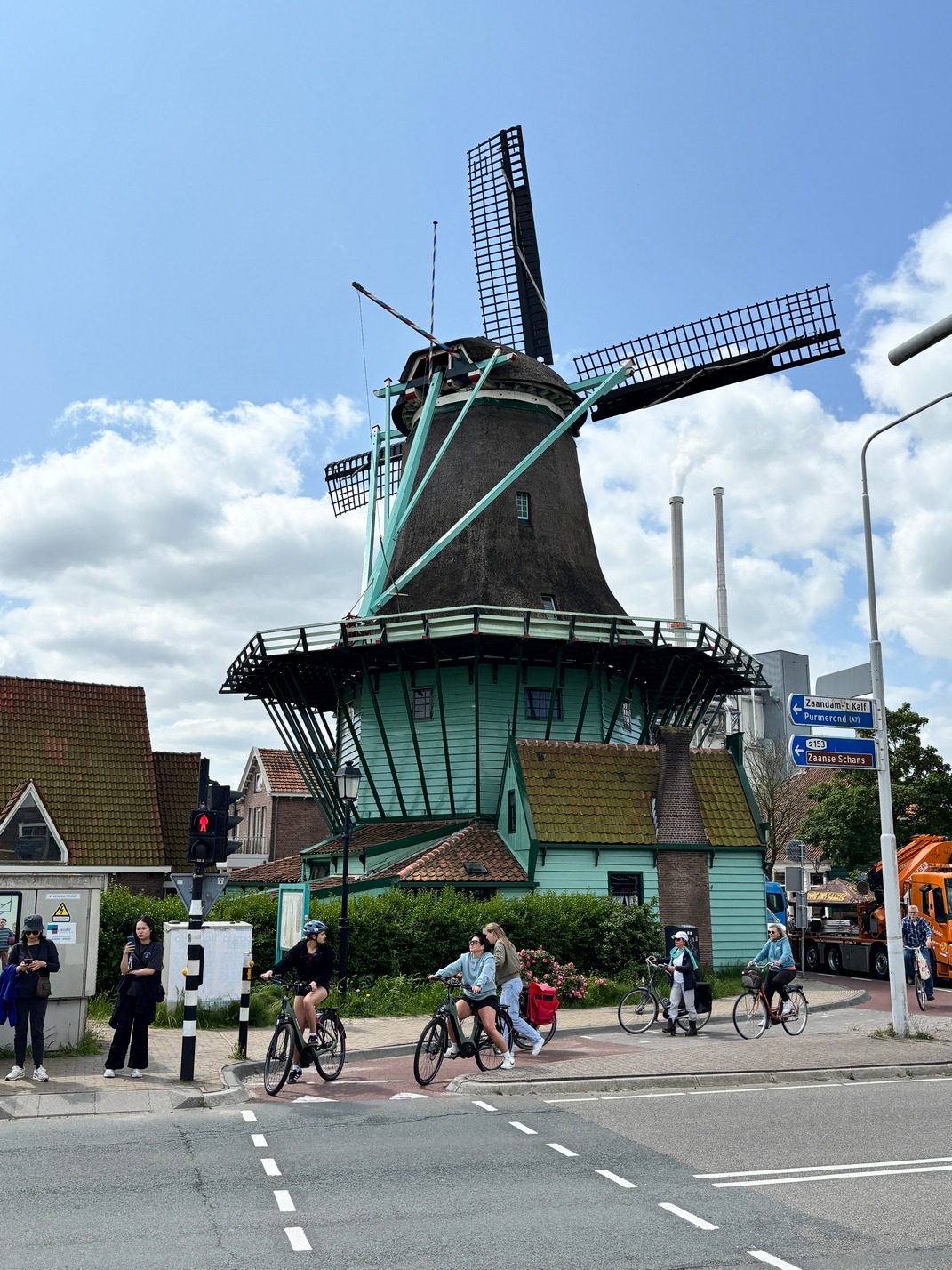
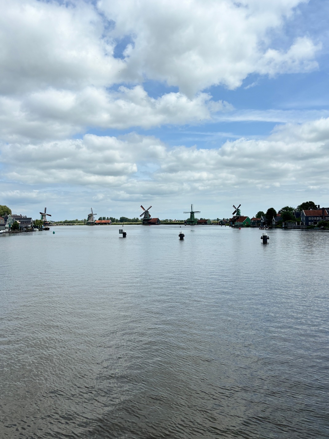
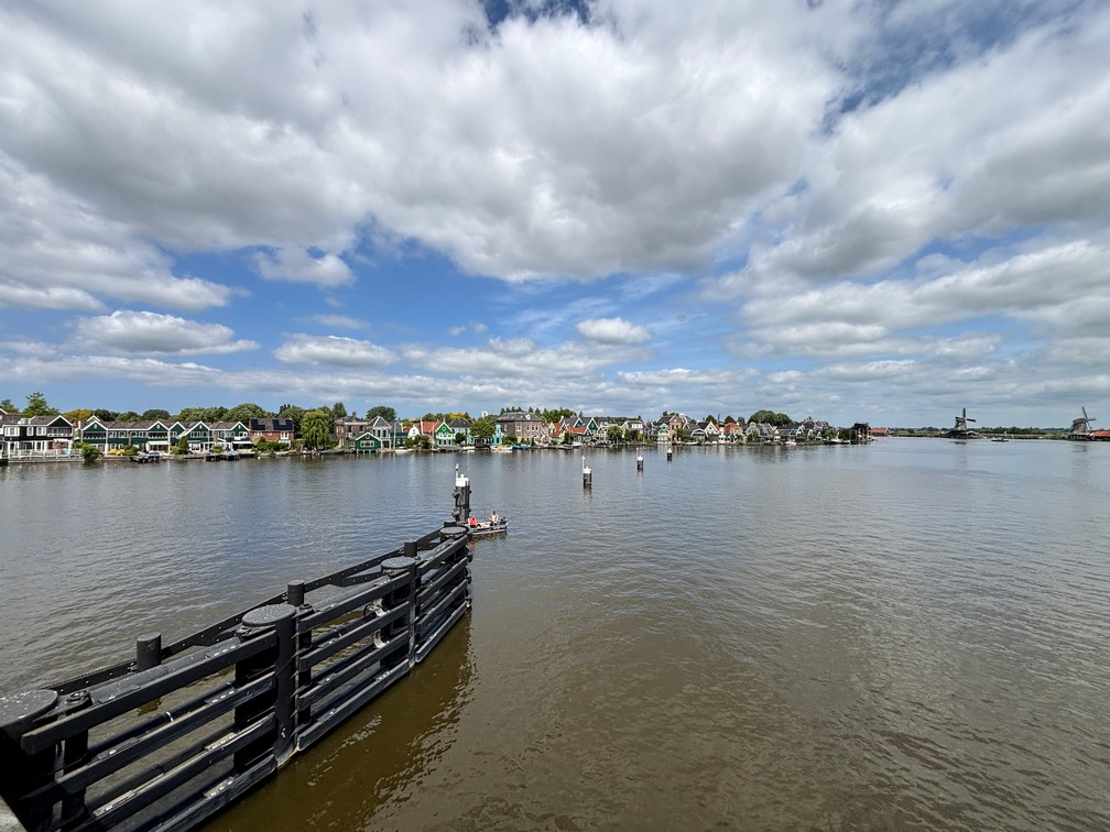
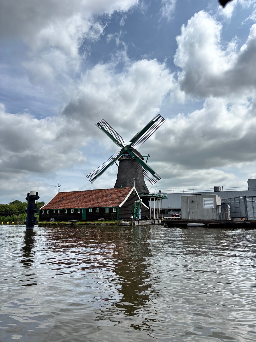
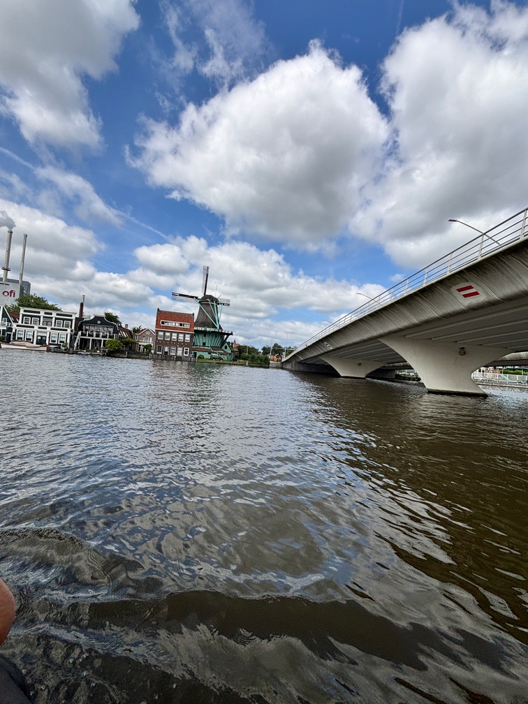
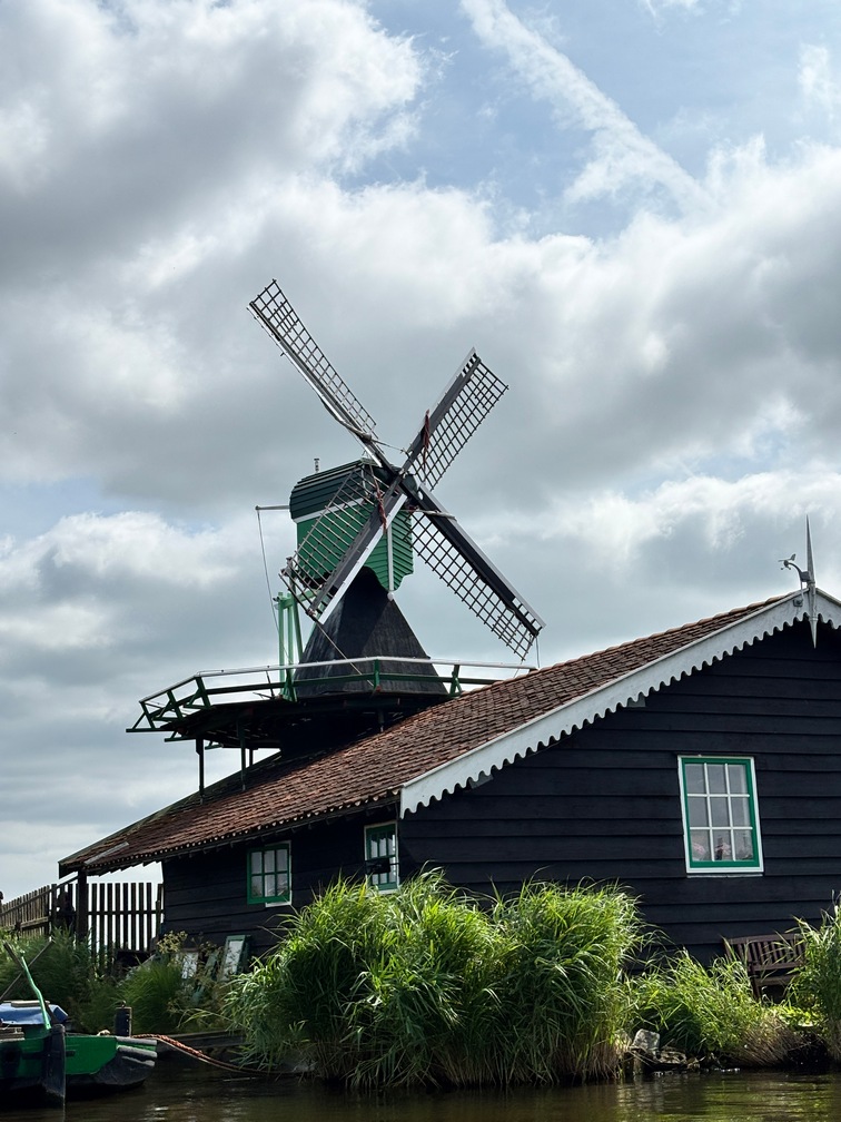
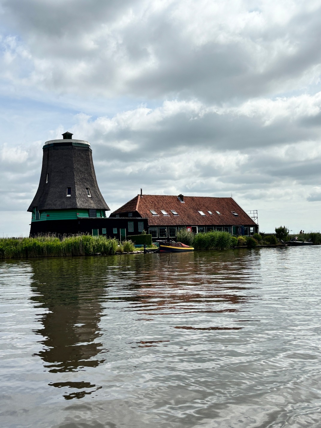
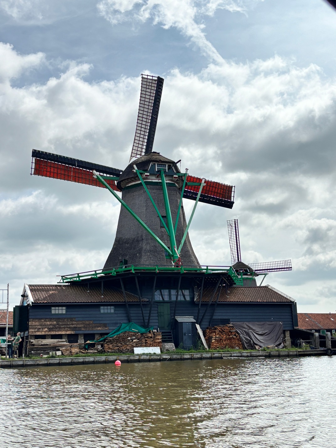
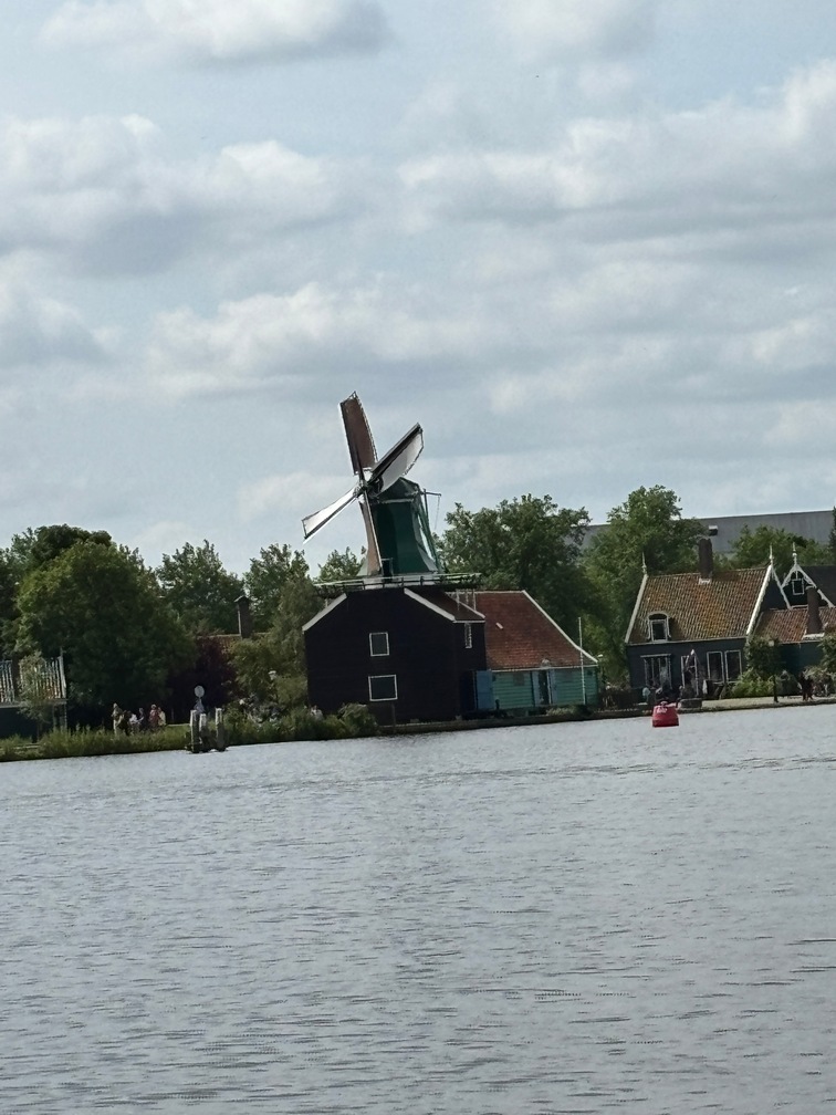
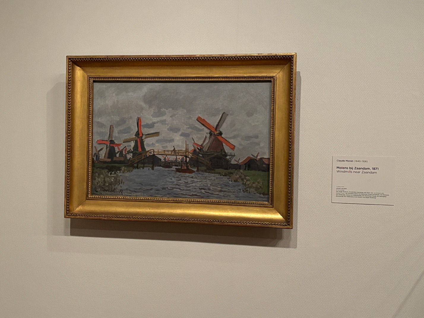
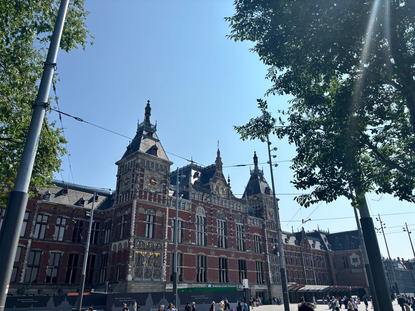
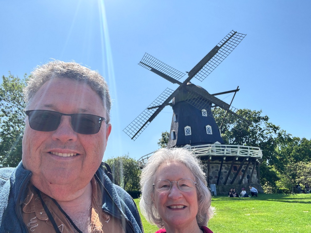
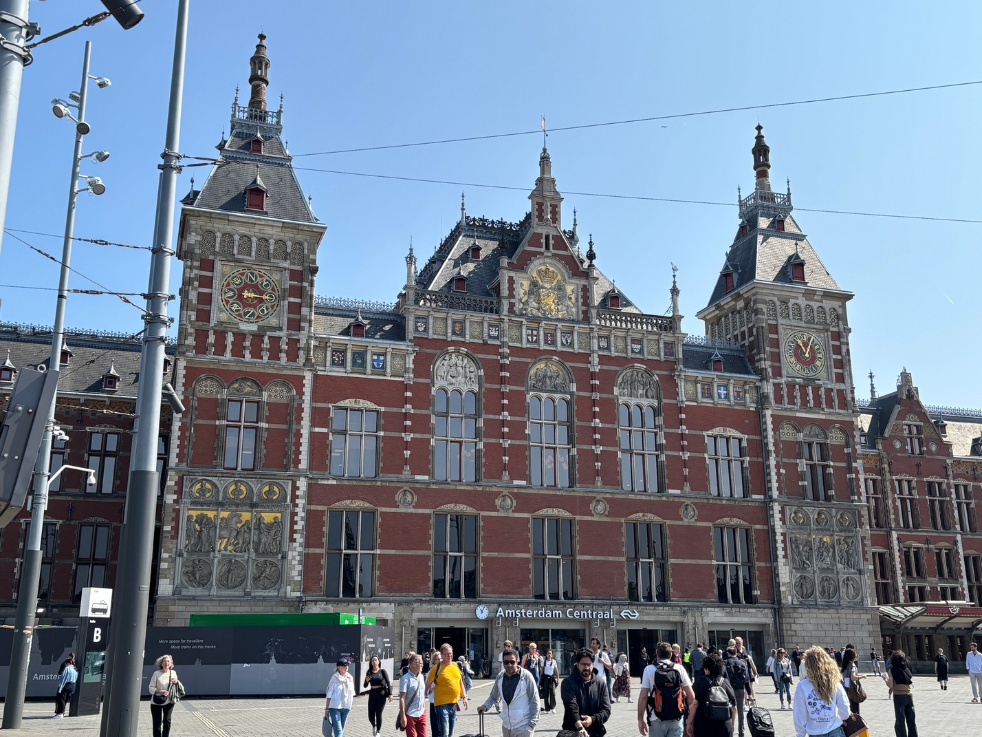 Arrived in Amsterdam Centraal a half hour later than we were supposed to due to a few crossing signal issues along the way. But it was better that trying to get here the following day when all the trains in the Netherlands were canceled due to a nationwide strike for the whole day. We arrived in the Centraal station and went to the Metro station and took one train back toward the way we came to get off at Amsterdam Amstel station. We paid via tap 2 pay for the metro ride as unbeknownst to me we could have just taken a free regional train back using our Eurail Pass. I only realized that when we headed out Wednesday morning toward the Zaans Museum and the windmills along the Zaans River. We took a train to Zaans and it was right from the platforms the Metro came in on. We used our train pass to get into the platform area and on the way back here we needed to use special gates to get out of the station so our eurail pass would work to let us out of the gates into the rest of the station. Most of the gates are for using the Metro but probably 8 were for the trains. As we exited our pass QR Code wouldn’t let us leave, and then a passerby mentioned the train gates were over to the right side. Those let us out. They were marked but it wasn’t obvious to us till after that passerby mentioned we had to use the other gates to get out.
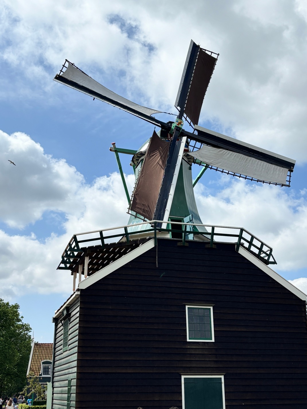
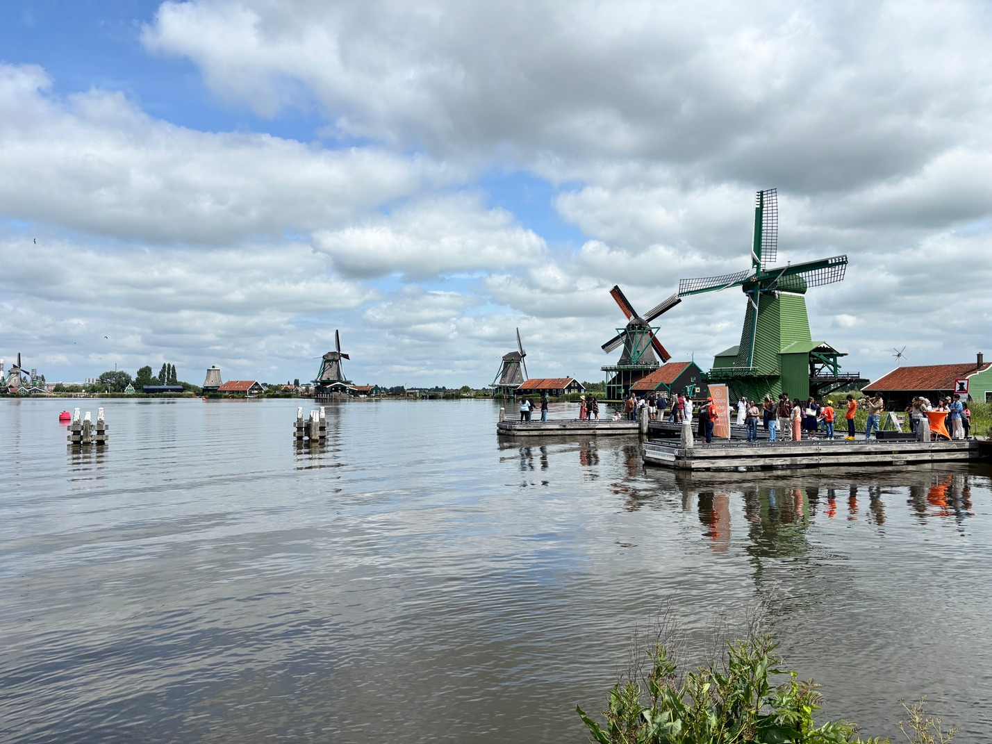
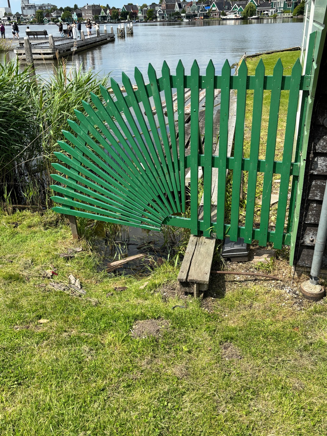
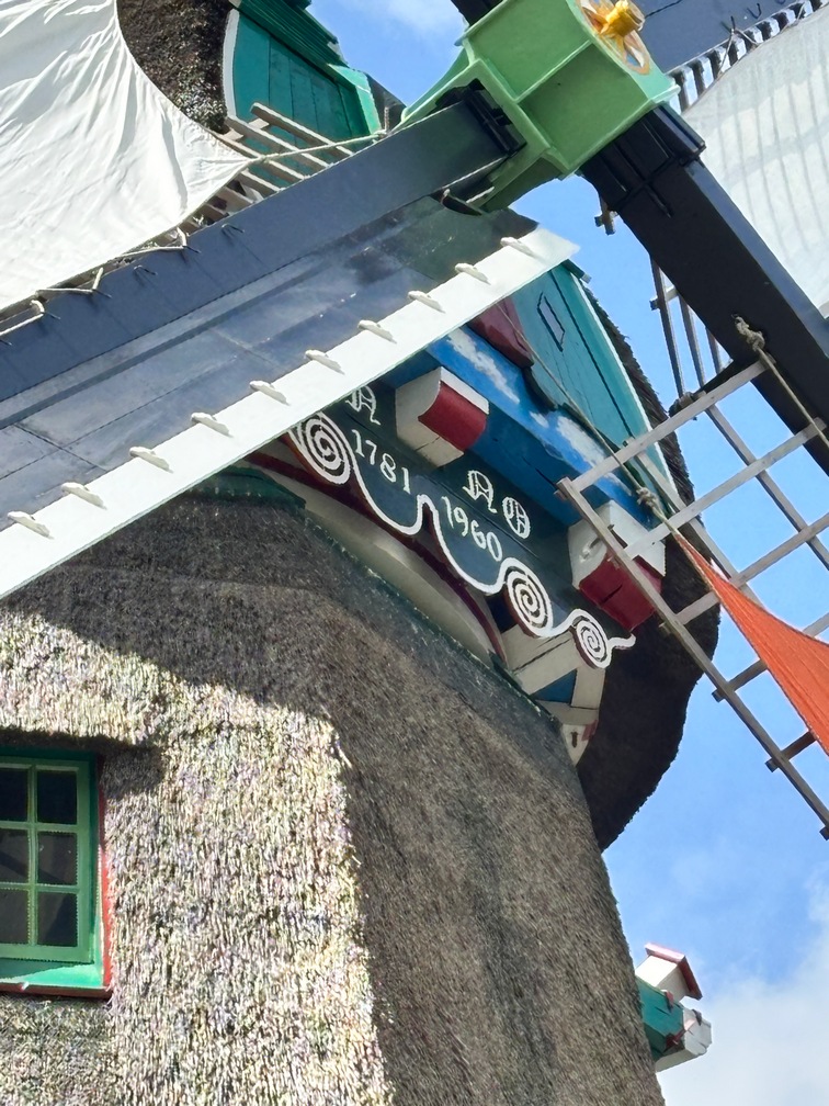
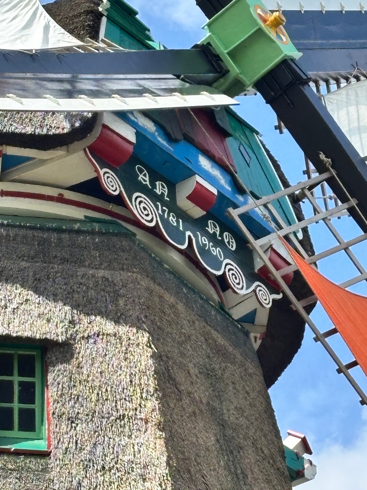
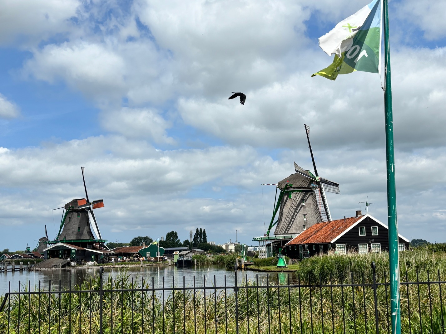
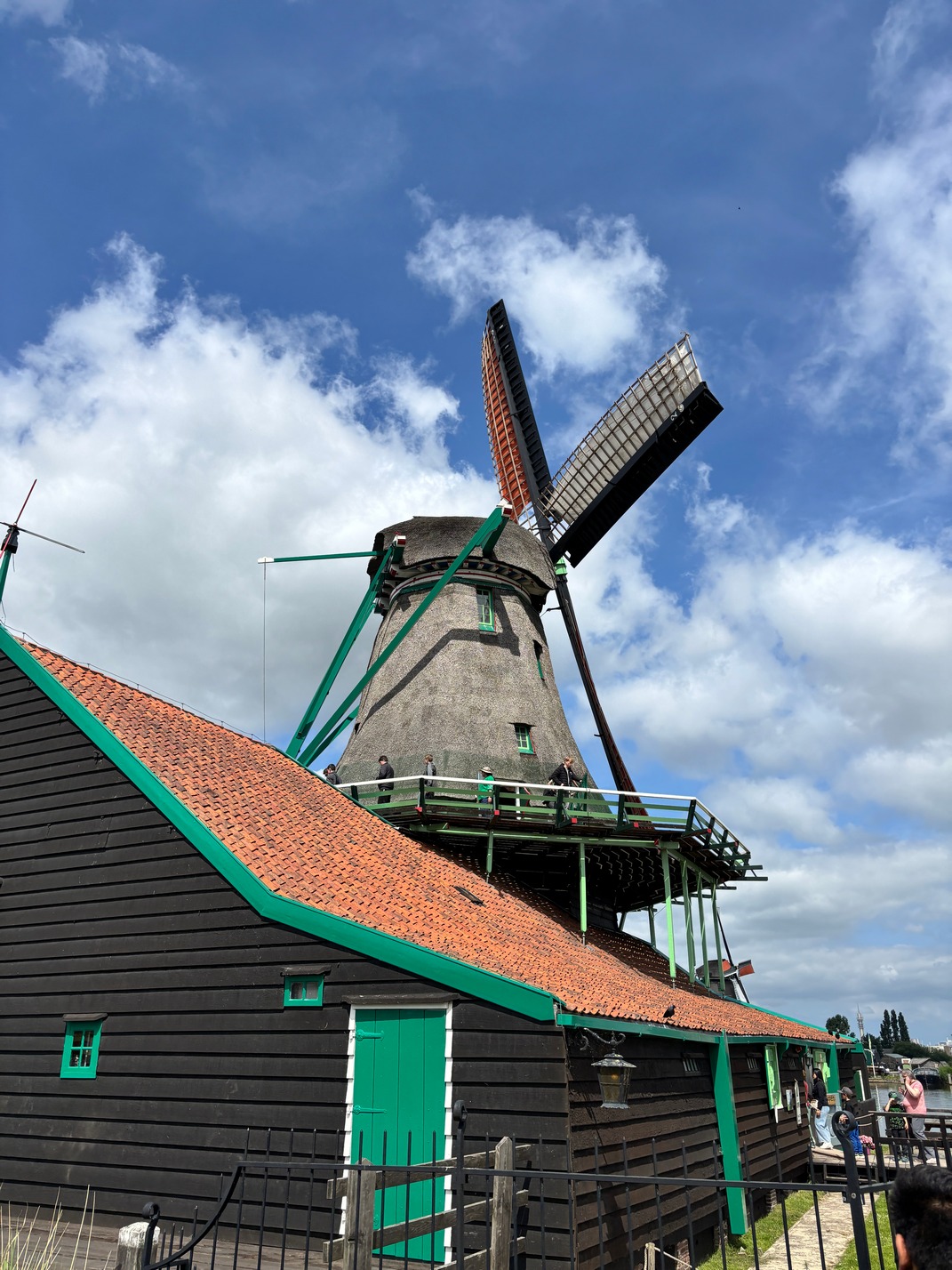
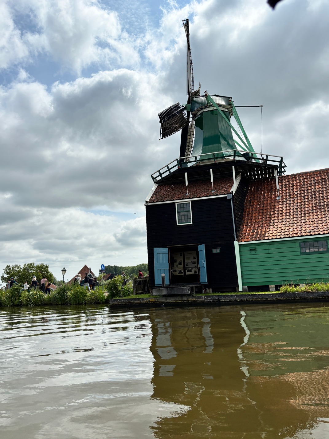
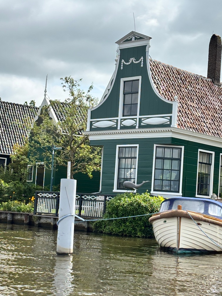
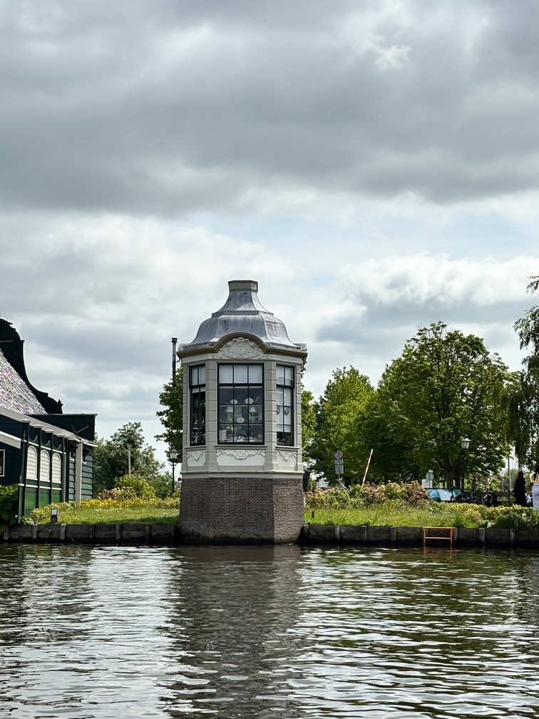
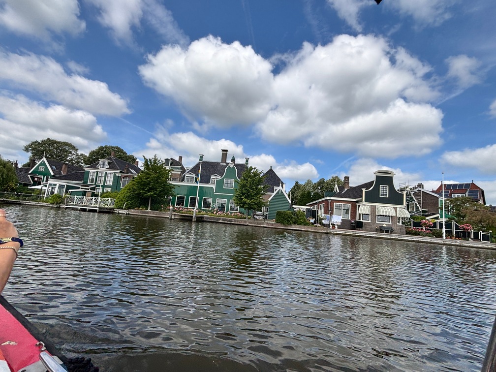
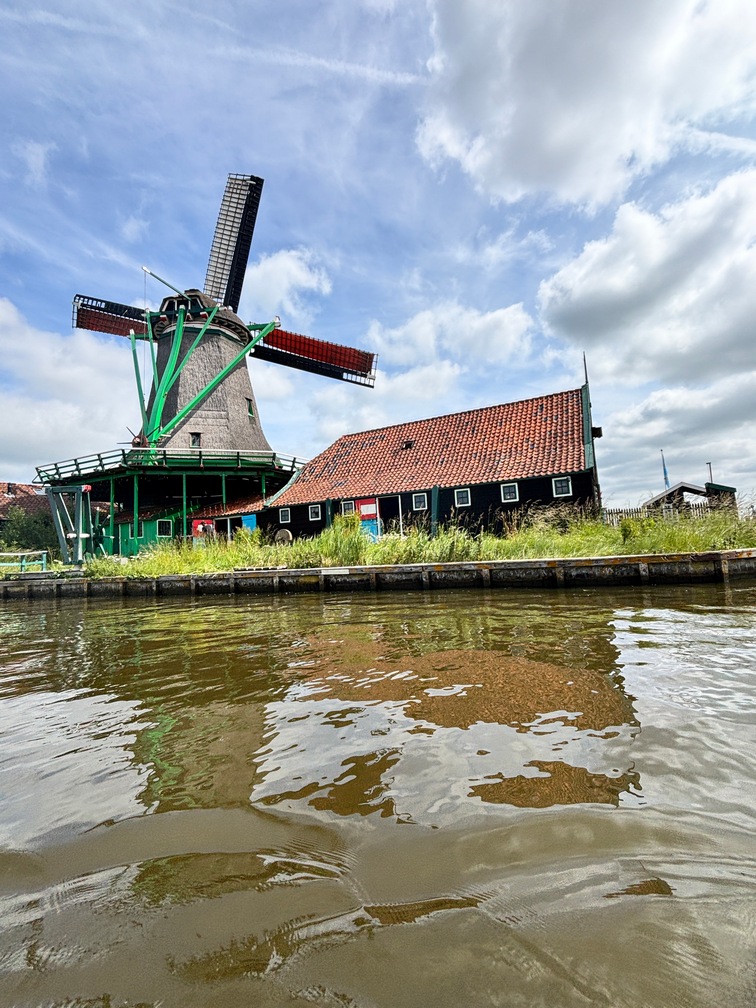
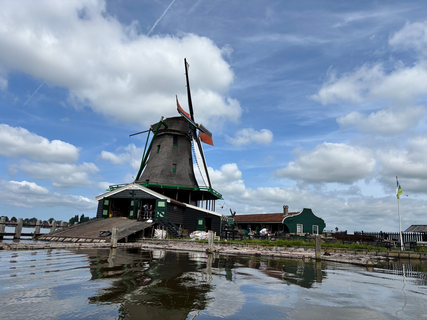
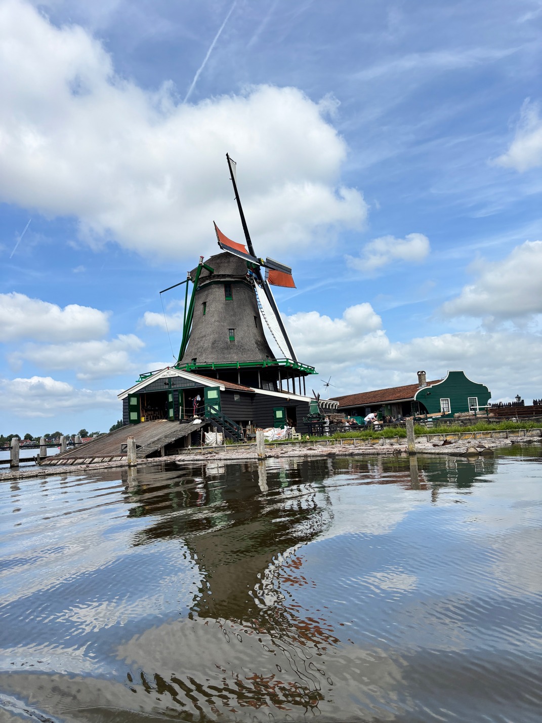
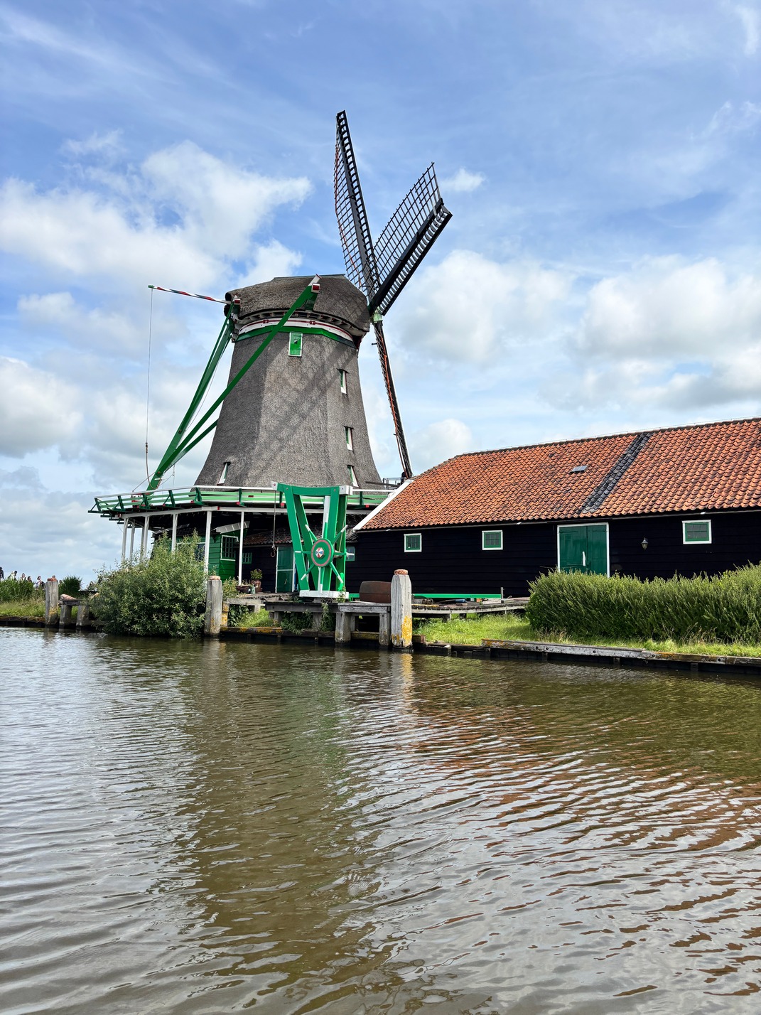
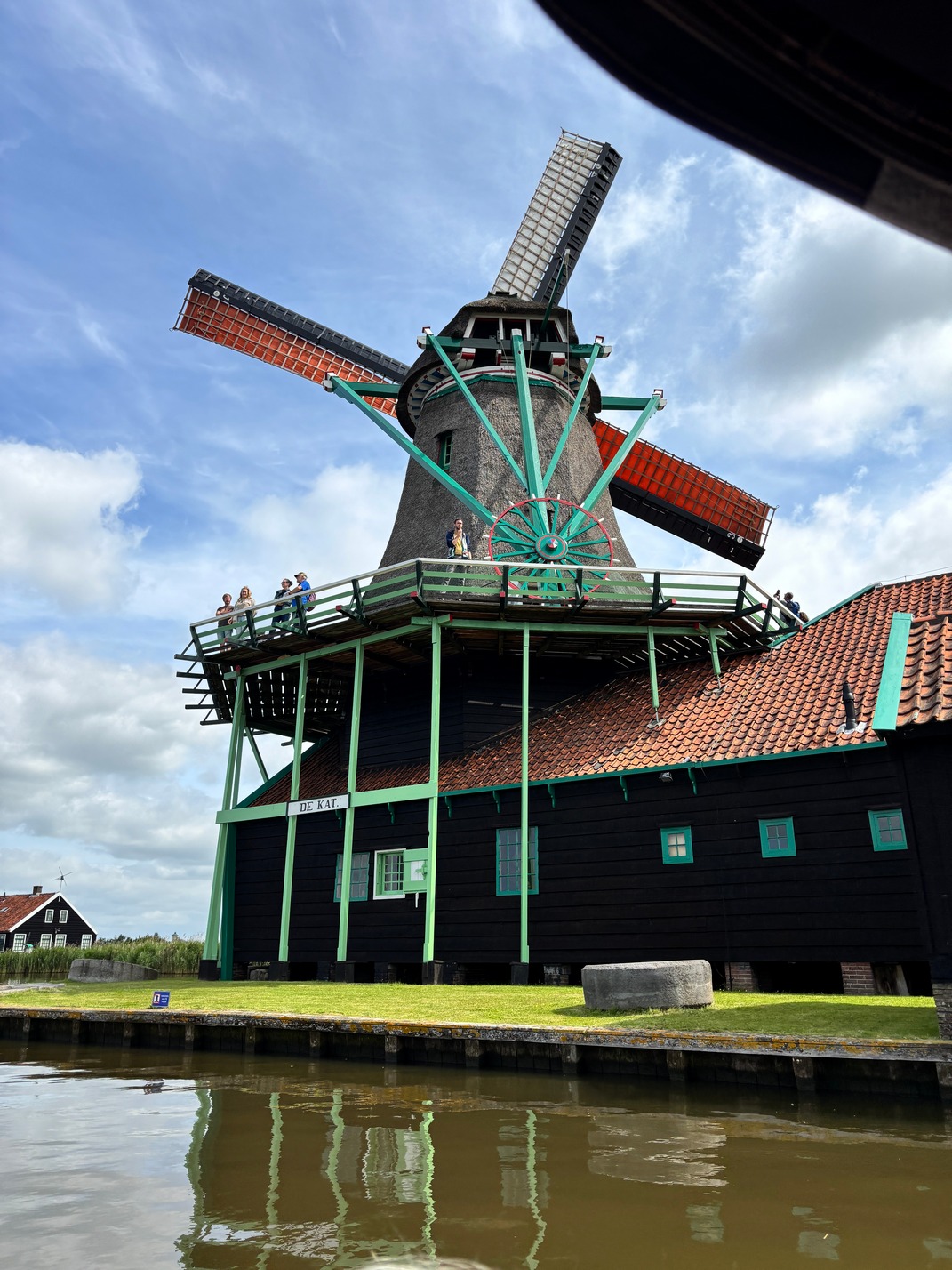
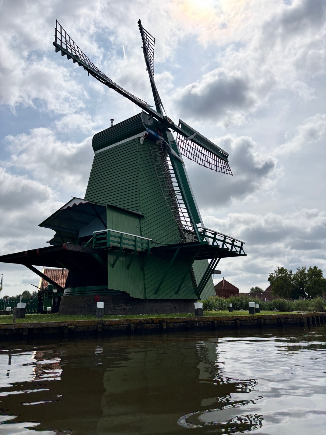
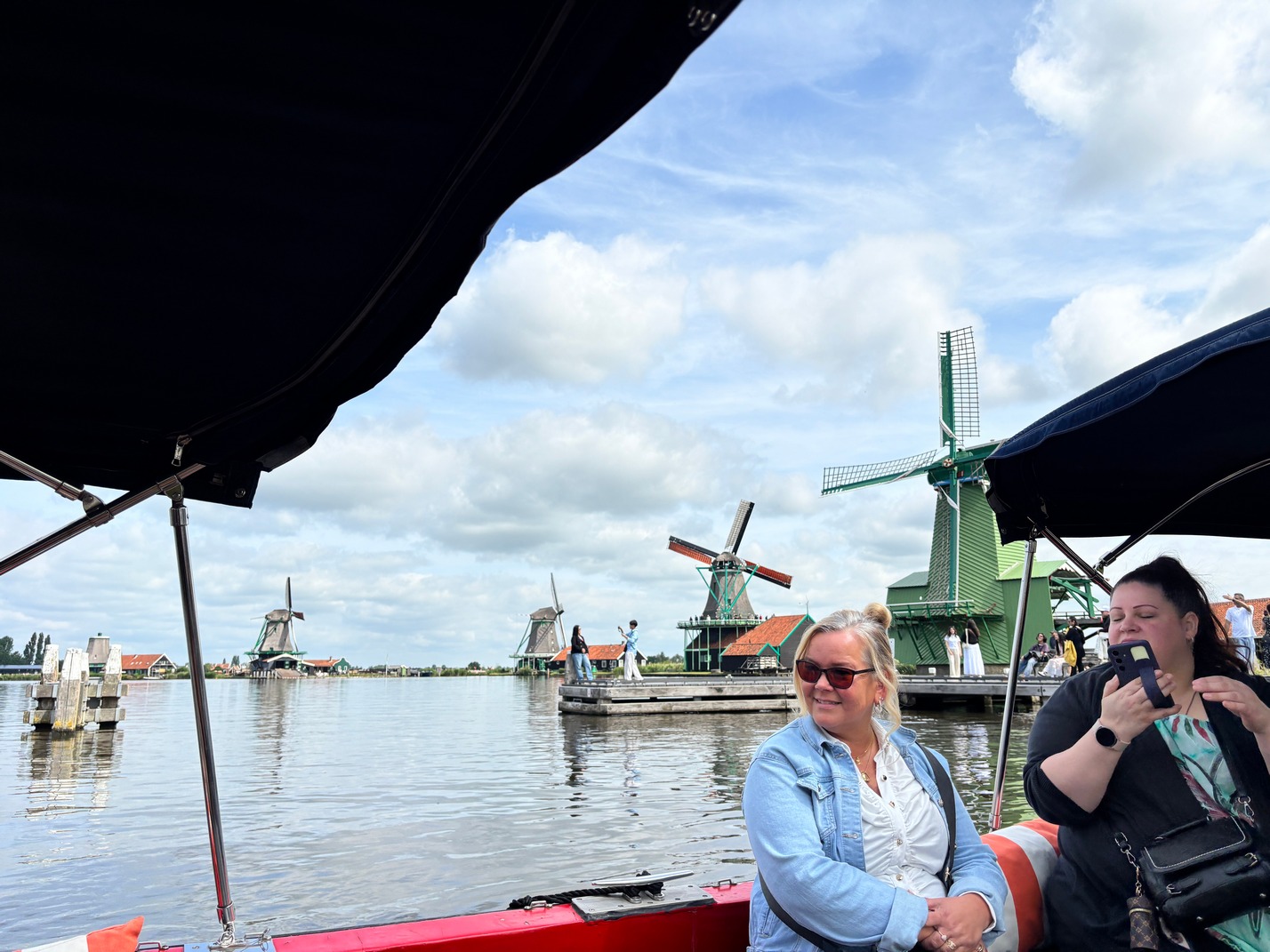
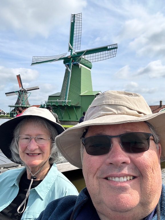
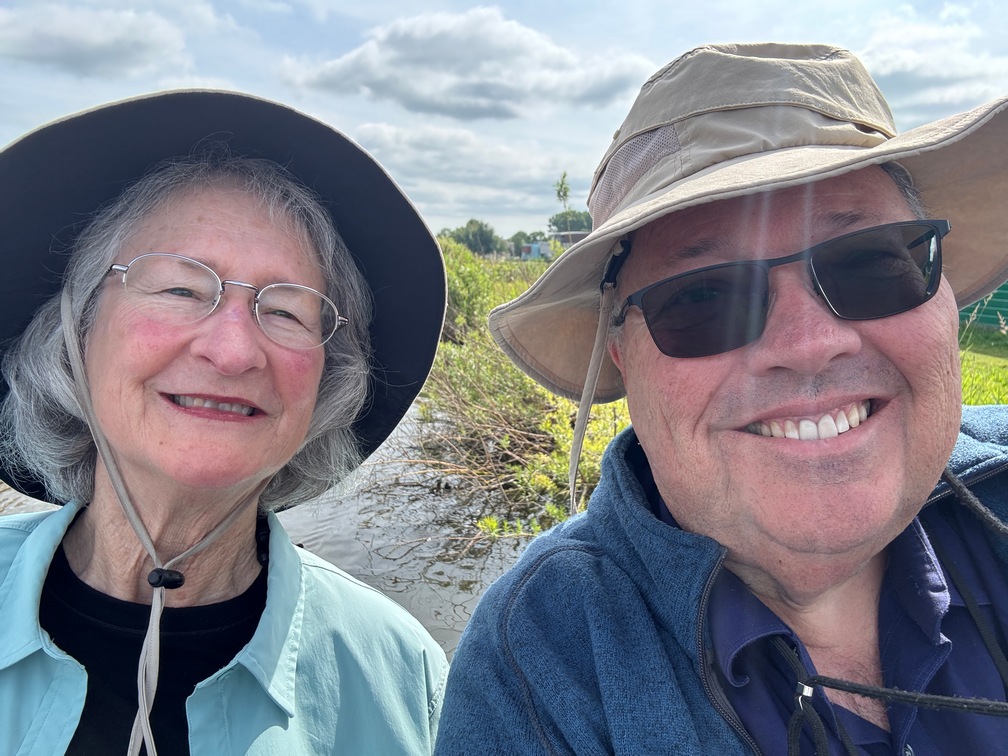
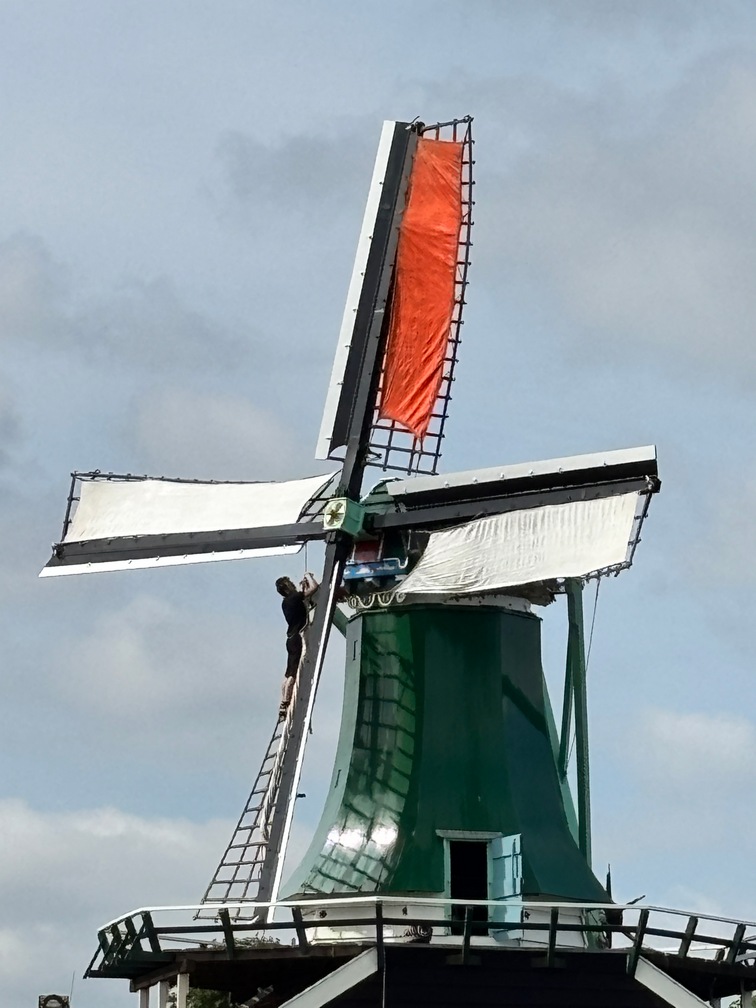
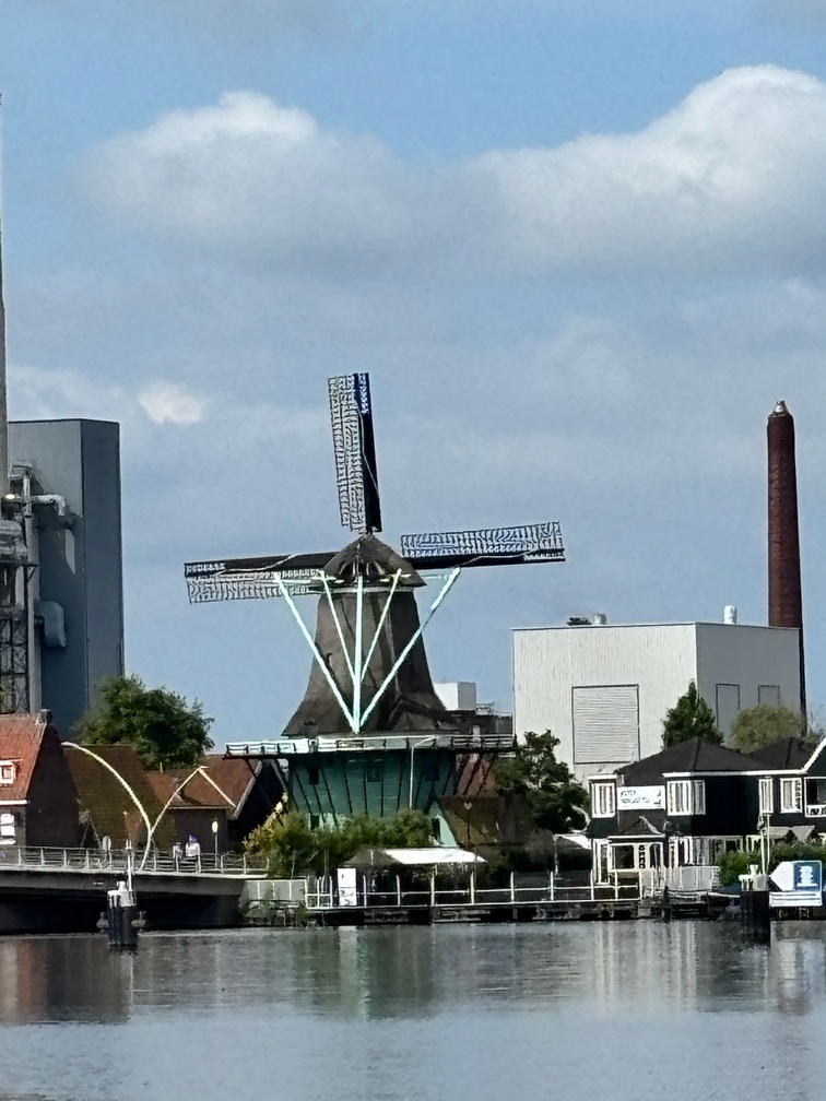
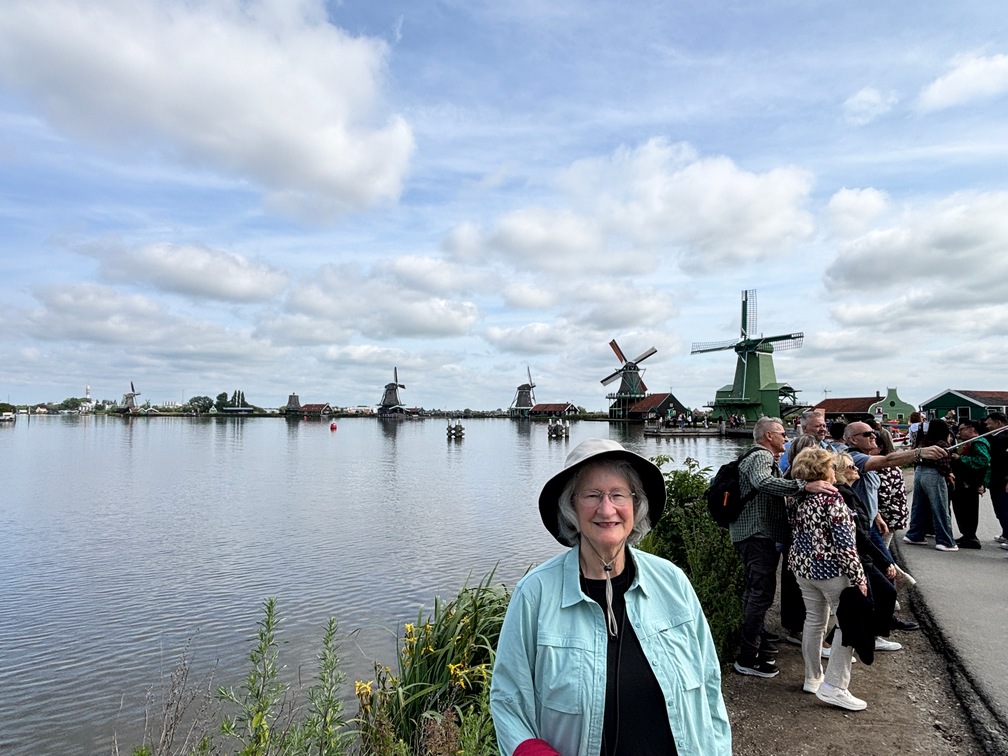
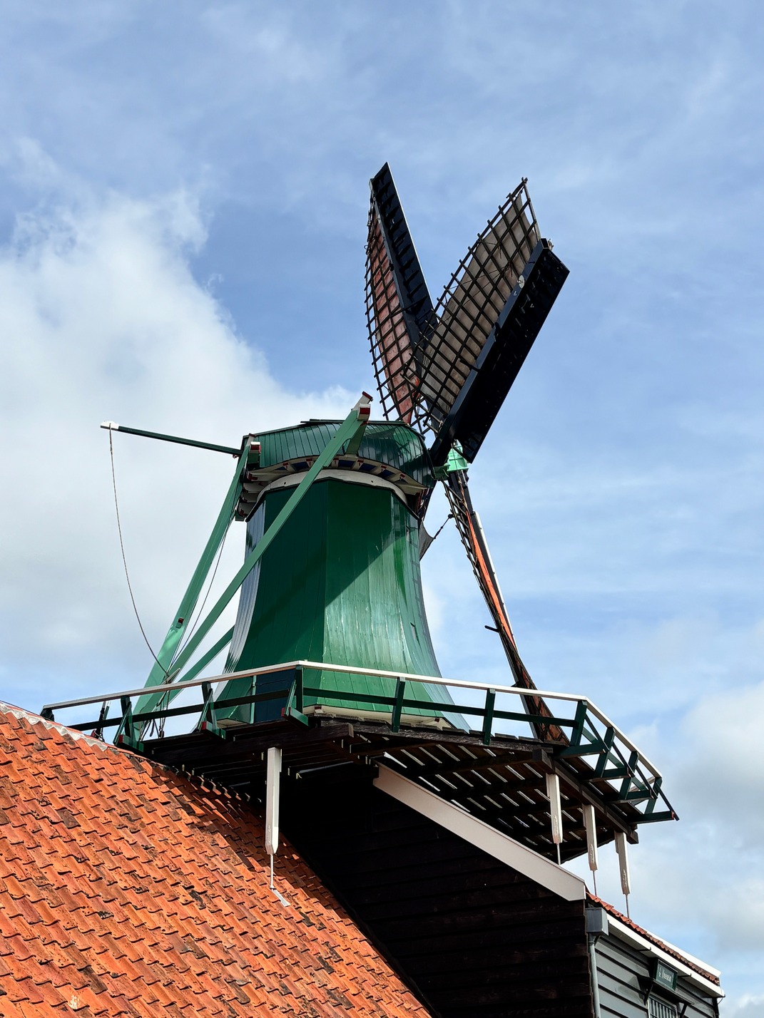
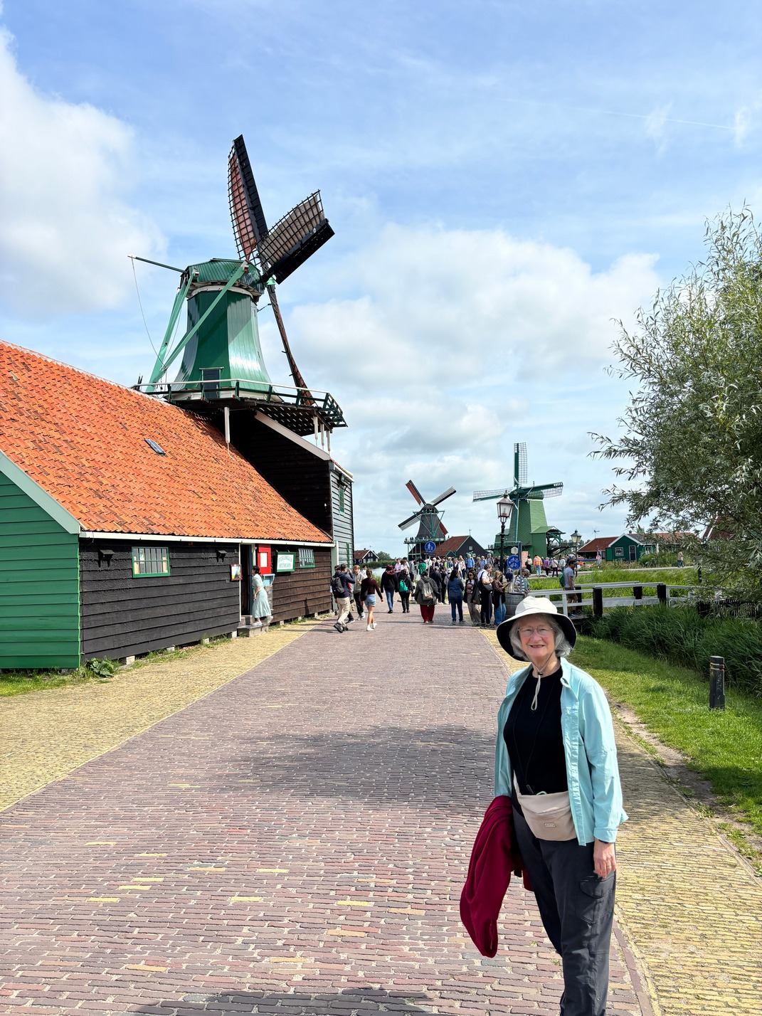
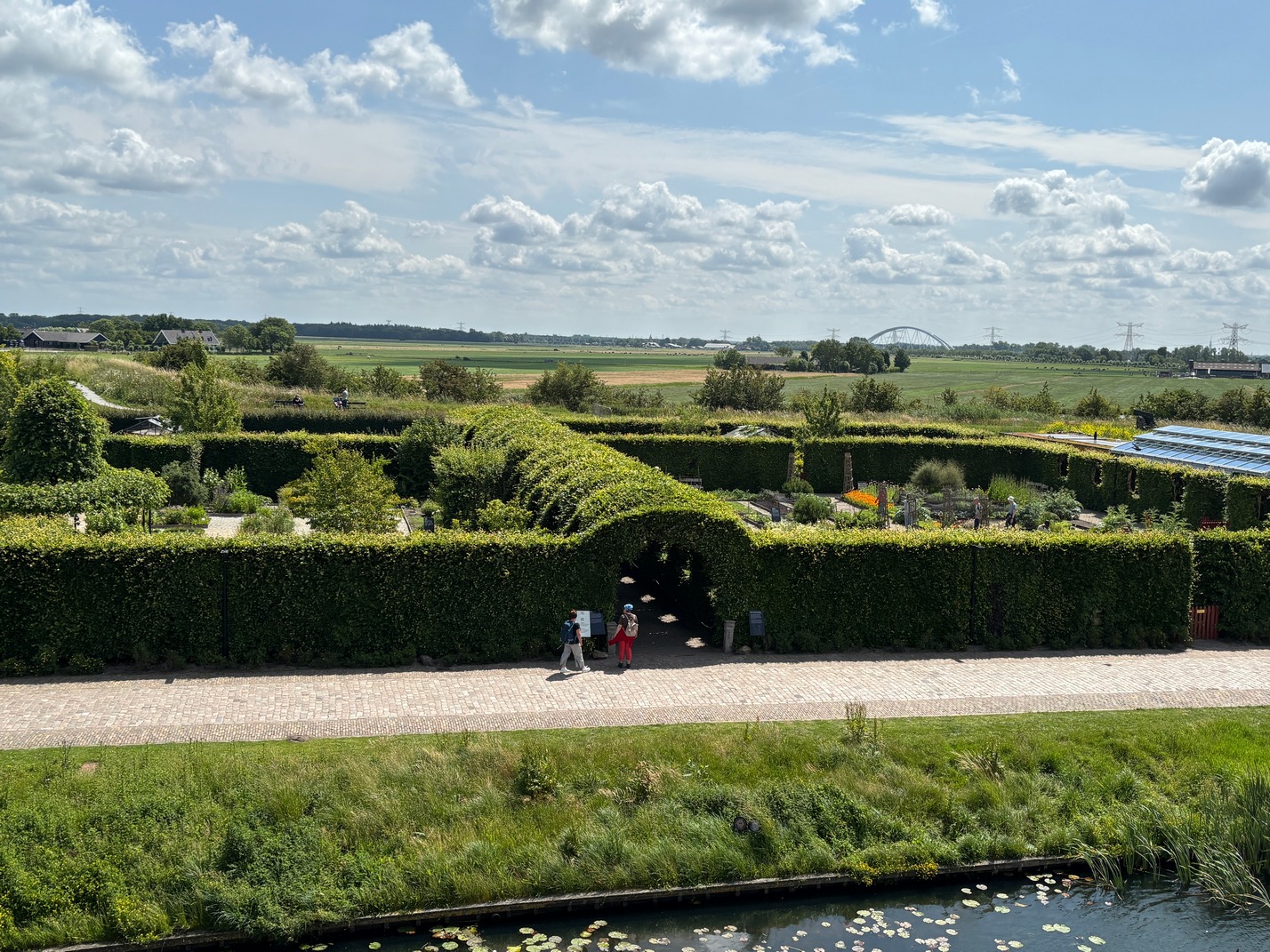
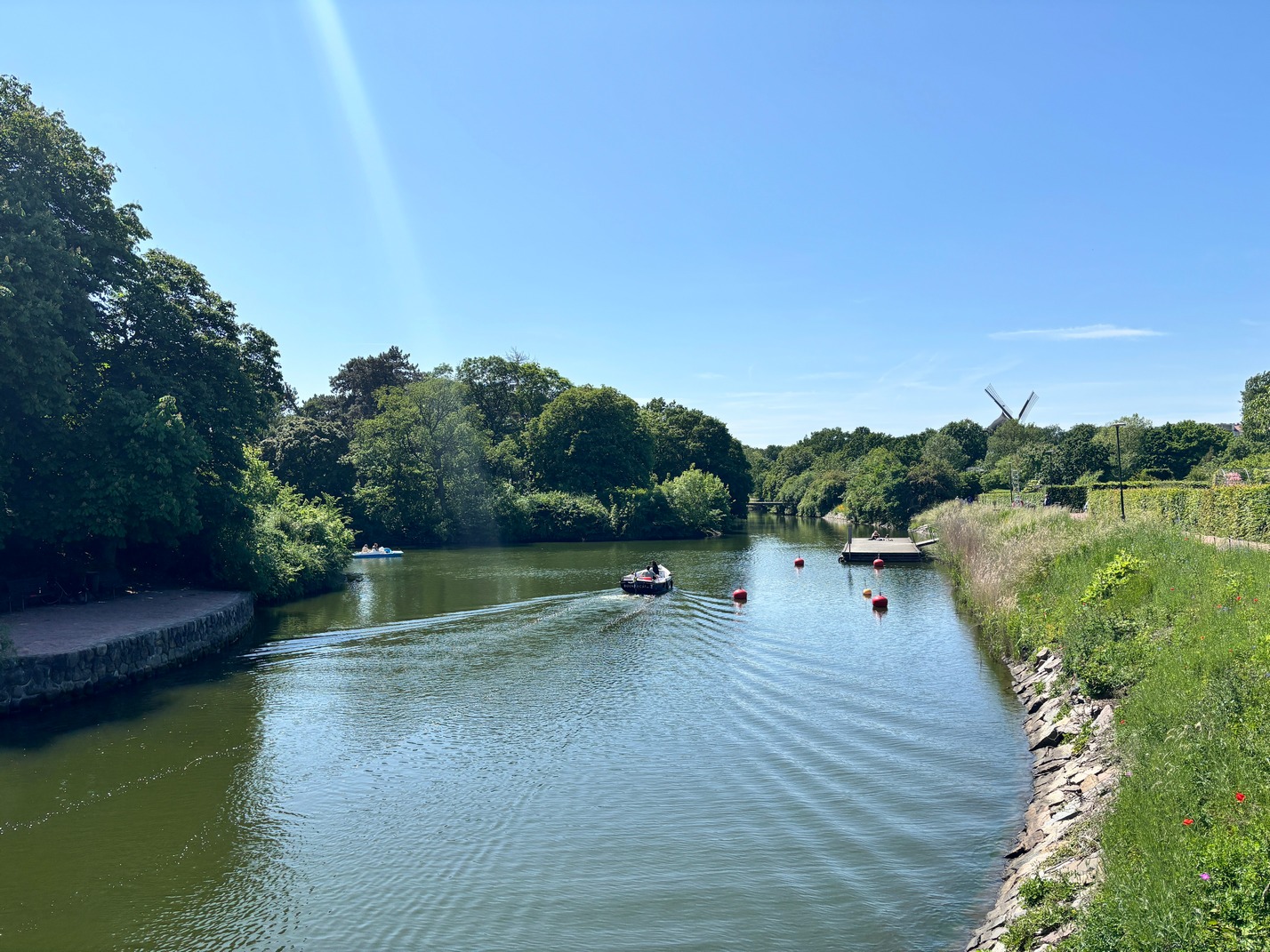
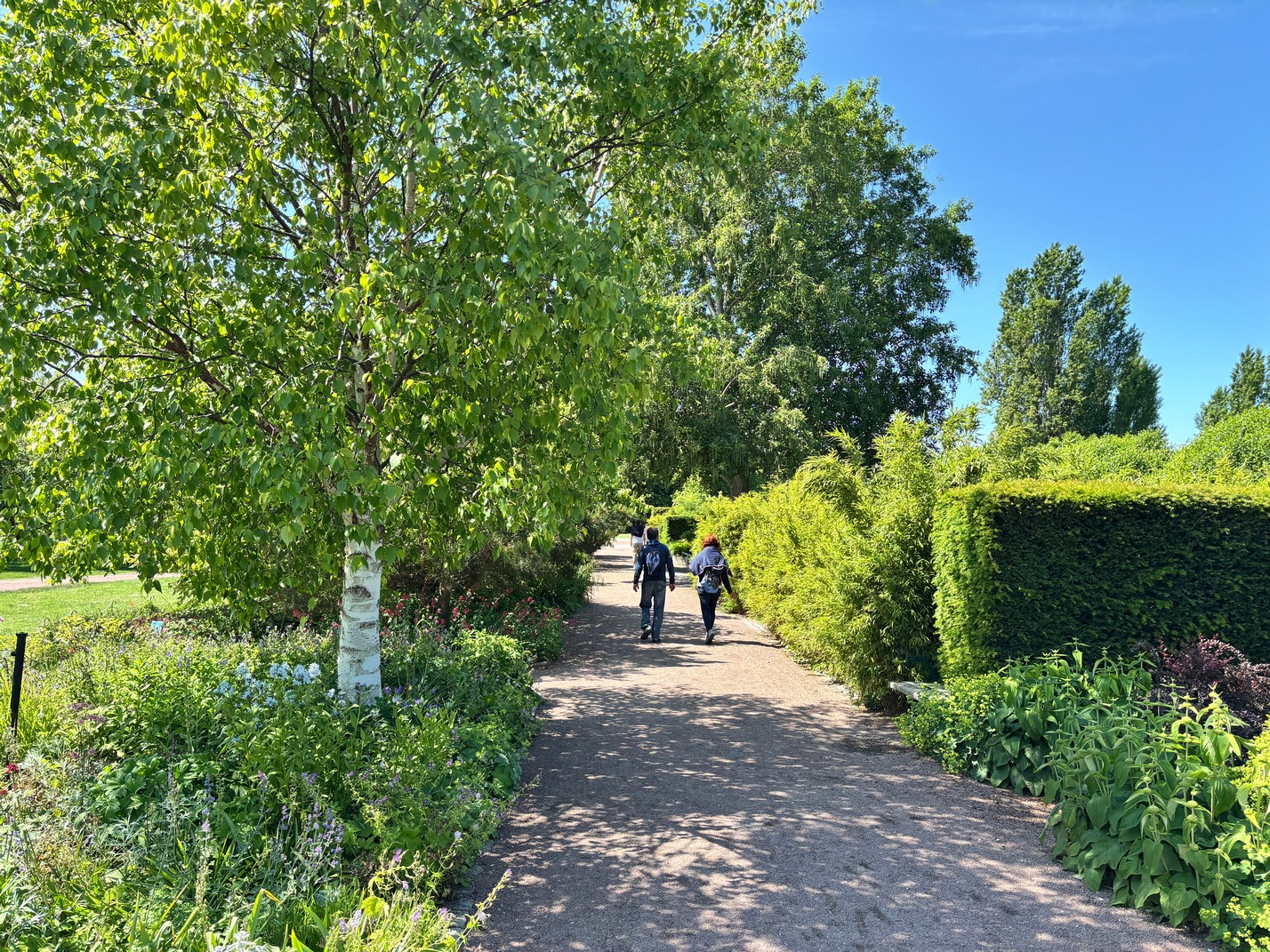
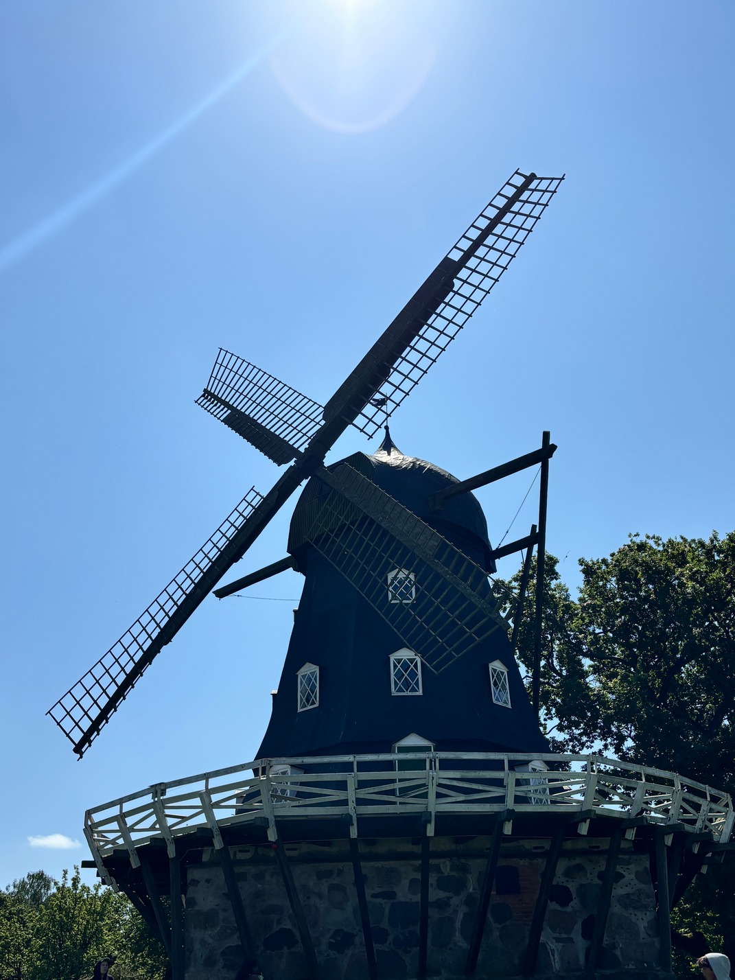
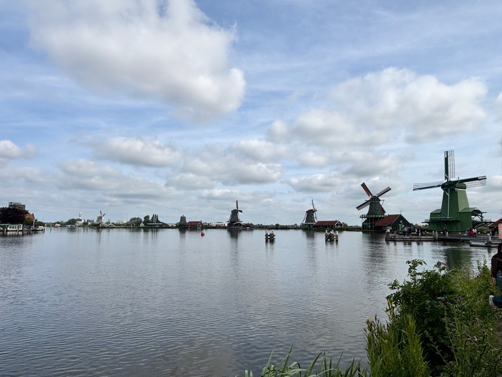 The walk out to the Windmills was beautiful. We took a short boat trip to see the Windmills from the water side first then walked along the paths that got to the land side of them. It was pretty spectacular when they opened the sails on a few of the mills and they started spinning.. These things were extremely old so that they could still work was quite amazing.
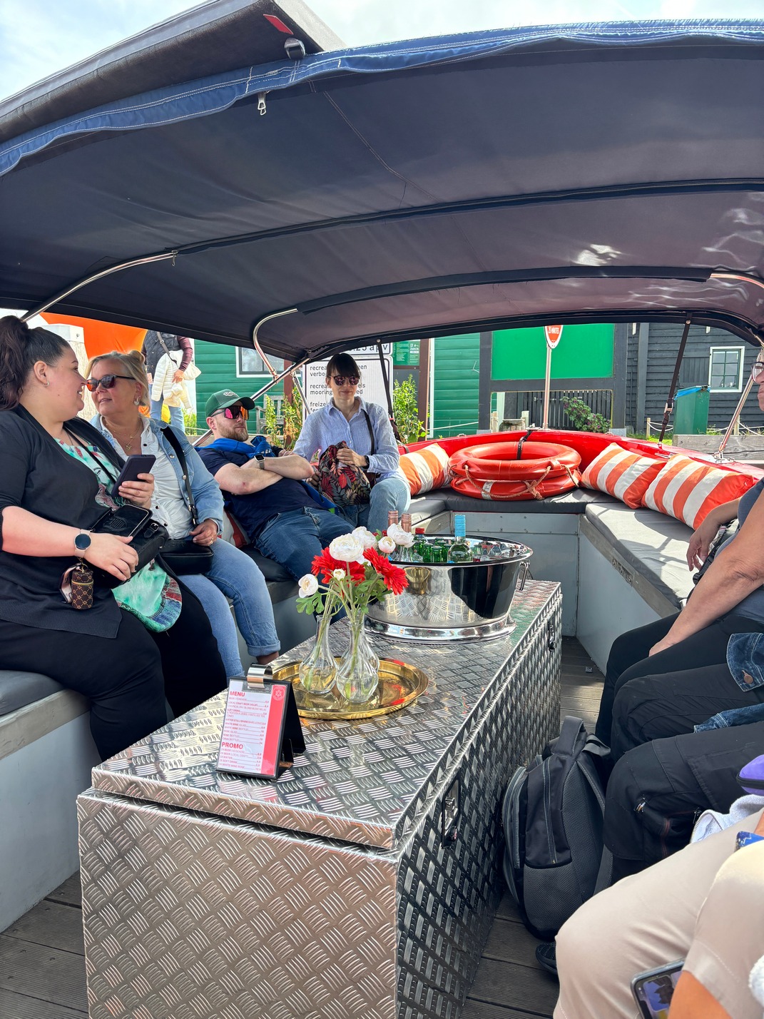
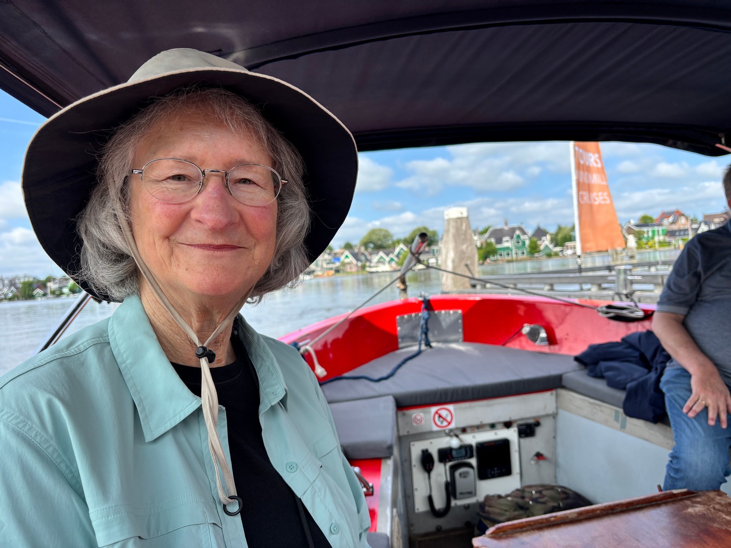
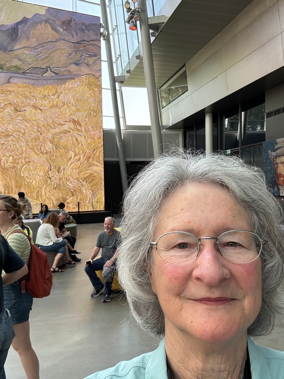
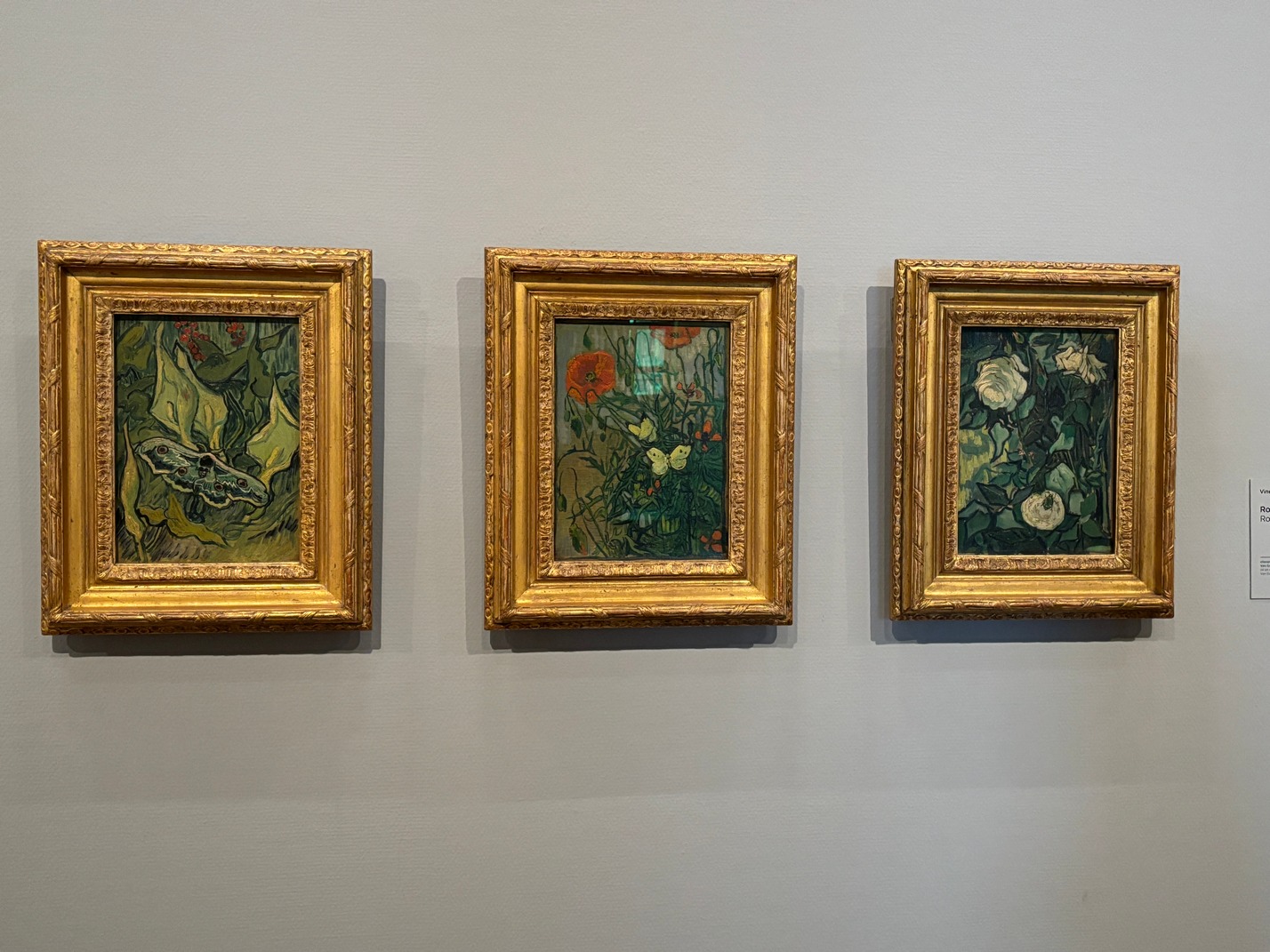
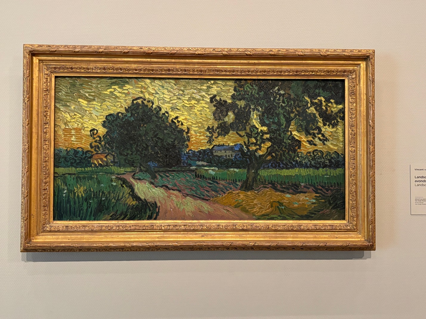
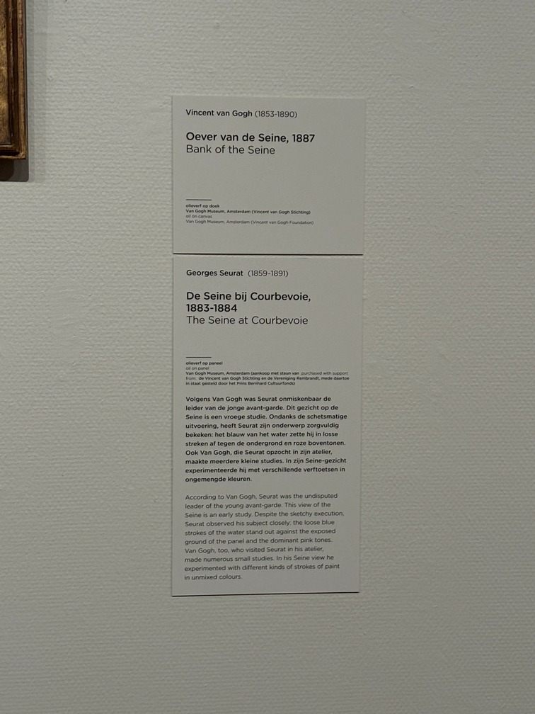
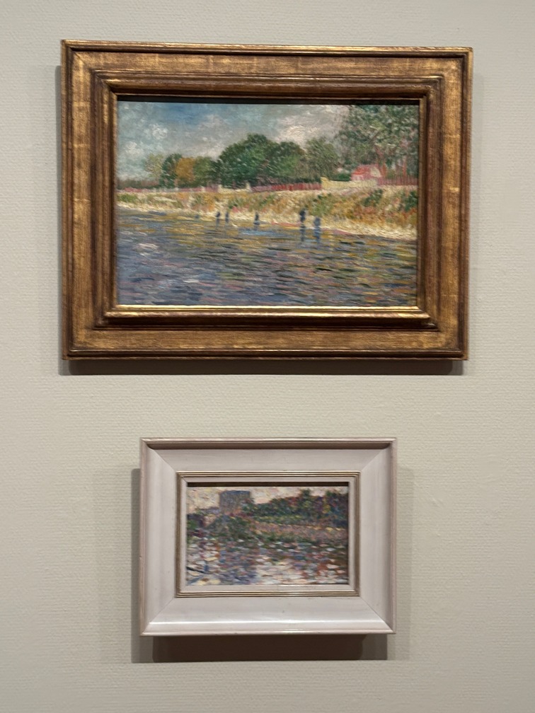
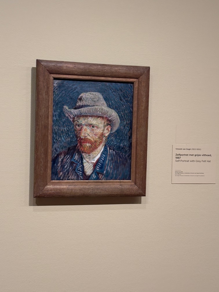
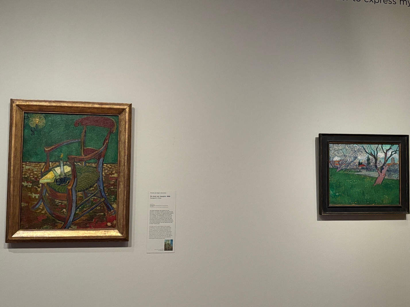
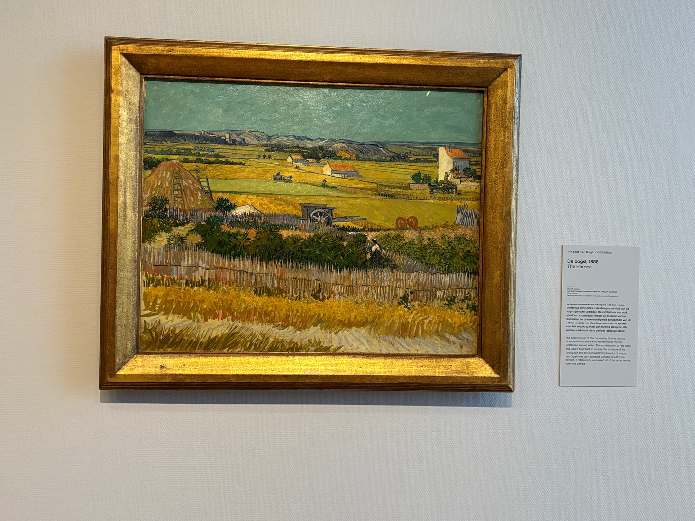
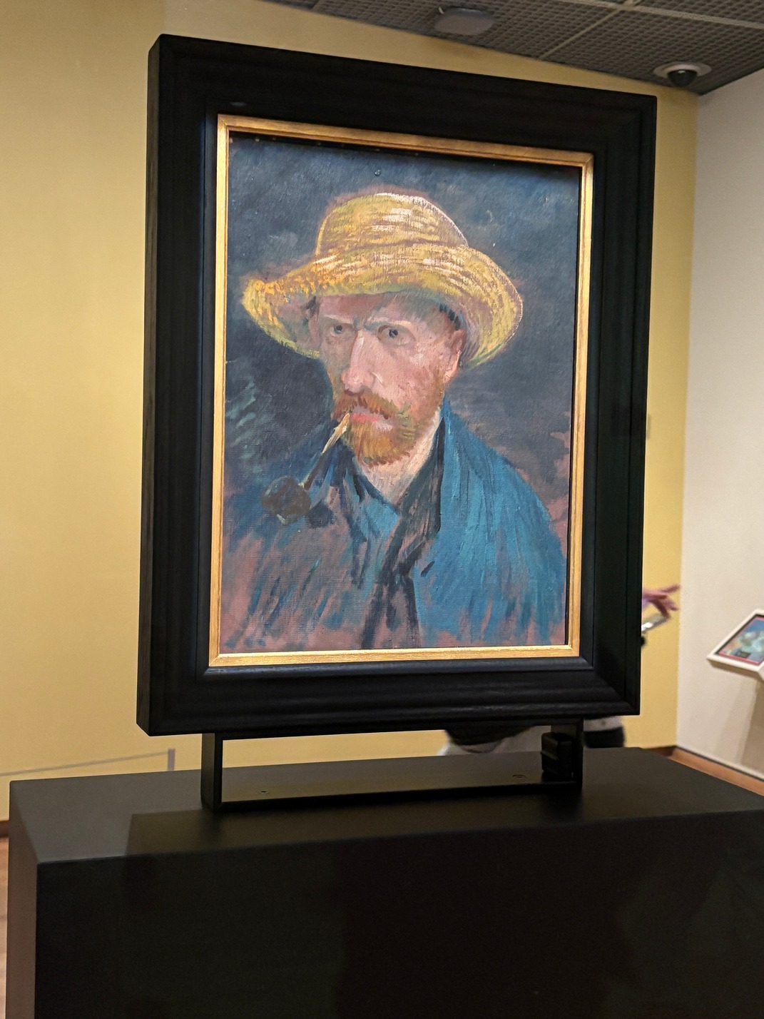
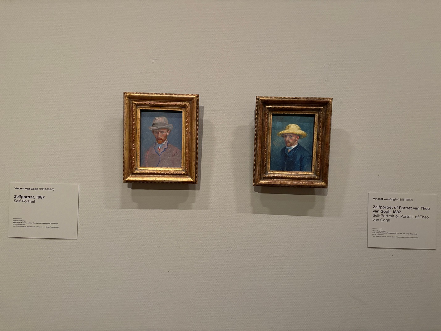
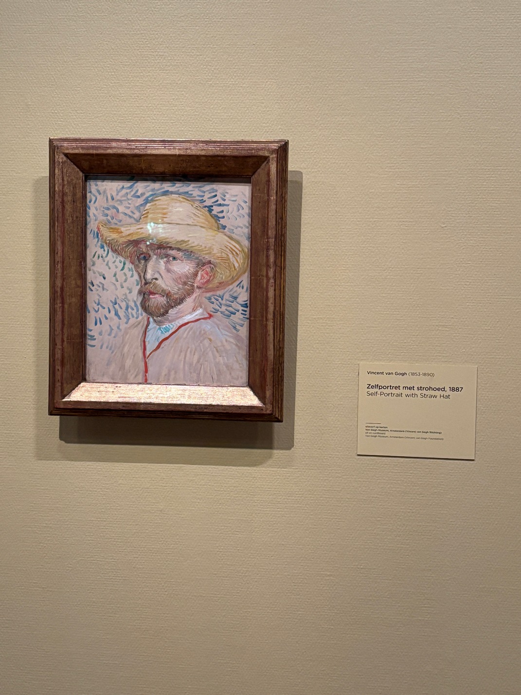
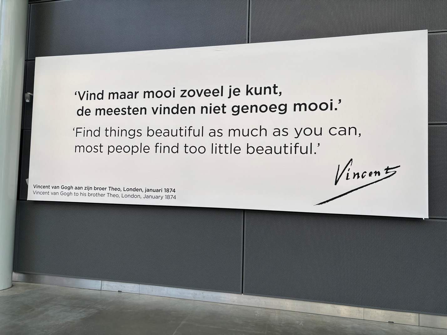
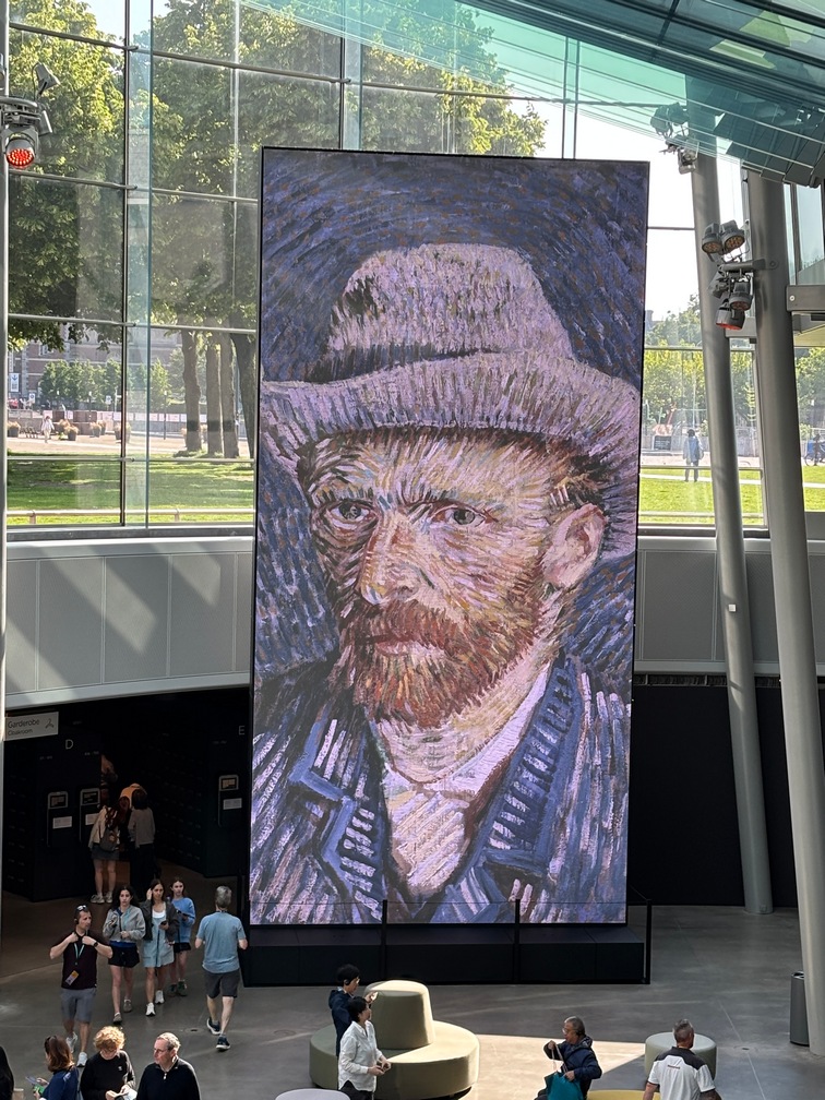
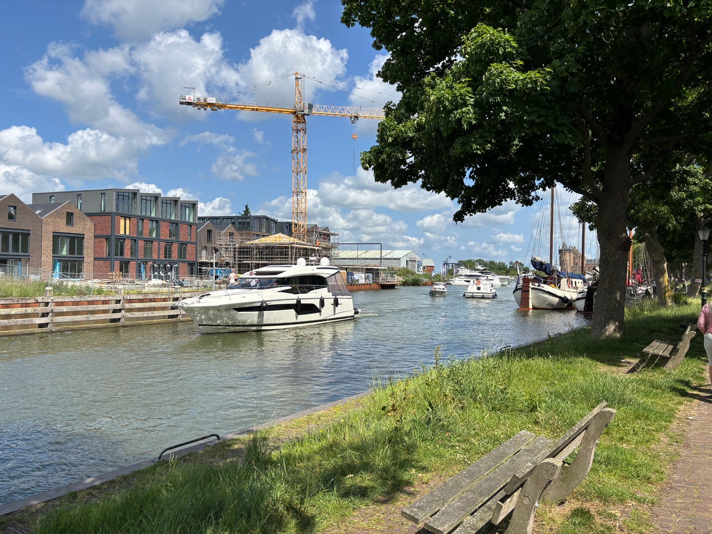
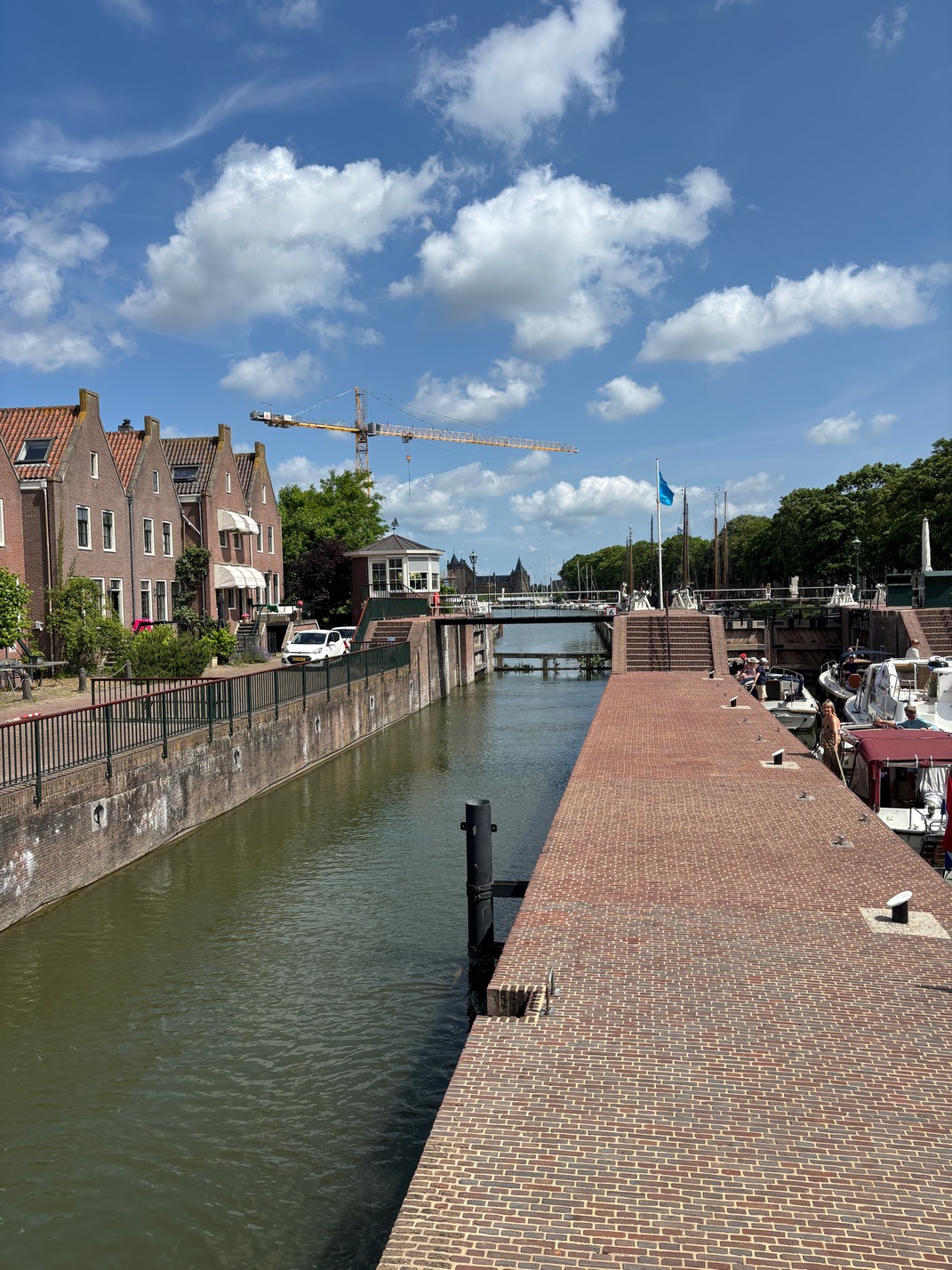
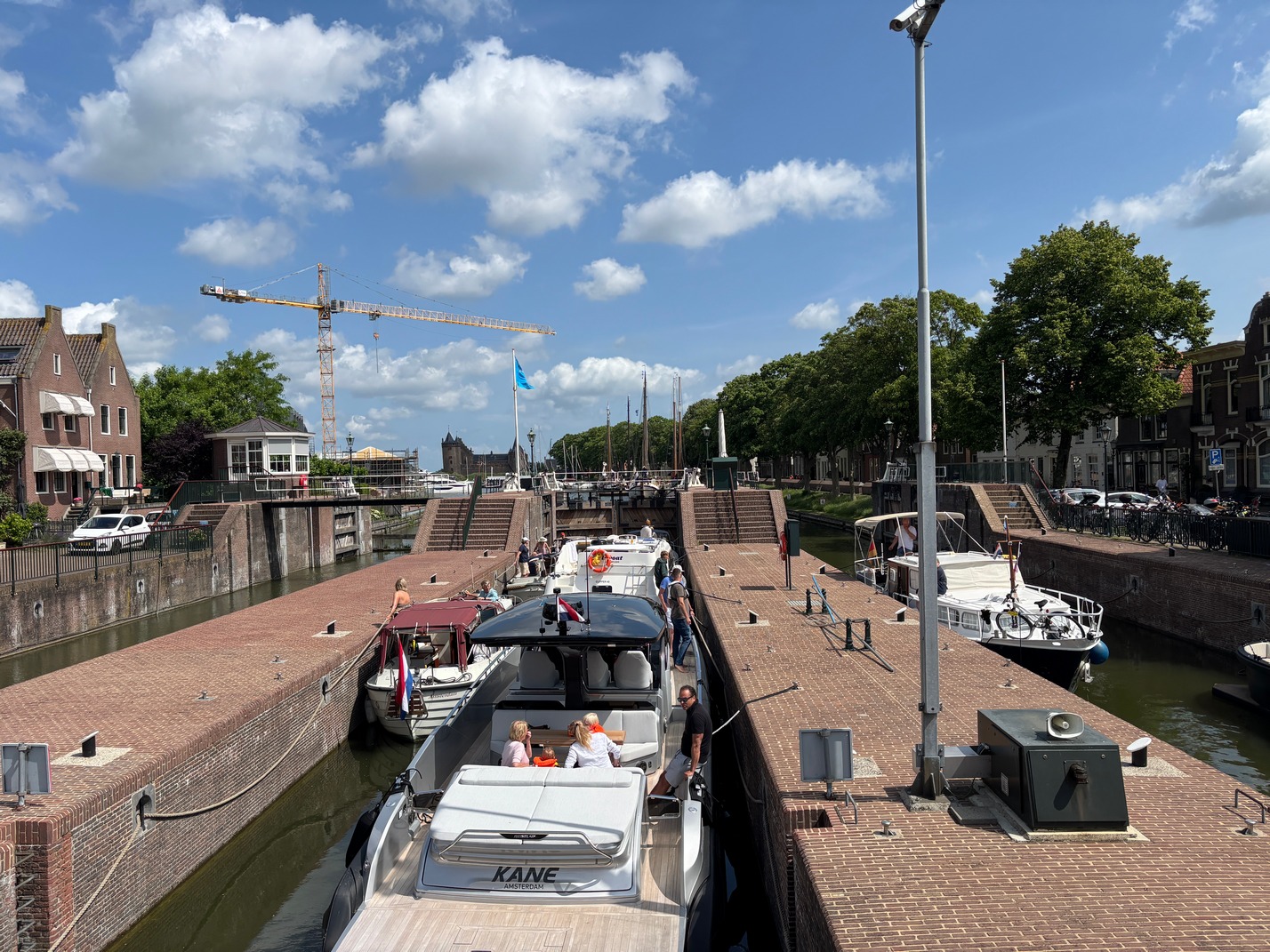
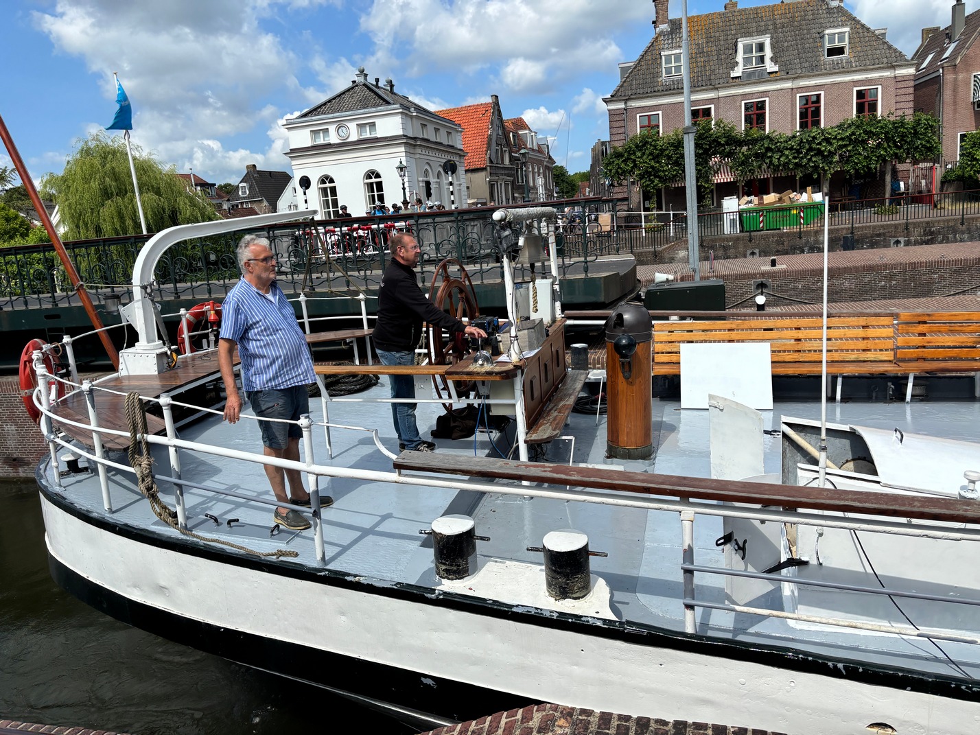
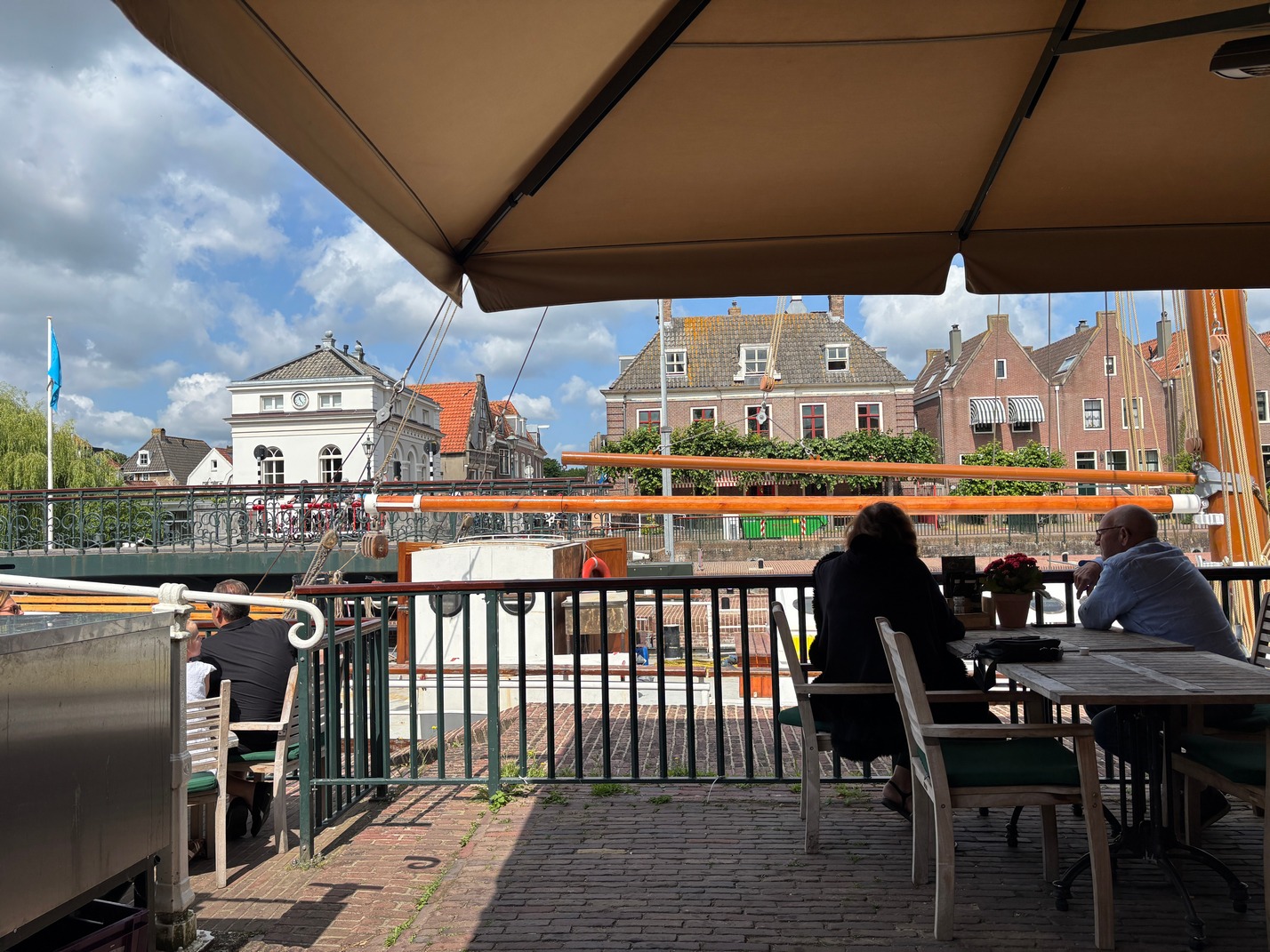
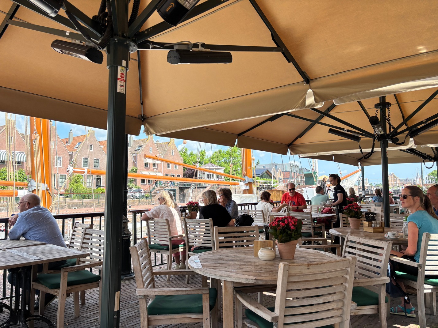
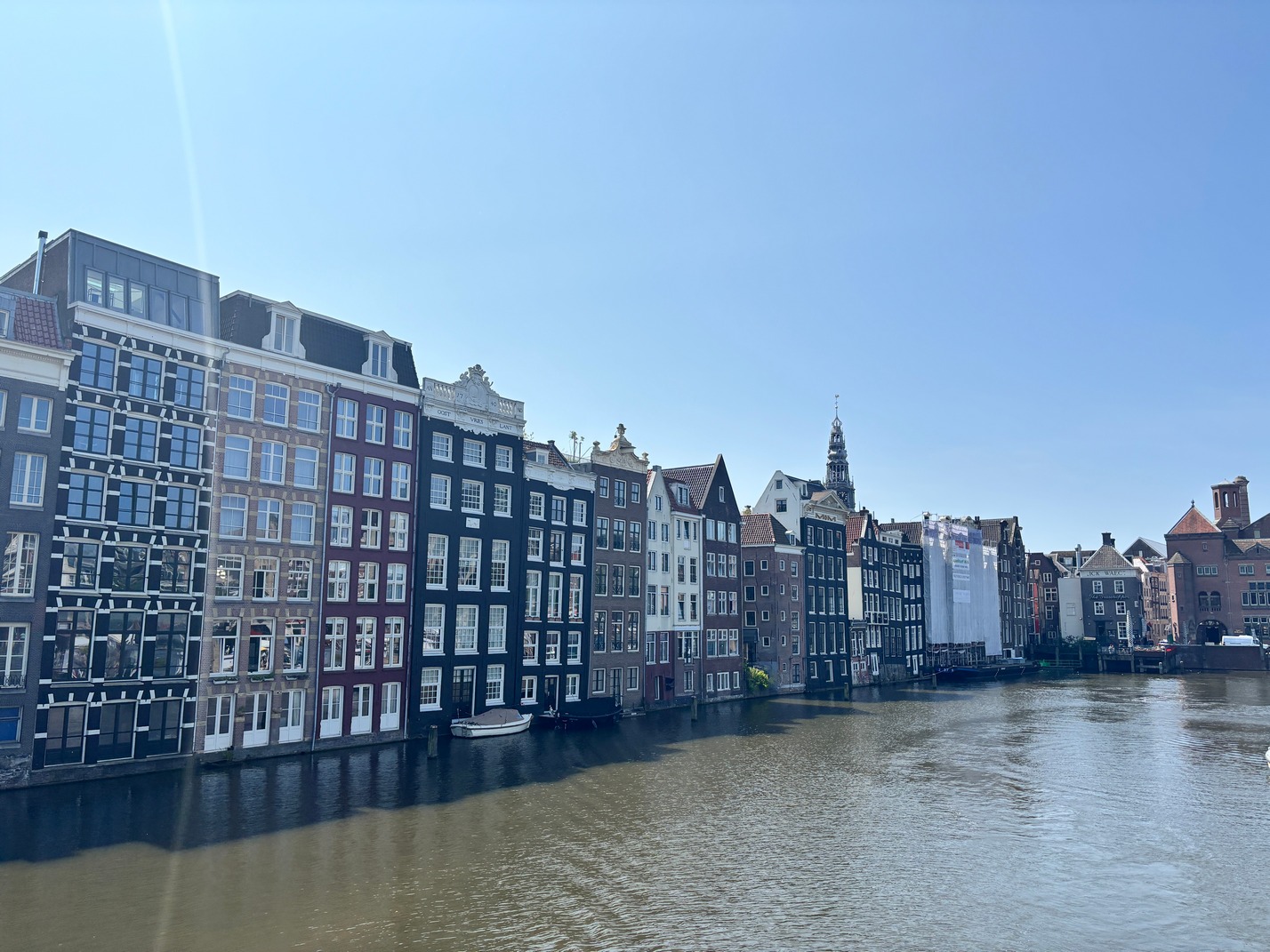
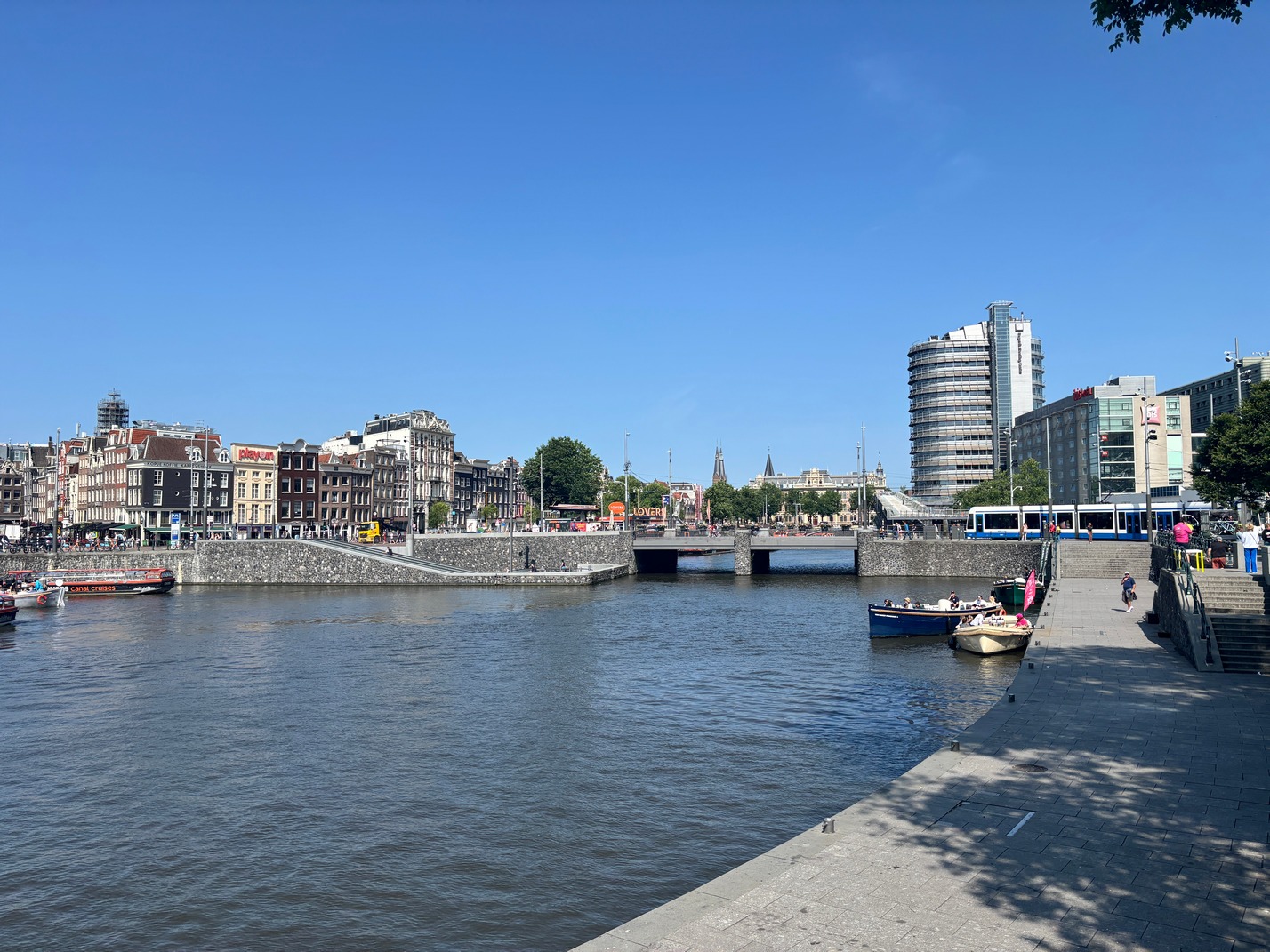
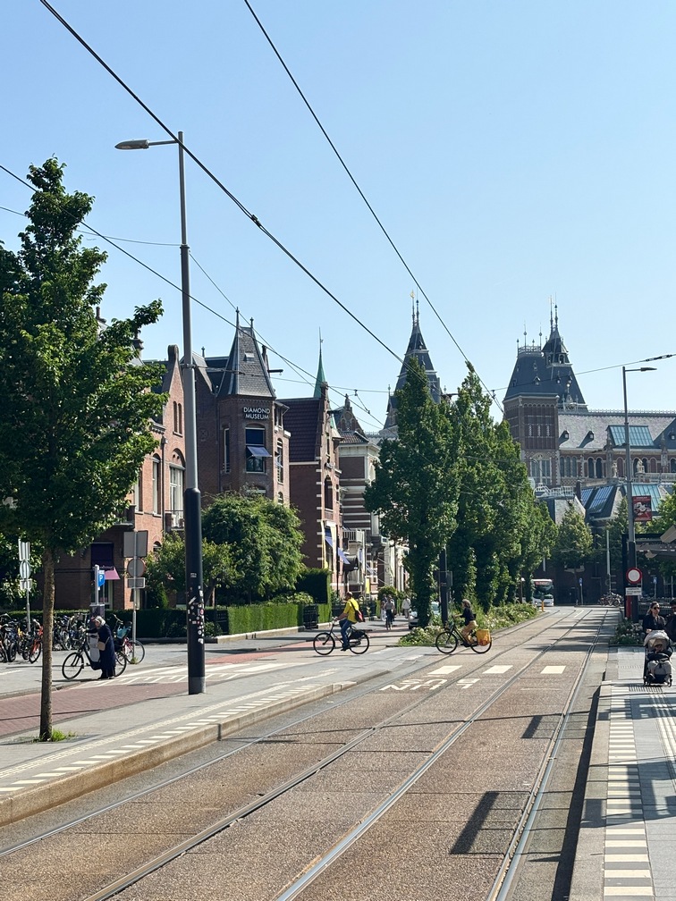
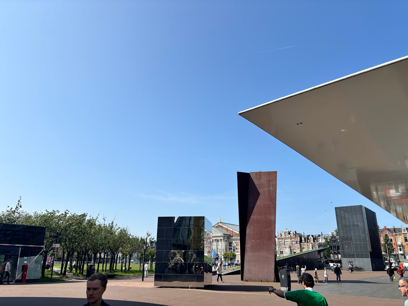
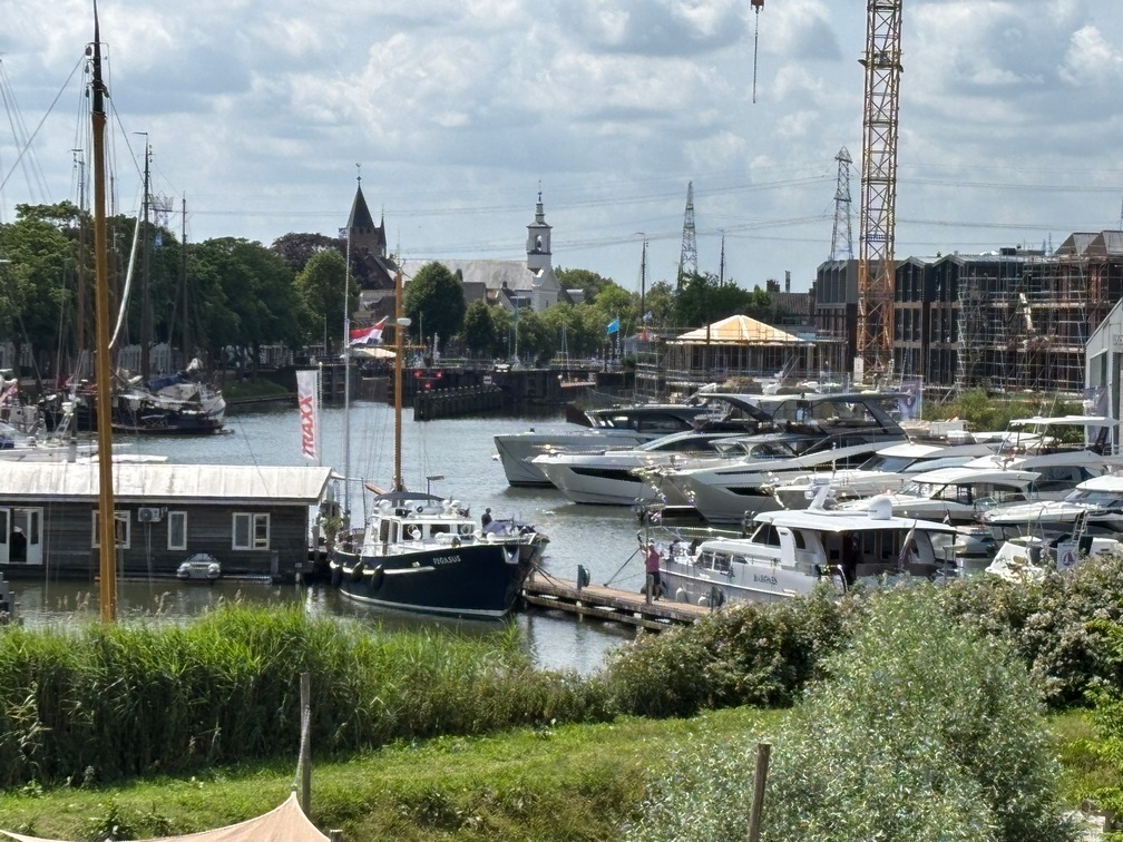
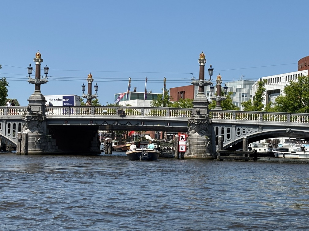
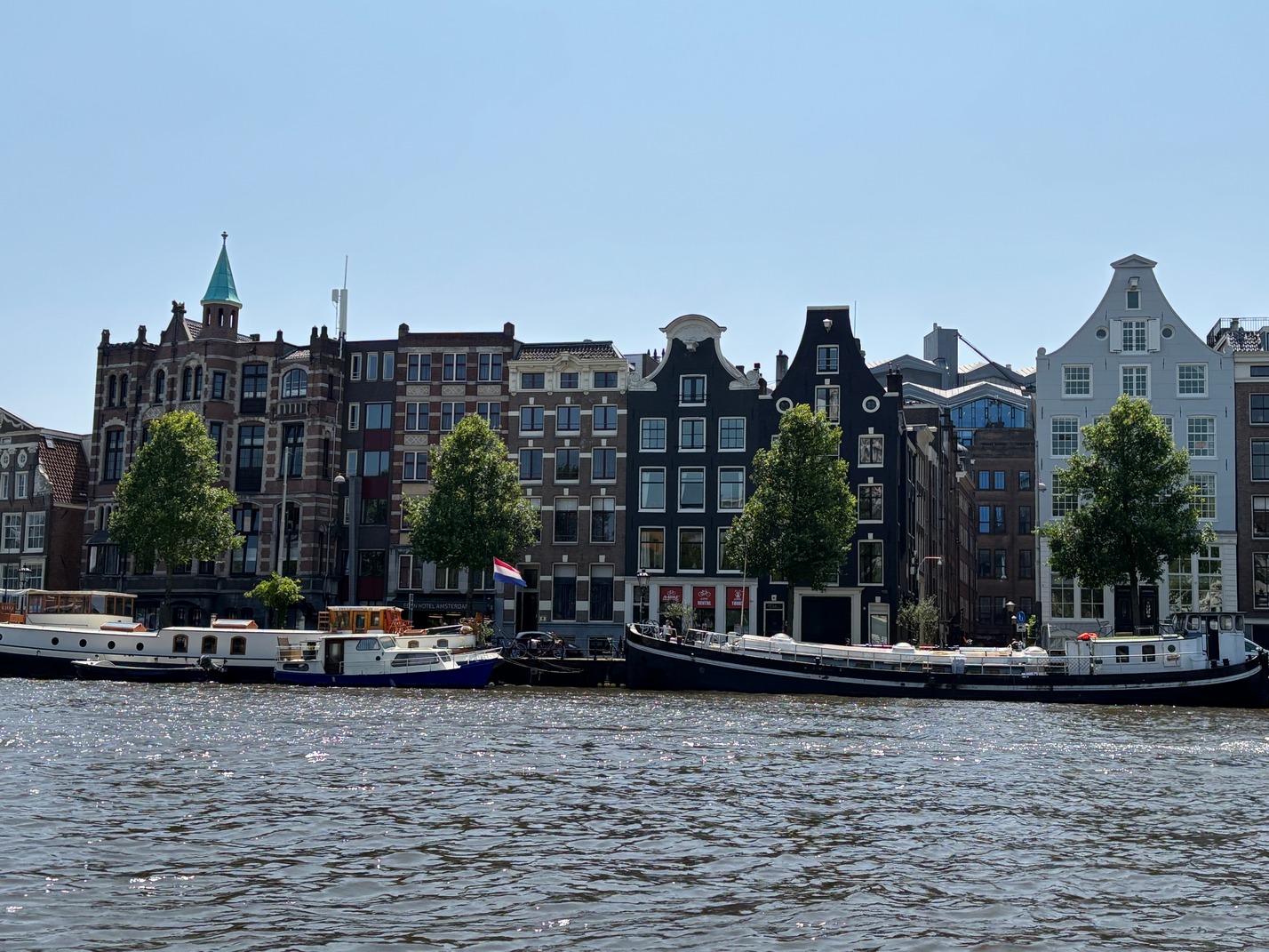
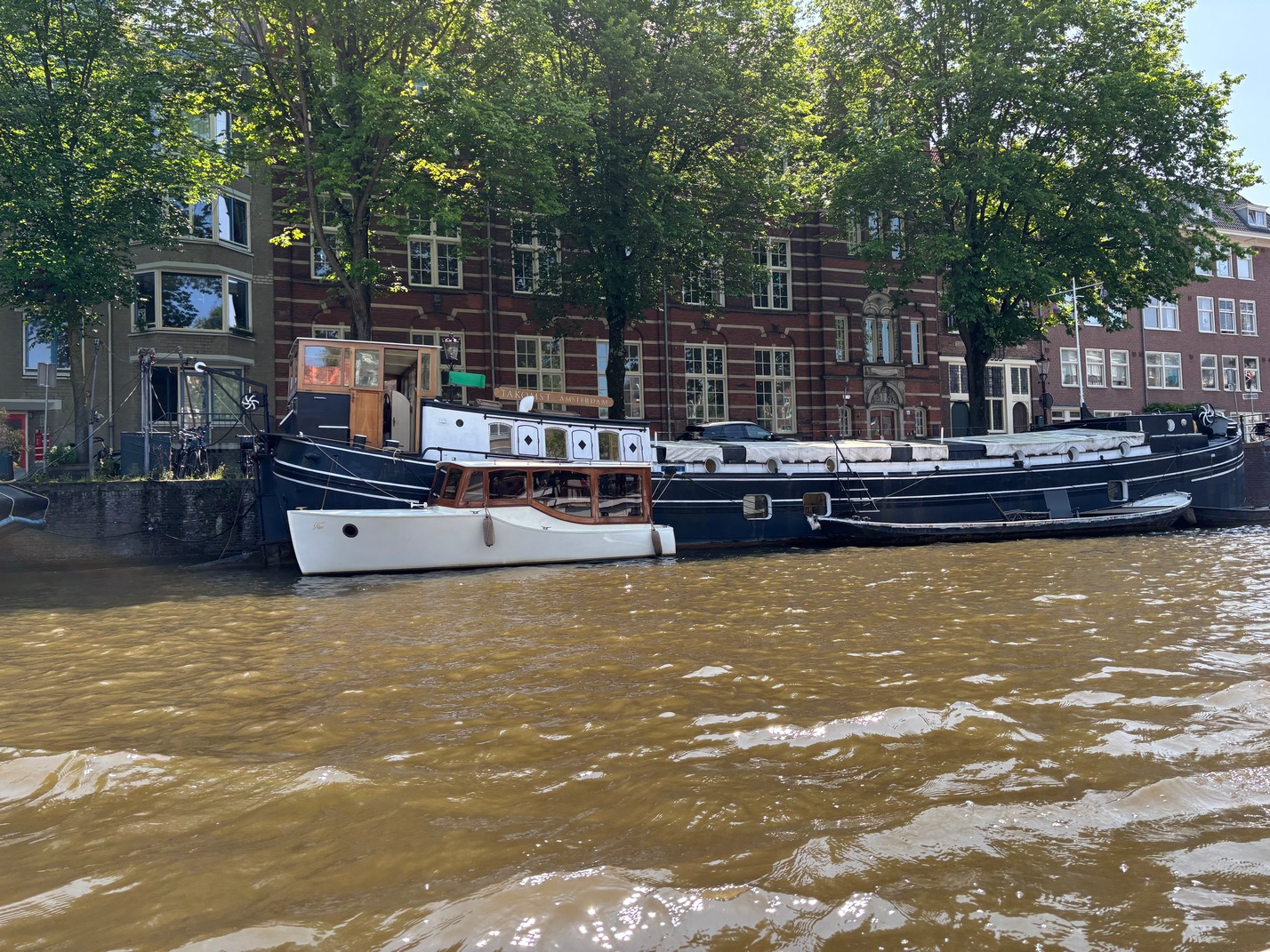
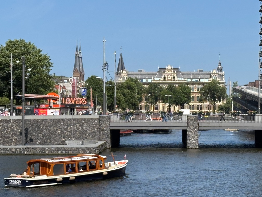
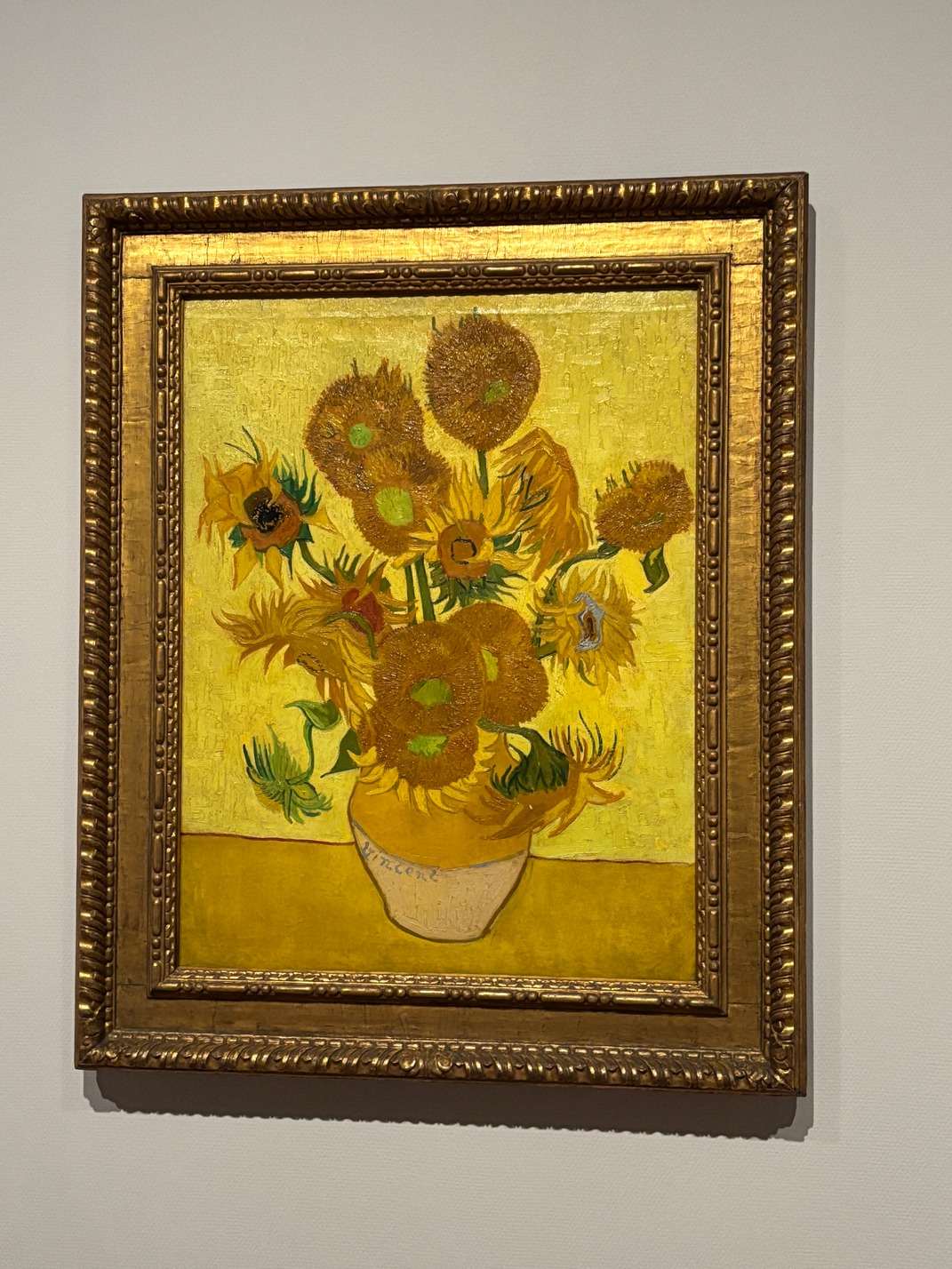 Thursdays morning we took a tram from Amstel Station lot to the Van Gogh museum. It was a different place than the VG museum I had been in 40 years ago. Afterward we headed downtown for a slice of pizza after which we found the canal boat I had spotted earlier and signed up for a very nice 1 hour canal boat tour with wine and cheese. I had picked this boat as it had a roof over it and looked more like an old wooden boat and not the plastic looking canal boats there were everywhere you looked on the canals.
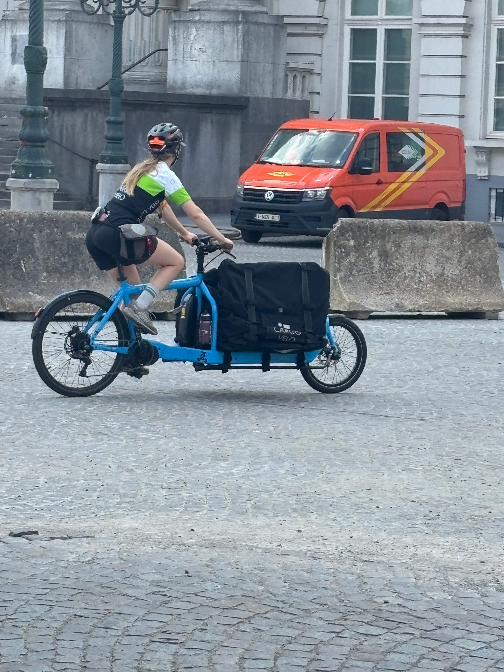
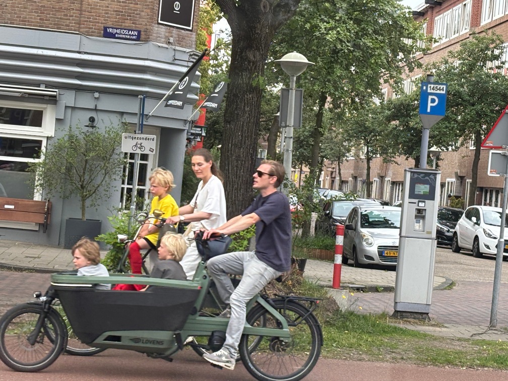
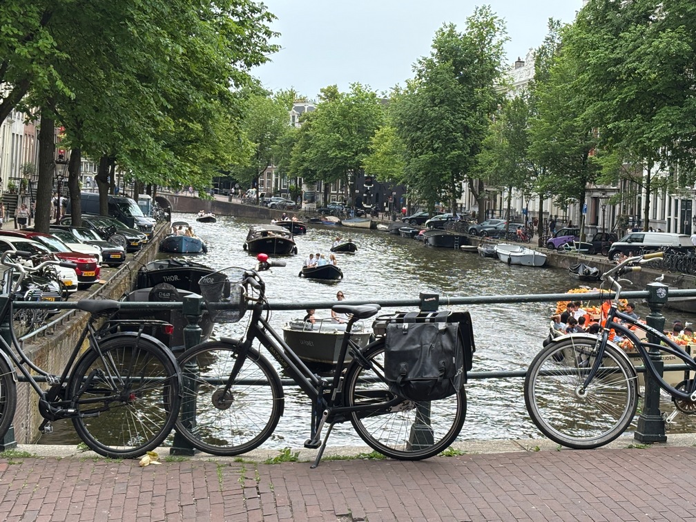
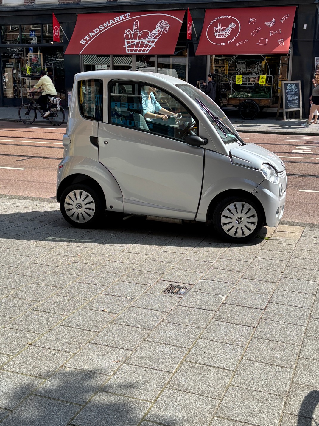
Bicycles are EVERYWHERE! Its amazing how many there are. And we had never really seen many of these bikes with a sort of wheel barrow in the front, but Amsterdam had thousands, and we saw just about everything stacked in them.
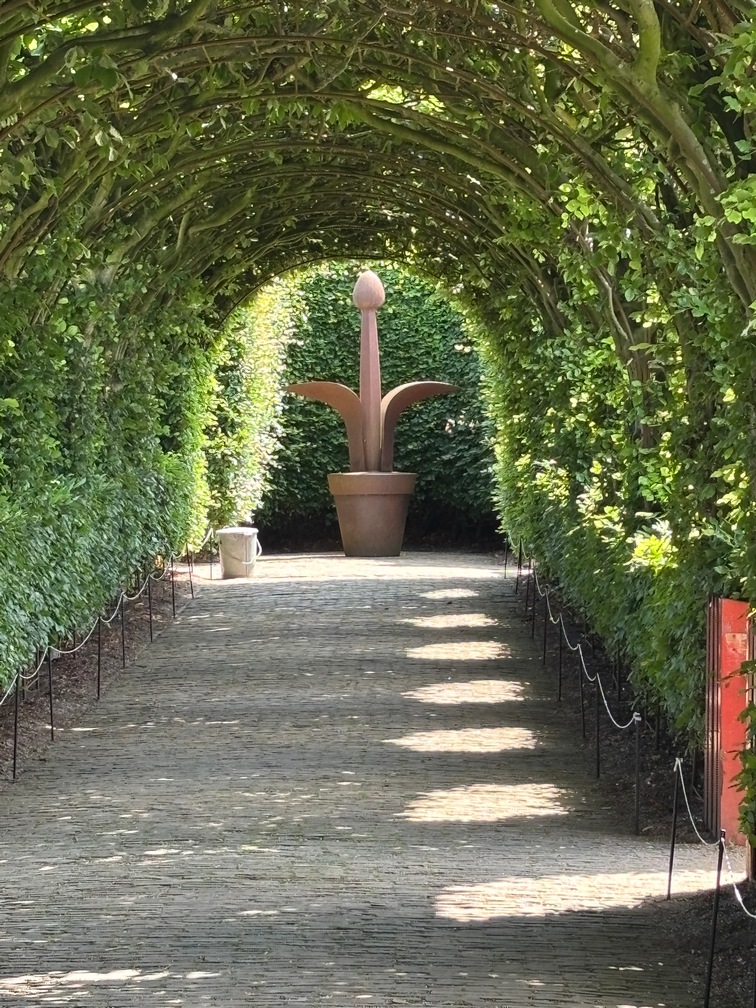
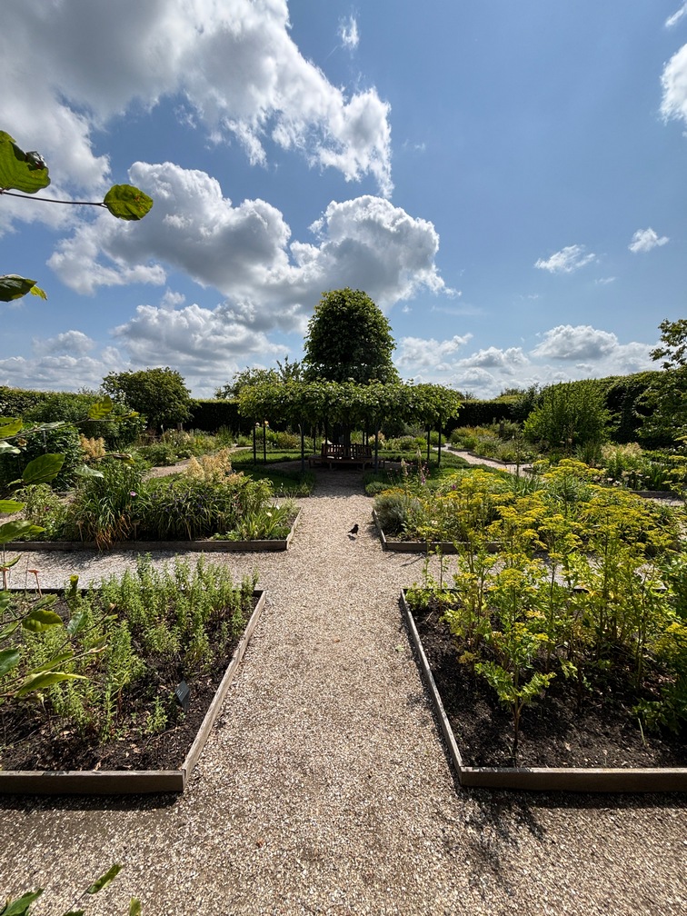
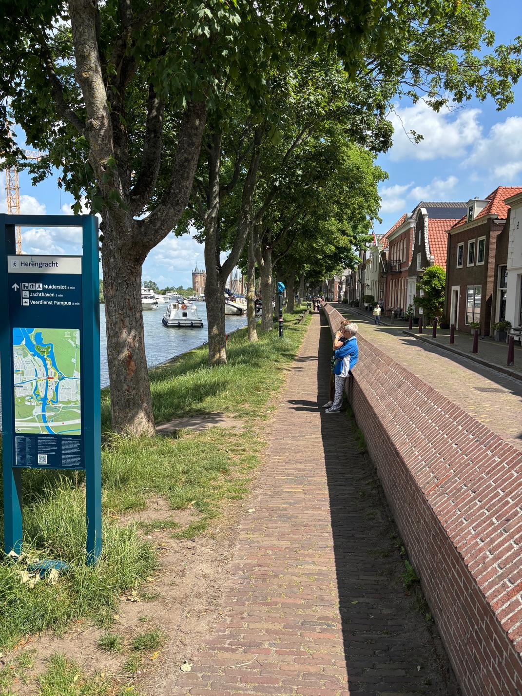
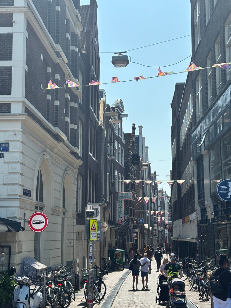
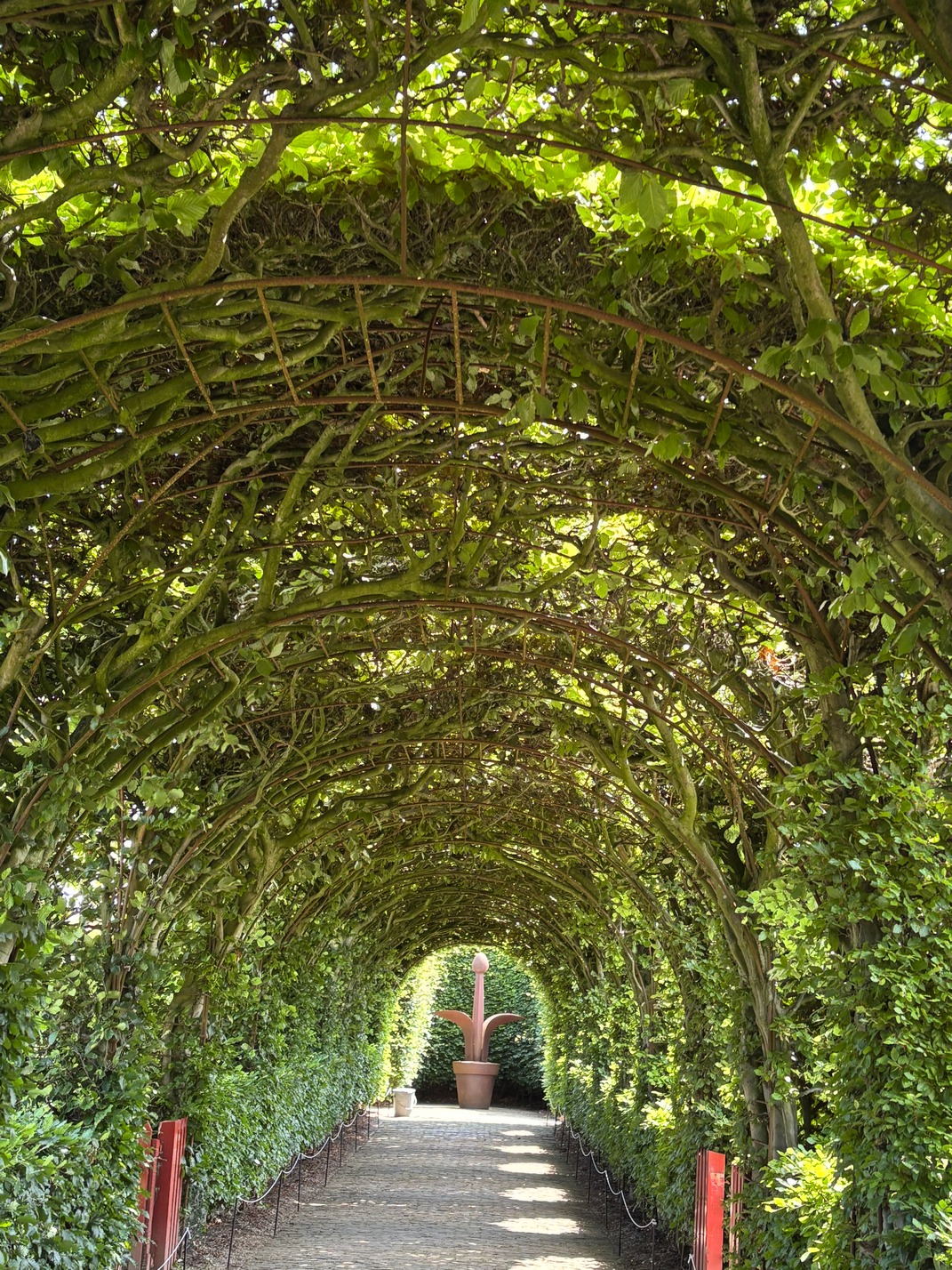
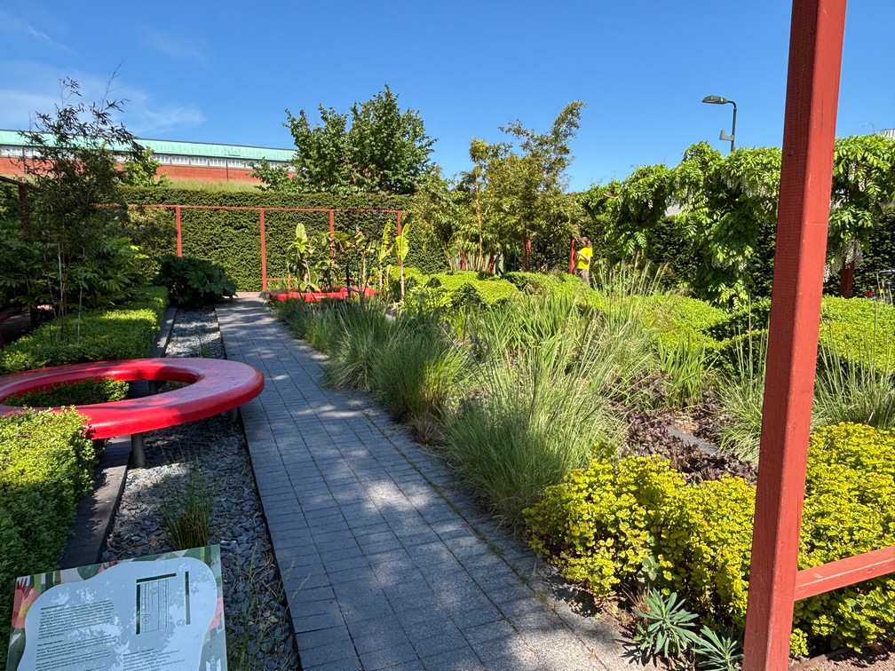
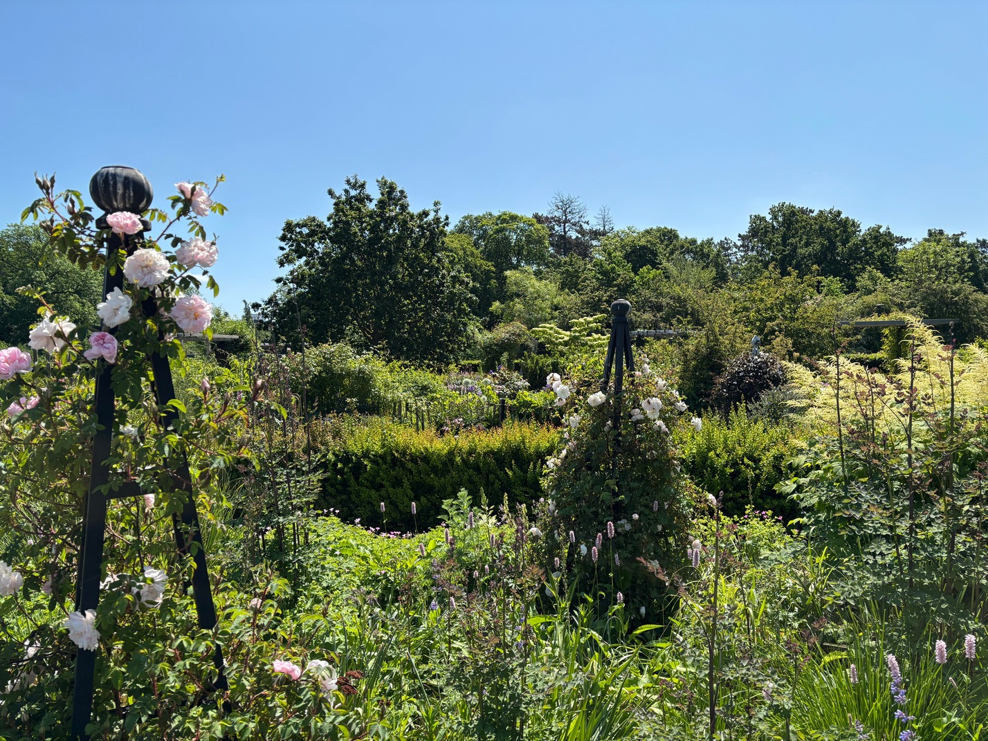
Saturday was spent wandering around Negen Straatjes, the picturesque part of Amsterdam.
Sunday we 
 bused to the
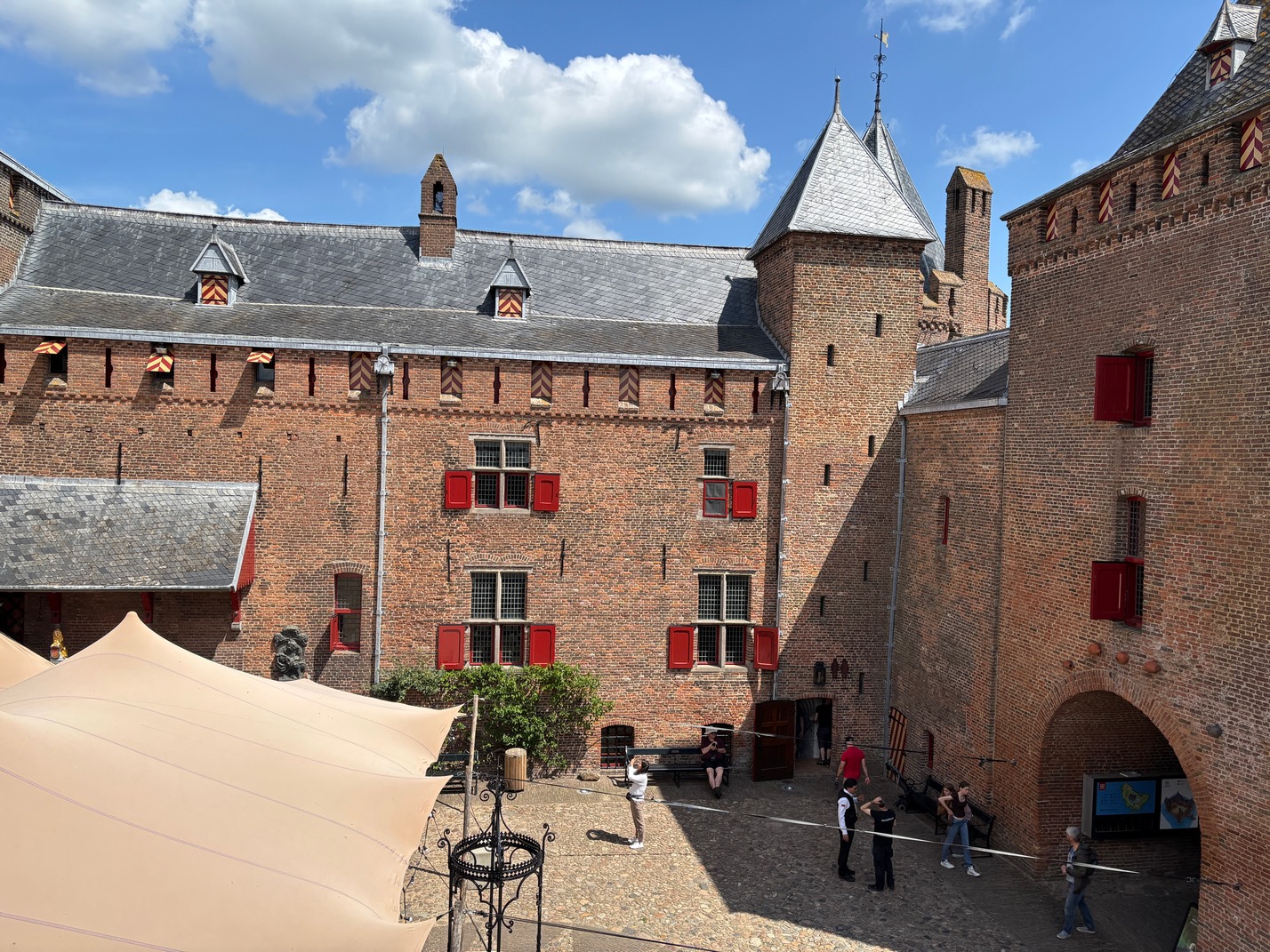
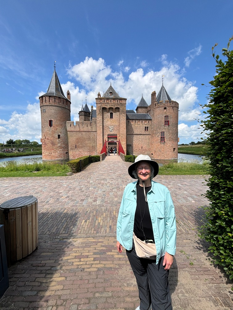
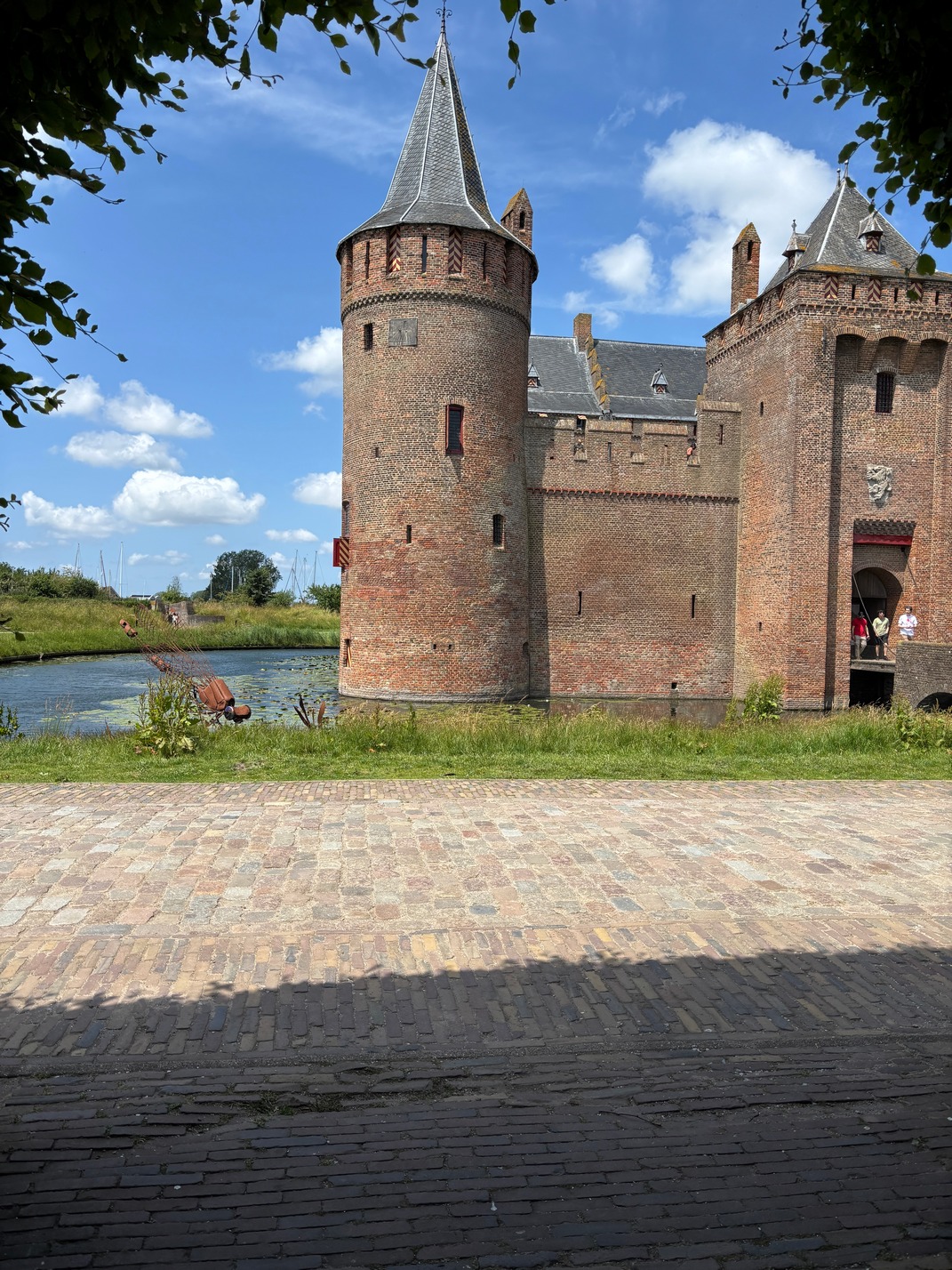
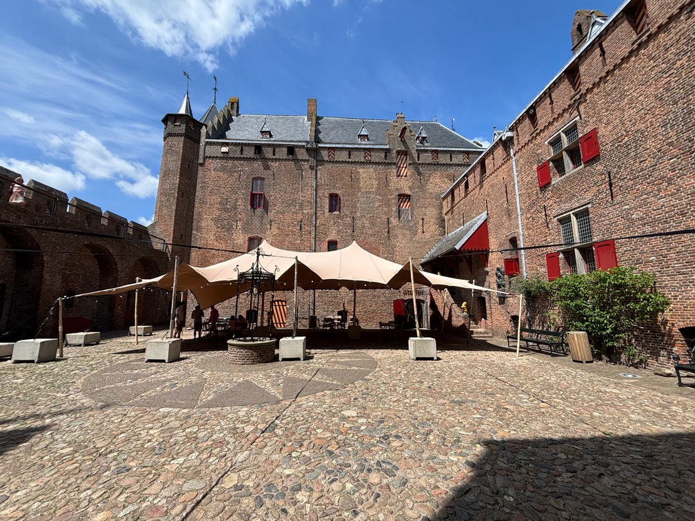
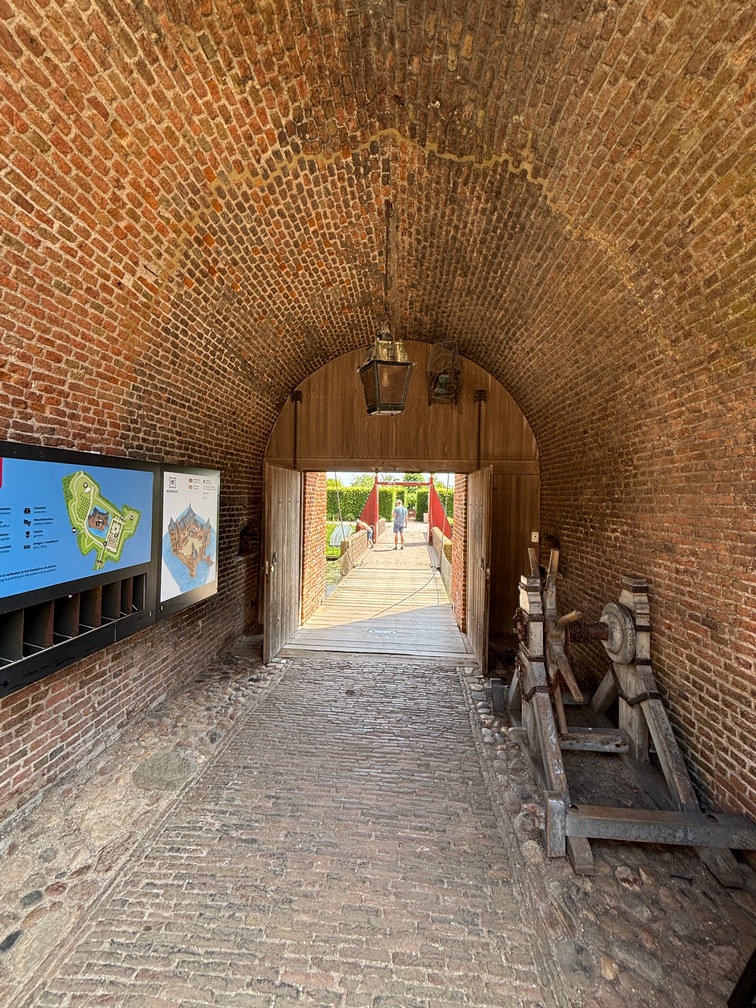
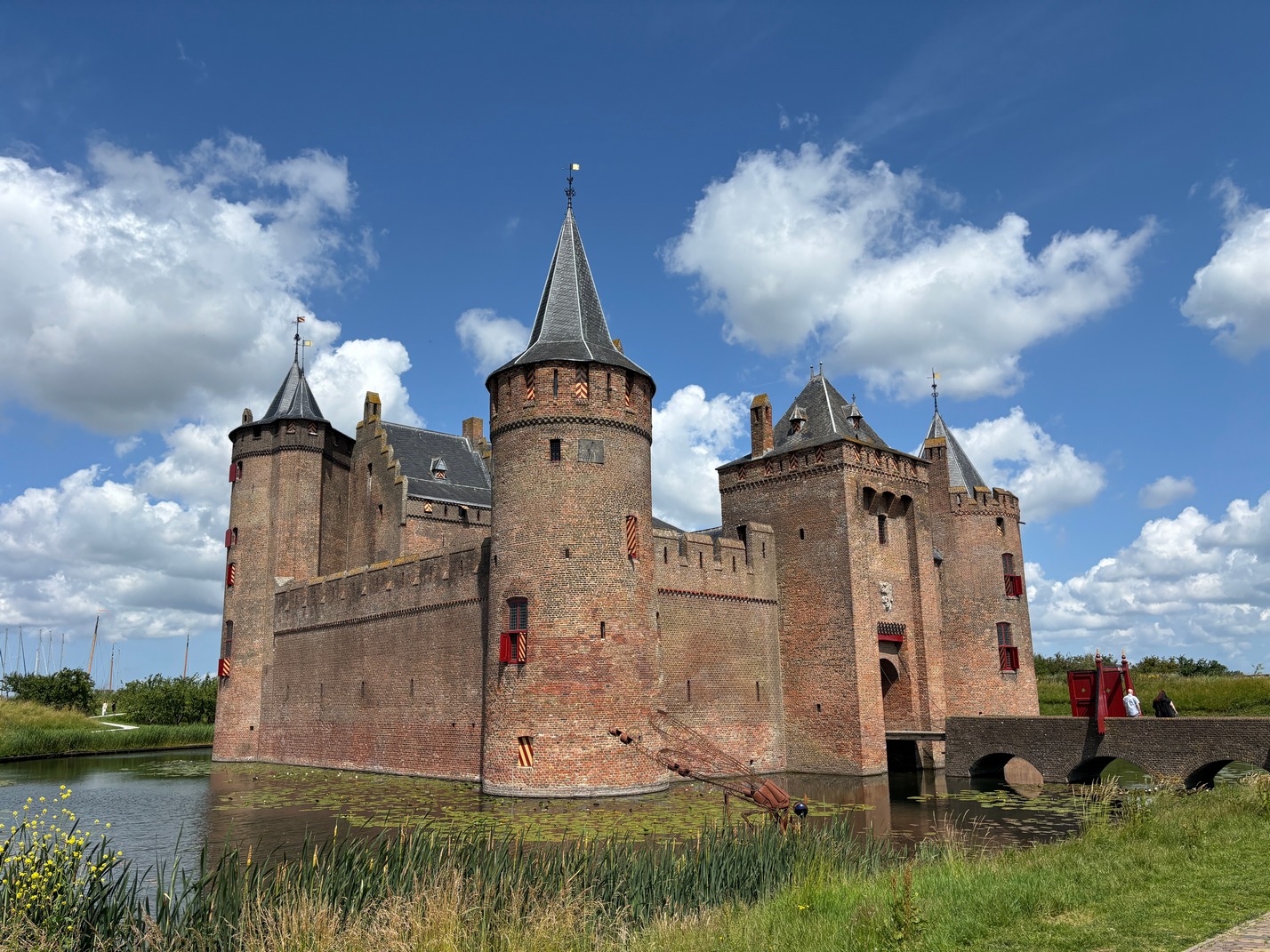
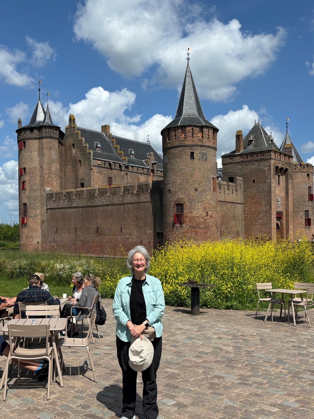
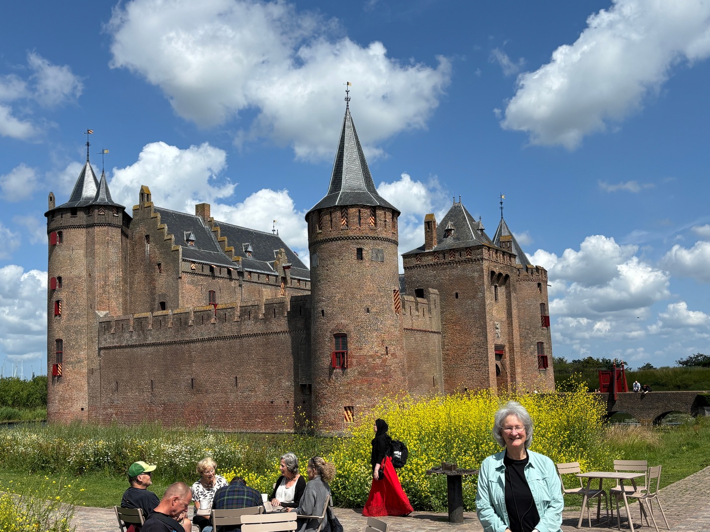
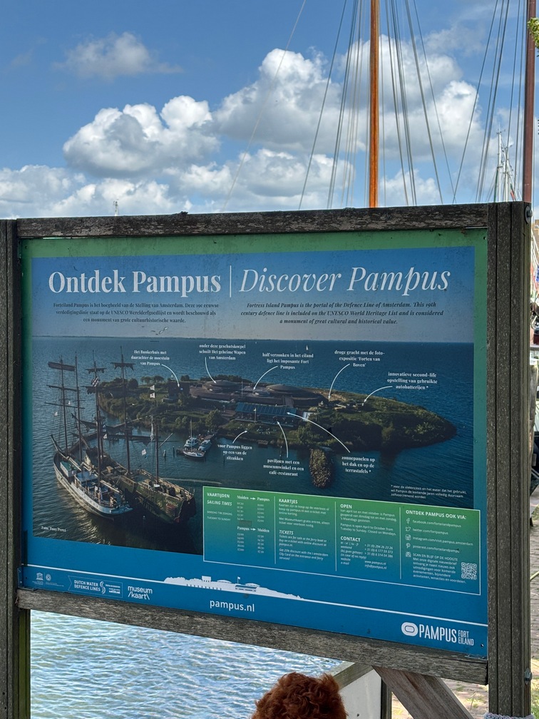
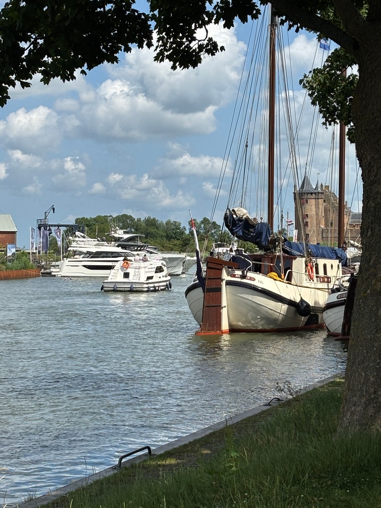
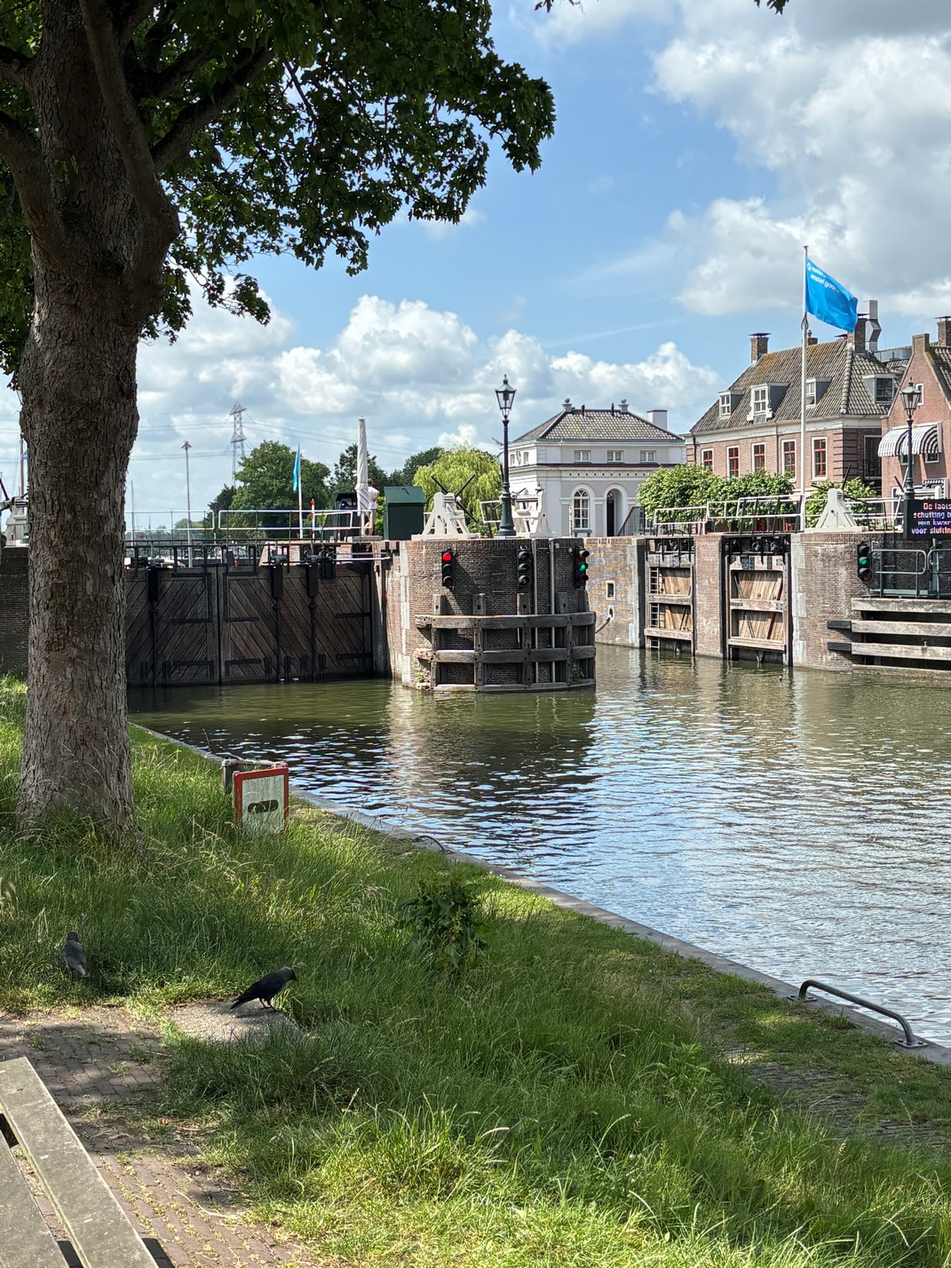
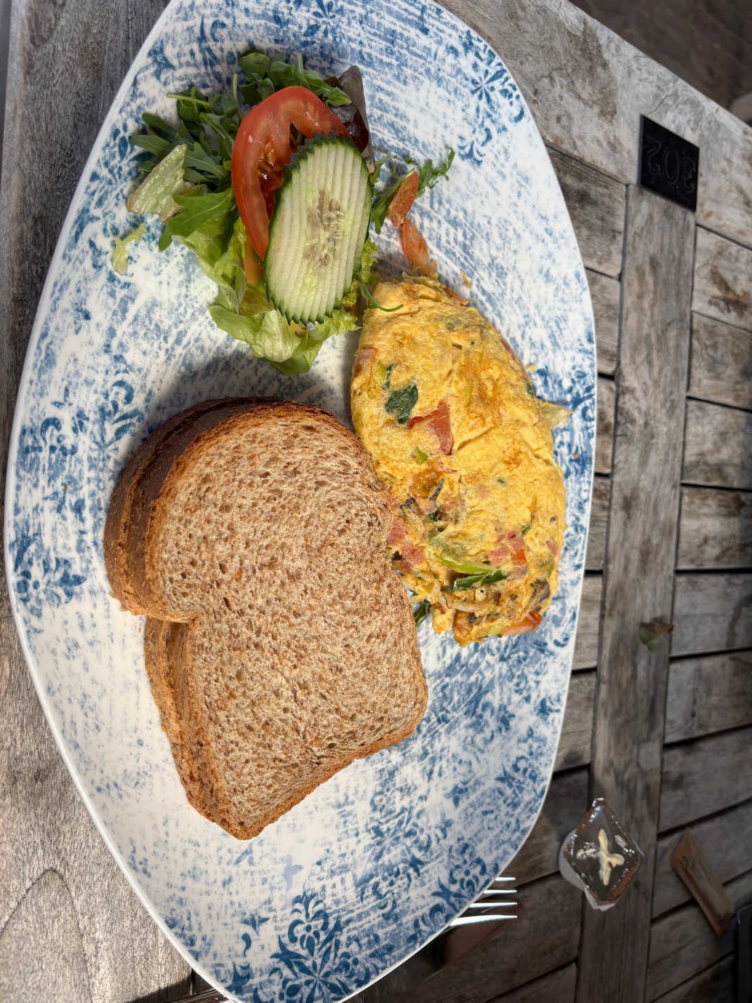
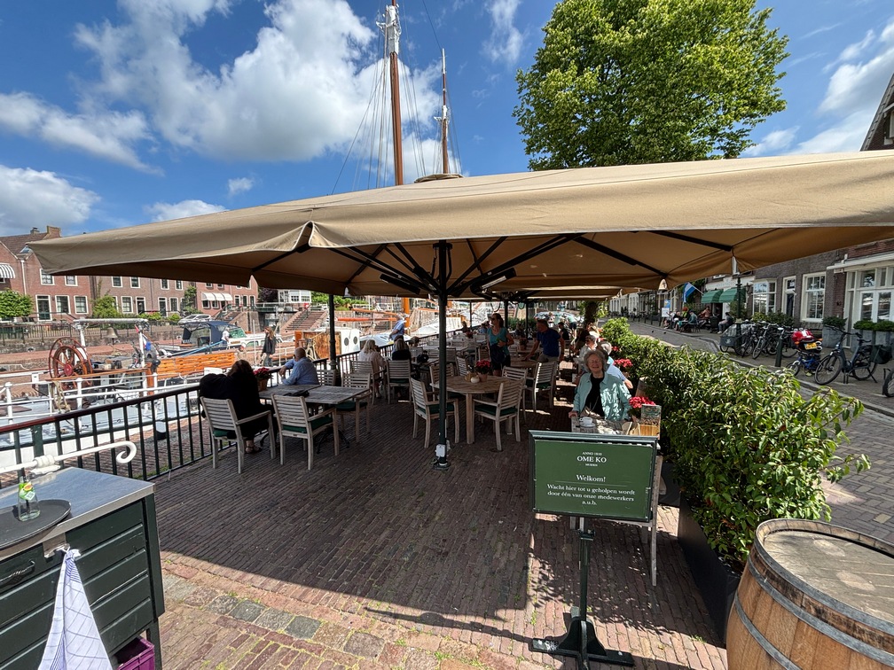
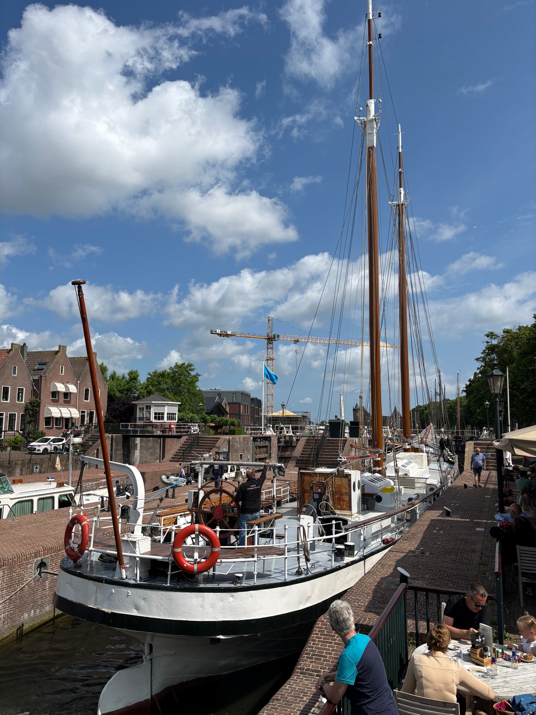
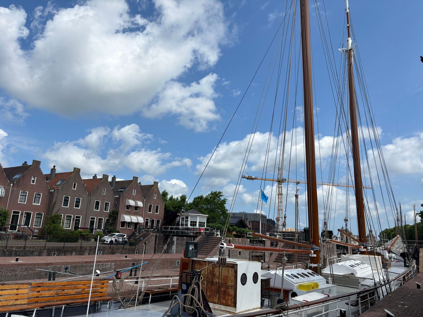
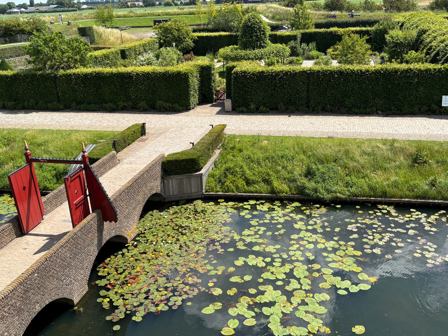
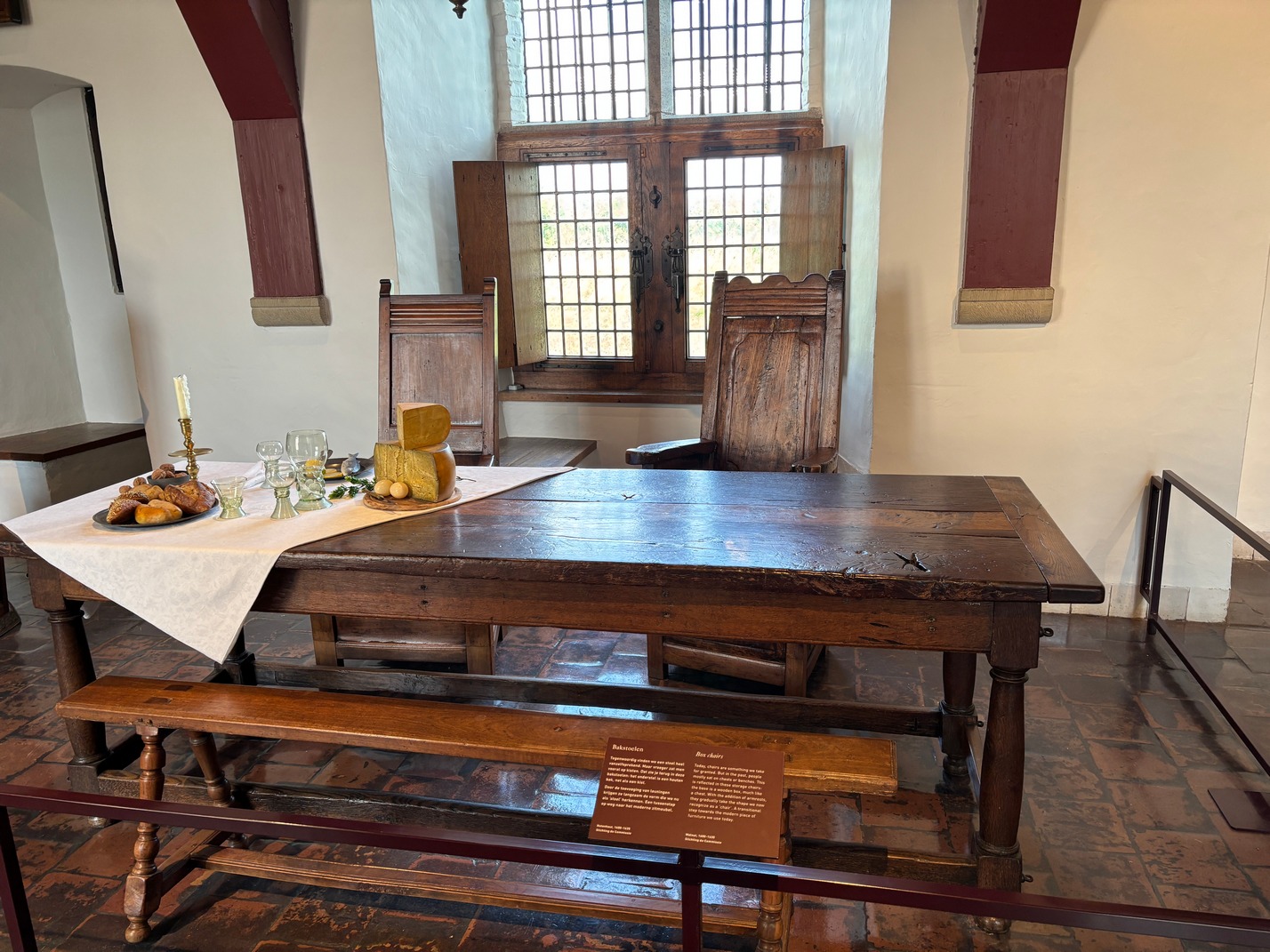
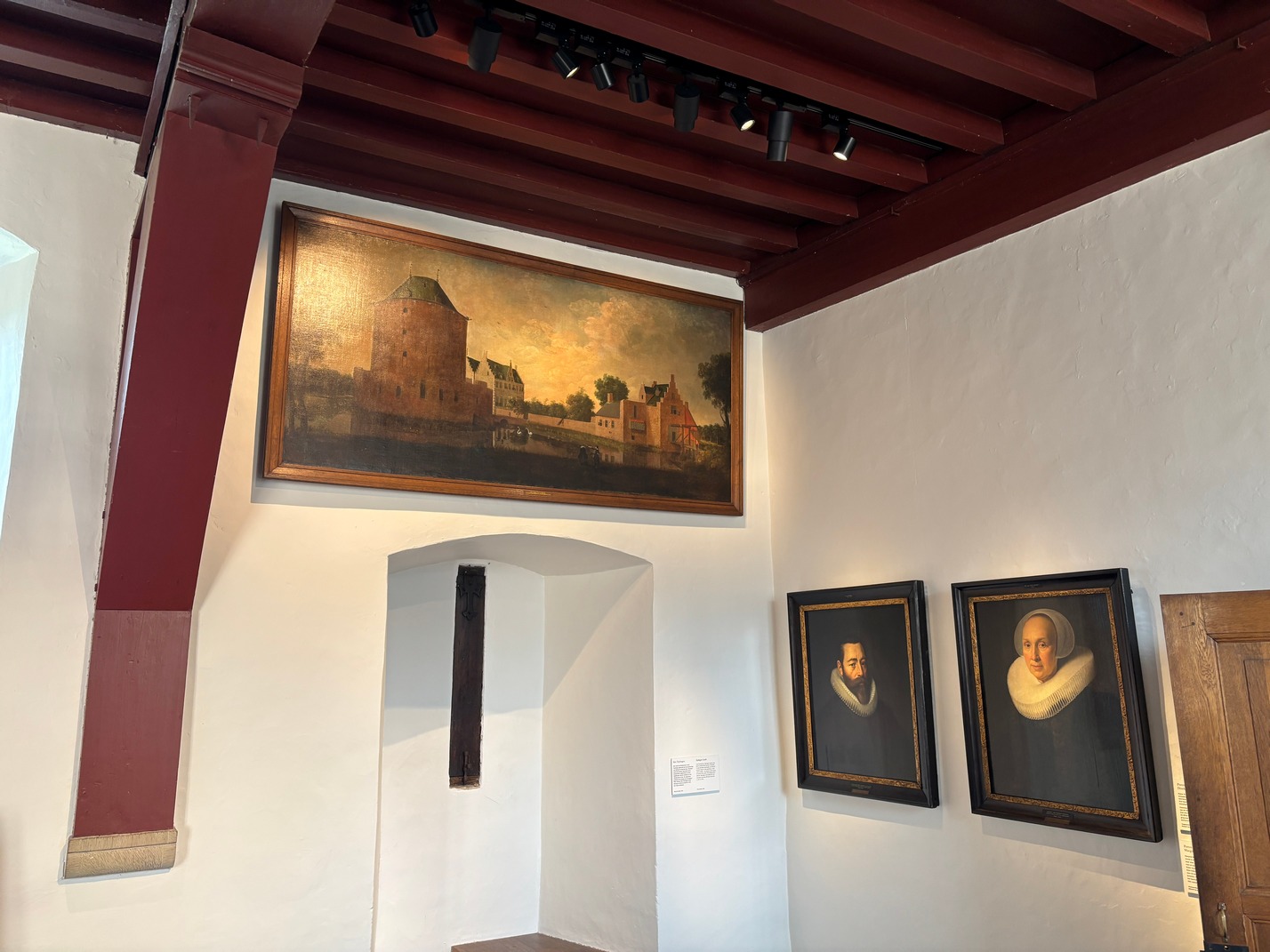
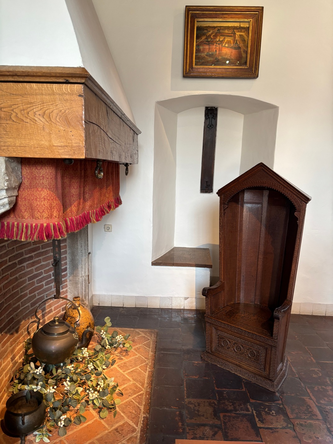
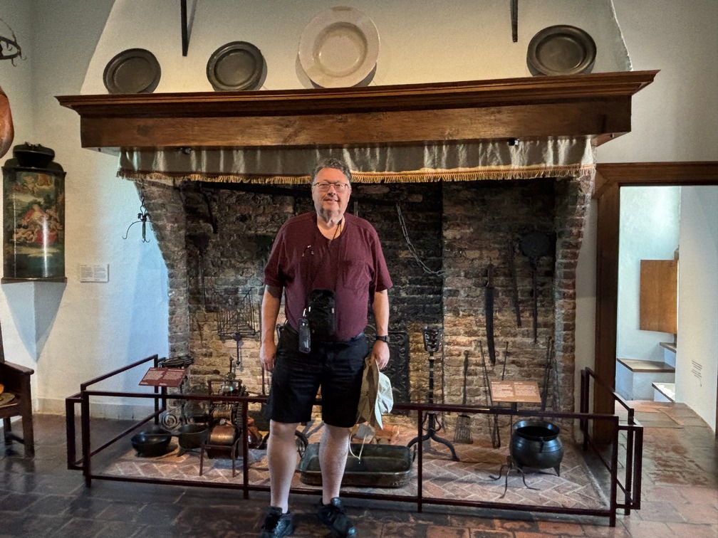
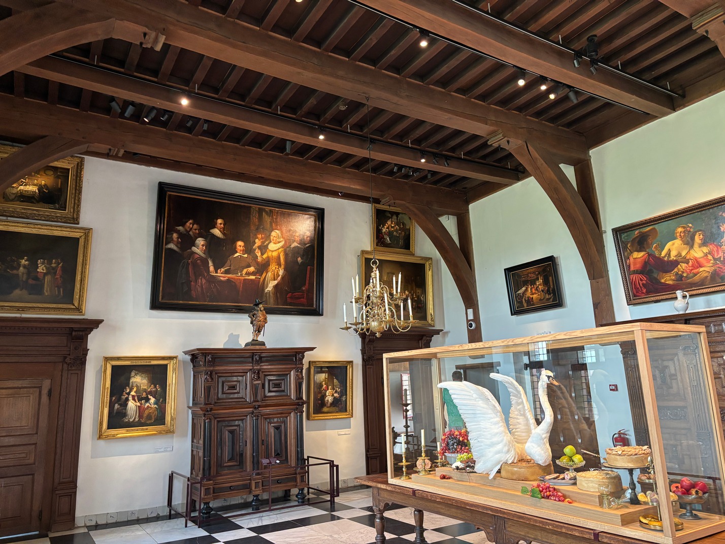
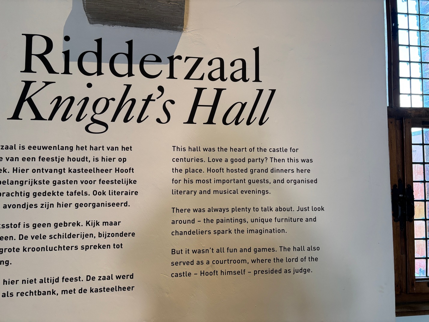
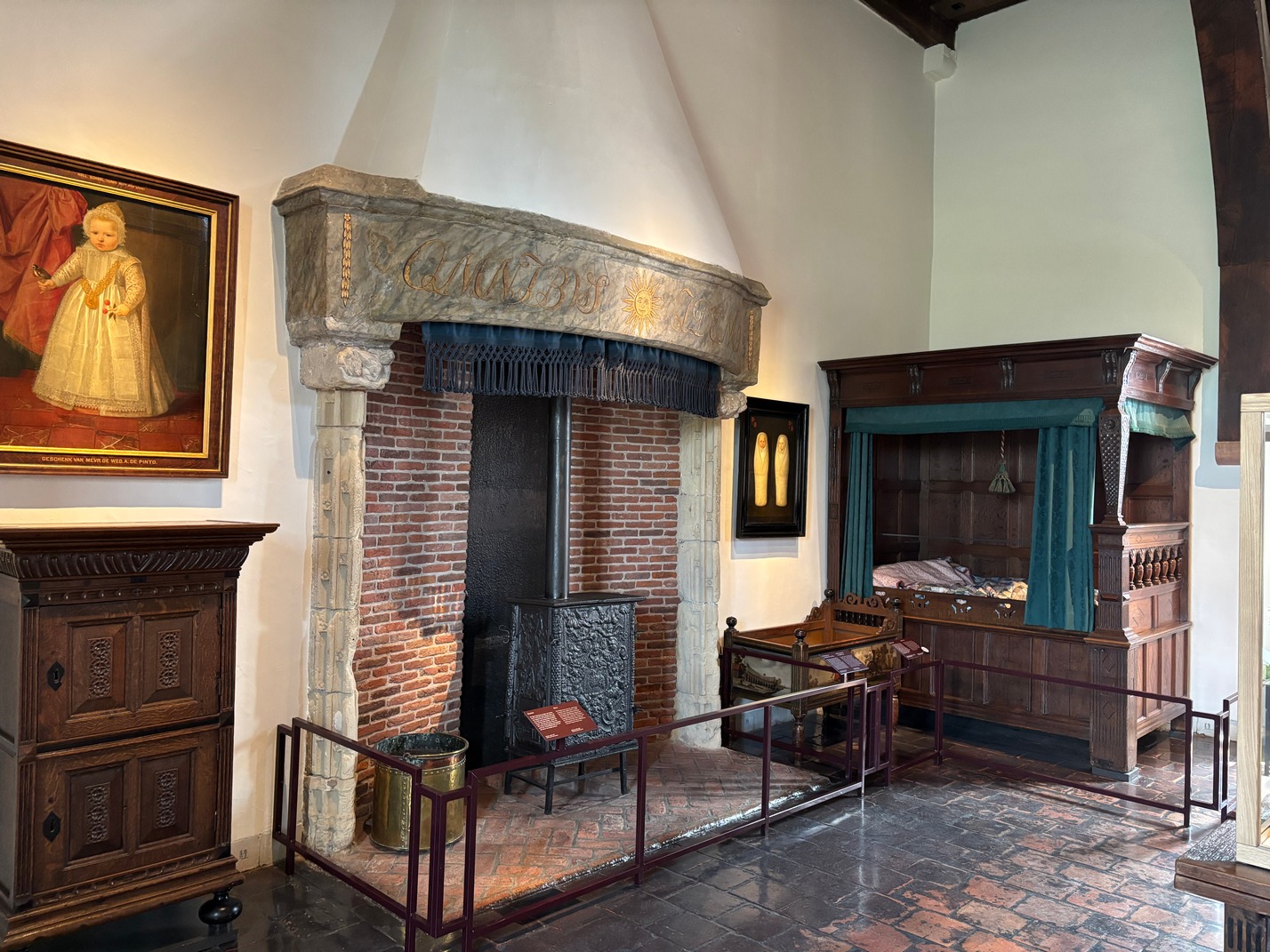
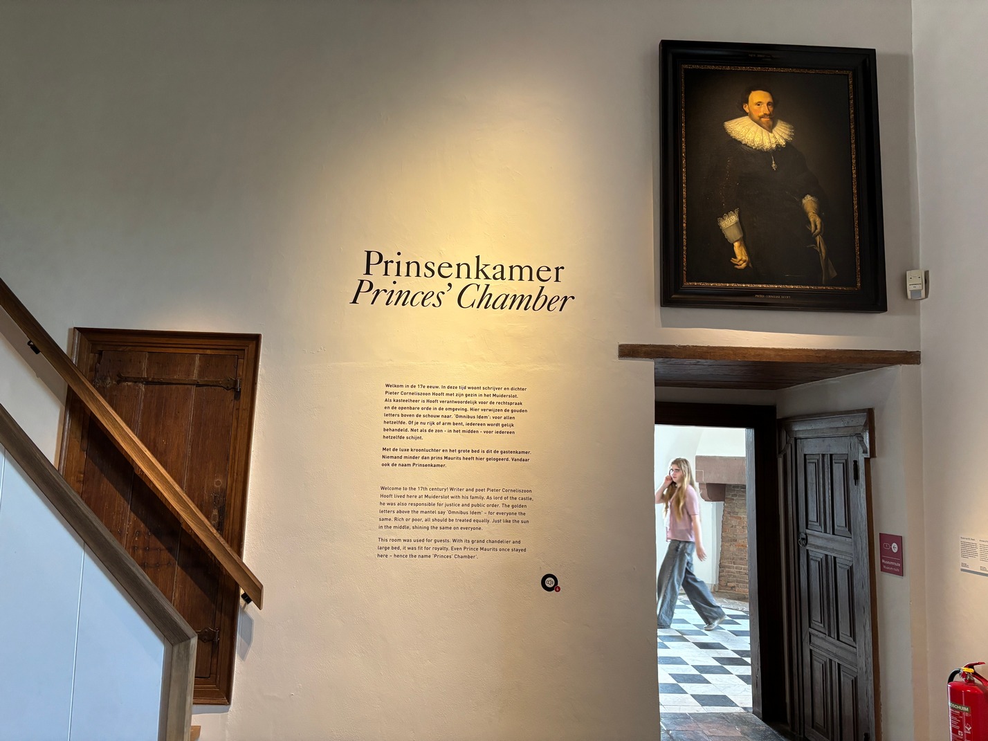
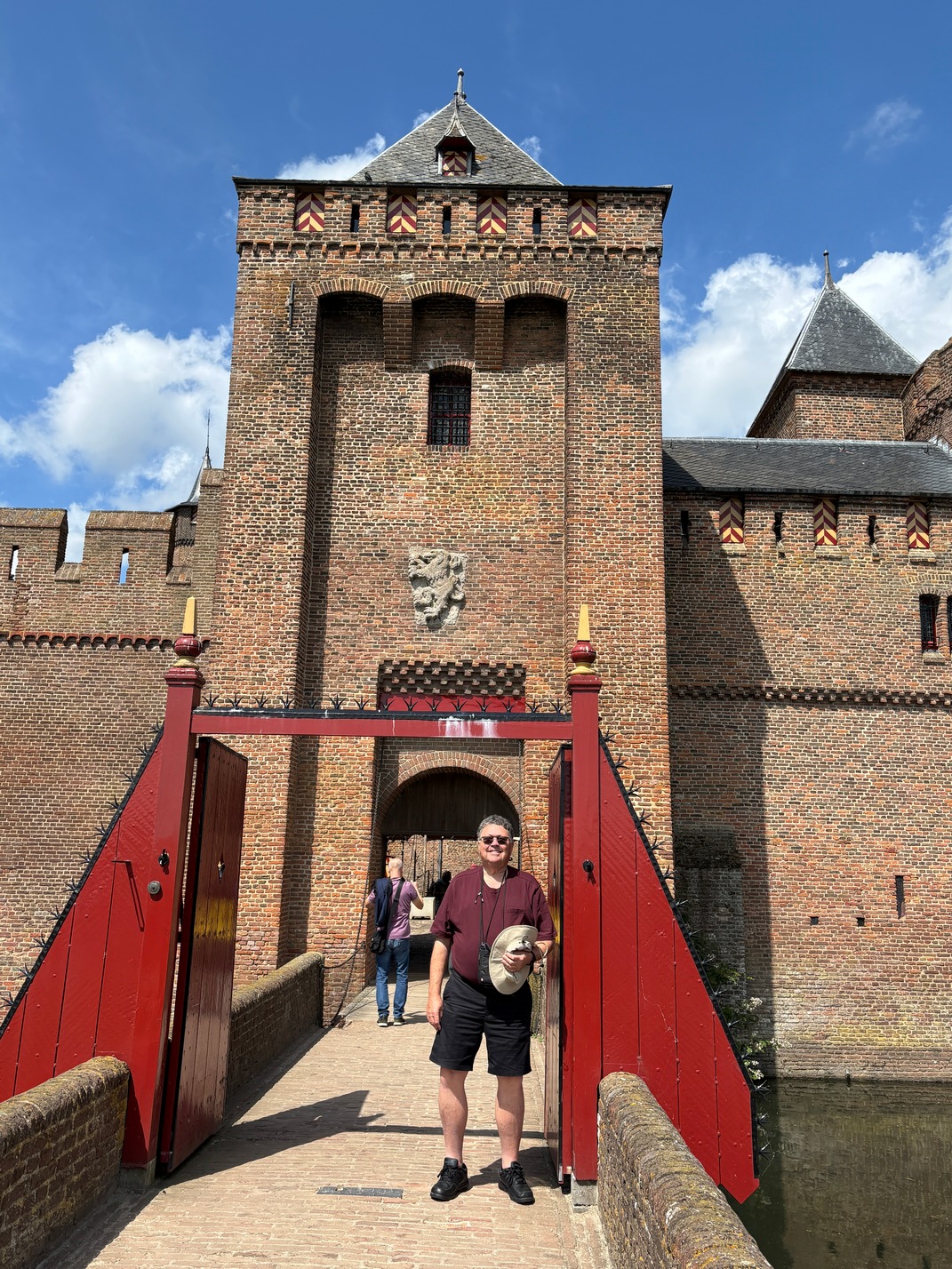
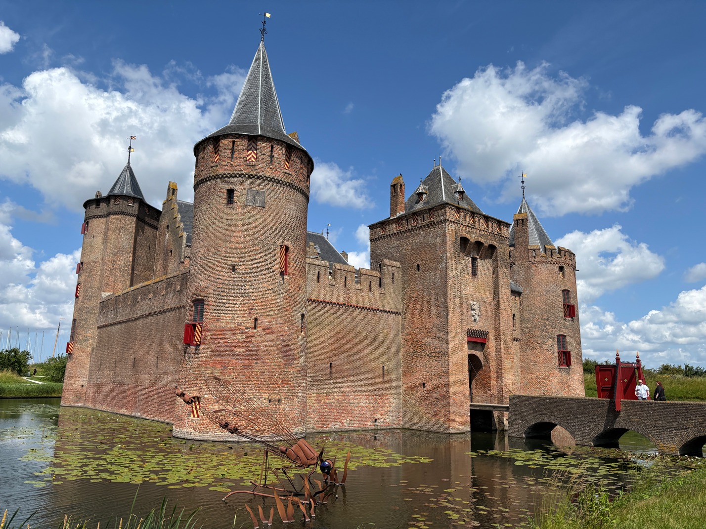
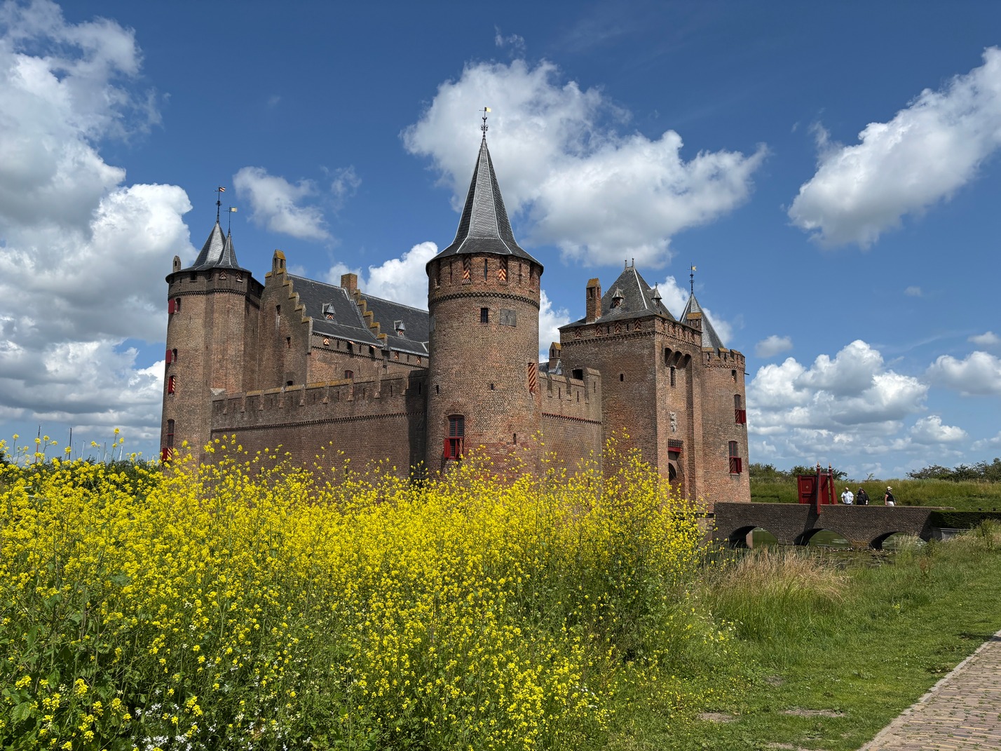
Castle Muiderslot in the small town of Muiden. Beautiful small town. Had brunch at Cafe Ome Ko and while we were awaiting our food a two masted schooner pulled up along side us to go thru the lock there to the North Sea. When I had looked at the lock I wasn’t sure why it was there, it looked like the water on both sides was at the same height. Later while talking with a local he said it was because the north sea is a few centimeters higher than the river. This castle was pretty amazing and actually almost pretty.
We headed back to the hotel and later that eveing we went and had our last dinner in Amsterdam at Friet van Oost (Loosly translates to Fries of the East) They had the best Spicy Hamburger I’ve ever encountered! Over the 7 nights this was our third time eating dinner there. Kathy tried 3 bowls, Tuna, Chicken and Salmon the three nights.
Things to know about Amsterdam. The Trams and White/Blue buses do not have A/C, the Red Buses do. The red buses seem to be the one that take you longer distances, like out to different towns while the W/B are inner city buses. Also its Tap 2 Pay, but the difference here is you must tap to get out too.
We take the EuroStar to Brussels in the morning.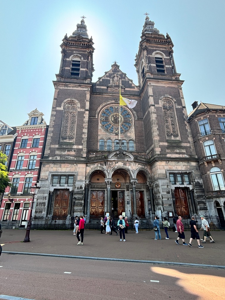
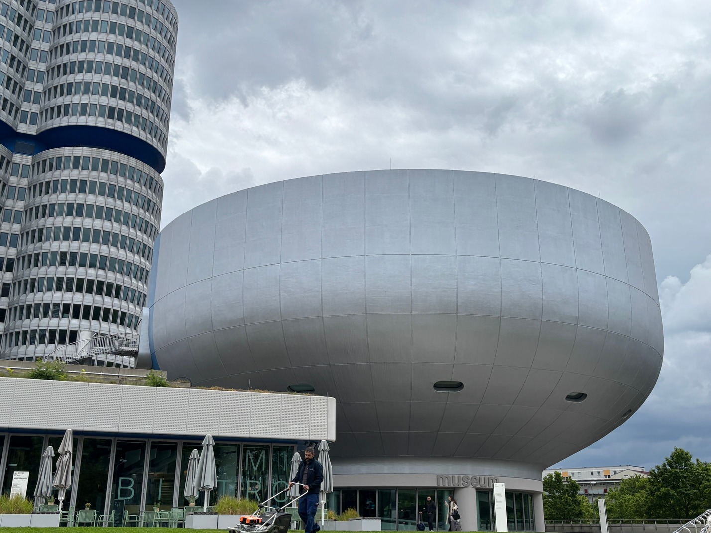
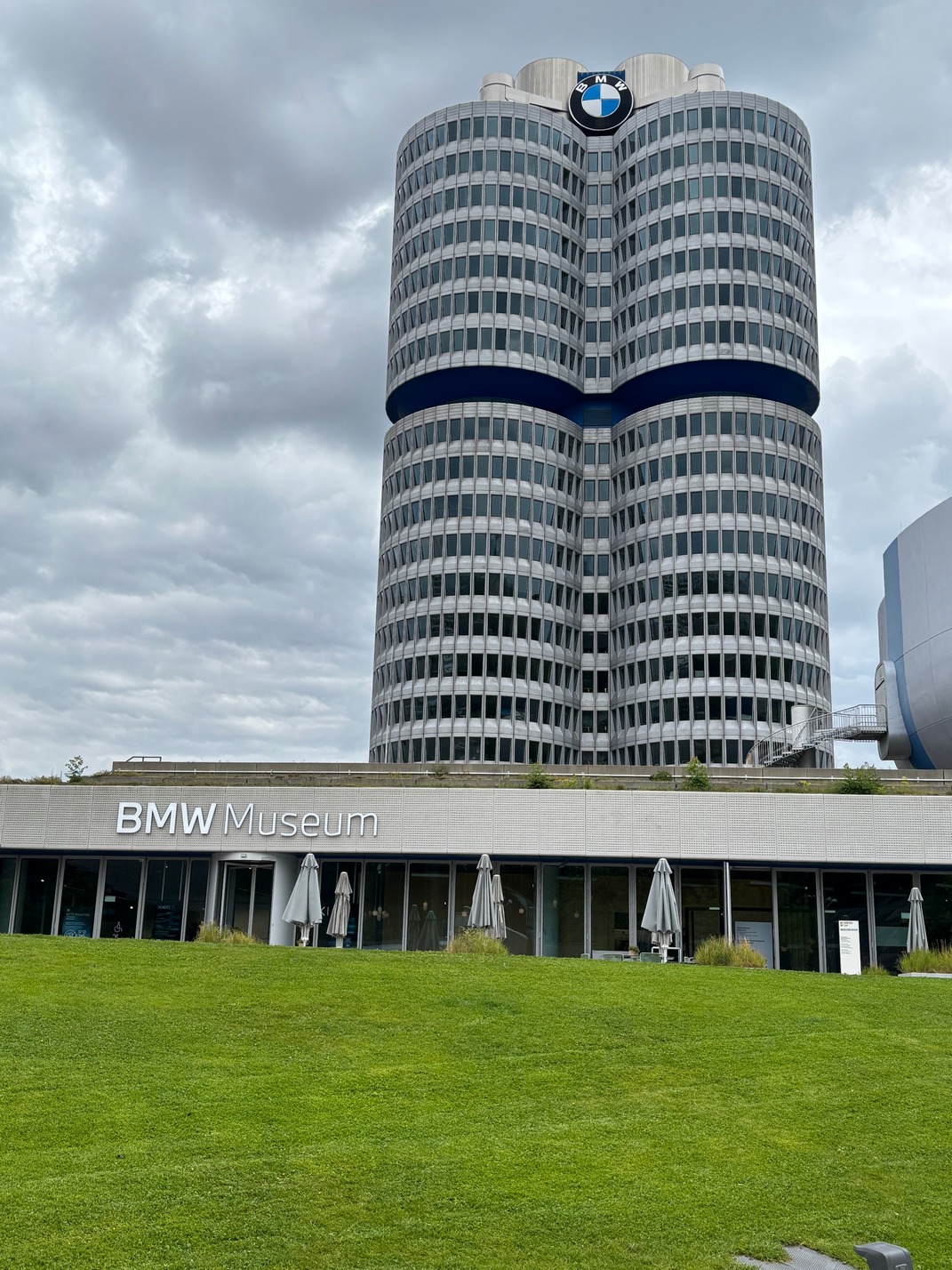
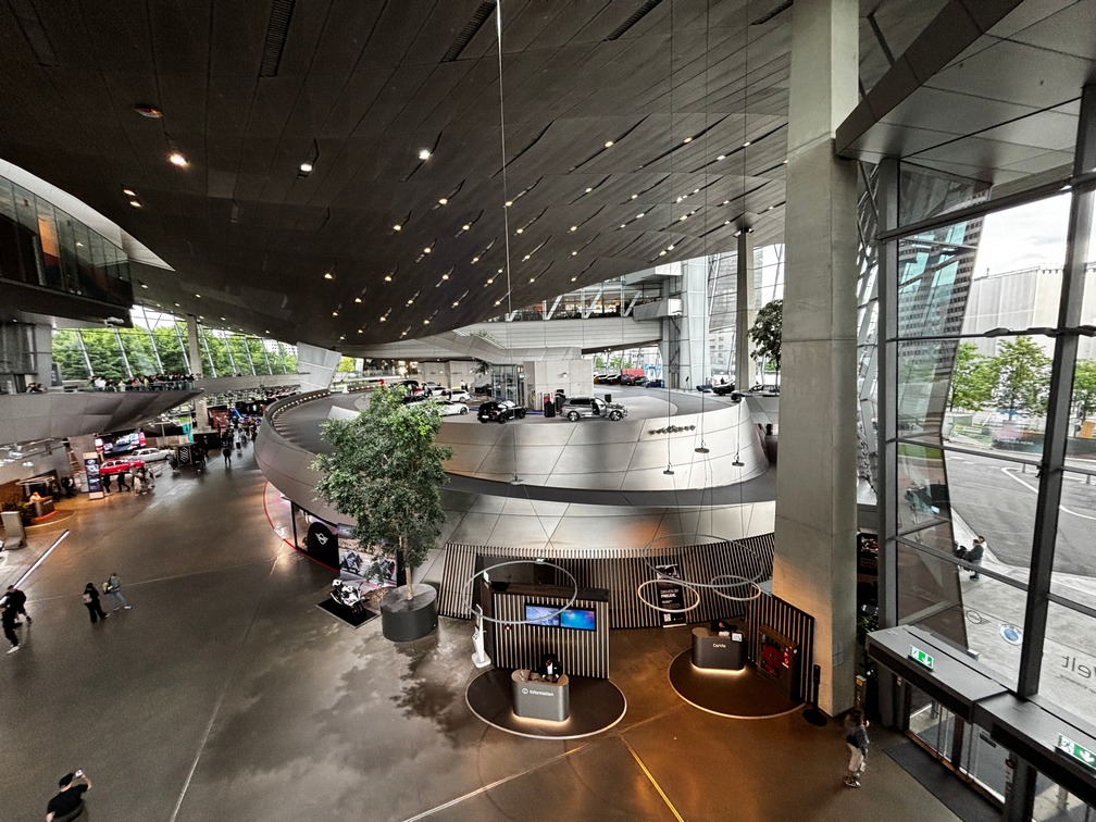
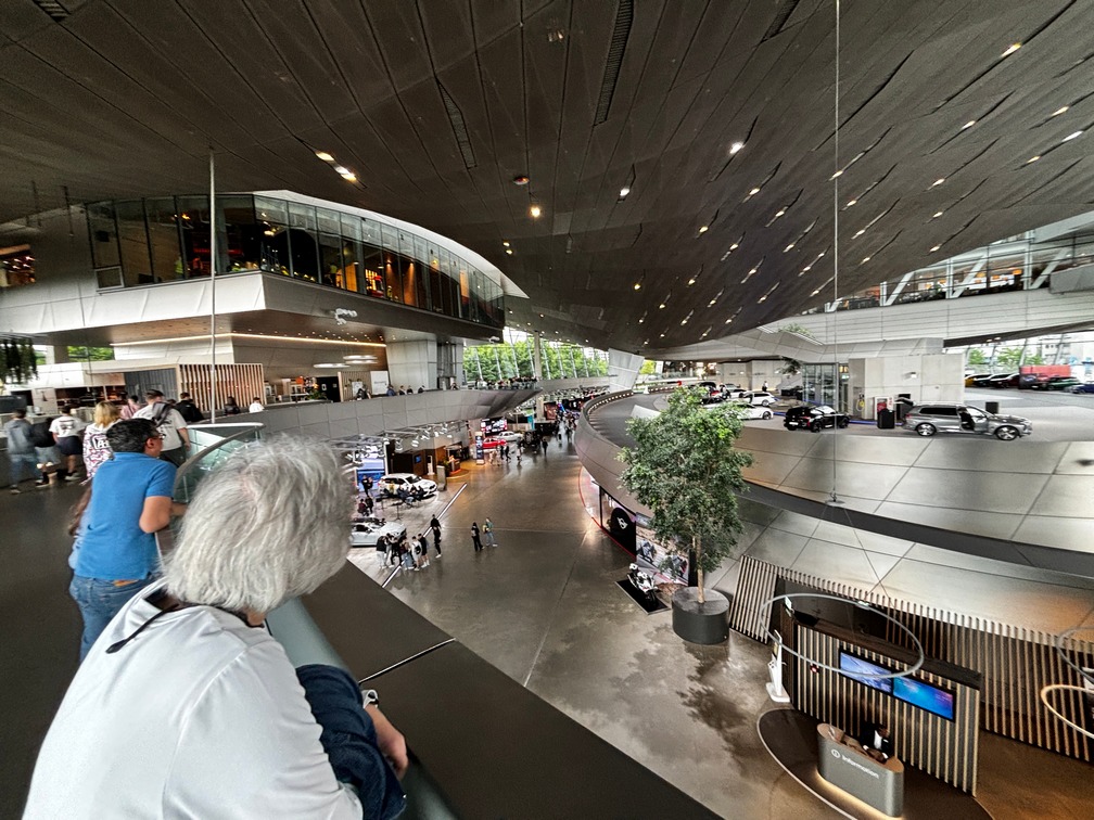
![]()
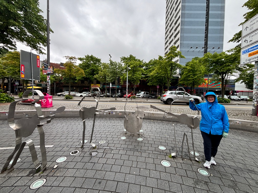
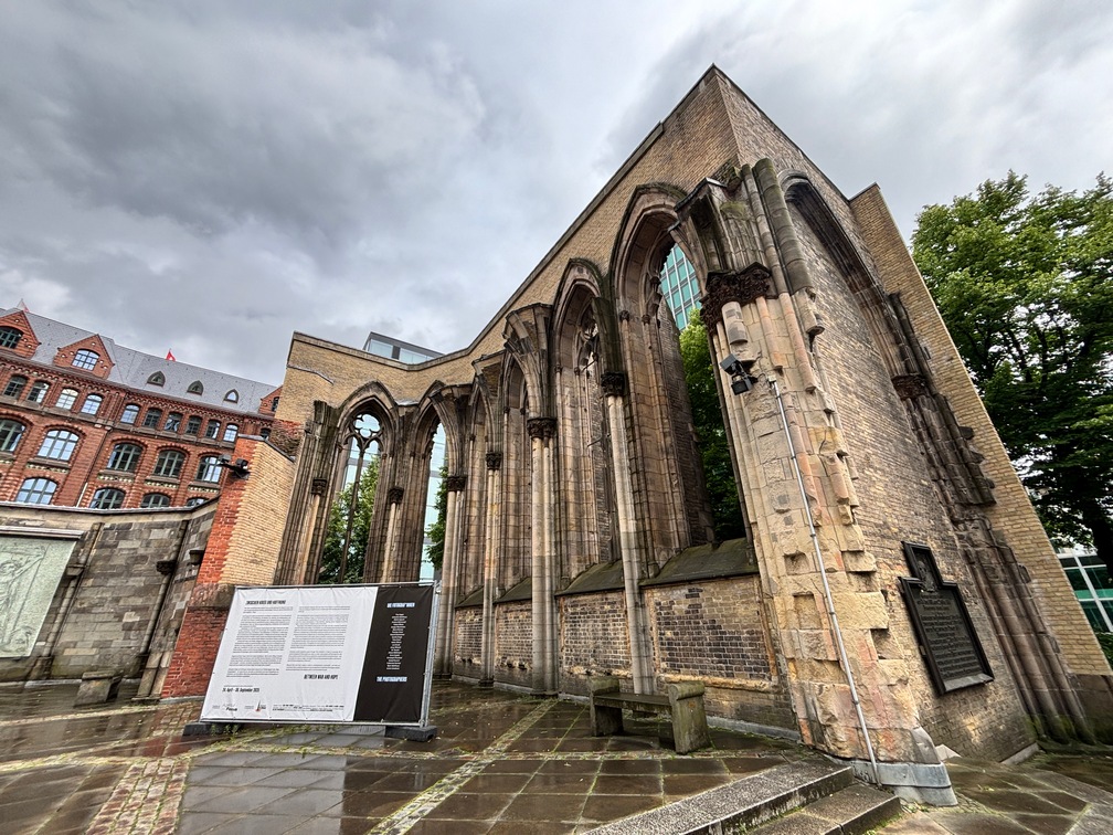
Hamburg Germany
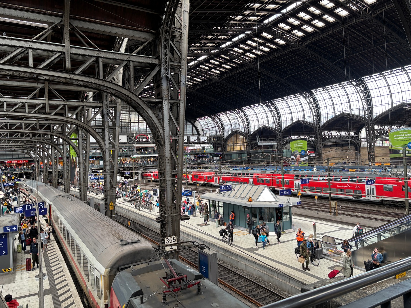
 We arrived in Hamburg after a longish 5 hour train ride from Copenhagen thru very beautiful countryside. Hamburg is a very big train station where we finally found our way outside to get a cab for a long ride to hotel which was out in the industrial section of town.
We walked to get dinner at a street food place , beef cut from one of those rotisseries like gyro’s lamb is cooked. Then walked back and ate it in the hotel.
Saturday lunch at Hotel $$$ It was ok, but probably not worth what it cost.
Massage
Sunday Breakfast at hotel was very good. Afterward we walked out to the bus 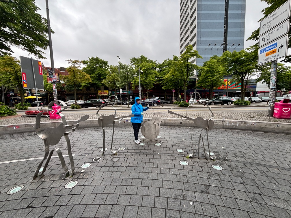 stop and headed toward the Beatles Platz in the rain. It is in a seedy part of Hamburg, which I’m pretty sure is the red light district.
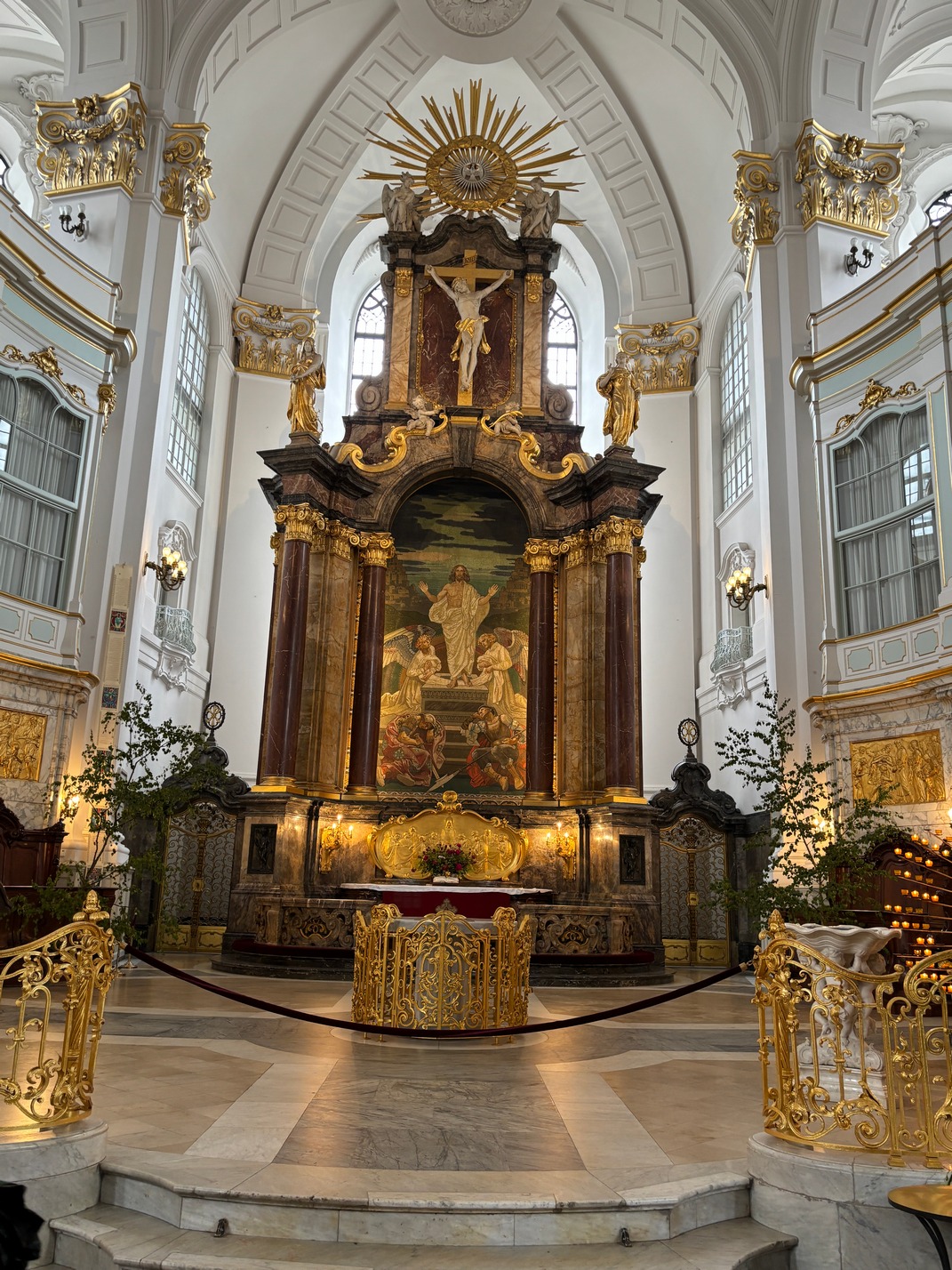
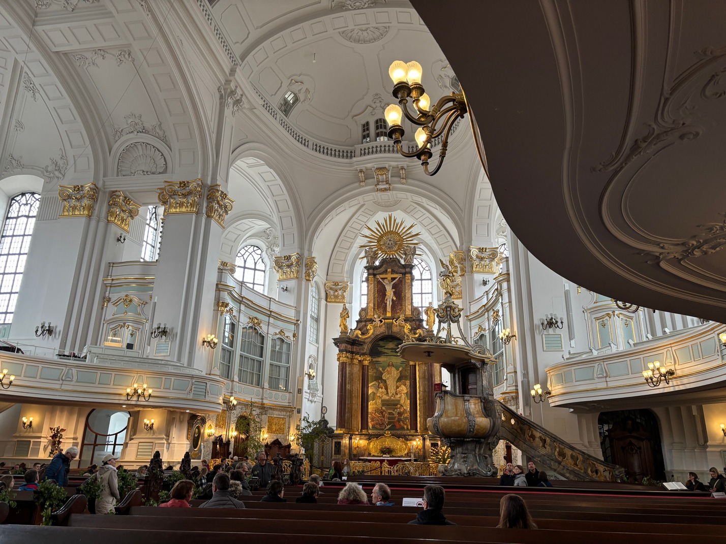
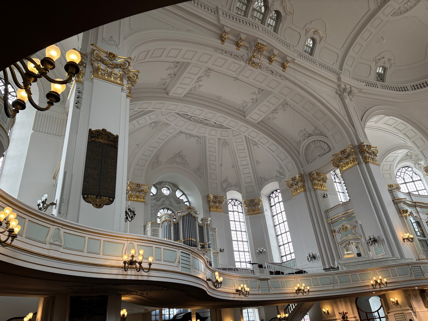
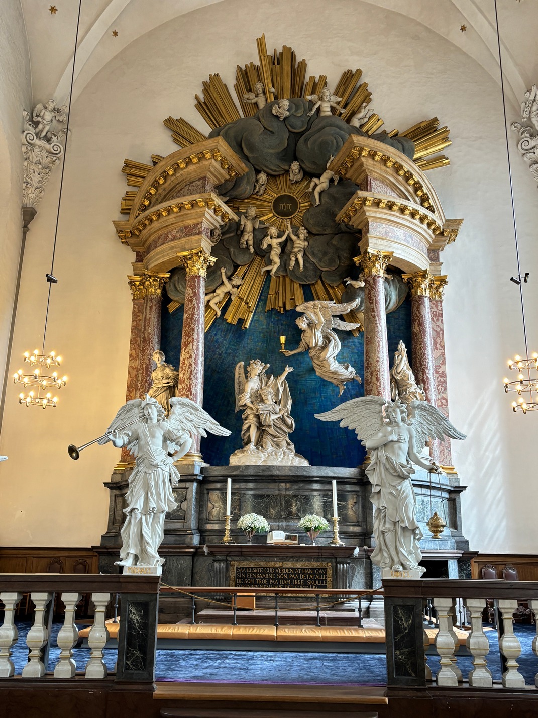
 More bus rides over to St Michael’s and lunch across the street.
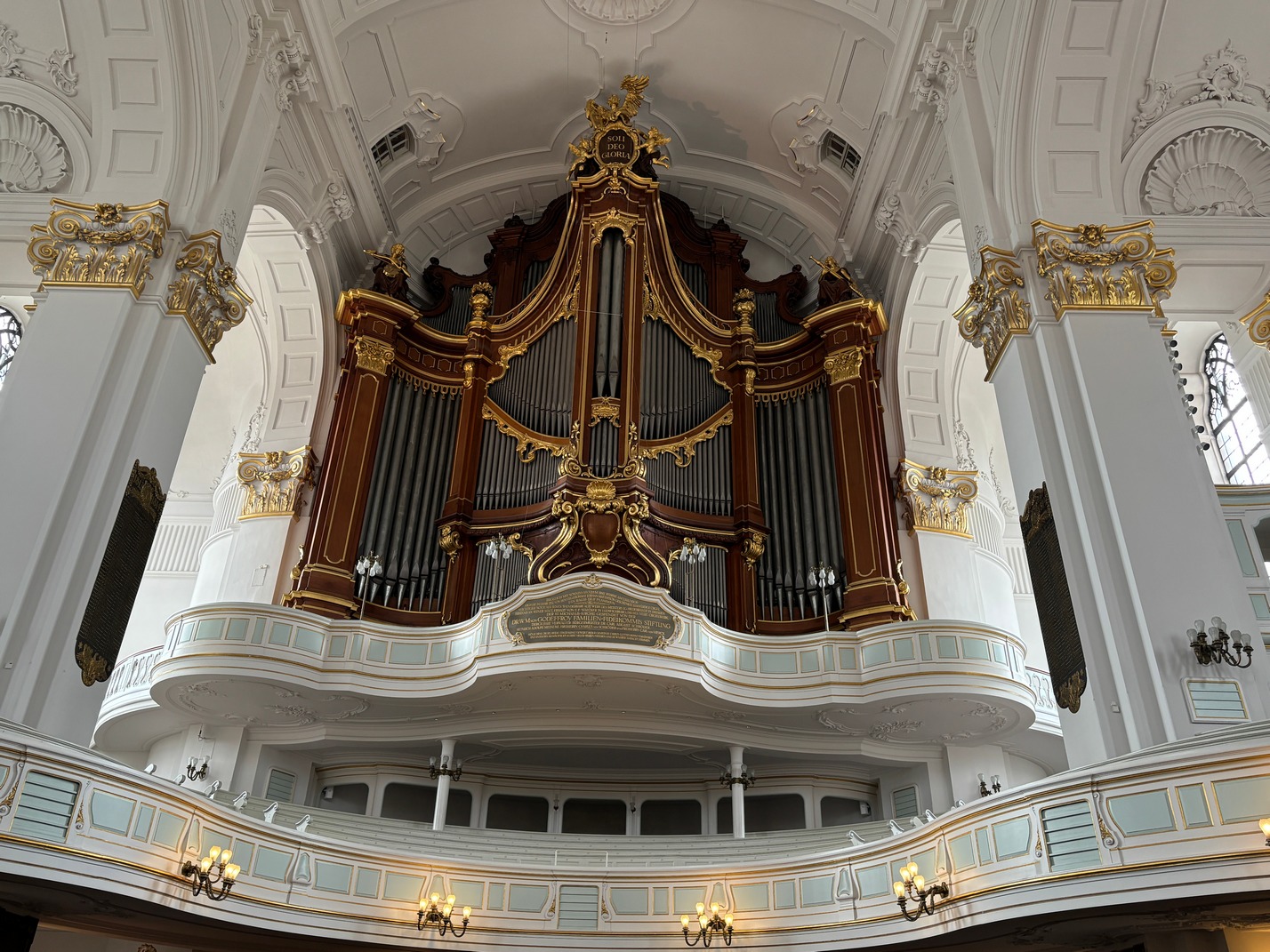

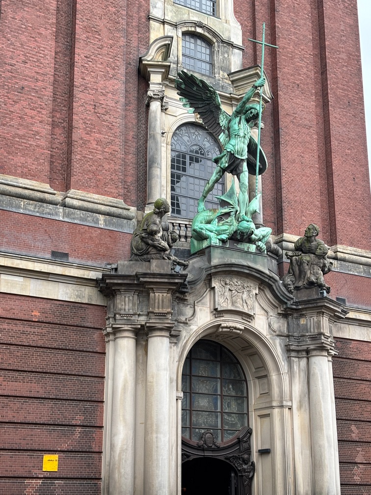
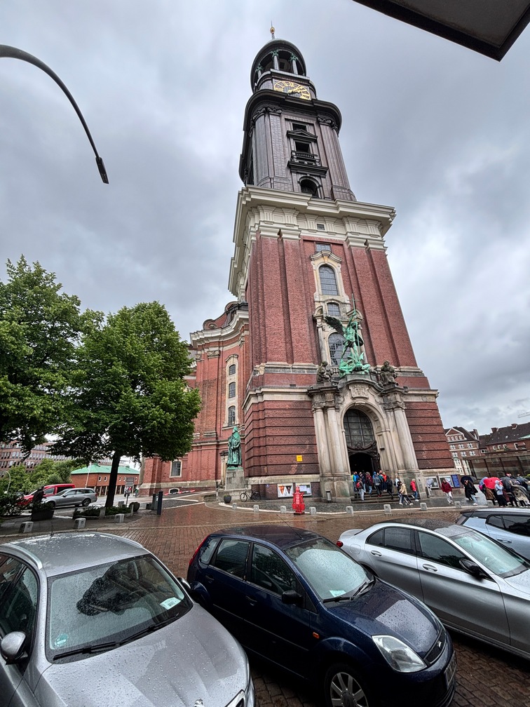
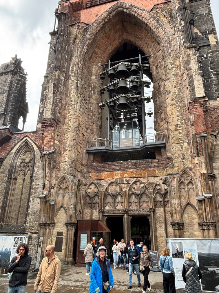
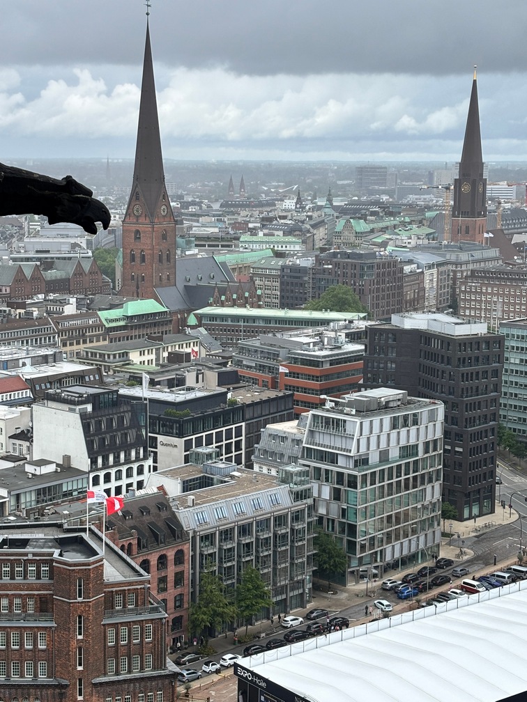
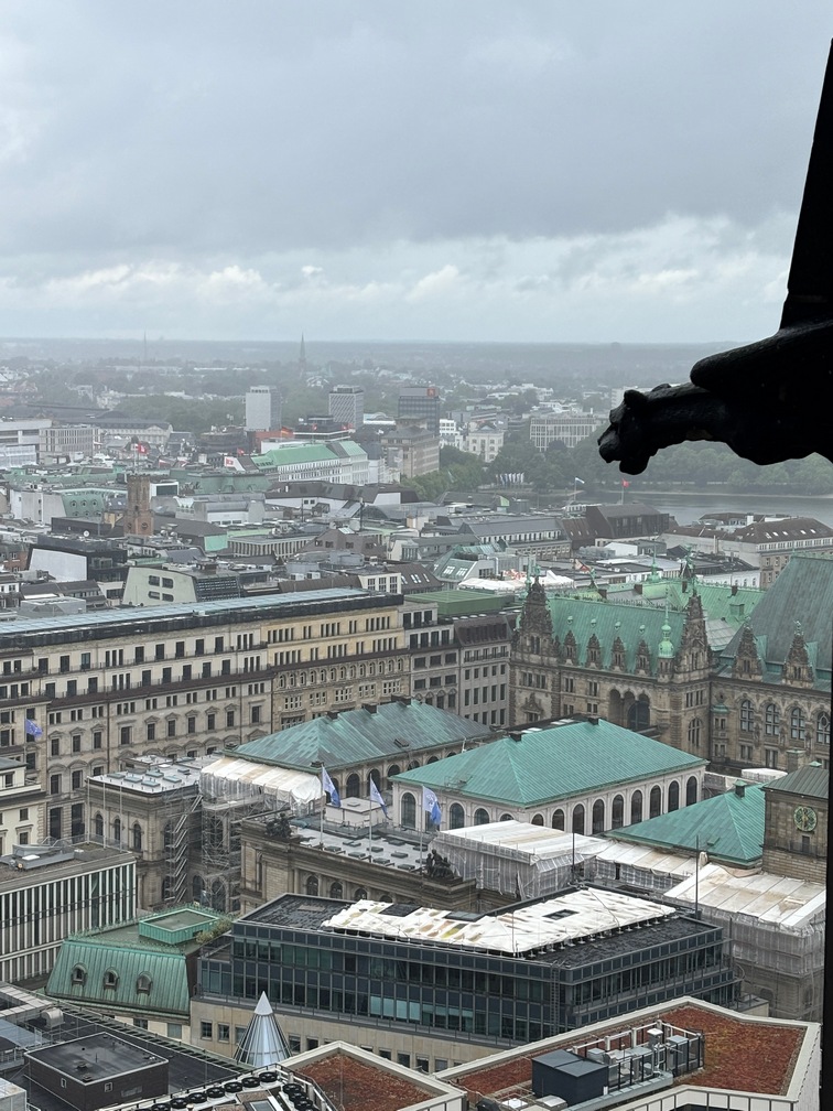
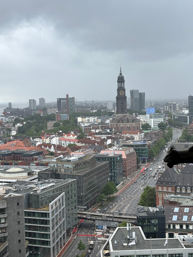
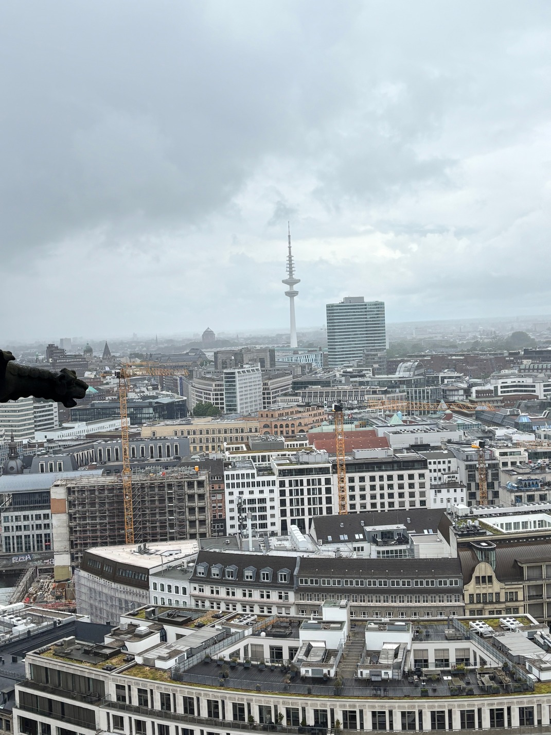
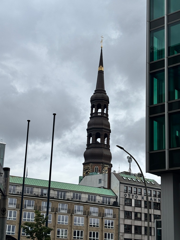
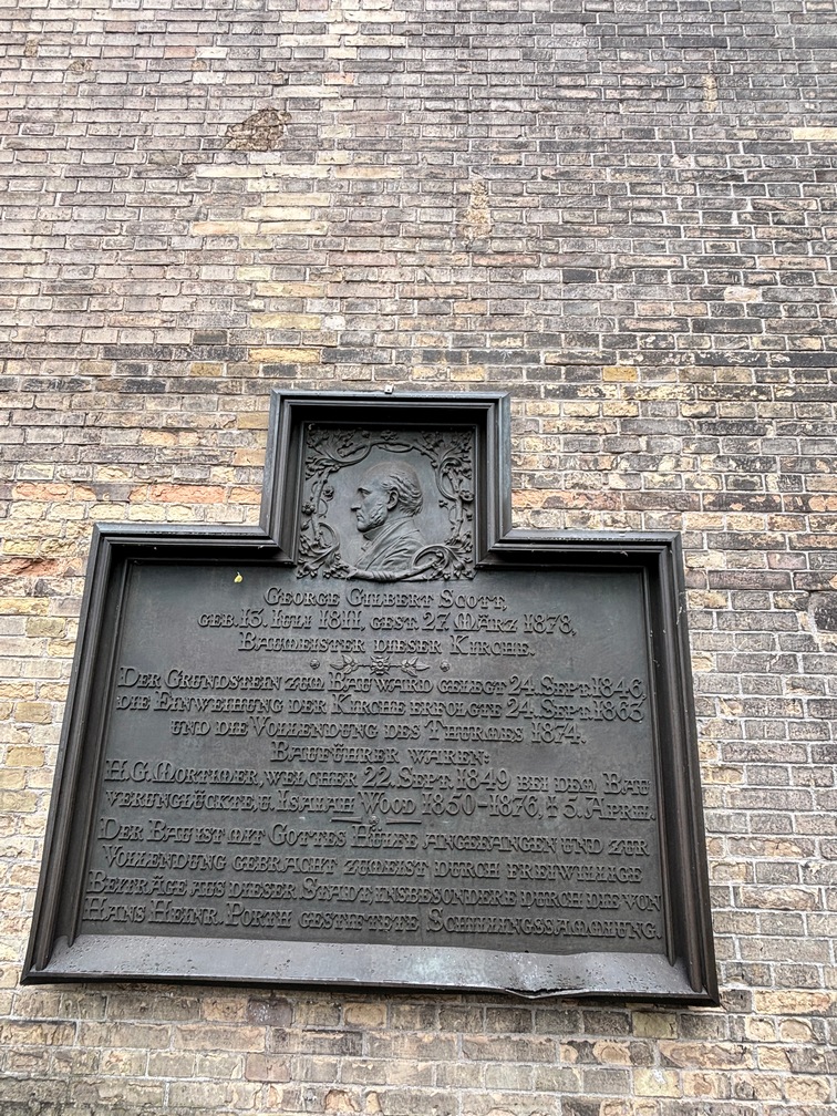
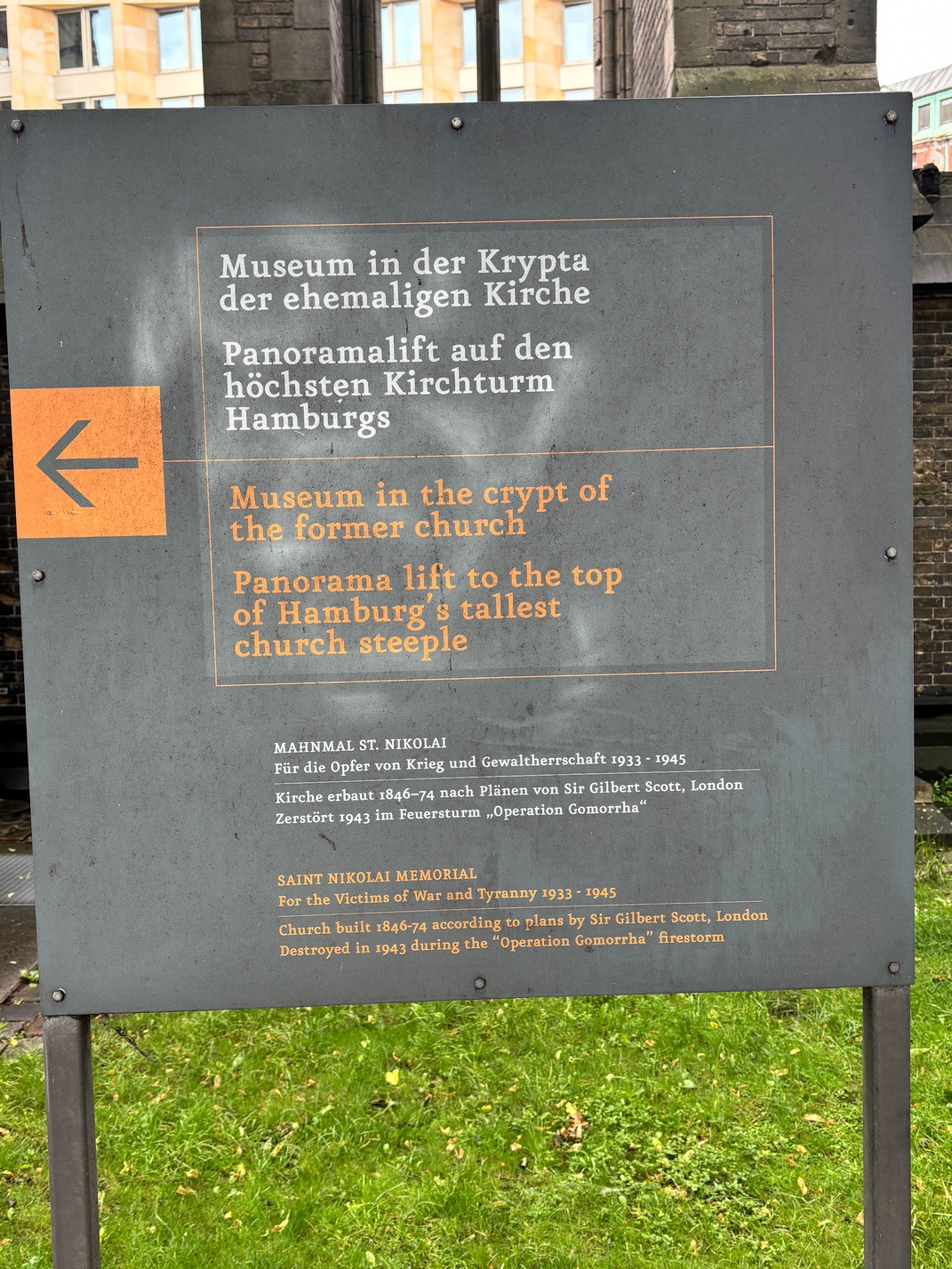
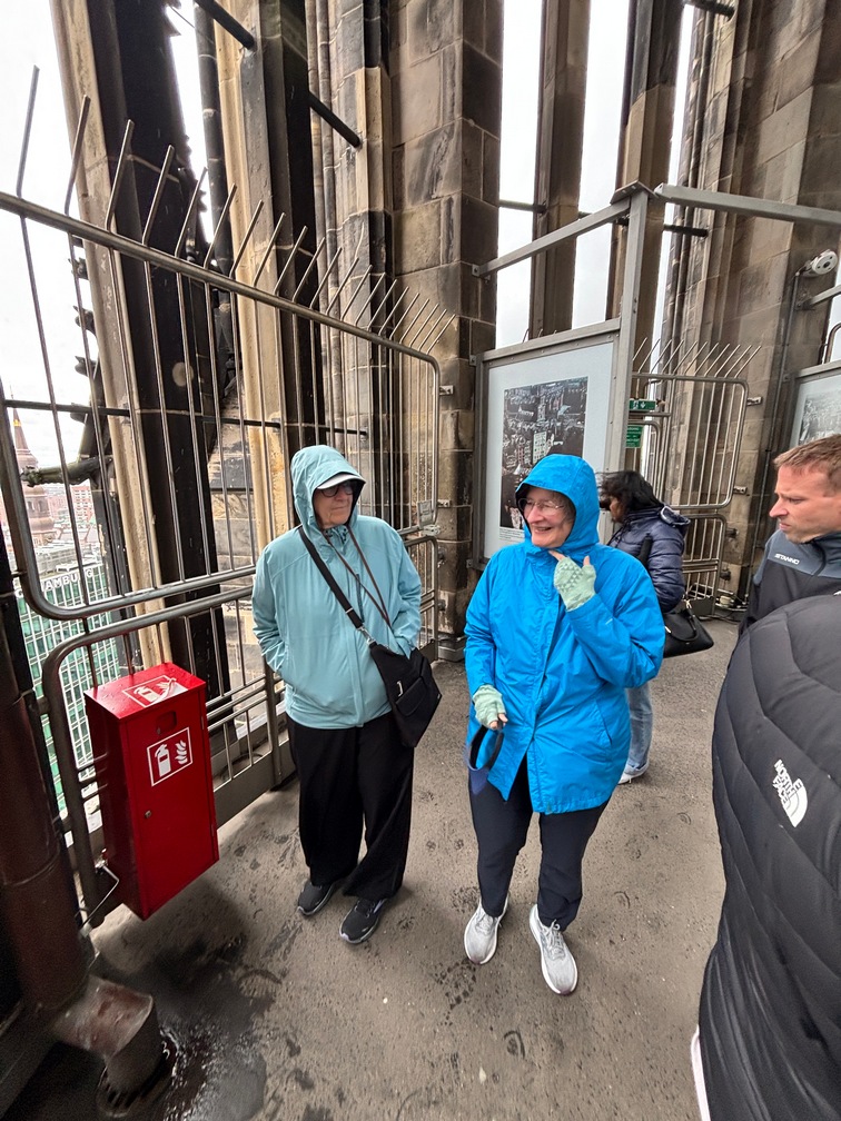
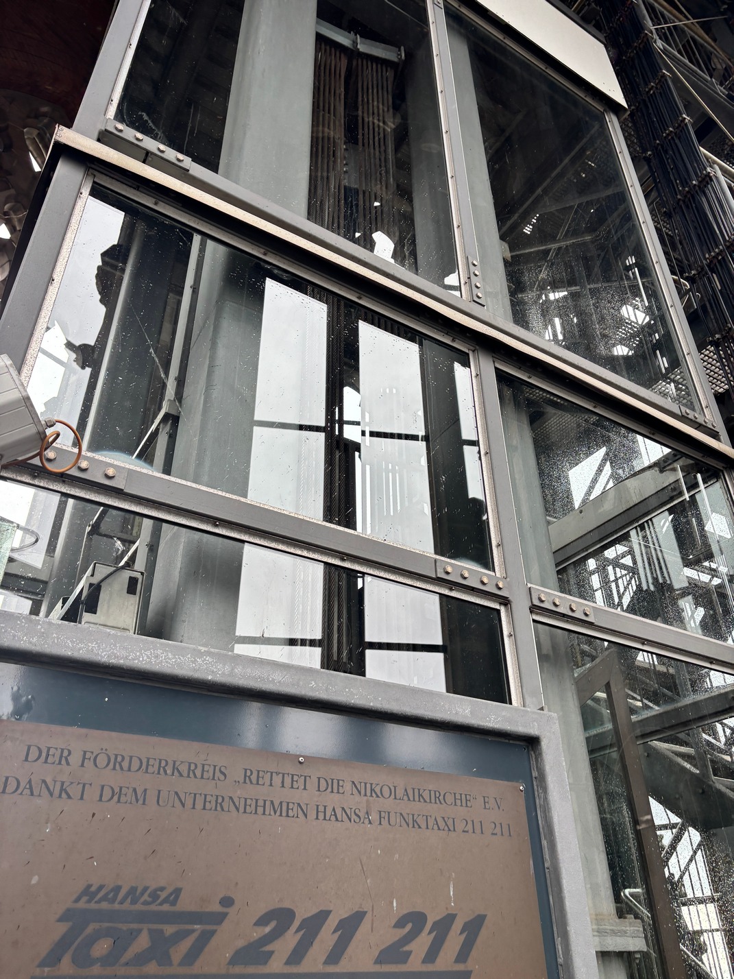
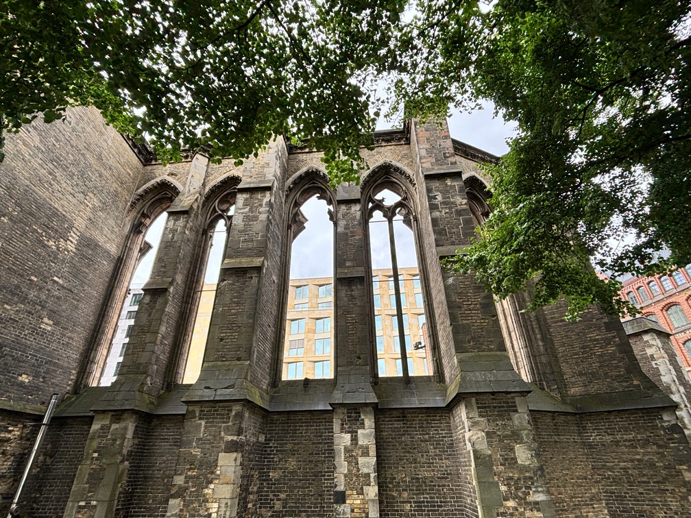
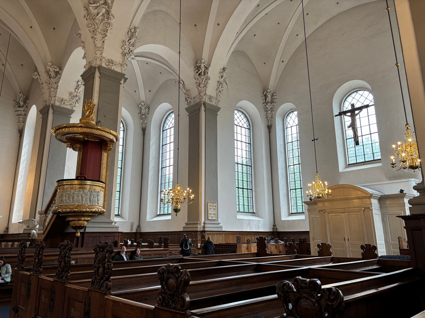
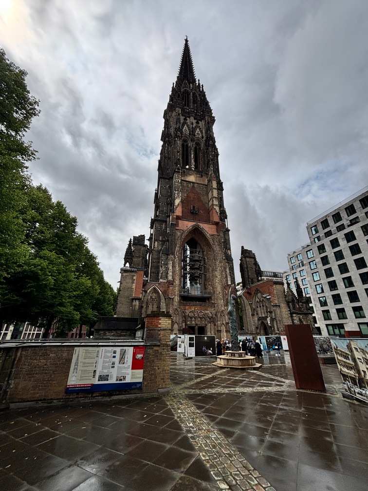 Then back out into the rain and buses off to see St Nicholas church. We paid and then rode up the elevator to the top, somewhere around 80 meters. It was cold and windy up
 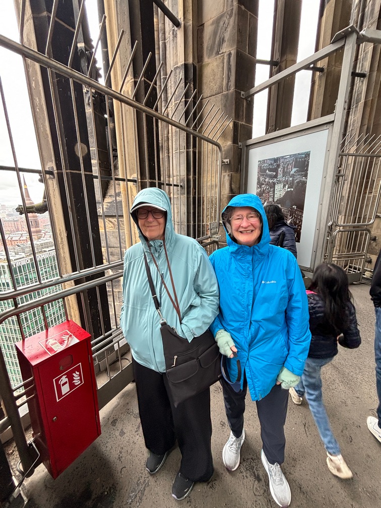 there and the rain made if feel a bit colder.
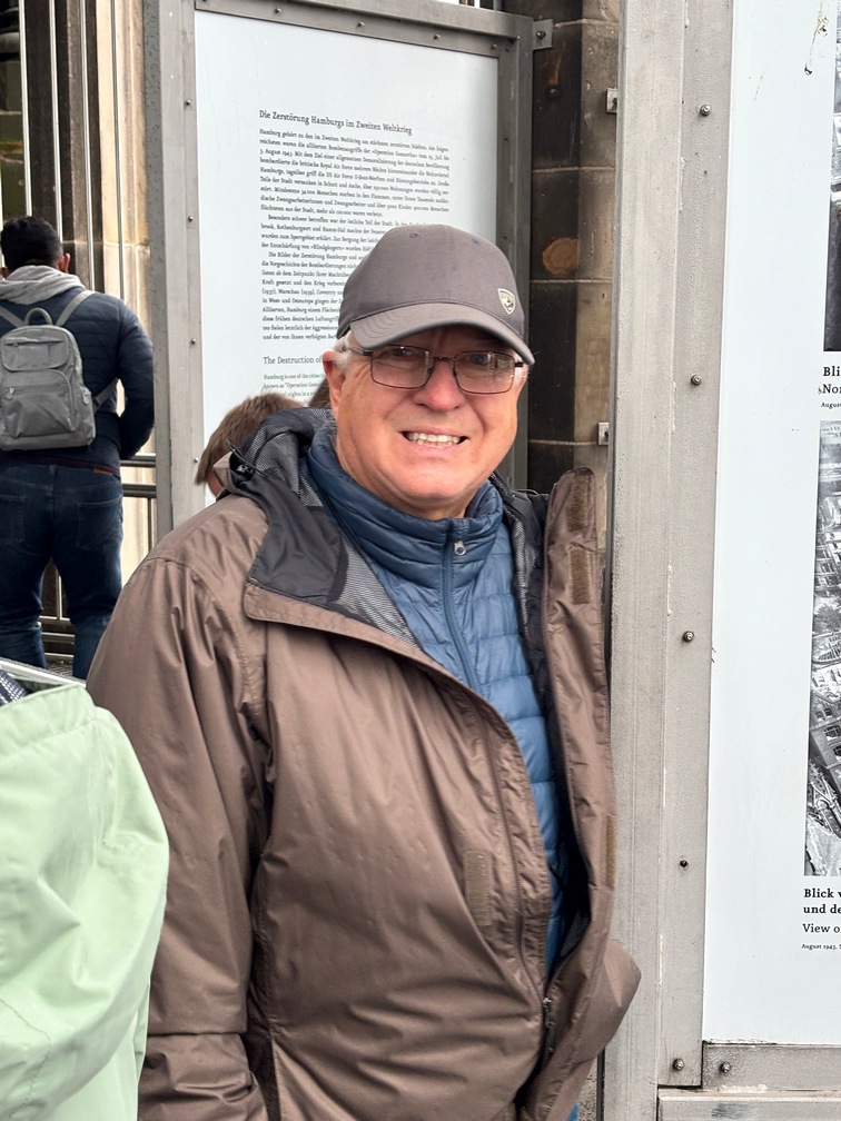
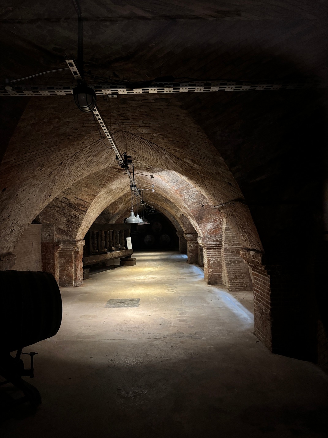
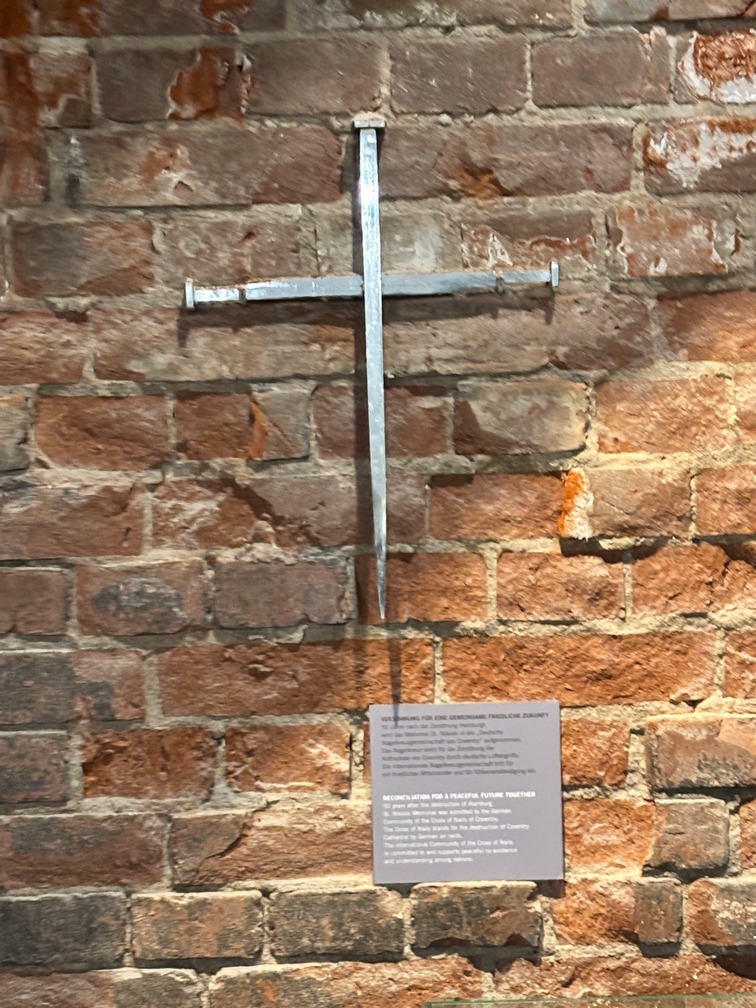
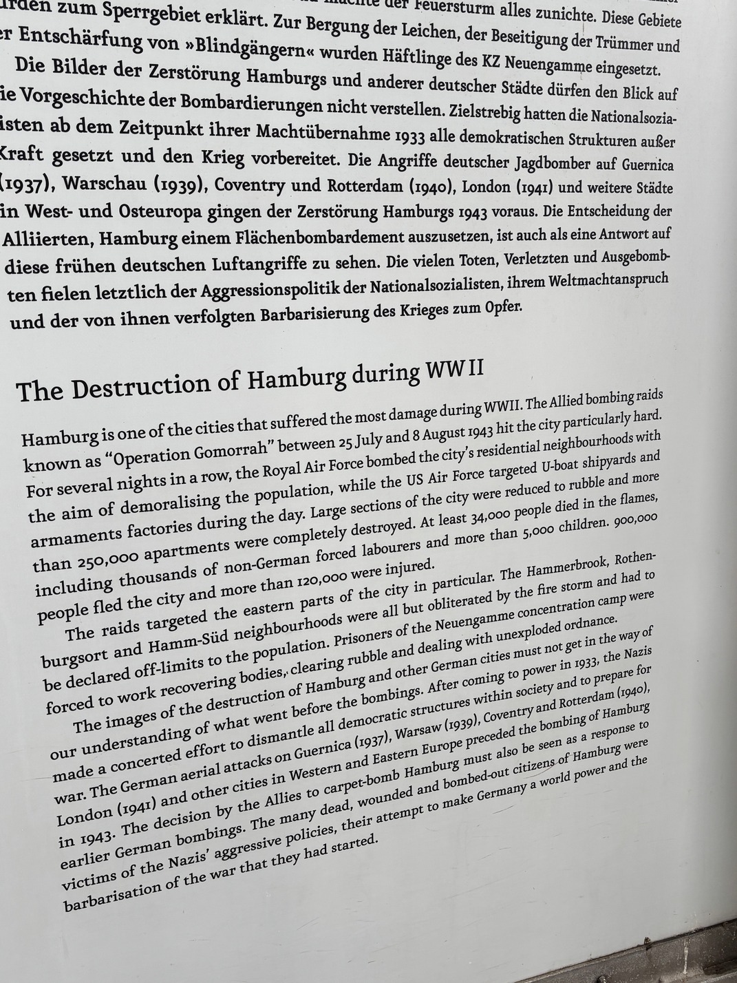
Afterward we went down into the museum to learn about the bombing of Hamburg and the cause of the mass casualties caused by Nazi poor planning.
Leave early in the morning for long train trip to Amsterdam via Duisburg where we changed trains and Tami & Scott kept going on to Cologne.
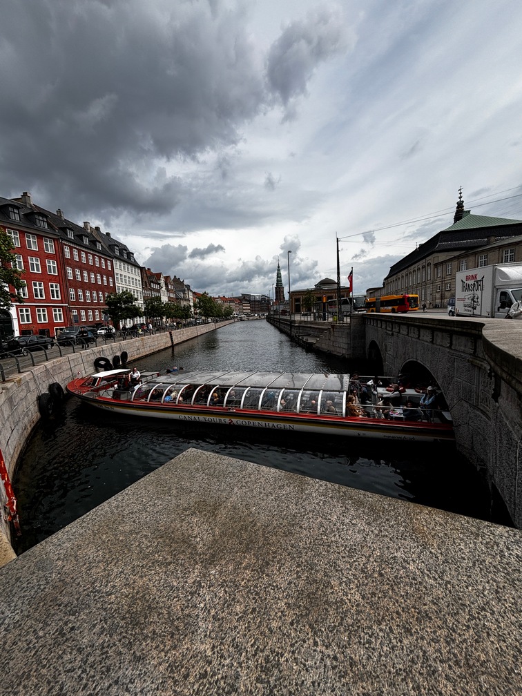
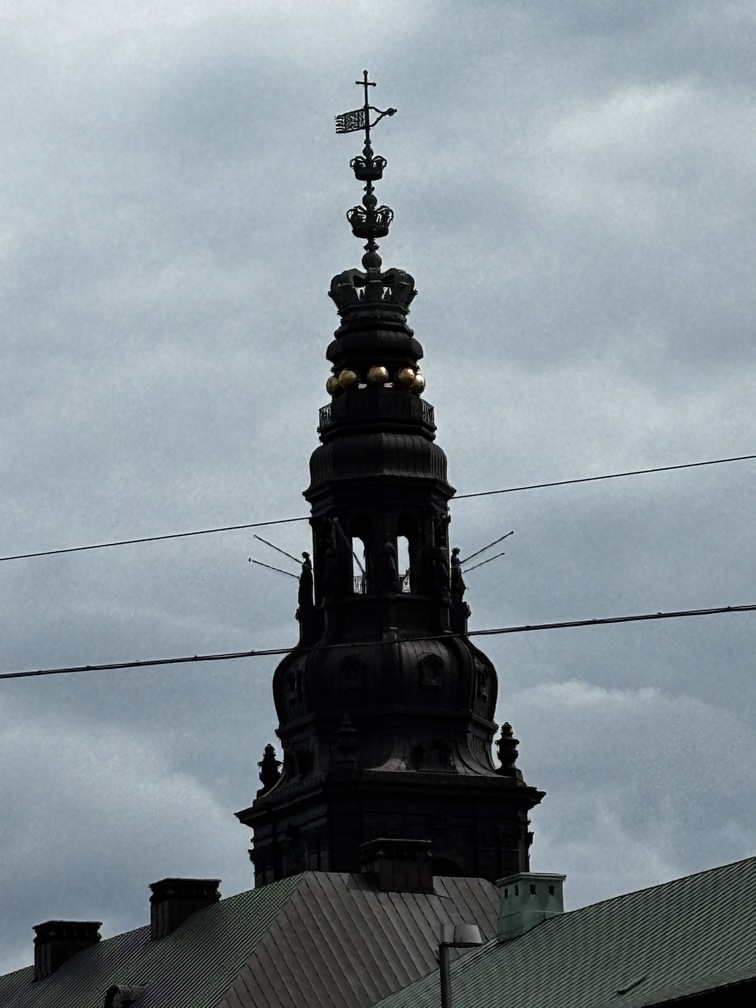
Copenhagen & Malmo
 Very long day getting to Copenhagen from Berlin, Had to take a 2 hour earlier train due to our train being rescheduled where we couldn’t get to bus on time to get on ferry across
 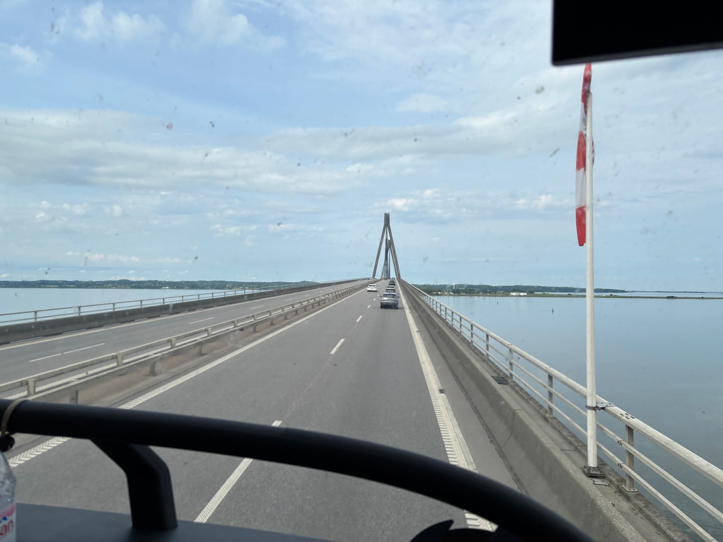 the Baltic Sea. Waited at bus station for a long time after finally finding where the Flix bus actually departed from. Then on the bus for 1/2 hour ride to the ferry to wait in line for it to arrive. Drove on, then the mad rush of folks getting up the narrow staircase inside the ferry. Lunch was burgers and fries, then the announcement to get back to the car deck and we were on Denmark soil now, and the 1.5 hour bus ride to Copenhagen. Uber to the hotel. Got there around 6pm, we had left on a 7:30a train. It was one of our longest traveling days so far. We were going to sleep well that night… NOT.
Hotel AC Bella Sky was where we stayed. Had probably the worst beds of the whole trip. Talk about being warn out. And its a Marriott Hotel. The manager offered no help, stating they couldn’t possibly know what beds were warn out. She offered us nothing. Knowing when there beds were warn out is precisely what a hotel should know as they are selling all of us a place to sleep among other stuff.
Bus and Metro stops were very close to this hotel even though it was out in what I would call the middle of nowhere. And a few Grocery Stores were about a 5 minute walk away.
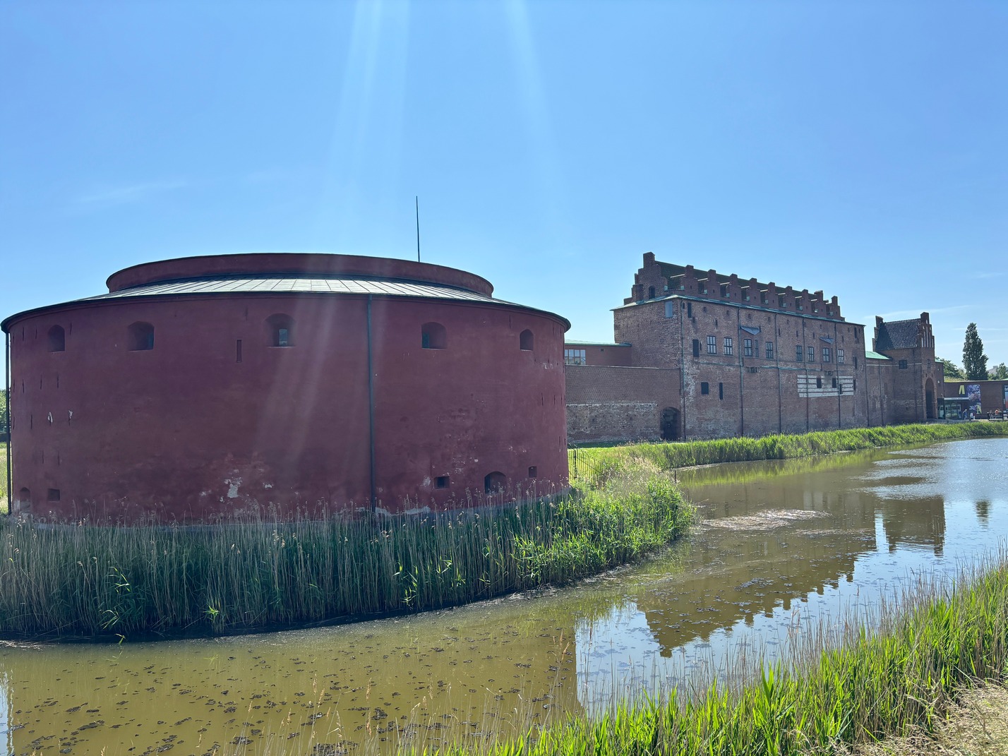
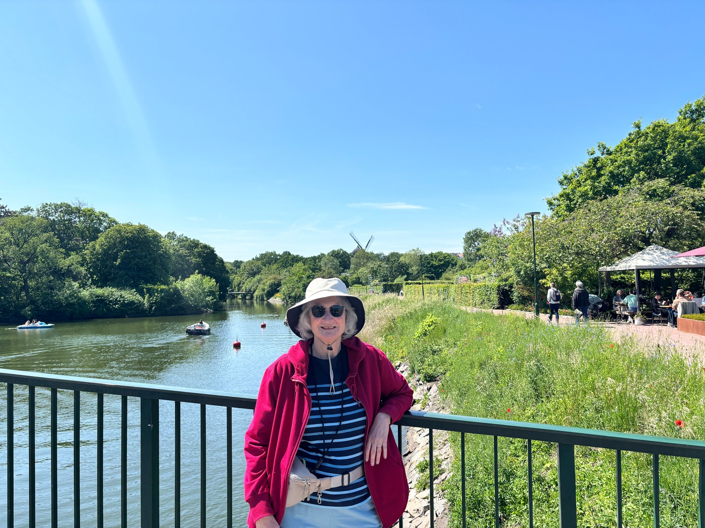
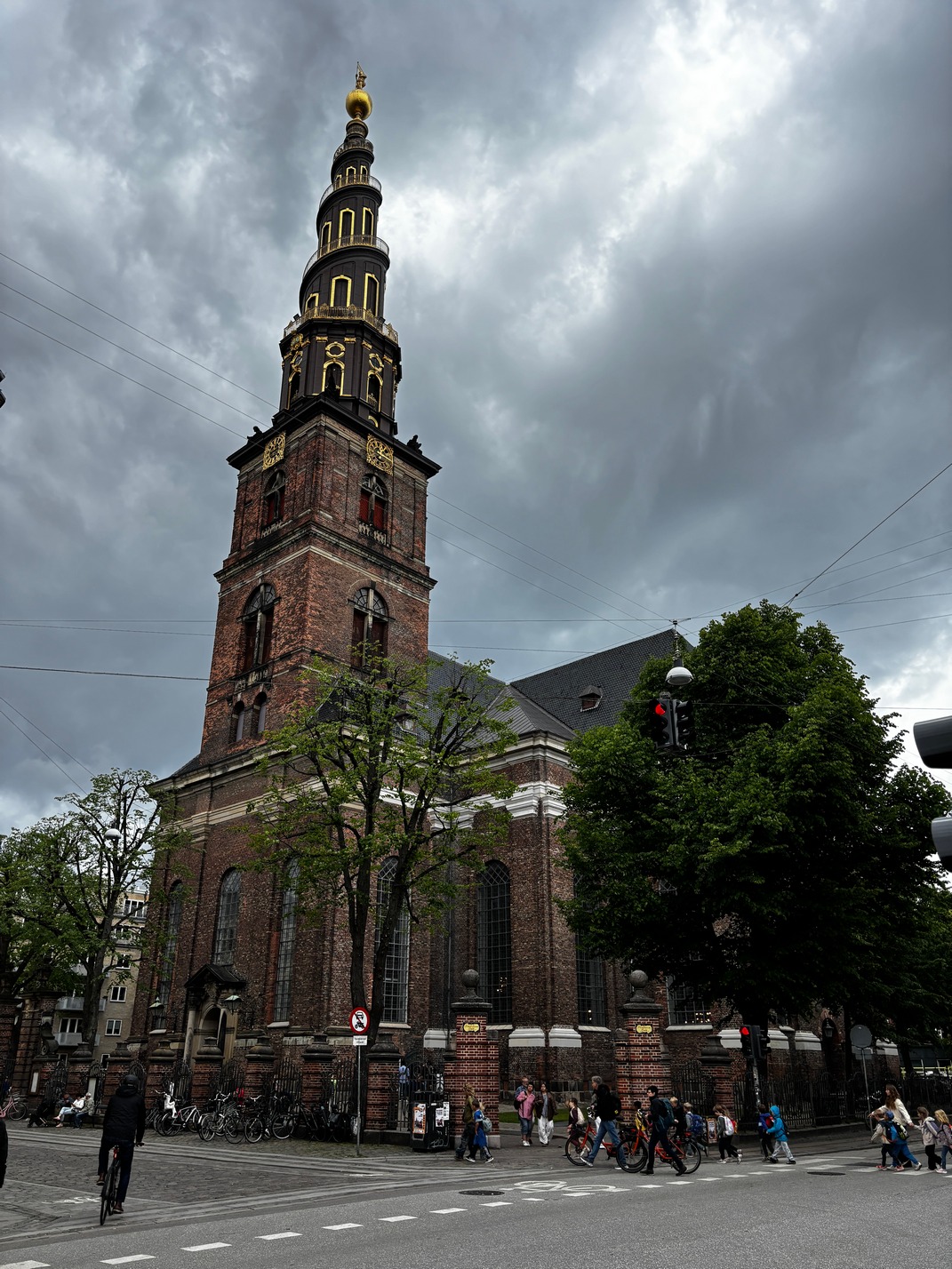
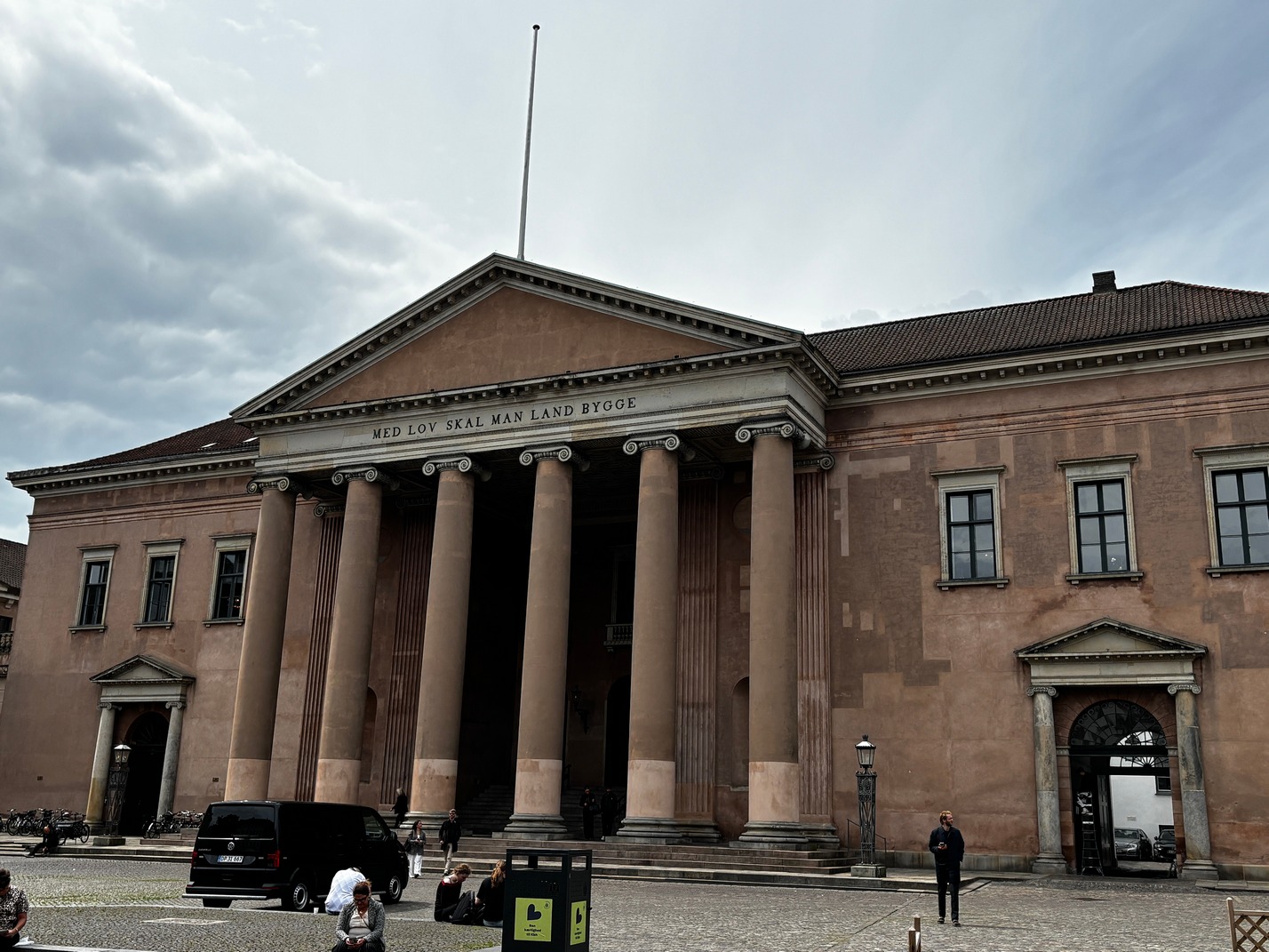
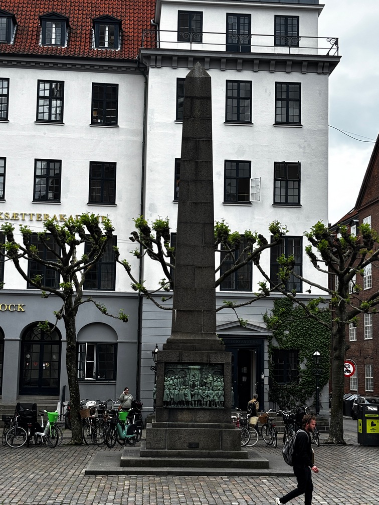
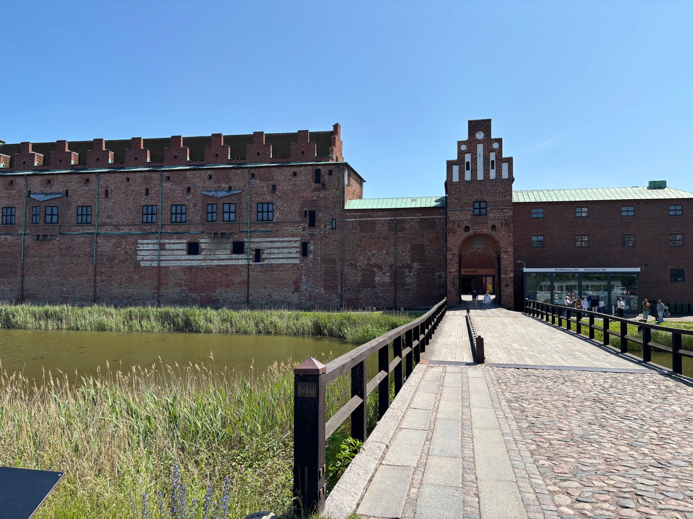
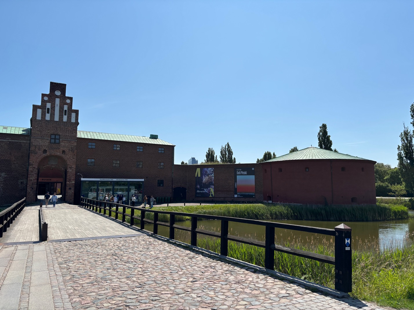
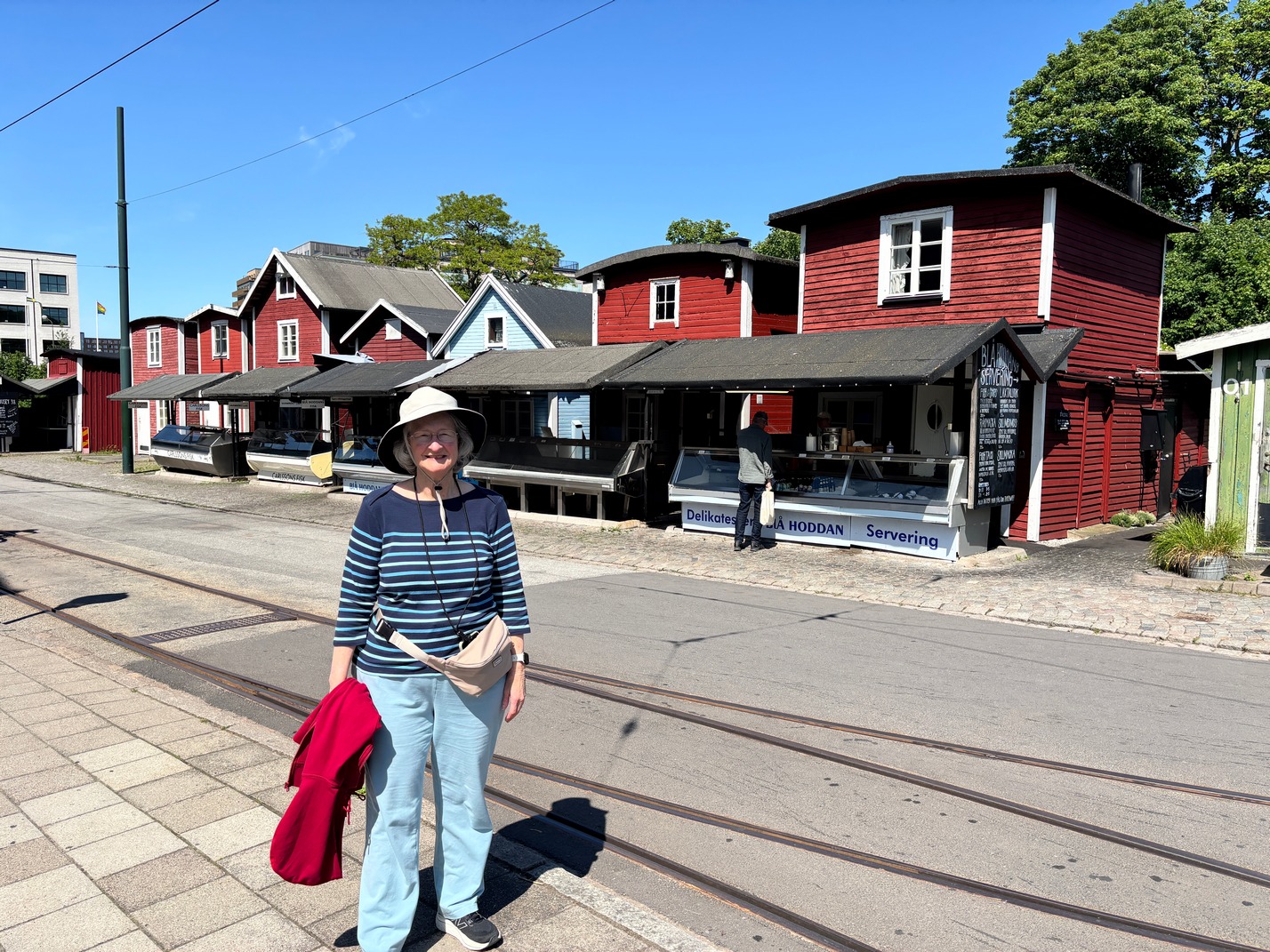 Tuesday Walked to Metro, took it 1 stop to Orestad stop, then Trained to Malmo Sweden, boarded a Bus to Castle Mill windmill, walk thru garden to get lunch at Slottsträdgårdens Kafé, walk around Malmo Castle then over to Technical Museum. Bus back to train station and train ride back to Orestad and hop back on Metro to hotel. Sweden was a nice clean place.
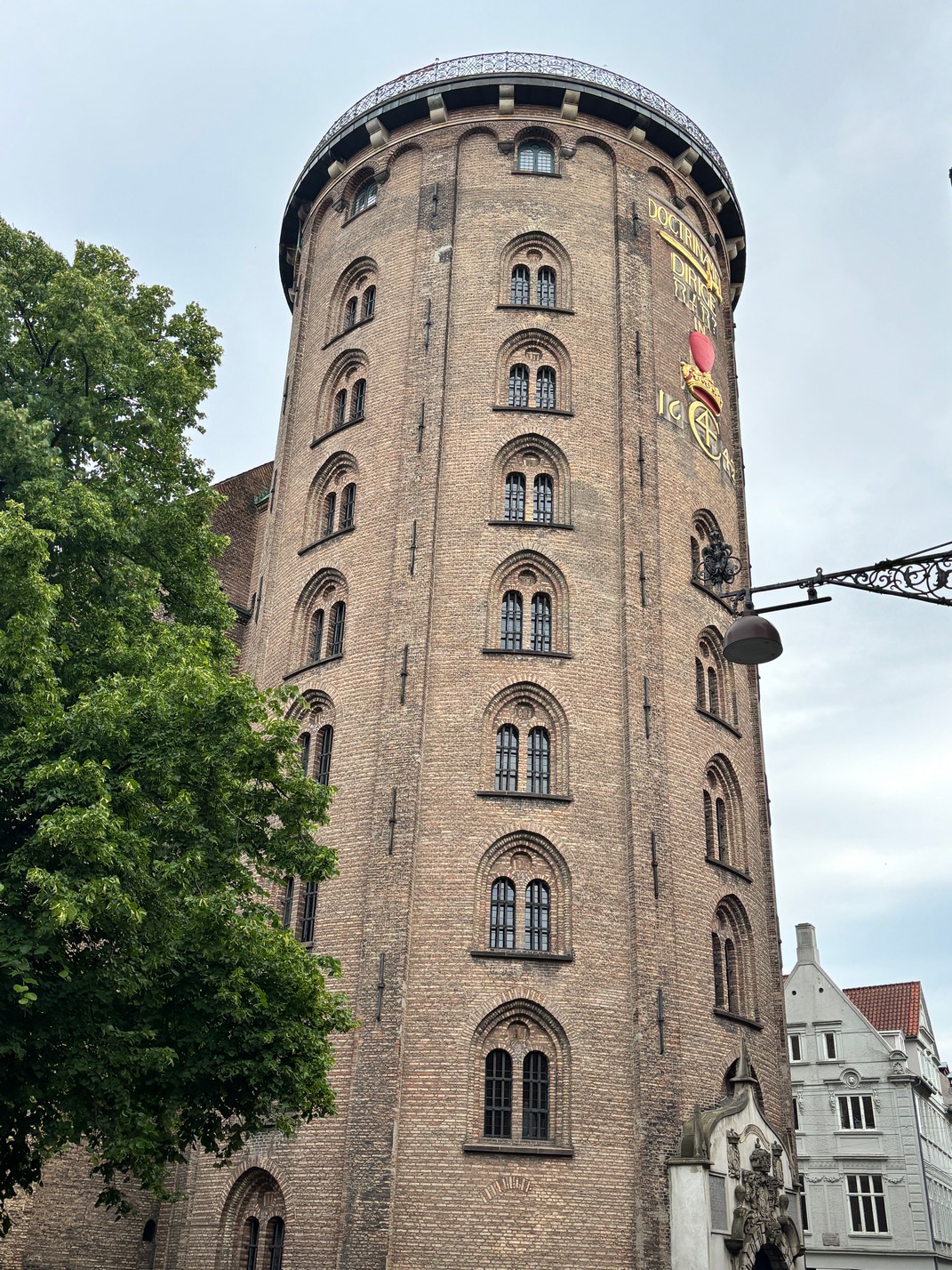
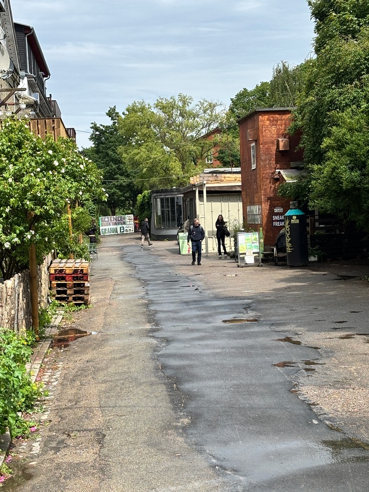
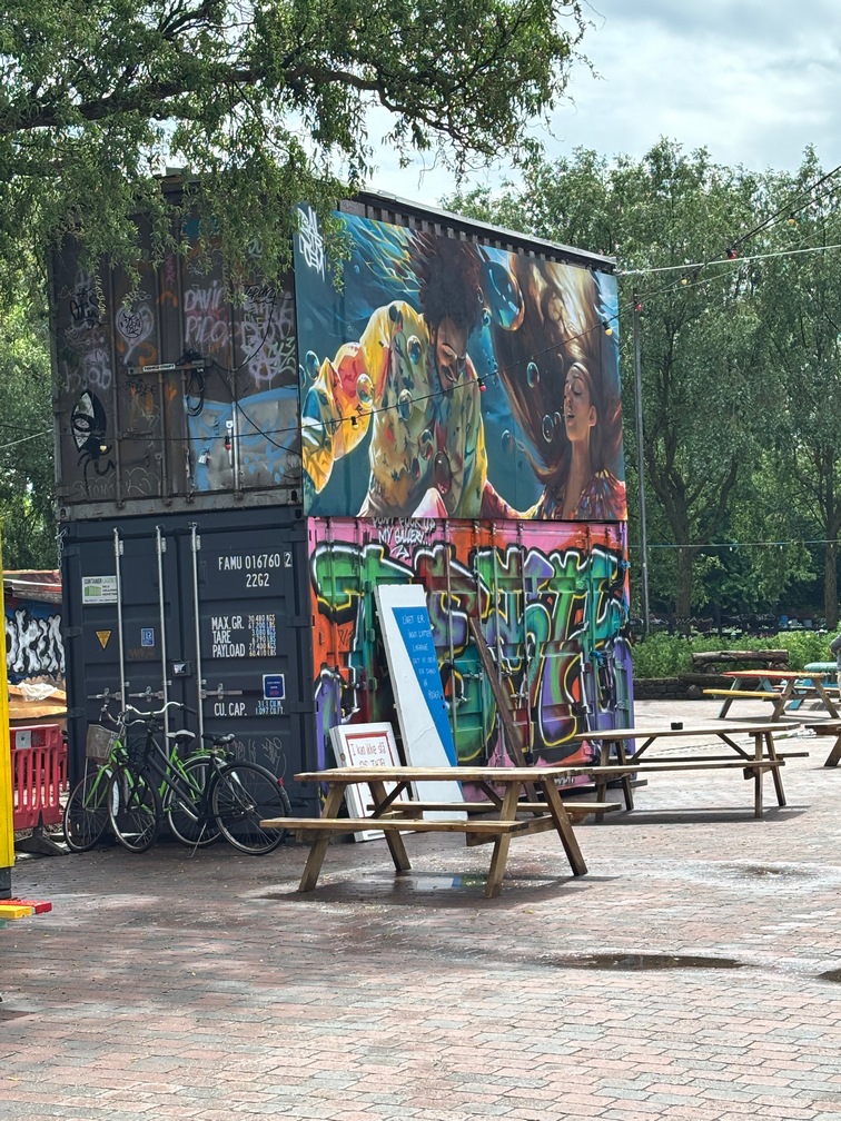
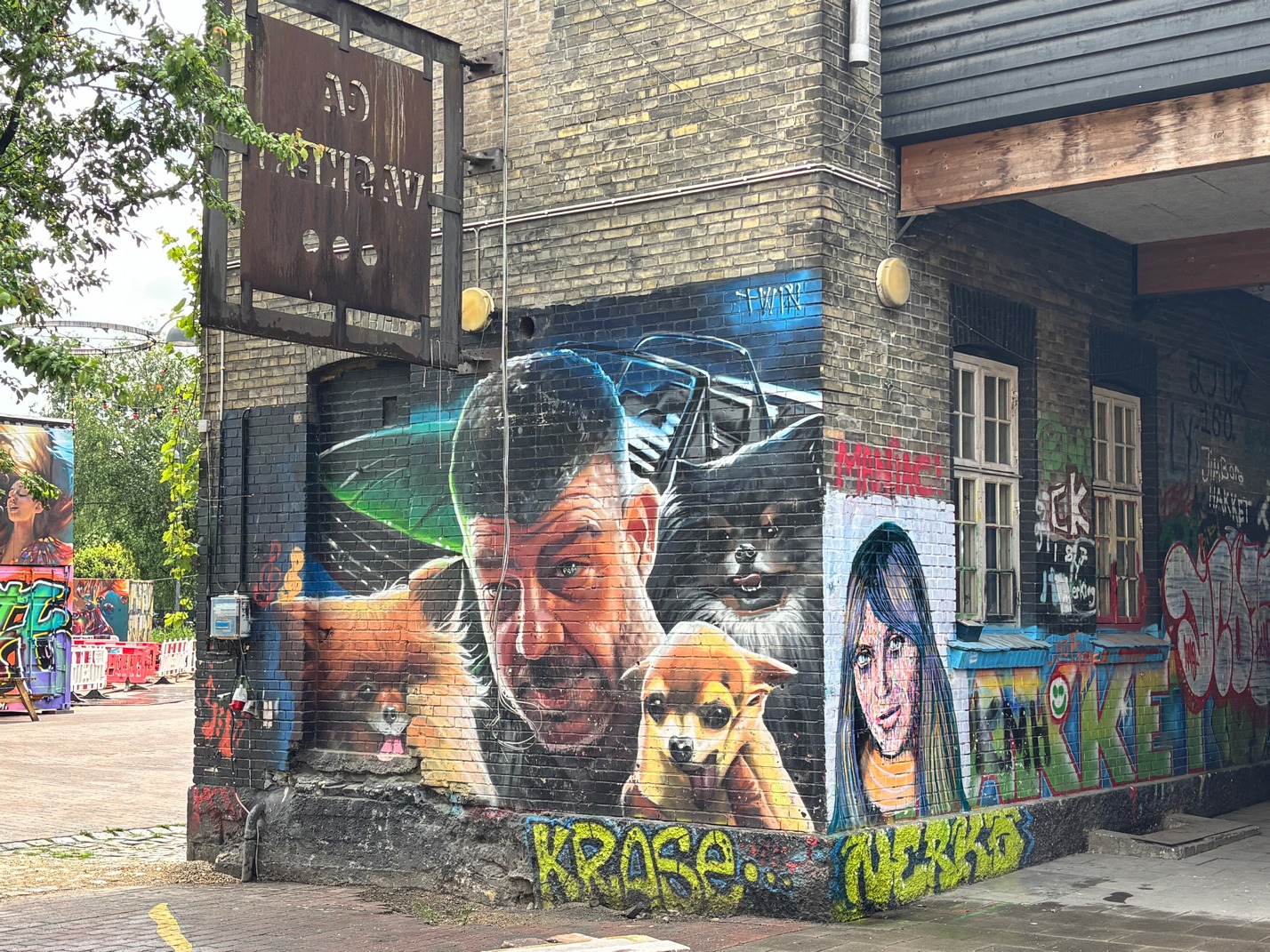
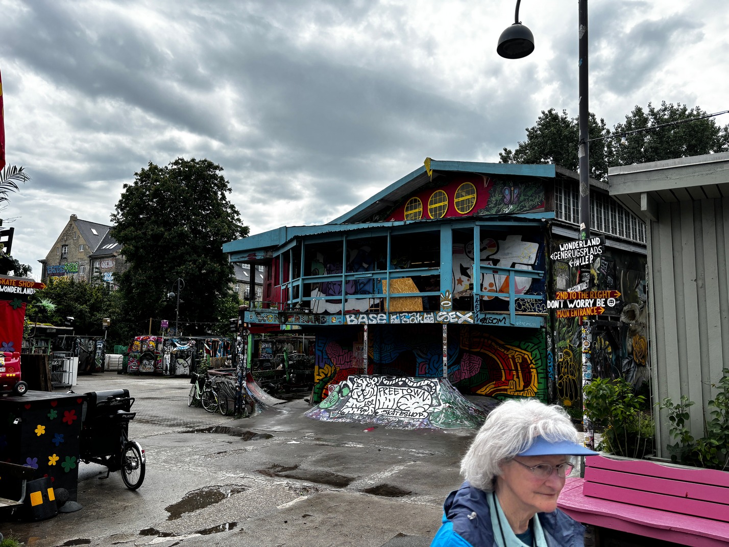
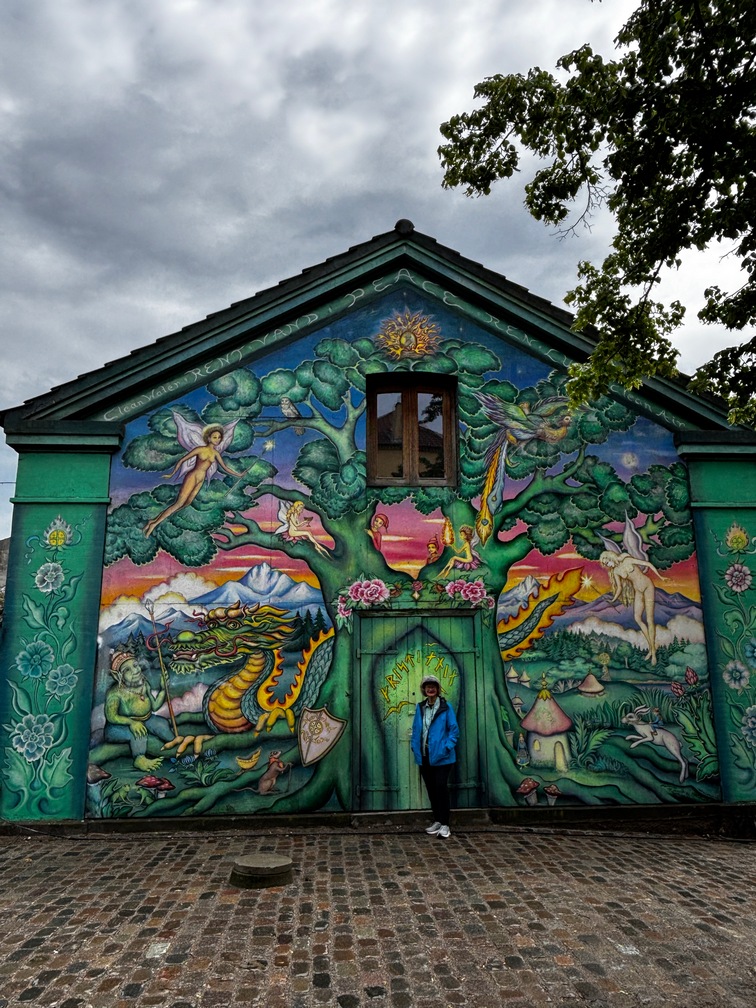
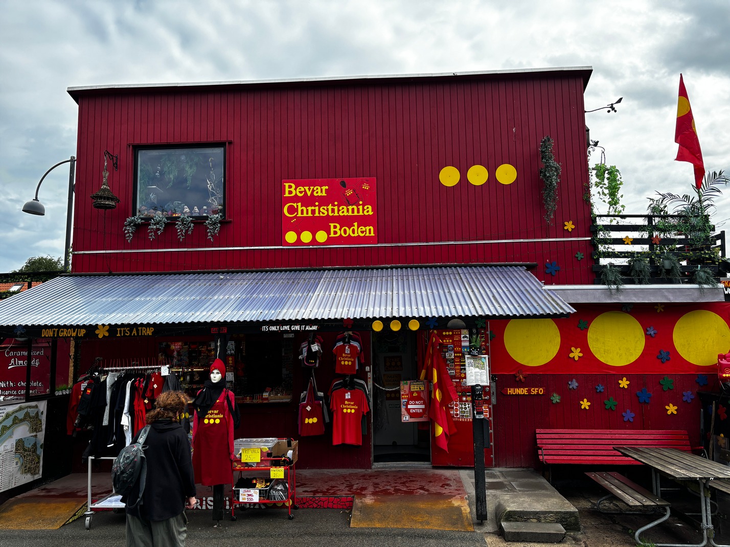
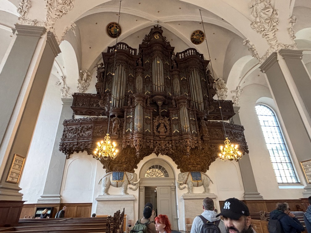
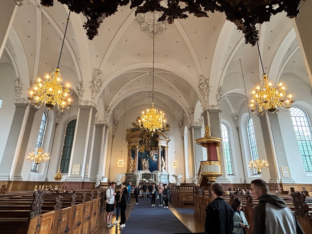
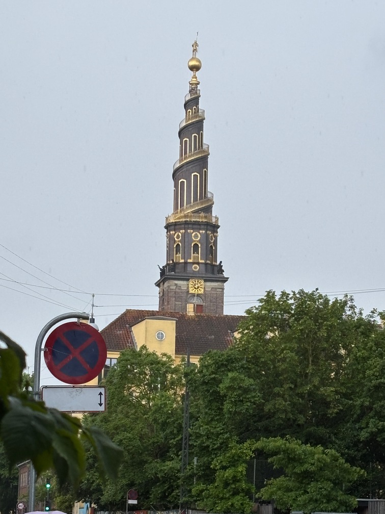
 The next morning we headed out to find Freetown and along the way found a Church with spiral staircase outside. About two blocks further we entered Freetown Christiana. Its quite
  an eccletric place. Hippies took it over a long time ago and still live there. If it was in the states the developers would have burned them out by now. As we were leaving the community its started pouring rain, we ran across the street to get out of the rain under produce store awning attempting to stay dry. Once it slowed down a bit we got over to a bus stop and headed home.
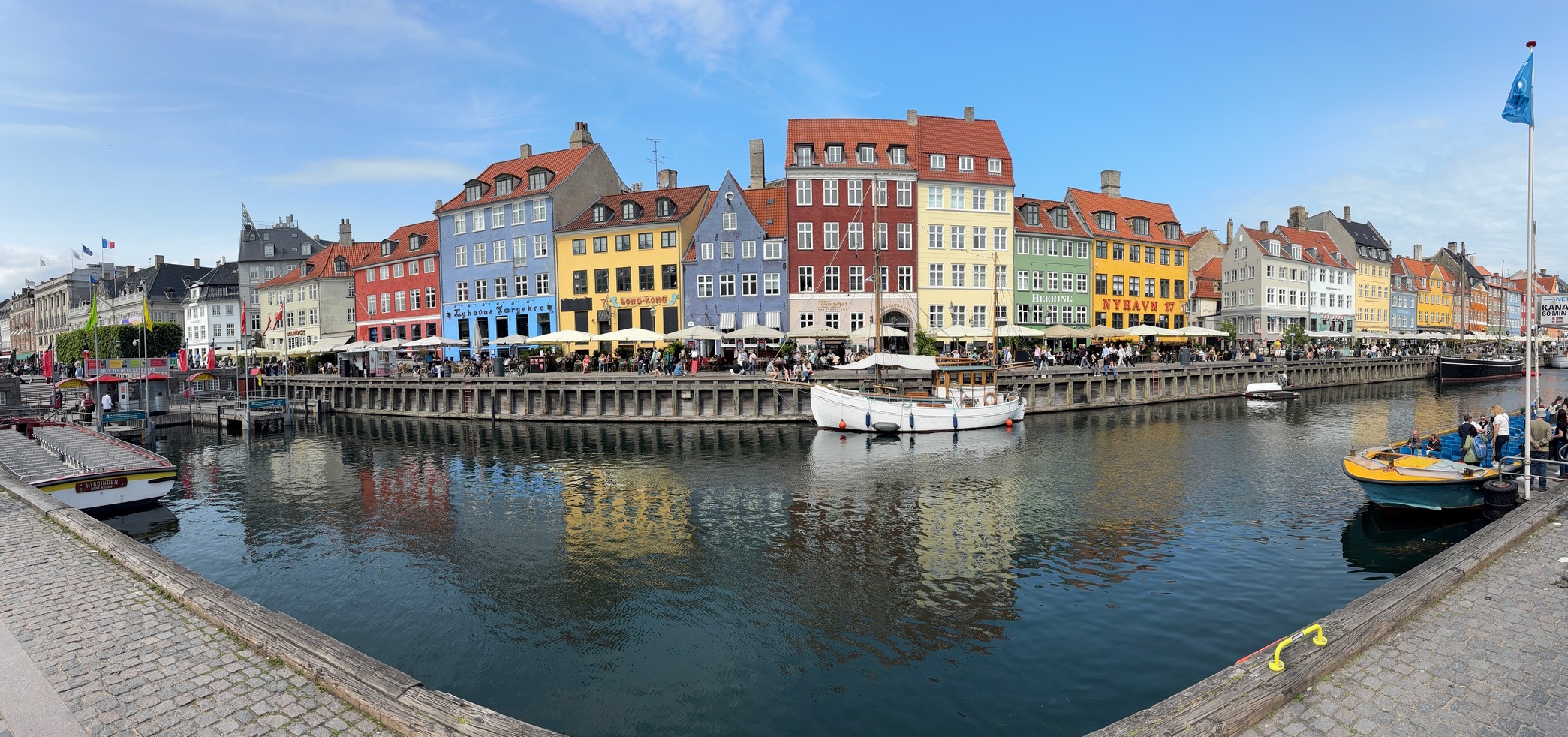
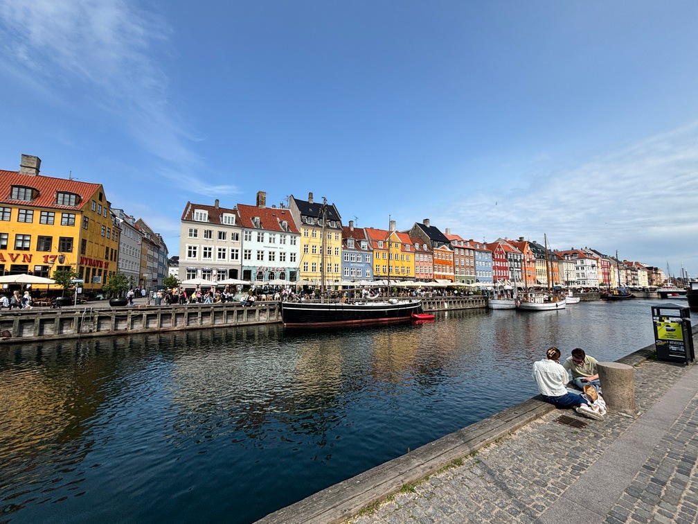
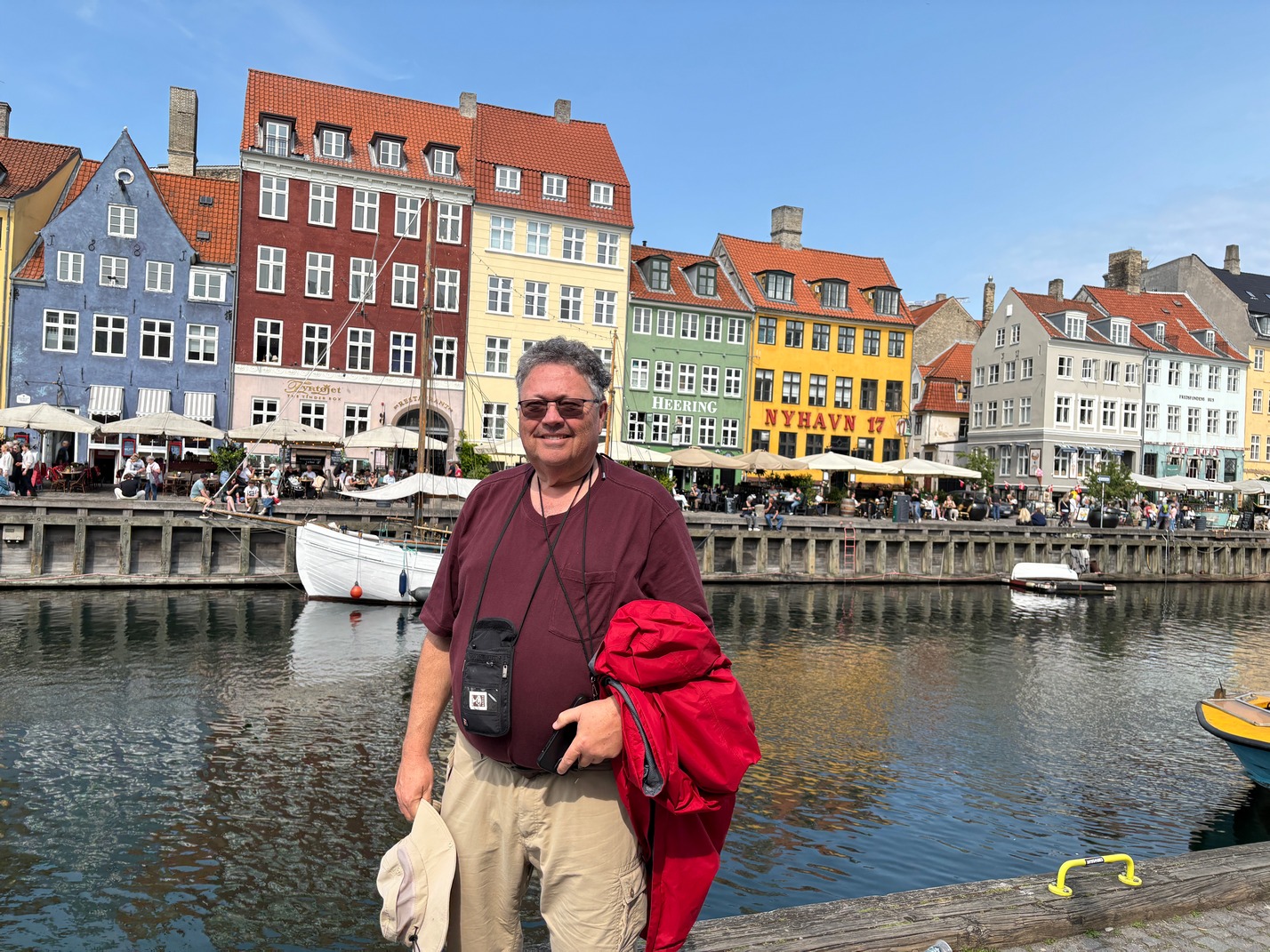
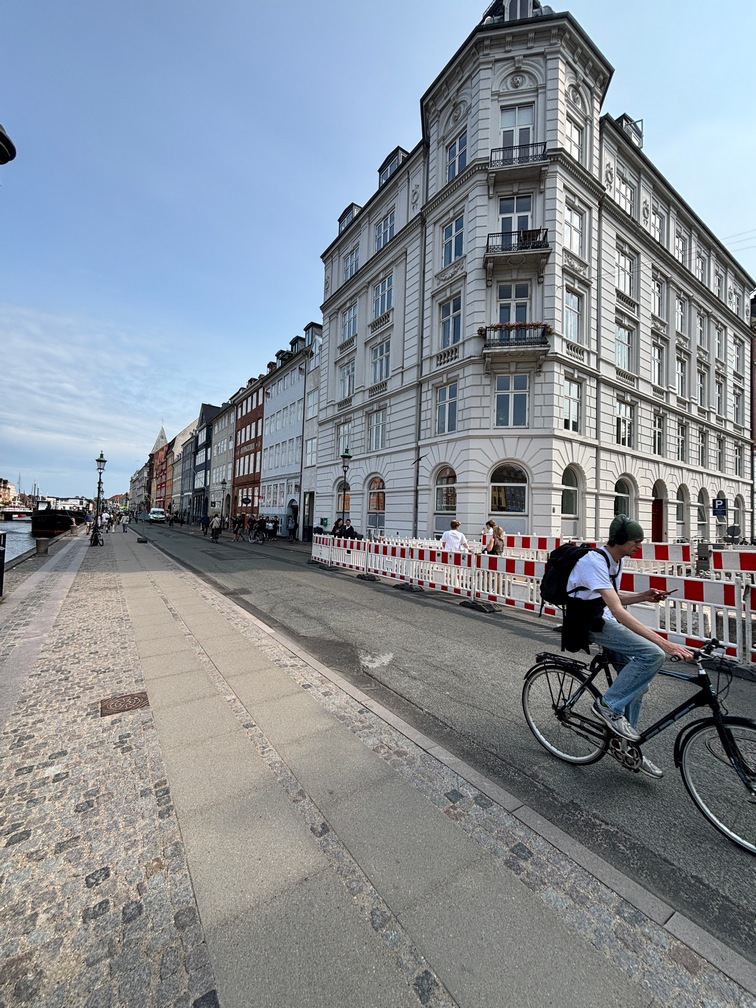
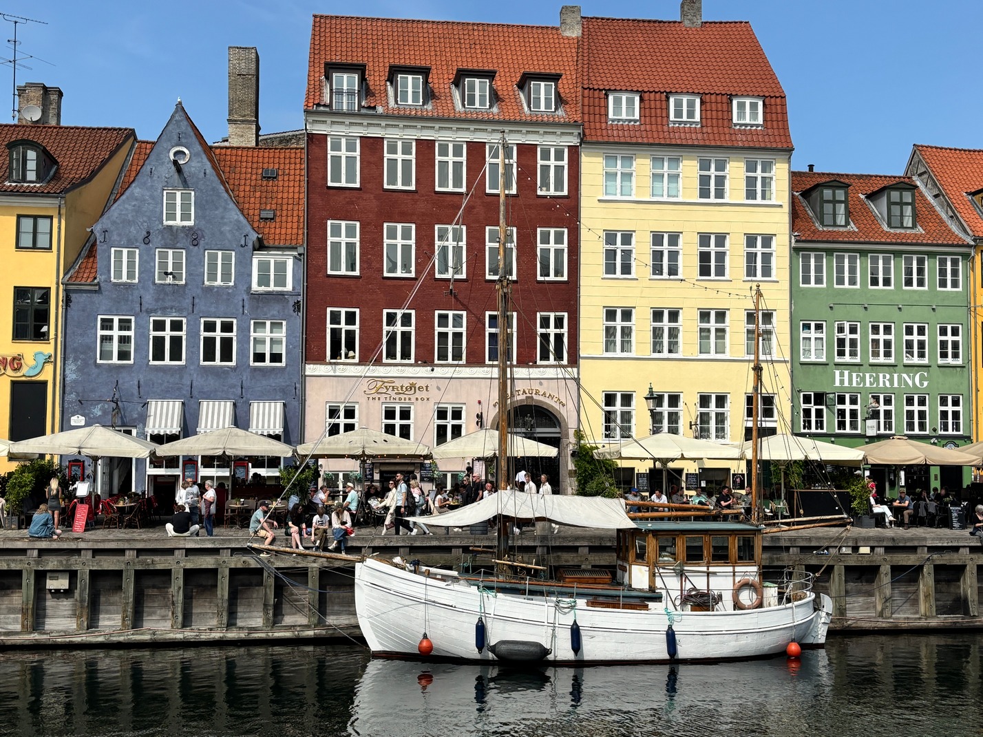
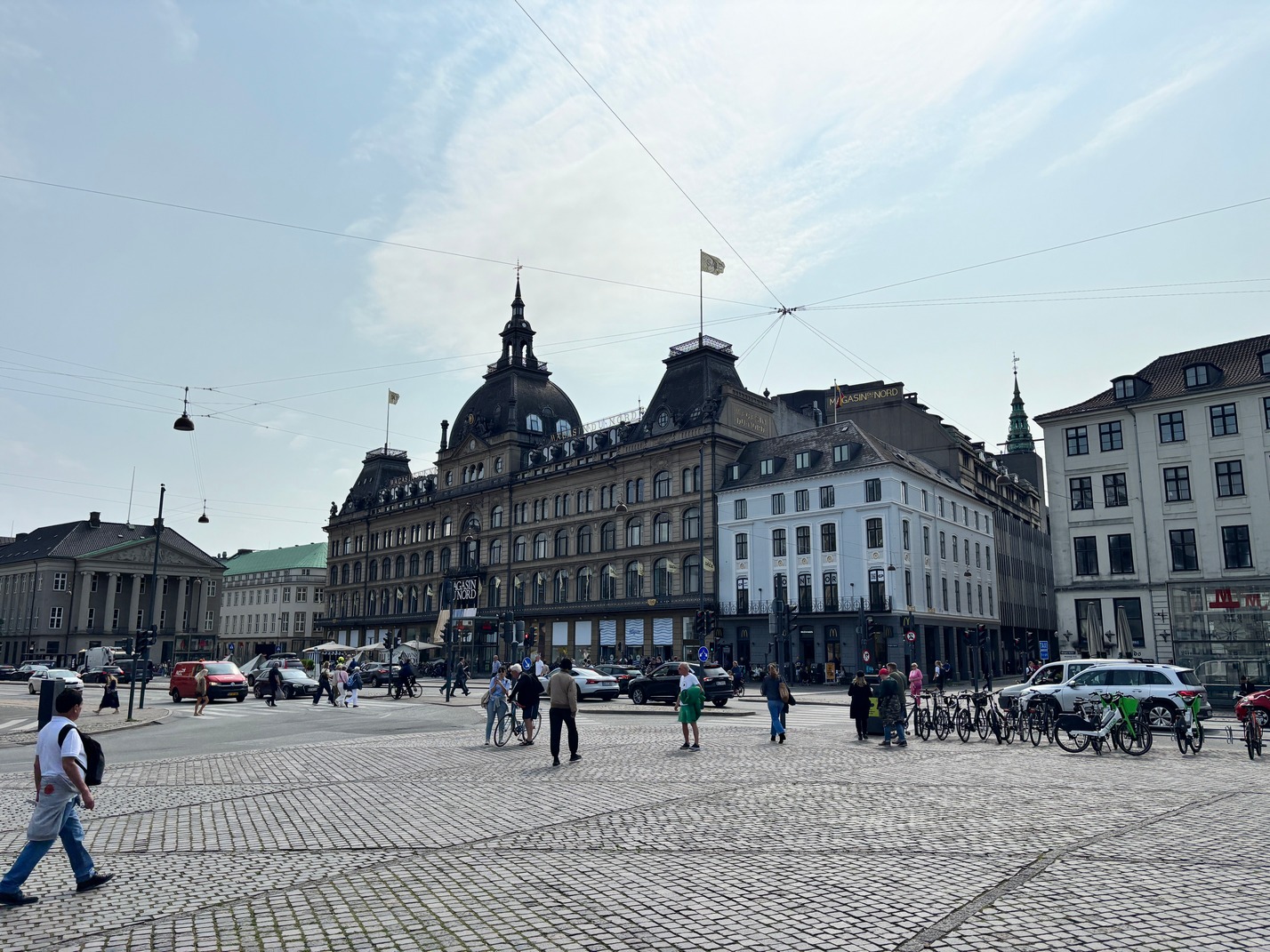
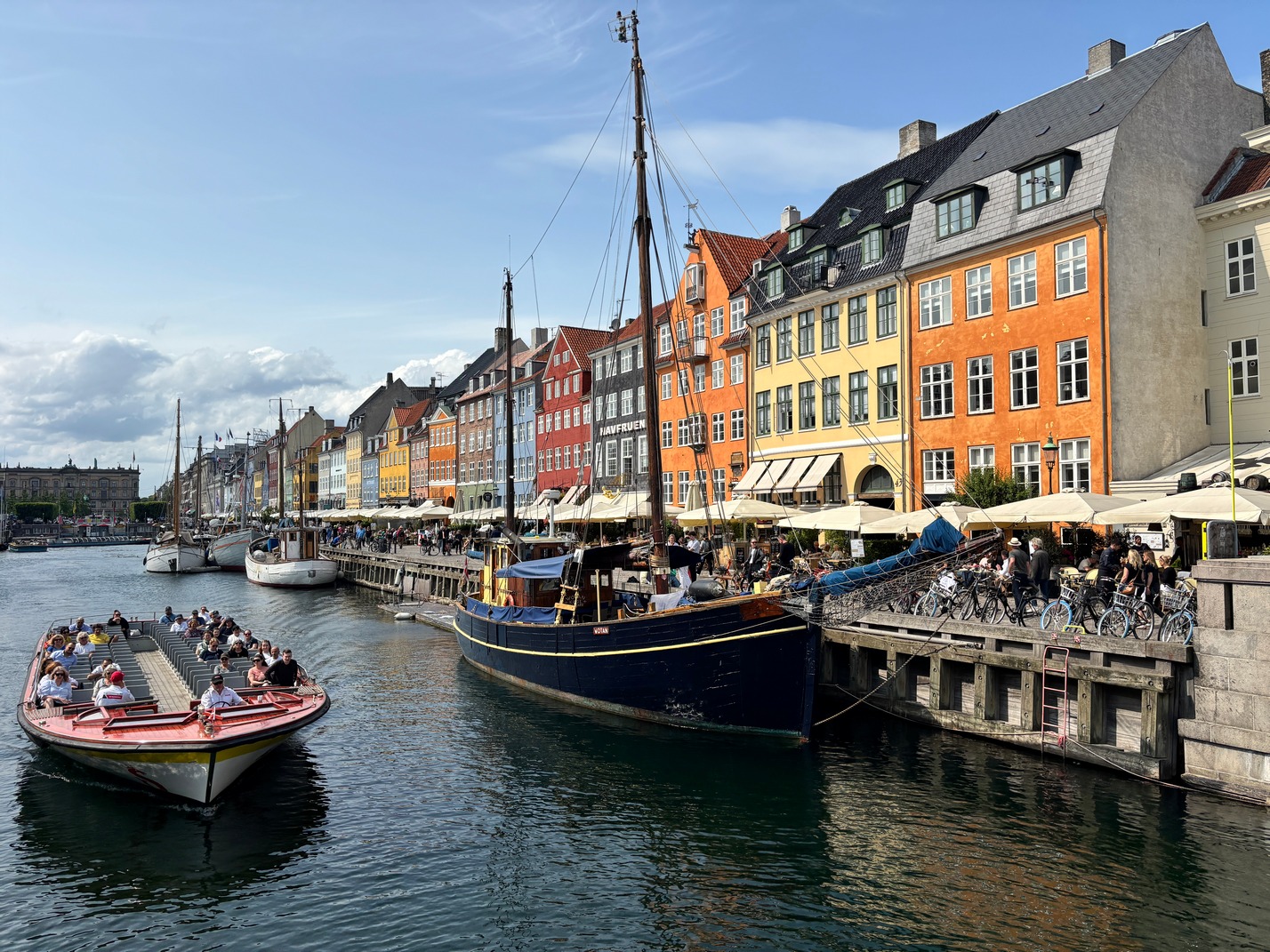
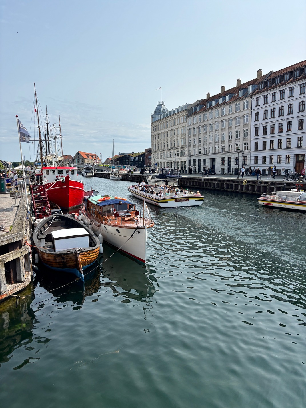
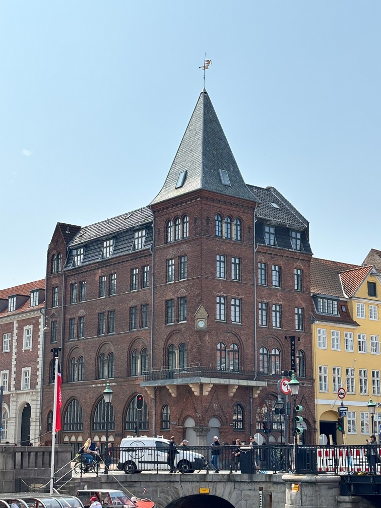
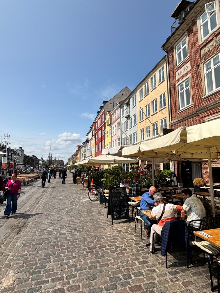
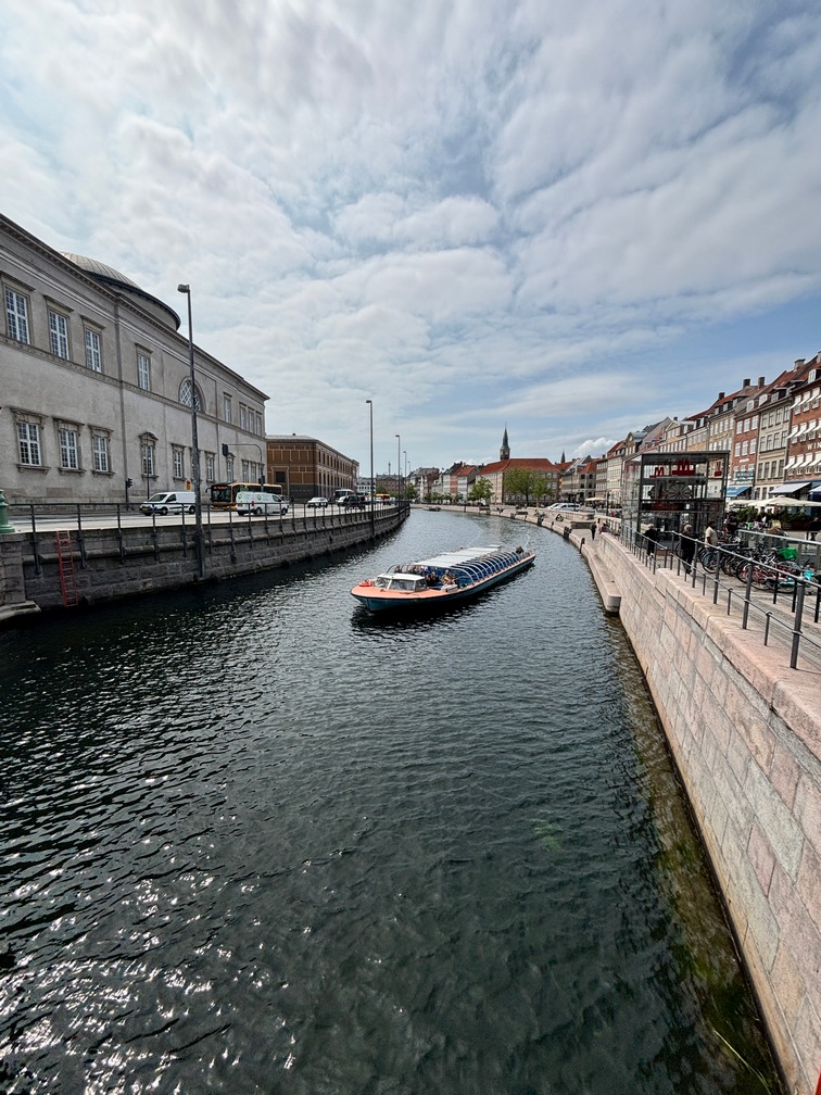
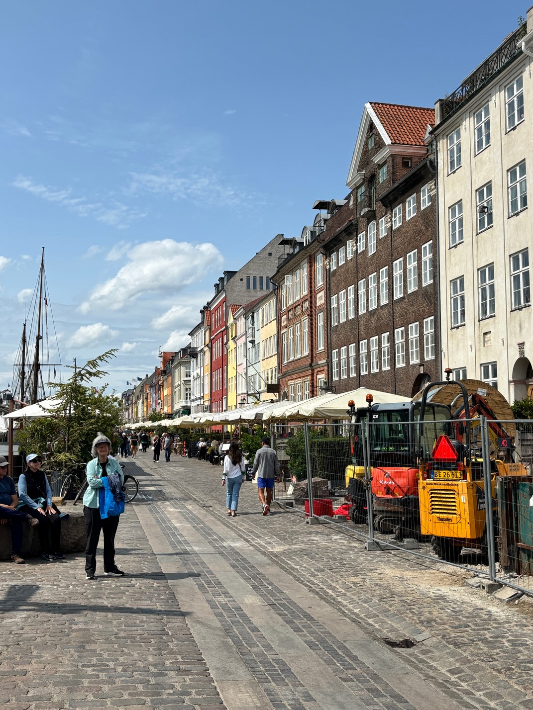
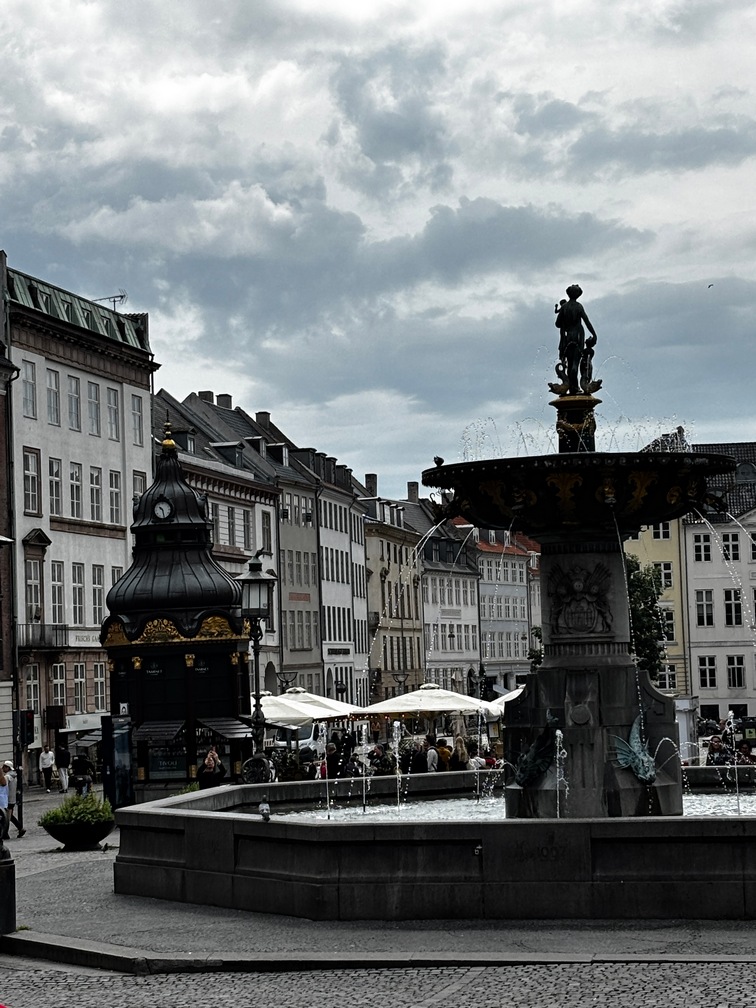
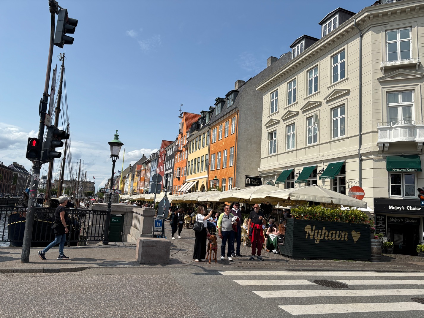
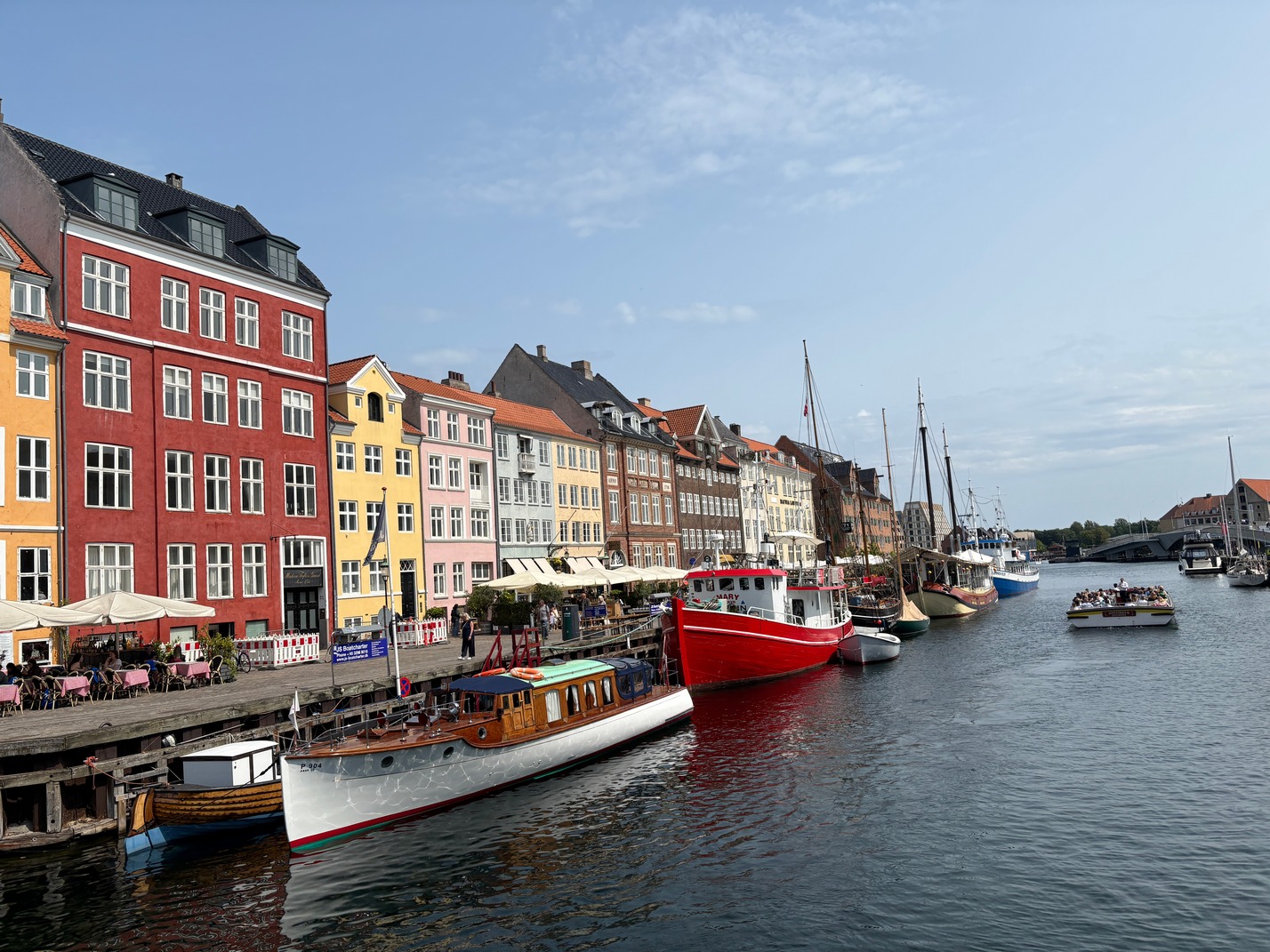
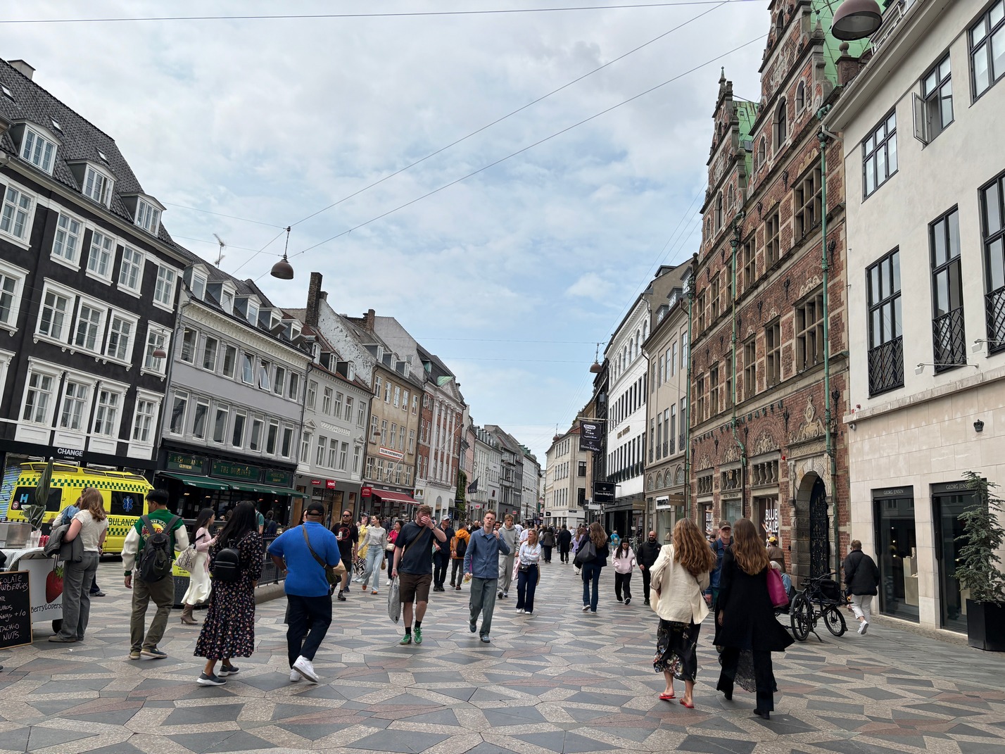
 Wednesday Midwest Cafe, round tower Furniture store, protest for Palestine where we ran into Tami and Scott while bussing to the Nyhavn area of town. We got lunch at a Nyhavn tourist area restaurant then walked around some more and later took a metro back to hotel
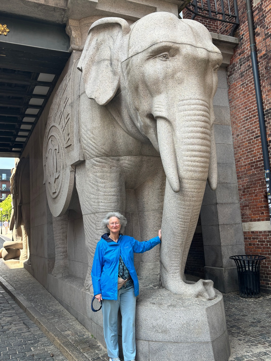
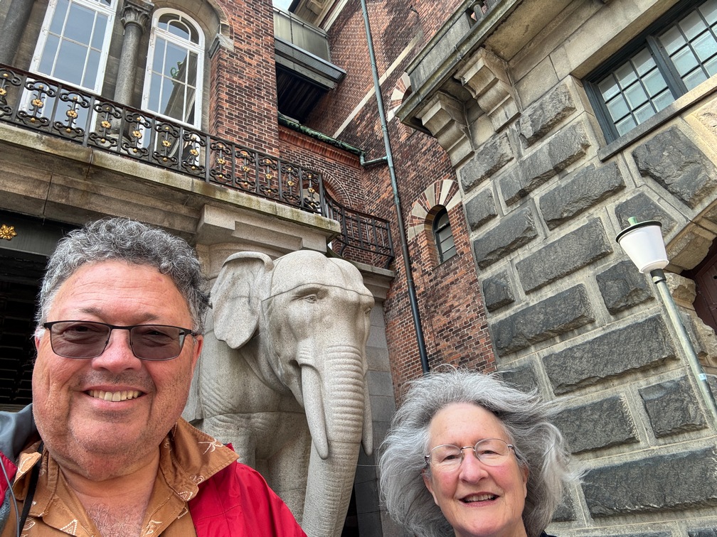
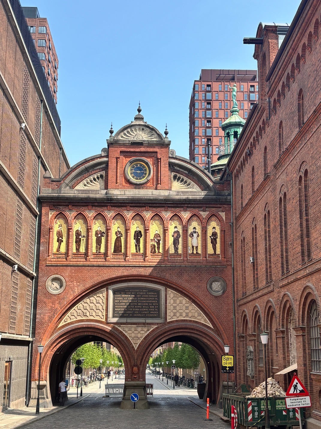
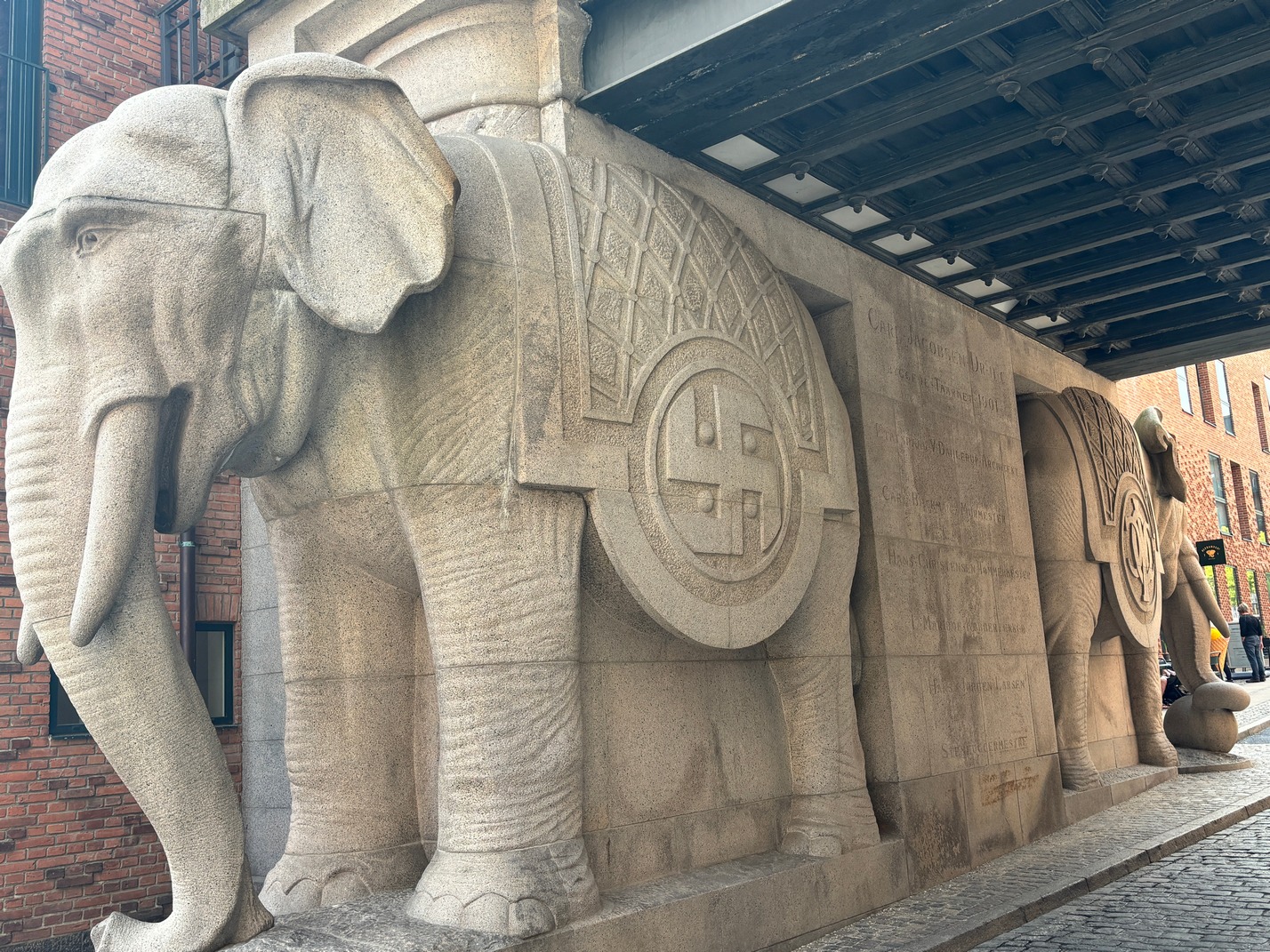
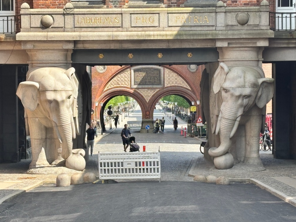
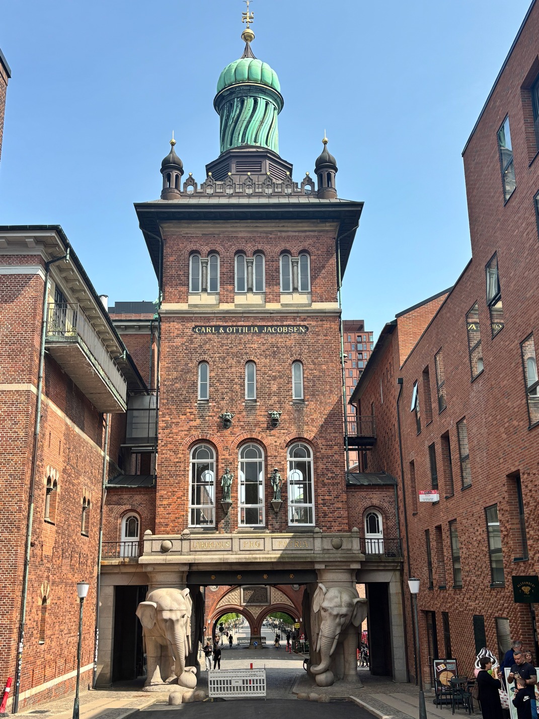
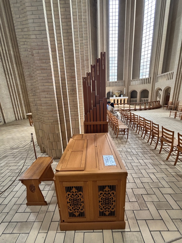
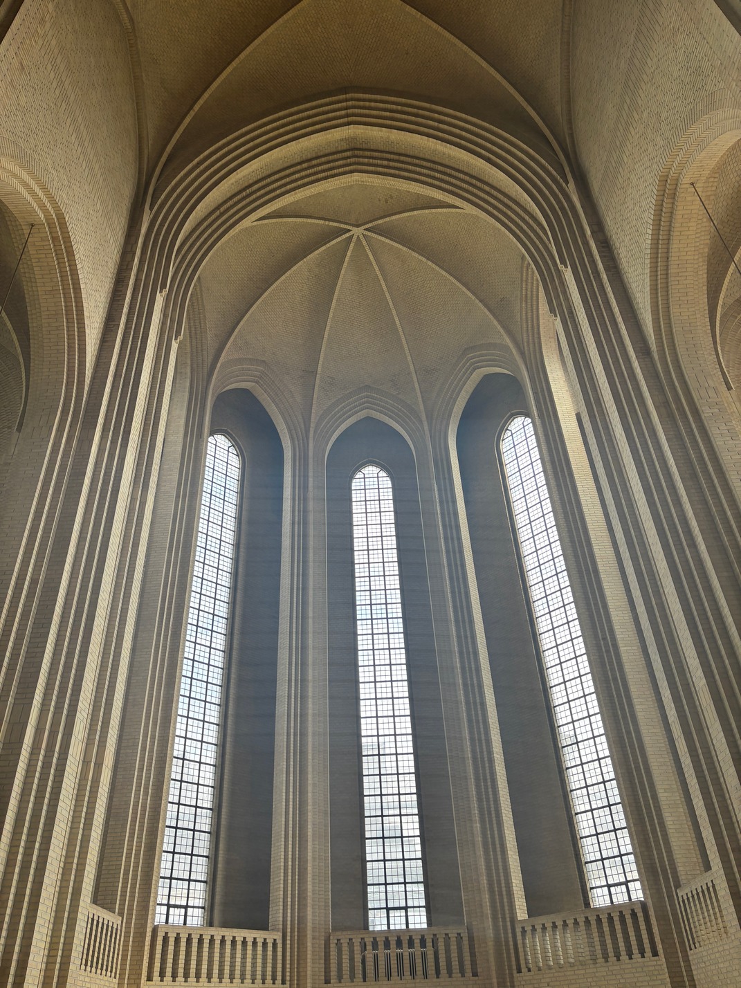
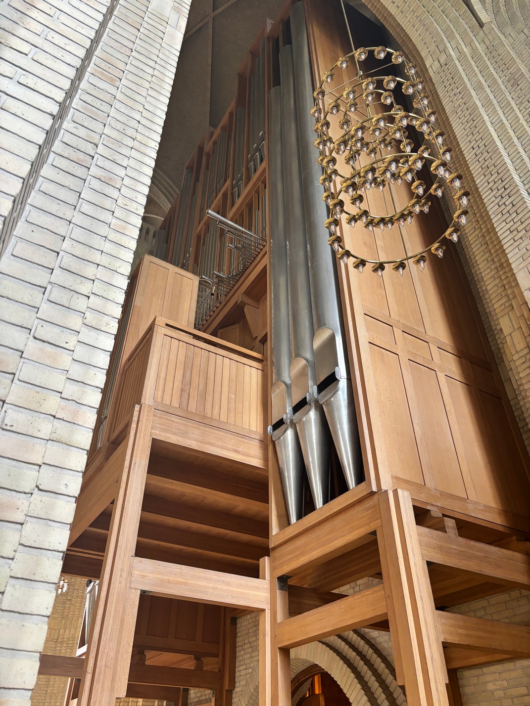
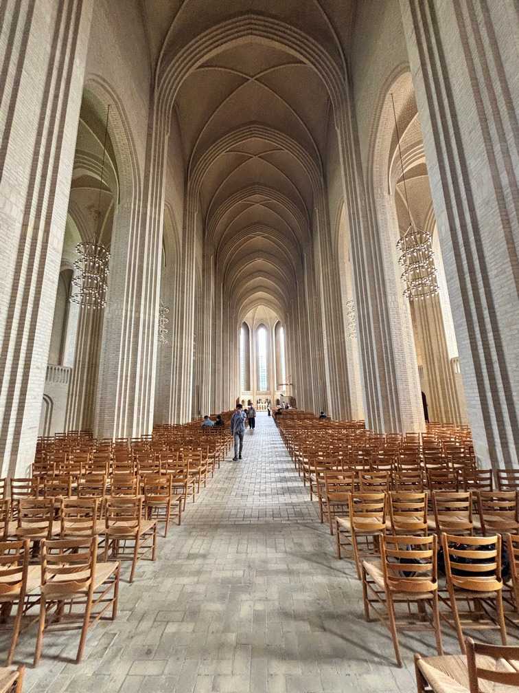
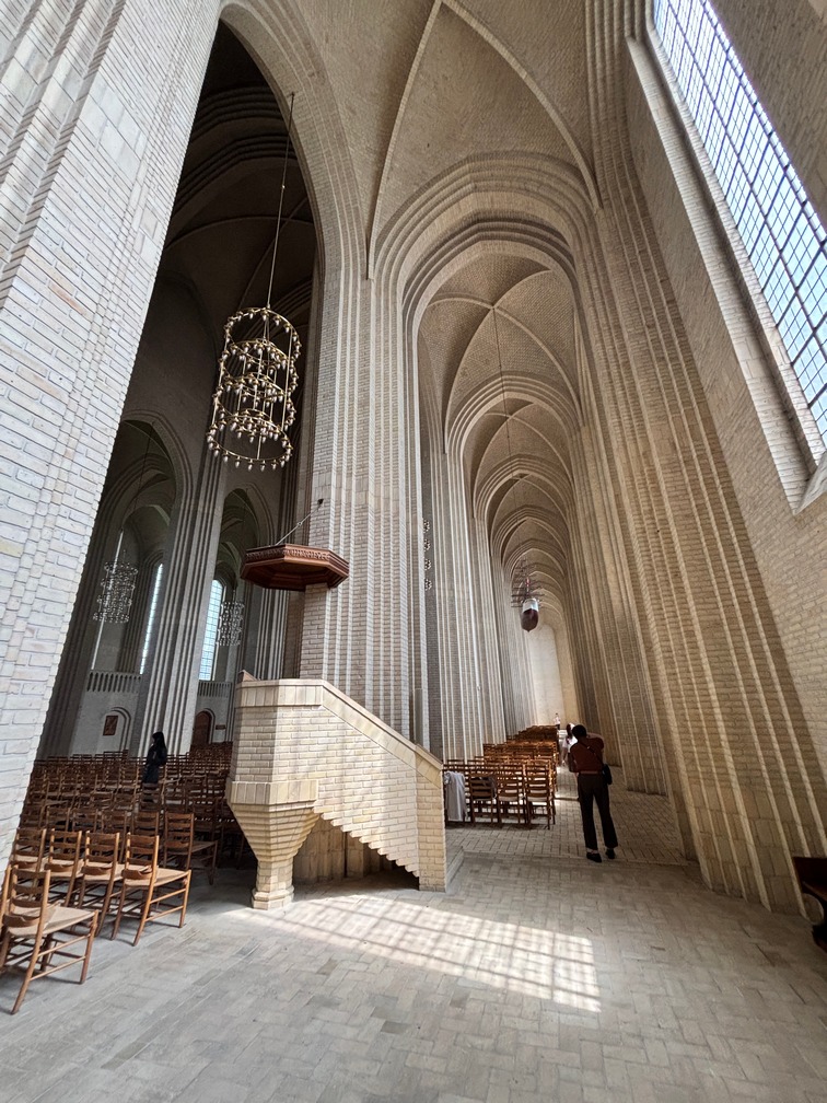
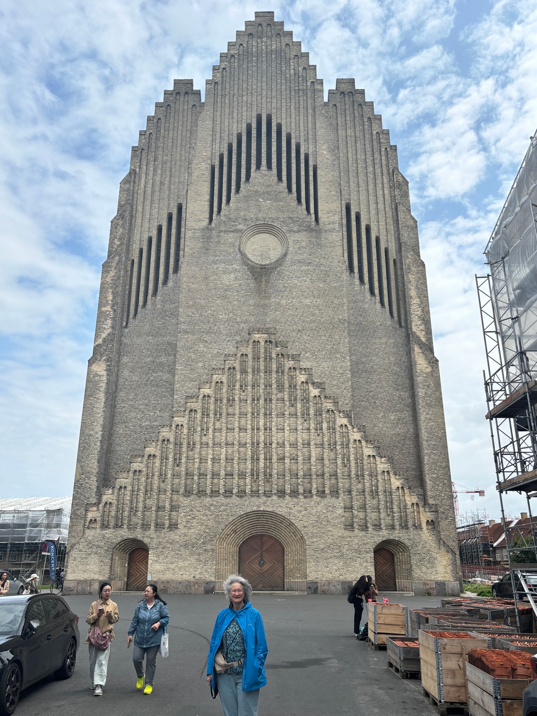
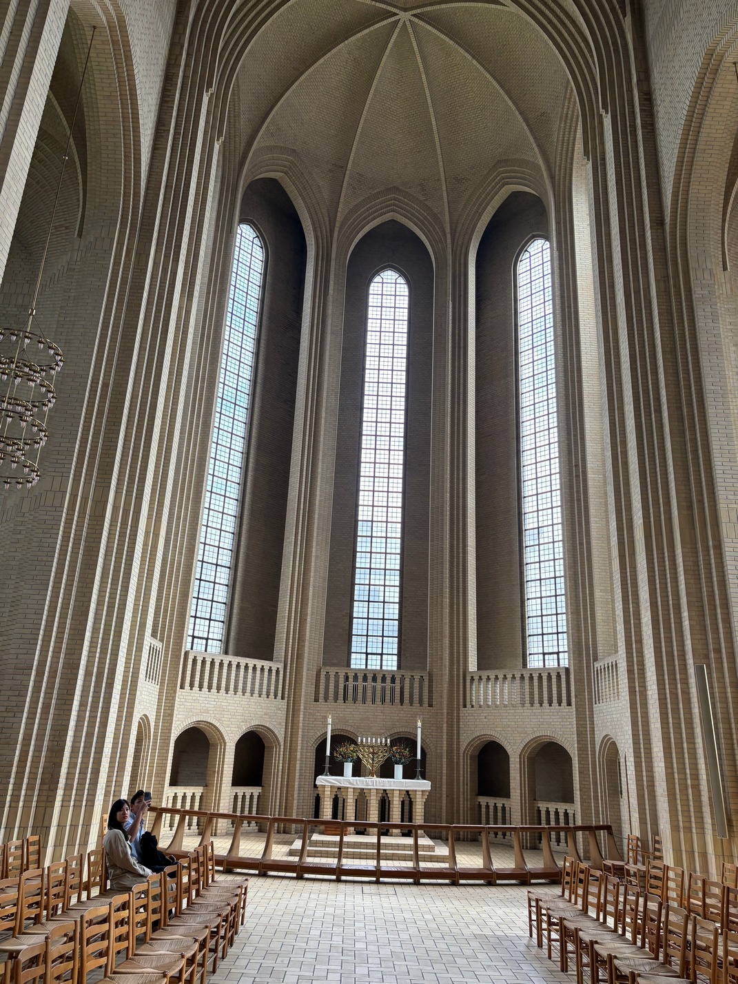
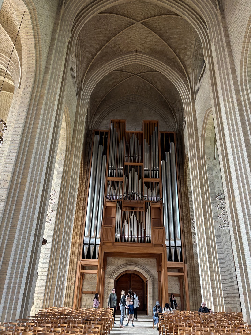
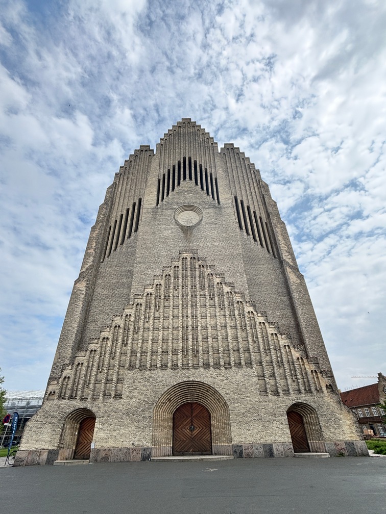 Next day Kathy and I headed out to find Grundtvig’s Church (danish modern), bus ride from hell on the way back with driving trying to fix door closure to fix air system, then Stop buttons didn’t work and we missed another stop going to
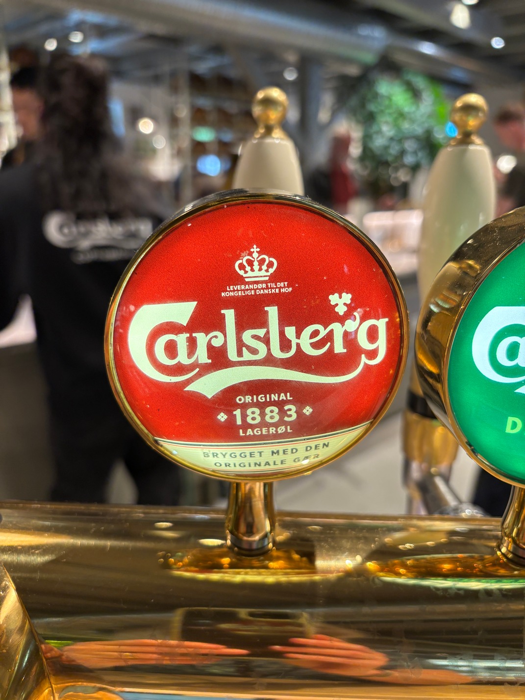
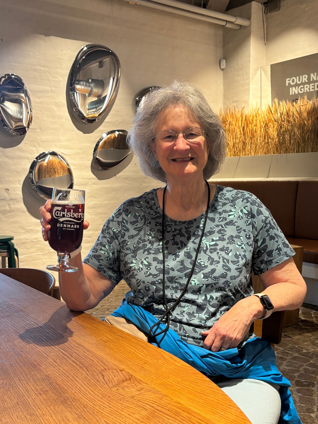
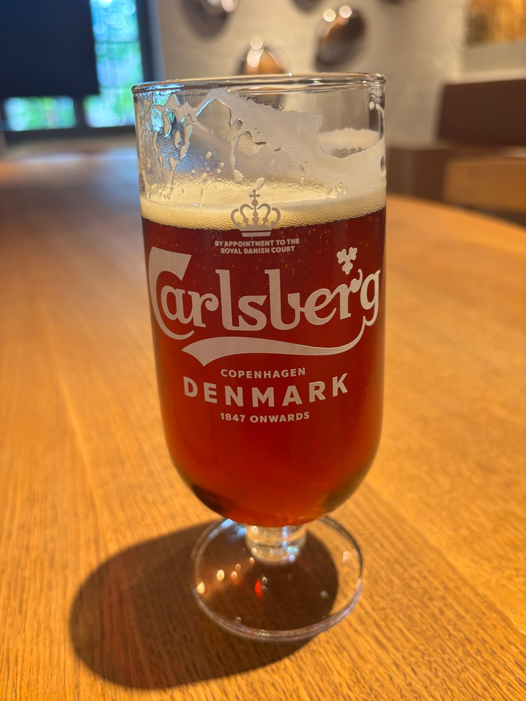
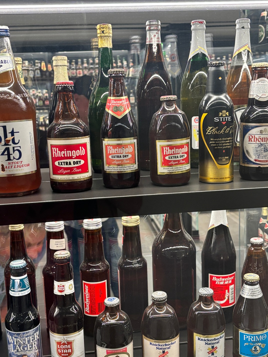
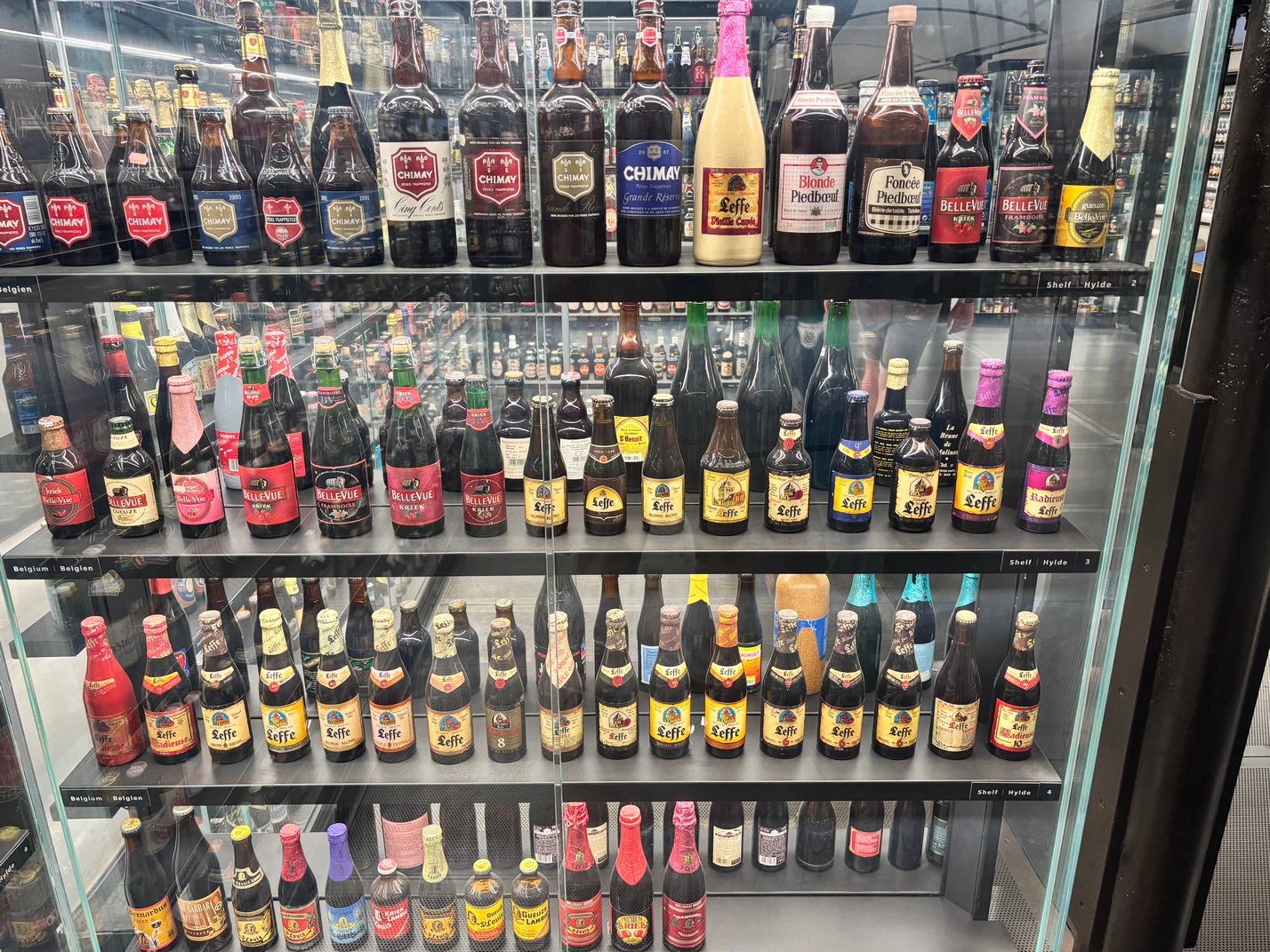
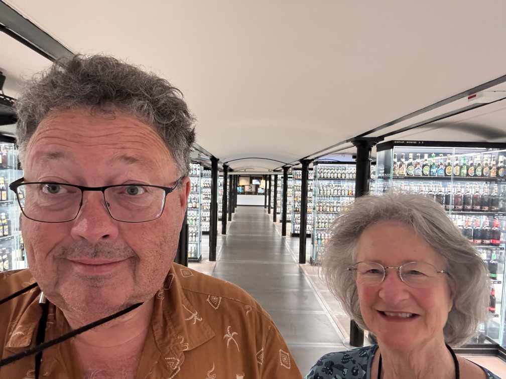
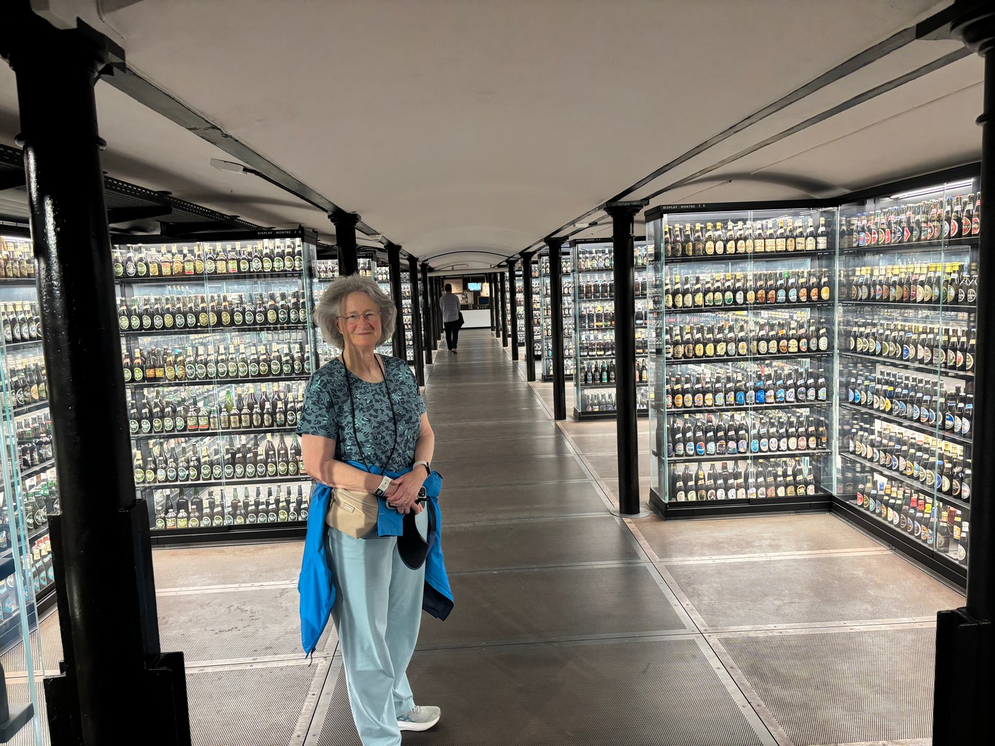
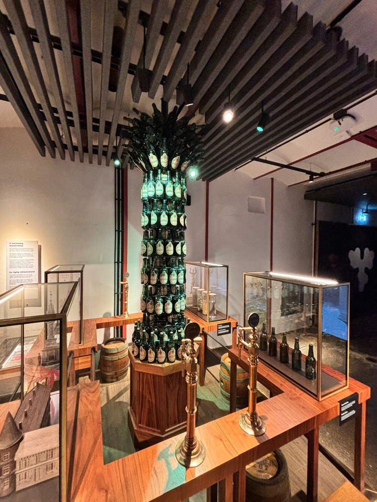
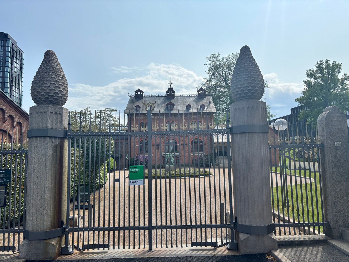
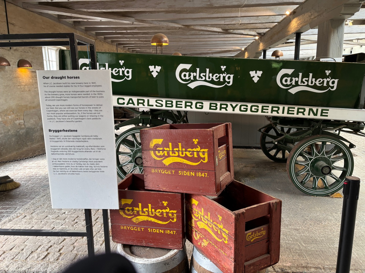
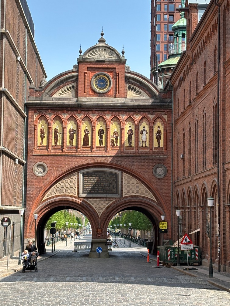
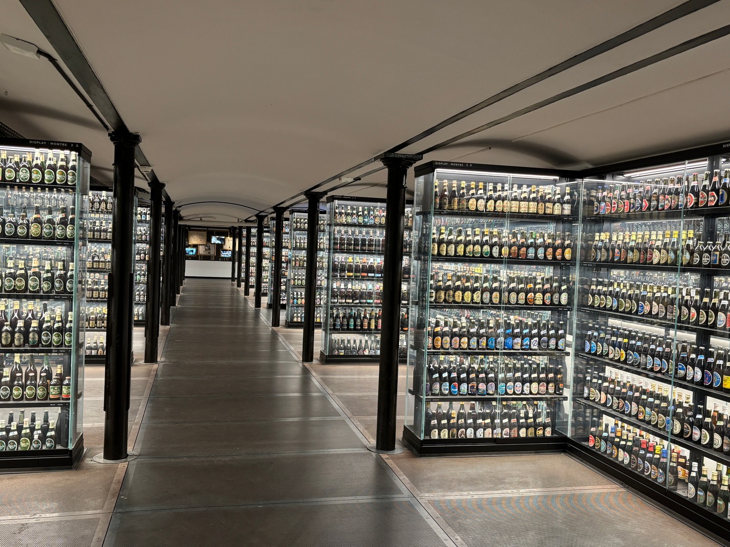
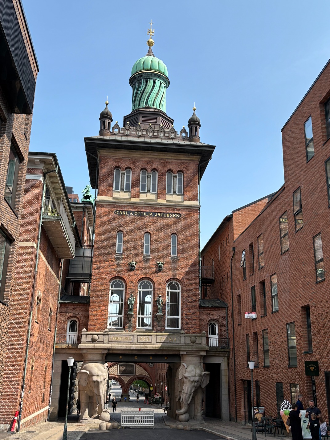
  Elephant Gate & Tower, walk to the Carlsberg Brewery to view the beer bottle museum. Had to go thru the whole brewery tour which was underwhelming at best just to get to the room with the bottles. Afterward we did get a big glass of Carlsberg 1883 ale, which was really good, but we were informed it wasn’t available anywhere else. Bummer..
Happy hour that evening on the big marble table in the transit area between the towers, met the Man and baby from New Zealand. That baby loved Tami… He also Helped us out with the Birmingham/Manchester/Leads vs York question on the route. Kathy got a Poke bowl that night for dinner.
Off to Hamburg Germany..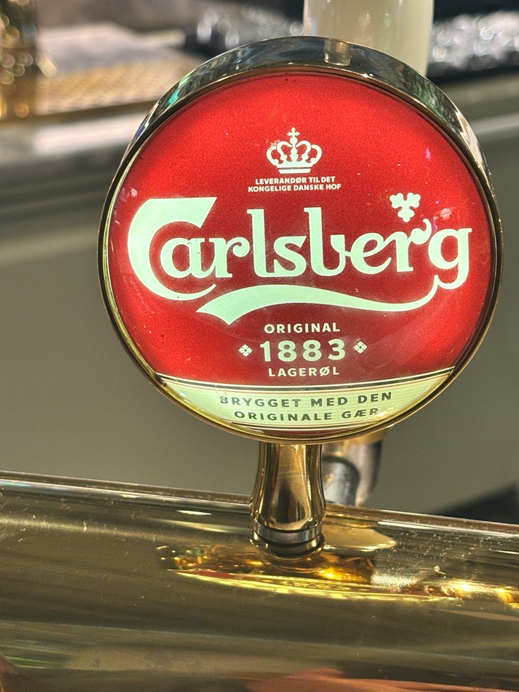
![]()
![]()

![]()


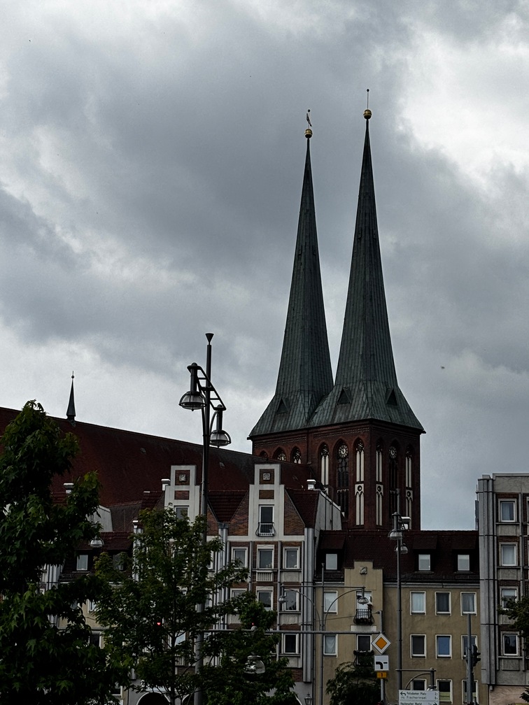
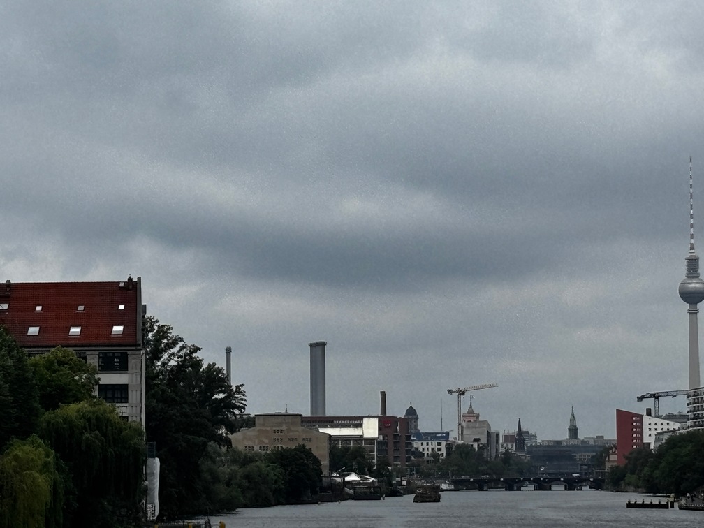
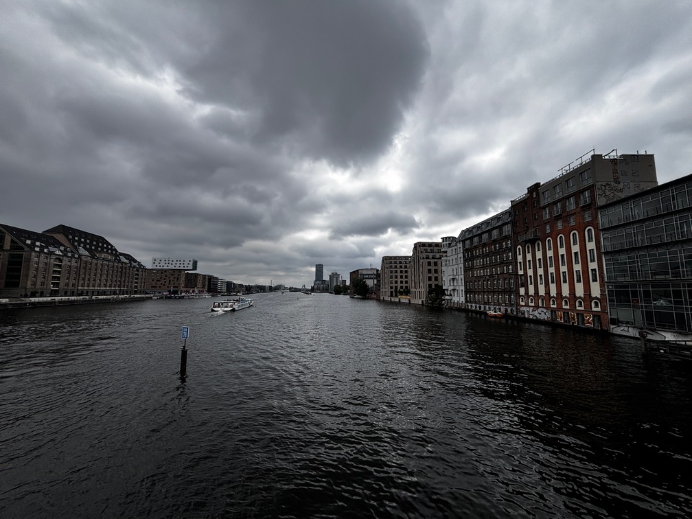
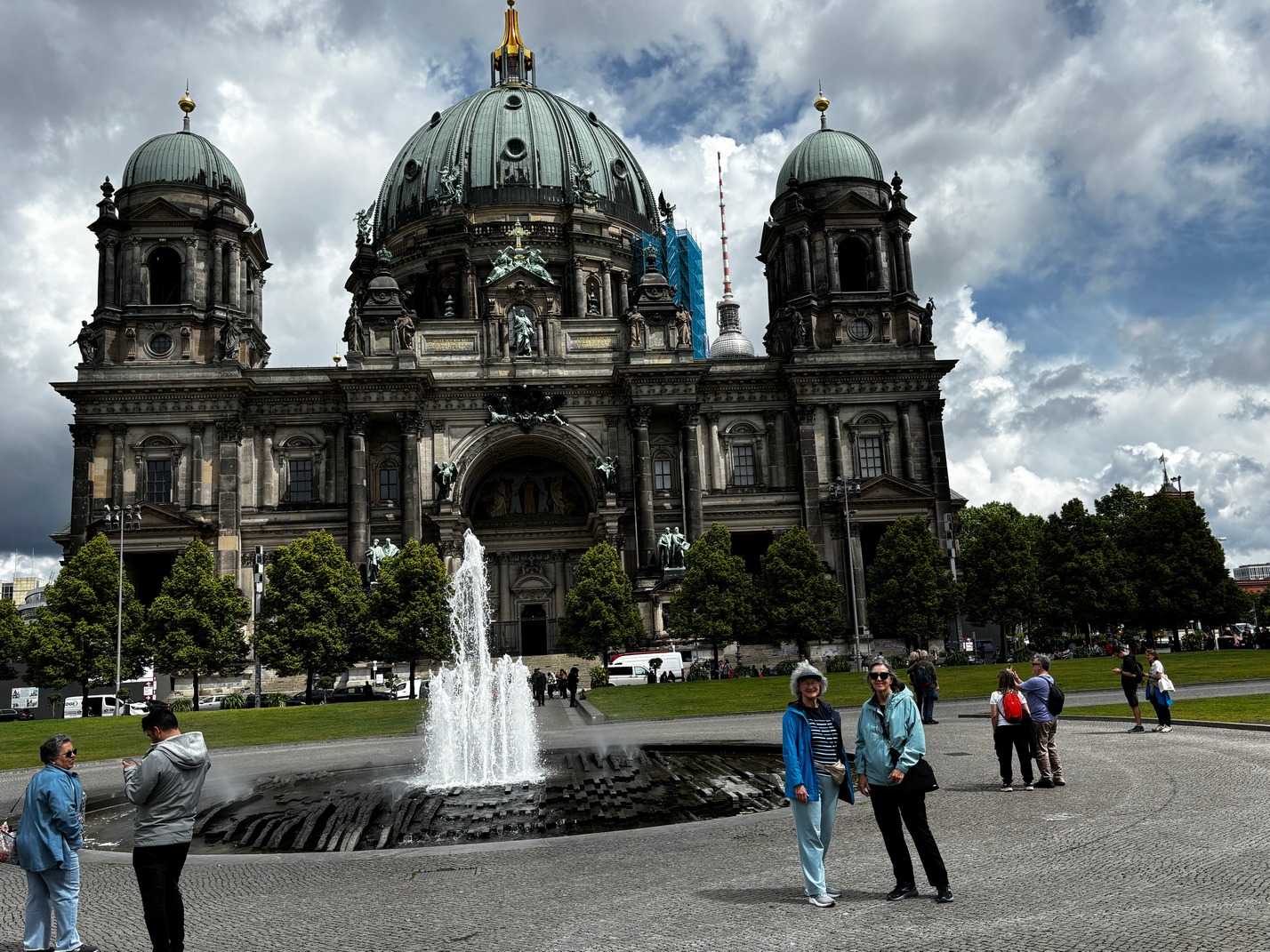
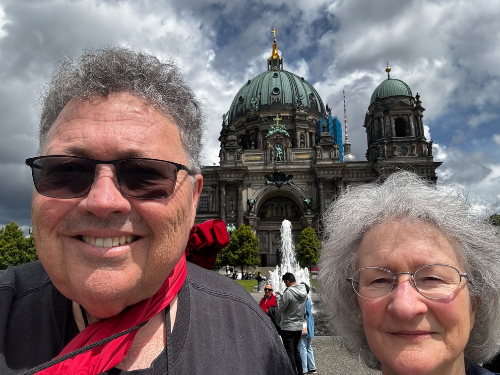
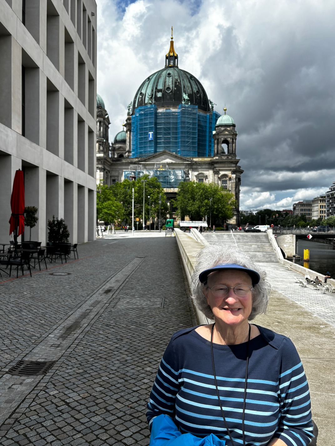
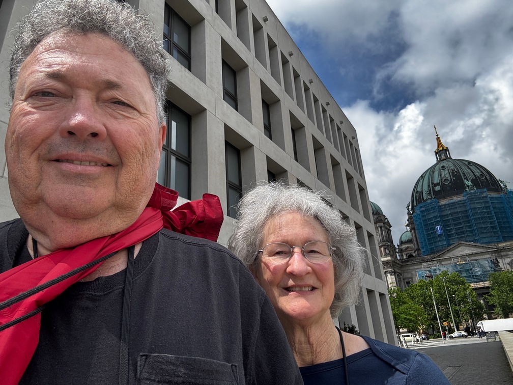
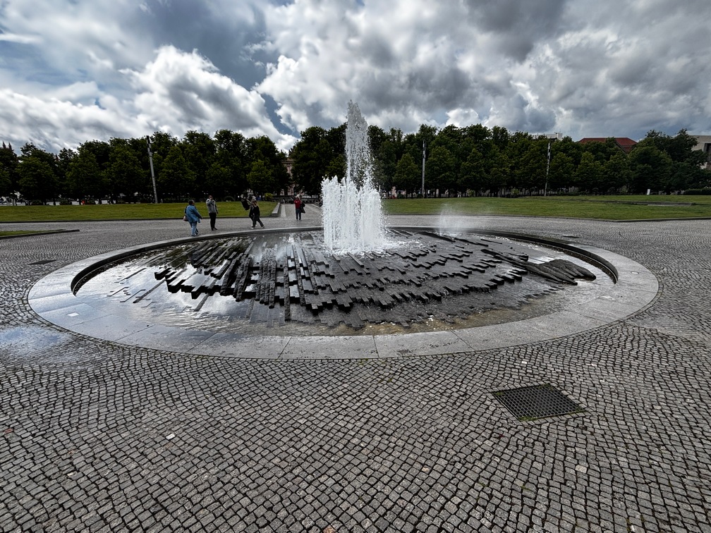
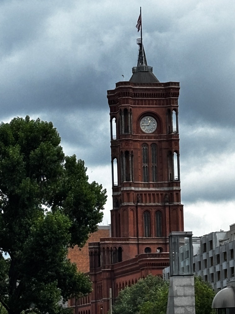
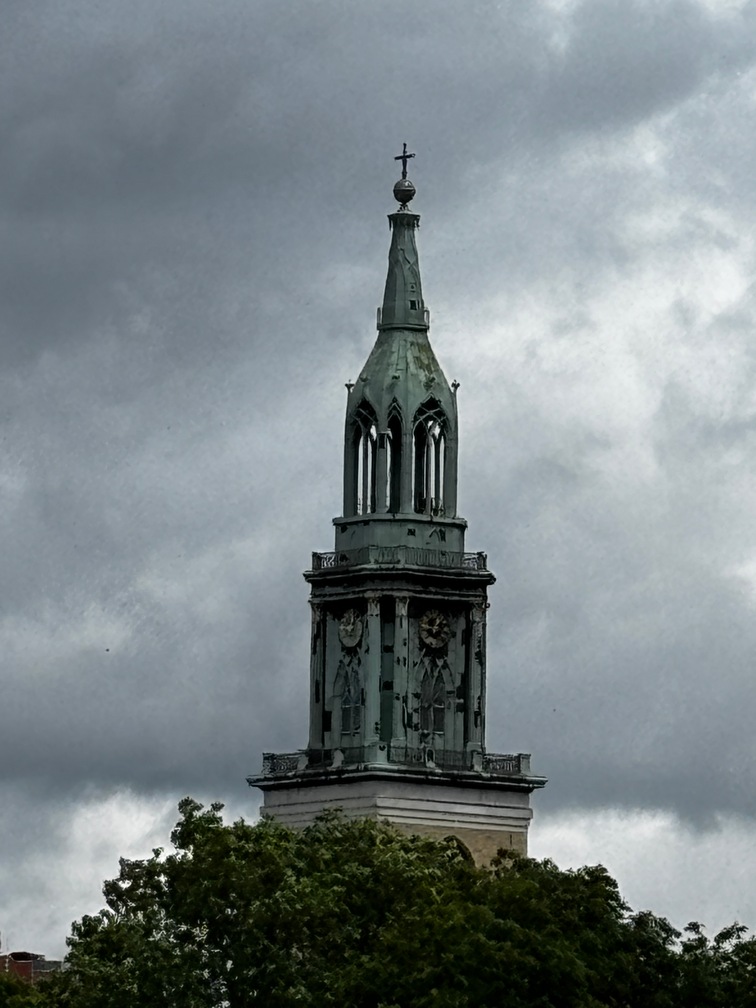
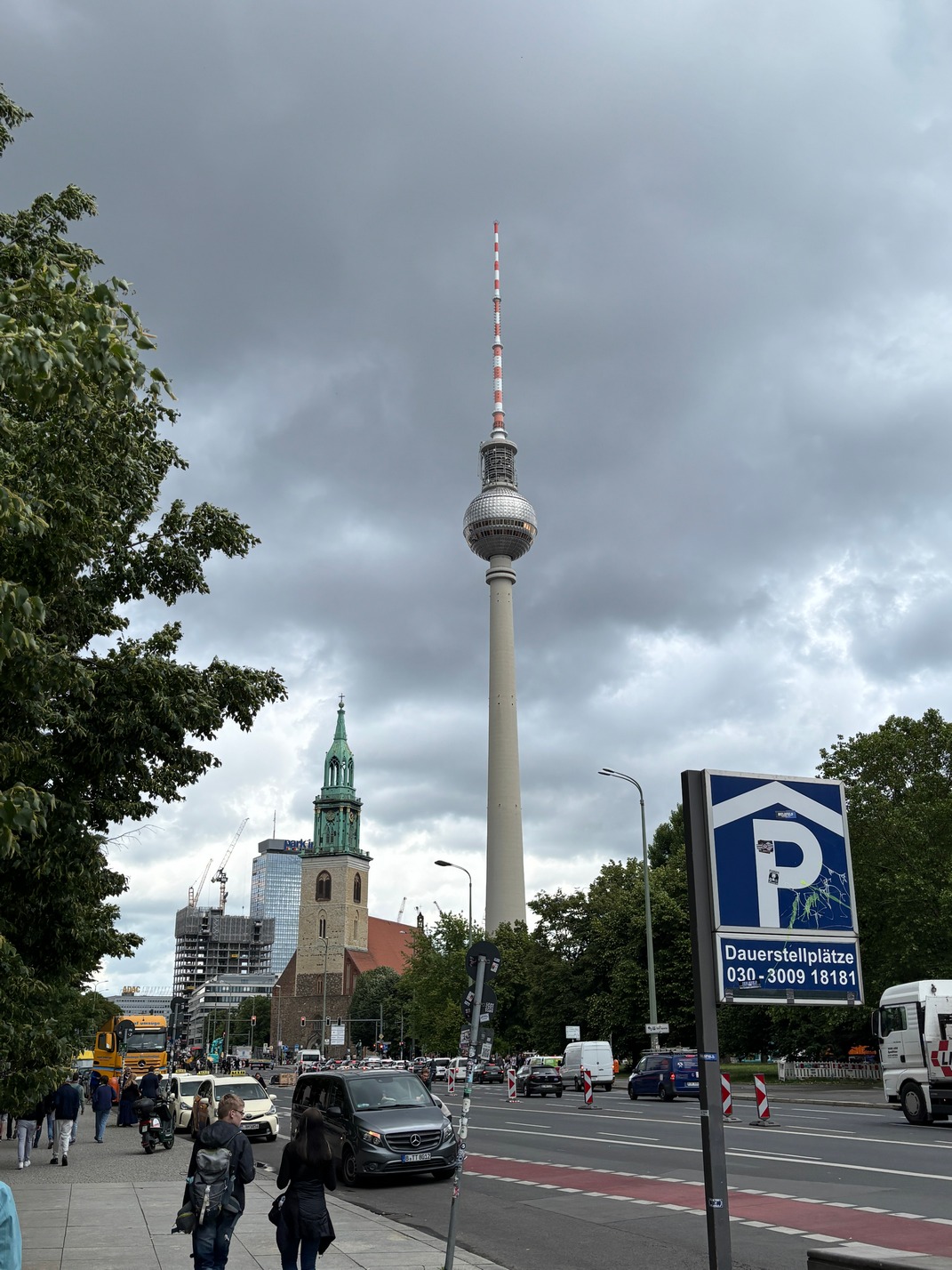
Berlin
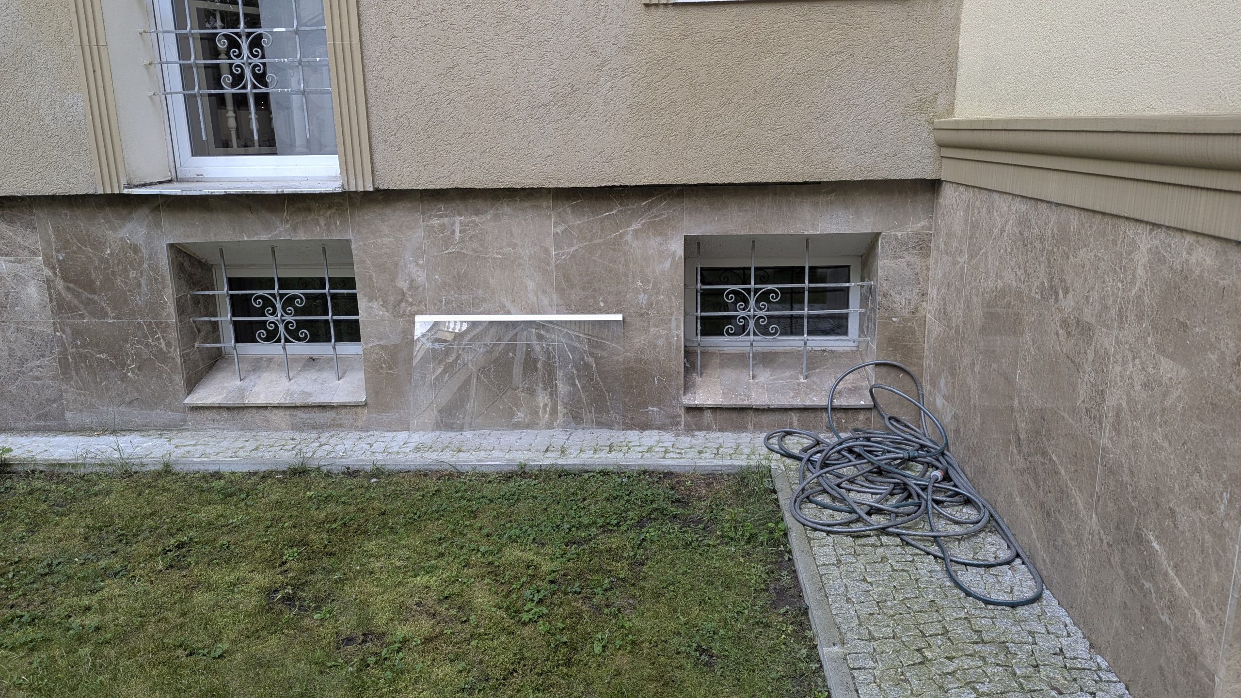
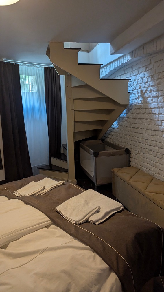
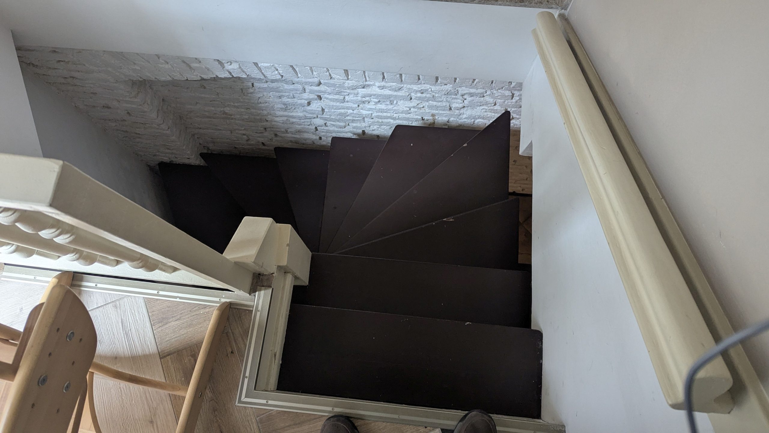
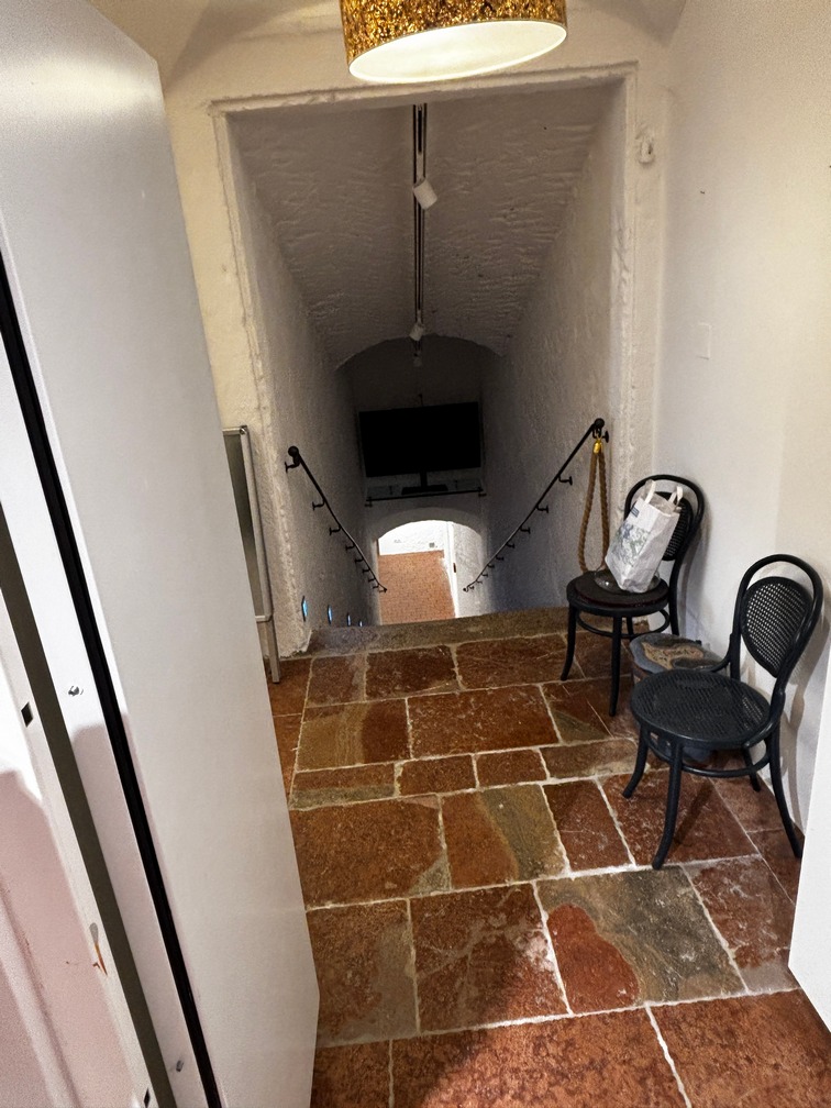
 Took an Uber to the rented apartment. Finally figured out where the apartment door was located and went inside only to find it smelled like an ashtray and the second bedroom was downstairs in the basement with some very rickety stairs from the kitchen down to it. It smelled even worse when we got down there. We immediately called it The Dungeon! There were two small basement windows that had bars on them. And the two bathrooms it was supposed to have was really 1.5 bathrooms. Nothing in the basement bedroom. We all decided to find someplace else, we couldn’t stay here. We will never use Booking.com again. They would not help us get our money back ($1440). Seems the owners know if they don’t respond to Booking.com emails about the issue they won’t refund the money. Seems to me to be well oiled SCAM. Some pictures of the Lux Central Apartment showing the dungeon bedroom and sketchy stairs leading down to it. Notice the miniature windows as the egress… with bars. Not that anyone but an infant could have gotten out thru them if the bars weren’t there.
Cabbed over to a New Hotel in East Berlin. It was extremely Nice! And at a very reasonable price. Almost dirt cheap! What was really interesting was they included 4 beers, Soda or water each day. Dinner at Italian place on other side of Spree river. Weird burger meat, I wouldn’t go back there. In house breakfast that first morning for €48.. Good, but the place around the corner was €32 and just a little bit better.
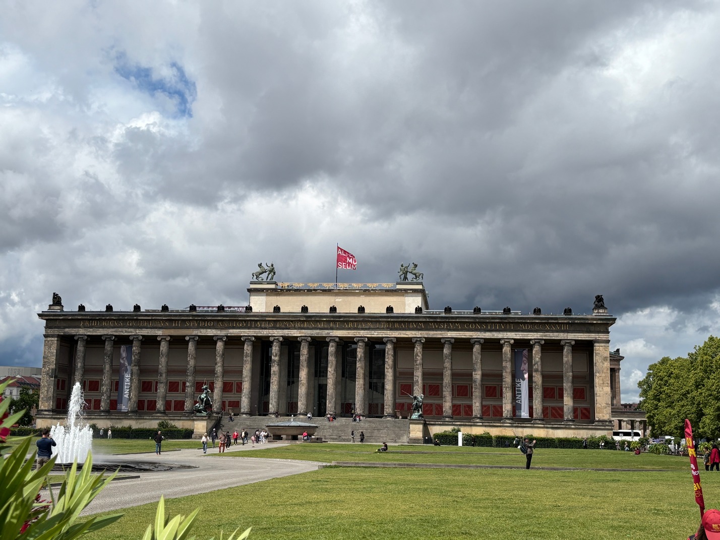
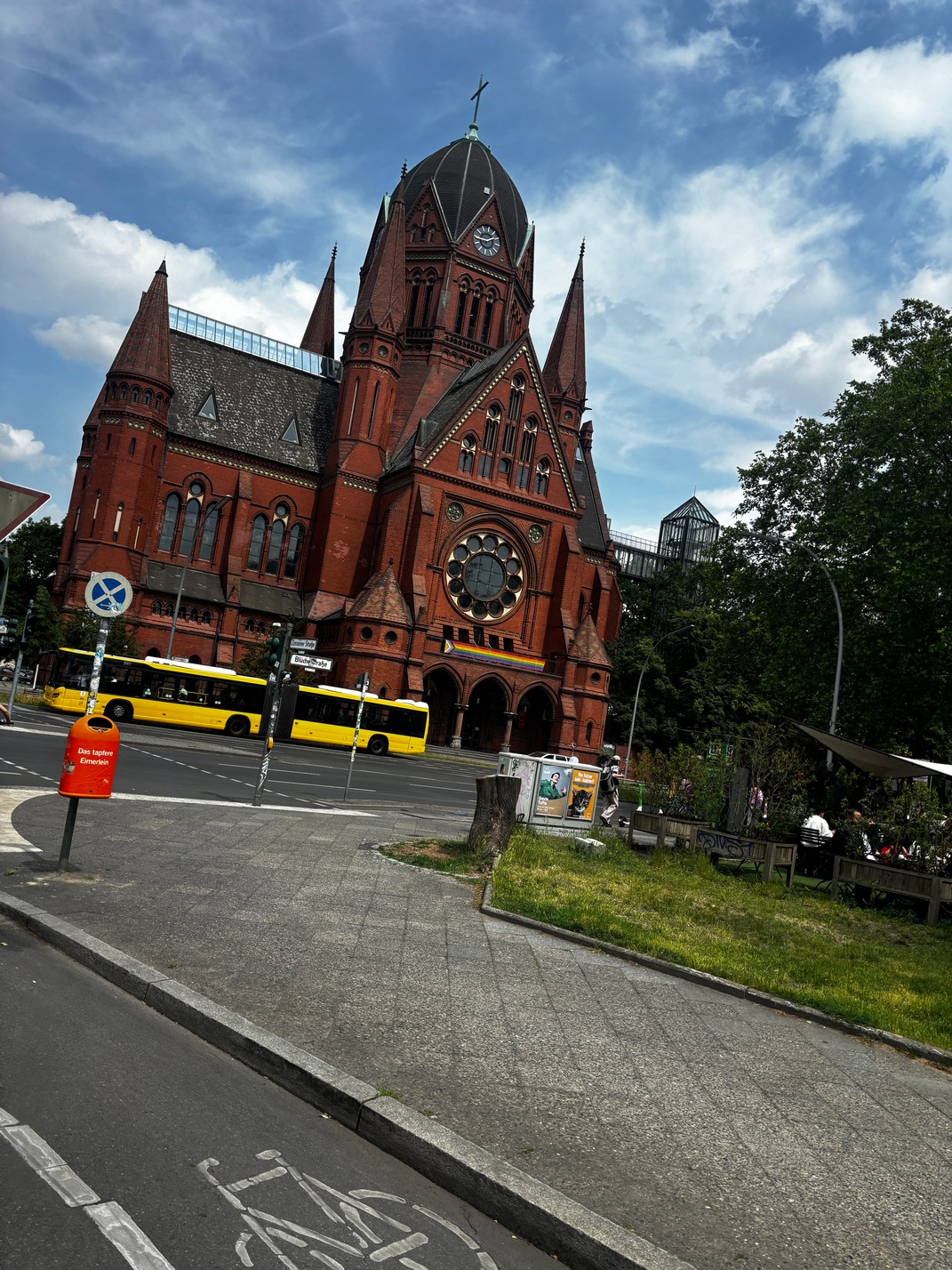
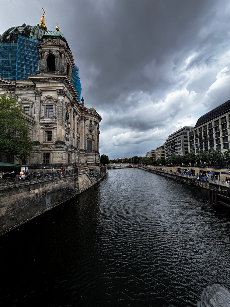
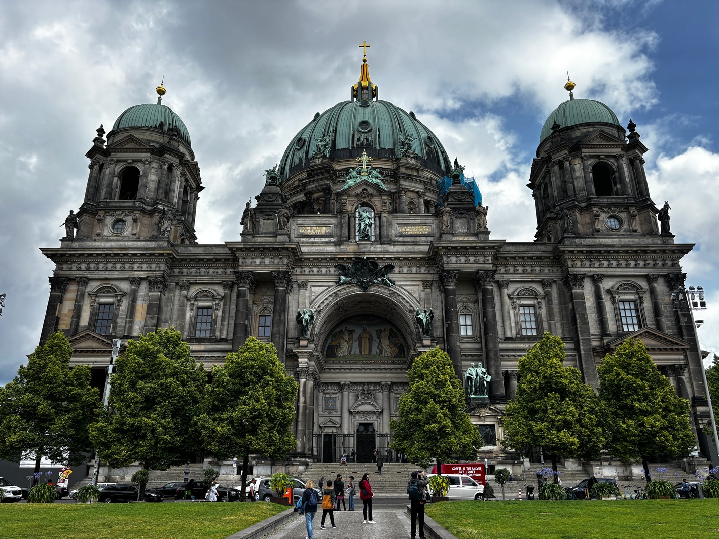
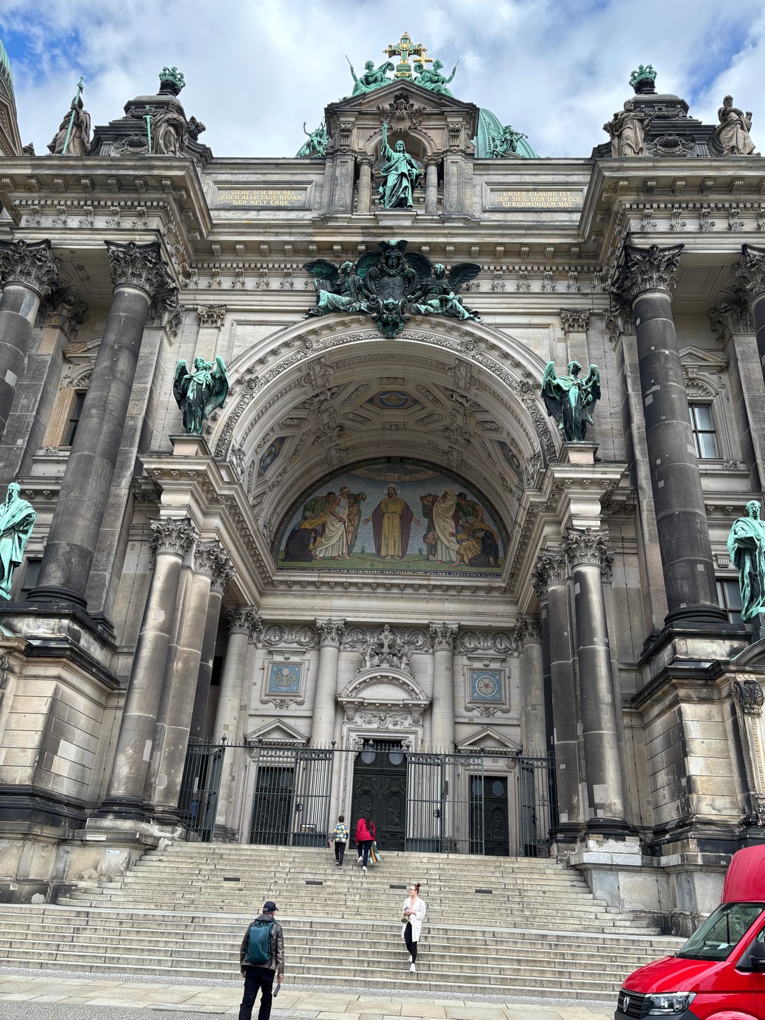
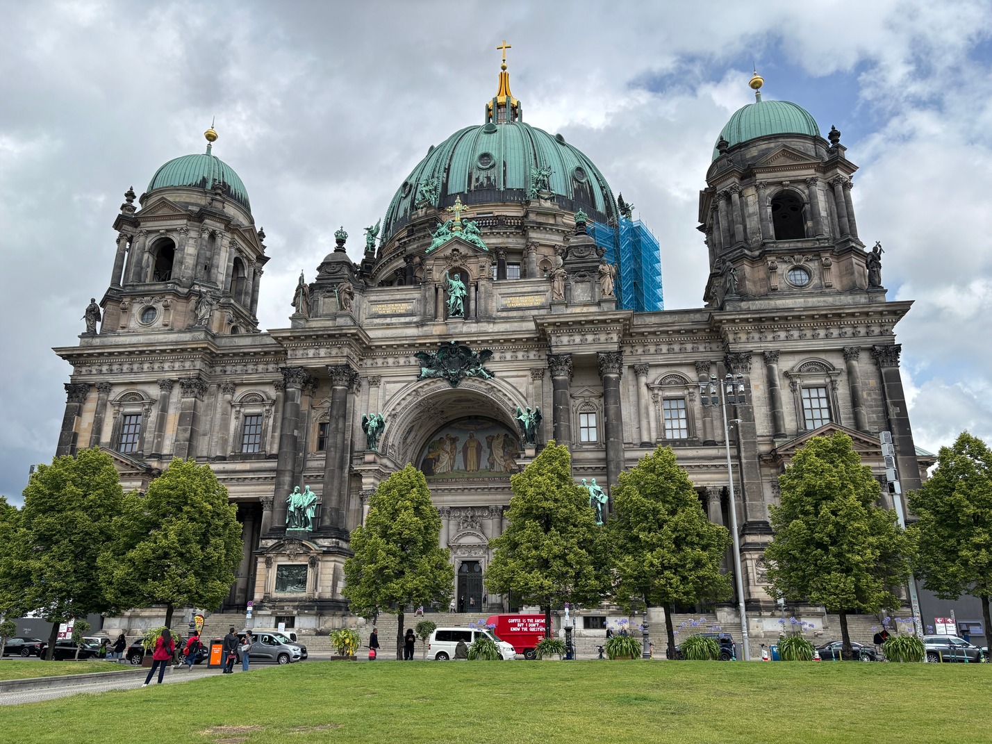
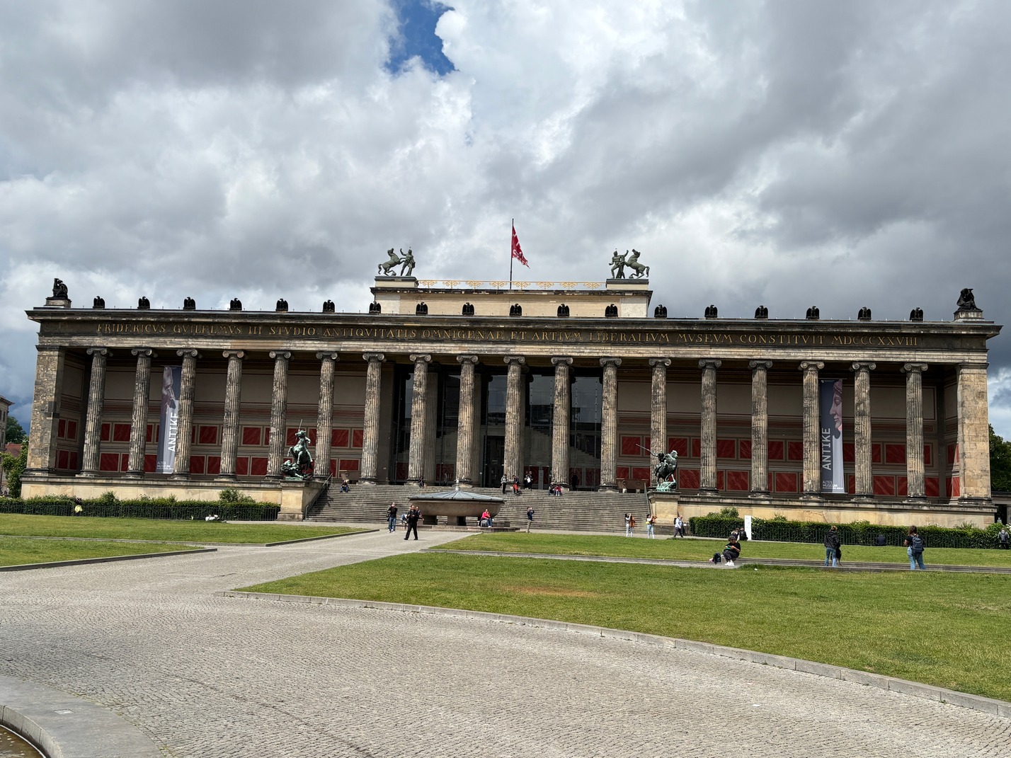
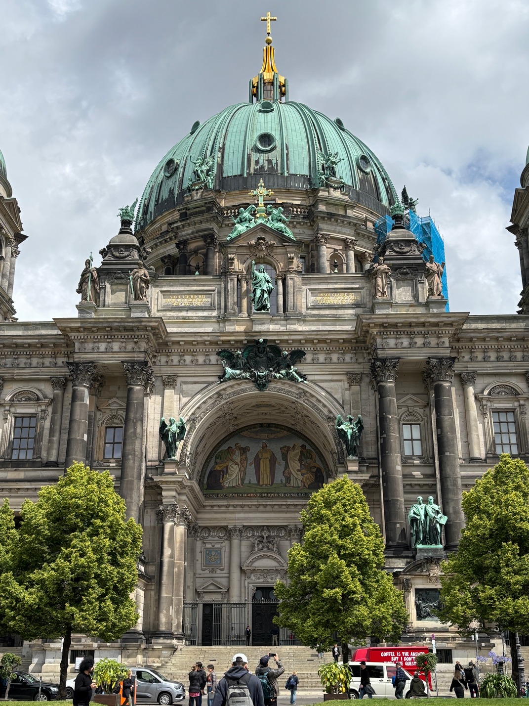
 Next morning we did the Breakfast place around the corner, and for the next few mornings too. Museum Island, big church then walk to Korean BBQ and the downpour! Bus back toward hotel and hit a grocery store to pick up some supplies and upon going outside the heavens let loose again and we waited till it slowed a bit then made a dash but only got about 100 feet and ducked into a car-park till the next slowing. Then off to the hotel with a slightly soggy bag of food in my hand.
Scott and I took a ride to a Firehouse near that other apartment and talked to one of the fireman in the house and explained what we had encountered. Showed him the picture and explained the kitchen was at the top of the stairs  that seemed cobbled together and had no handrails going down. Just a couple foot section at the very top. Those stairs also had large openings without any sort of mechanism to keep children from falling thru them down to the floor below. The openings were big enough for almost anyone to fall thru, so the missing hand rails seemed critical in my opinion. The windows in that basement were barred so there was no other escape route out if a fire started in the kitchen. The fireman told Scott and I that if a fire broke out in that kitchen and someone was down there it would be their last day on earth.
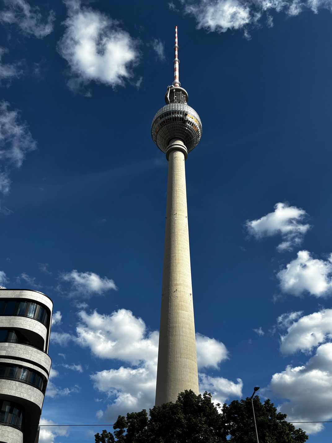
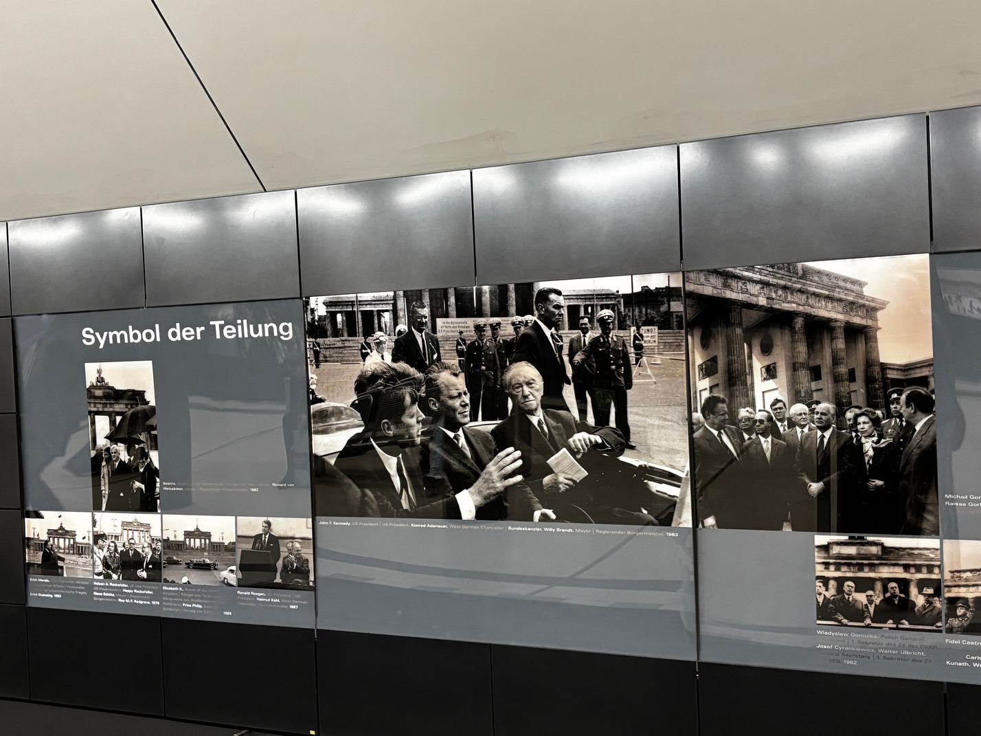
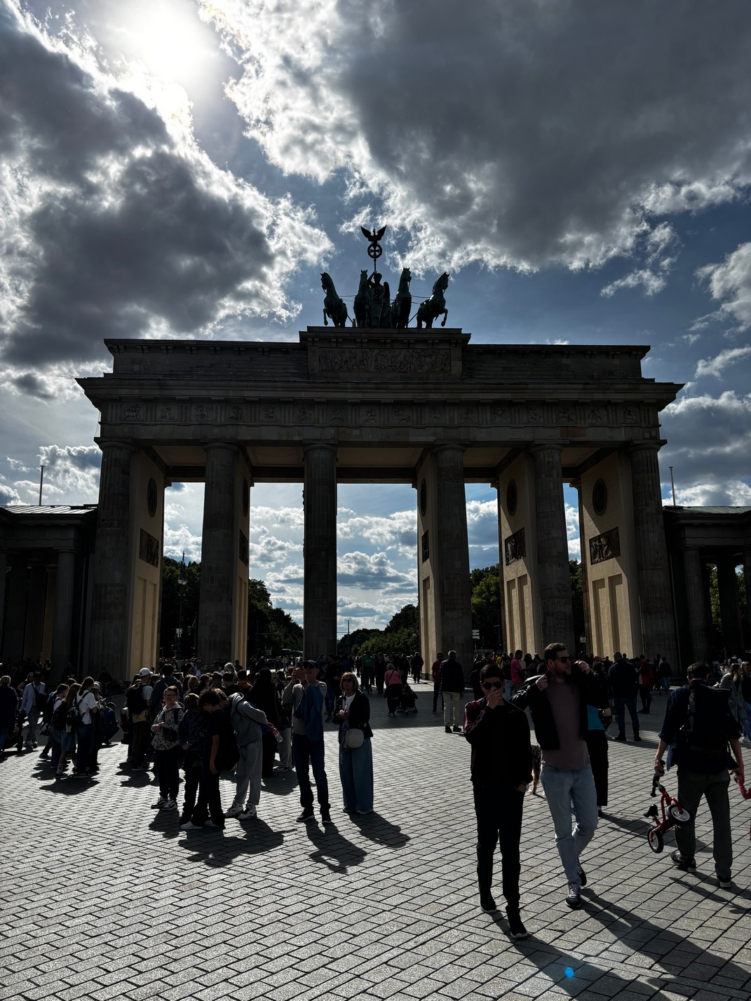
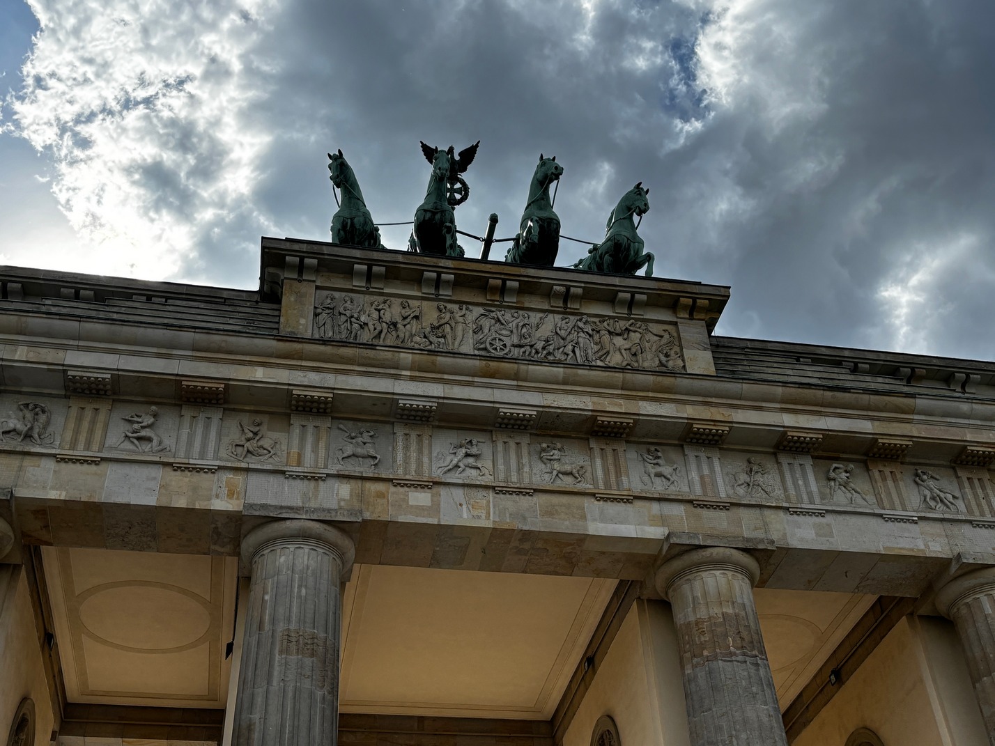
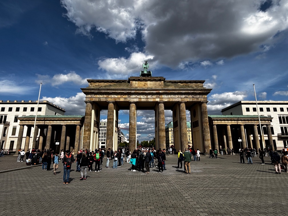
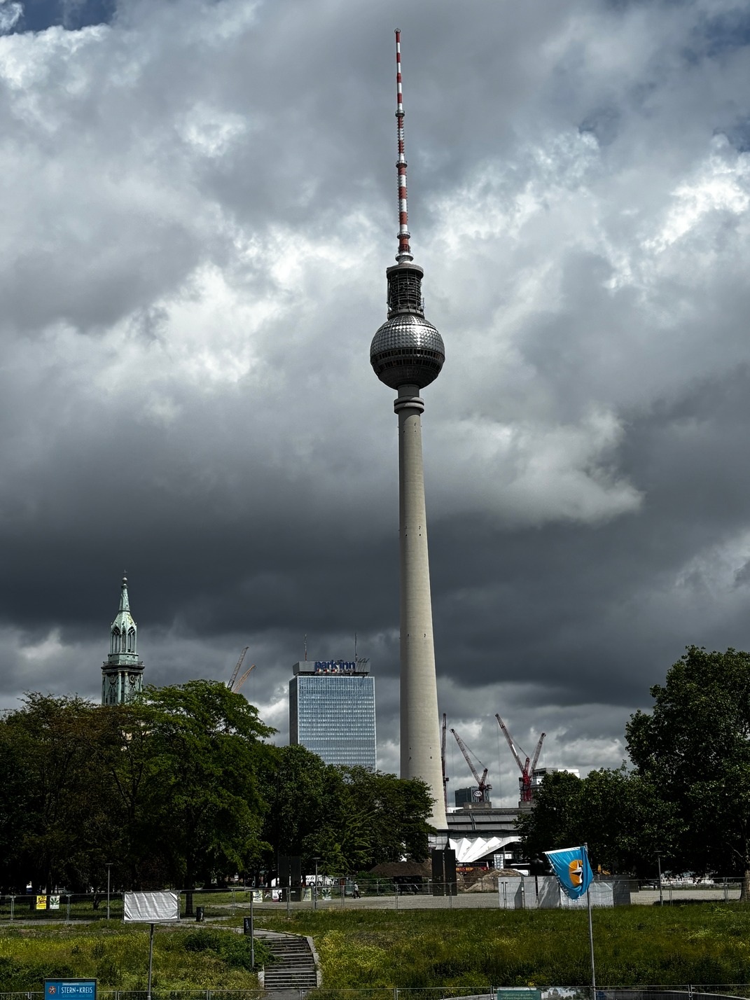
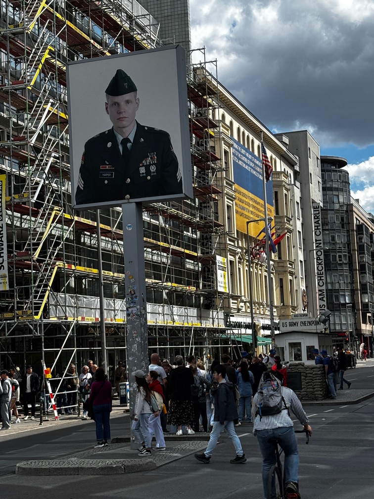 Metro’d over to Checkpoint Charlie, then bused over to
 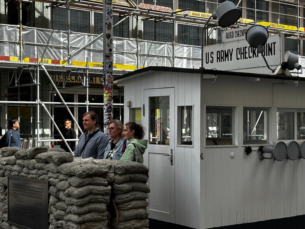 Brandenburg gate. Along the way the Bus stops, Terminates, driver won’t tell me where to get back on and continue the journey to the BB gate. Walk over to train station to catch exact same bus and driver again to get back home. Took the metro to the Alexander Platz where we walked around in the crowd and then hopped on a bus to the hotel.
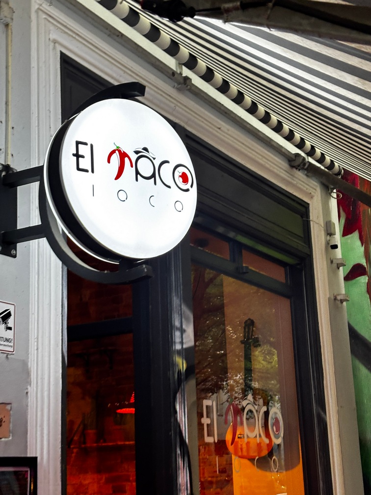 Found a great Taco place a couple miles from us called El Taco Loco. Really good Mexican food. So good we went back a few nights later with Tami and Scott.
Pad Thai dinner €10.50 that night was pretty good, especially considering it was a reasonable cost and just a few steps from the hotel.
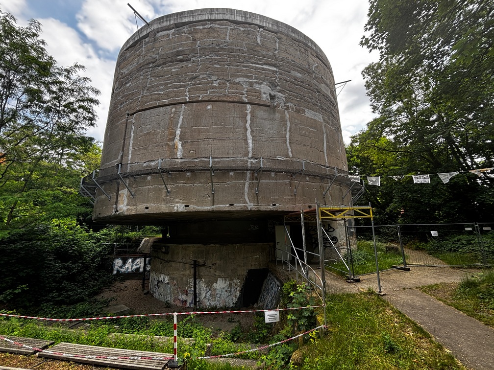
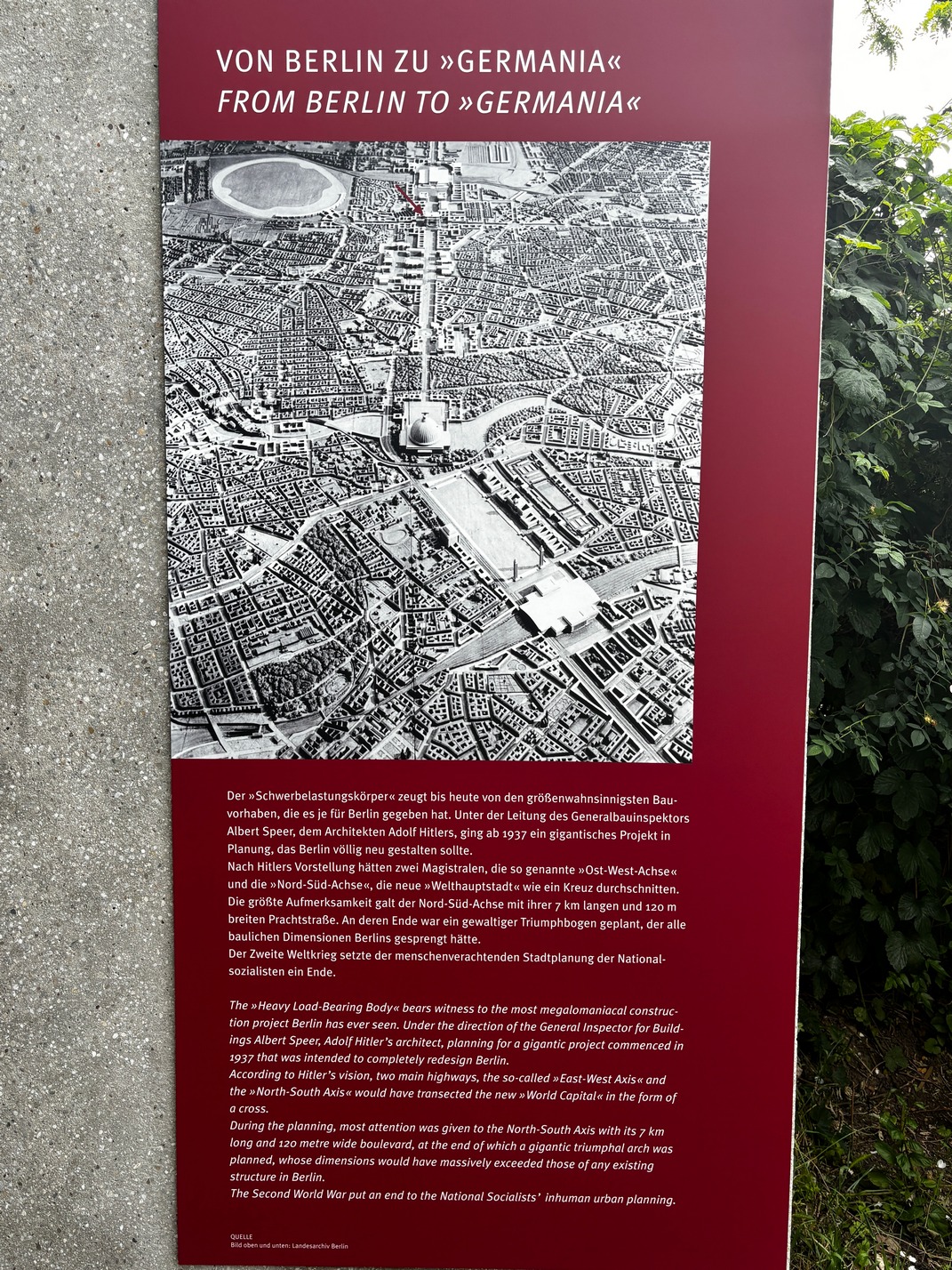
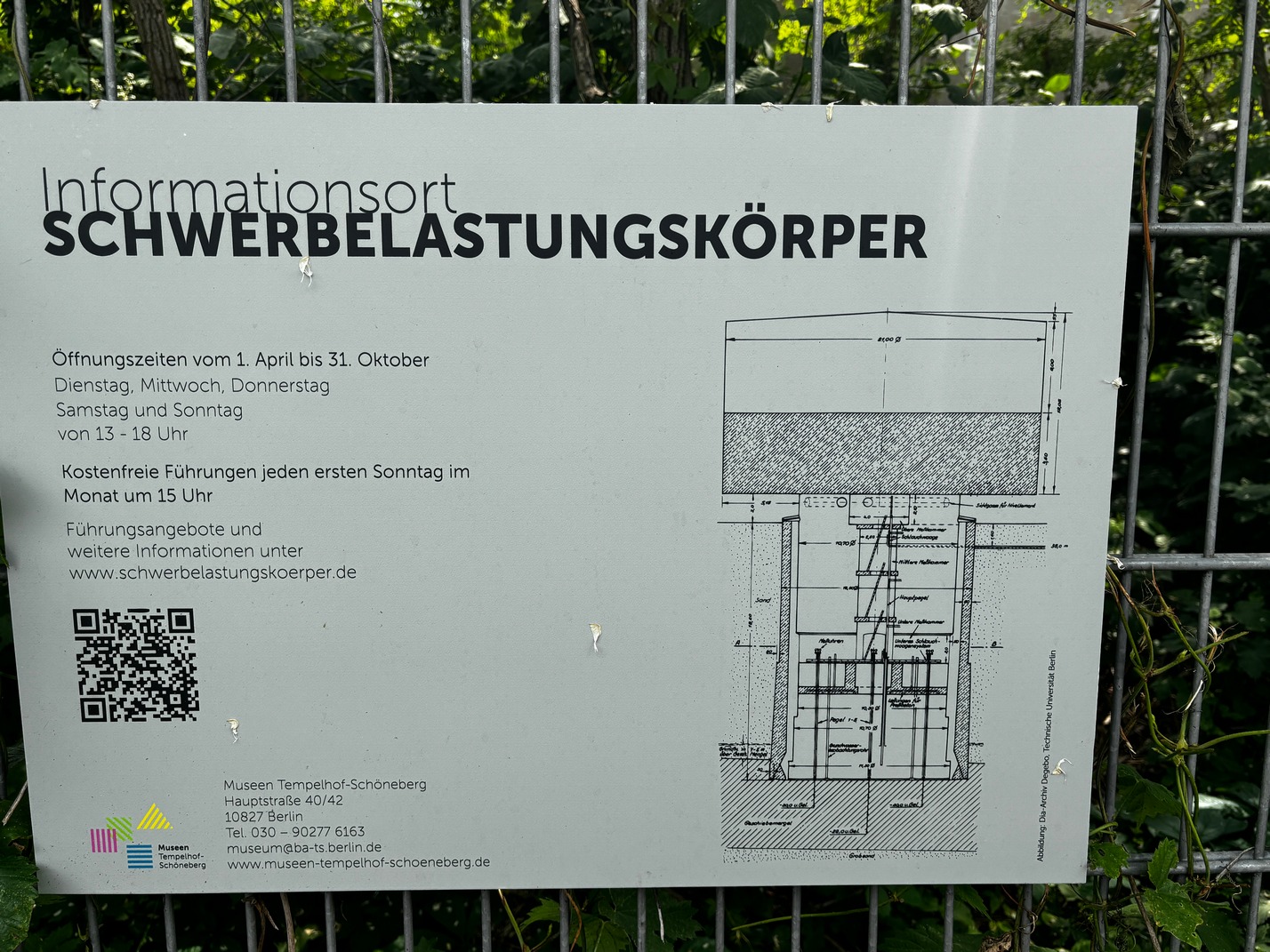
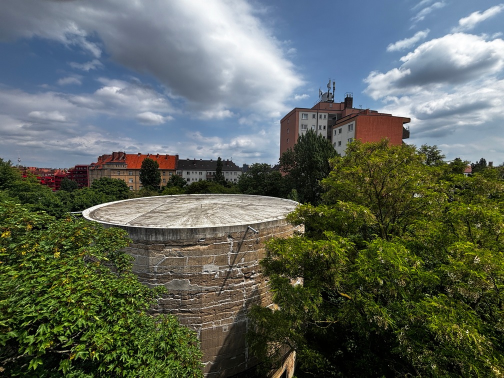
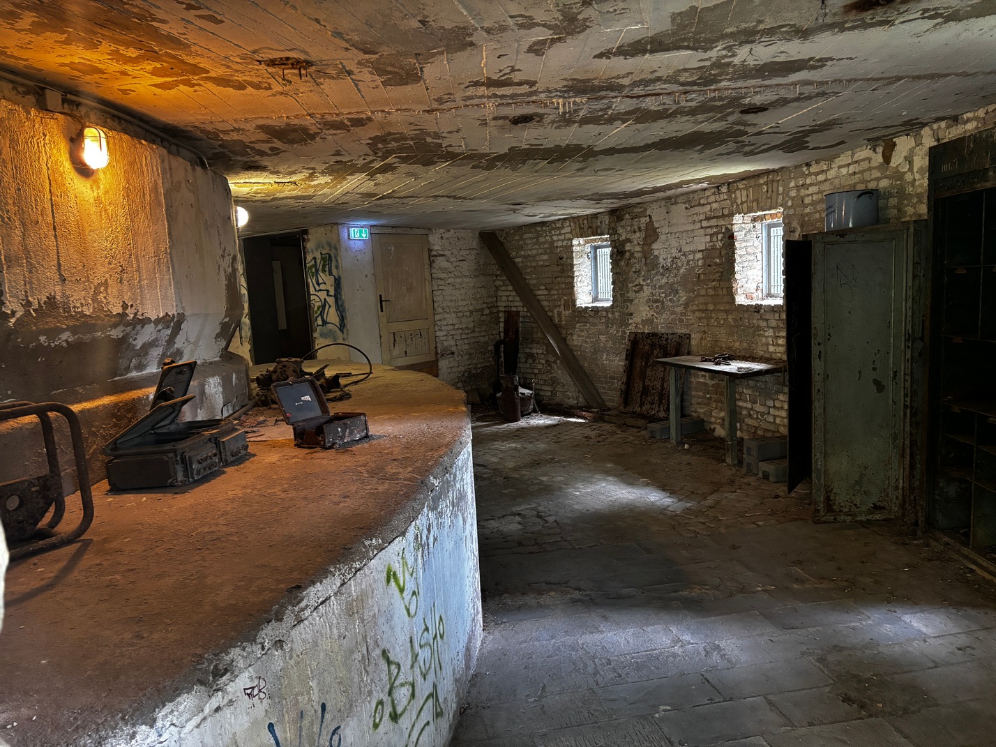
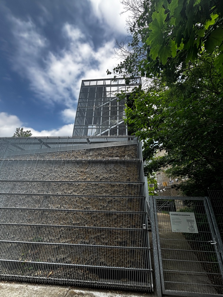
I decided to take a short trip to find the Schwerbelastungskorper. aka The heavy load bearing body. You can google that to find out what it was used for.
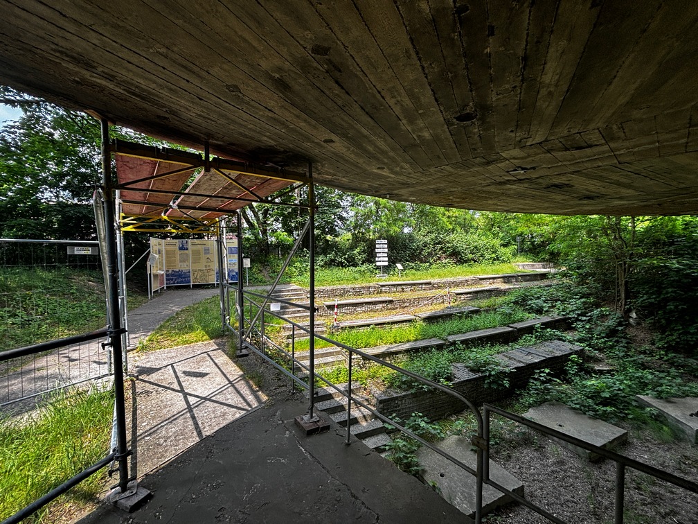
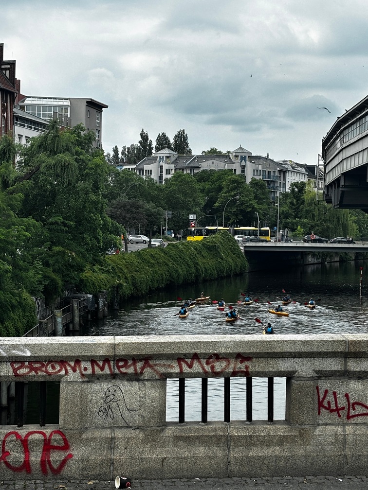
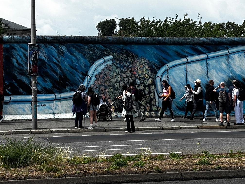
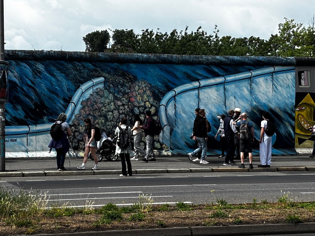
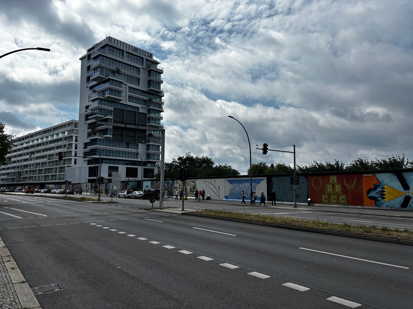
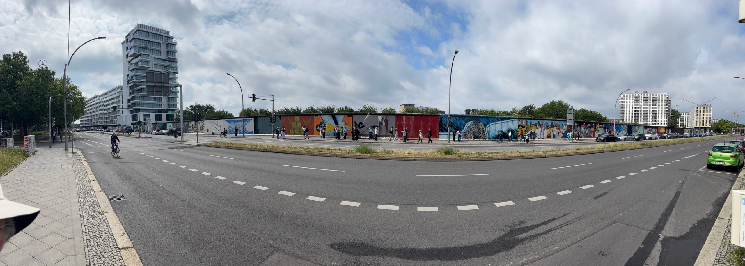
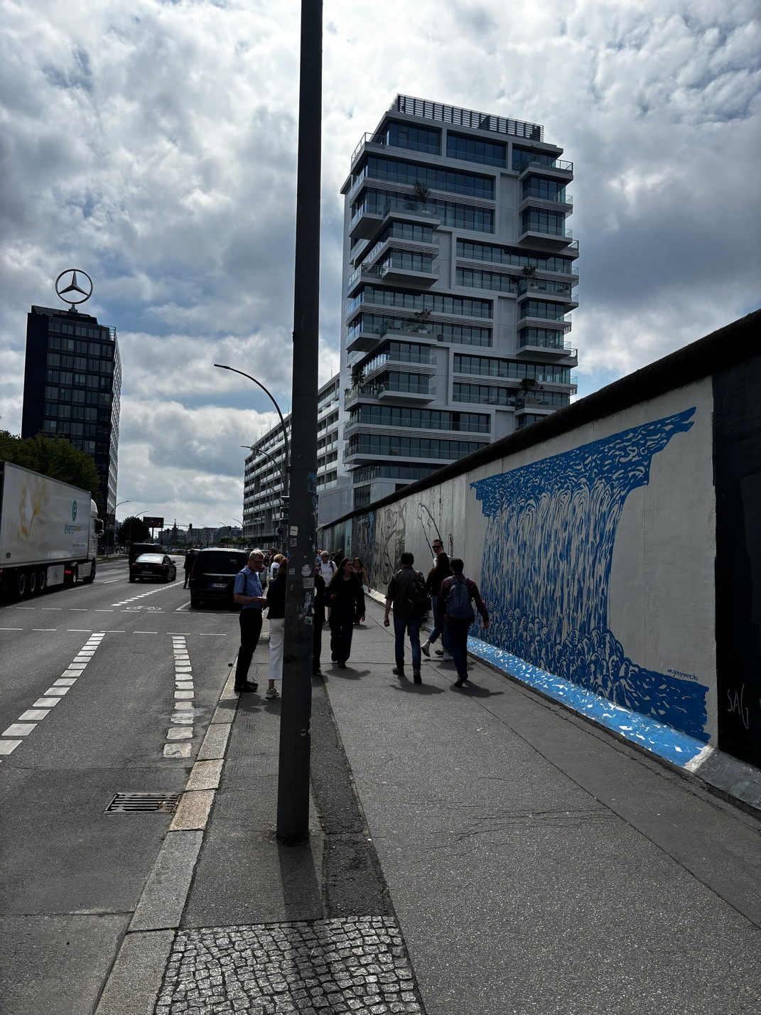
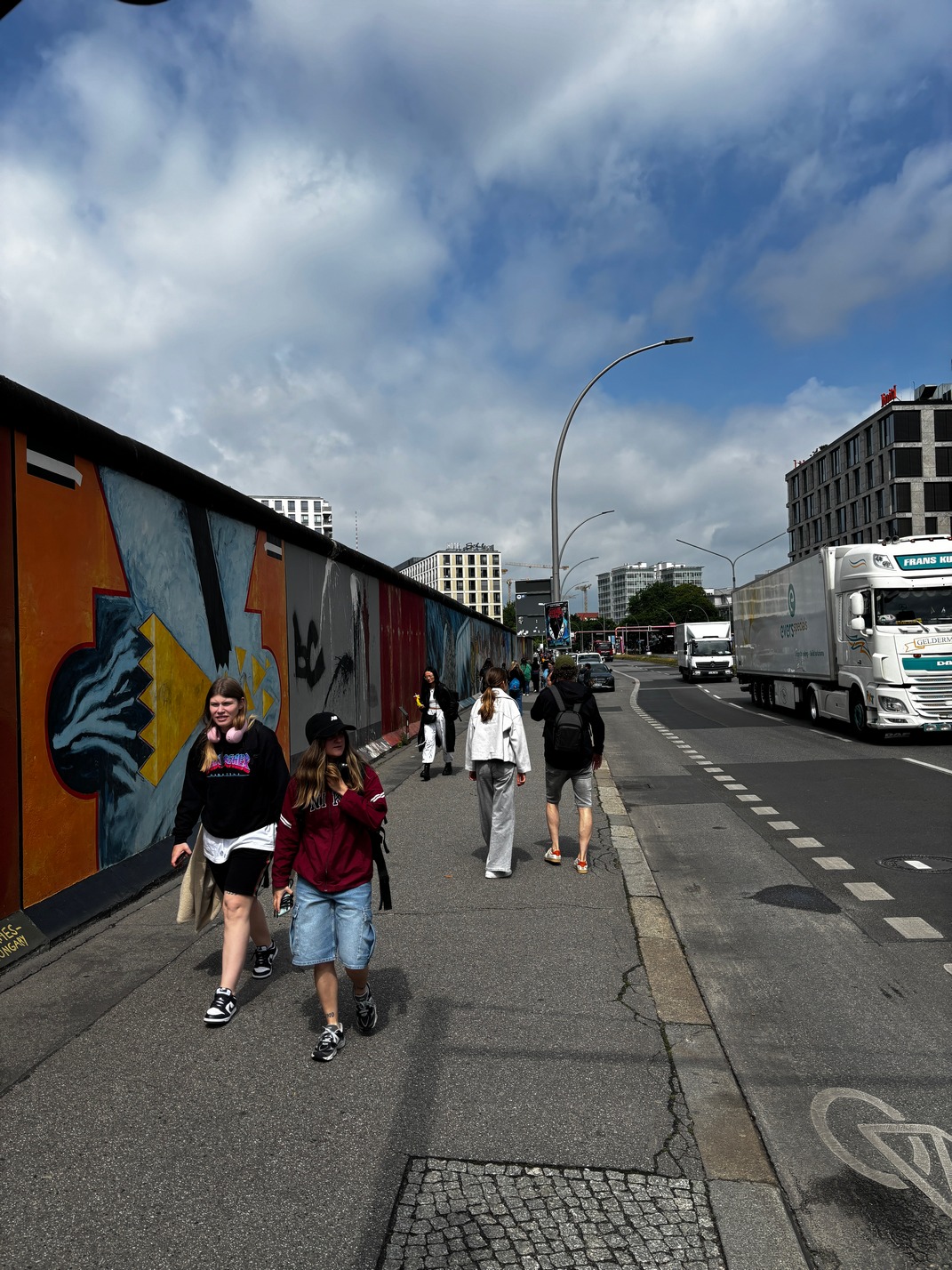
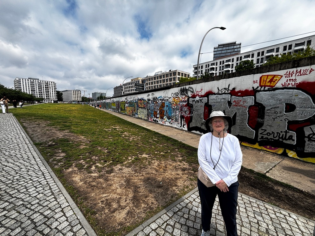
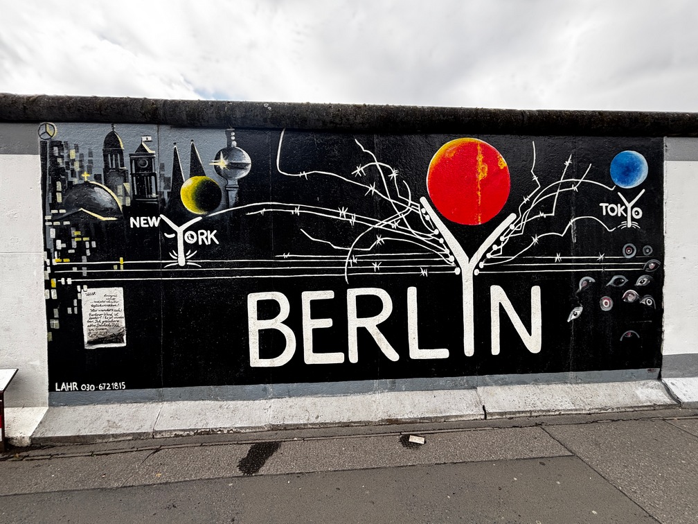
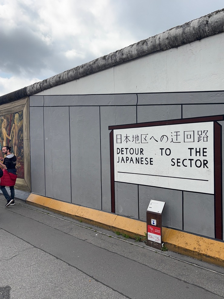
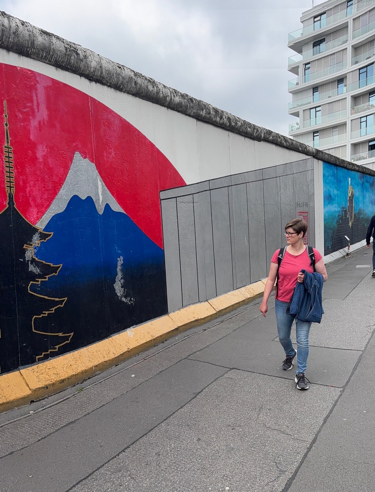
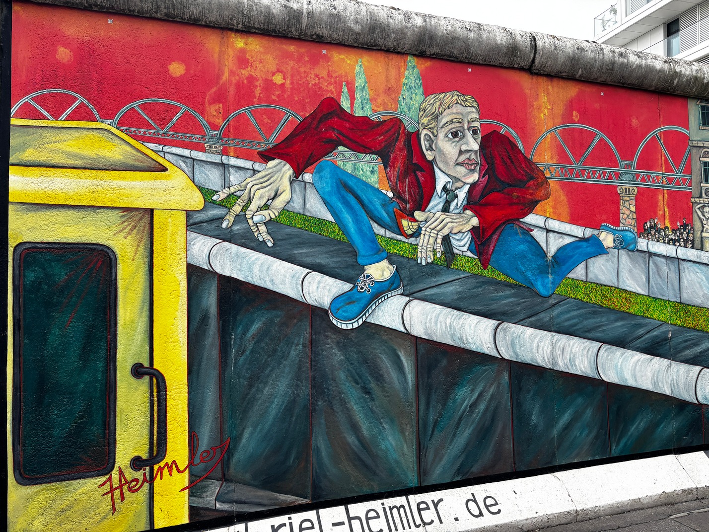
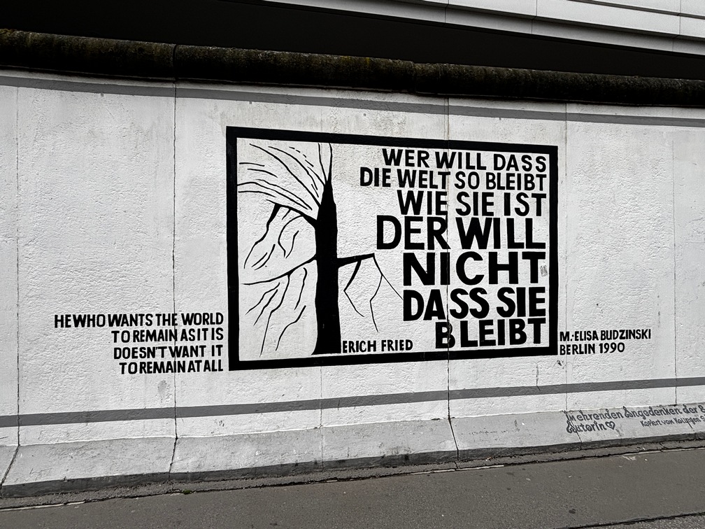
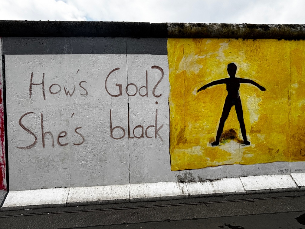
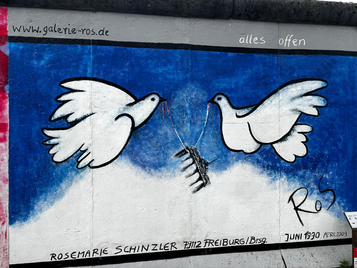
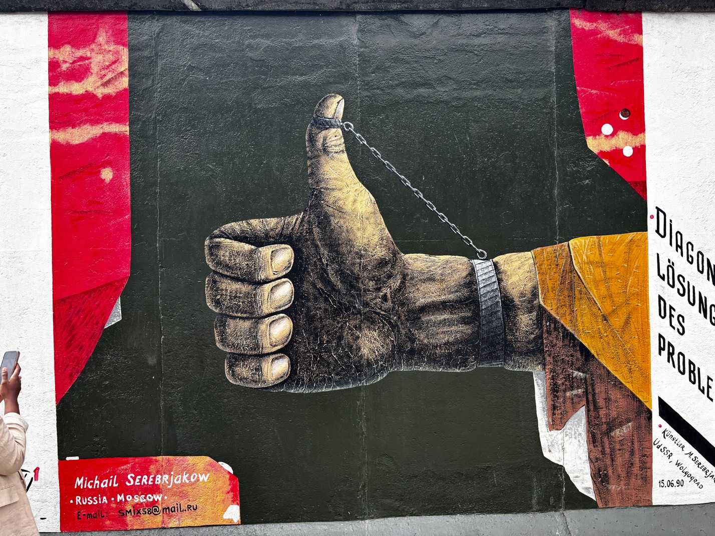
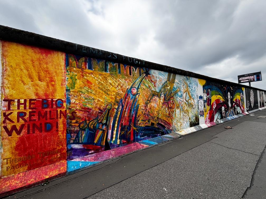
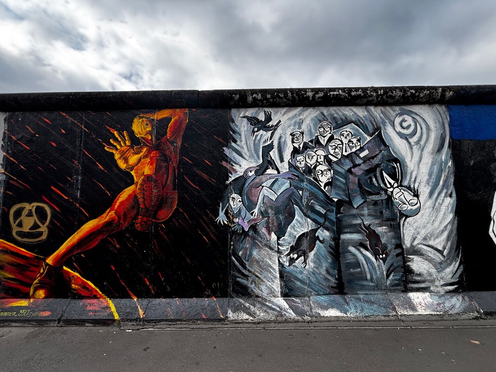
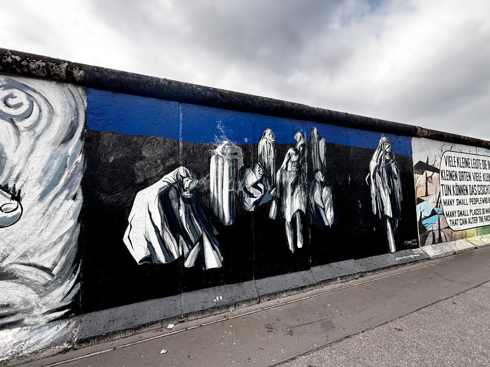
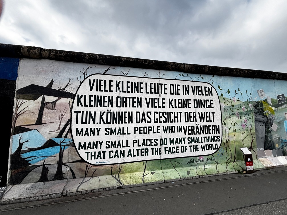
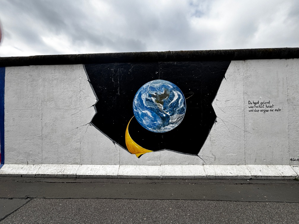
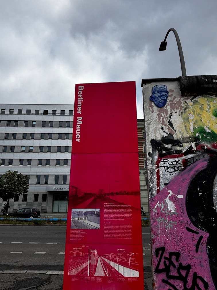
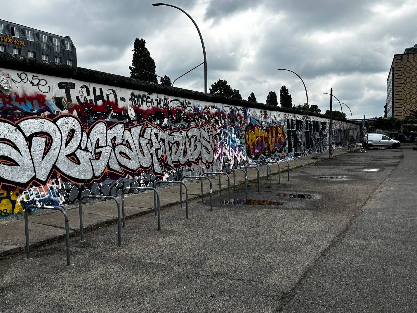
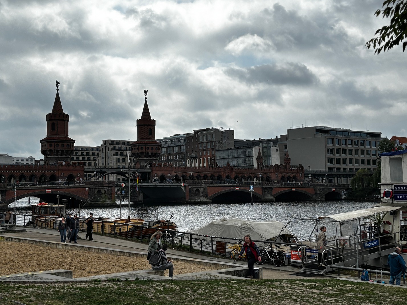
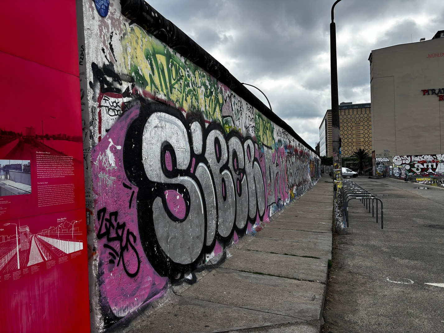
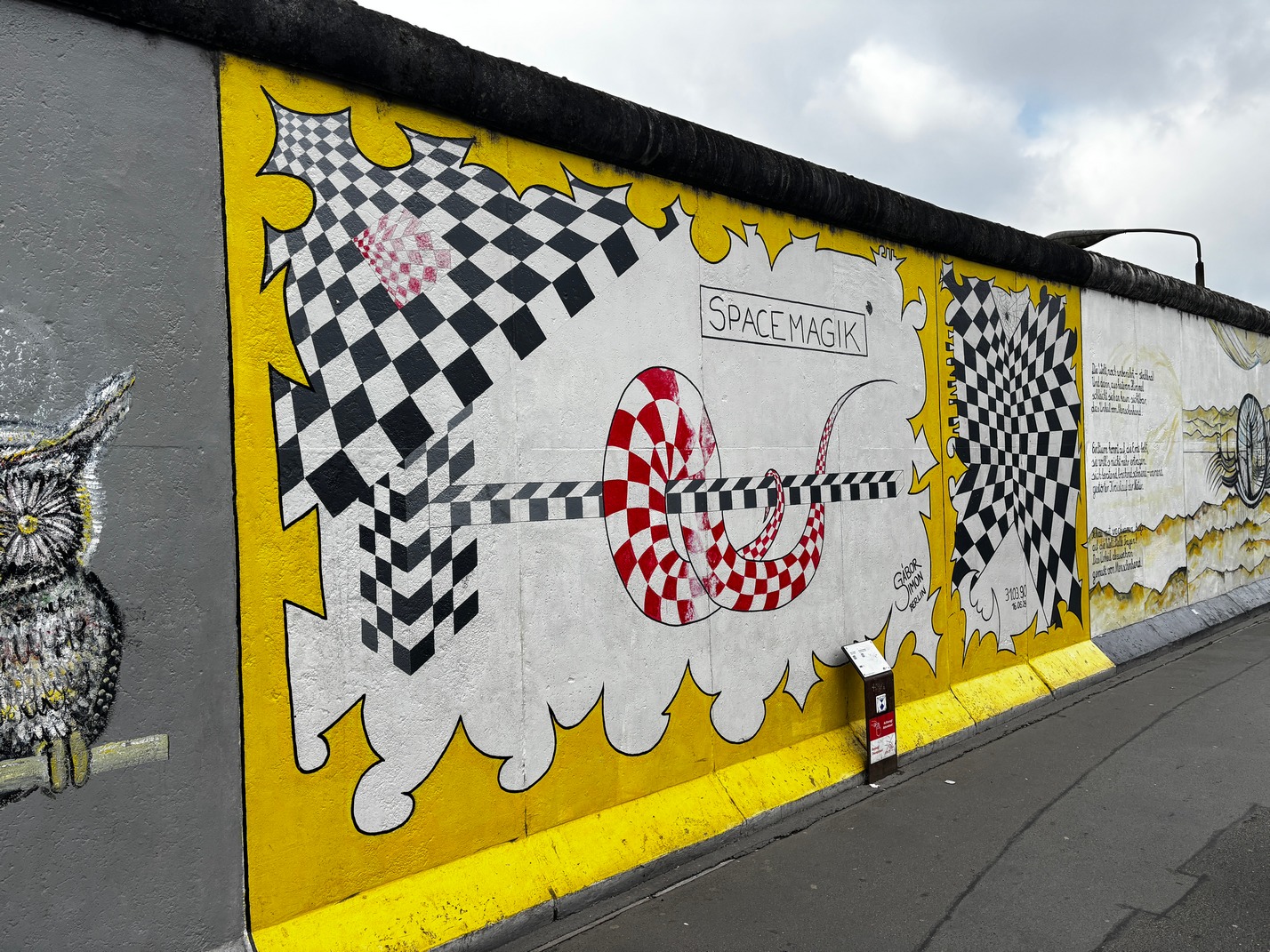
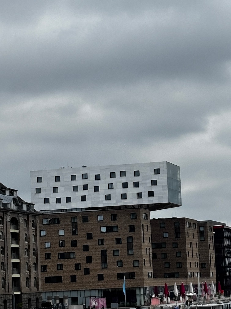
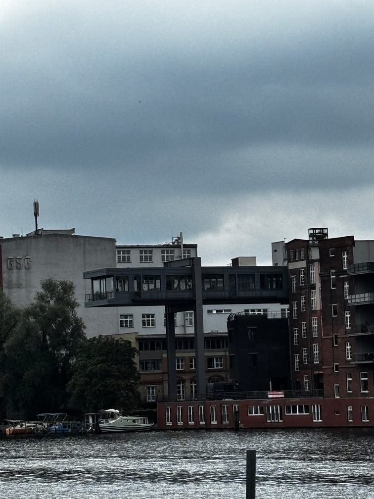
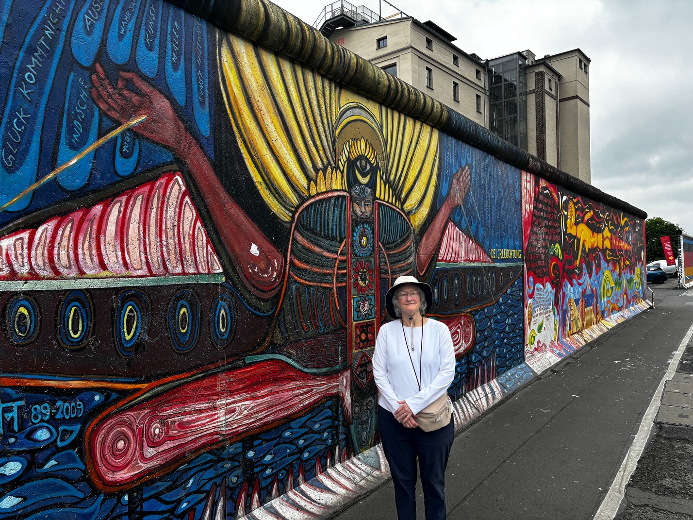
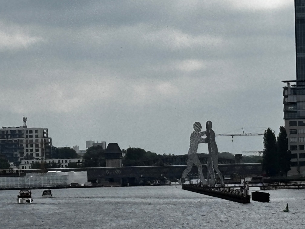
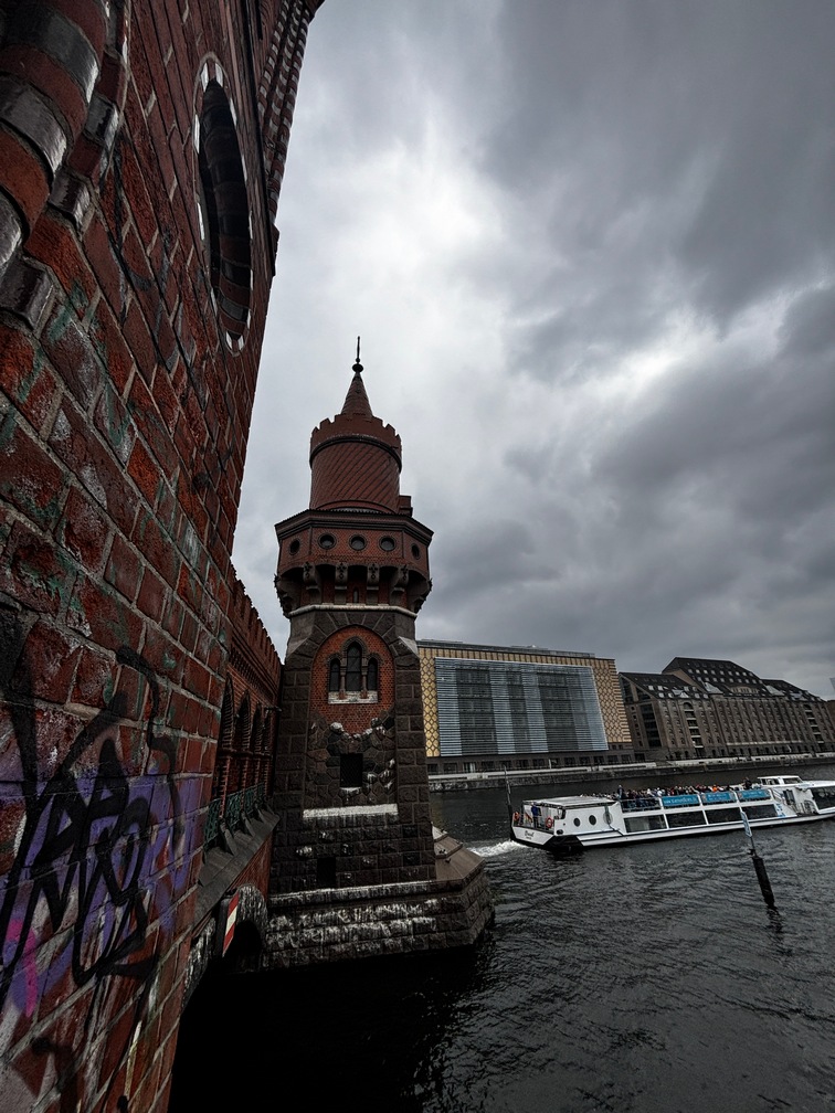
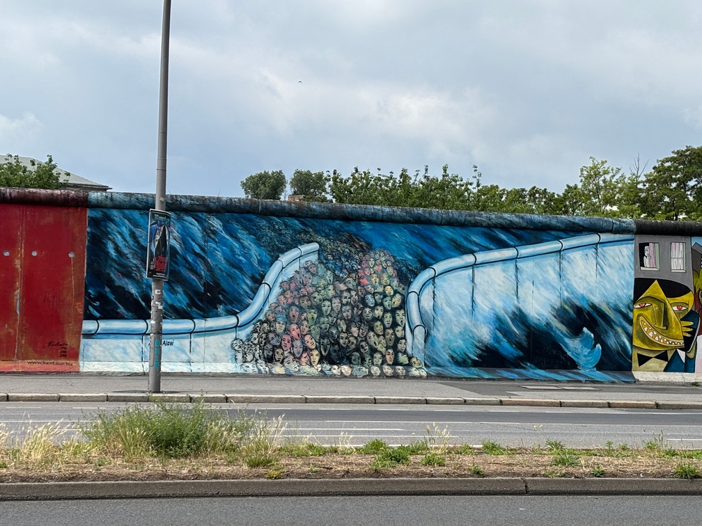
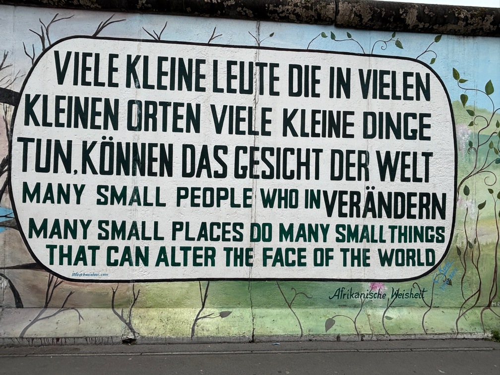
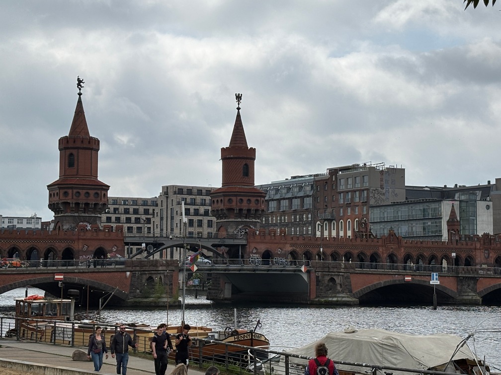
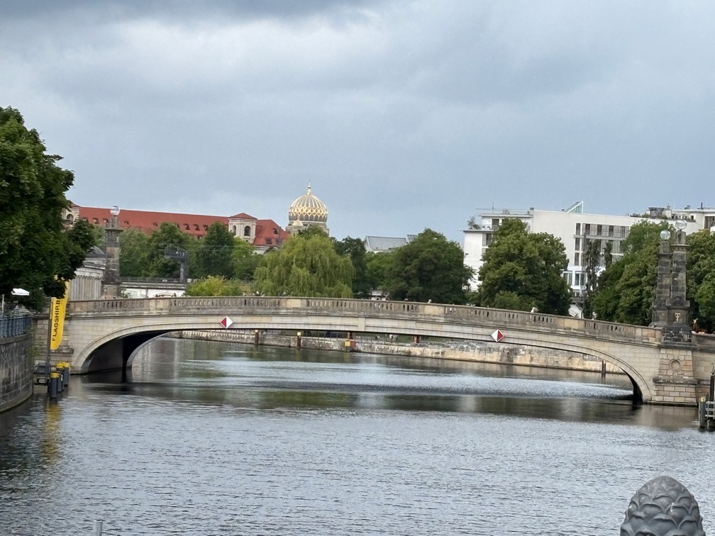
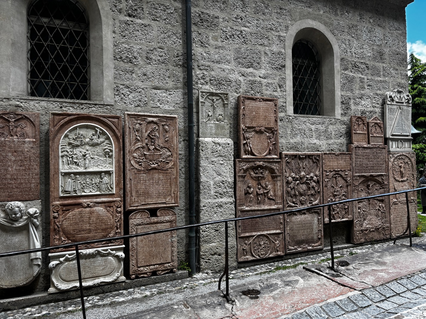
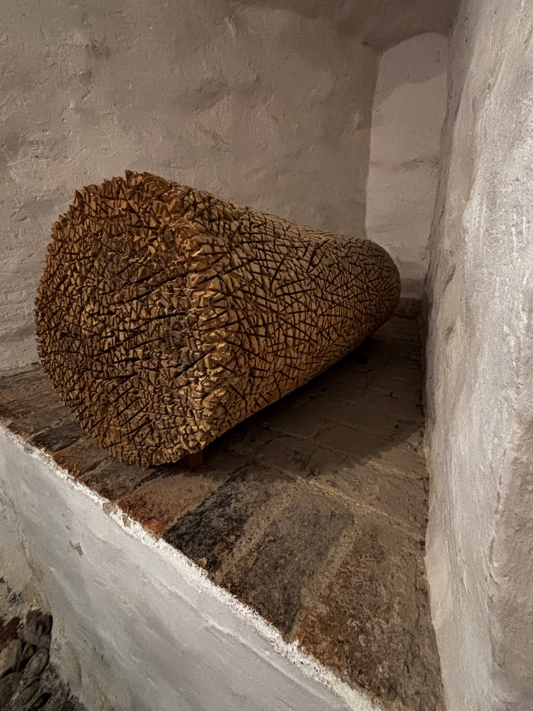
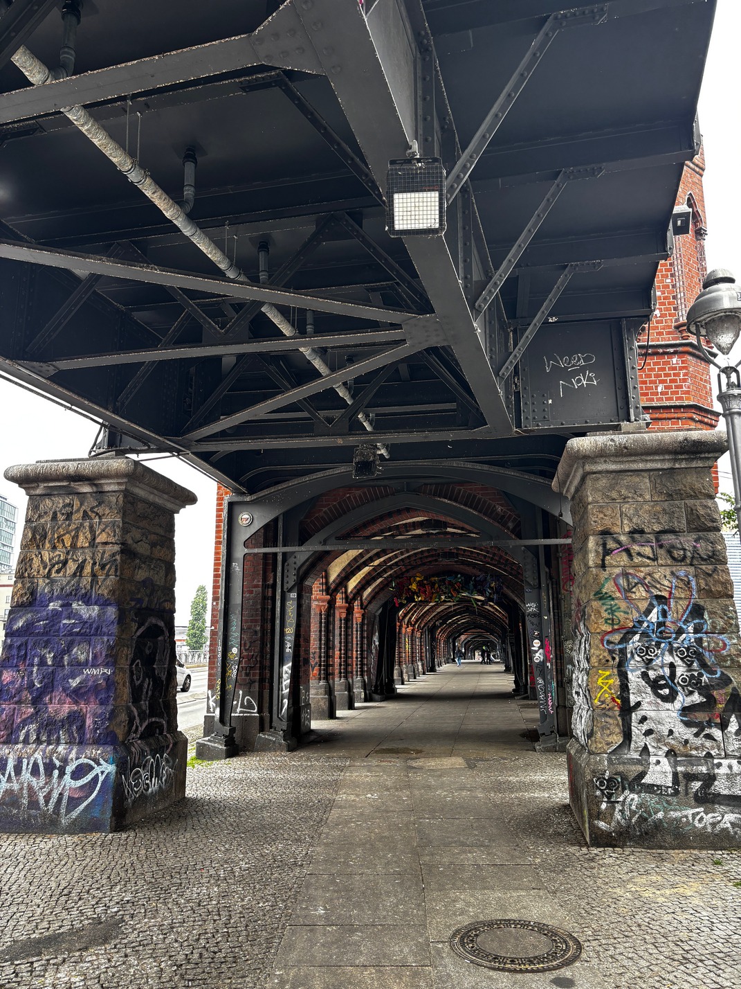 We bused down to a bridge over the Spree river to walk over to what was left of the Berlin wall. Its quite interesting with all the murals that are now painted on it. Its probably a mile long stretch and not all of it is painted on both sides. Enjoy the pictures..
After our stay we headed back to the Berlin Hofbahnhof for a ride to Rostock Germany for the ferry to Denmark. It was going to be a pretty long day.
Enjoy the pics..
![]()

![]()
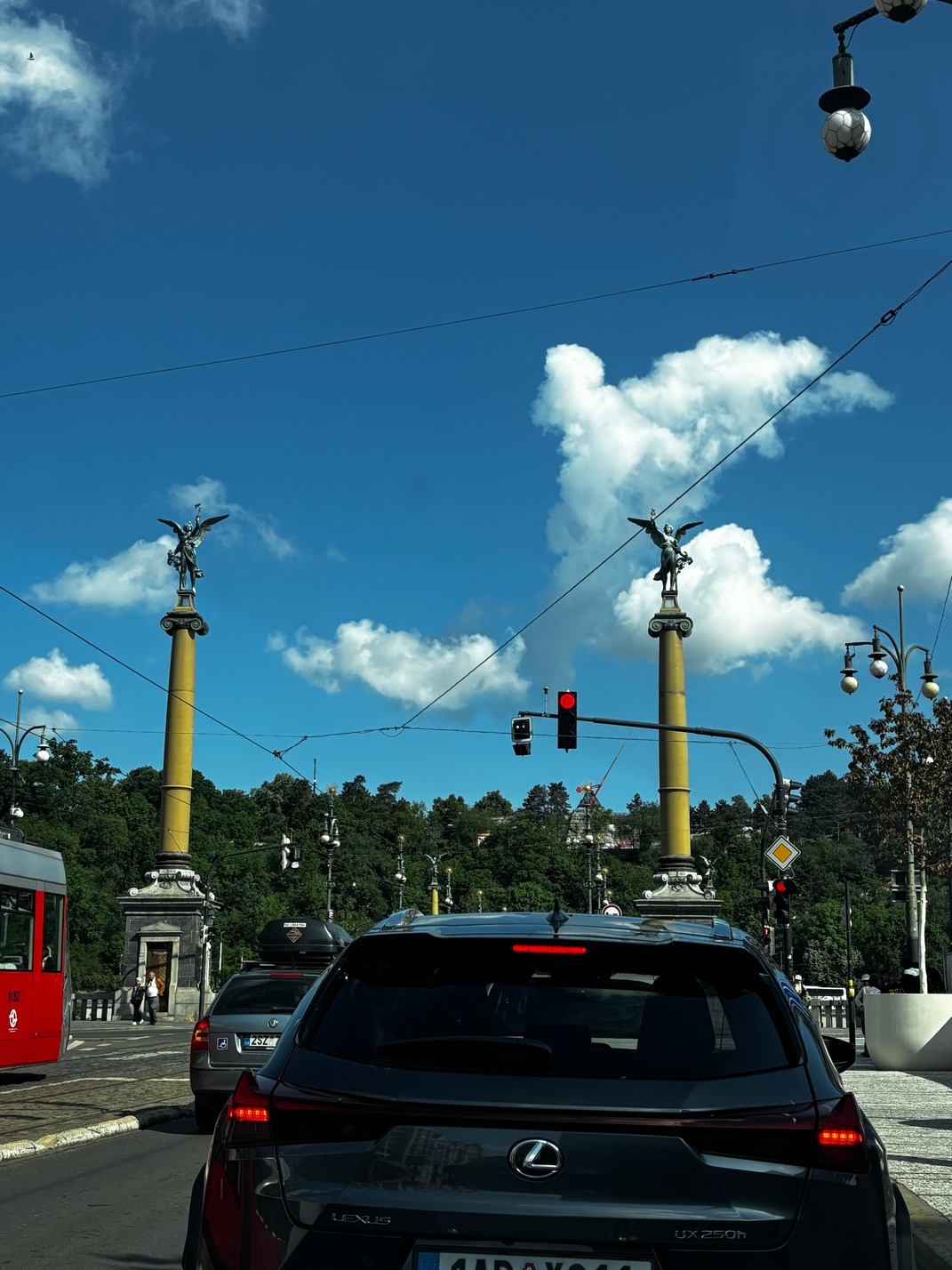
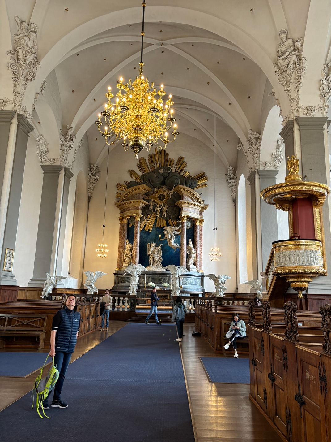
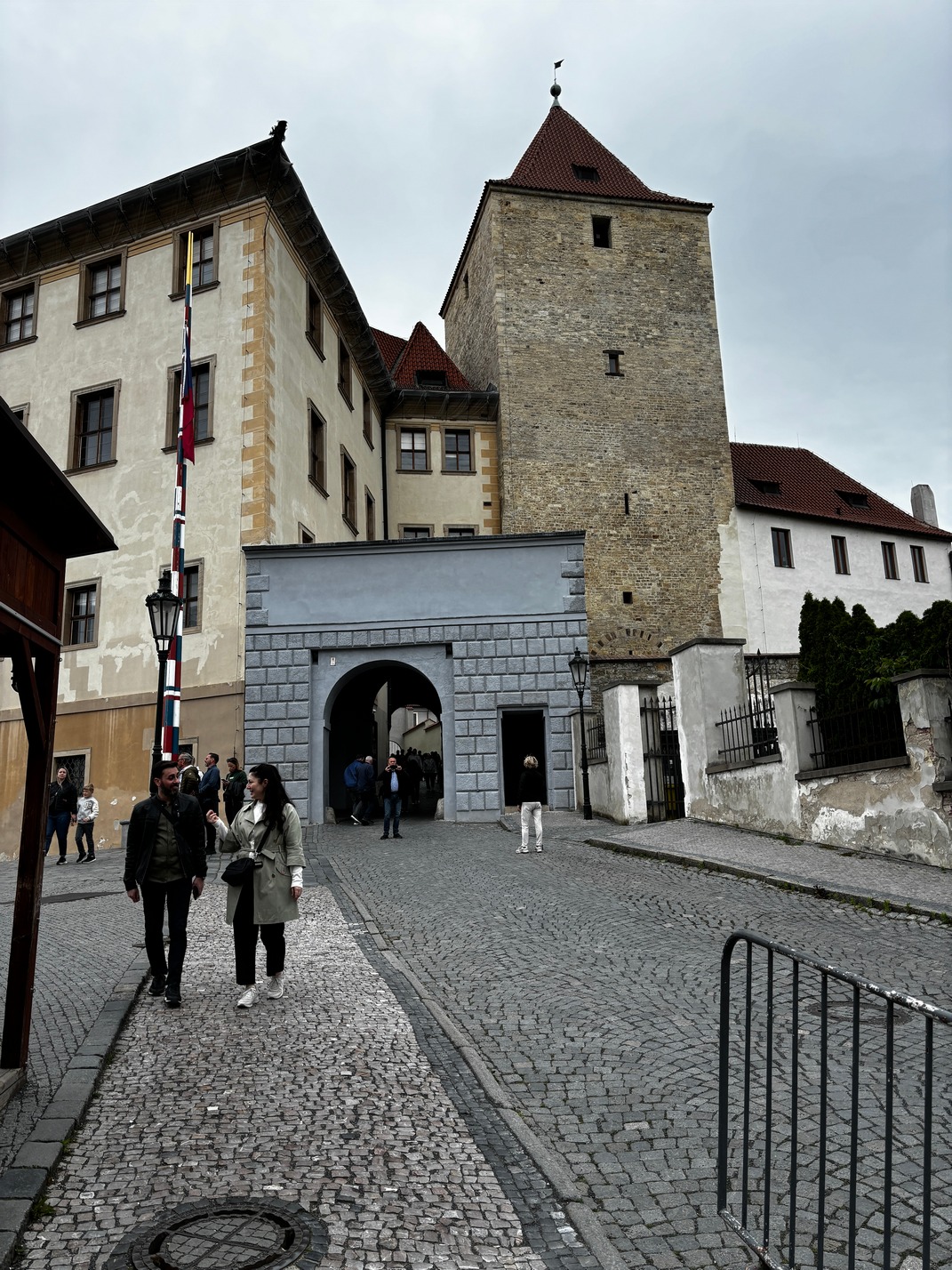
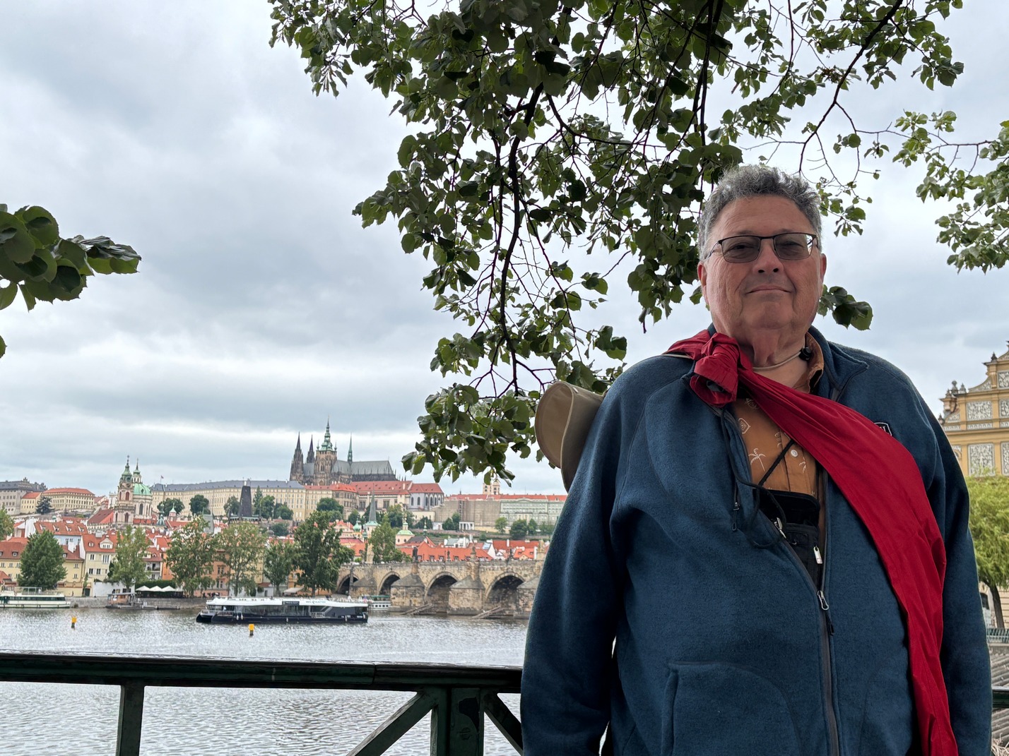
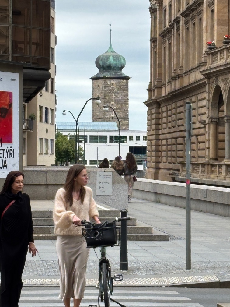
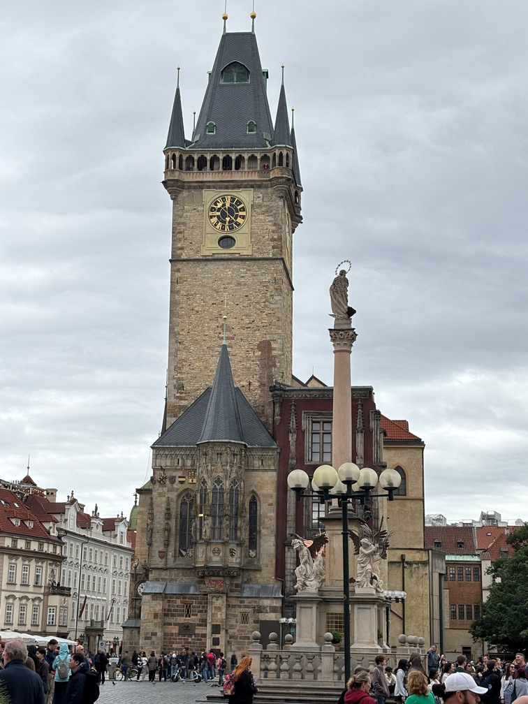
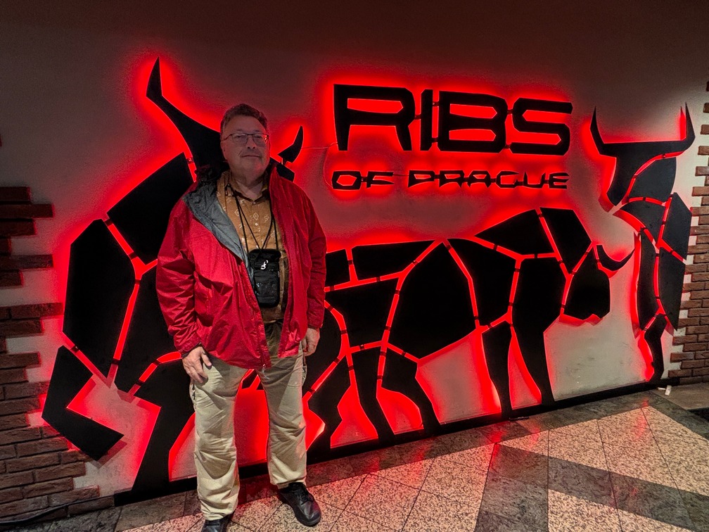
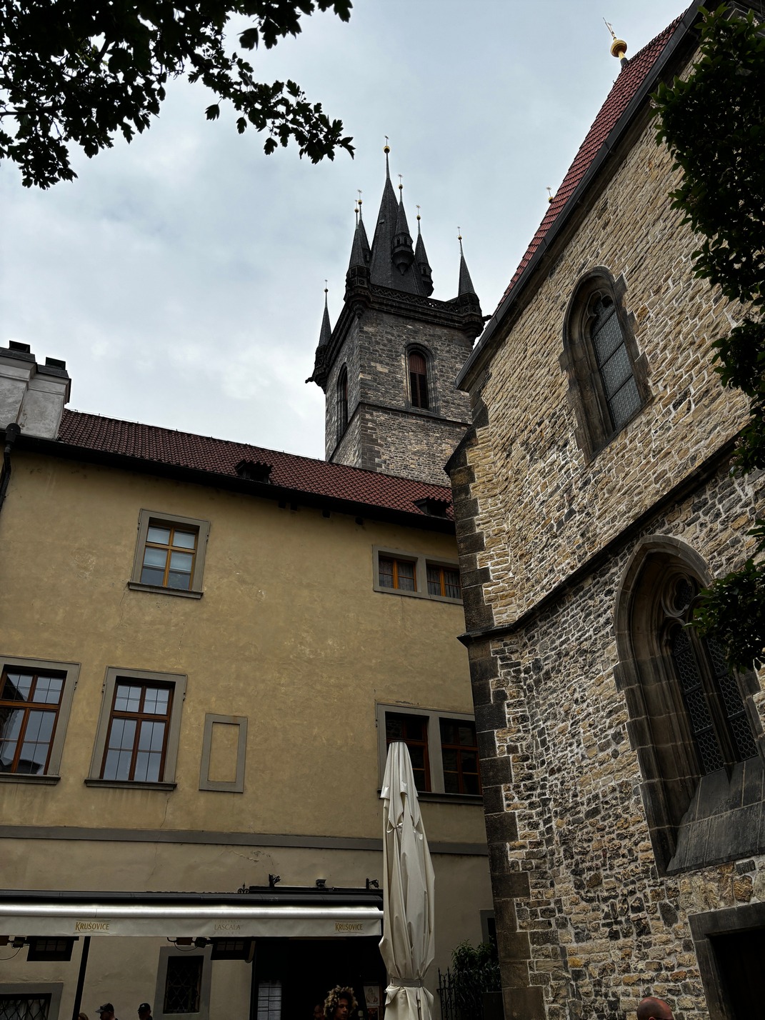
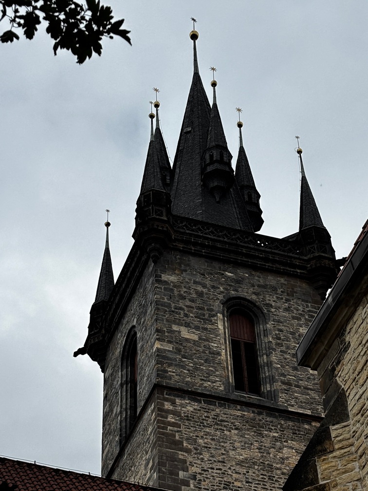
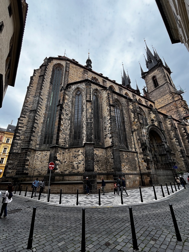
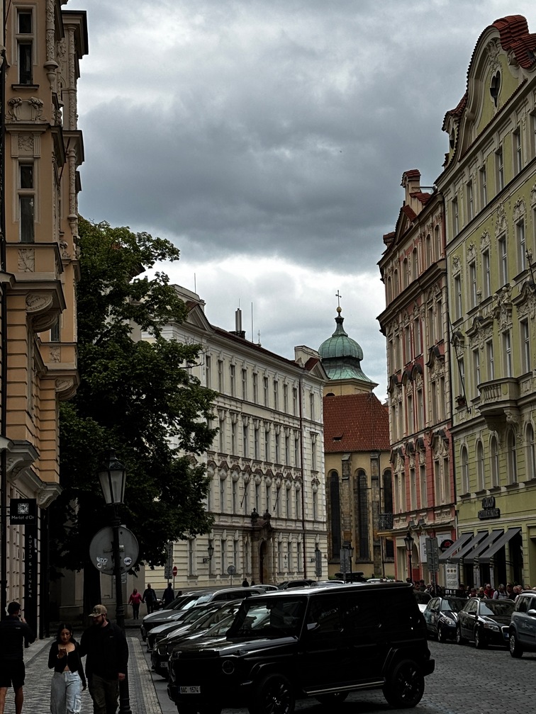
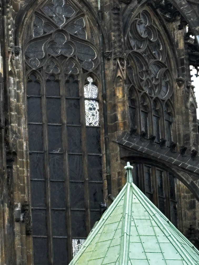
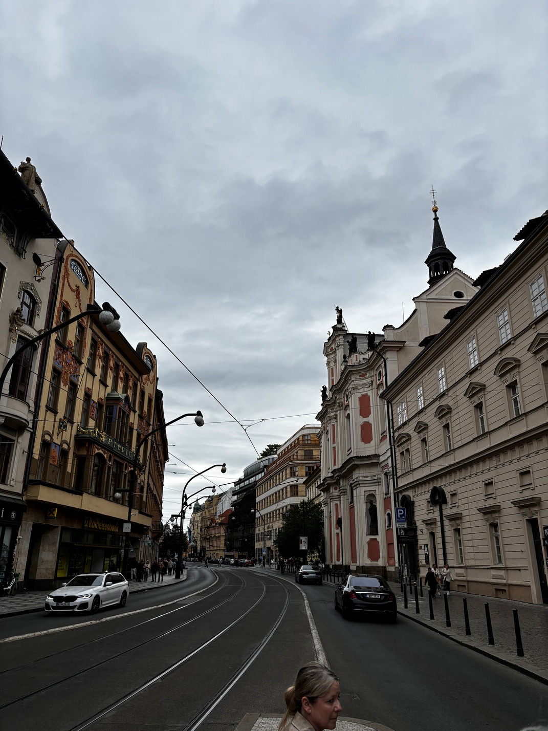
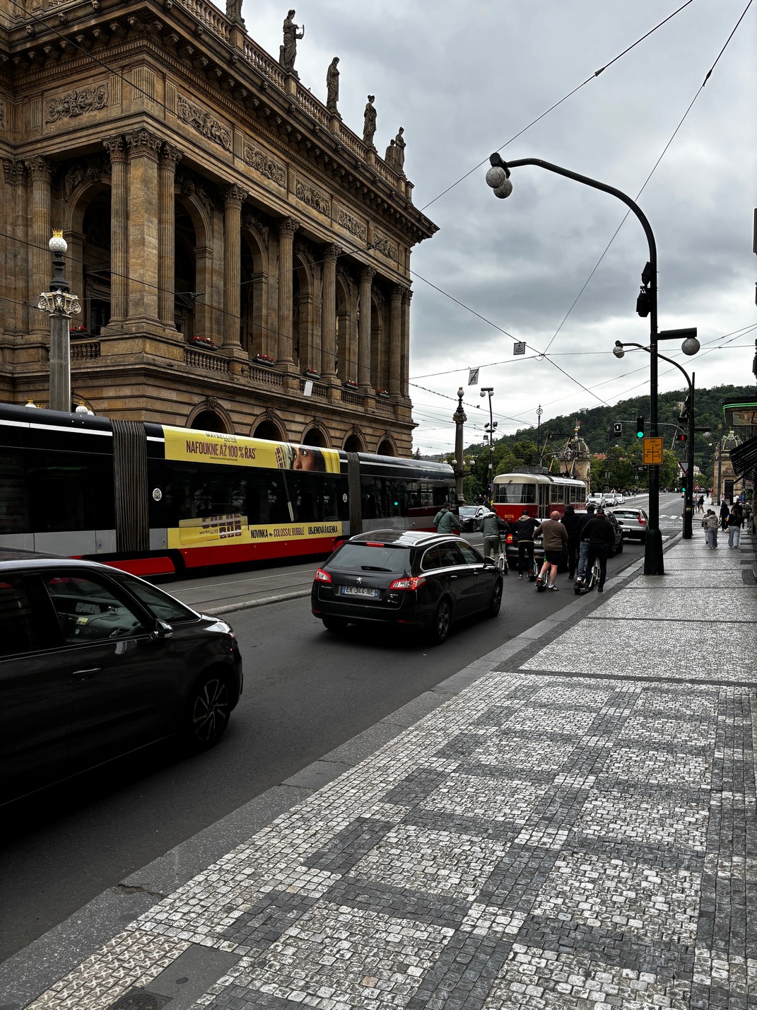
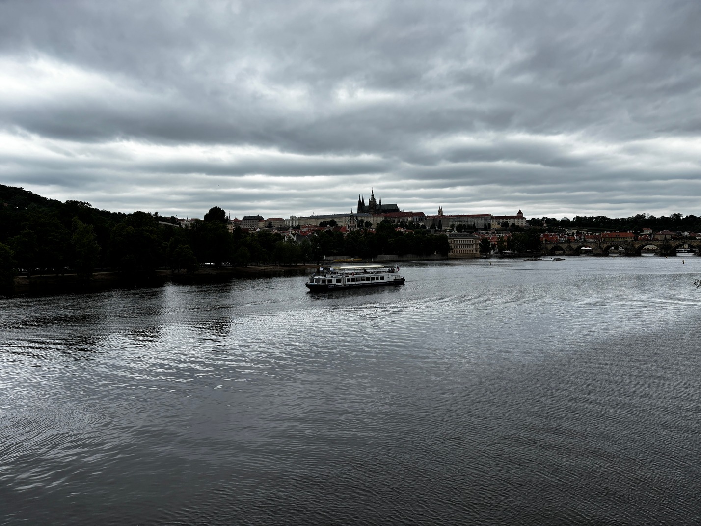
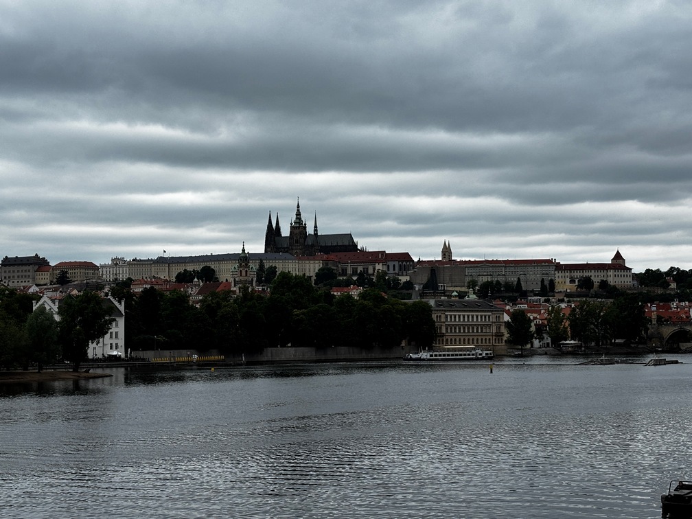
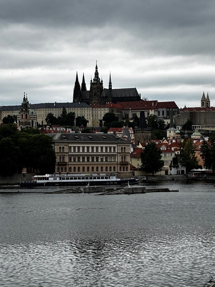
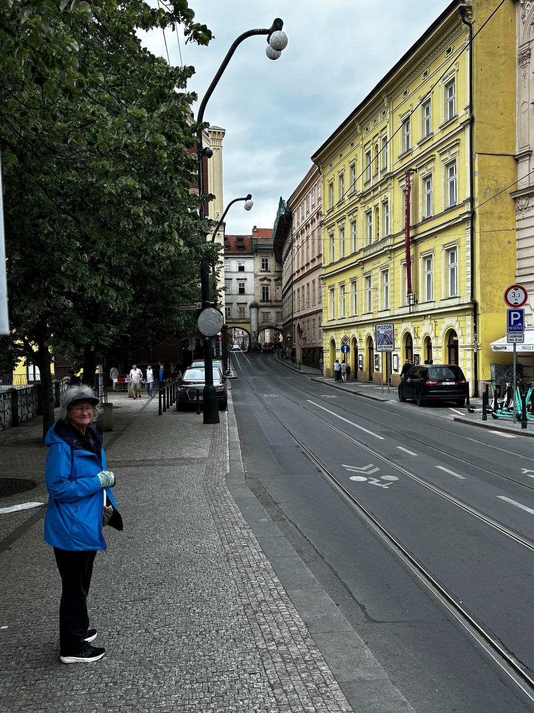
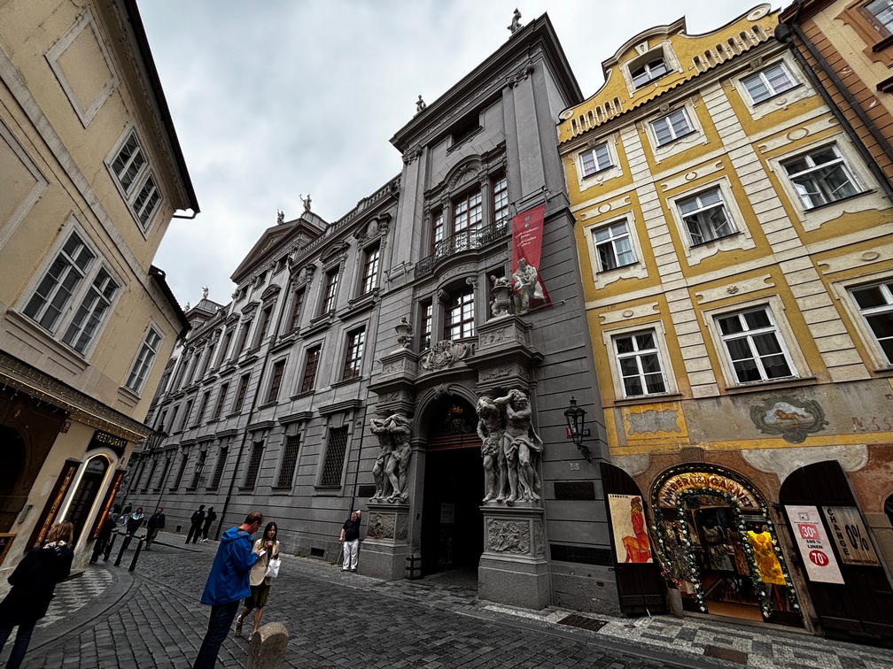
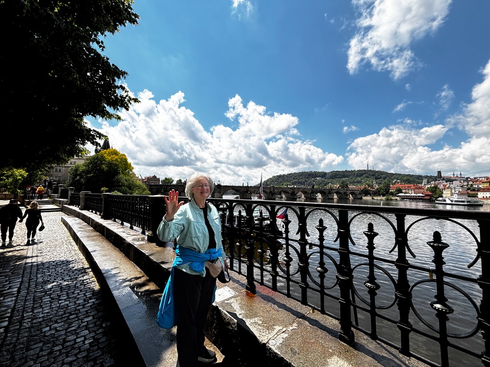
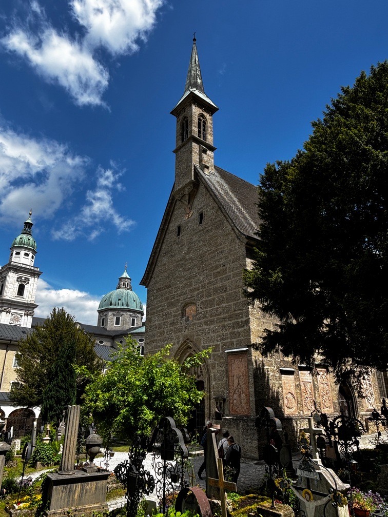
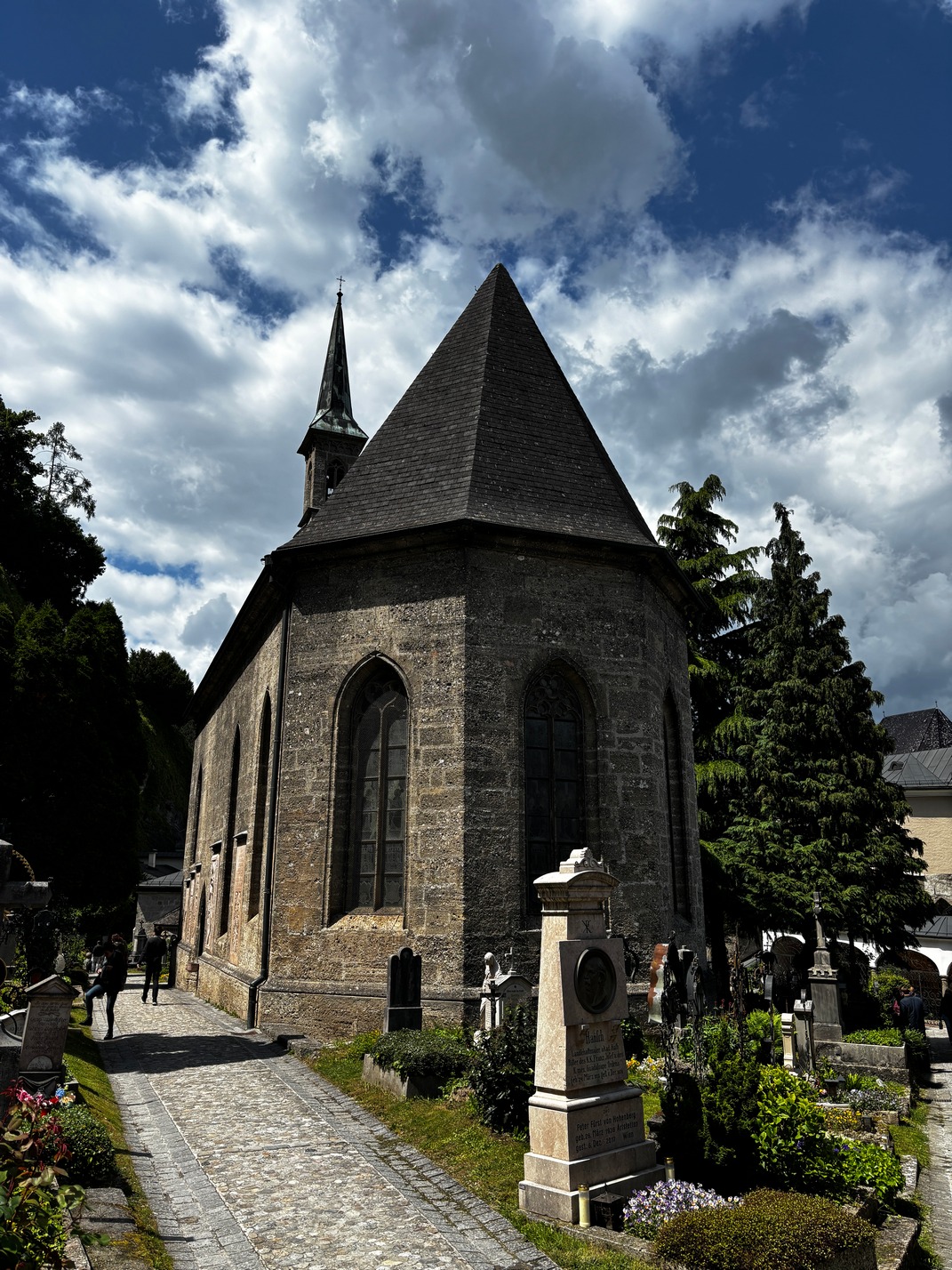
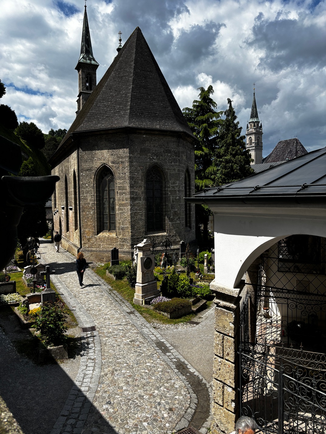
Prague
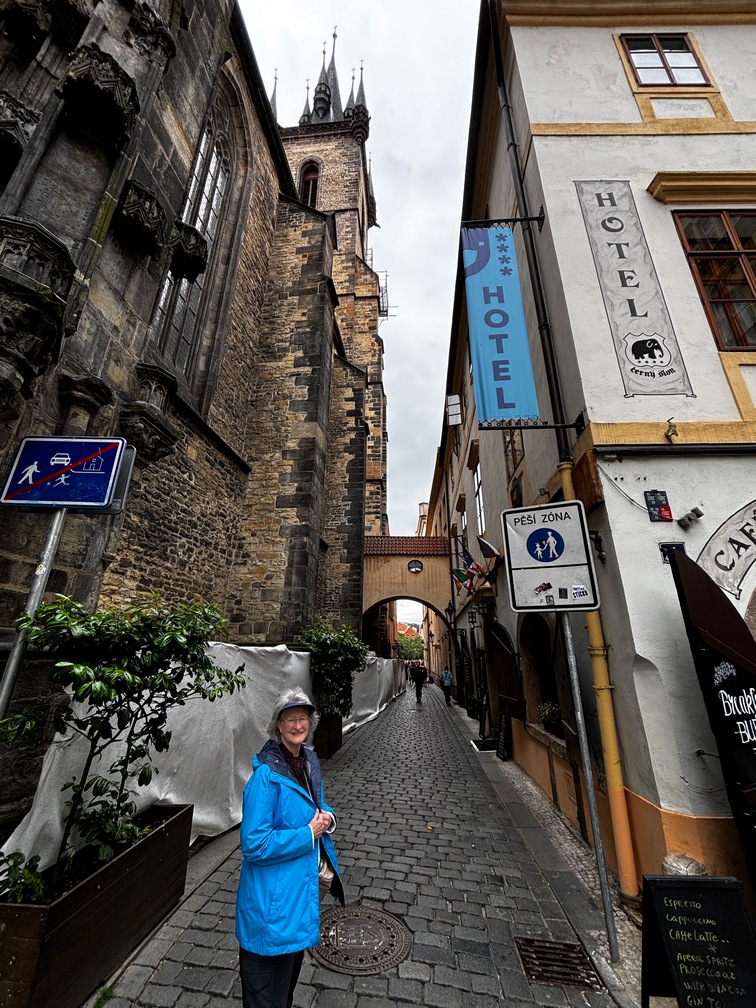
 Arrived after a 5 hour train ride from Munich. Ubered to the apartment. In the old town of Prague, the walking section again. We managed to get into it without any issues. Made a quick walk after unpacking some things, over to Fat Cat Old Town for burgers, Quesadilla and a flat bread pizza.
Walked back home and set out for a couple grocery stores to pickup some food for the next few nights.
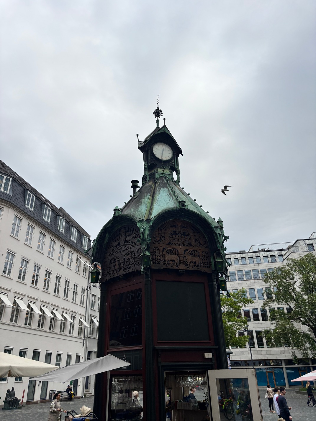
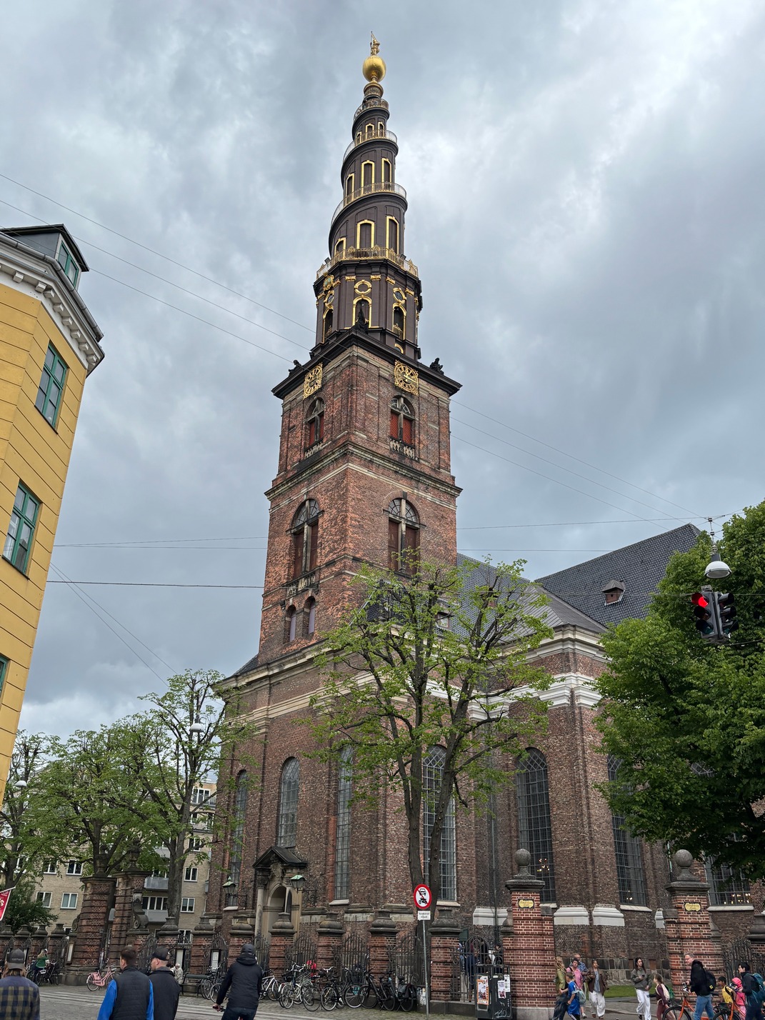
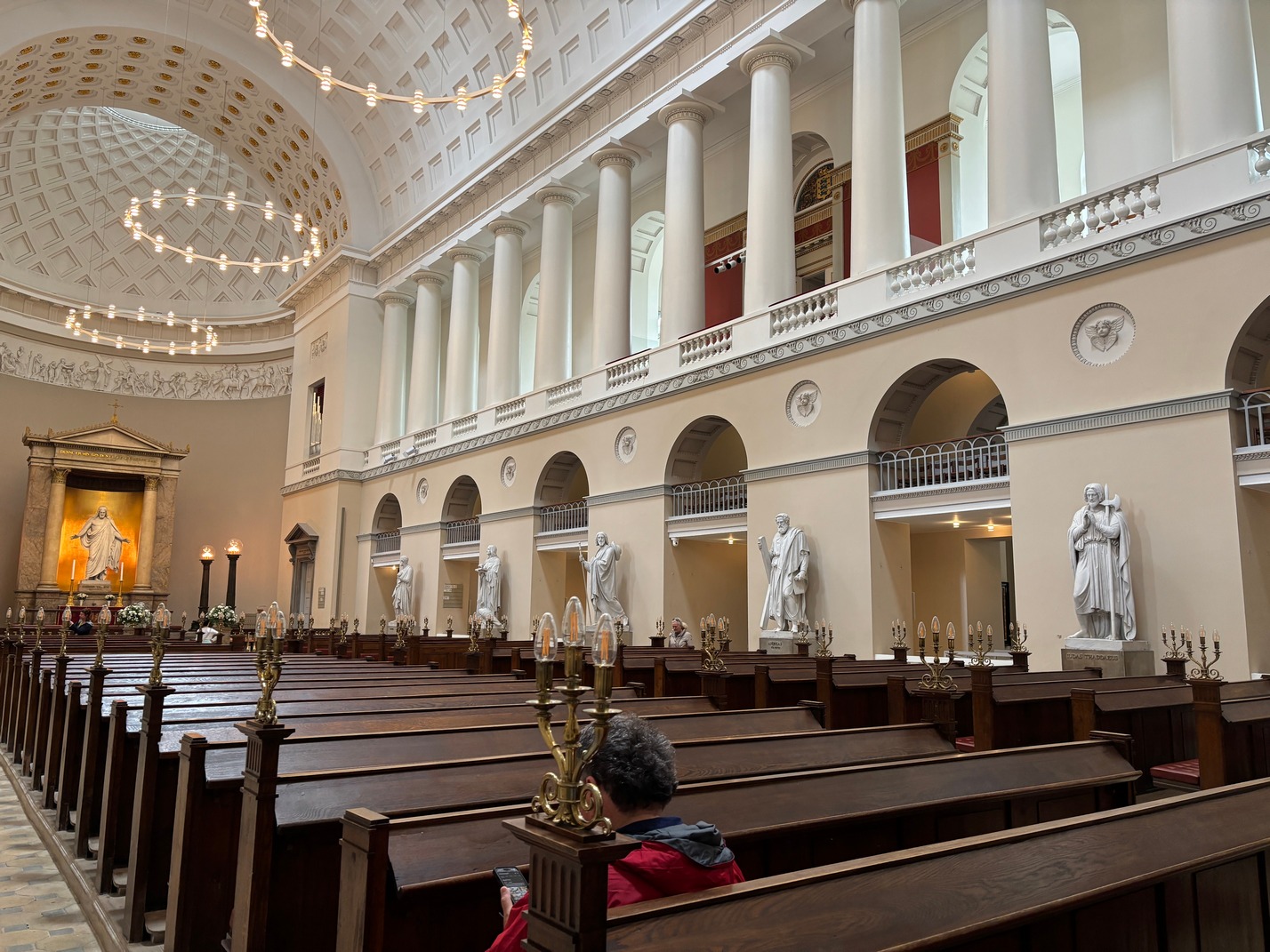
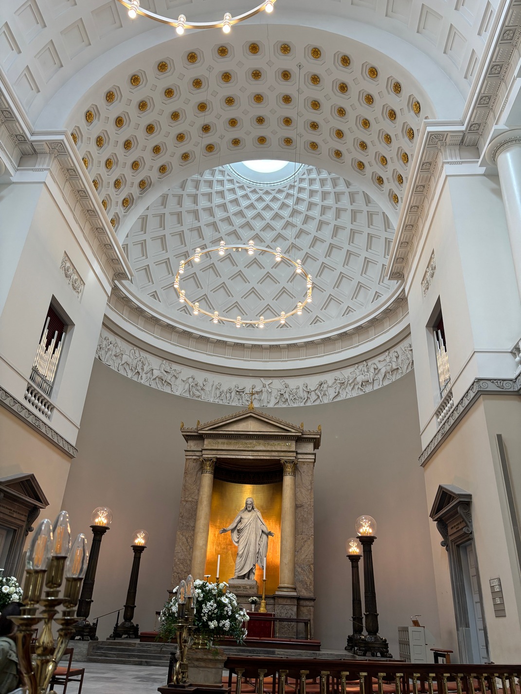
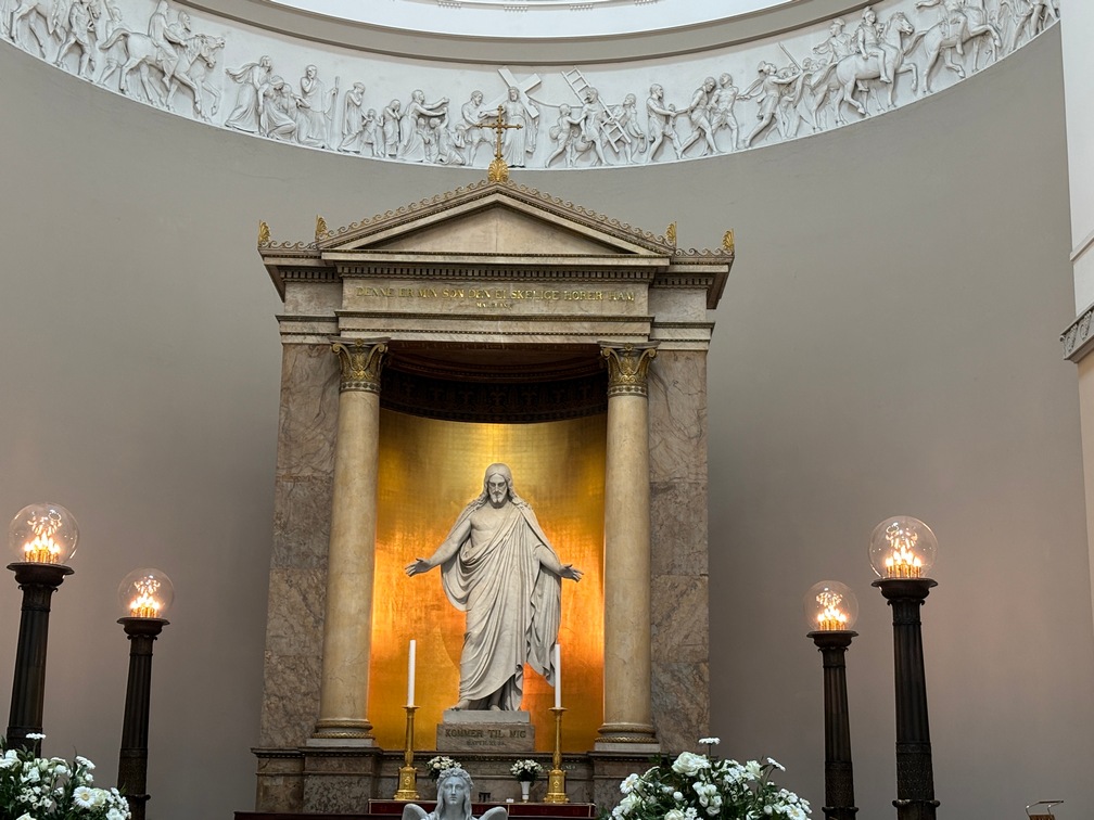
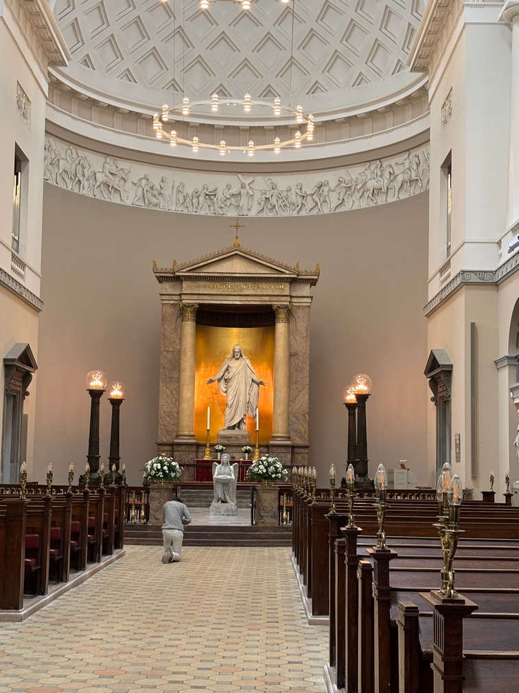
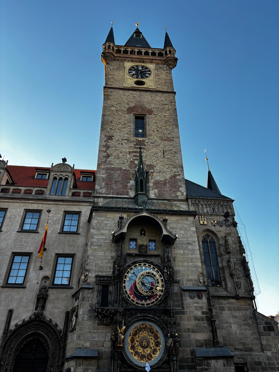
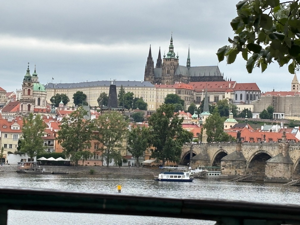
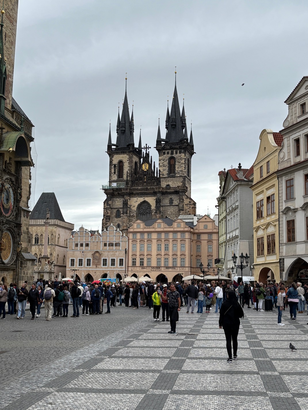
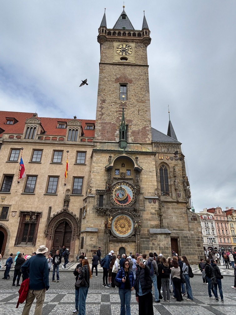
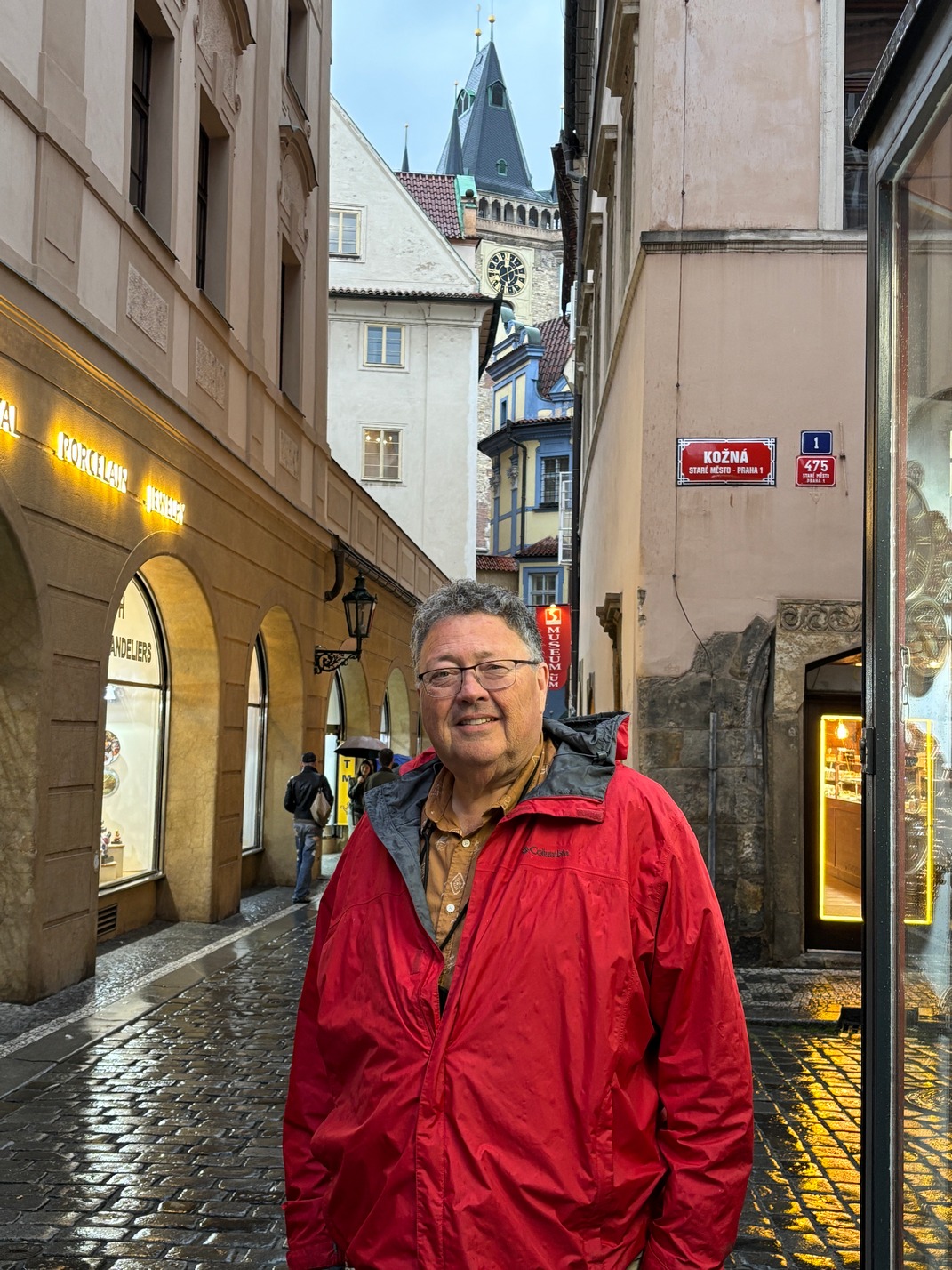
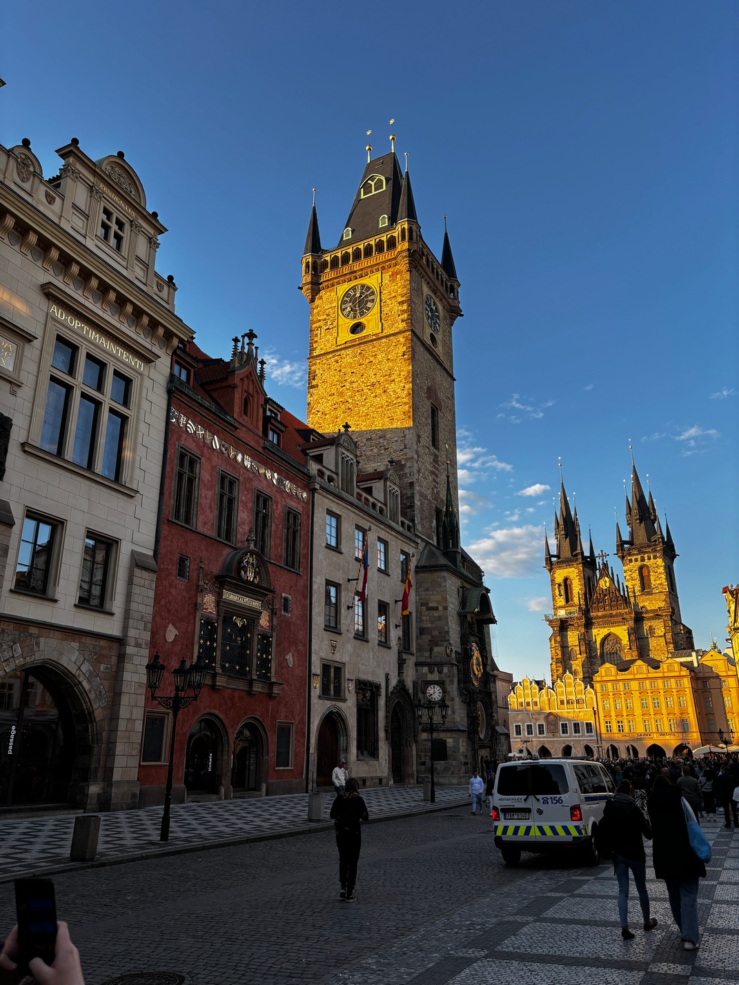
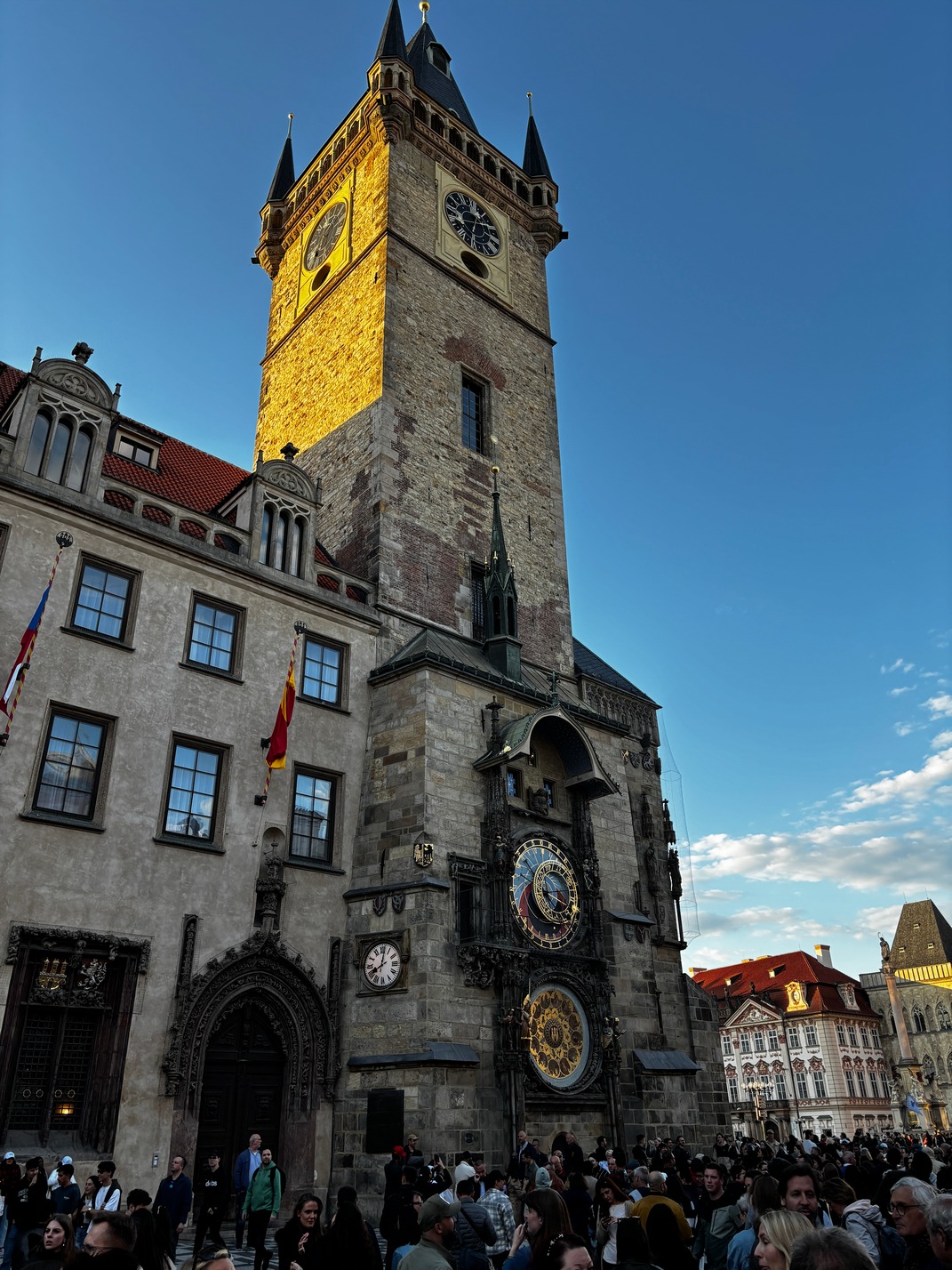
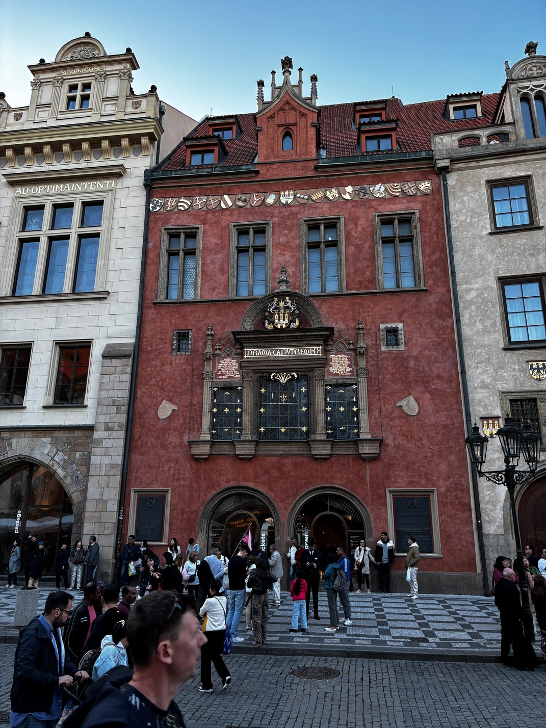
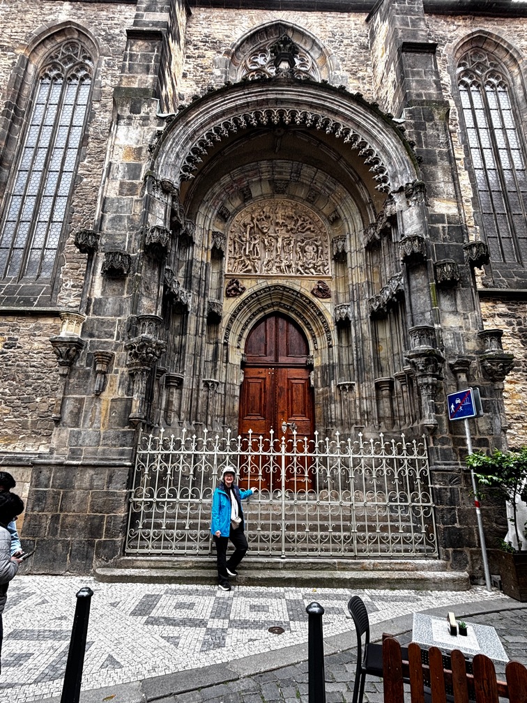
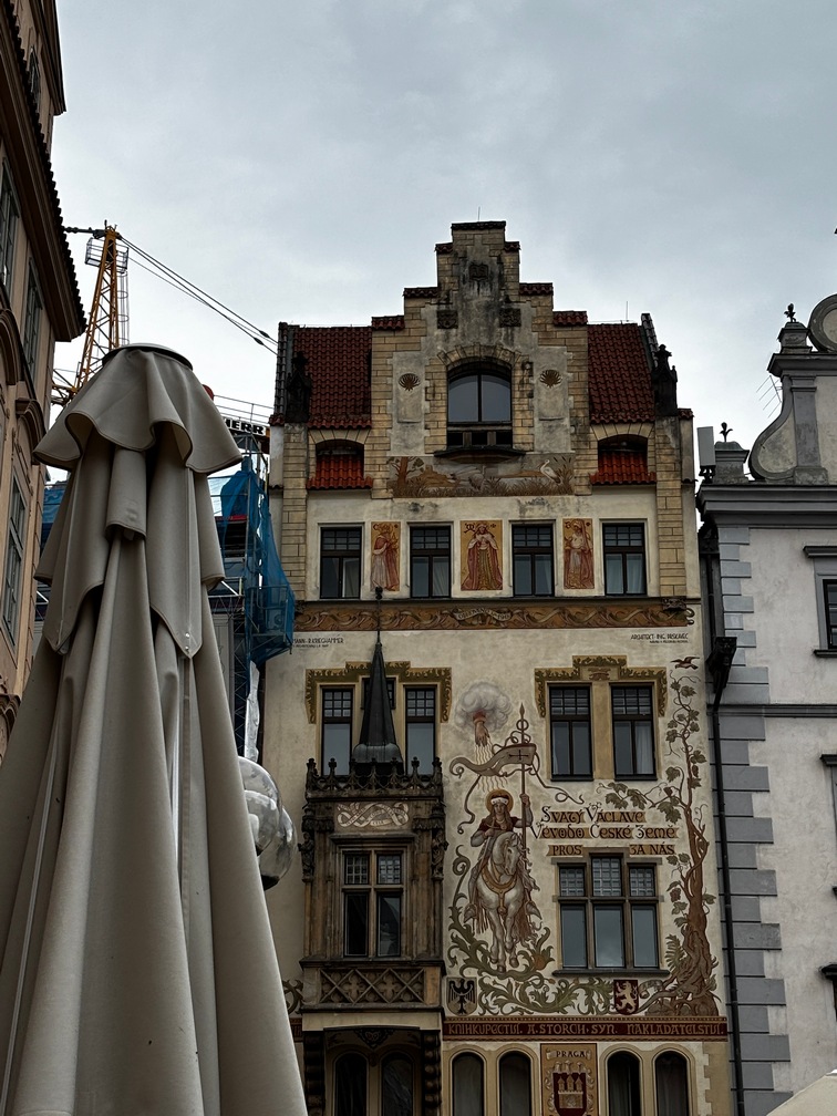
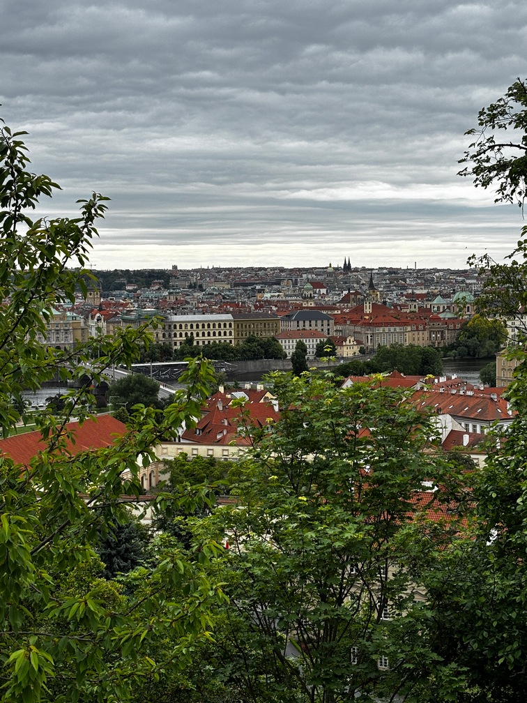
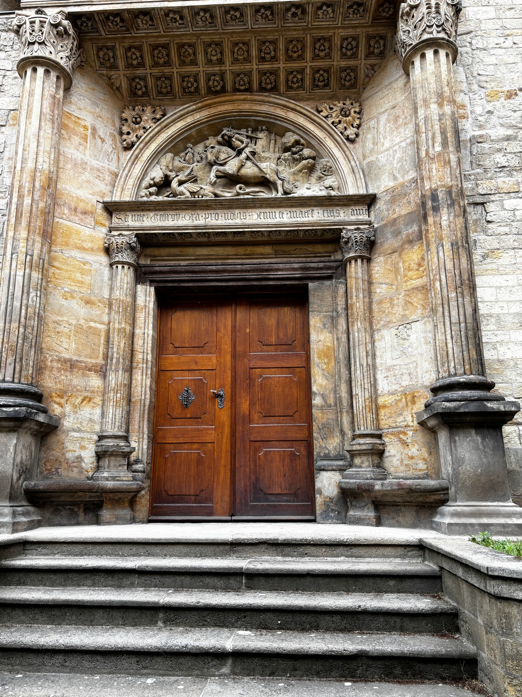
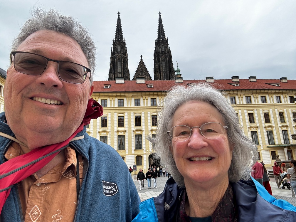
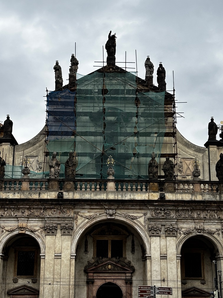
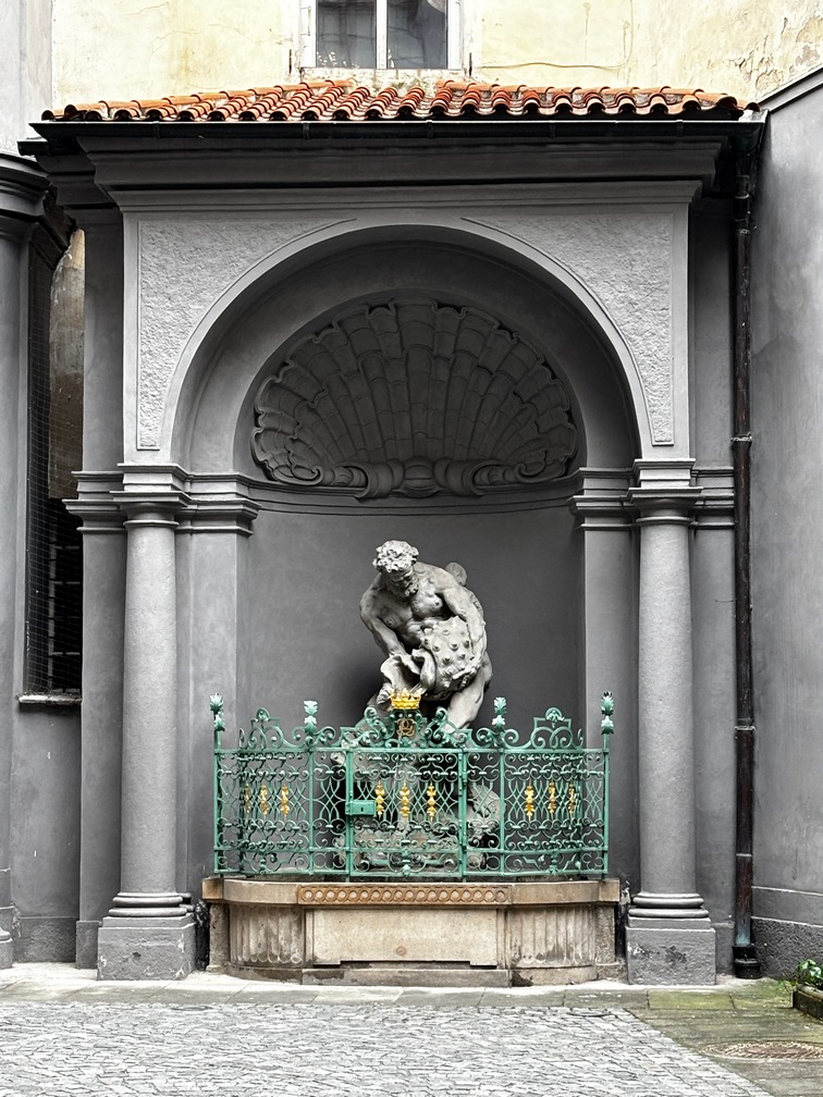
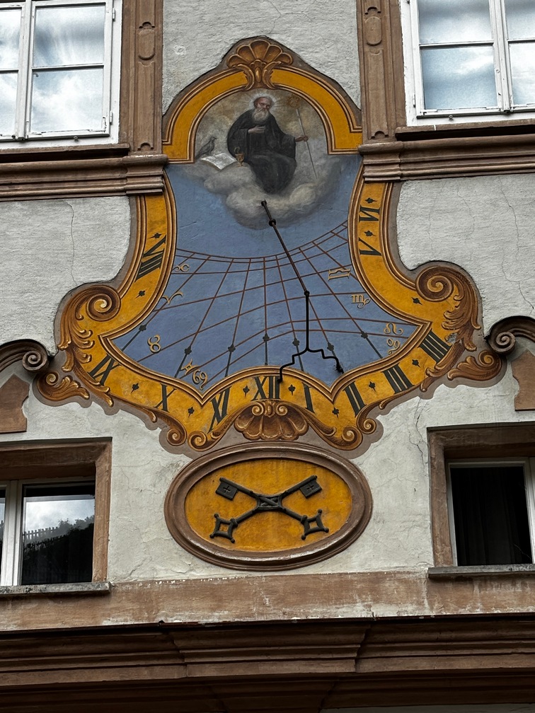
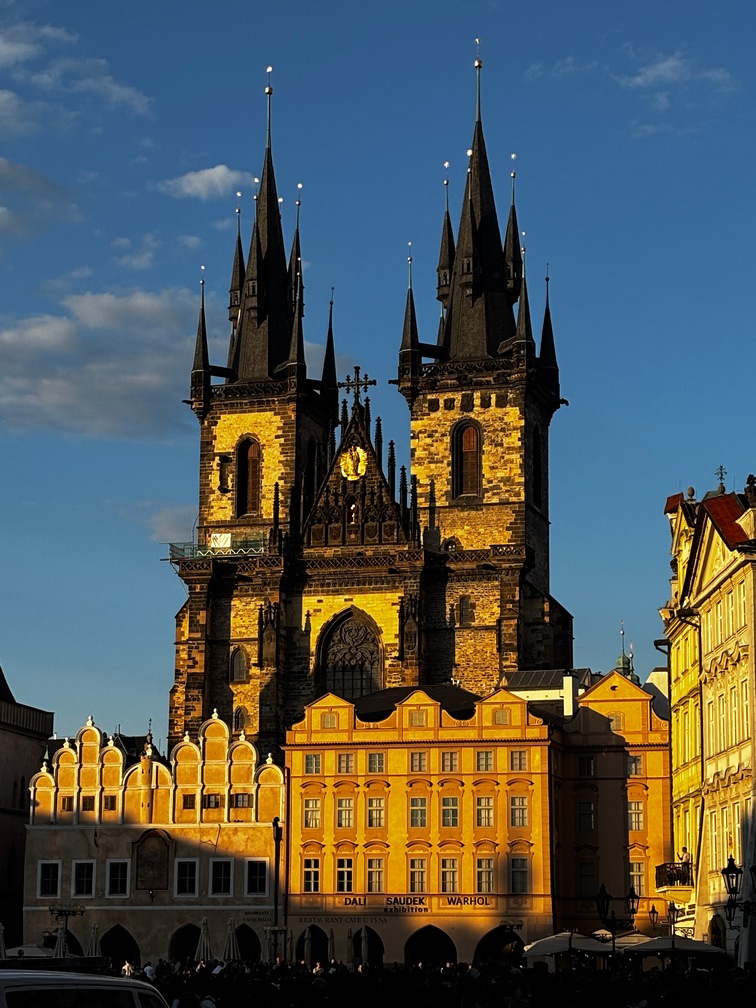 After a bit of relaxing I headed out to the old town square to take a few pics of the Celestial Clock and the high steeple church across from it while the sun was shining on the
 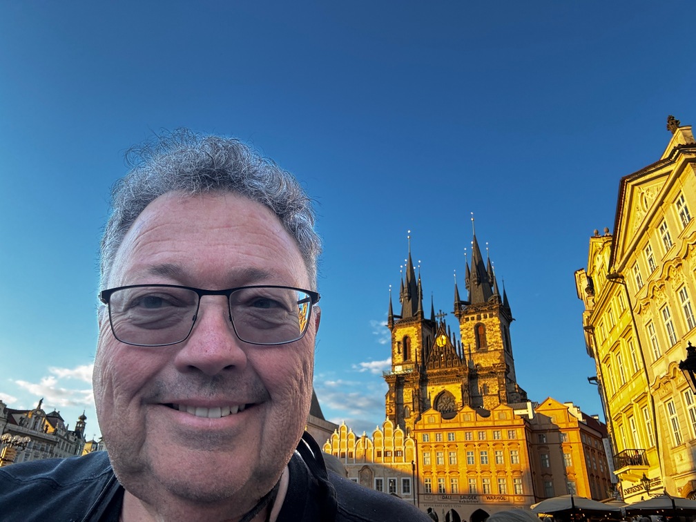 western parts of the buildings.
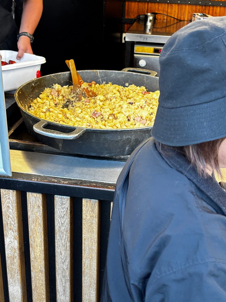
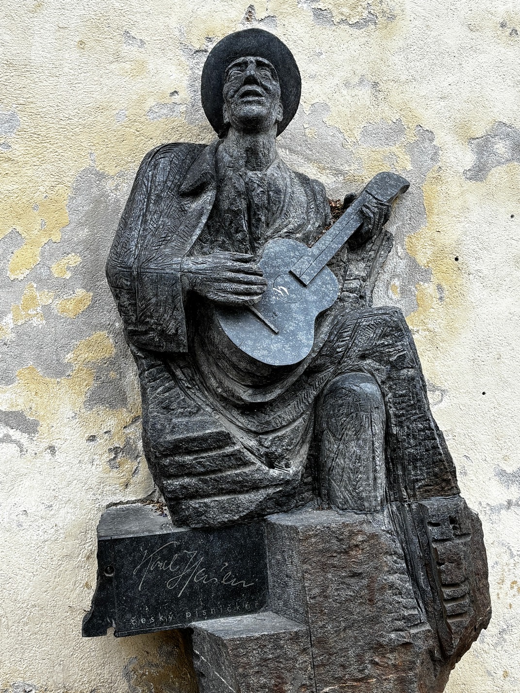
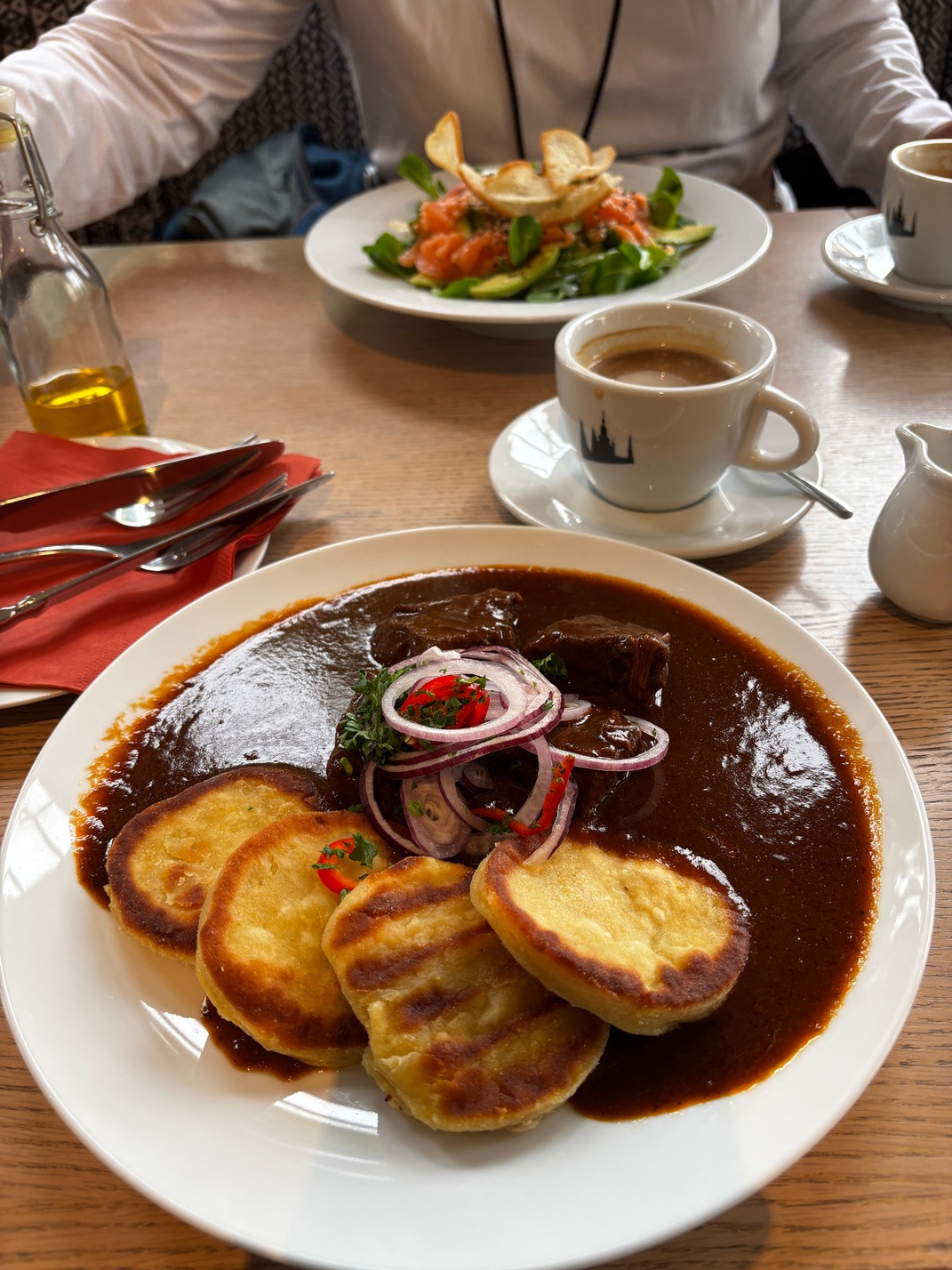
While there I saw a small booth selling some good looking street food so I headed over. Got a small order of Hulu$ky and Old Prague Ham, Both were delicious. They had Klobasa but it looked more like a big Hebrew National hot dog than Kielbasa I’ve had in the US.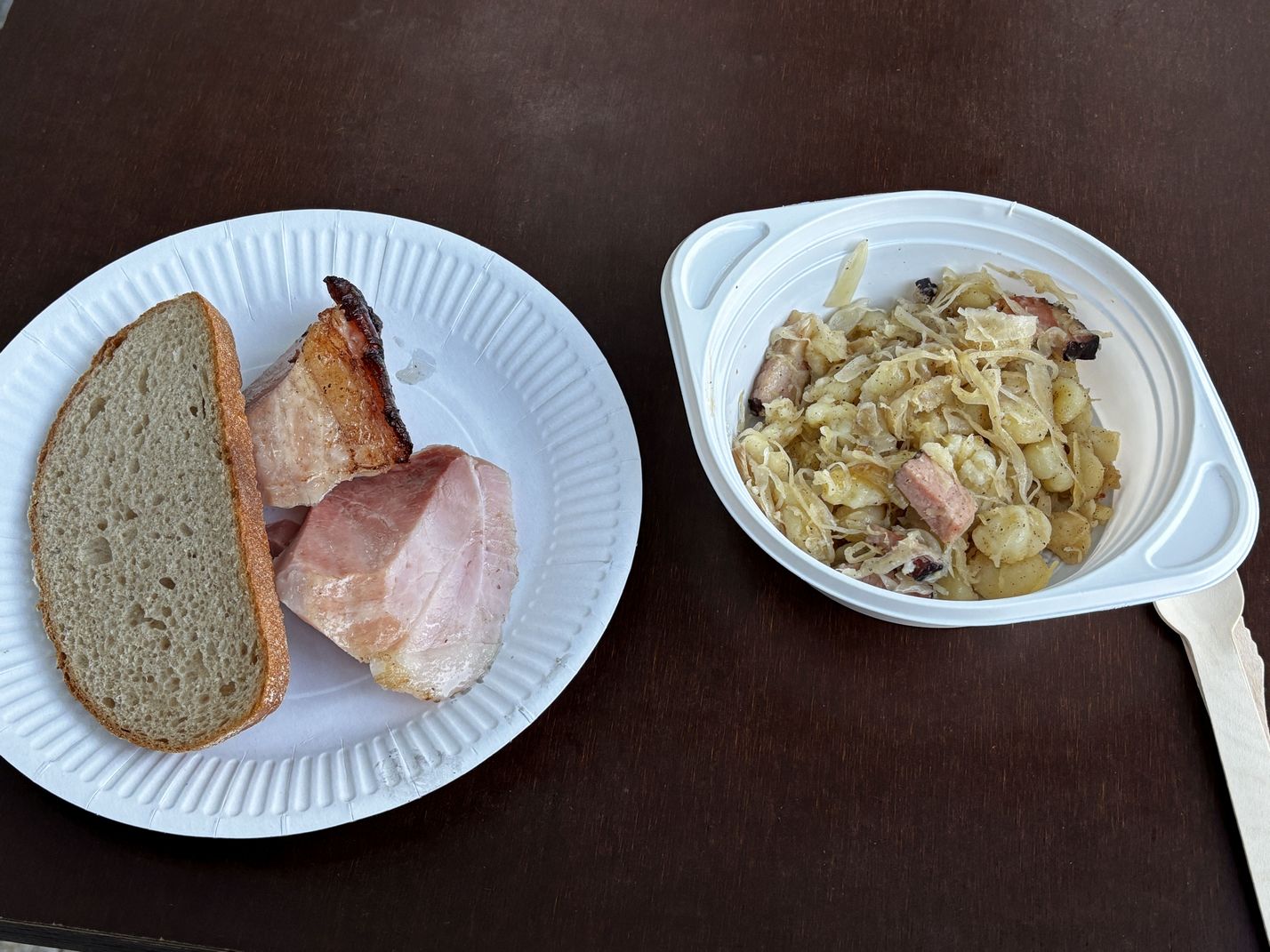
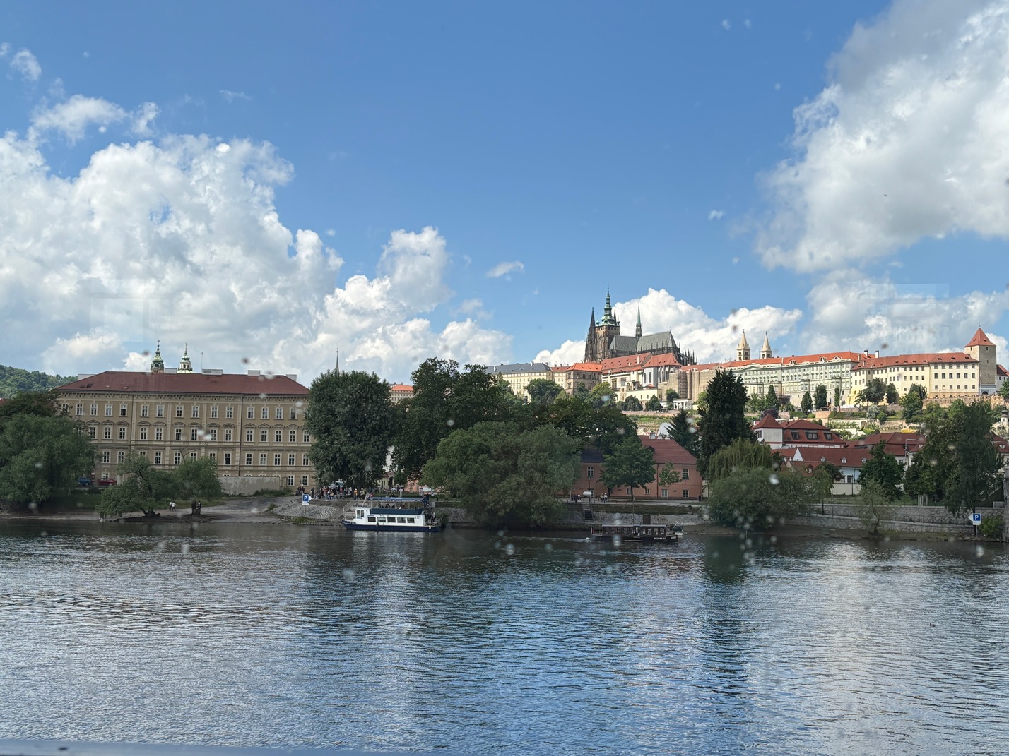
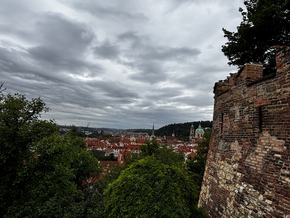
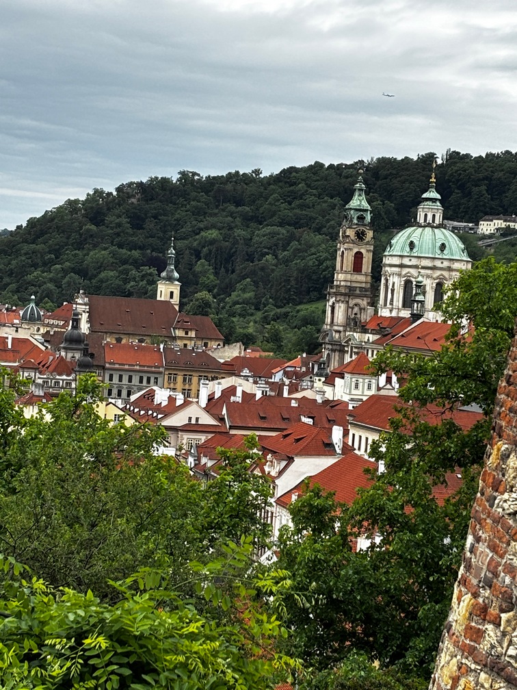
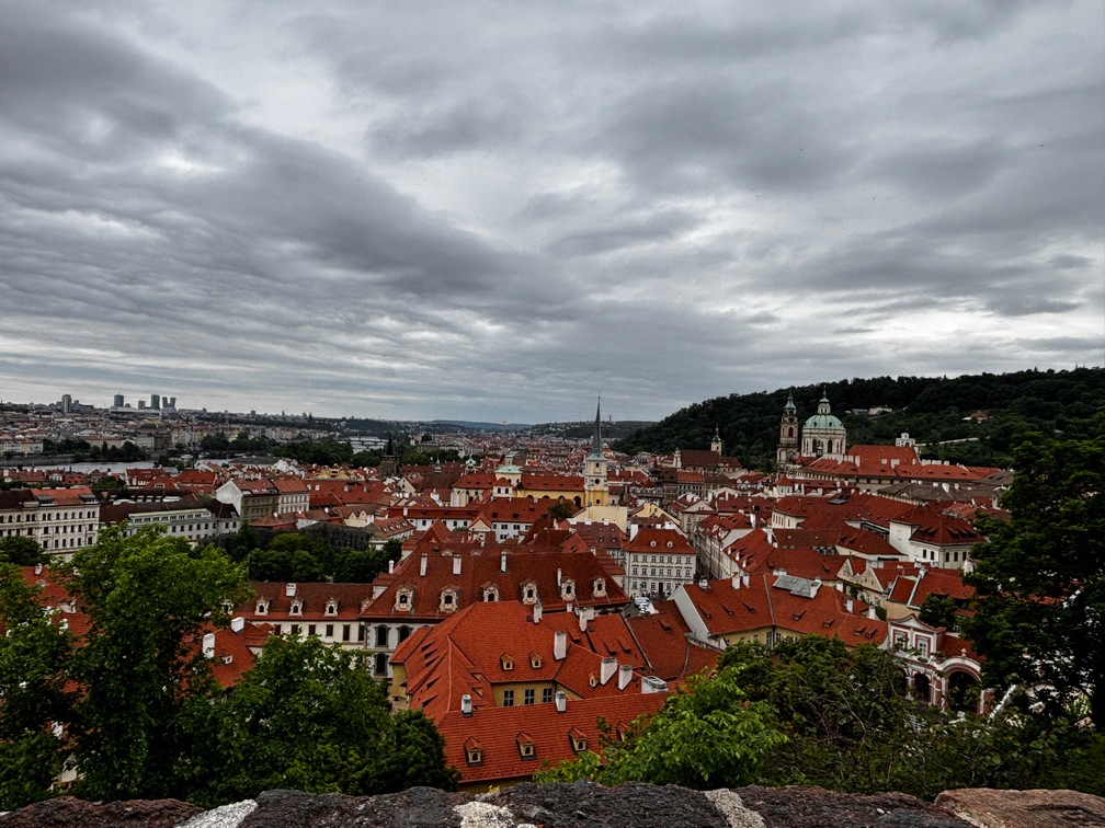
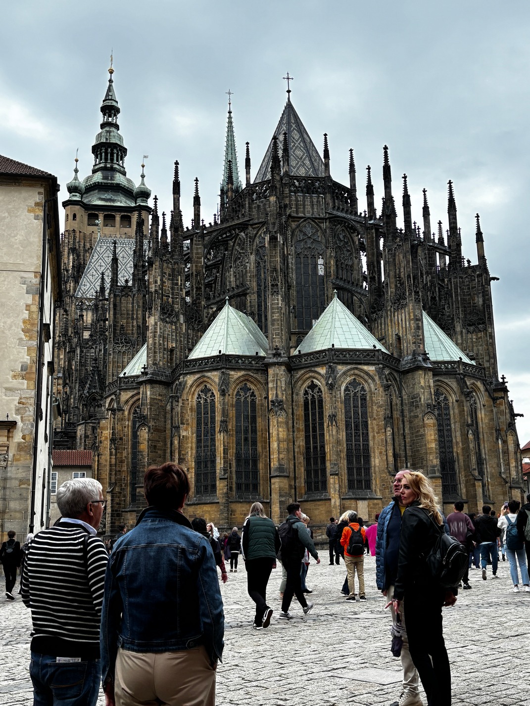
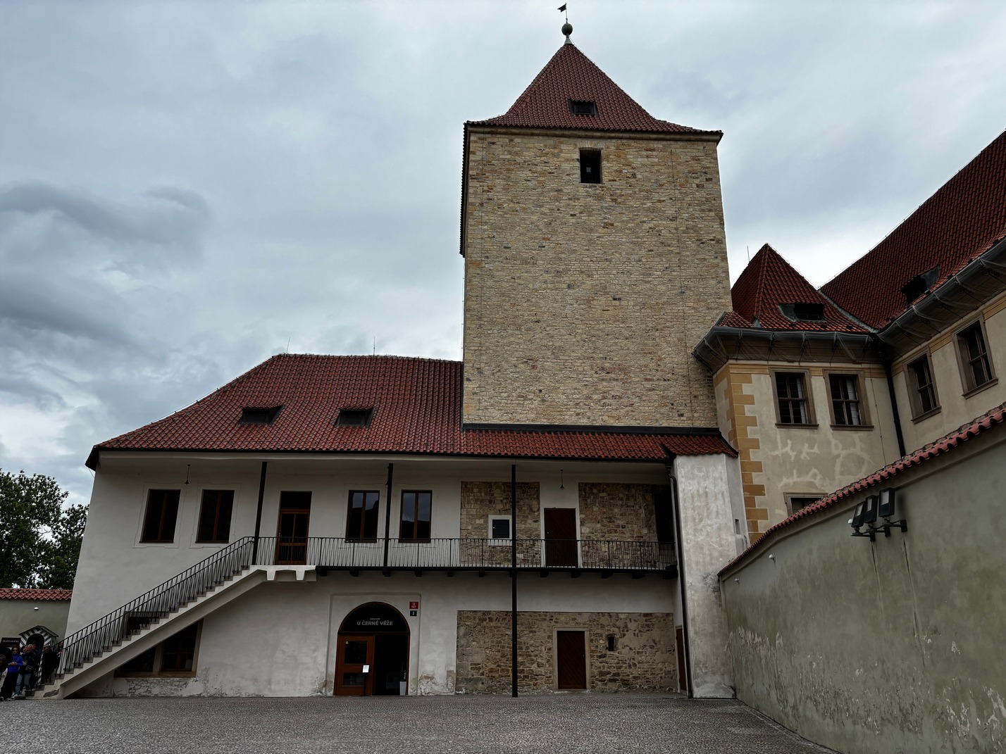
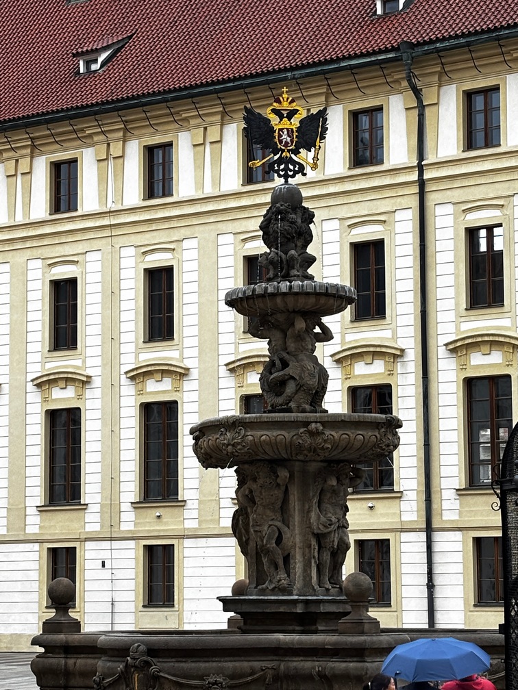
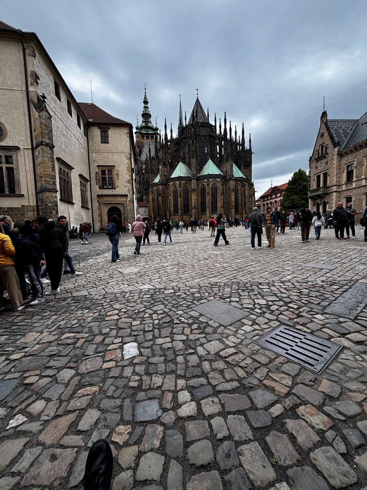
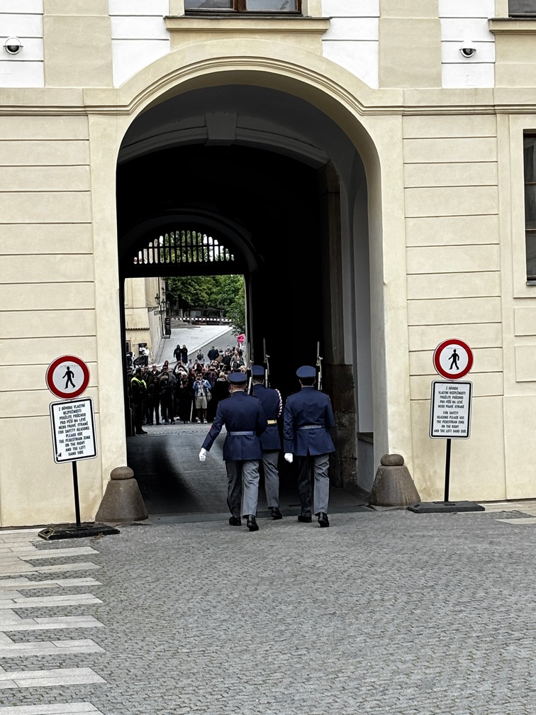
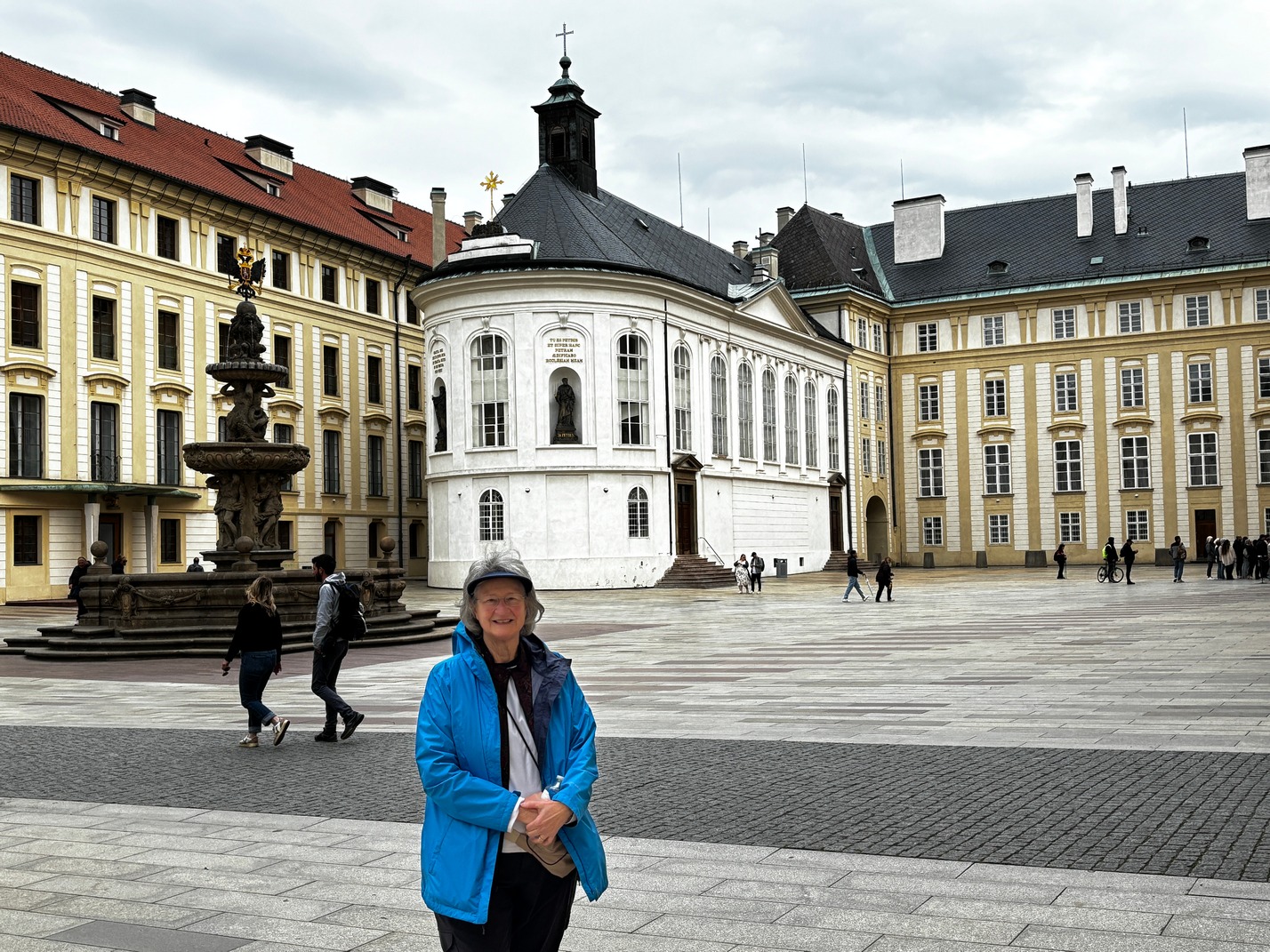
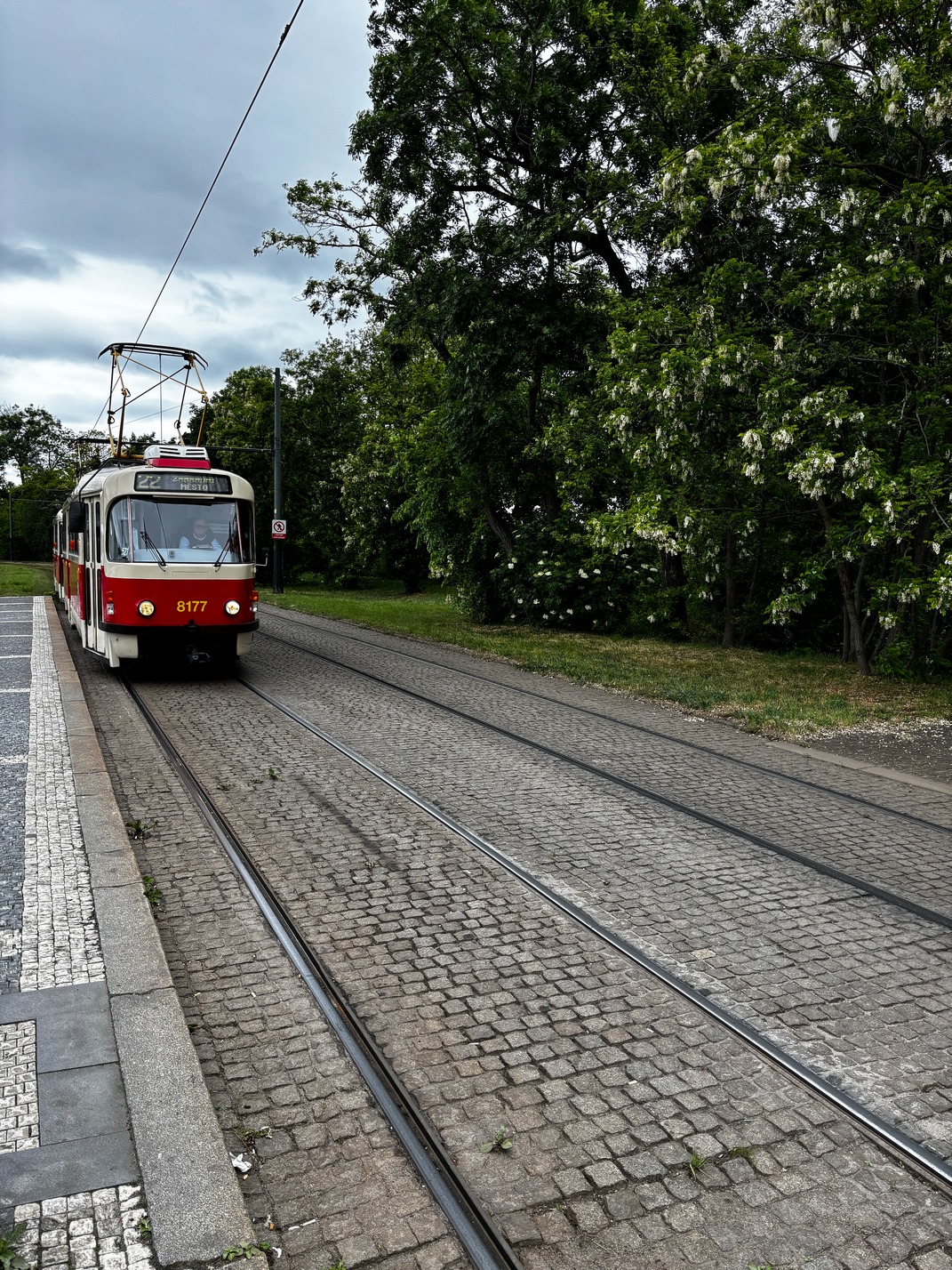
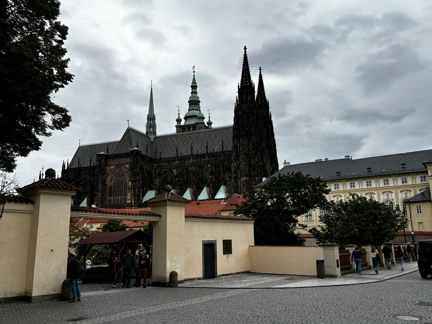
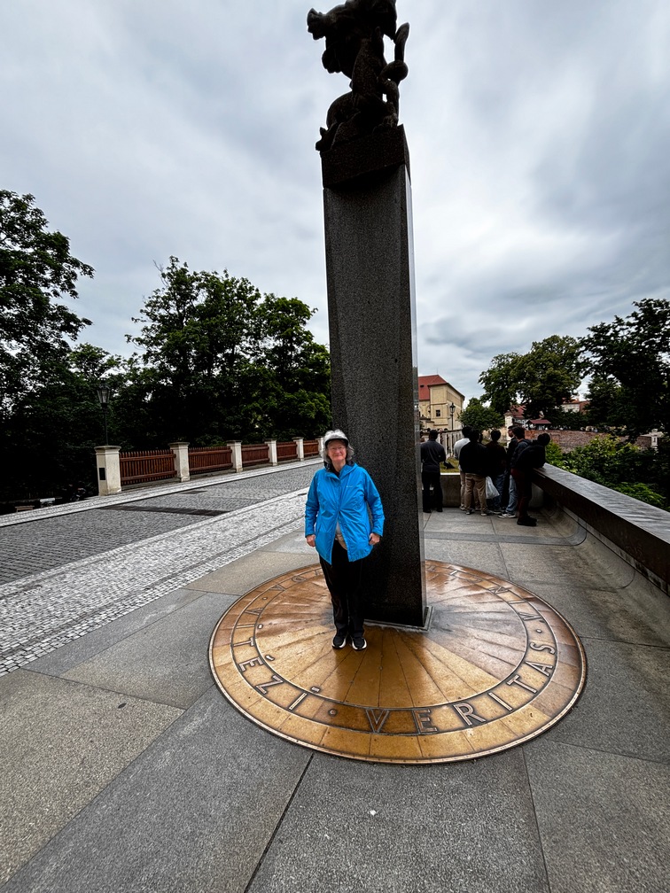
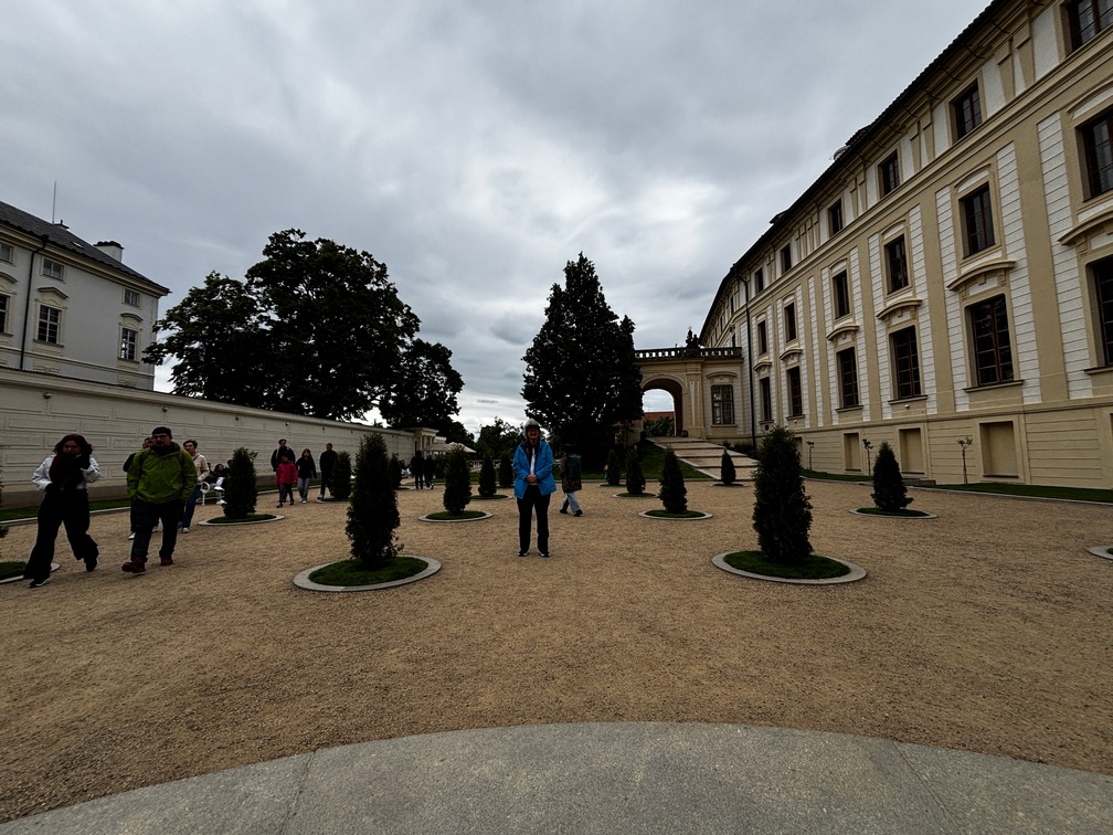
 The next morning we headed back to that clock and then Kathy and I went over to the Synagoge for a bit and caught a bus toward the Prague castle. Sort of wish I did a bit more
  research before climbing a very long and steep set of stairs up to the top. About 3/4 the way up while pausing to catch our breath I got a text from Scott about the tough climb. I then started
 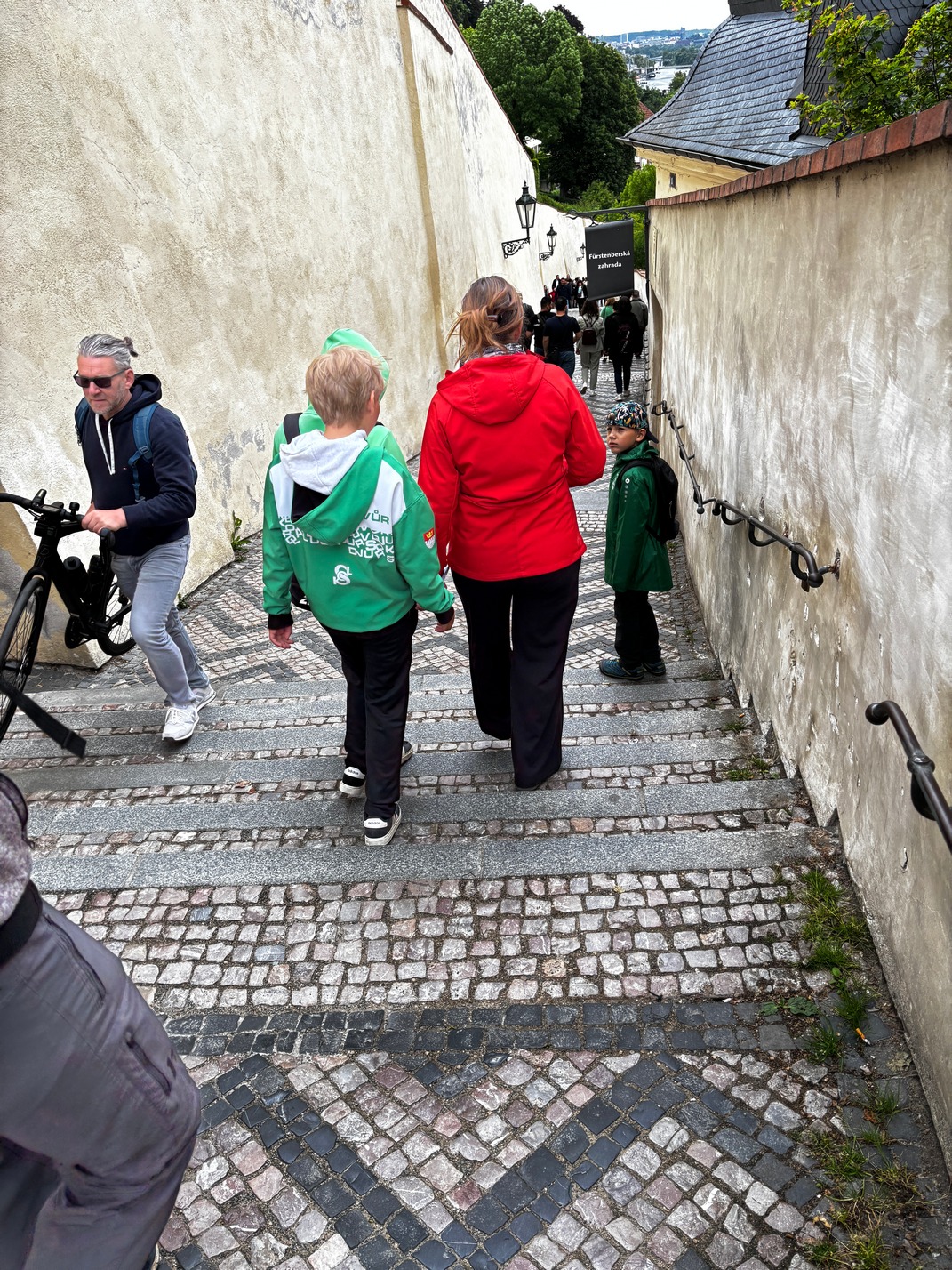 looking at G maps to see if there was a better way down when we were finished as going down these was nothing
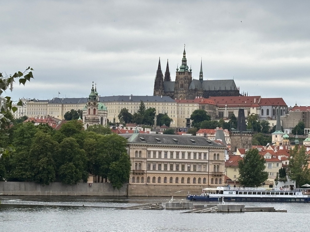
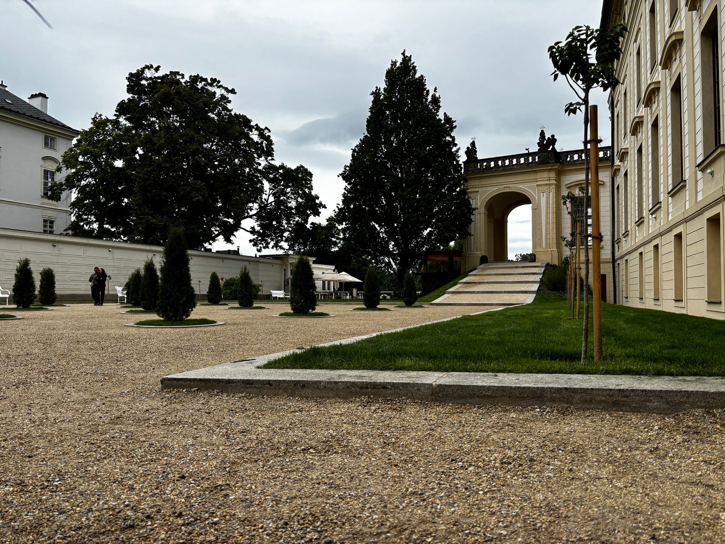
  something either of us wanted to do unless it was the only way. I found a side gate all the way on the other side of the castle that looked to have a tram stop at around the same height as the castle grounds that we could use to get back to the river. After lunch on the castle grounds we took the tram back to the other side of the river. I sure wish I had come up that way too.
The last full day we headed out to find breakfast and after one stop decided to move on to find another which turned out to be closing due to their power 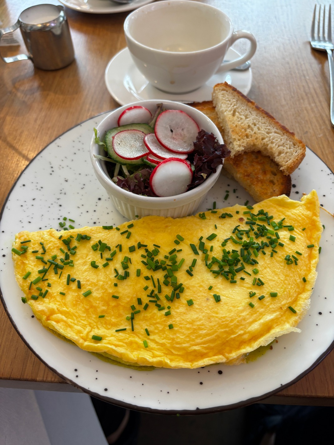 being out. Kathy found us the next spot to try which turned out to be very good. Scott and I had a great omelet there, and the ladies chose pancakes which no one complained. Scott & Tami left to go back to the room while we talked to the folks at our next table who were from Chicago but currently were living in London for the last two years with their two young children. One of
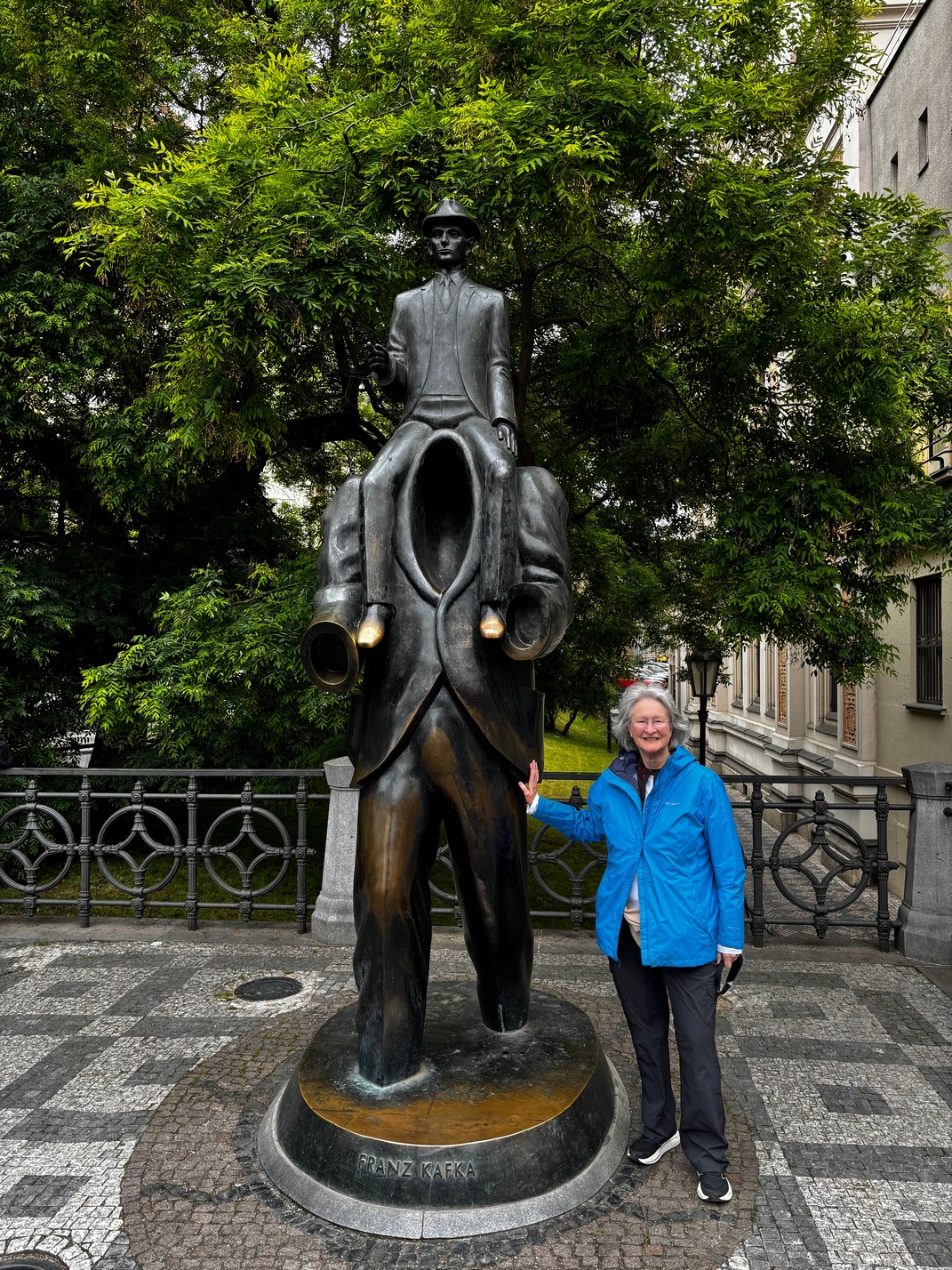
 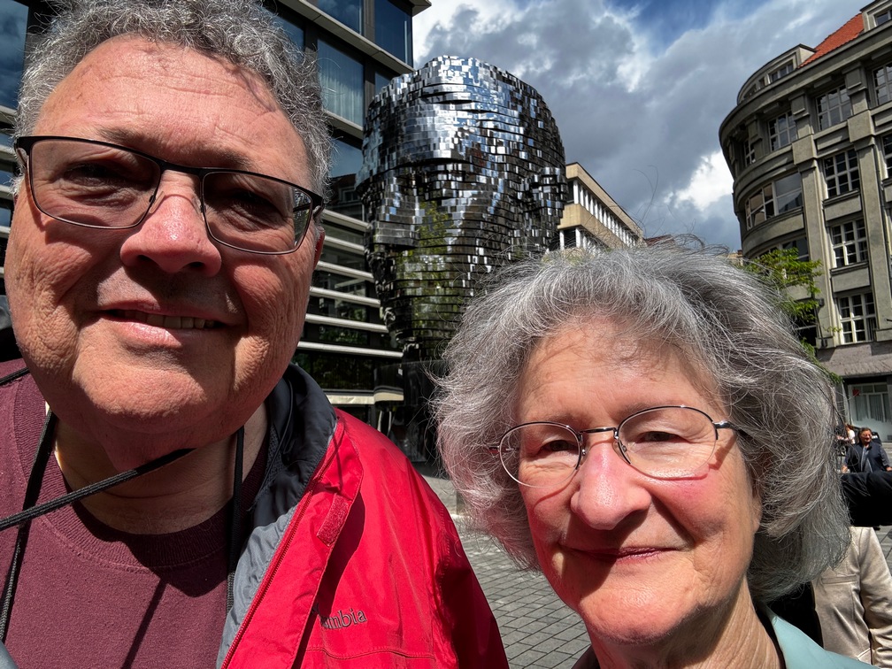 them had a grandmother that lived in San Diego. We left a few minutes later
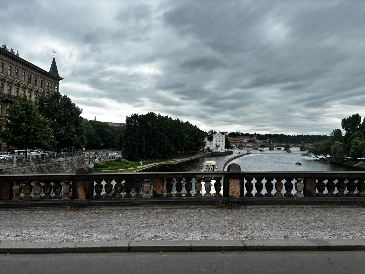
 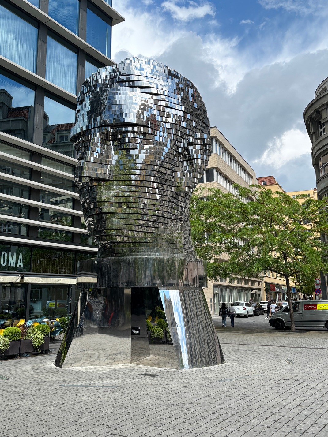 and took a tram that was across the street over to the Rotating Kafka head. We didn’t stick around to watch the head rotate on its schedule as there were fairly dark clouds moving our way. We walked back over to the
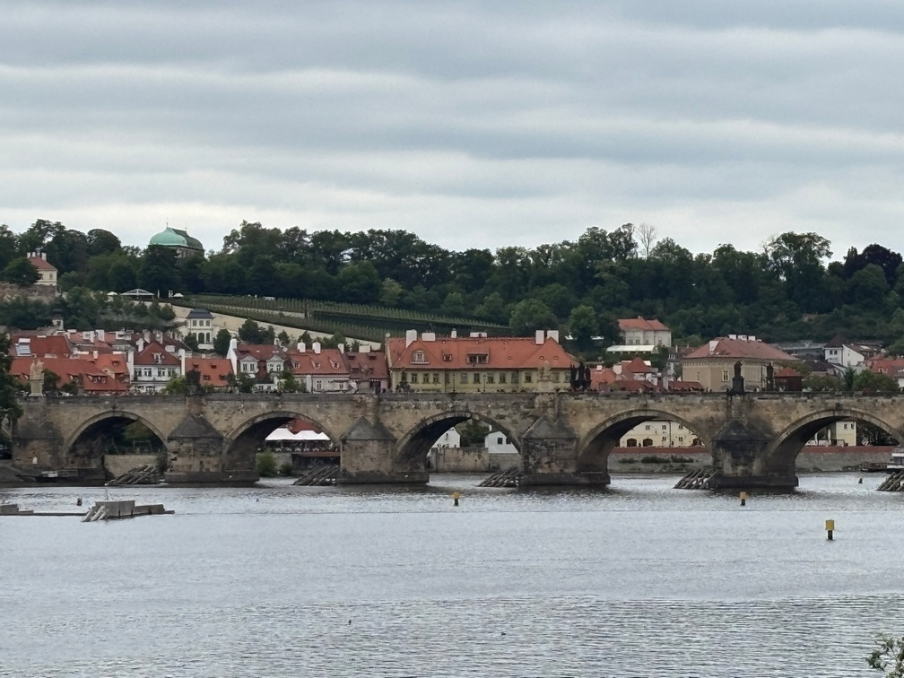
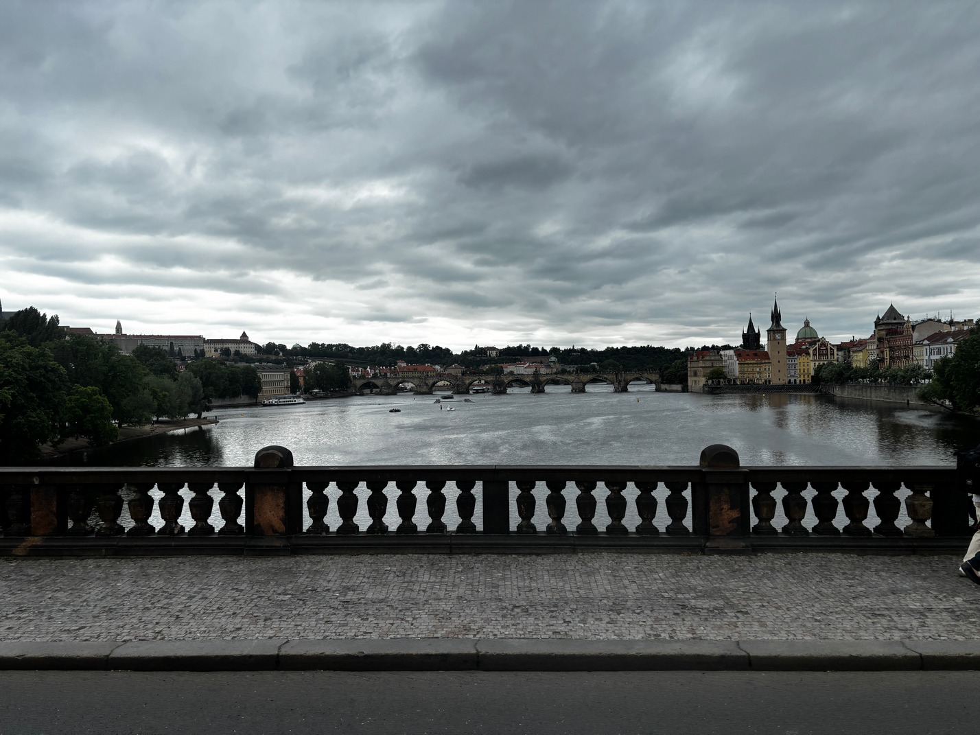
 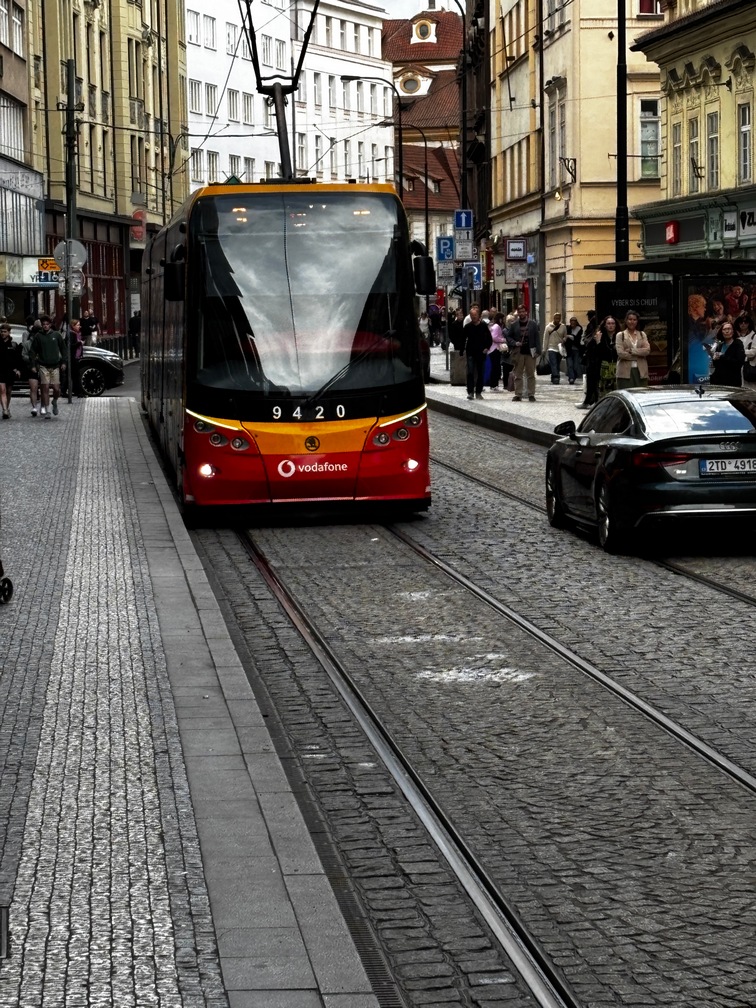 tram to get back to the Charles Bridge quickly. The tram stop was quite a ways from the bridge and when we got off it started to sprinkle a little bit. We headed over to the river to walk along it on the way back to the bridge. It started to rain a bit harder and I spotted a scaffold about 100 meters ahead that covered the sidewalk just prior to getting to the rivers edge. As we got to it the heavens let loose a torrent of wind and rain. Phew! We watched a lot of folks get caught in that squall without a raincoat or umbrella. Although one older woman’s umbrella got turned inside out and it was toast but she didn’t grok that and she kept trying to fix it. (that was hopeless) We stood under that cover for at least 15 minutes of hard rain. While there I could see a roof or something over by the river which was maybe
 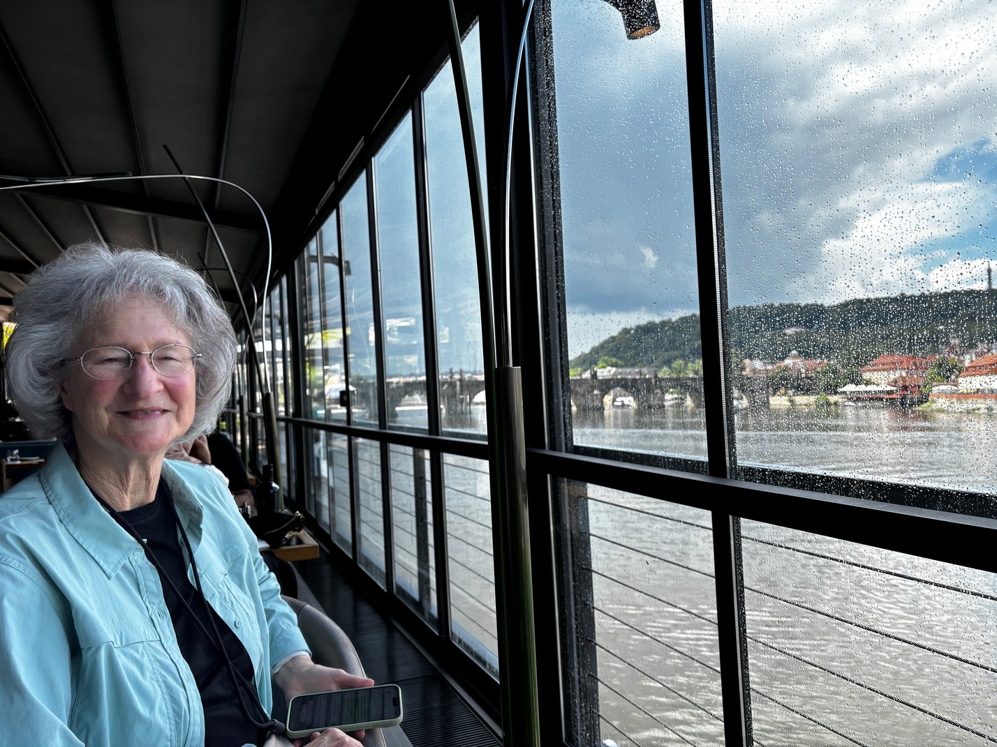 another hundred meters. I checked G maps and it turned out to be a restaurant right on the water. The rain started diminishing and we “be-lined” for it. I was a really nice looking restaurant on a barge or something similar. We got a table next to the wall of windows to
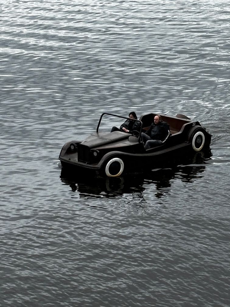
 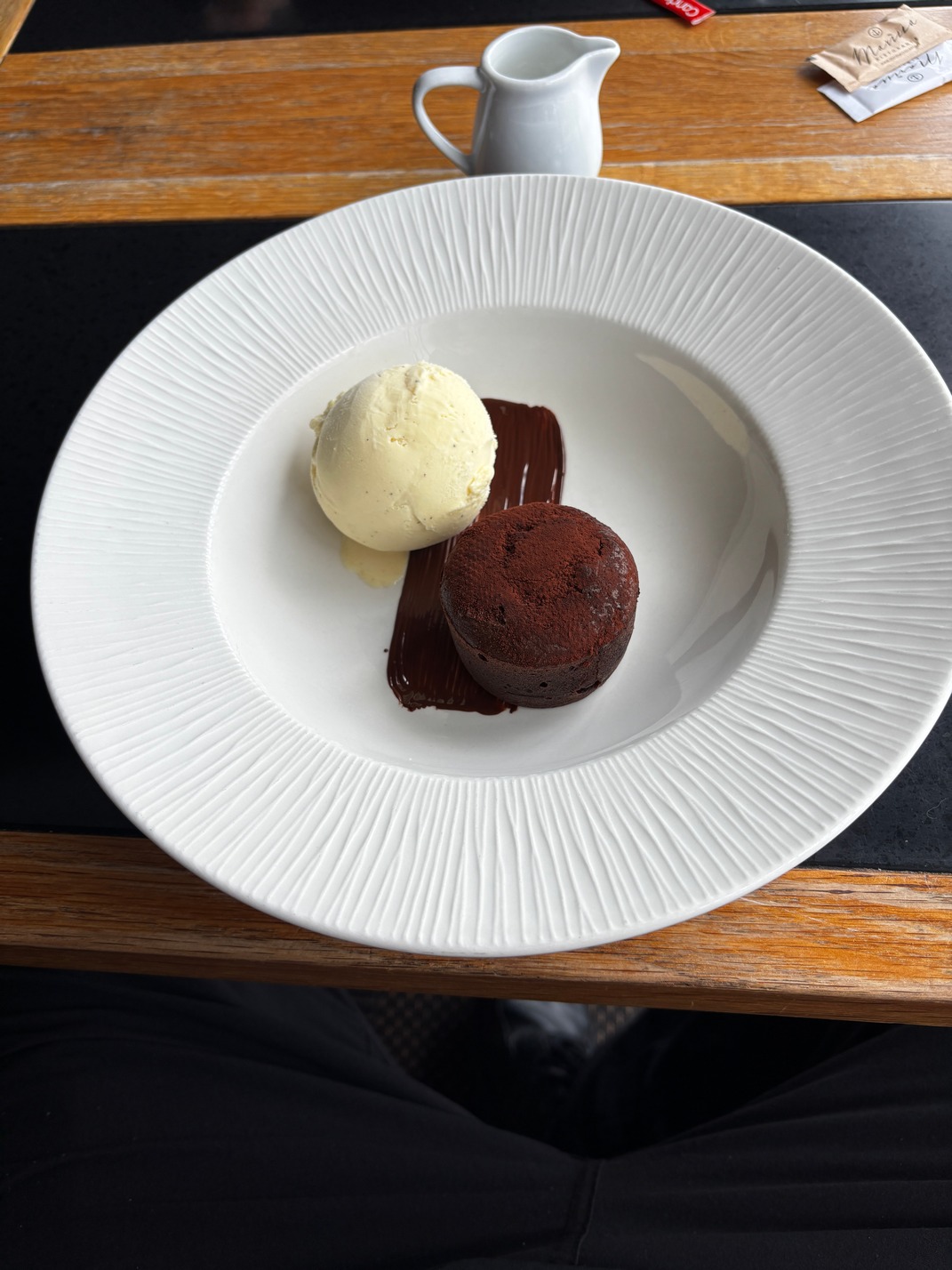 have some more coffee while we watched the boats travel up and down the river. We had a good view from there of the Charles Bridge. Since it was a close to a couple hours after breakfast we decided to have something, that turned out to be a chocolate tort and ice cream for lunch. They told us it would take about 10 minutes to bake the tort. It was a very nice wait while having coffee right on the water with a wall of windows probably 30 meters long next to our table. Our waiter told us the wall of windows are really doors and open up during nice weather, and also the roof had the same feature. I was glad they didn’t leak in the rain. We spent a long time at the restaurant while it kept raining (not torrents now, just a little more than a drizzle.) We left after the
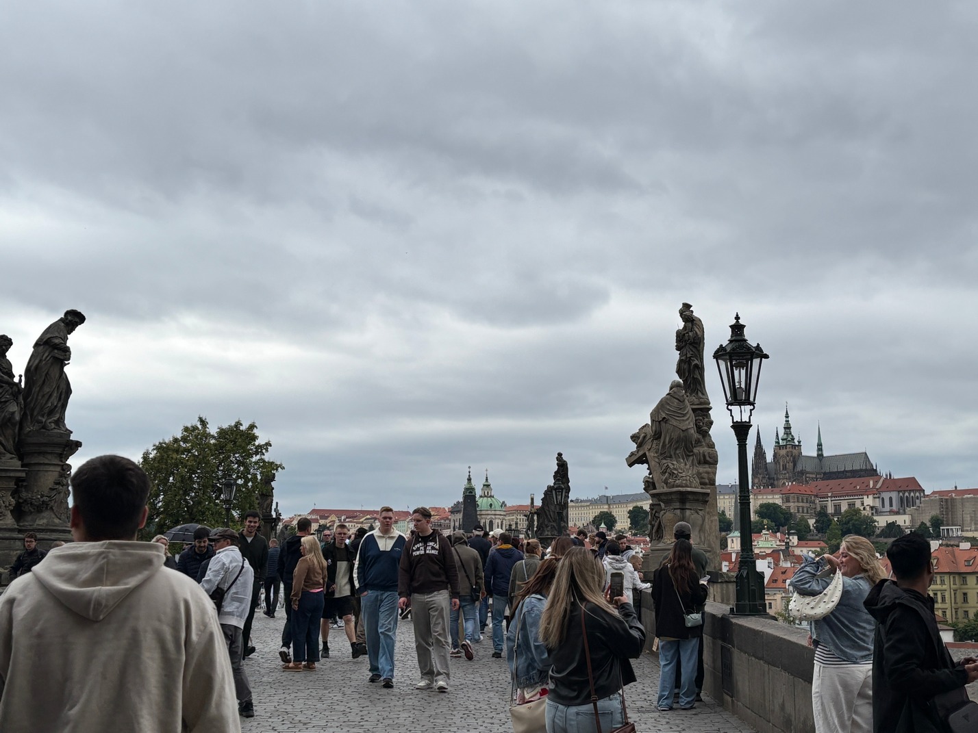
 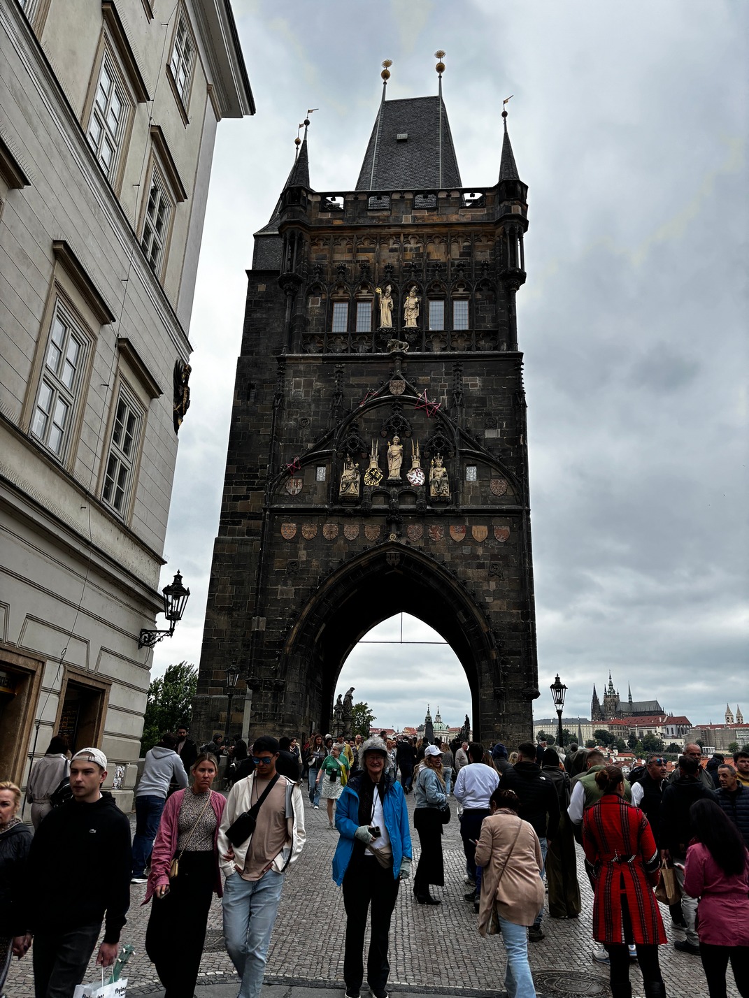 rain stopped and started walking along the river path, dodging a lot of deep puddles due to poor grading. When we got back
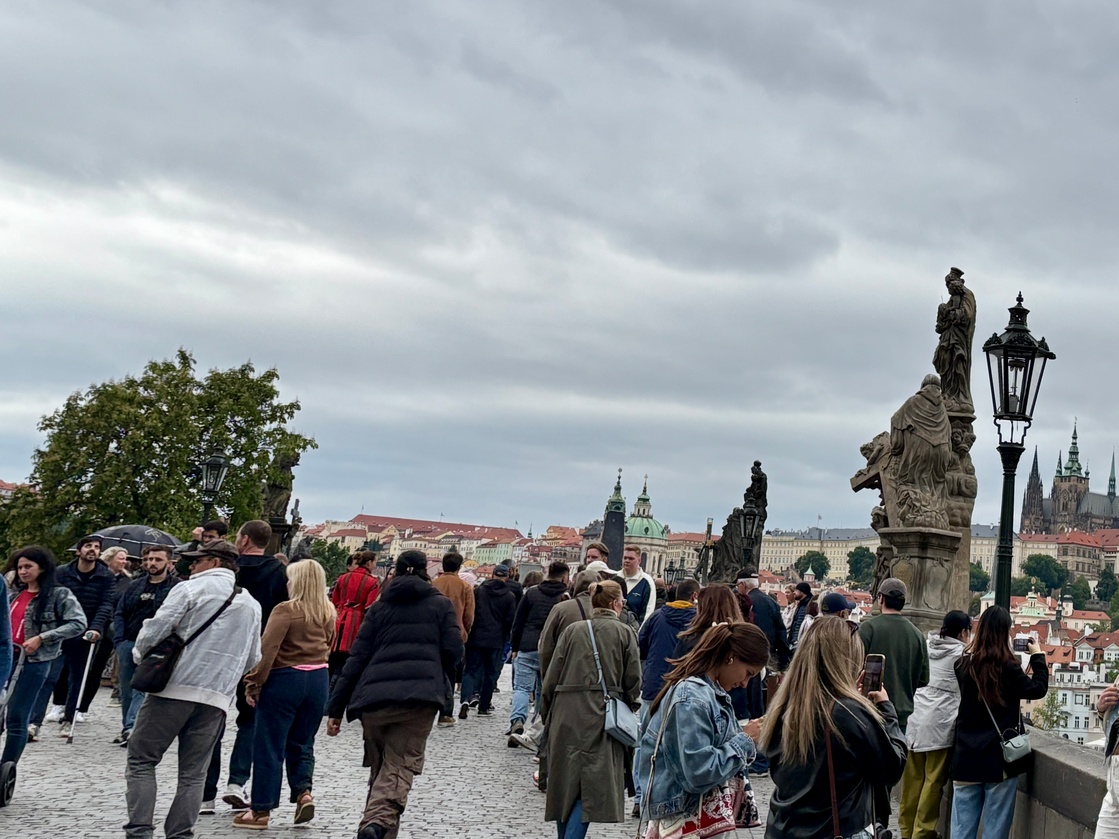
 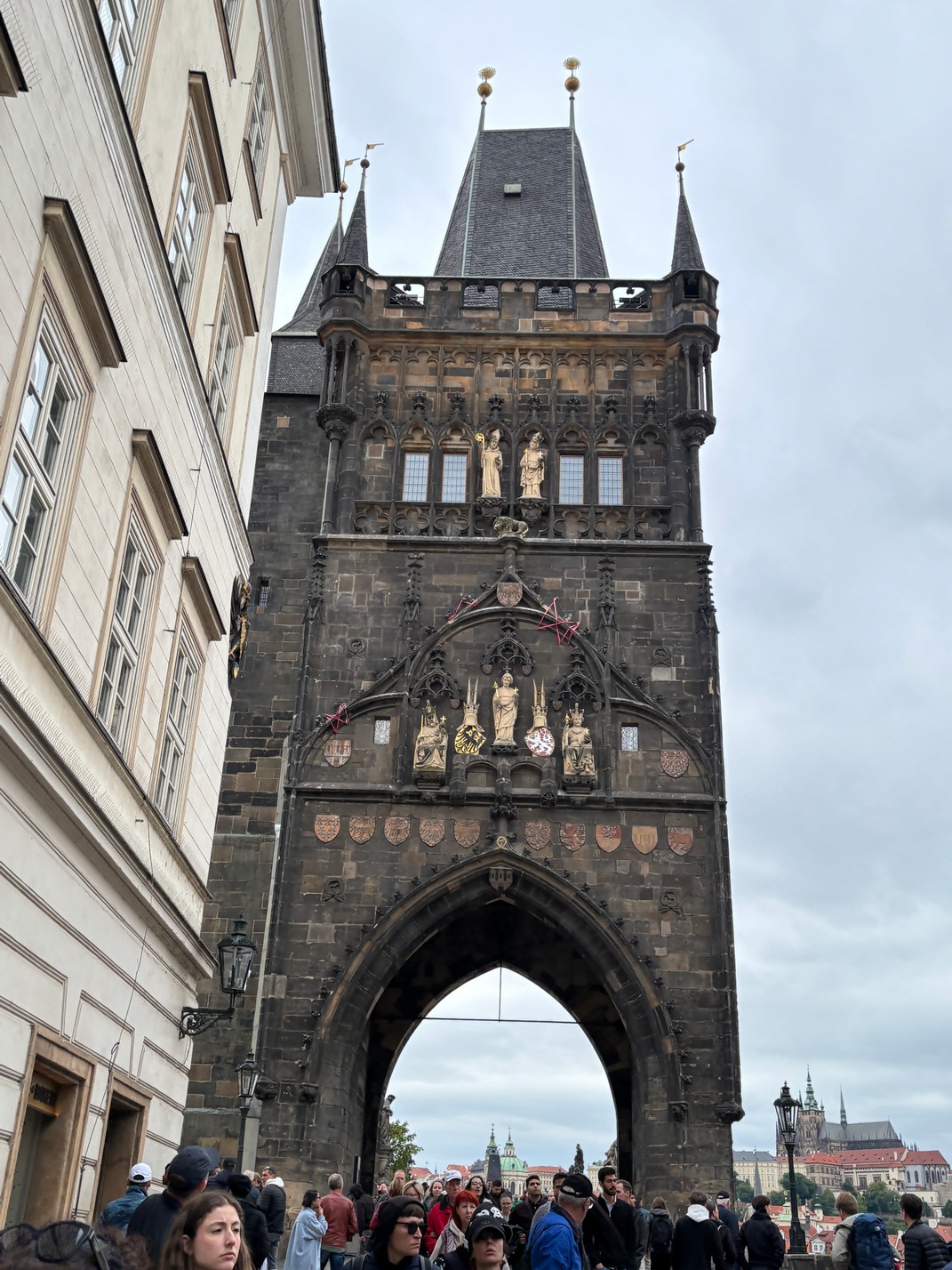 to the bridge it was jam packed and we decided to skip the throng of people on it. Its and old bridge that is now only for pedestrians and it was literally wall to wall with tourists. We headed back to the apartment
.
Around 5pm we started talking about getting dinner as the small tort for lunch was a long time ago. We chose a Thai place that didn’t disappoint. Afterward we headed back to the apartment to start packing as we have a 10:30am 4+ hour train ride to Berlin in the morning.
![]()
![]()

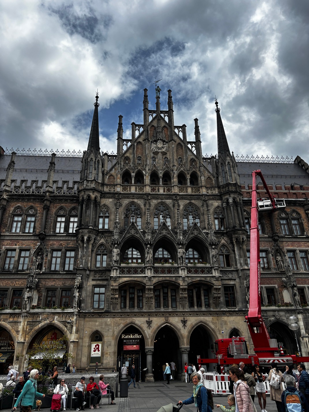
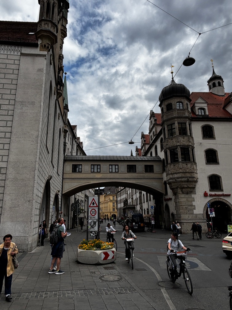
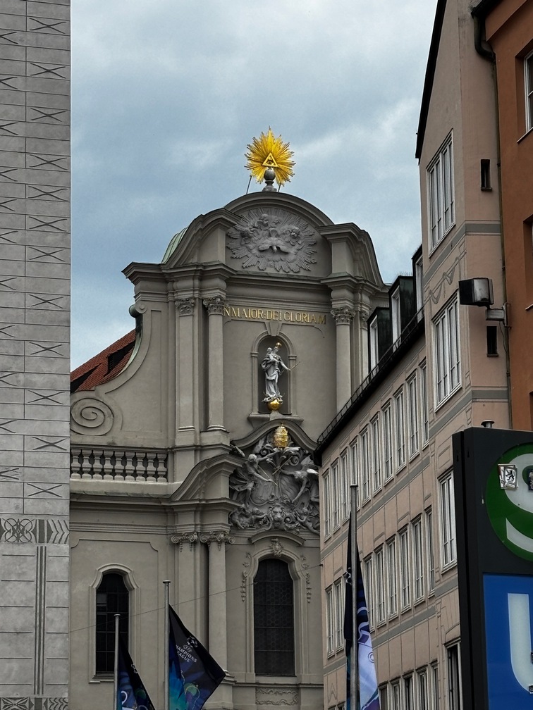
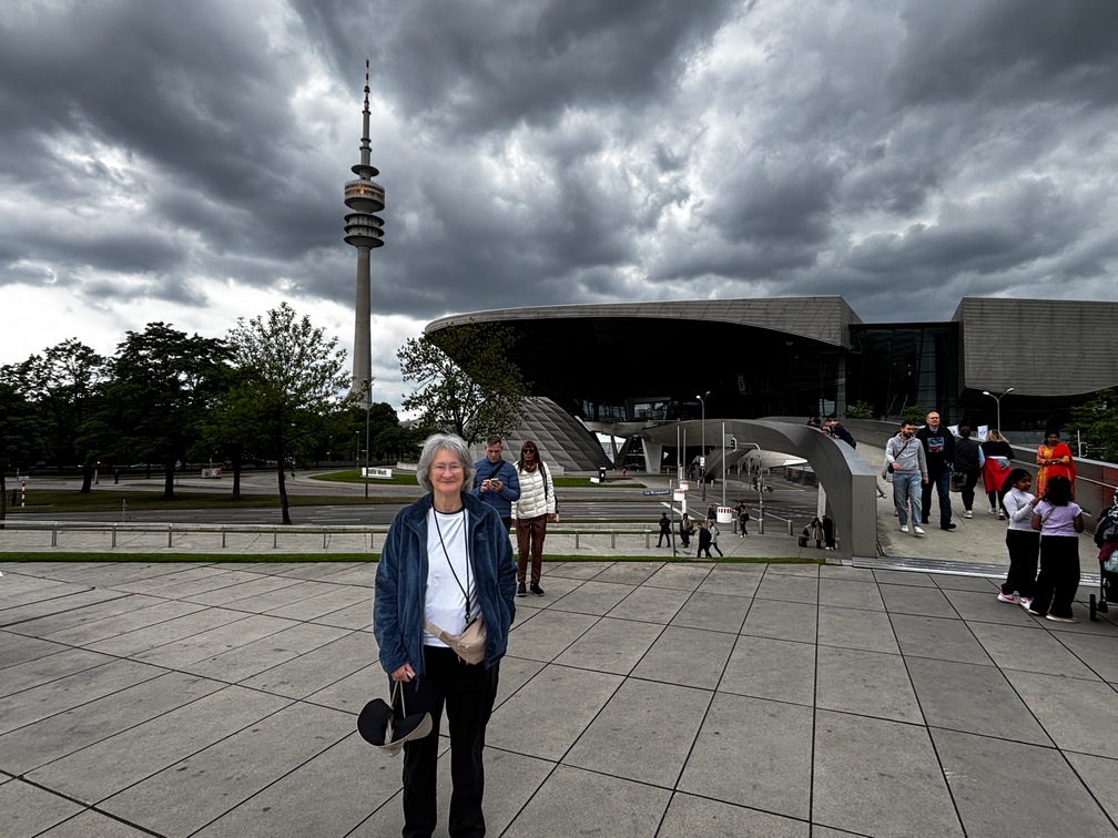
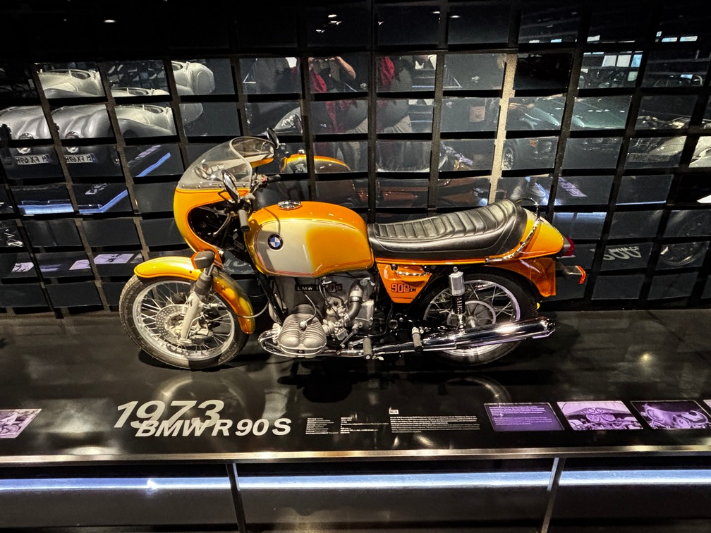
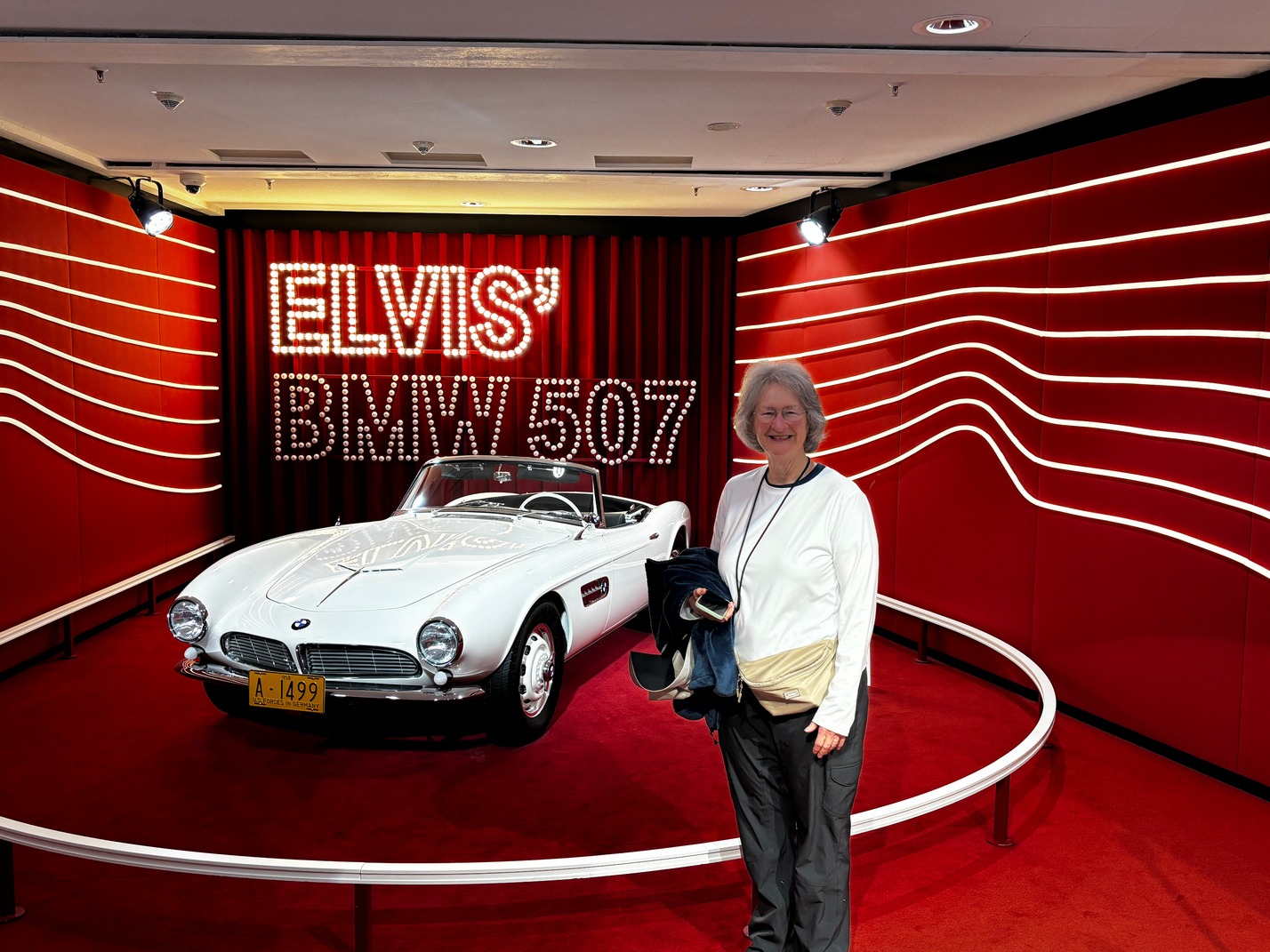
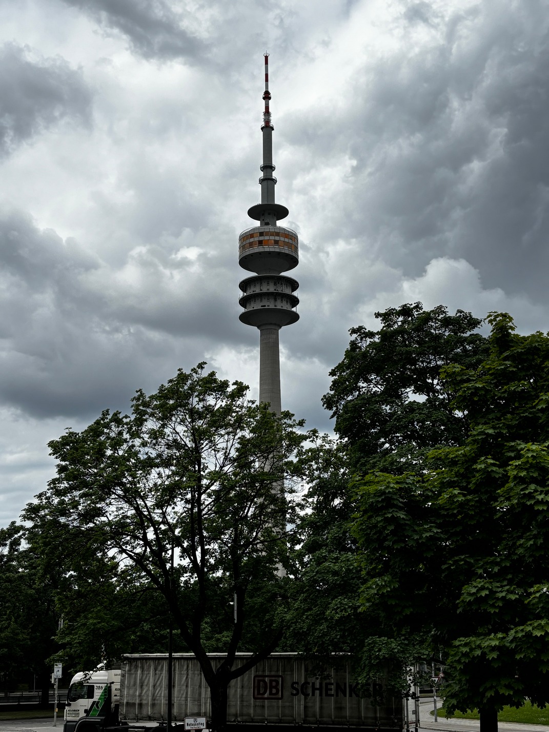
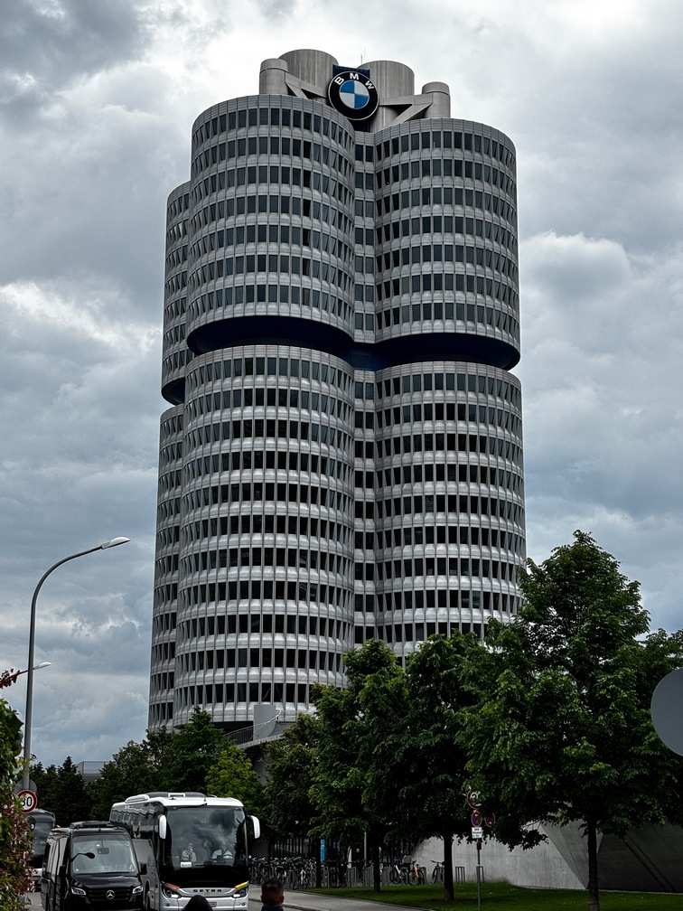
Munich
 Apartment were fairly close to the train station, short tram ride. Found the App to ride trams the trams and buses all around the city of Munich. Stayed at the Nena Apartment house, nice 6 story very new building. Just after checking in we headed out for food. We found a small French Restaurant about a block up the street for a late lunch. Very good food, but we all bought entrees off the specials board that had no prices. Everything was quite a bit more than what had been on the menu’s we had. Live and learn.
That first evening the fire alarm went off in the building and it took hours for someone to shut it off. I had to call the property managers to get something to happen. We went on a walk to get away from the noise. After being gone for some time we could see it was still going off by the flashing light on the front of the building.
Turkish Bakery diagonally across the street. Had the best Burek I’ve ever had. We stopped there pretty often on the way back to the apartment to pick up sandwiches, pizza slices or Burek a few of the days we were in Munich.
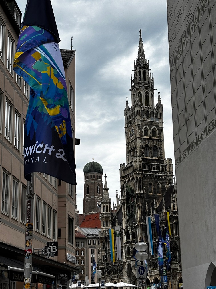
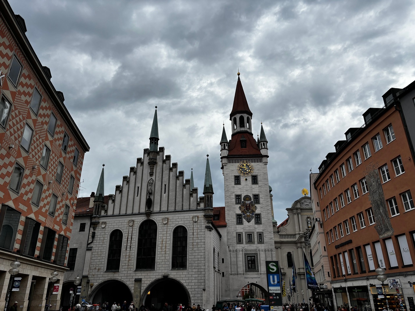
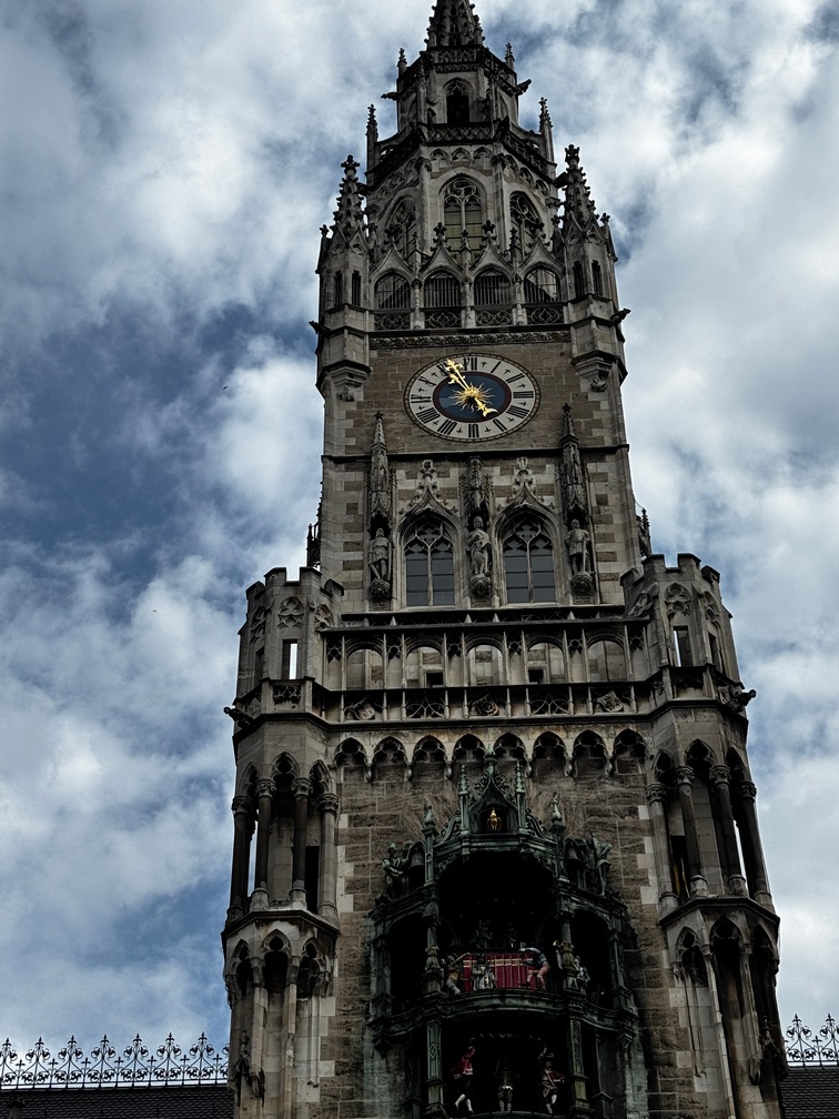
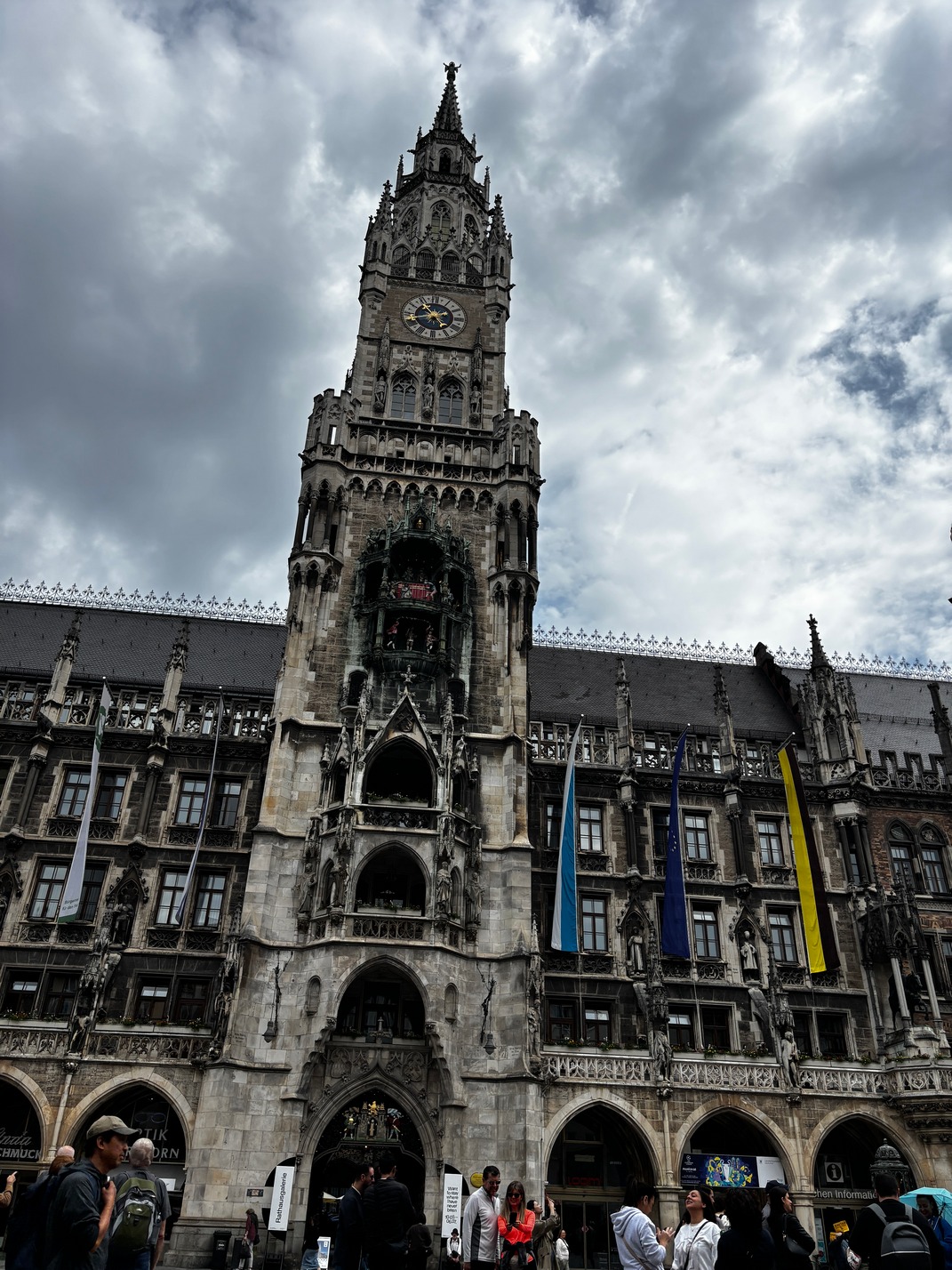
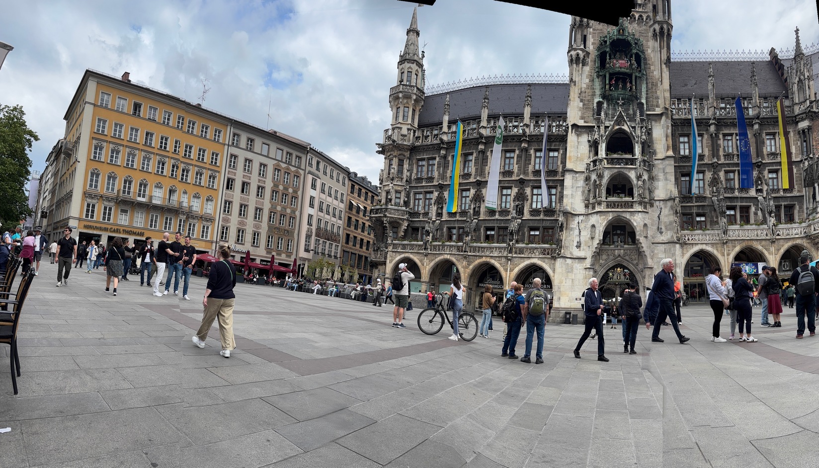
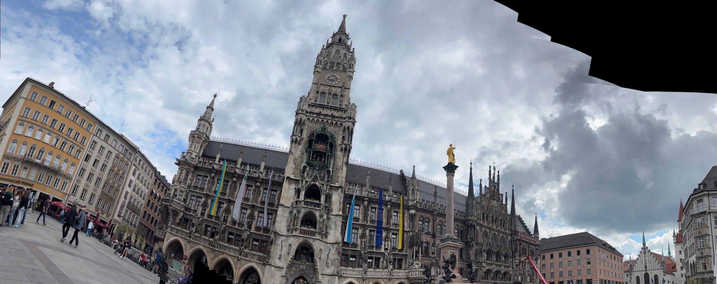
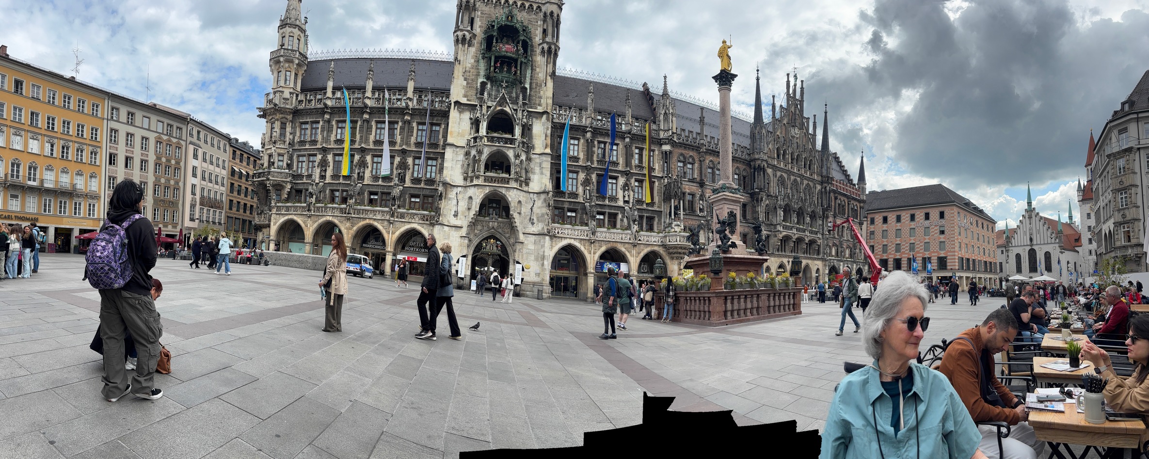
 We headed out one morning to get coffee in the square across from the Glockenspiel building. Its quite a cool thing
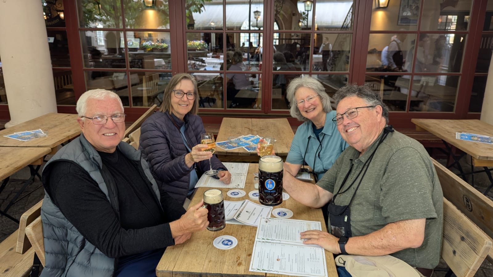
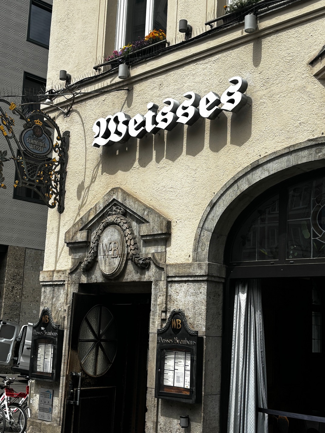
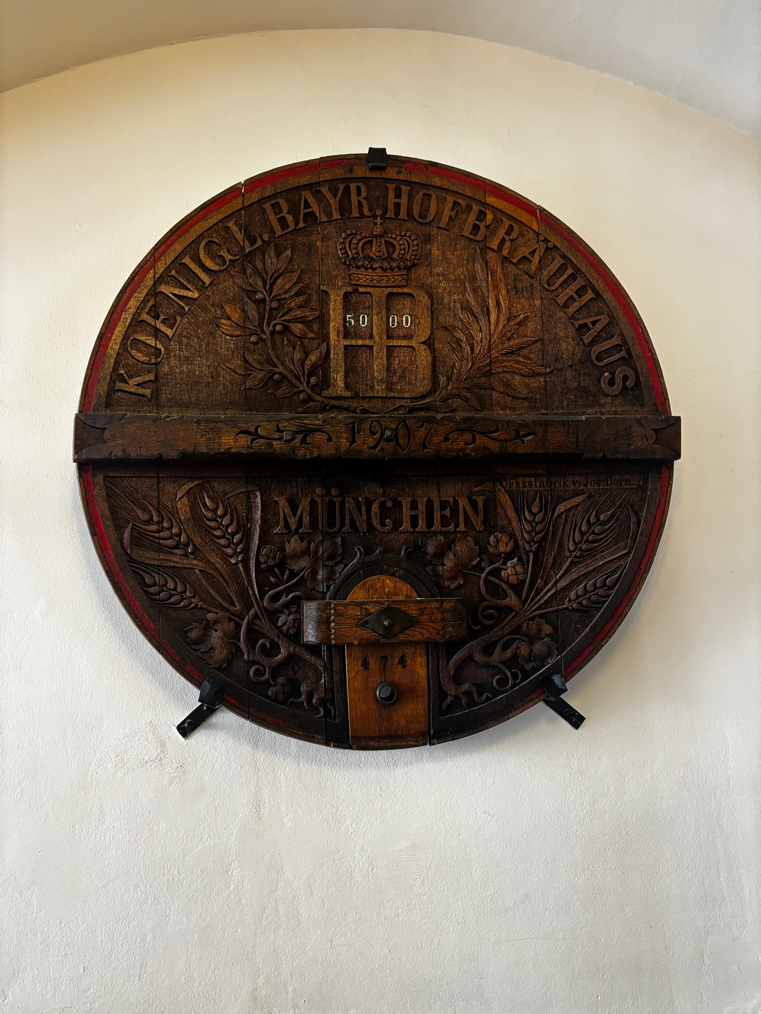
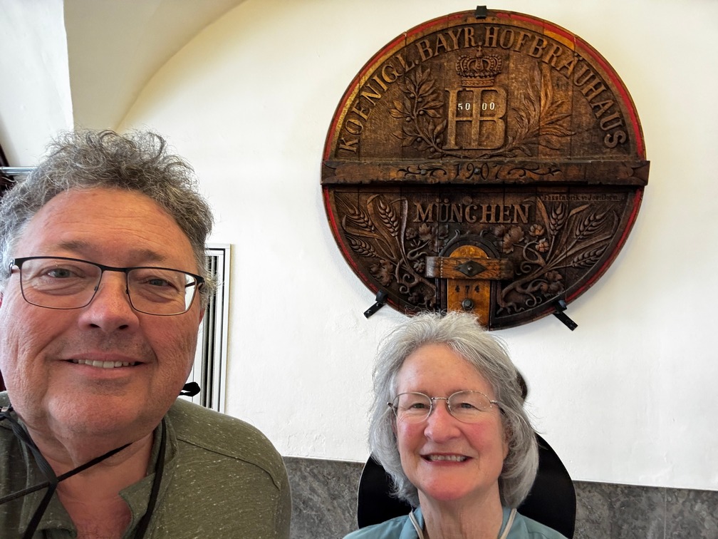
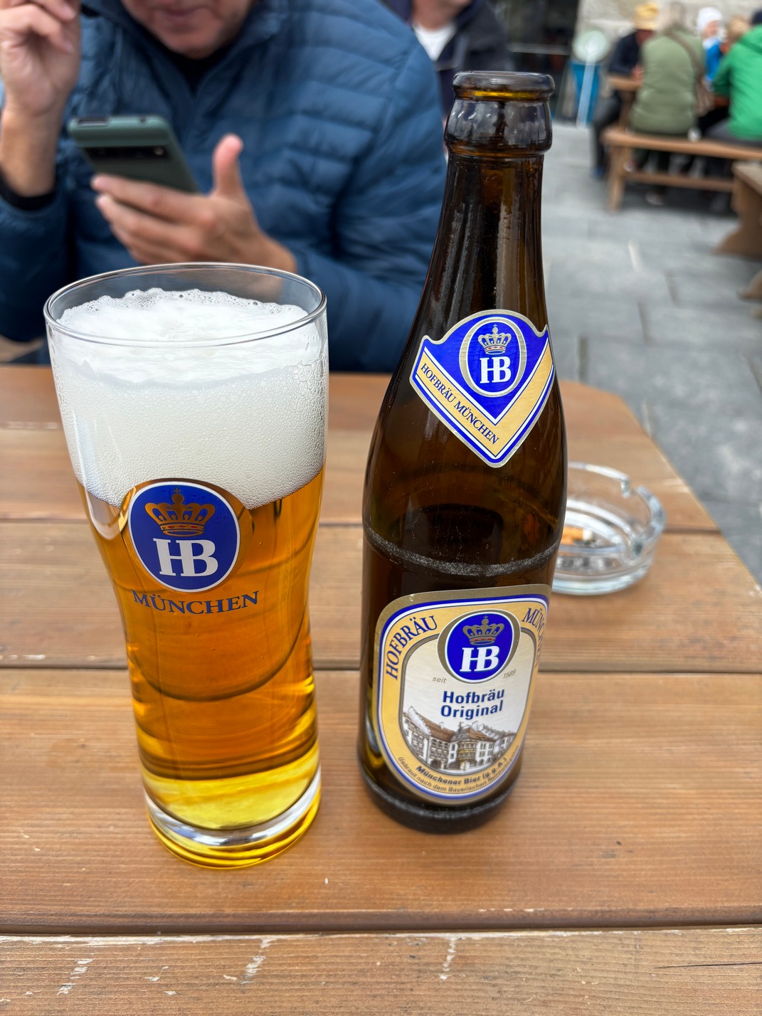
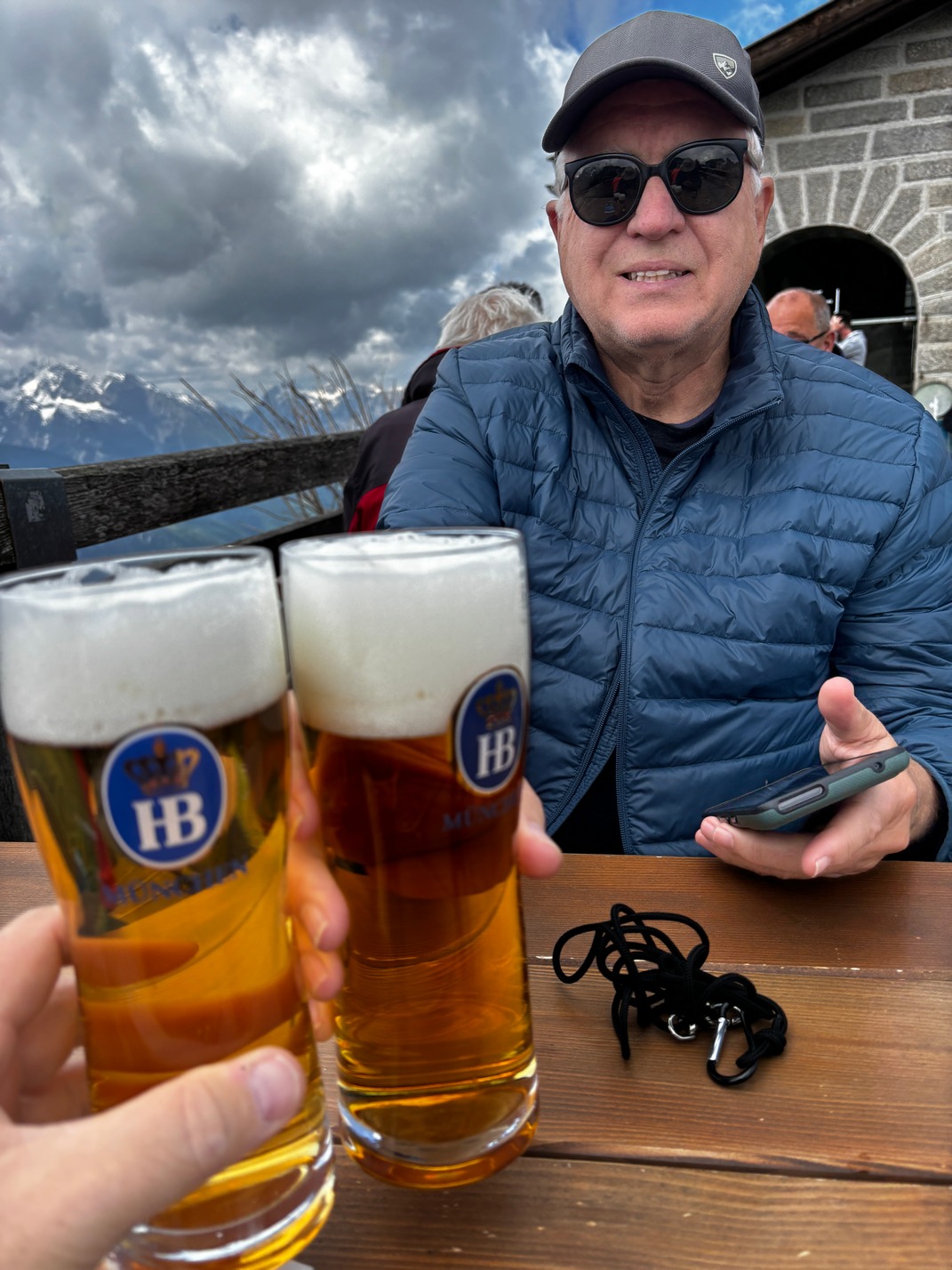
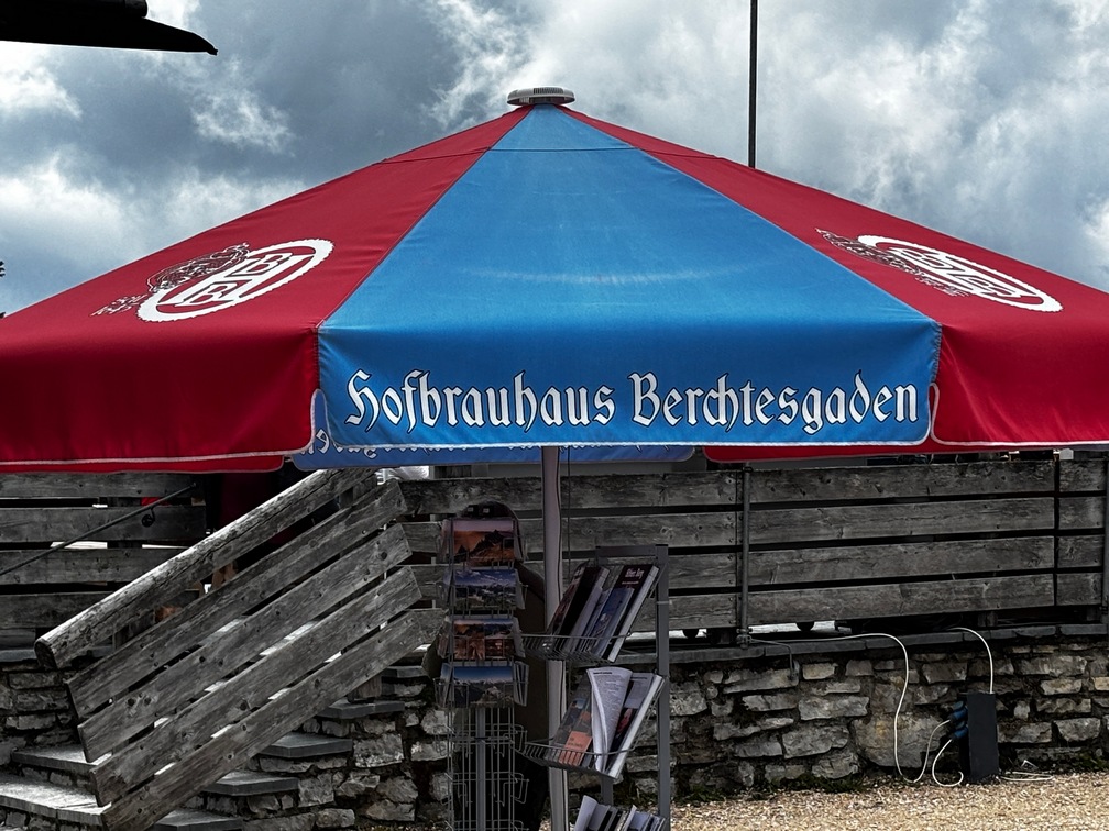
 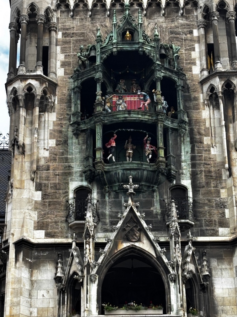 to watch, and goes on for about 10 minutes with a large crowd. After it was over we made our way to the Hofbrauhaus for beer and lunch. (Pretzel).
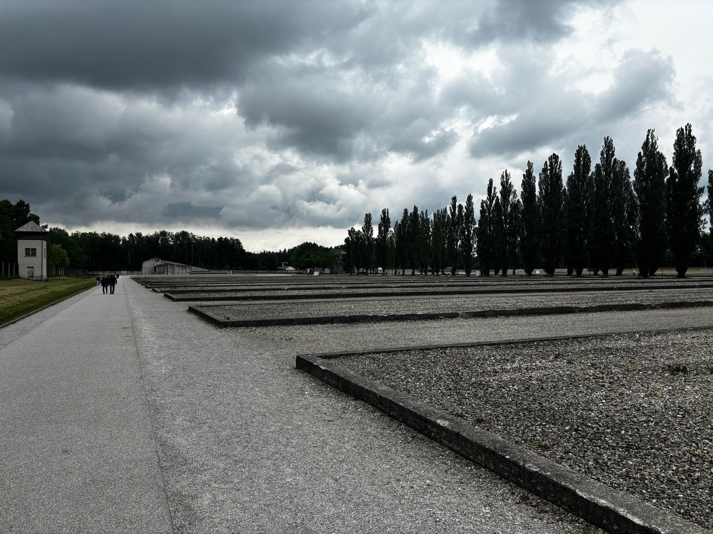
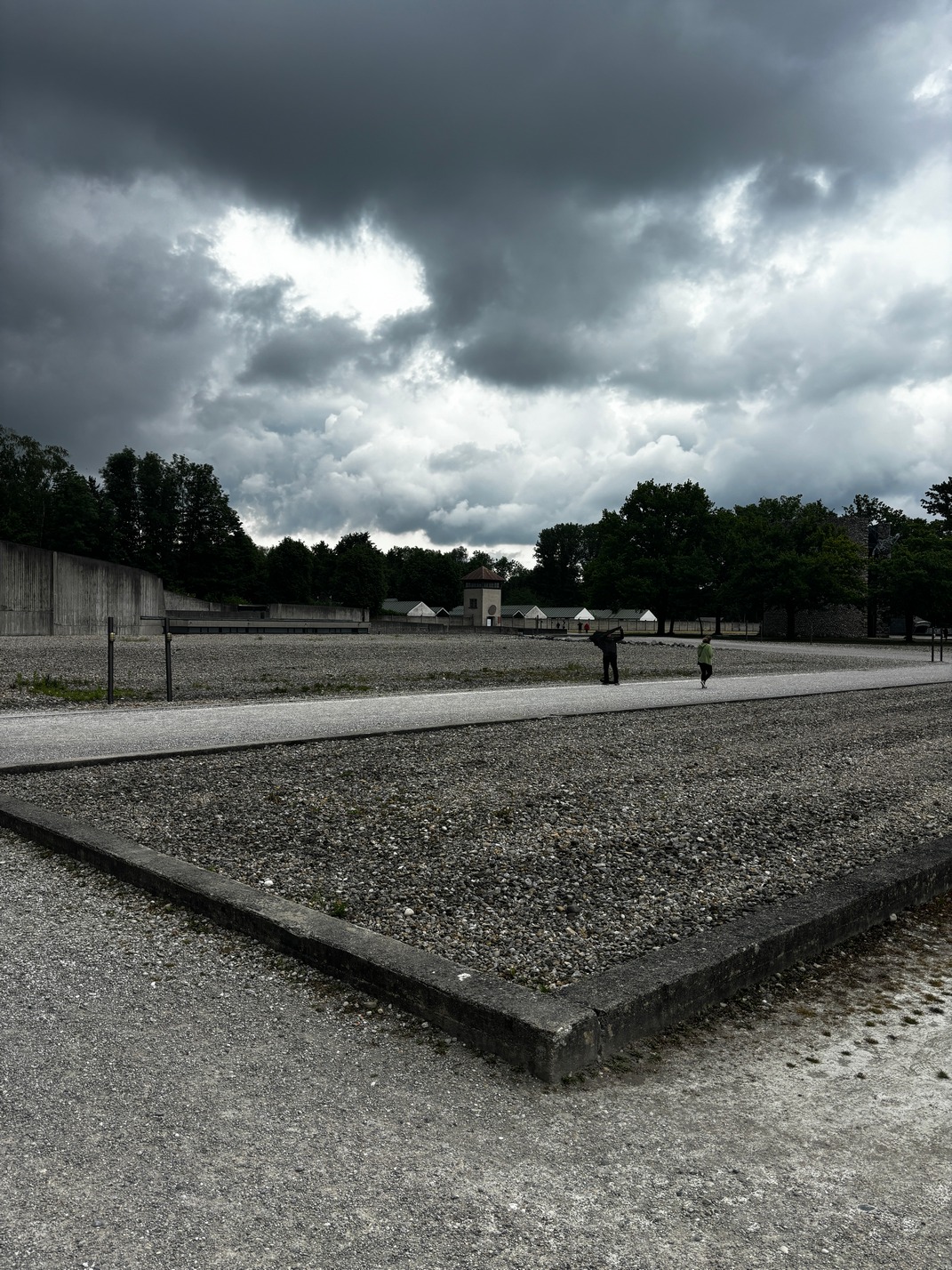
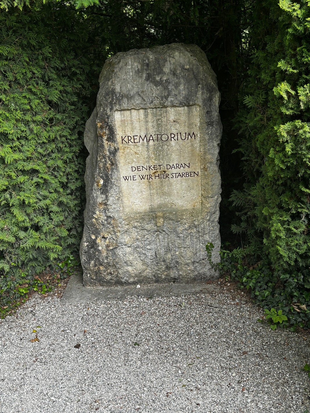
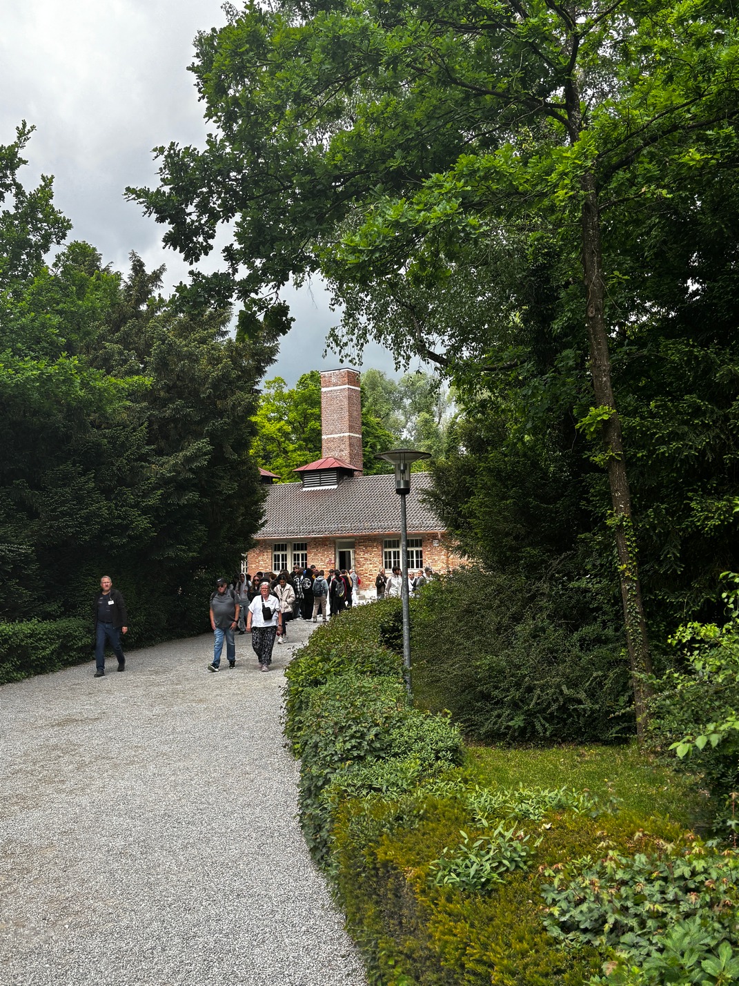
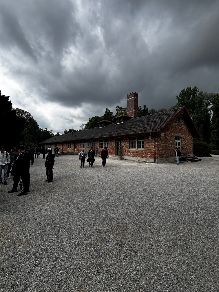
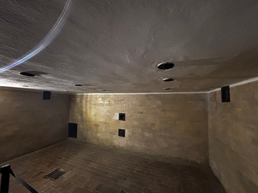
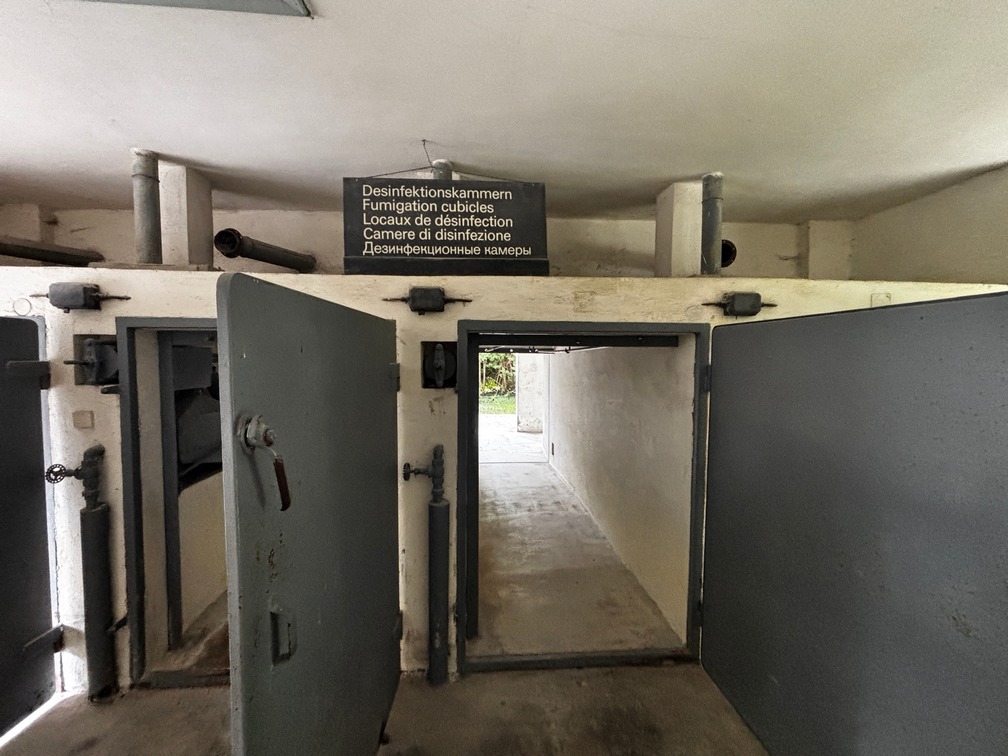
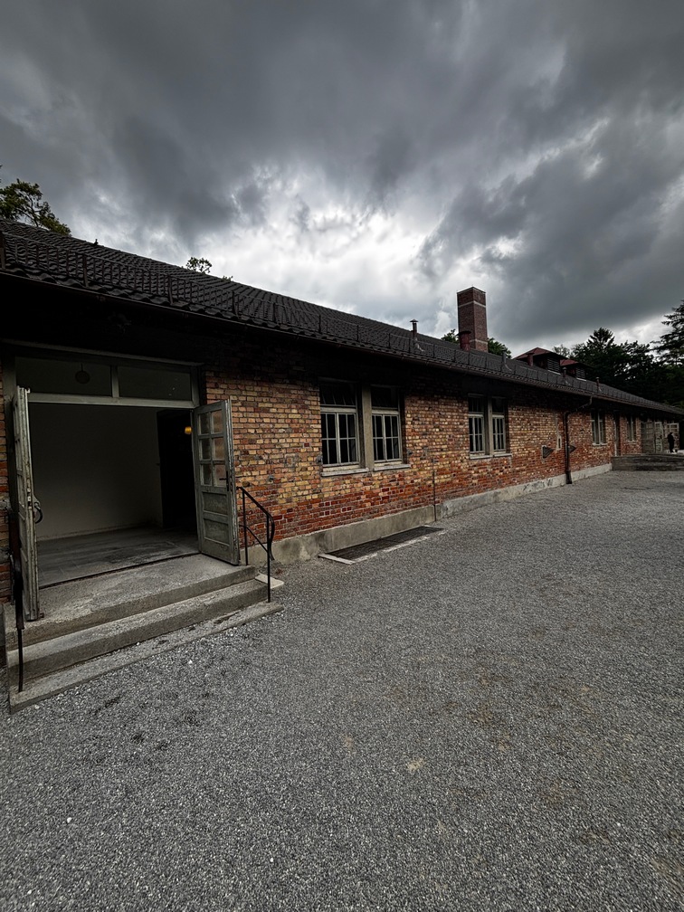
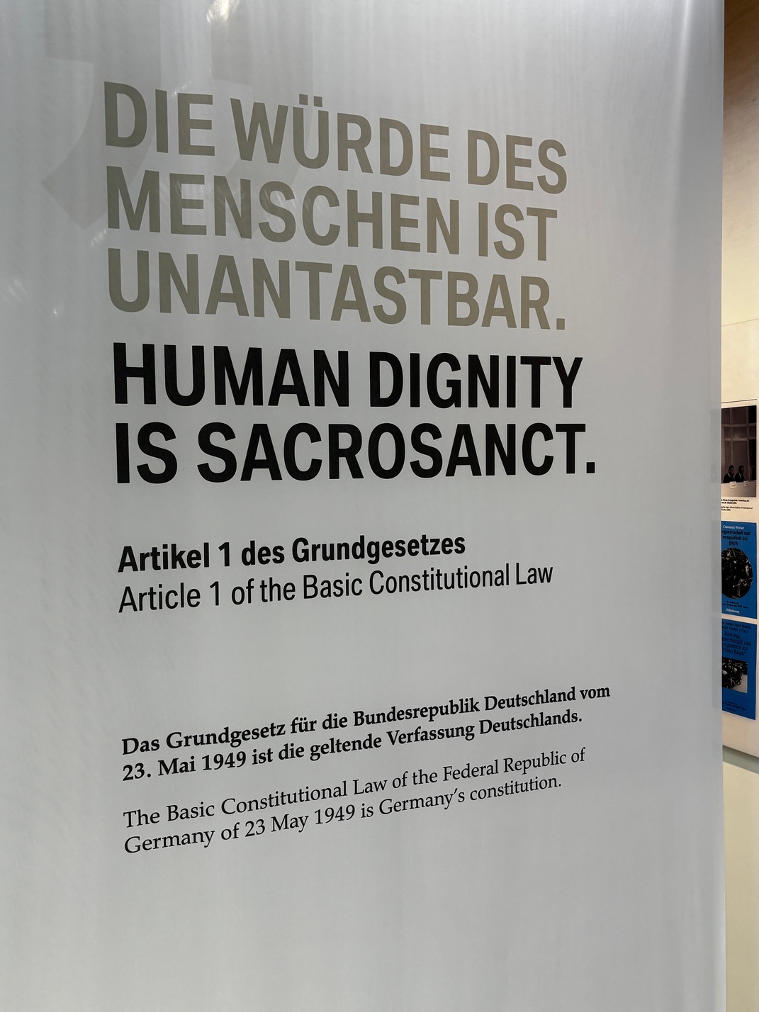
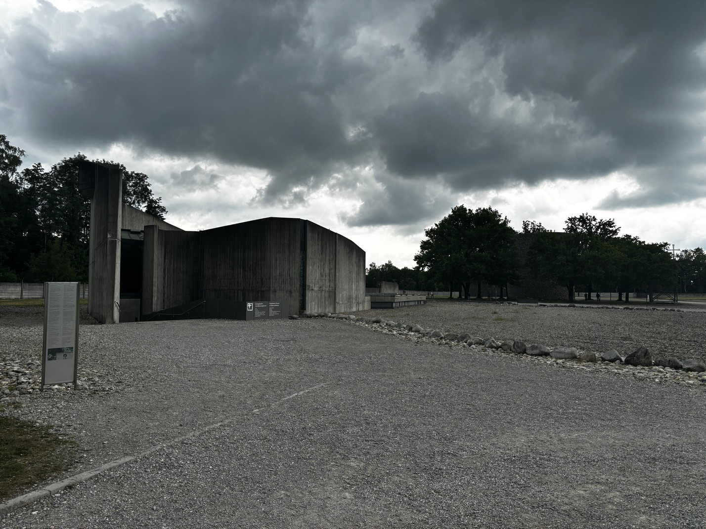
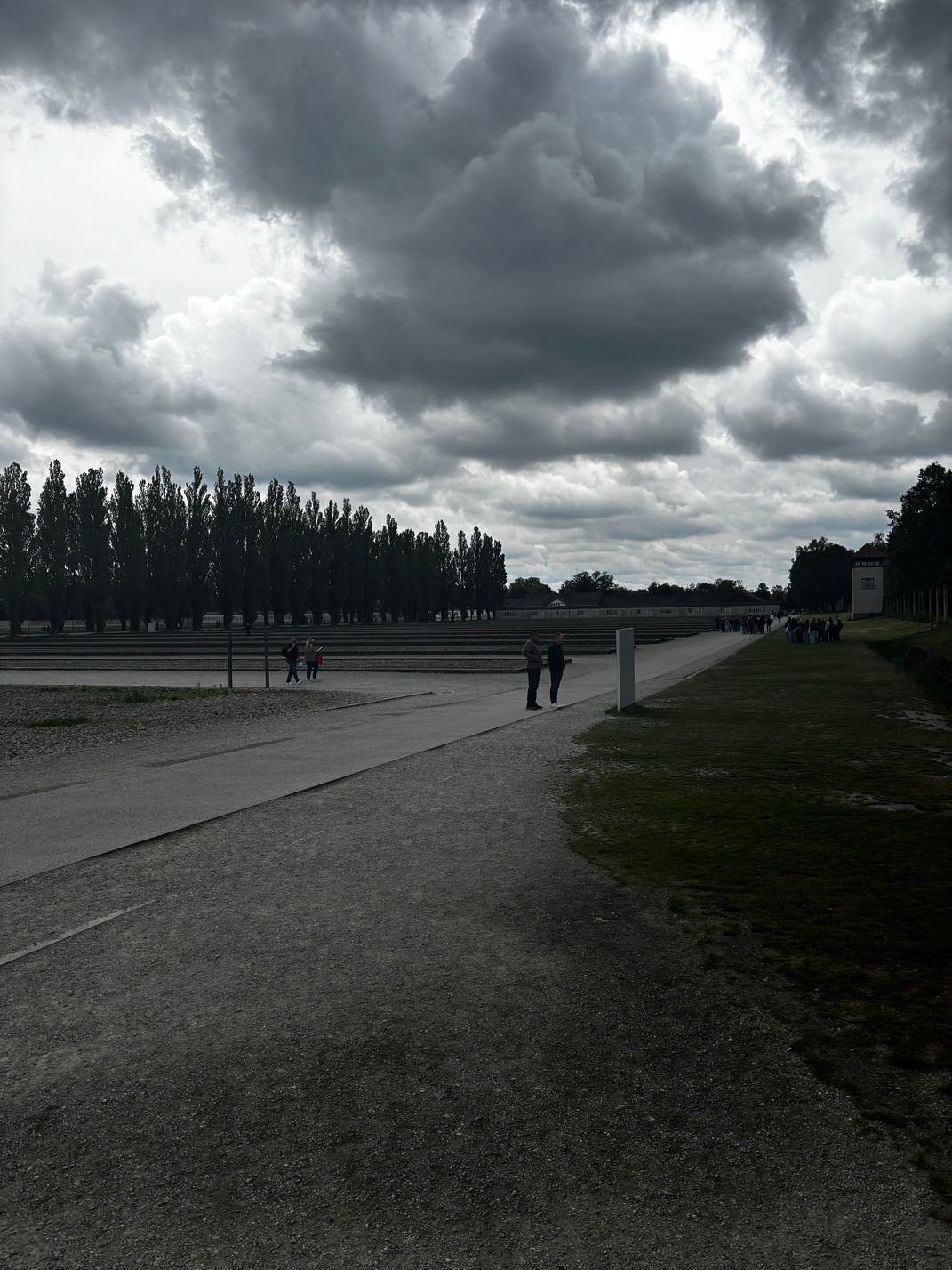
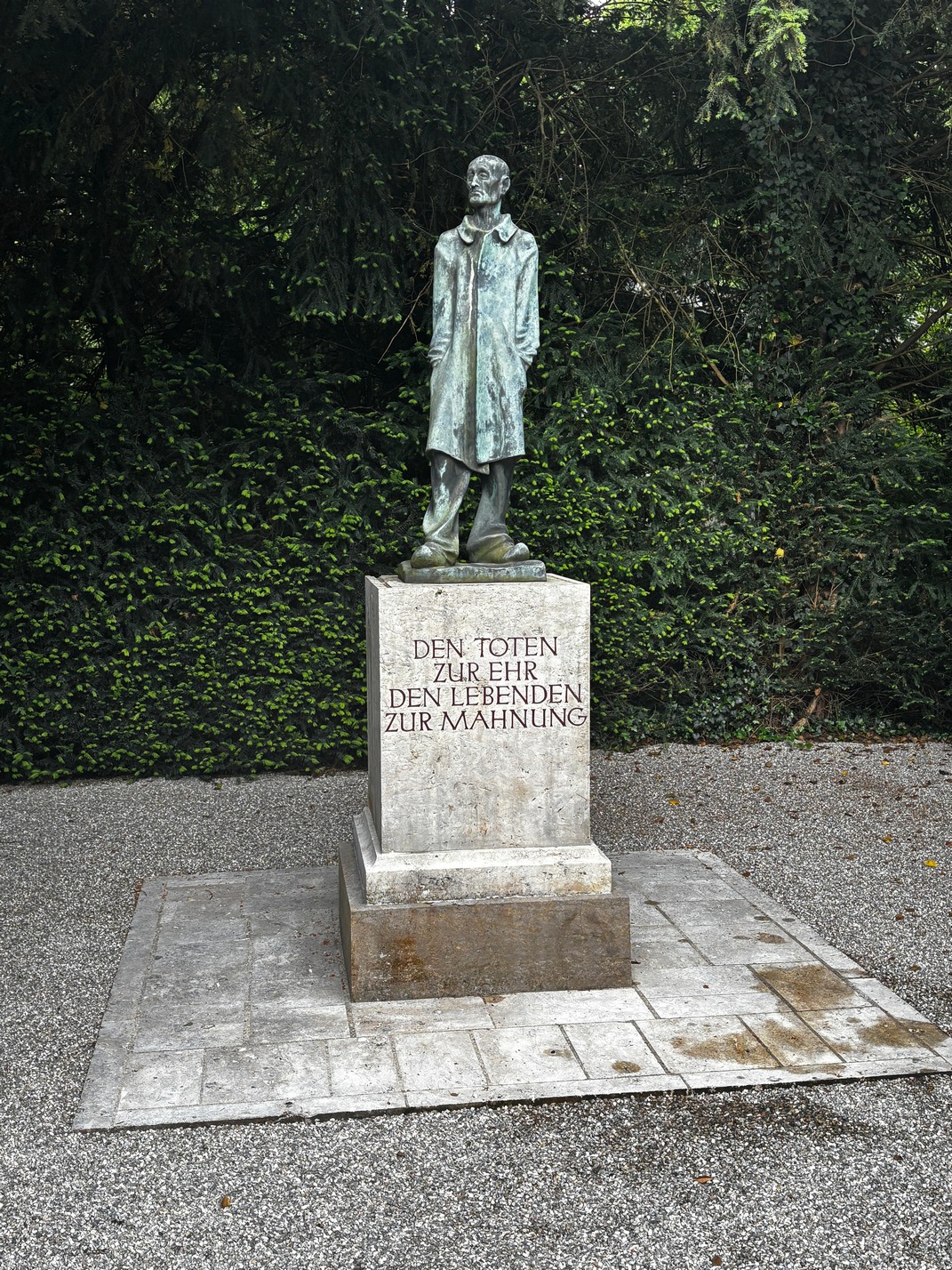
T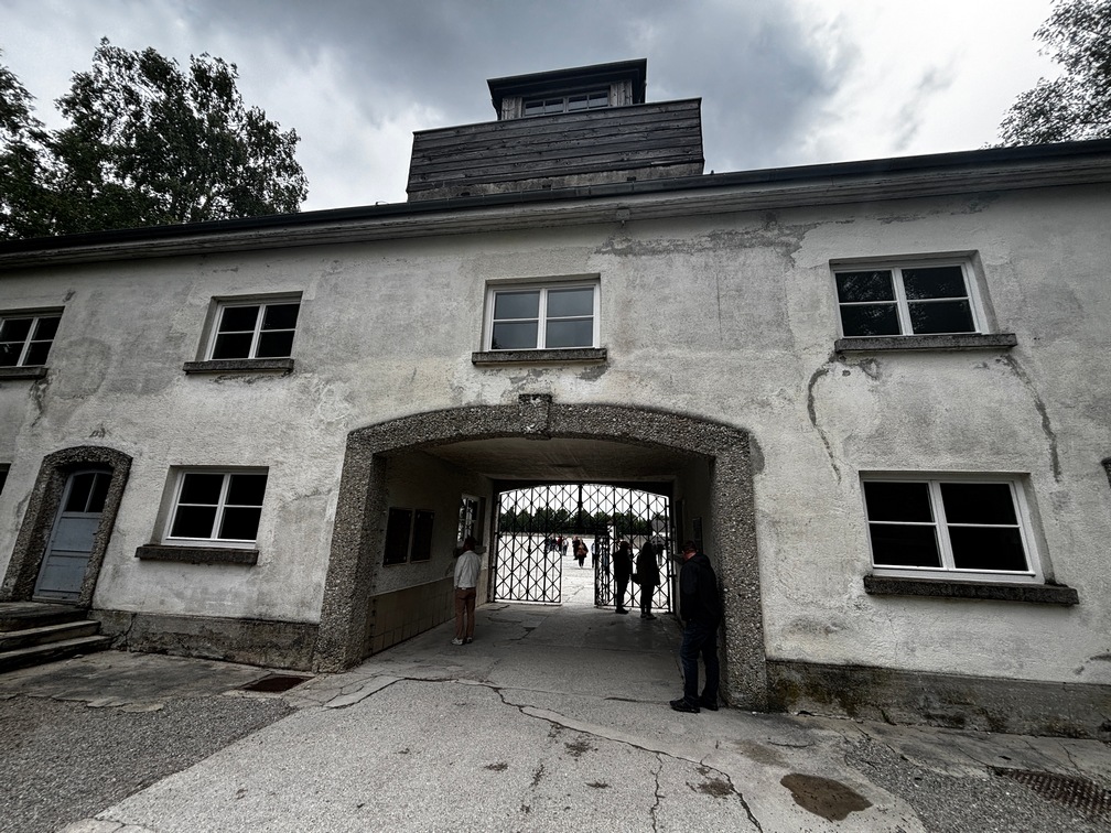 ook train to Dachau then a bus over to the Memorial in the concentration camp. There were a few ovens still
 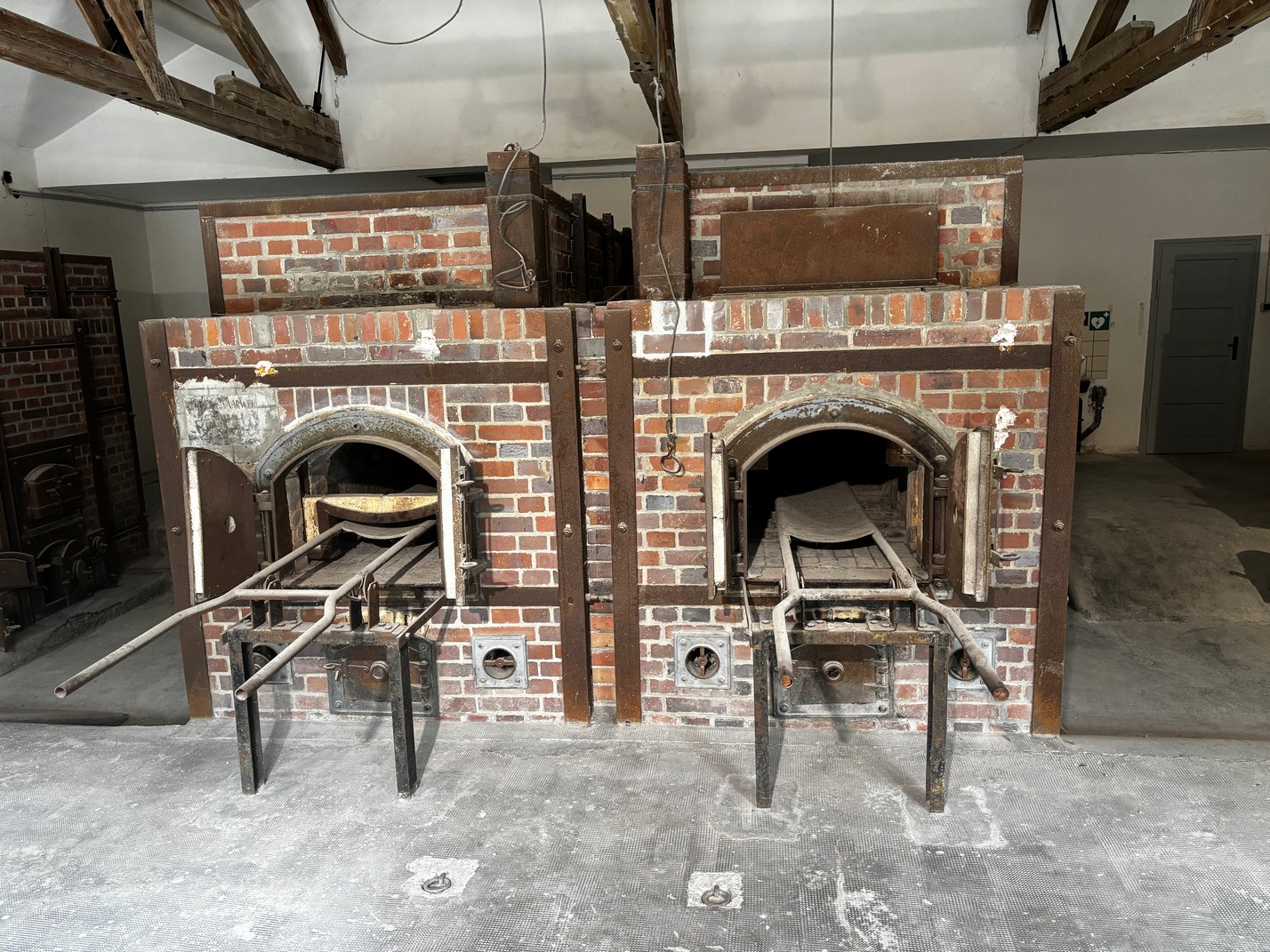 standing next to the gas chamber. It was a somber reminder of what a dictator is capable of. I left there wondering what might happen at home now that there is so much happening that seems a lot like the lead up to 1930’s Germany.
![]()
Japanese restaurant just down the street just outside the mall was very very good. The service was really fast and the food was very tasty.
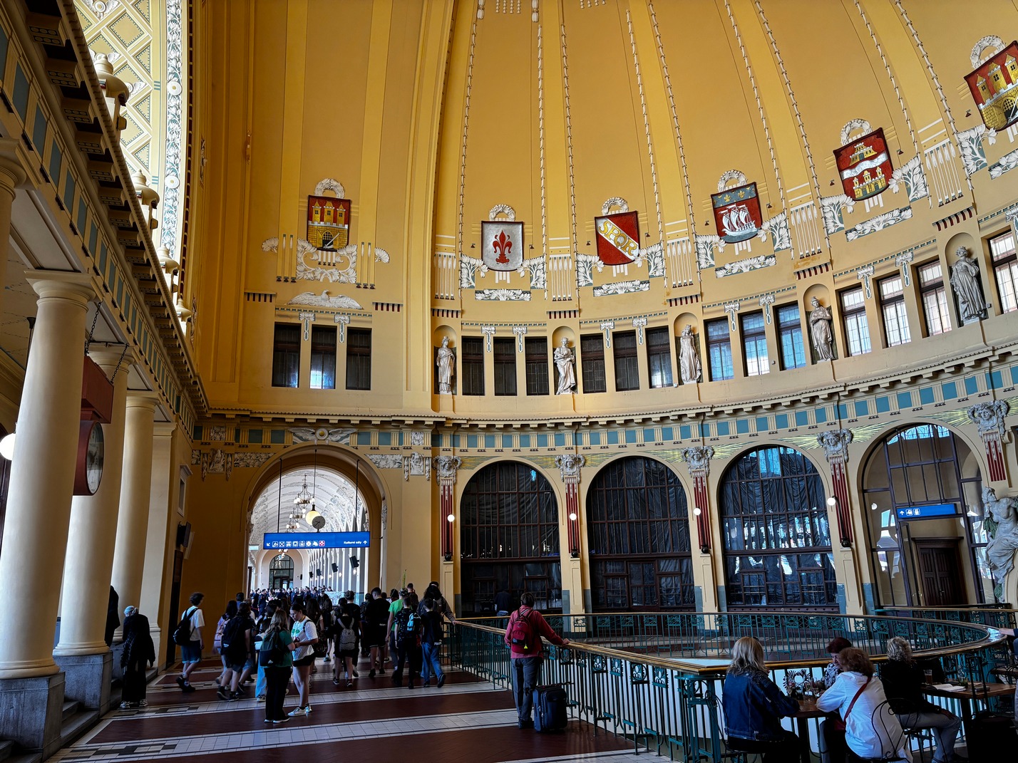
Took a morning train from the main station to Prague mid morning. It was another 5 hours train ride. But fairly comfortable.
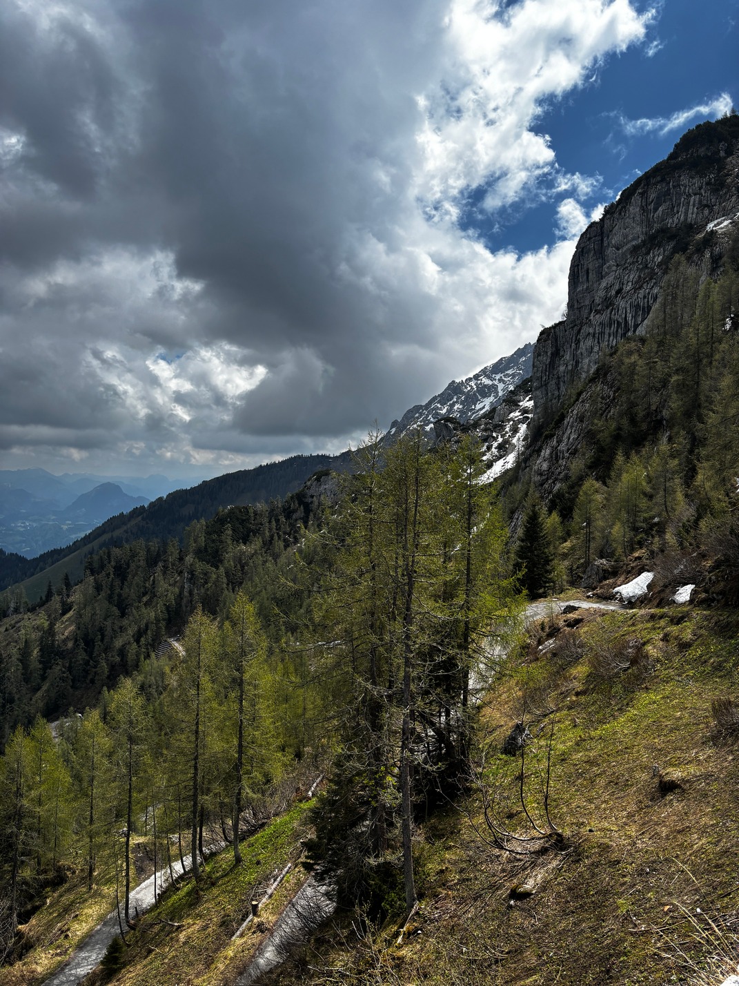
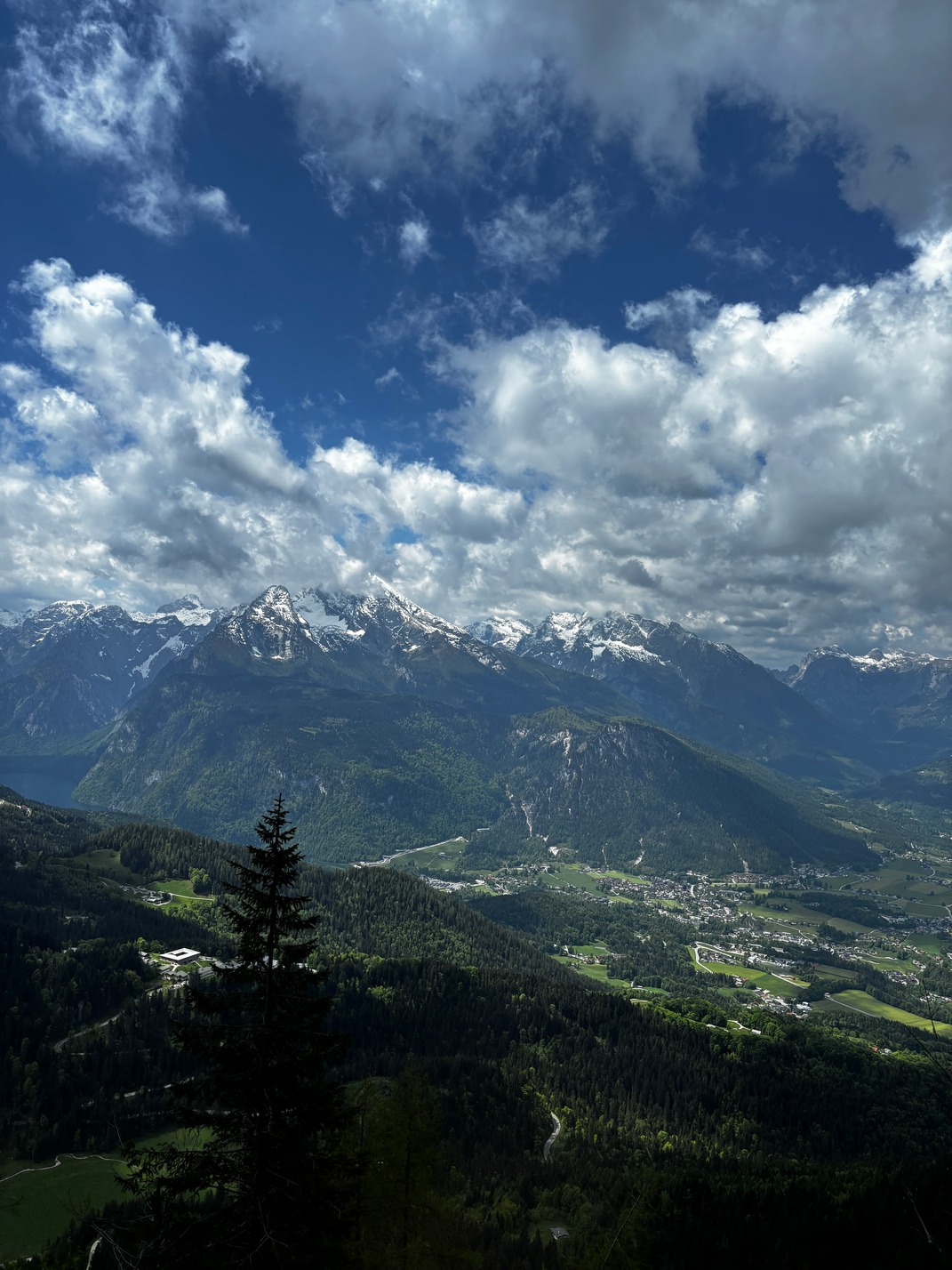
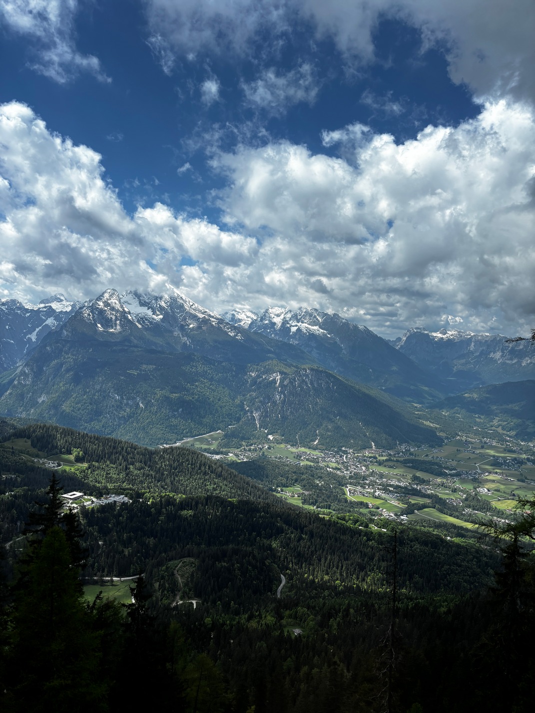
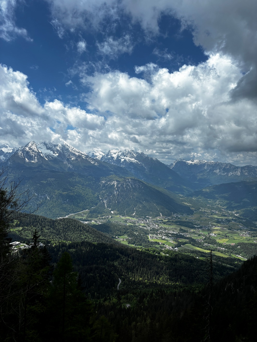
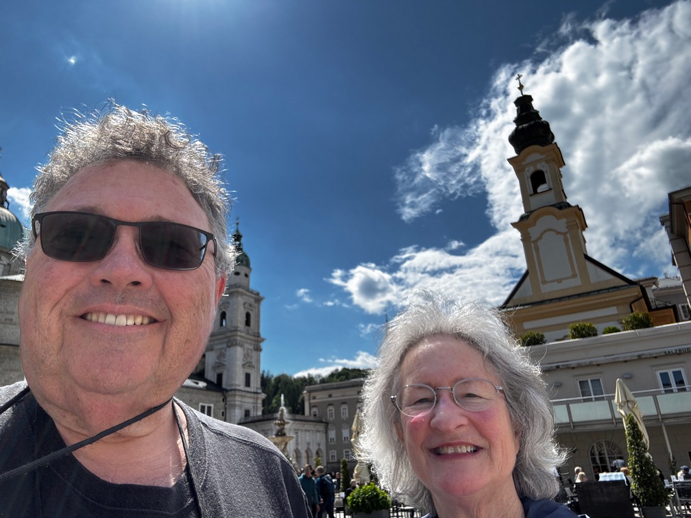
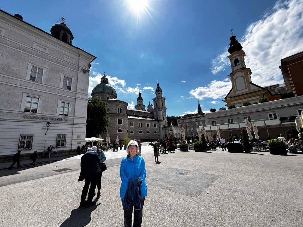
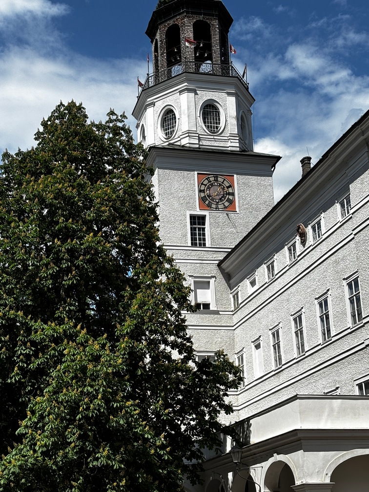
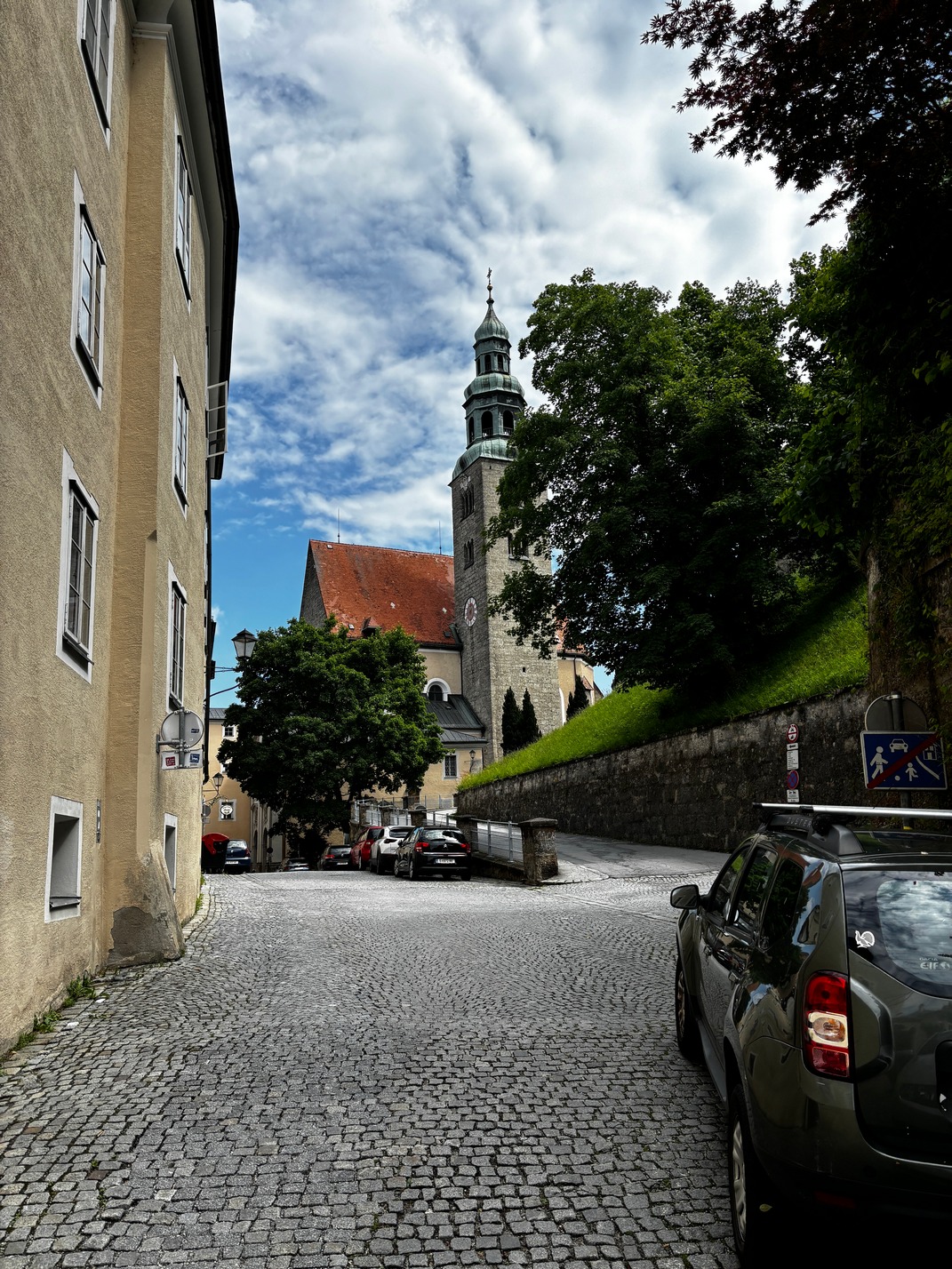
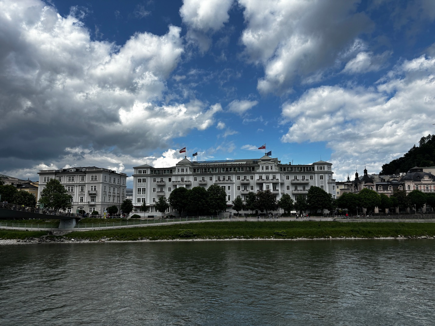
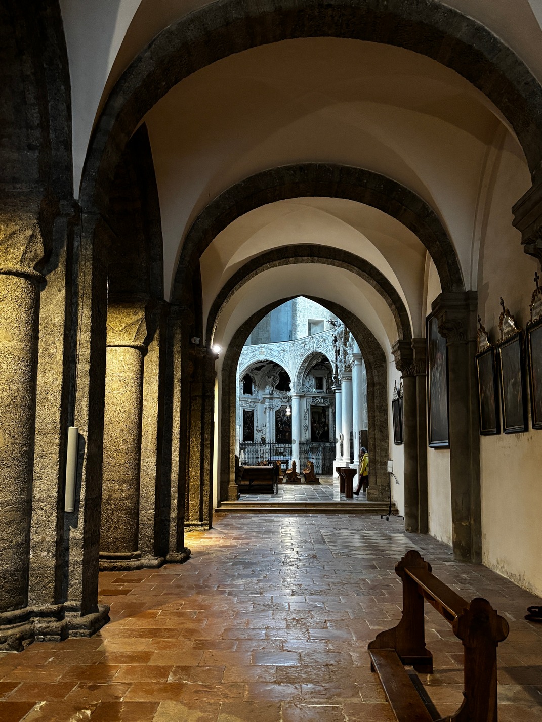
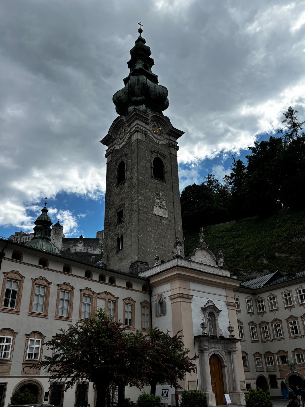
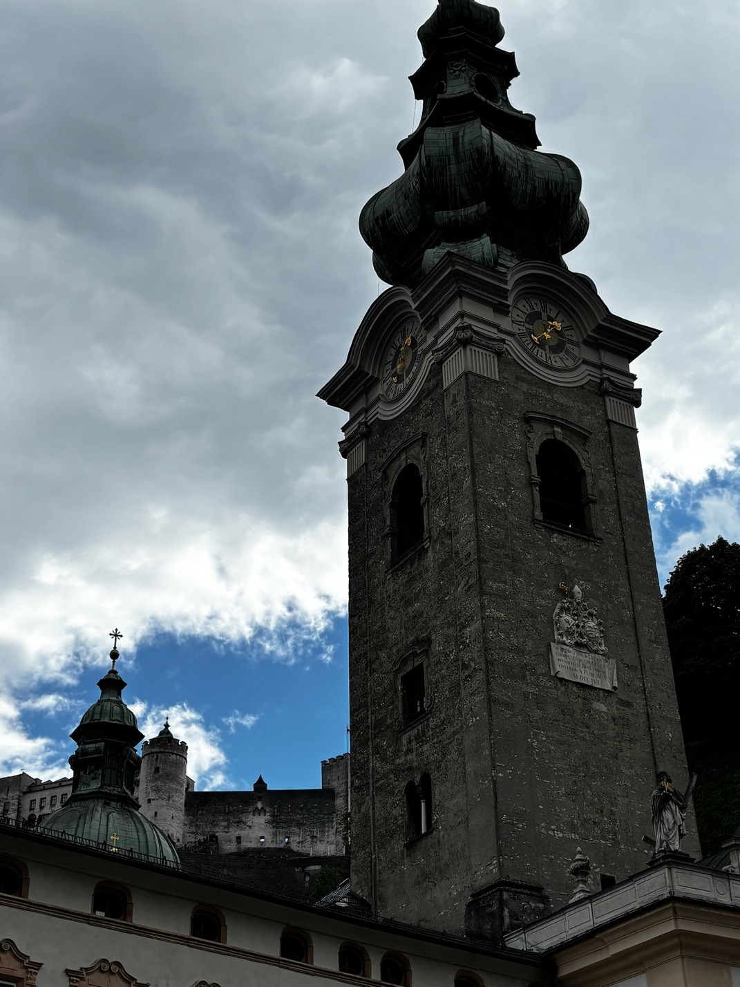
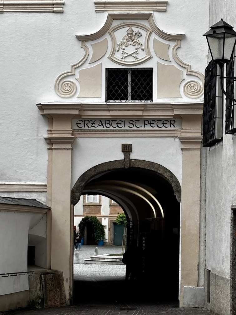
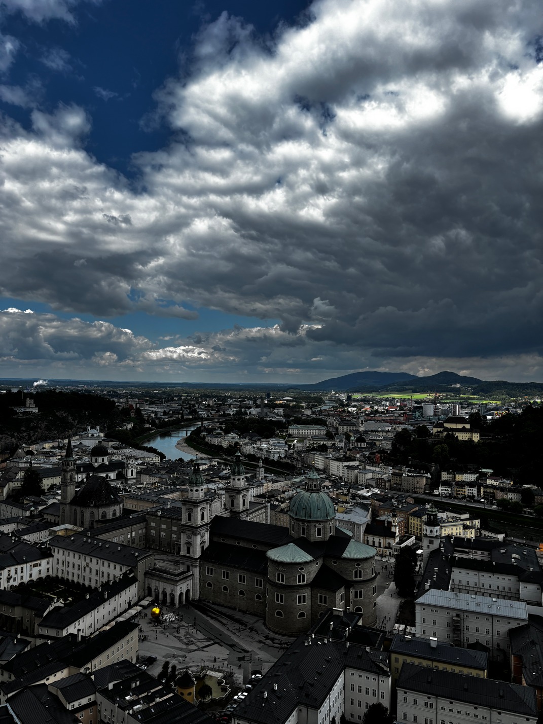
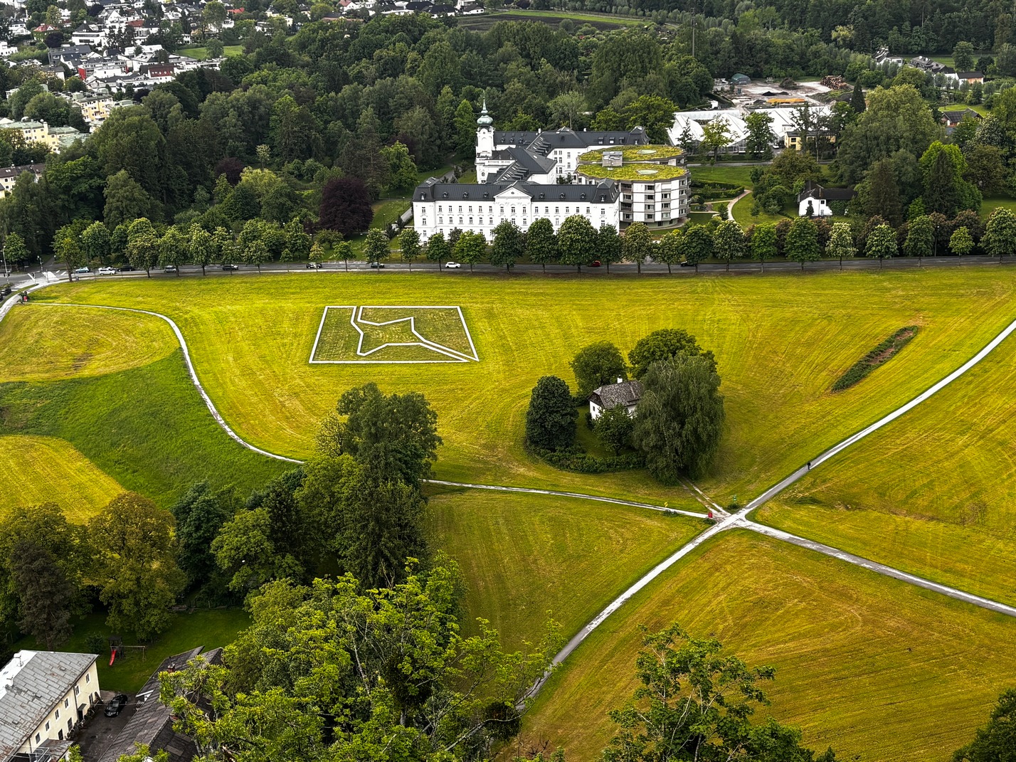
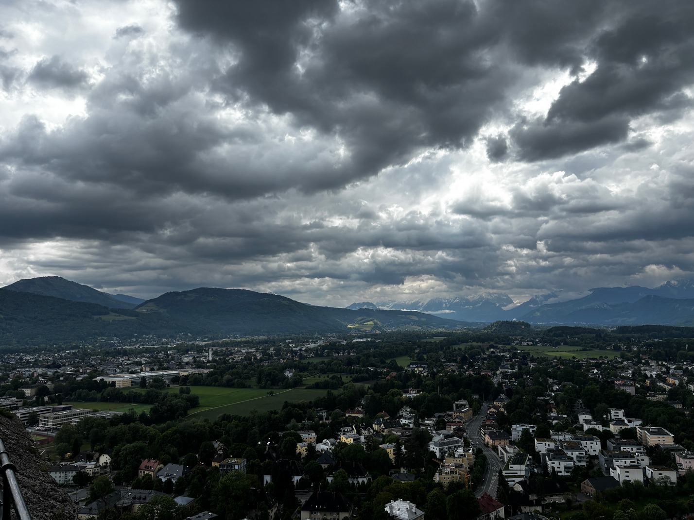
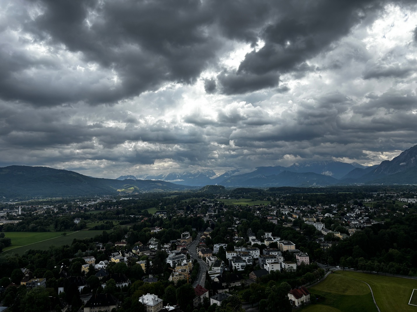
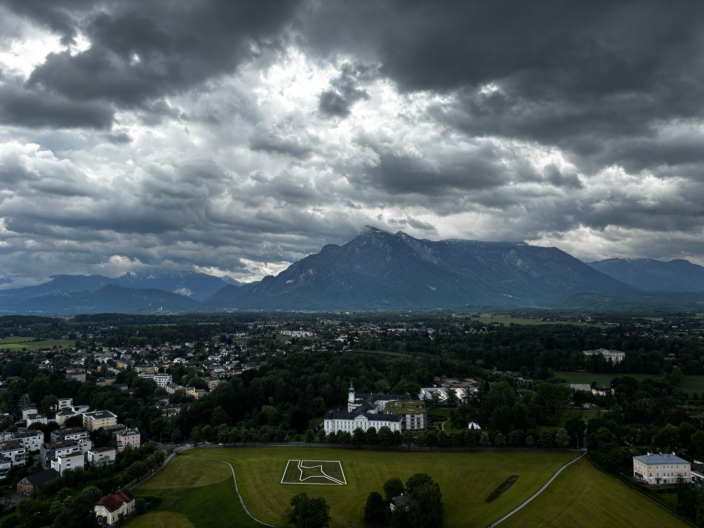
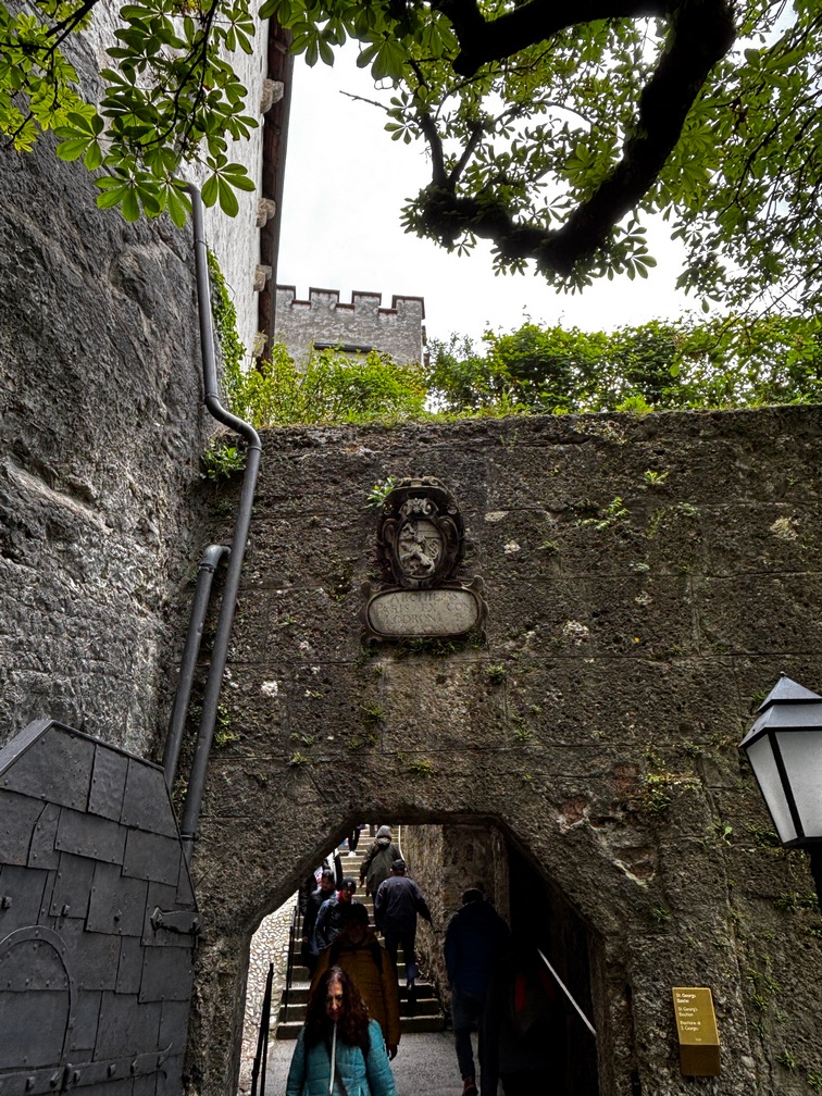
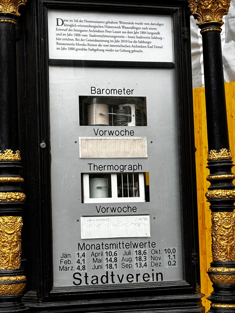
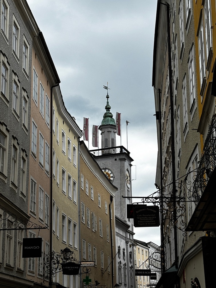
Salzburg Austria
We arrived in Salzburg Hbf and I called an Uber. (the taxi in Vienna was a rip off 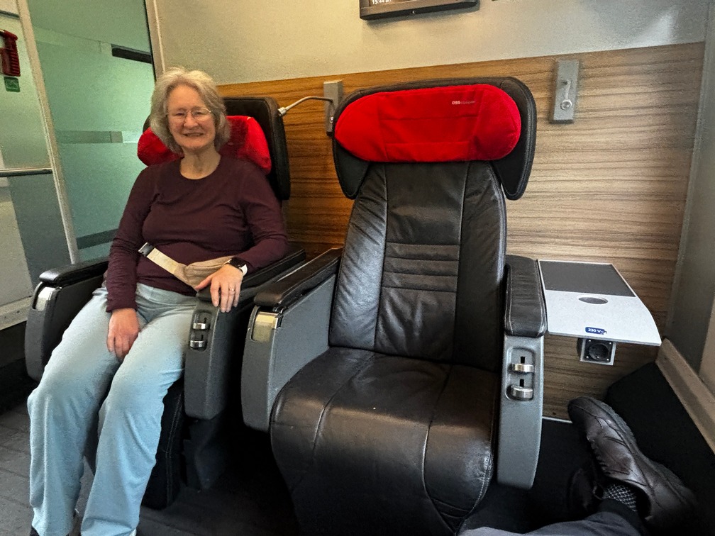
 charging double what Uber and bolt said it would cost) It was about a 15 minute ride to the hotel which was on the outskirts of the city.
We checked in. they told us that part of the city room tax paid for transit passes by the guy behind desk. It was for all public transit in Salzburg. Wow. We were informed at checking that Breakfast was €20 unless you ordered it the night before, then it was €15. We took advantage of the €15 deal for the first day to see if it was worth it. It was decent so we stuck with that for the rest of the time in Salzburg. There were a lot of restaurants nearby but they didn’t open till after 8 or 9am, a bit late when you have a tendency to wake up around 6am each morning and needed a jolt of coffee to wake up.
We found out that the free transit was a recent change in Salzburg, having your room tax pays for free access to all public transit the whole time you stay in Salzburg! We took advantage of that! Many times
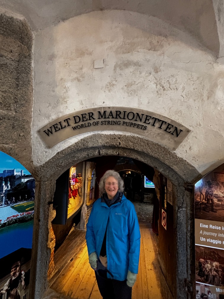
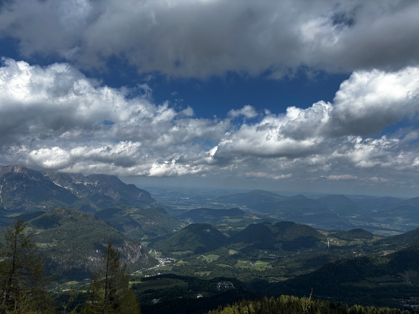
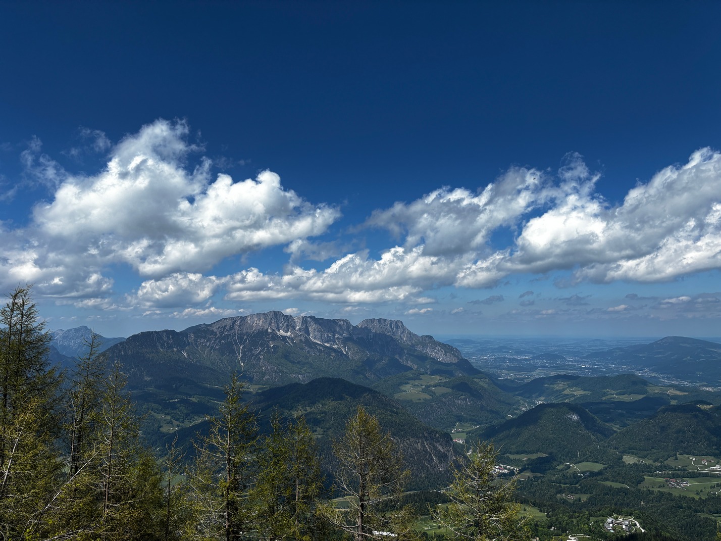
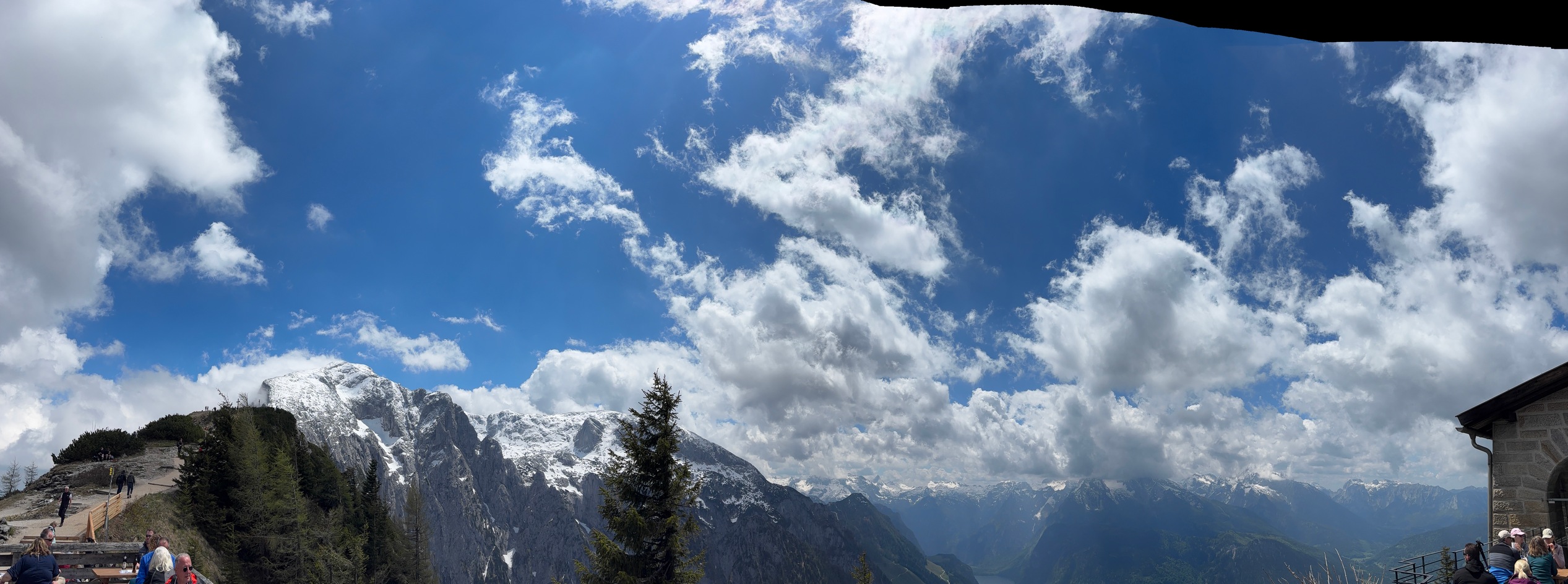
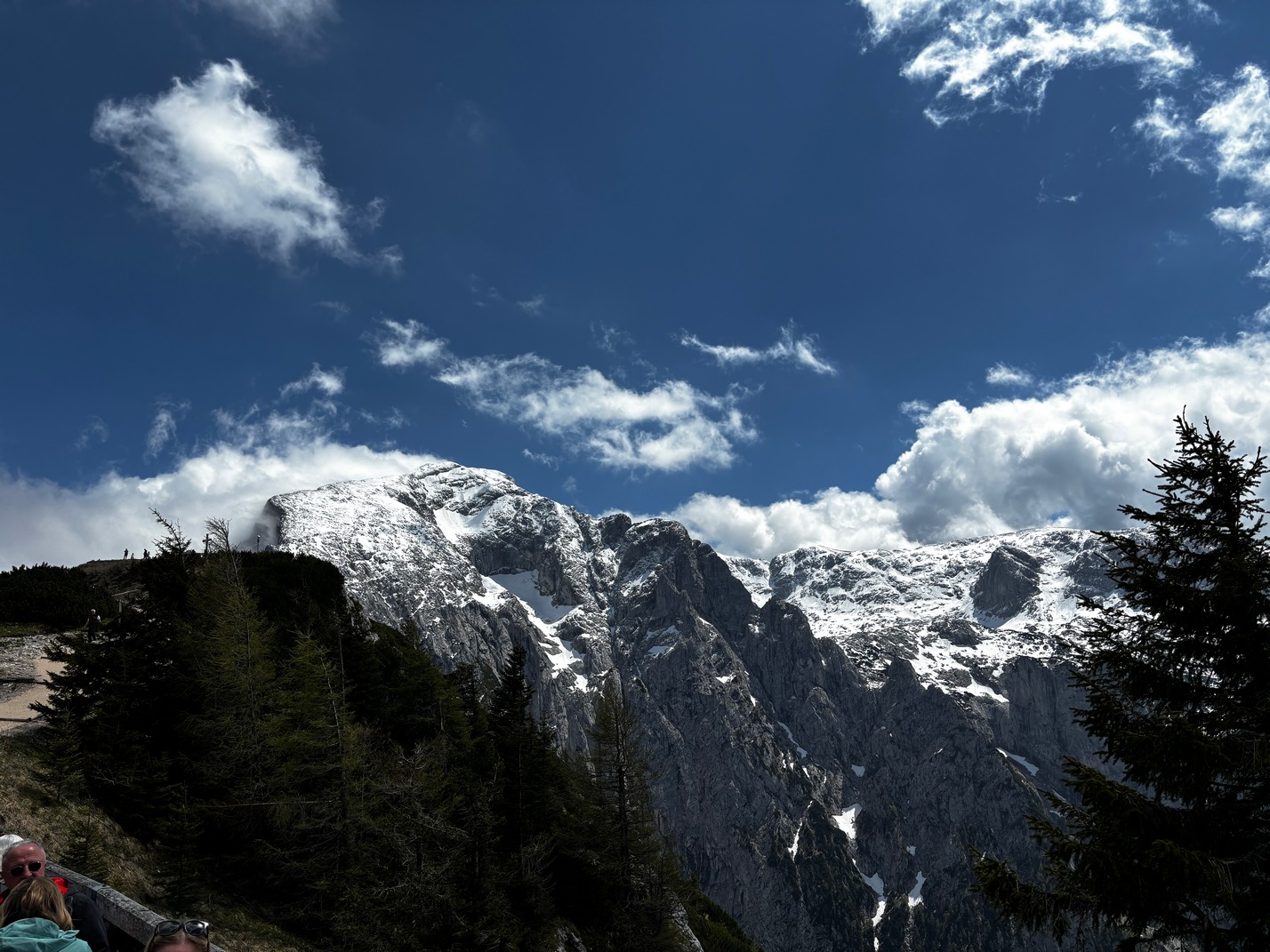
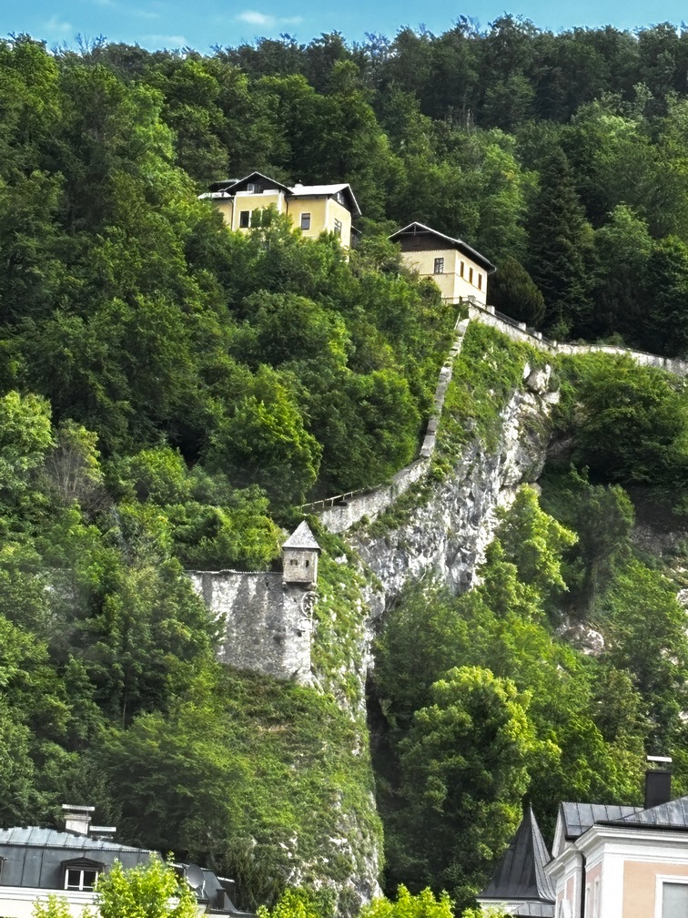
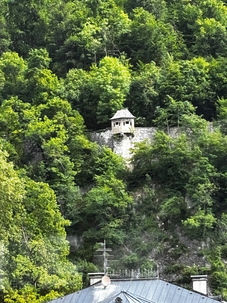
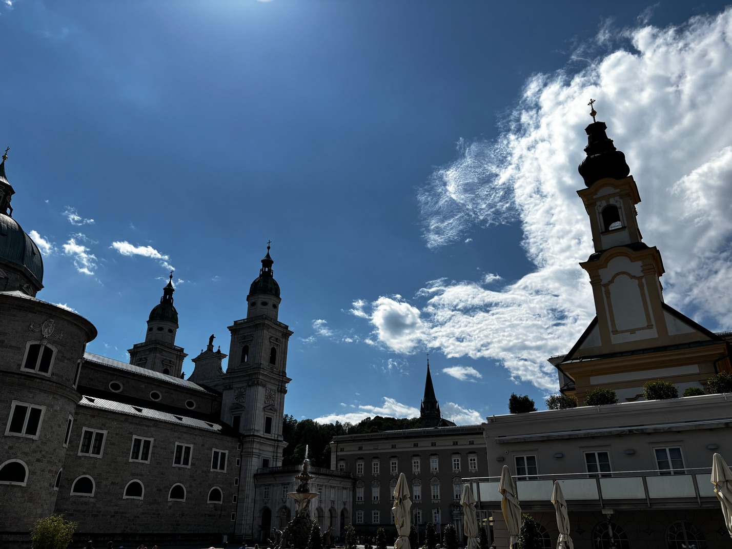
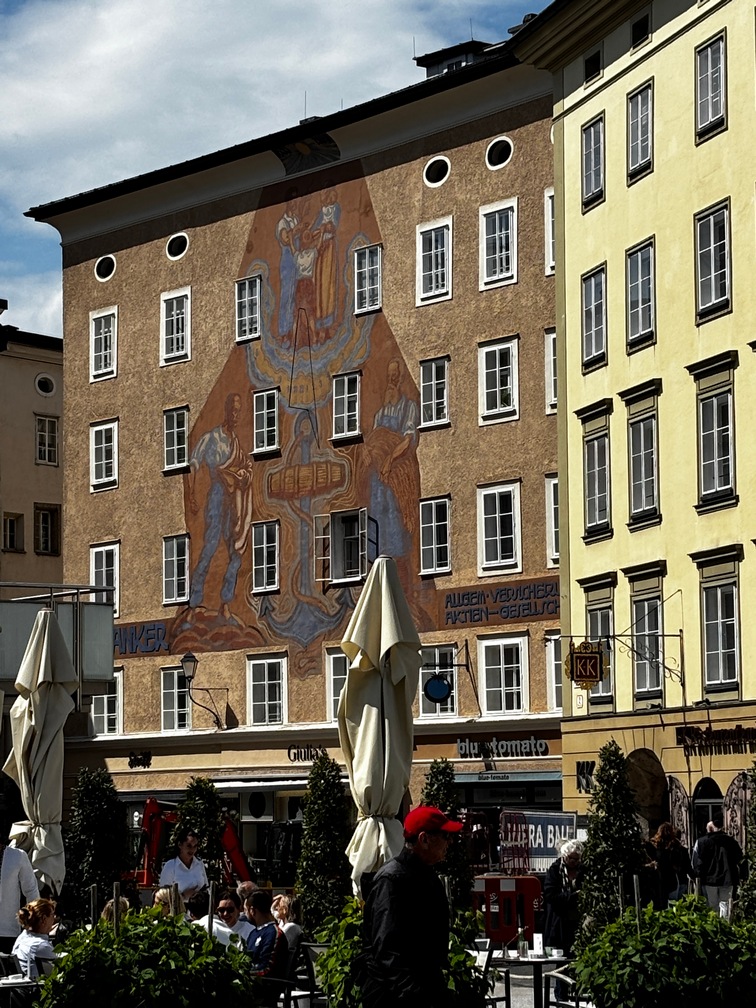
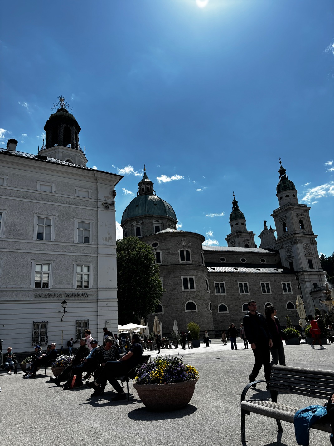
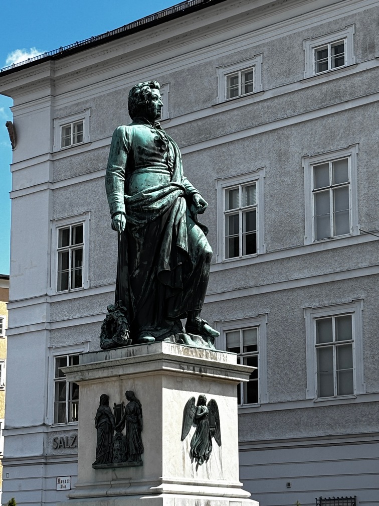
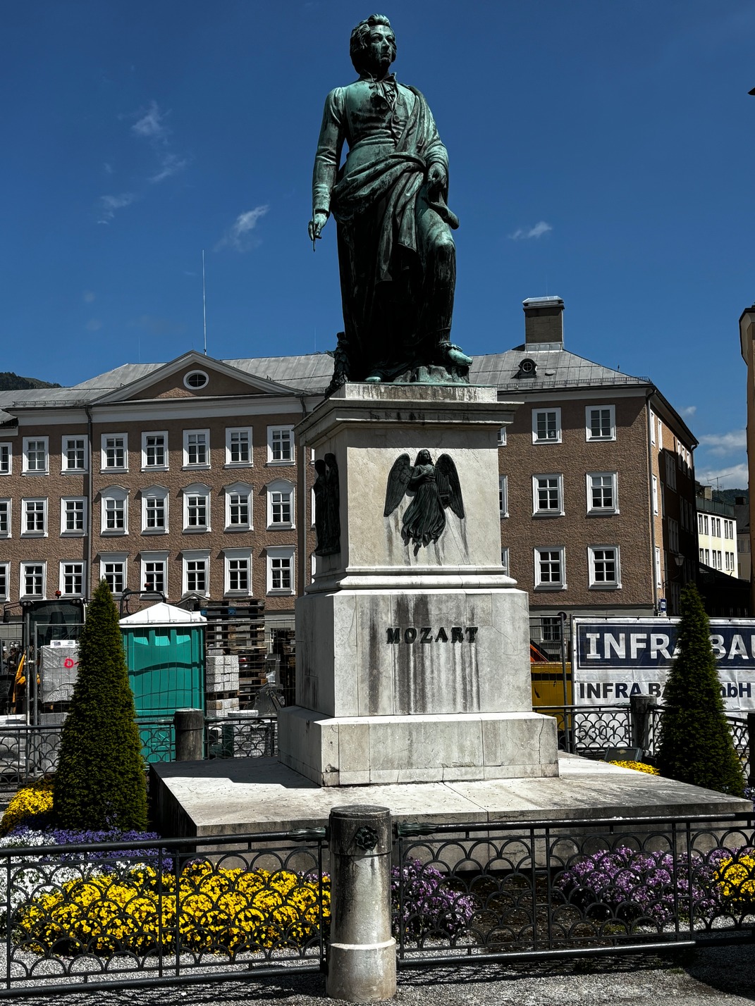
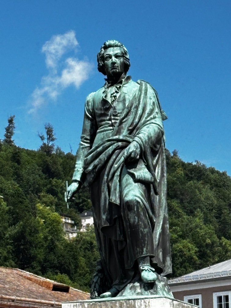
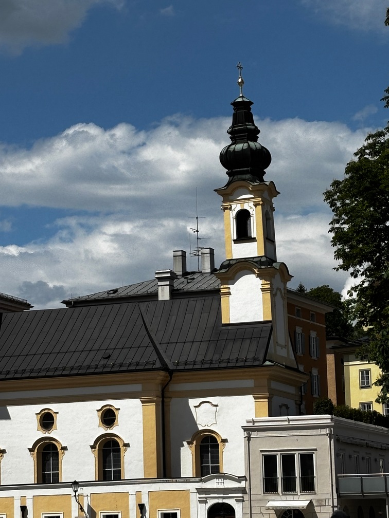
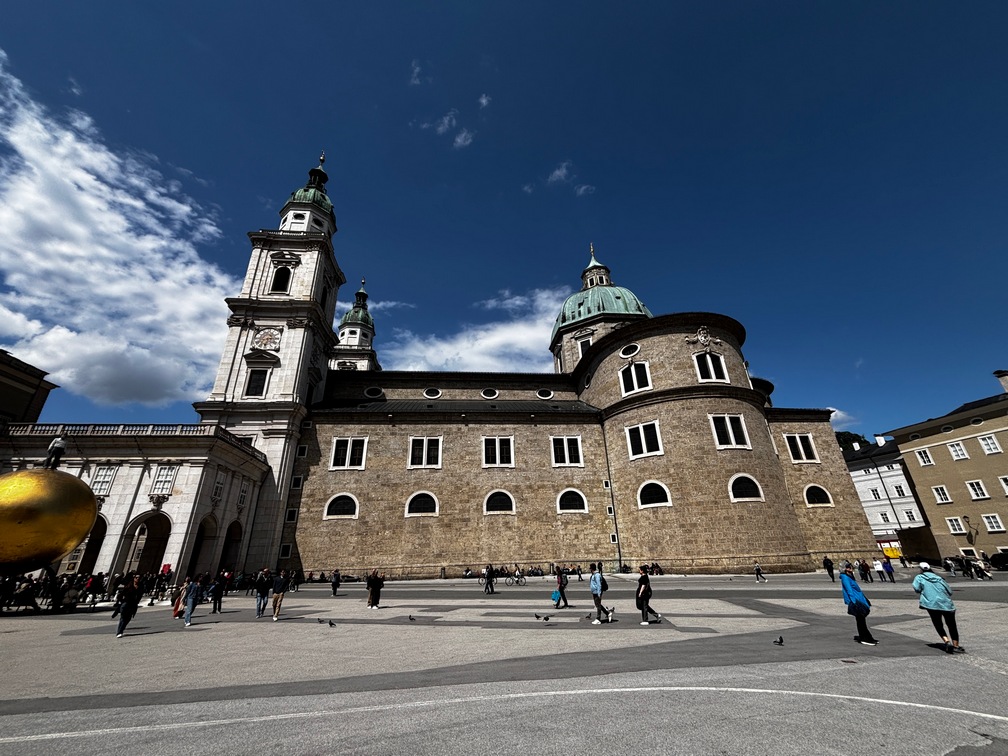
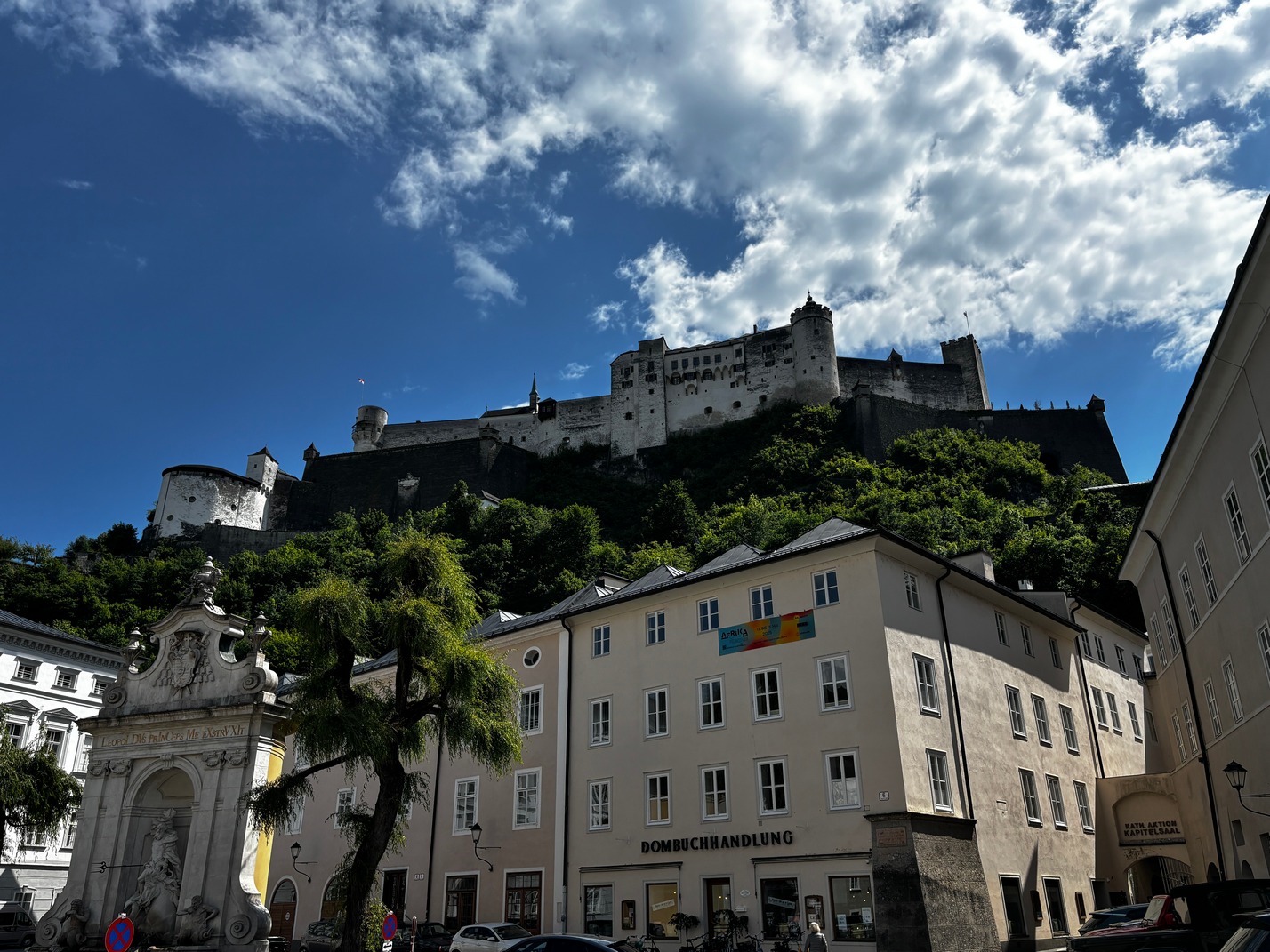
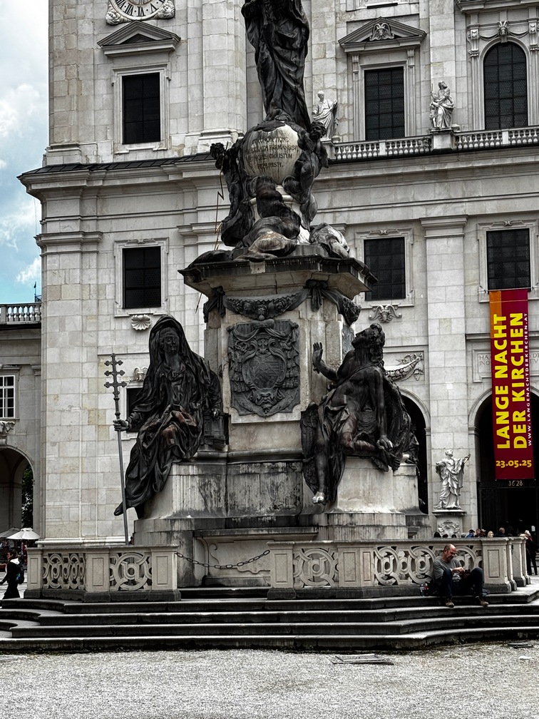
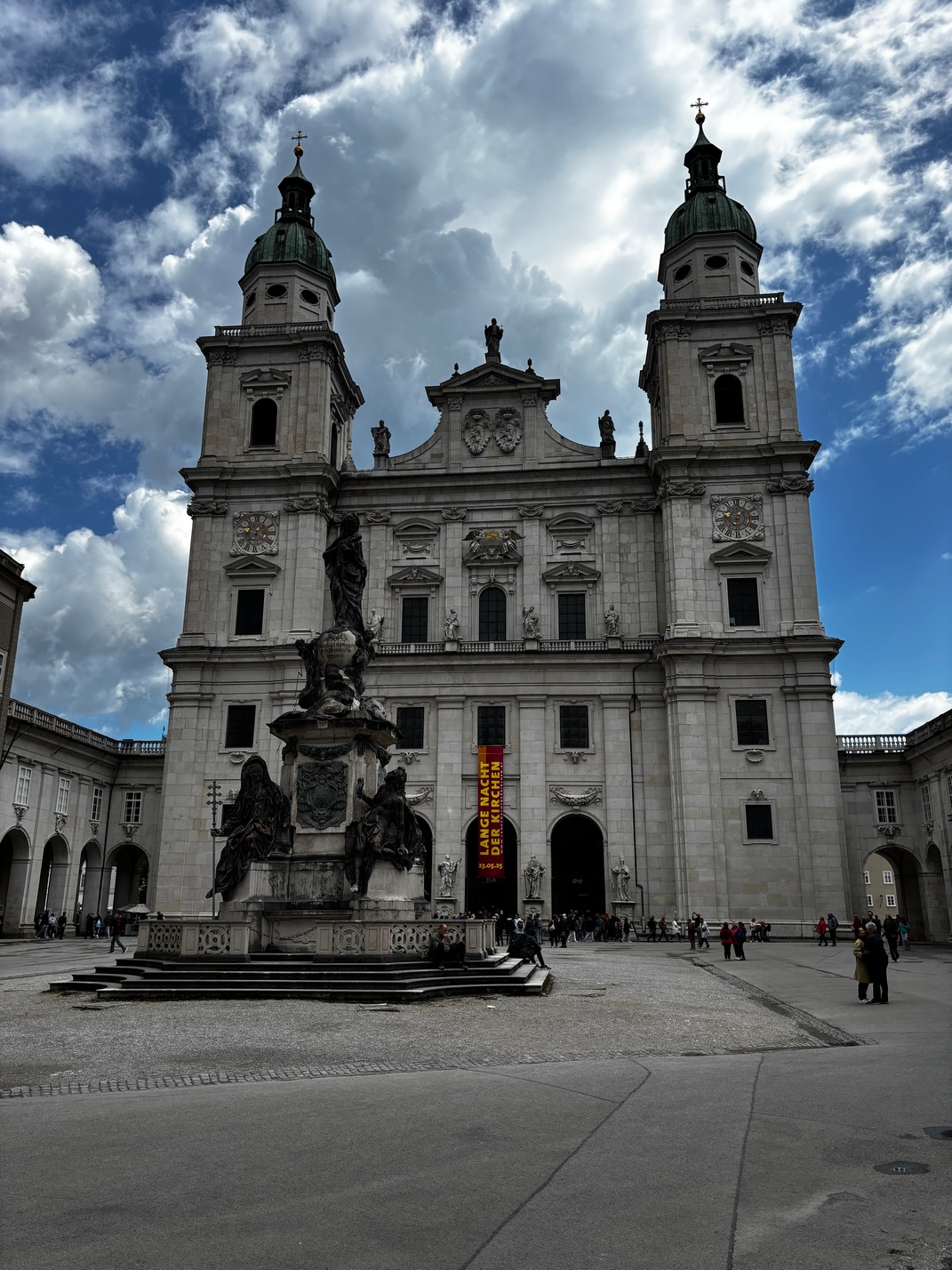
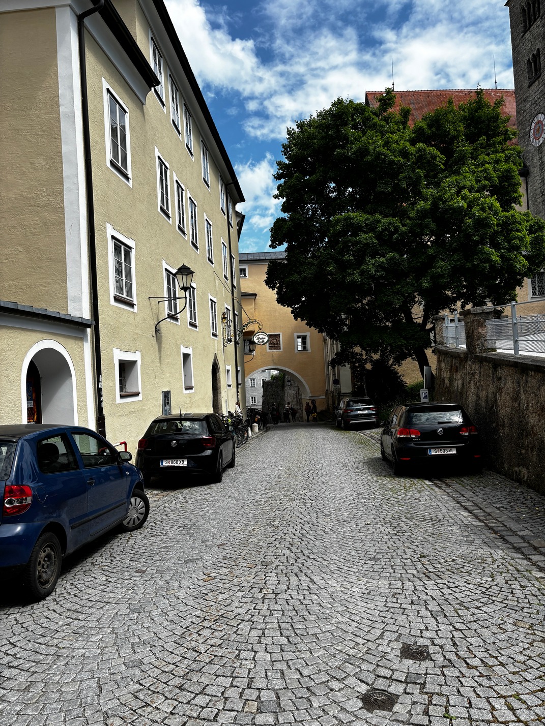
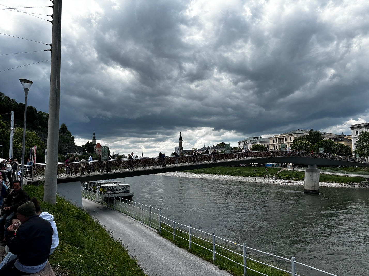
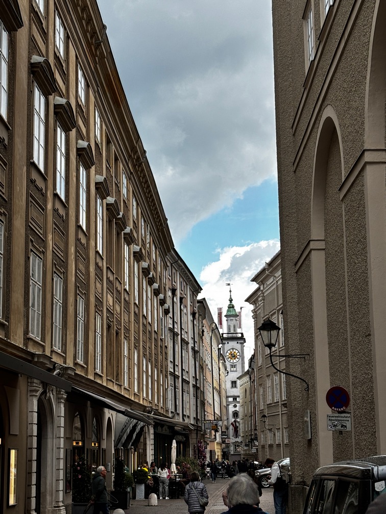
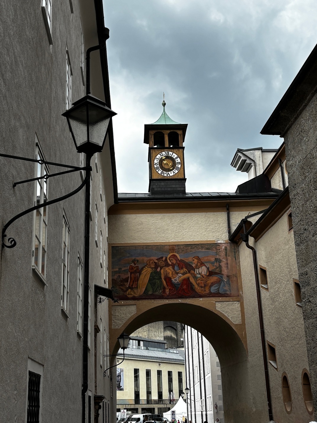
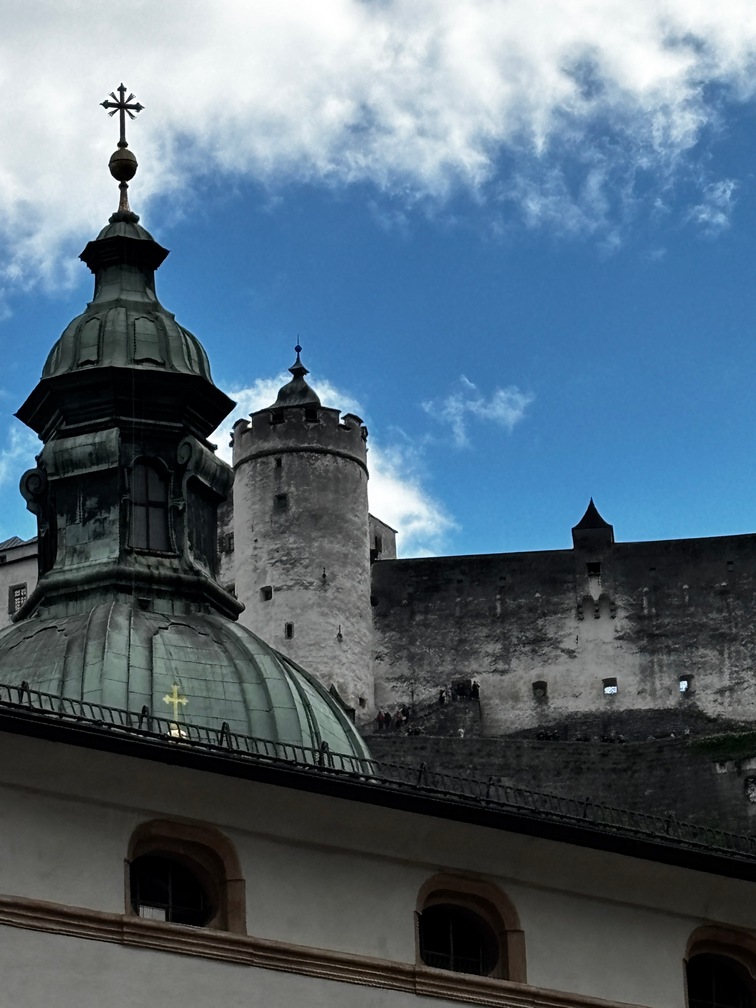
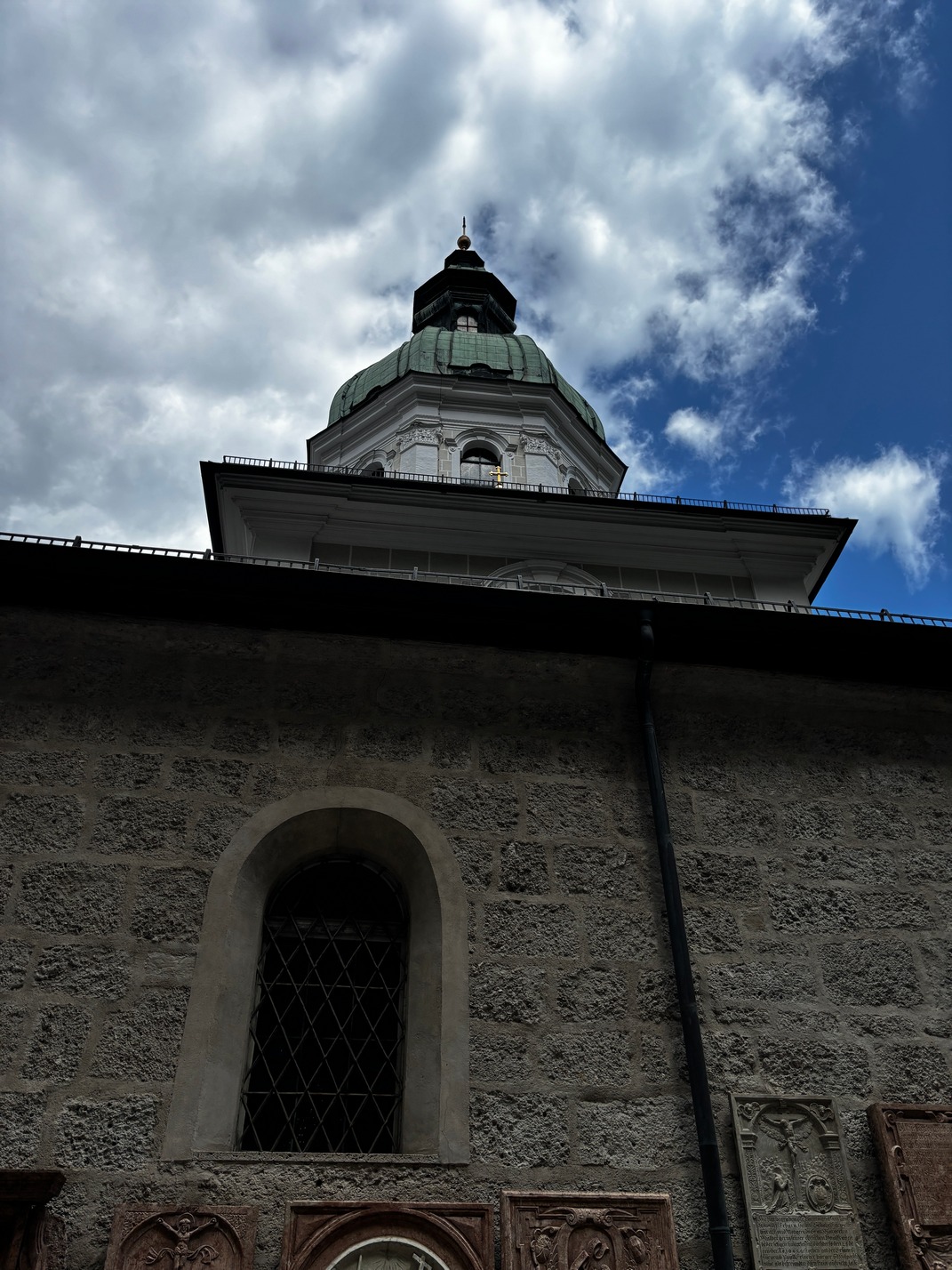
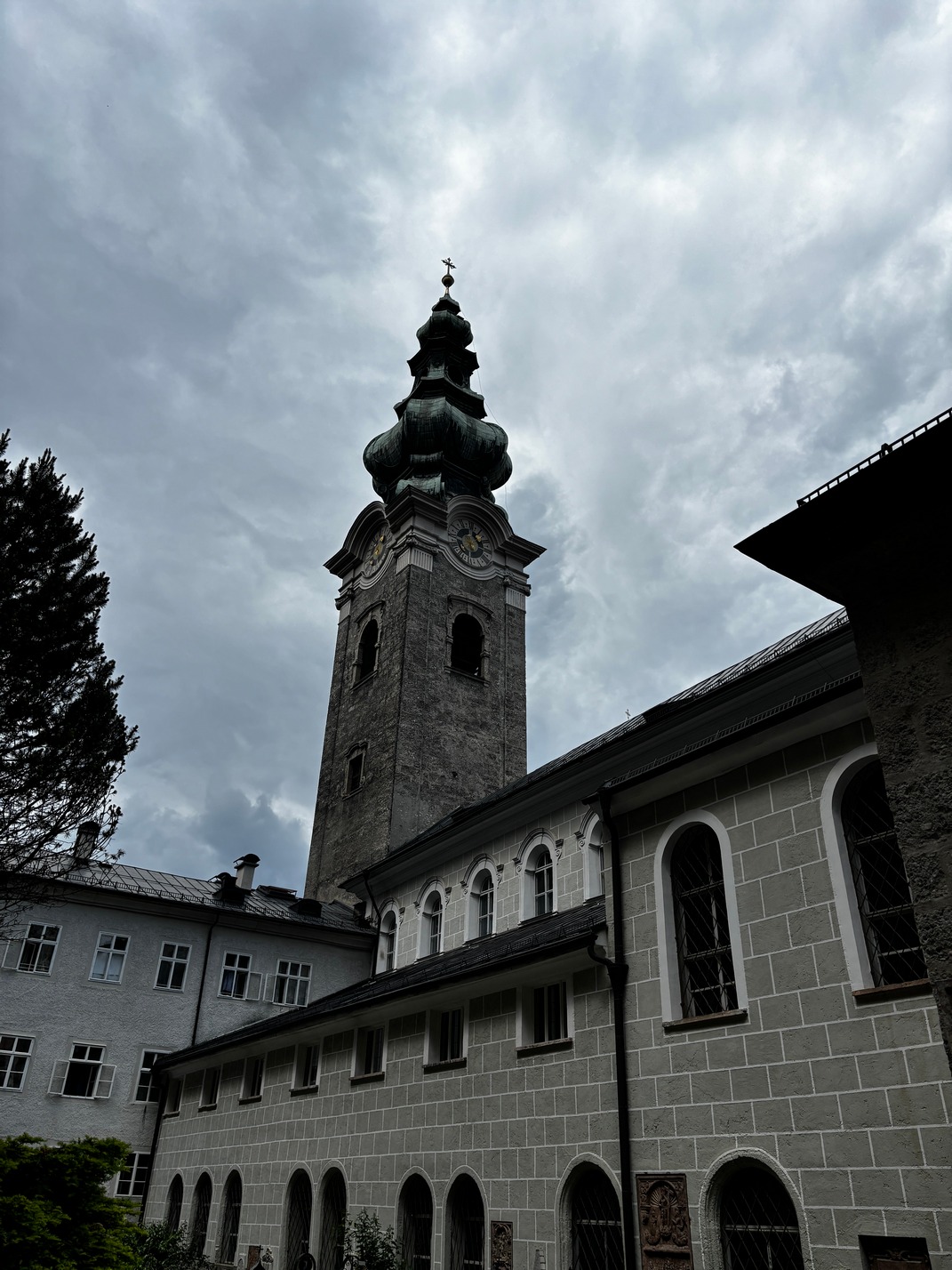
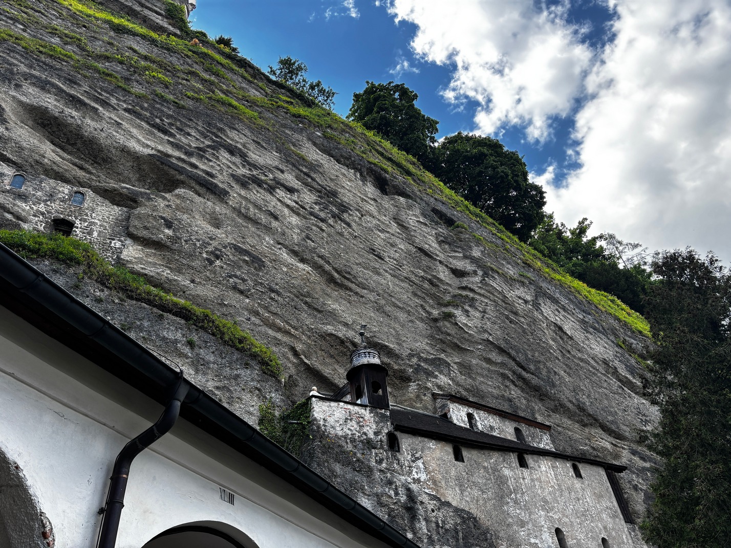
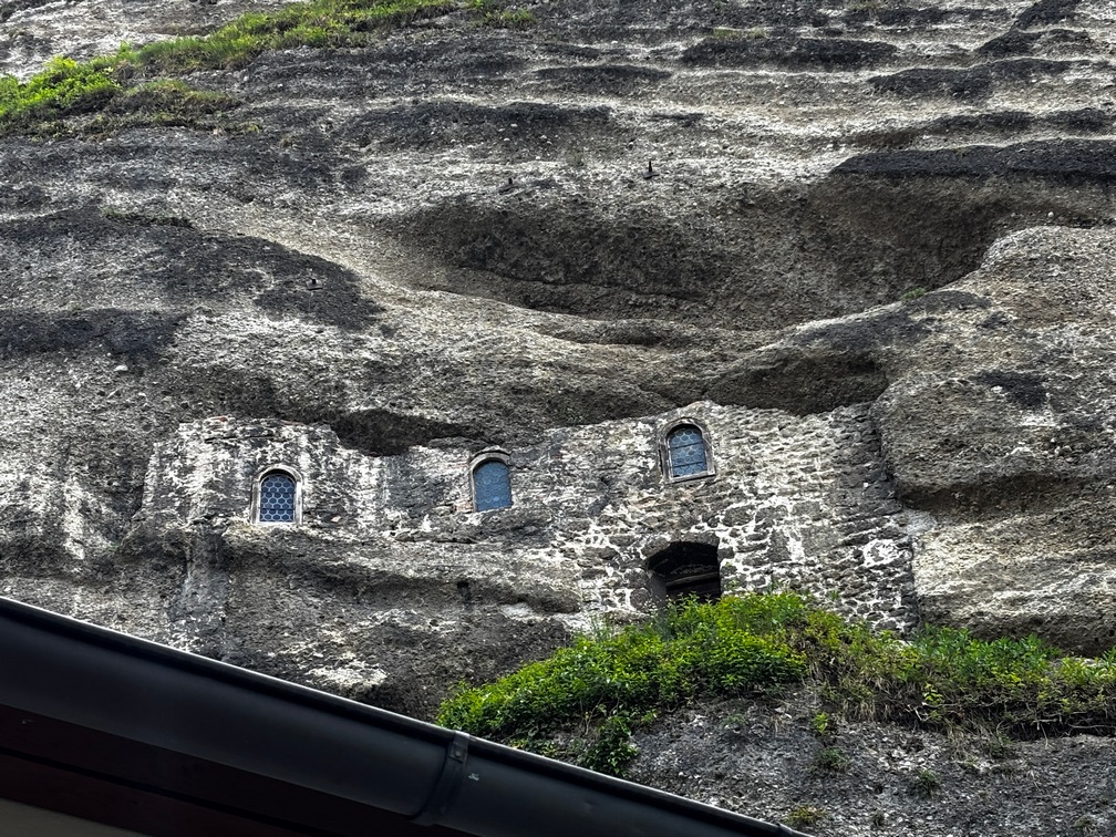
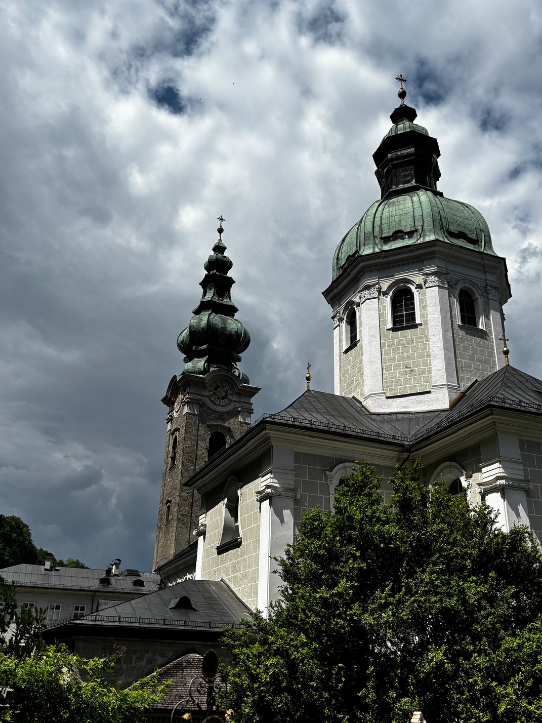
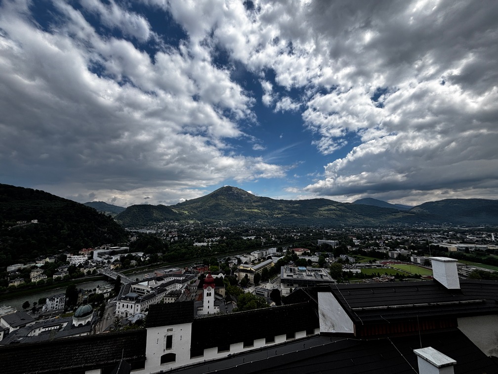
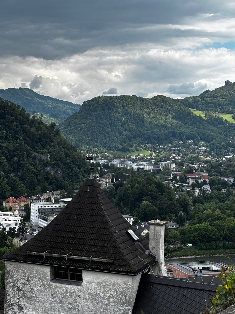
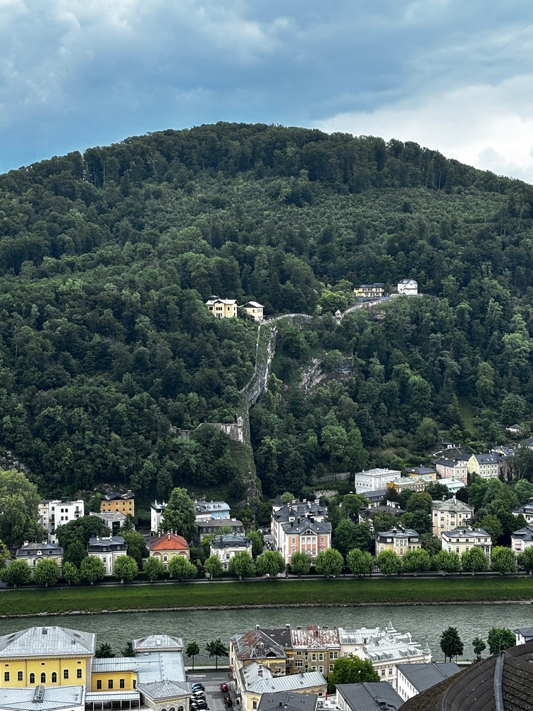
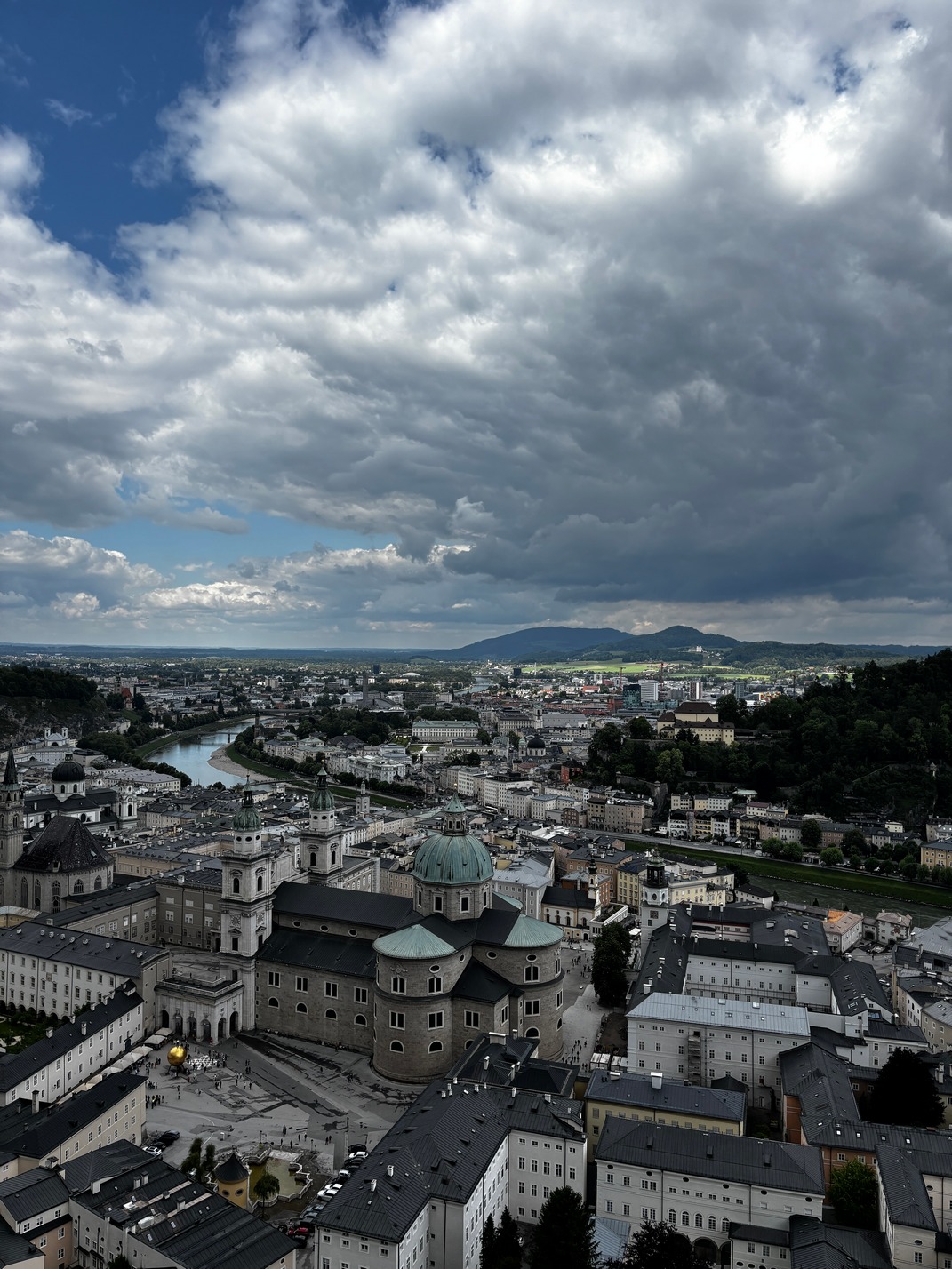
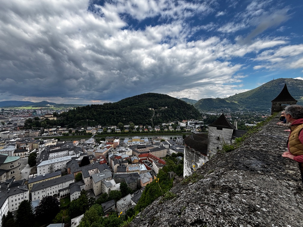
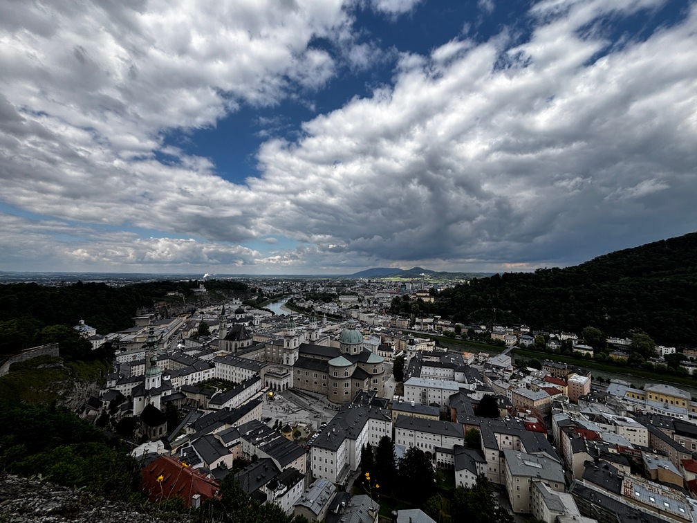
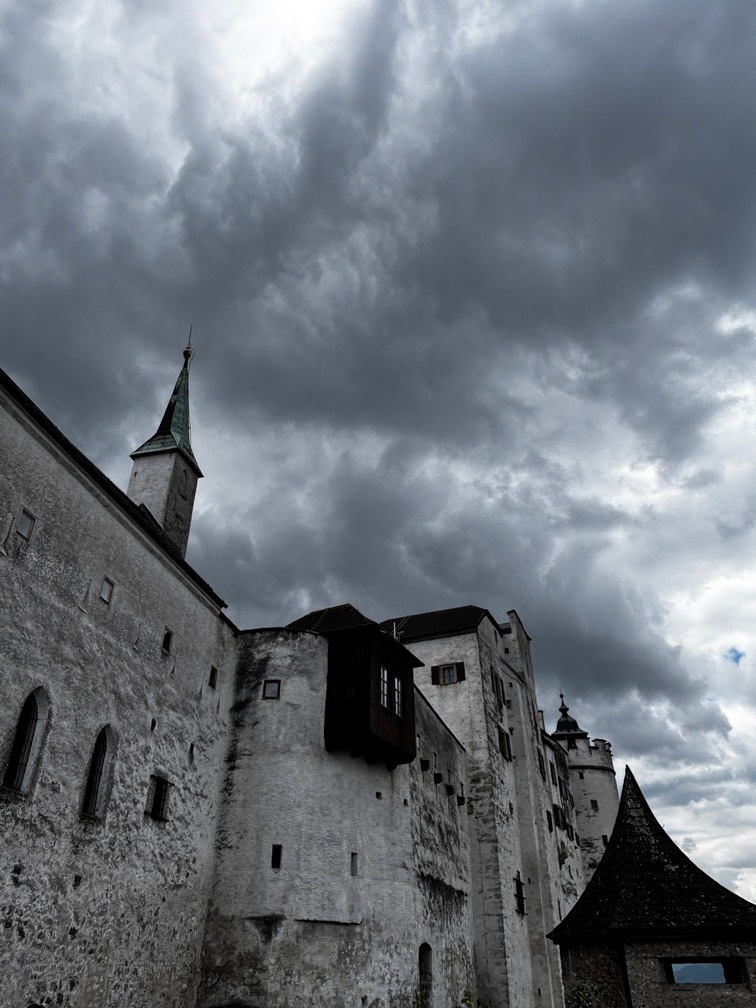
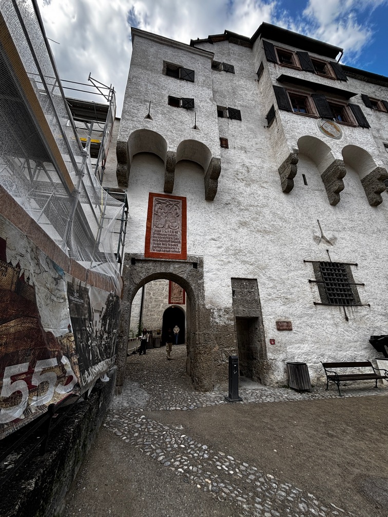
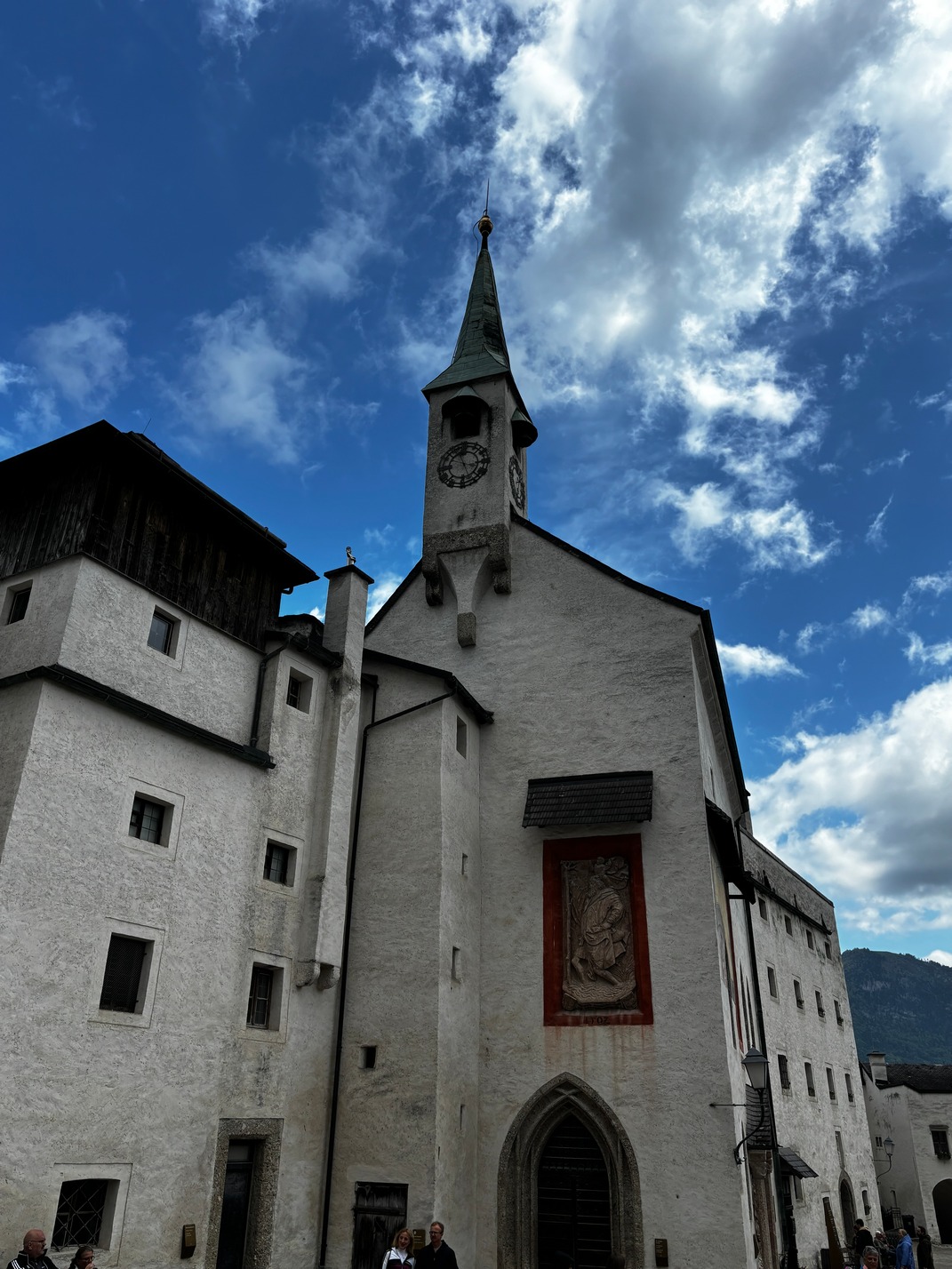
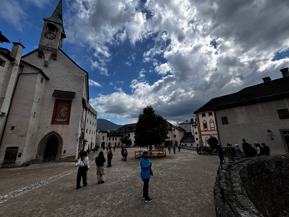
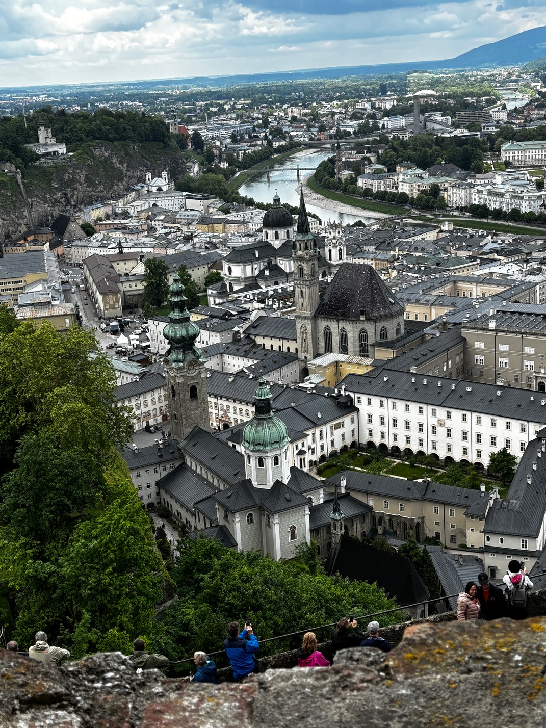
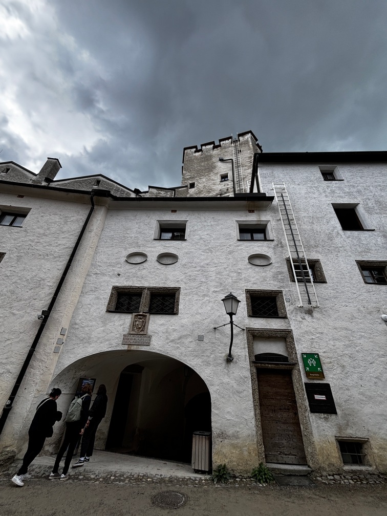
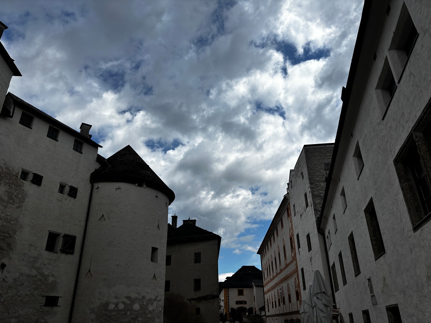
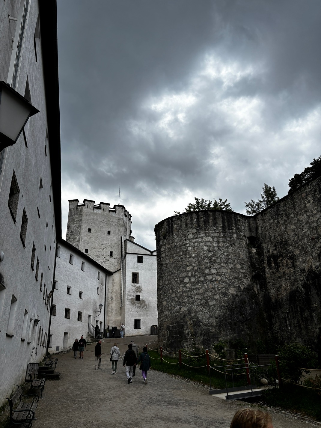
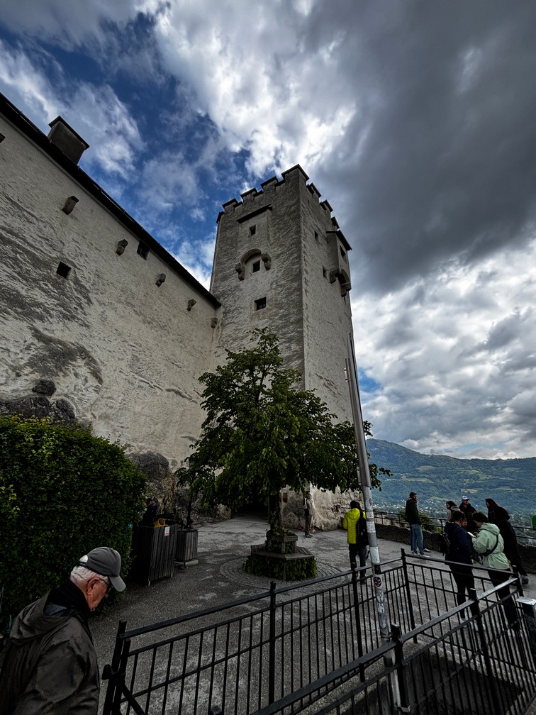
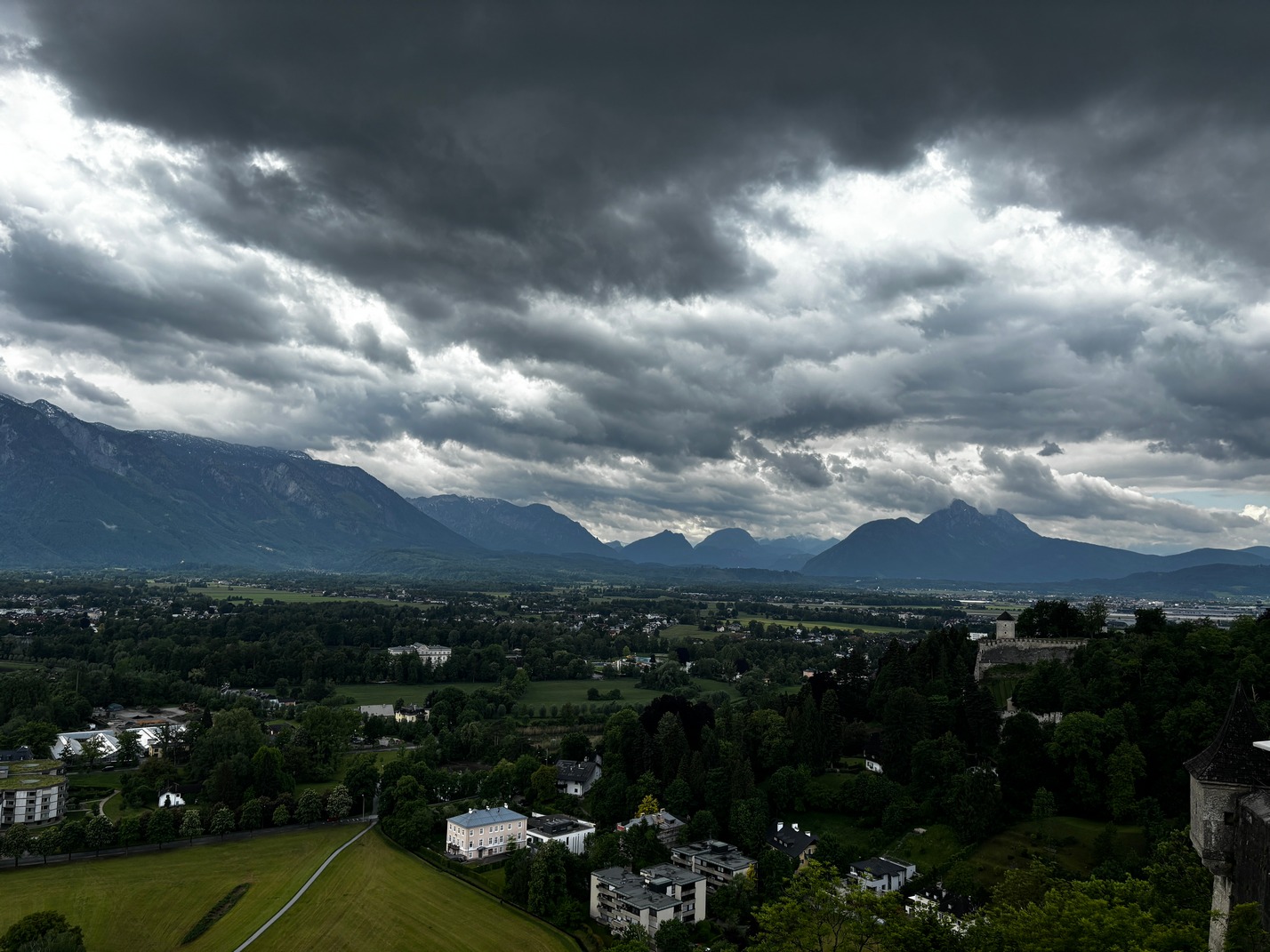
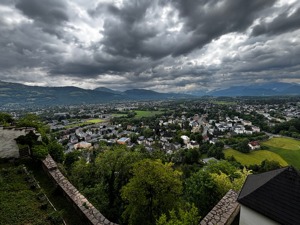
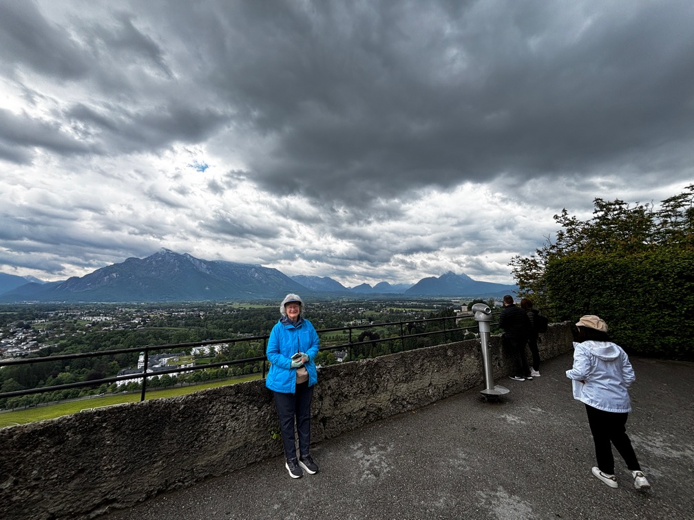
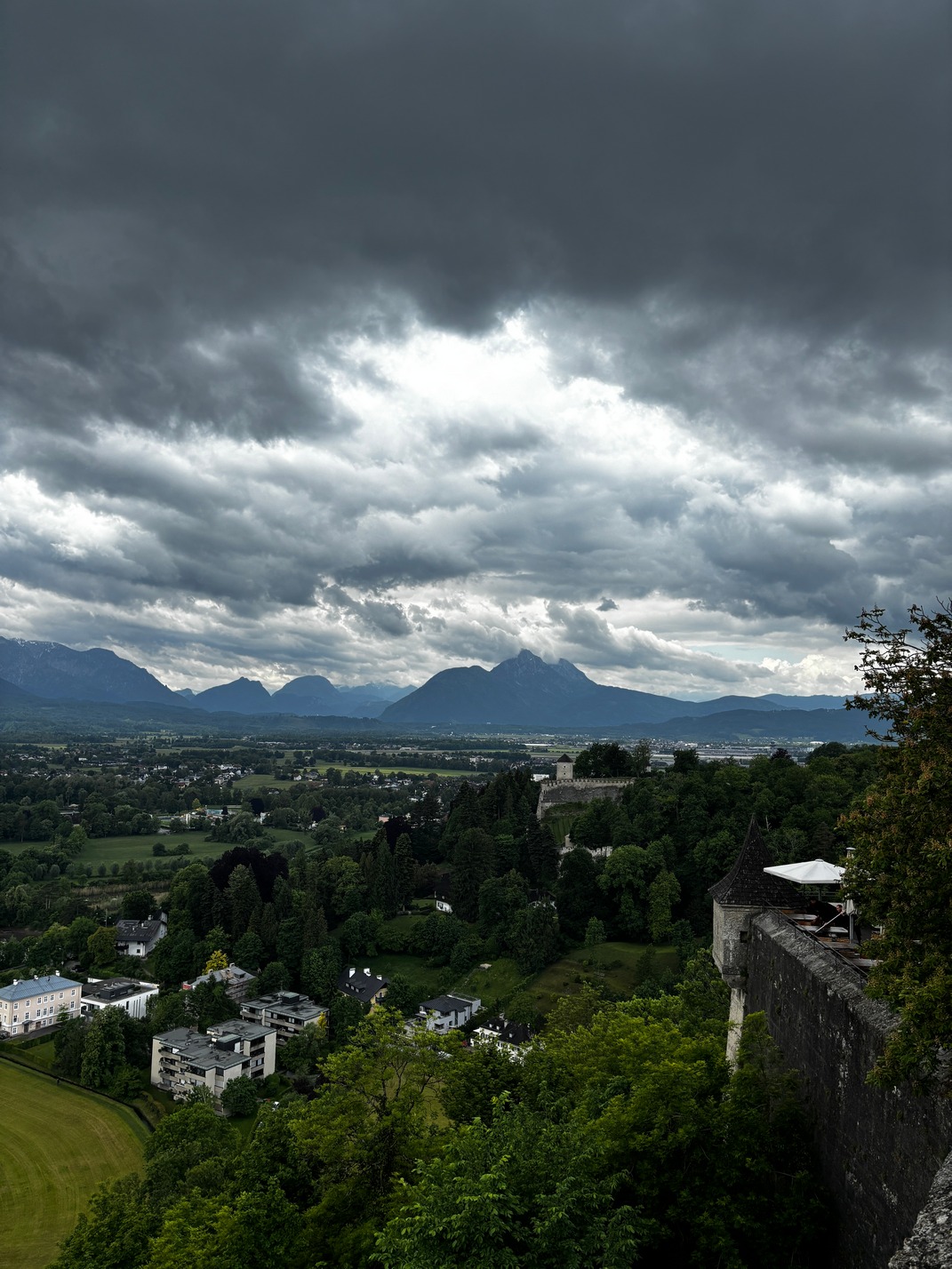
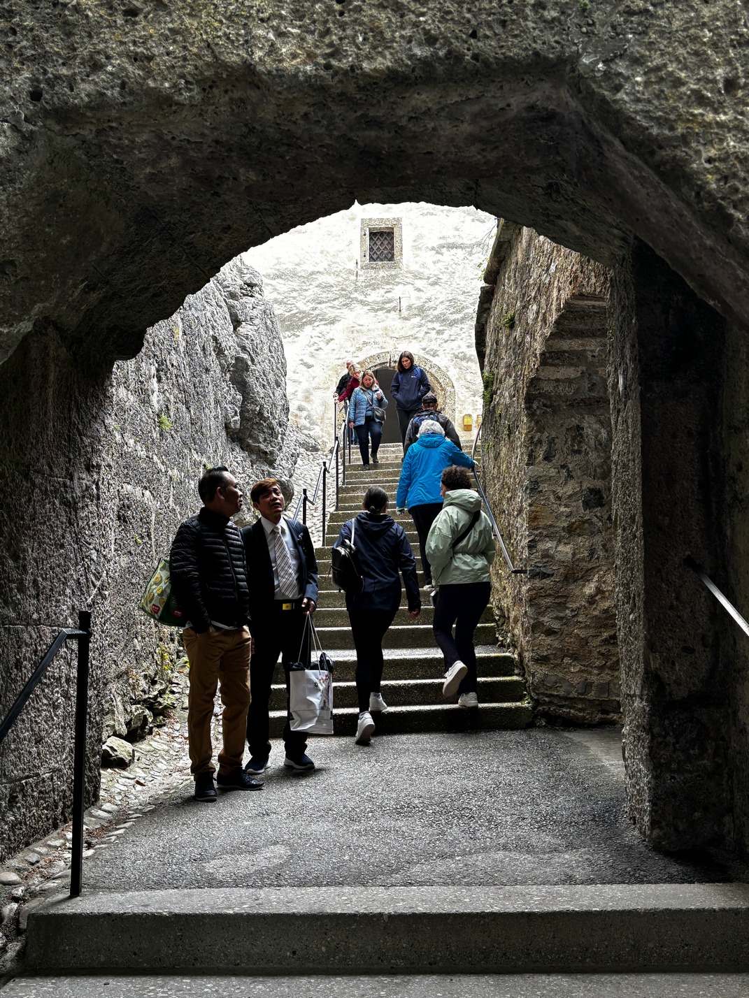
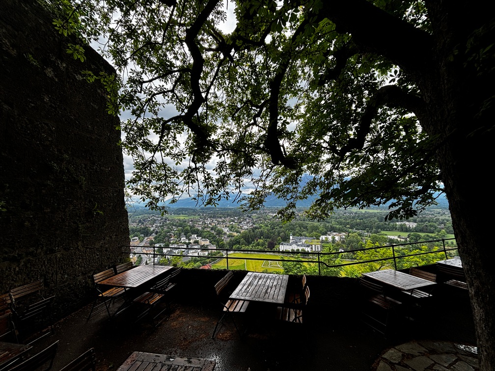
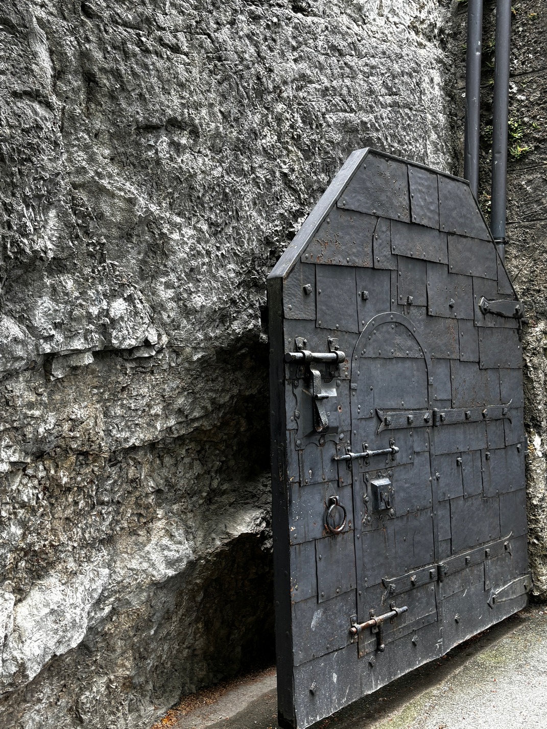
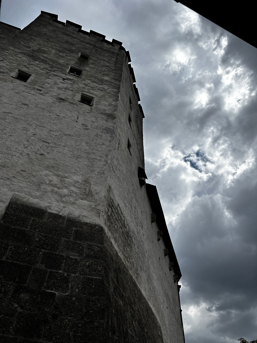
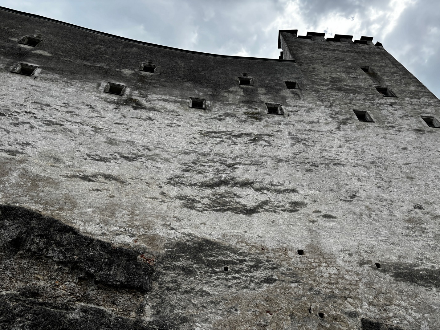
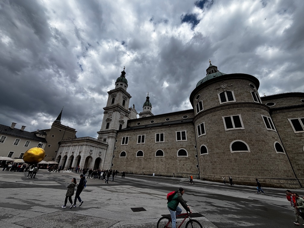
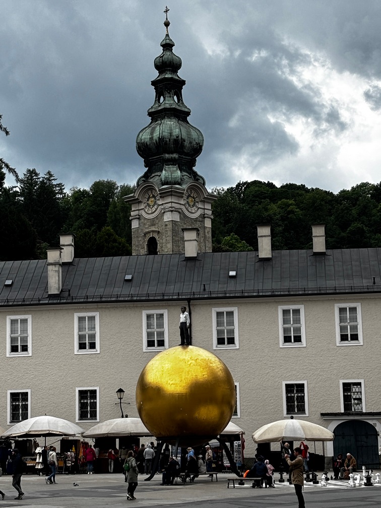
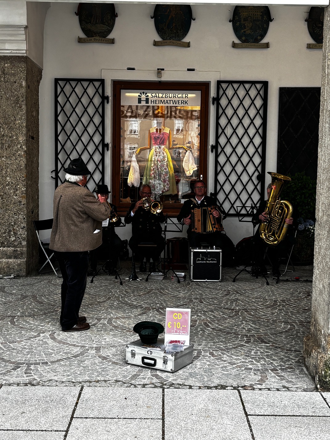
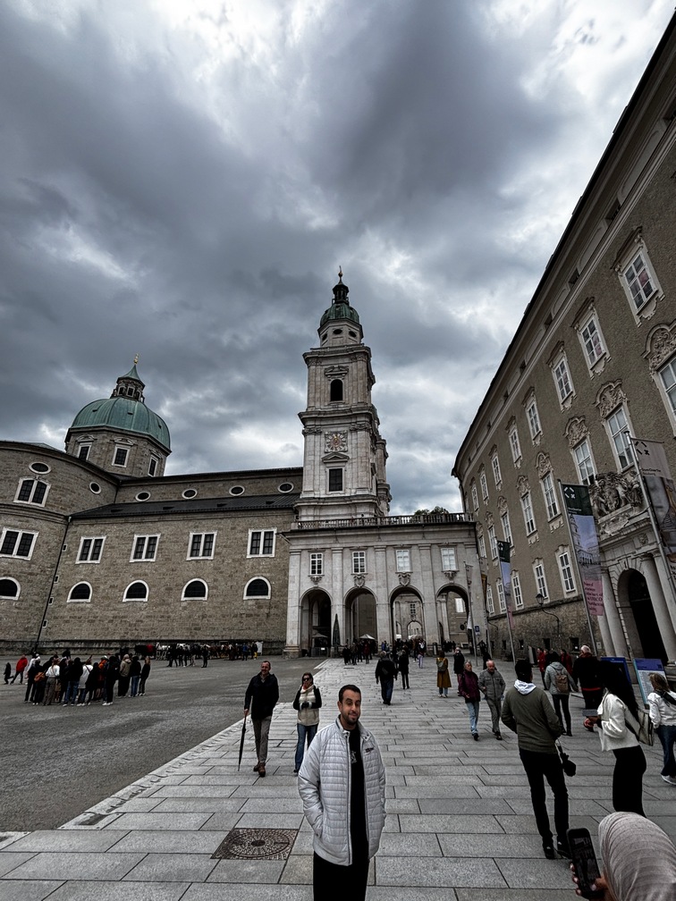
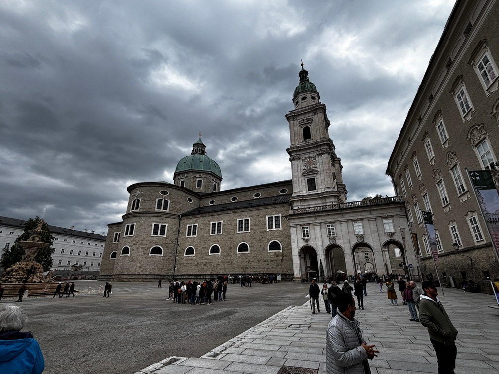
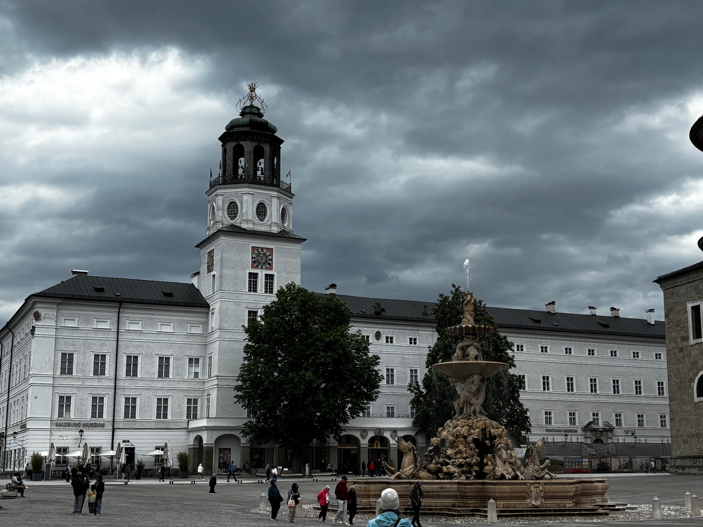
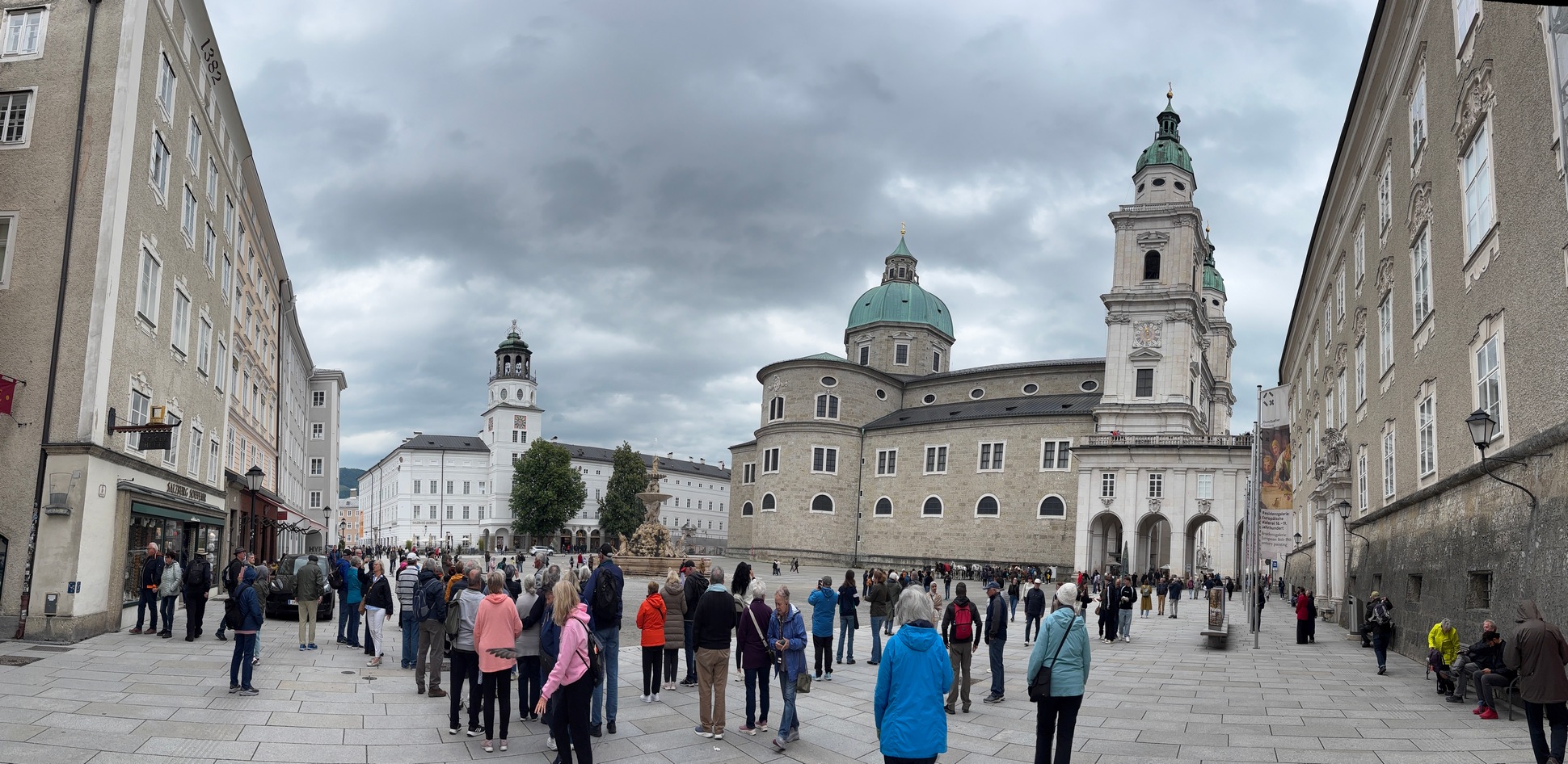
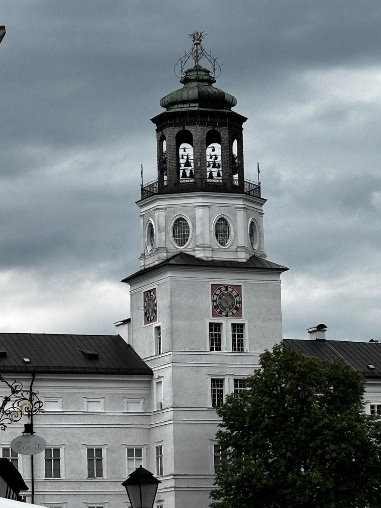
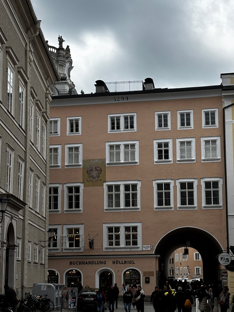
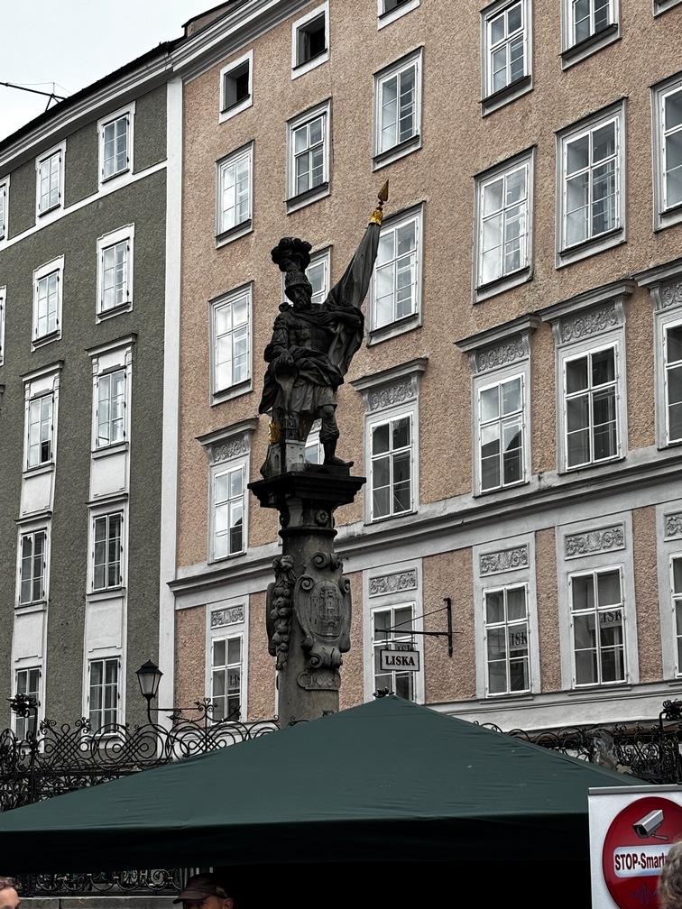
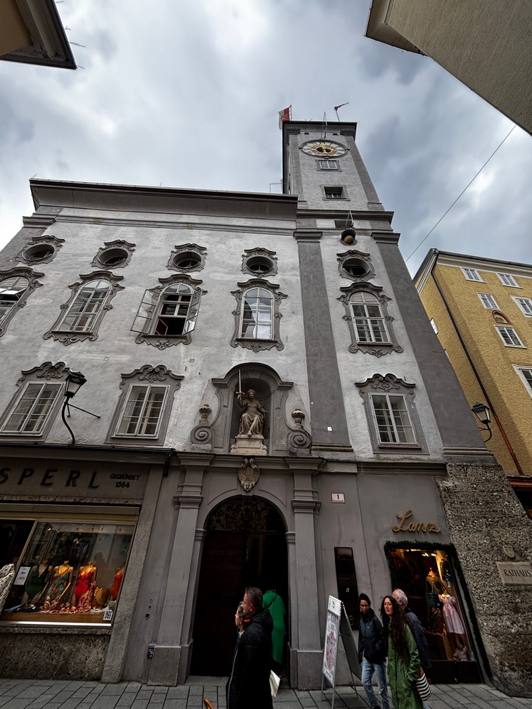
 We stumbled upon Mozart’s birth place, on our walk to the castle/fortress. It was mobbed so we go away from there a quick as we could. We found a huge square with lots of building surrounding it with a spectacular view of the fortress on the cliff. We headed over toward the Funicular to take us
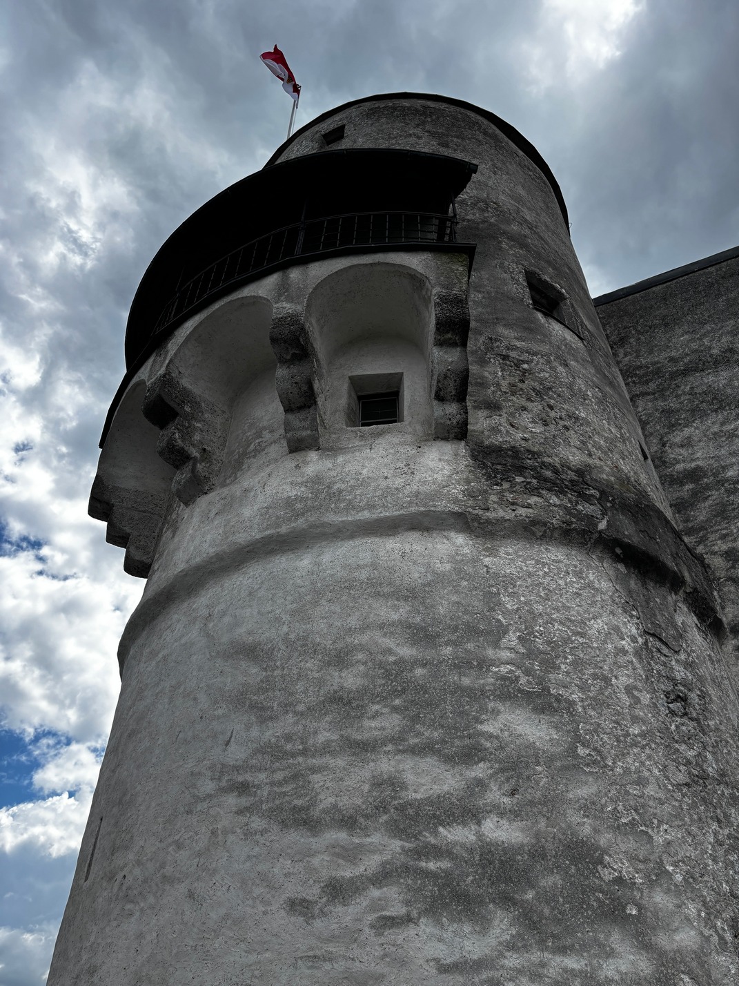
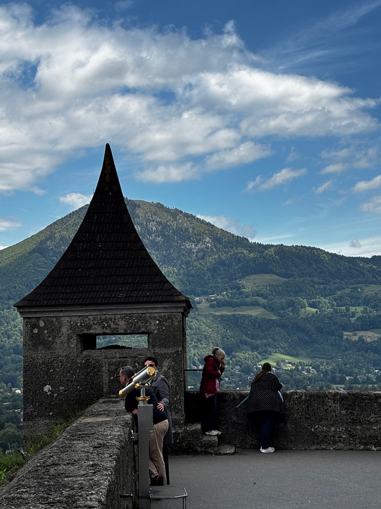
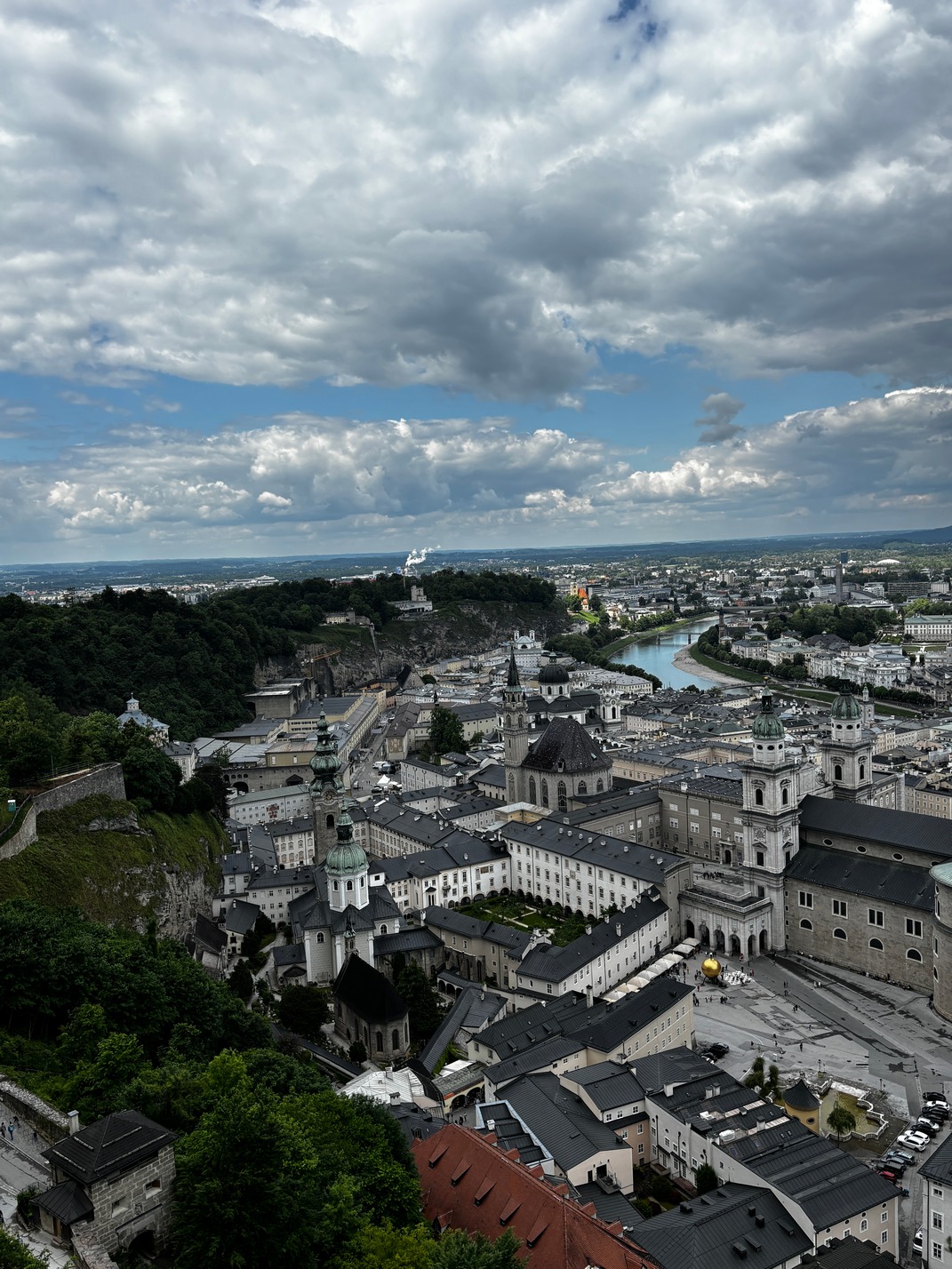
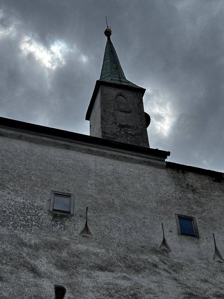
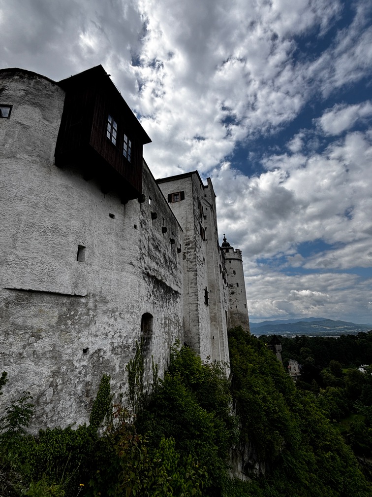
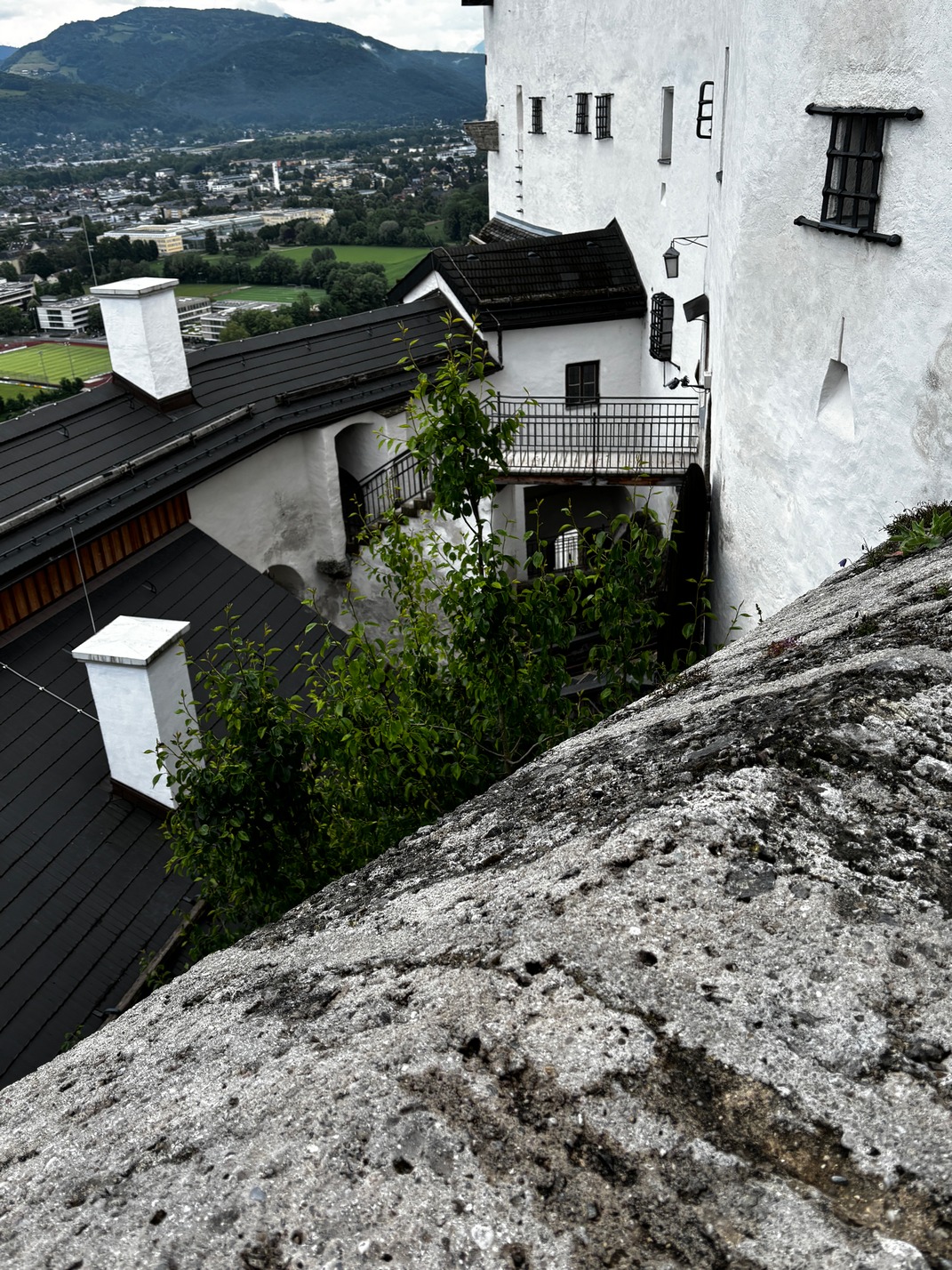
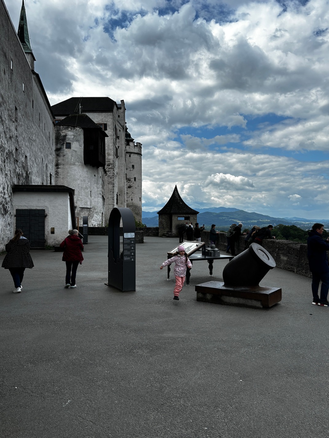
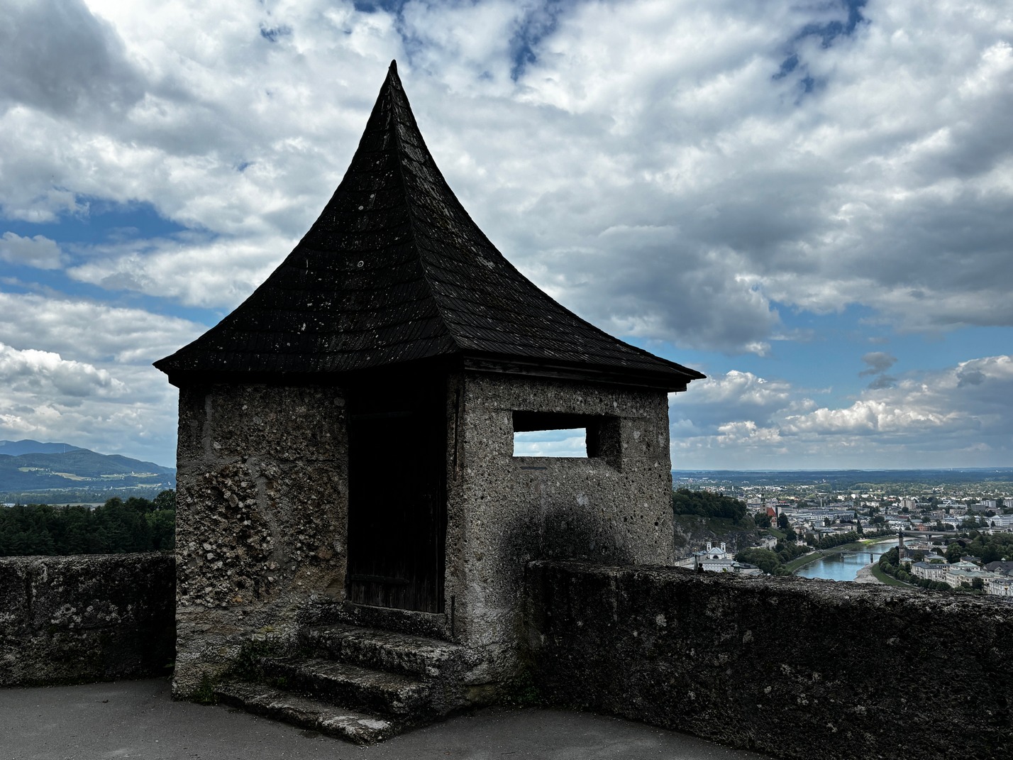
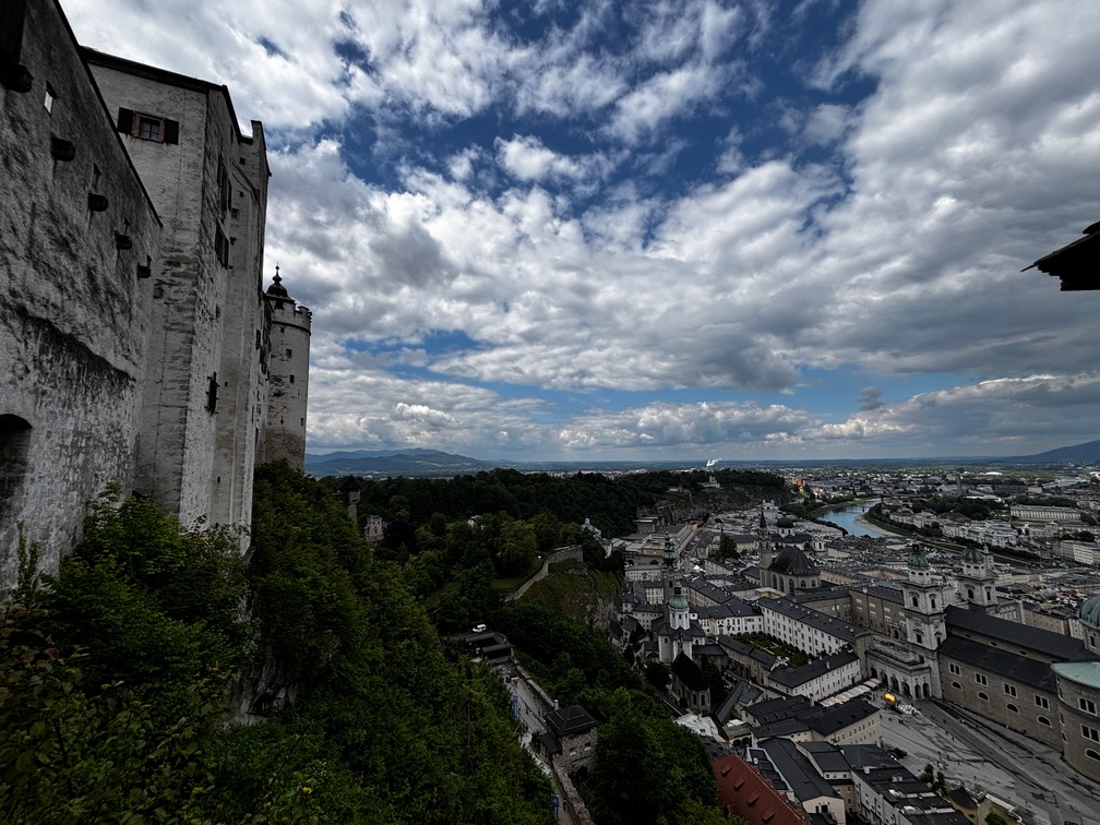
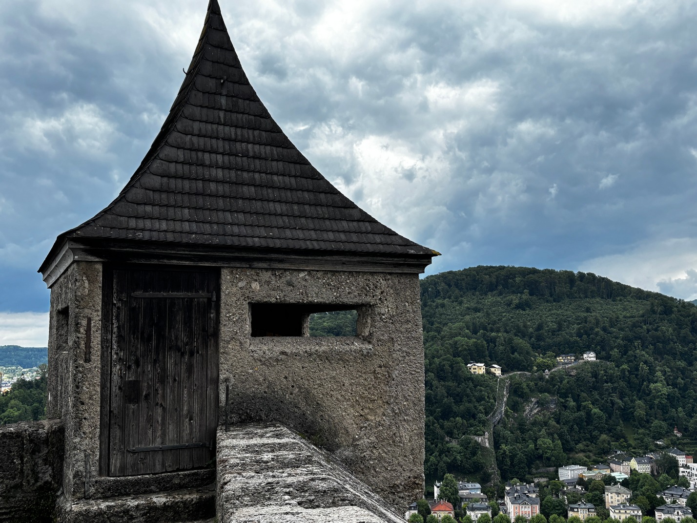
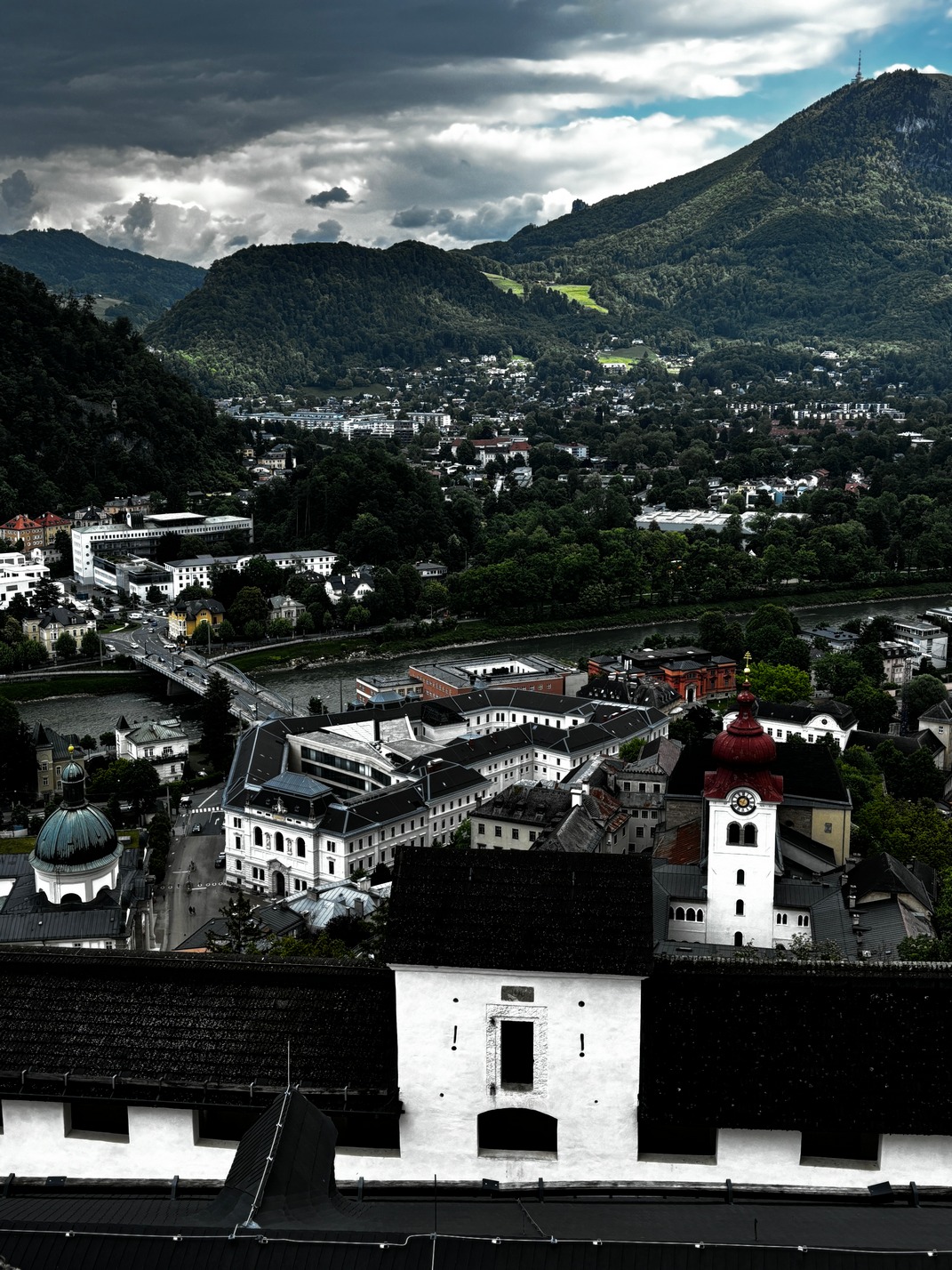
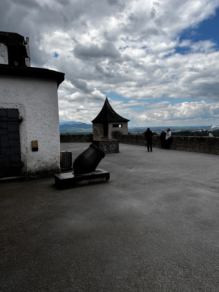
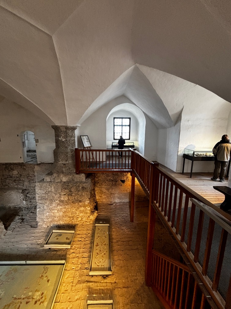
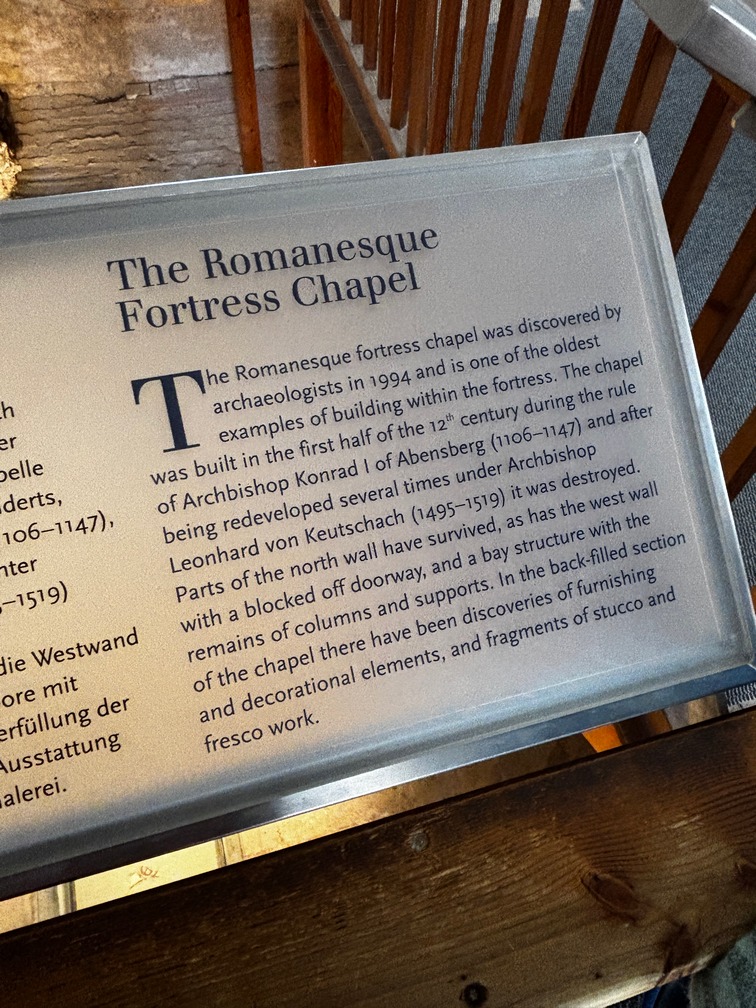
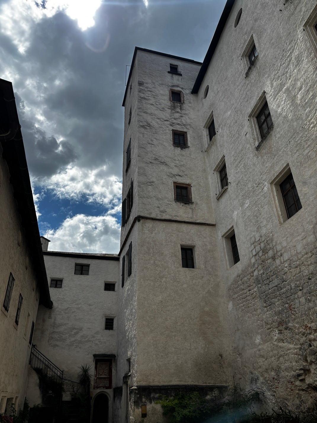
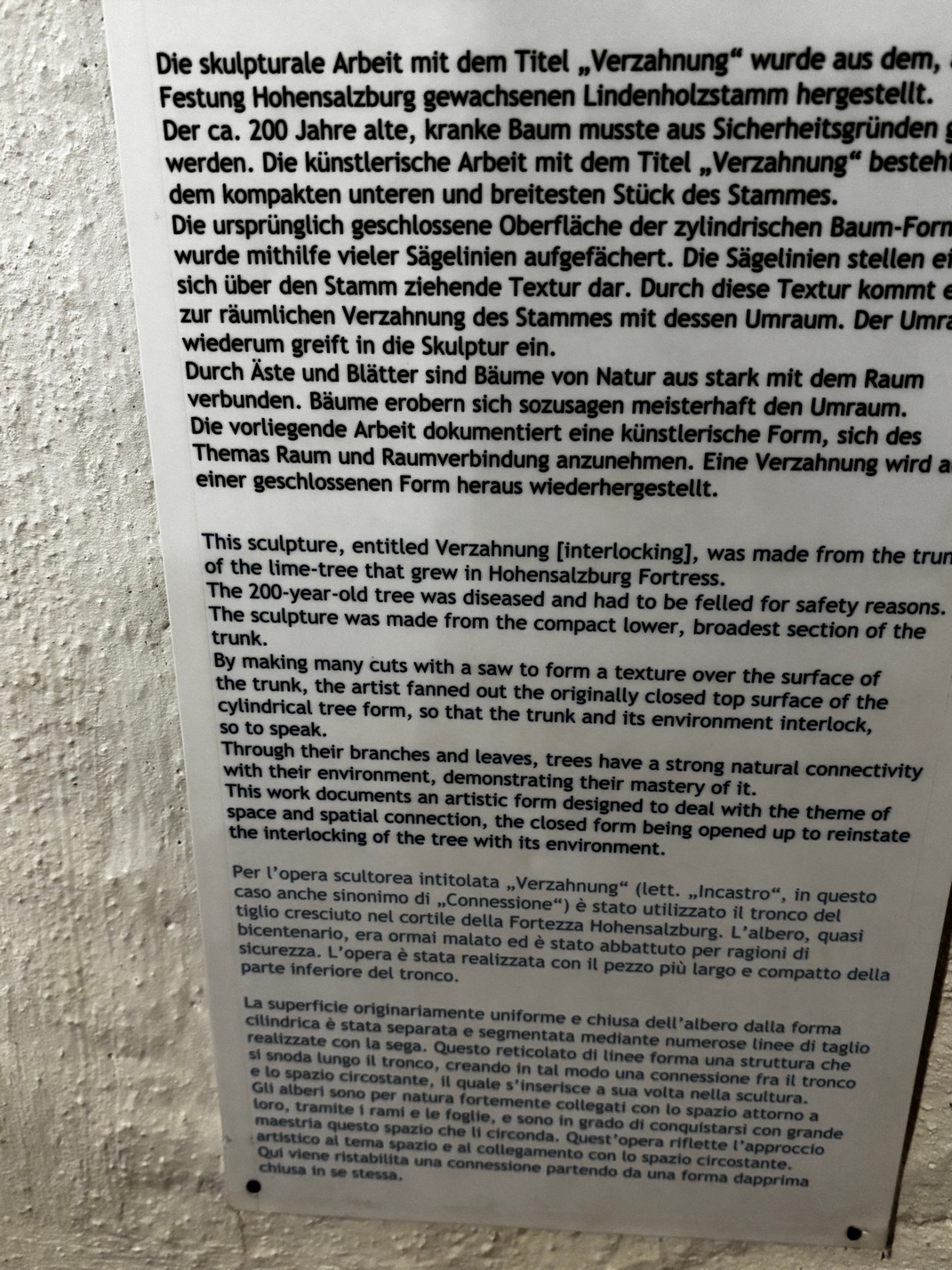
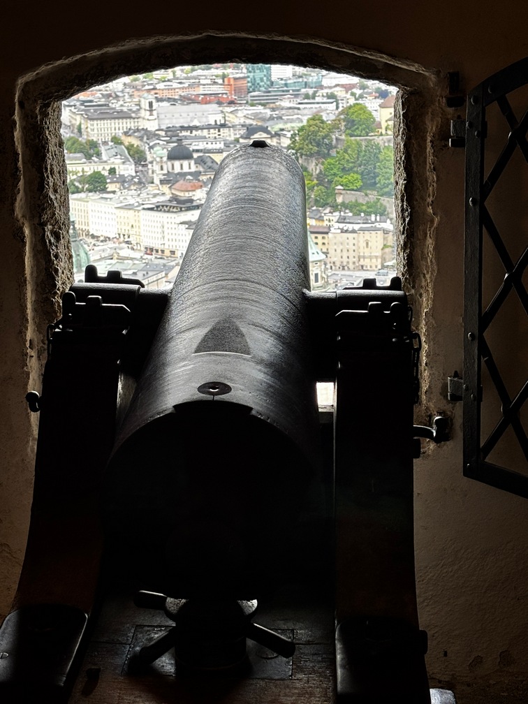
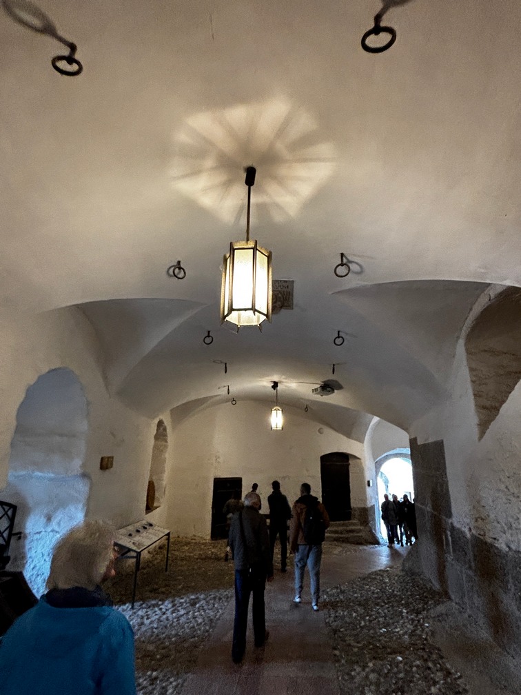
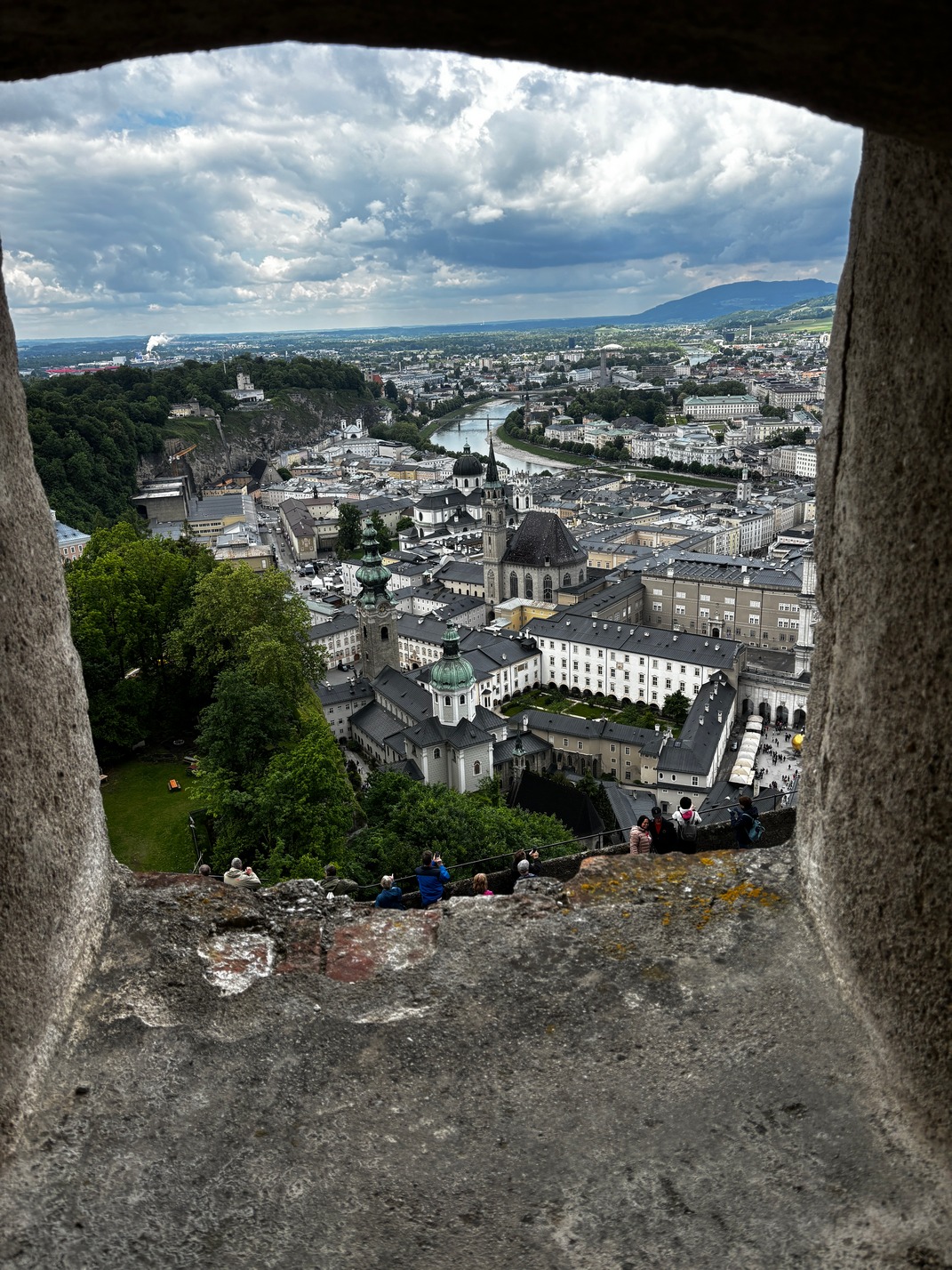
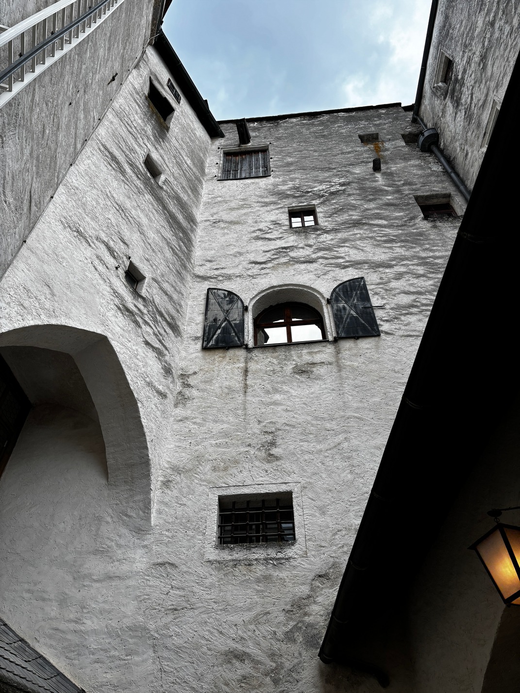
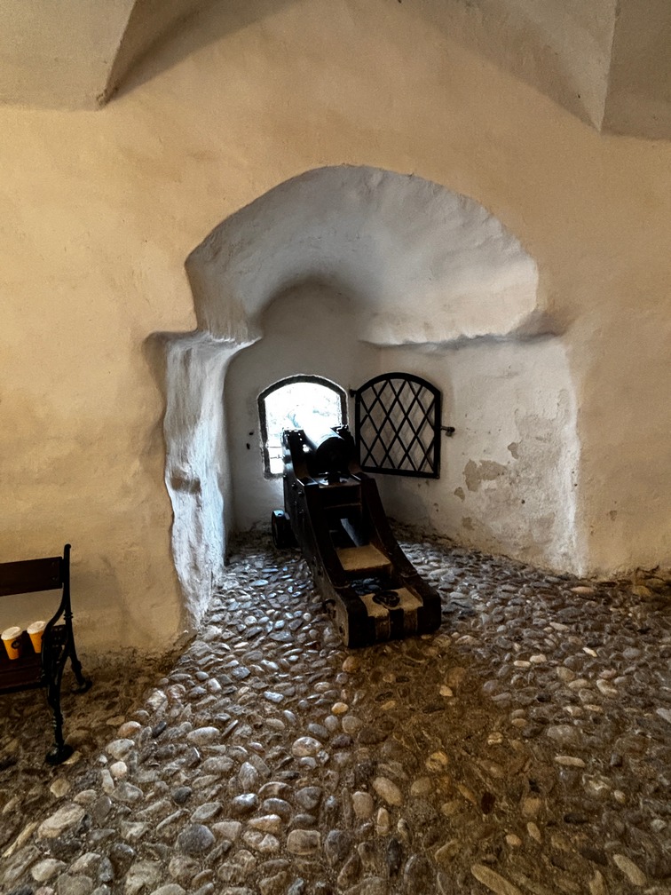
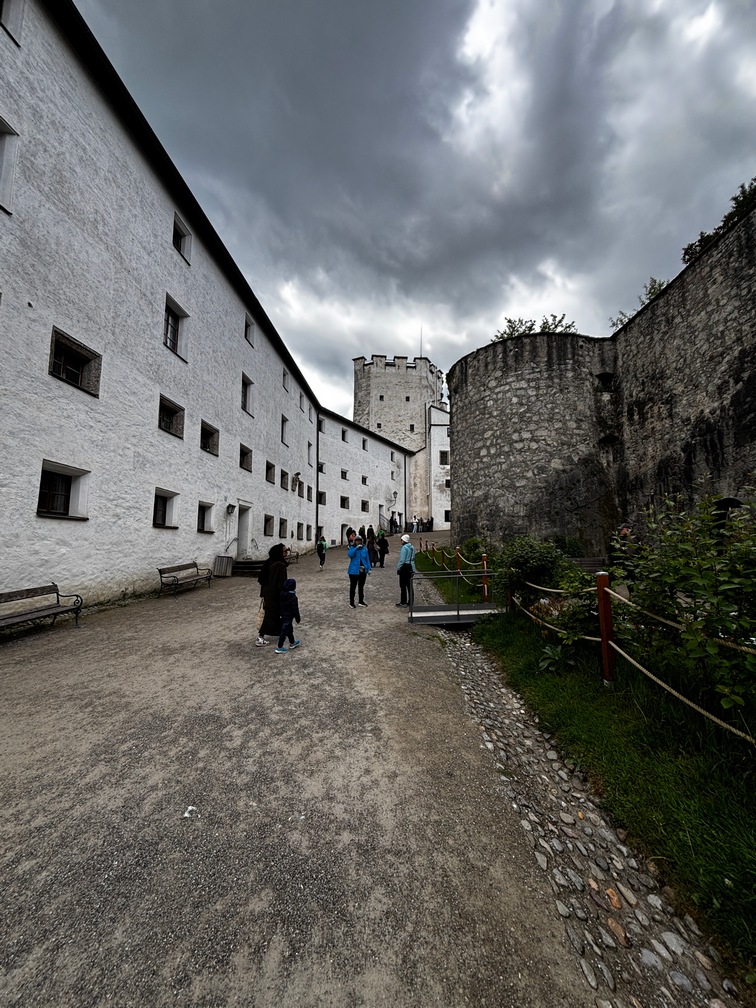
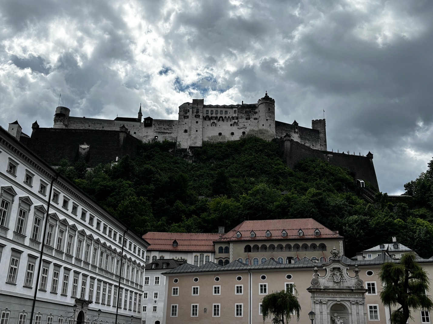
 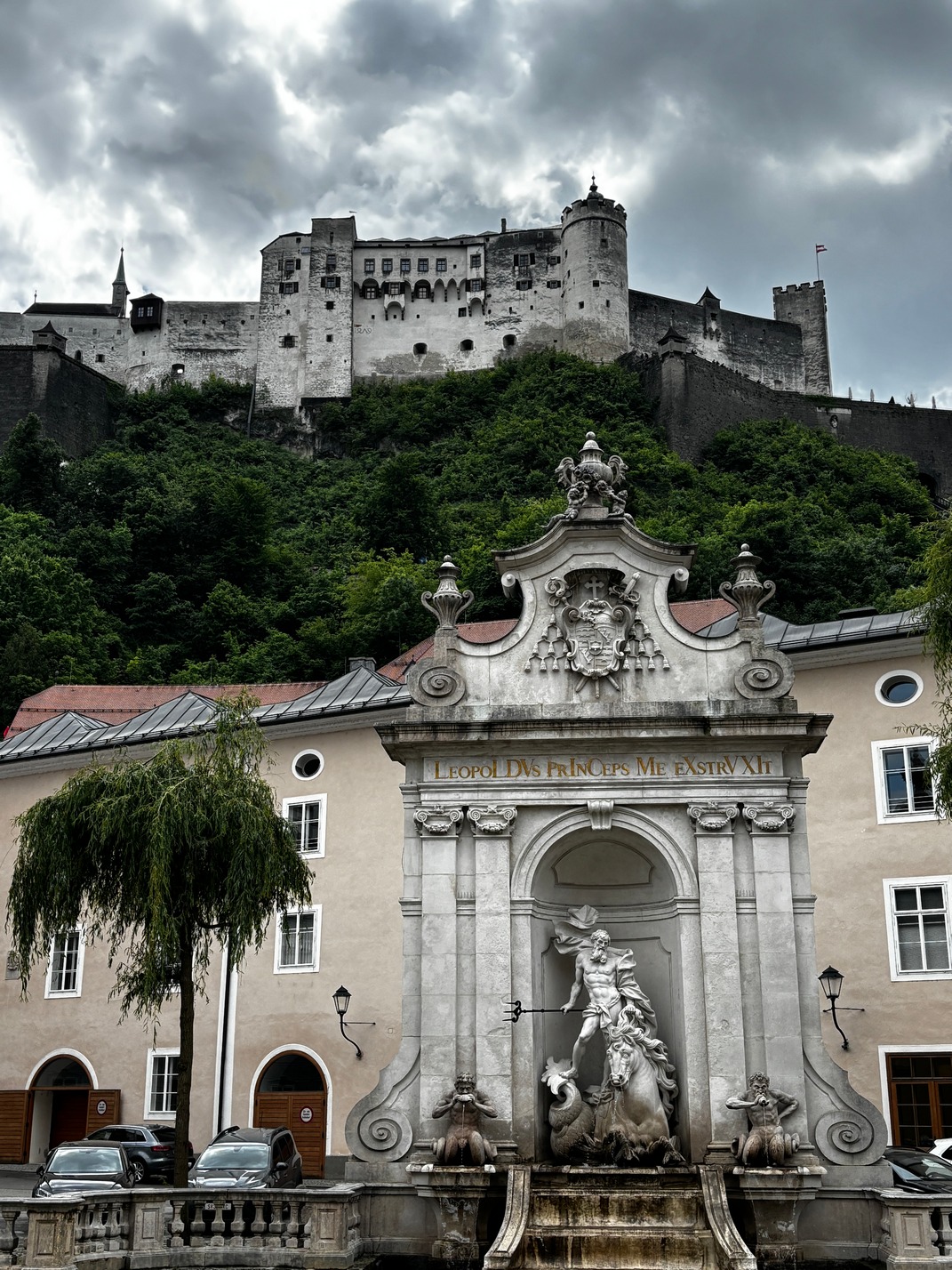 up to Fortress Hohensalzburg Amazing views from up there. It really had a commanding view of the whole valley from inside the fortress. It looked huge on top of that small mountain but
  when you walked around it, it wasn’t nearly as large as it looked from the bottom of the hill down by the river. We spent a couple hours wandering around up there. Great views in all directions.
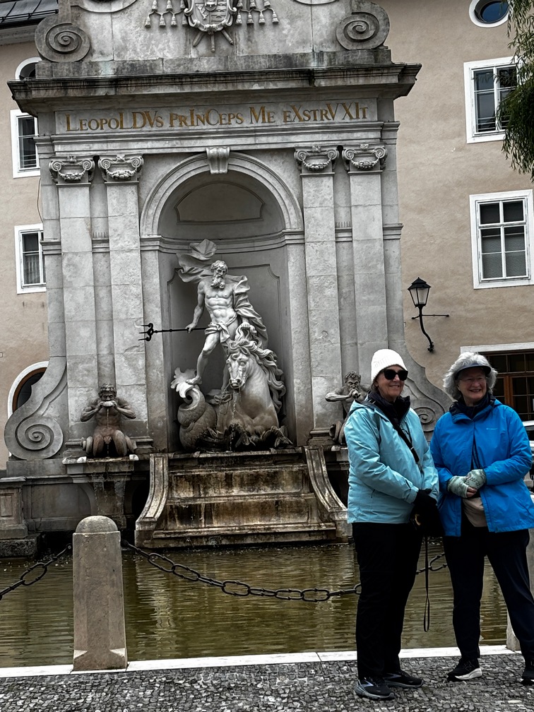
We then took the funicular down to find somewhere for lunch, preferably inside as it was lightly raining when we got out of that. I located 220Grad, it looked too newish but was pretty good. Although the place next door looked much nicer to me there was no availability for inside seating, only outside at that time. We found a chocolate shop on the way back toward the river and the gals bought some and shared with us. I was really good.
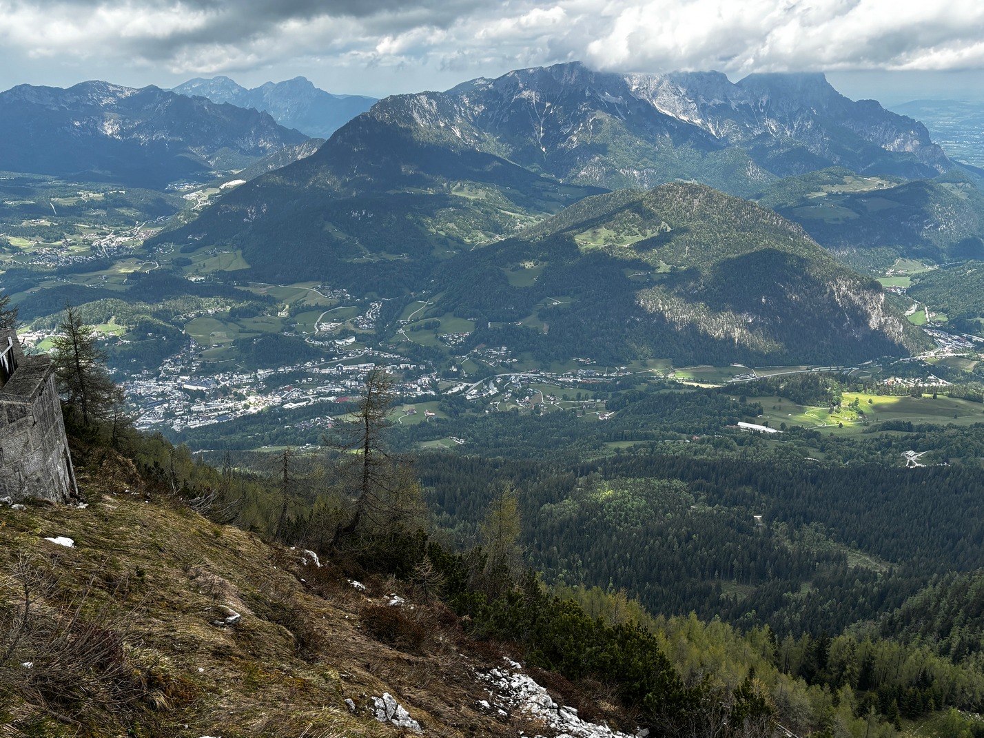
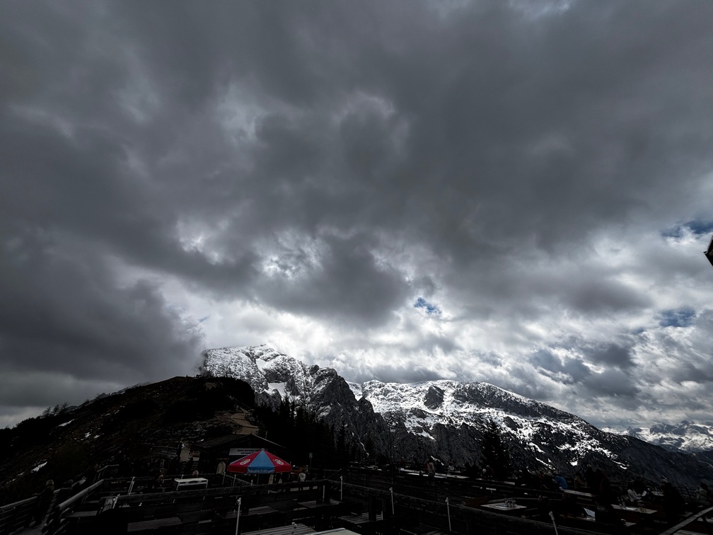
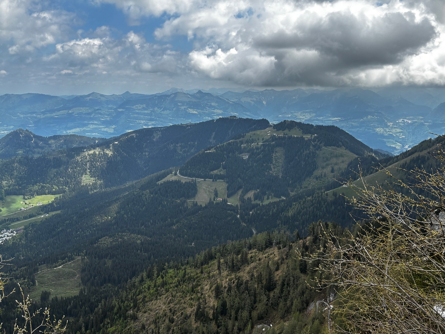
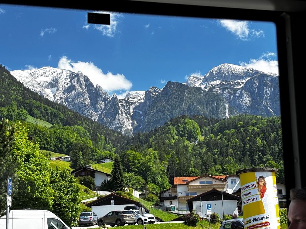
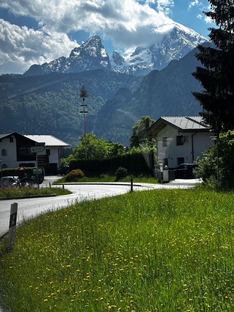
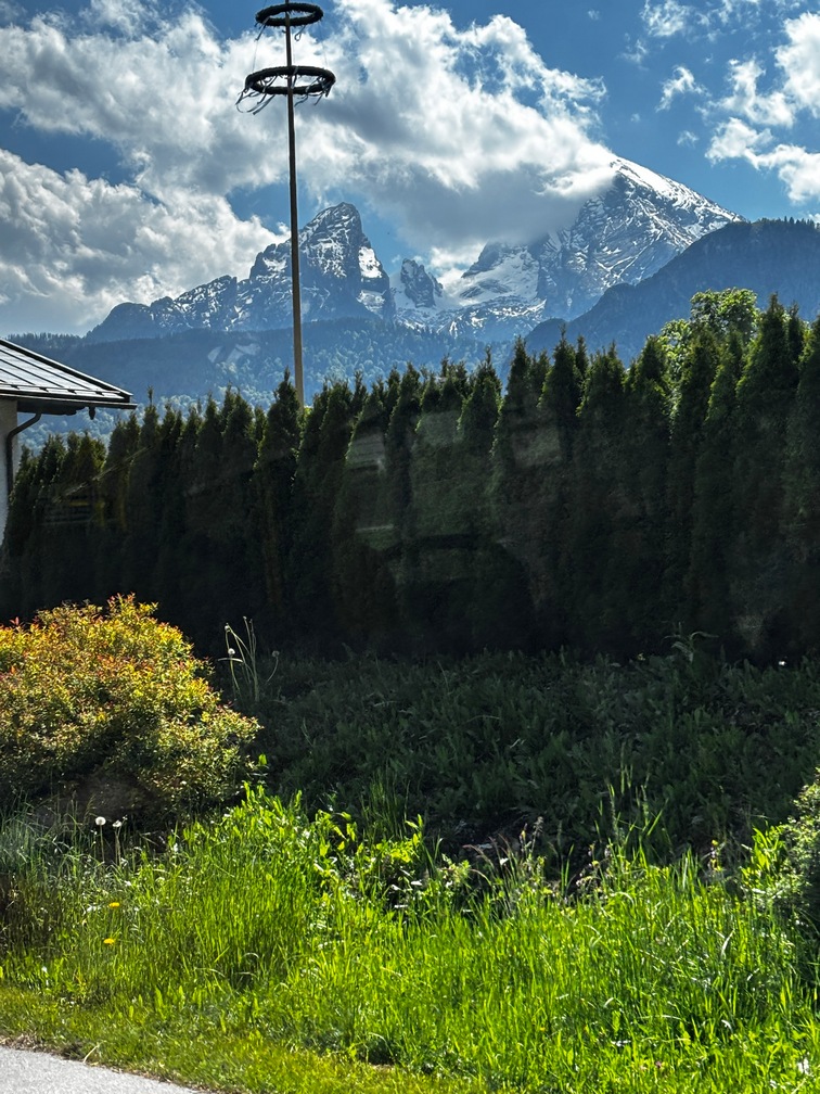
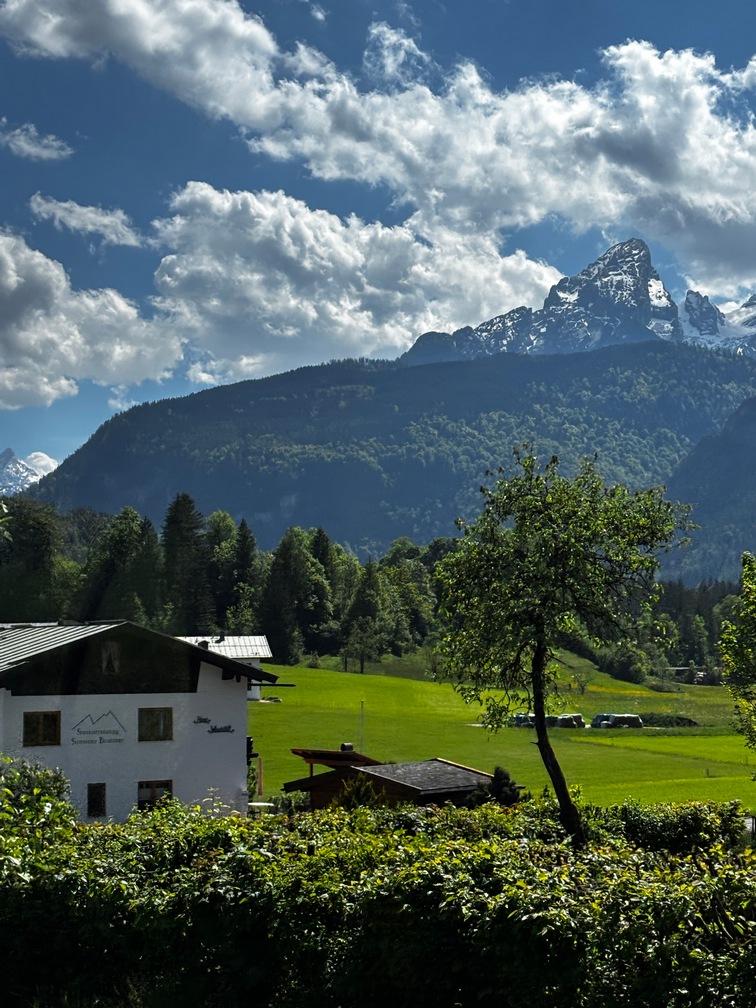
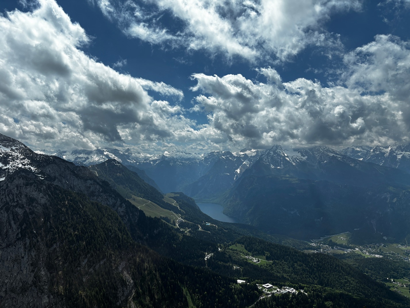
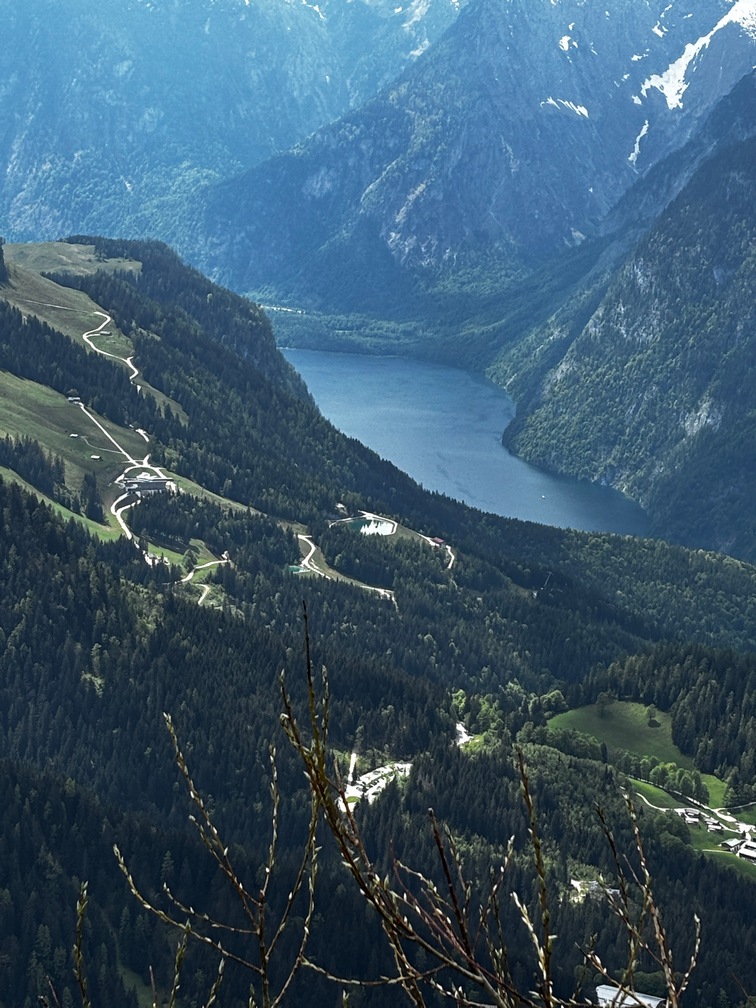
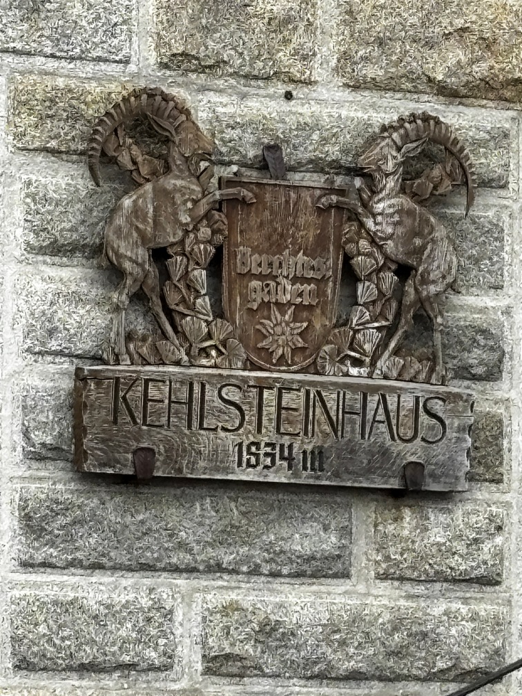
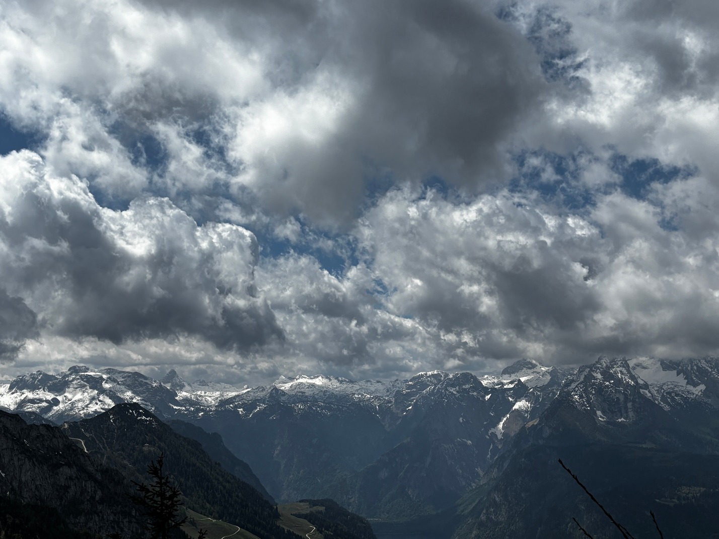
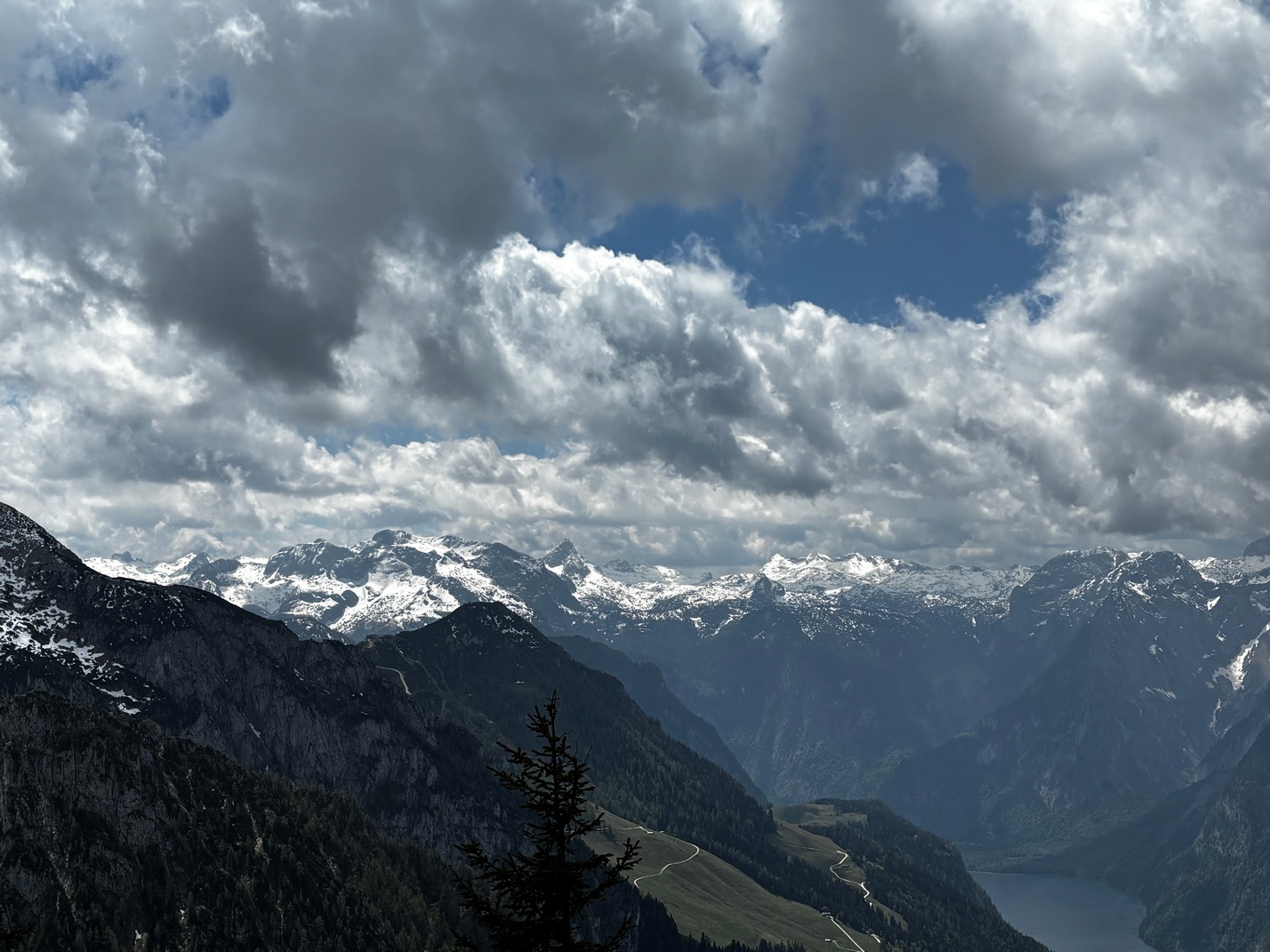
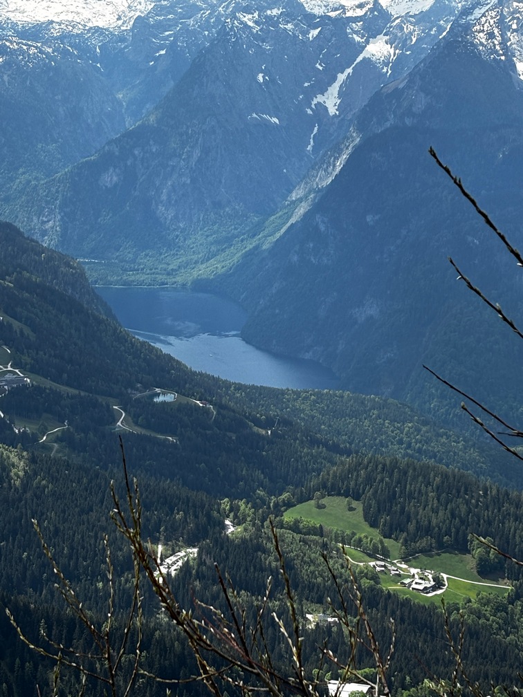
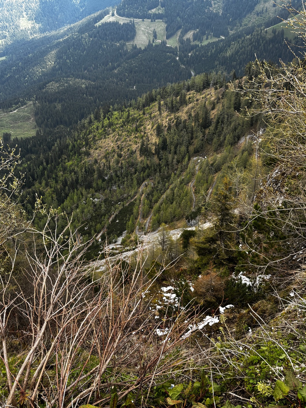
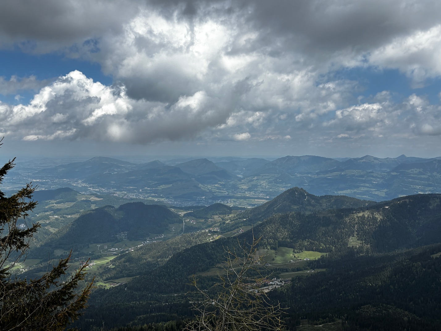
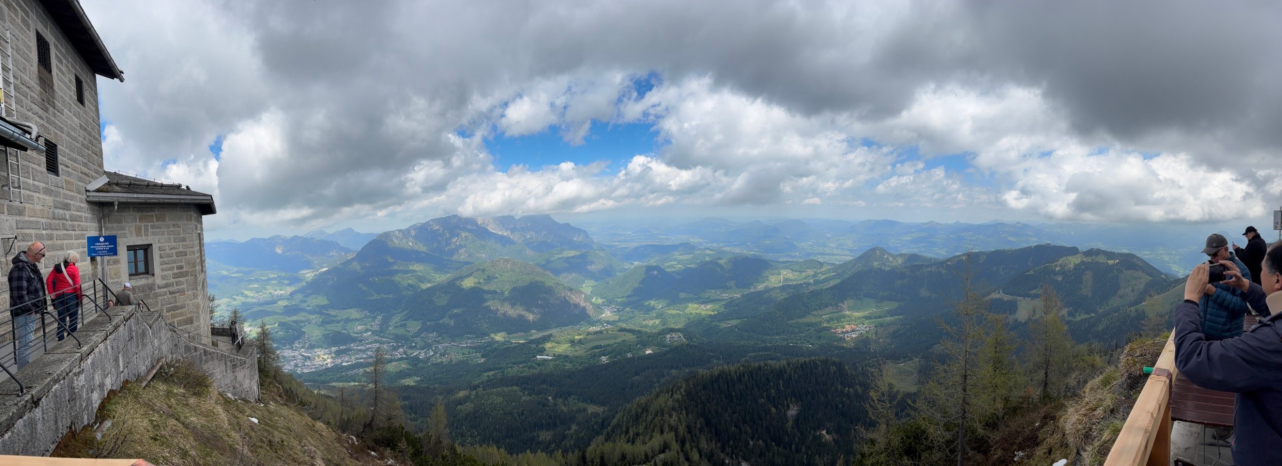
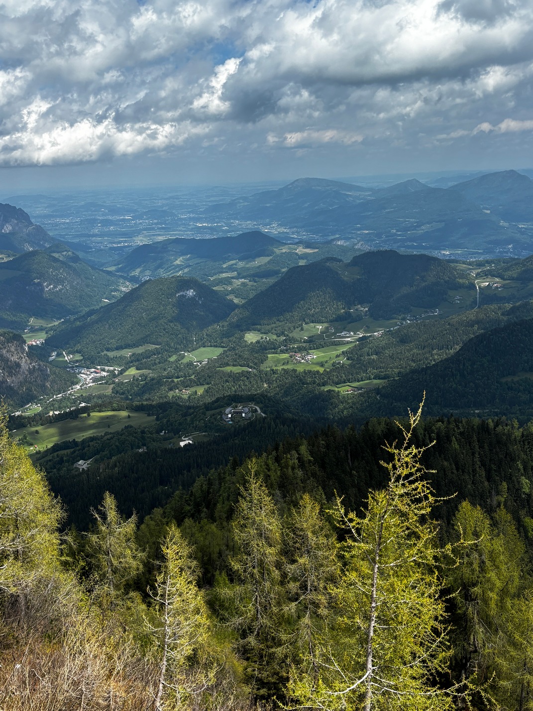
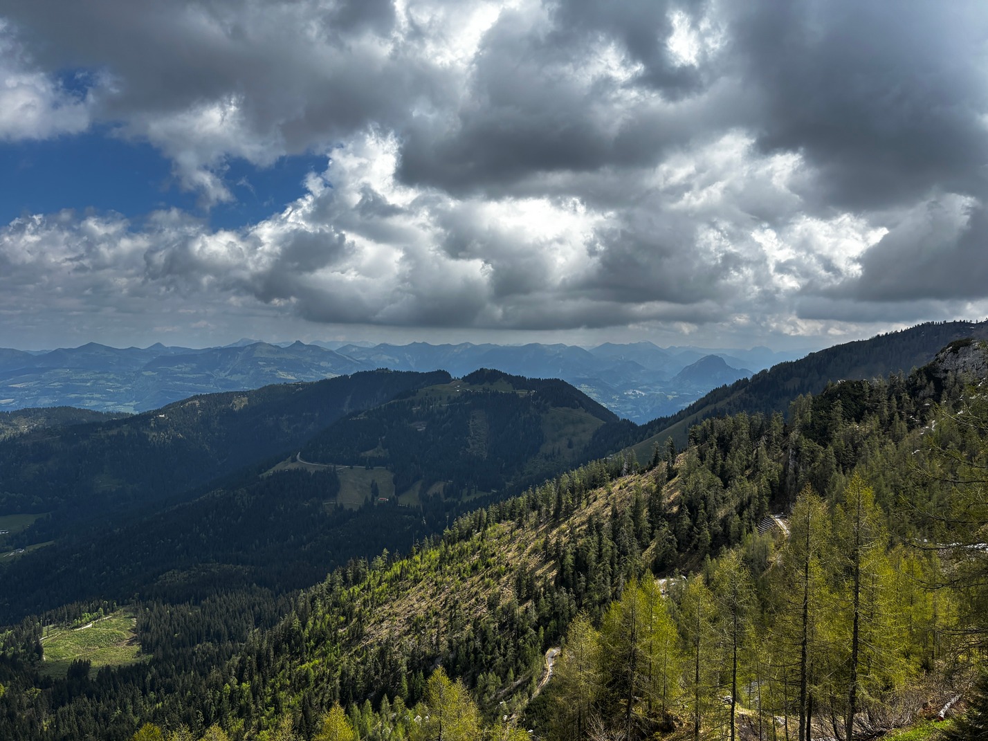
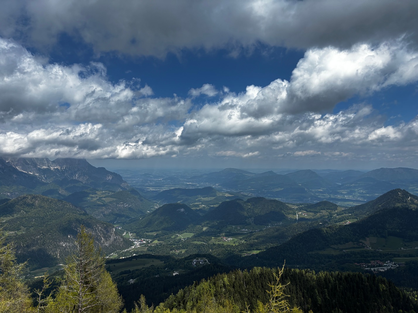
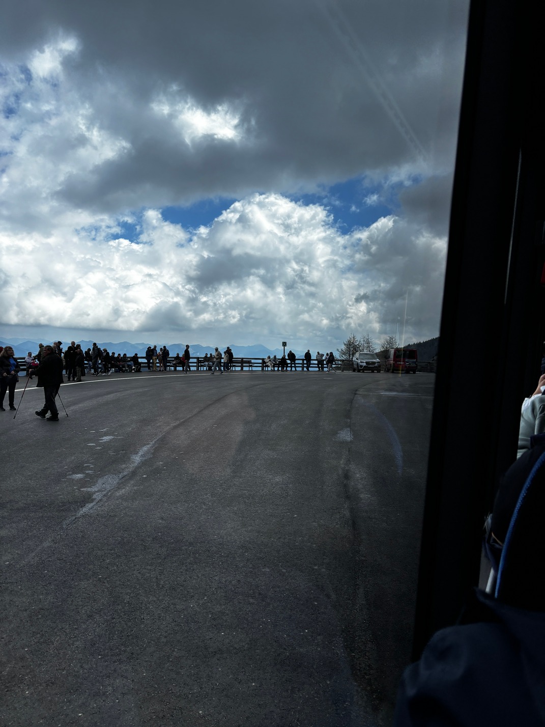
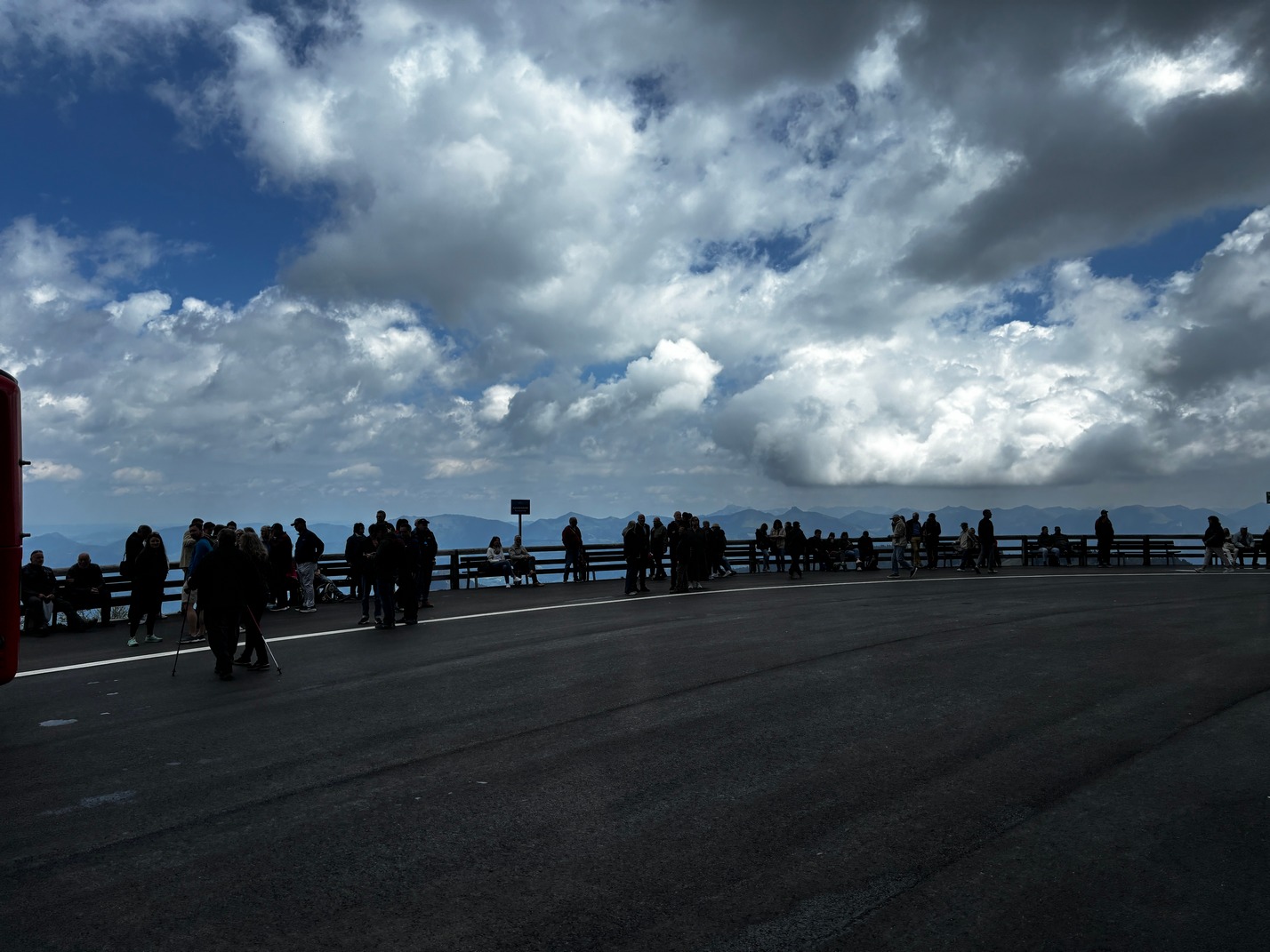
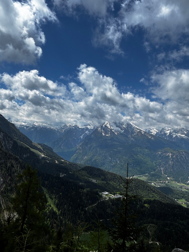
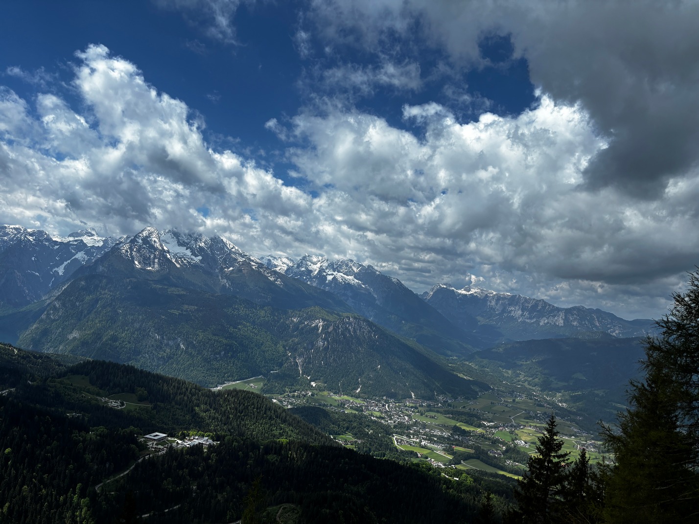
 Early the next morning Scott and I took a trip to see the Eagles Nest, a few buses to get there, which was
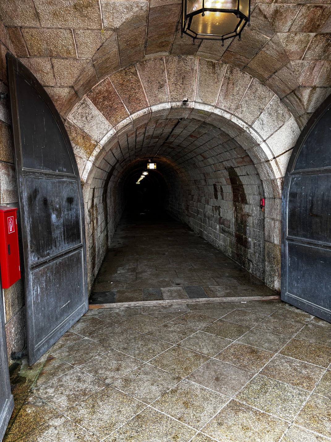
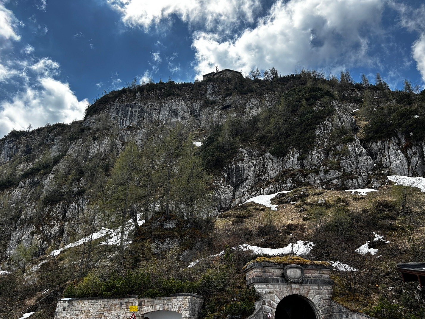
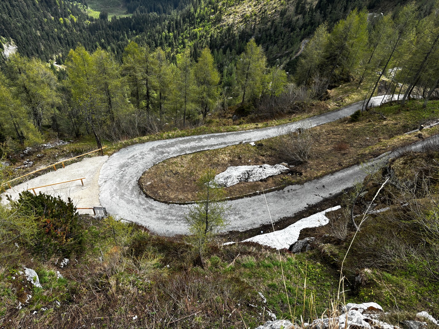
  supposedly only 30 clicks away. It seemed a lot further when we finally got there a couple of hours later. Bus from hotel to train station, then find Bus 840 to Berchtesgaden, then find bus 838 to Obersalzburg, then wonder over to another station to buy tickets and then onto an Electric bus that took us up the mountain to a parking lot in front of a long walking tunnel thorough the mountains core that lead to an Elevator that took us up to the Eagles Nest perched on top of the mountain.
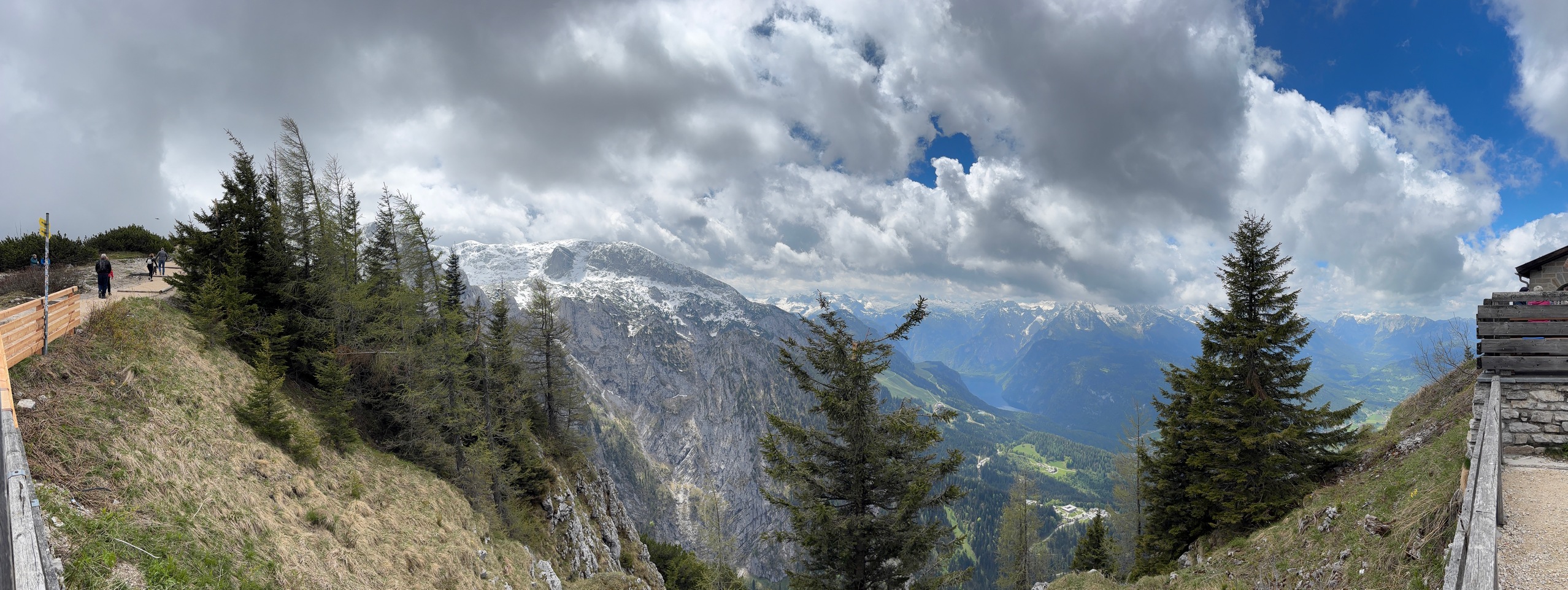
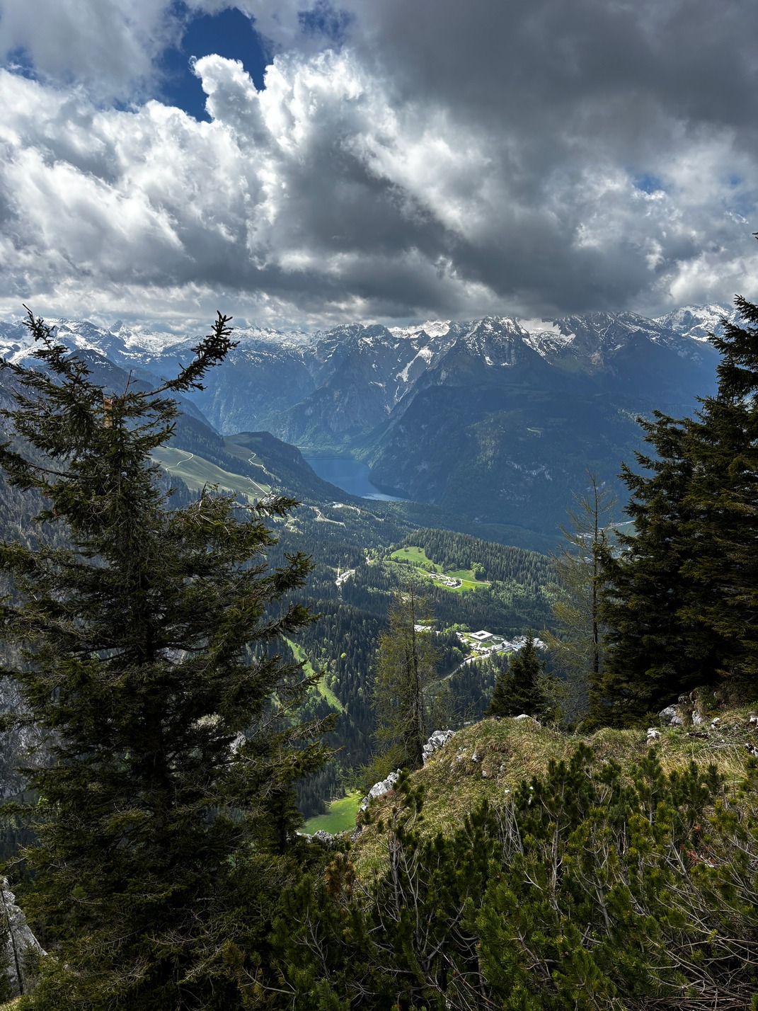
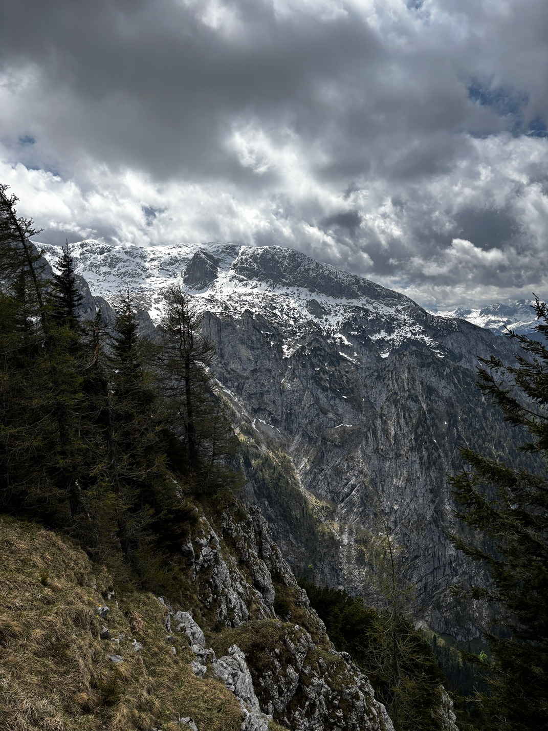
 What a place on top of that mountain. Scott had us toast Easy Company from the 101st airborne division for liberating it. (He never watched Band of Brothers!) We spent a good couple of hours up there drinking beer and taking pictures. We had to reverse the process to get back down. And when finally back in Bertchesgarten we got on bus 840, but going south instead of north. oops, took an extra 45 minutes to get back to Salzburg.
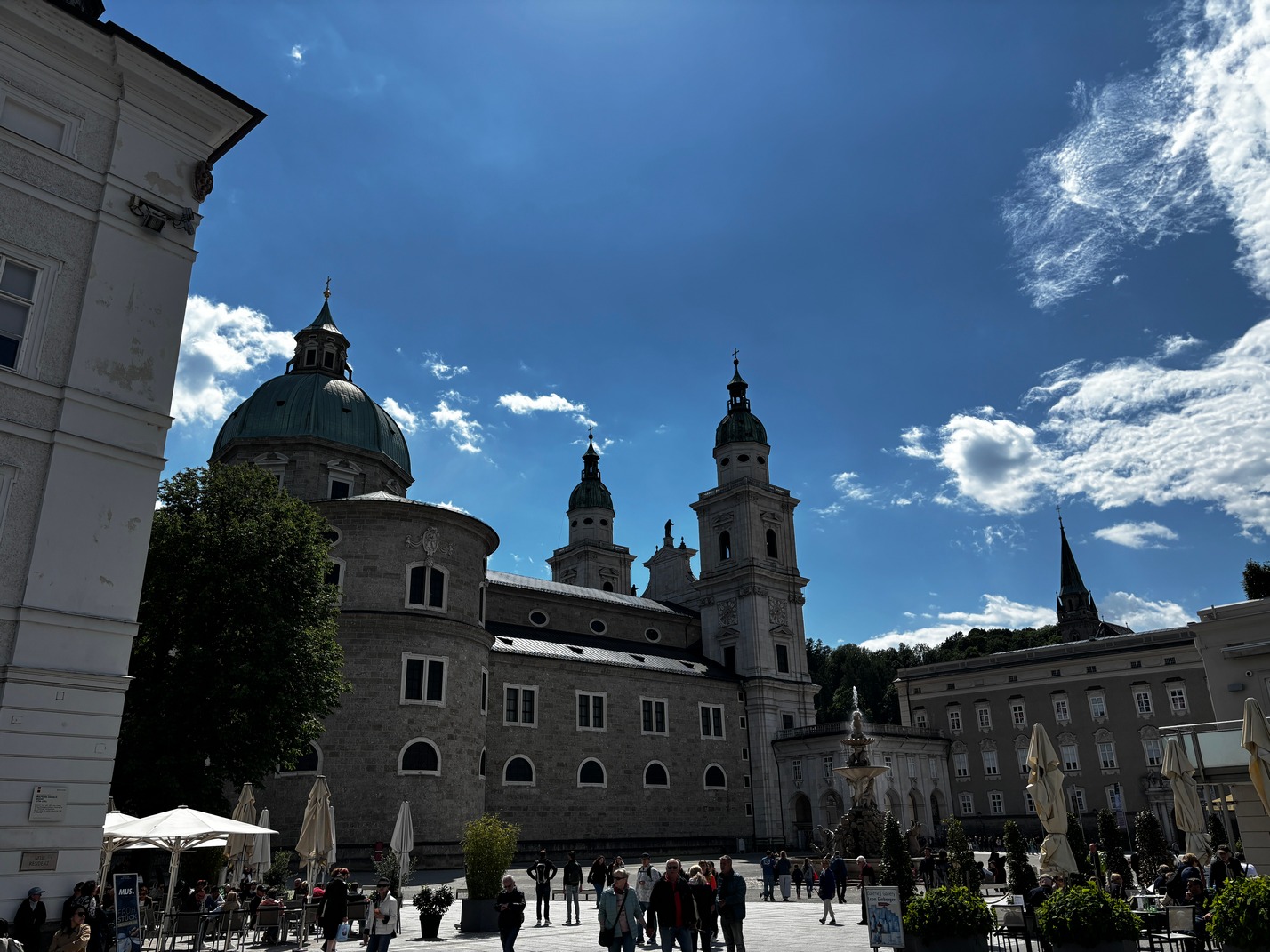
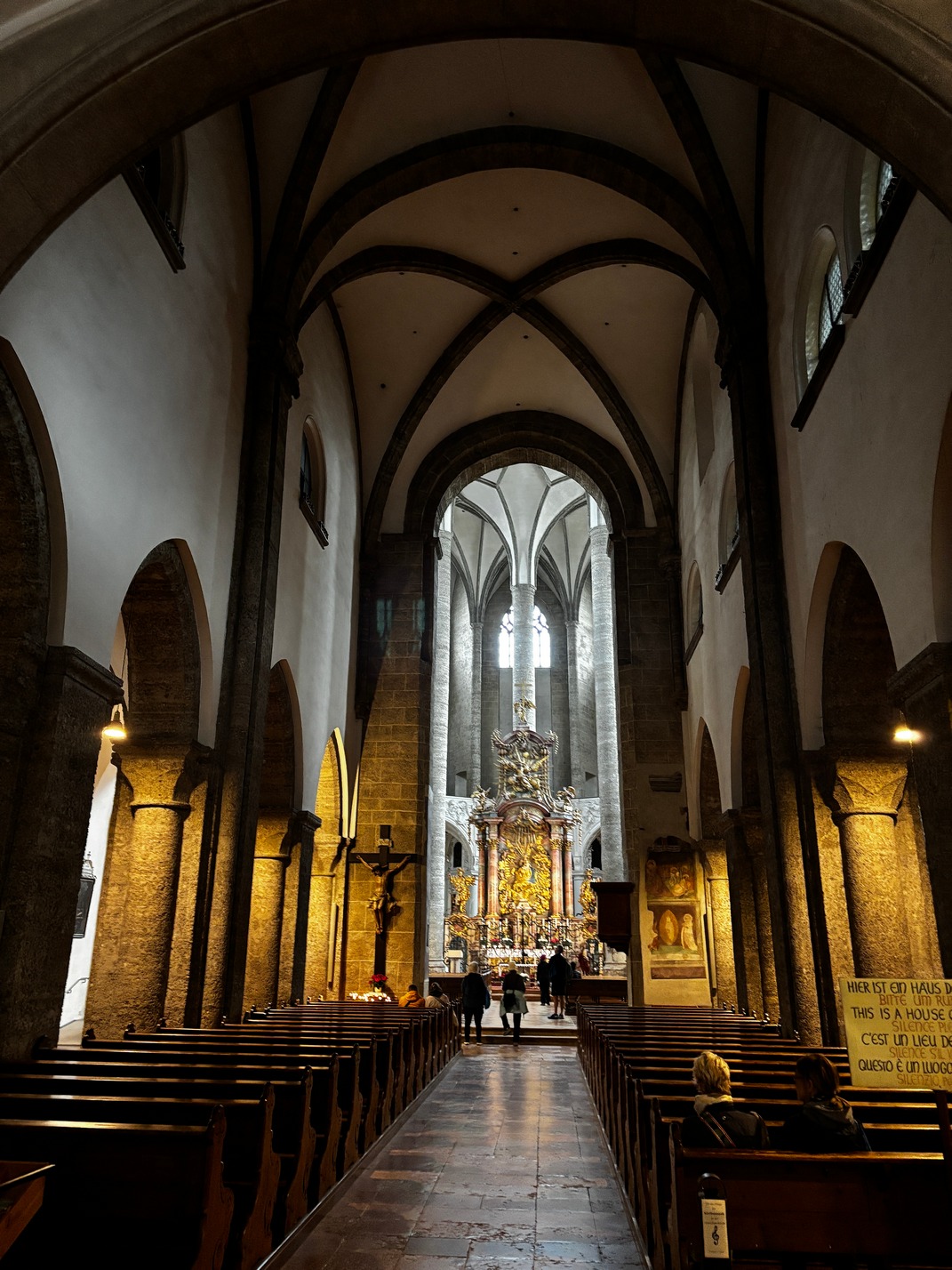
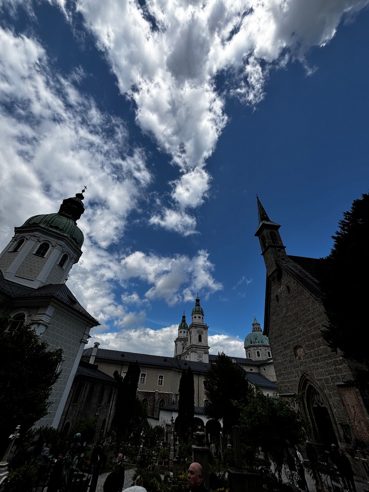
 The next morning a Marathon messed up traffic getting to town and it (the bus) left us off far from the stop it should have. A lot of the roads were closed for a marathon that morning. We got off and I had to figure out how to get from there to the river via google maps. As we walked up this narrow lane we stumbled upon Tami &Scott coming out of church right in front of us as we walked toward the river. They had left an hour or two earlier and I thought they were on the other side of that river after getting a text from them a few minutes prior. We had been planning on going to an Outdoor Concert, but it was canceled due to rain. We walked over the the Big Cathedral and they all went into it to take a few pics. By this time I was church-ed out..
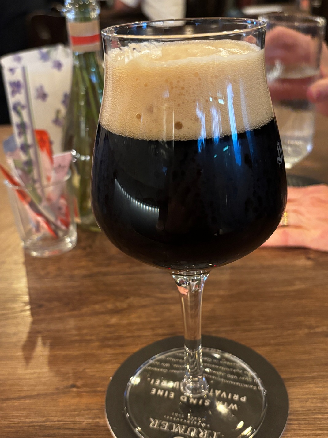
 Dinner at Schlemmerkuchl just a short walk from the hotel
 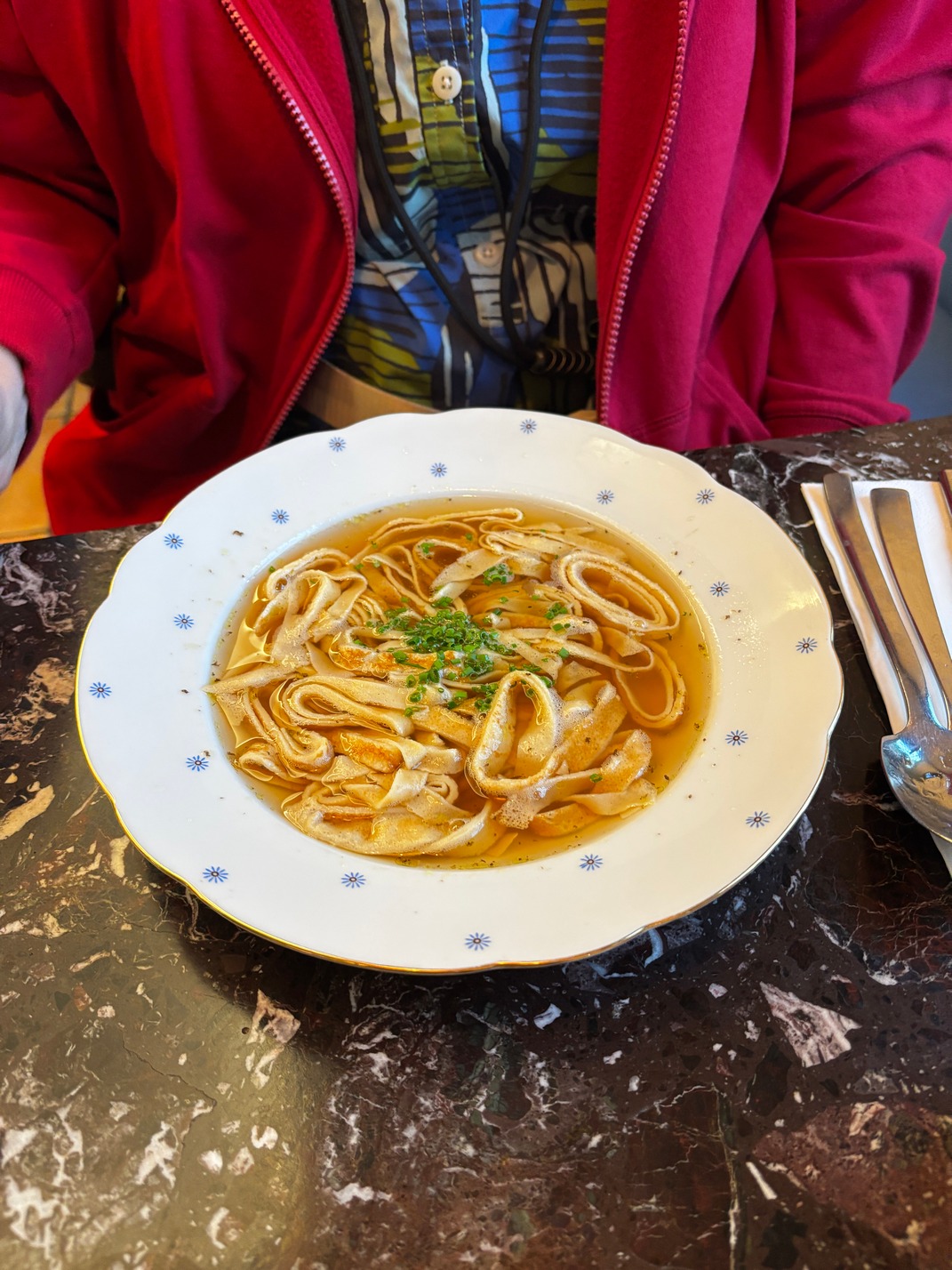 down a small residential street for last night in Salzburg, it was amazing!


![]()

![]()

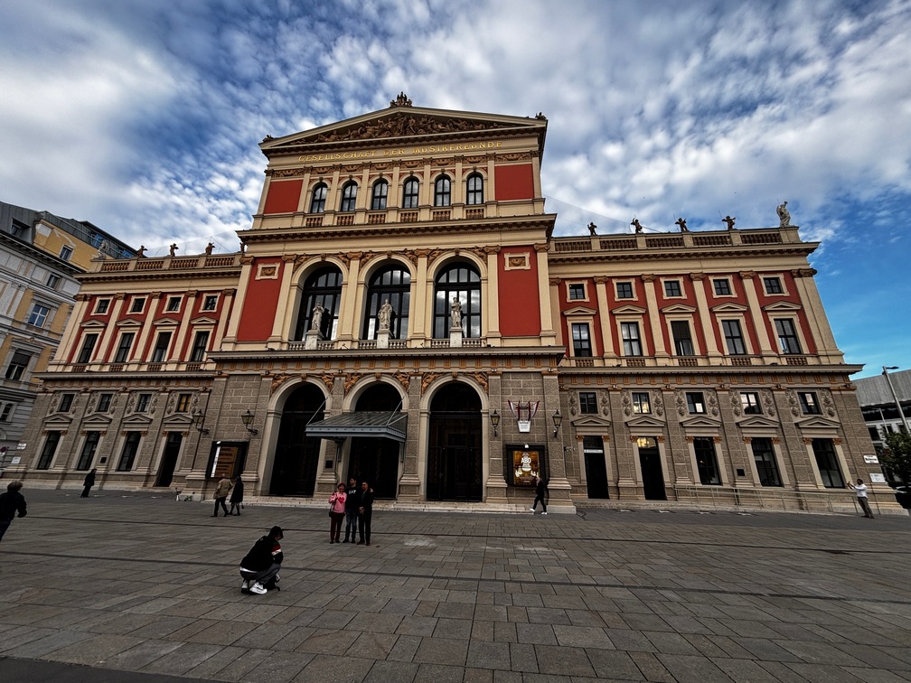
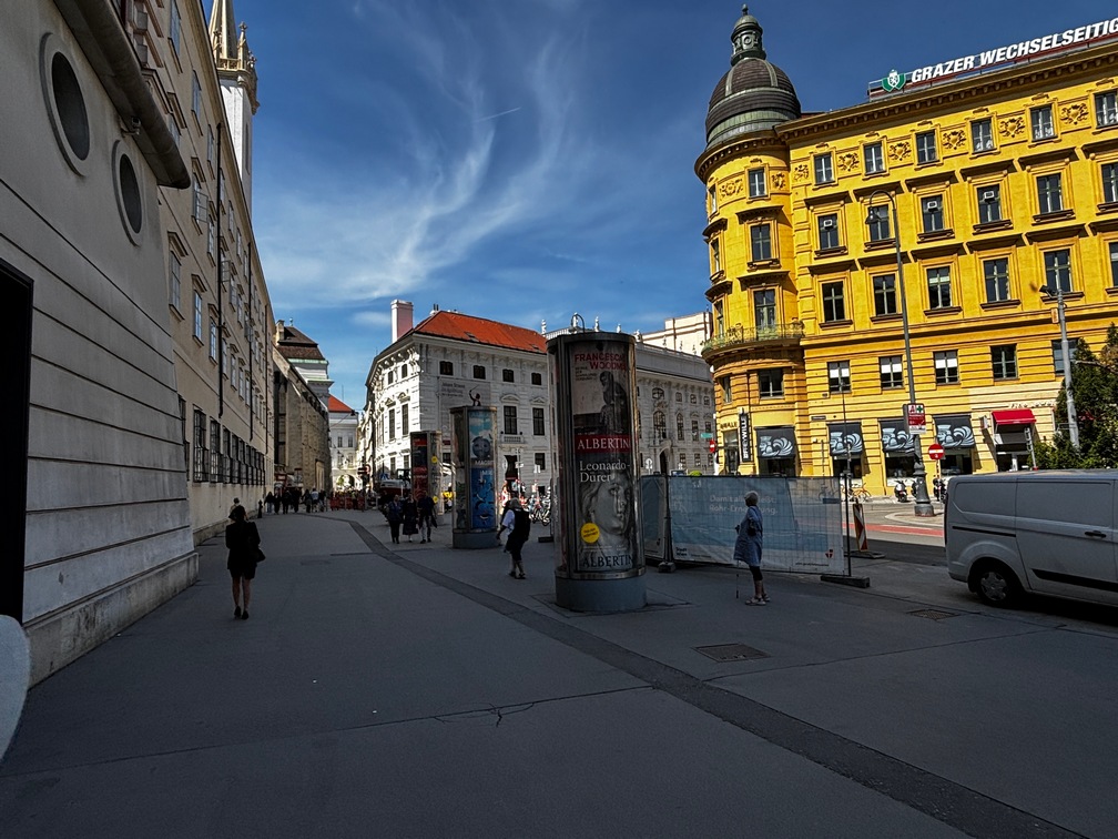
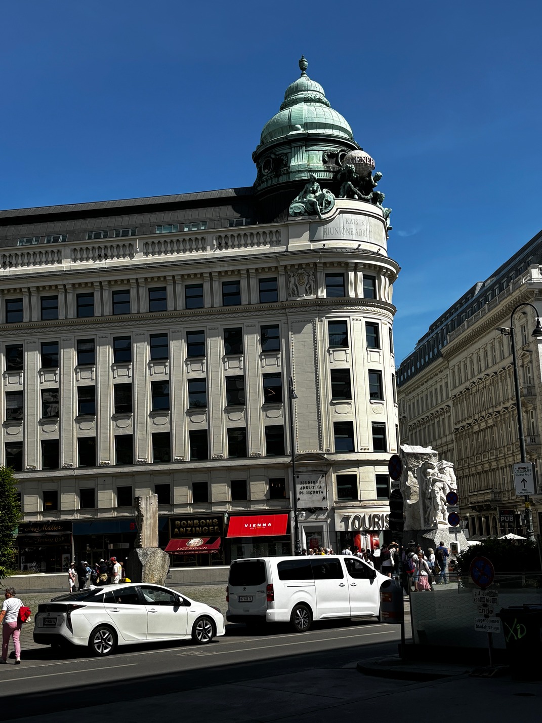
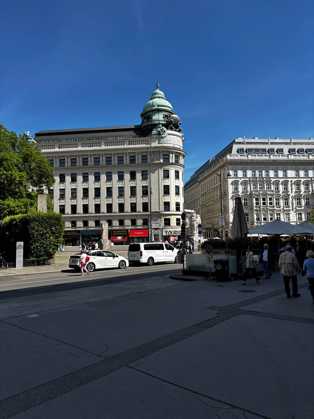
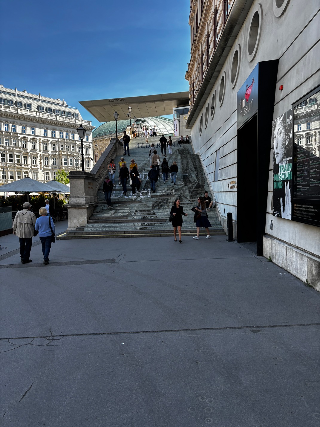
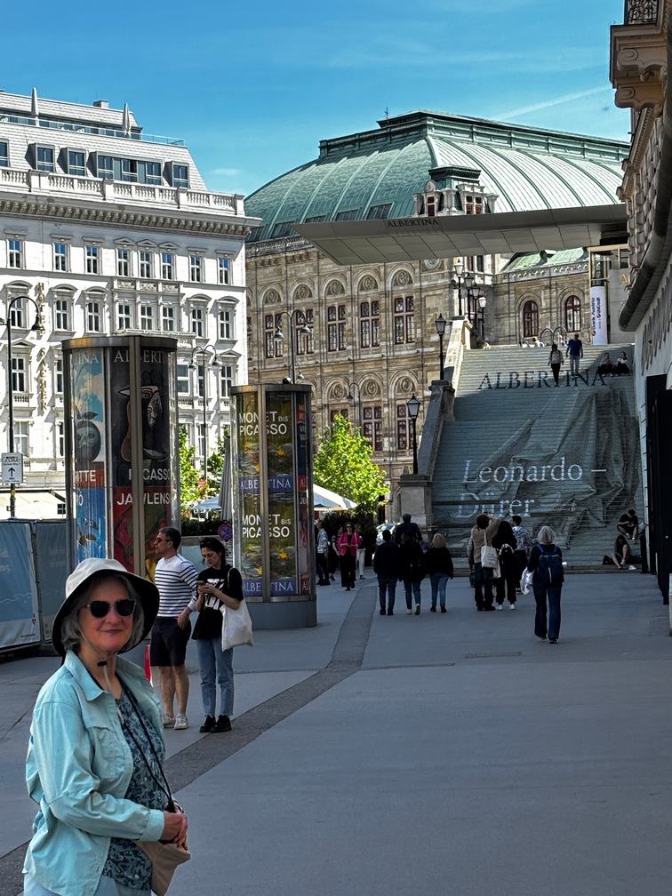
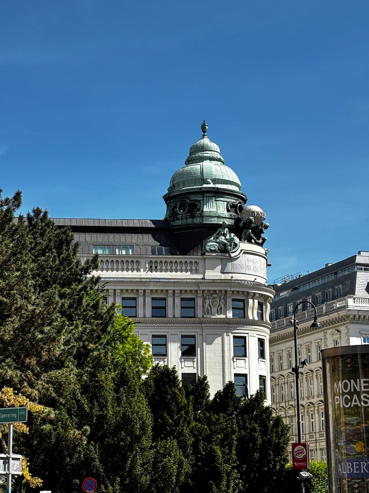
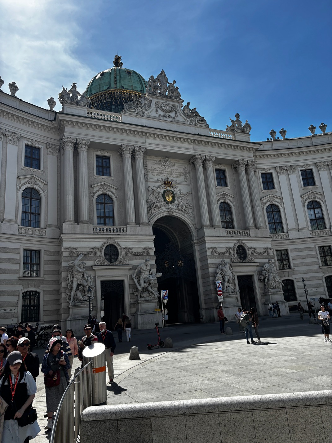
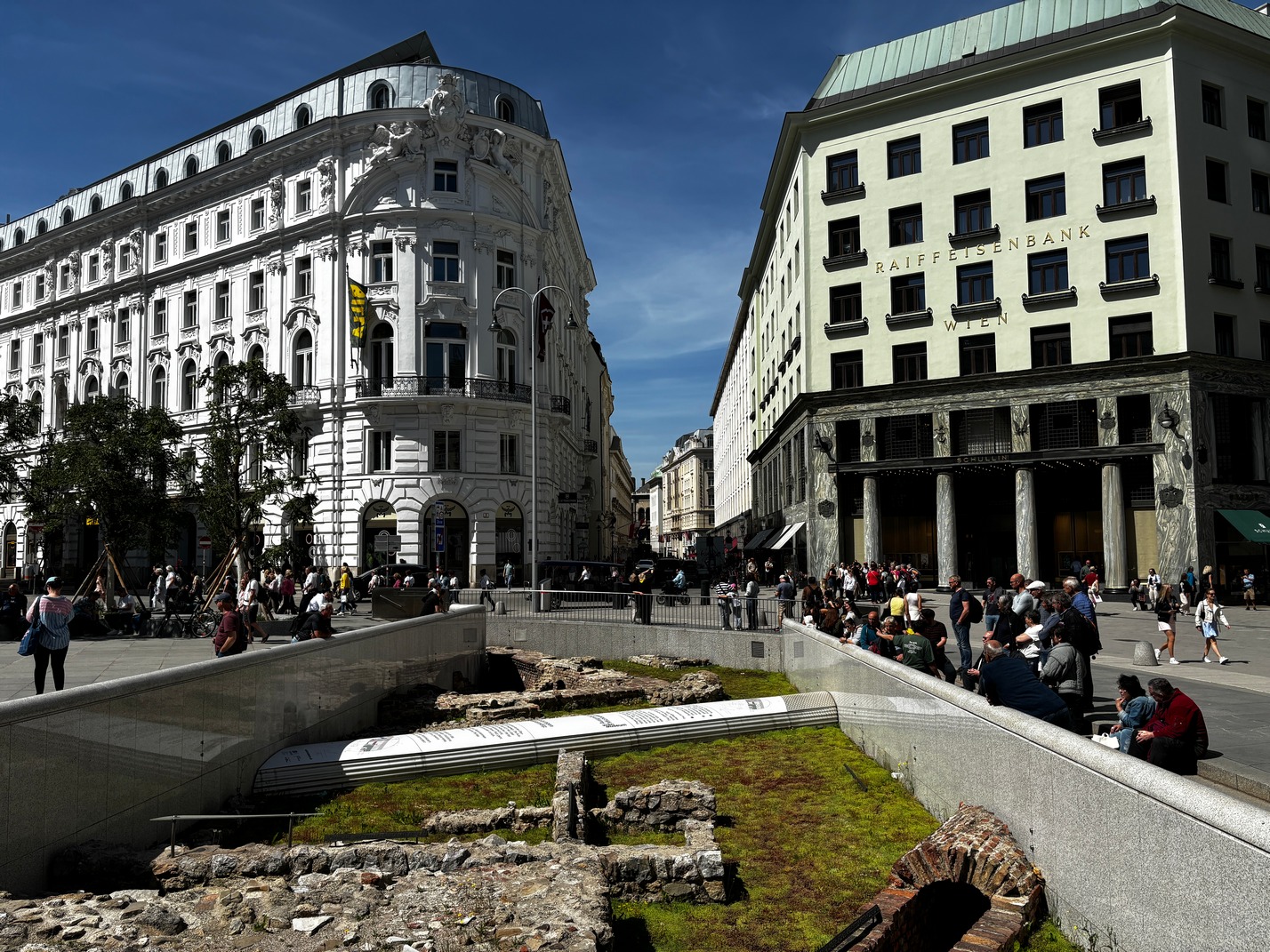
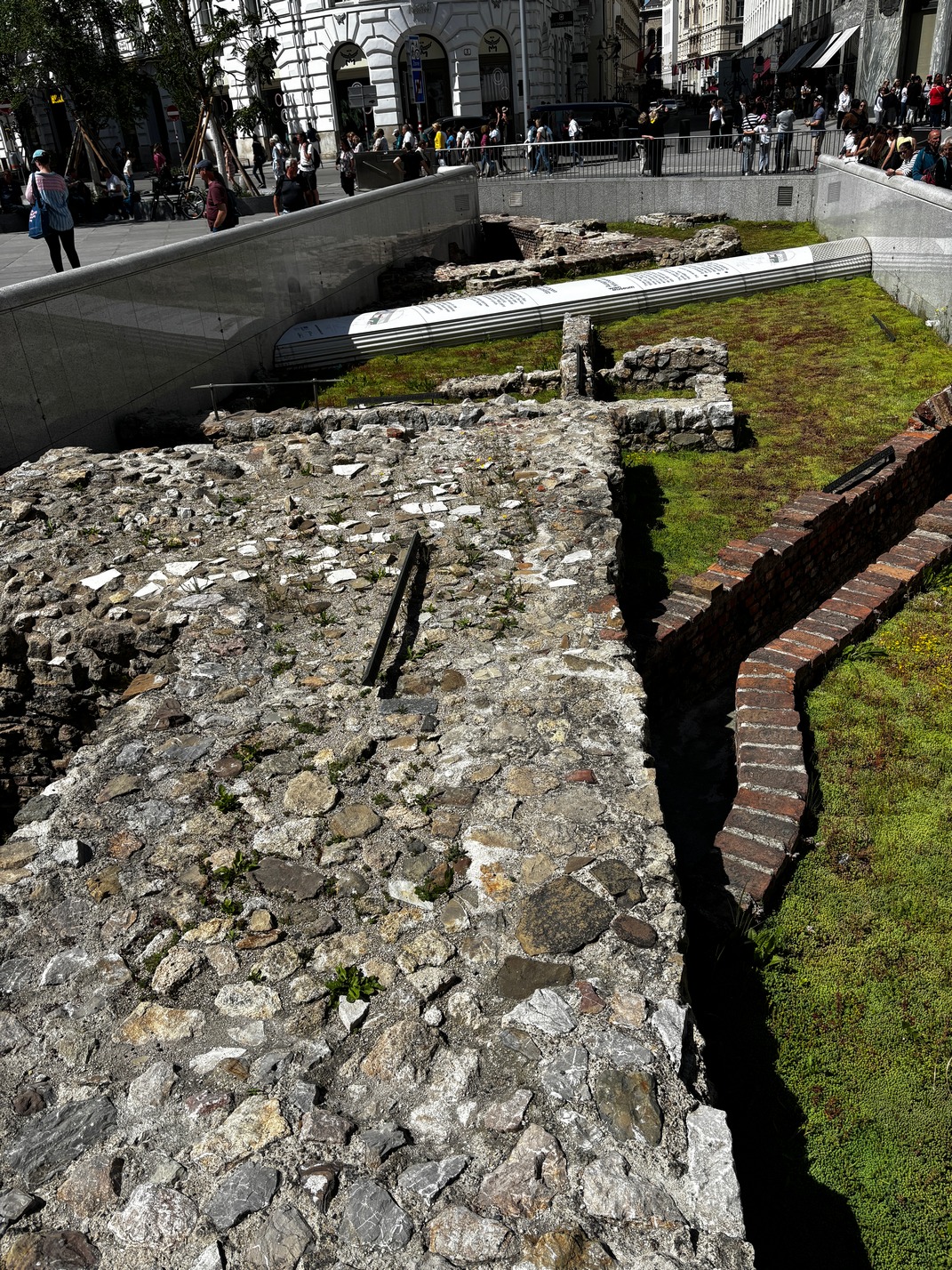
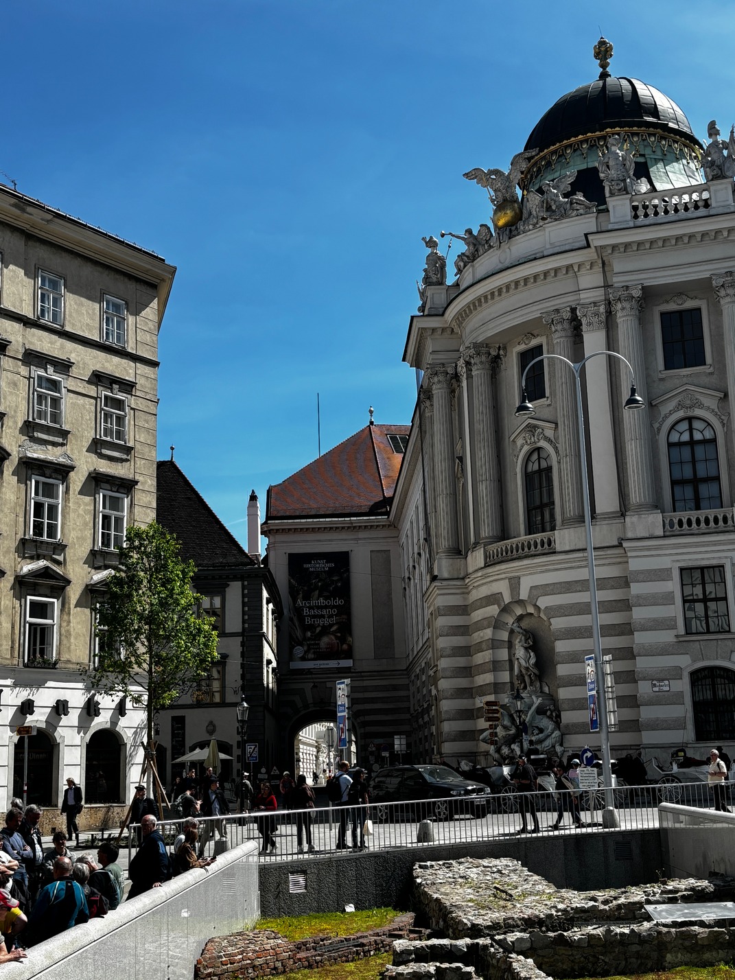
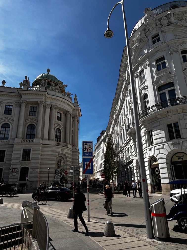
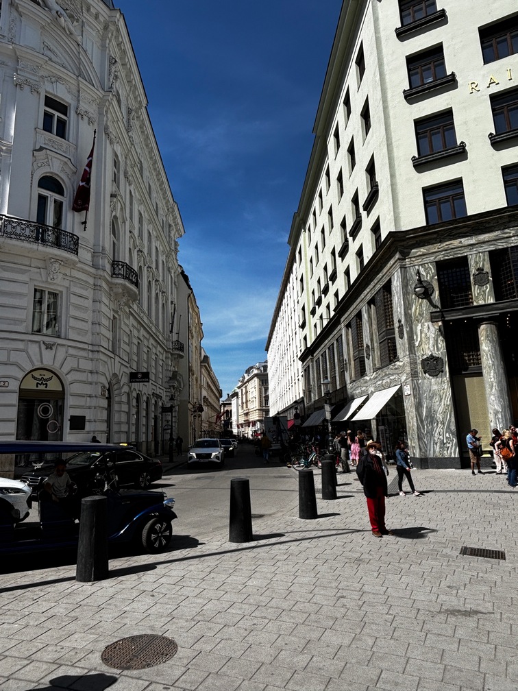
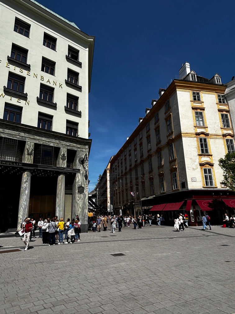
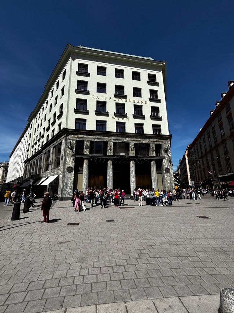
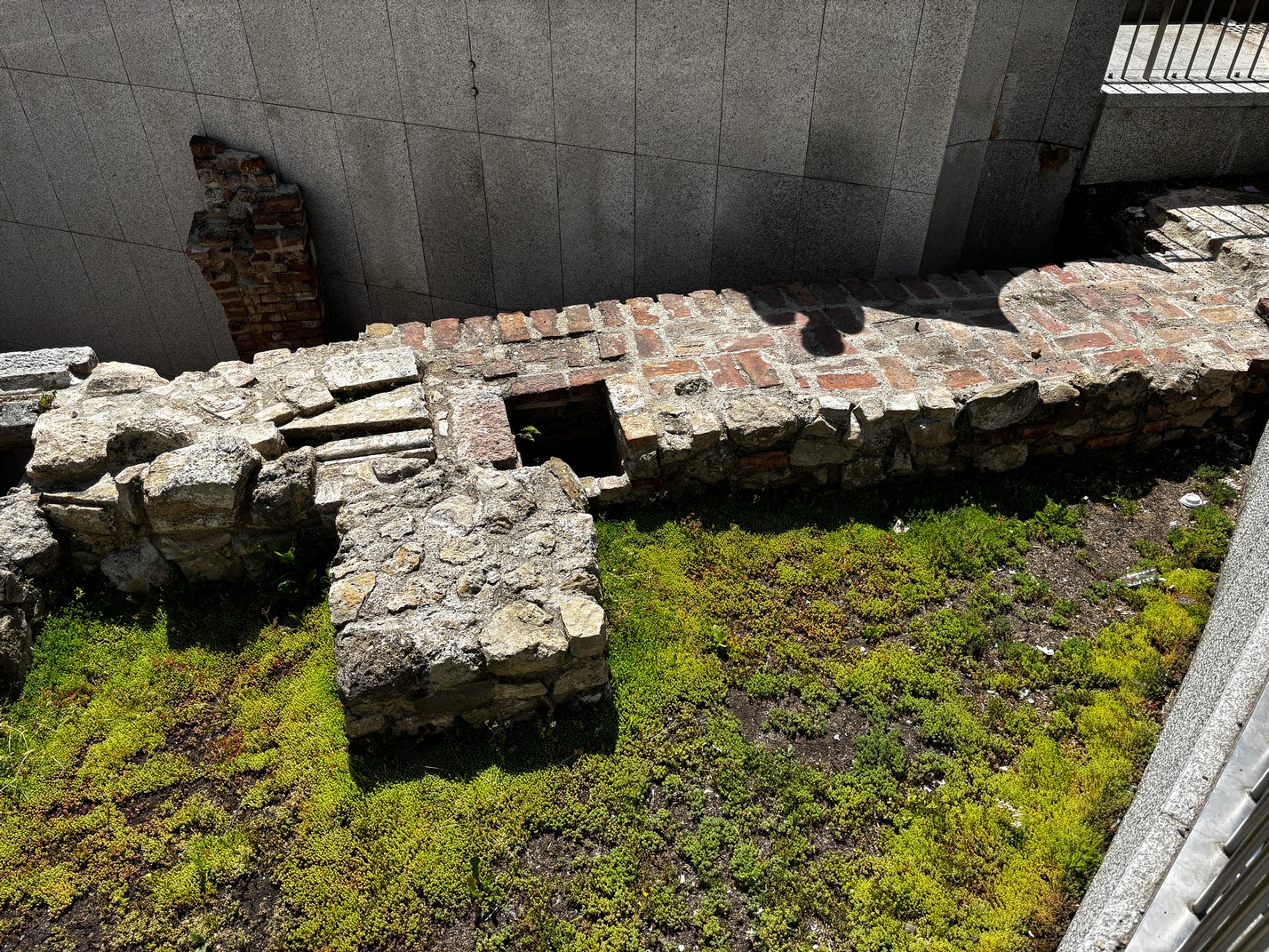
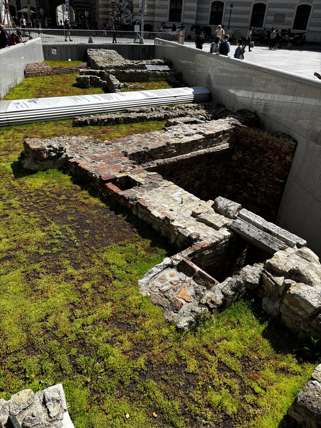
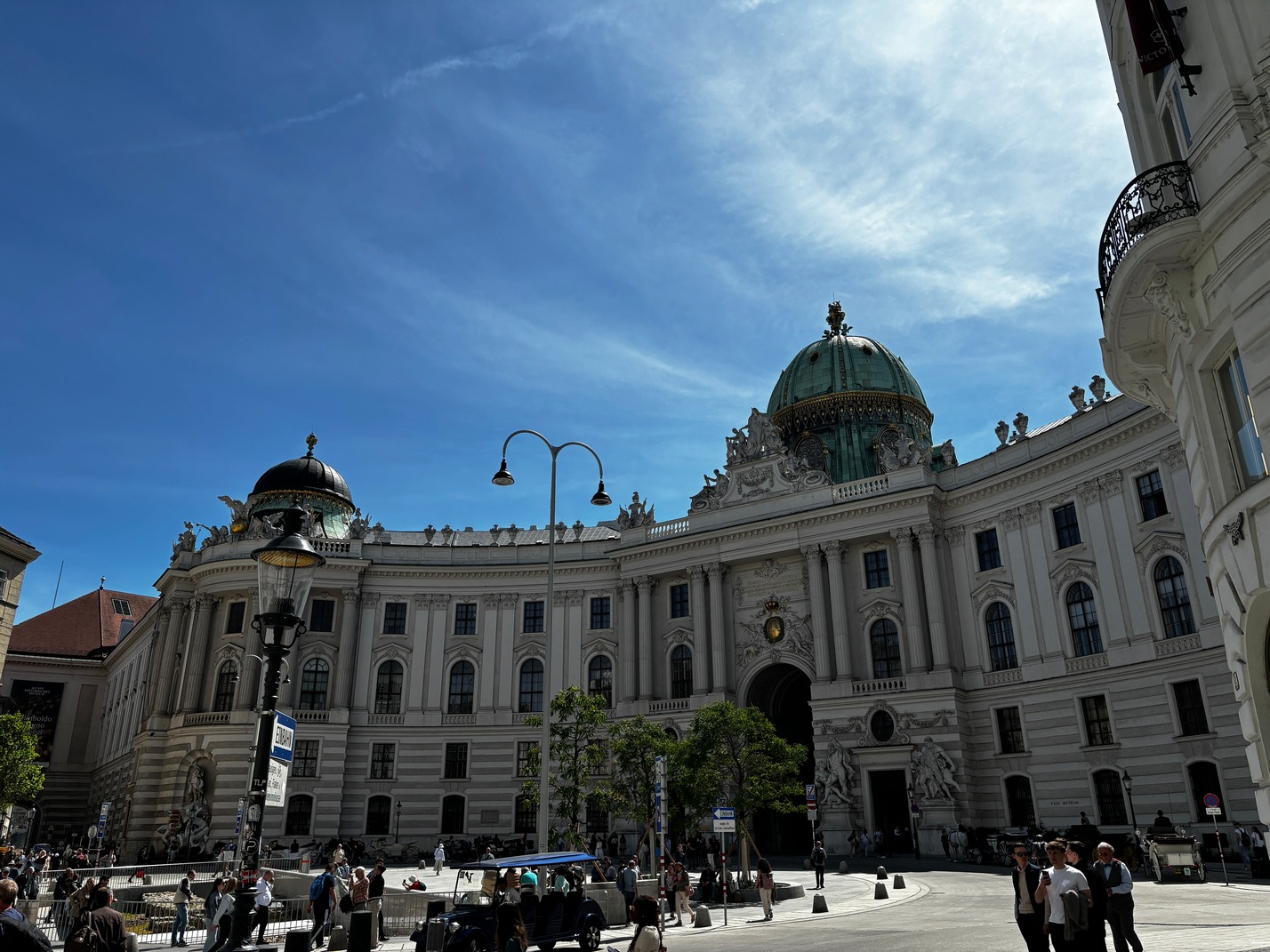
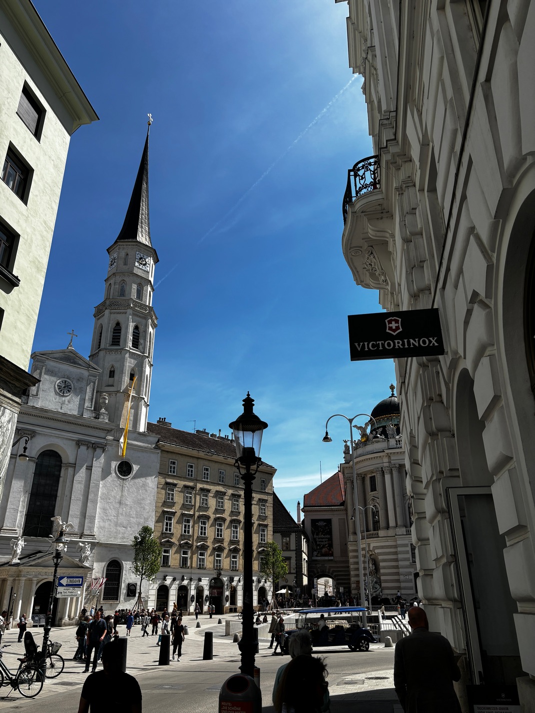
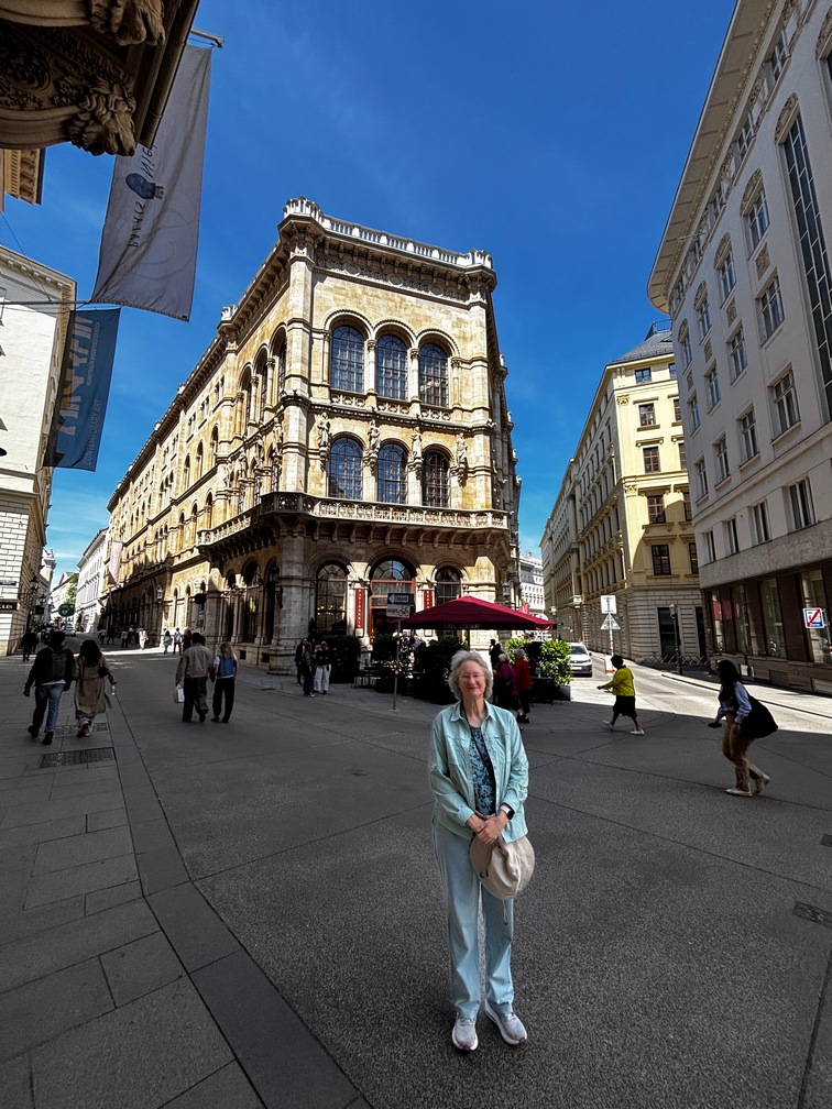
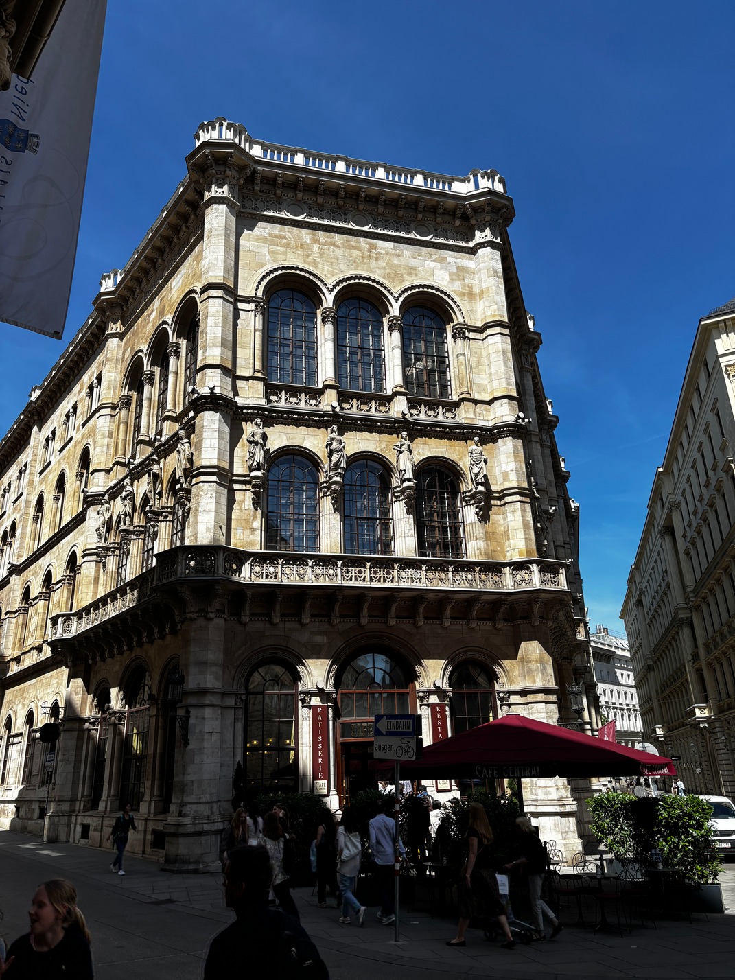
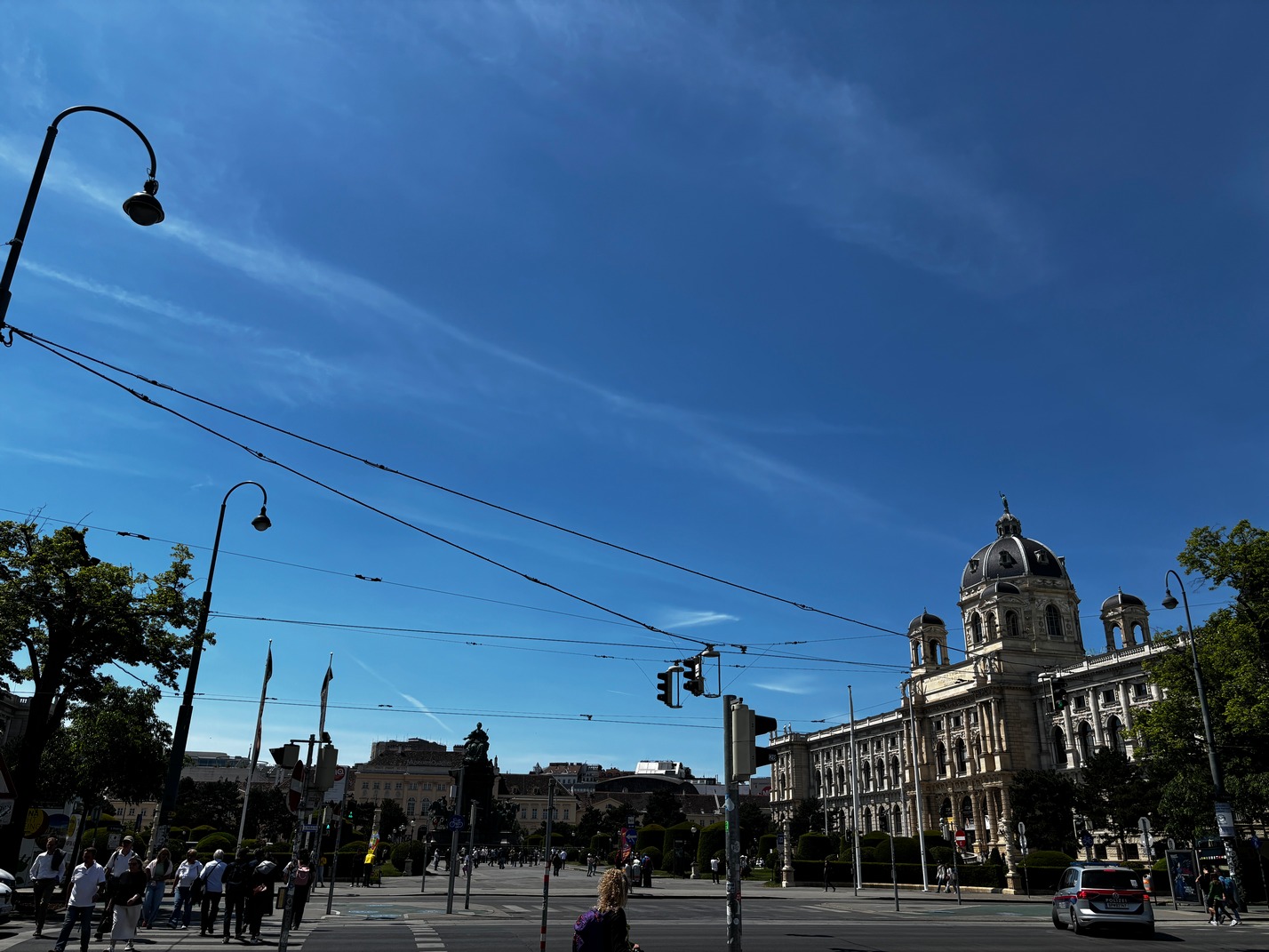
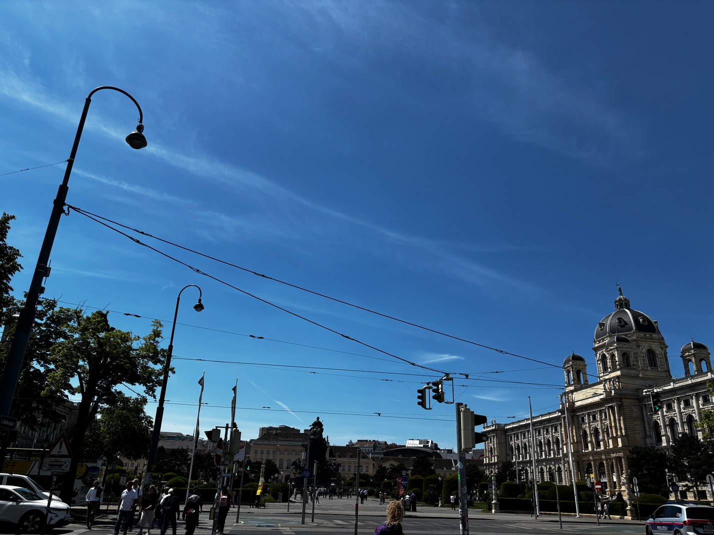
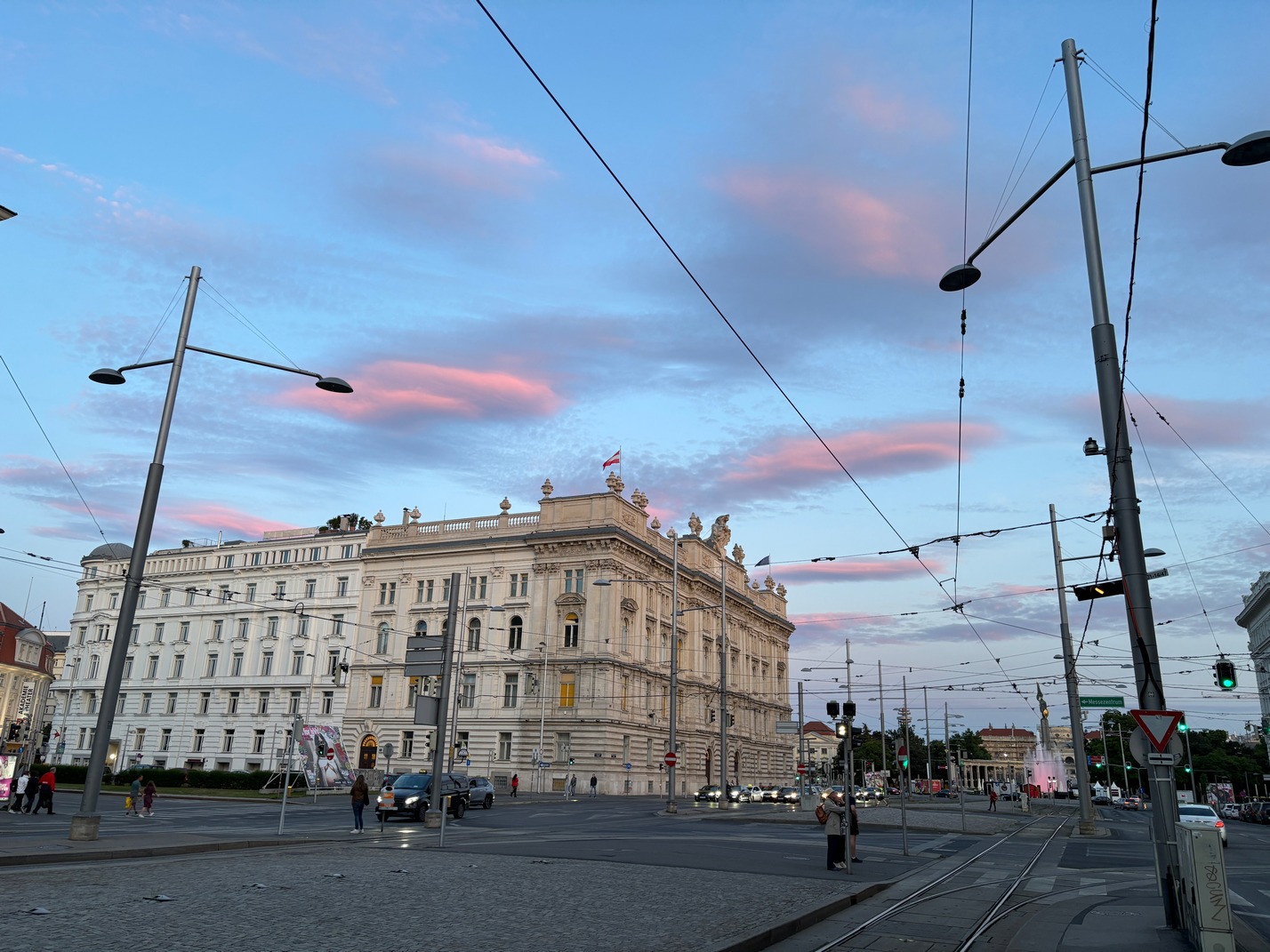
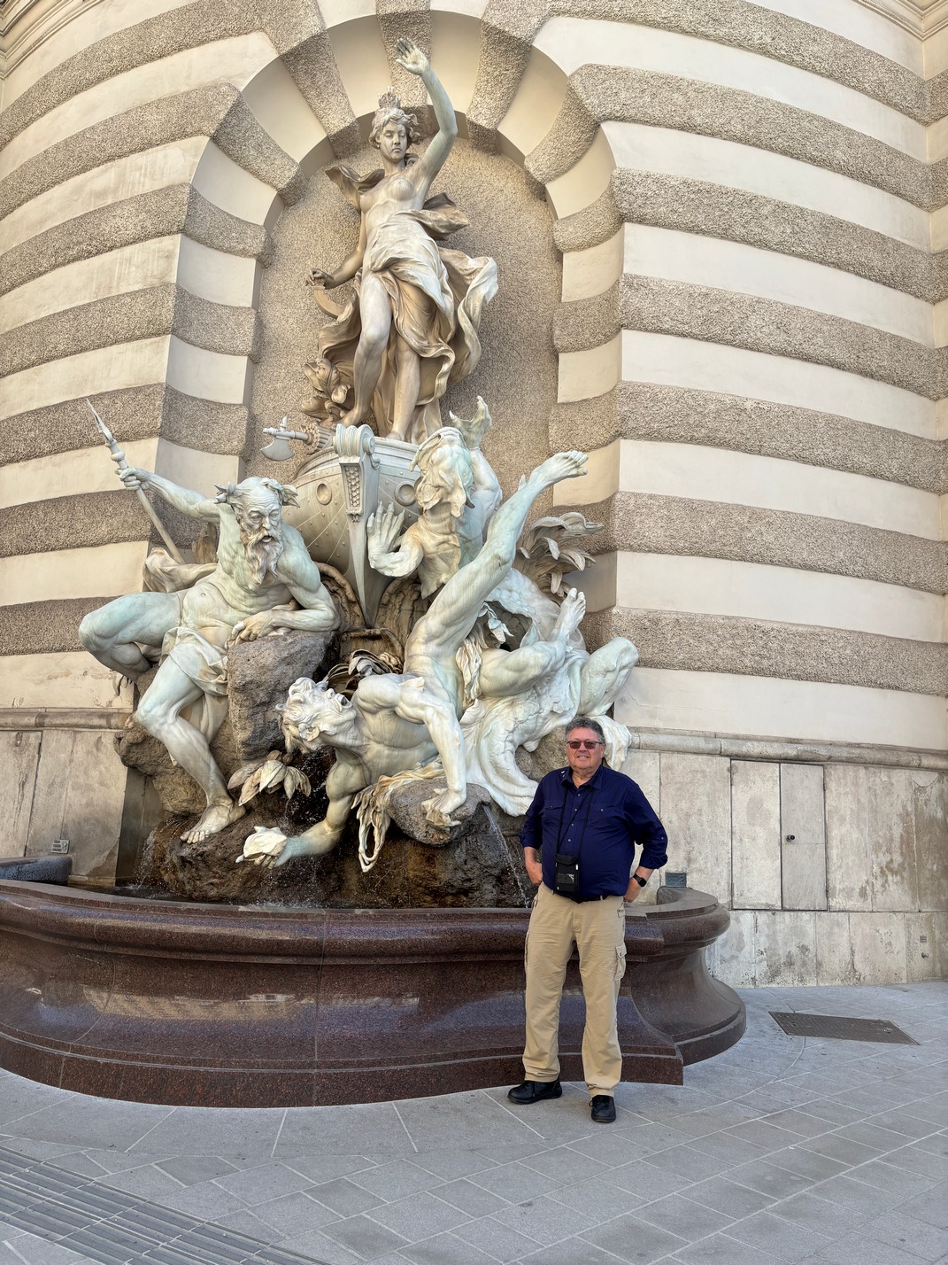
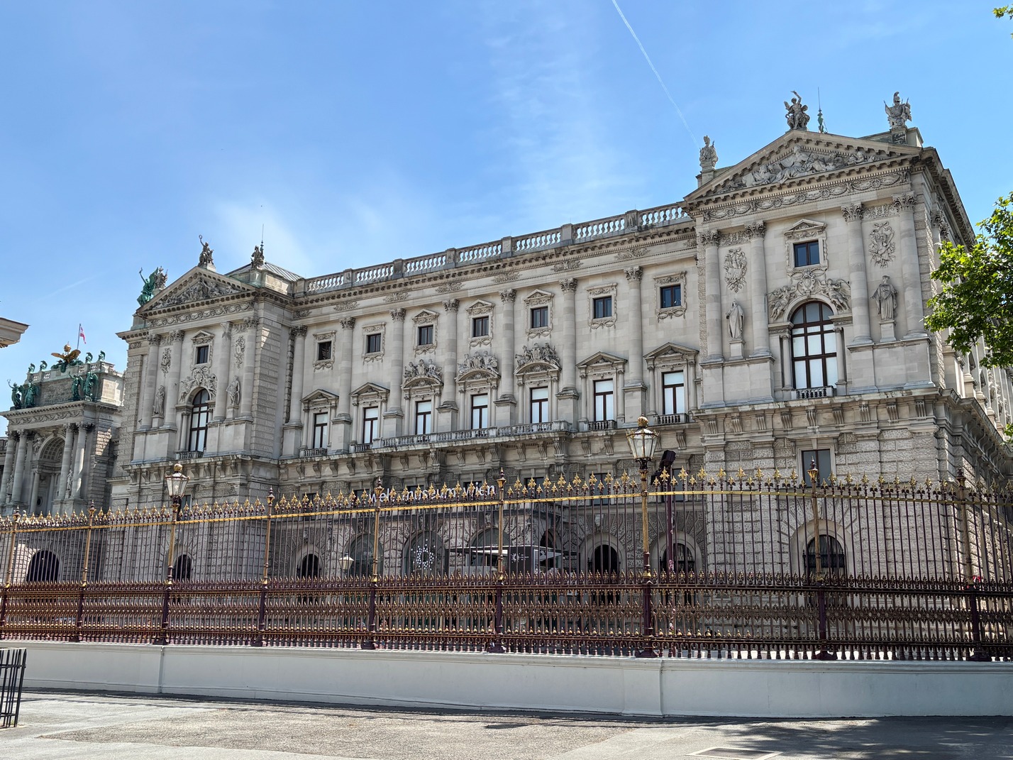
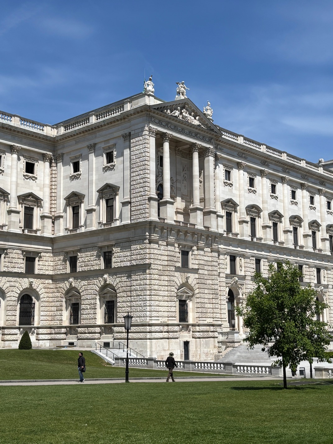
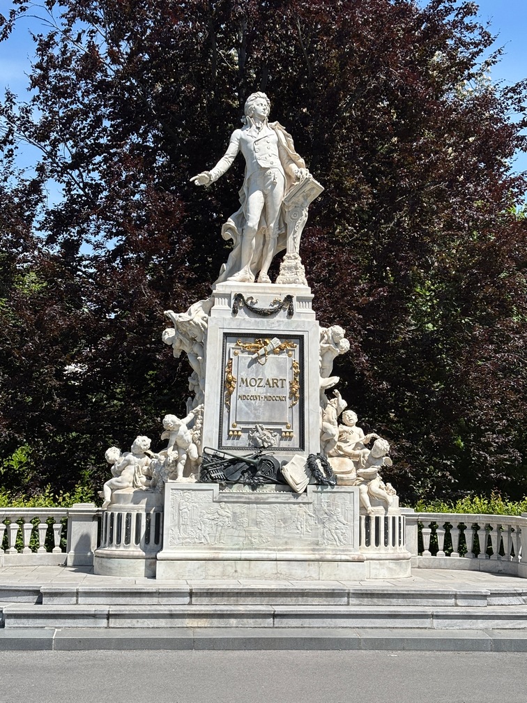
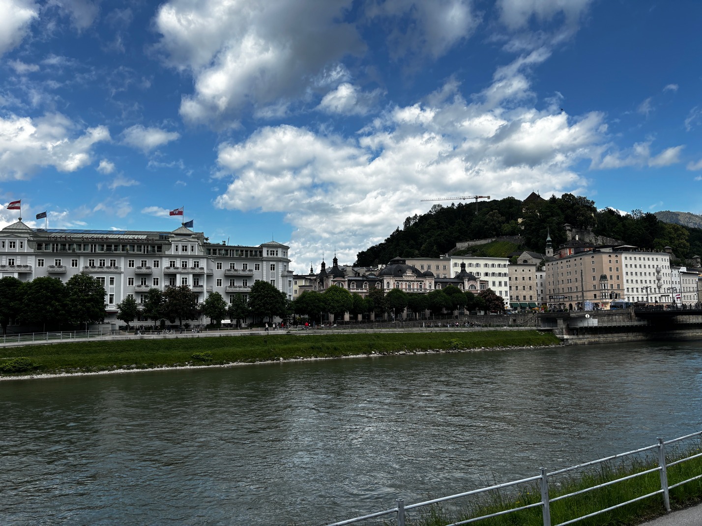
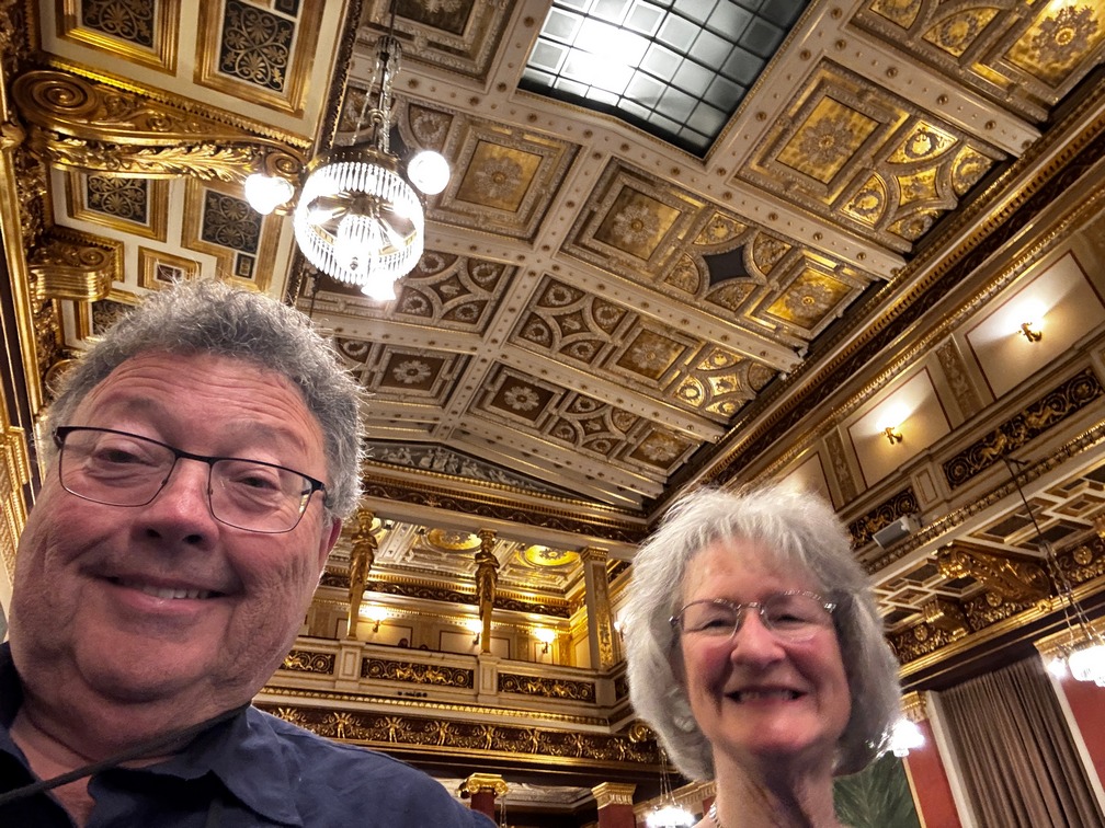
Vienna Austria
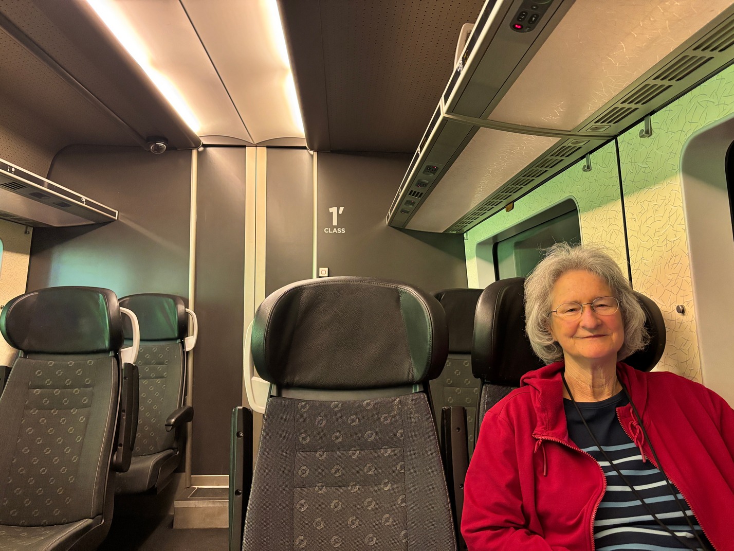
 We left Budapest on a Railjet train from Keleti Station. And we were due for some, luck it was there an hour early so we could board, stow our luggage and enjoy comfortable seating while we waited to leave Budapest for Vienna. For this trip we booked in Business Class, which was one step higher than or usual 1st class seats, for an extra €9. And they were very fine indeed. Instead of being right across from your seat mate, you were staggered giving everyone a lot more legroom. That was very nice feature, we have these booked from Vienna to Salzburg and from there to Munich four days later. From Munich we are back on EC type trains that are no where near as comfortable.
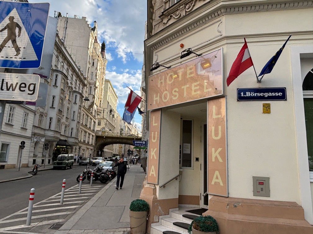
 Tami &Scott booked a separate place in Vienna as their son Chas was in town, we booked a place that turned out to be about as bad as it could get. The room was the size of a closet, a small closet. In order to sleep on the bed, the far person would have to climb over you. There was no other way to get to that side of the bed. This was nothing like the pictures of the room we booked. To add to the ambiance there was a very noisy macerator placed just behind the toilet bowl that turned on as you flushed. Also, the place seemed like a fire trap, it was like a maze to get to the rooms, must have been 15 doors to go thru to get to the elevator and a few more doors to find the room. If there had been a fire in the night, I’m pretty sure there would be no chance of finding the stairs in the smoke, I looked for them but was unable to find which door they were with the lights on and no smoke! I started calling around and after a couple hours found another place for the 4 nights in Vienna and we Uber’d over there. For the same exact money we got a very nice hotel room about 5 times the size (a normal budget room) with a very nice bathroom and a shower about as large as ours at home. (5’x5′) It was also right next to a Tram stop. The folks from the prior place would not give me my money back. I am going to leave reviews of them everywhere I can, I felt like I was defrauded by their fake pictures.
While working on finding a new place to stay I found a highly rated Mexican joint and we walked over and had dinner. We were pleasantly surprised by the food. Reminded us a bit of Chipotle back home. On the walk over I spotted a hotel that wasn’t on the google map for hotels. It was called the Orient Hotel. I walked inside and it was an odd looking older hotel, lots of red velvet. I asked the guy over in the corner if it was a hotel and he said it was a “special” hotel, they only rented rooms for 3 hours at a time.
Tue Next day we had great Goulash at a small sidewalk cafe a short tram ride from the hotel and later for dinner we found a Chinese joint that was really good. I had to figure out how the public transit worked in this new city. They don’t have tap 2 pay here yet. Each train has a ticket machine at in one of the front tram cars. It worked well, but was a bit difficult to use as the tram is moving by the time you find it. There was a button for English and 2 senior tickets were €3 for your trip and most of the time the machine let you tap your card to pay. (tickets were only good for one direction of travel) not for a certain amount of time like in other cities. After doing the ticket machine a bunch of times I decided to give the Phone App a try, it was much simpler and you could get the tickets prior to boarding so it was was easier to do right there at the stop while waiting for the next tram to arrive. (there were a lot of trams, they arrived never more than 6 minutes apart)
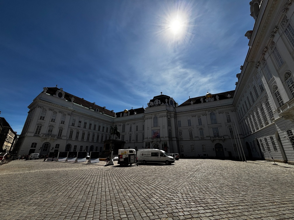
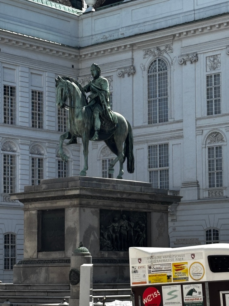
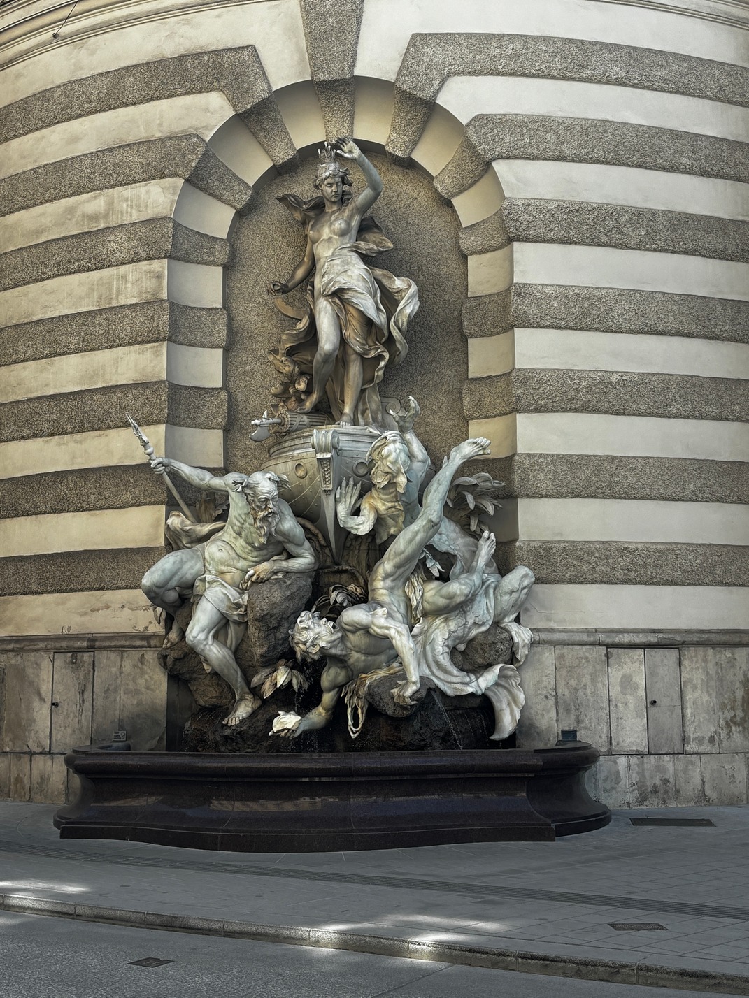
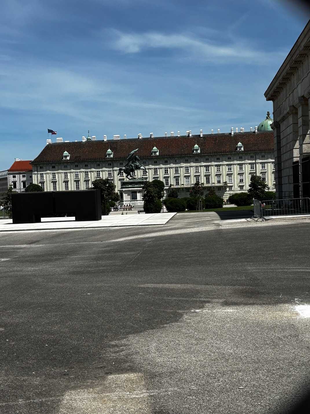
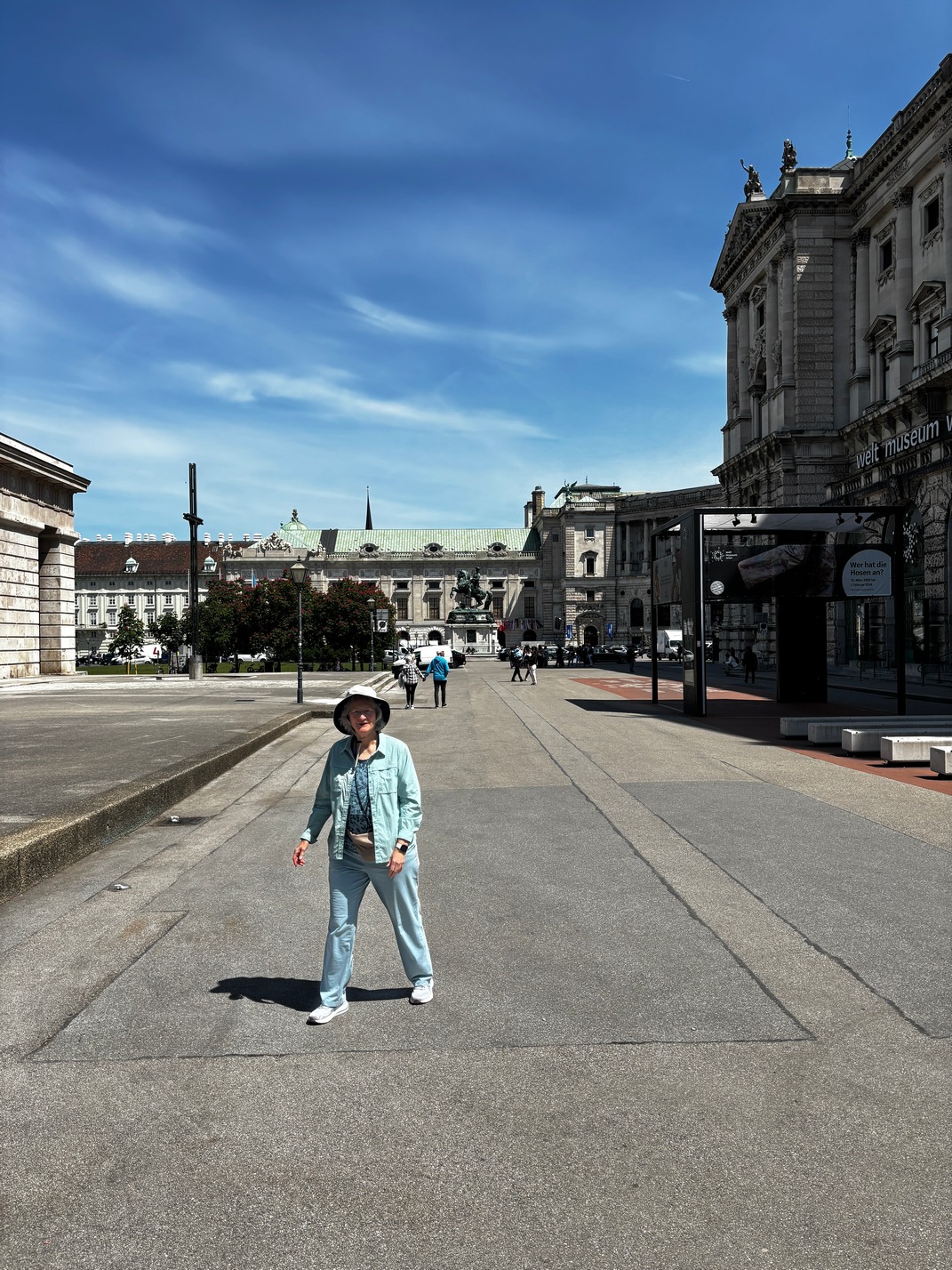
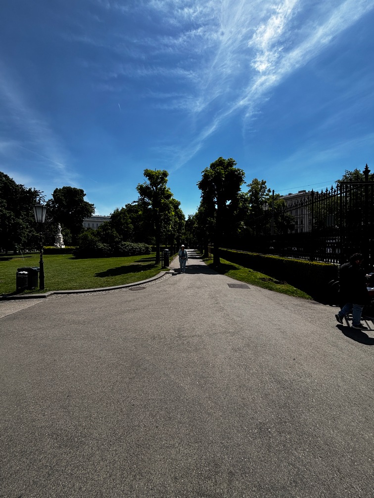
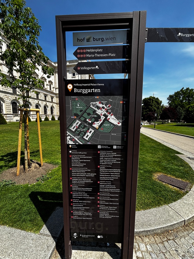
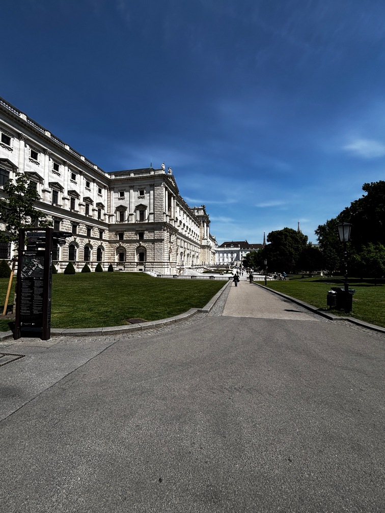
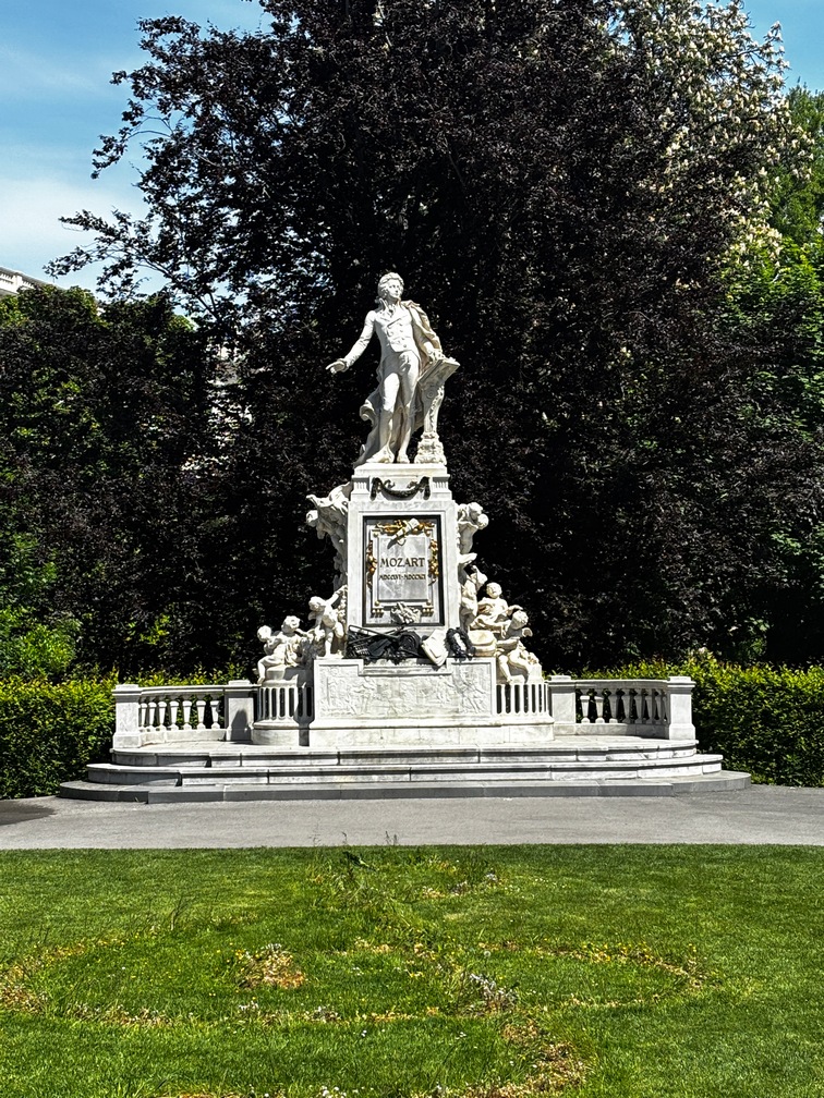
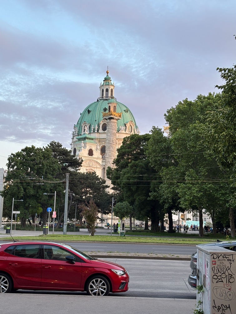
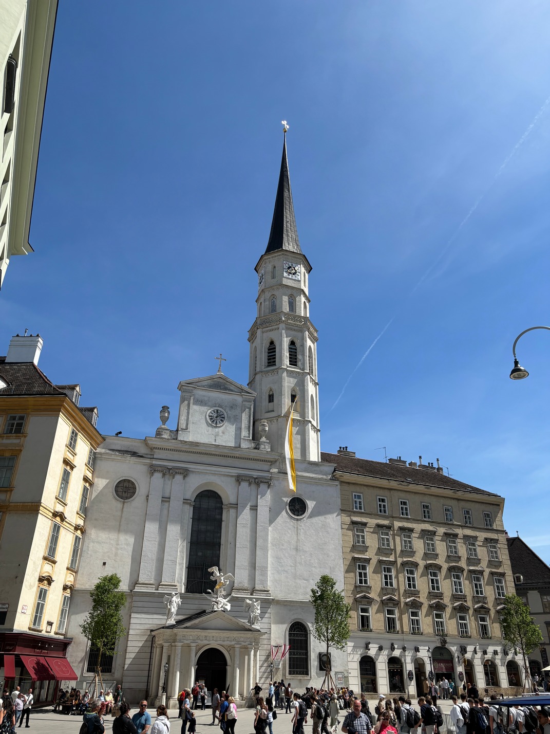
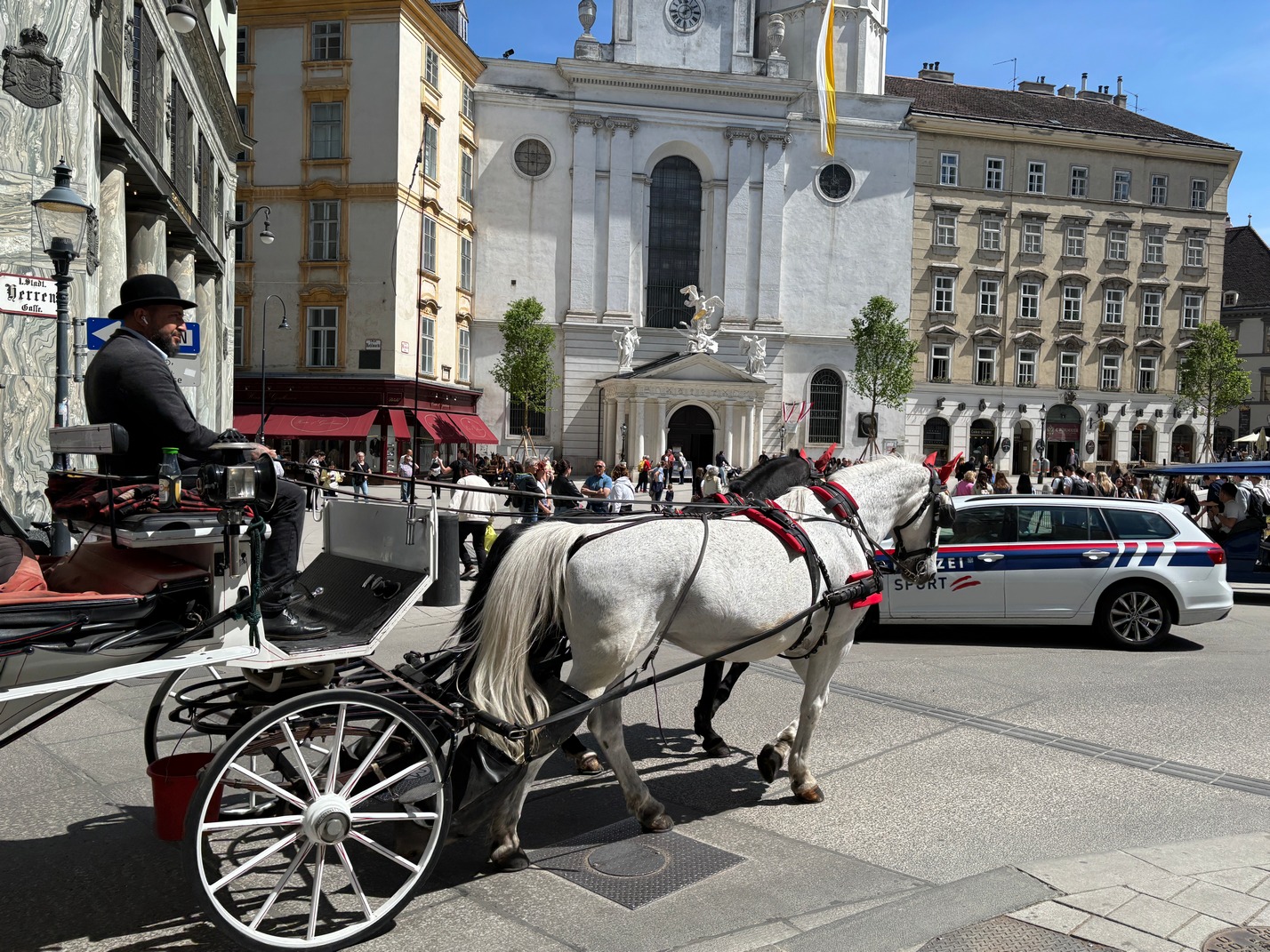
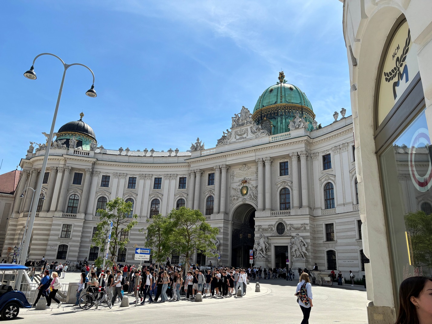
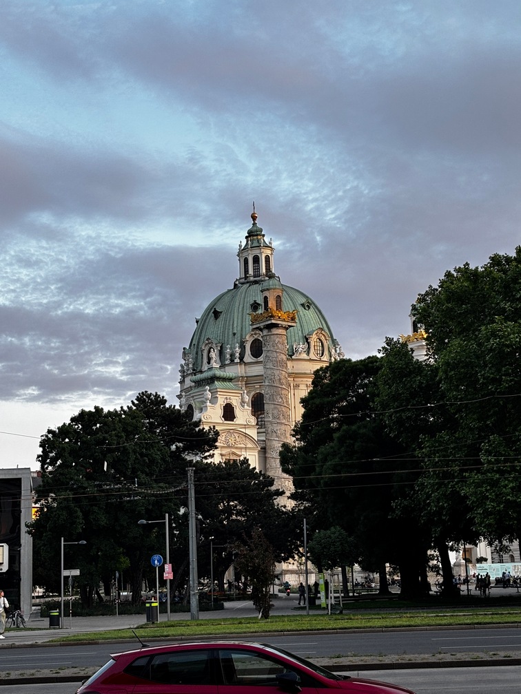
 Wed, we took the tram down to the center of town and
 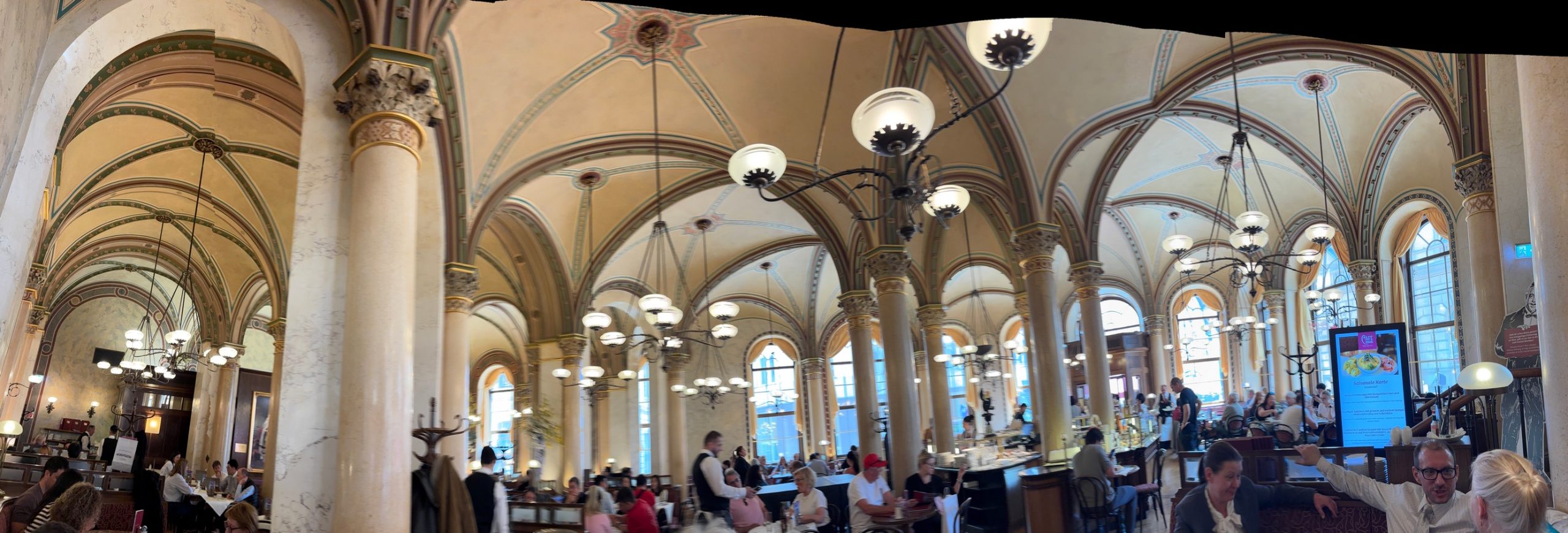 wandered around the palaces and gardens till lunch time and then hit up a place I had wanted to go since seeing a video of it probably 25 years ago. The City Center Cafe. It did not disappoint. Quite a beautiful place and the food was excellent too. Our waiter seemed to be able to read our minds too, no small feat, I cannot remember that ever happening before, anywhere.
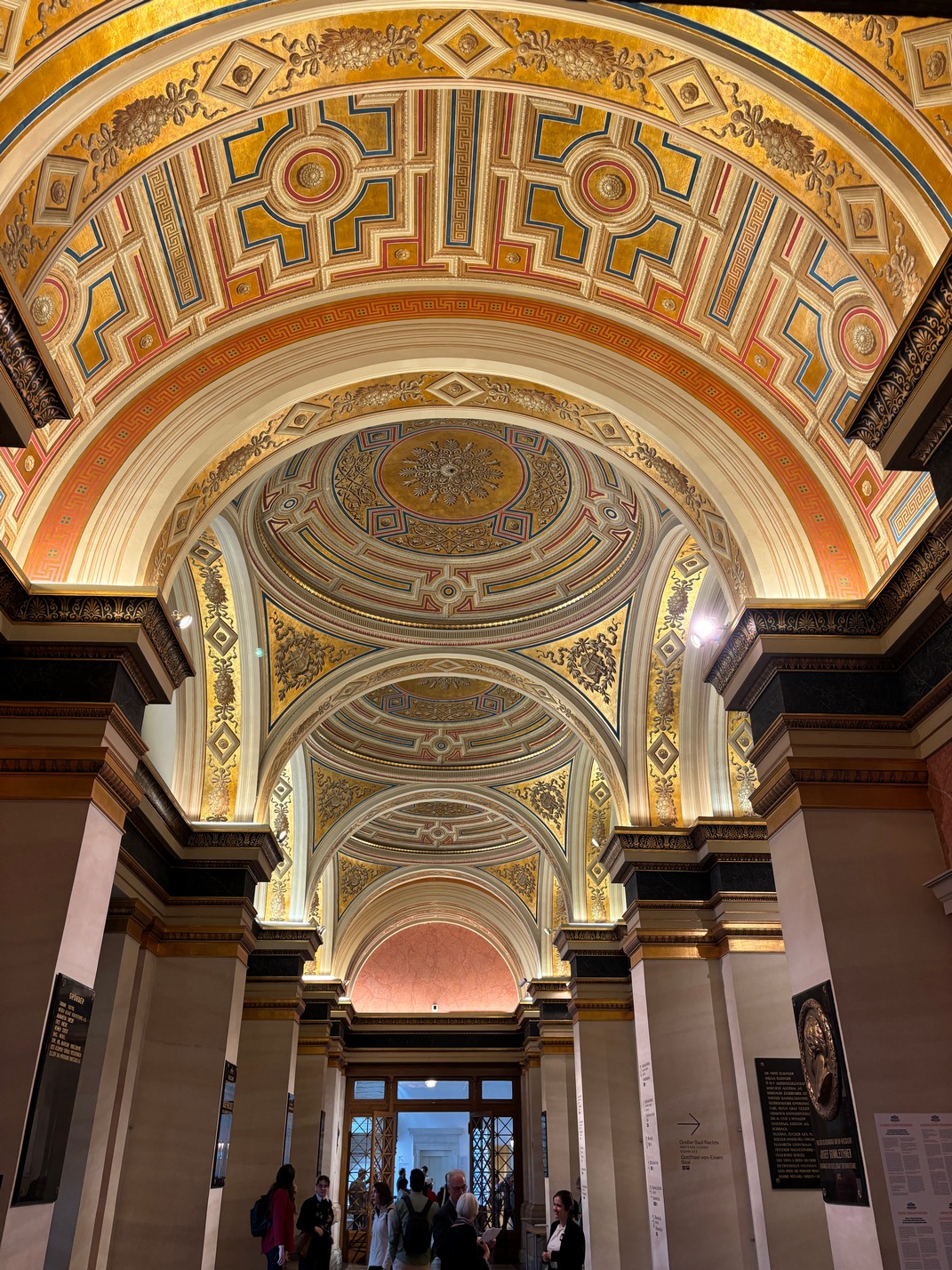
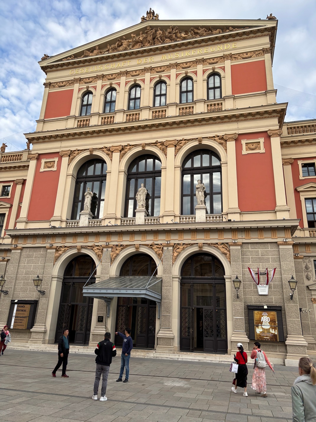
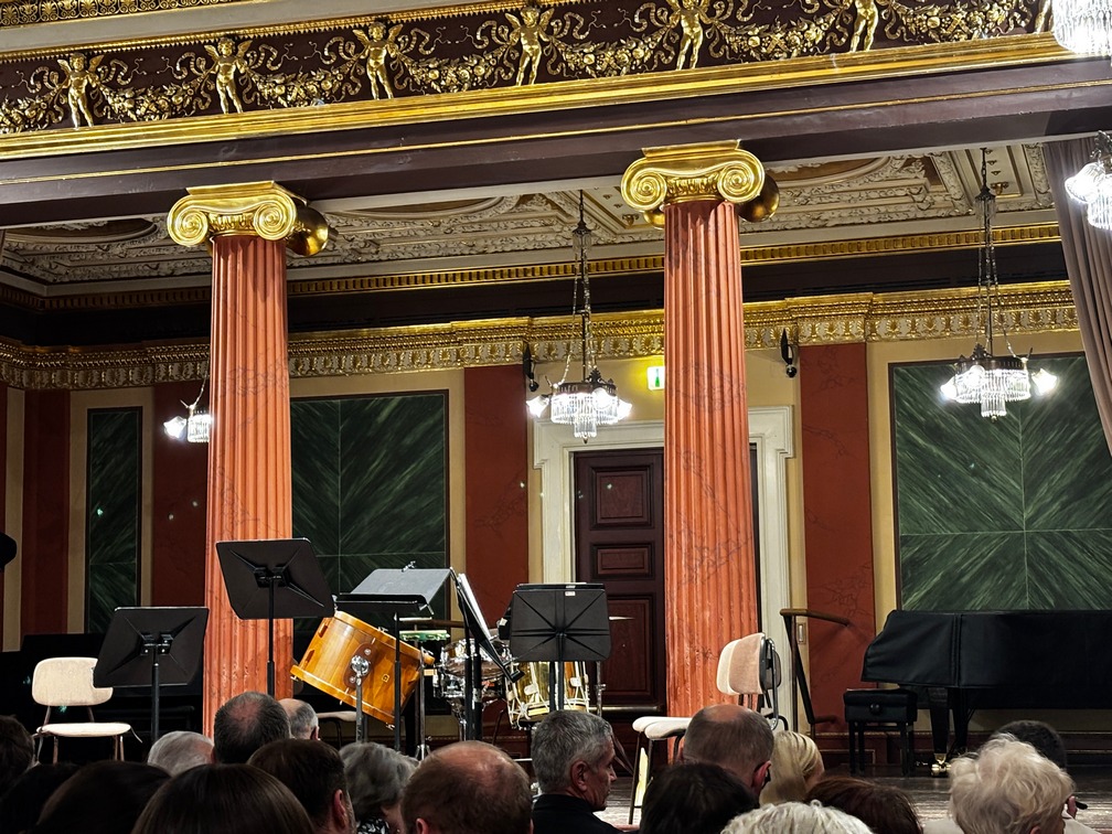
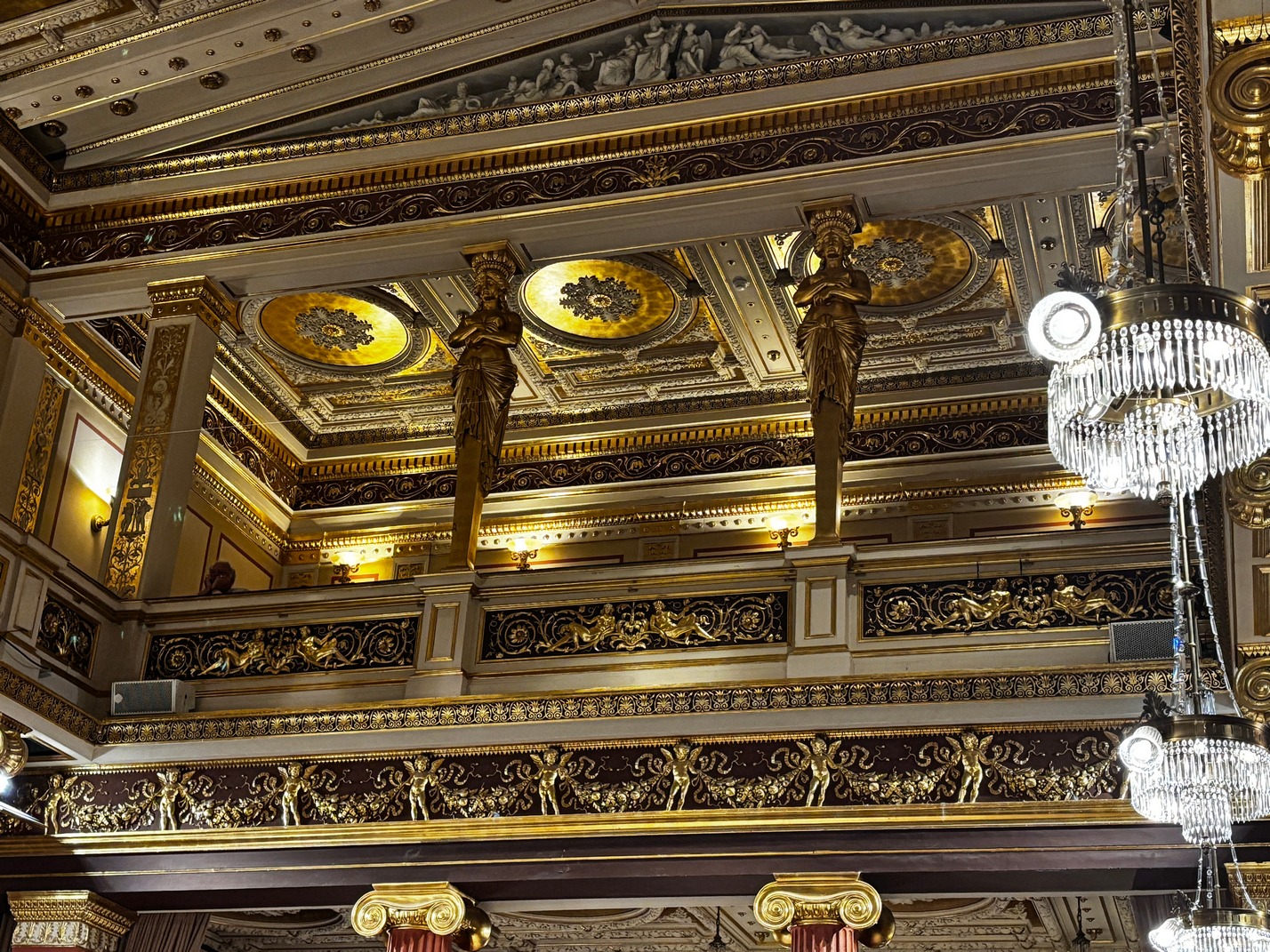
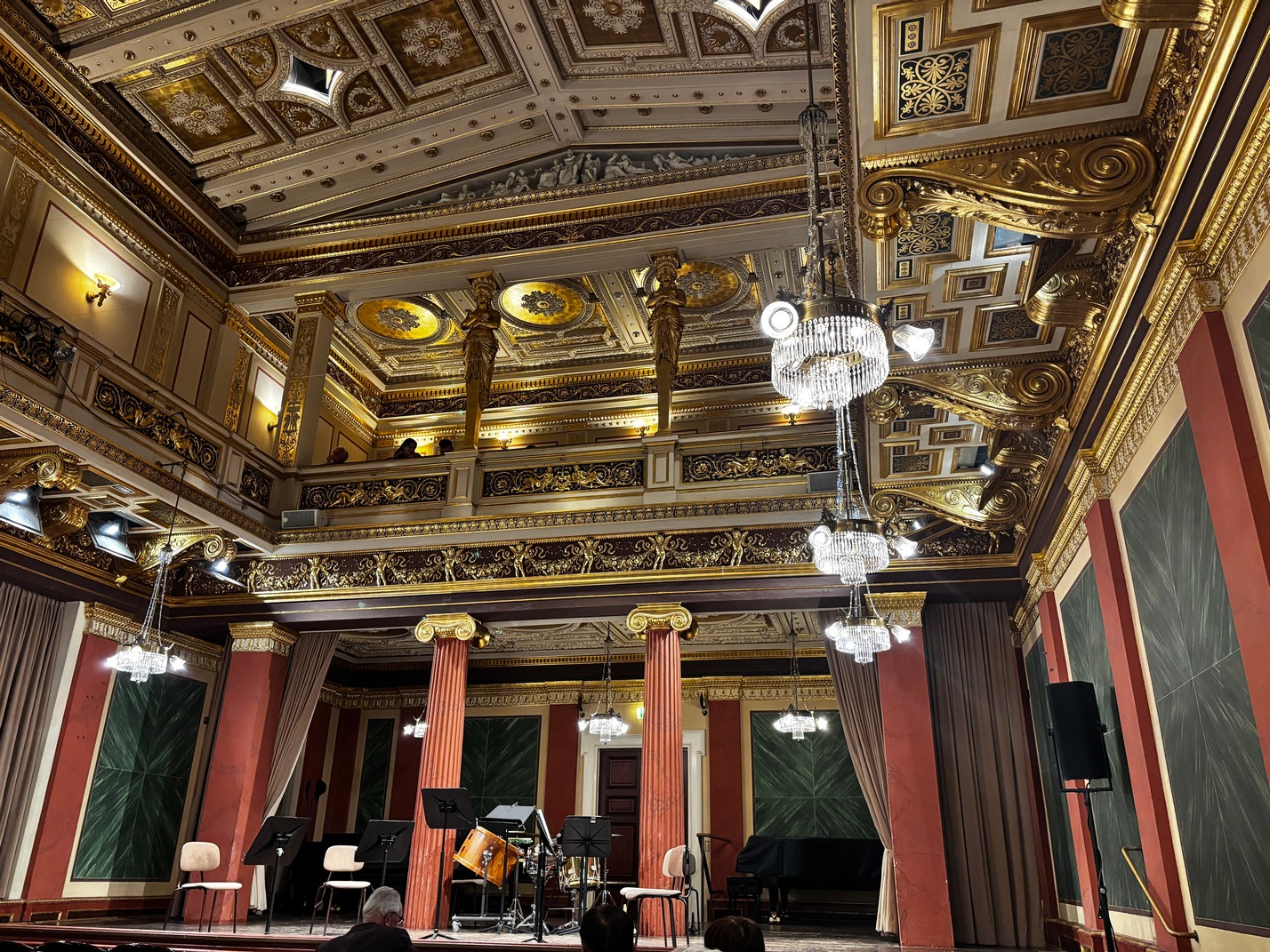
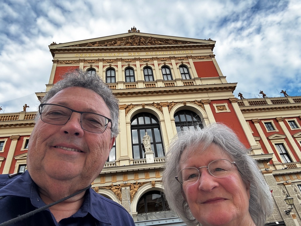 We had tickets to a concert in the Musikverein (Vienna Music Society) which turned out to be very odd. There were two sections to the building and we were in a smaller venue with a small band, maybe 7 pieces. It started out great but after 15 minutes they stopped and left taking their instruments. About 10 minutes later more performers came out than there were before and also a woman without an instrument. Turned out she was going to read us a book while the band looked on. Occasionally she would stop and the band would play 15-20 seconds of music and then she would start again. I have no idea what she was telling us, just a lot of guttural utterances. We took off at intermission, which didn’t come quickly enough.

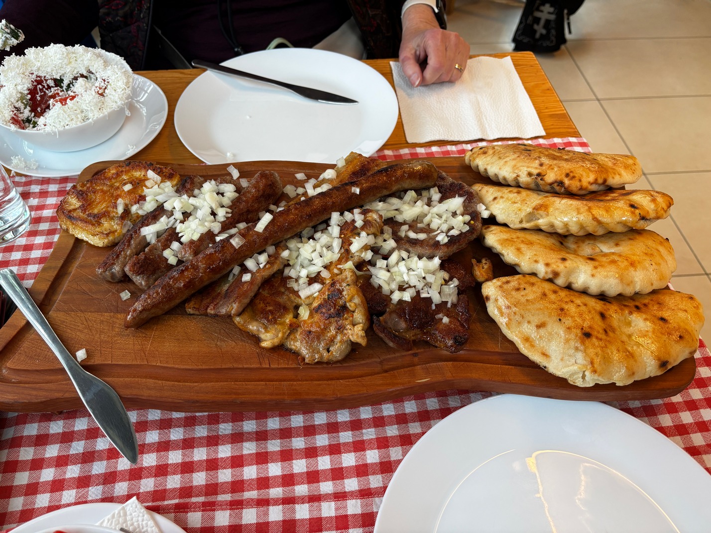 Thurs, we laid low today and snuck out for lunch to an amazing little Viennese joint. We got the mixed grill plate to share and I was shocked how much food they brought. We had a lot of leftovers, but no fridge to bring it all back to.
Friday morning we packed up and hopped on the tram toward the Rennweg tram stop, got off and walked about 100 yards over to find the connecting tram stop. I thought the R3 was another tram or bus, but when we got to that tram stop I could see on schedule for that stop there wasn’t a R3 or similarly numbered tram or bus on the sign, rechecking G maps I could see I was not exactly in the correct place, very very close, but not quite on it. We had to backtrack a 100 feet and found a walkway that led to the entrance (completely unmarked) of a Metro station (Subway). We fumbled around to figure out what platform by watching what direction the trains were going. Then an R1 train pulled in and I checked on the schedule, it too went to the Central Vienna Station and we jumped on. Kathy barely in tow.
We arrived a few minutes later and proceeded to take a myriad of lifts and elevators to find platform 7. We were a bit early so stopped at a cafe inside the station and I drank a Cafe Americano. (the closest thing to Coffee from home)
We met Tami and Scott up on the platform were the mentioned they were in coach 37 (we were in coach 27) I asked if he was sure as earlier in the morning when I looked up the train configuration online there wasn’t a coach 37 listed. But there was a sign on the platform showing a coach 37. When the train pulled into the station we could see there wasn’t a coach 37. Luckily about 15 minutes later they added a bunch of other cars (another #27) and they were told that 27 was really 37 on the new additions so they got on for the 3 hour trip to Salzburg.
![]()