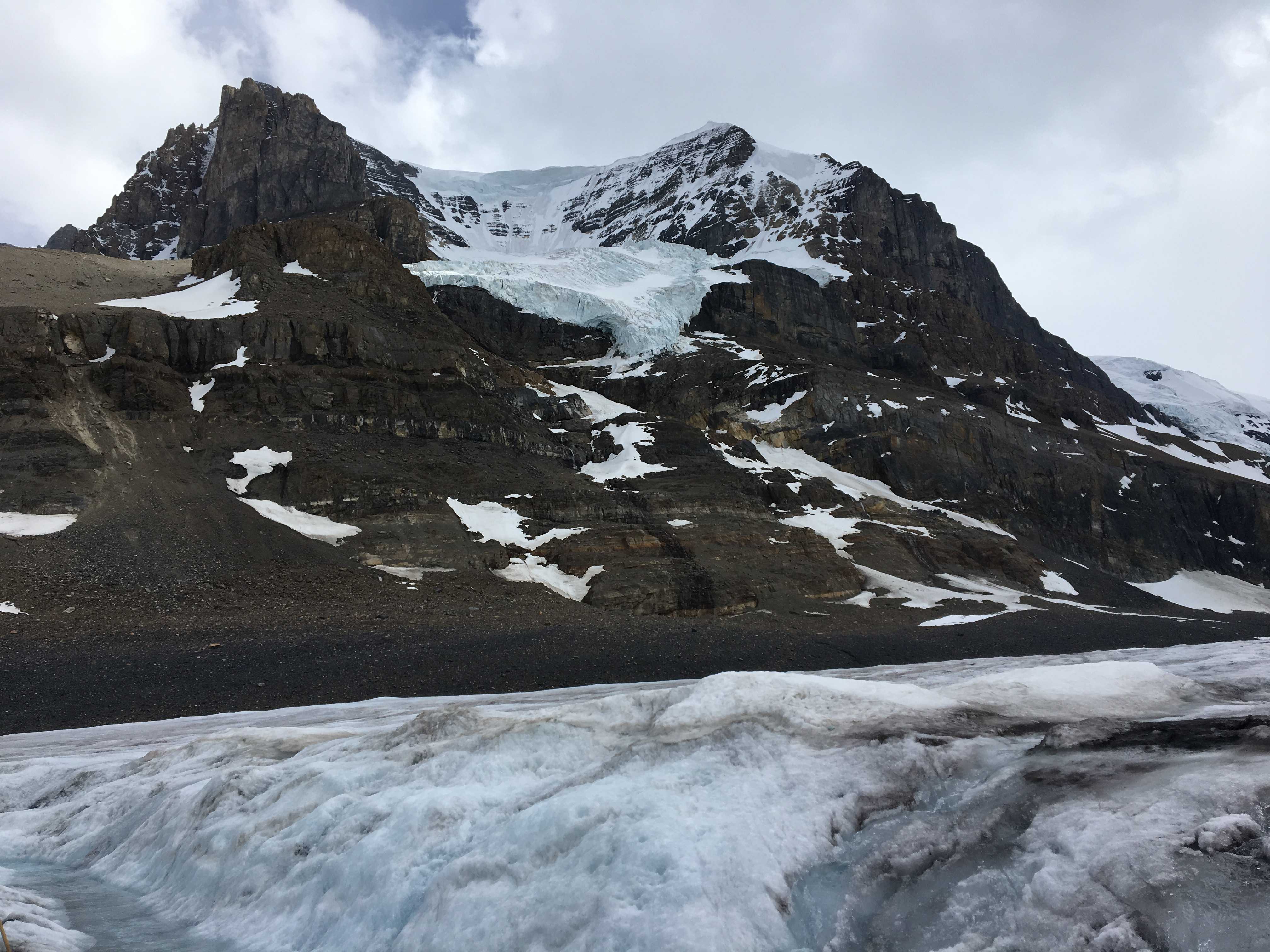
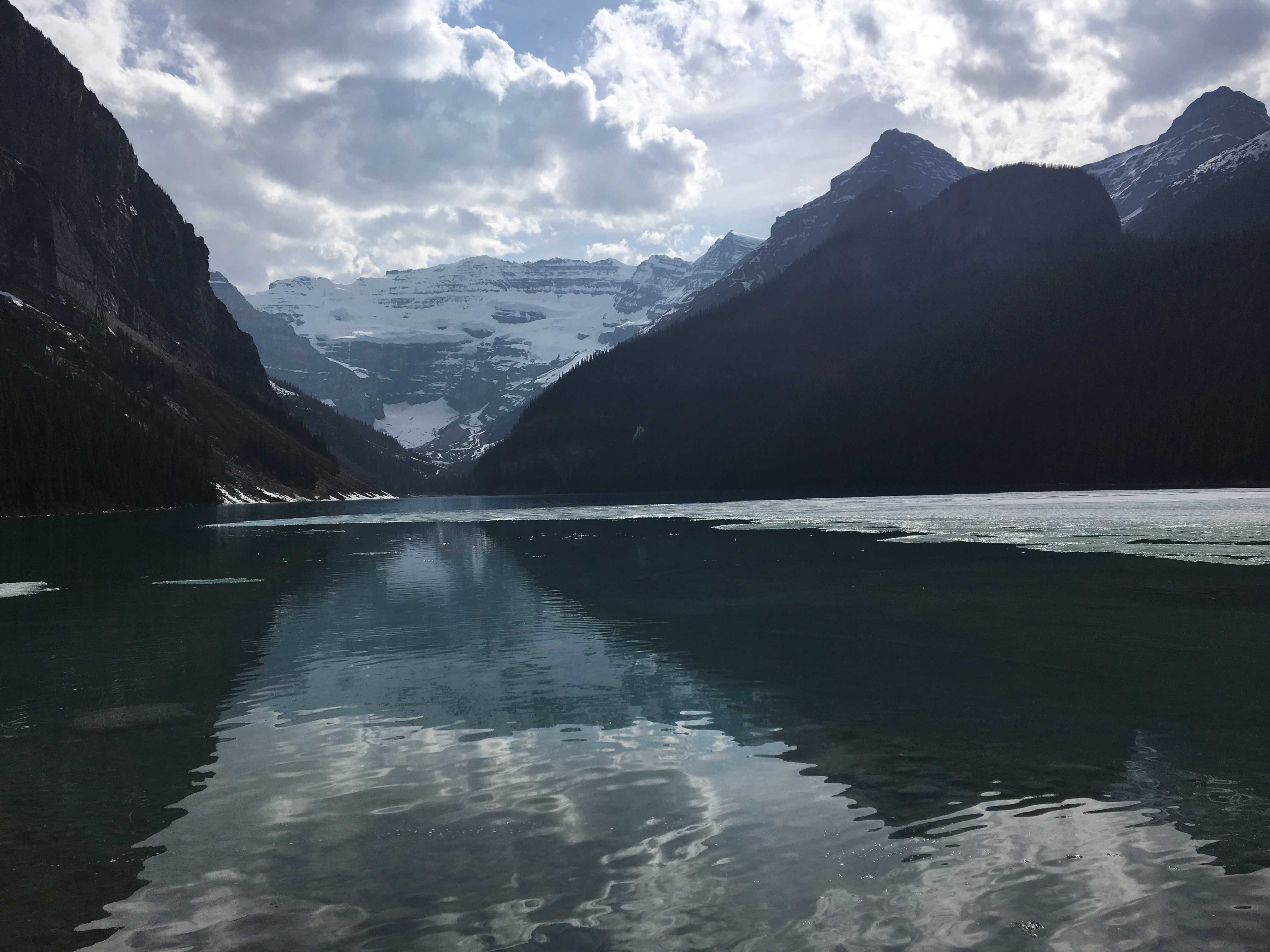
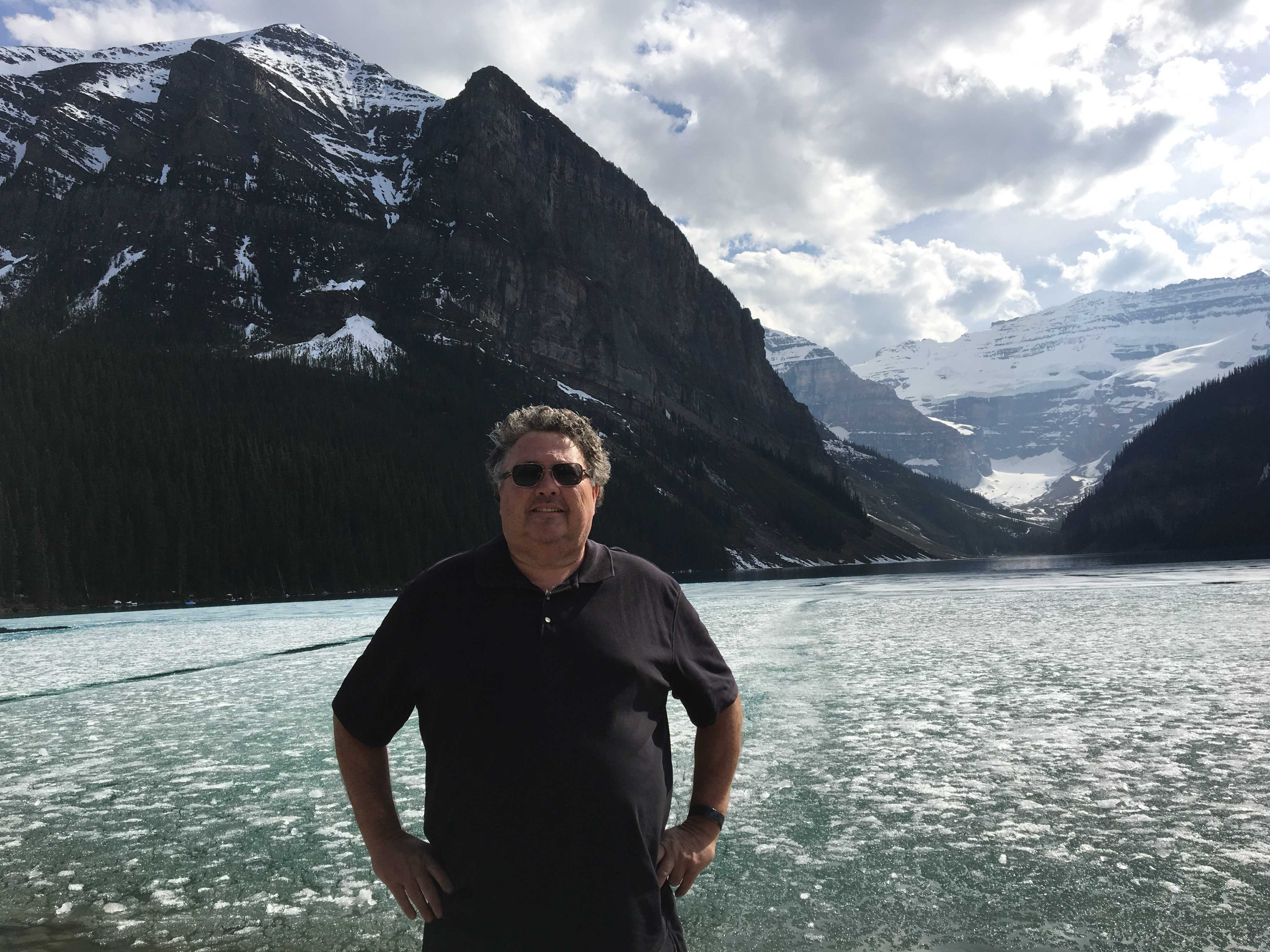
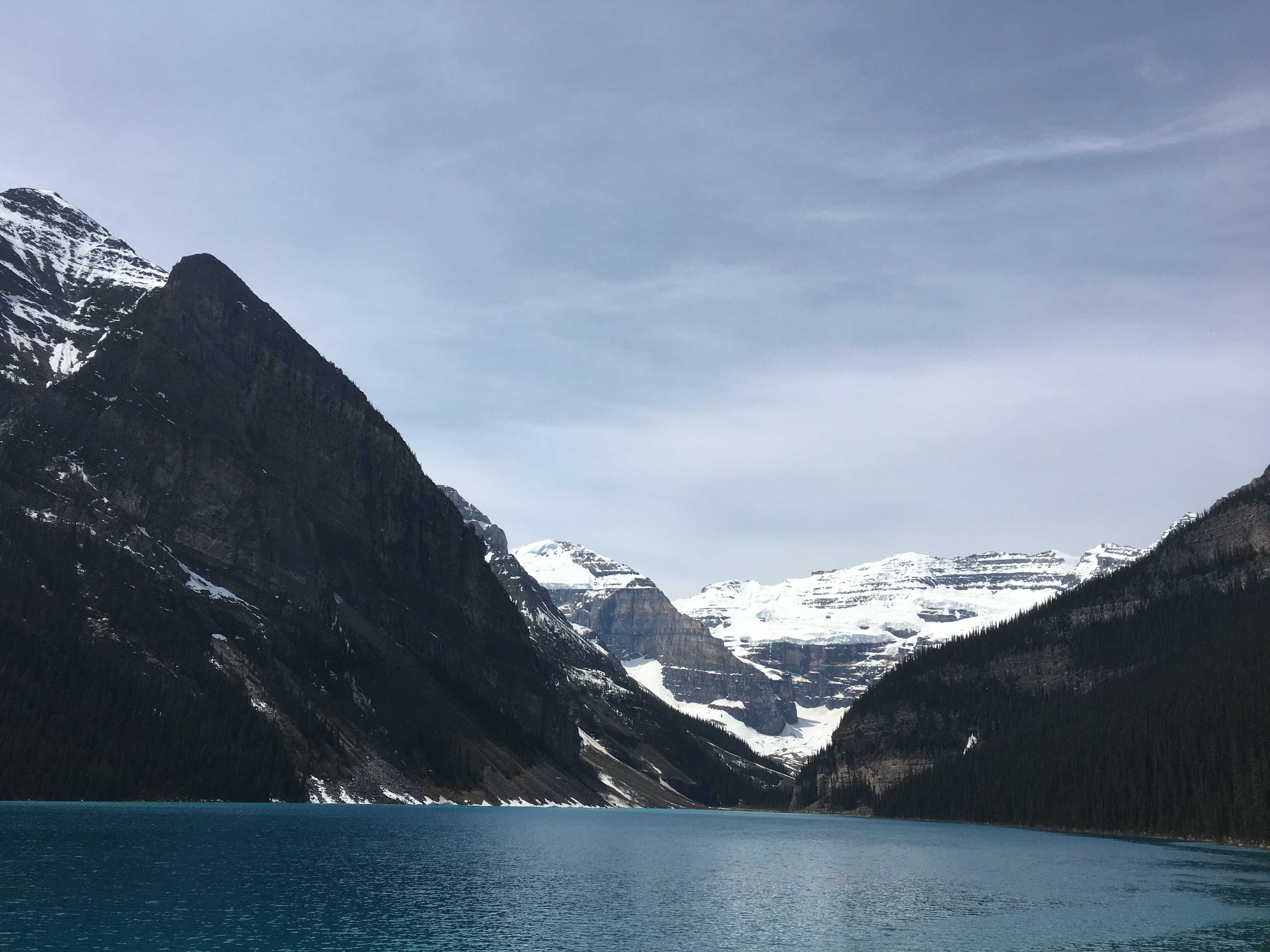
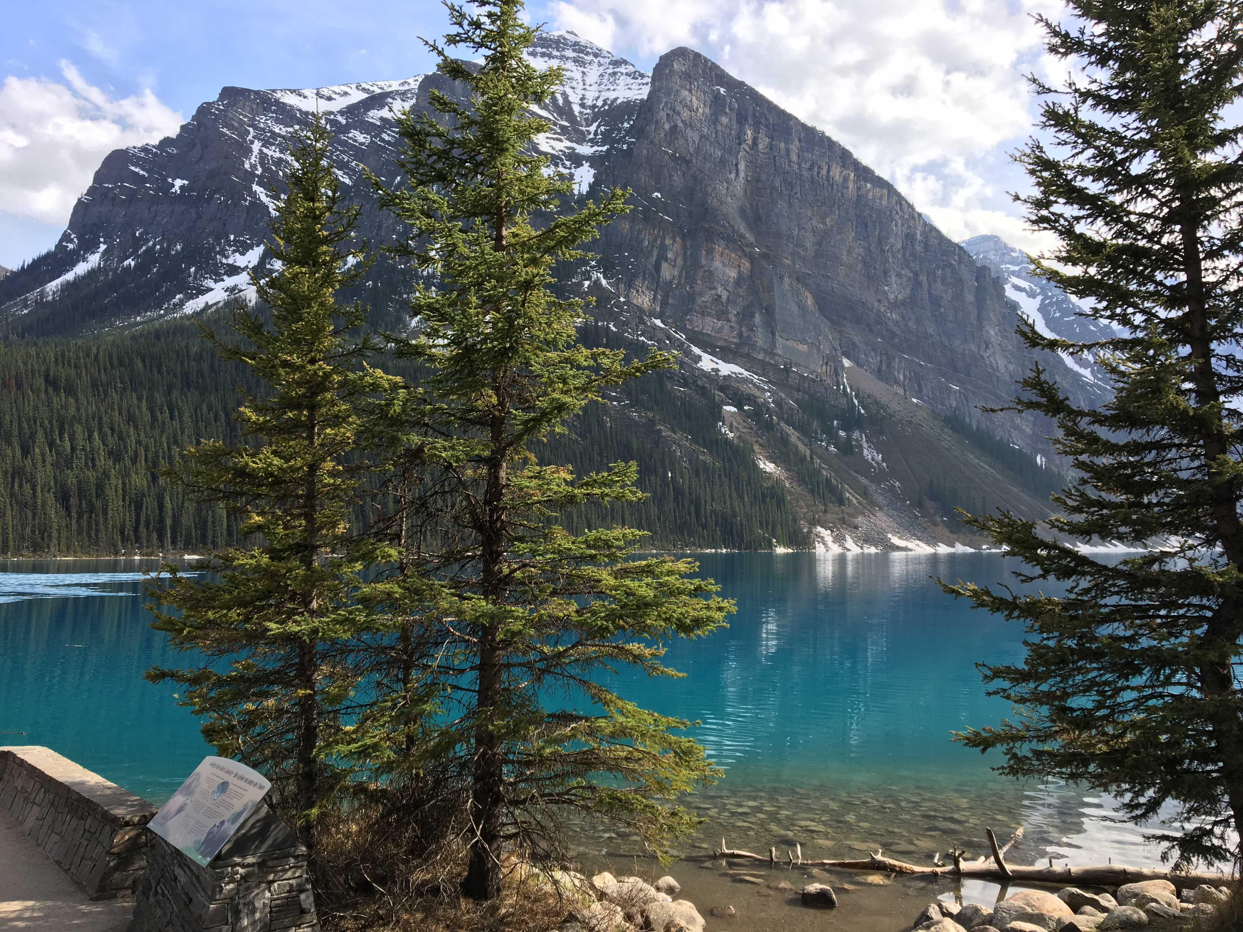
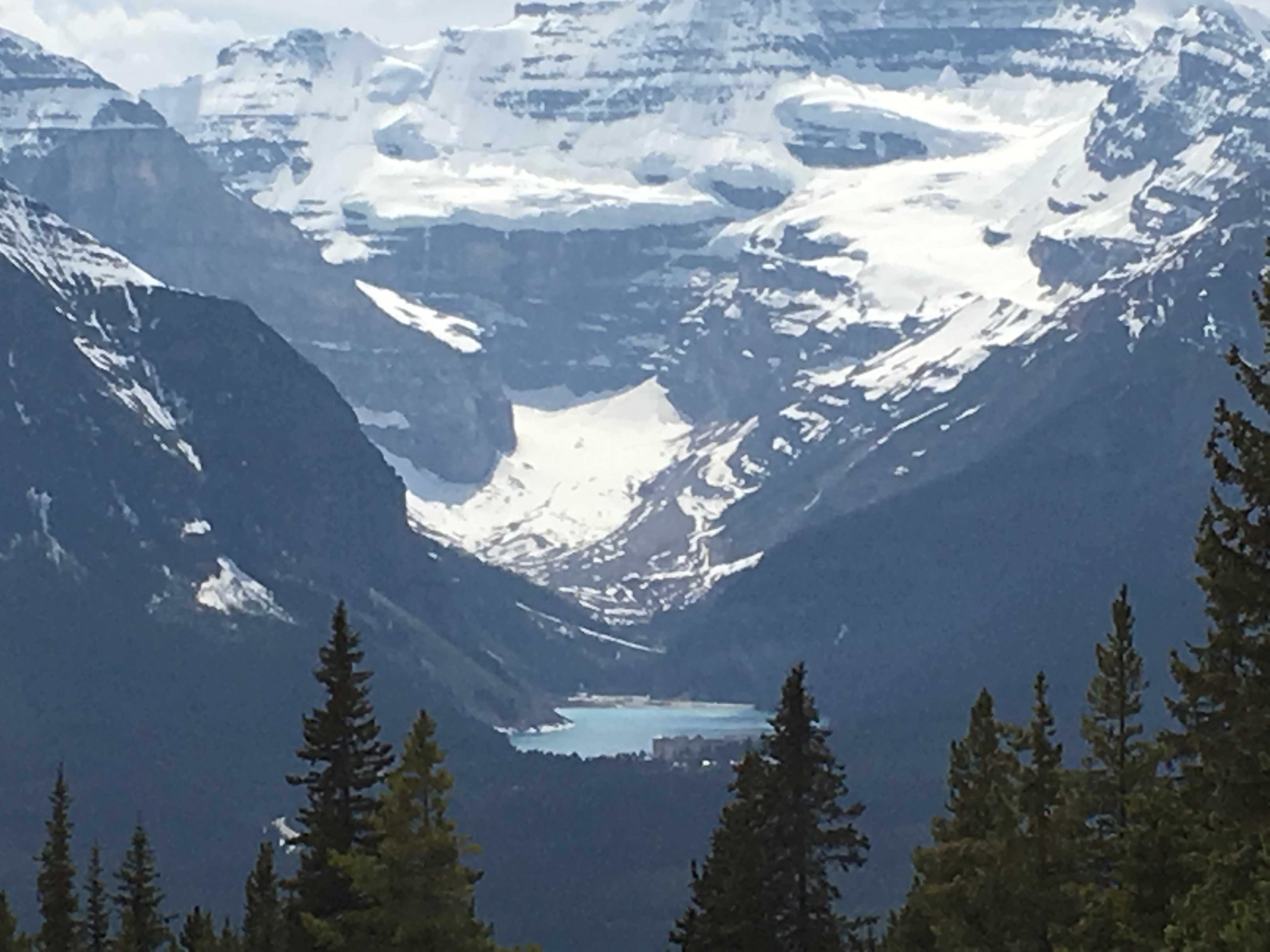
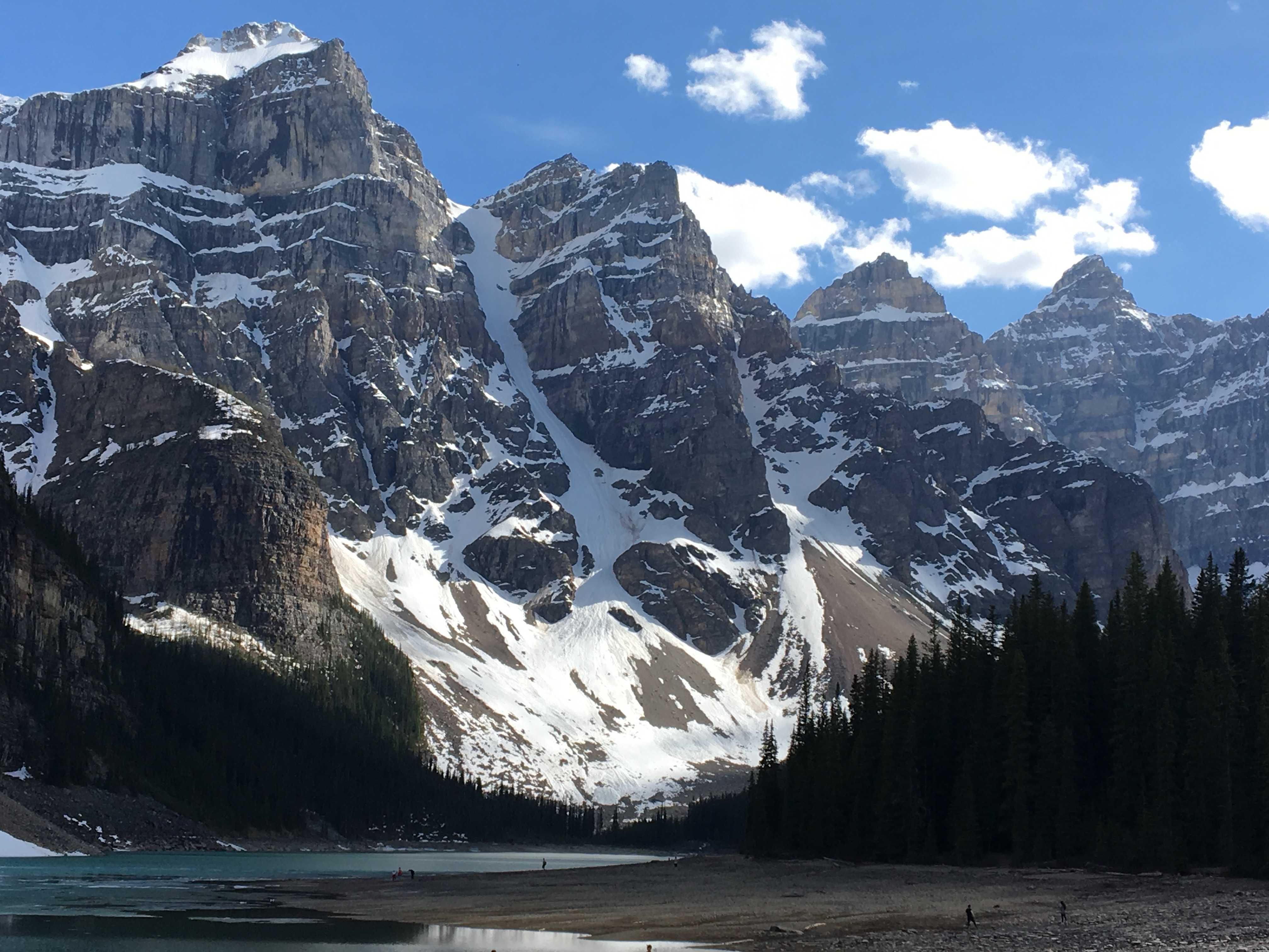
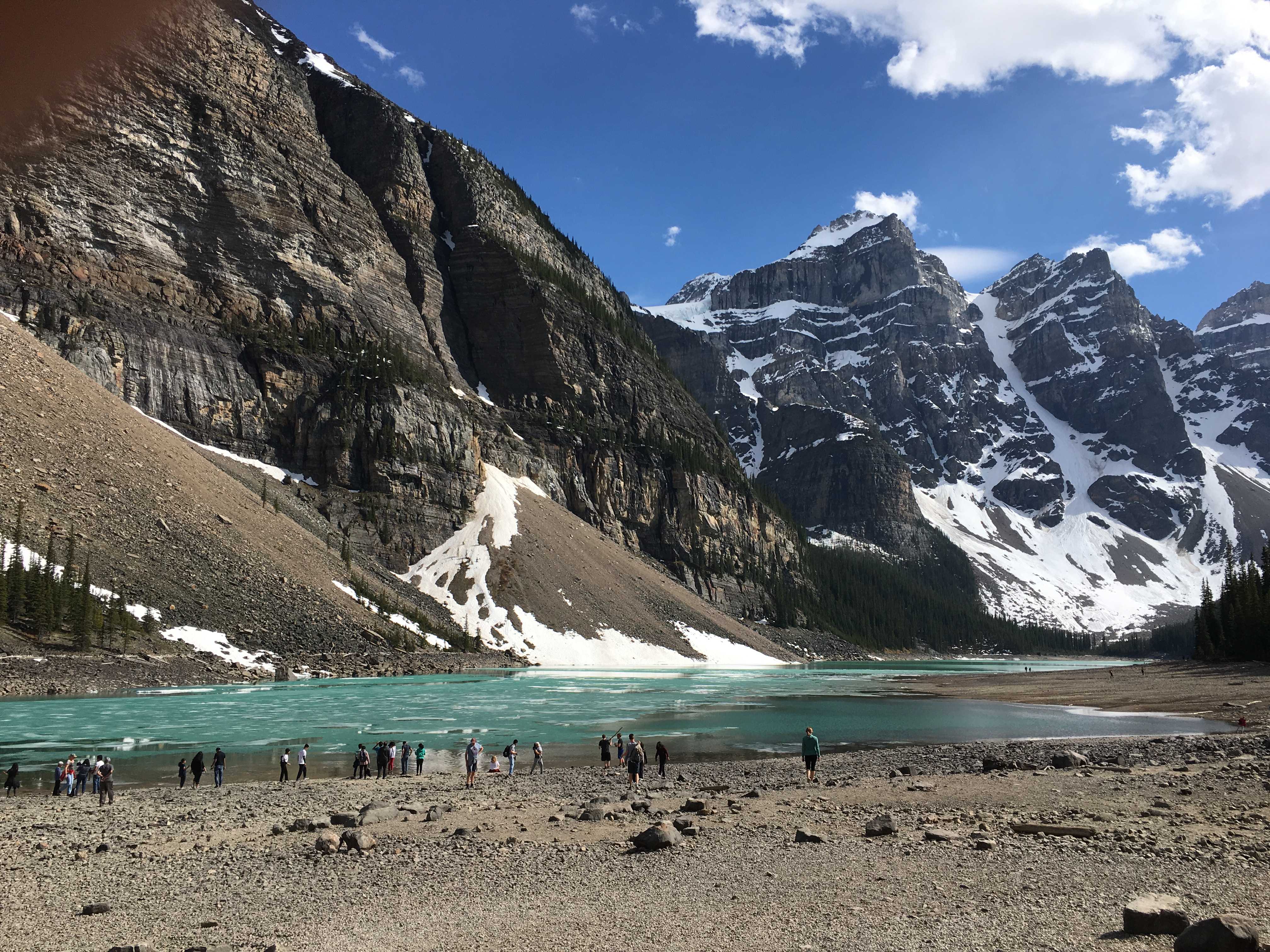
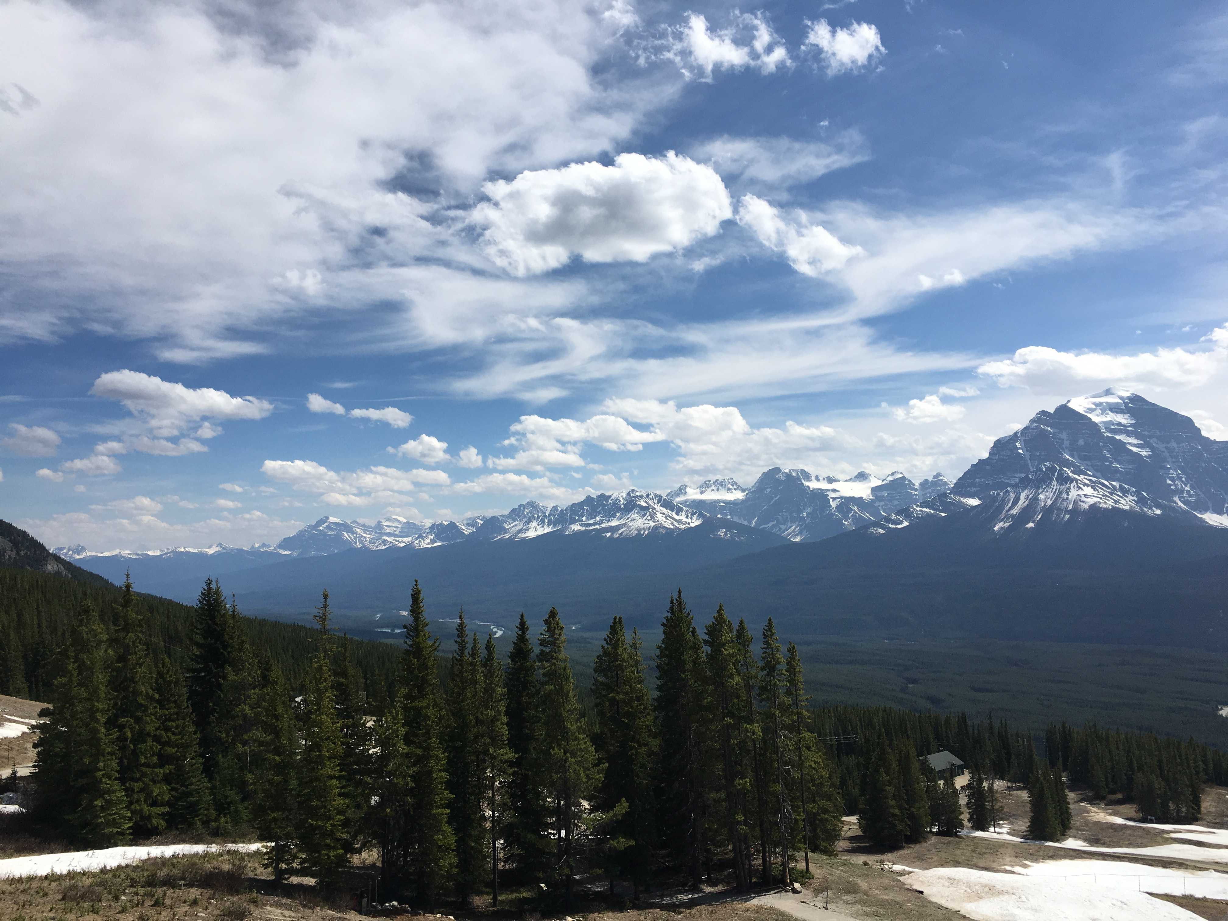
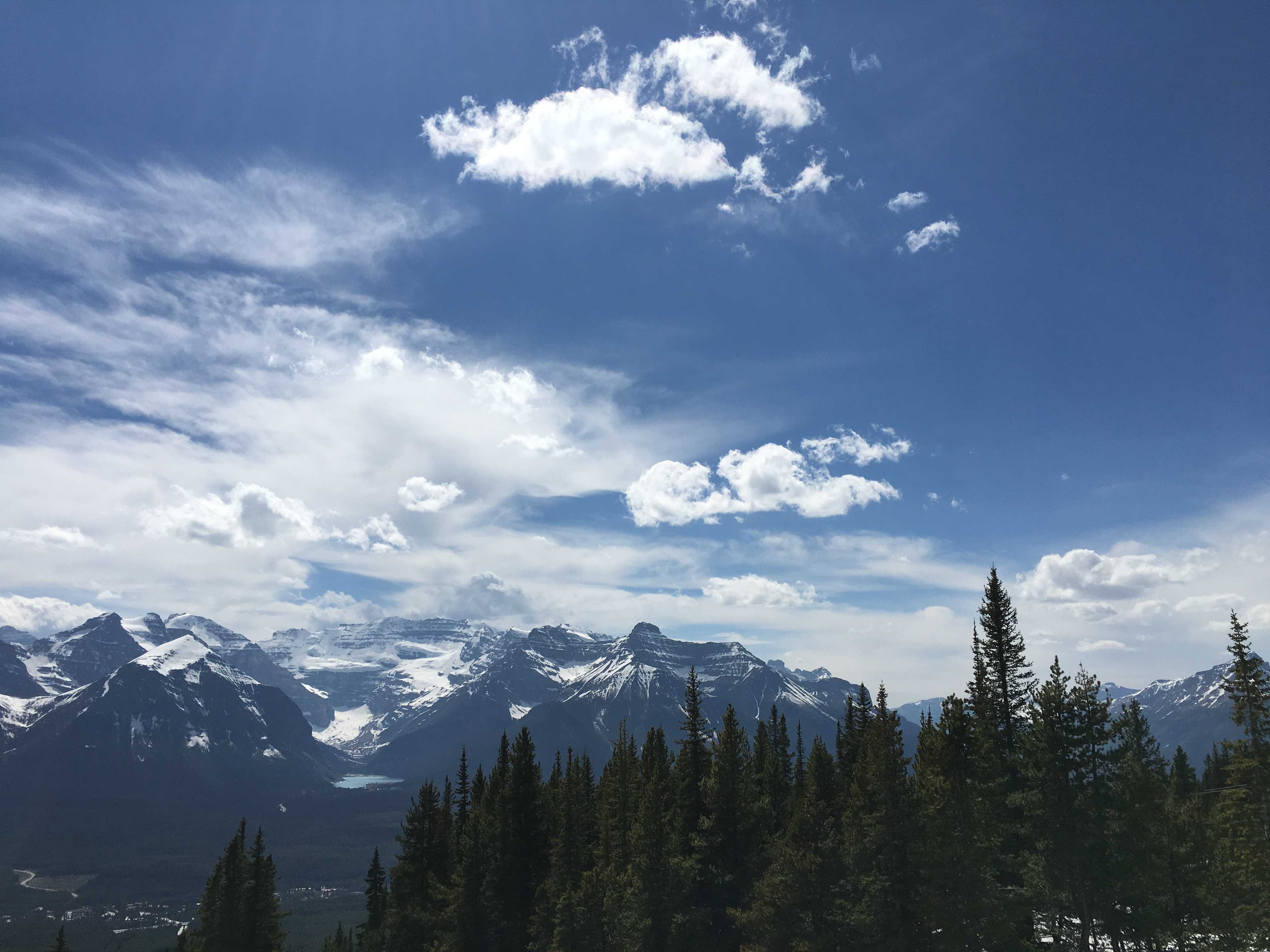
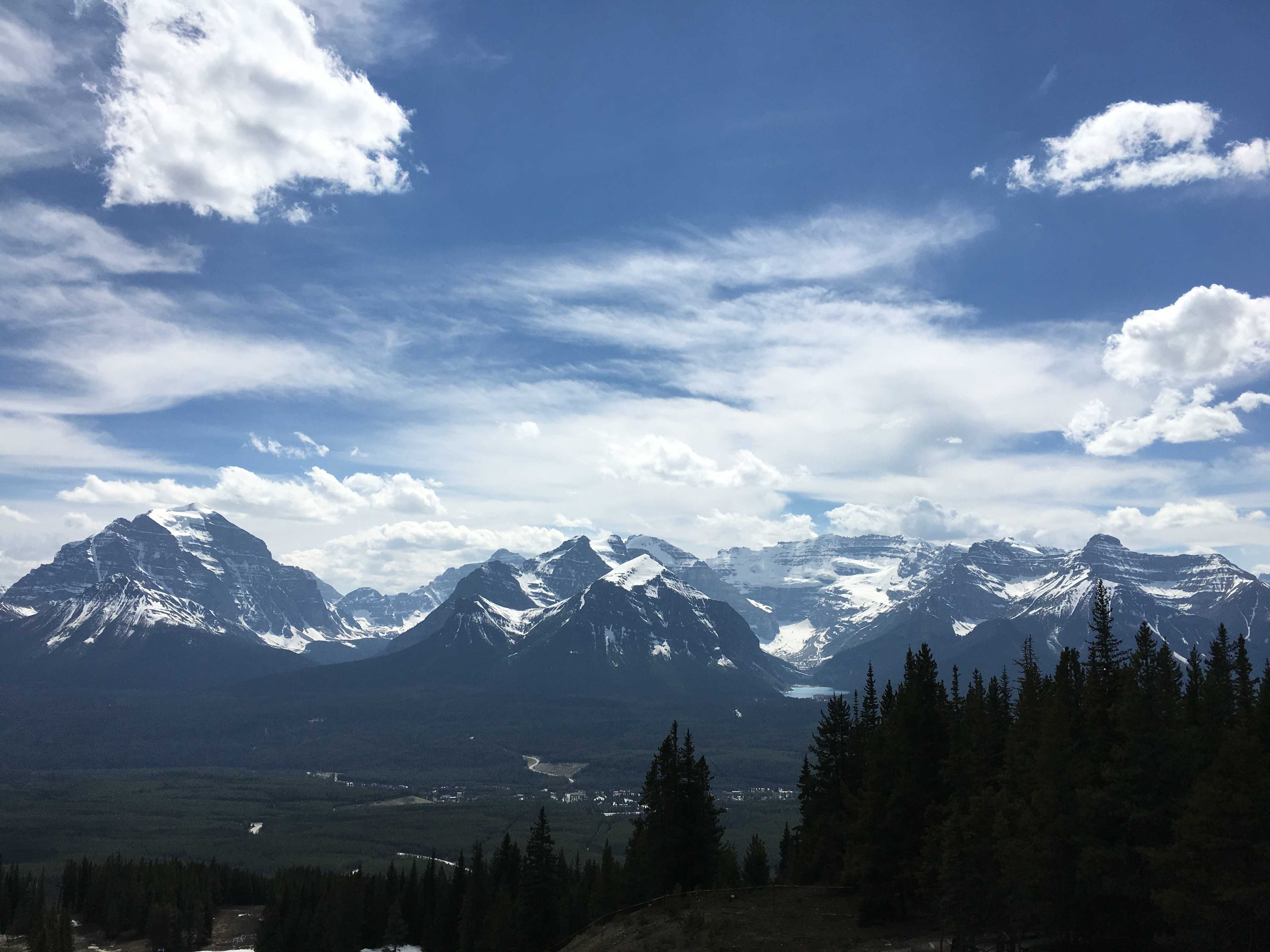
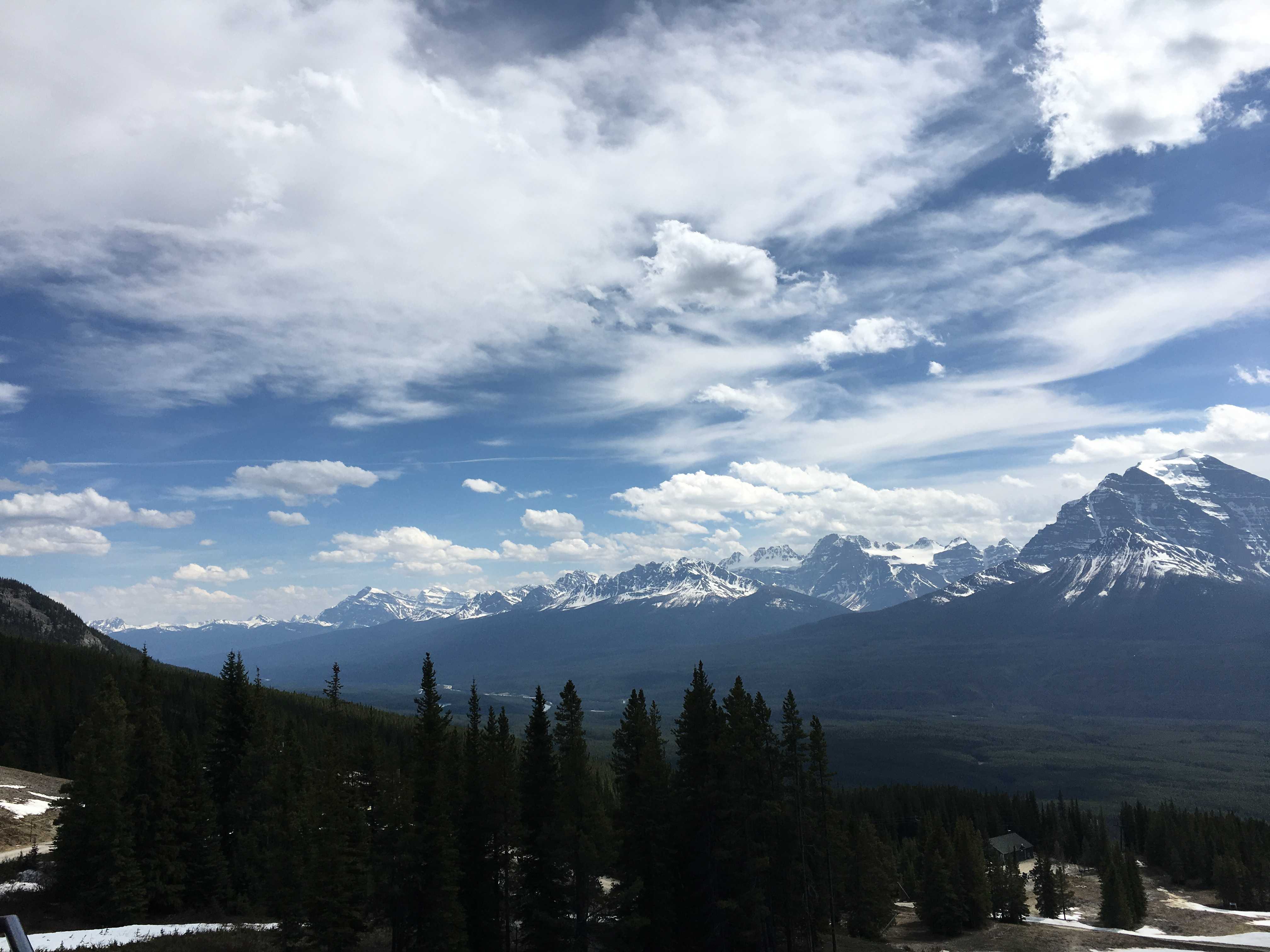
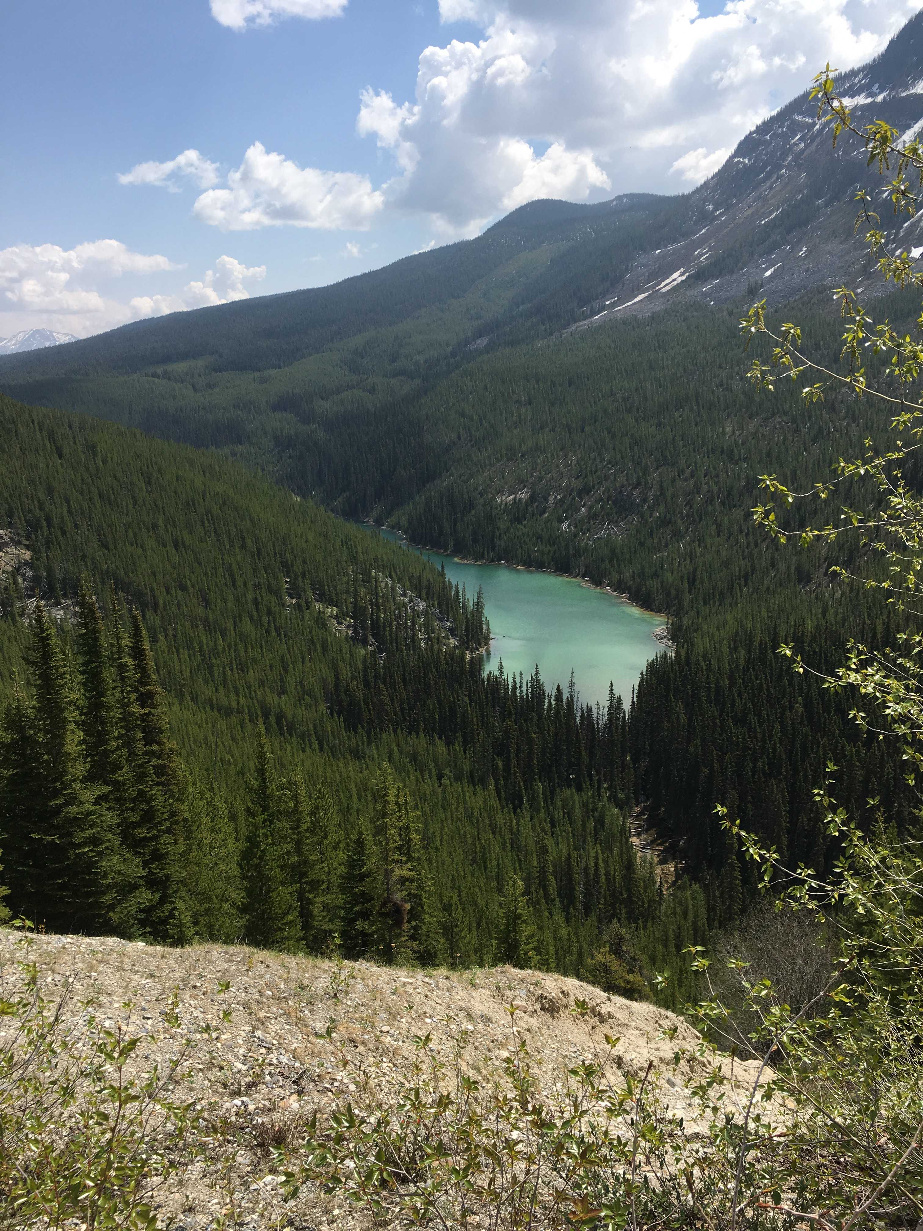
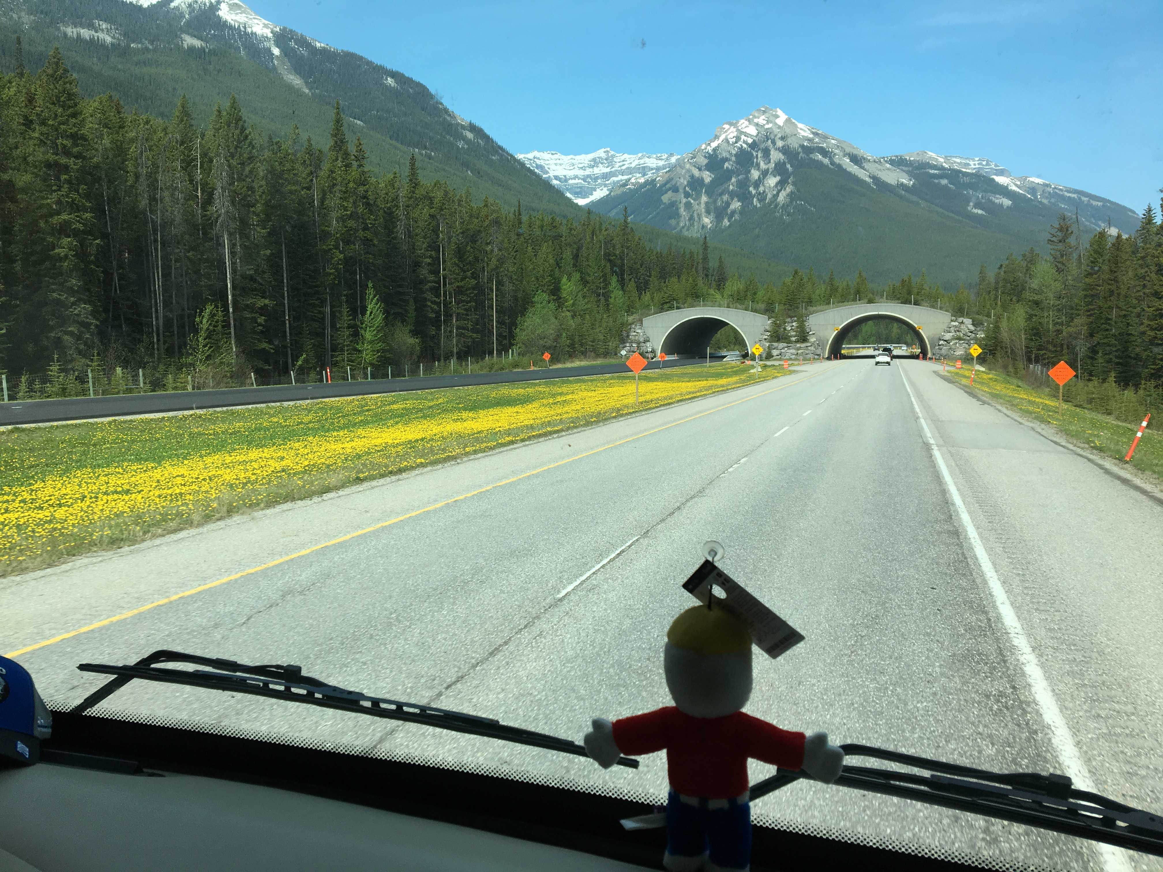
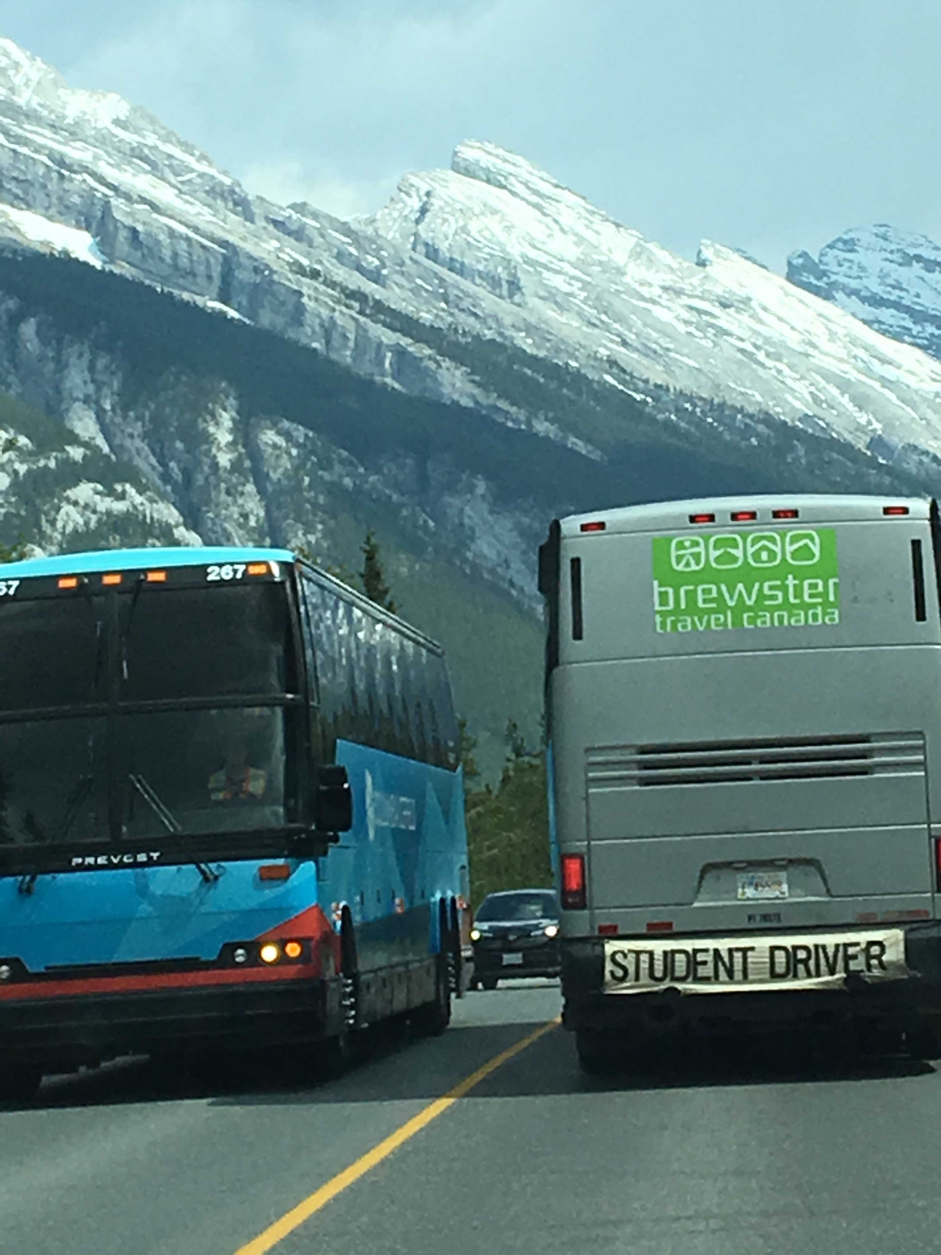
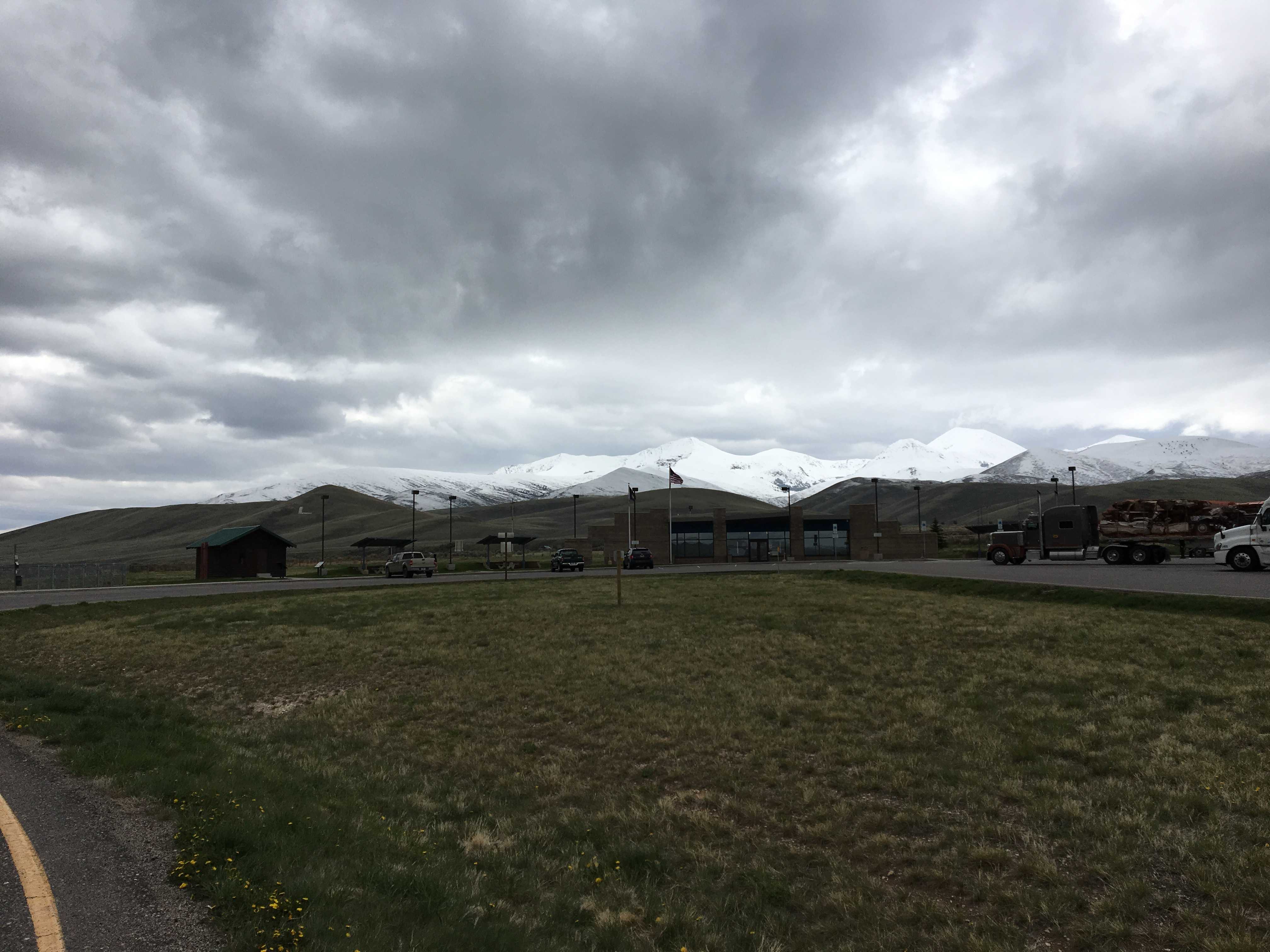
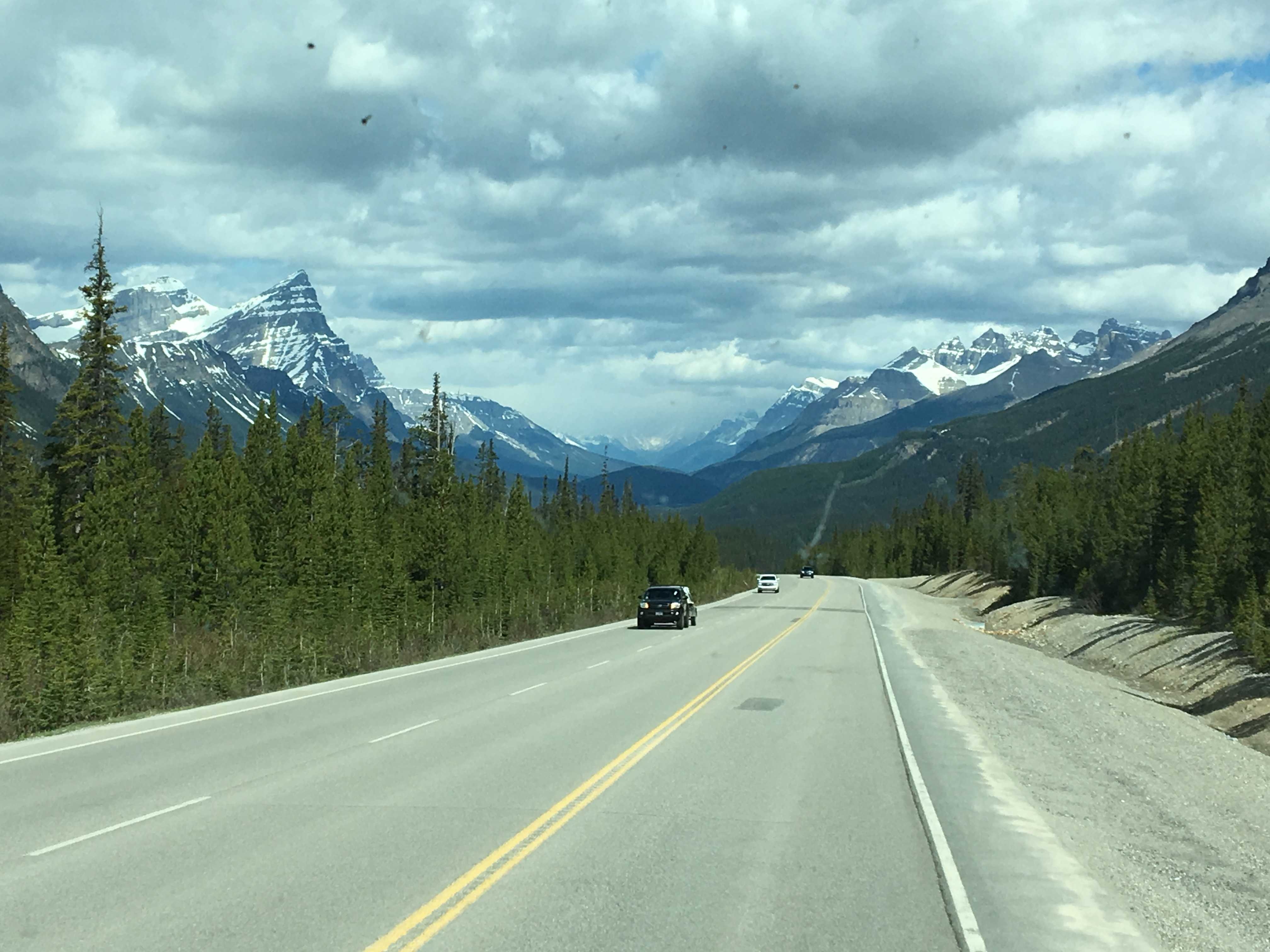
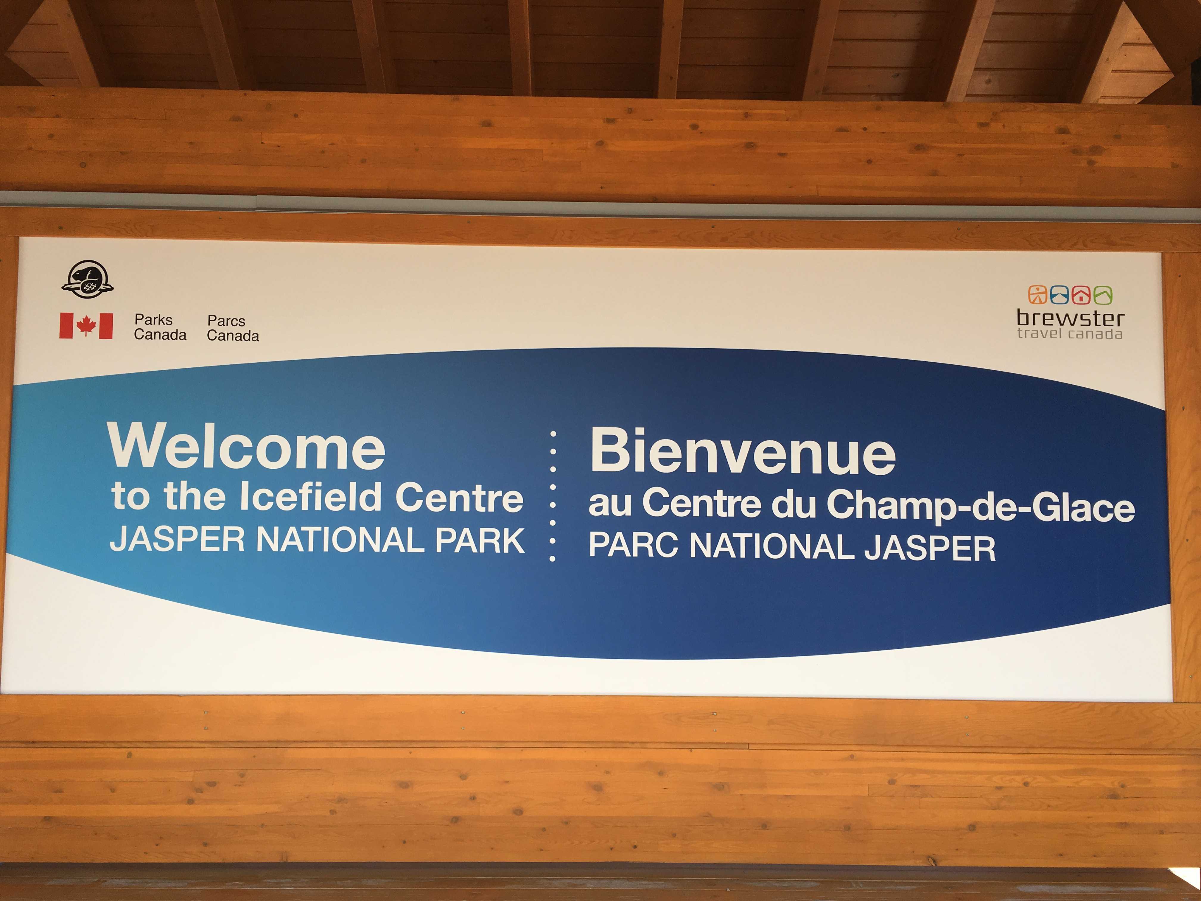
 Driving up the Ice Fields Parkway was another incredible scenic journey. The Canadian Rockies shouldn’t be missed. The parkway itself has been one of the smoothest roads I’ve ever been on. Smooth is nice when you are driving your house on it. There was only one large grade on it and it was maybe 20 km prior to our destination that day, the Discovery Center at the
 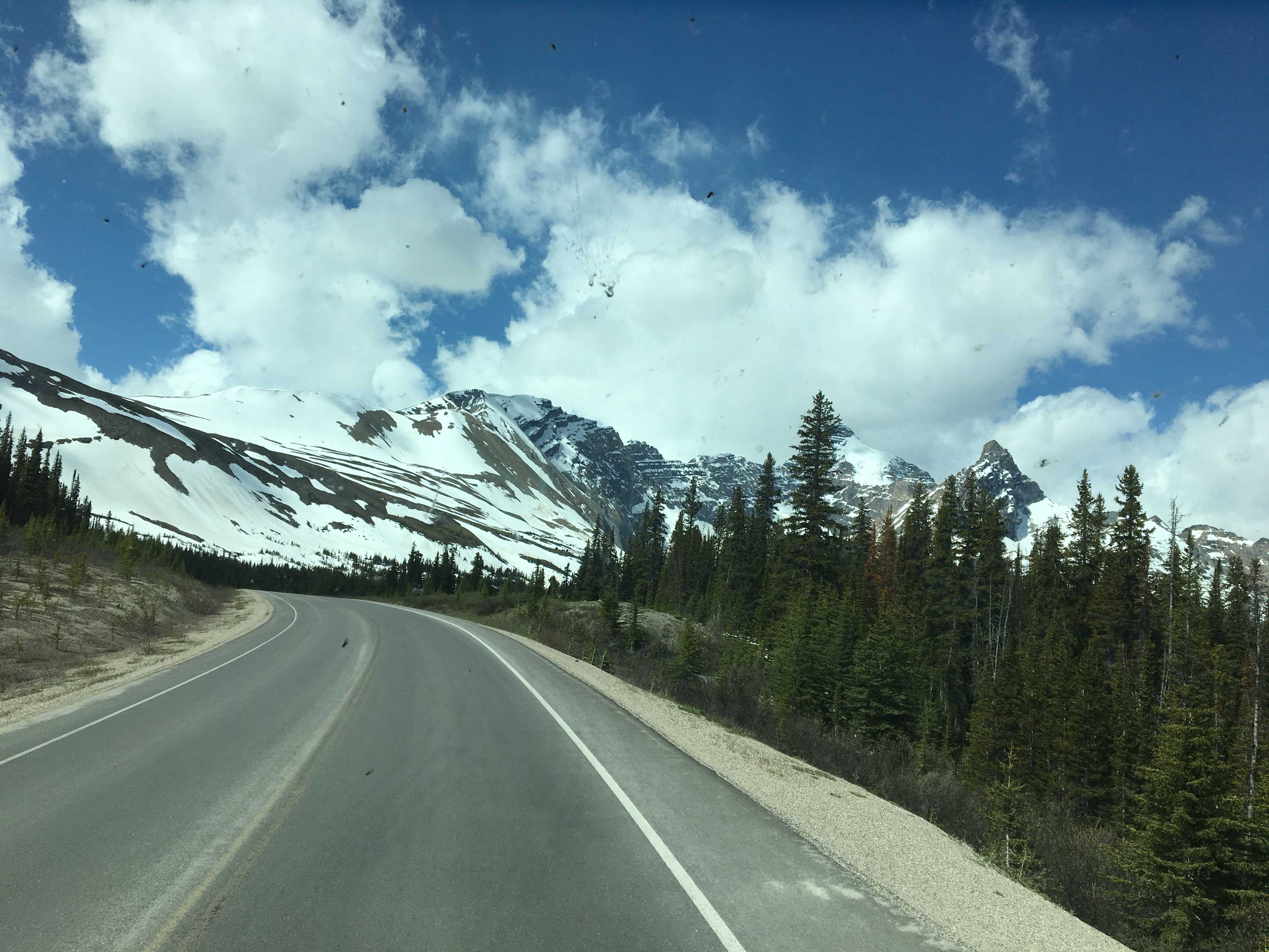 Columbia Ice Fields. We had no cell service the whole way up the road to the ice field and beyond. We got that back once we were about 5 miles from the town of Jasper at the other end of the parkway.
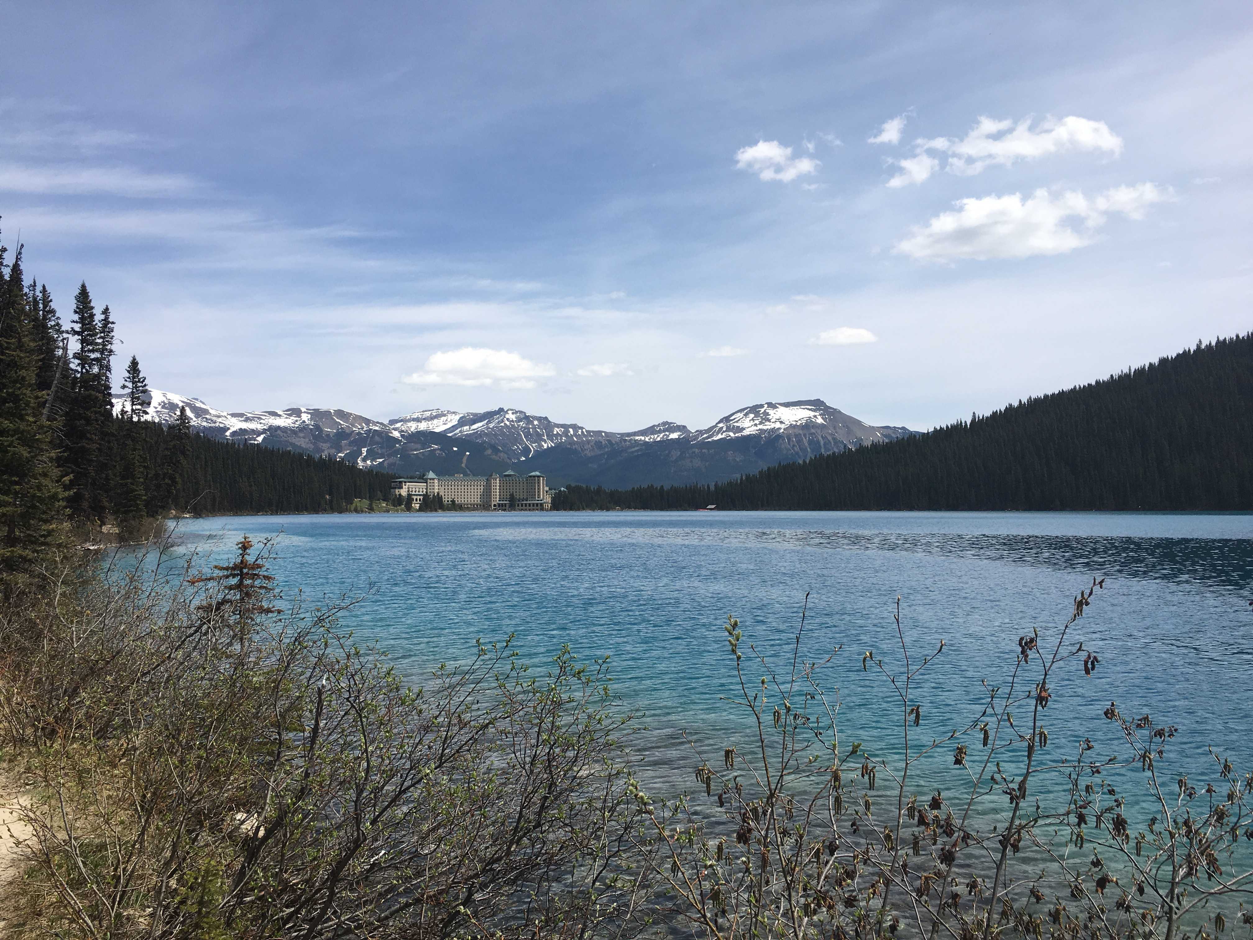
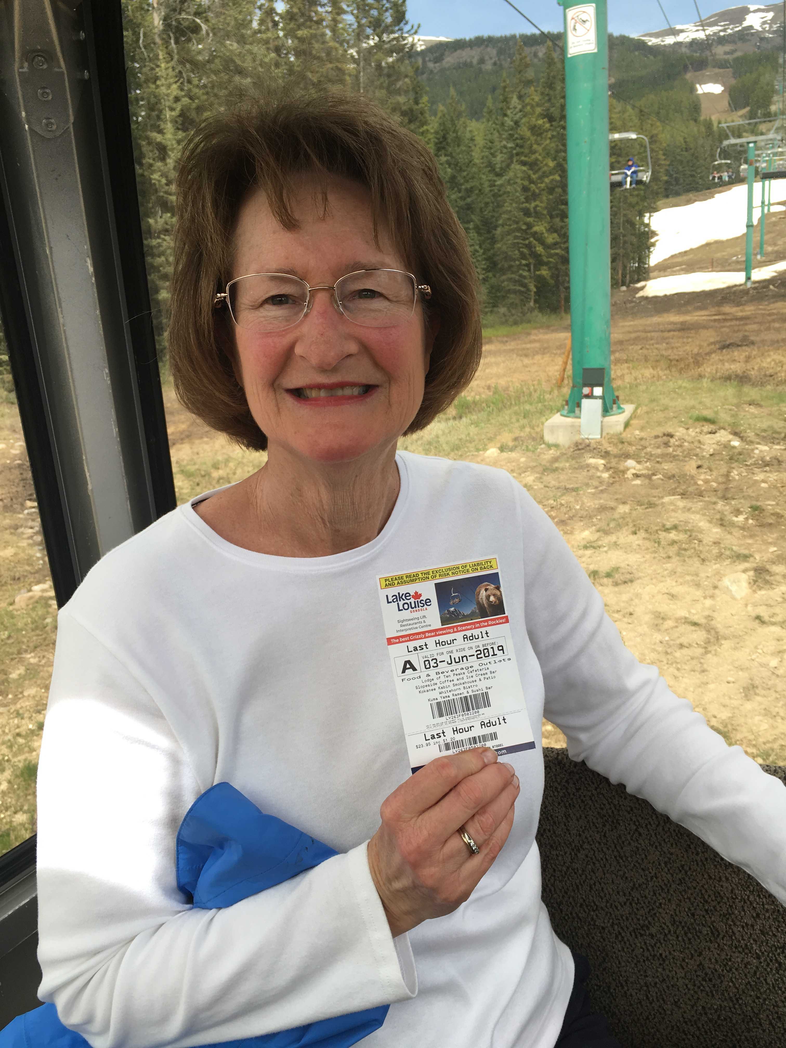
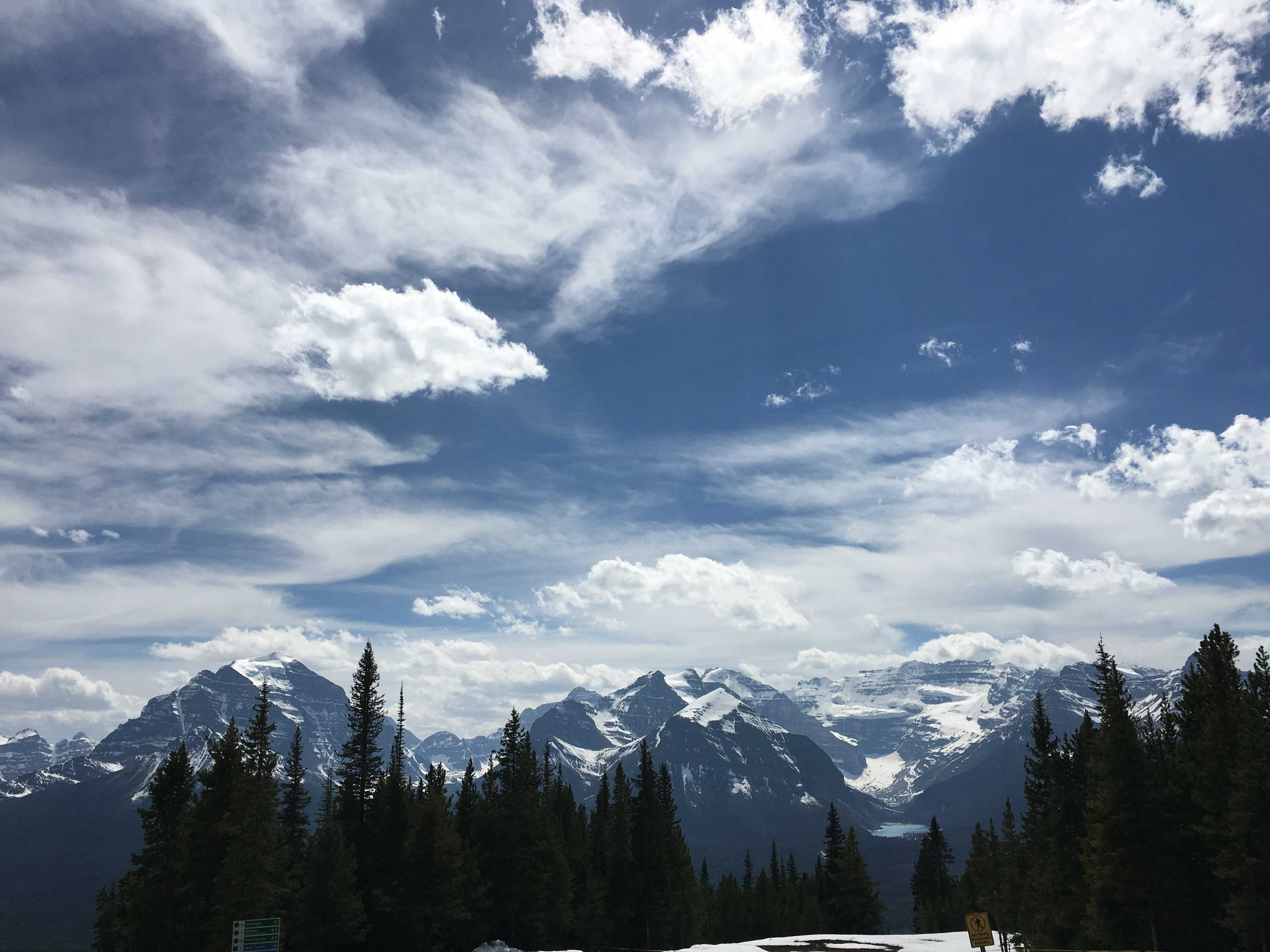
I wanted to take one of those monster trucks out onto the glacier. We got into the RV parking lot around 1 pm, and after a struggle to level the coach, I hiked in the freezing wind over to the center to purchase tickets for the excursion. They were booked up till 3:30, so I bought tickets for the 3:45 tour. $100 Canadian each. I went back to the coach for some lunch and a bit O blogging. (offline, no internet at all except in the building some 500 meters away, and I forgot to ask for the password)
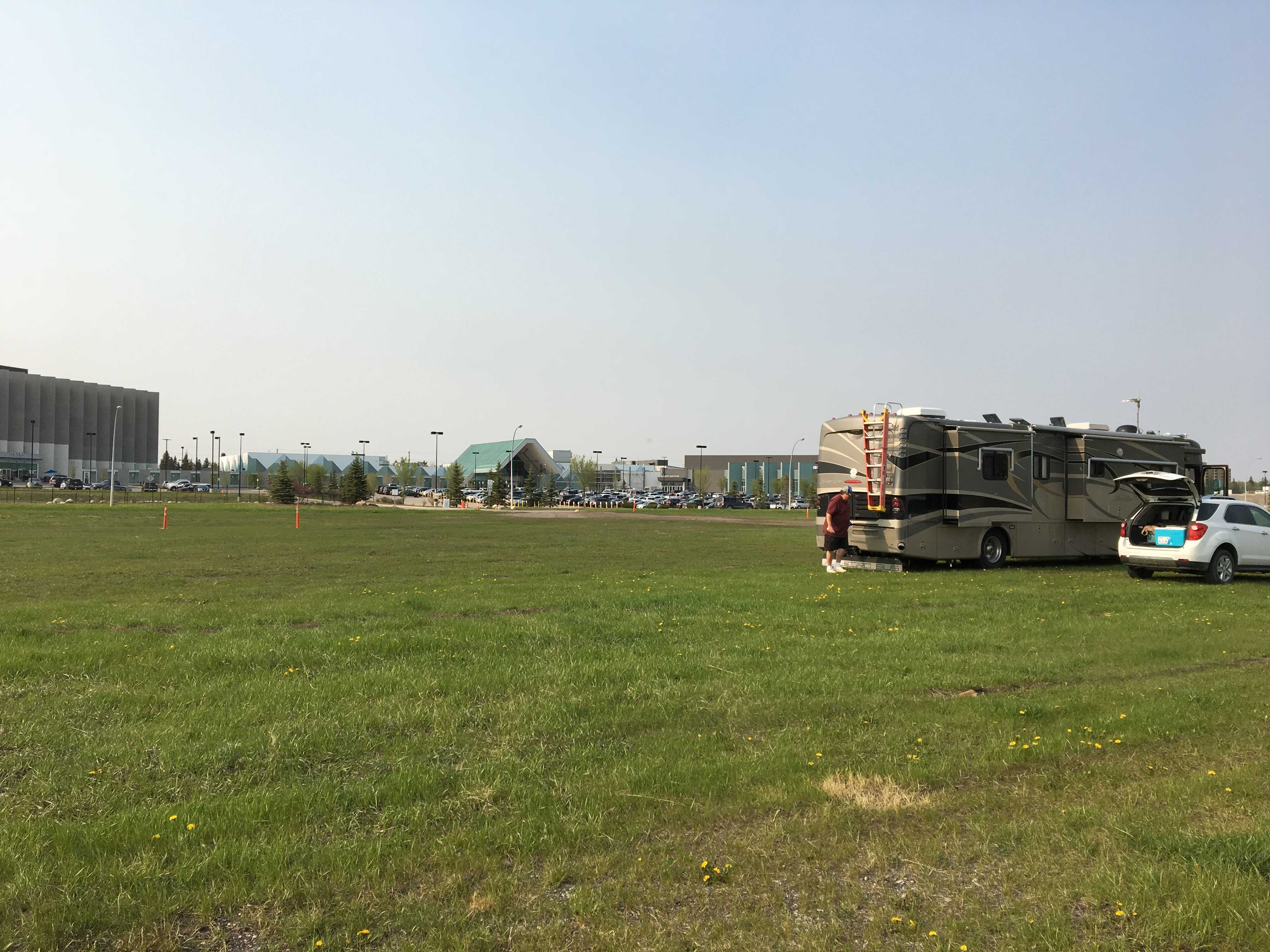
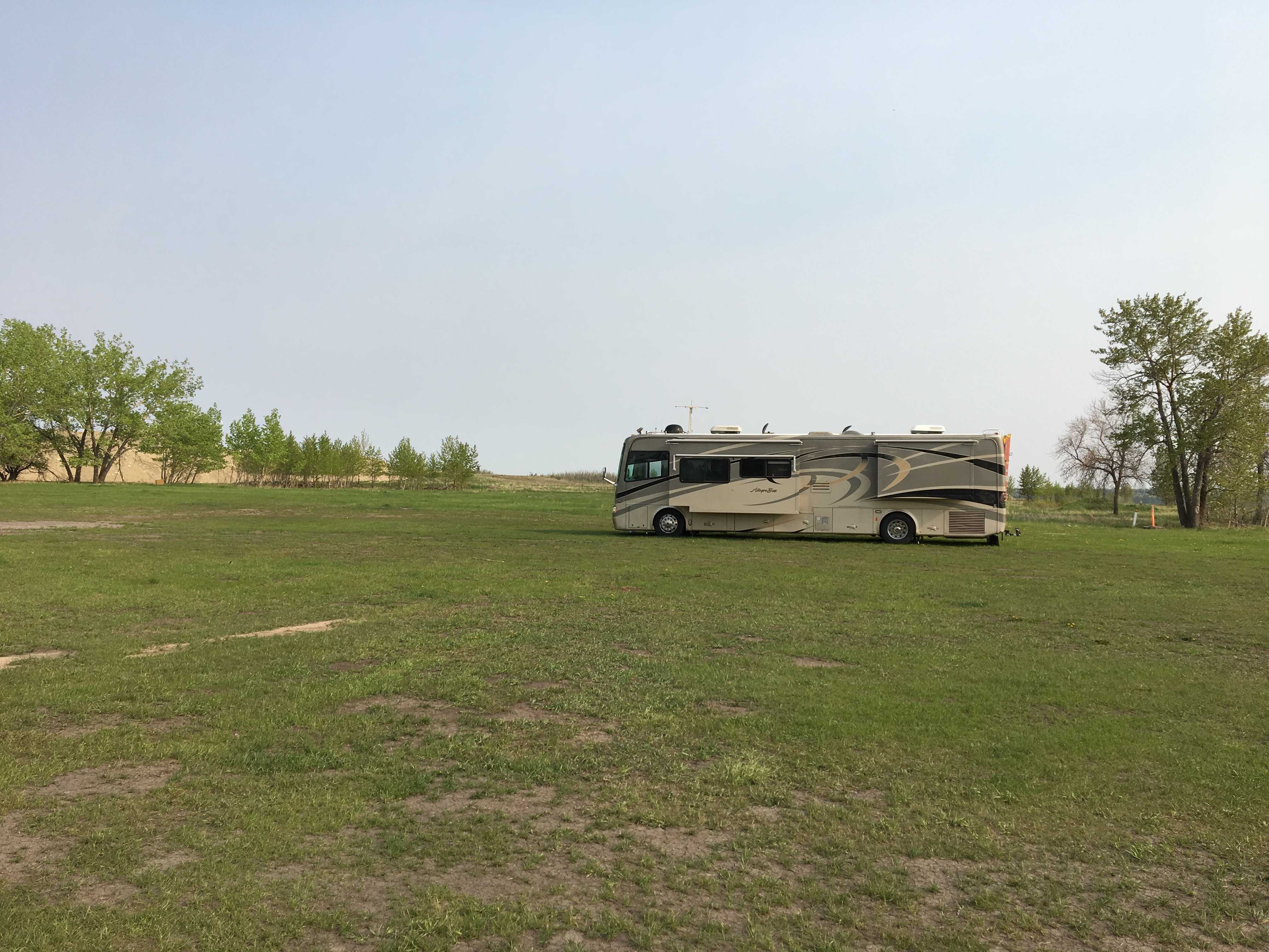
 The RV parking lot allows for overnight camping with a fee you put into a slot in a pole near the top of the lot. The parking is no where near level, so be prepared for major leveling process to get level as this is an “absorption fridge killer” slope. The wind on that lot was probably gusting at 40 mph. We had planned to camp overnight there, but between the precarious footings and the wind gusts, I was doubting I really
  wanted to stay the night there.
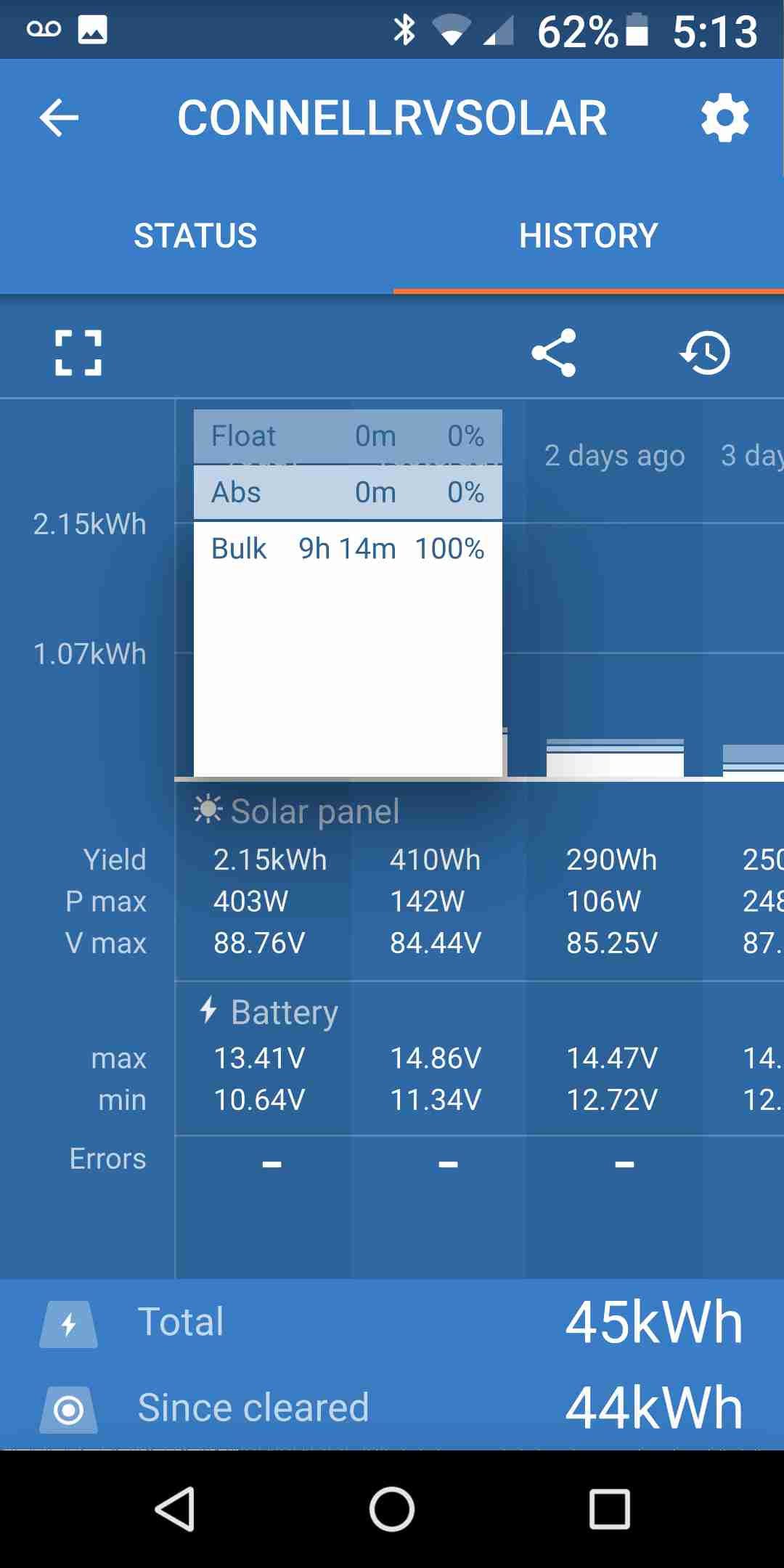
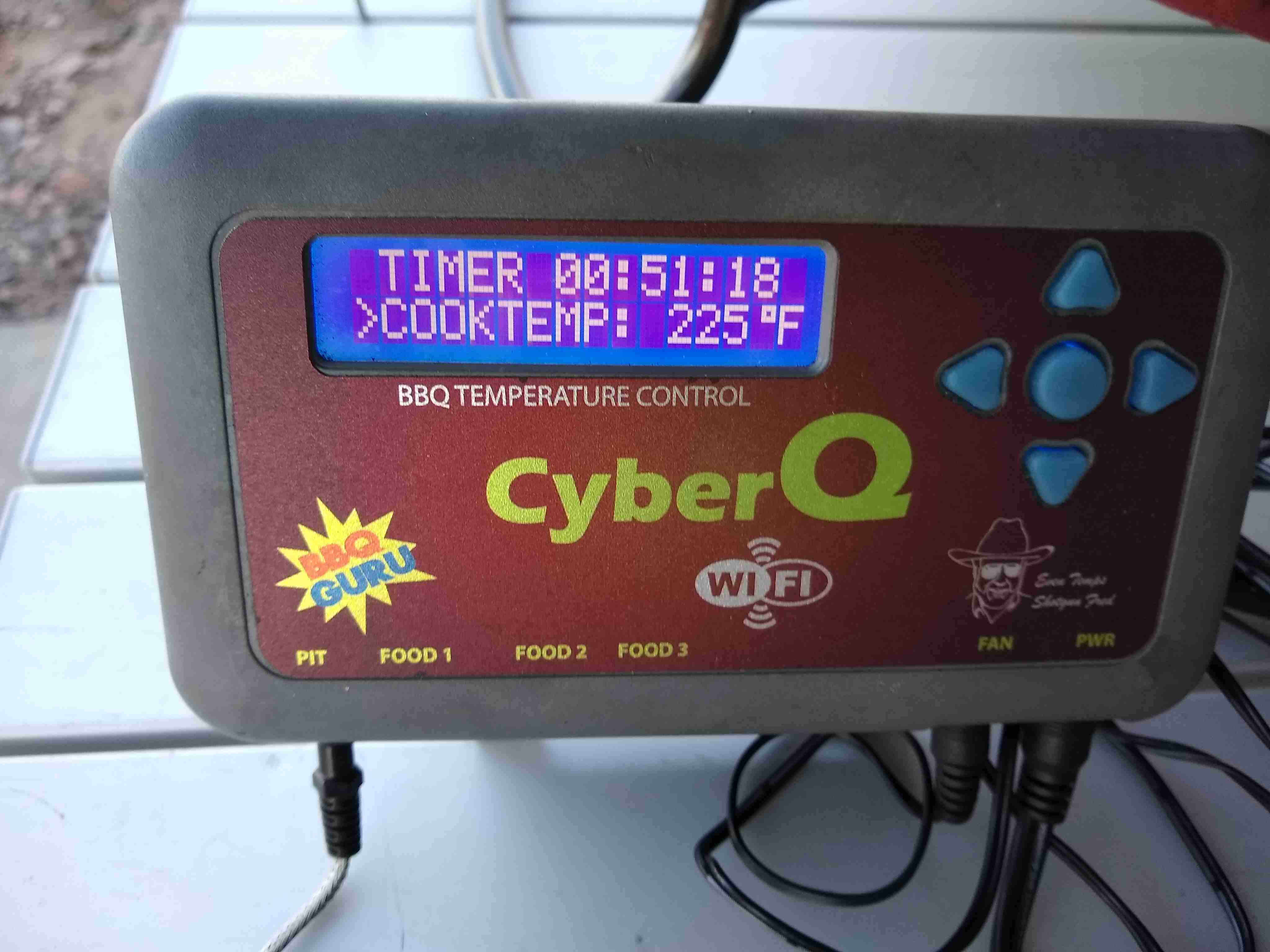
I was amazed at the output of my solar panel while parked there. I guess it was so cold and the lack of pollution in the air and possibly the altitude had me producing 575 watts from 640 watts of panels. I think I was pretty amazed at 525 watts last fall, but 50 more watts of power in the real world just amazes me.
We headed up the hill around 3 pm for our tour that started boarding at 3:30. We had plenty of time to get WiFi connected and sync up our email and texts during the wait. Kathy got to peruse the gift shop while I called around to find a campsite for the night. I found no sure things. More on that later.
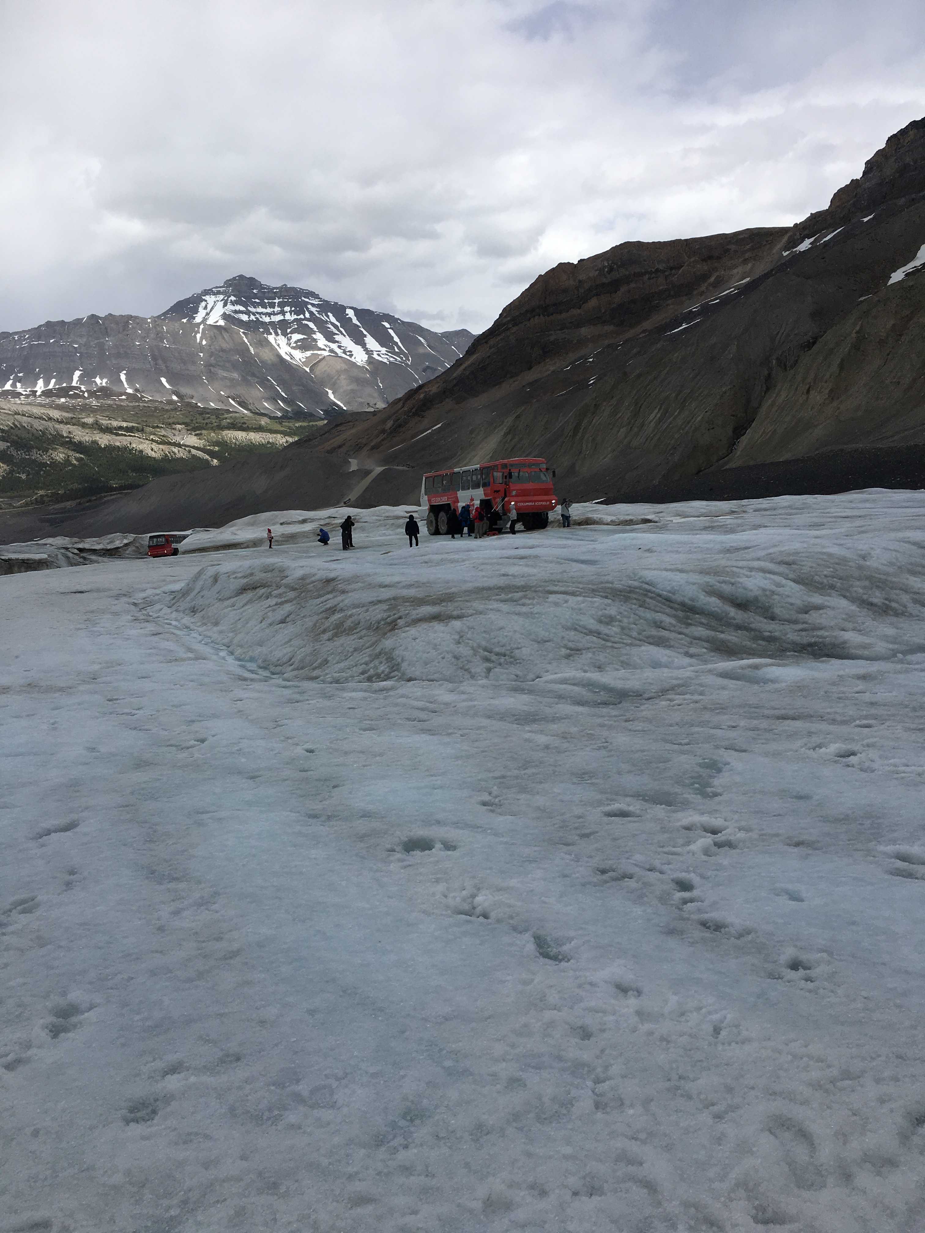
Our boarding time arrived and we got on a tour bus that drives you the kilometer or so over to the ice crawlers. It was a quick 4 minutes and the bus driver said it would be the best 4 minutes of our lives. It really didn’t live up to that, but the ice crawlers sure did!
We got dropped off in front of our crawler and Shane, our driver for the tour, introduced himself. He was a pretty funny guy, but I think a lot of the other tourists didn’t always get his jokes. He was from Nova Scotia, so his humor needed a few seconds to sink in.
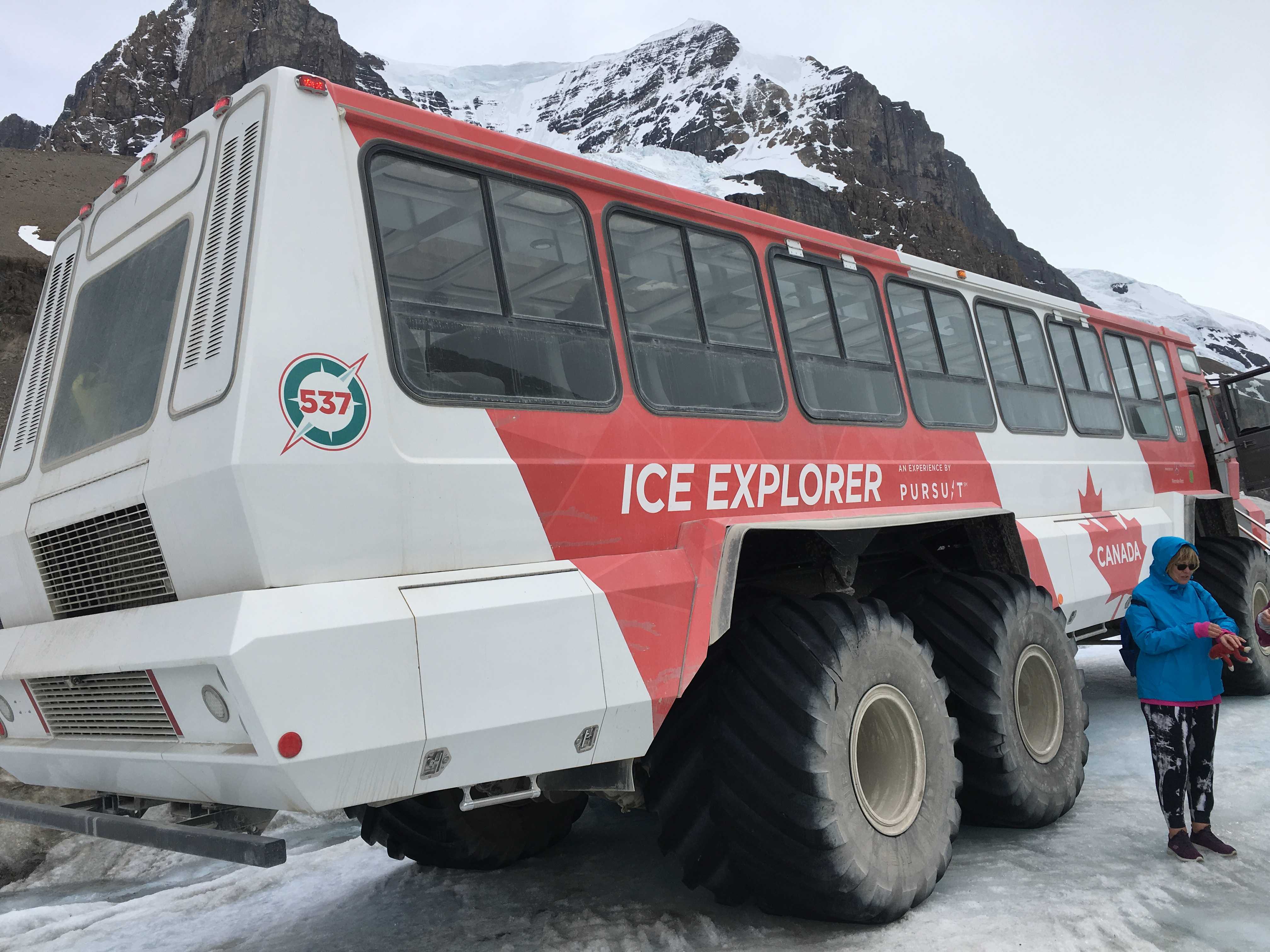 The crawler is a 30-ton beast with 6-wheel drive and large tractor looking tires. It is truly a crawler, as I think he said the top speed was 10 mph. We started climbing right out of the lot, and then we stopped at the top of a really steep hill. From our vantage point, it looked like a cliff. There was a tension in the air as he stopped to engage the 6-wheel drive. Then we started down the 32-degree grade. I’ve been on steep grades back in my dirt bike days, but this was over the top when inside what is really a large 56-seat bus!
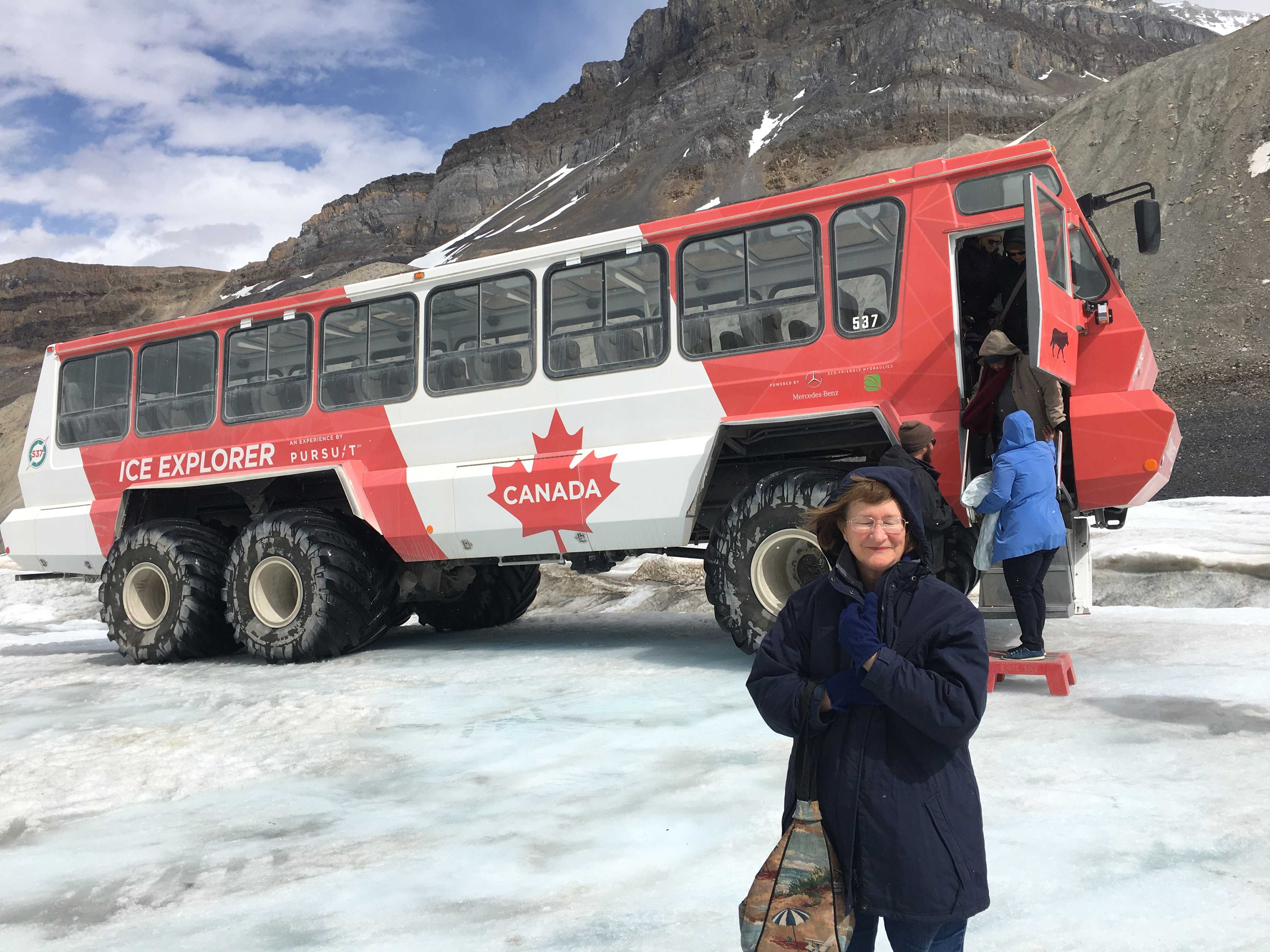 After getting to the bottom (probably took 2 minutes to get to the bottom) we drove thru a large tire-washing puddle. They don’t want to bring muddy tires onto the glacier, so they divert some of the glacier melt onto the
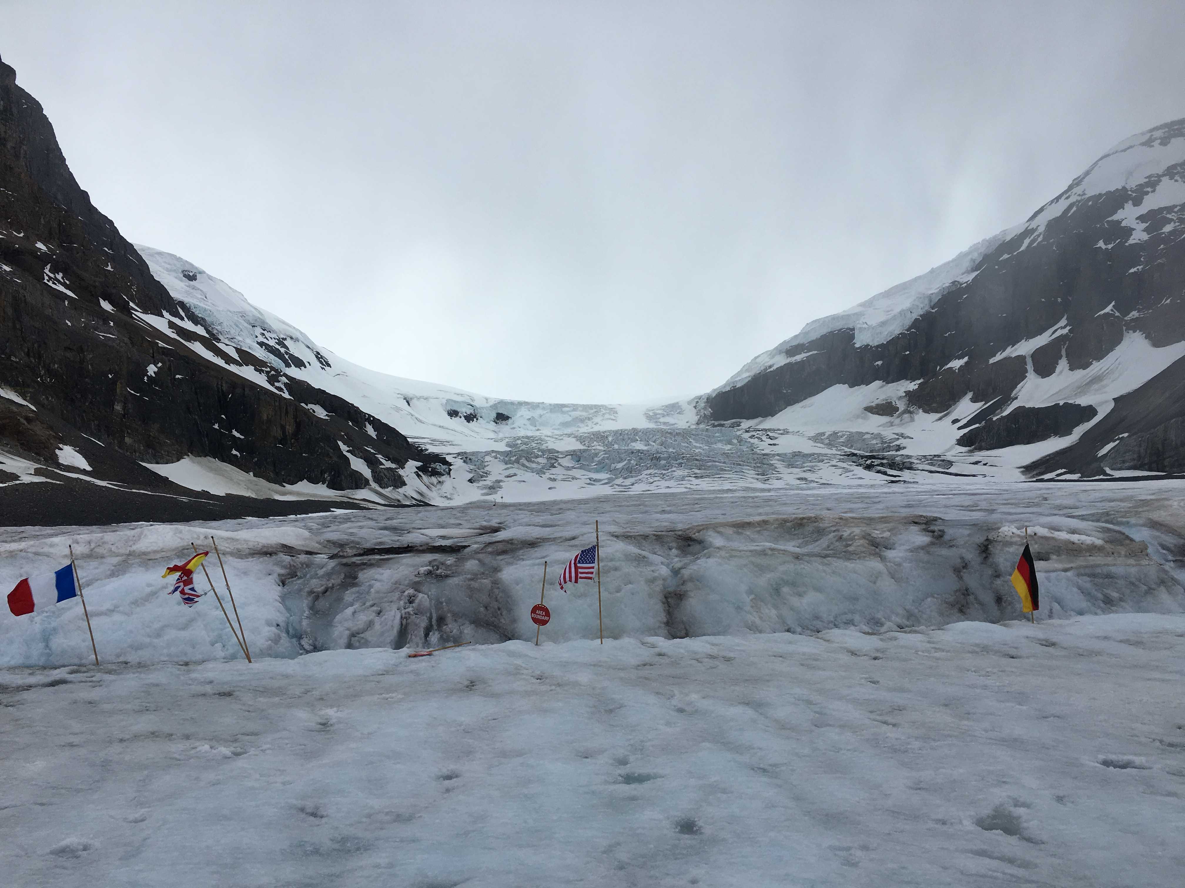
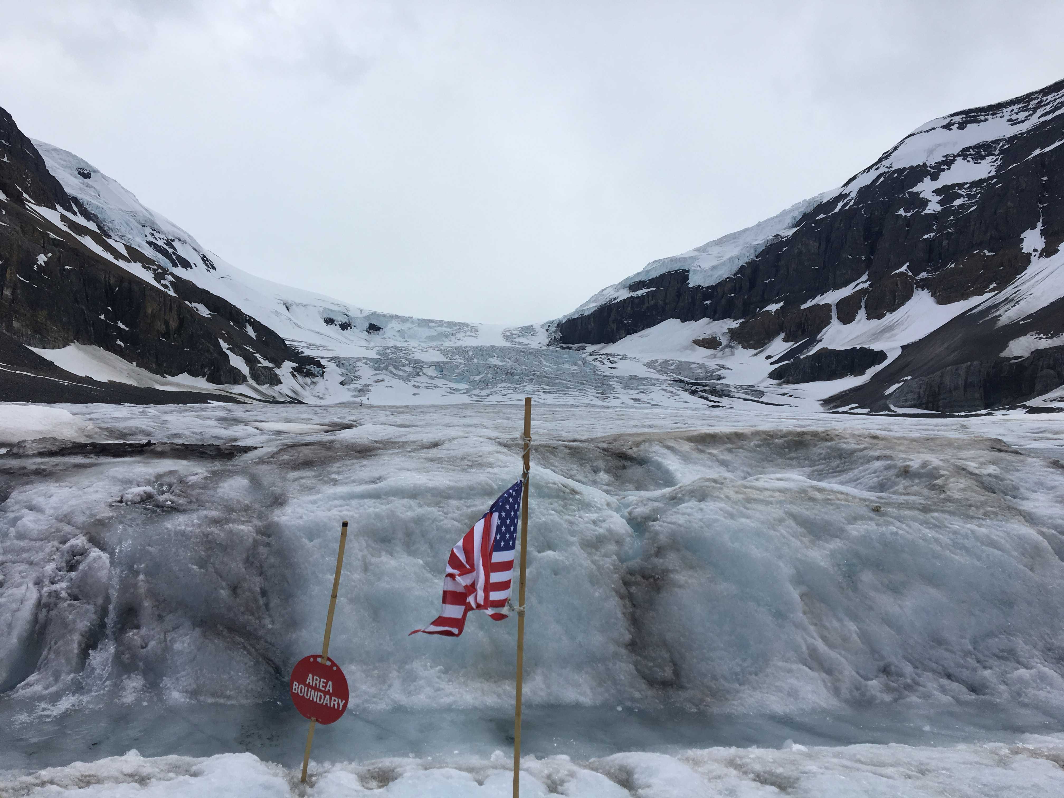
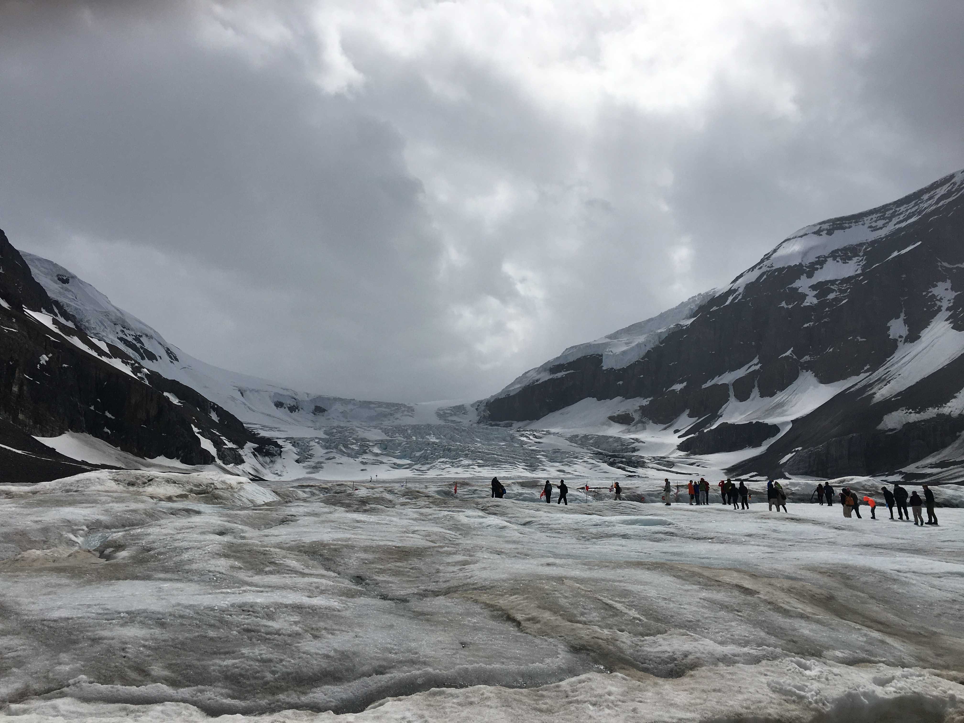
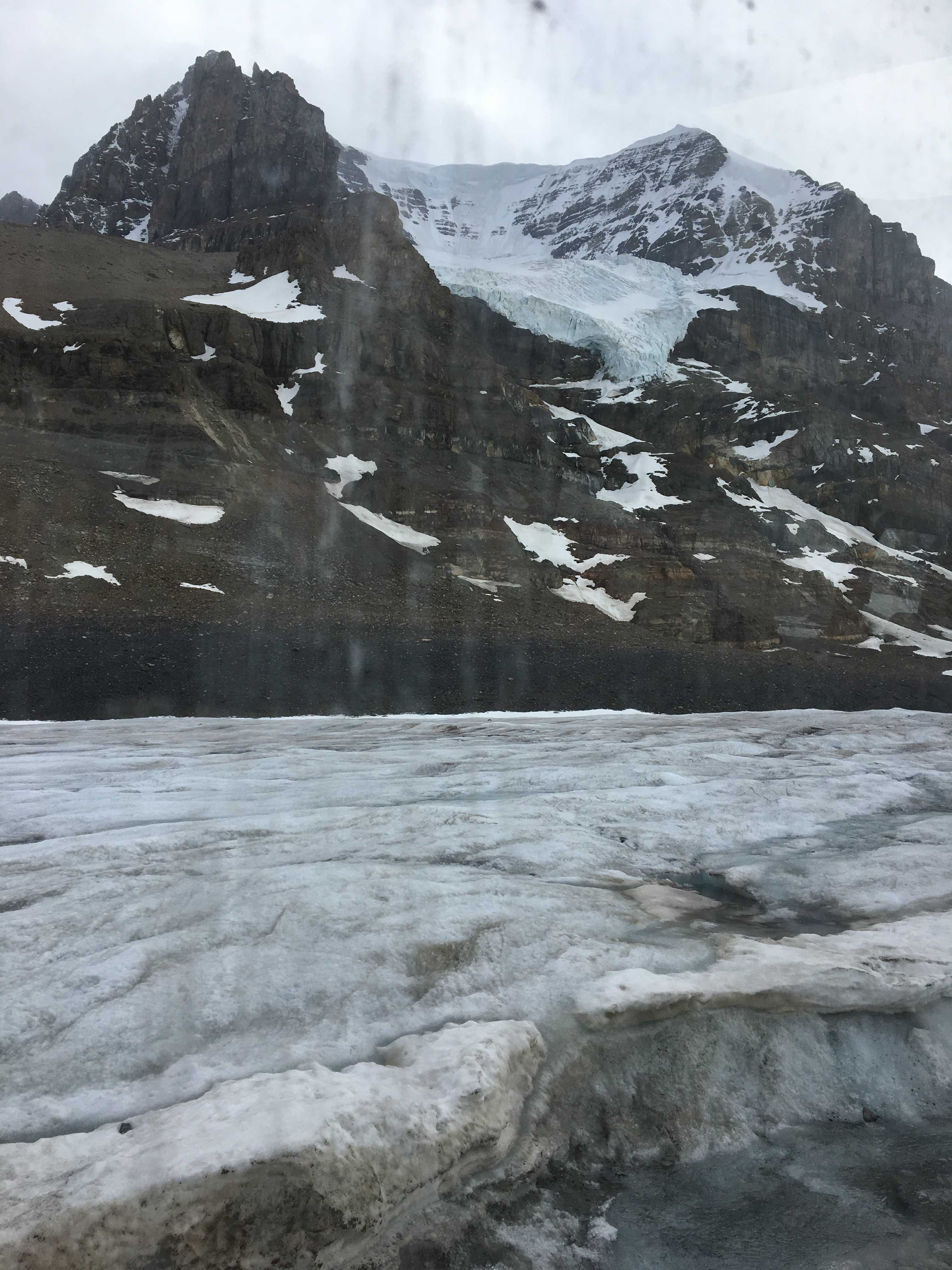
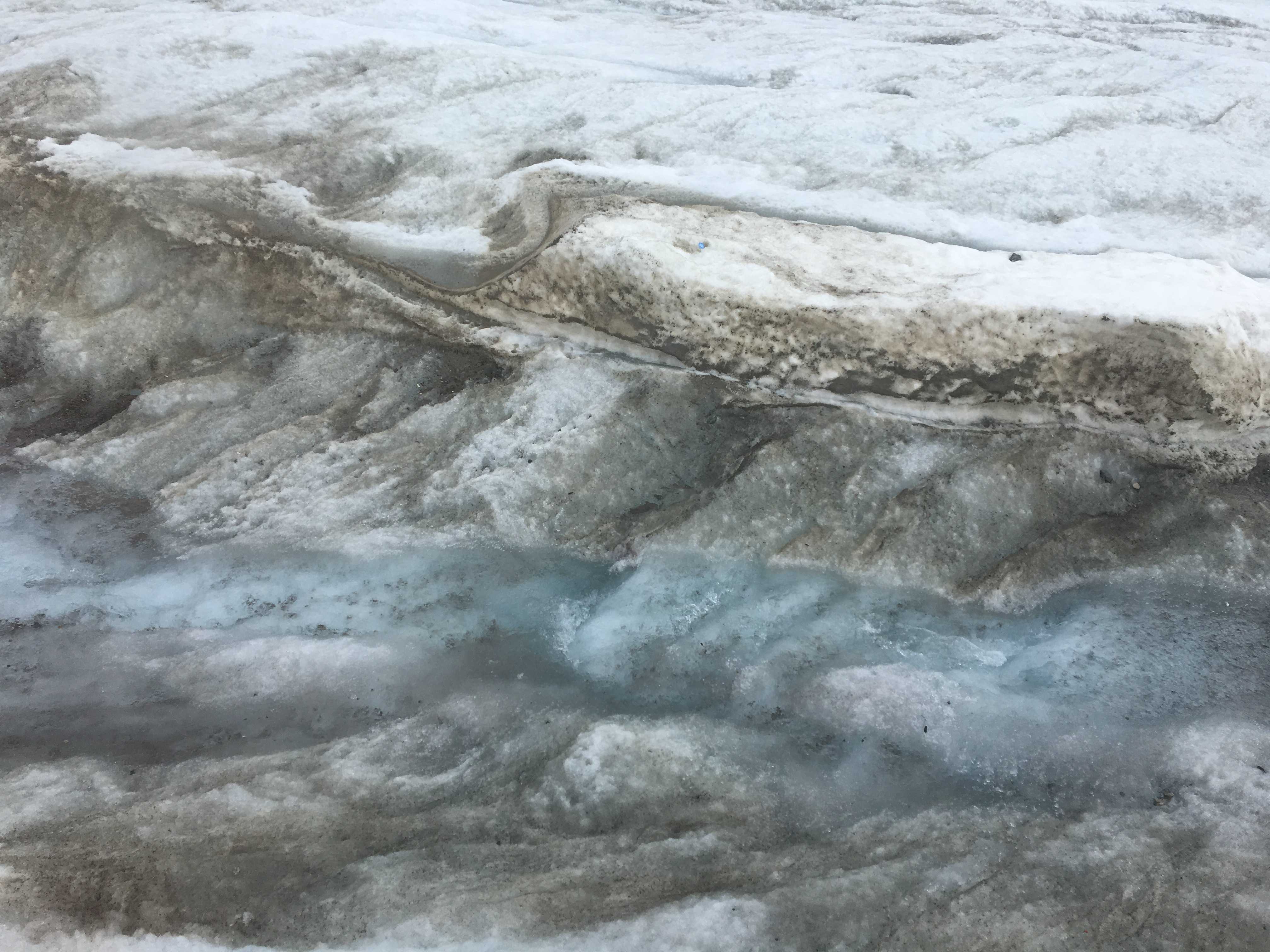
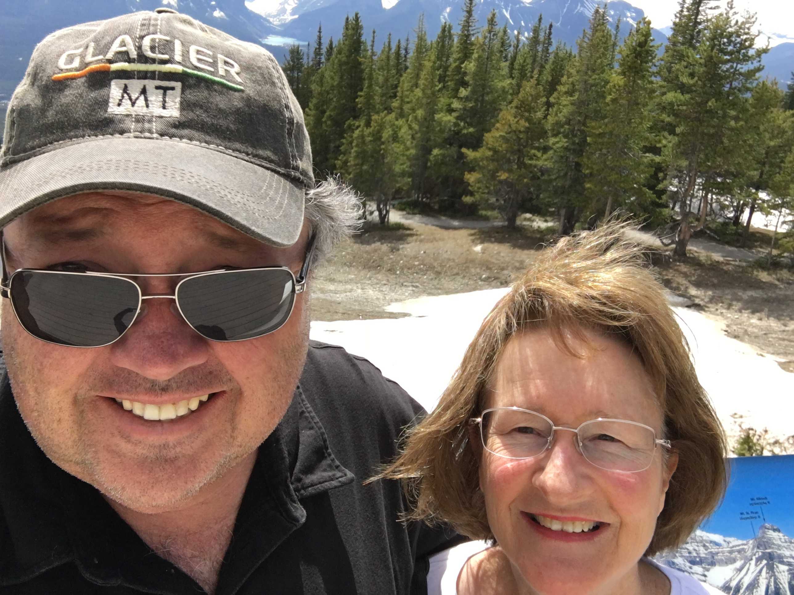
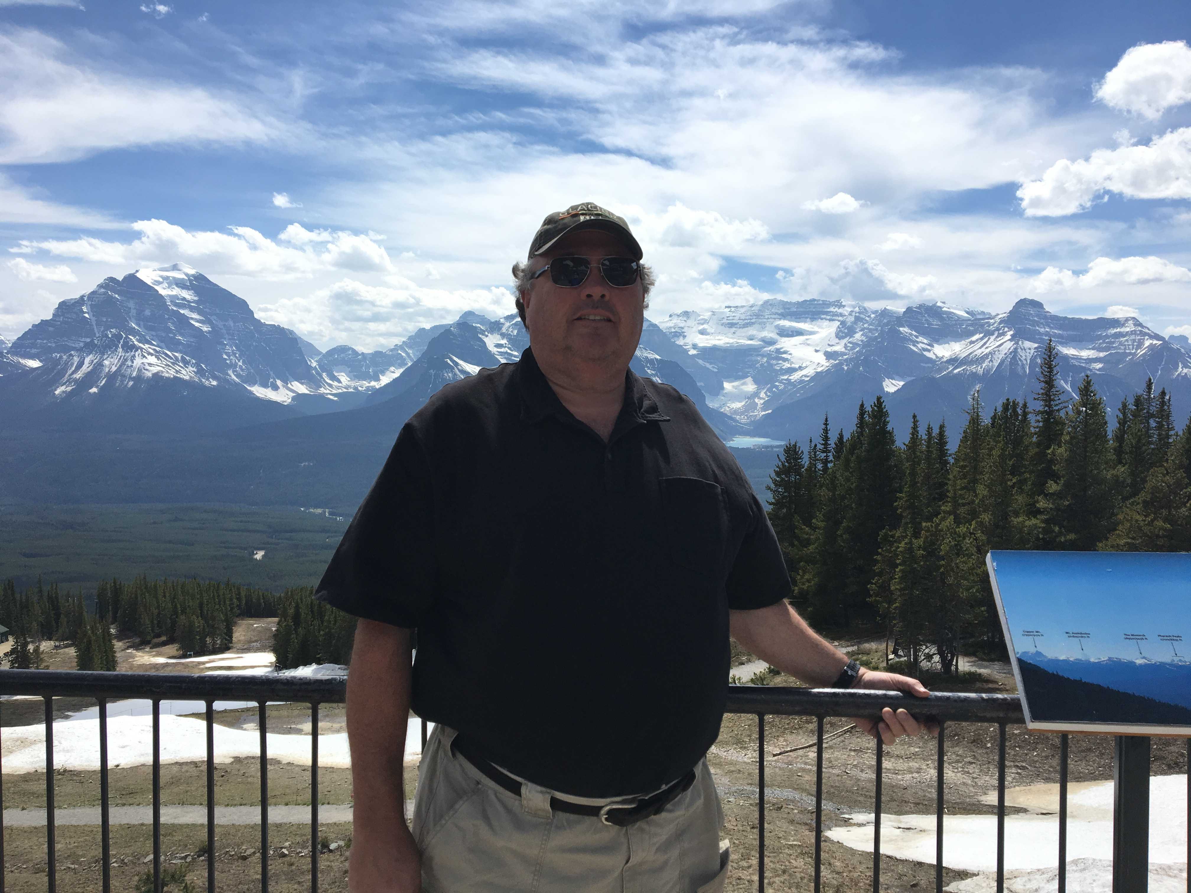
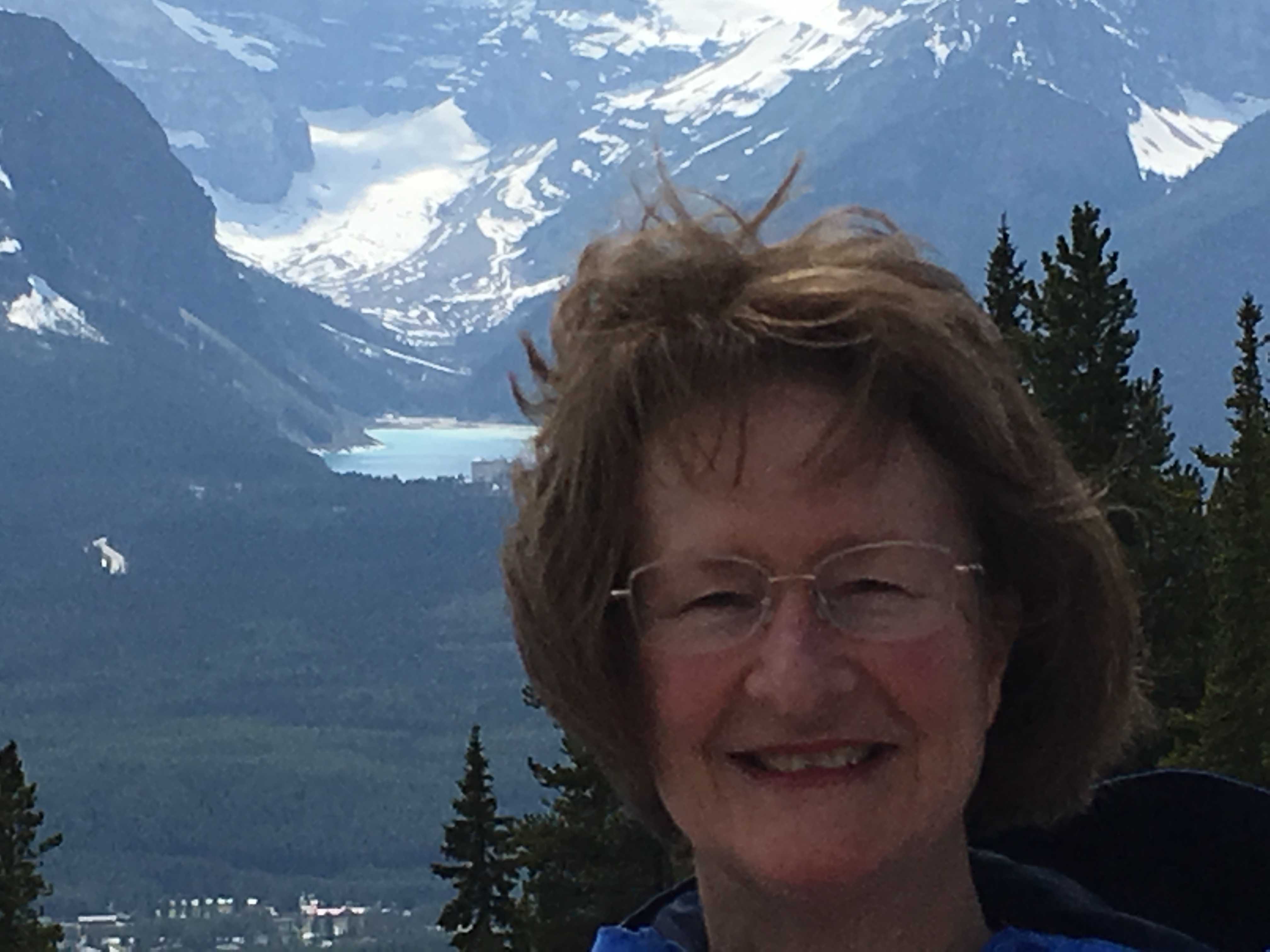
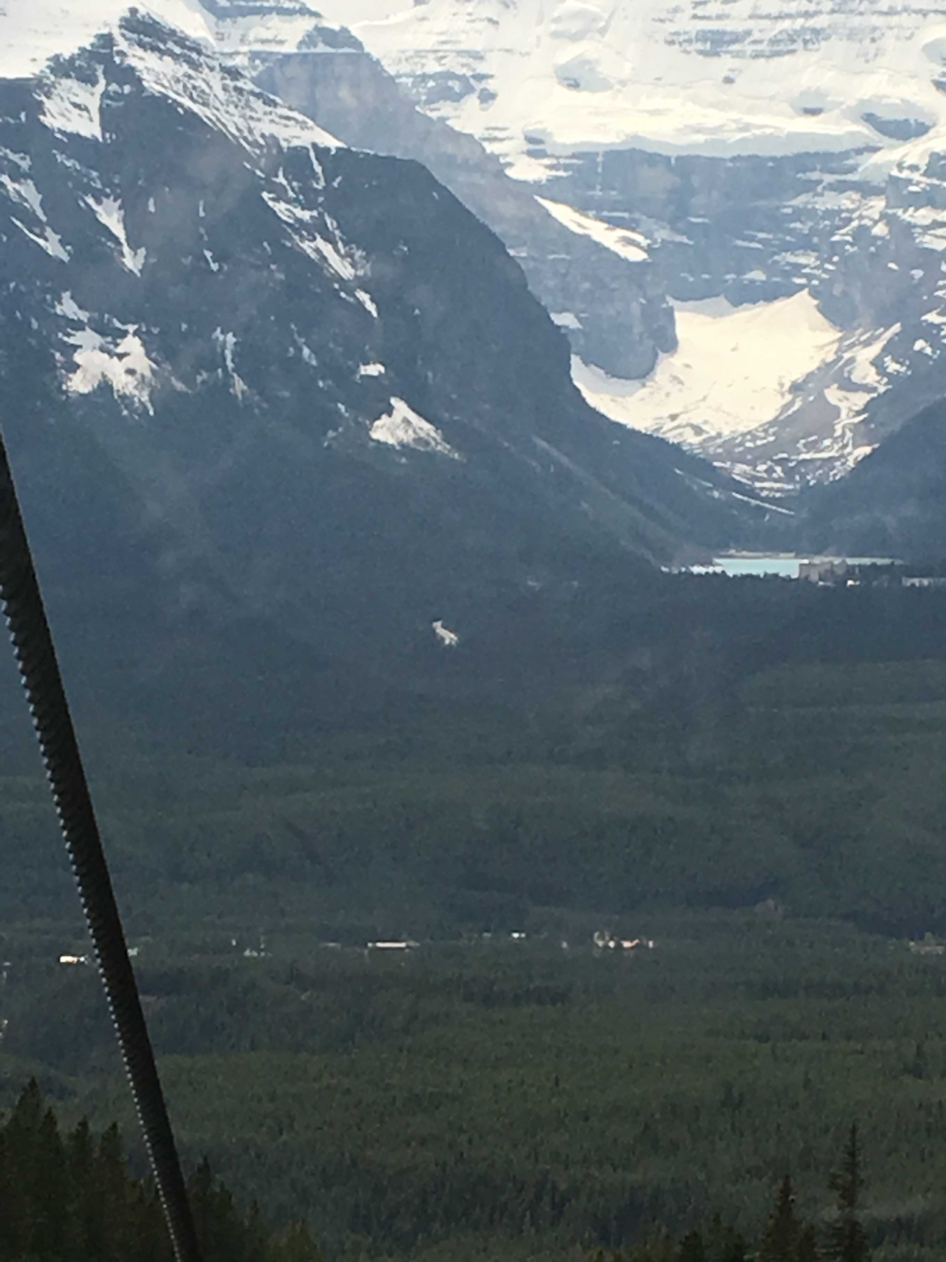
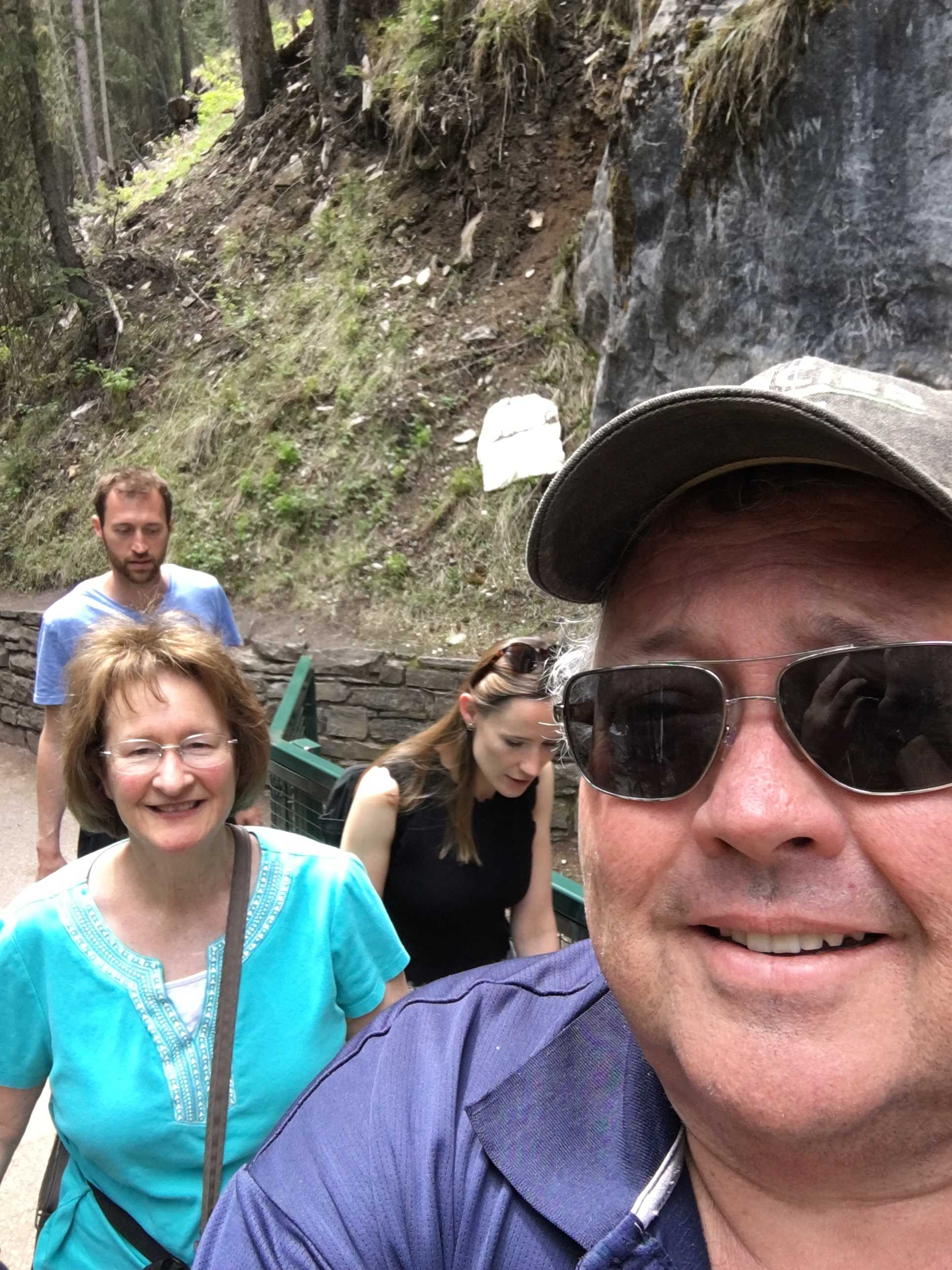
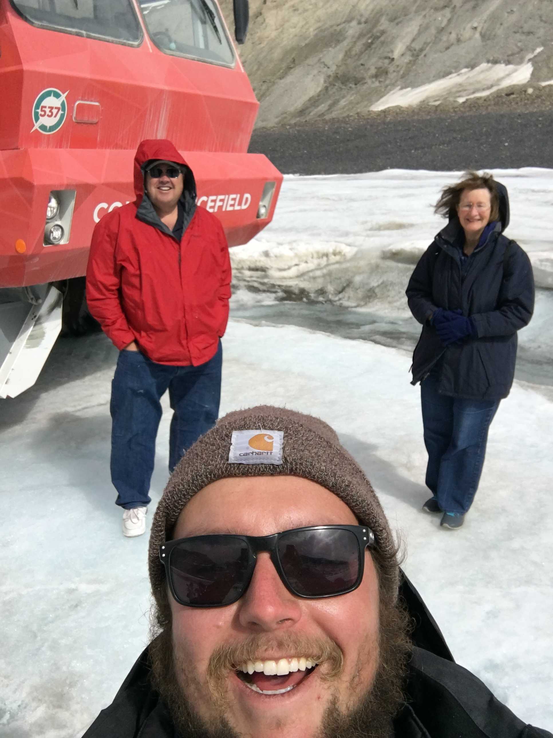
 road to clean the tires. After about 20 minutes in the crawler, we were at the destination on the Athabasca Glacier. It was really cold and windy up there. Since we had never been on a glacier before, it was pretty cool. It really wasn’t that slippery either. So I went around taking pics and got Shane to take a few of us. You can see him in one of the selfie shots.
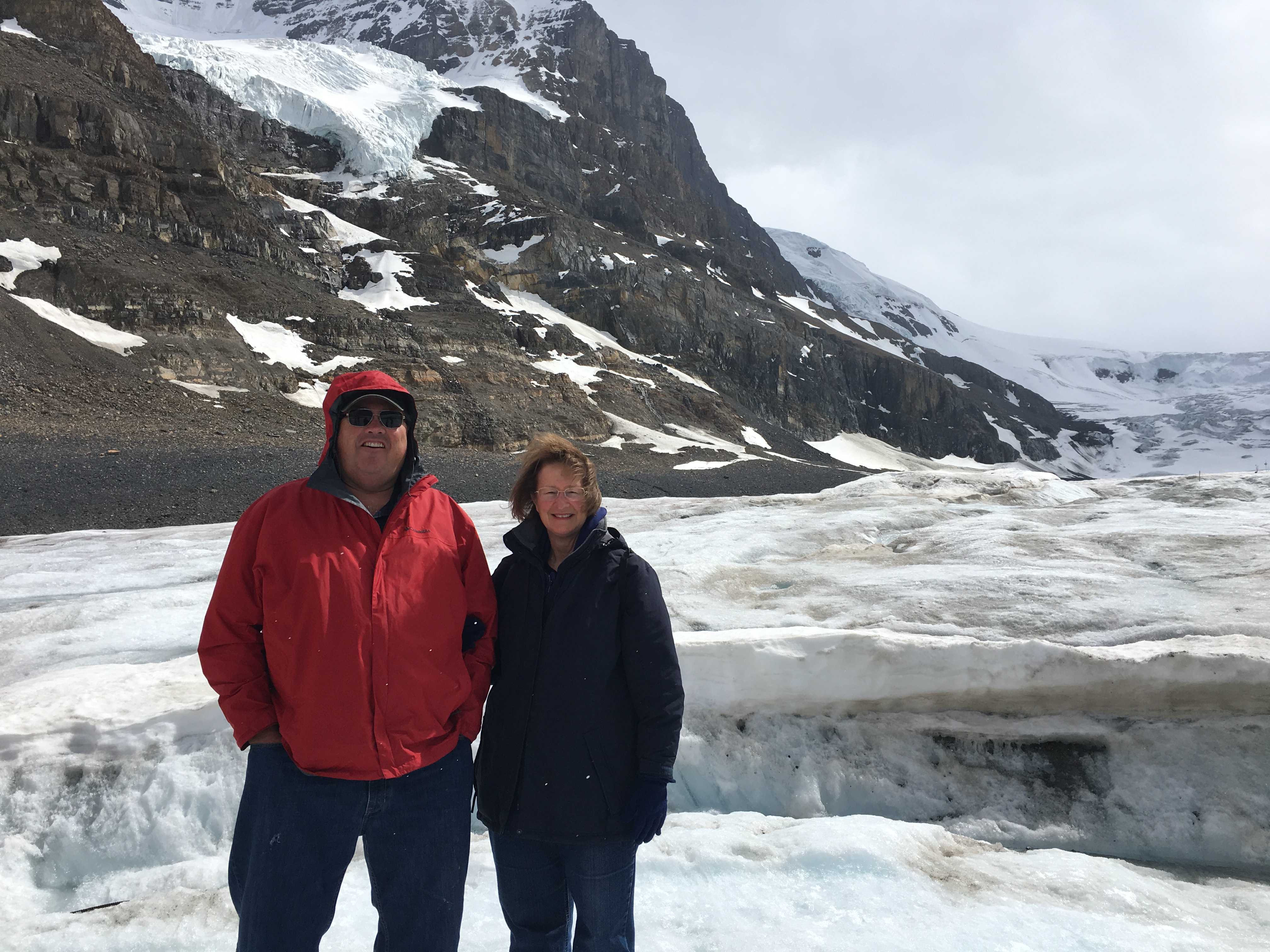

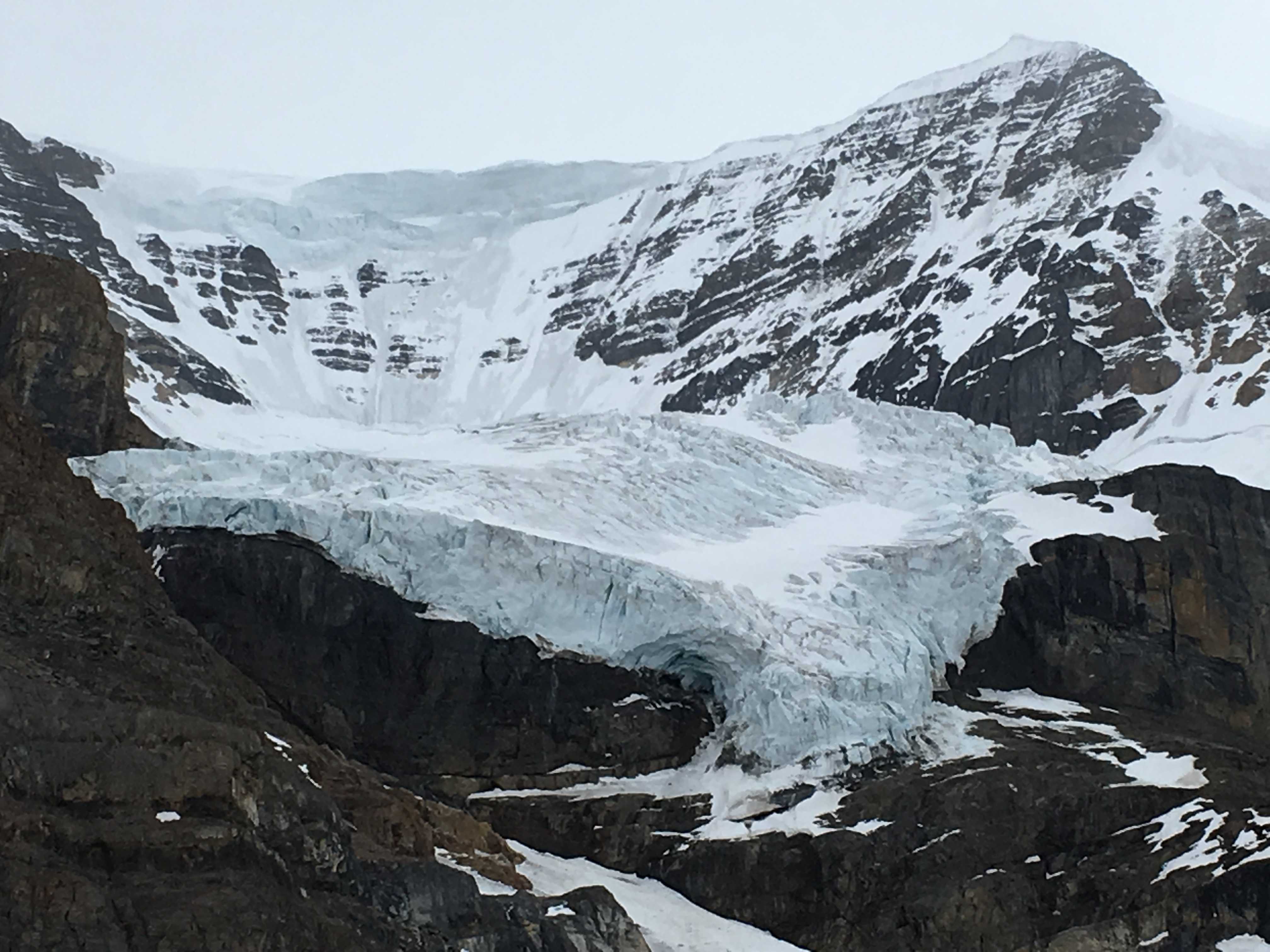
We stayed on the Glacier for 30 minutes, and just prior to leaving, it 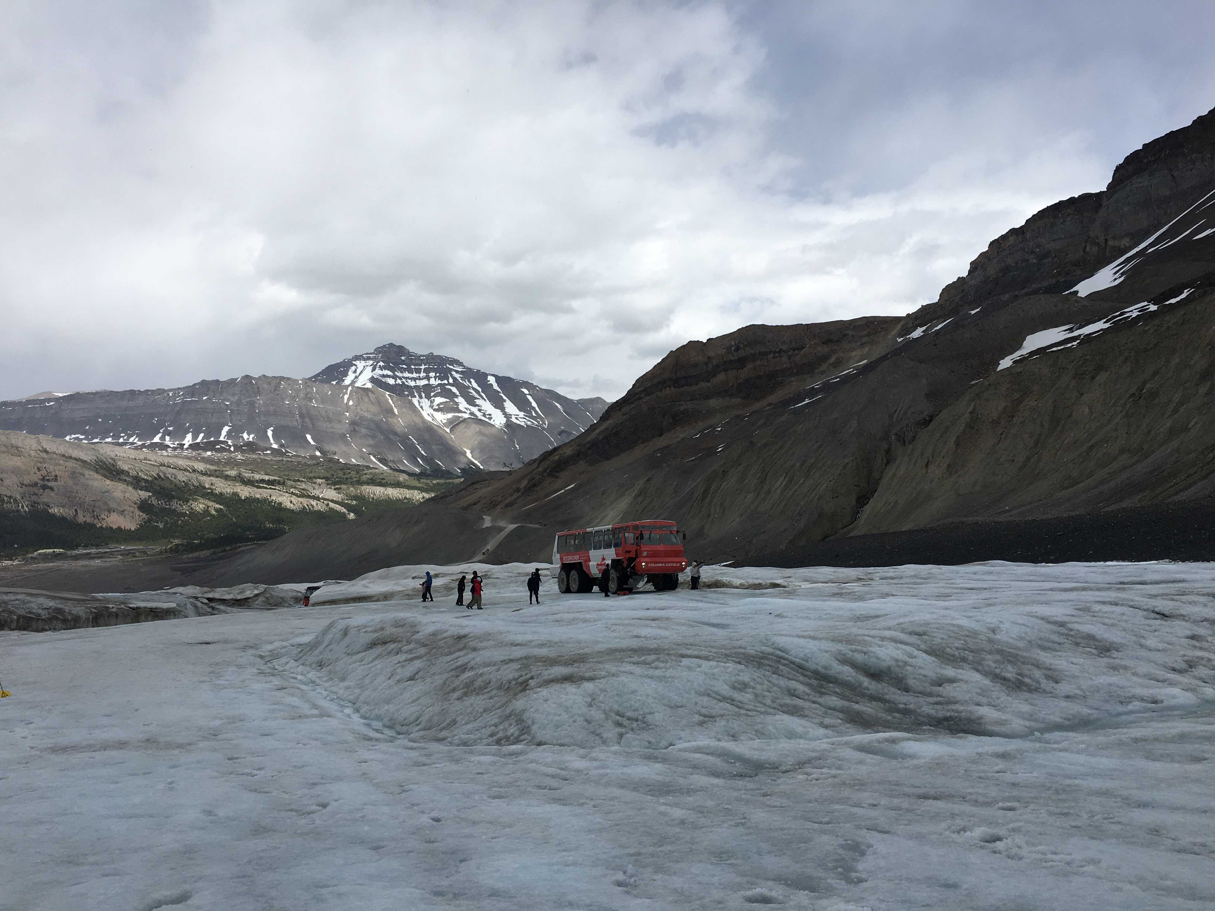 started to snow on us. It’s June, right? That meant it got even colder, so I skedaddled back in the crawler quickly. One poor guy was really unprepared and was wearing sandals and a sweatshirt. The temp was in the 20s with the wind chill factor!
When we got back to the transfer point, we got on the shuttle bus that was to take us to the glass overlook a few miles up the highway. We, and most others, chose not to get off the shuttle bus in the blustery weather at the glass walkway. Instead, we took it back to the center and walked back to the RV, closed it back up, and headed on down the road to find a less steep and windy place to sleep.
We drove toward Jasper and tried Wapiti Campground, but they were full. It was quite a chore to get back out of that campground. Thankfully that ranger in the kiosk told us about Snare River Campground overflow. We programmed that in our 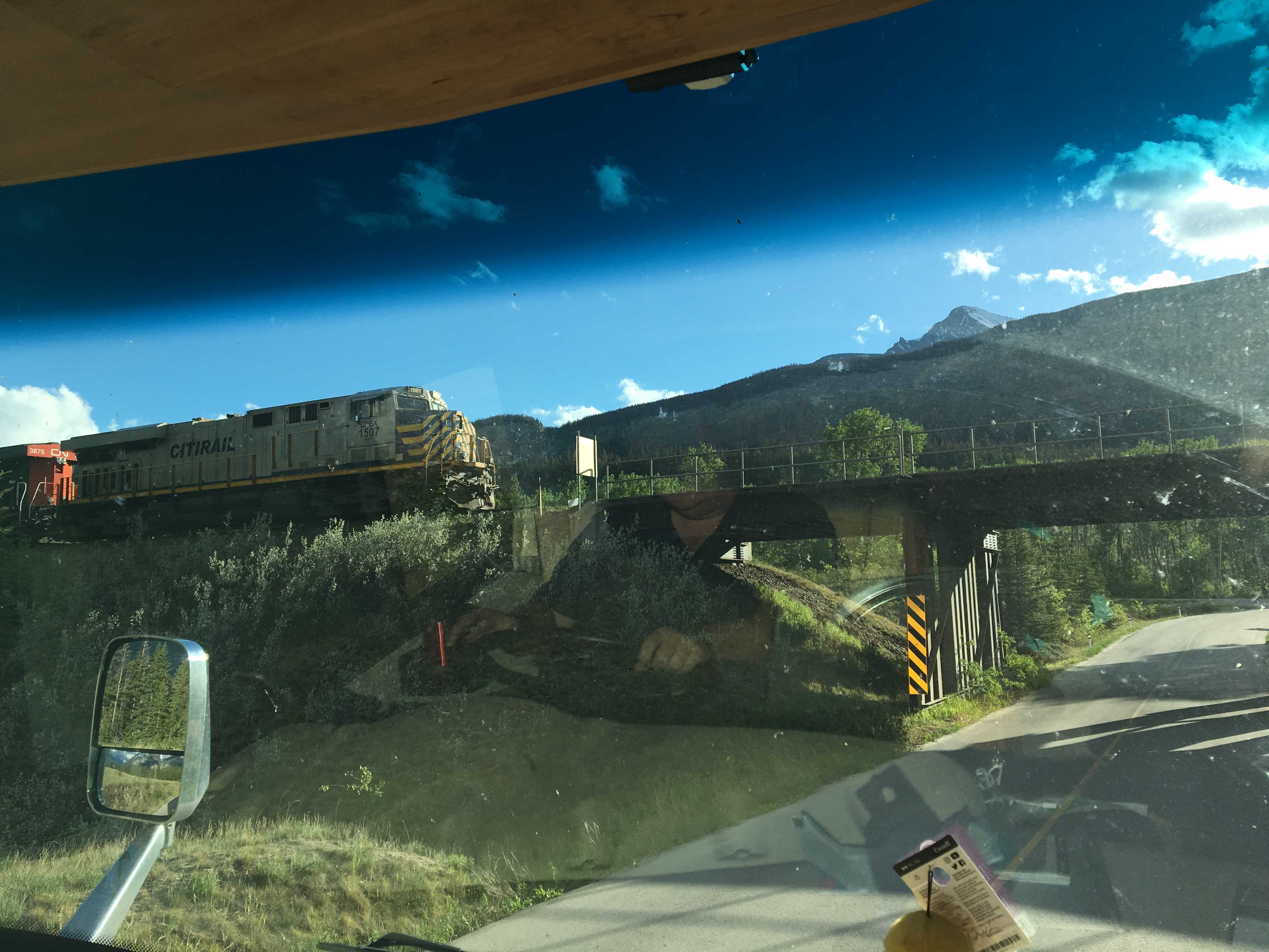 GPS and took off to find that. By now it was 8 pm and as we got to the turnoff, I stopped in the left-turn lane to see a train trestle without any height sign. I didn’t want to temp fate, and we sat there for a few minutes and a car came thru it, so we could tell it was pretty tall. We drove under it very slowly in case we were mistaken.
About 5 km down that small road was the Snaring River Campground and we turned in. That wasn’t where the overflow was and I had to disconnect the car to be able to get out of that campground. This was getting to be a long day! Turns out the overflow for Snaring River was about 300 meters down the road on the other side of the Snaring River. The bridge we needed to cross didn’t look so good. It appeared to be covered in asphalt over a wooden deck, and lots of the asphalt was missing, showing the splintered and possibly rotten wood underneath. We got across. (I think Kathy waited till I was all the way across before she drove the car over, as she didn’t feel the need to plummet into the fast moving and probably very cold water.)
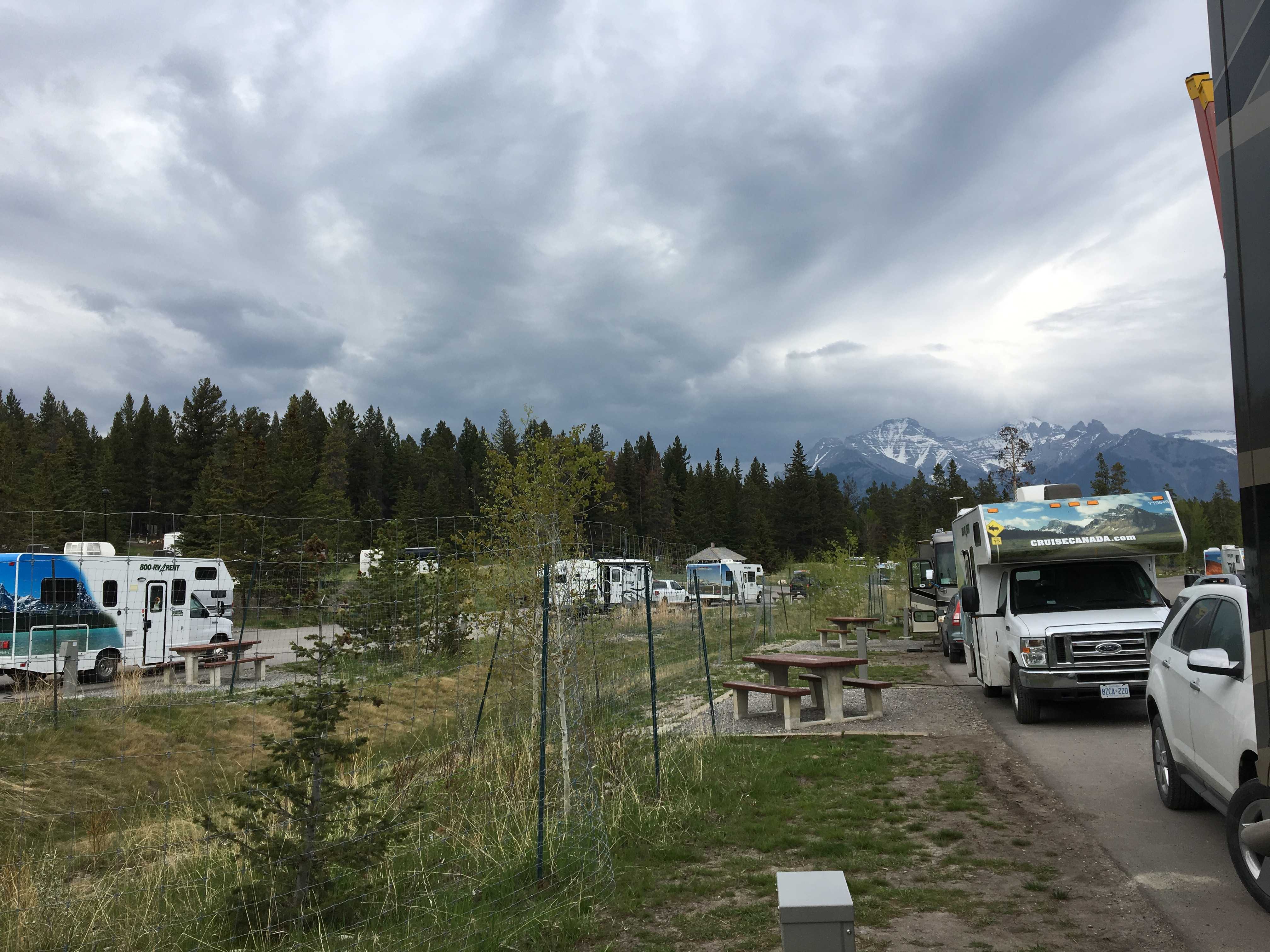
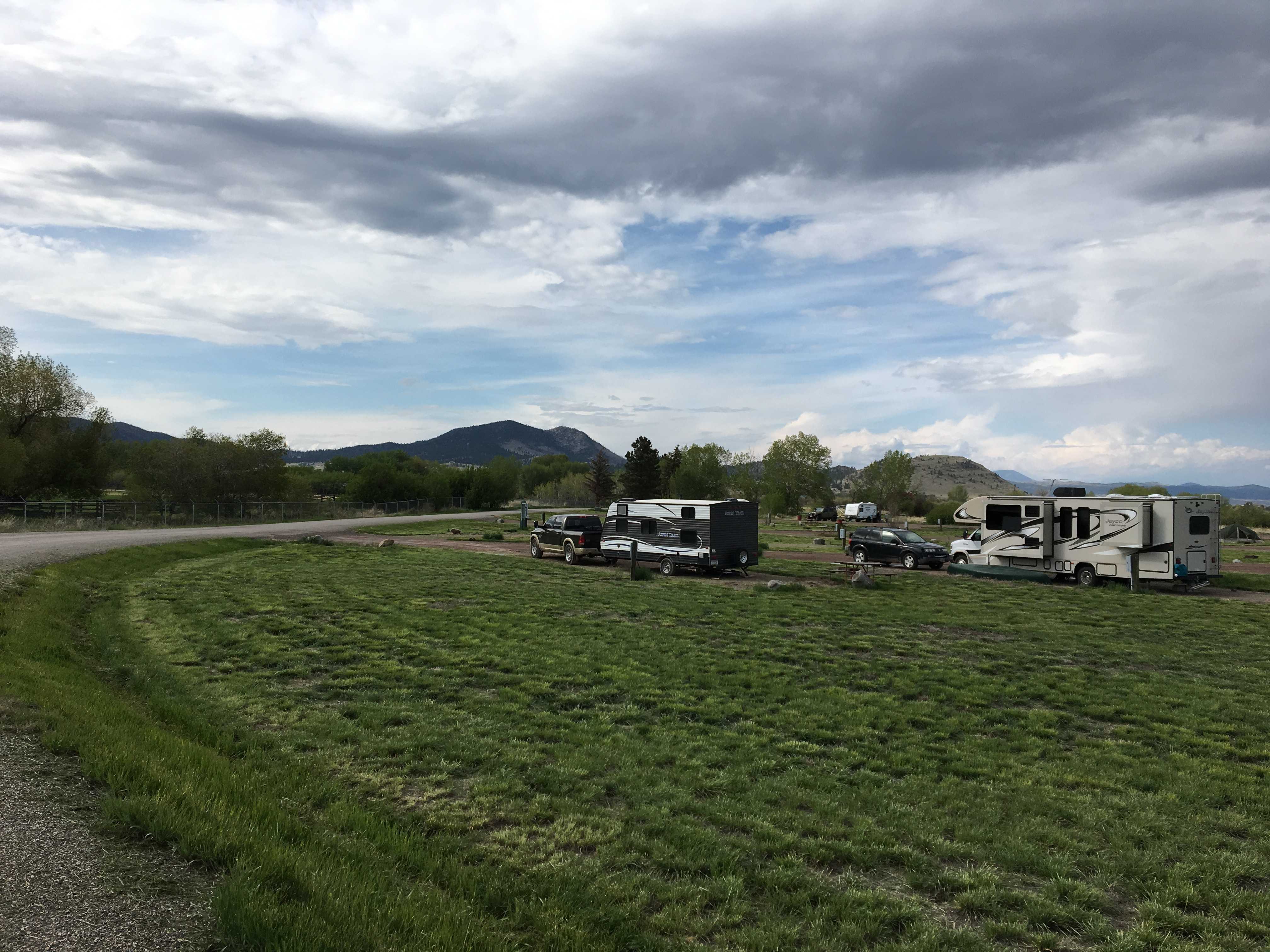
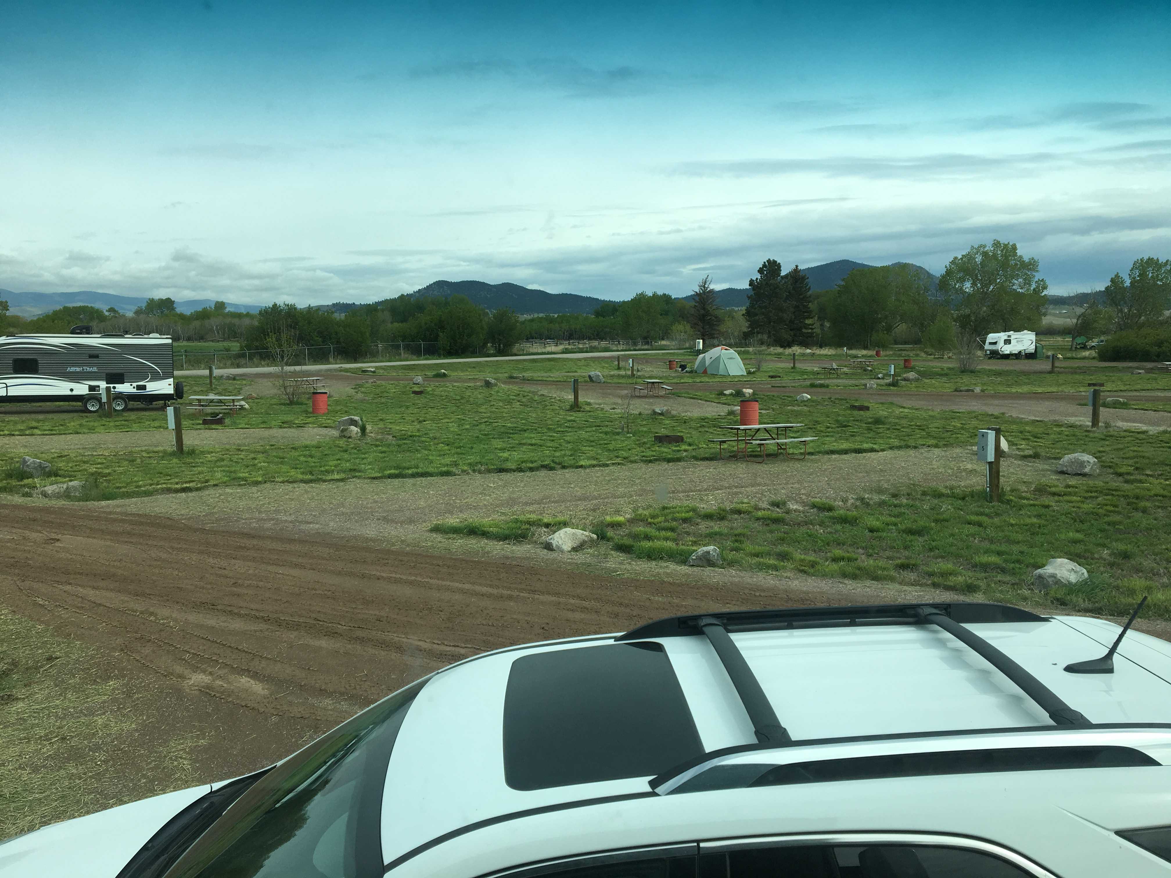
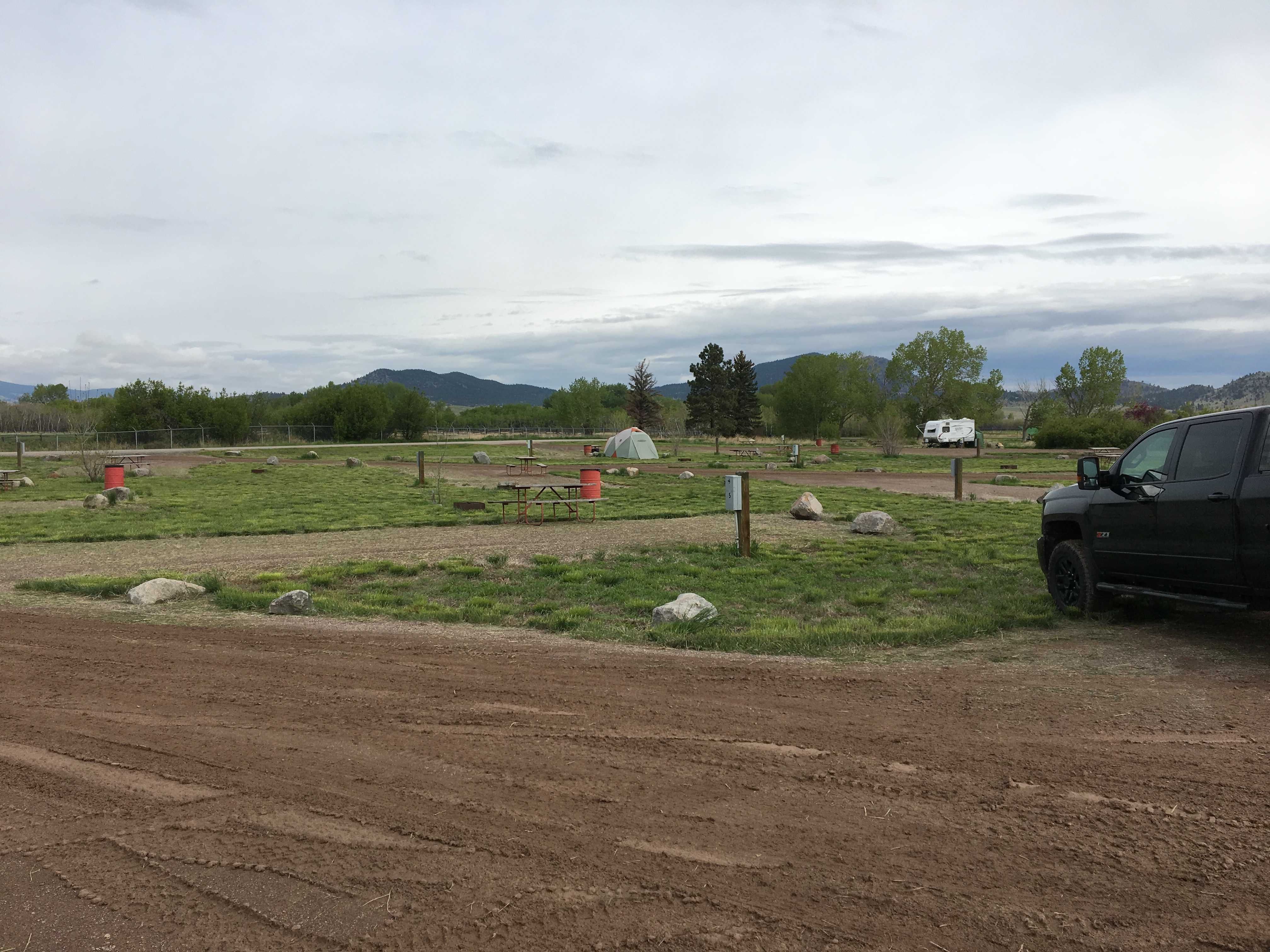
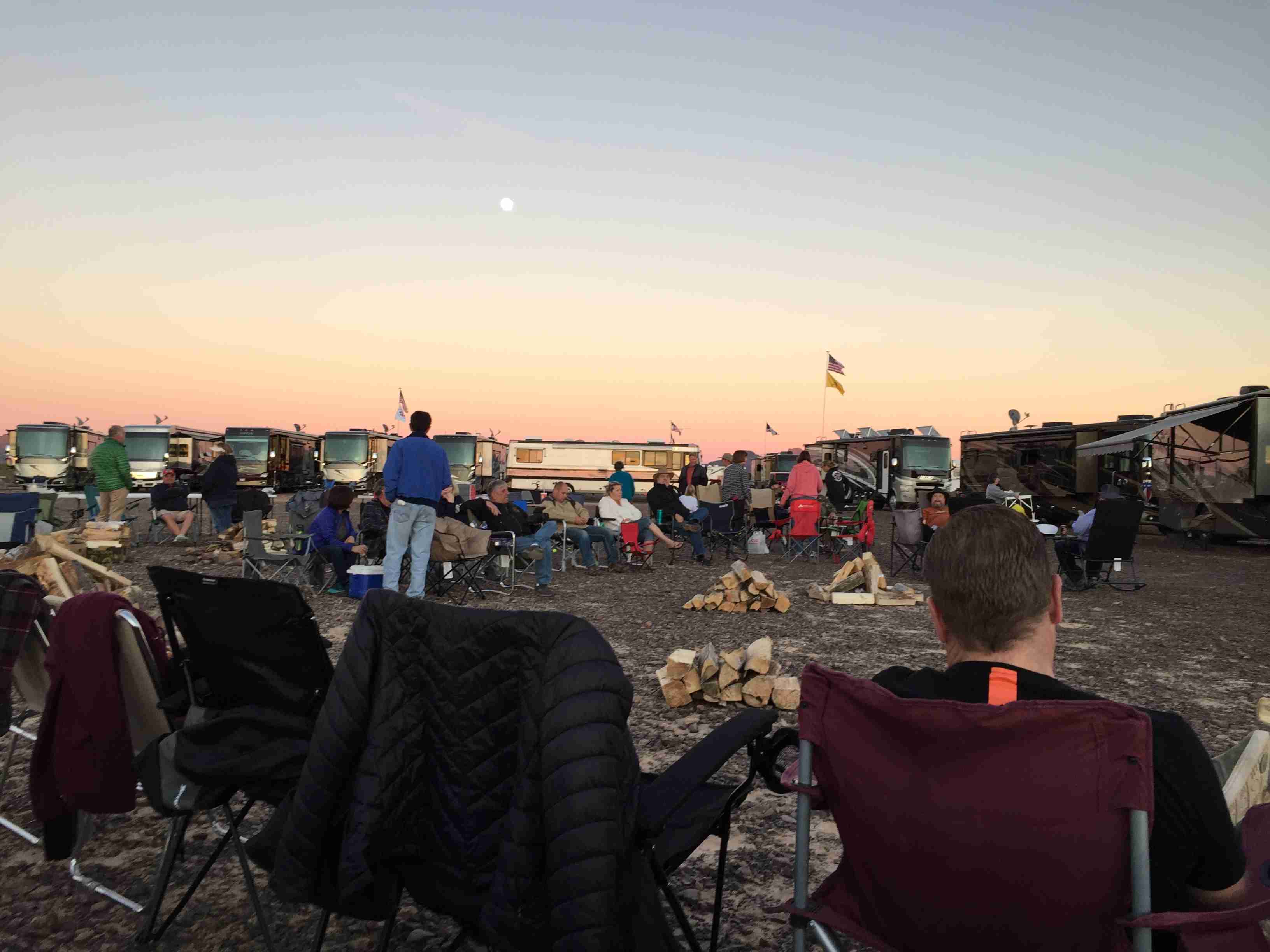
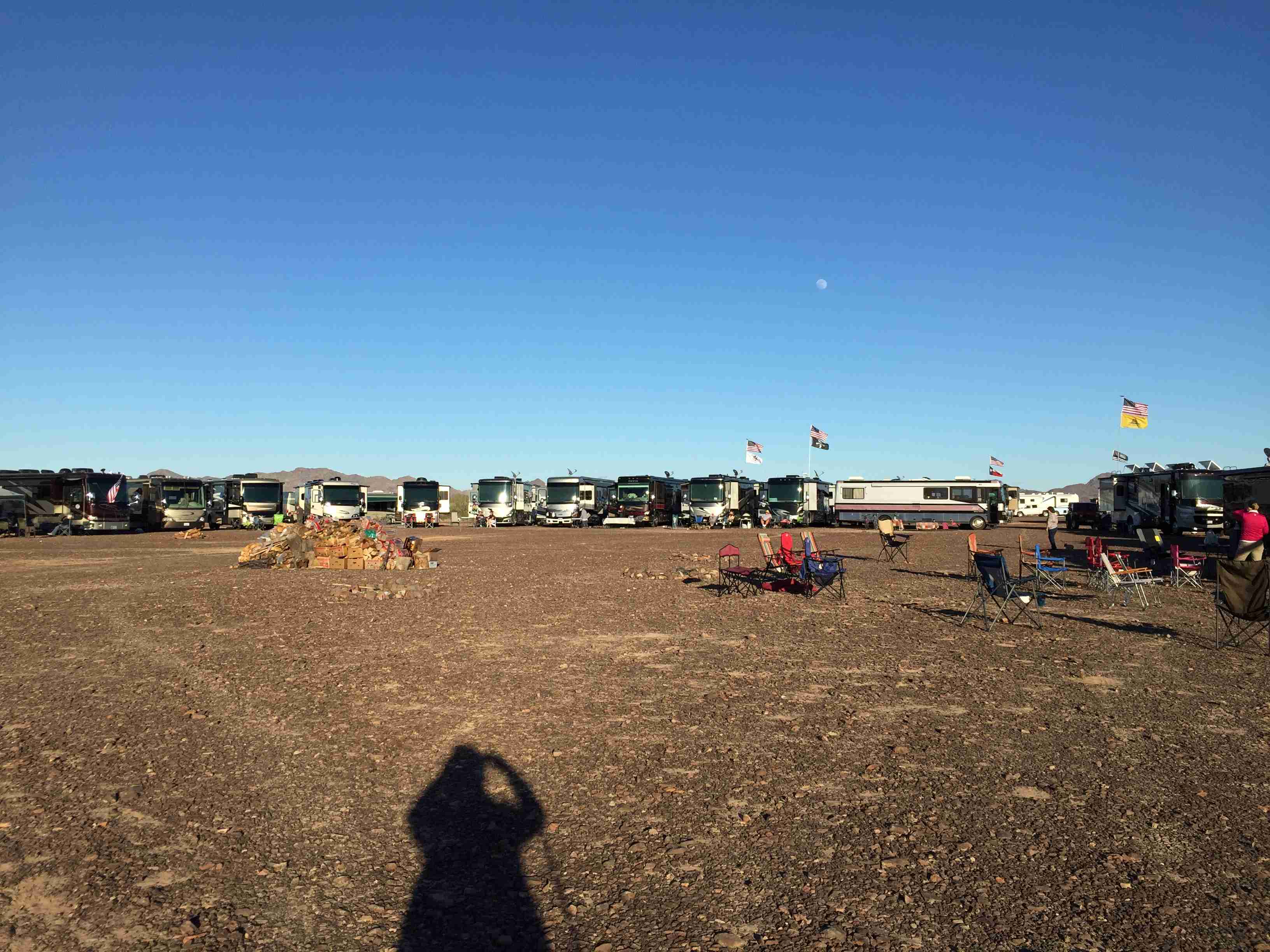
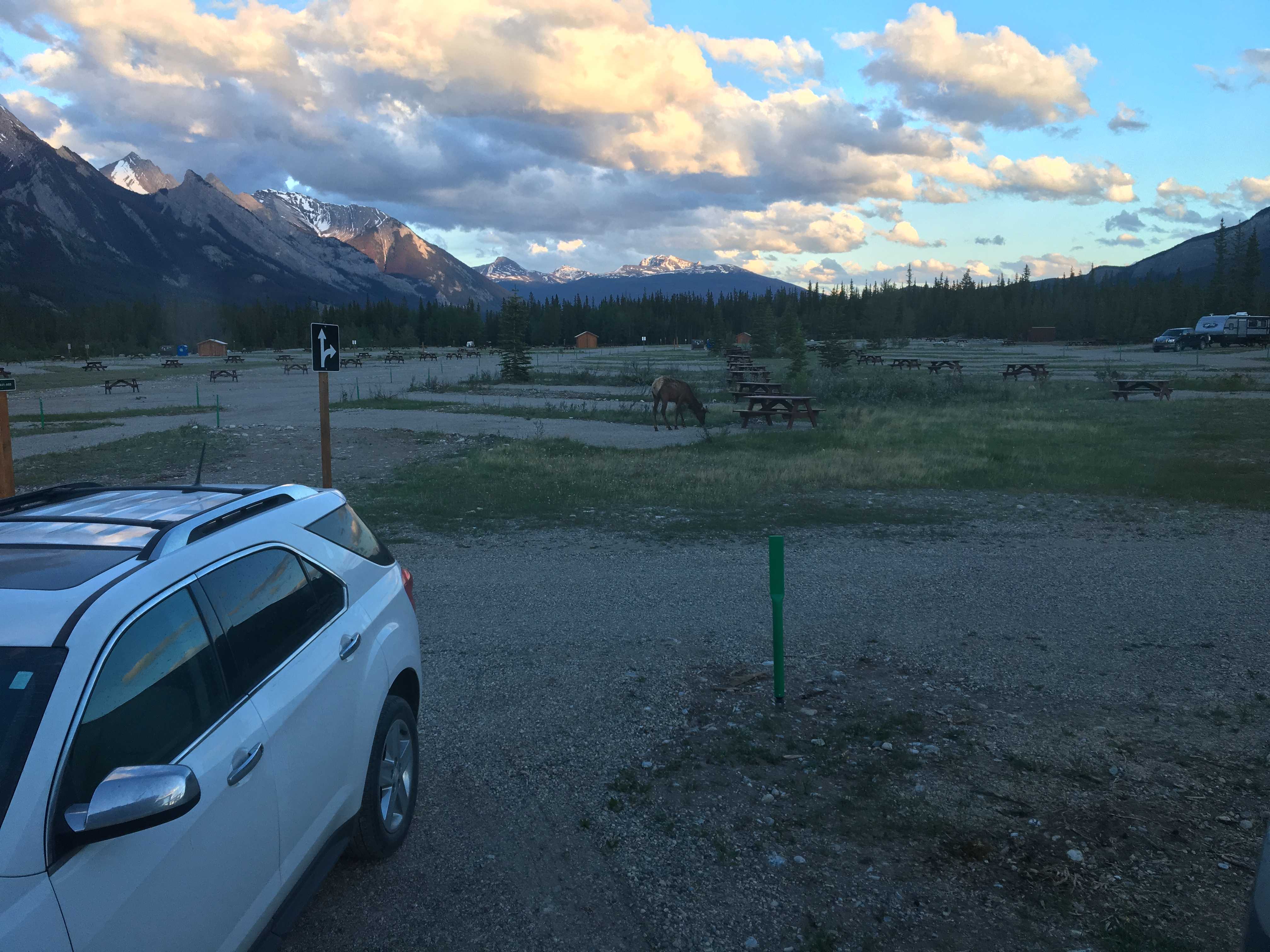 We drove into the campground, paid our $15 and drove thru this huge campground with 3 other campers in it. The place had 300+ sites, all with compacted gravel parking and each had a picnic table. There were no other hookups. Later we found a few large water tanks, but they appeared to be gravity fed, so we weren’t going to fill the RV tanks with that.
![]()
![]()
![]()
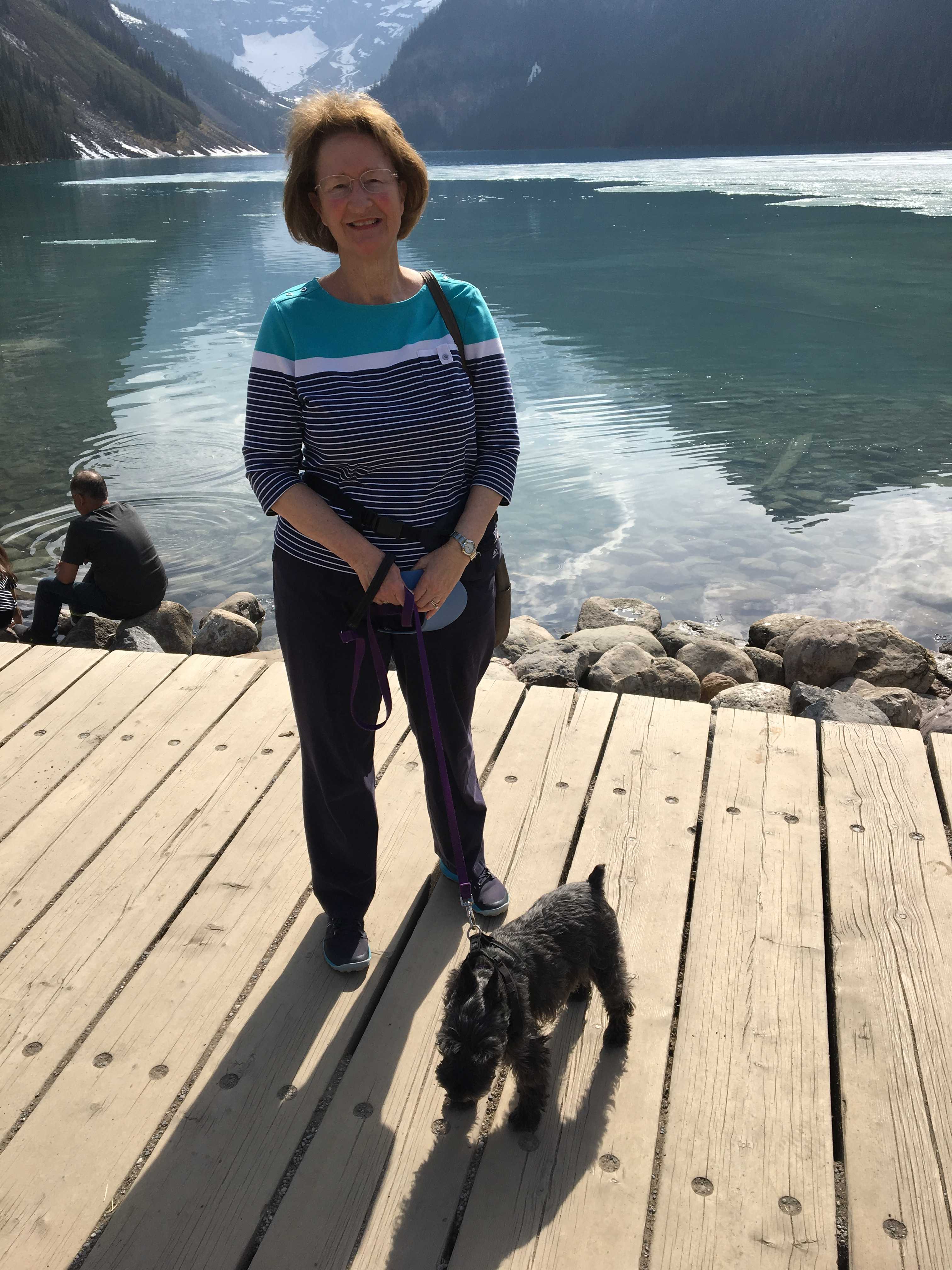
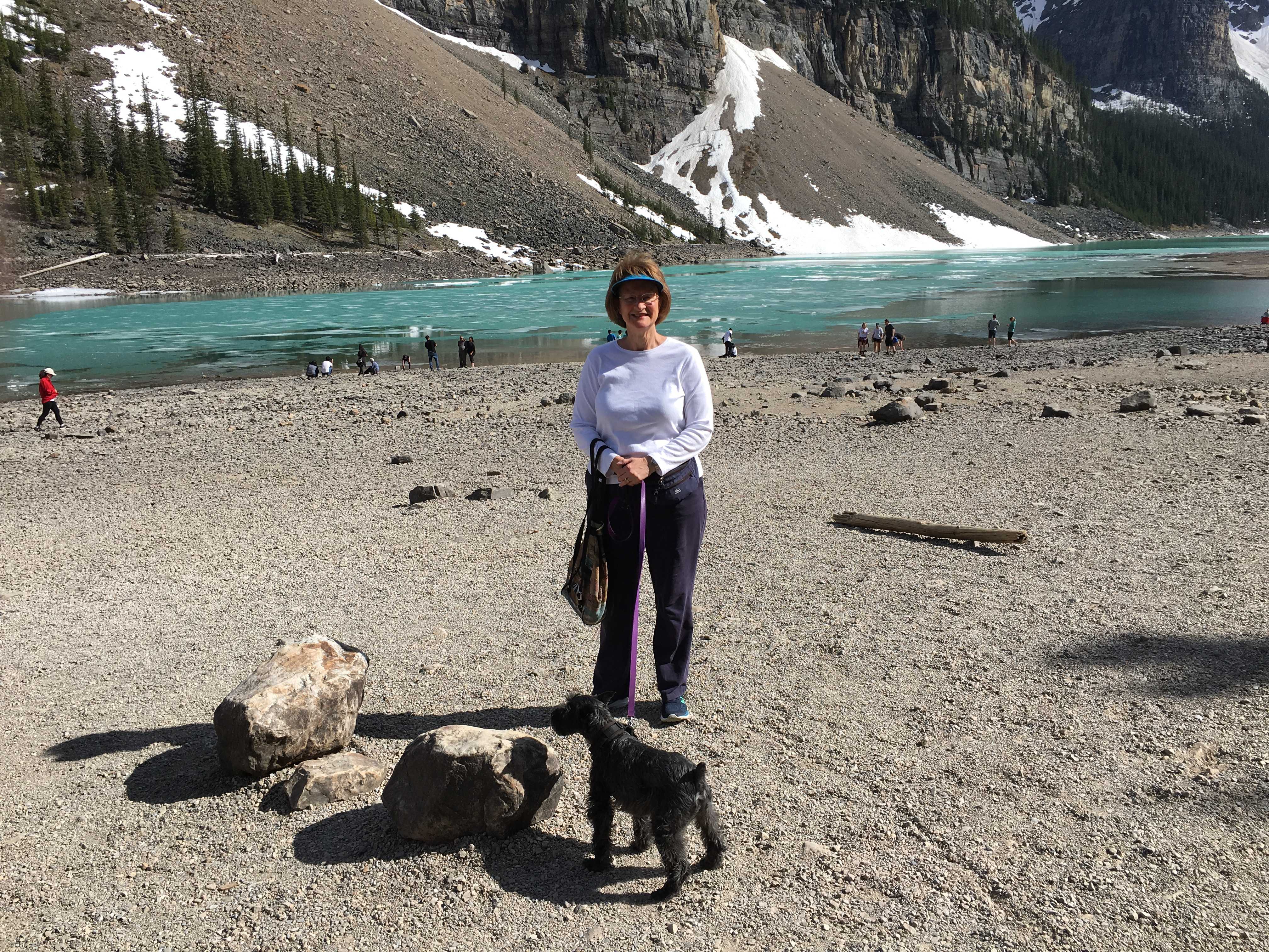
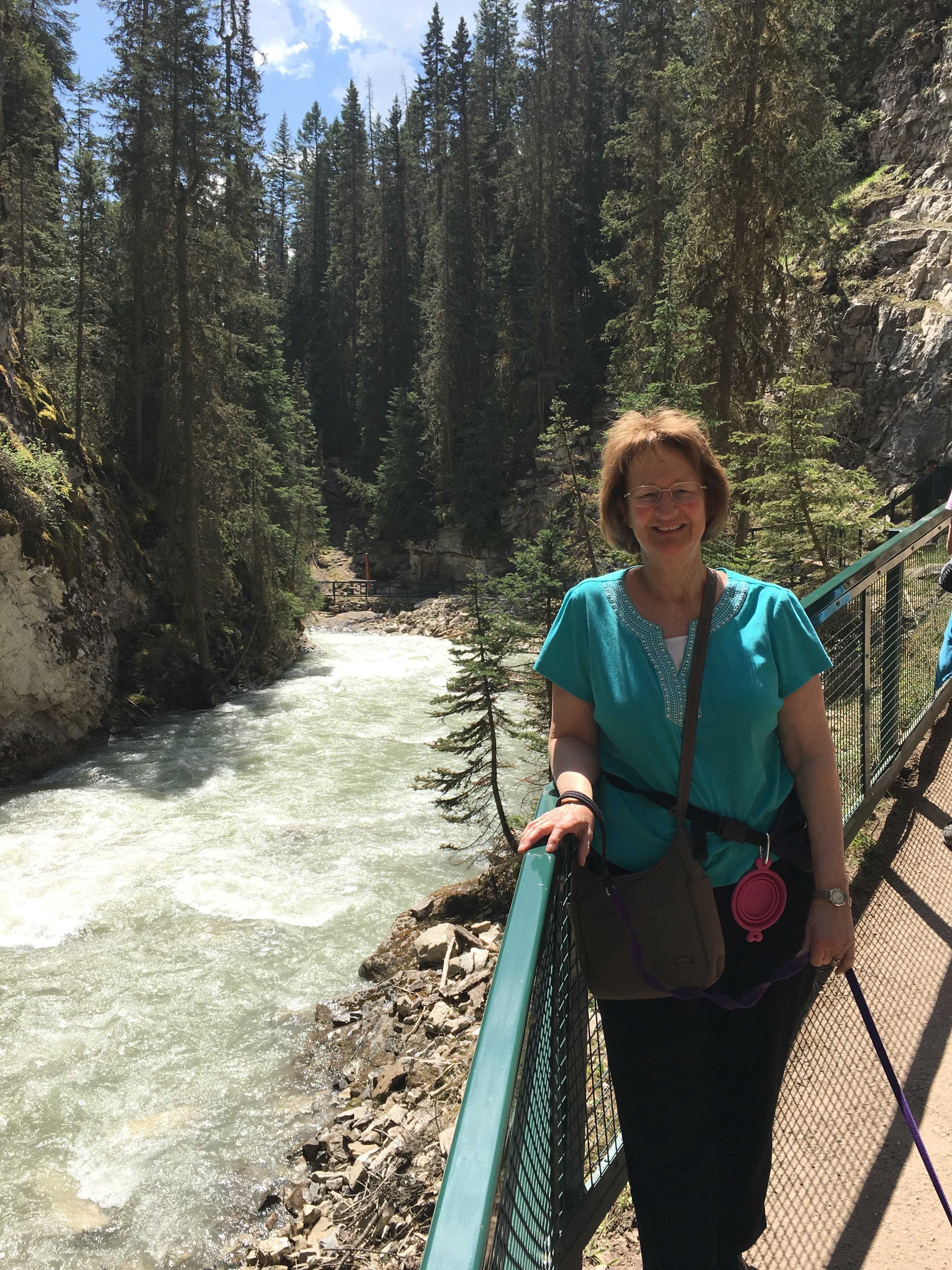
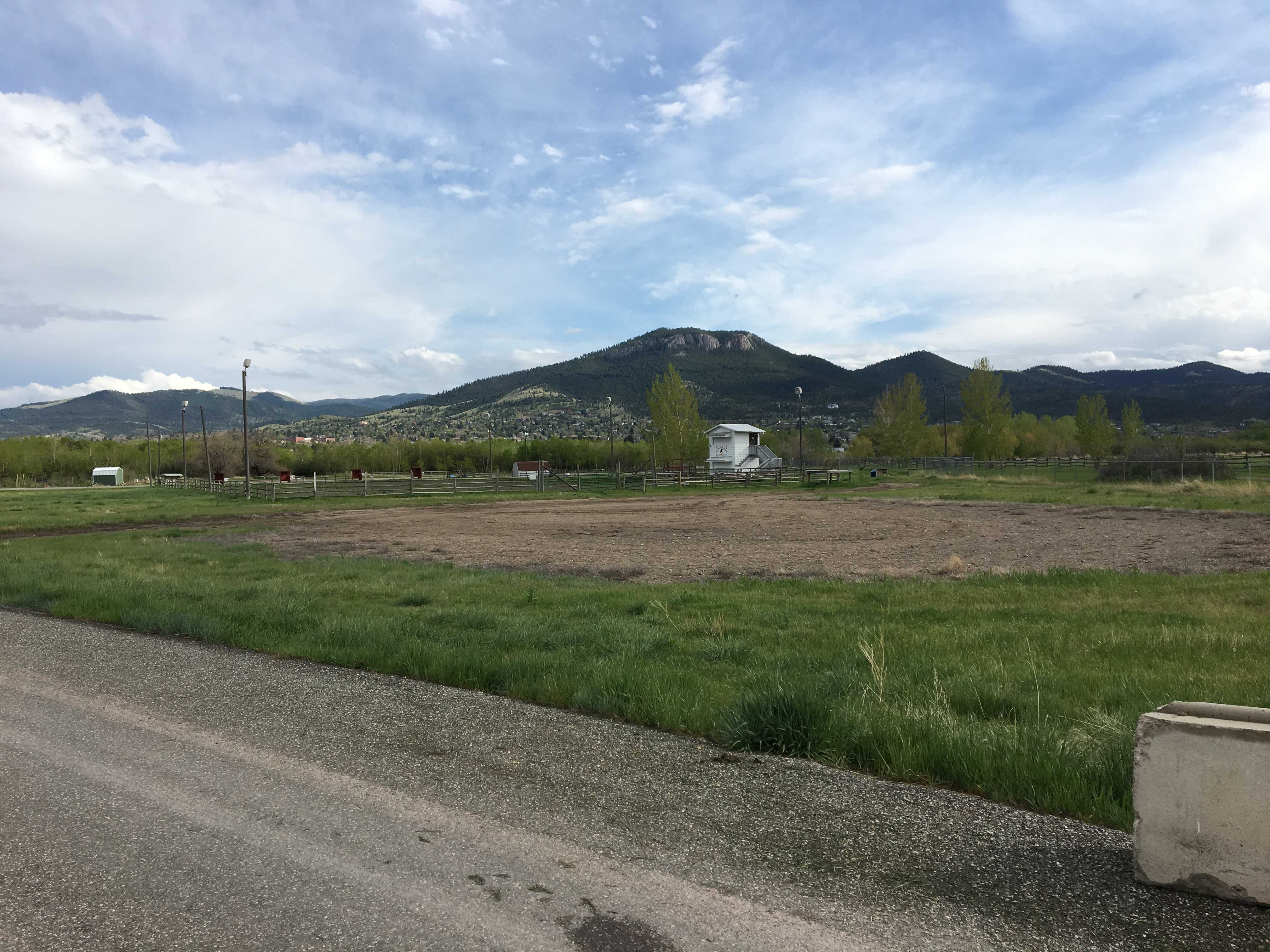
An elk grazed thru the sites in the evenings.. We got in there close to 9 pm. The place only allows two-day stays, which I had never experienced before, especially considering there were at least 298 unoccupied sites available. Of course, there was a train track a few hundred feet from us, but no train whistles were to be heard. No grade crossing within ear shot I guess.