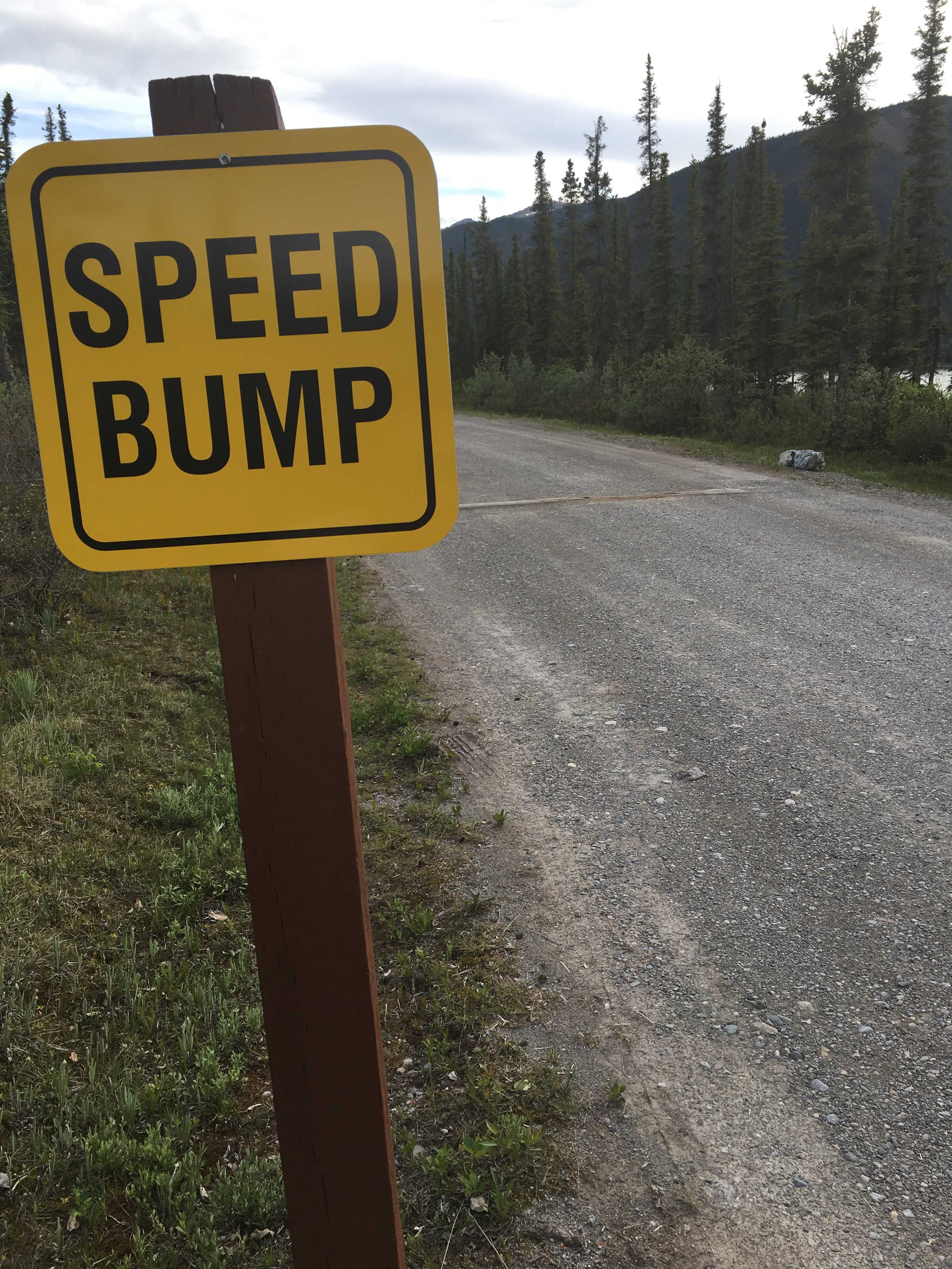
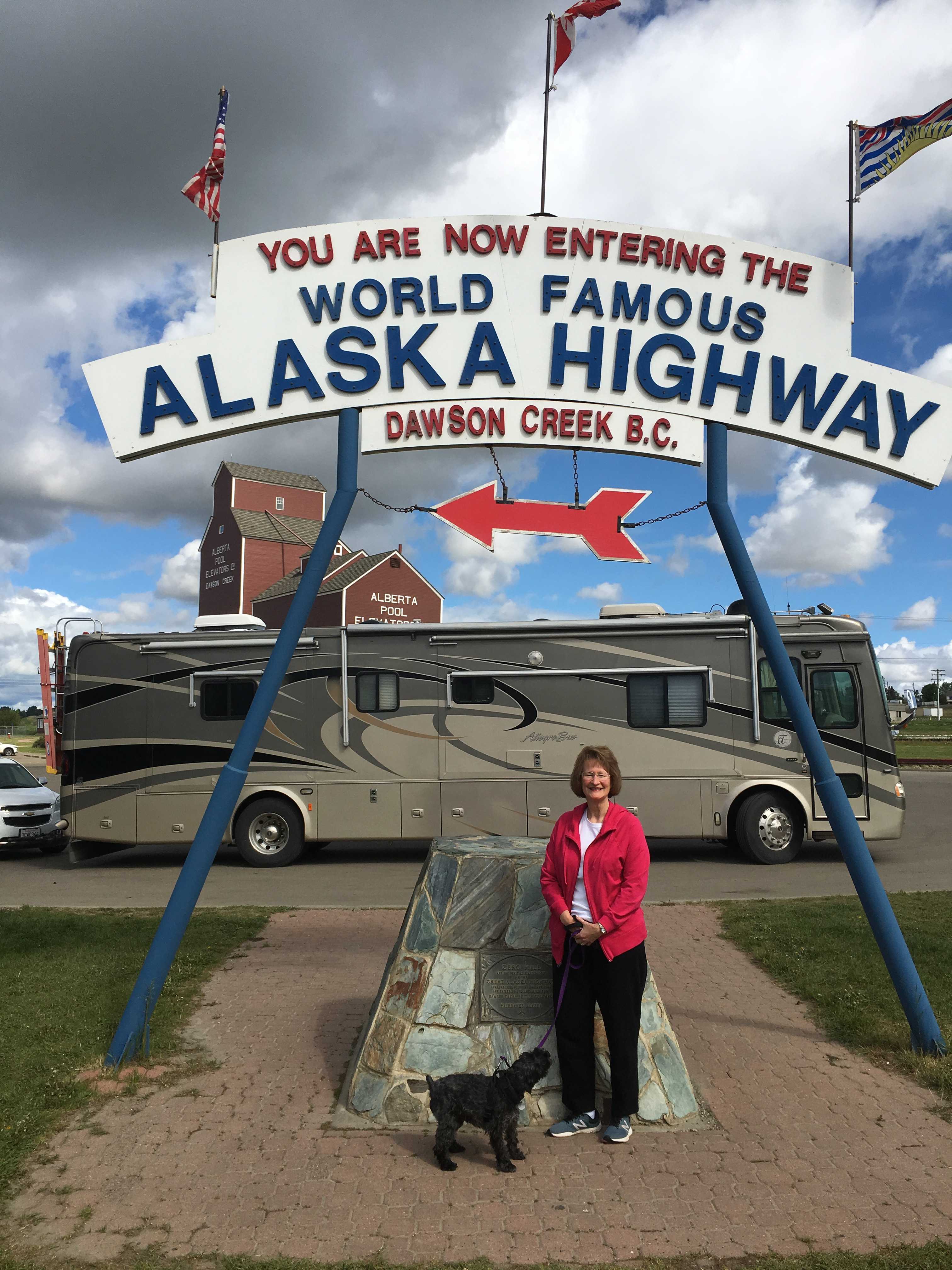
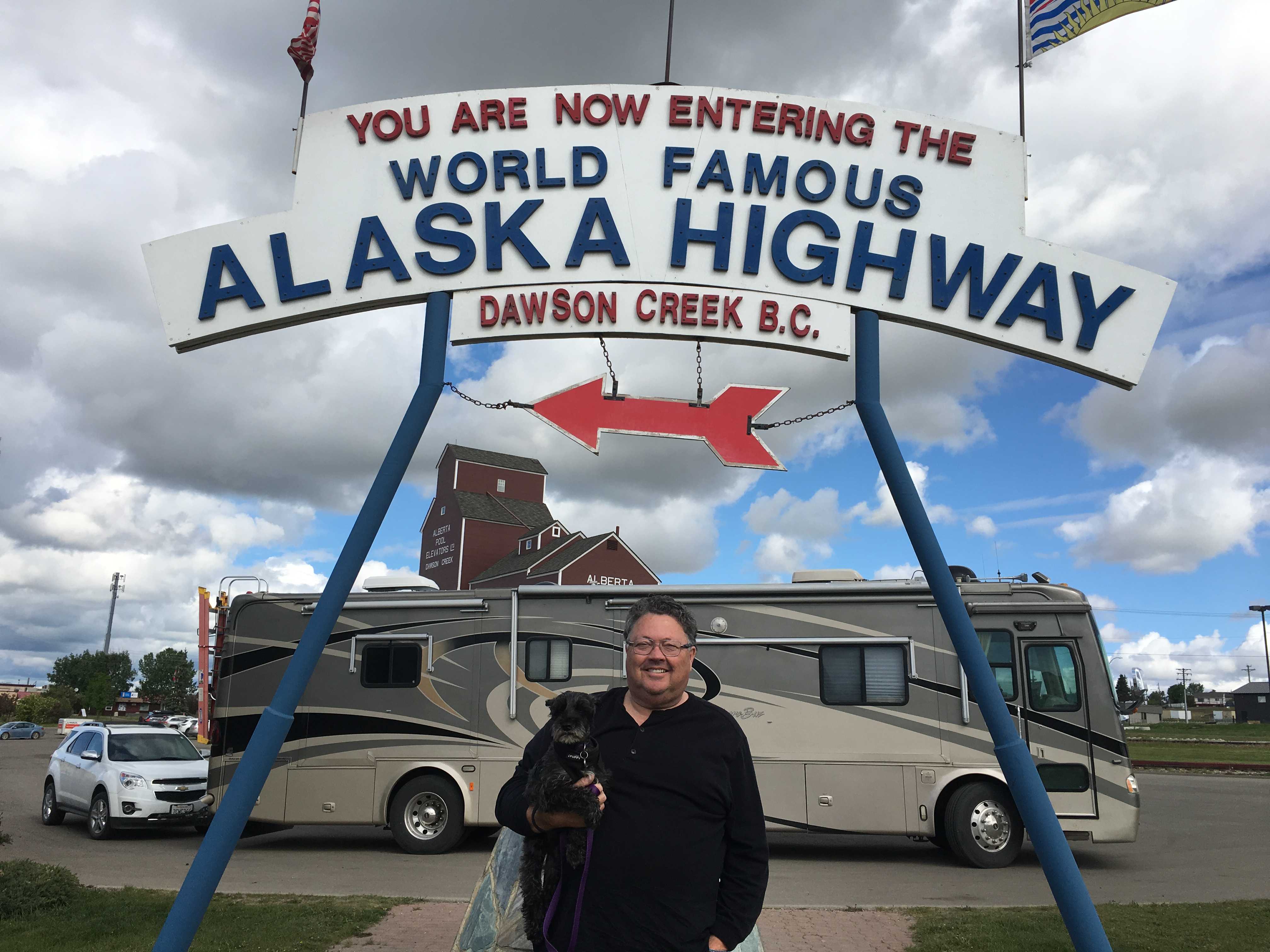
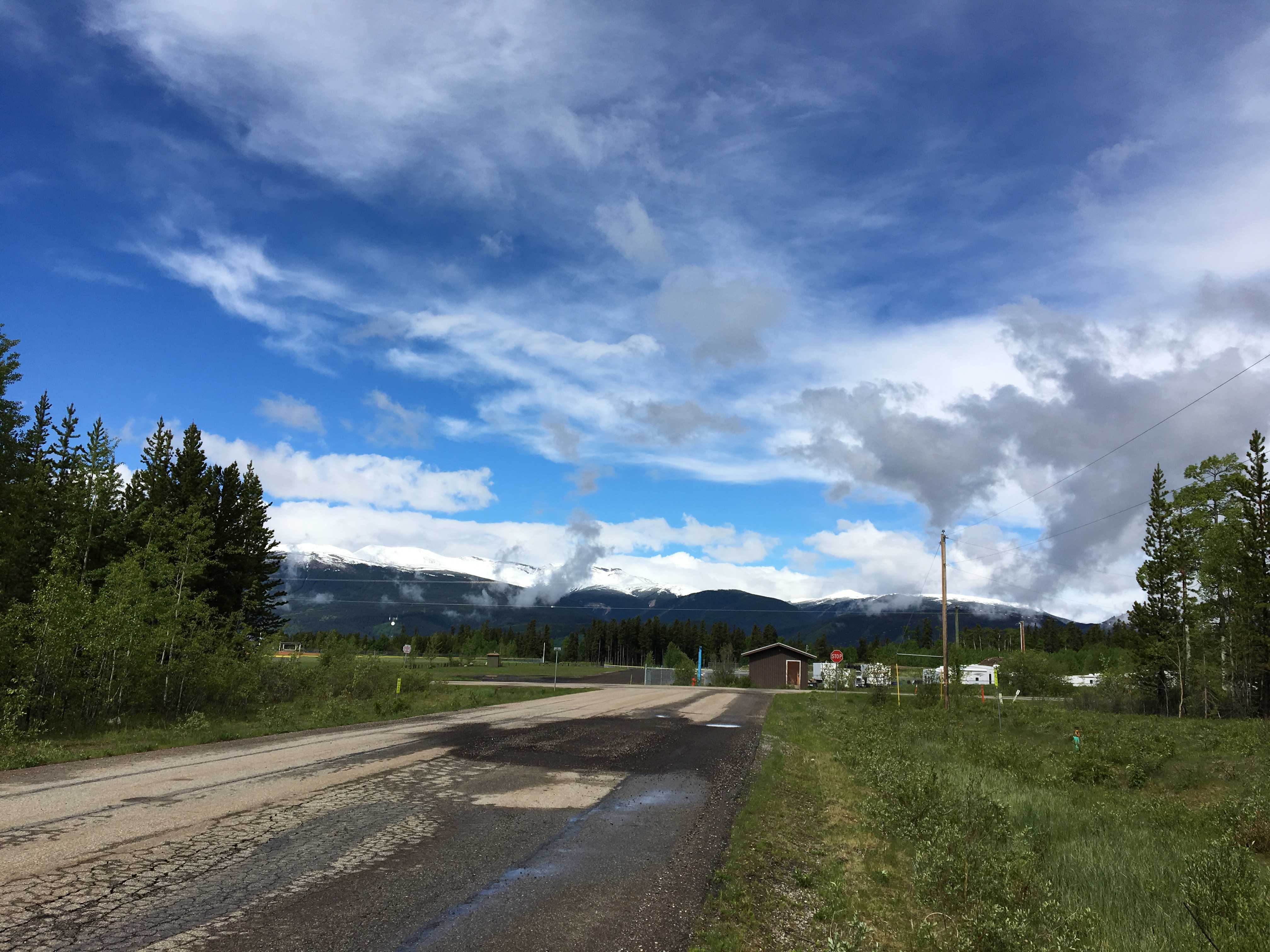
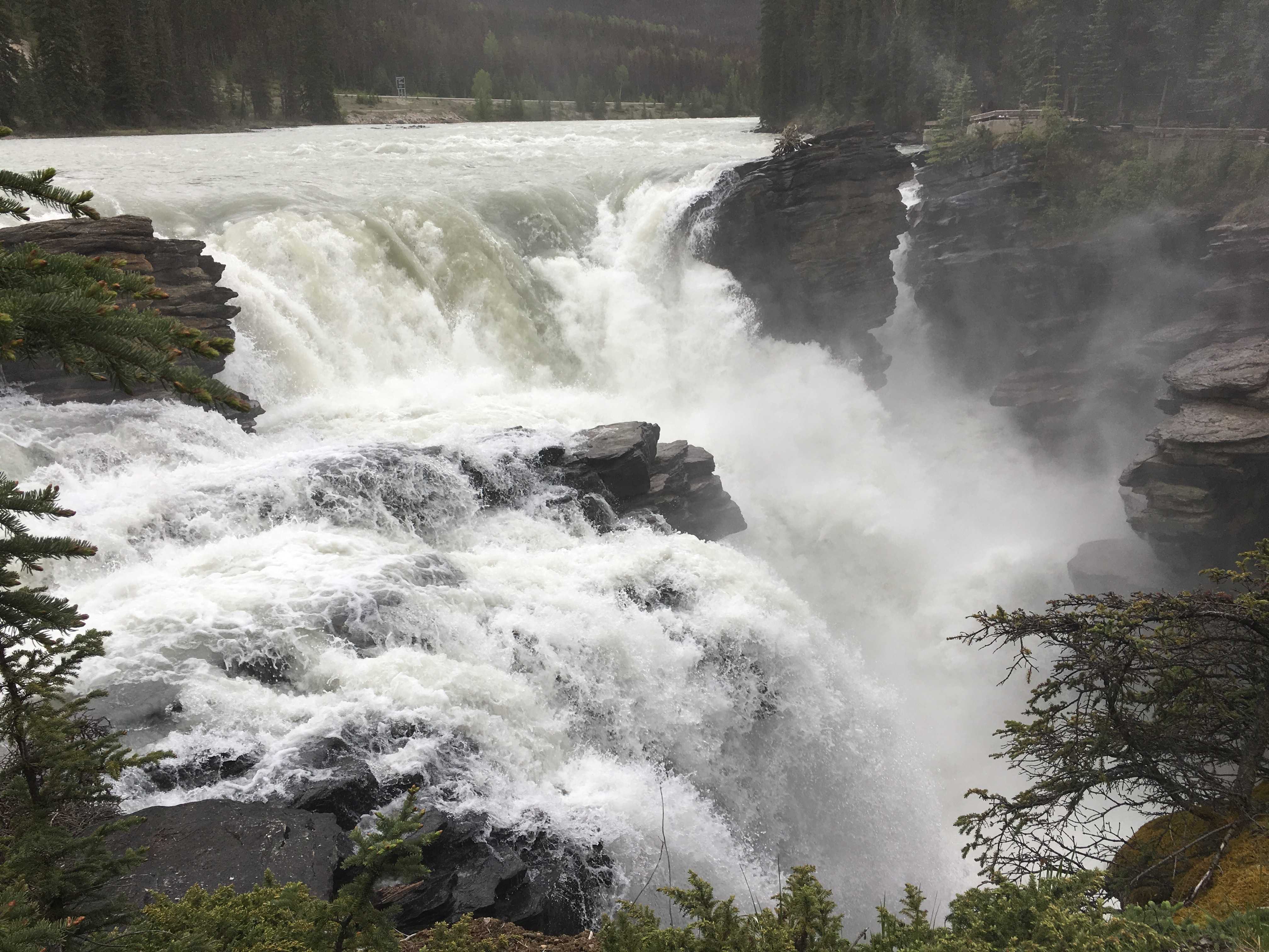
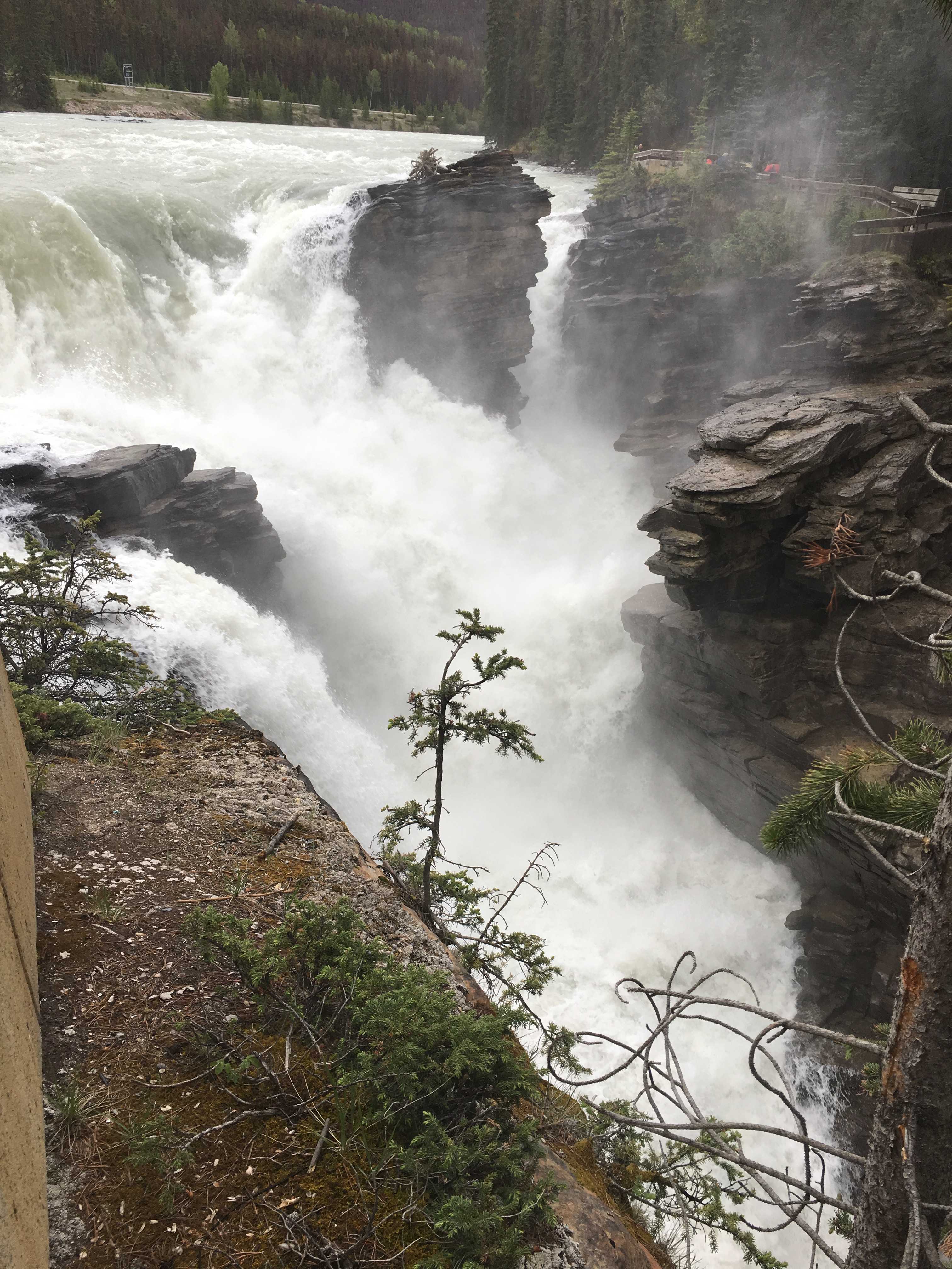
After I installed the rock screen and left Teslin Lake for Whitehorse, we didn’t encounter any more gravel on the roadway. And just past the highway 8 turnoff, the roadway changed to a very smooth asphalt, something we hadn’t experienced since the Ice Fields Parkway. That was an incredibly smooth roadway.
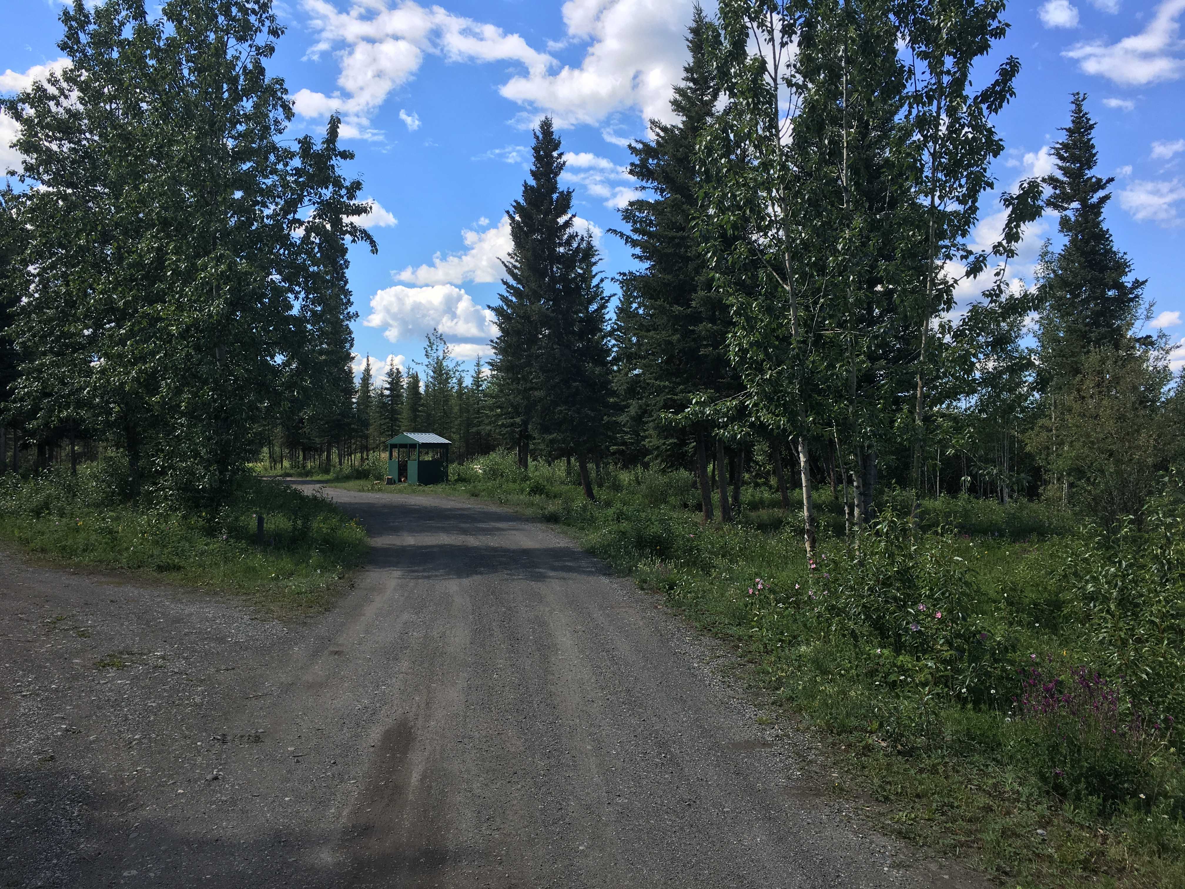
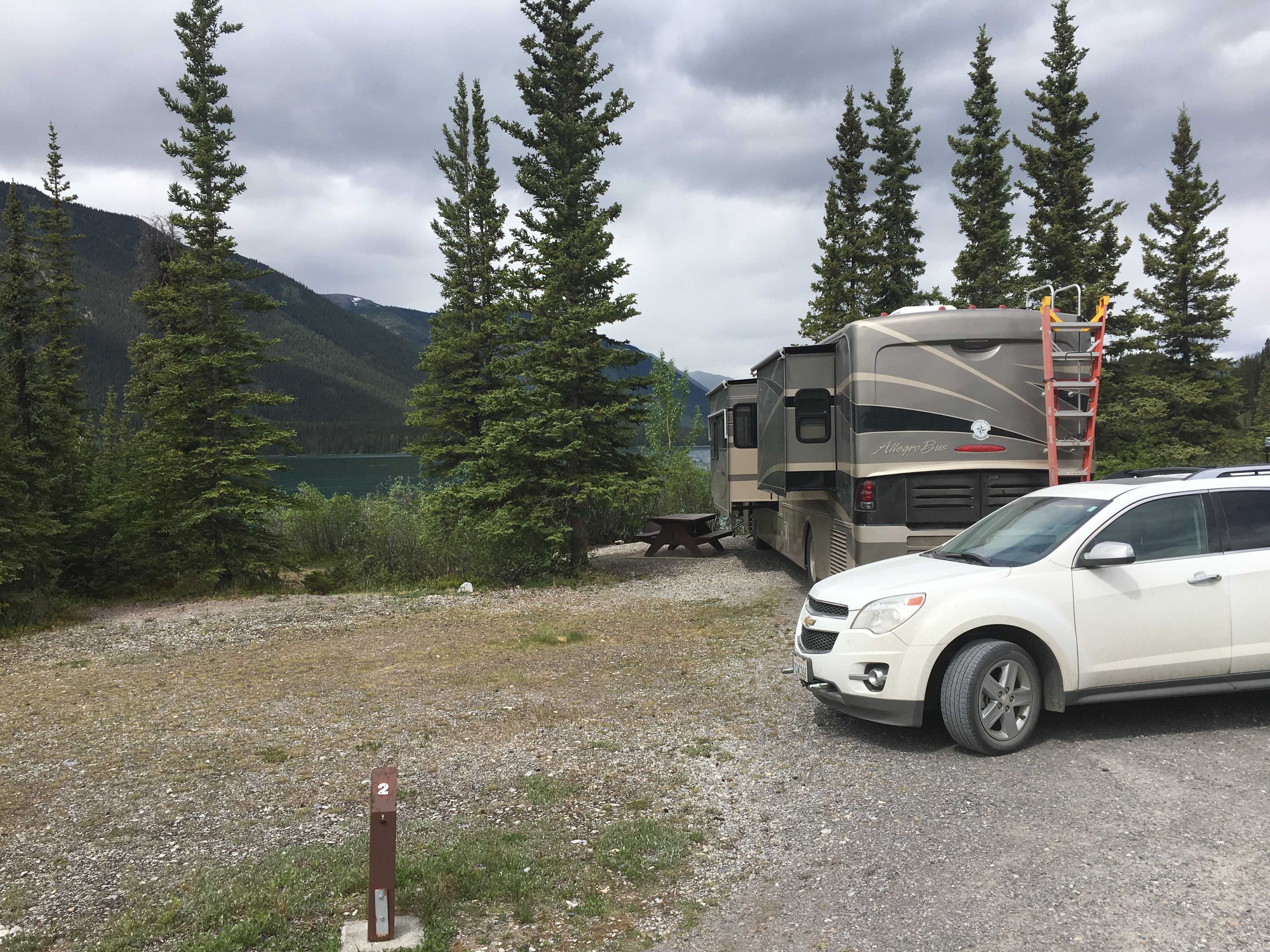
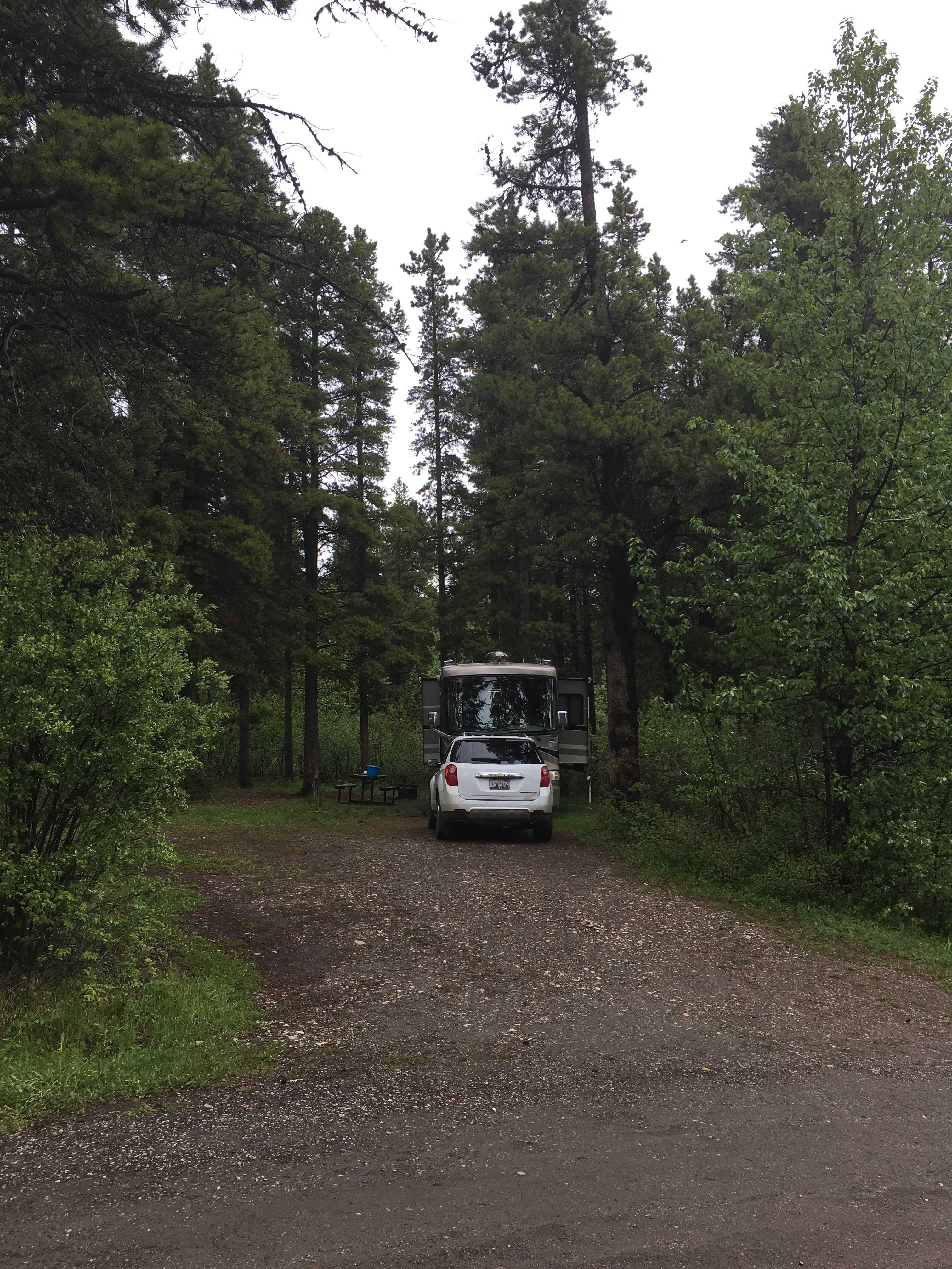
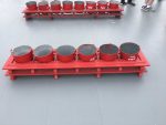
 Once we checked in at the Hi Country Campground and deployed the coach, I had to unhook the car which required me detaching the rock screen. With
 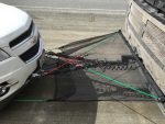 that done, I crawled under the car to figure out what I could do to make that an easier process. I found a couple of holes that I could mount four inch- long eye bolts to hook the bungee cords to the front of the car to keep tension on the screen while we drove.
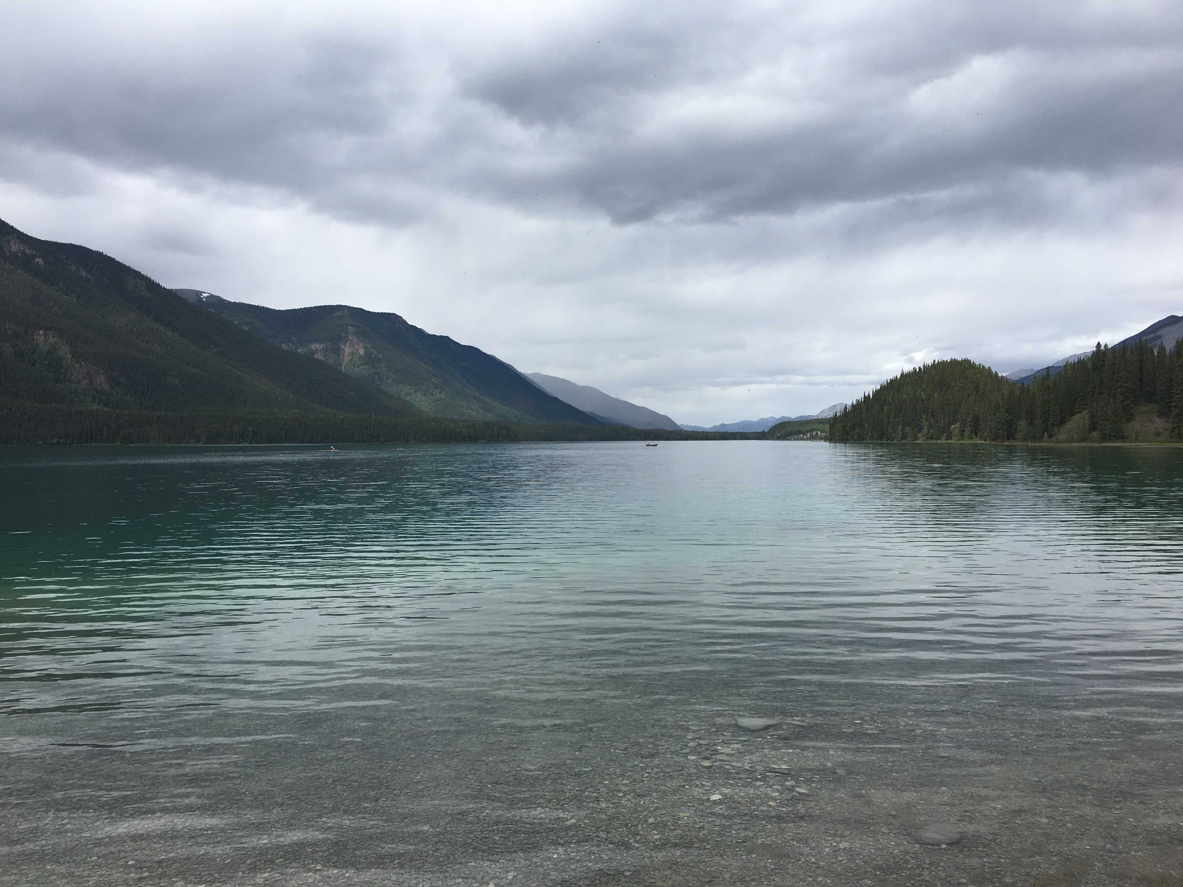
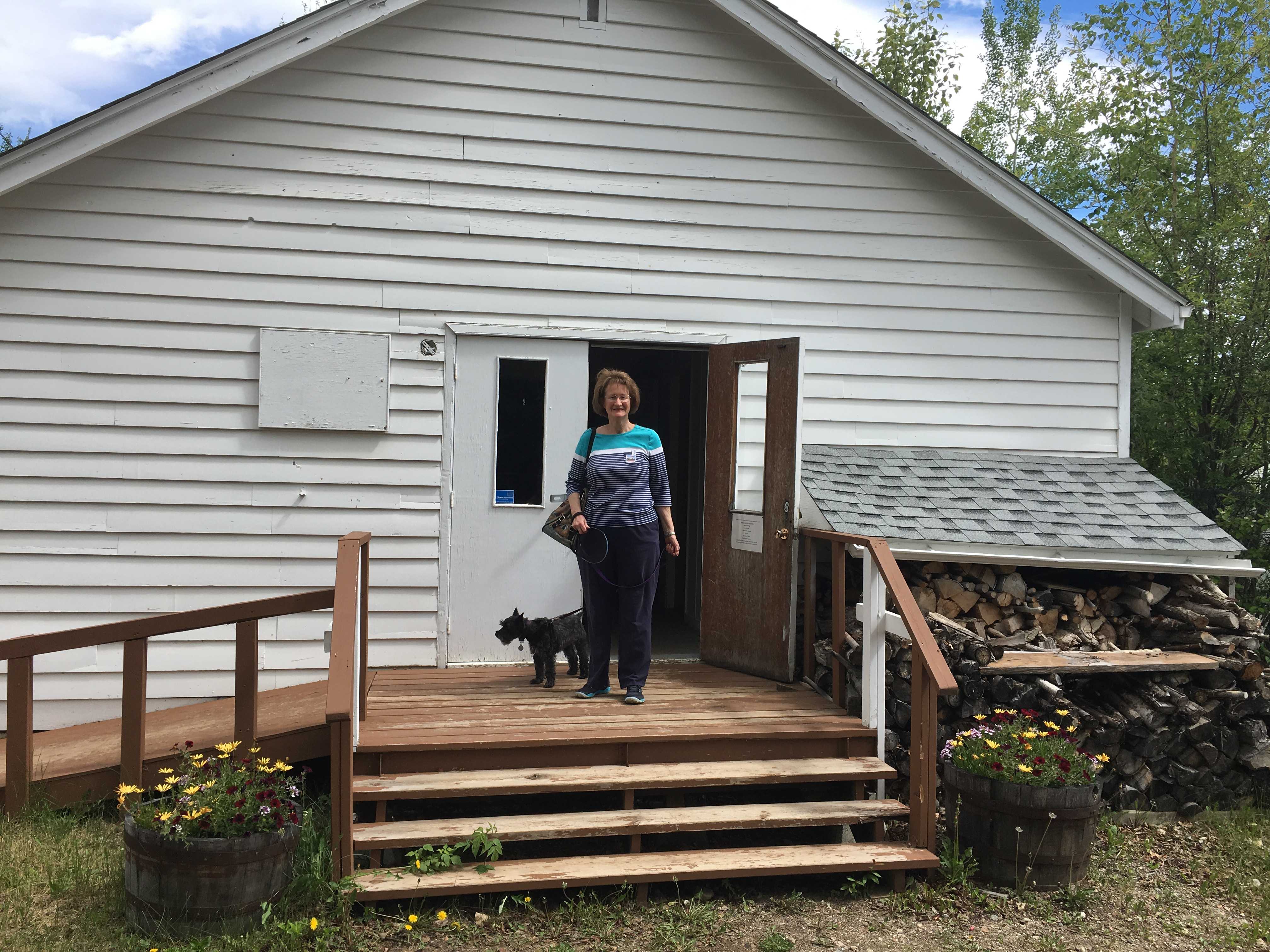
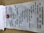
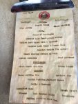
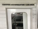
We happened to get a site at Hi Country practically next to Larry and Sue that we had met in Teslin Lake. They had mentioned one of their favorite places to eat in Whitehorse while we were in Teslin Lake, so Kathy and I planned on having dinner there the night we arrived in Whitehorse. To our surprise, they were also going that night, so we went together. There was quite a line for  Sunday evening after 7 pm, so we put in our names for the one-hour or so wait and the hostess mentioned a lounge a block or so down the street. We headed there to be out of the cold. It was a small hotel called the Westmark, went inside and found four seats at the bar to chat while the wait passed. After paying the bill, we walked back to the Yukon Rib and Salmon joint and had a really great dinner. I had the Salmon and Ribs house special and it was delicious. Afterward we went back to their coach to continue the conversation and libations. Larry showed us how he had modified his kitchen pantry into a wine rack. I had modified mine to carry more soup and taller bottles.. I bet if I liked wine, I would have done something similar to Larry and Sue’s pantry mod. 🙂
I was amazed how similar our coaches’ designs were, lots of incremental changes in the 5 years since ours was built, but it still seemed so similar to my eye. I think the last thing Kathy said that night as we left was she wants a new bus. Apparently it’s time to start playing the lotto in earnest.
(I think he dreamed that last statement!)
Prior to dinner I drove into town to find a hardware store to gather the eye-bolts and required washers and nuts to hold them in place. I also wanted to fill my growler with some Yukon Brewing ale. If found the parts I needed, and as I pointed the car in the direction of the brewery, I realized I left my growler on the front seat of the RV. Bummer. Next time…. I got back and installed the eye bolts and now my rock screen is done!
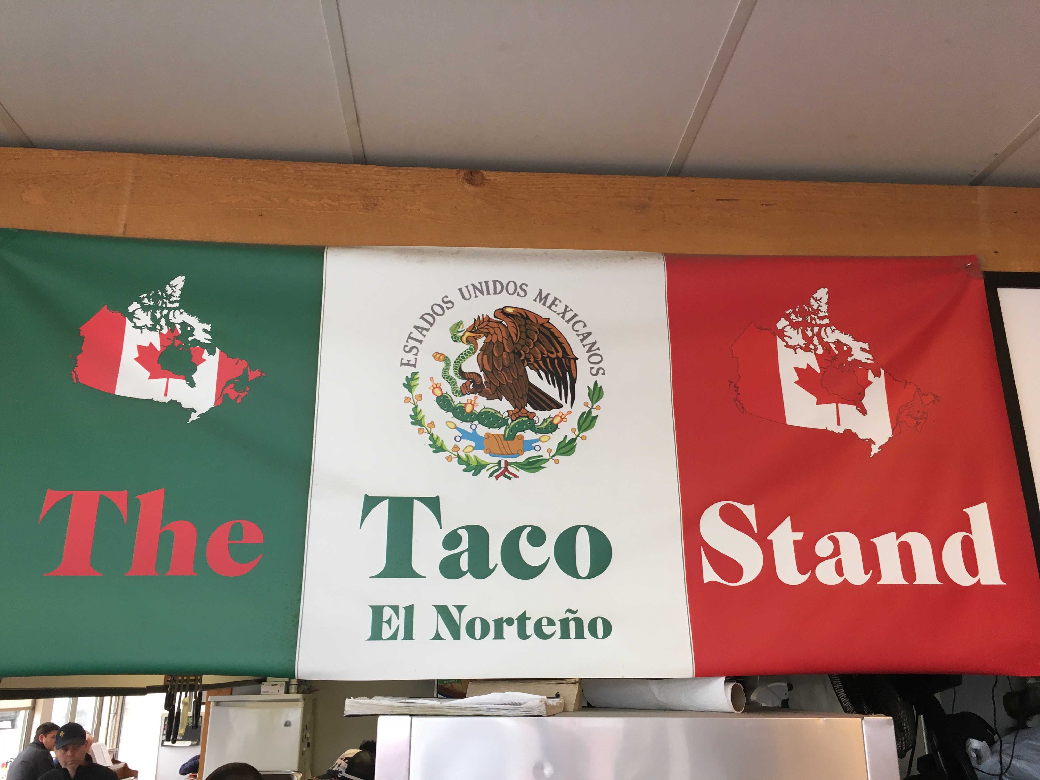
The next day I had the growler in the car and stopped at the Yukon Brewery only to find out they didn’t have their signature brew on tap. So I had to chose something similar, but in the end wasn’t anywhere near as good. On the way back, I stopped at the only open Mexican takeout joint in town. The Tacos and Burritos were very good. Hard to imagine here, thousands of miles from Mexico, someone can reproduce such good Mexican food.
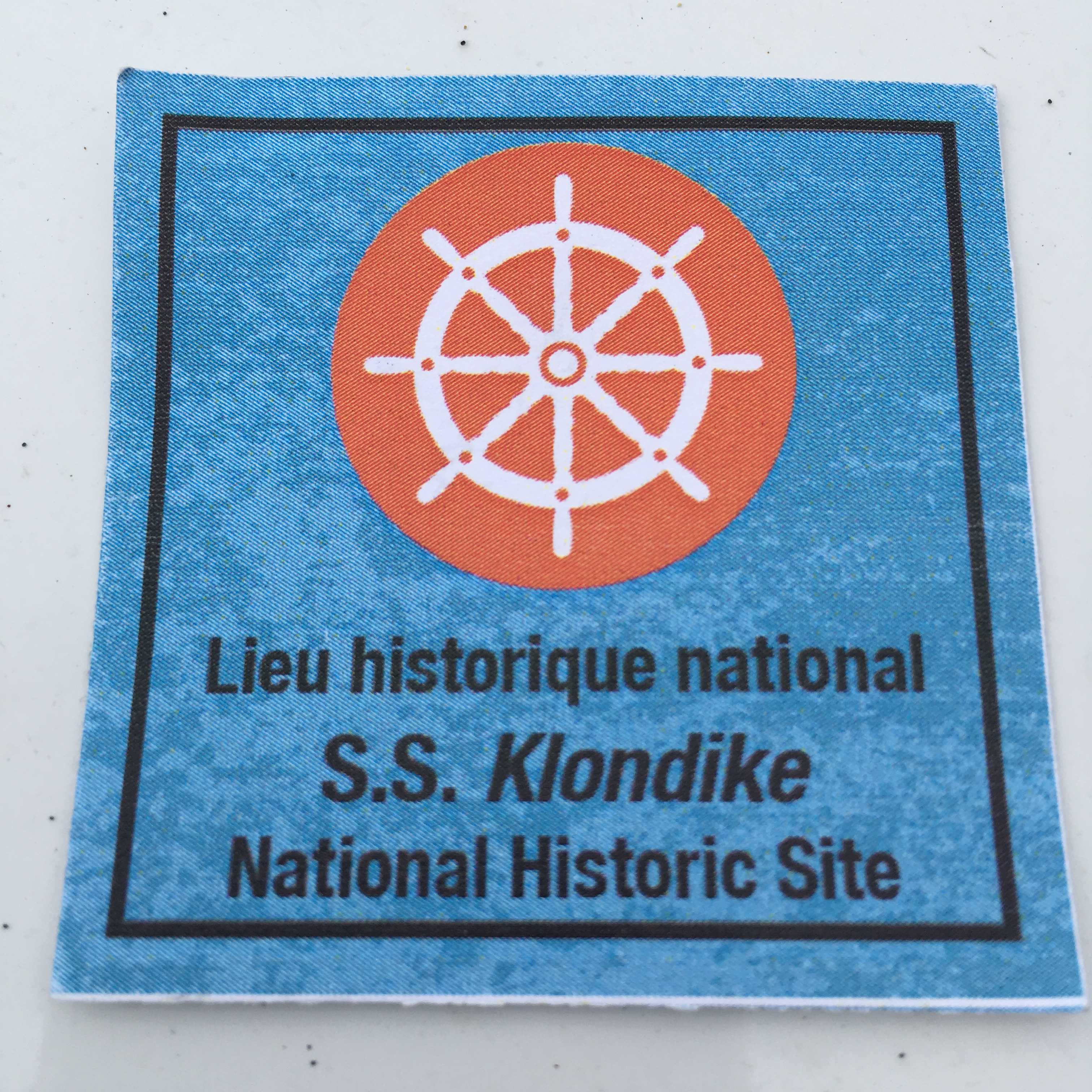
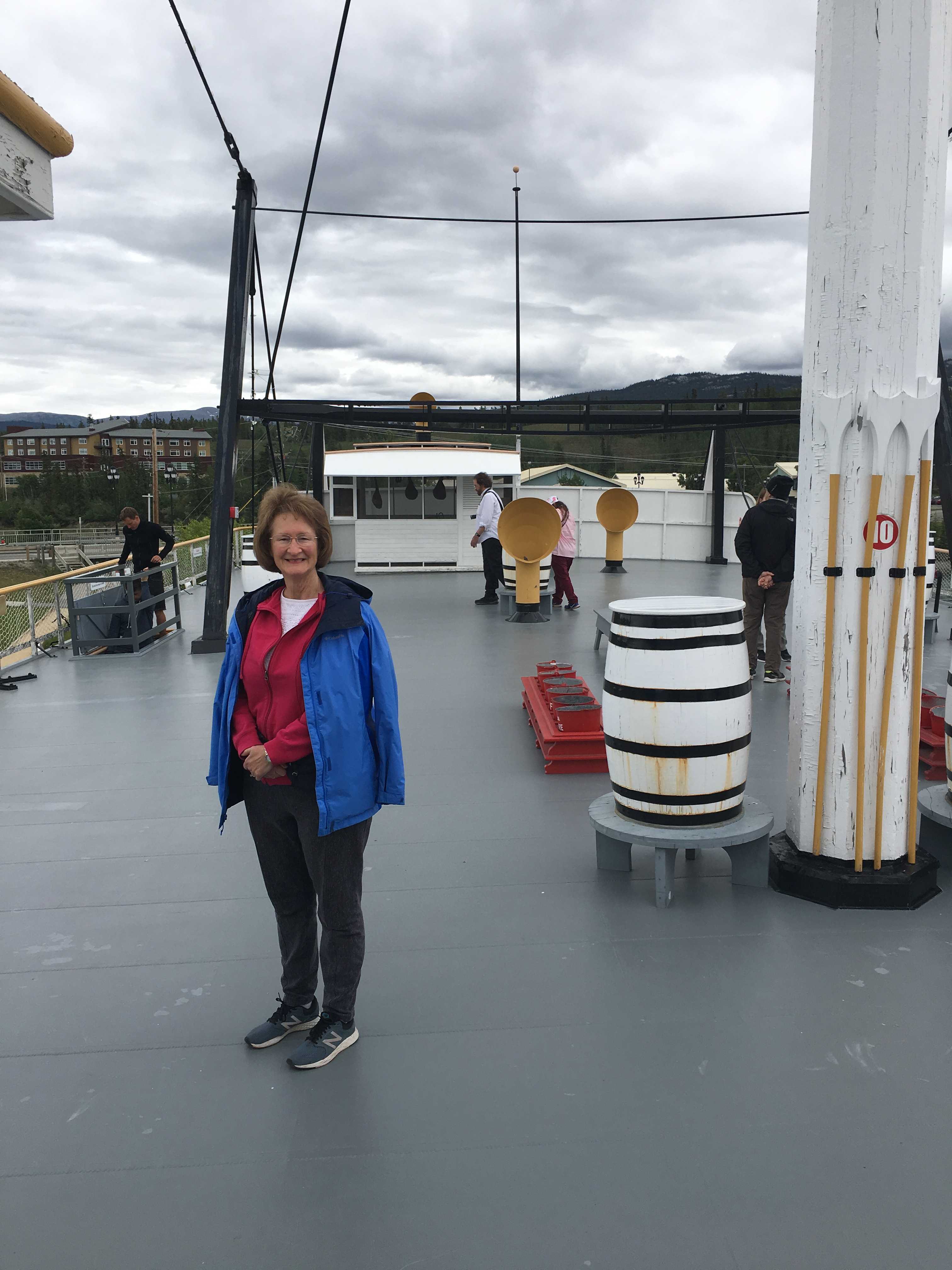
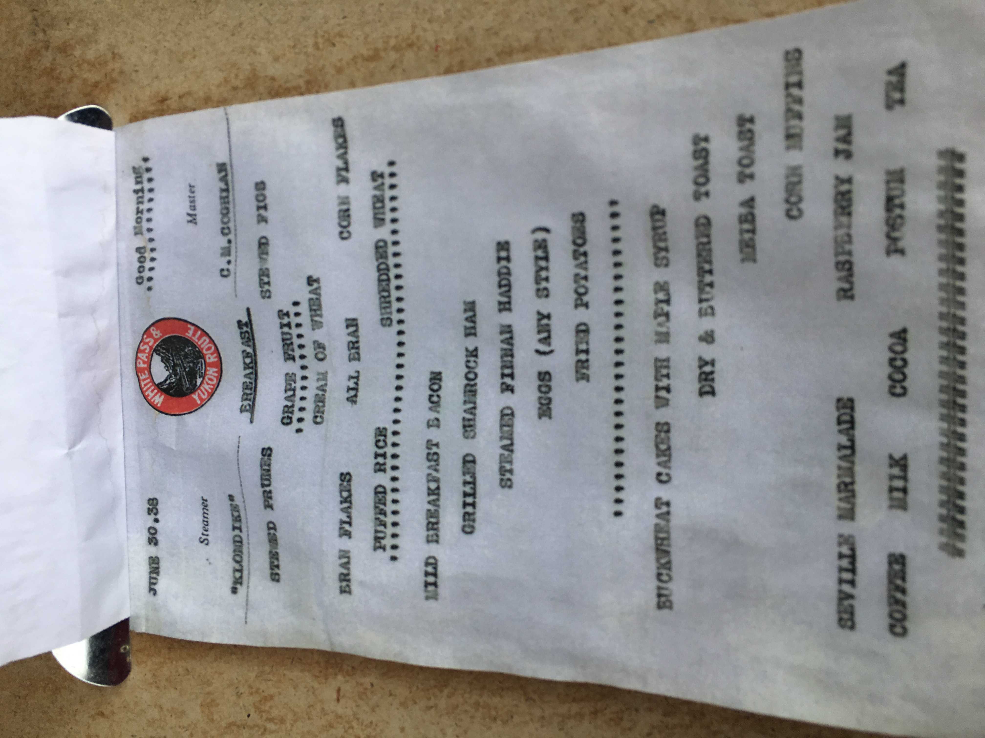
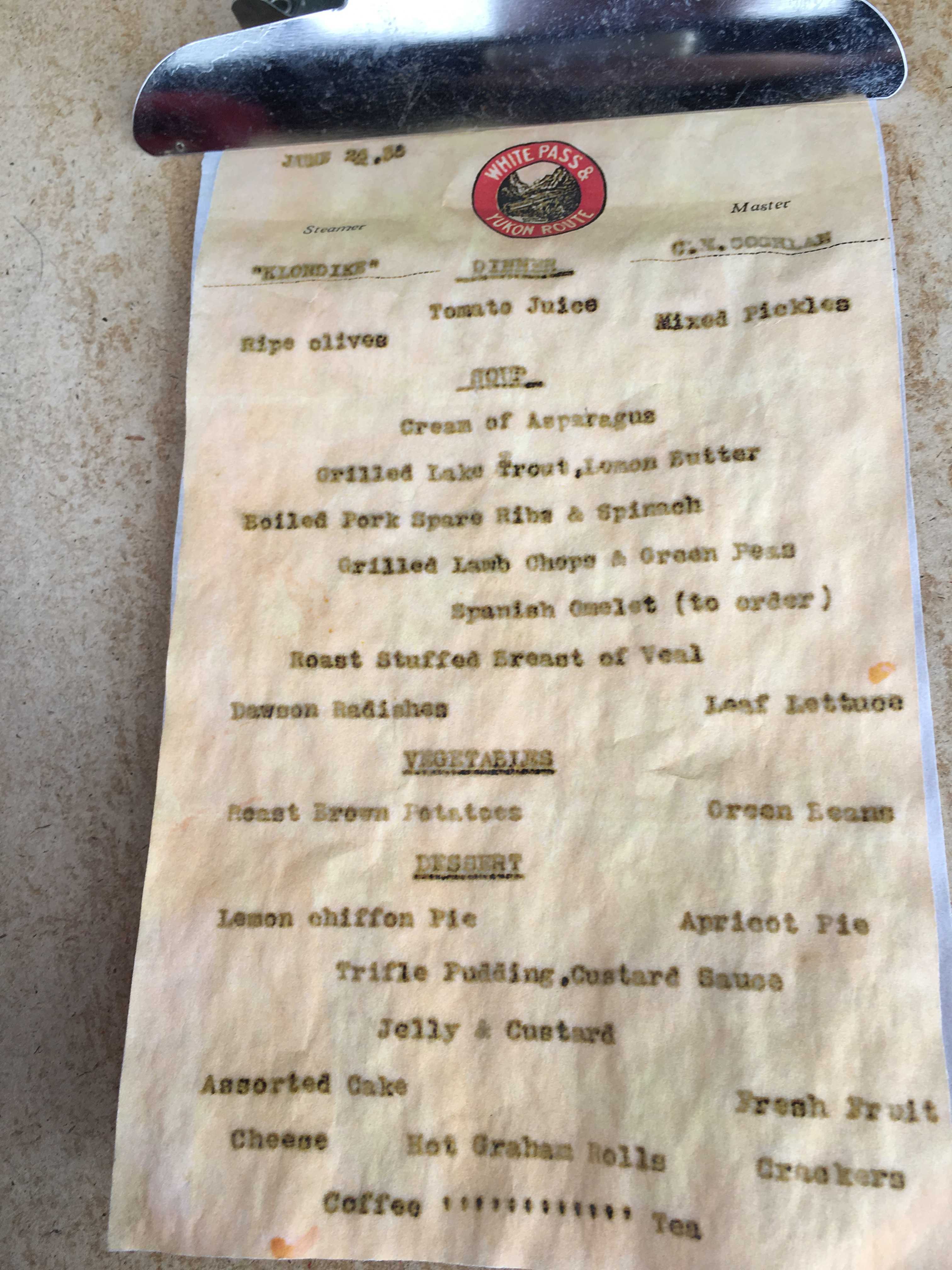
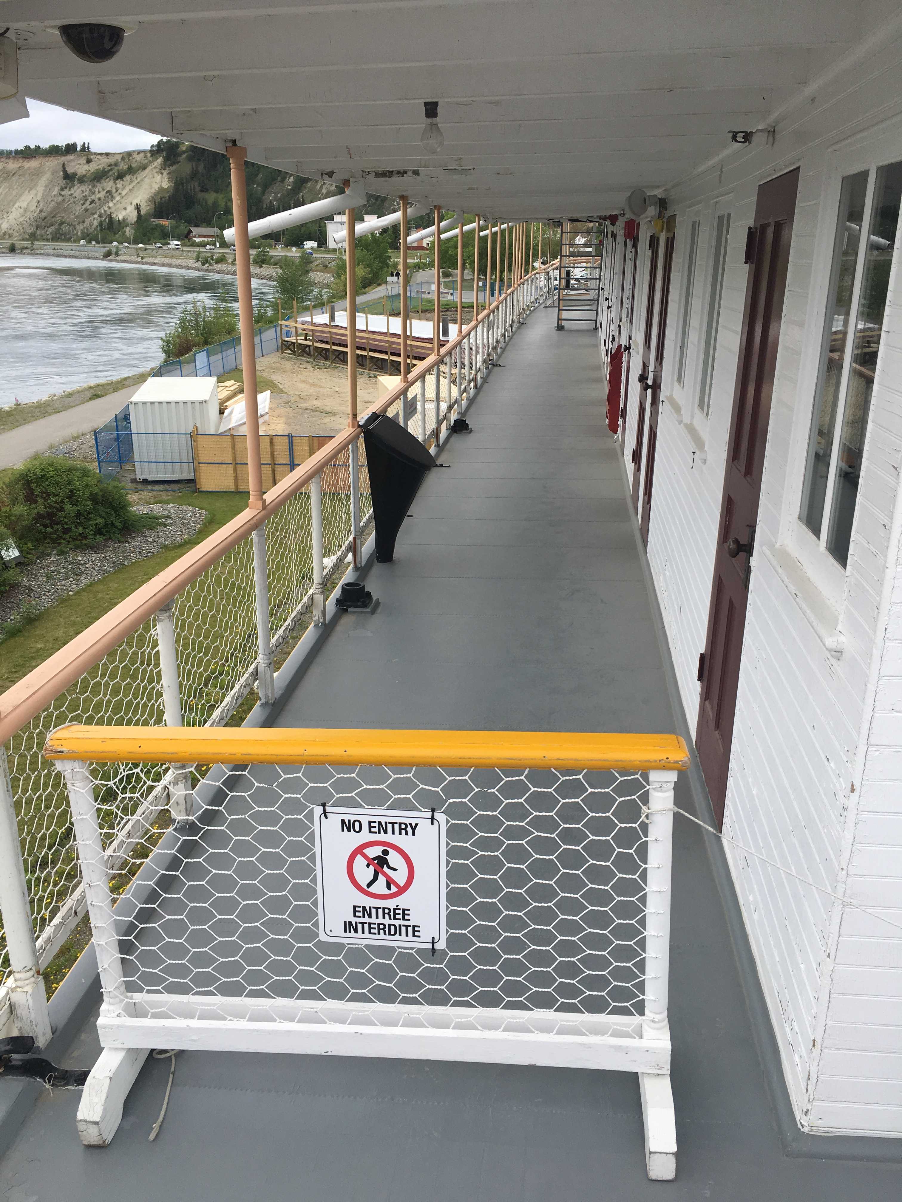
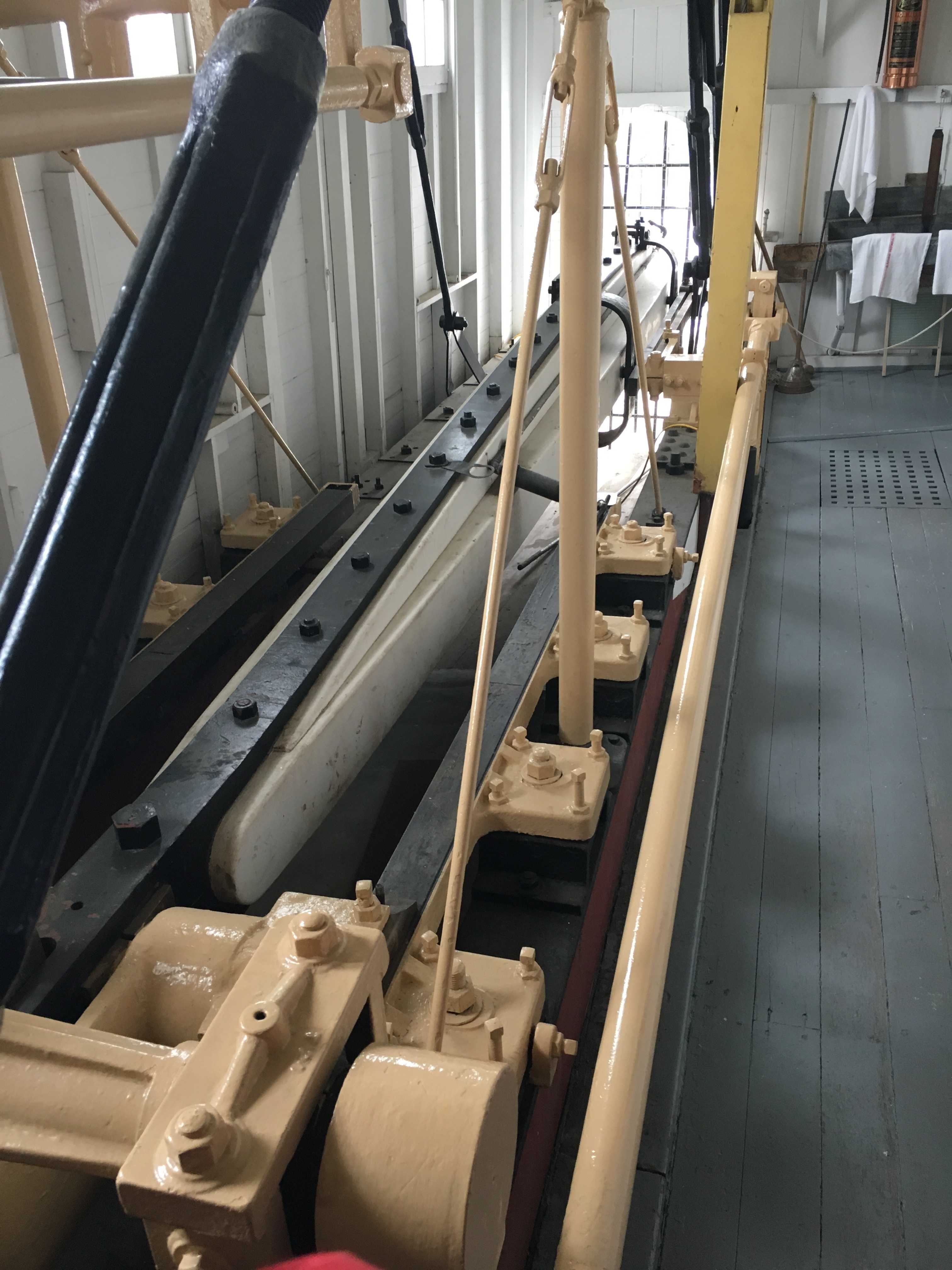
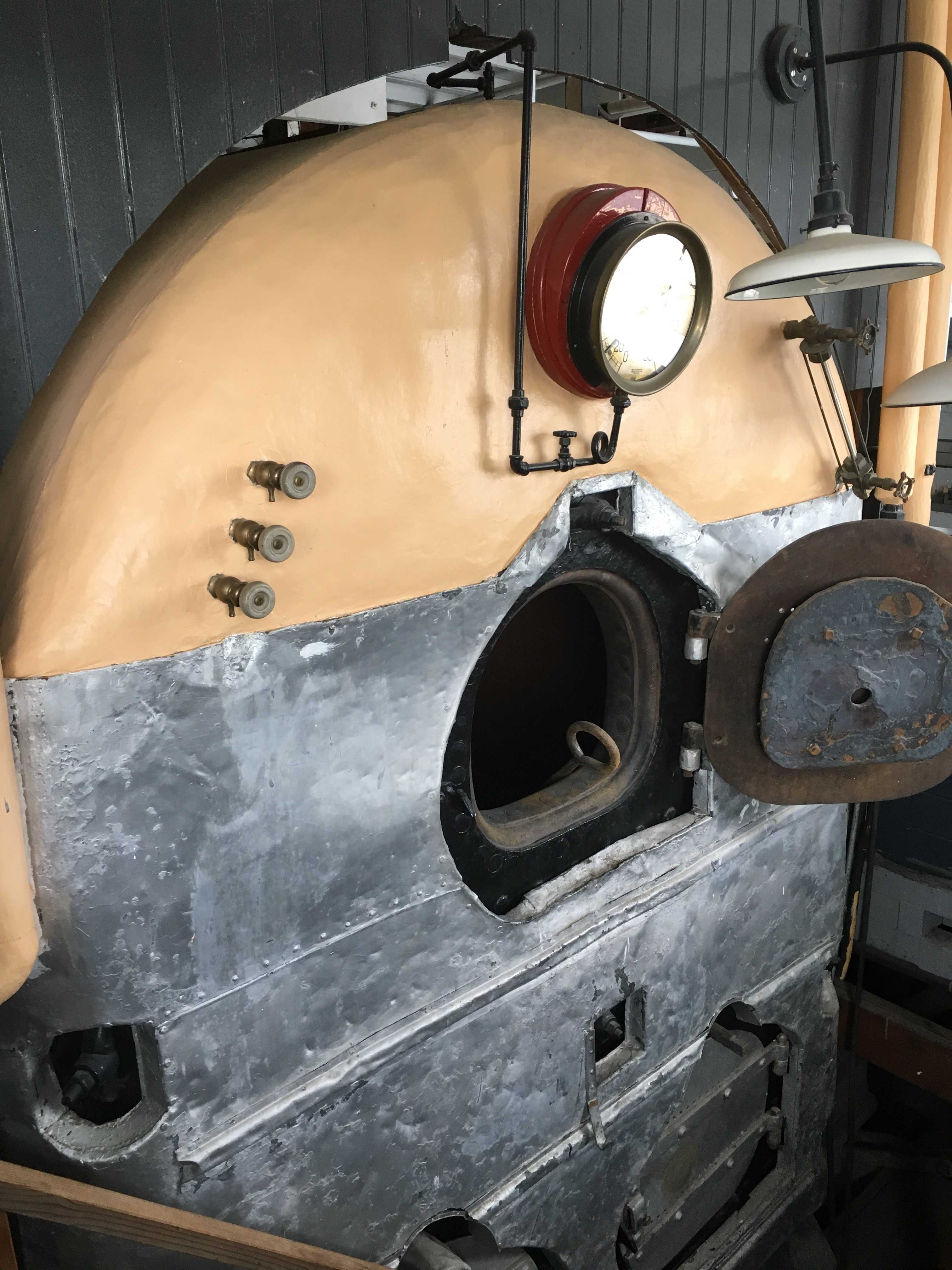
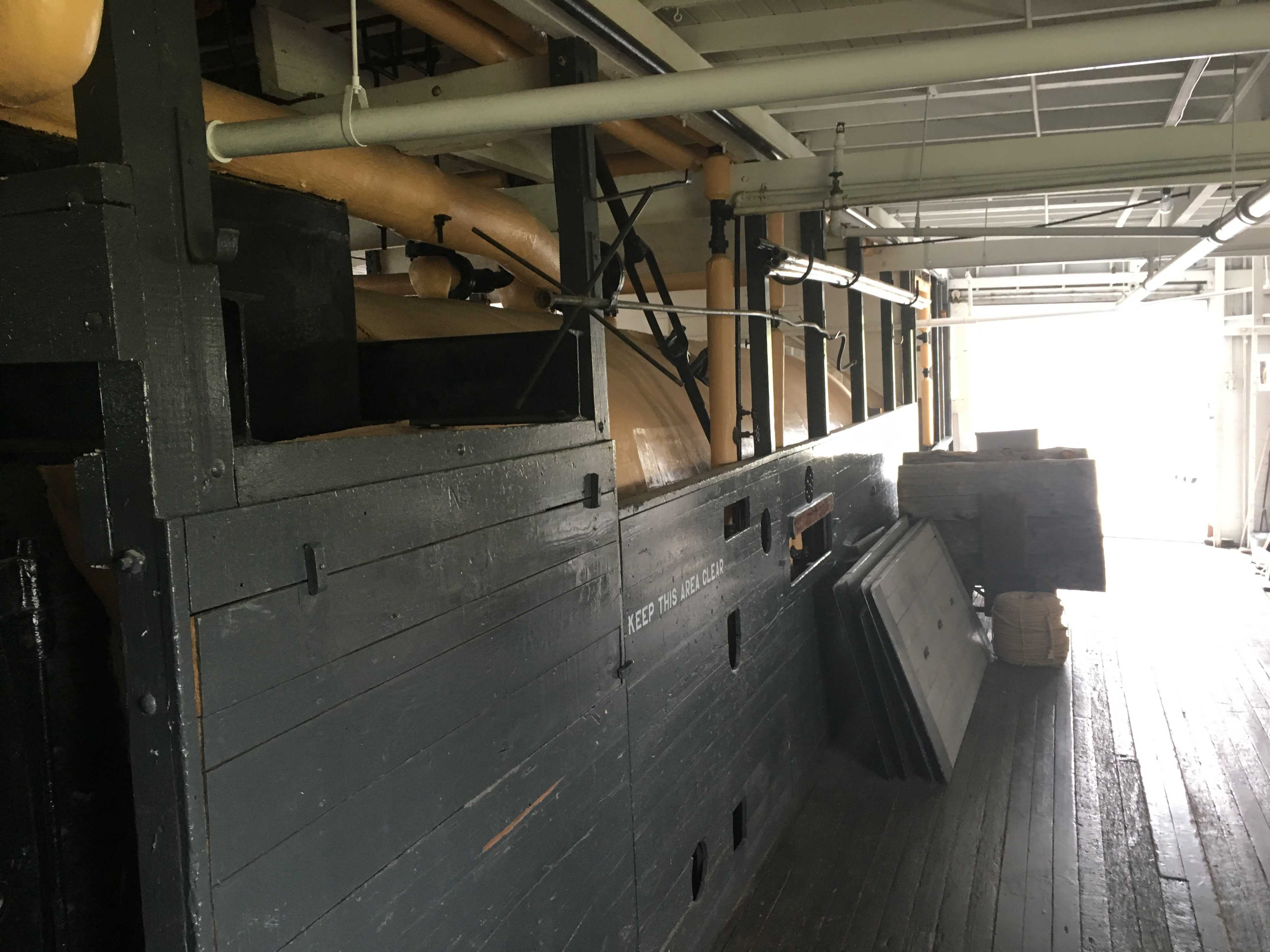
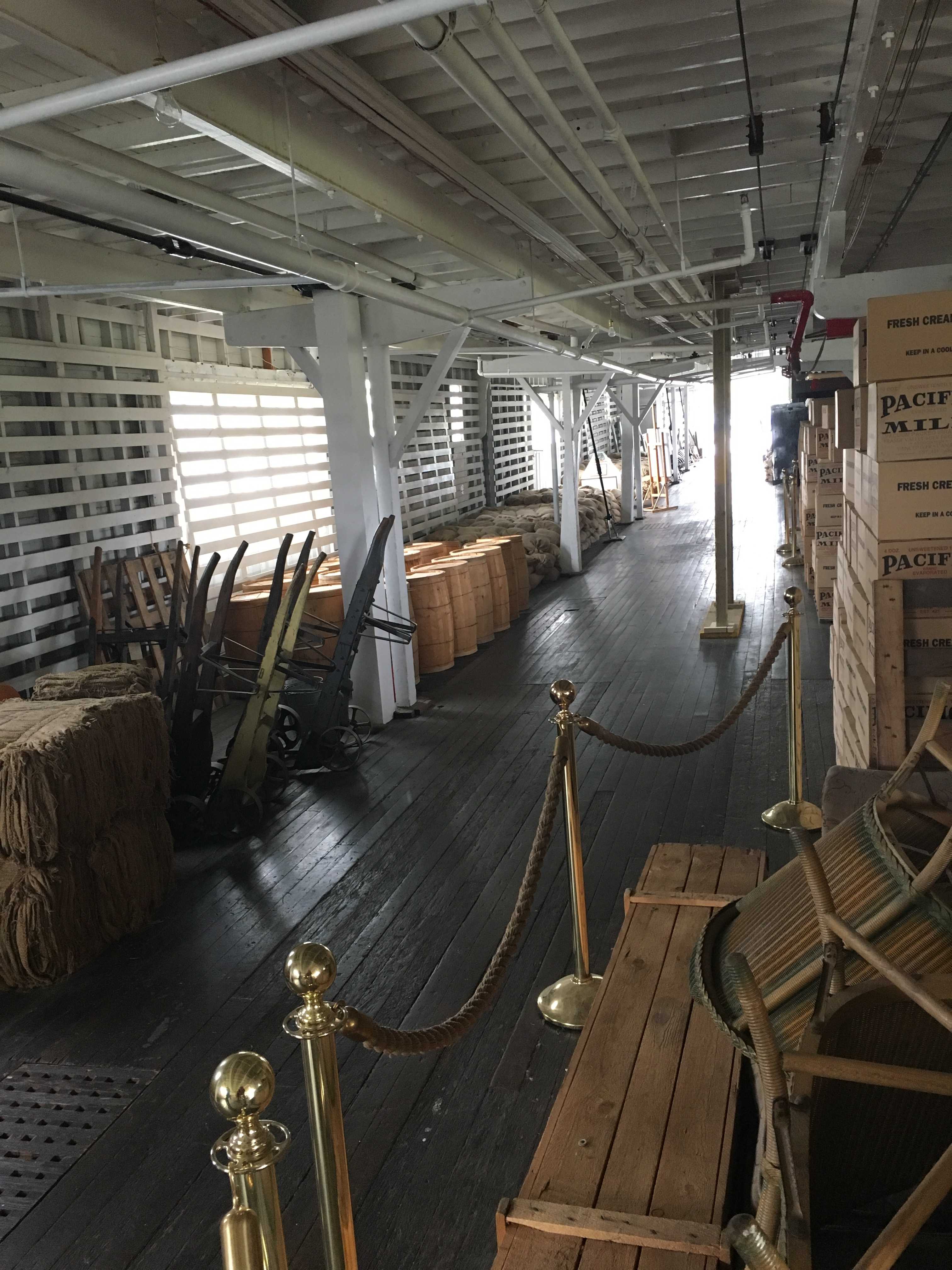
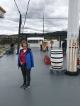
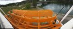
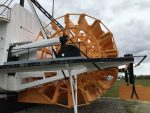
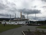
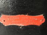
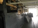
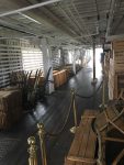
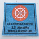 The following day we played full-on tourist. We visited the the Yukon Paddle Wheeler. They explained that the predecessor to the one we toured was put in service in 1929 and ran into a rock and sank in 1936. They had salvaged all but the hull from the previous sunken ship to create the new paddle wheeler in less than a year. No small feat I would imagine. Without it running the river, the town was probably dead in the water for any supplies so they had to get it done quickly.
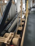
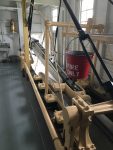
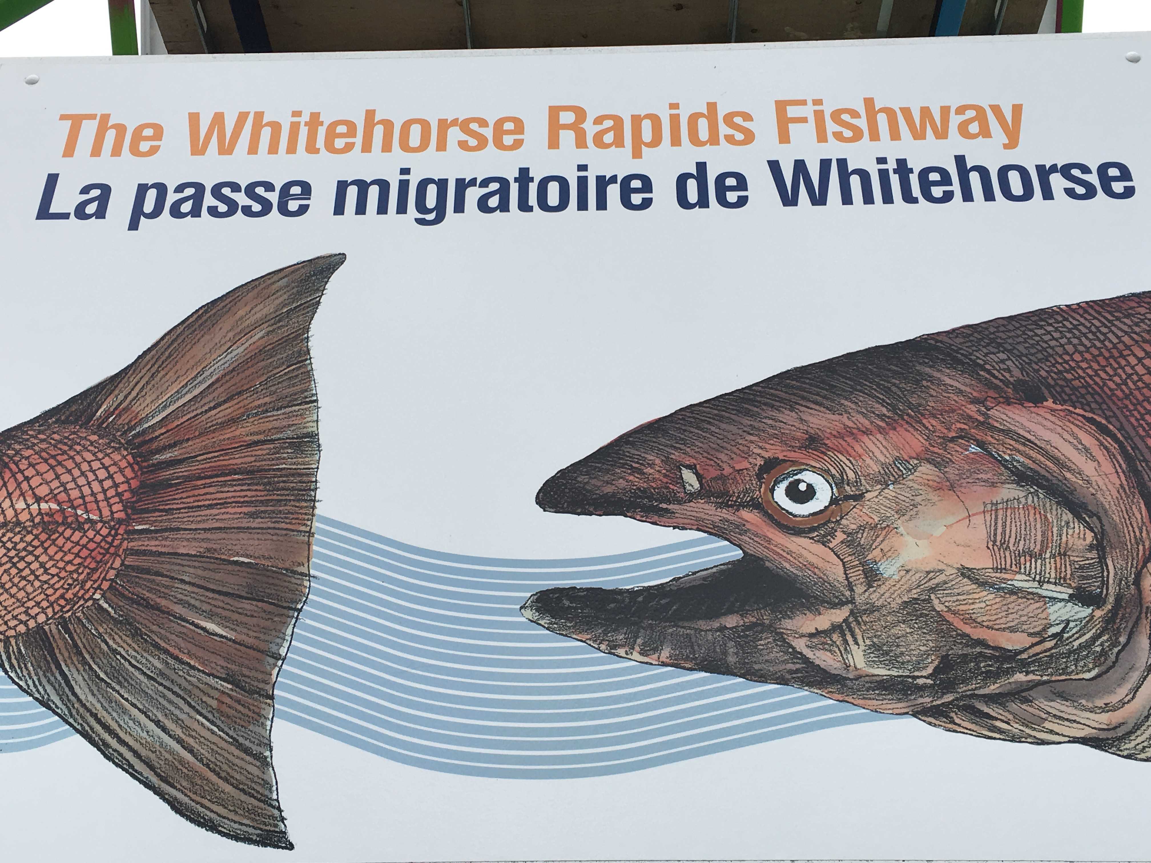
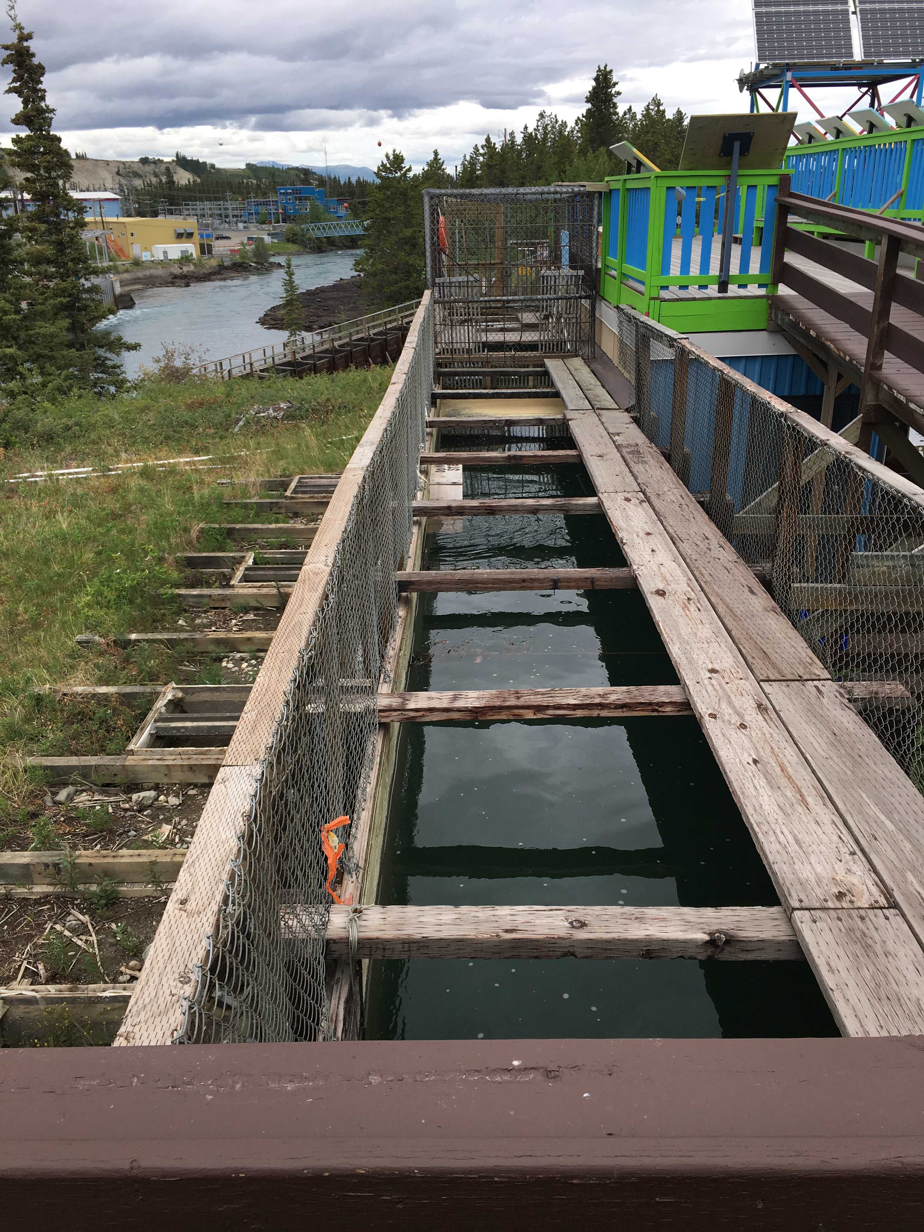
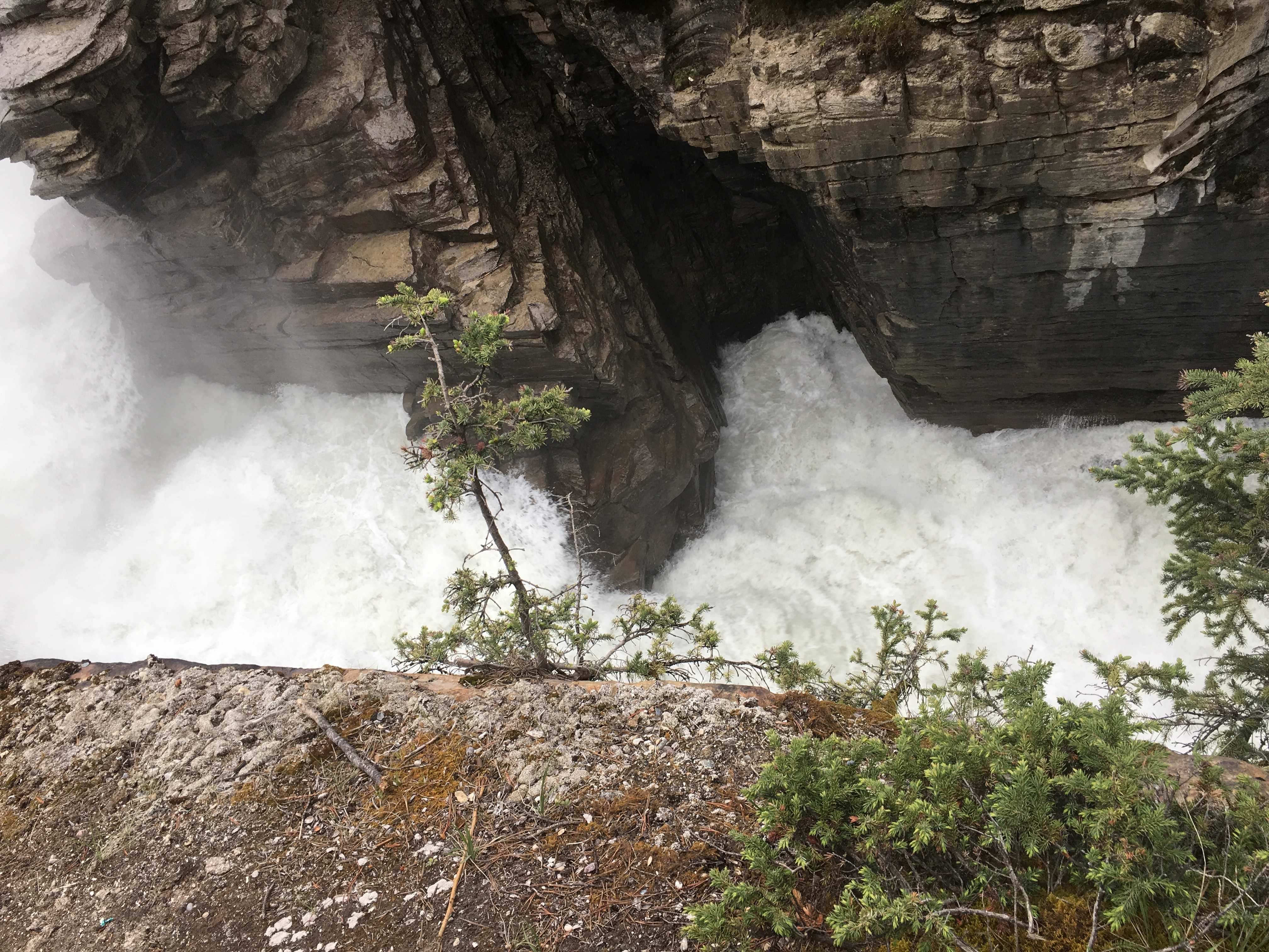
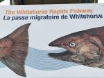 After we finished touring the ship, we headed over to the fish ladder. The longest one in the world we were told. It was pretty long, mostly made out of wood
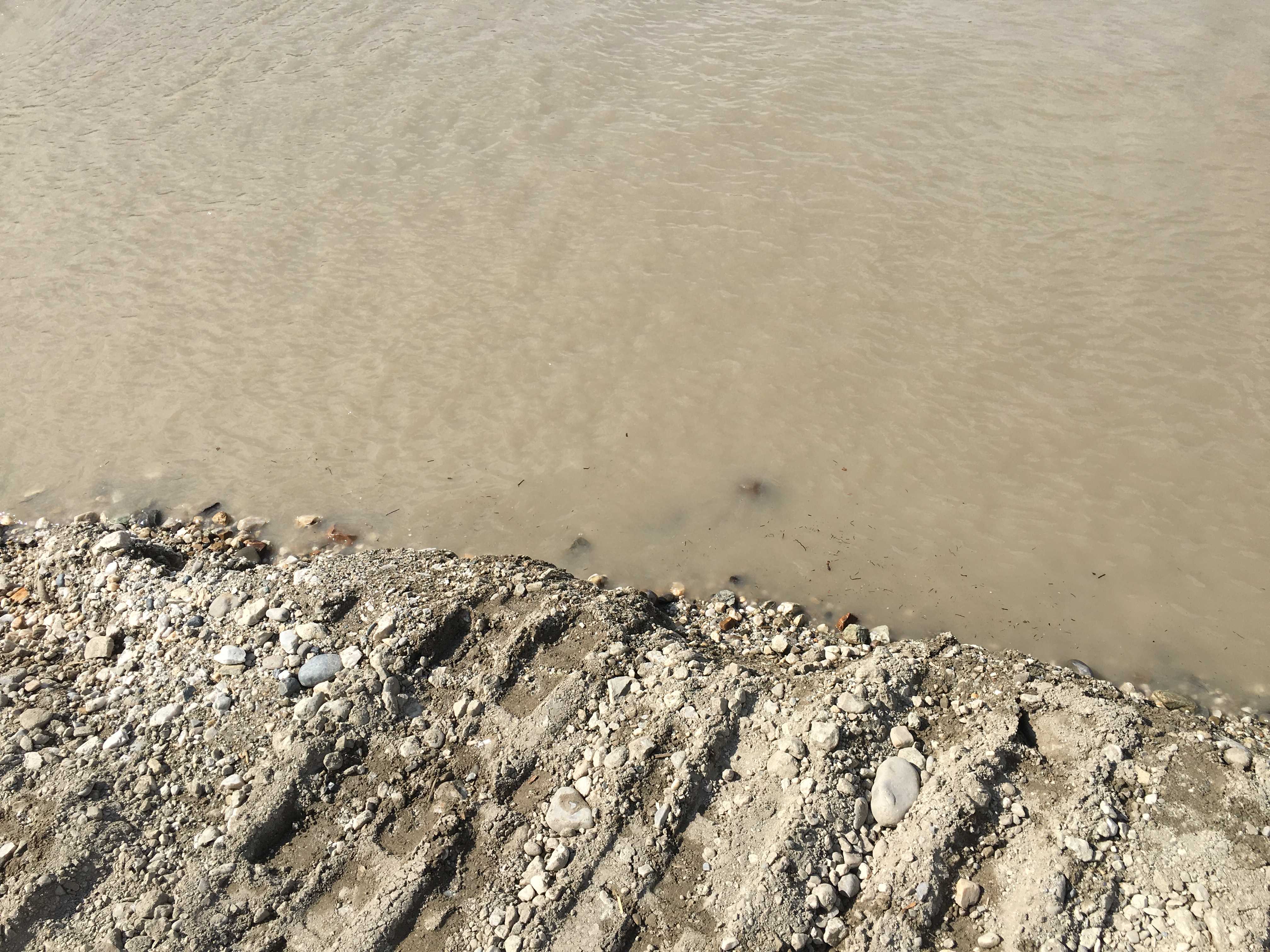
 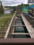 planks. And it was leaking pretty good from the bottom just past the small building that housed the windows you can watch the fish thru. But we never saw any fish as the salmon wouldn’t be up to that part of the river for another month or so. Currently they were just entering the mouth of the Yukon River some 2,500 miles away in the Bering Sea.
After that we went to lunch at the only other Mexican place, Sanchez Cantina. The meal was really good. If you ever get to Whitehorse YT and you like Mexican food, I highly recommend the Cantina. That evening we joined Larry and Sue for another meal at the Klondike Rib and Salmon restaurant. This time I had the Halibut Fish and Chips. Wow is all I can say about that. Best fish and chips I have ever had. The halibut was exceptional!
The next day Larry and Sue were heading west toward Destruction Bay and the following morning we were heading north toward Dawson City and after that the Top O the World highway. Lucky for us they shared their great itinerary written out in a spread sheet and I was able to use their choices for campgrounds to flesh out my itinerary as the cities were listed on mine, but I had not researched the actual best campgrounds in those cities yet. I was doing it as needed. Larry saved me a lot of time fleshing out what are probably the better choices in each of the cities as they had been to most of them already. They planned their whole trip in advance of leaving. It probably makes it a lot easier to do that when it’s not your first time there, but at least now I know where I want to stay. And if we are lucky, we will be able to get sites at those same campgrounds. It looks like we will be a couple weeks behind them most of the time, so it looks unlikely we will run into them again on this trip, but you never know when traveling 🙂
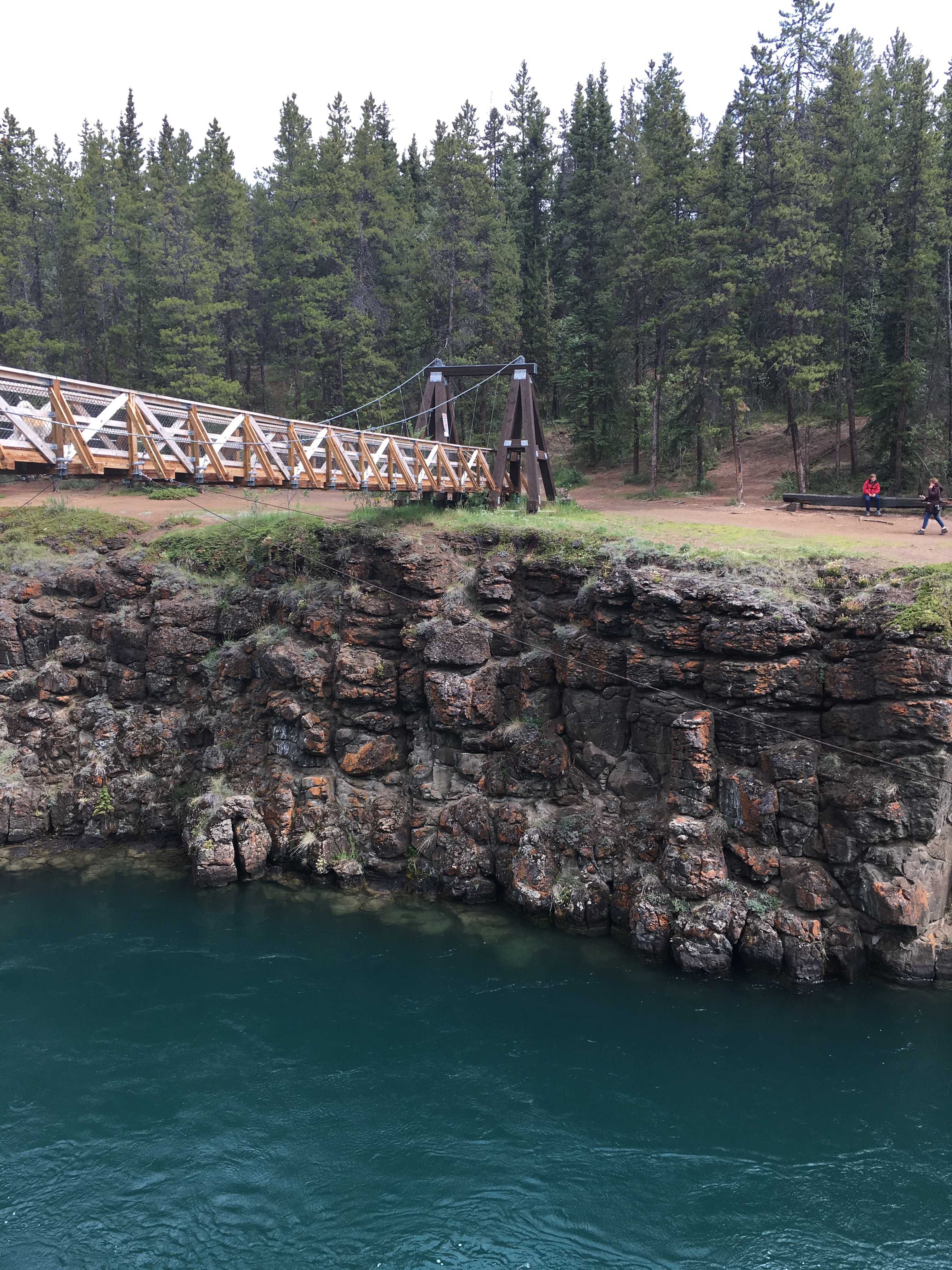
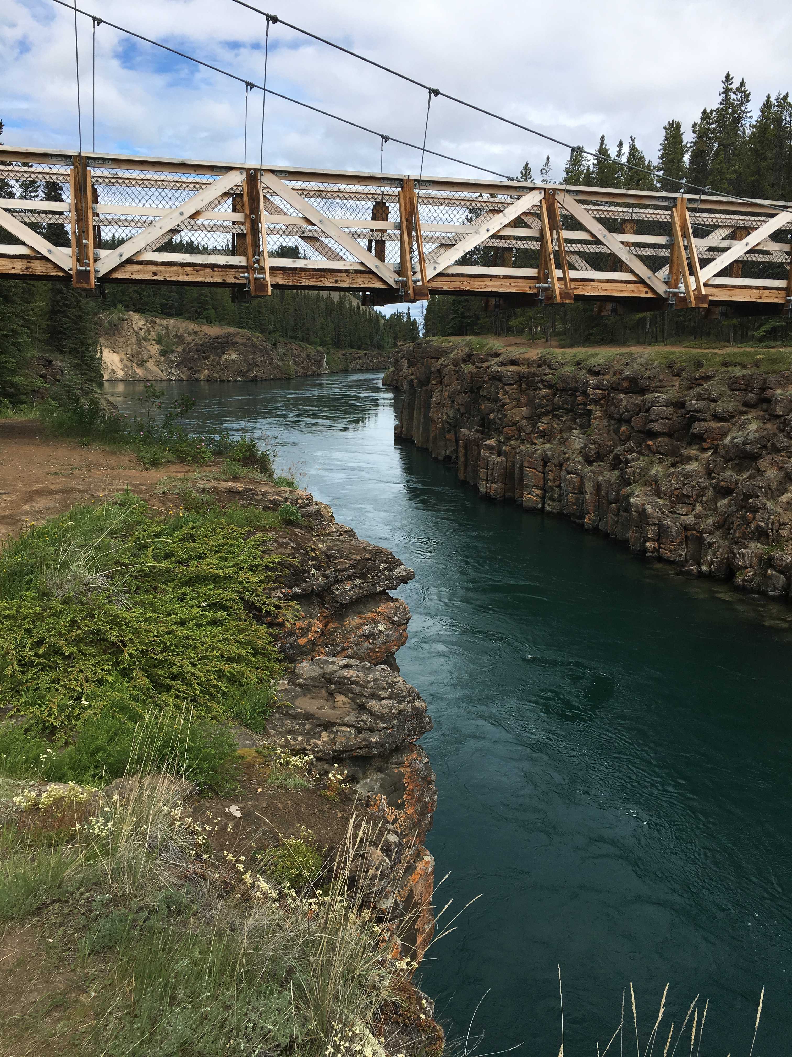
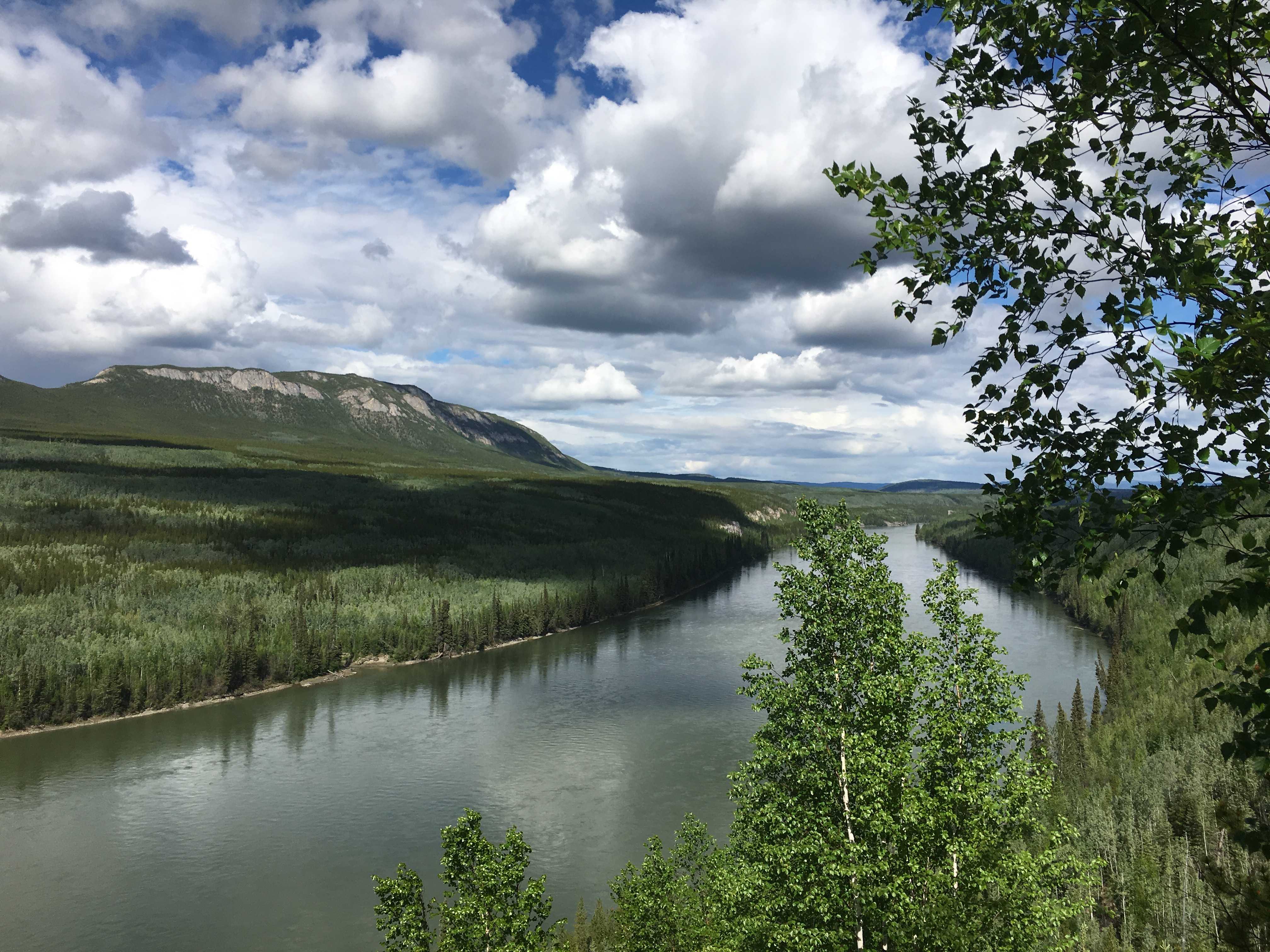
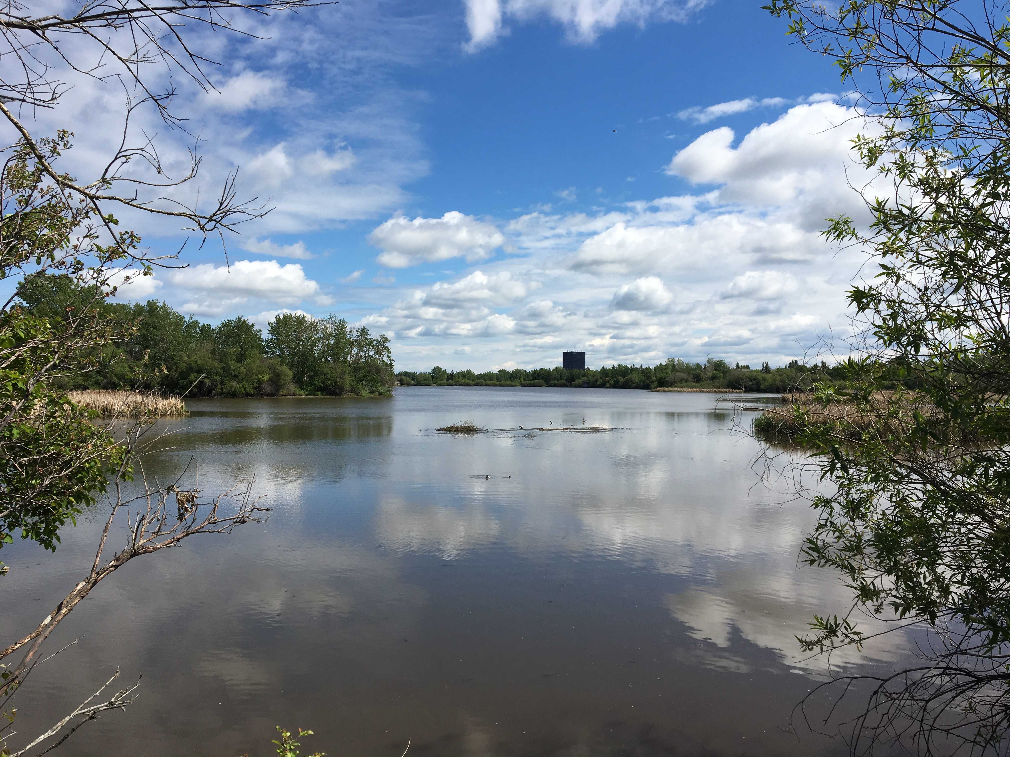
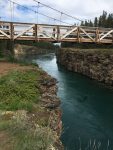
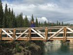 That afternoon we headed out to find the suspension walking bridge over Miles Canyon. It was a really cool place that the Yukon River gets channeled thru a very narrow canyon. That must have been one thrilling ride in that old steamboat.
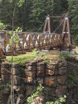
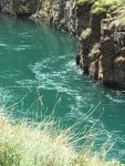

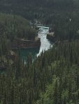
The bridge itself looked really sturdily built, but once you walked on it, that thought disappeared from your mind as it bounced and swayed around you.
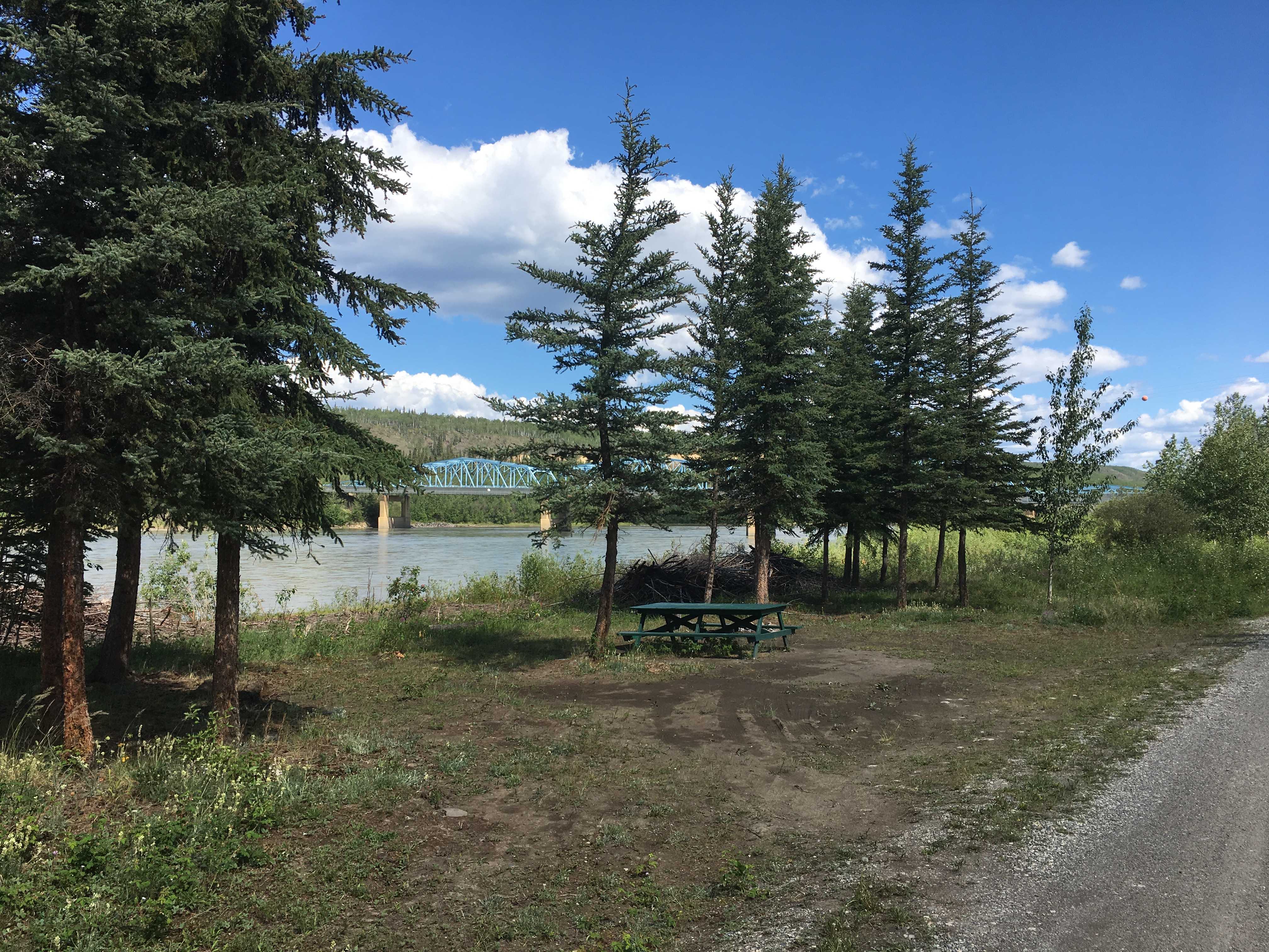
That was a really beautiful afternoon. Afterward we drove around and checked out easy in and out fueling stations for the RV to use Thursday morning on the way north toward Dawson City!

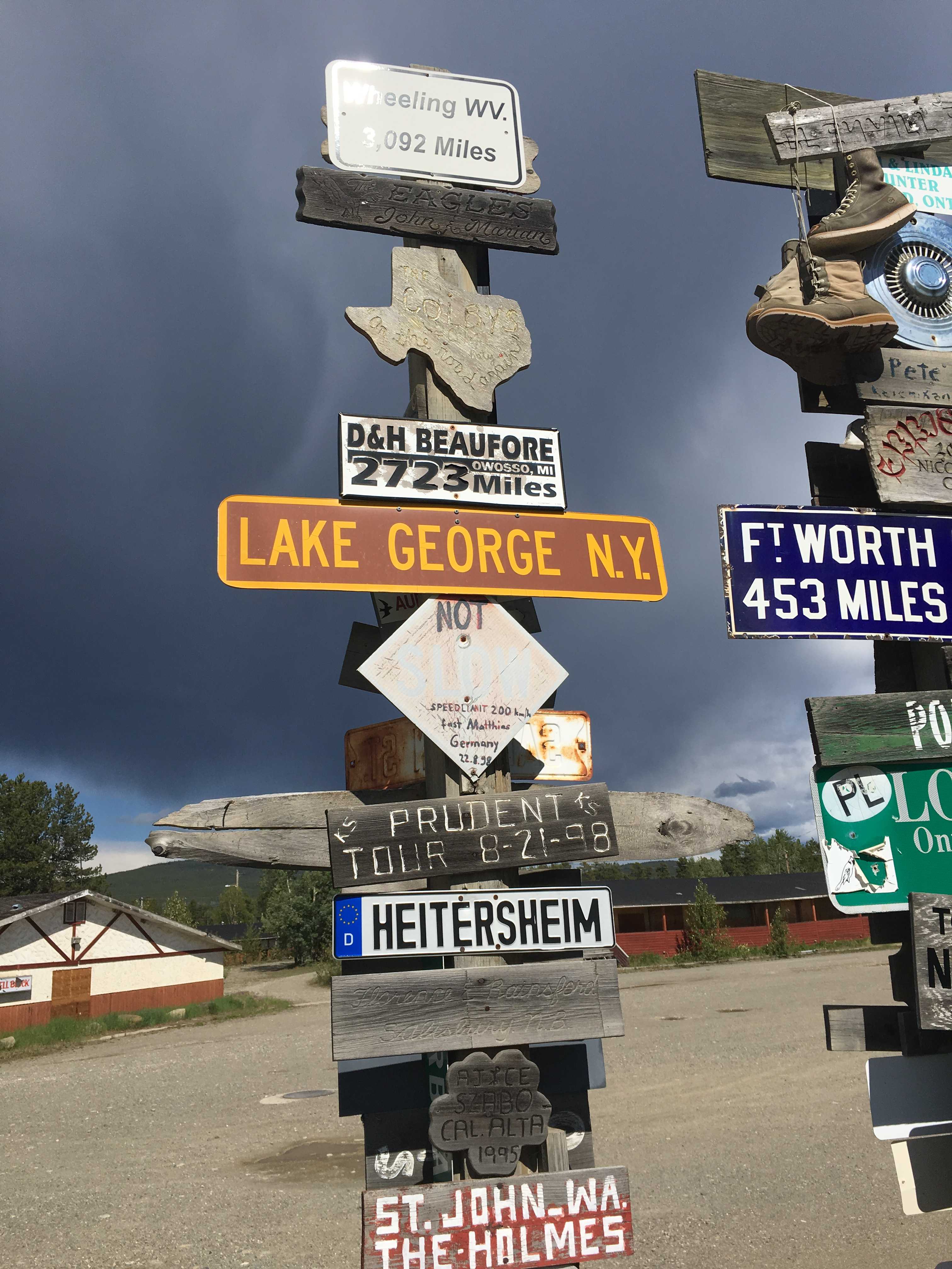
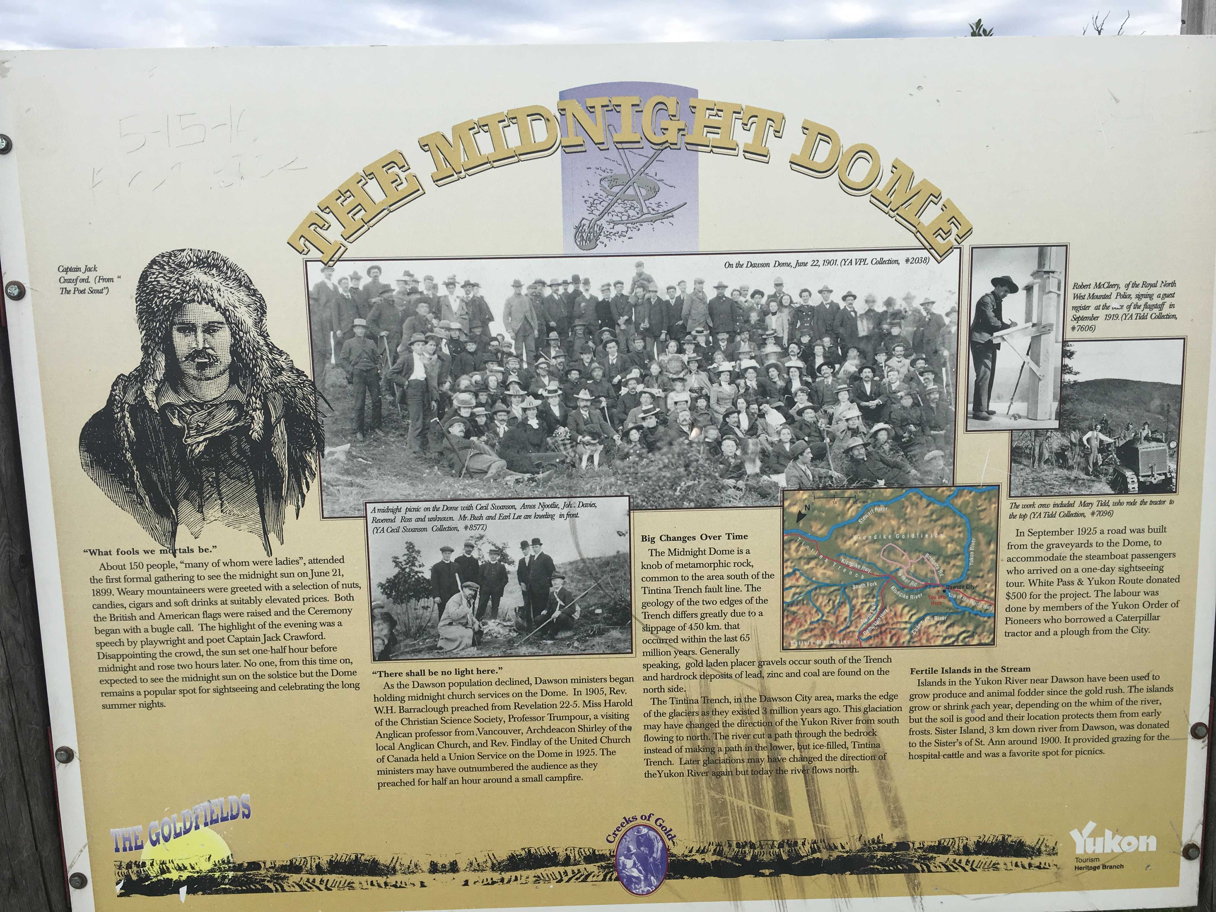 We had been driving past Dome Road each time we went in to town, so one of the days I made the left to see where it took us. It was a windy potholed paved road that led to the top of the mountain above the city.
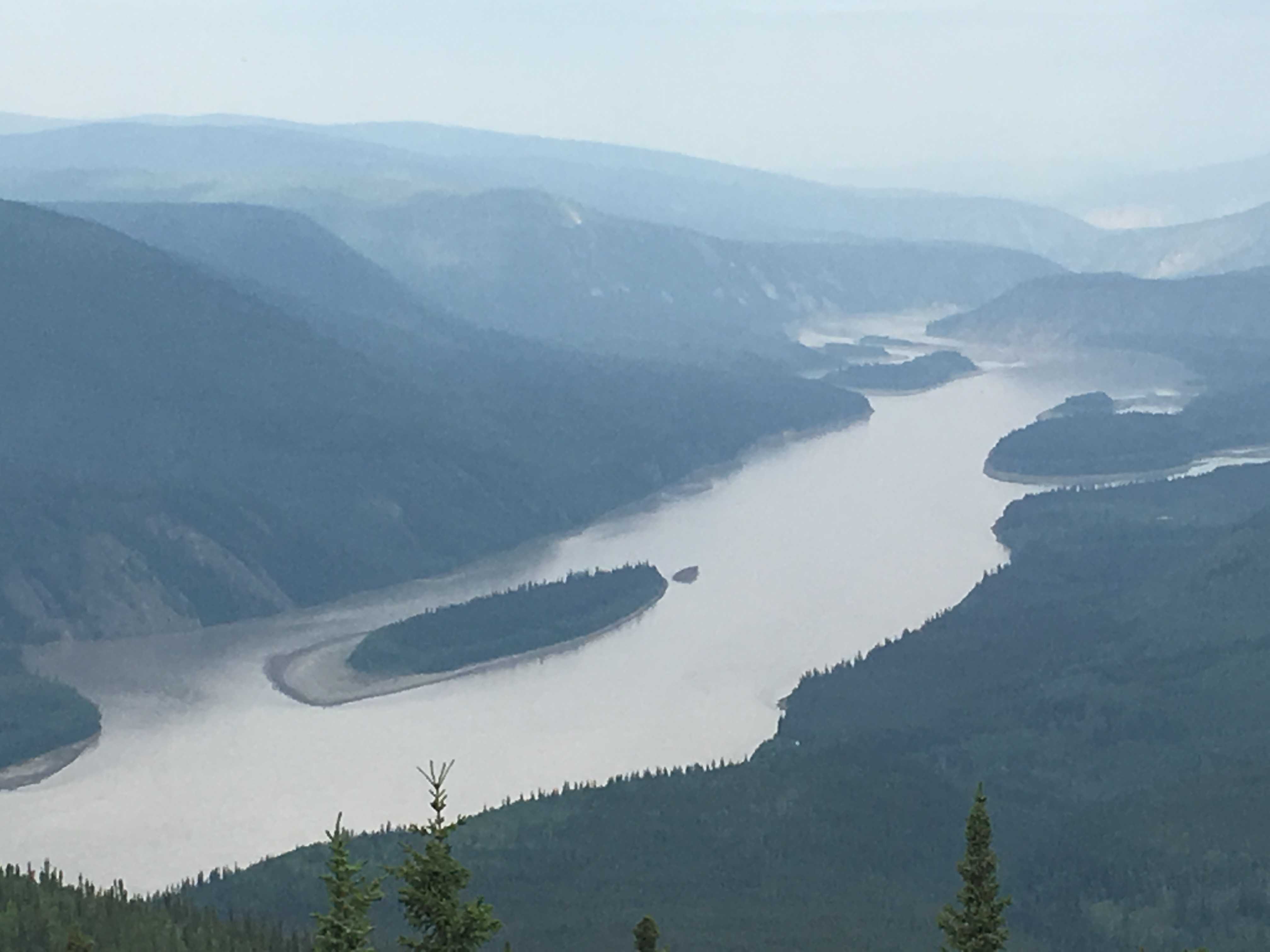


 We tried the Jack London Grill for lunch one day. If you like your burger mostly carbonized, then this is the place for you. We won’t go back there again. We had better luck with dinner at Klondike Kate’s. The food was
 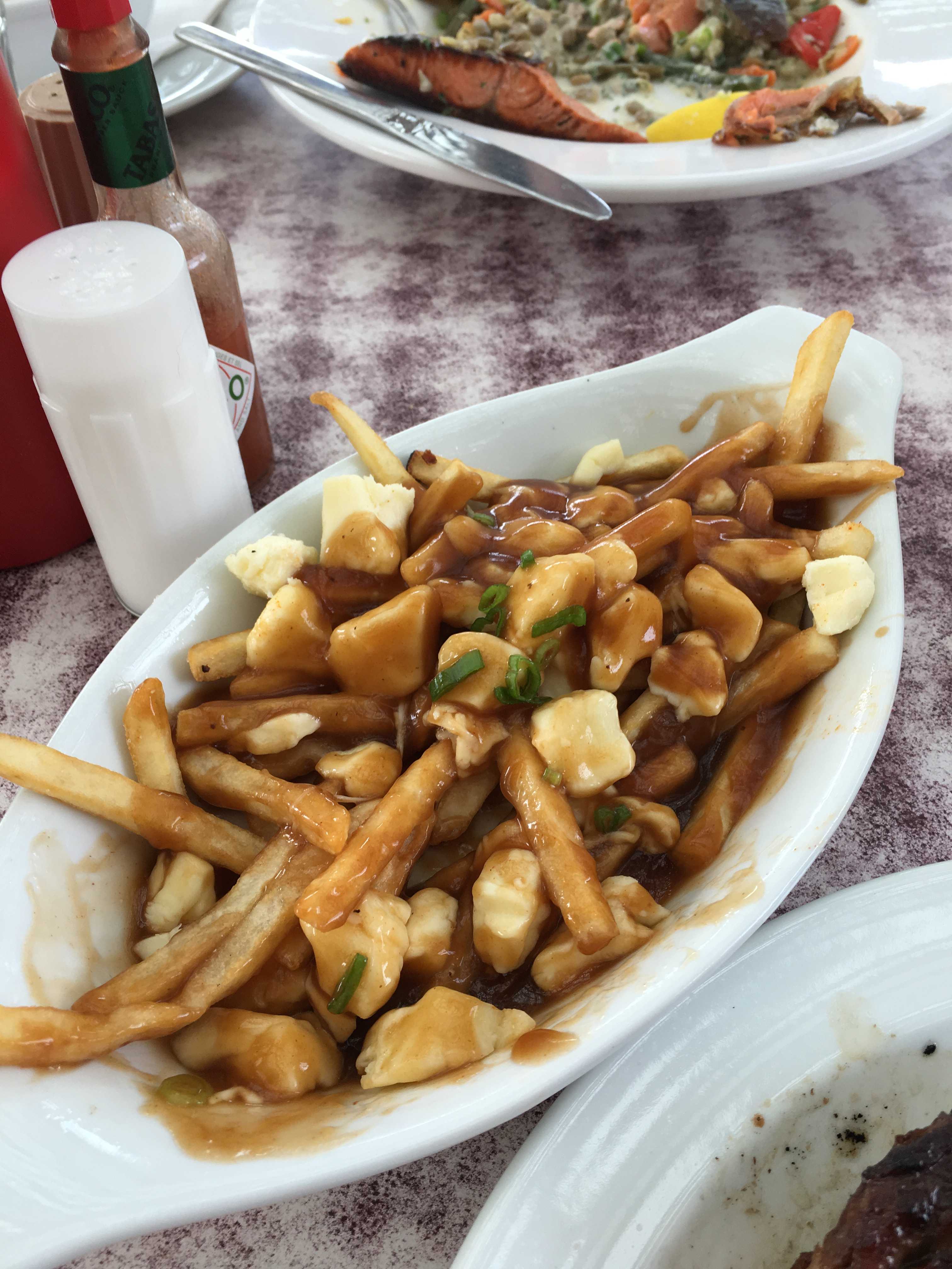 pretty good and the service was OK. I got to try Poutine, a French Canadian staple, from what I read. It’s french fries with cheese curds and brown gravy. It’s actually pretty tasty as a side dish.
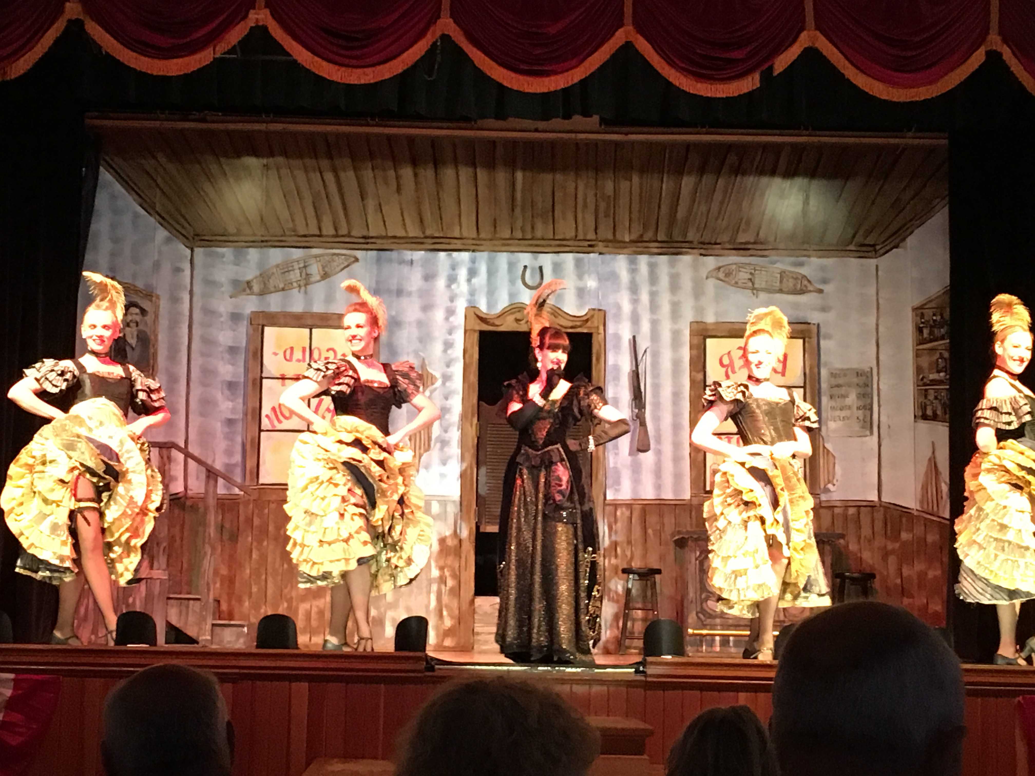
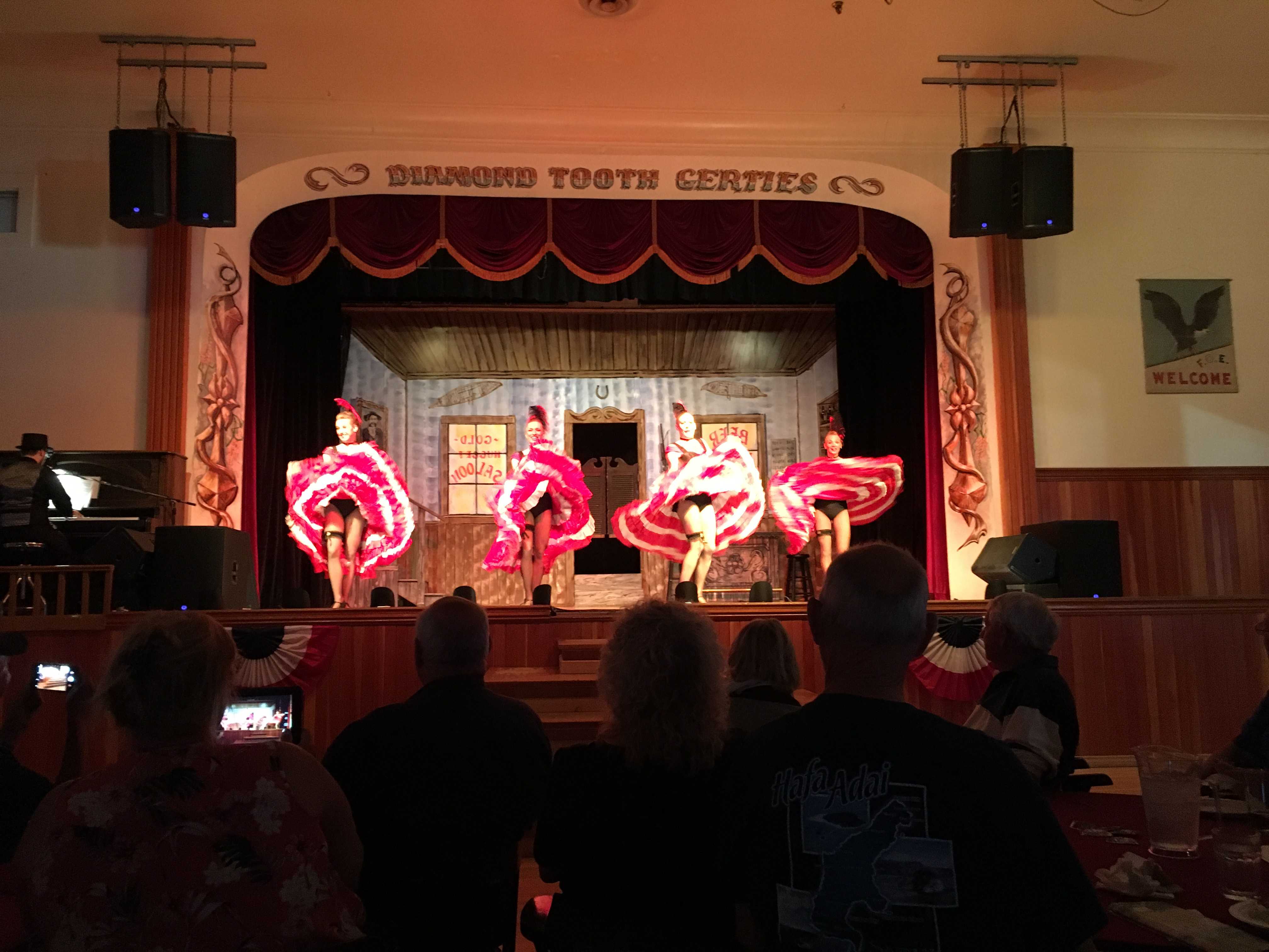
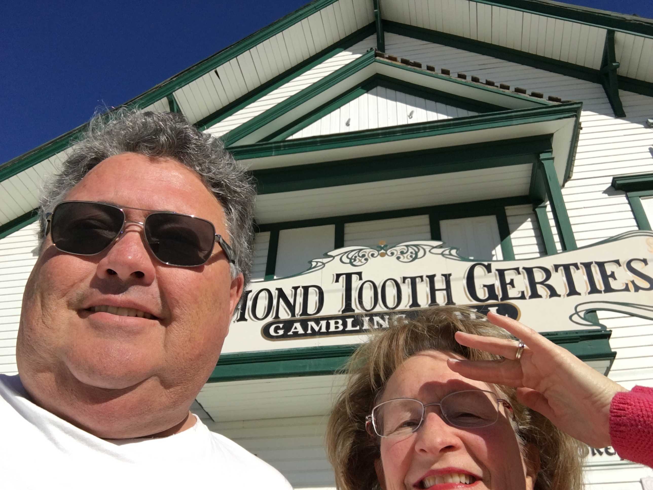 One evening I surprised Kathy at the last minute to get ready to try Diamond Tooth Gertie’s for a show and maybe some dinner. The place was a hoot! But it’s not a place to go have dinner. It seemed like it was their first day feeding people. You had to go up to a counter to order from a very limited whiteboard menu. They asked for your name and told you to come back in 5 minutes. 40 minutes later our burgers were ready and they weren’t half bad. I had checked back at lest 6 times, so the order taker actually called me out when ours was ready. No one else’s name had been called the whole time and lots of people kept coming back to the counter wondering where their food was. Luckily we ordered something odd, a salmon burger without a bun for Kathy, so our order stuck out against all the others. They even stopped taking food orders from all the folks in line so they could get caught up. Boy, did that change the mood fast for the folks waiting to order. I thought there might be a rebellion about to occur.