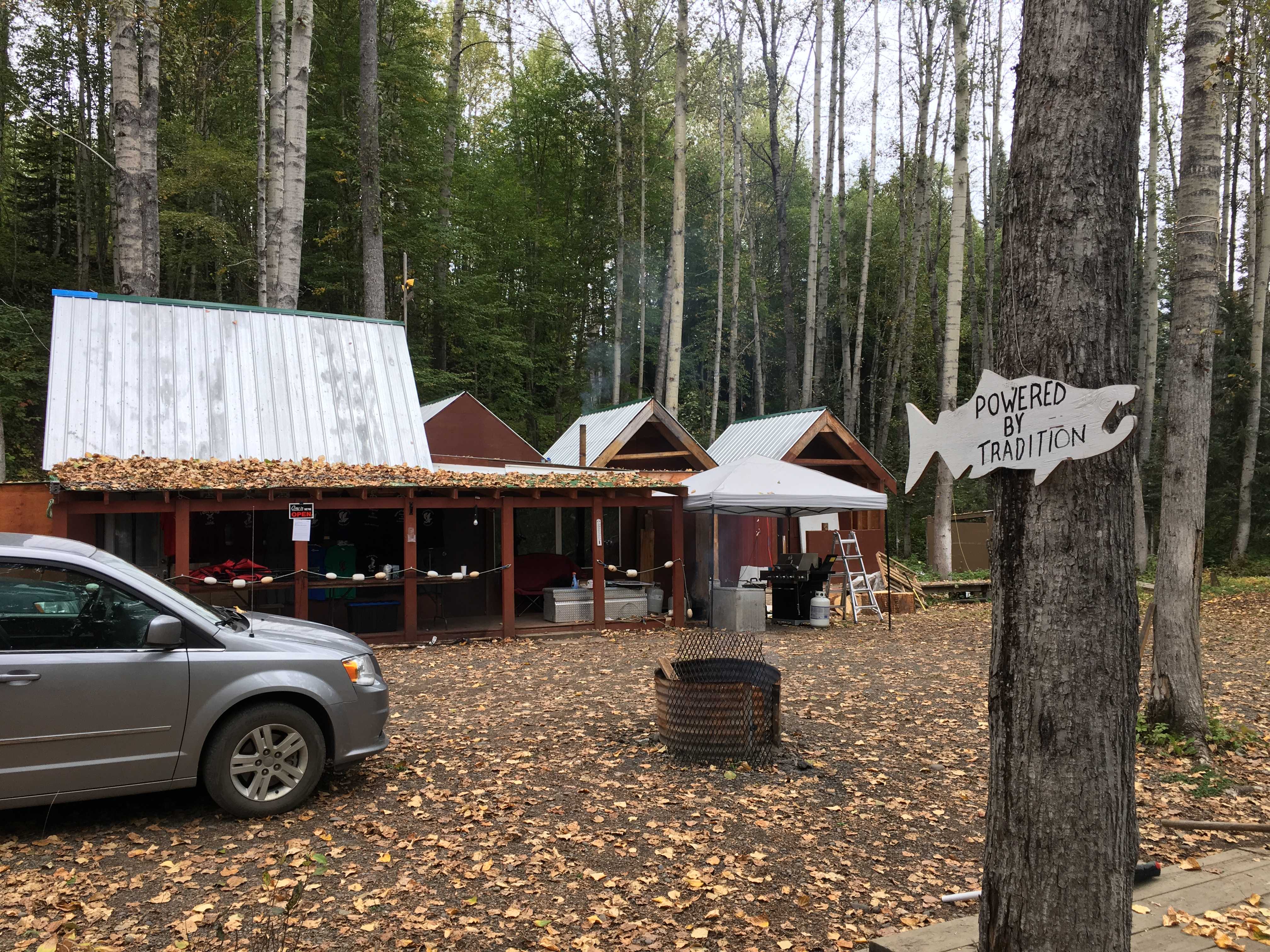
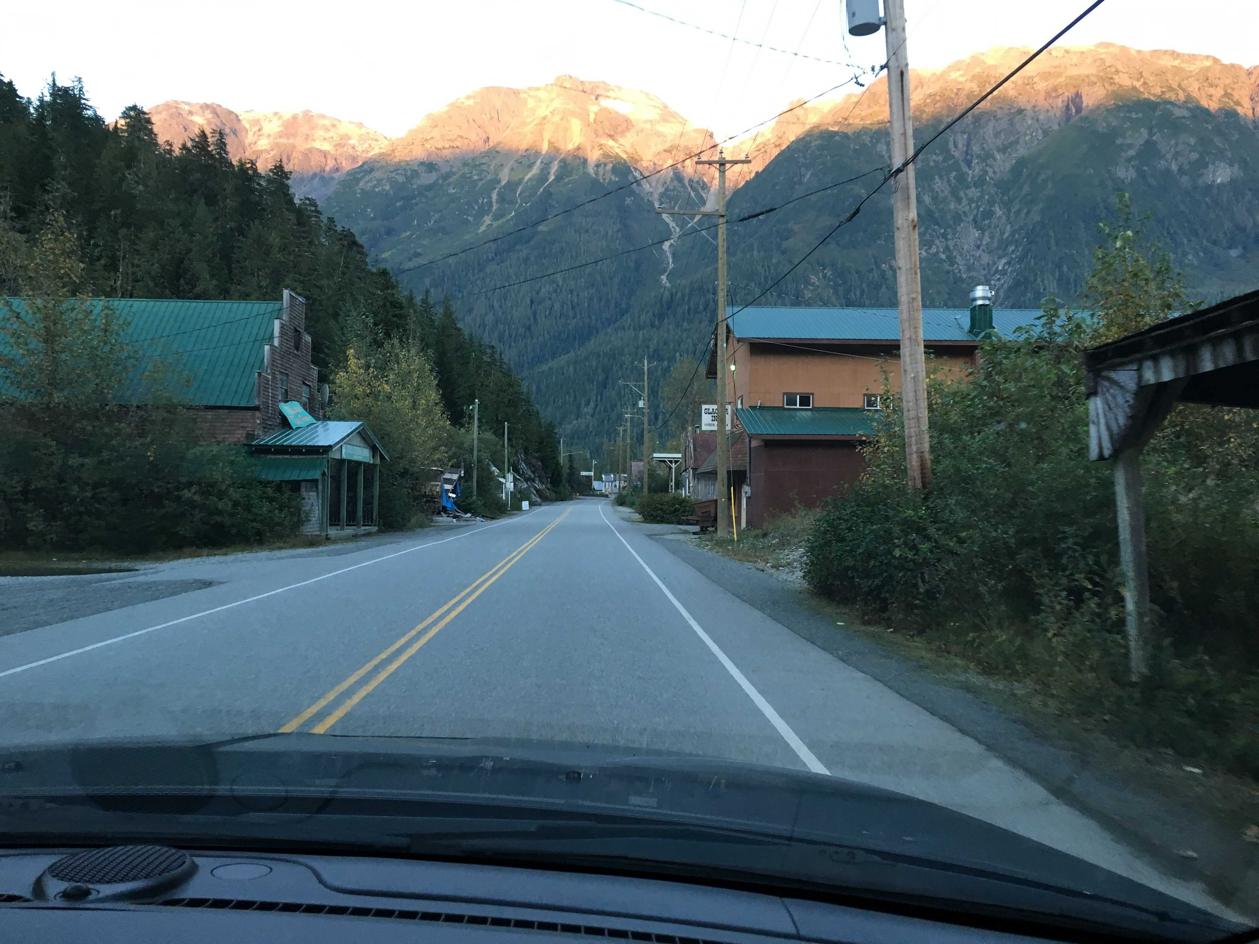
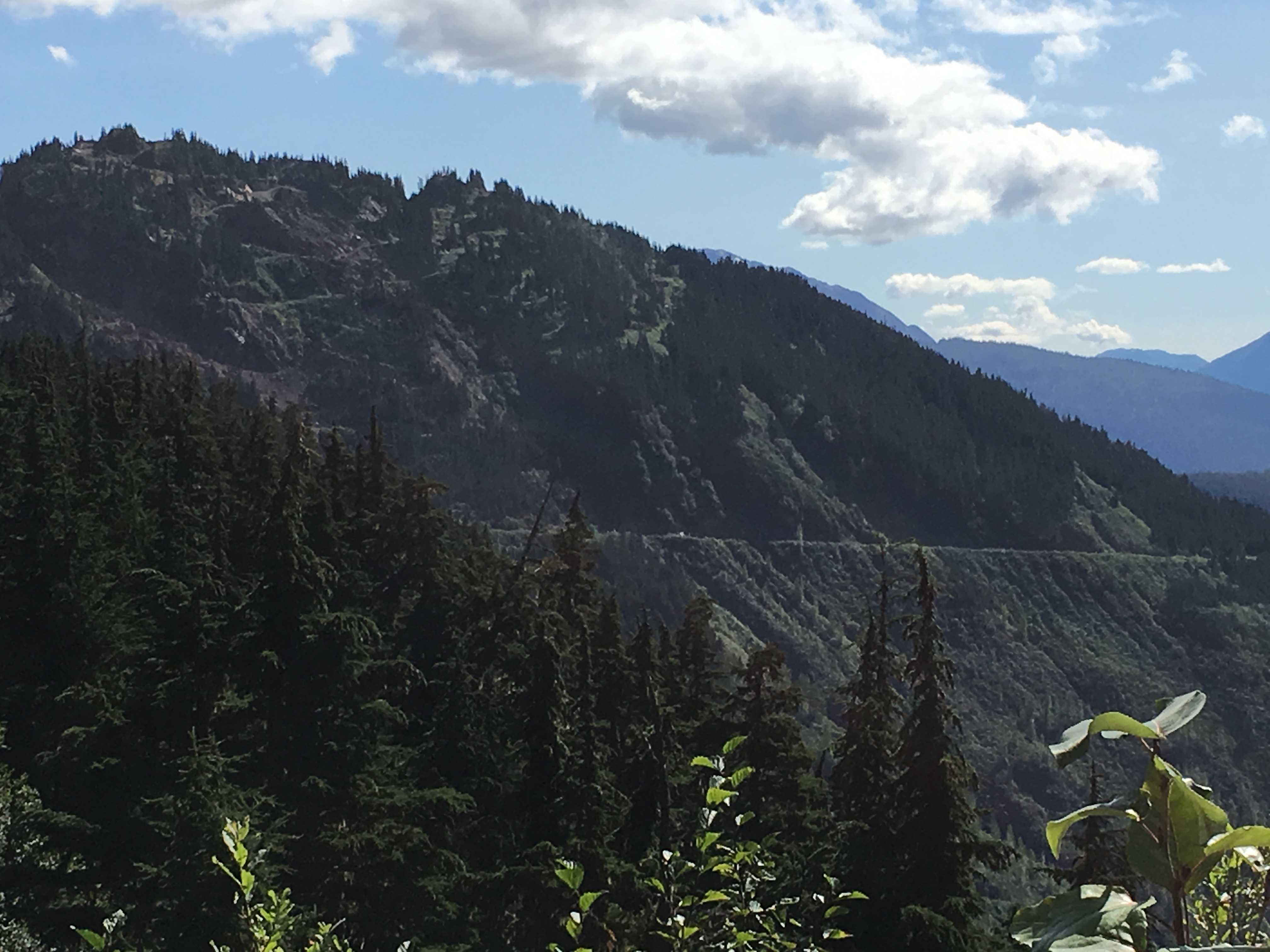
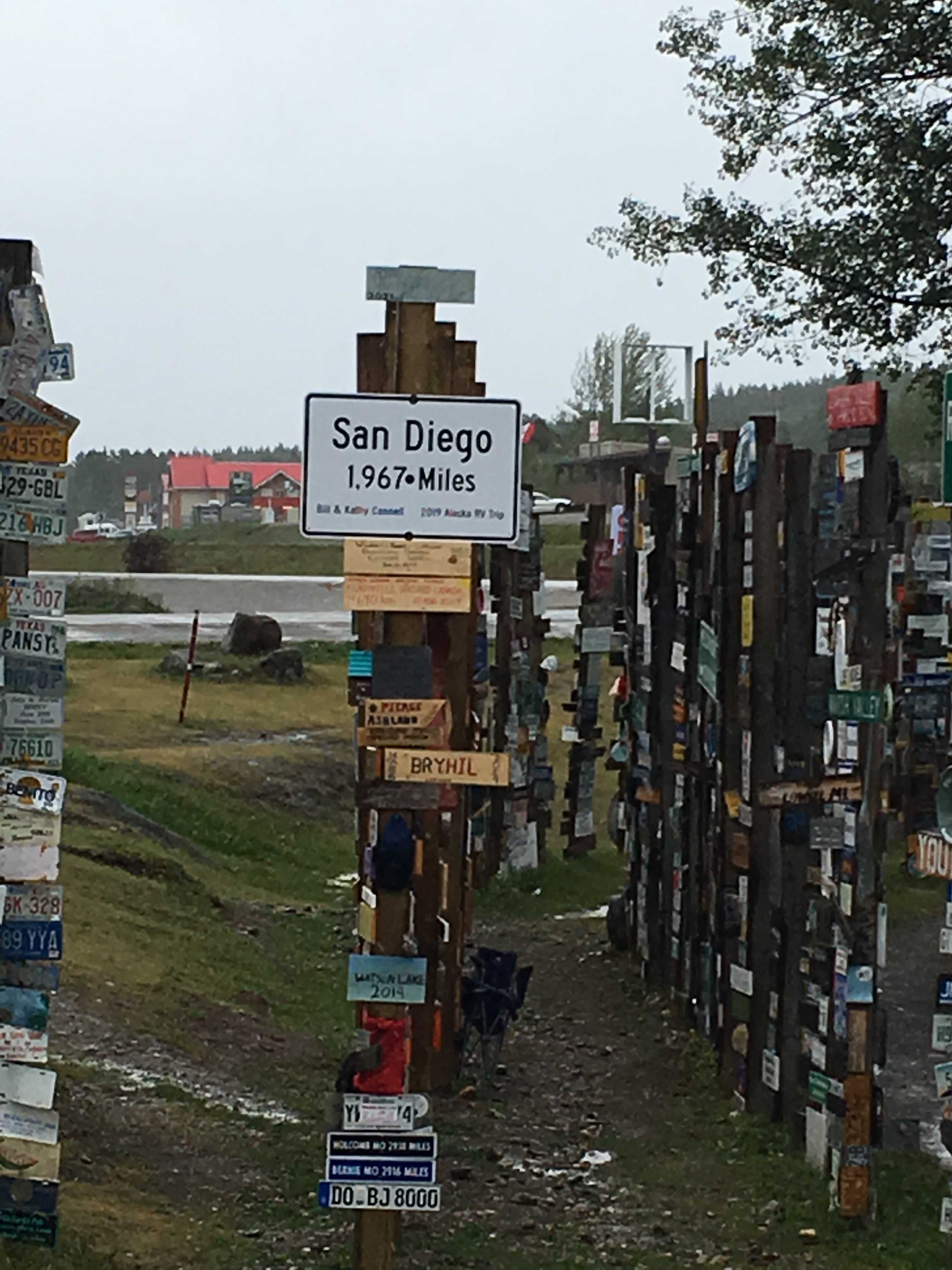
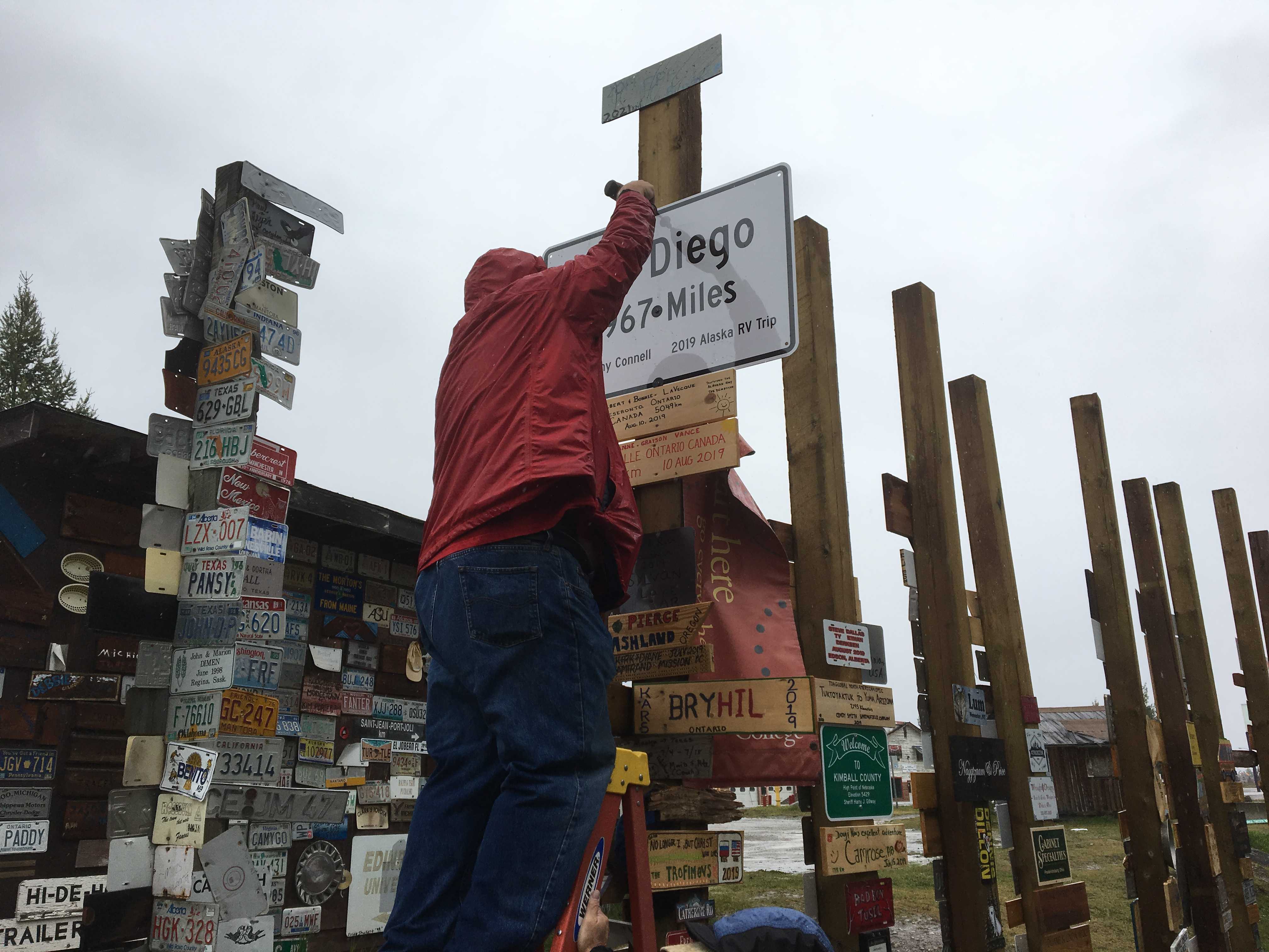
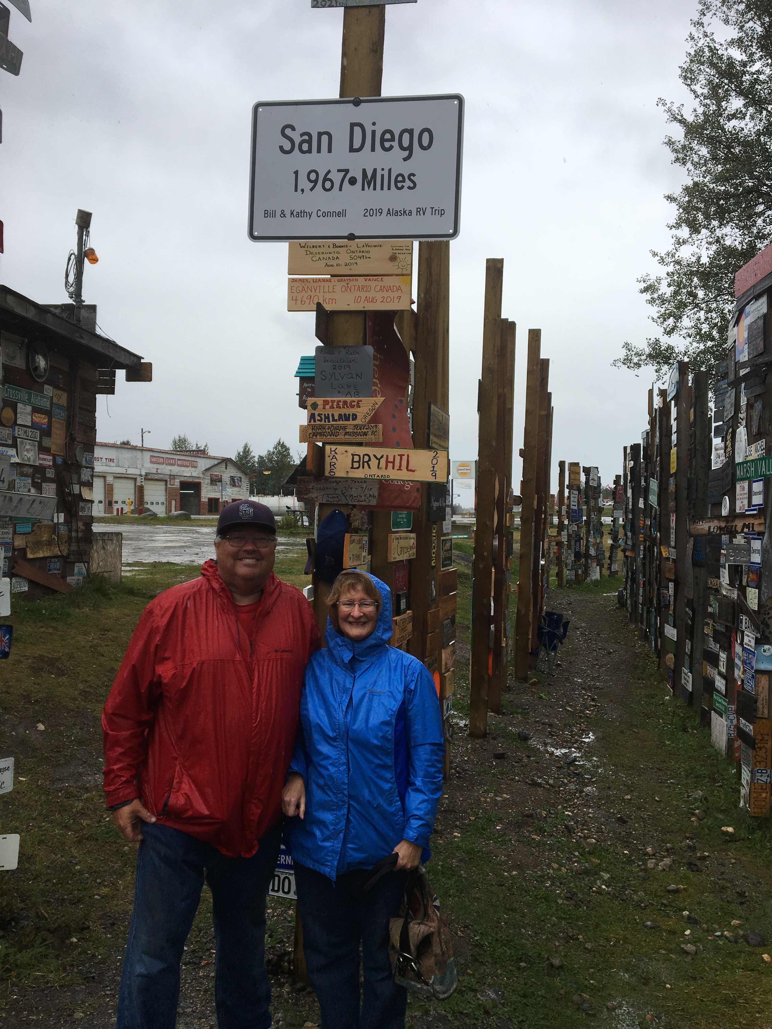
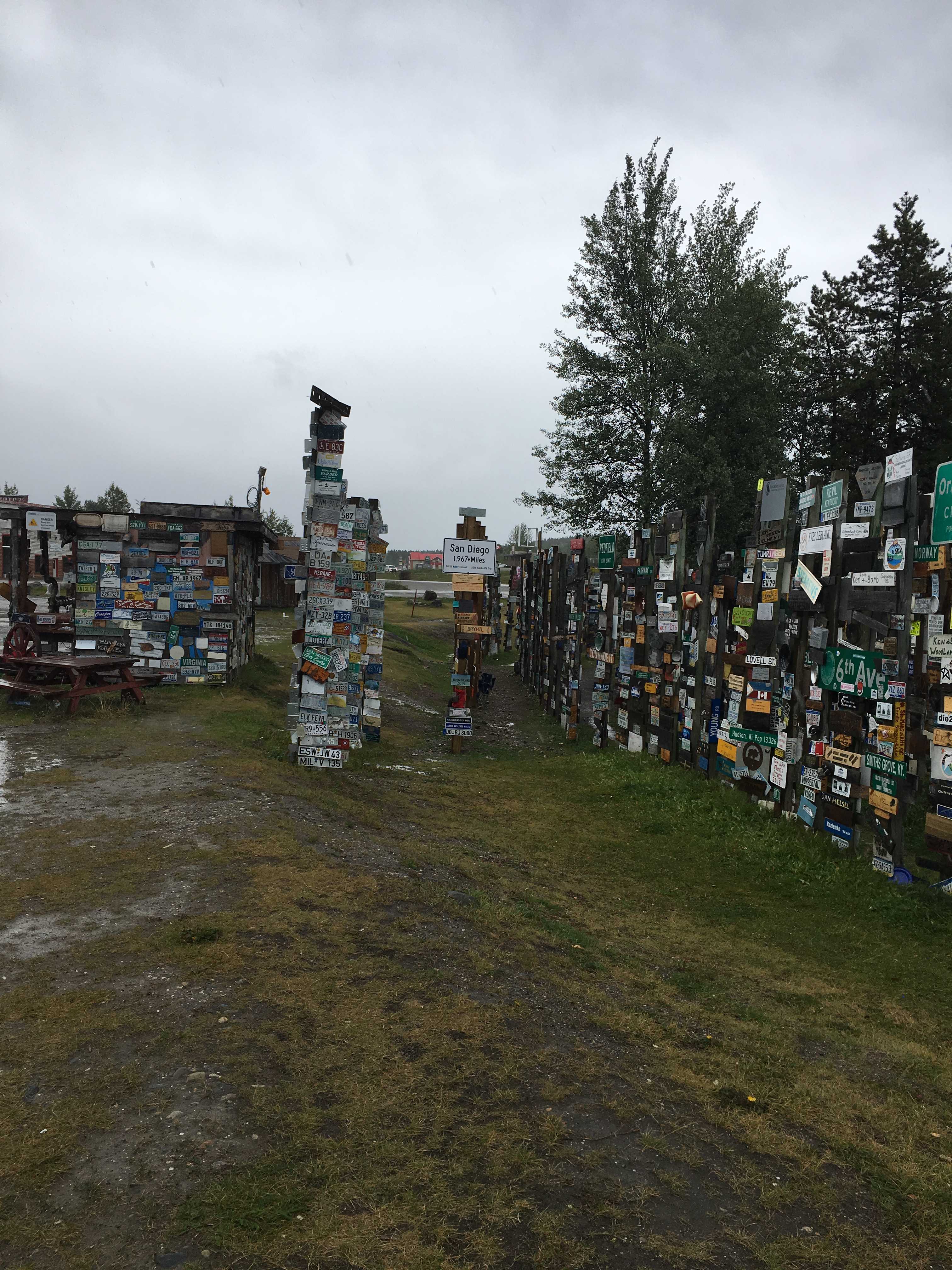
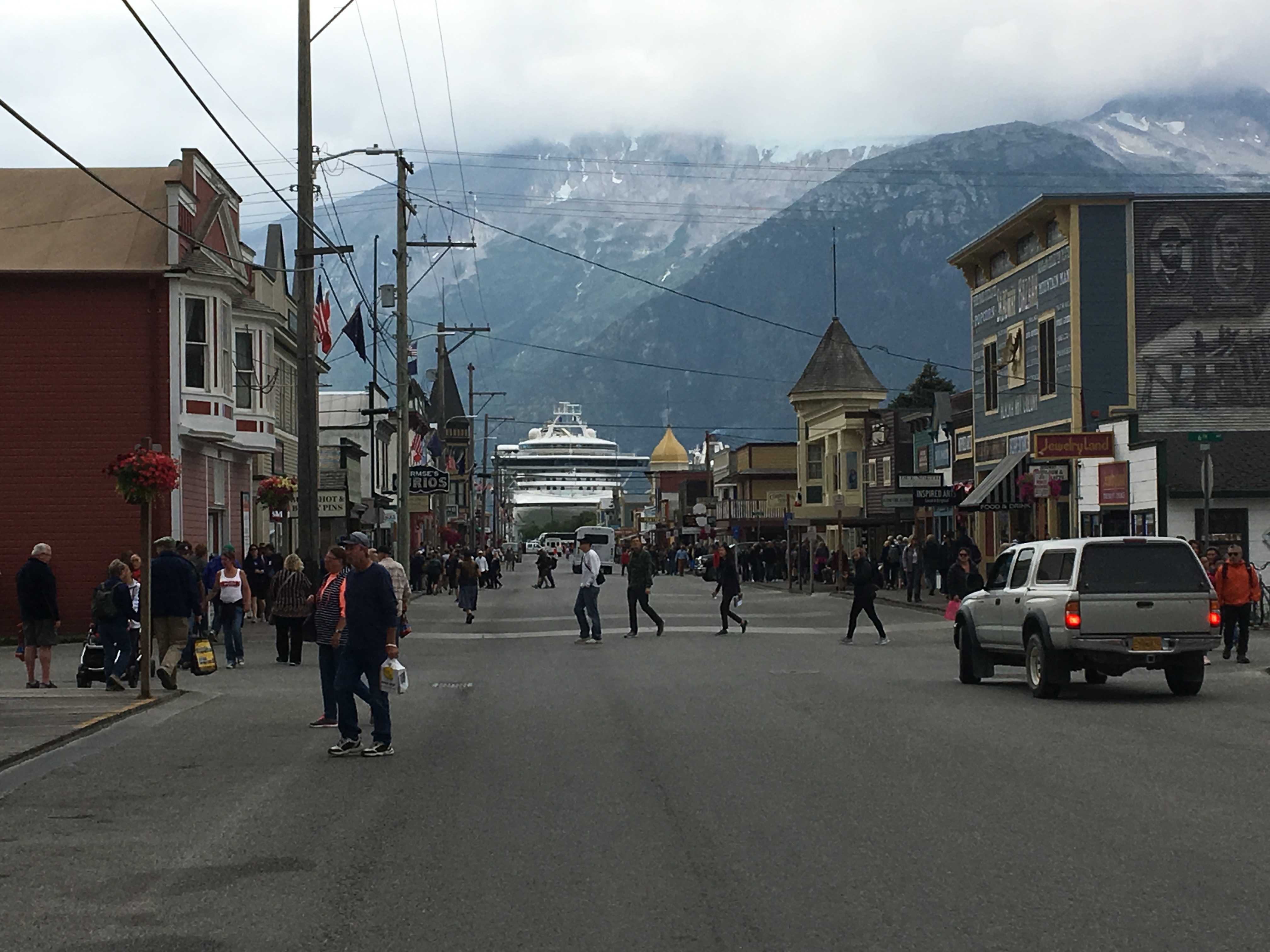
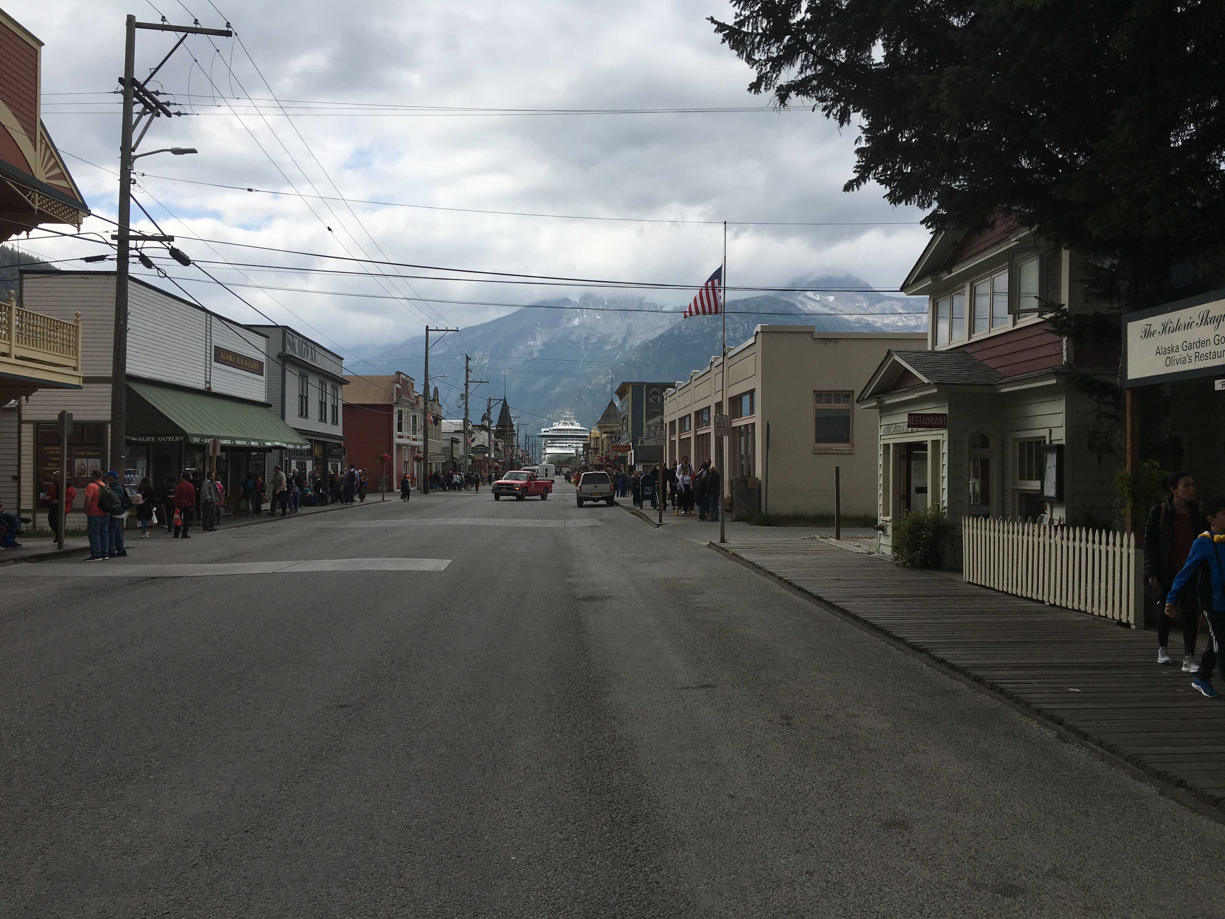
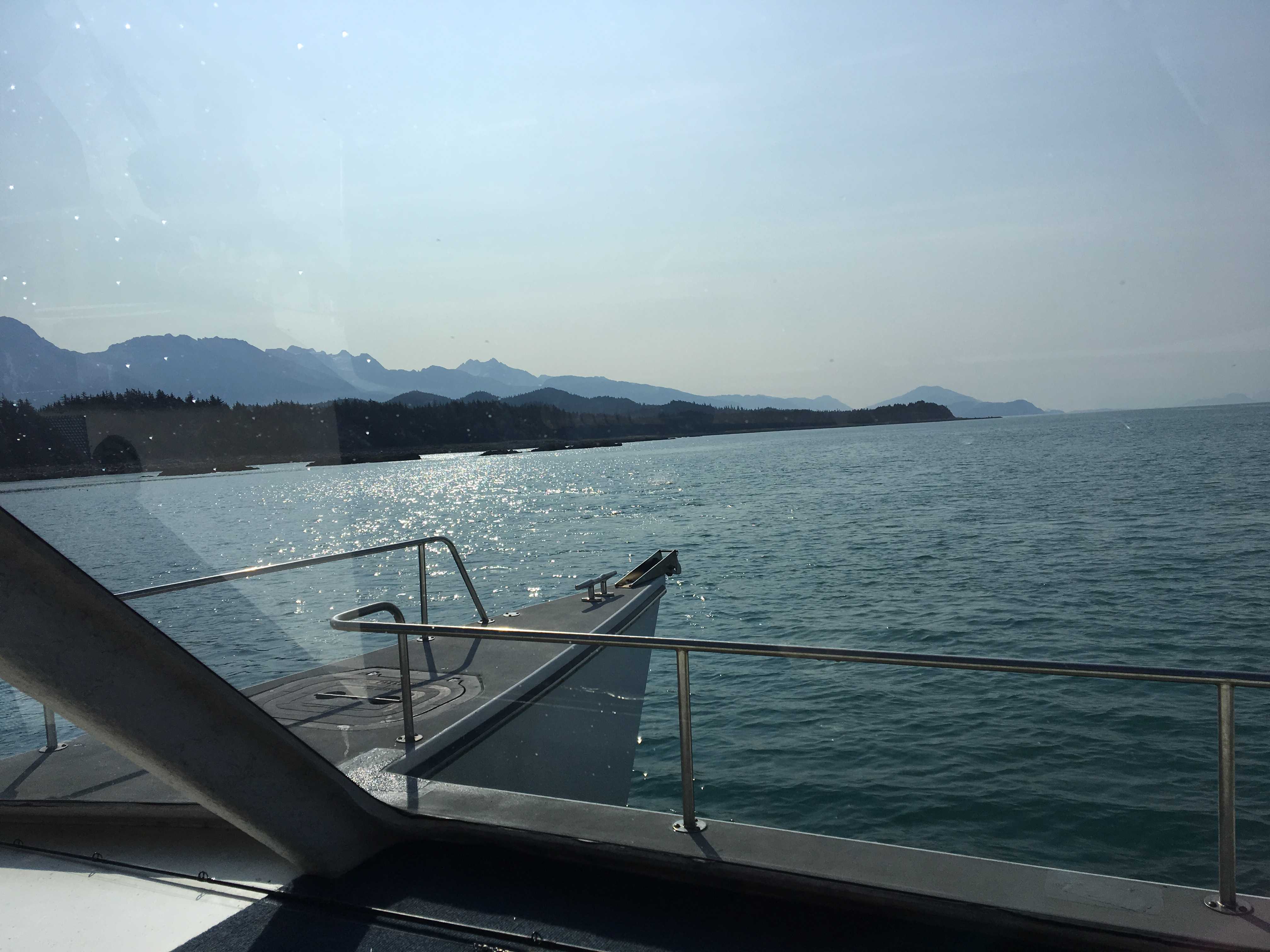
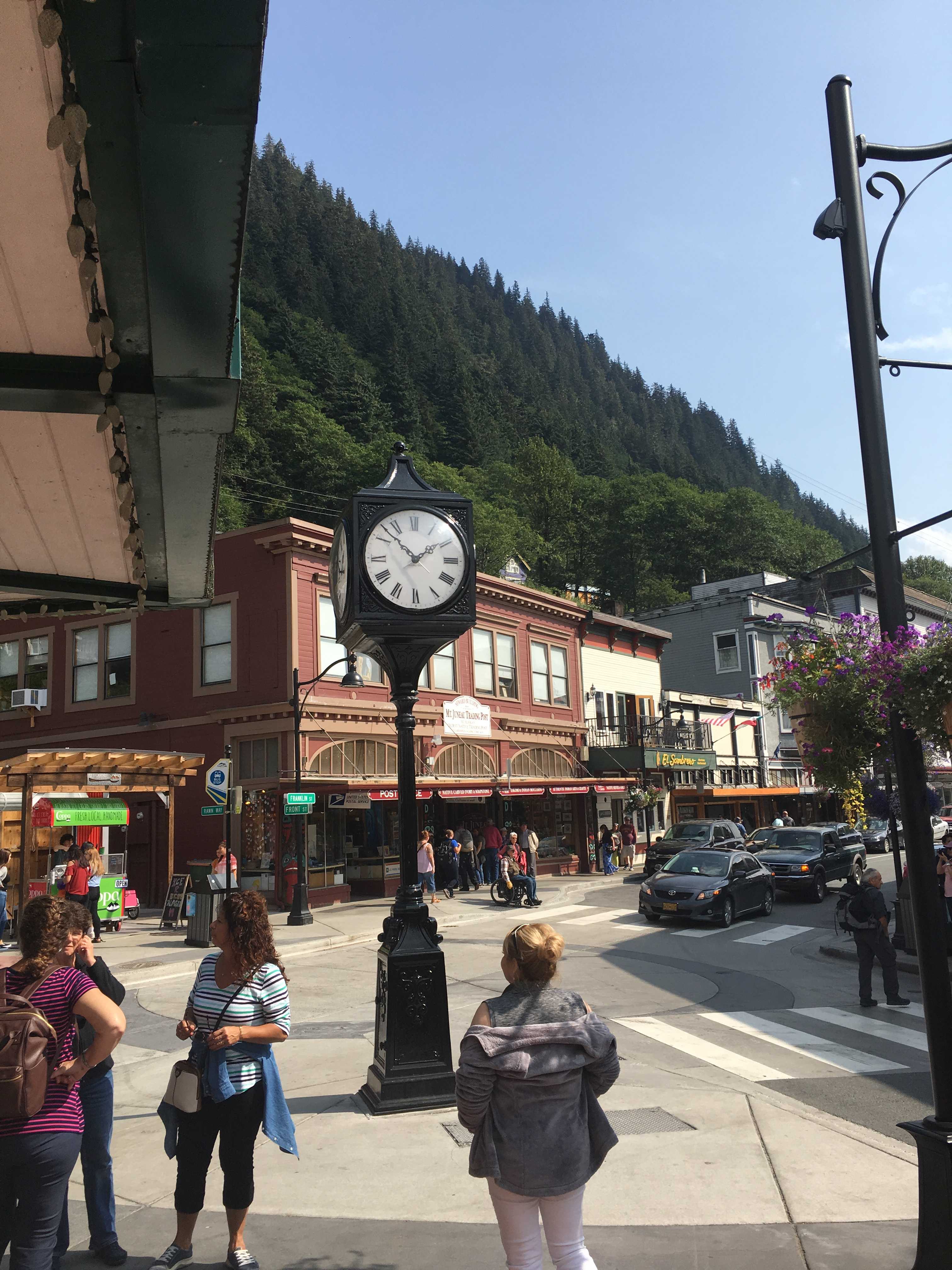
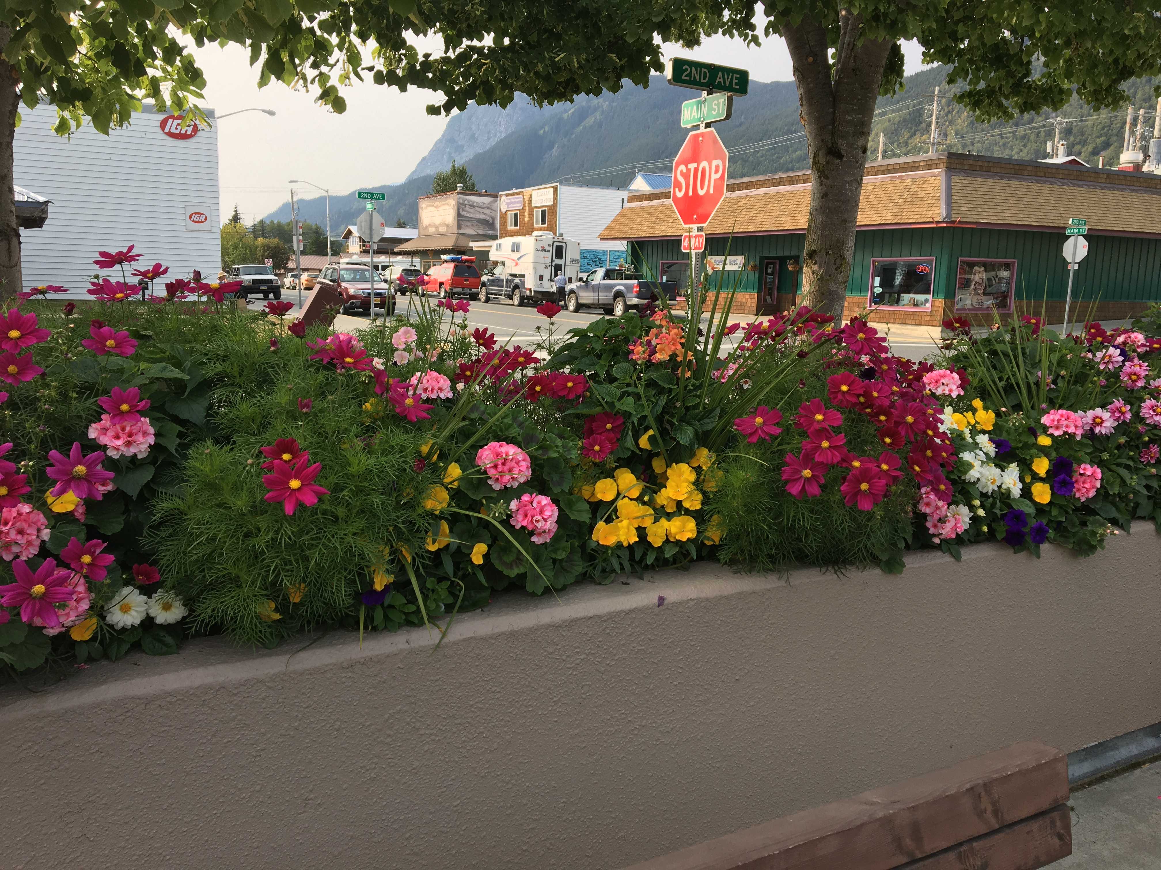
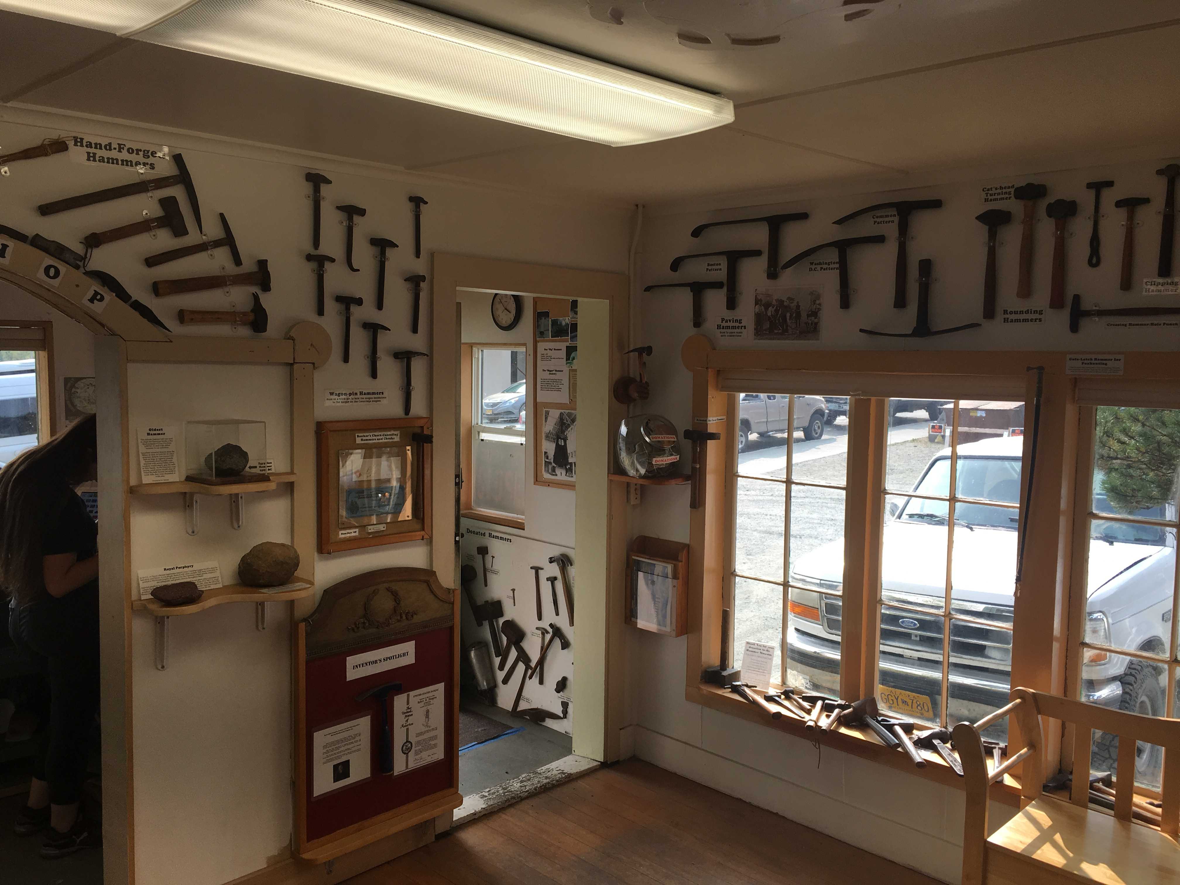
 Turns out that Canada’s Labor day is the same as in the US. Most of their holidays are different than the US’s so we were not expecting this weekend to be a holiday. I only found out it was while visiting the hardware store in Stewart, BC. The shopkeeper mentioned they were closing early on Friday to start celebrating for the long weekend. I asked what the long weekend was and he replied labor day. I immediately thought I was back in the US and asked him if we were. We had been crossing back and forth between the US and Canada a few times each day while staying in Stewart. I was thinking I was confused for a moment. But I was not. They celebrate the holiday at the same time.
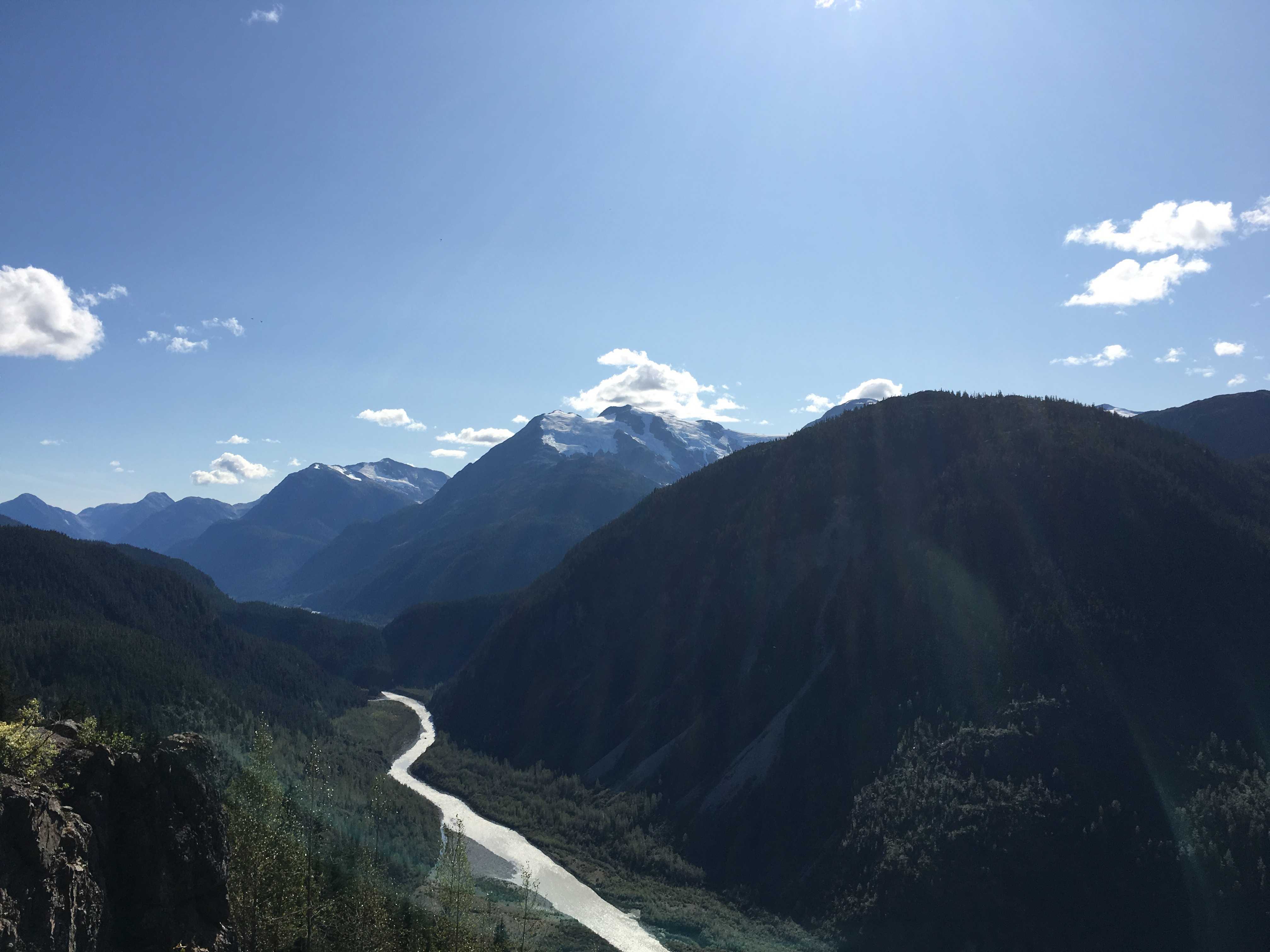
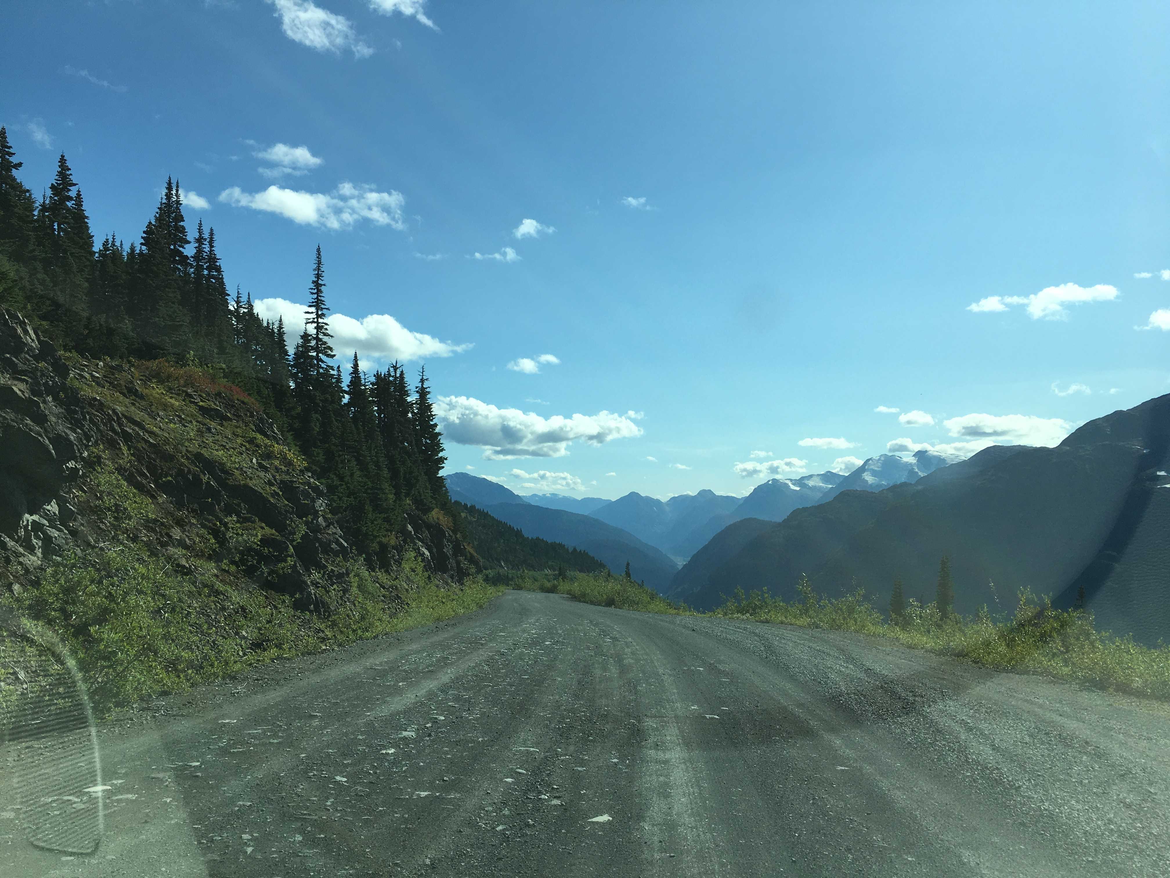
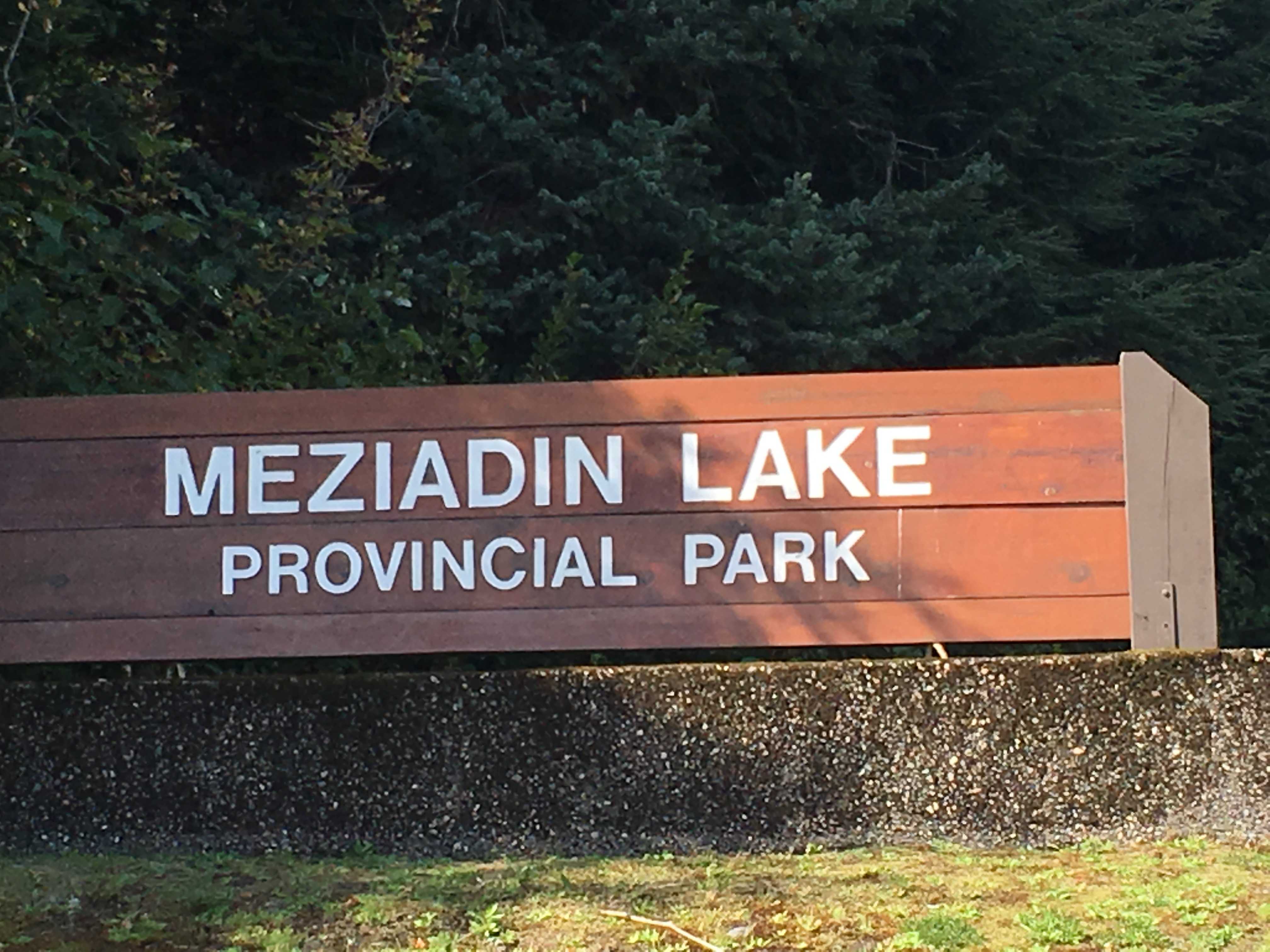 So we left Stewart around 10 am for the short trek to Meziadin Lake Provincial Park. Sue and Larry had reservations; but when I checked a few weeks prior to arrival, all the reservable sites were full. So we were looking for a first-come, first-served (FCFS) campsite on the waterfront the Thursday morning before a holiday weekend. I had done a bit of online research while in Stewart and saved a screenshot of the
  campground layout to be able to find the lakefront sites when we get there.
Their reservation system was a confusing mess, showing some reserved sites as FCFS for Thursday and Friday and reserved for the next few days. I wrote the camp operator to understand what the deal-eo was. He had no idea what I was talking about. (After meeting him I understood why he had no idea what I was talking about)
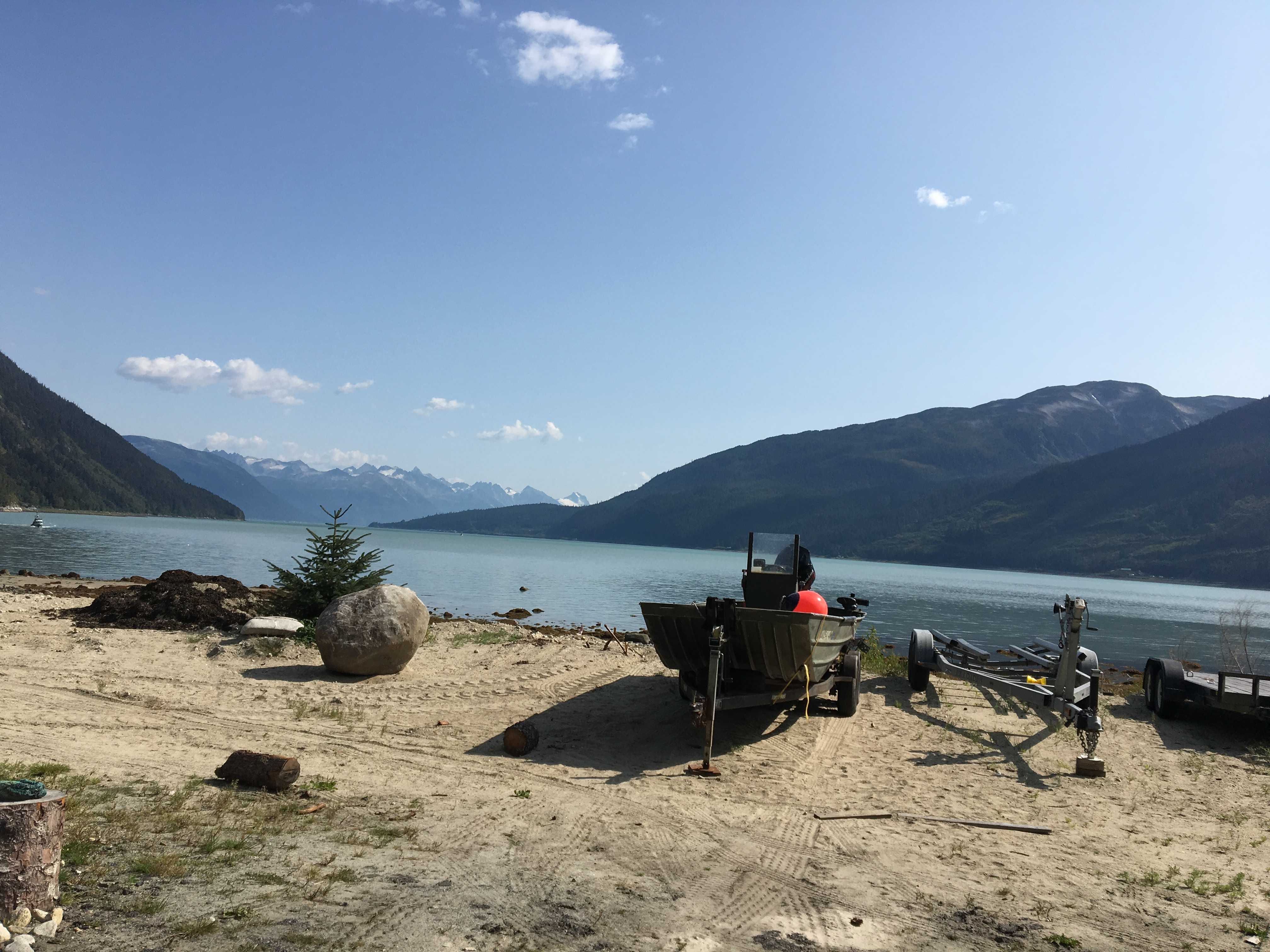
 We got to the lake and we drove right past the 4 waterfront sites that were actually FCFS. Unfortunately, I had not transferred the campground screenshot to my phone, so I
 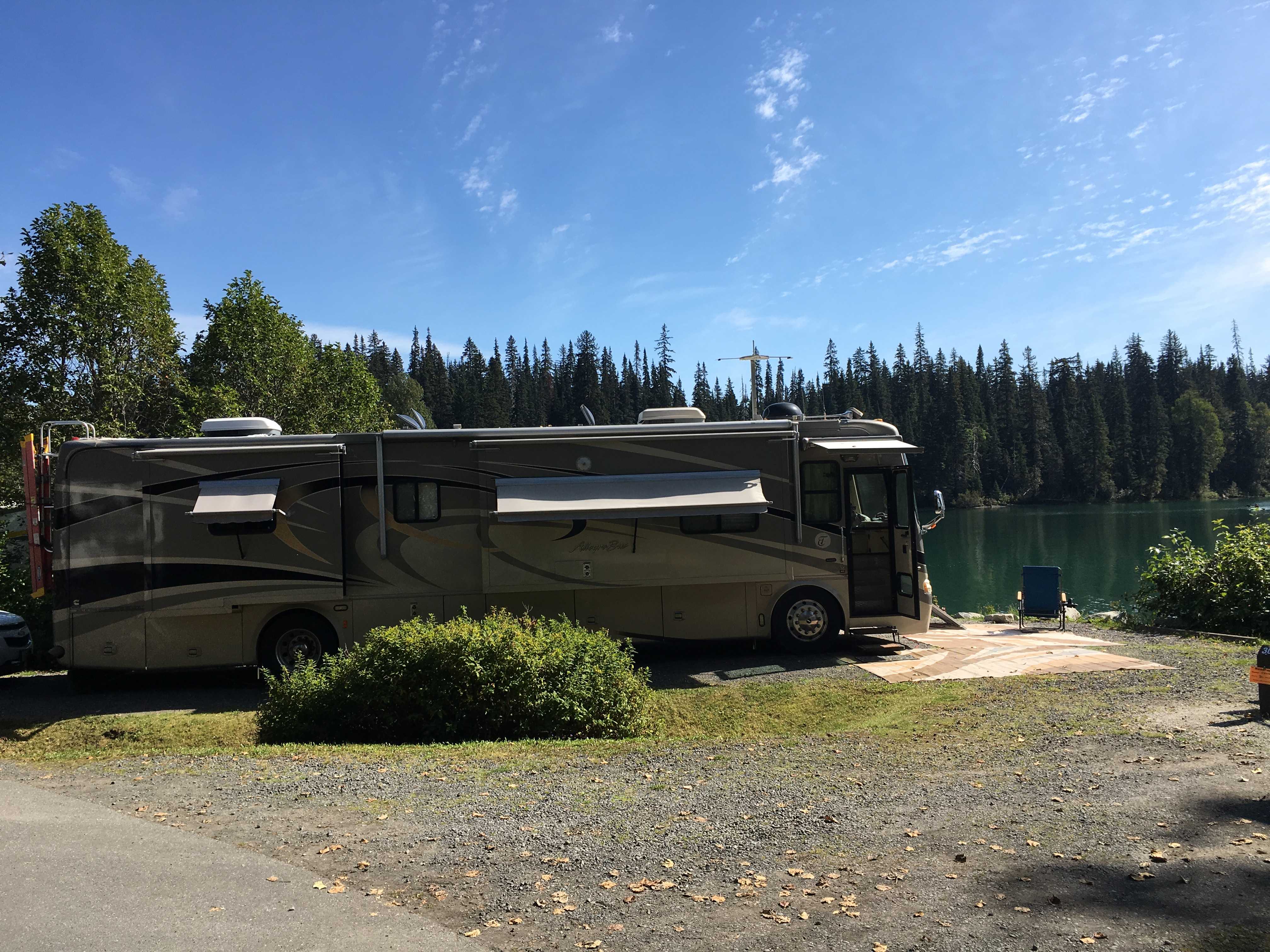 had to stop, whip out my laptop to view it. Then I unhooked the car and drove back to the 4 sites and found one open, although there was a truck and trailer parked just across from the site. I walked over to ask what was happening, and they were actually there for another site around the corner. So I got into the car and pulled it in to claim the last available lakefront site. 2 minutes later another RV came by looking for a site. Phew, just in the nick of time!!
I walked back to the bus and whipped a U-turn and Kathy moved the car out of the spot and I pulled in so the front of the bus was facing the water. Glorious!
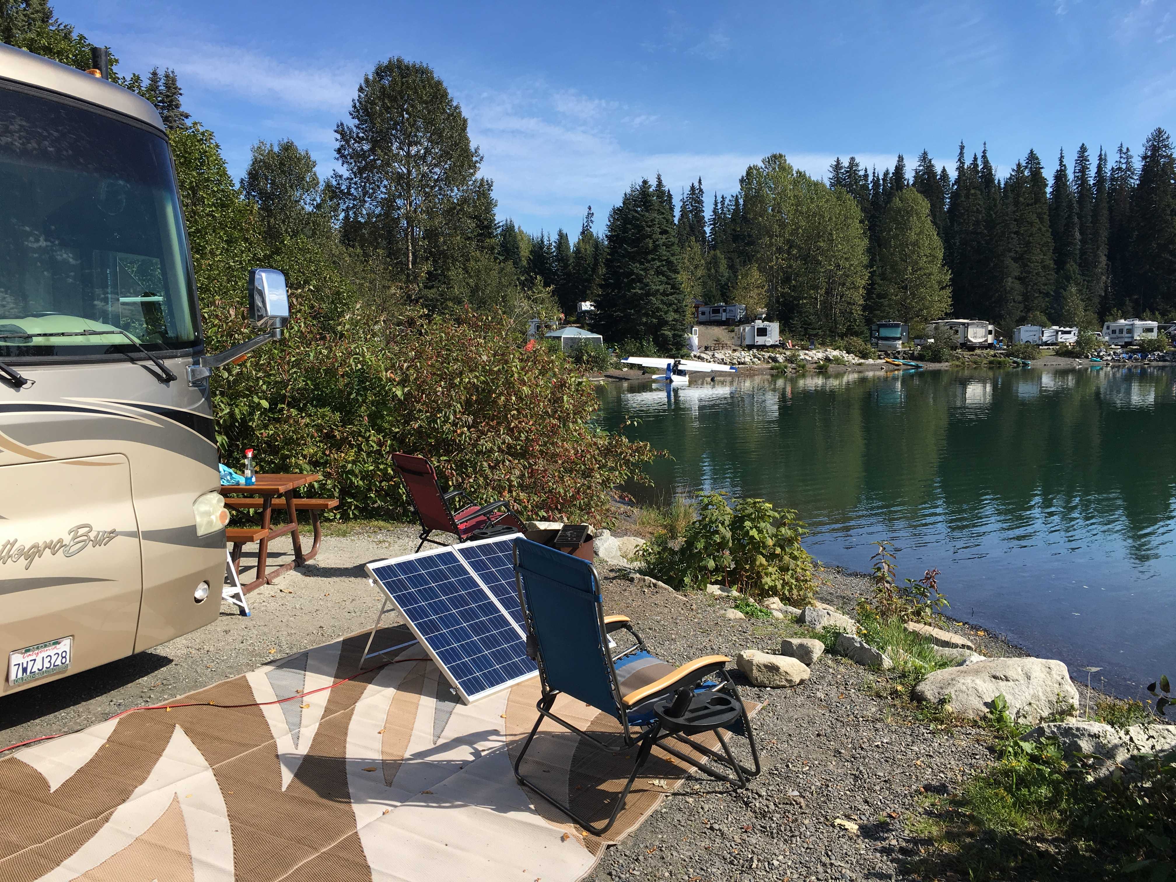 We fully deployed the house and I set up the solar suitcase and then the awnings, outdoor rugs, and all our chairs, the two lounges, and two regular chairs.
I even hooked up the Bill-Turi so the diesel fumes go up and over our RV and the folks next door.
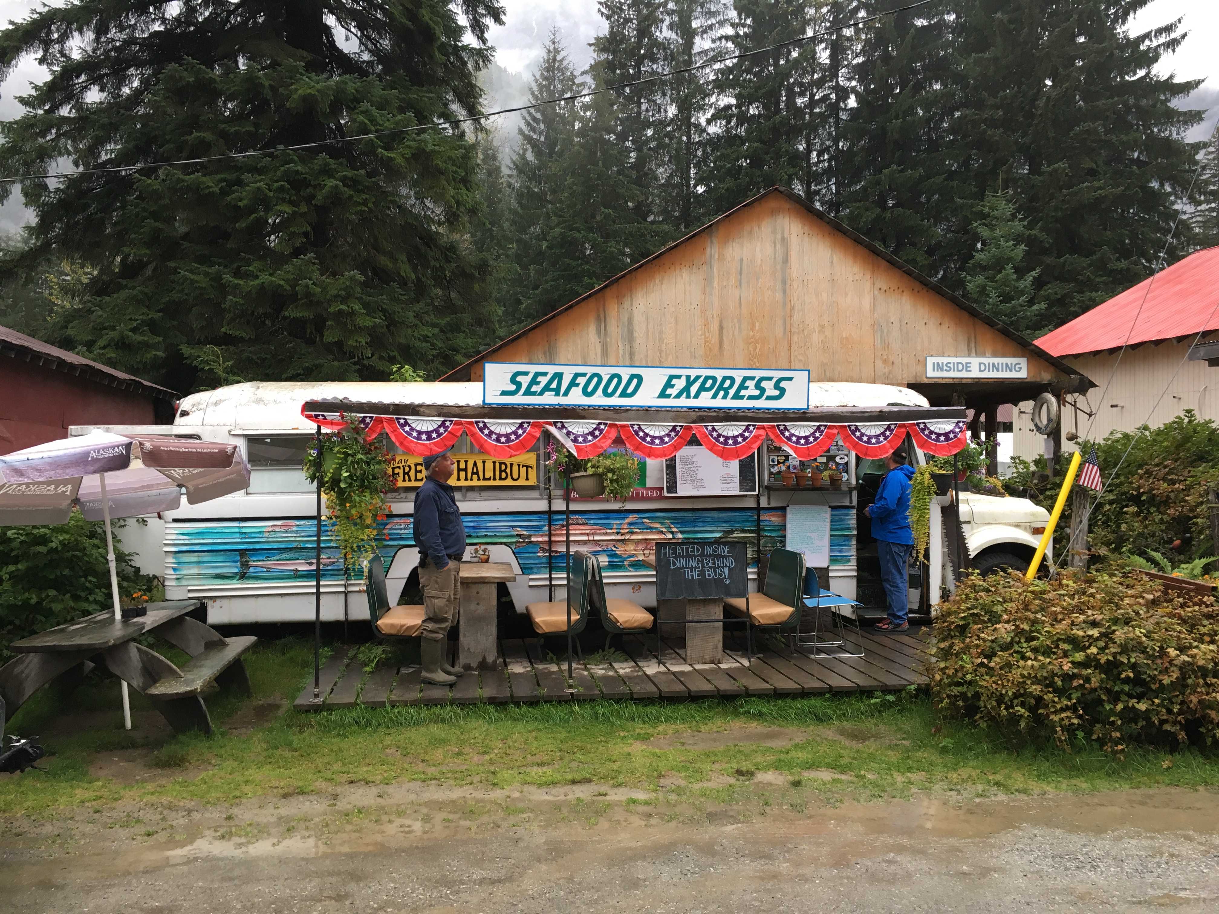
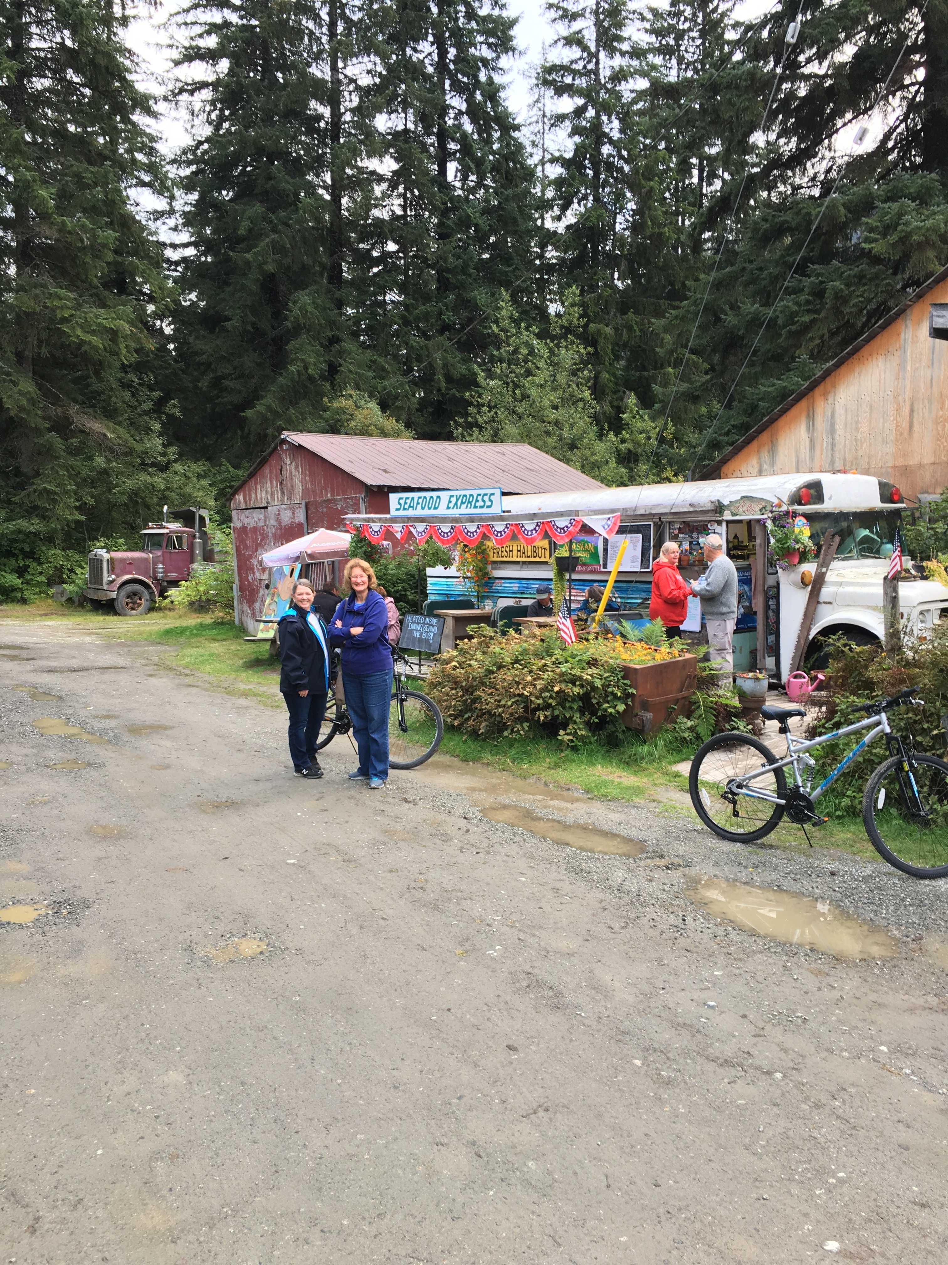
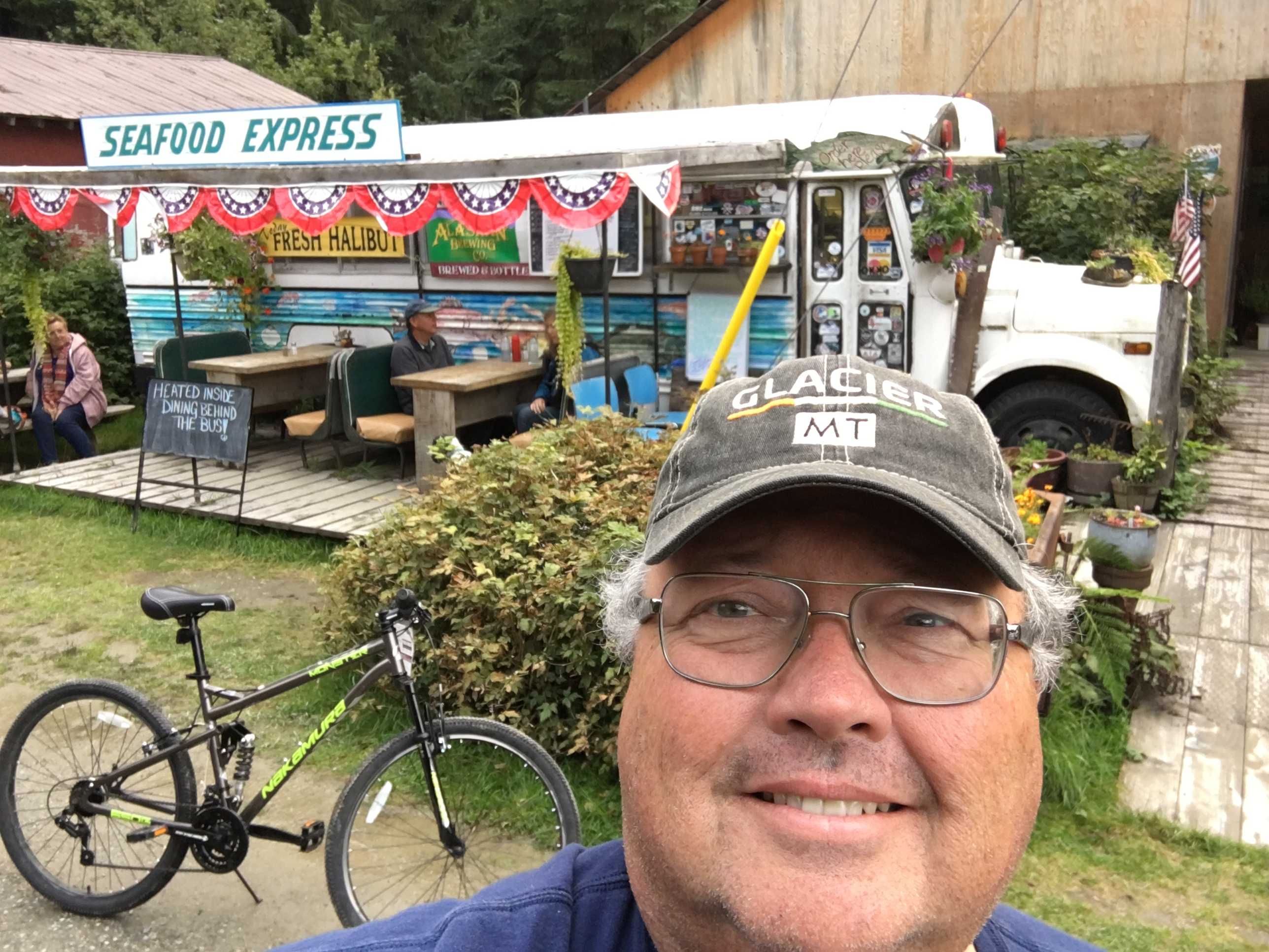
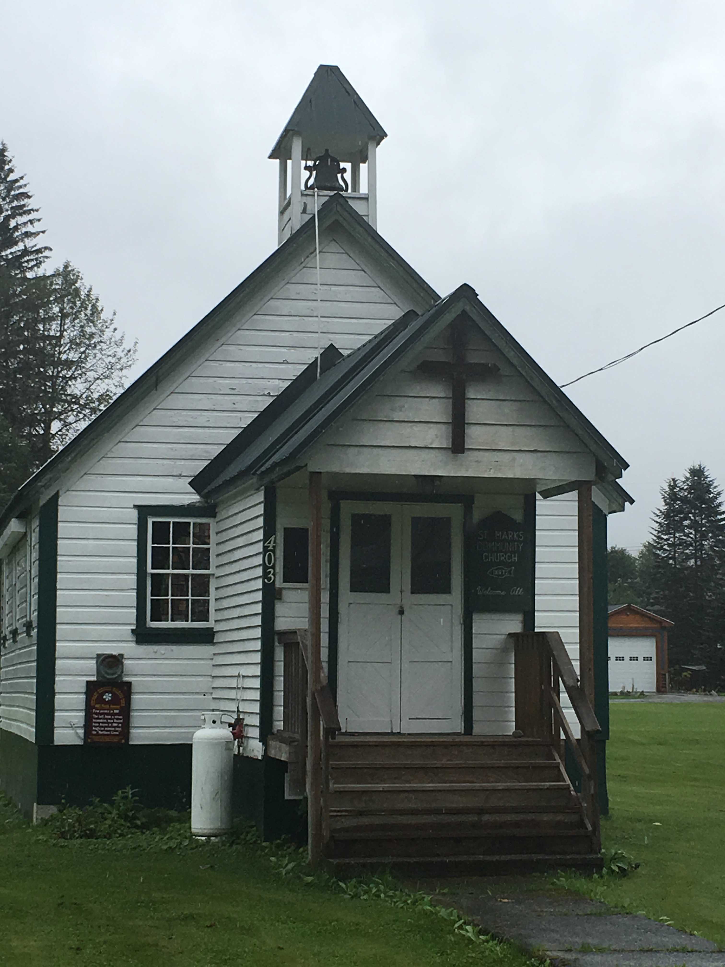
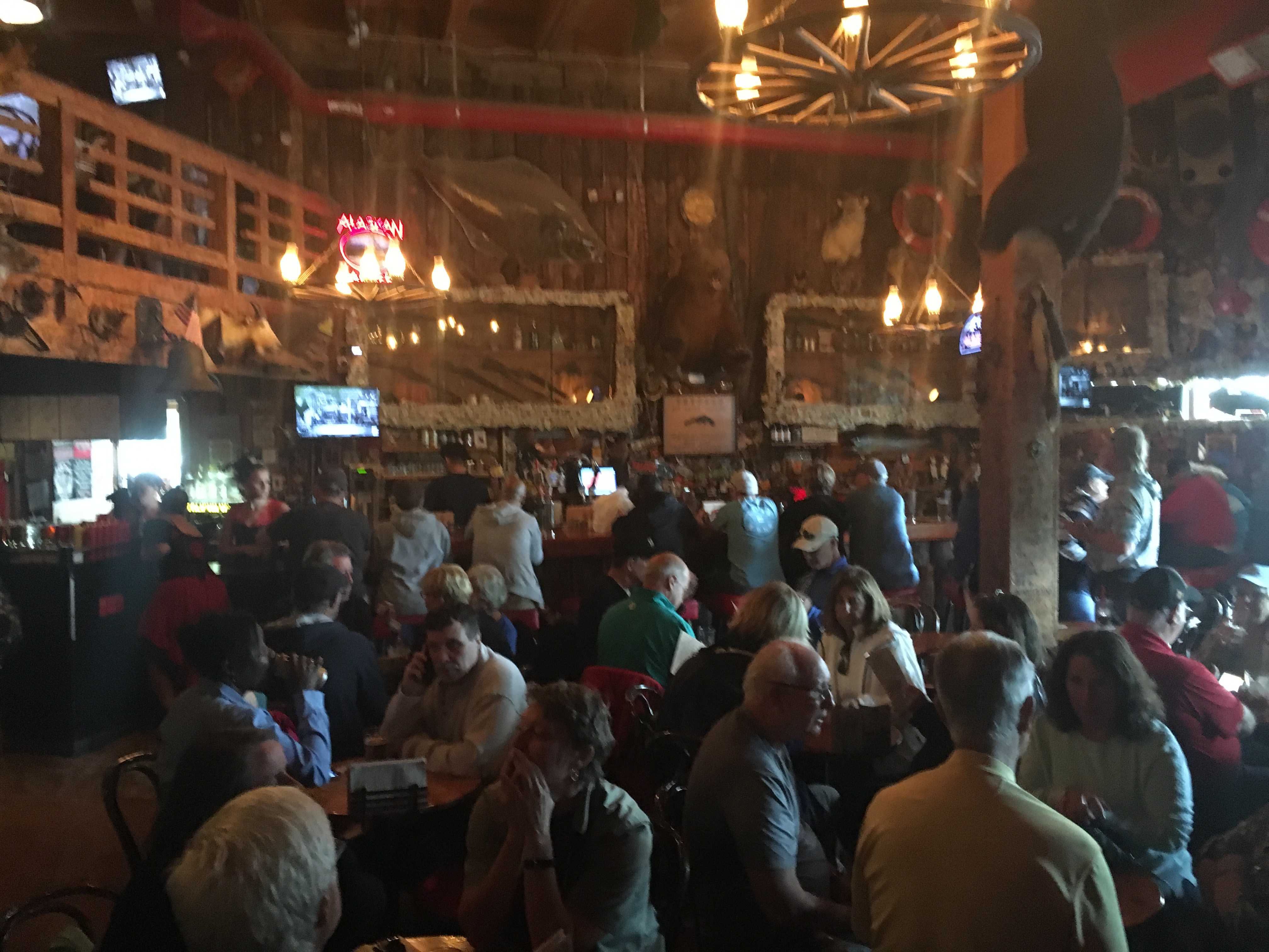
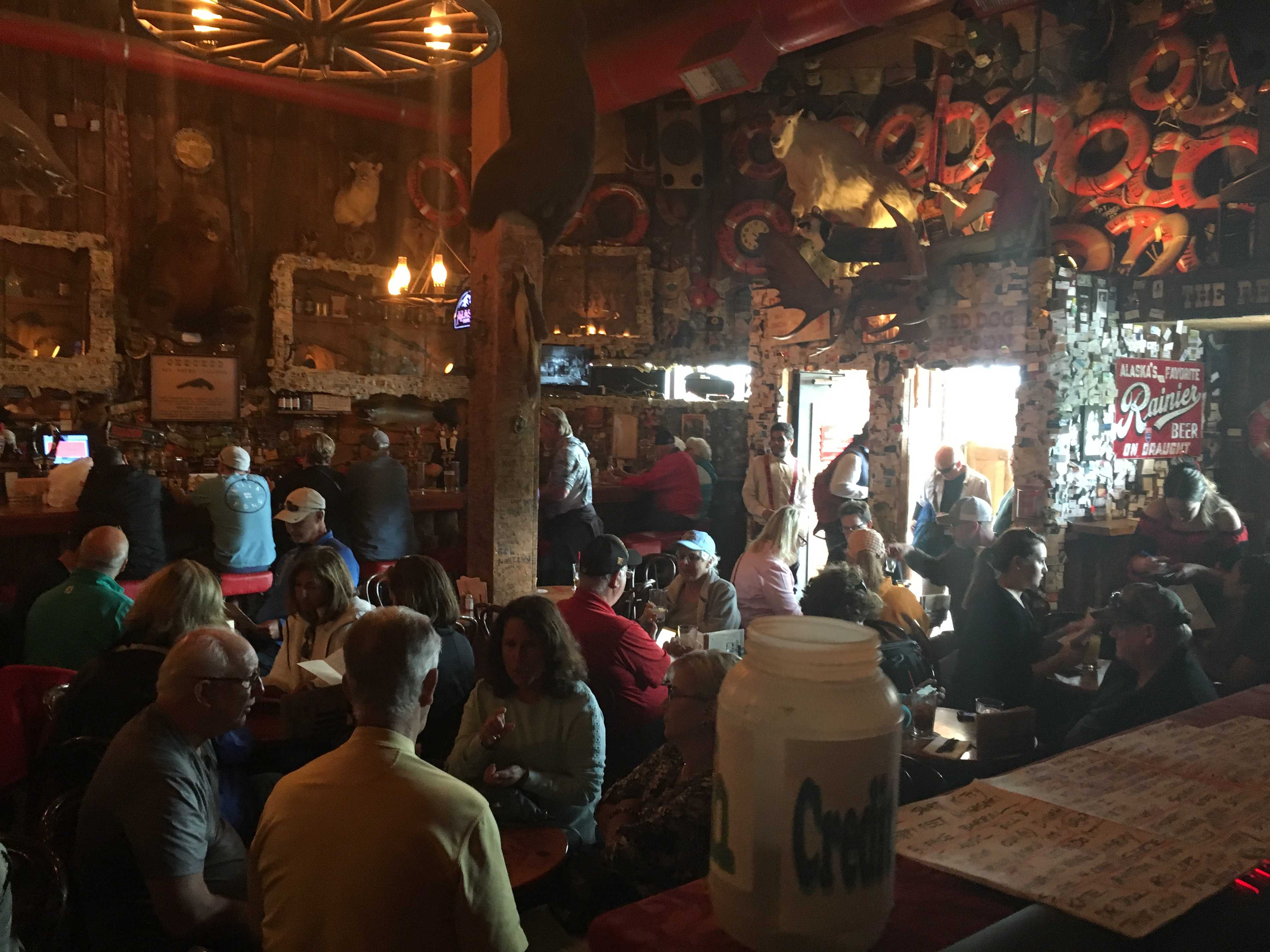
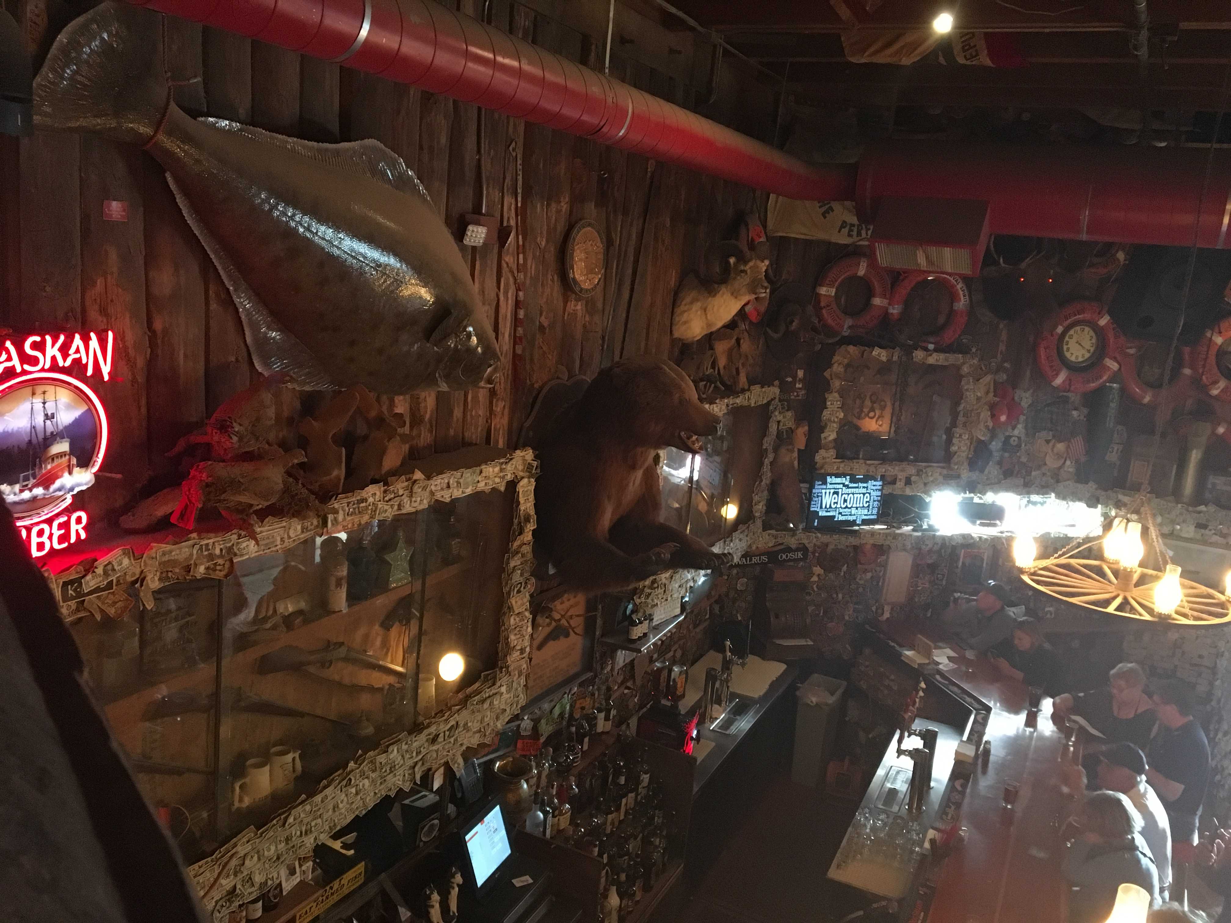
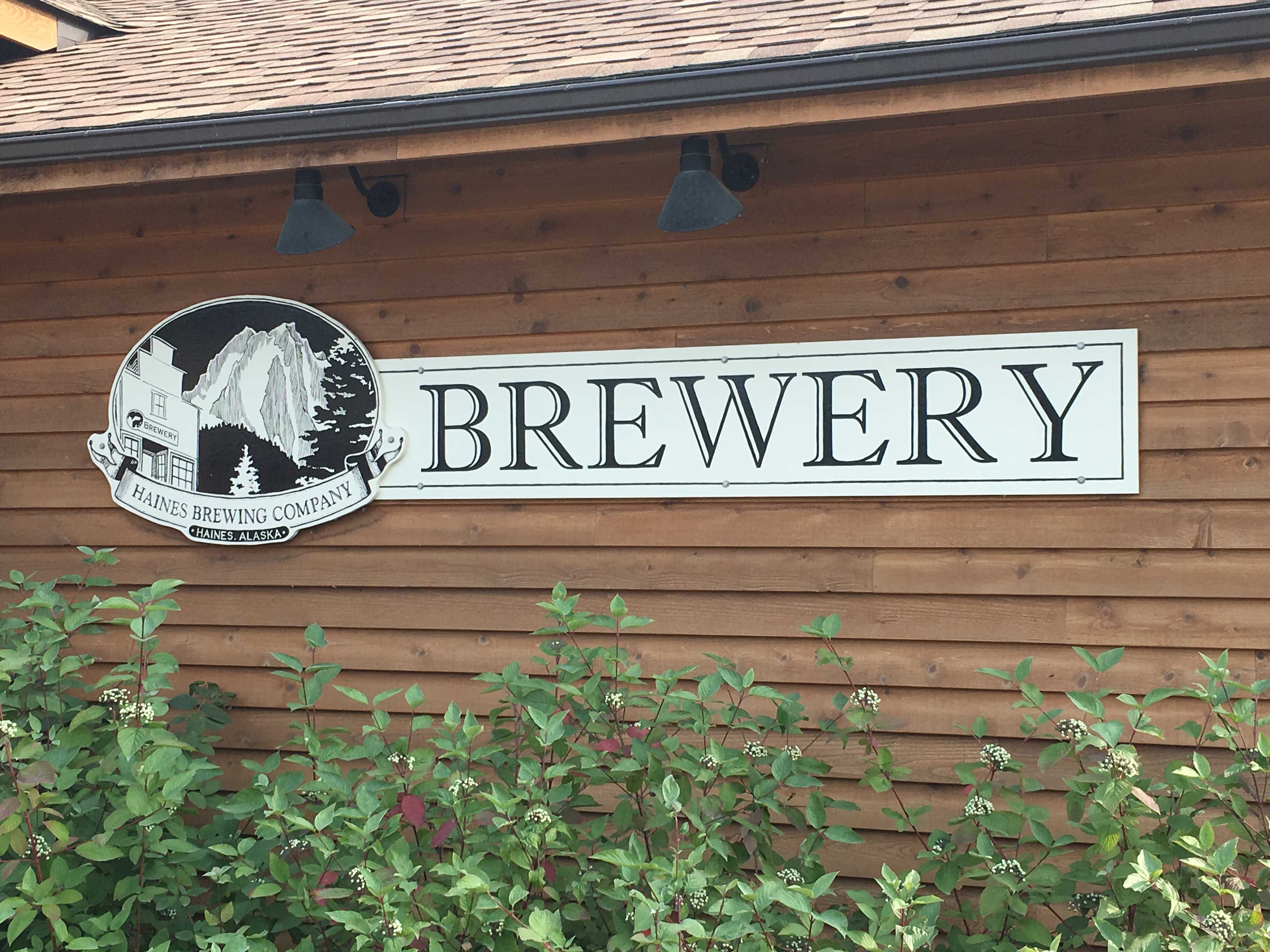
I then drove out of the park about a mile and checked out the local gas station store and a cafe behind it. The cafe wasn’t like anything I’d seen before. I walked into what looked like someones mud room, full of dirty boots. Thru a doorway I could see maybe 8 big picnic looking tables with really thick, maybe 4″ polished wooden tops. I walked back into the place a bit further and there was another long room with a similar arrangement and probably 5 guys eating steak and creole prawns.
The dinner looked really good to me. So I asked one of the guys where you ordered food. He said it was back in the kitchen and pointed the way. Sure enough, there was a large kitchen and on the wall were a few white boards with food you could order right from the kitchen counter. I took a few snapshots in case we wanted to eat out while here in river city.
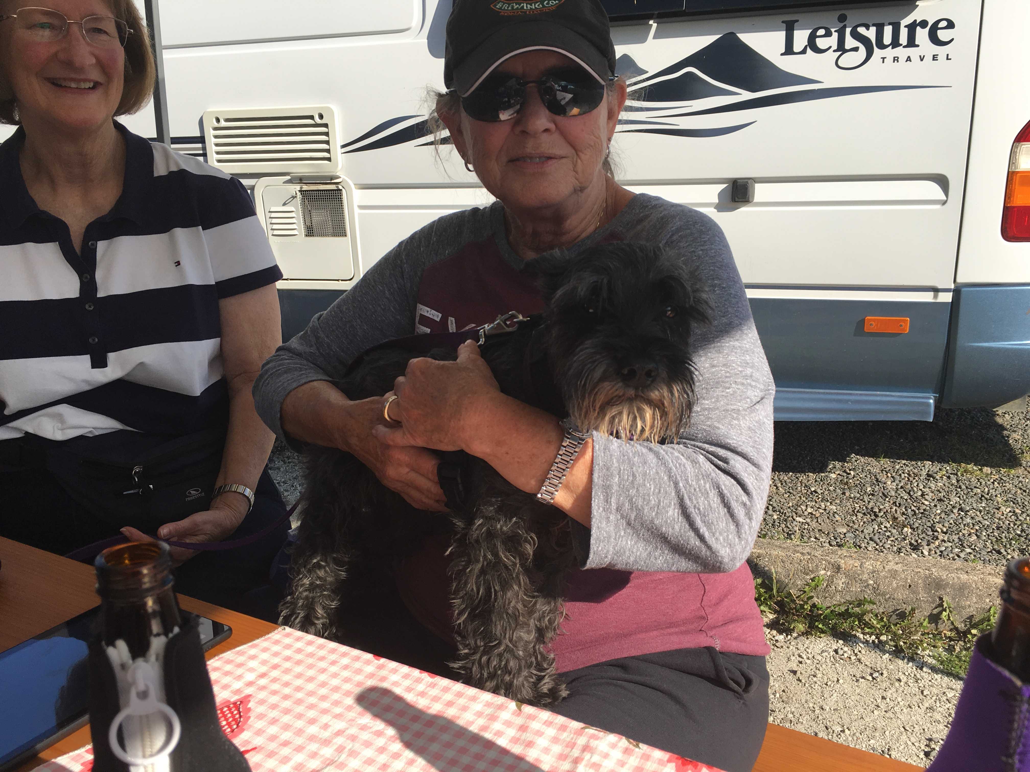 That evening Kathy and I carried our chairs over to Larry and Sue’s coach to have cocktails and a fire. A fellow camper who introduced himself as Chris came over to chat and then went and got another chair to sit by the fire. But it turned out wherever Chris sat or stood, the smoke followed him. That went on all evening, a few hours. Now he is known to us as Chris the smoke whisperer. Unfortunately for us he had to leave the next morning. We will miss him keeping the smoke out of our eyes.
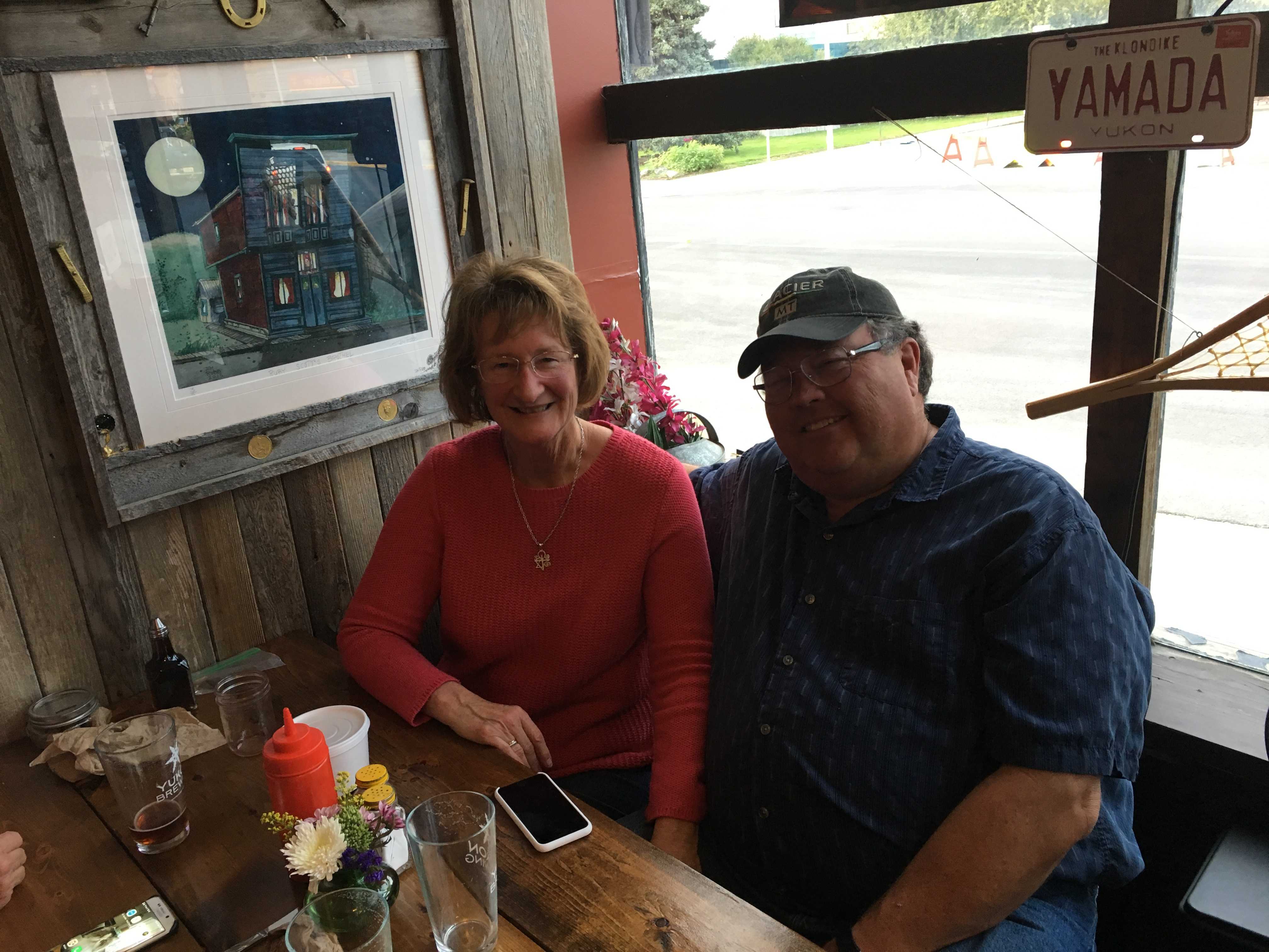
Friday, second day there, we met Dave and Brenda at Larry’s coach. They had met L&S in Muncho Lake but later had gone a different route, similar to our parting with them in Whitehorse to head up to Dawson City, and we eventually met them in Valdez a month later. We all talked Friday afternoon and after dinner met back over at L&S’s coach for a fire and more cocktails that evening.
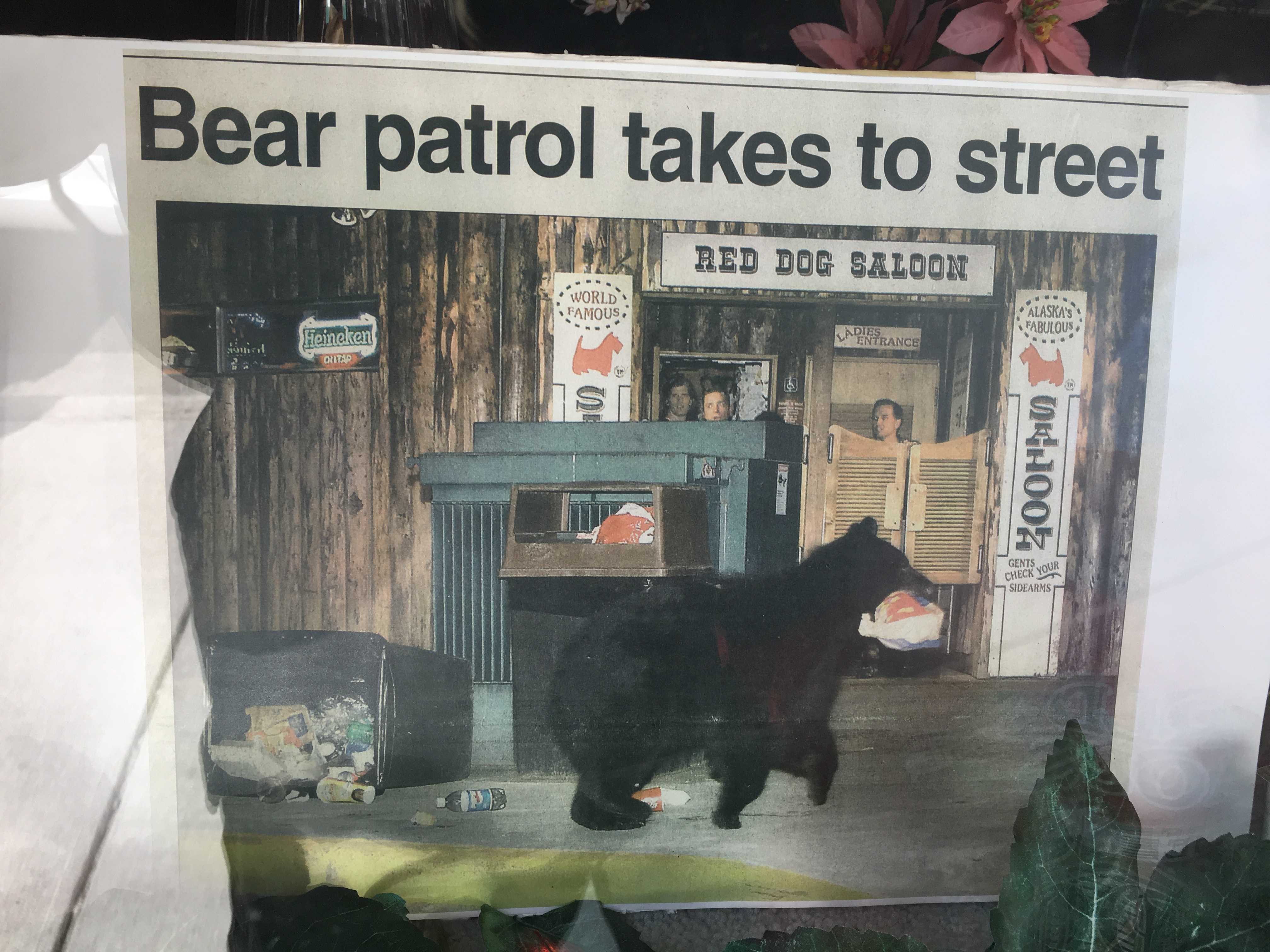
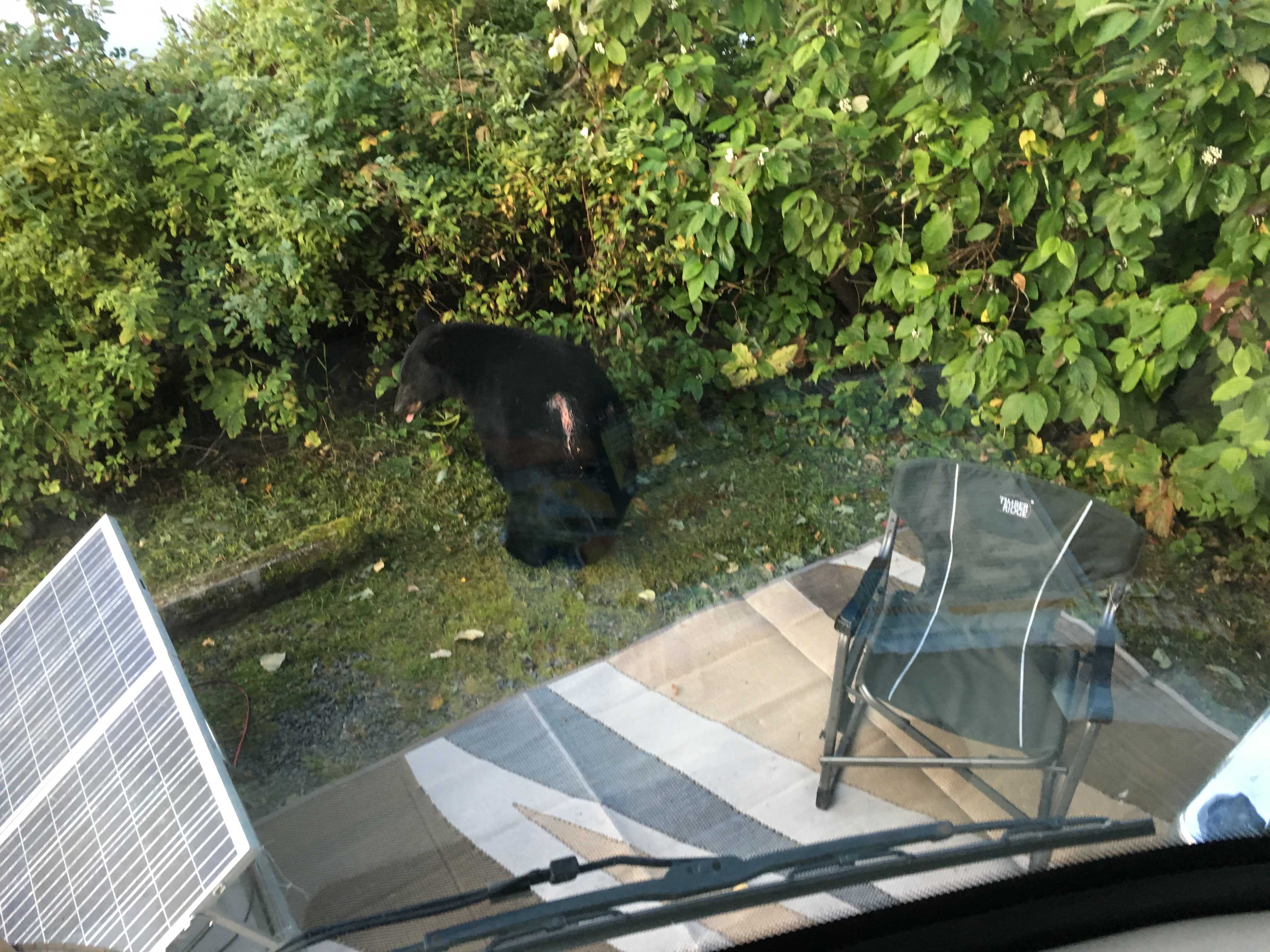 7 am Saturday morning bear encounter in our campsite. Holy Cow. Kathy’s trying to take Dusty for a walk and she starts yelling there’s a bear in our
 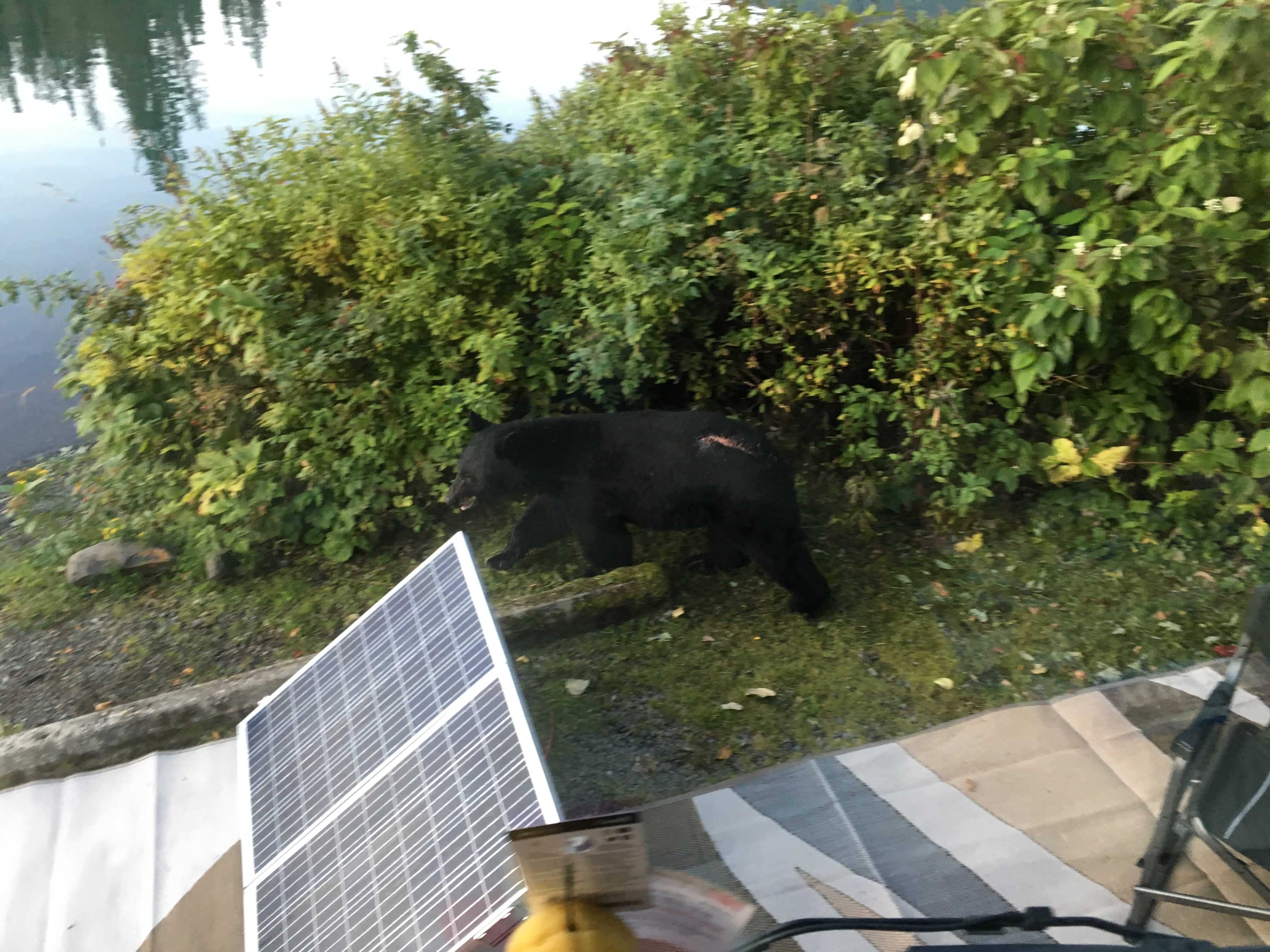 campsite, bring the camera. I take a few snapshots out the windshield and Dusty gets up on the drivers seat to see what all the commotion is about and inadvertently puts his f
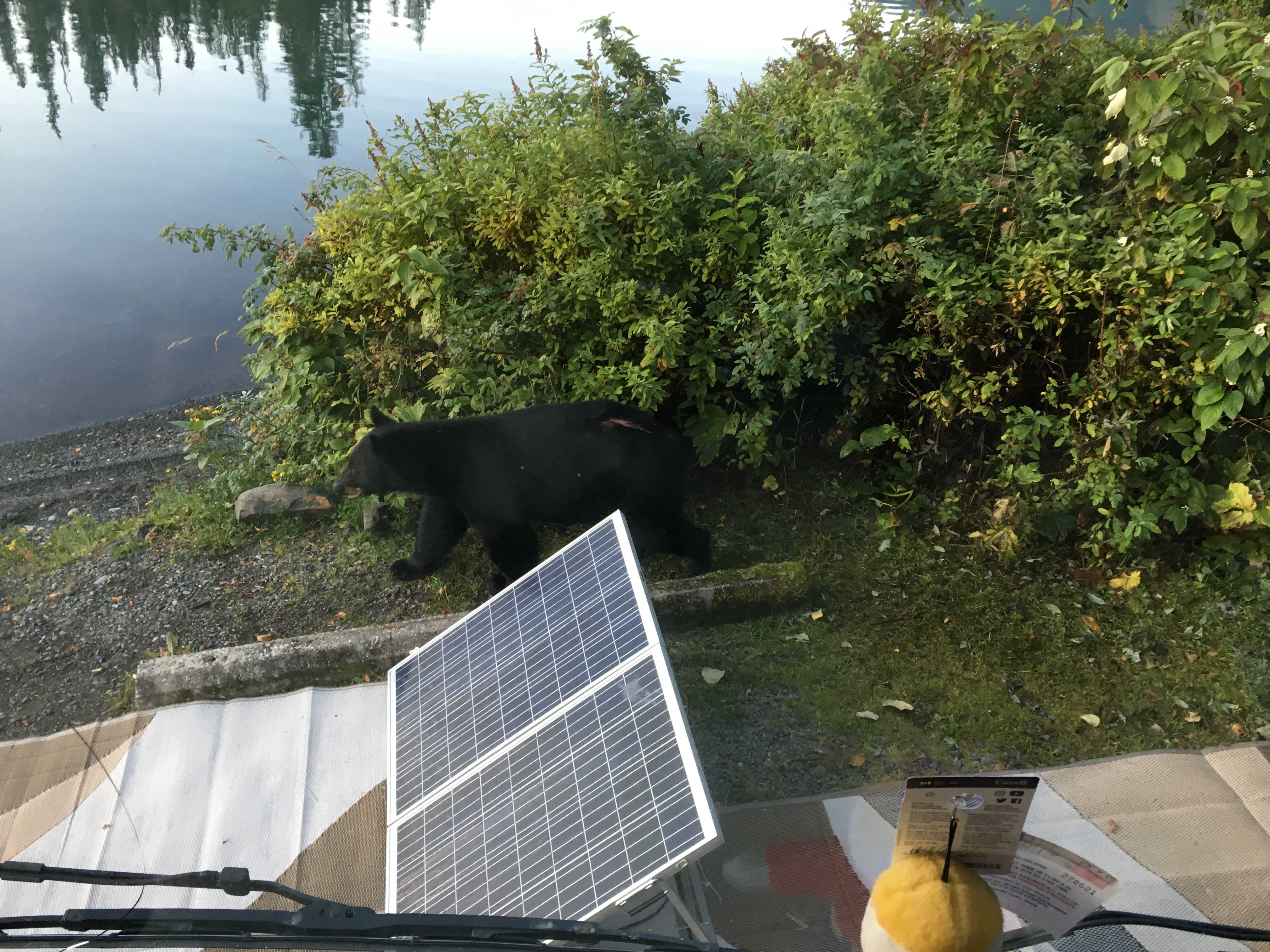 ront paws on the horn when he spots the black bear a couple feet away, which startles the bear and it runs around the bushes a few feet in front of the bus. We did want to see bear, just not sure them being that close was our intention!
Right after that the trailer in the space next to us left. It was another FCFS site and the site was a bit longer than ours and had a bit better view, but most of all it would receive more sun than our very shaded site (after 1 pm each day) So we packed up and moved one space east to Site 31. Right now, as I am writing this at 2pm, the sun is still shining on our solar panels and generating 20 amps to the batteries.
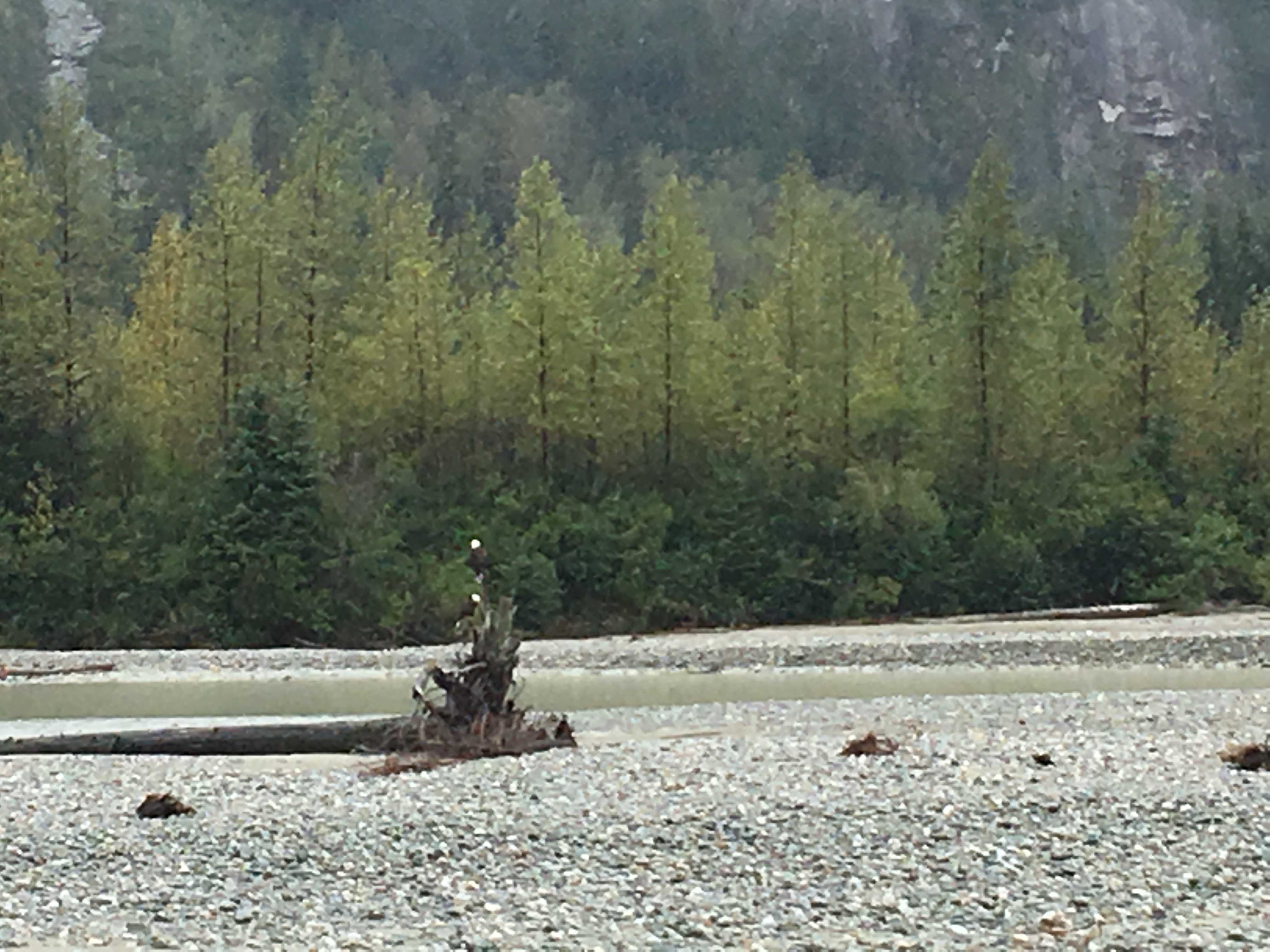
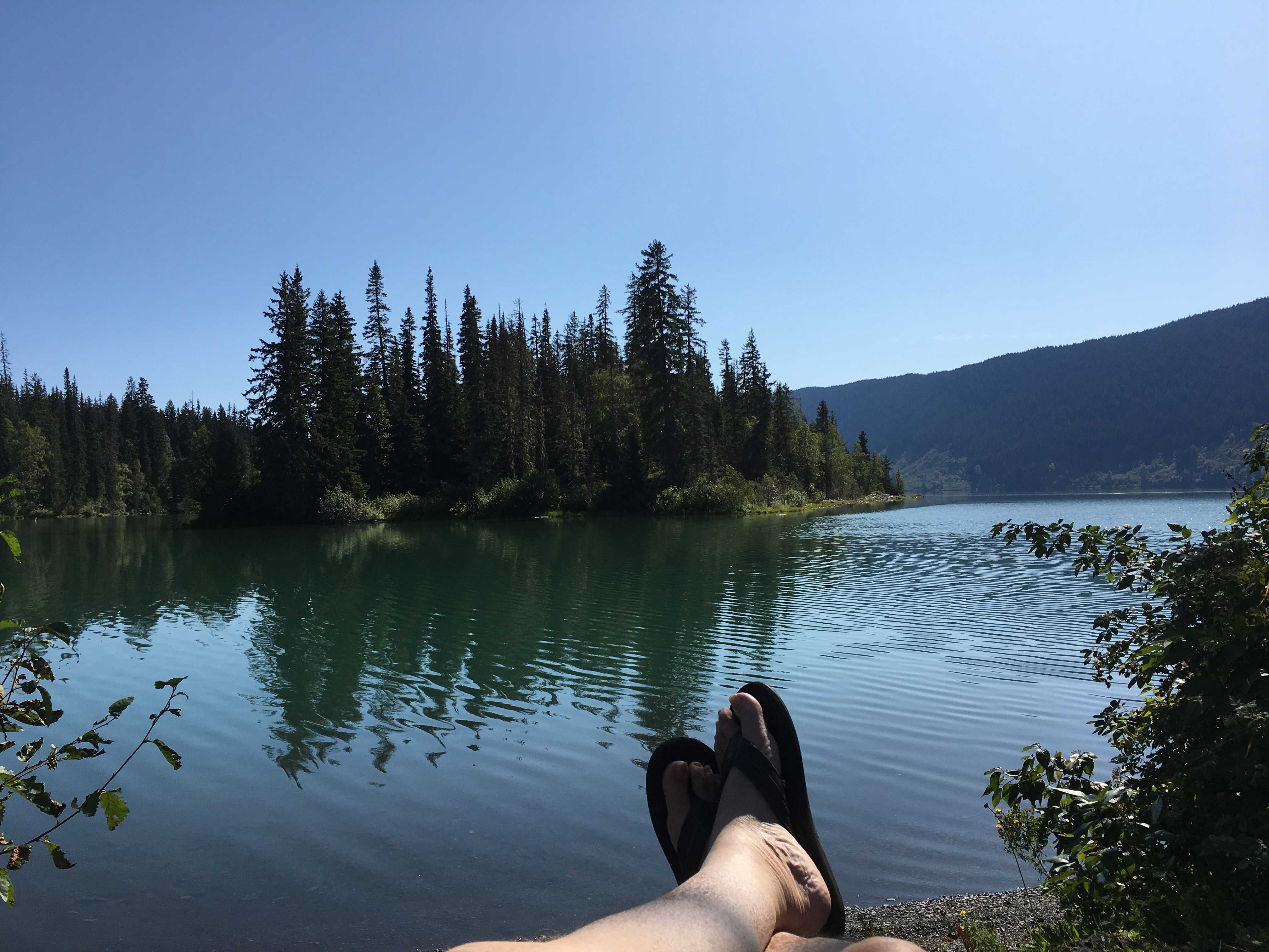
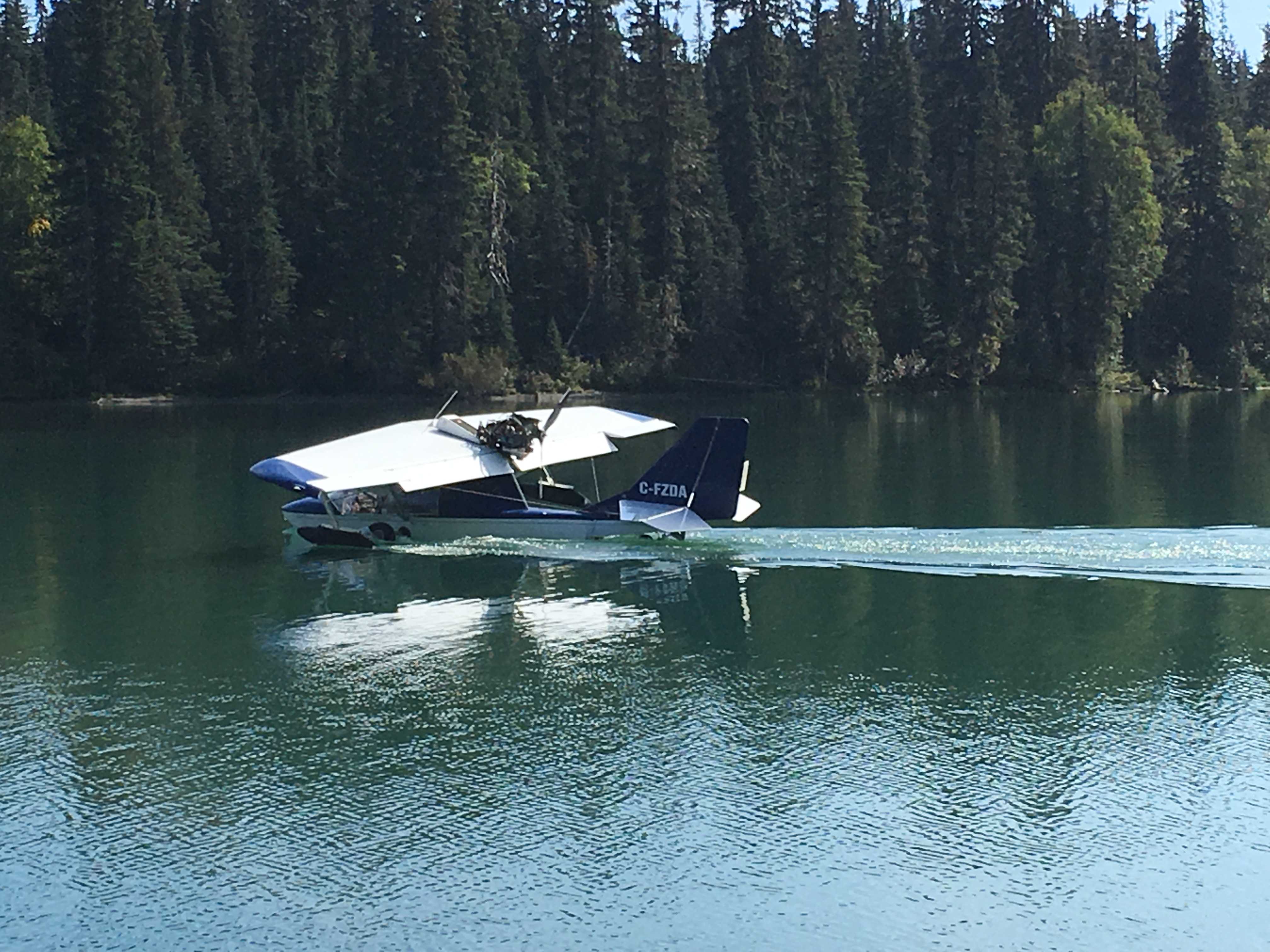 This afternoon while I was snoozing on the recliner next to the lake, I awoke hearing a new noise. It didn’t sound like a jet-ski or boat motor at all. Then I turned my head and a plane dropped out of the sky and landed on the water just in front of us. It then taxied over to the beach about a hundred feet to our left and parked there. It was a different
 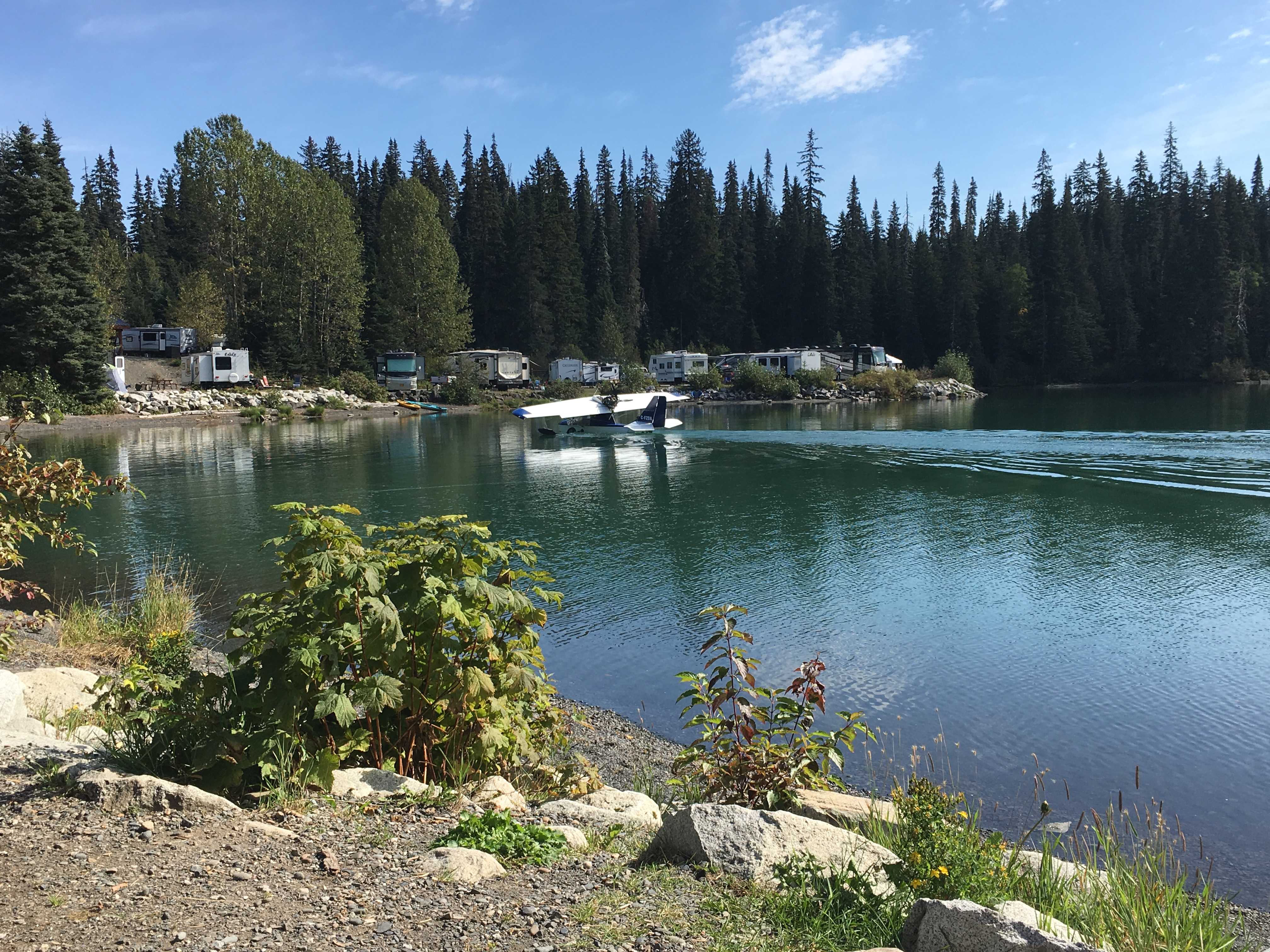 type of float plane than the normal ones I had been seeing all over Alaska and Canada. This one had the floats hanging off the bottom of the wings and the fuselage sat directly in the water like a boat hull. The prop was up and behind the cockpit, so it pushed the plane instead of pulling it along like most planes we see. It was there a couple of hours and then took off. I was astonished how quickly it got up and out of the water, looked like less than 100 feet and it was flying away.
On Monday morning there was a mass exodus from the campground. We took that opportunity to move to a site that provided electricity. We had been struggling to get a full charge into the batteries due to the limited sunshine caused by all the shade trees. After this experience I am considering replacing our batteries with lithium ion type. They are supposed to be able to take the full output of our panels, where the lead acid type can only take the full output up to 80% charge, then it tapers off quickly, and all that time the sun is still shining but not going into the batteries anymore.
Moving to a site with power was a good move. No more issues getting our second cup of Joe early in the morning prior to generator hours.
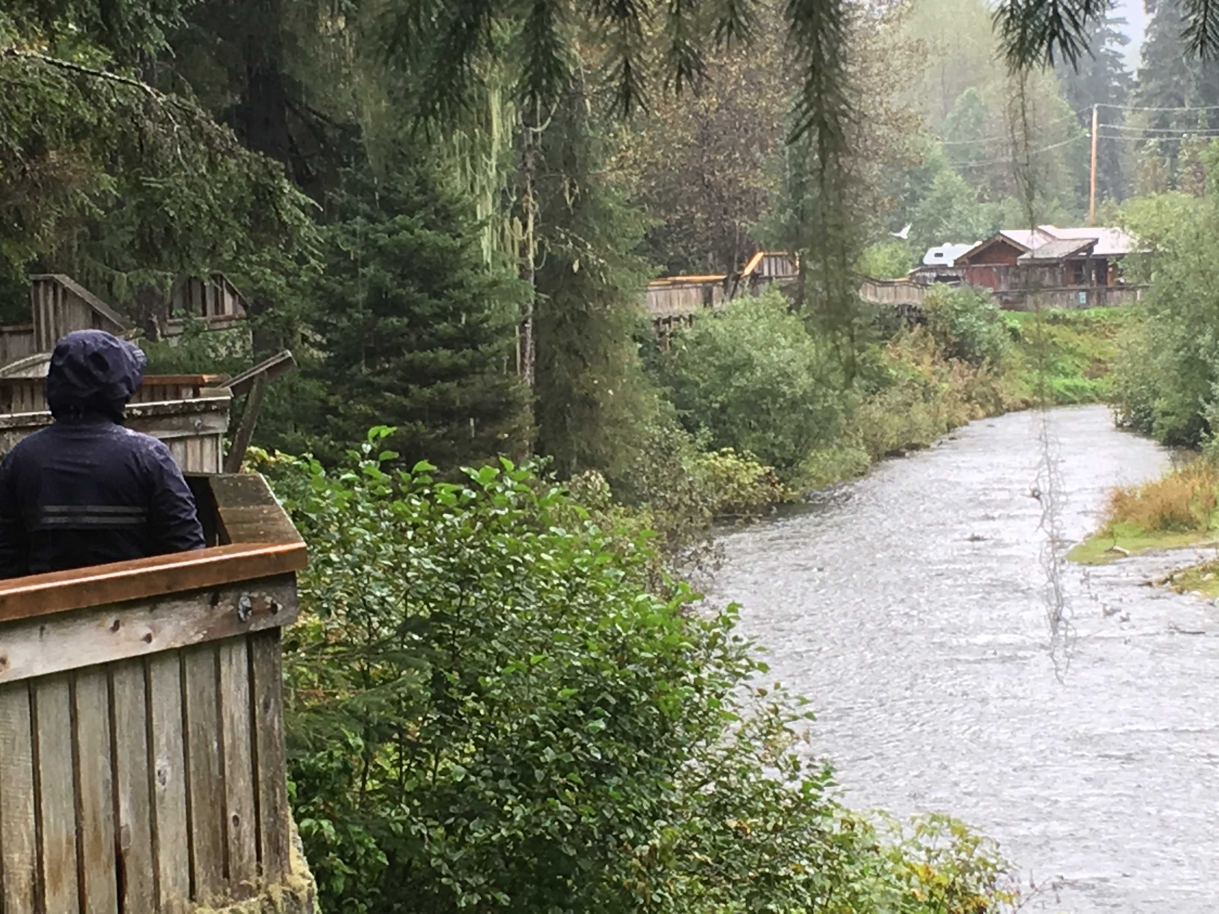
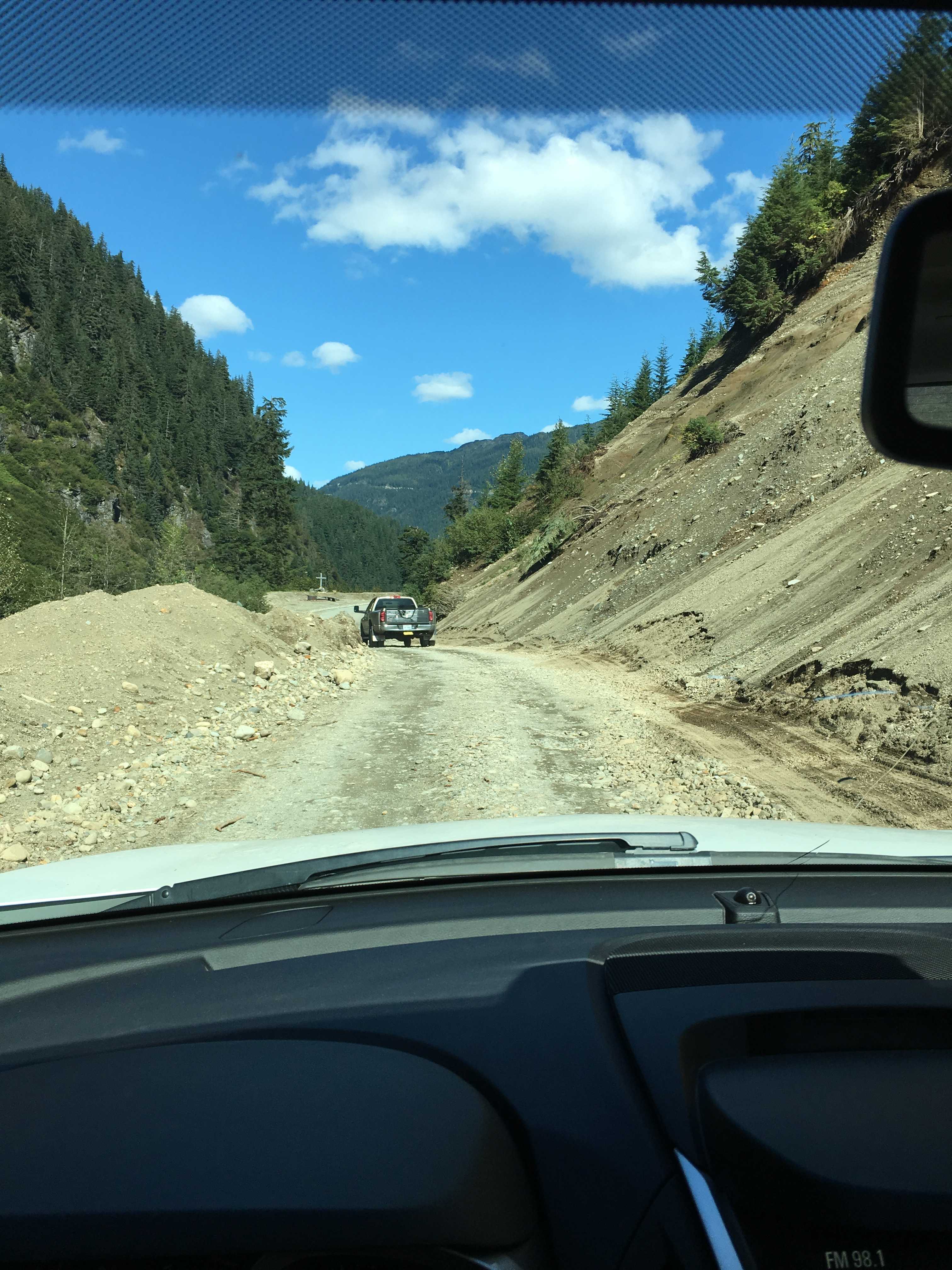
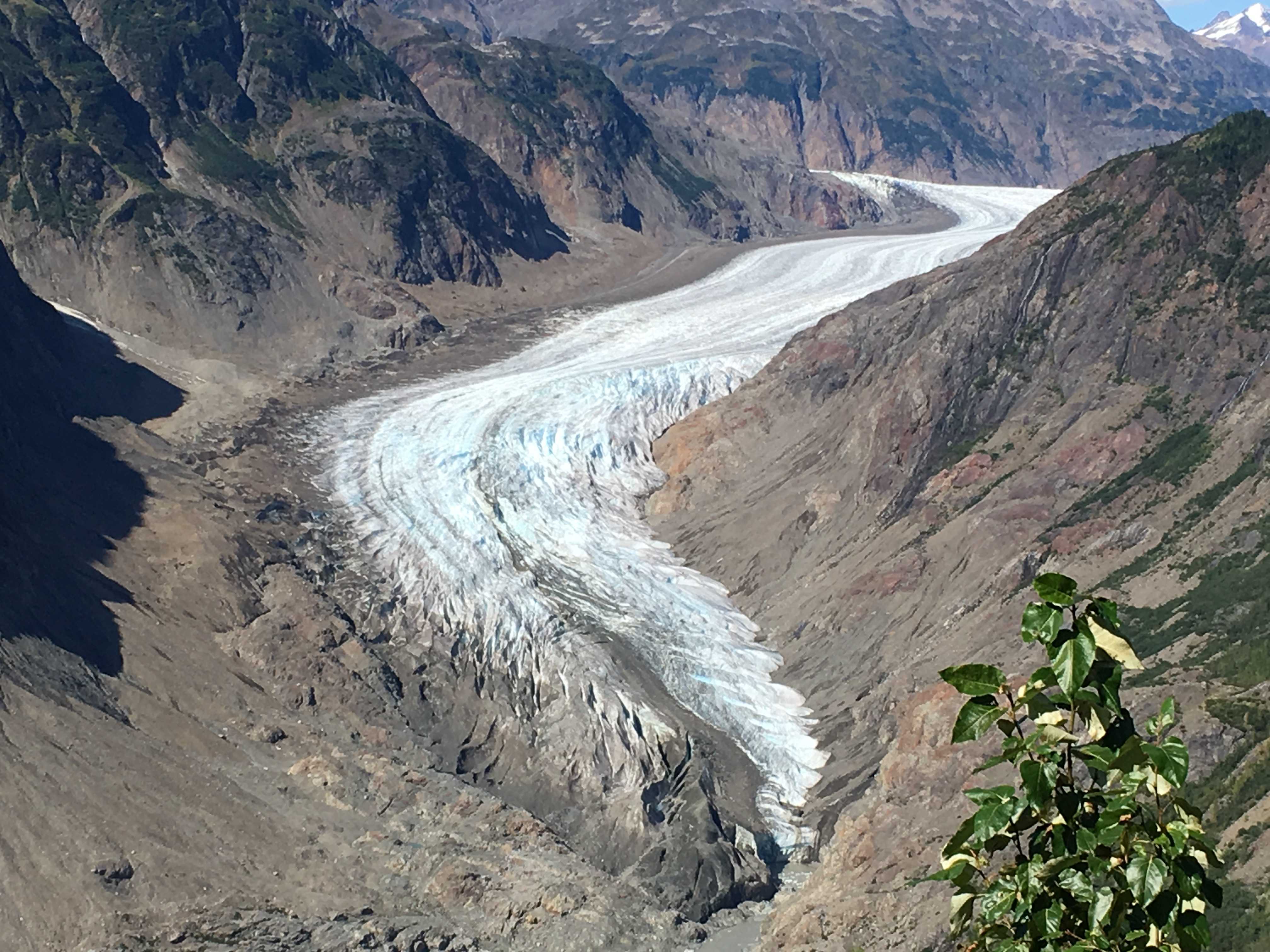
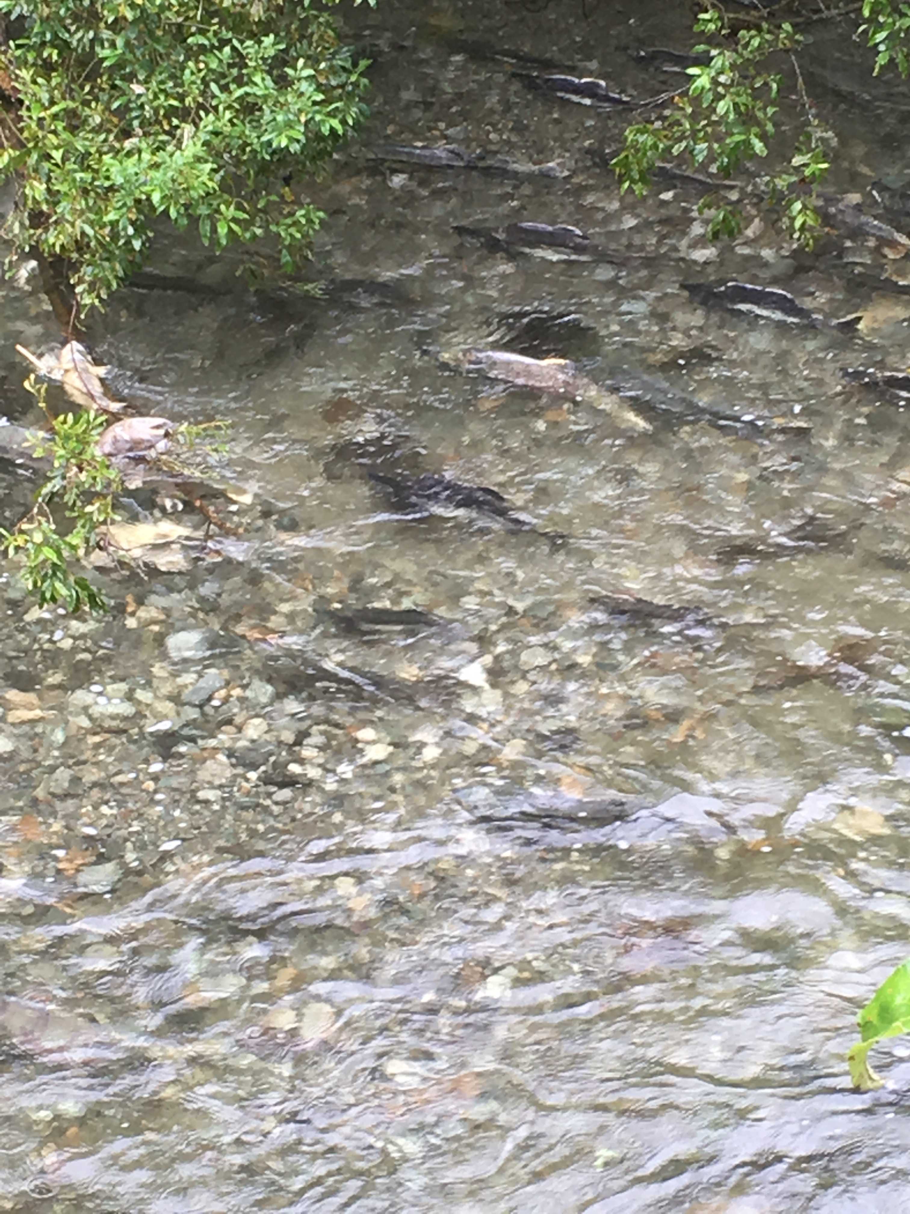
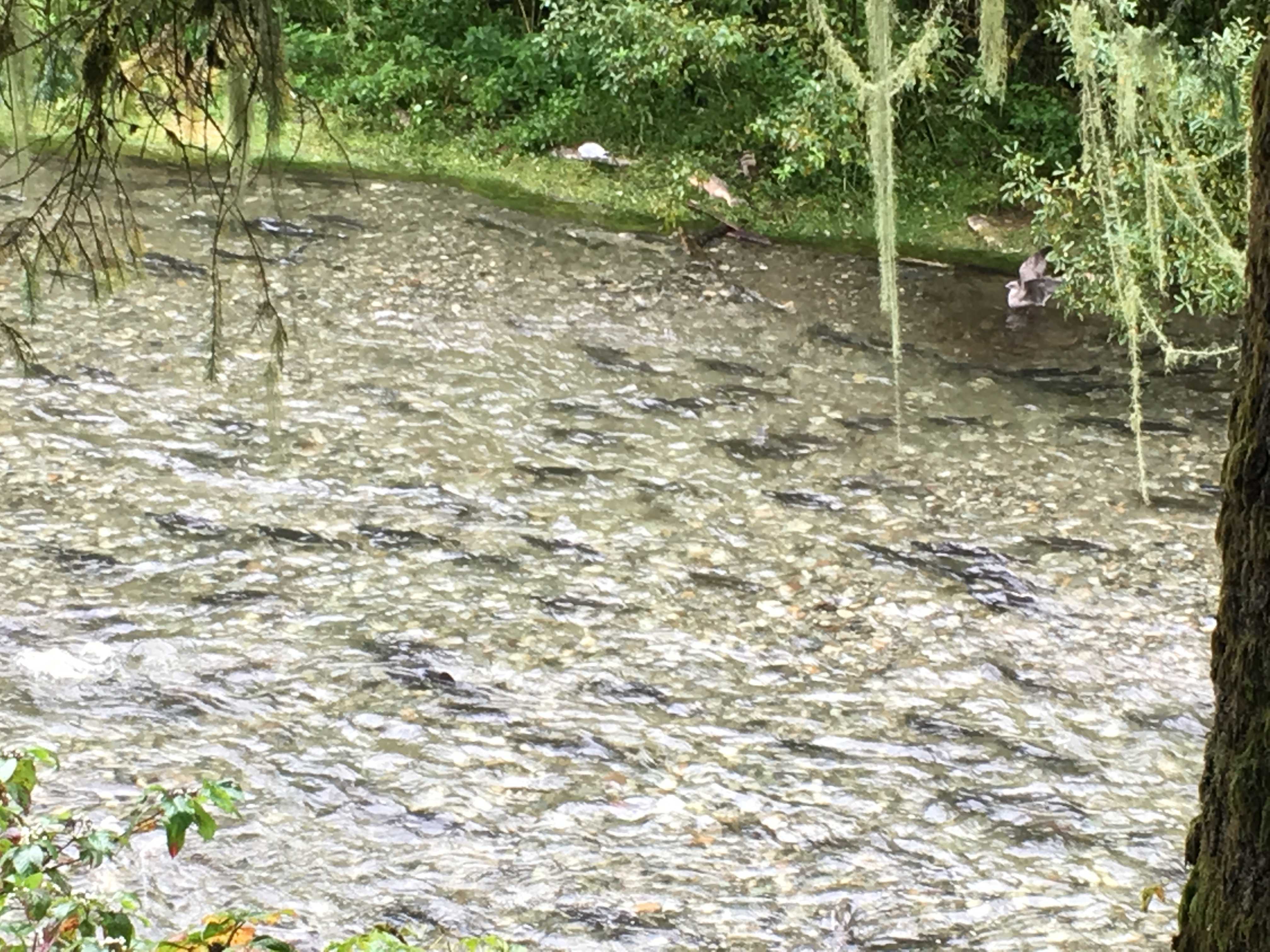
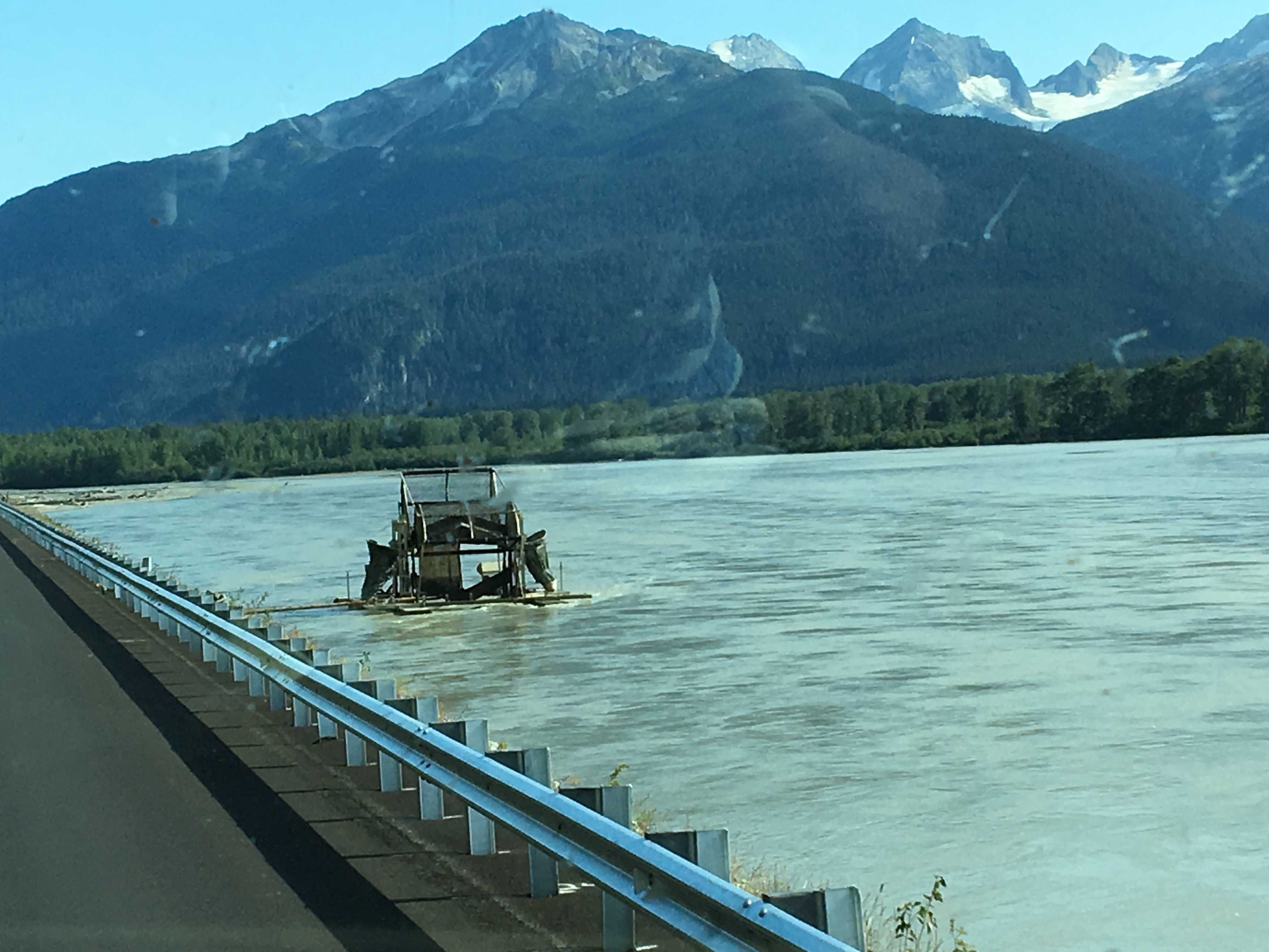
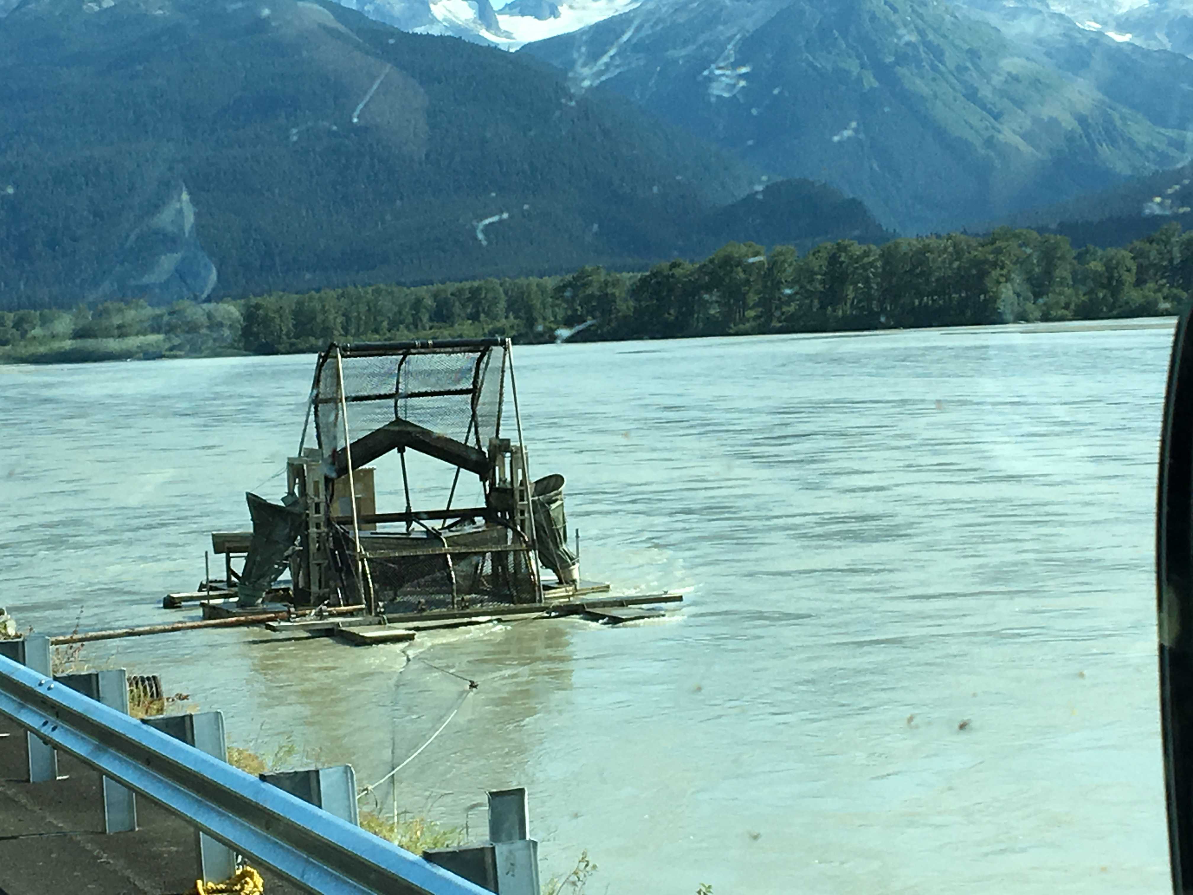
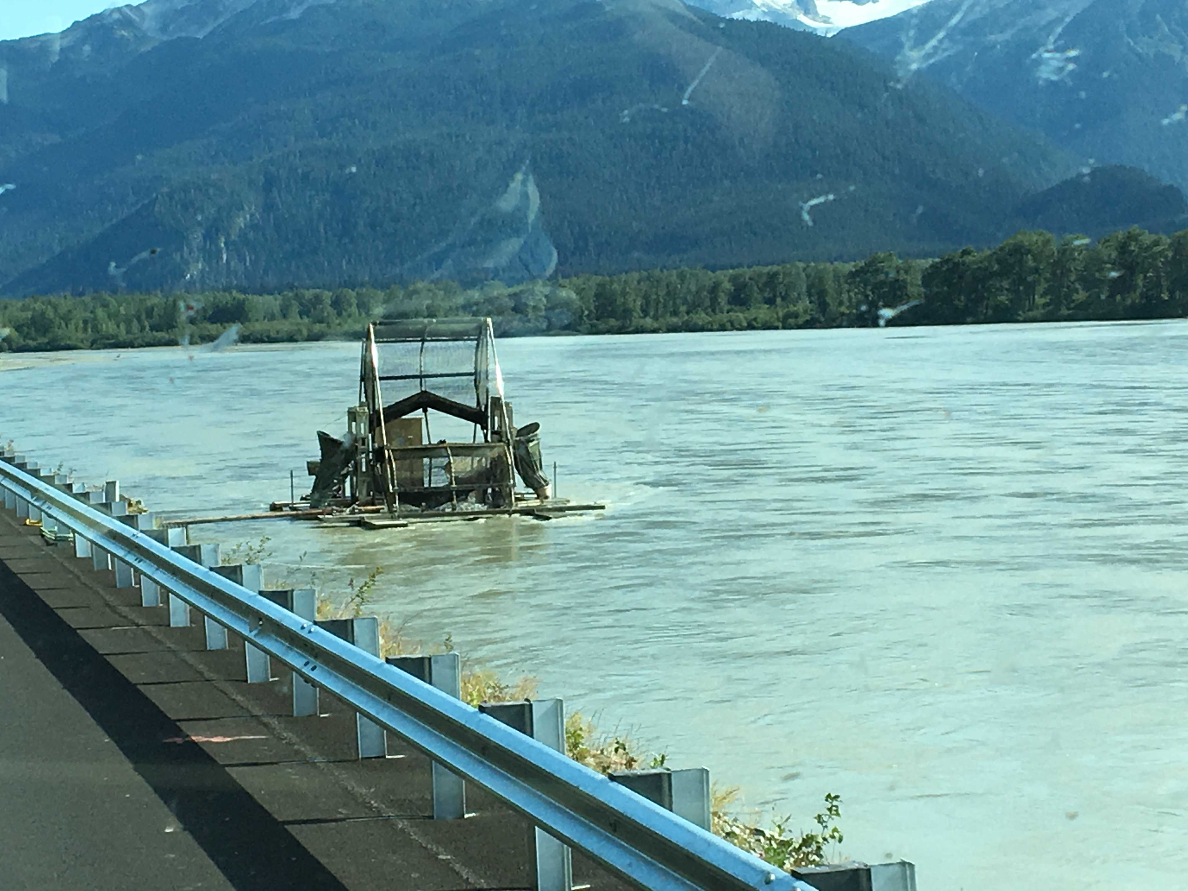
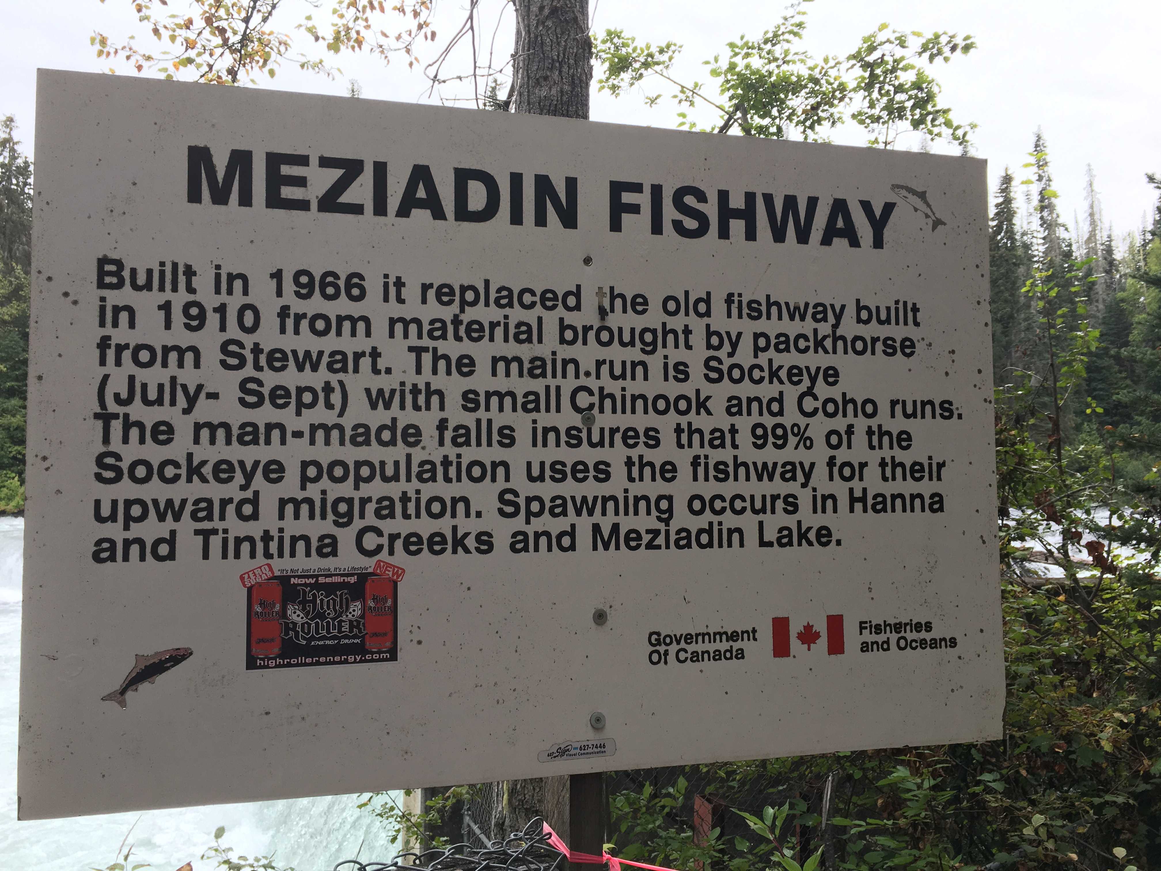 Tuesday we headed out to find the fish ladder on the outlet of Meziadin Lake. We found it way down a potholed gravel road that kept getting narrower as we
 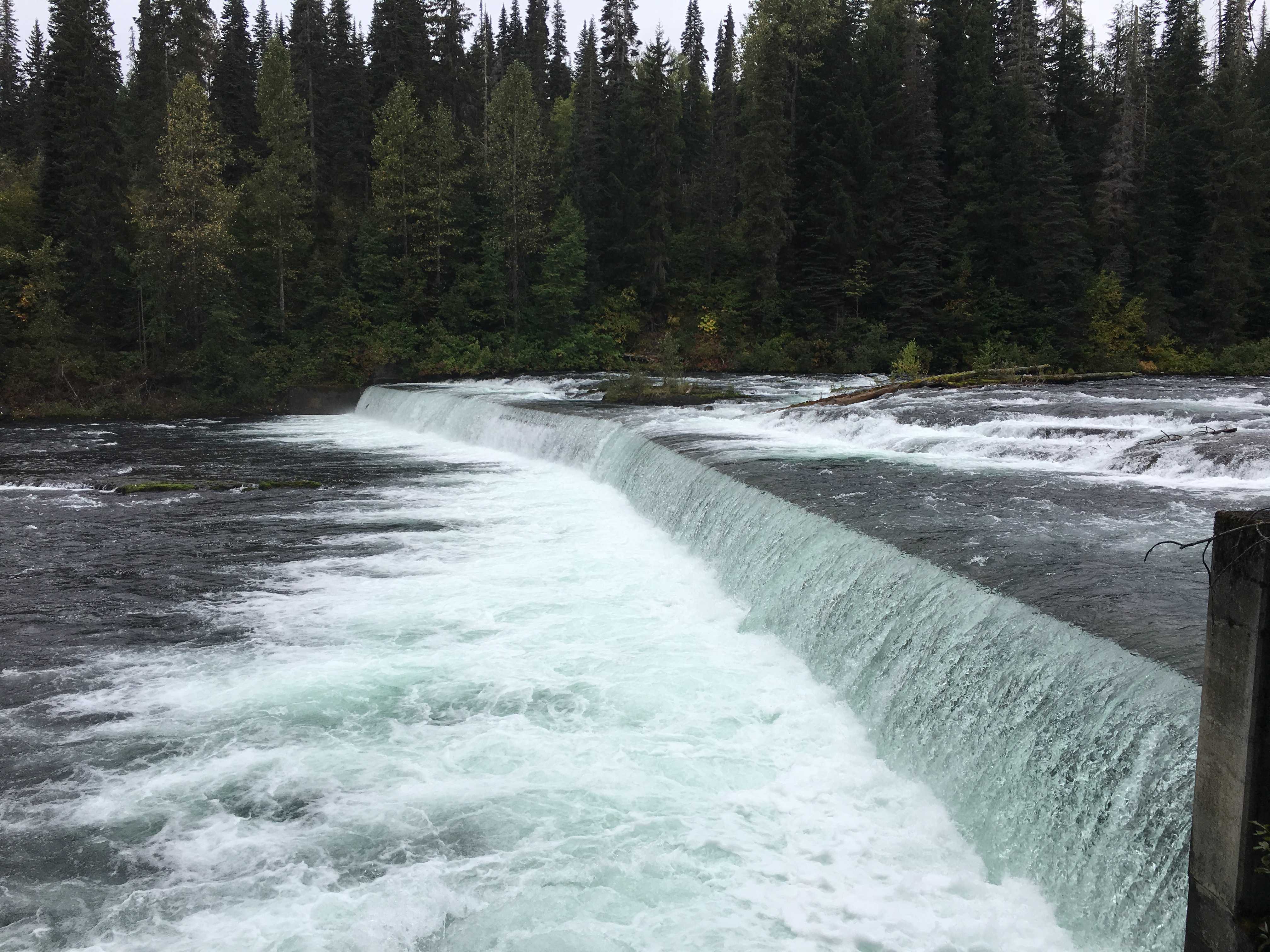 drove further into the forest. We did find it finally and it was at a large waterfall, and the ladder was just a small opening off to the side of the falls. There were some fish trying to get up the falls, but we never saw one get past it. I was talking to the guy that uses a big net to get fish for his village. He was telling me that the fish from there provides 80% of their food.
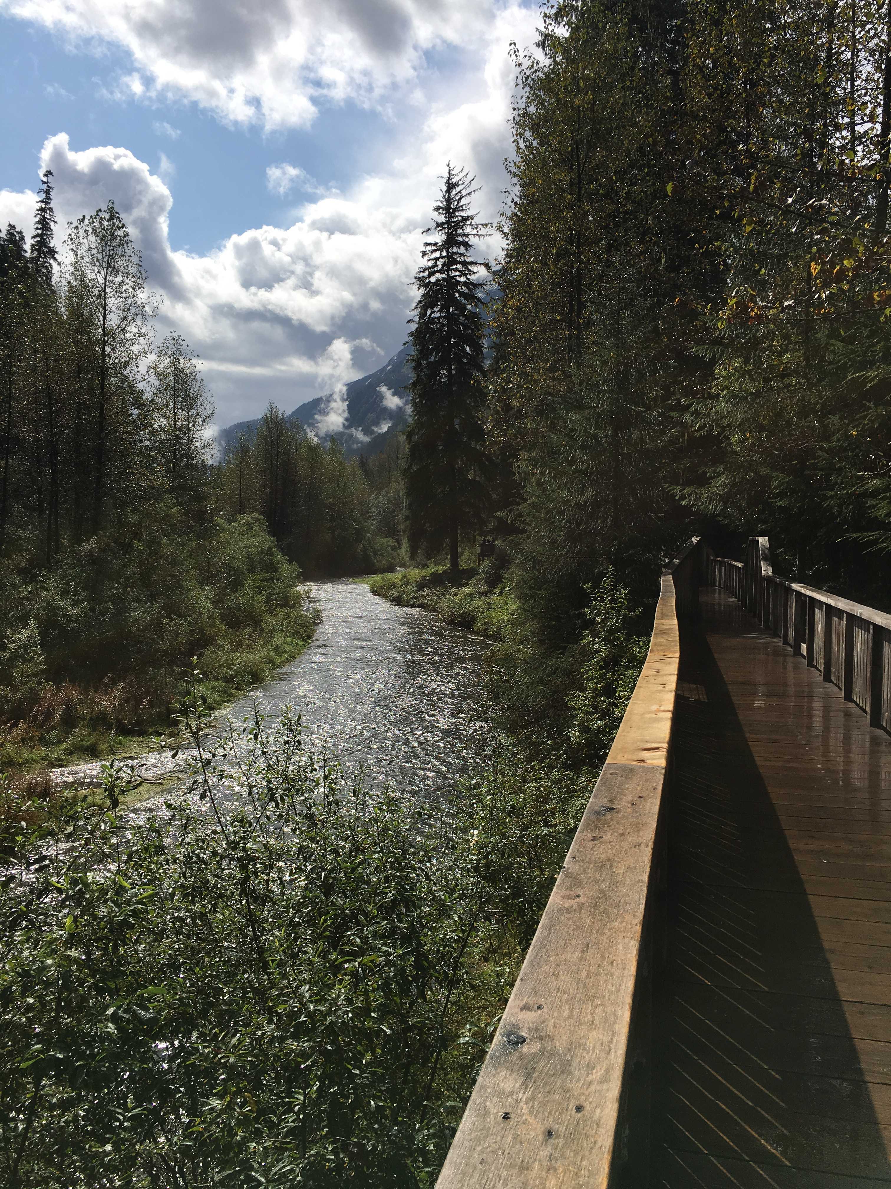
We had a lot of downtime here, watching Larry and Sue fly fish, Kathy even joined them in skipping stones in the lake, and we all played Yahtse one afternoon!