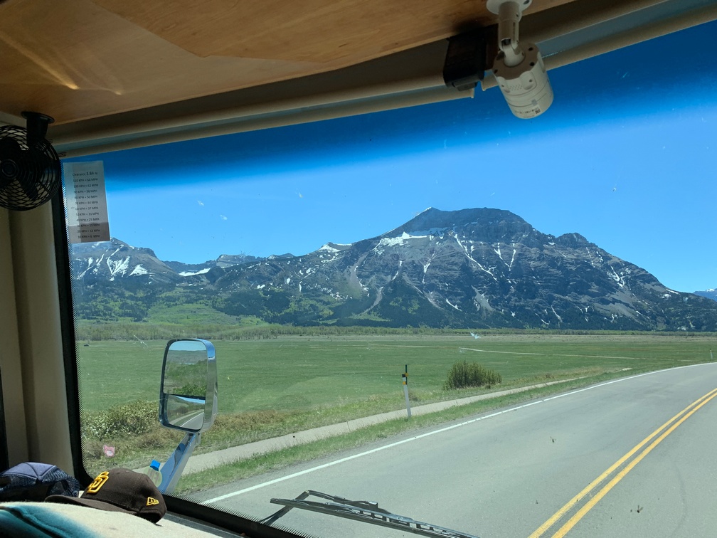
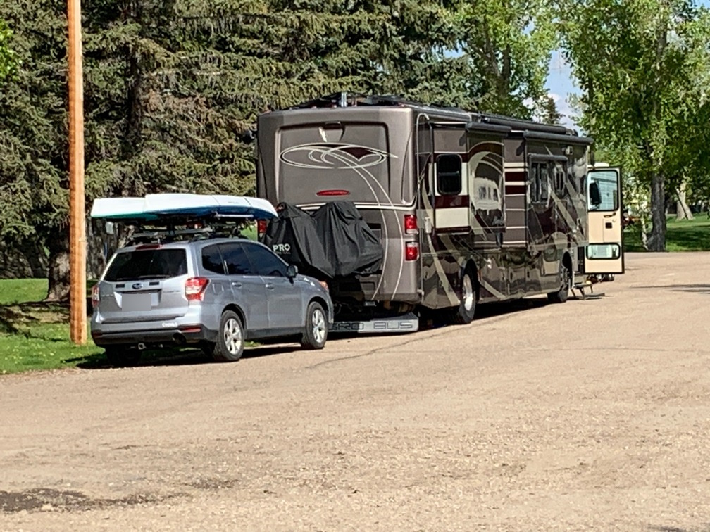
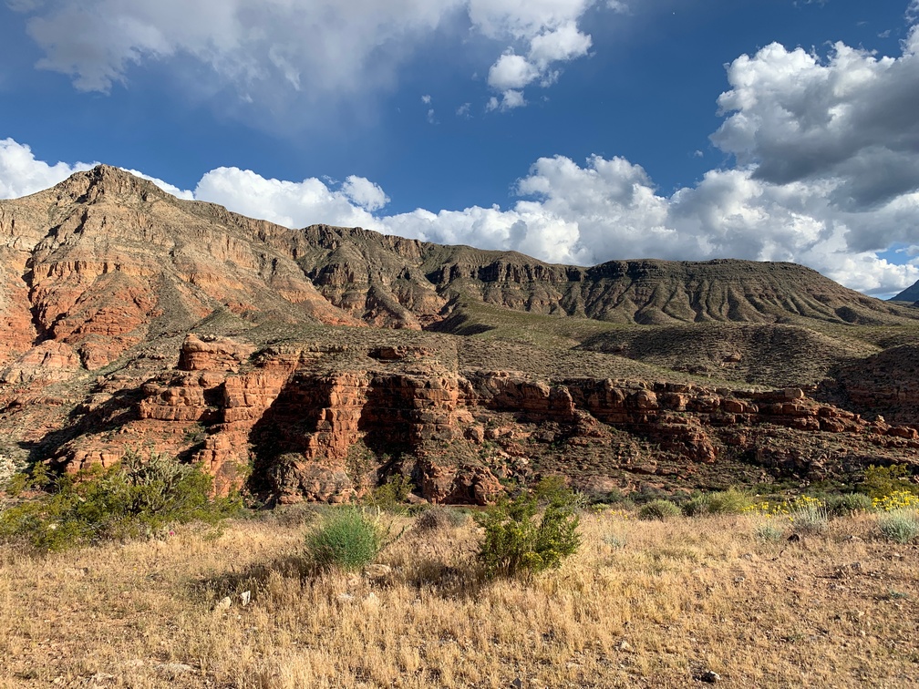
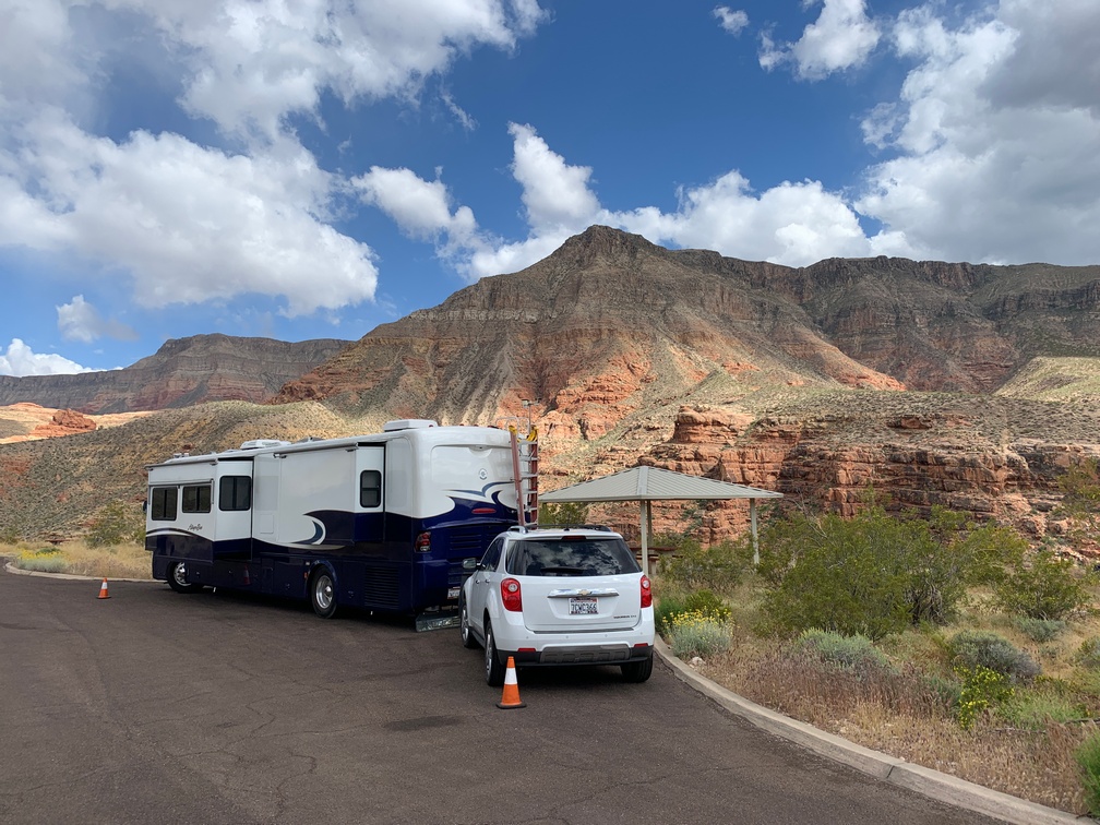
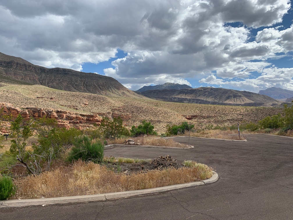
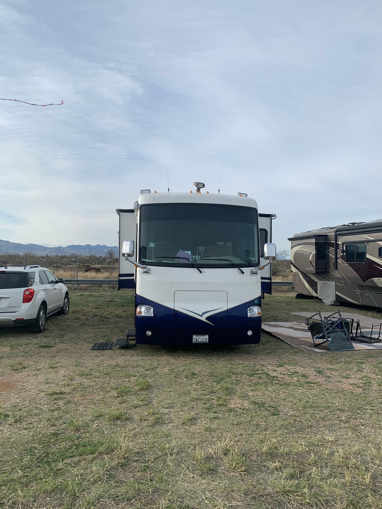
We had stopped in Milk River on our last trip to Alaska and figured we would do it this time also. It was a convenient place to get Canadian cash from an ATM there so we could pay for campgrounds that do not take cards, usually due to lack of internet service along the Alcan which prevents card processing.
This year was a bit of a fiasco. I took my credit union’s ATM card to the same place that it worked the last time and this time it did not work, as that payment kiosk required a chip, and my card did not have one. No issue, I had another ATM card from another bank and it had a chip. But it too did not work!! Only later I noticed that card had expired a few months before.
Now things were getting interesting. I went back to the coach to see if I could find out the PINs for my usual credit cards, figuring I would get a cash advance; but when I checked, I had never set them up with a PIN. I went online to set them up, and guess what? That bank will only send a “new” PIN out by regular mail… to our house in San Diego, not to where we were, in Canada. Now things were starting to seem serious to me.
Luckily for us, our friends Tami & Scott had decided to stay with us for one  night in Milk River and Tami was able to get cash and really helped us out. We wrote her a check and she did a mobile deposit. Phew! This really showed us how things can go wrong when traveling. Seemingly innocuous things can really throw a wrench into your plans.
I guess we could have paid with our US cash to that particular campground, but I calculated I needed about $1,000 Canadian for the rest of the trip in Canada (up and down), and getting a new card may be impossible during this trip. Not sure if they allow them to forward to our mail forwarding service. I guess we will find that out in the next few months.
That night I woke up from a dead sleep around 2 am remembering I had put a PIN on a card that I almost never use. I checked in the morning and I had that PIN in my password manager, Keepass. That morning I drove over to a bank really early to take another $400 and it was declined. Turns out the only bank in Milk River only takes MasterCard in their ATM and my card was a Visa.. Holy Smokes, this was getting tough.
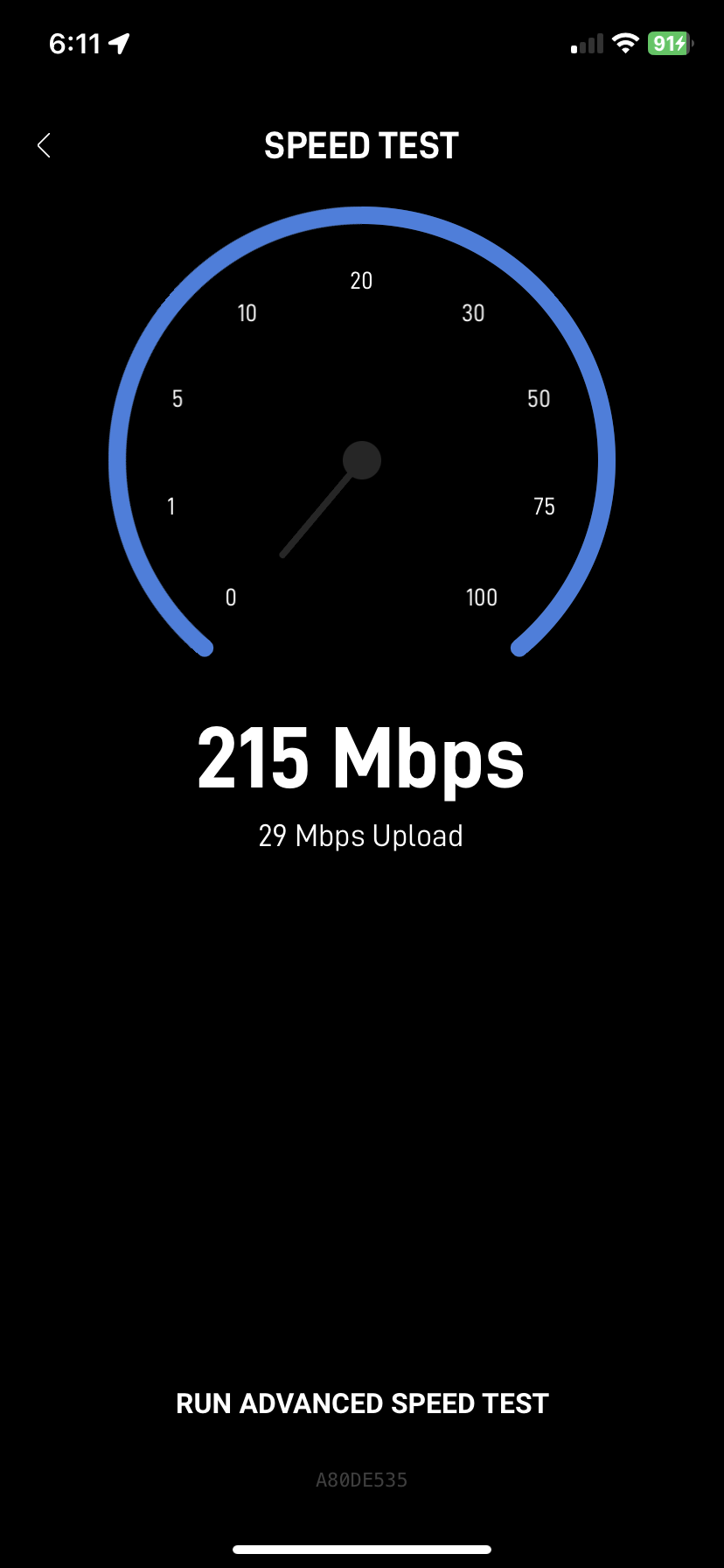
The following morning I overhear Kathy and Tami on the phone saying something about Scott has to go back to the US to activate his Hotspot SIM card for data to work in Canada. I had to go over and ask Scott what was going on as we had gotten it working late yesterday afternoon. Turns out his Google Fi account had switched to unlimited data overnight and his Data SIM was disabled. His call to Fi support was not helpful getting it to work, and they said he must go back into the States to activate it again. I assumed he needed a U.S. cell tower, but that turned out to be incorrect, he just needed WiFi that was listed as being in the U.S. My new Starlink system to the rescue! We connected his laptop to my Starlink and was able to activate his data SIM. So apparently the stop in Milk River was good for both of us. 🙂
Tami said we should follow them to their next stop instead of us staying in Milk River for a second night. Kathy wanted to leave this place because the trees dropped sap and leaves and debris that stuck to Dusty’s feet, so we went with them. We drove to a casino in Lethbridge, AB. And happily for me, that Visa card worked in one of their ATM’s!! What an ordeal. But finally I had a way to get a bit of cash if needed later. Turns out that bank card has a maximum of $375 of cash advance, which is $500 Canadian.
While camped/parked at the Pure Casino, we enjoyed lunch, and the next morning we went in for the $5 breakfast. The funny part about breakfast was the night before we decided to go at 9 am. When we walked back to the doors we had use the afternoon before, we noticed the large print about them opening at 9:30 every day. I guess we were truly “too poor to pay attention” for that one.
Also of note, when we got to Lethbridge, my Starlink knew we were in Canada, so Scott’s SIM activation may not have worked if we waited to do it then.
This was not a great way to start the adventure! But it all worked out in the end.
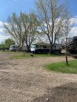

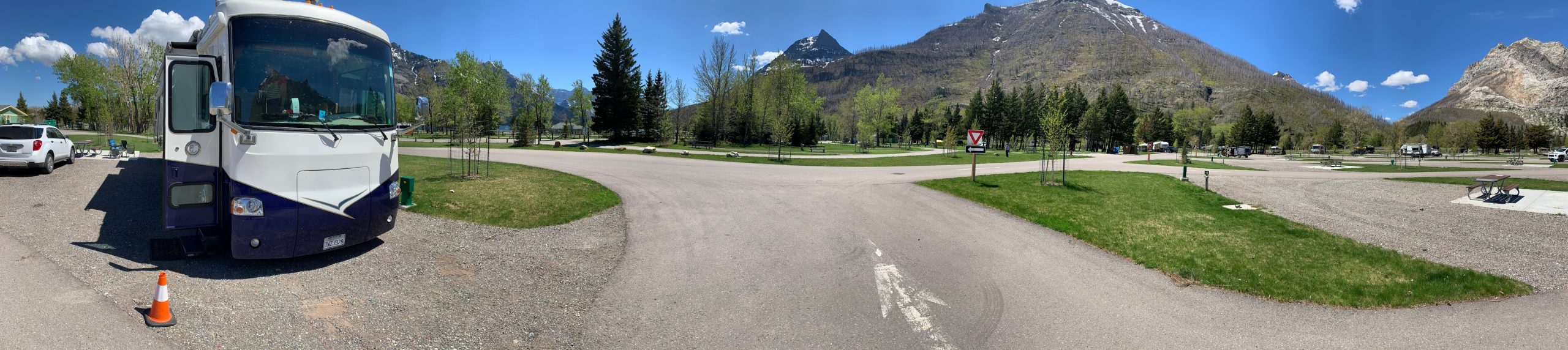
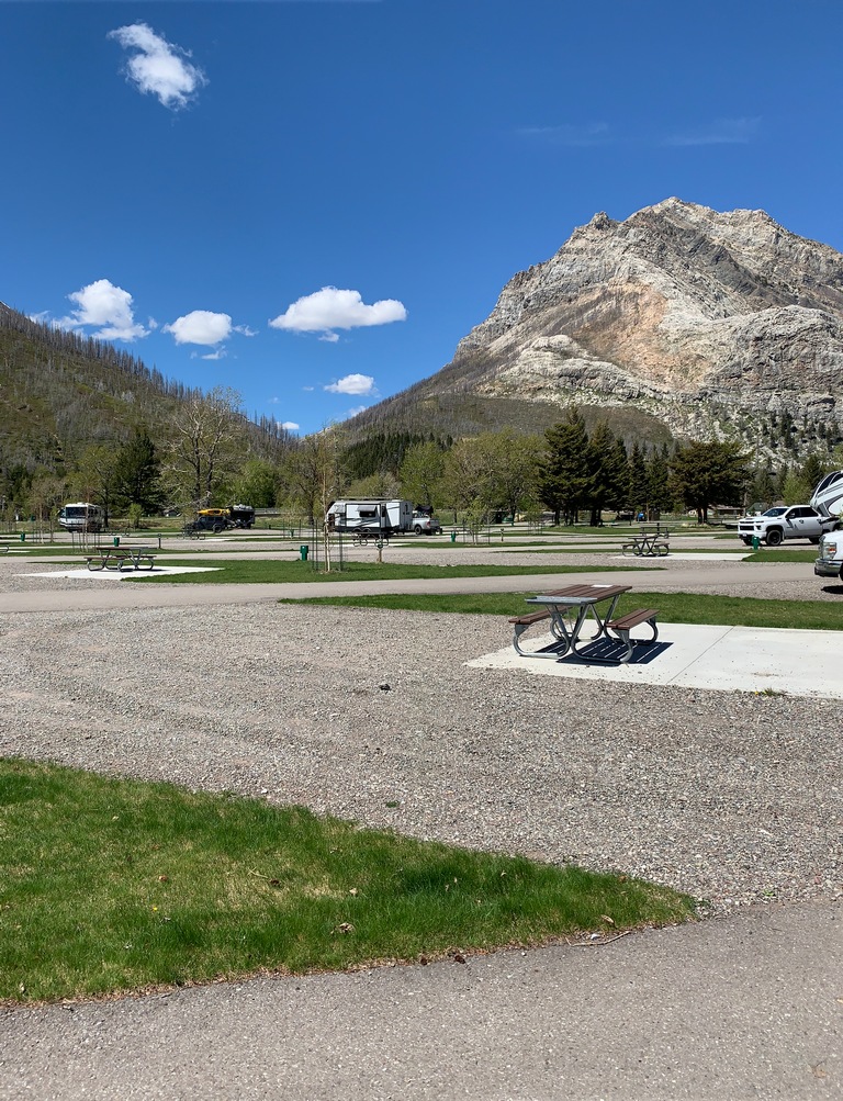
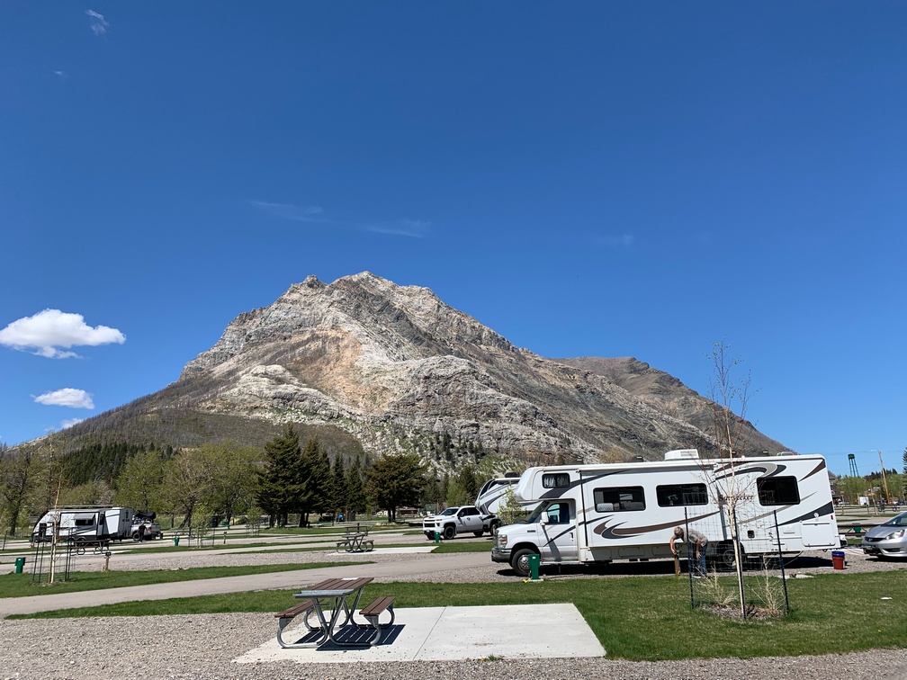
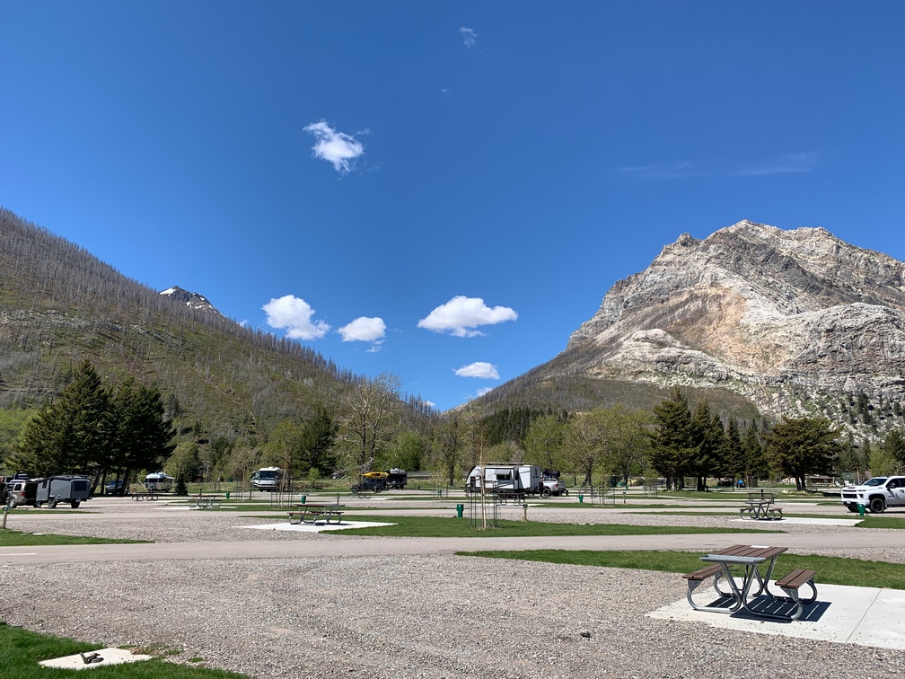
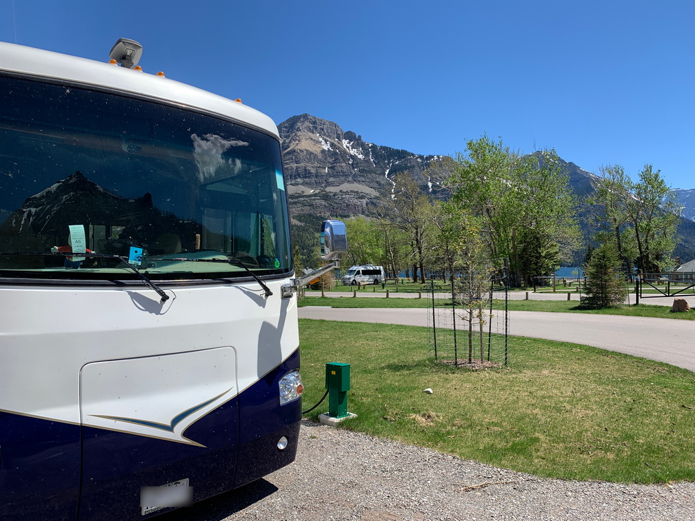
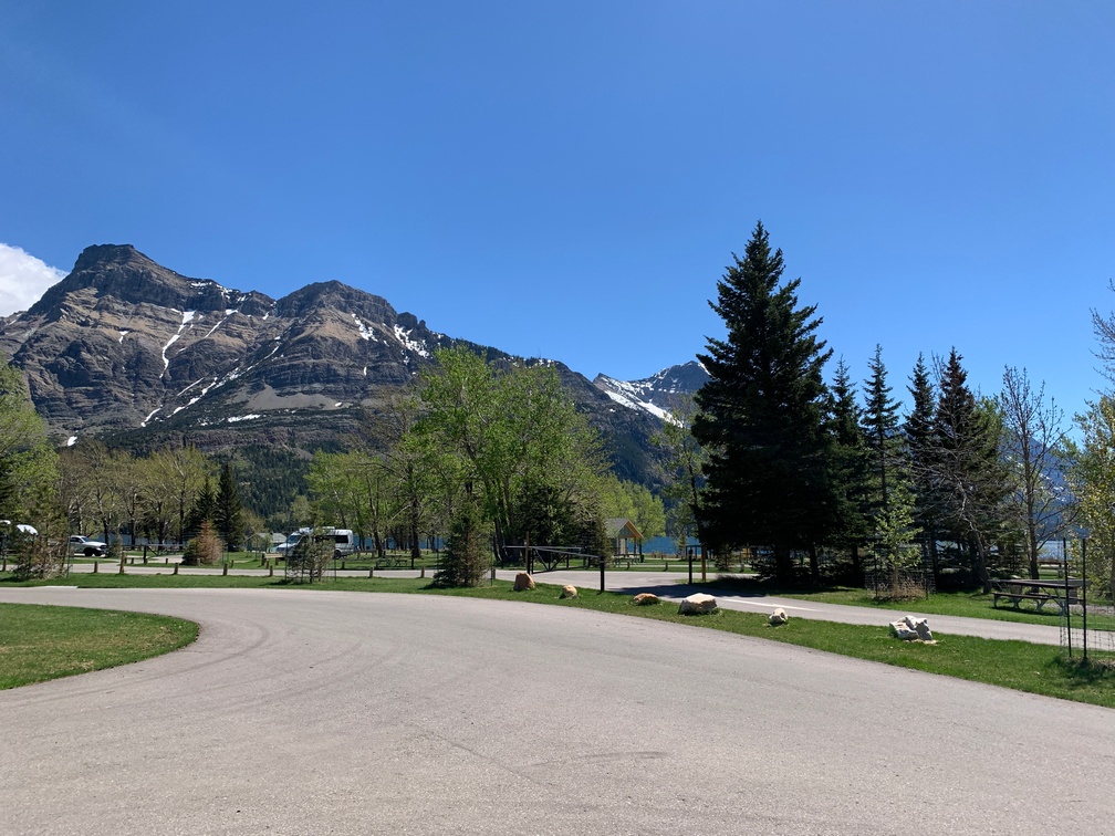
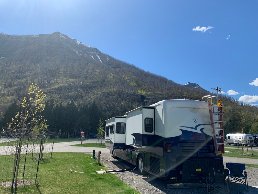
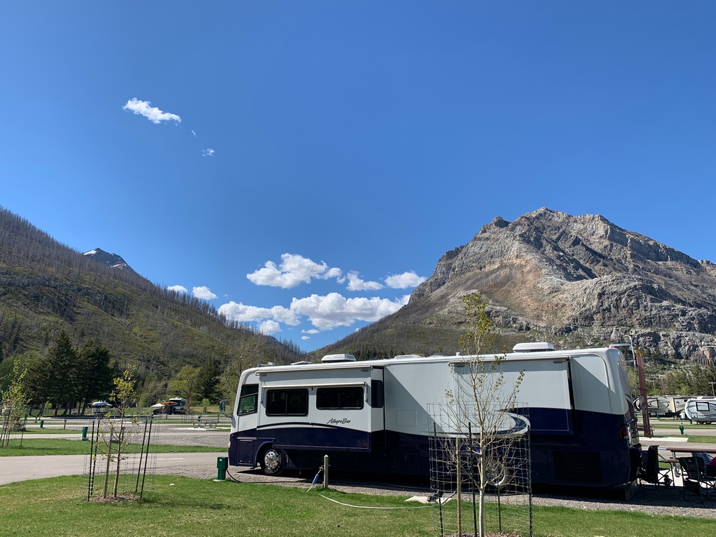
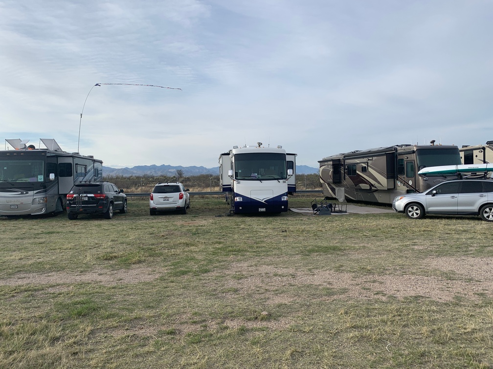
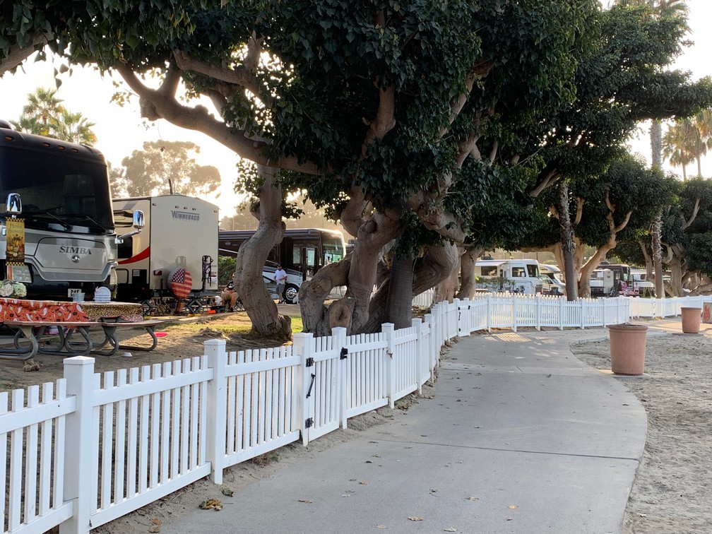
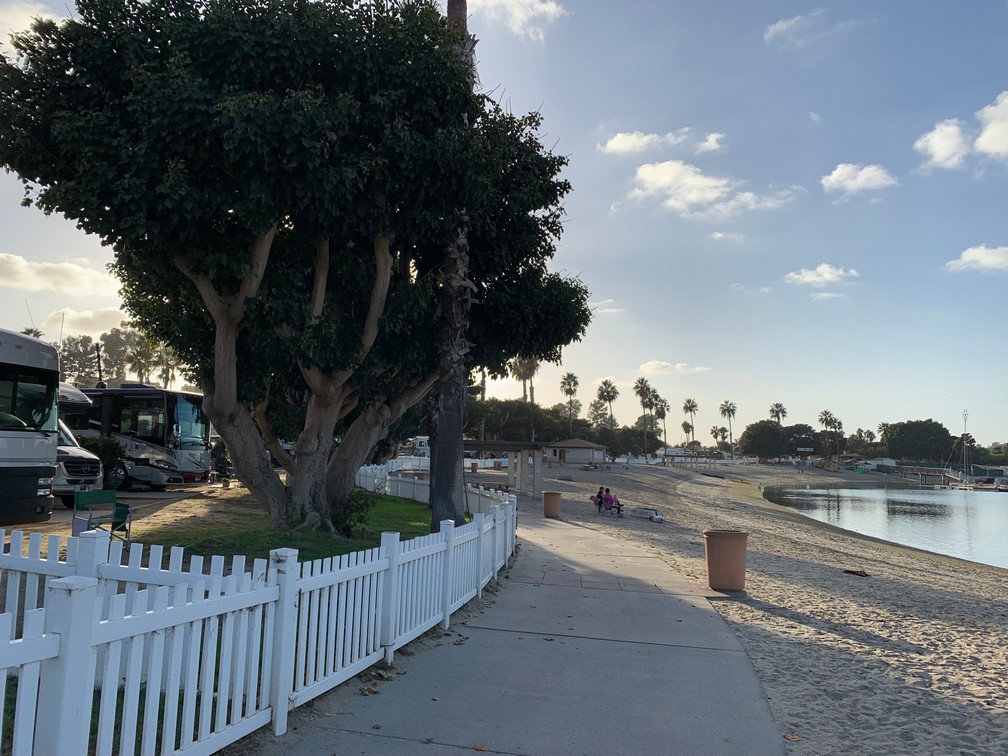
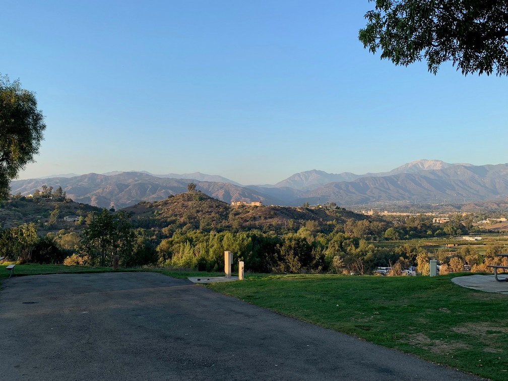
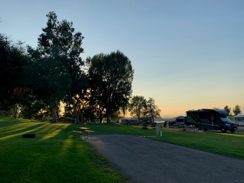
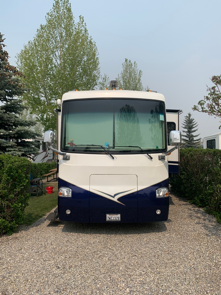 We paid and pulled into our site. It was fairly tight once in there and there were fairly tall hedges between us and our neighbors. It was a bit smokey there, so when it cleared up the next day, there was a bit
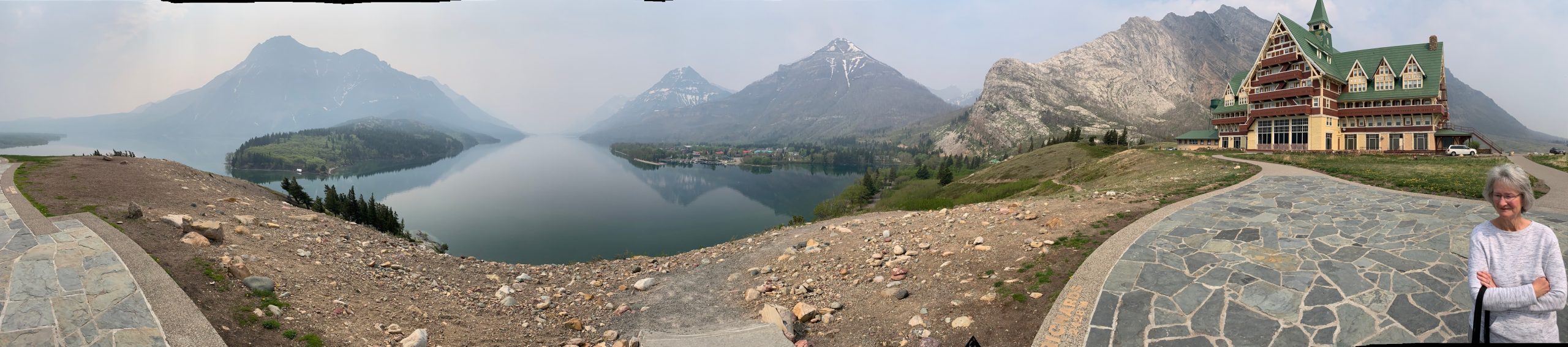
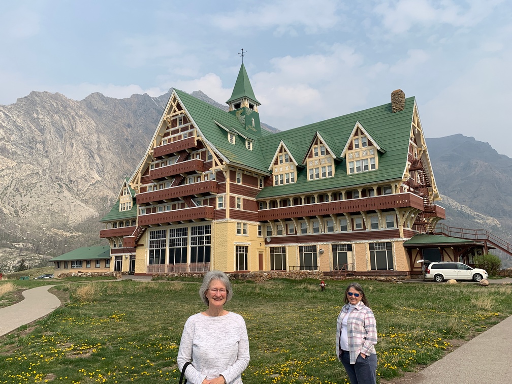
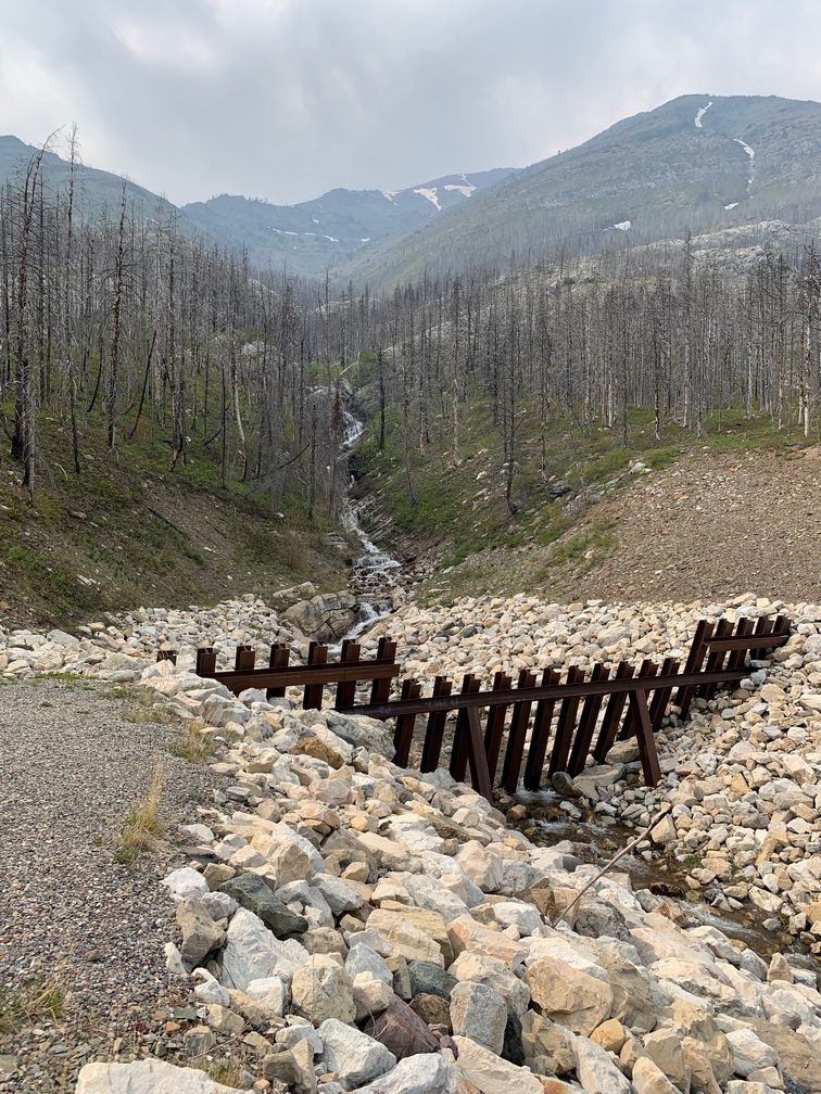
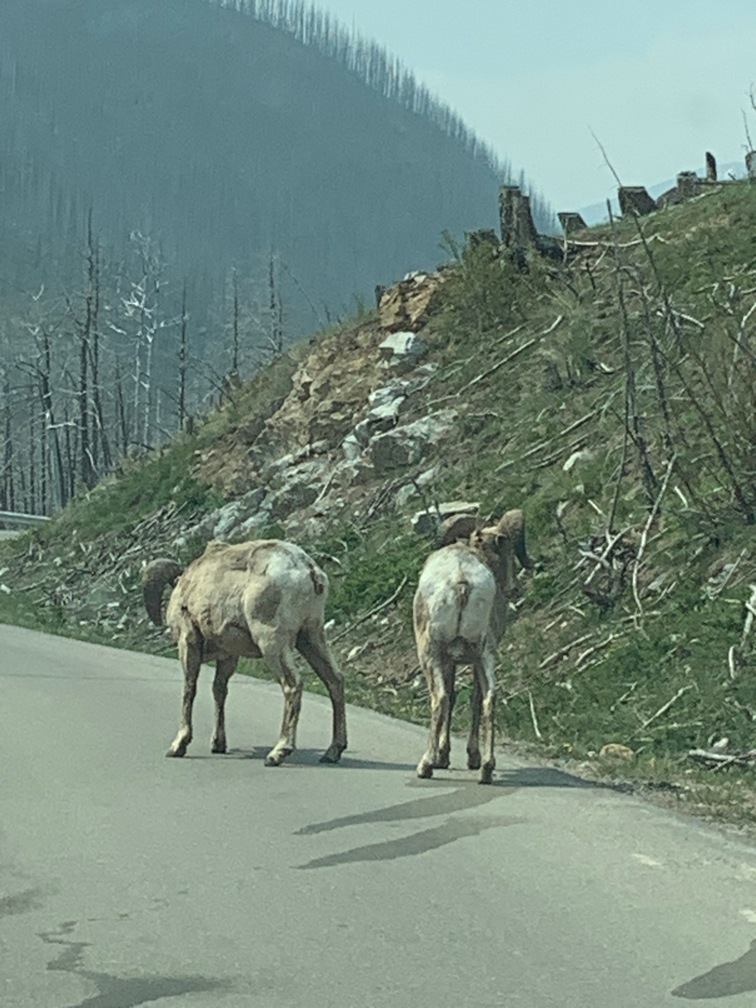
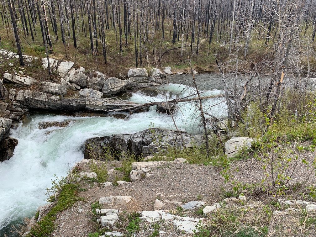
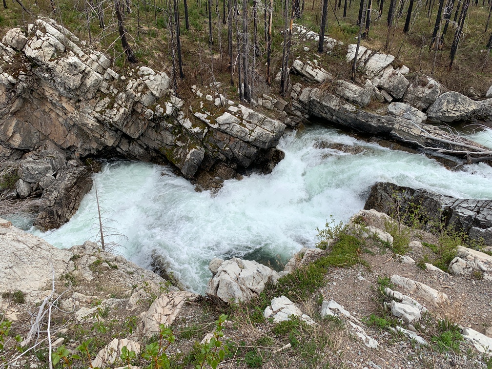
 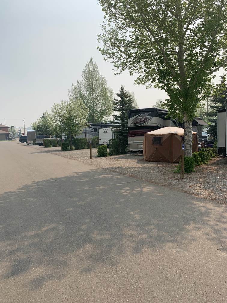 of celebrating going on all over the campground. It was so smoky that I started to research filters on Consumer Reports. Of course, I didn’t find any of their tested models available near me and ended up buying a 3M Filtrete Air Purifier model at Lowes. It surprisingly worked well and now we have one for our time in Alaska too. Last time in Alaska we were dodging smoke most of the trip.