We drove to Cheyenne from the Cummins dealer, and most of the stay there was a blur as both of us had caught Covid. We tested positive on Thursday afternoon and it took me till Friday night to get a prescription filled for Paxlovid as my PCP had to write it, the urgent care didn’t do that. Kathy was asymptomatic at first, but by Sunday morning she too needed to get that prescribed.
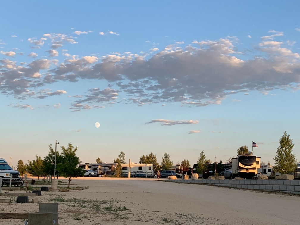
We stayed in Cheyenne a couple days longer than planned prior to getting sick and then drove to Casper, about a couple-hour drive, and have stayed here for another 4 nights.
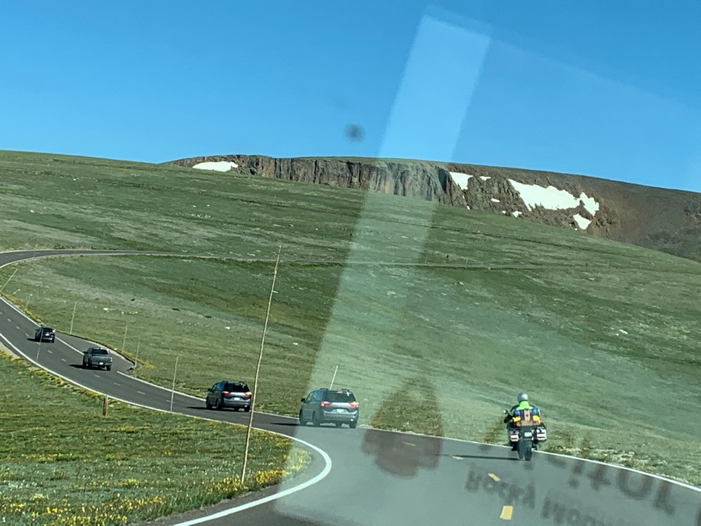
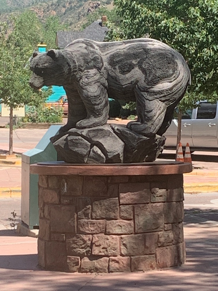
Along the way we heard about the Jackalope on the story app we subscribed to 
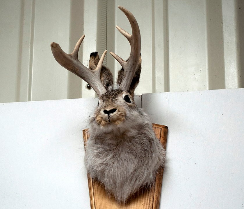 last month (which we highly recommend while traveling!) We got to see a statue of one along the freeway near Douglas, WY, and found this closeup on Wikipedia.
I finished my antivirals last night. Thankfully this morning I no longer have an awful metallic taste in my mouth. That stuff is awful.
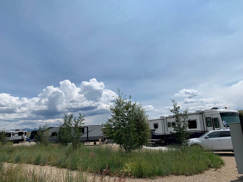
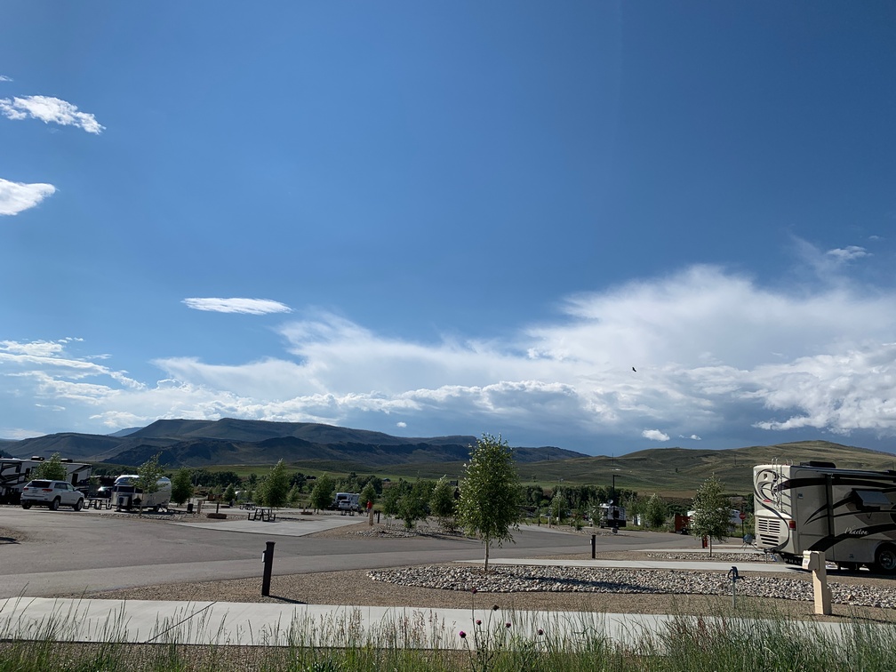
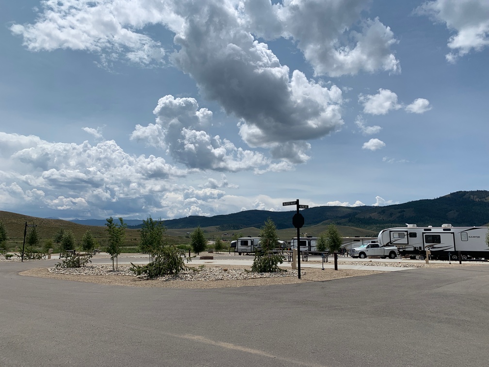
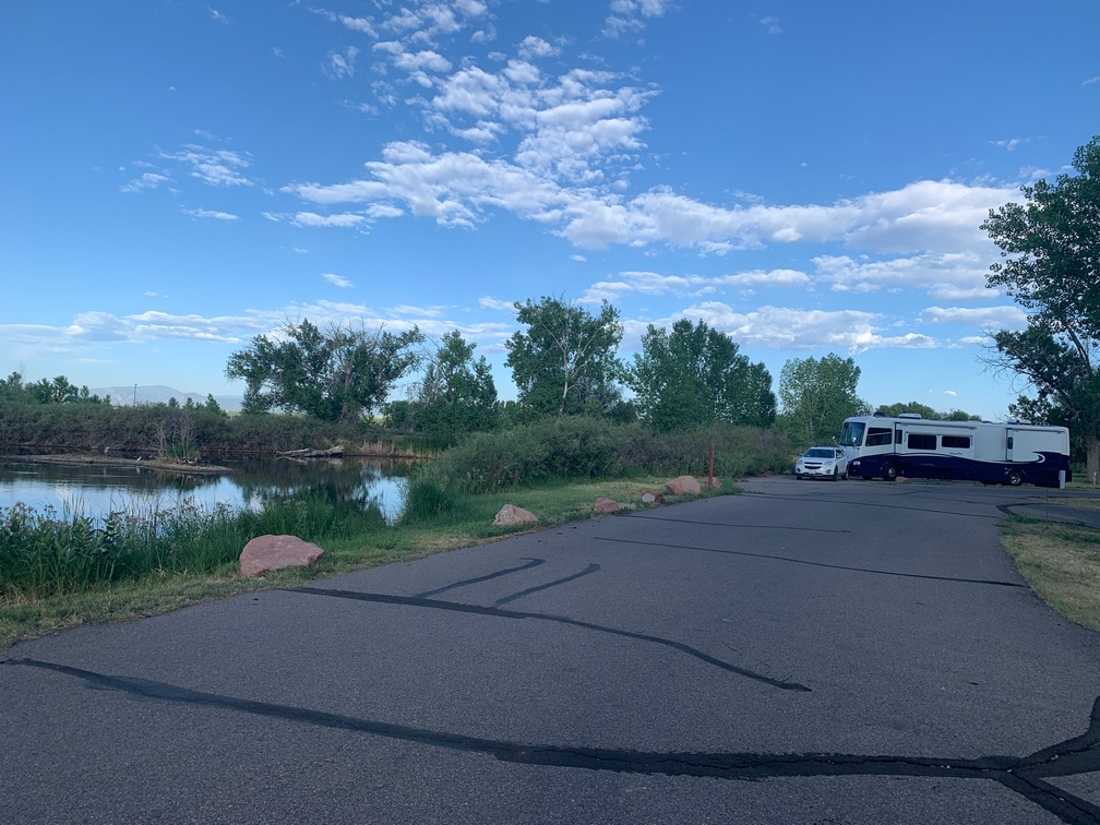
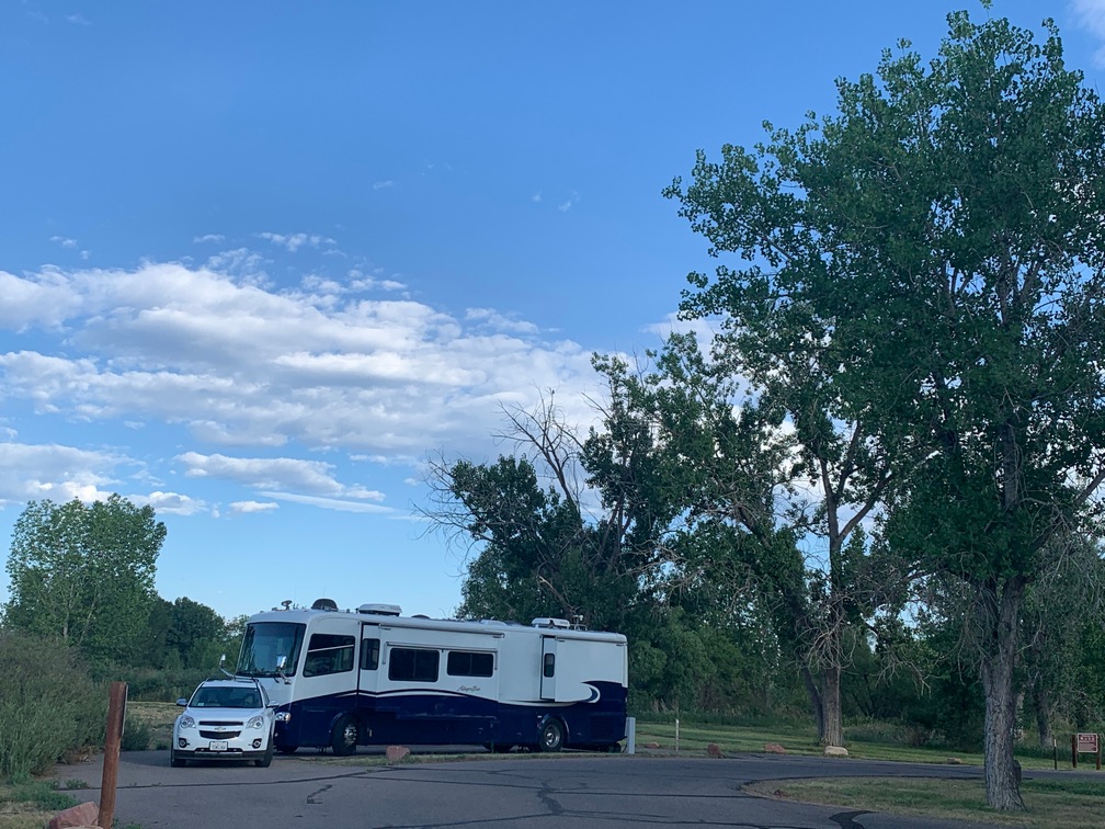
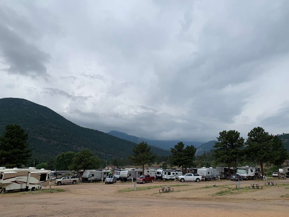
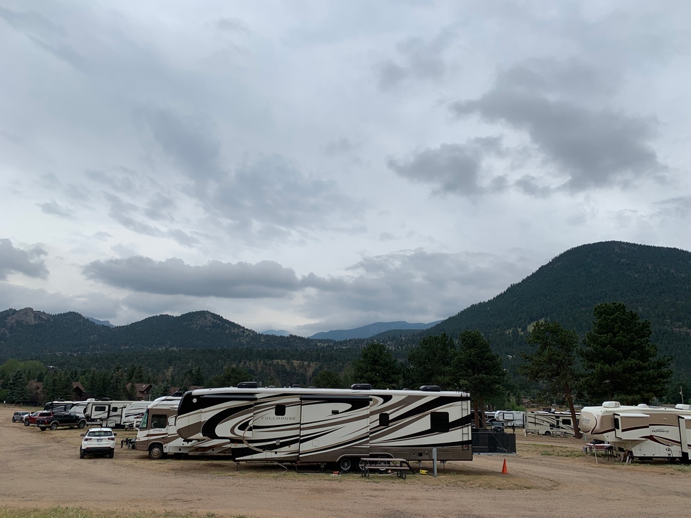
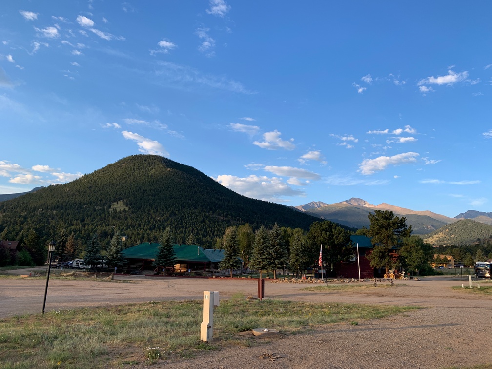
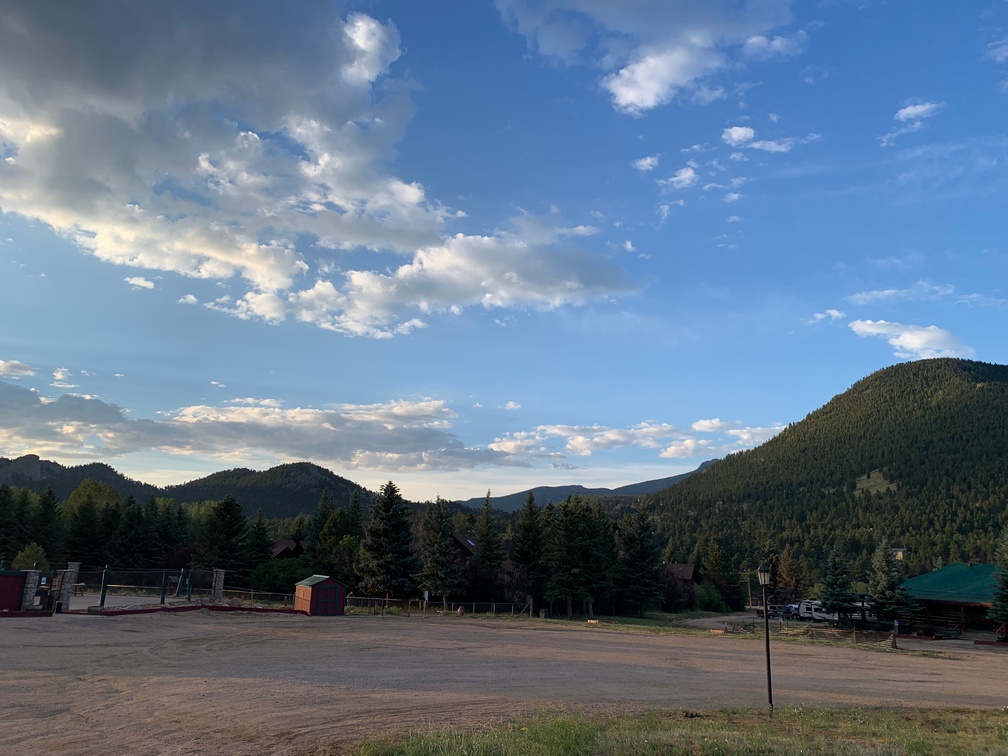
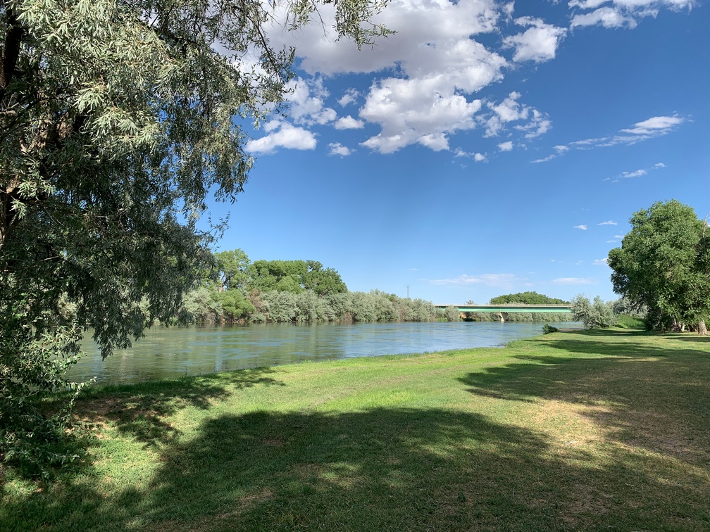
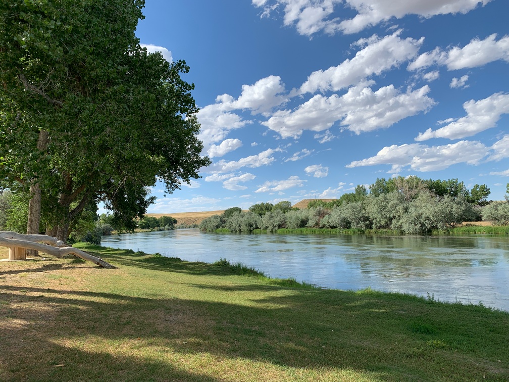
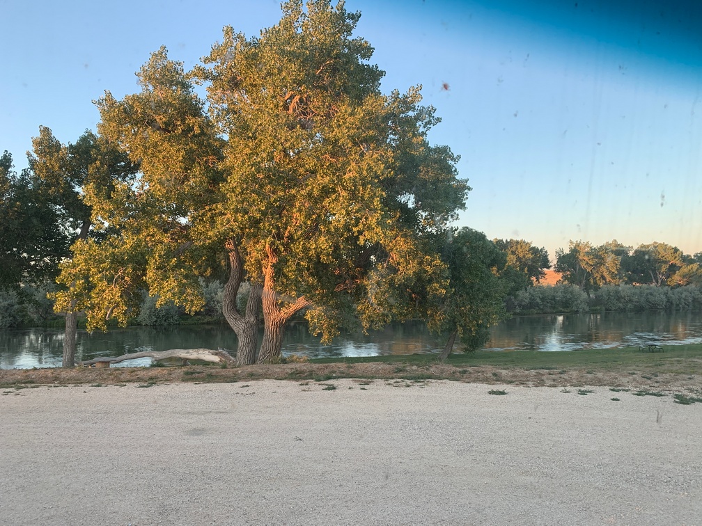
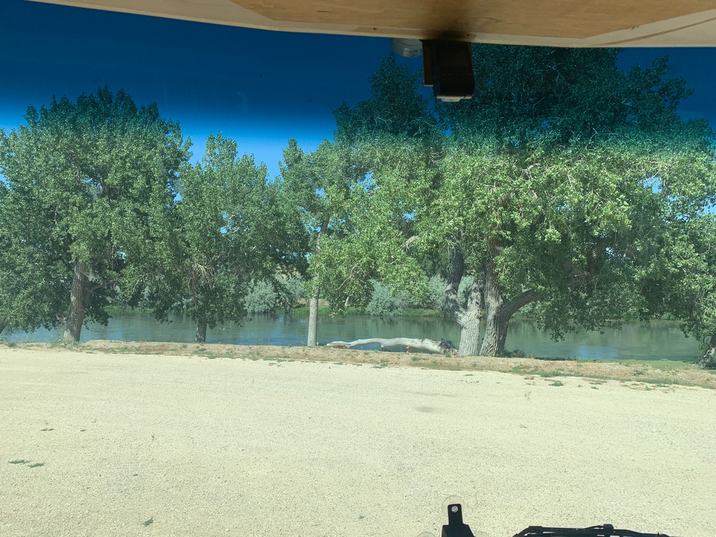 We are camping here right on the North Platte River. This place seems like a desert, but right along the riverfront is all green and treed. Everywhere else it really looks like a high desert and it is.

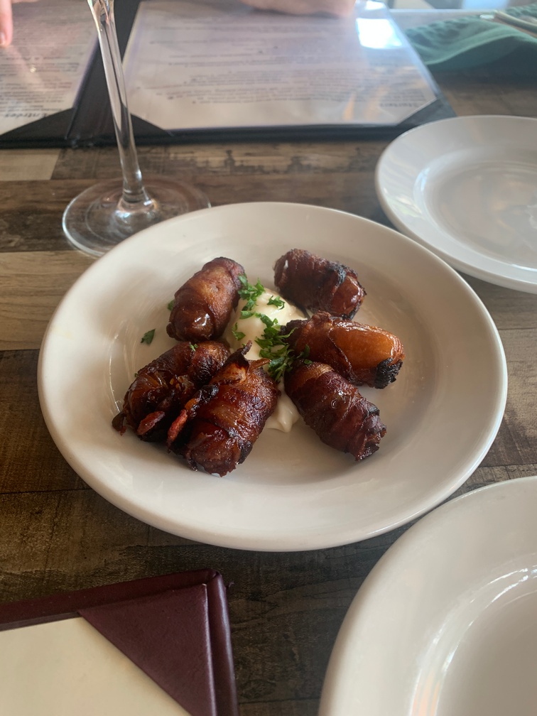
One thing of note about Casper, last night we found what I believe is probably 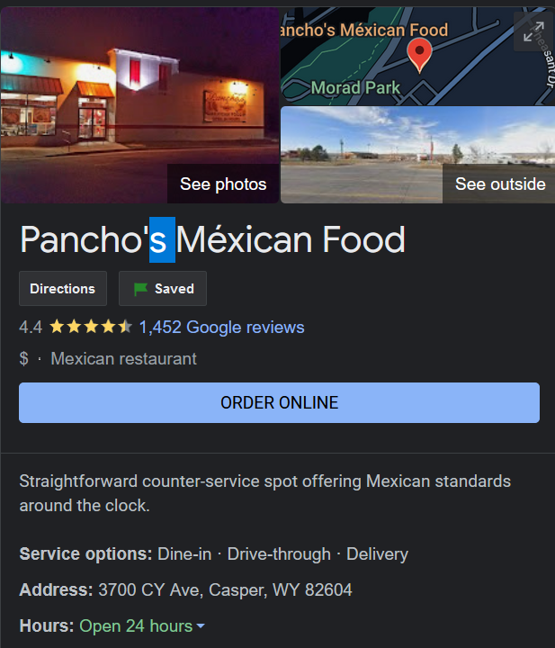 the best Mexican takeout place outside of San Diego. I am probably going to head back there this afternoon and buy a bunch of burritos to freeze, they were that good. It was like a Roberto’s clone.
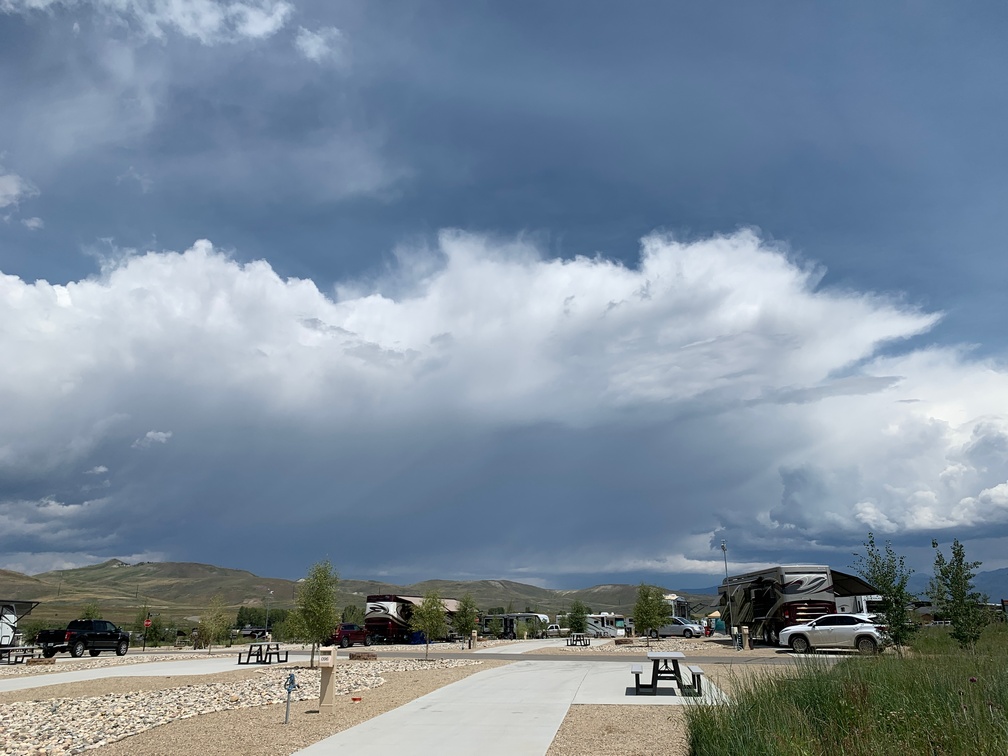
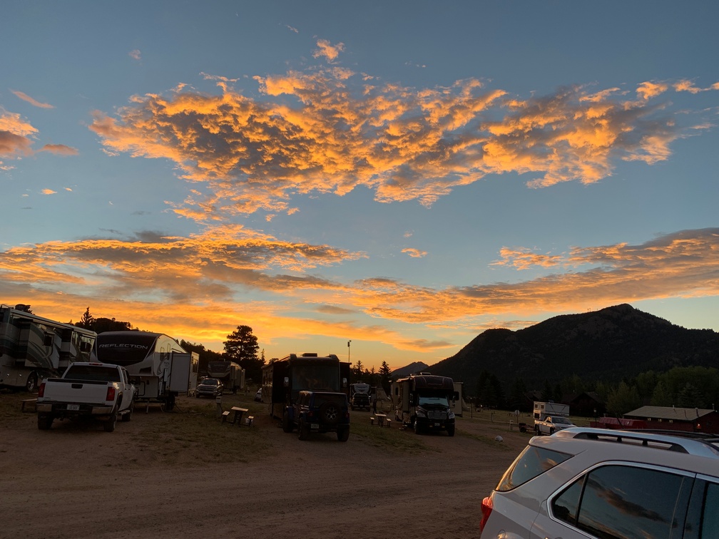
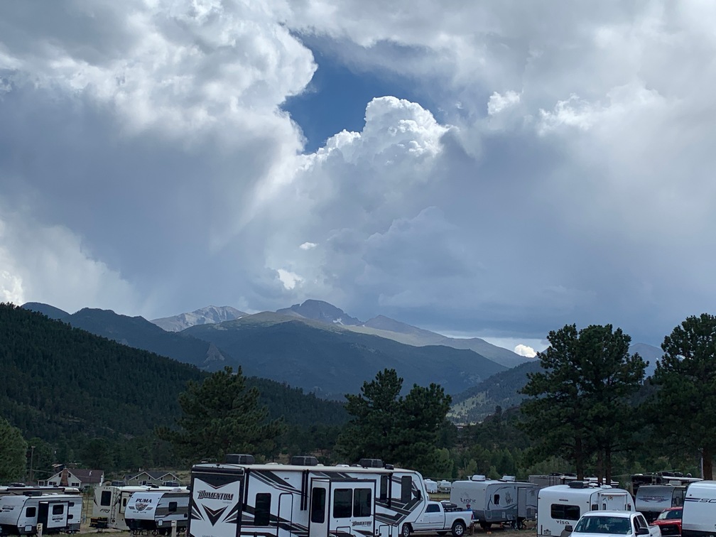
The night before we were leaving, an all-out gale hit us around 10:15 pm and woke us from a dead sleep. The Bus was rocking like we were on a boat in a storm. It took a few seconds to figure out what was happening! There was so much noise, I remembered I hadn’t put one of the window awnings up. It sounded like it would be torn off soon, so I ran outside and tried to put it up.
The wind was so strong, the springs in the unit that roll it up were doing nothing. It was just billowing up with the gusts of 50 mph. Then just for a second, it died down enough for the winding-up springs to do something and I got it closed. There was a lot of lightning while I was doing that and I suddenly realized standing outside probably wasn’t a very smart thing; so I ran back inside just as it started to rain hard. I then decided to go into at least half turtle mode with the RV and brought in the windward slides. The wind was so strong, it pushed on the slides as I was moving them and seemed to try to overspeed the motors; but we got them in, and that helped considerably with the roaring sounds and flapping of the slide toppers.
I sat down at the table to look at the weather info on my laptop. While looking at that, I noticed water on the narrow table along the wall; so I got towels to wipe it up and tried to figure out where it was coming from. Was the roof leaking or maybe I didn’t seal the top of the window enough after the paint job? But I couldn’t find any water anywhere but on that narrow table. Turns out the winds, now a steady 50 mph, was blowing the rain sideways right at the window and it was blowing in the two weep holes at the bottom of it. That was a first! I stuffed the towels we use to wipe up the table into the window track to block it as much as possible.
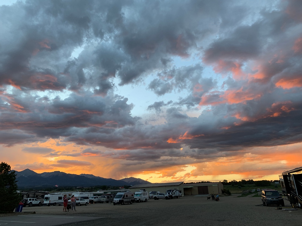
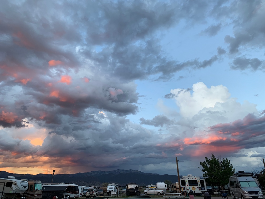
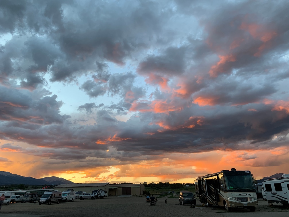
The lightning was like nothing I had ever seen. It was constant, just everything in all directions, glowing in what looked like a white mist surrounding us. And the thunder just kept going, it never seemed to stop, just a constant loud rumble for hours.
The weather radar showed a red cell right over us and it looked like it would fully pass us between 11 and midnight. I stayed up till the wind was back down to about 20 mph sustained and put my head back on the pillow.
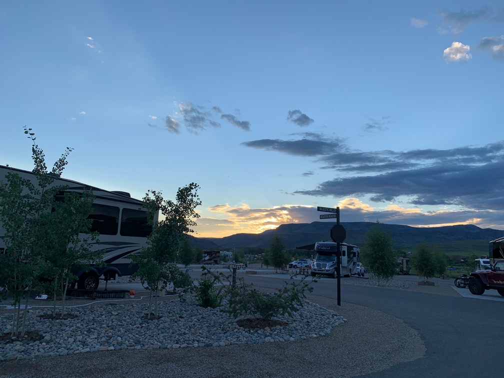
The following morning the river was a muddy brown but appeared to have not risen at all, and all the campground patio furniture was scattered all over, except ours, which was on the lee side of our Bus. Only one of the chairs was knocked over, but nothing blew away like the other campsites’ furniture had.
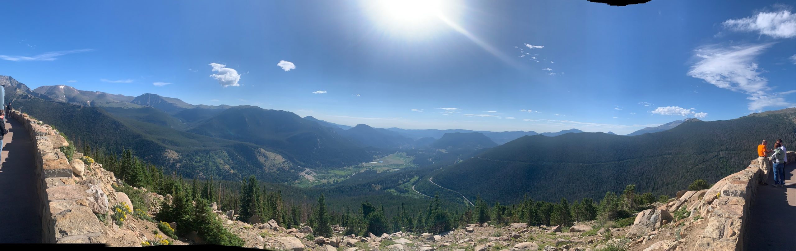
We head for Buffalo, WY, this morning and hopefully will resume our “Vacation” Covid free.