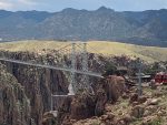
 We left the convergence and drove about 30 miles east to a nice small campground just up the road from the Royal Gorge. I didn’t know much about it but decided we would visit and know a lot more.
After setting up in our campsite, we drove over to the gorge that afternoon. It  was very hot that day, so we just drove around to see what was there. It struck me as odd, the bridge over the gorge was this huge suspension bridge and it seemed to go nowhere. We decided to come back the next morning when it would be a lot cooler.
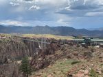 The next morning we drove back over there and paid to go into the “park”. Turns out this whole thing is really an amusement park. The bridge was built over the gorge strictly as a tourist attraction. On the other side of the bridge, which you can only walk across now, is the amusement park.
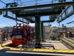 We decided to take the gondolas across then walk back over the bridge; but after being in line for it for about 15 minutes, they shut it down due to high winds. And it was very windy!
There were also two ziplines that 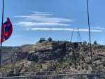 originated on the other (uphill) side of the gorge and people were zipping over. They came in very fast, and there were rubber blocks on the line that slowed them down very quickly. I was thinking whiplash might be a real possibility. Those ziplines are over a thousand feet in the air. Hard to imagine that.
After the gondolas were shut down, we walked down to the beginning of the bridge, then out on it about halfway across. We were glad we didn’t bring Dusty as it was so windy out there we probably would have needed to carry him or he could blow away! I could feel the bridge moving and that’s not a comforting feeling. We snapped a few pics and proceeded back across while watching my footsteps as there were a lot of older boards that didn’t look so sturdy to me anymore.
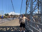
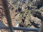
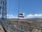
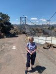
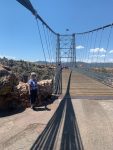
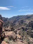
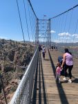
I’ve crossed a lot of bridges in my life, but I do not remember one that was anywhere near as high off the ground as this one. It was about 1,000 feet above the Arkansas River below. Interestingly, I saw a RxR track running alongside the river way down there.
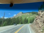
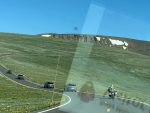
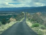 When we left there, we headed toward Canon City, just a few miles east of the gorge. I had read something about Skyline Drive, so I decided to use that route to get into town. That was quite a drive, not for the faint of heart. Narrow one lane (lucky for us, one way also) that traverses the top of a mountain ridge all the way to town. There were a few parts that my acrophobia kicked in and it was all I could do to stay in the middle of that road and look at nothing else. The dash-cam video shows just how small and high it is. It comes out at the bottom of the hill after a few switchbacks right into a residential neighborhood.
First Half of Skyline Drive
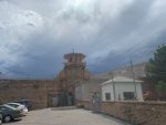 Not far from the base of the end of Skyline Drive was the Colorado Prison Museum. We drove by and they
 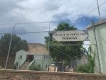 didn’t allow dogs inside and it was way too hot to leave him in the car.
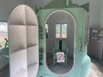 I did get to see the gas chamber they used there. Interesting gadget. The walls were very thick steel, something I would have expected on a diving bell to see the bottom of the Marianas Trench, not something for using at sea level.
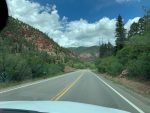
 The following day we headed up to Cripple Creek, an old mining town in the mountains. What a beautiful drive with everything green as far as you could see, miles and
 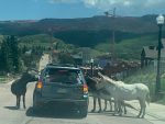 miles of trees and meadows with some cattle grazing along the way.
We got into town and we decided to drive thru it to see Victor first and then come back to CC. On the way to Victor, we saw a very tall pile of dirt, I mean really, really tall and wide. It turns out it’s an active gold mine, a big open pit, but there appeared to be no way to see into it. We drove for a few more miles, the whole time the wall of dirt was just to the left of us.
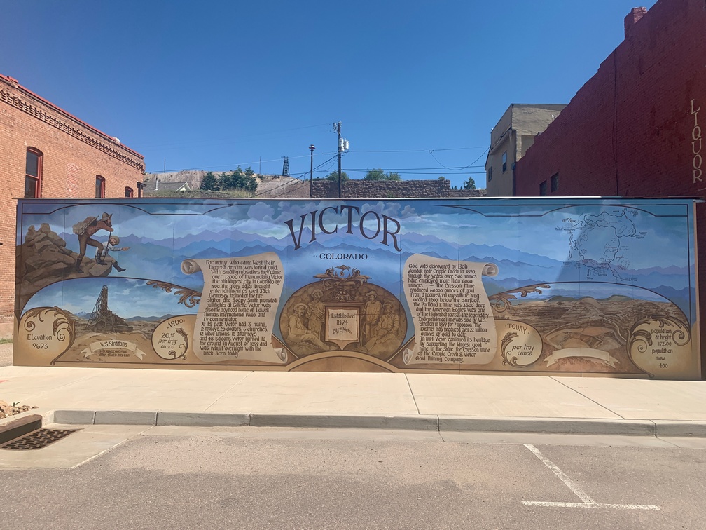
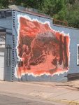
We arrived in Victor and it’s a really nice little mountain town, lots of old buildings. We stopped at a small parking area across from the fire station and city hall. Nice mural right there. I saw a fireman outside washing his rig, so I  went over to talk to him, figuring he knew a lot about this town. I knew nothing.
He turned out to be a wealth of information, and the best part was he knew a way to see into the big strip mine just up the road. We wandered  around the town for a little bit, then headed out, remembering the directions to the overlook. They were a bit vague, but we found it anyway.
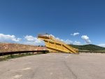 And it was spectacular! Even the platform was over the top, made out of the bed of one of the old ore hauling truck beds with a platform and stairs welded into it.
 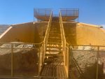 Quite an impressive structure. And the view from it into the mine was great. It’s an active mine and we saw trucks moving ore to and fro.
Turns out they produce more than half a billion dollars of gold per year. Not chump change! I didn’t know we had much gold mining in the US.
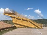
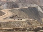
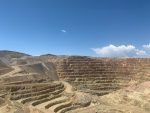

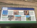
The pit is Huge, yes, with a capital H, huge.
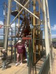 After spending time to take it all in, we headed back to Cripple Creek and along the way stopped at an old shaft gold mine that is now a tourist attraction. There is a mine elevator that takes you down 1,000 feet and then you can explore the tunnels. No dogs allowed and it was still very hot, so I just took a picture of the double-decker elevator that had just a single cable hauling it up and down. Looked like a single point of failure to my eyes.
We drove the few miles into Cripple Creek, and the first thing you notice in the small town are the 500-foot-high cranes you see when they build skyscrapers, and they appear to be building some right in downtown. I wasn’t really impressed by the town. It appeared to only be a casino town. Lots and lots of casinos. Nothing much else there.
We wanted to get lunch, and there was nowhere that allowed pets and almost all were actually part of a casino. We couldn’t even find a takeout place. Sad. We did find a nice pavilion on a slight hill with picnic tables in the shade to eat some snacks we brought for the drive. It was odd, there wasn’t even a Subway to get a sandwich in the town. And they seem to be everywhere you look.
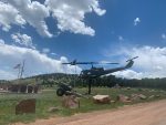
We noticed big, dark clouds in the west (the direction we had to go back) and I called the local police station asking about this other road I could see on the map that went almost directly south toward our campground, 50 miles away or so. The dispatcher said it’s not a road for the faint hearted nor is it ever maintained as it goes along the river on a ledge for miles. So no go.
We drove toward the storm. But missed it, only skirting the edges and got a few sprinkles. But when we got back to the coach, the wind was blowing hard and it started raining buckets of water. I was glad I wasn’t driving a mountain road in that.
 The next morning I drove down to the prison museum by myself and took the tour. Pretty underwhelming. Old and musty place. It was worth the $3 to get in, but just barely.
The next morning we were off to Colorado Springs.
July 10th thru the 13th.
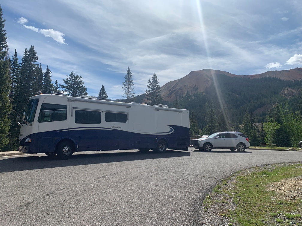
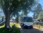 We arrived in Missoula the Thursday afternoon before my niece’s wedding. I had gotten a last-minute reservation at the local KOA, so I was a bit apprehensive about the site we would get. A couple weeks prior they had no openings for our stay; so when I called back and they had something, I was very happy. We had originally thought we might stay at the ranch or at the local hip-camp. When we drove over to the ranch to help set up for the next day’s event, I was surprised by the 10-ton bridge weight limit I would have had to cross. We are close to 20 tons…
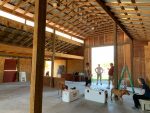
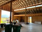
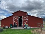 We drove over to help with anything we could for the wedding on Friday afternoon, mainly moving things like beverages, chairs and coolers around the barn and adding ice to the coolers.
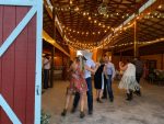
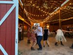
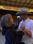
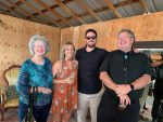
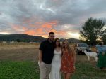
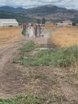 The wedding was a fantastic event, and the weather totally cooperated. I did learn something new at the event. I asked someone why all the cowboys where wearing sunglasses and was told, no one wants to see cowboys crying. 🙂


















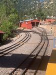
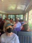
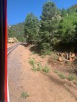
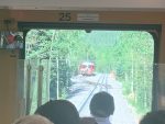
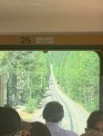
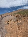
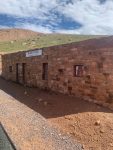
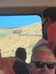








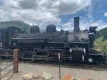
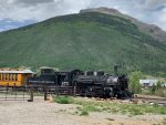
 You cannot believe how much oil leaks from all the moving parts. Their oil can for filling the lube cups at each joint is the largest one I have ever seen. When that is filled, it would last me twenty years of adding drops of oil on things I need to lube (not very often anymore.)
