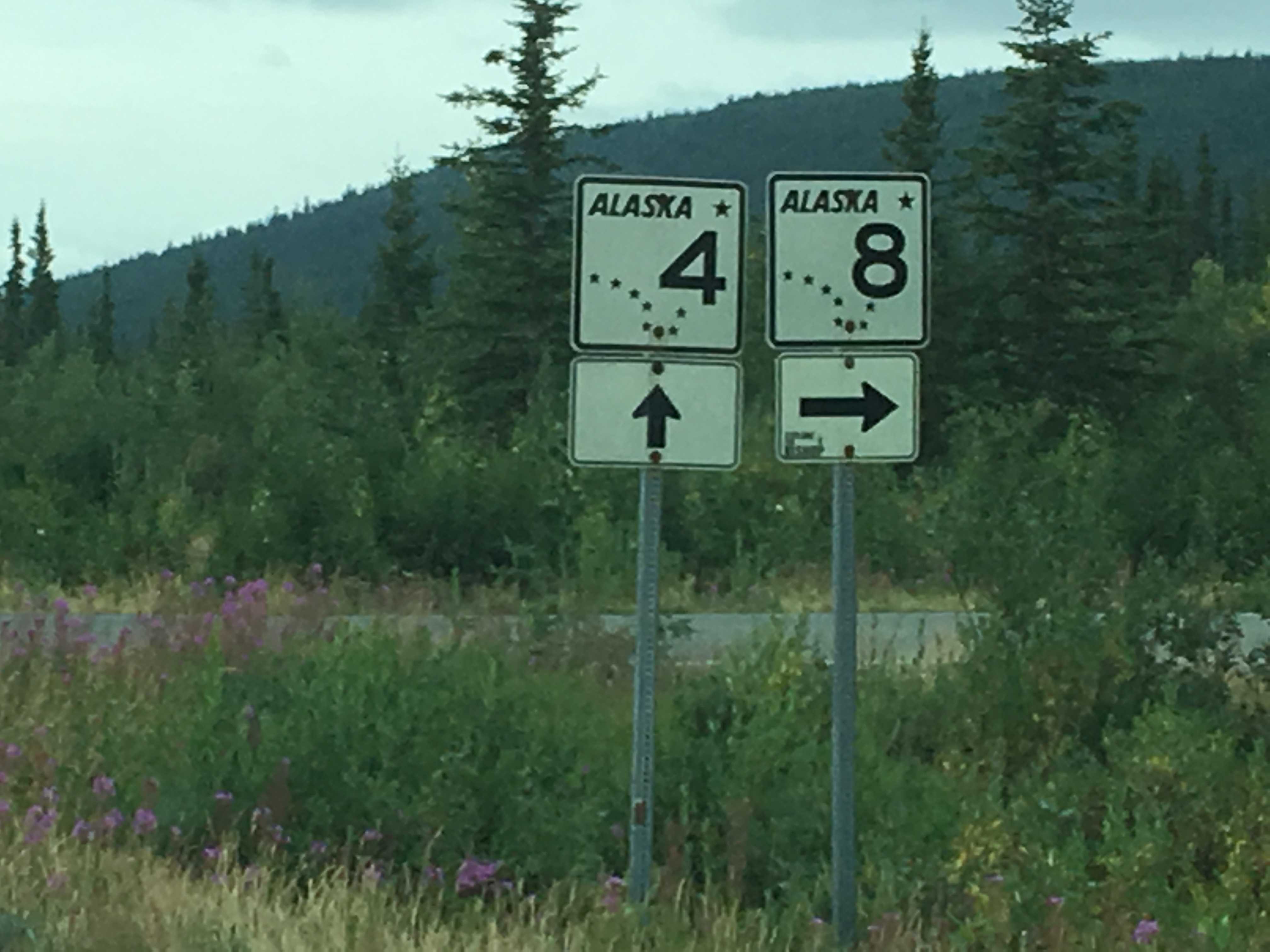
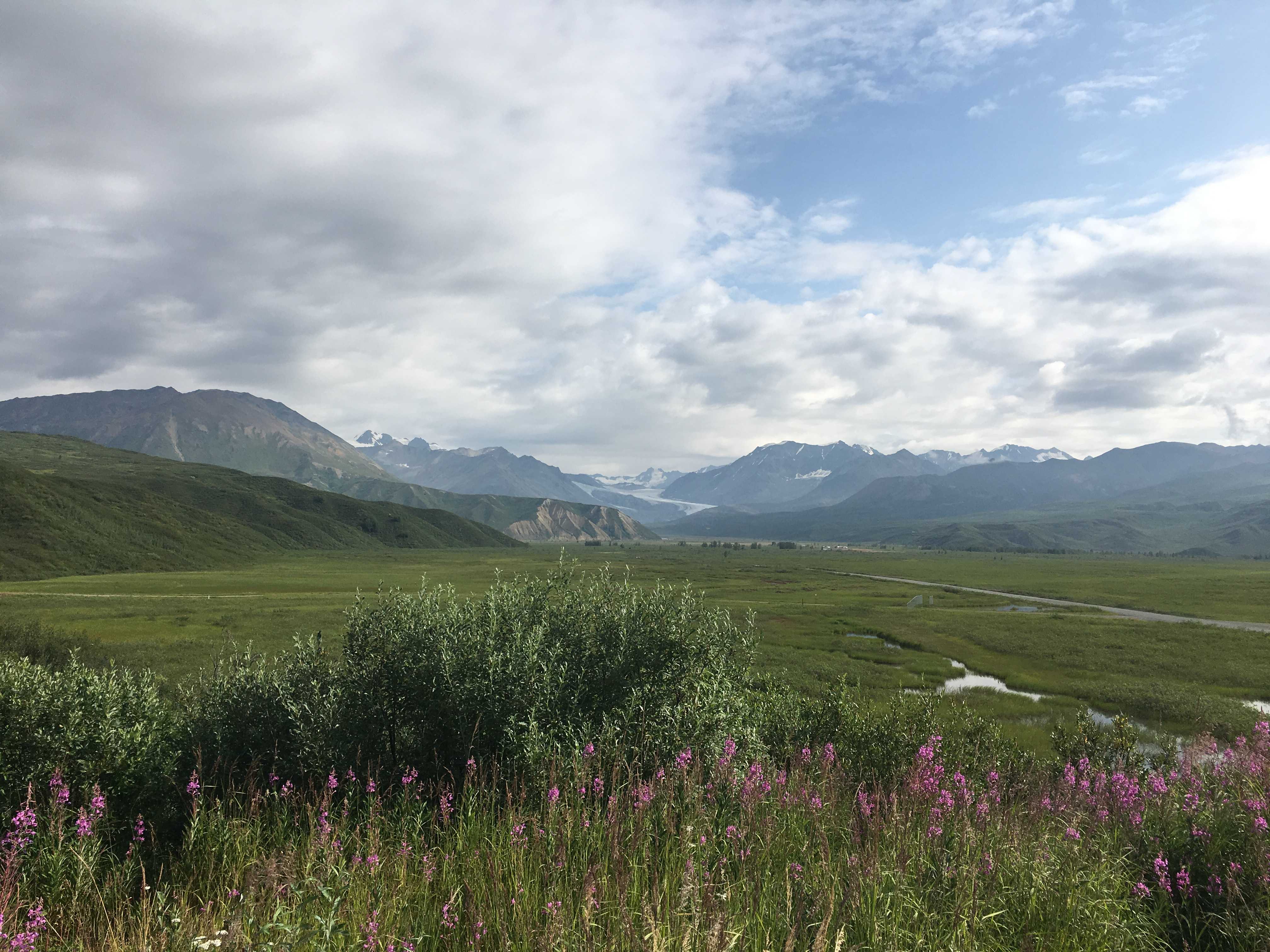
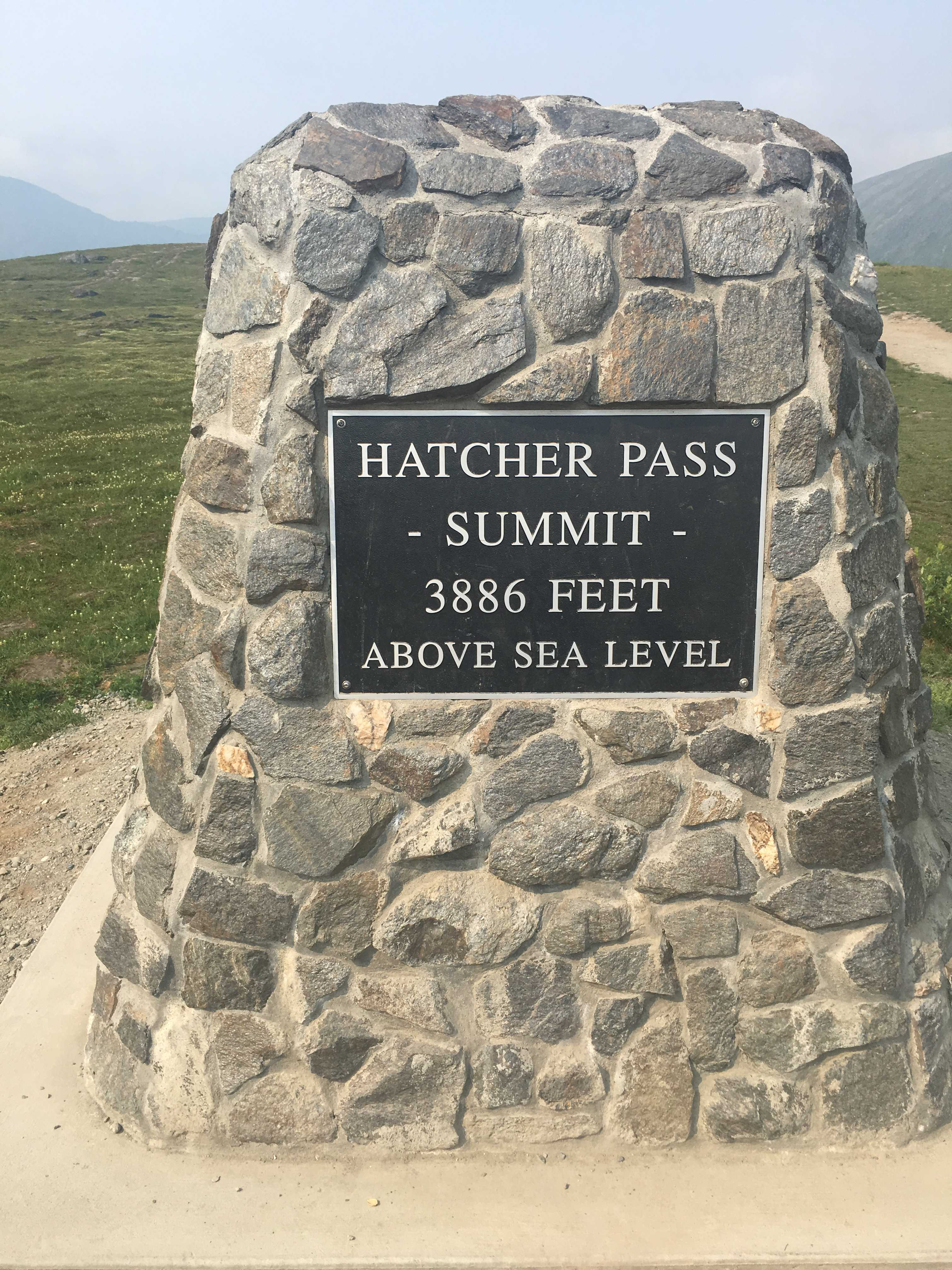
 We left early and drove up the Stewart Highway from Glennallen so we would get to the mountain pass around noon. It was a beautiful sunny day and probably
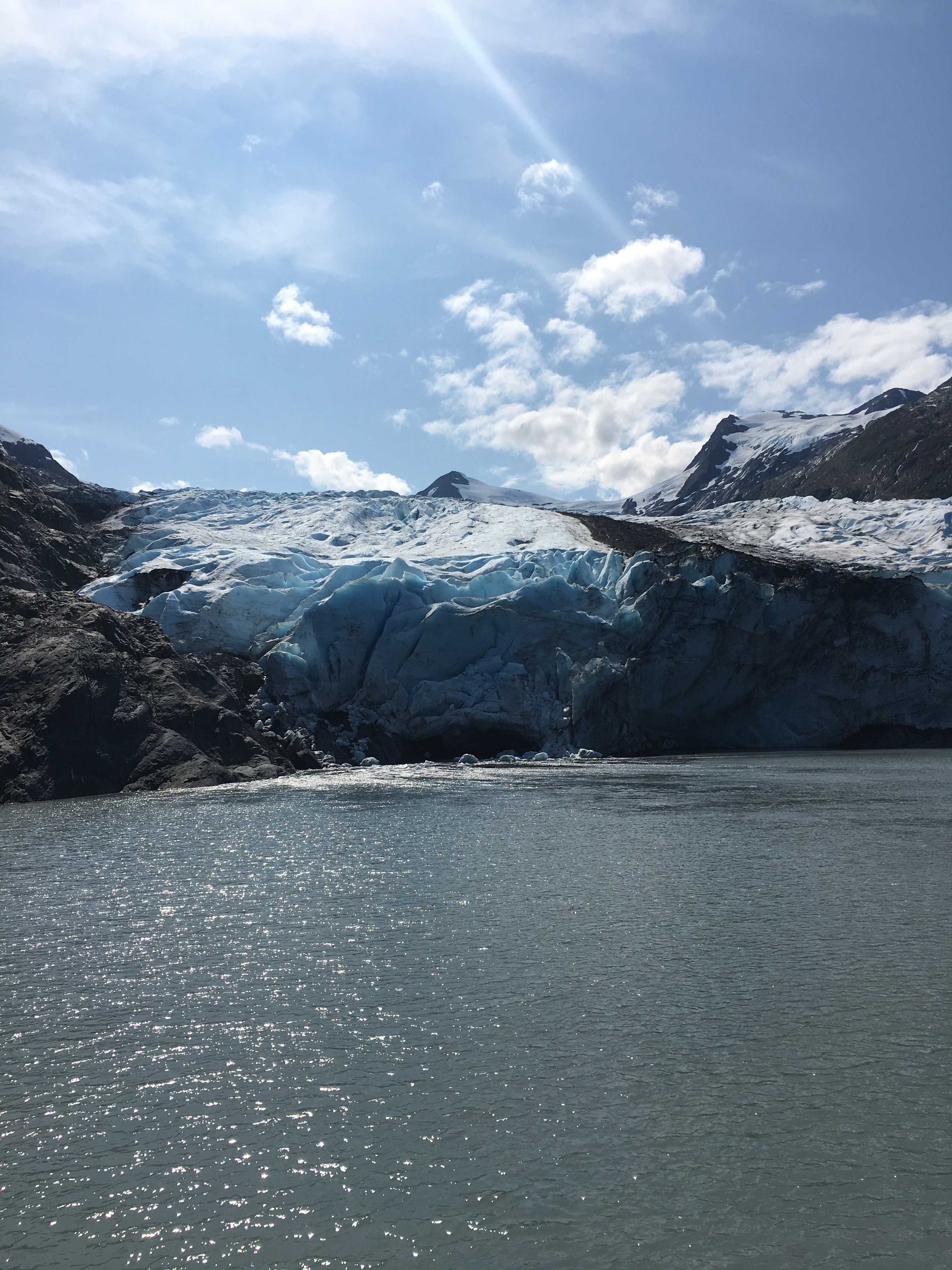
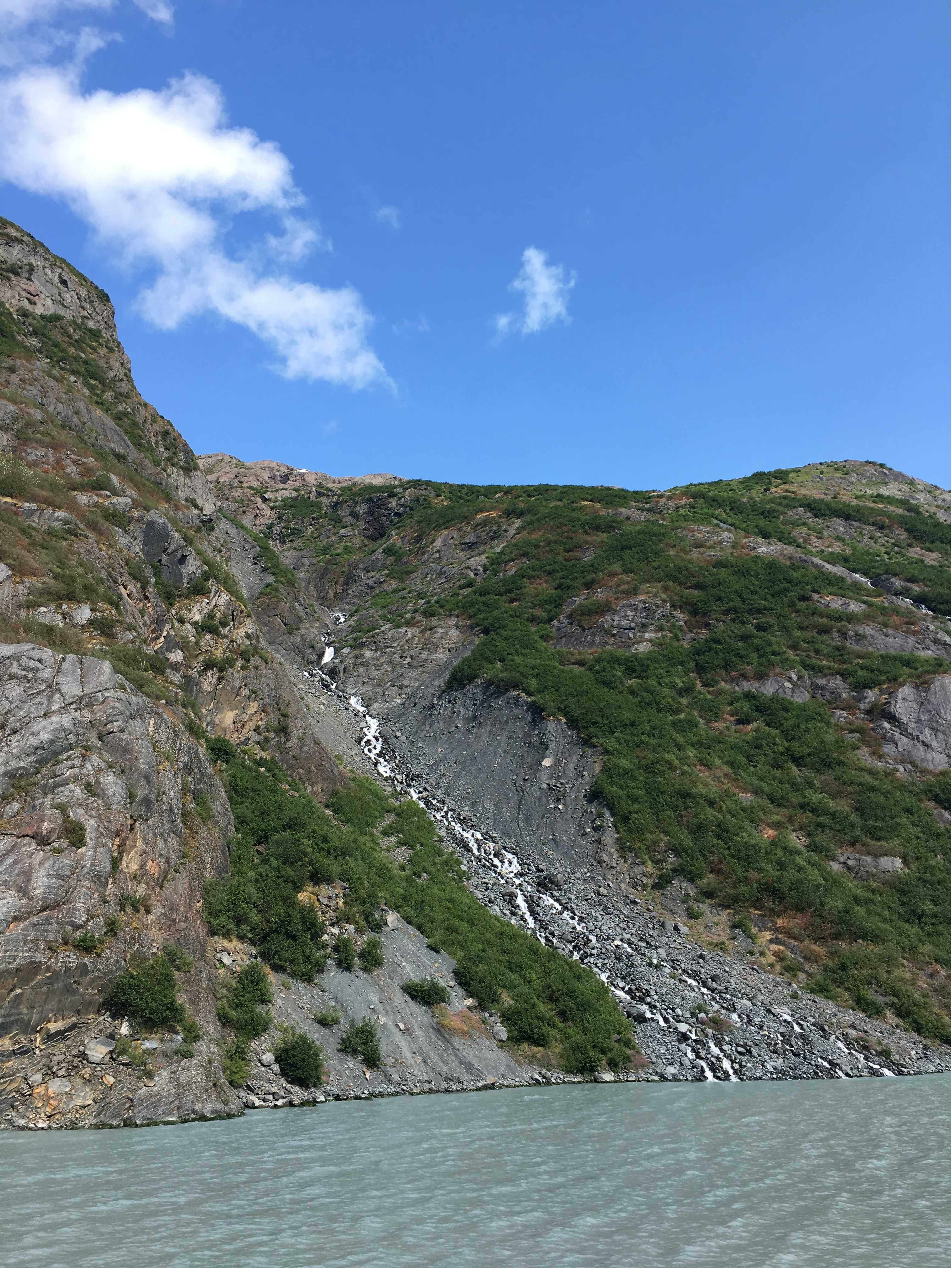
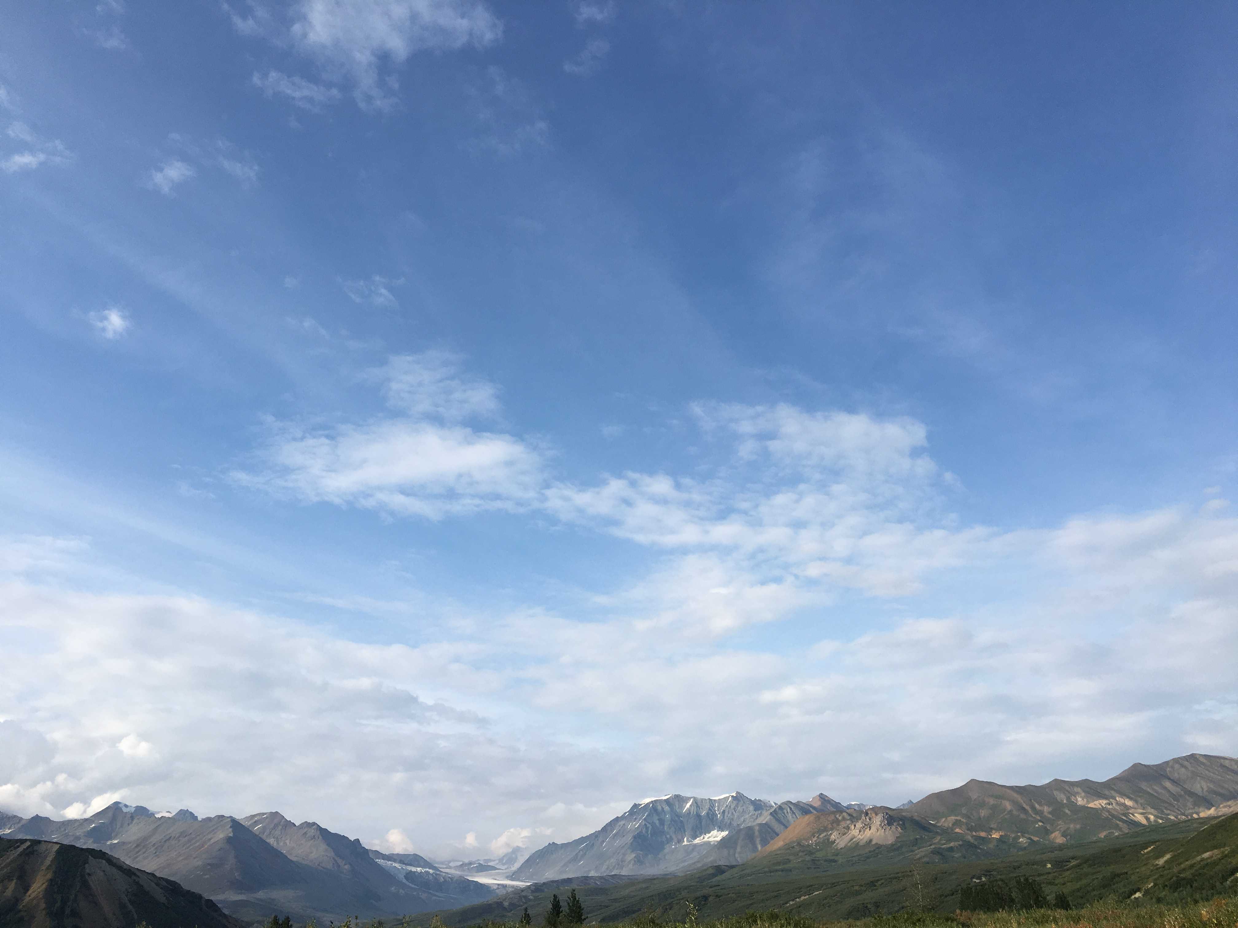
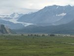
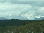
 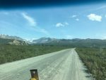 a cool 72 degrees as we very slowly dodged the many and large potholes on the gravel road we had to take to the campsite below the Gulkana Glacier. For the whole drive up to the site, the glacier was just gleaming in the sunlight.
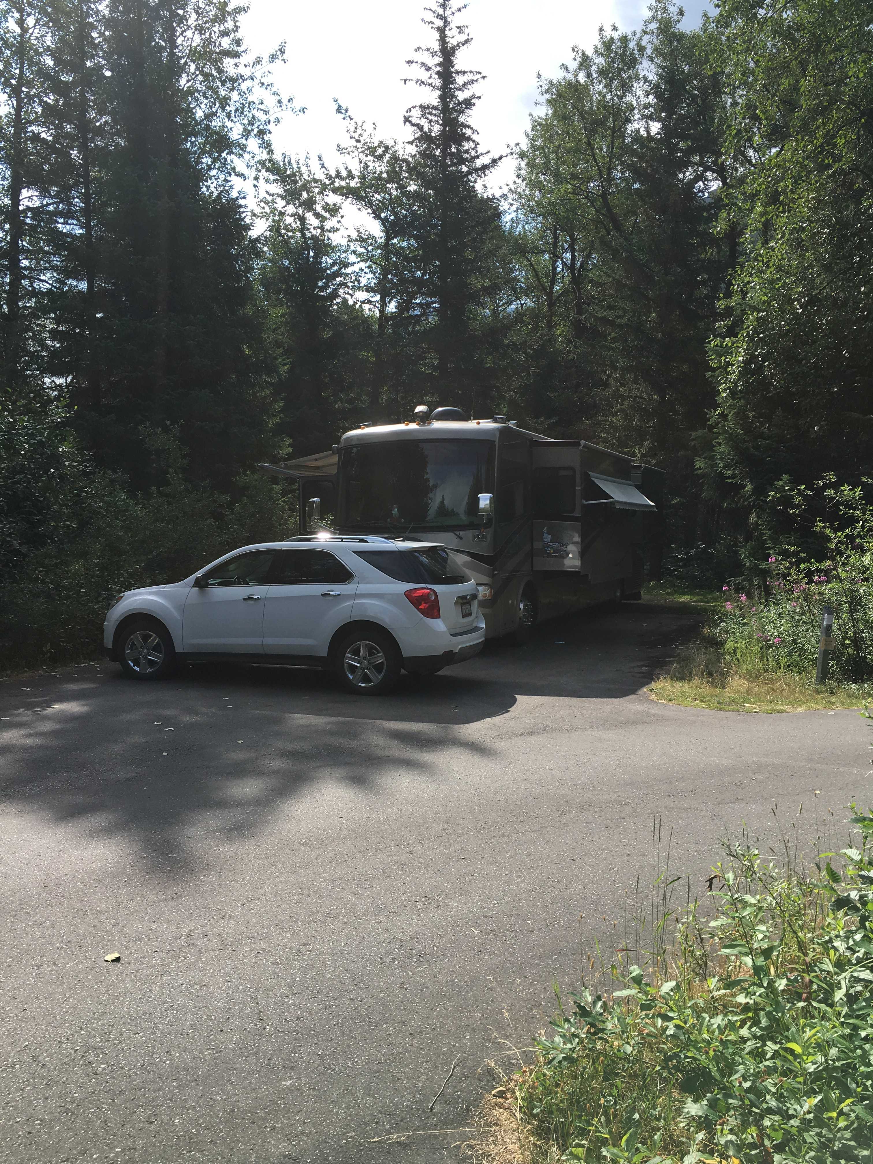
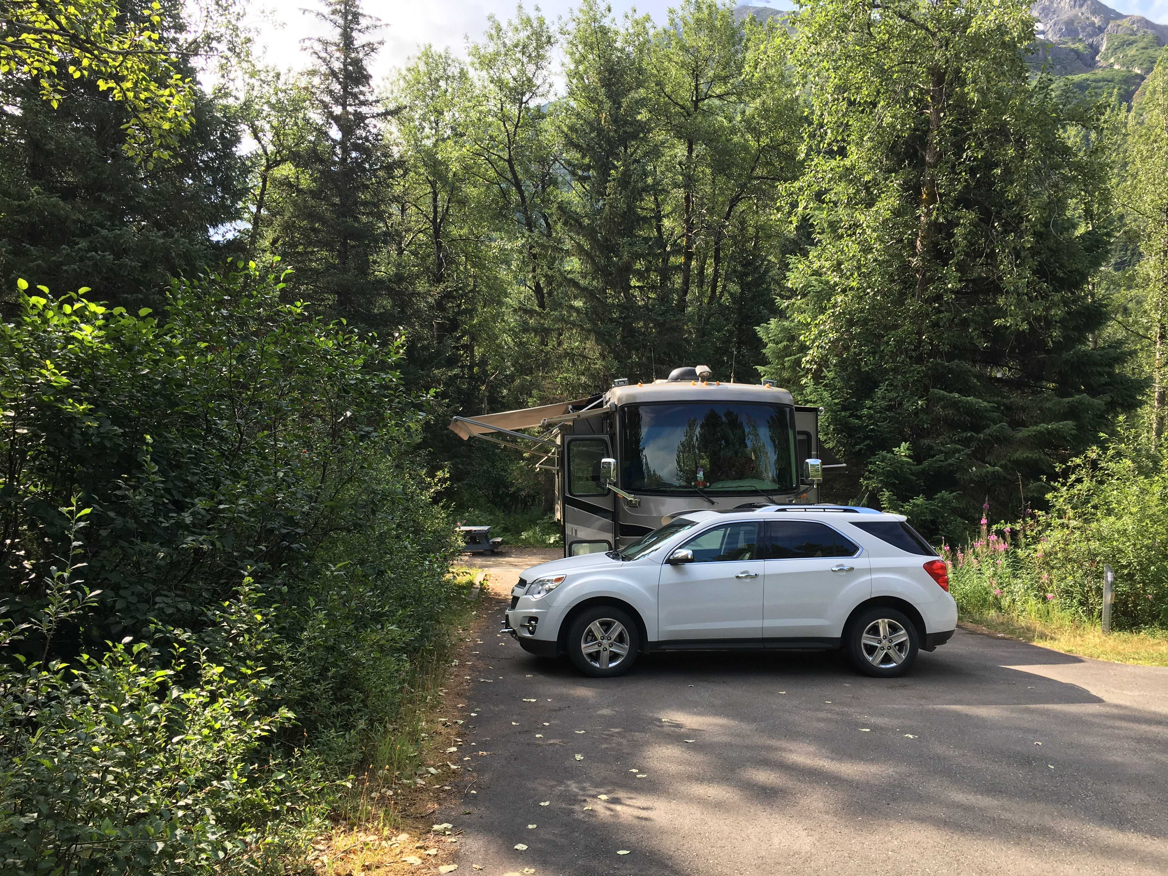
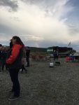
 There were already about 8-10 rigs lined up pointing various ways when we got there. We looked around and found a good spot, mostly east facing so our solar panels could get the most sun while parked. We met
  the hosts, Stacy and Gary and their two dogs, Spirit and Sofie .
I was amazed when I saw all the panels mounted on their RV roof. Turns out it was 2,400 watts for the house and 100 watts for the chassis batteries. And the icing on the cake was their 500 amps of lithium batteries (@24v) That’s 1,000 amps to us mere mortals using 12v systems, or 800 amp-hours usable.
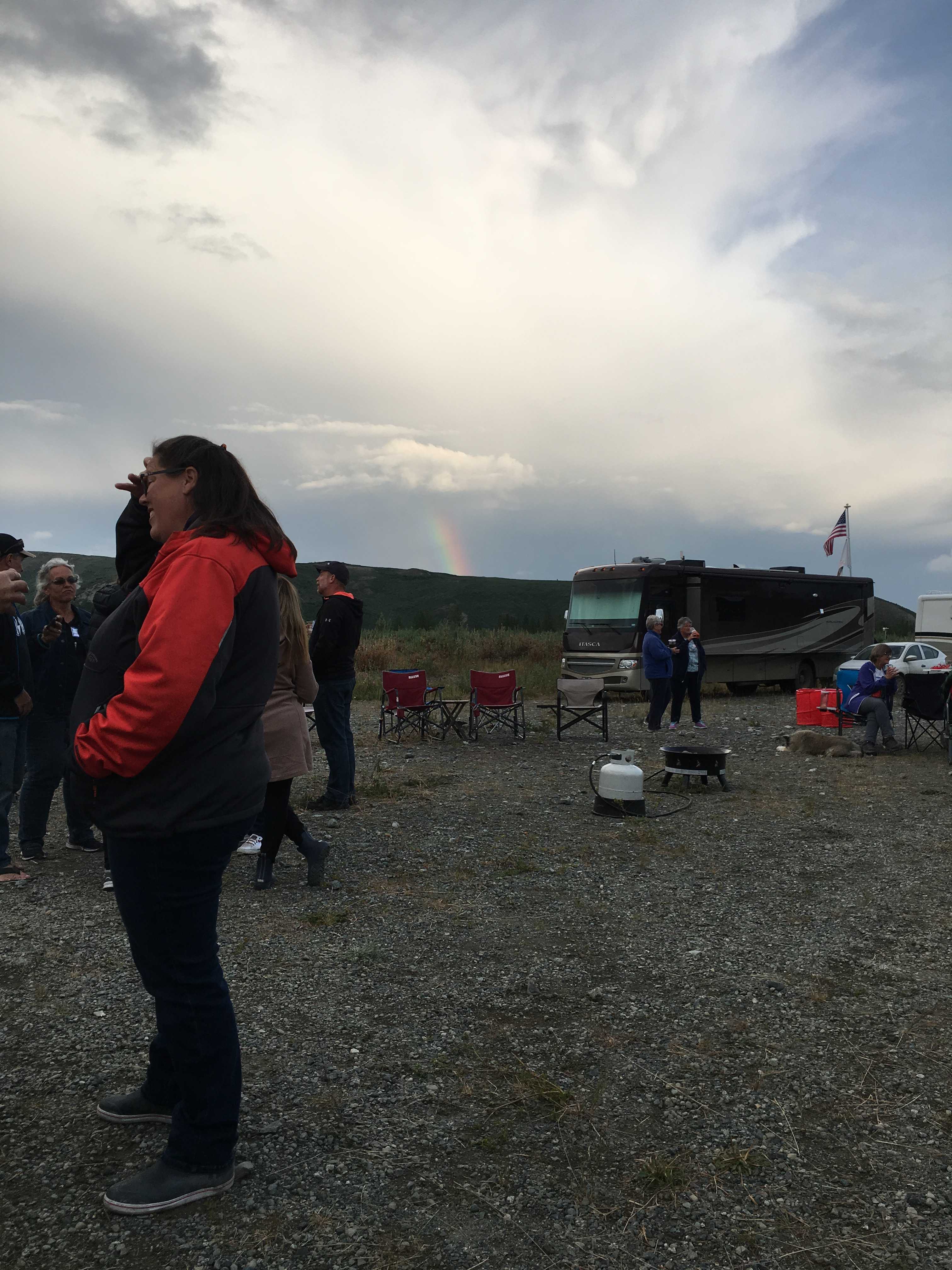
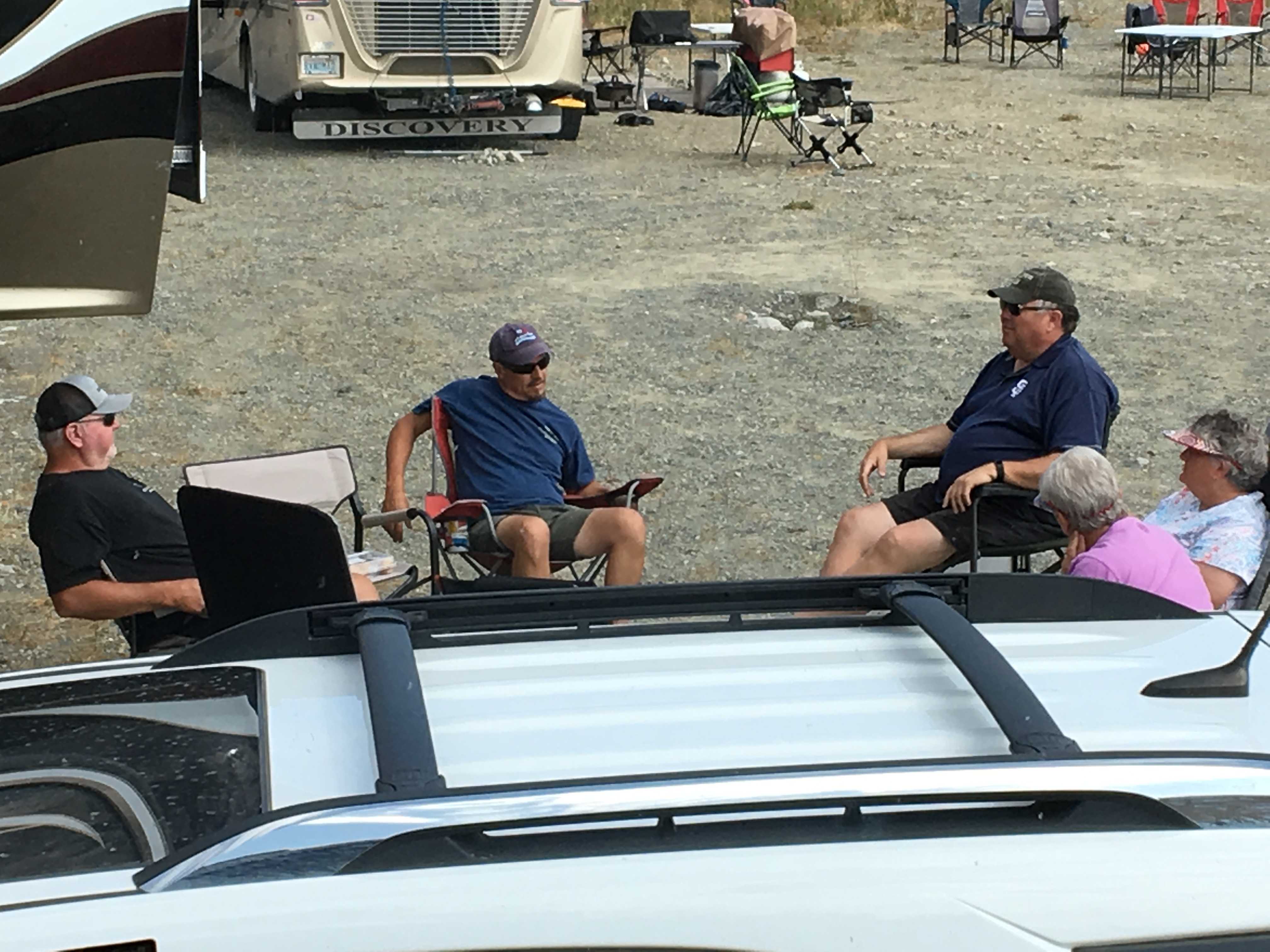
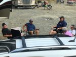
 That evening we got to meet about 50 or so other Xscapers. There were more than 20 RV’s by then and a few more came in the next day or so. To everyone’s surprise, at least 75% of
 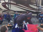 them were first-timers.. as were we. It seems everyone also had the fake fire rings to bring to the social hour, and blueberry margaritas! Sweet, literally and figuratively.
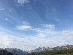
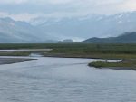
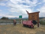
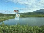
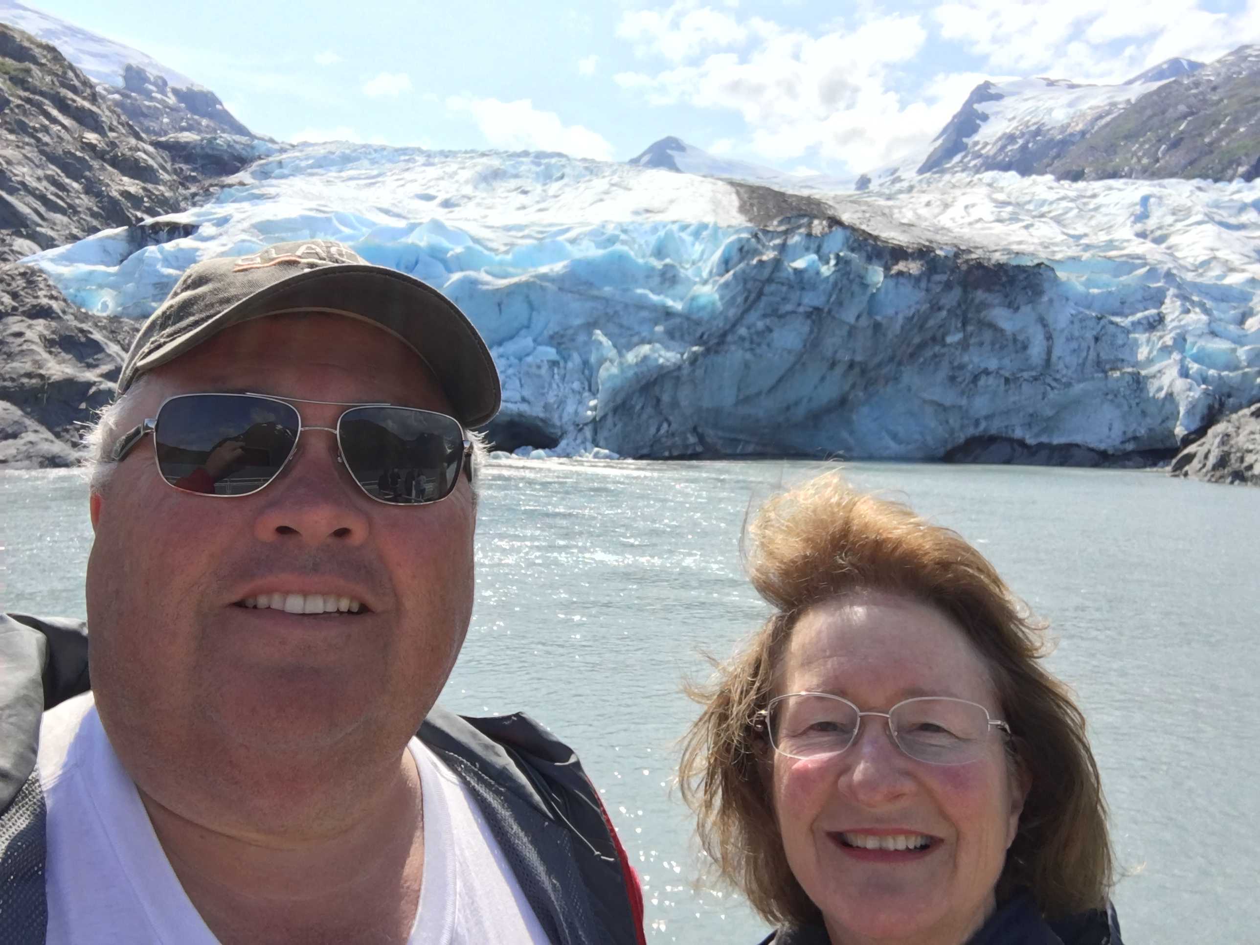
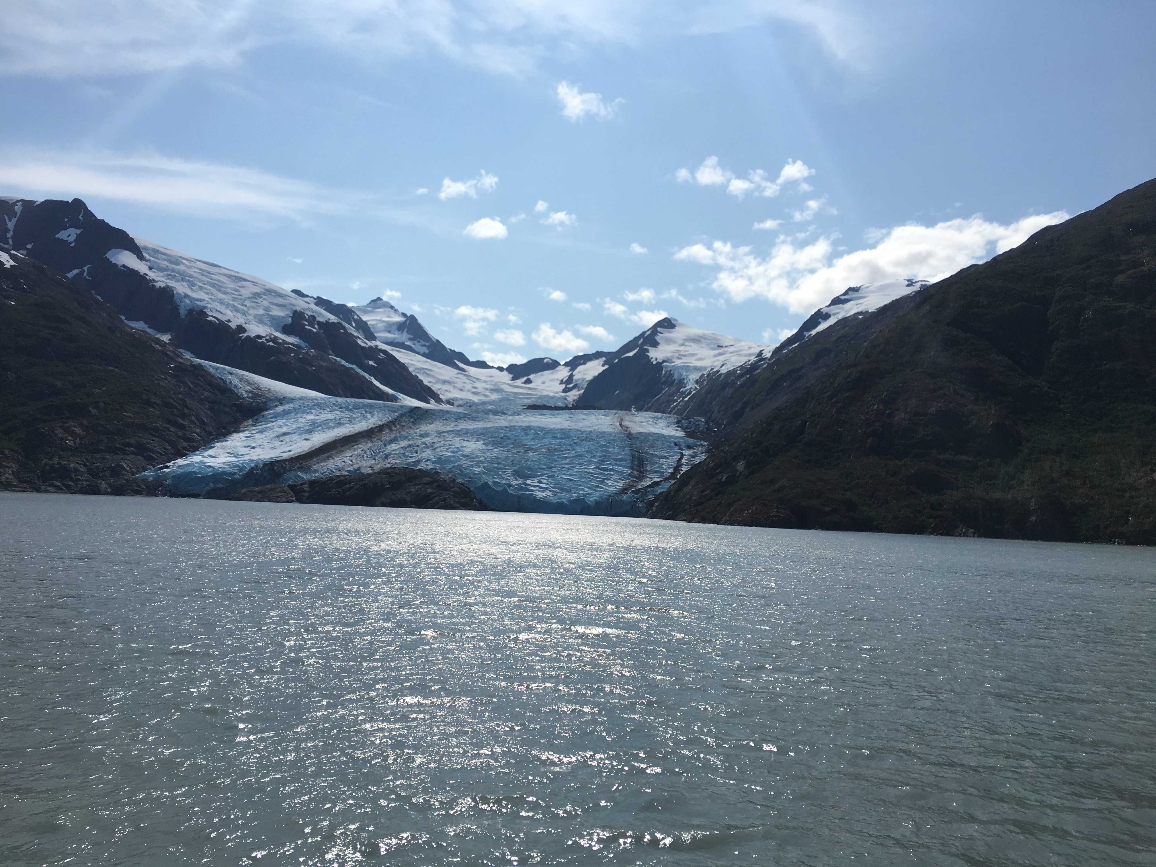
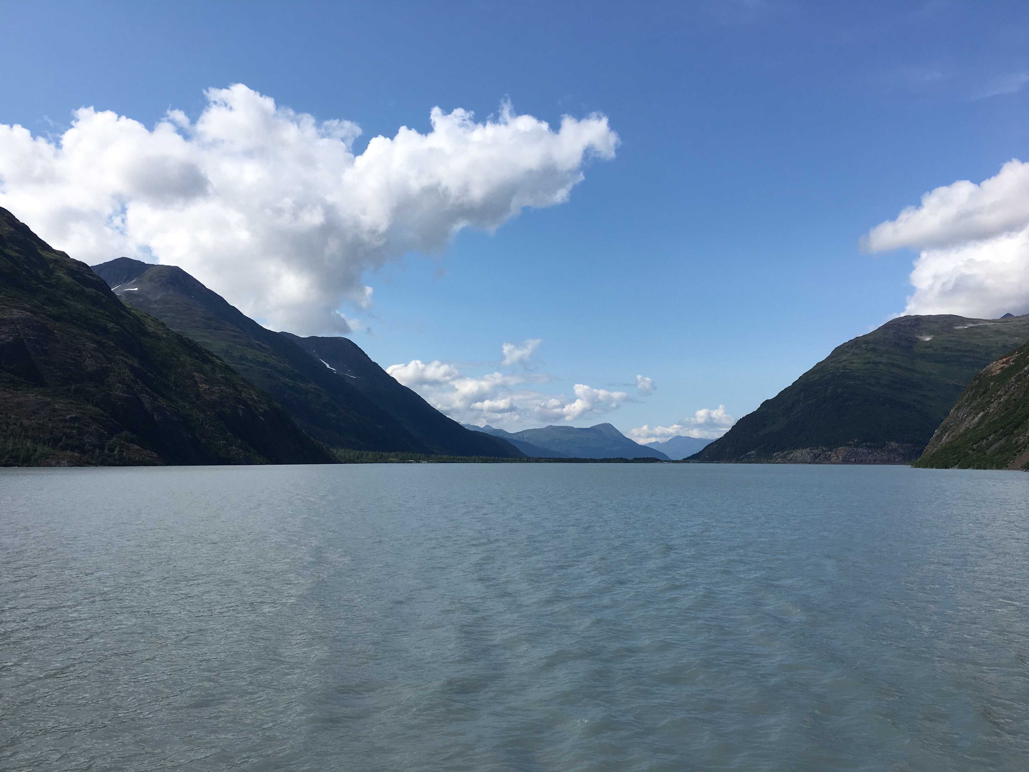
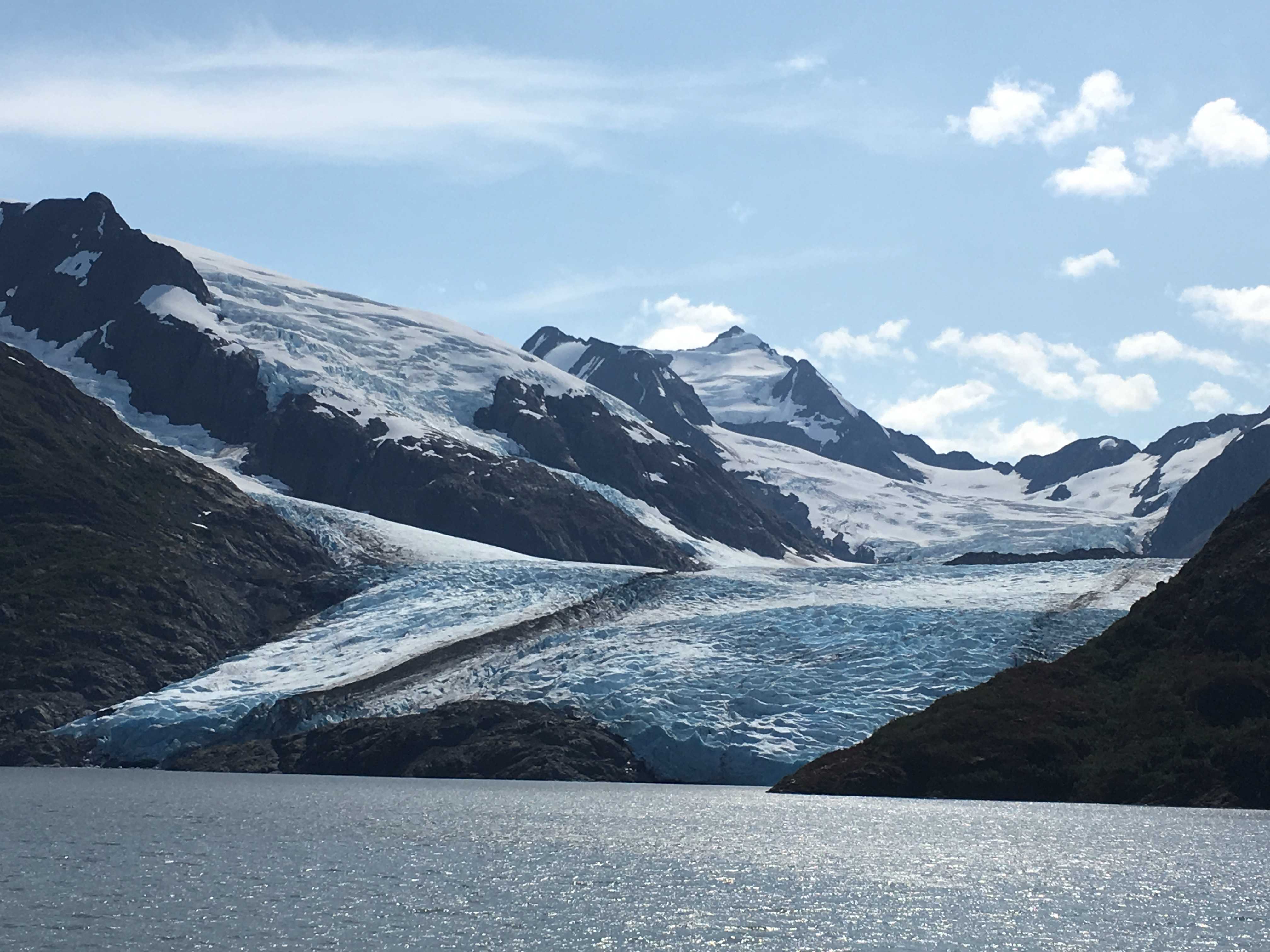
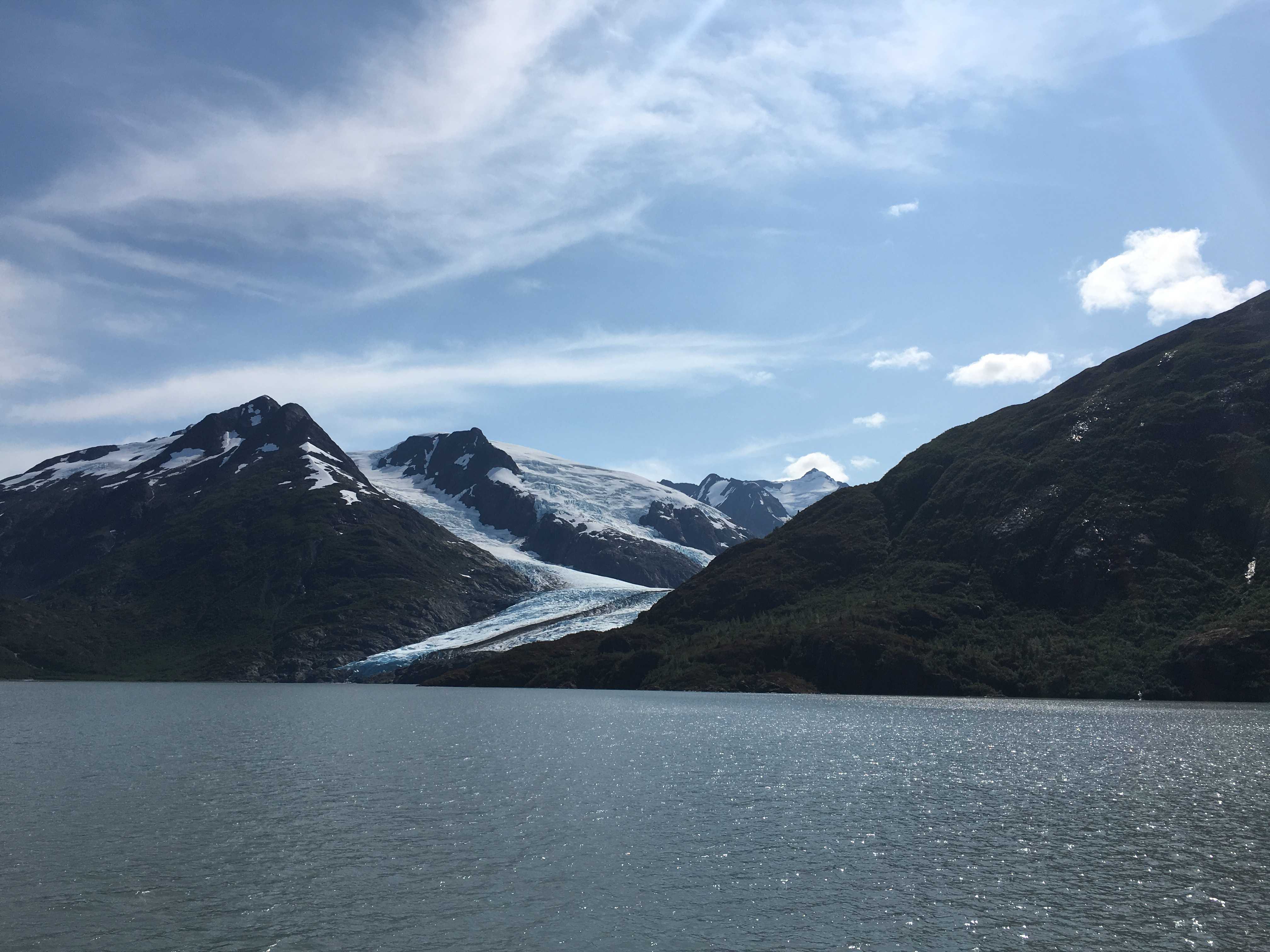
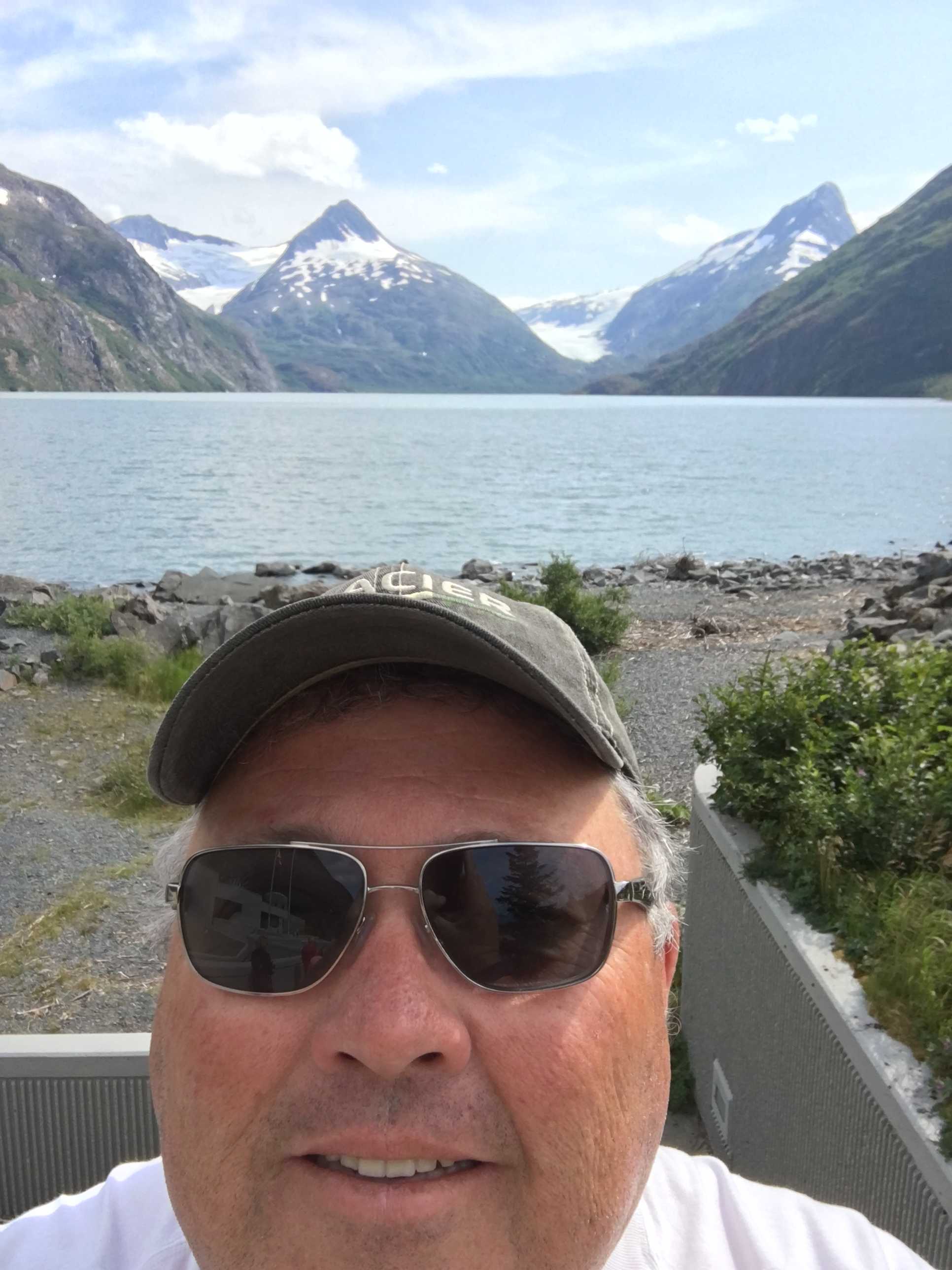
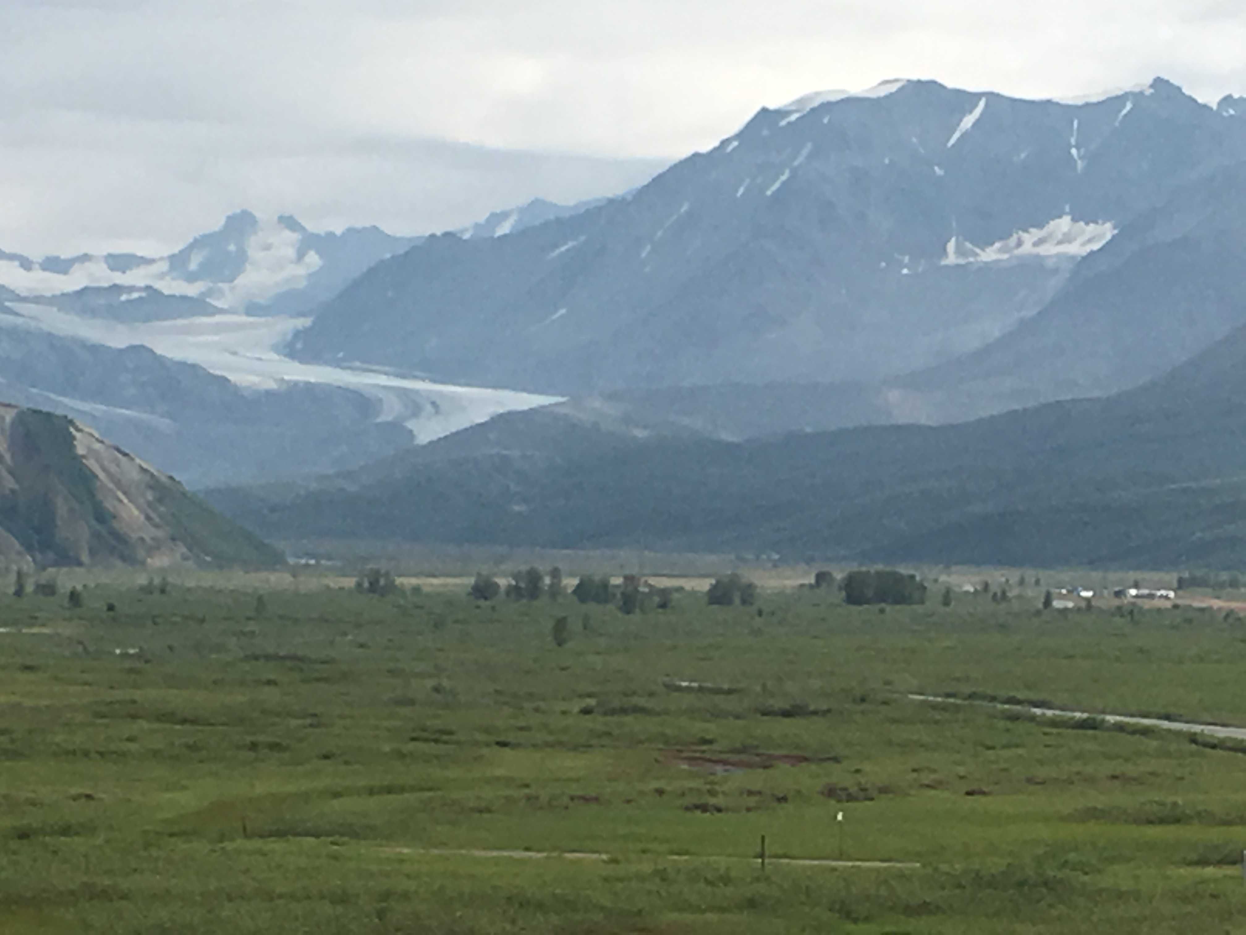
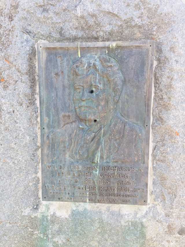
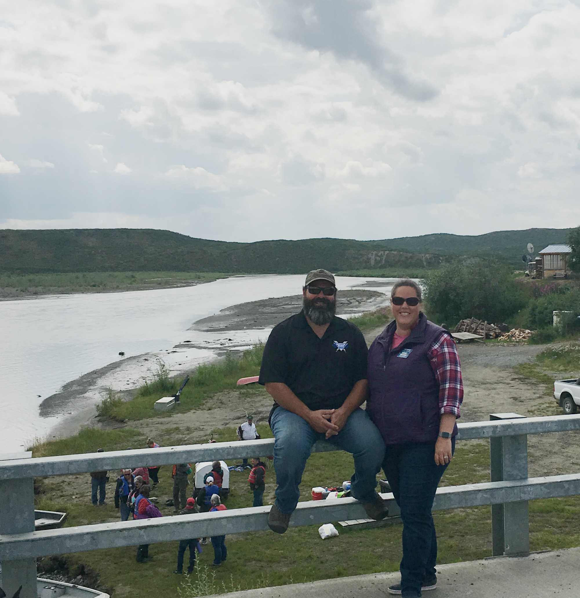
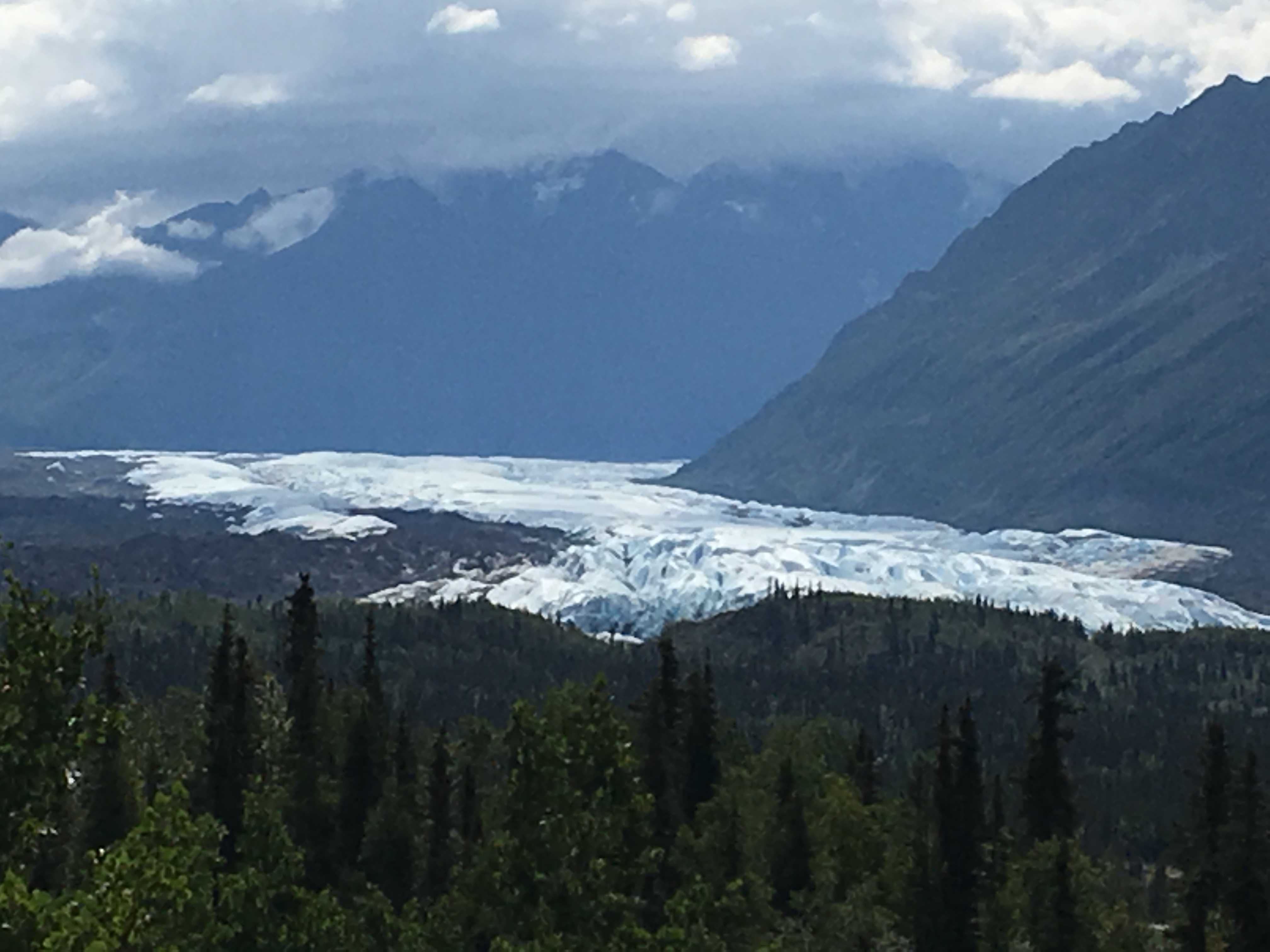
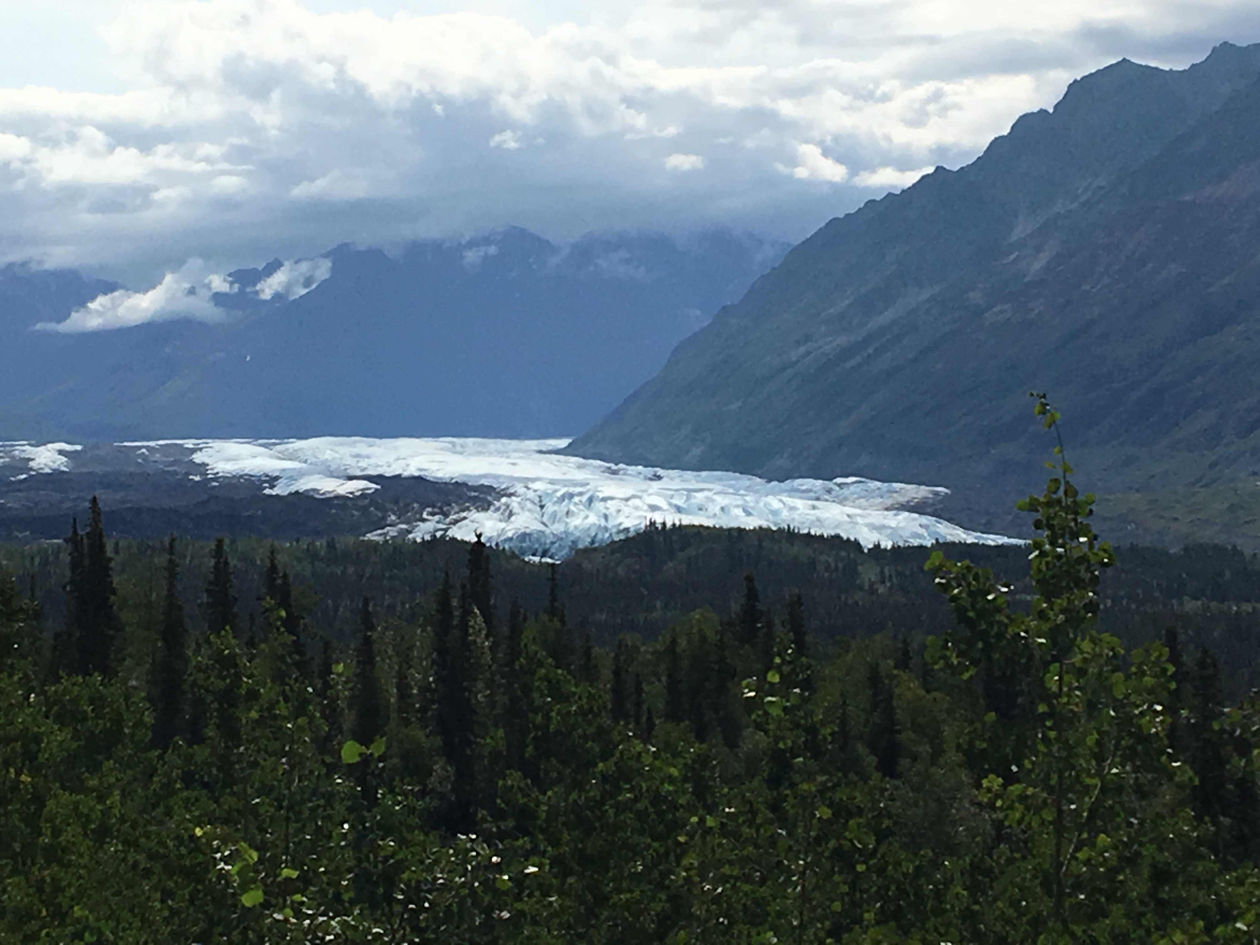
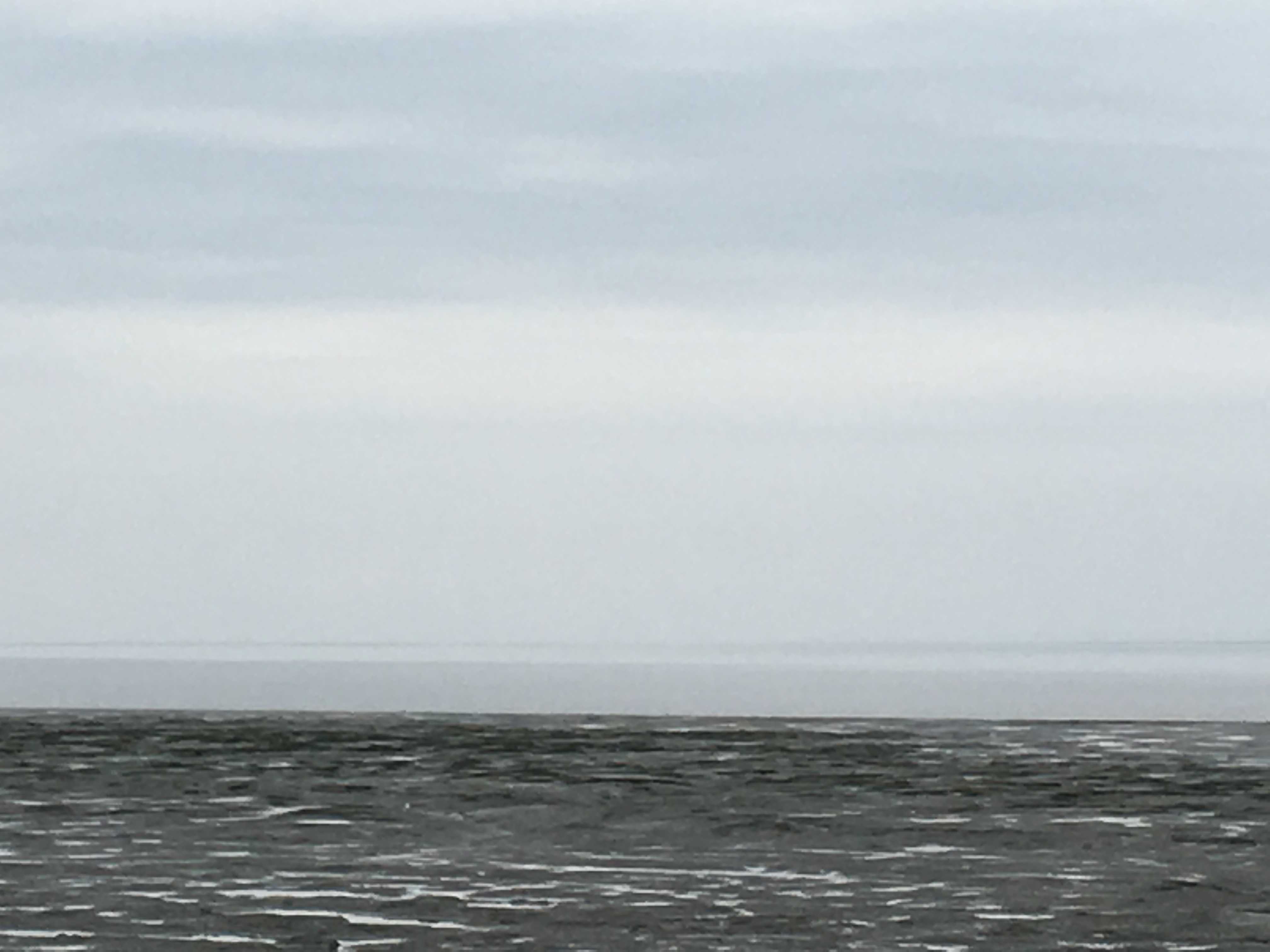
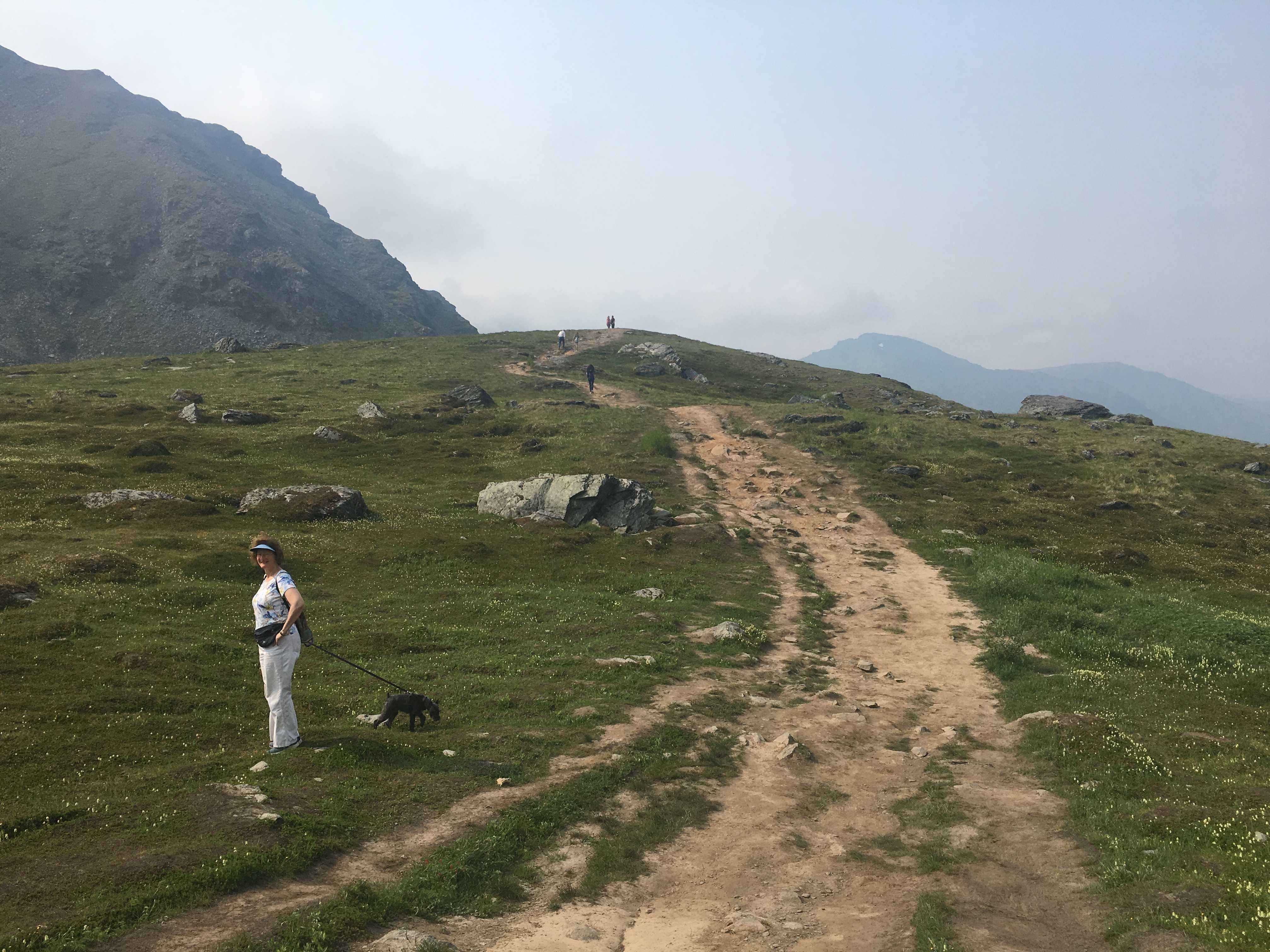
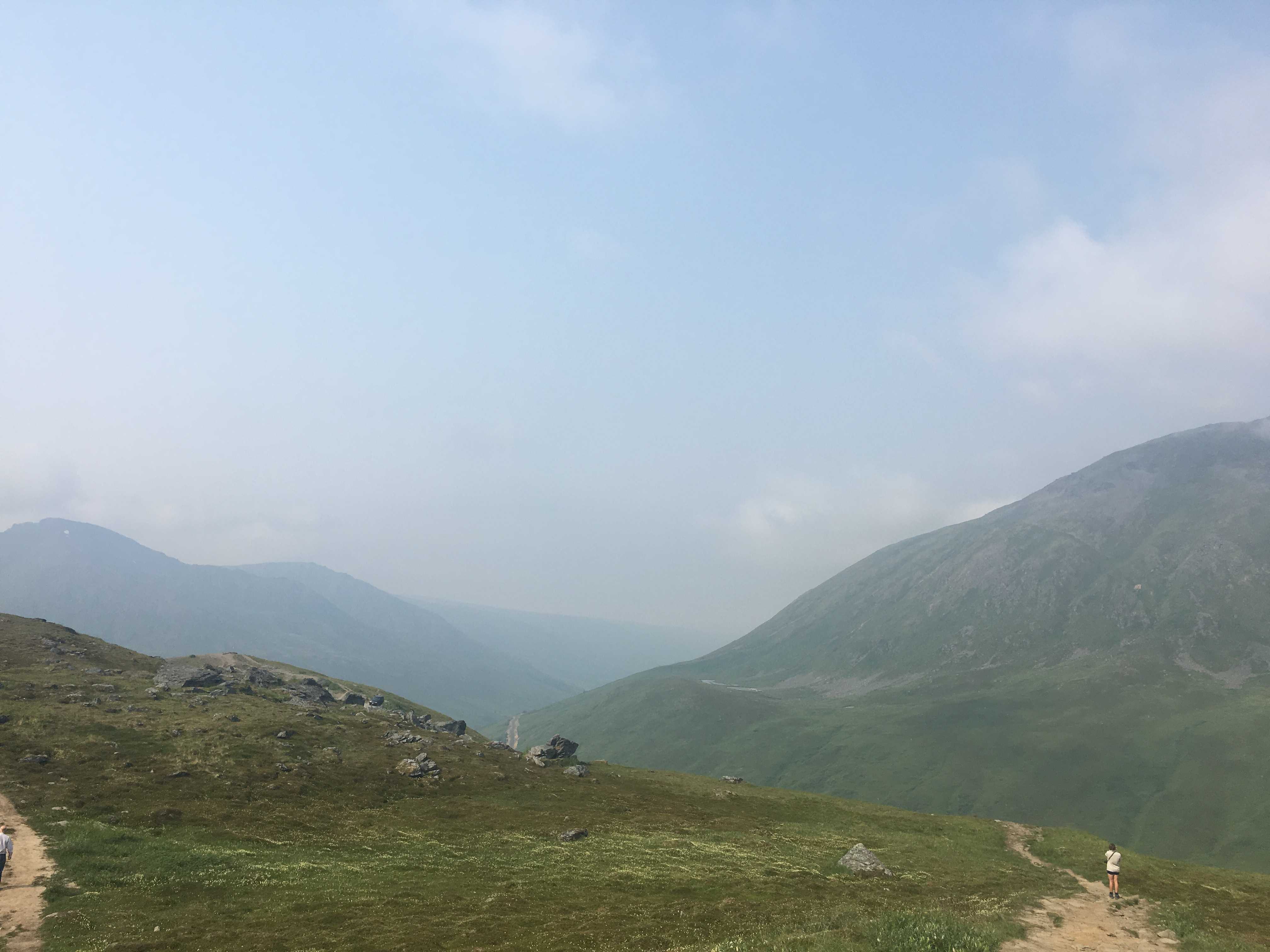
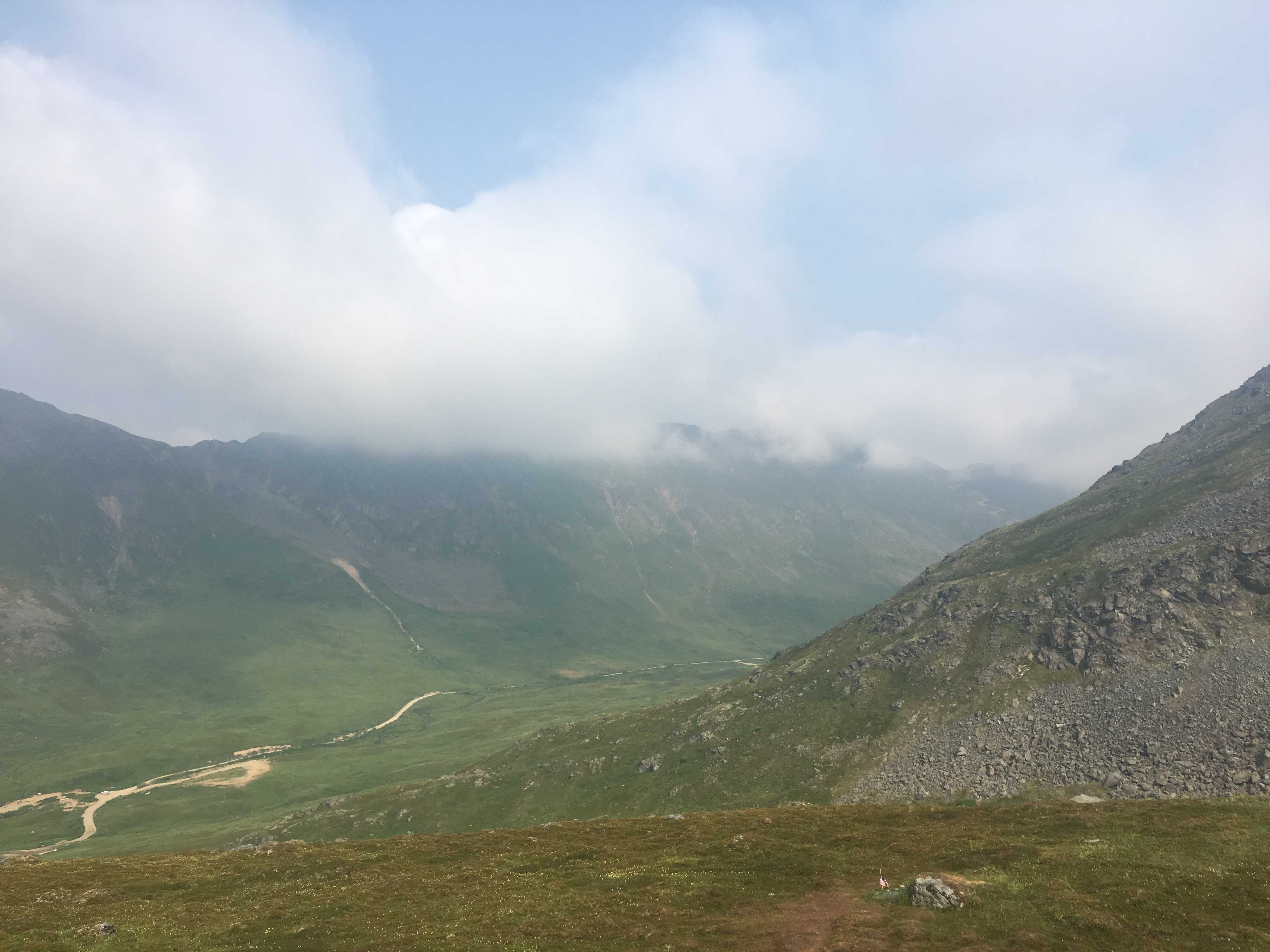
In the morning I took the car out to the highway so we could download a few TV shows as we didn’t have any 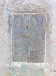 signal at the airstrip we were camping on, 1.8 miles east of the highway. While I was there in the Monument parking lot, I snapped a few pics showing where we were and the view of the glacier and of course the Stewart monument with the bullet hole in his head.
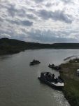
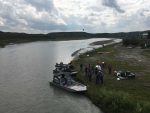
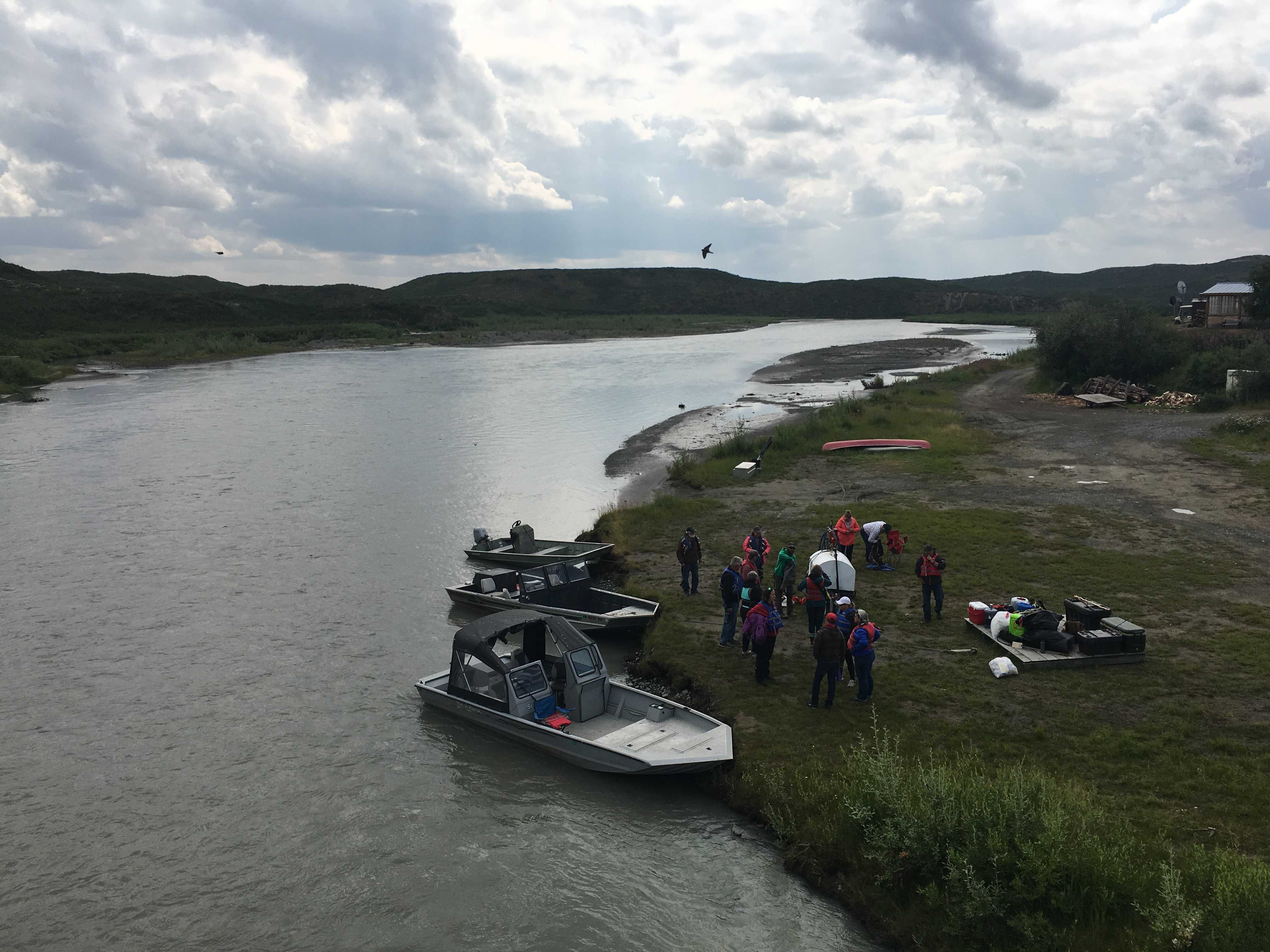
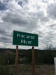 On Saturday morning most of the attendees left for a jet
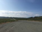
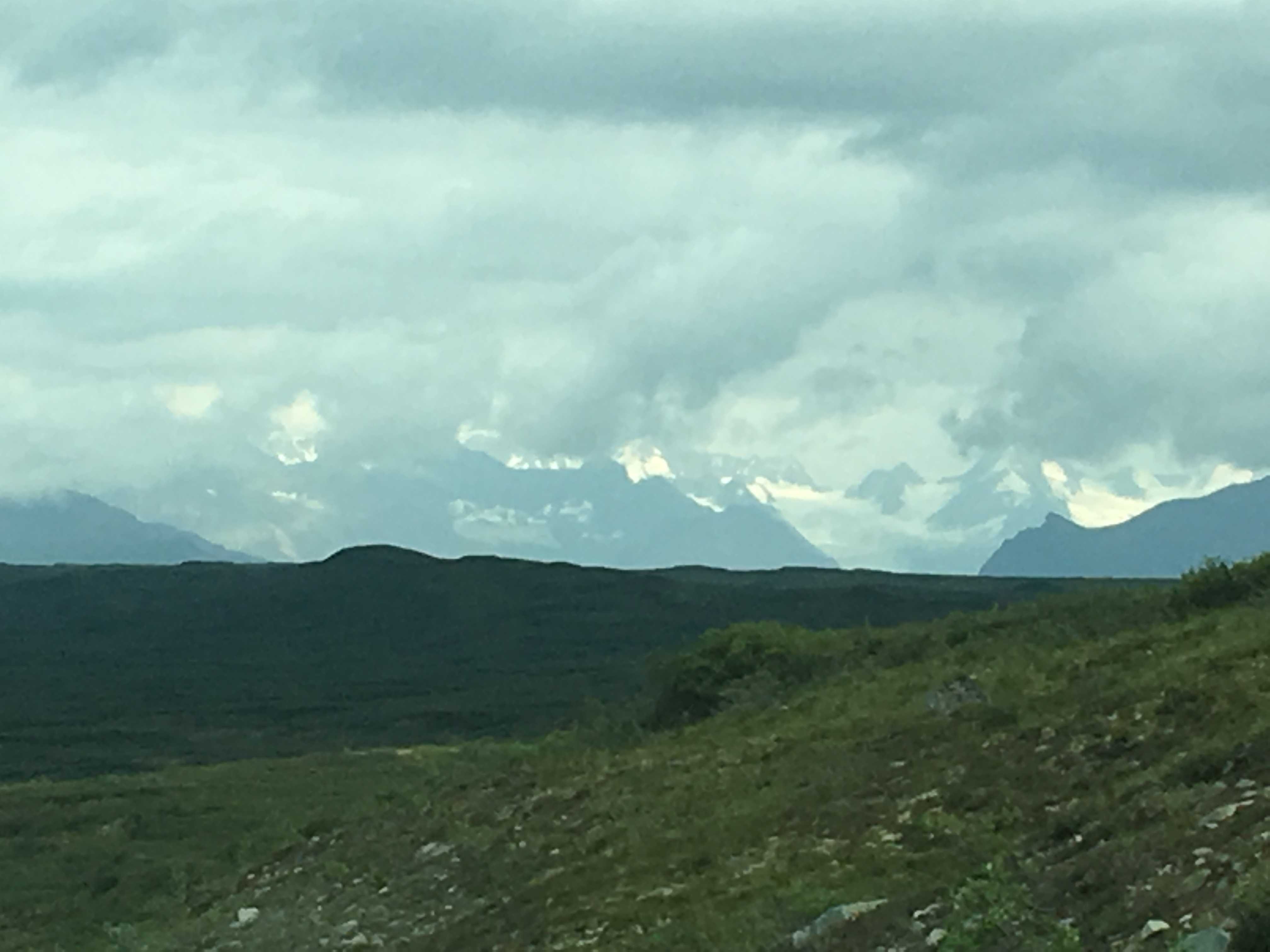
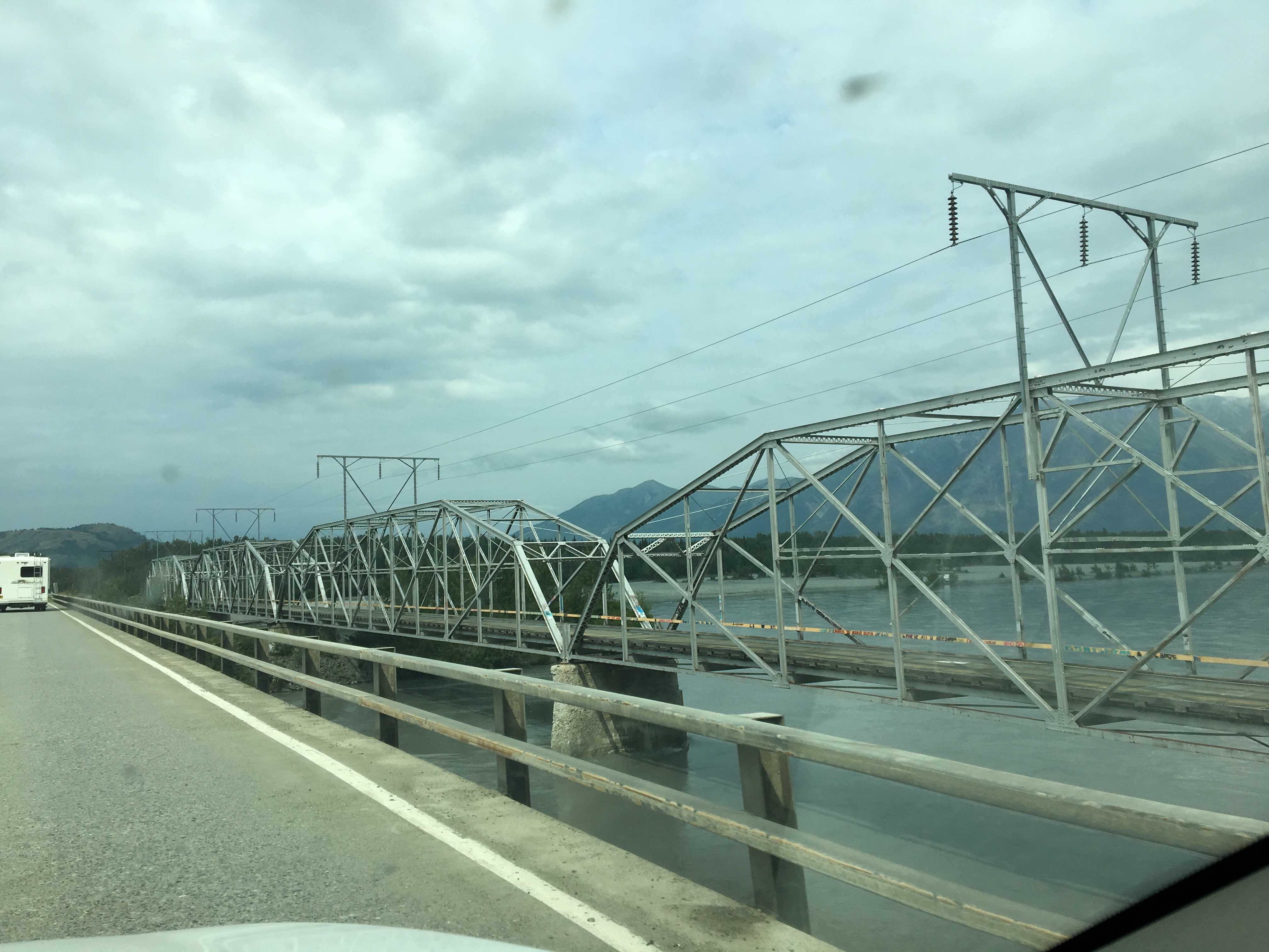
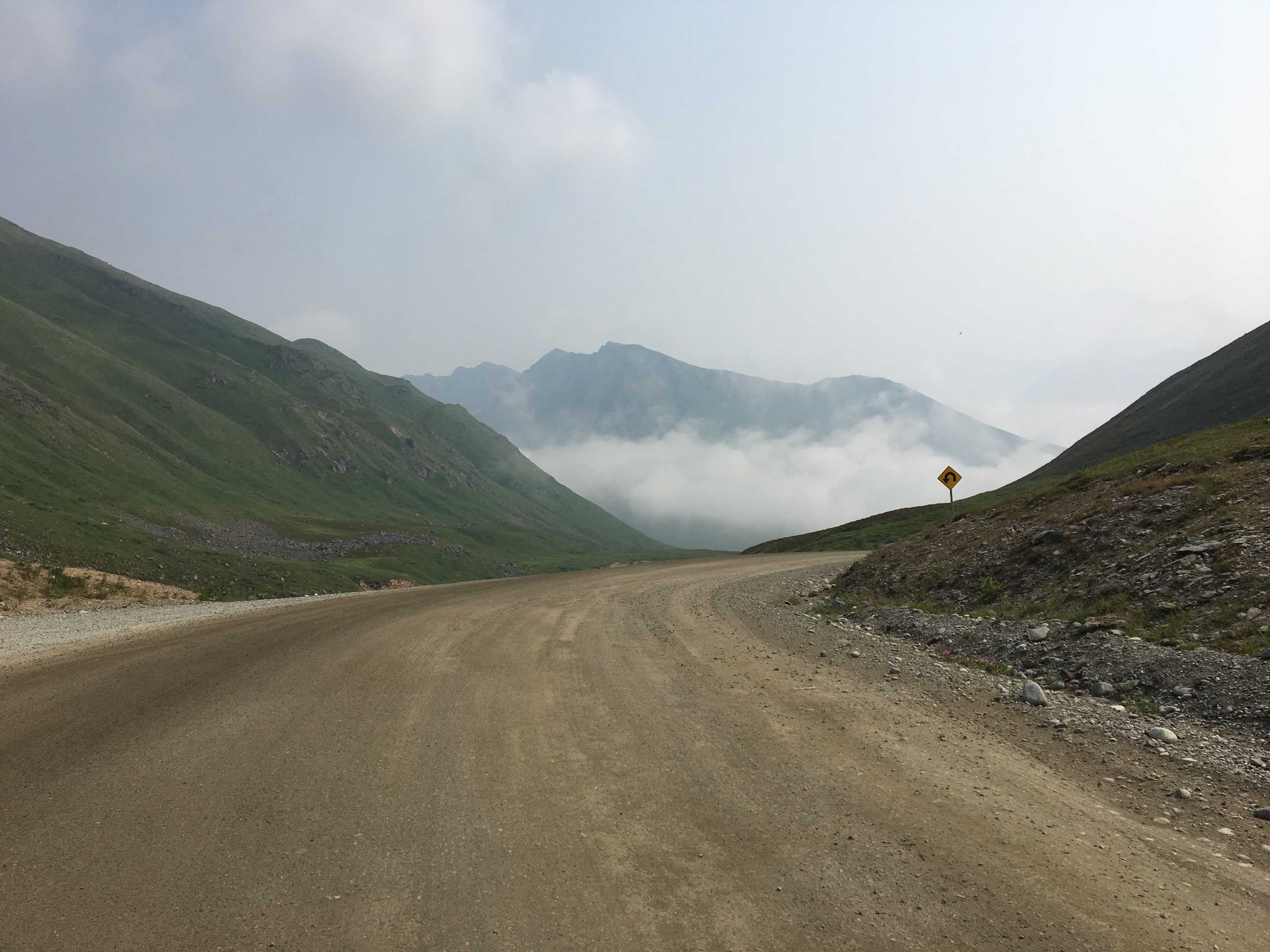
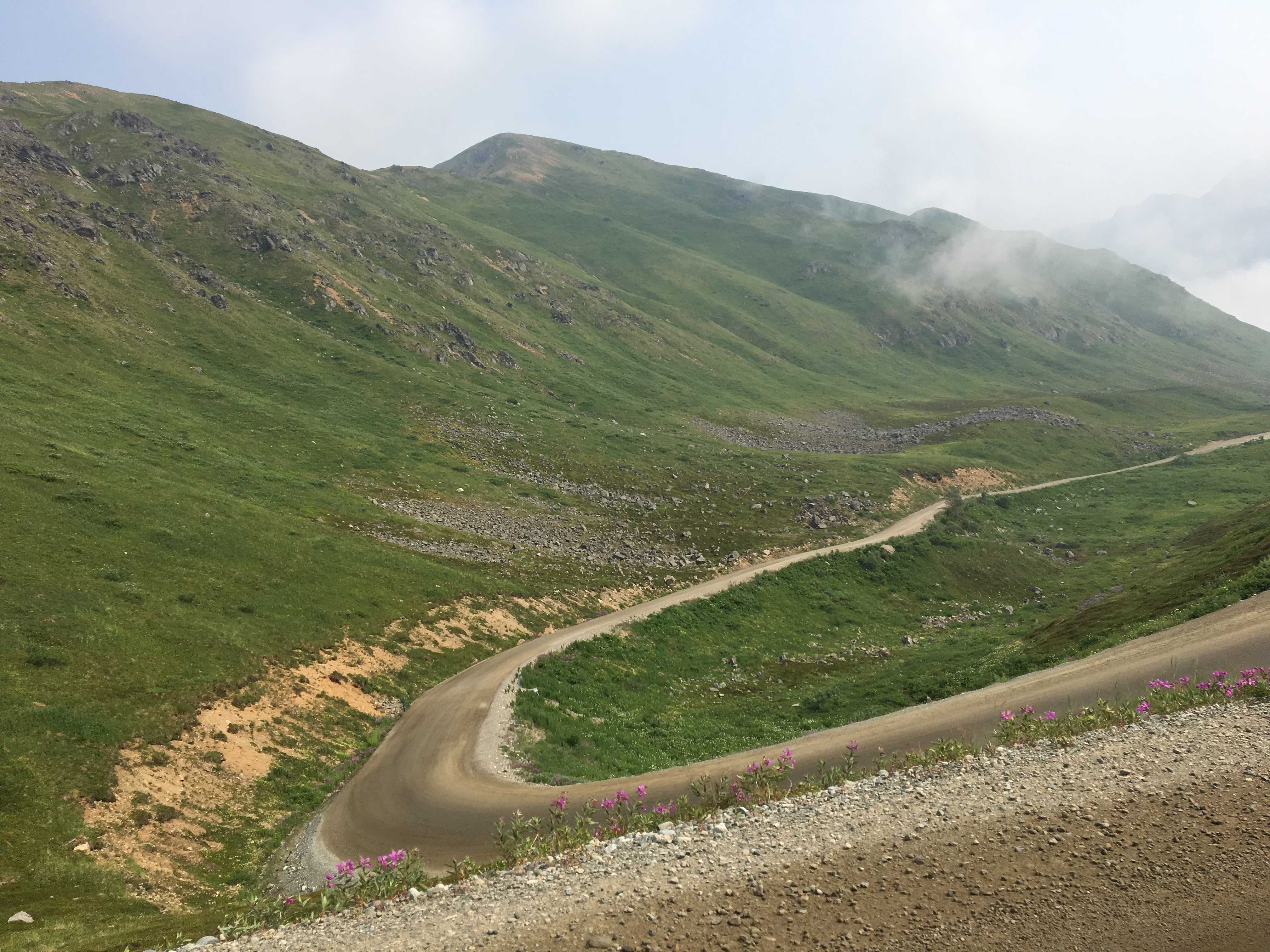
 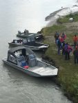 boat tour from the MacLaren River Lodge. It was about 40 miles down the Denali Highway. The first 24 miles were paved, and then it turned into “Alaska Gravel,” a rough, washboard and potholed mess. It was a beautiful drive according to Kathy. I was too busy to see that as I was scanning as far down the road as I could in an attempt to miss the holes.
We didn’t get on the list for the 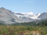 boat tour as I wasn’t going into Facebook enough to get onto the list prior to it filling up, so we went anyway to
 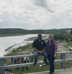 have a lunch with everybody at the lodge.
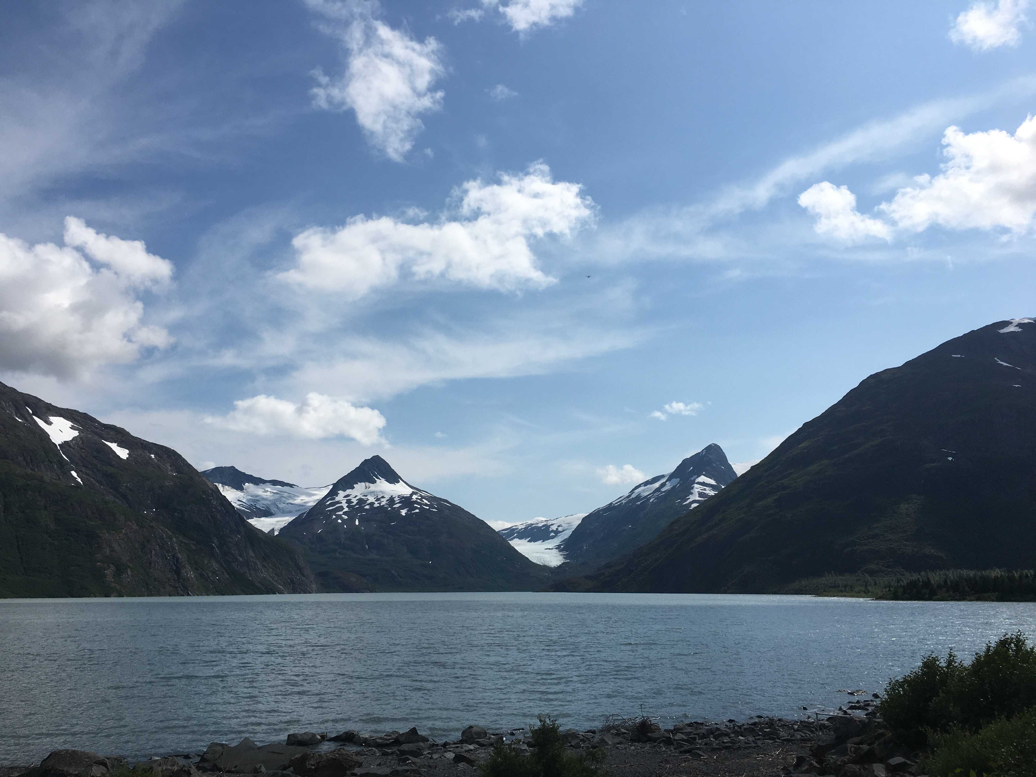
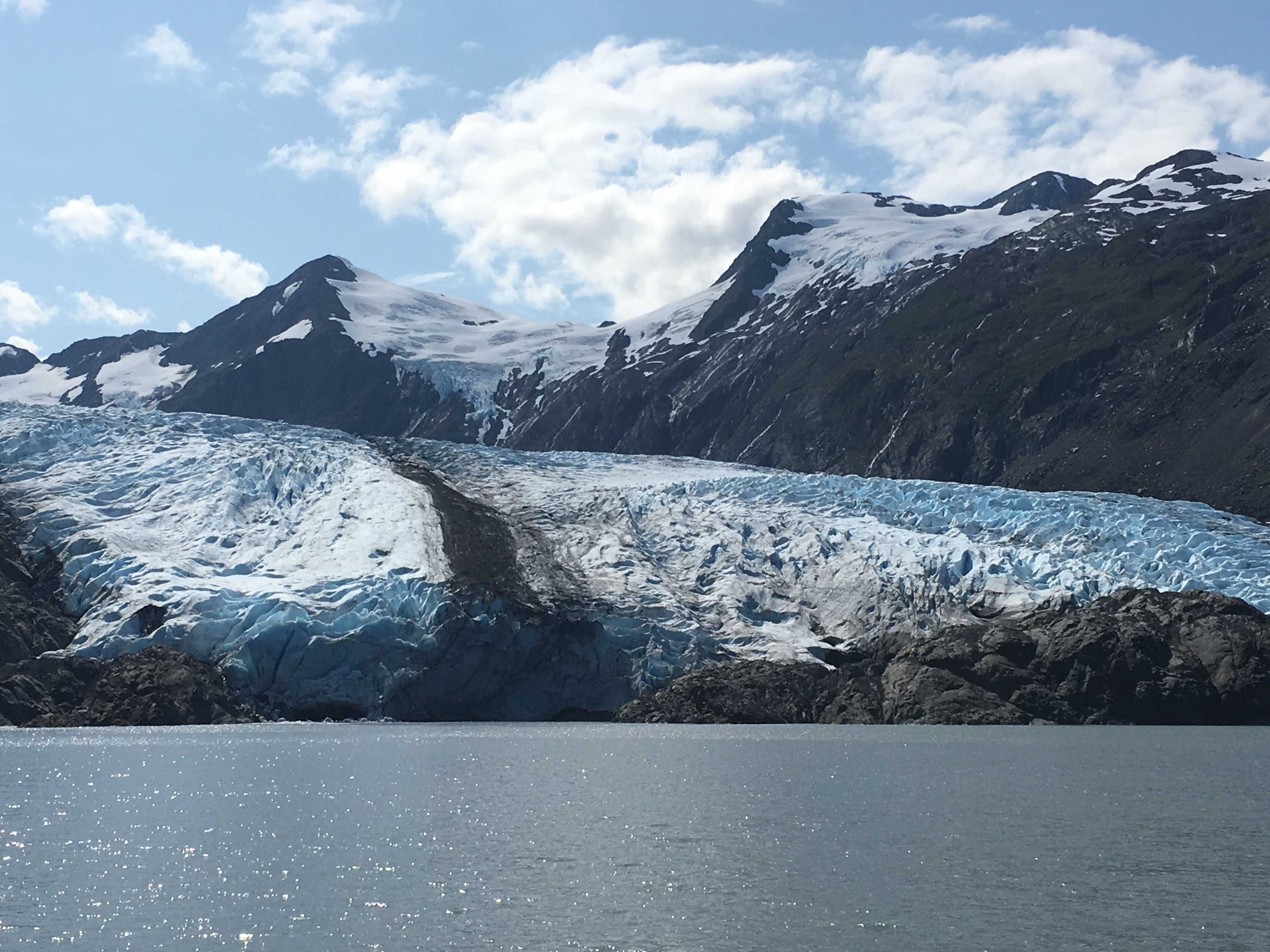
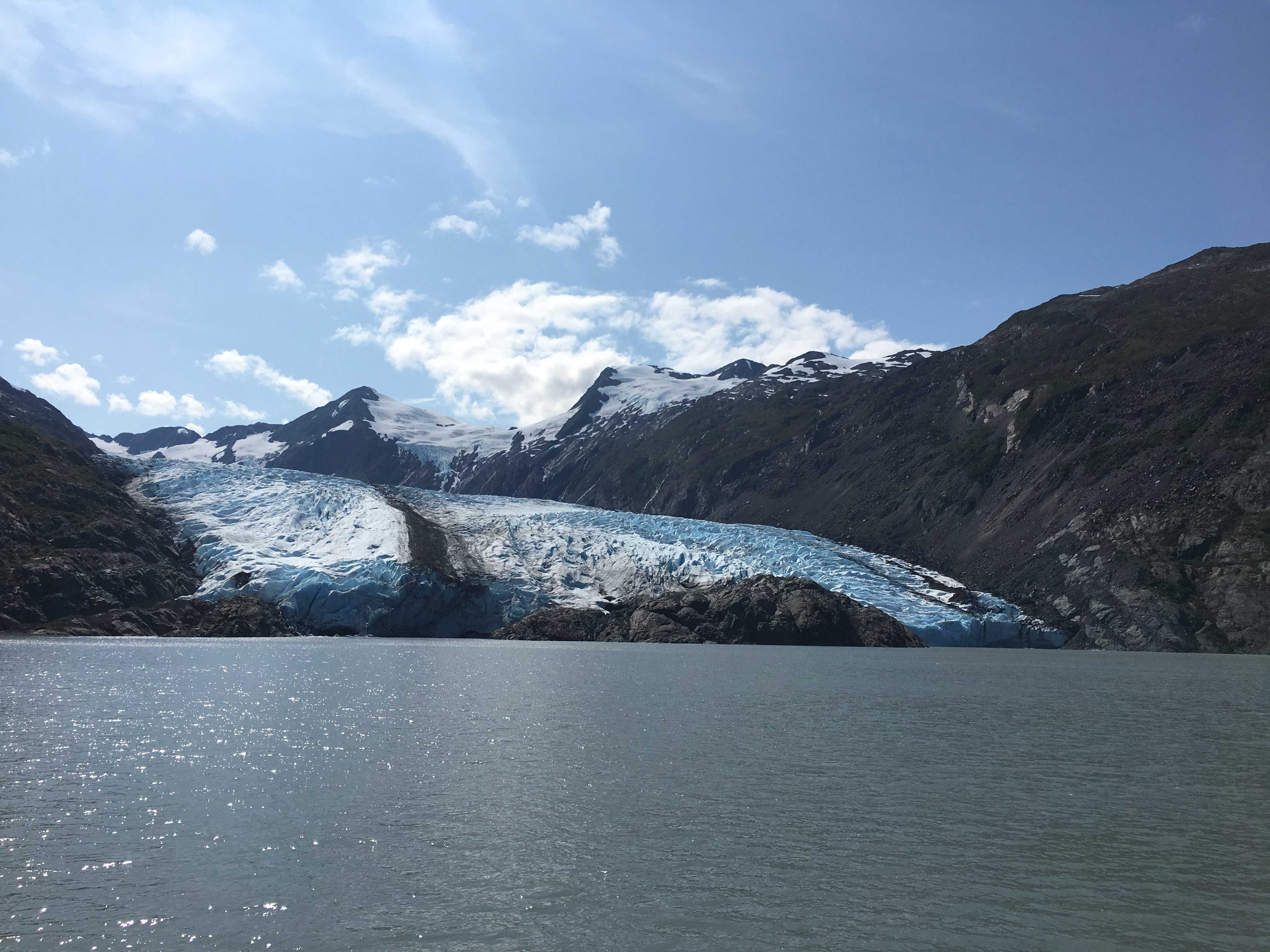
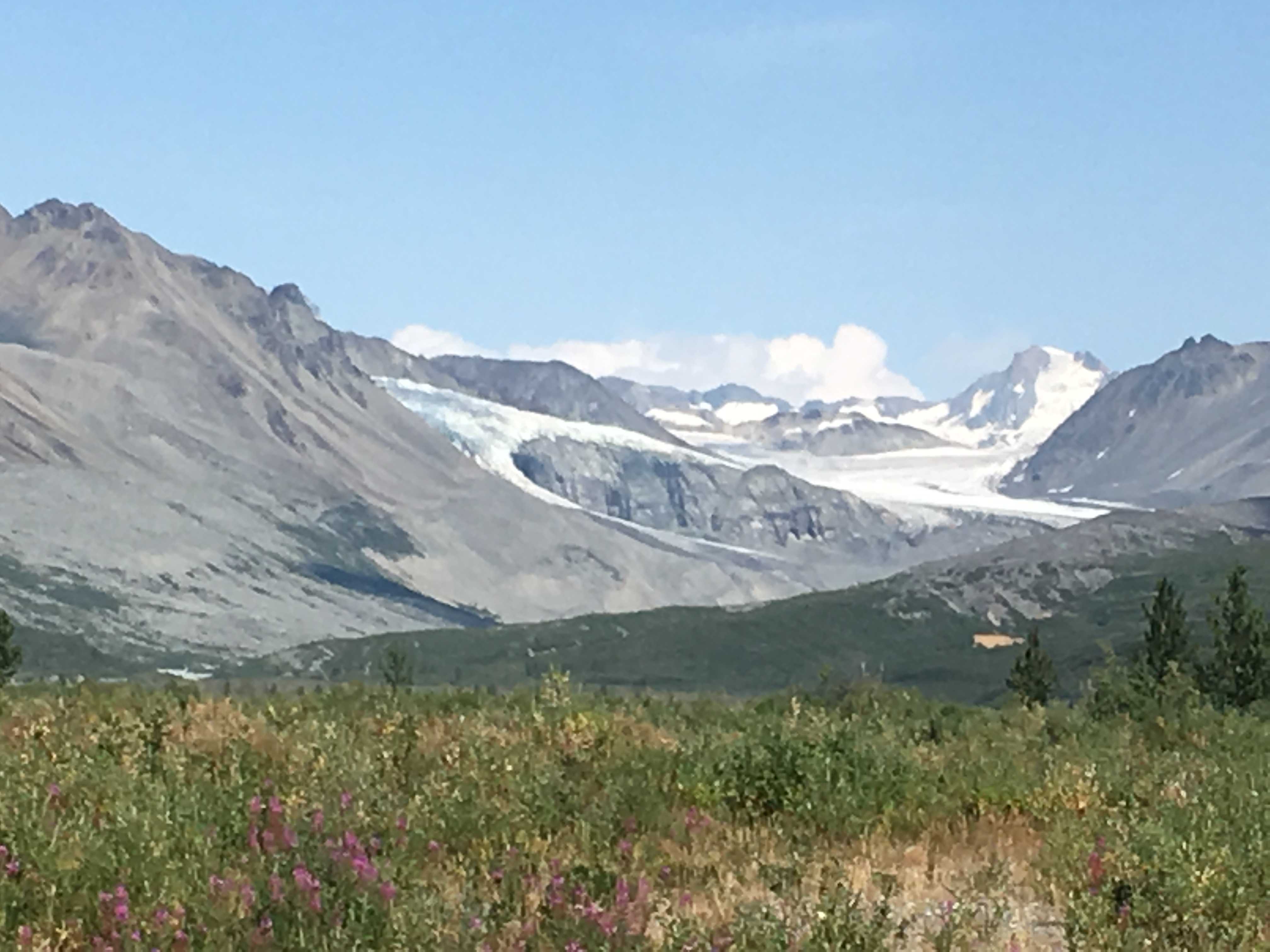
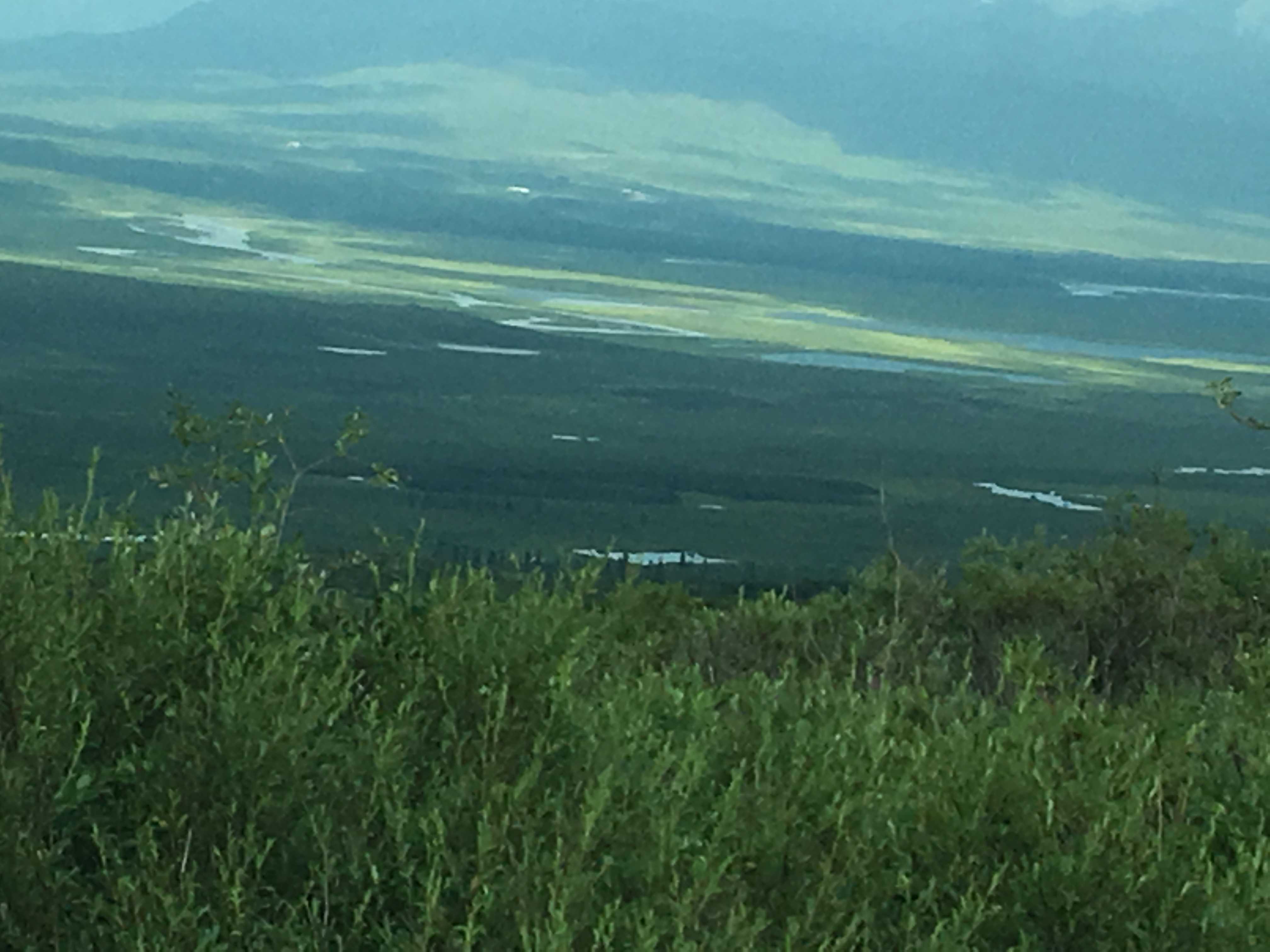
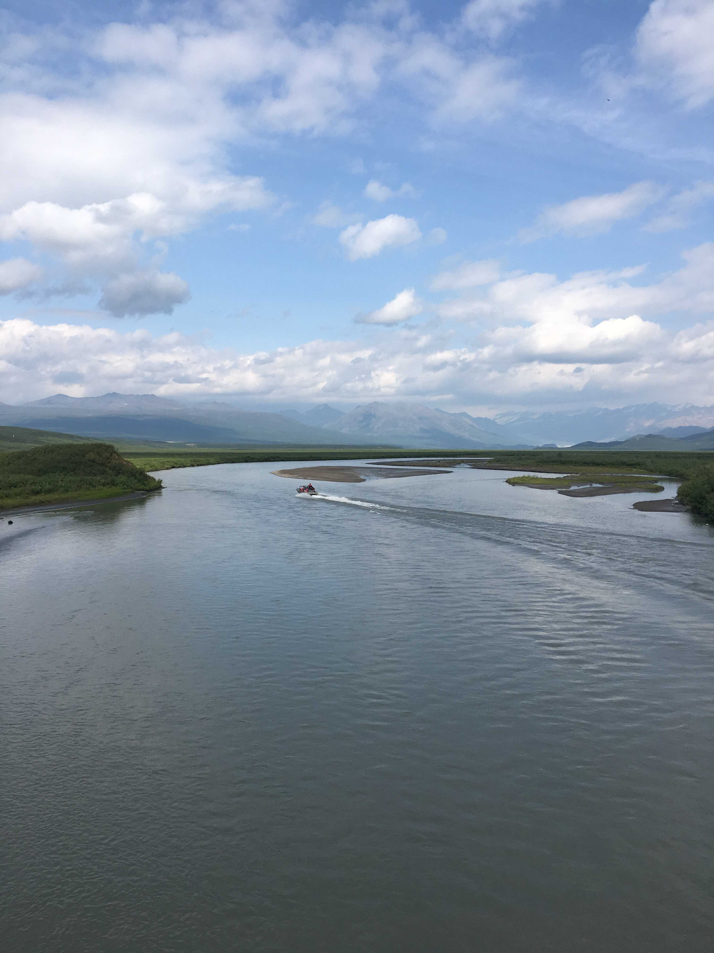
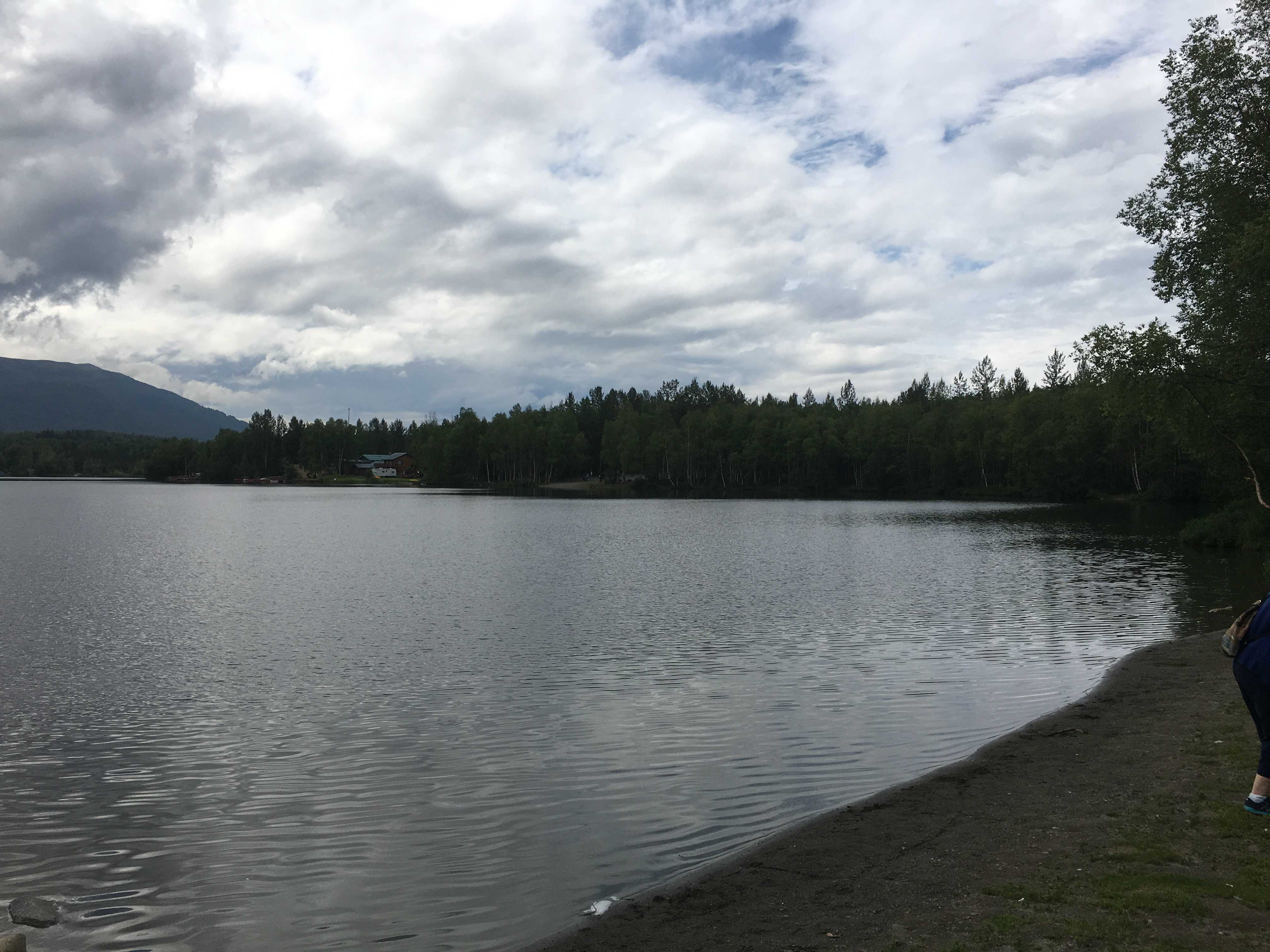
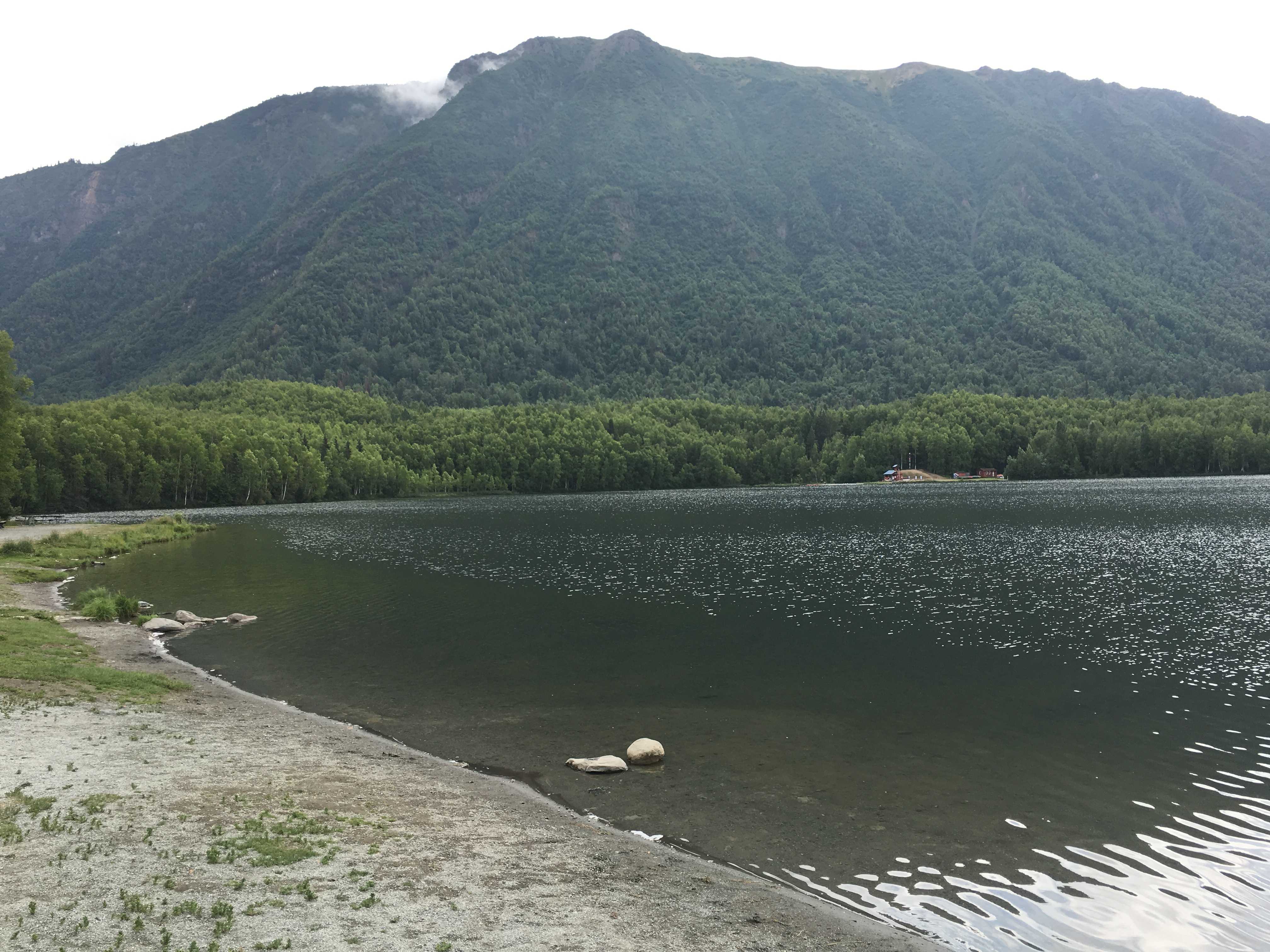
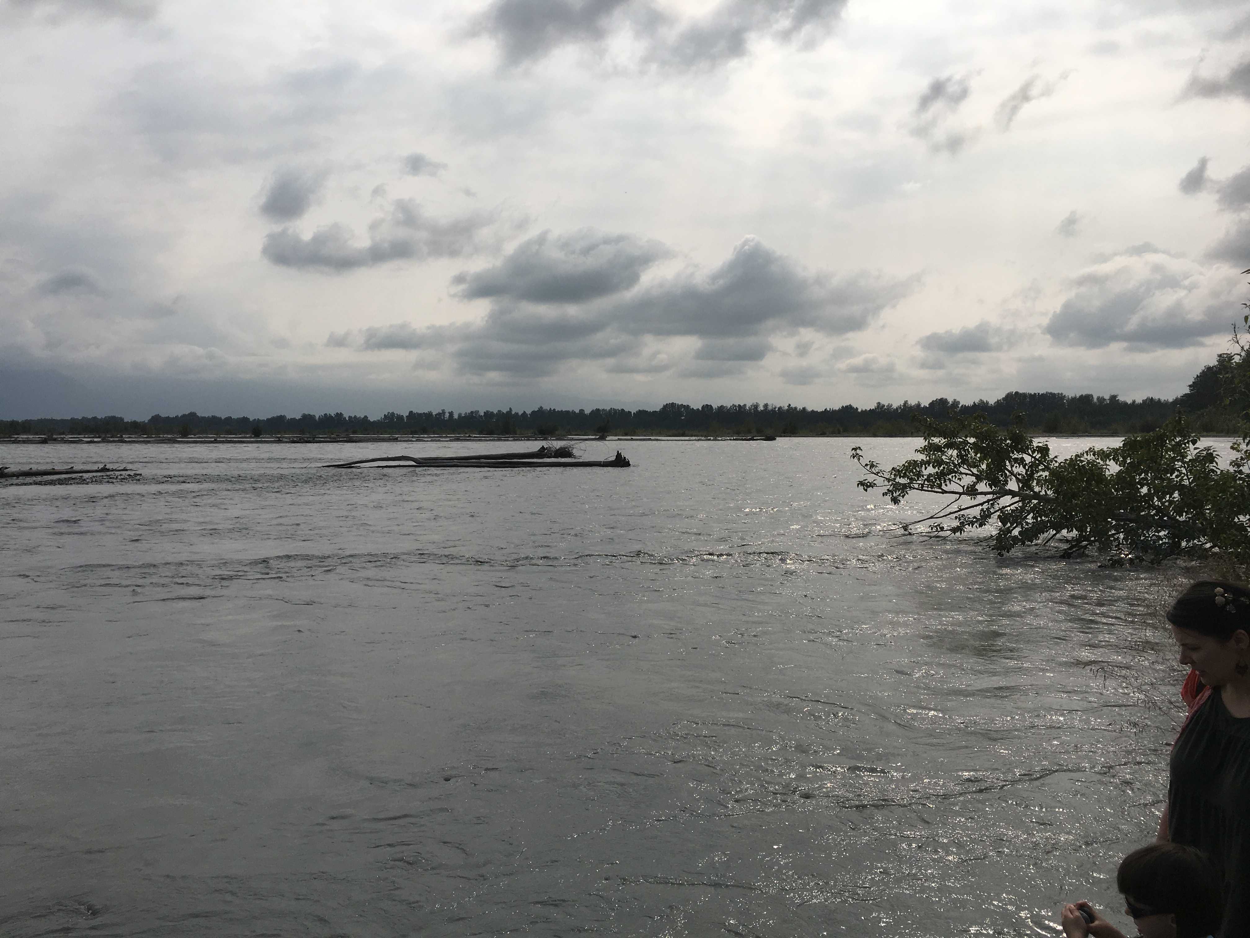
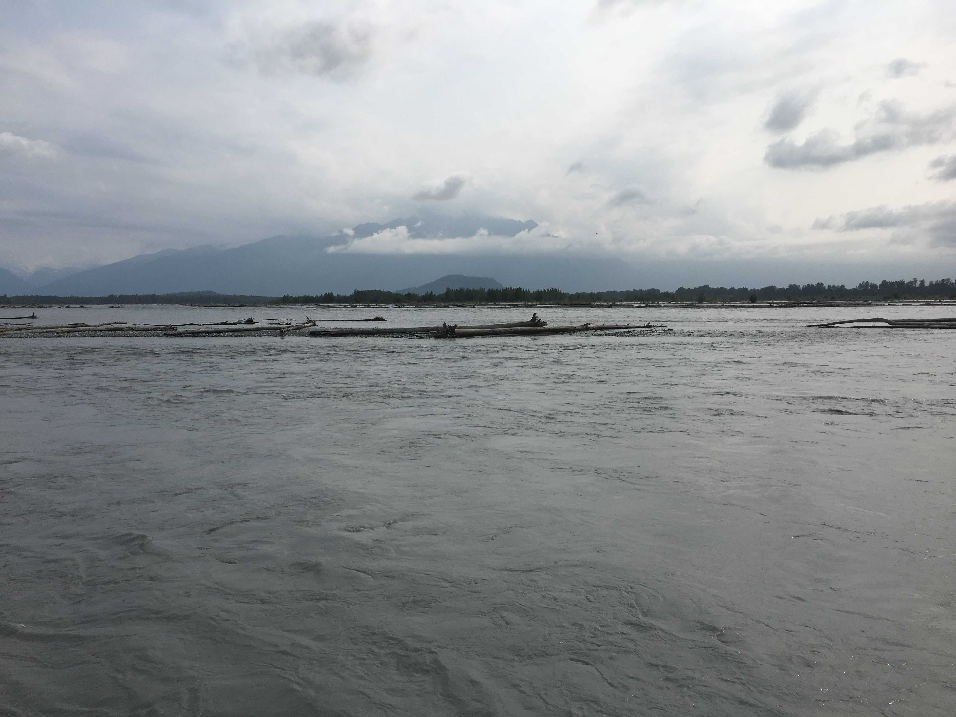
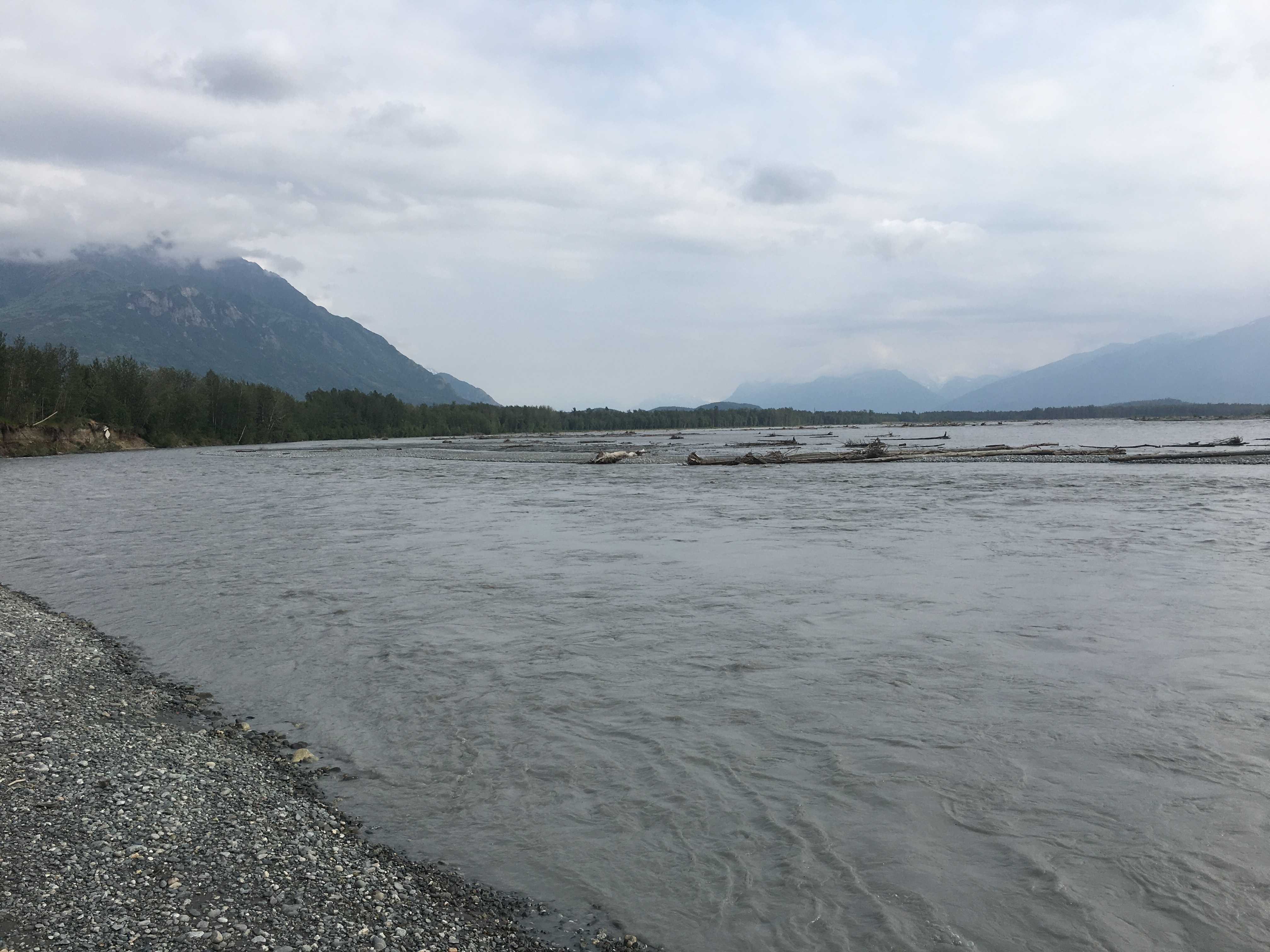
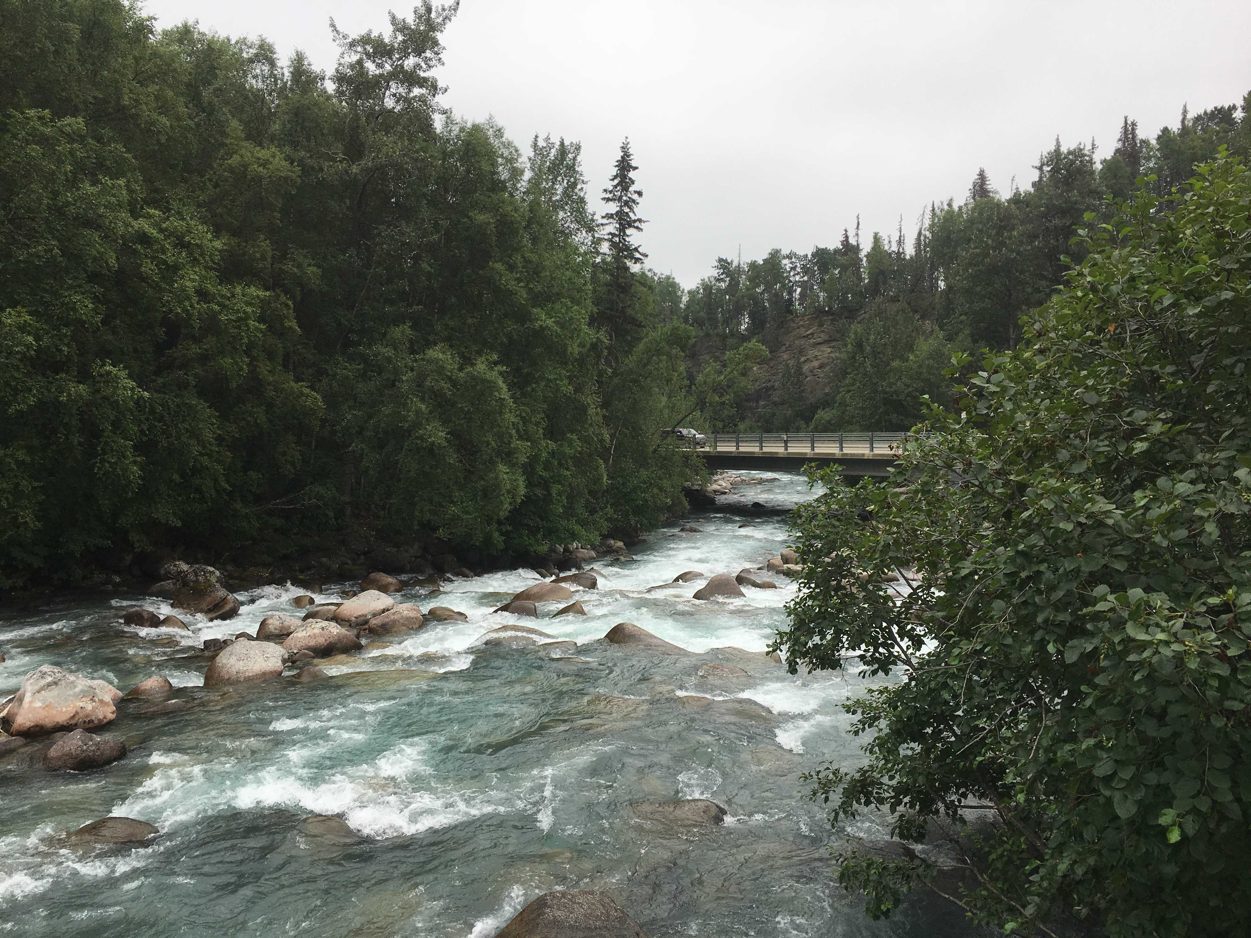
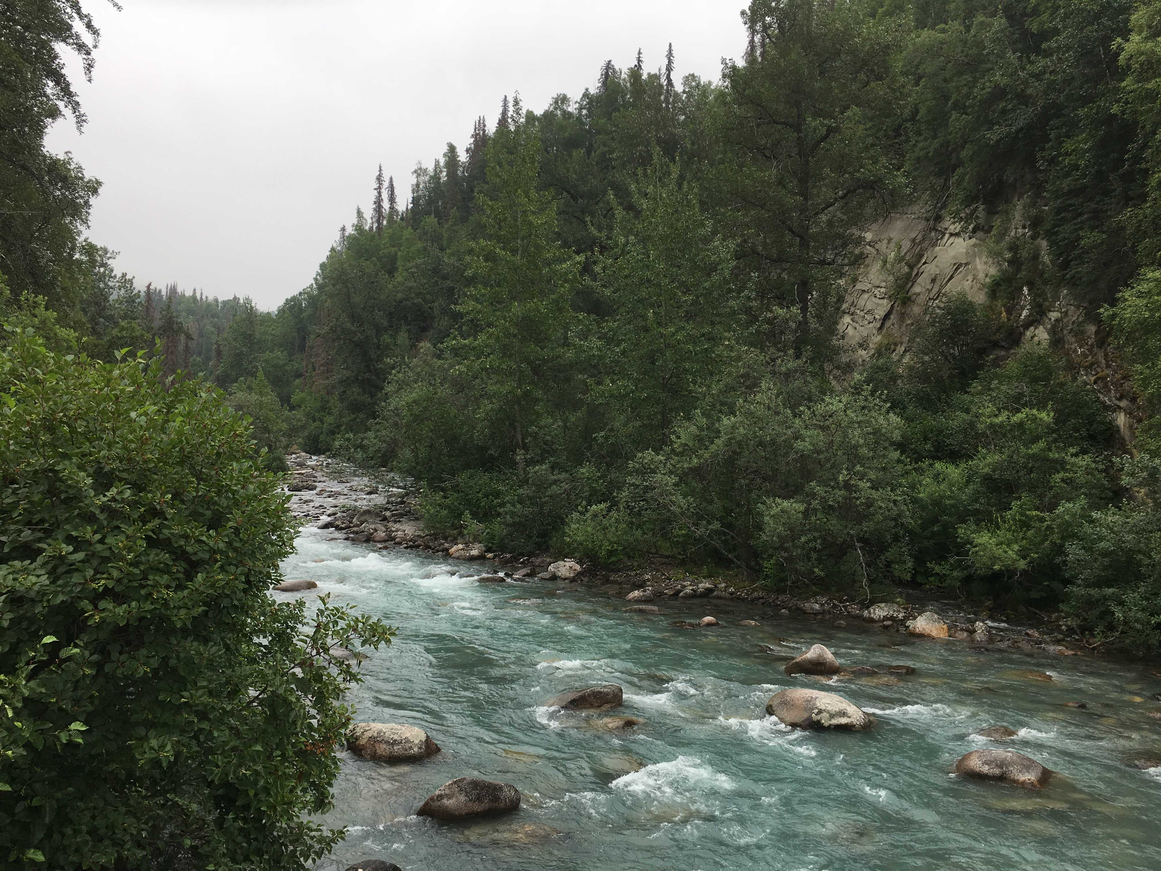
The river was very nice and appeared to be melt water from a glacier a few miles up river. The jet boats took you close to the glacier.

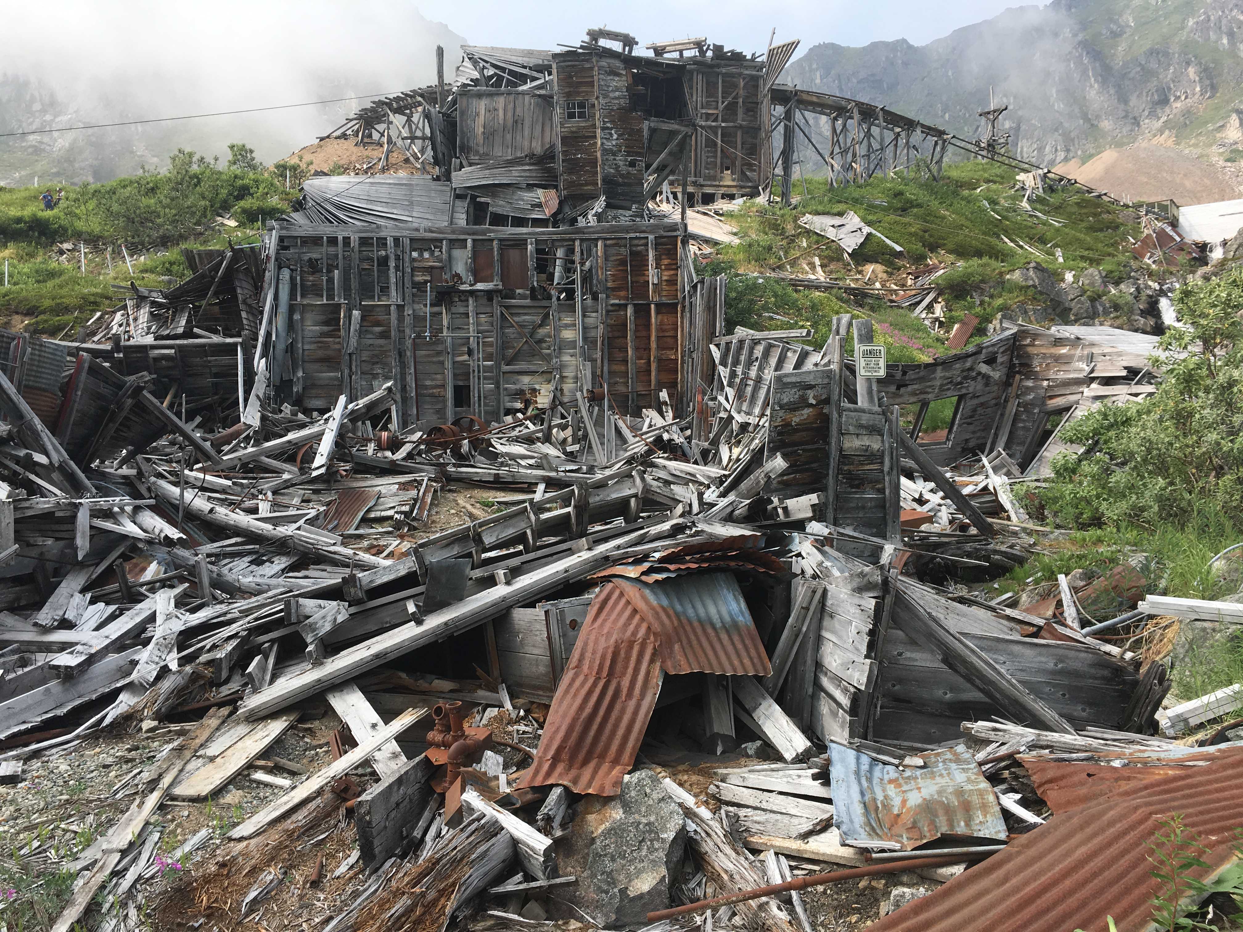
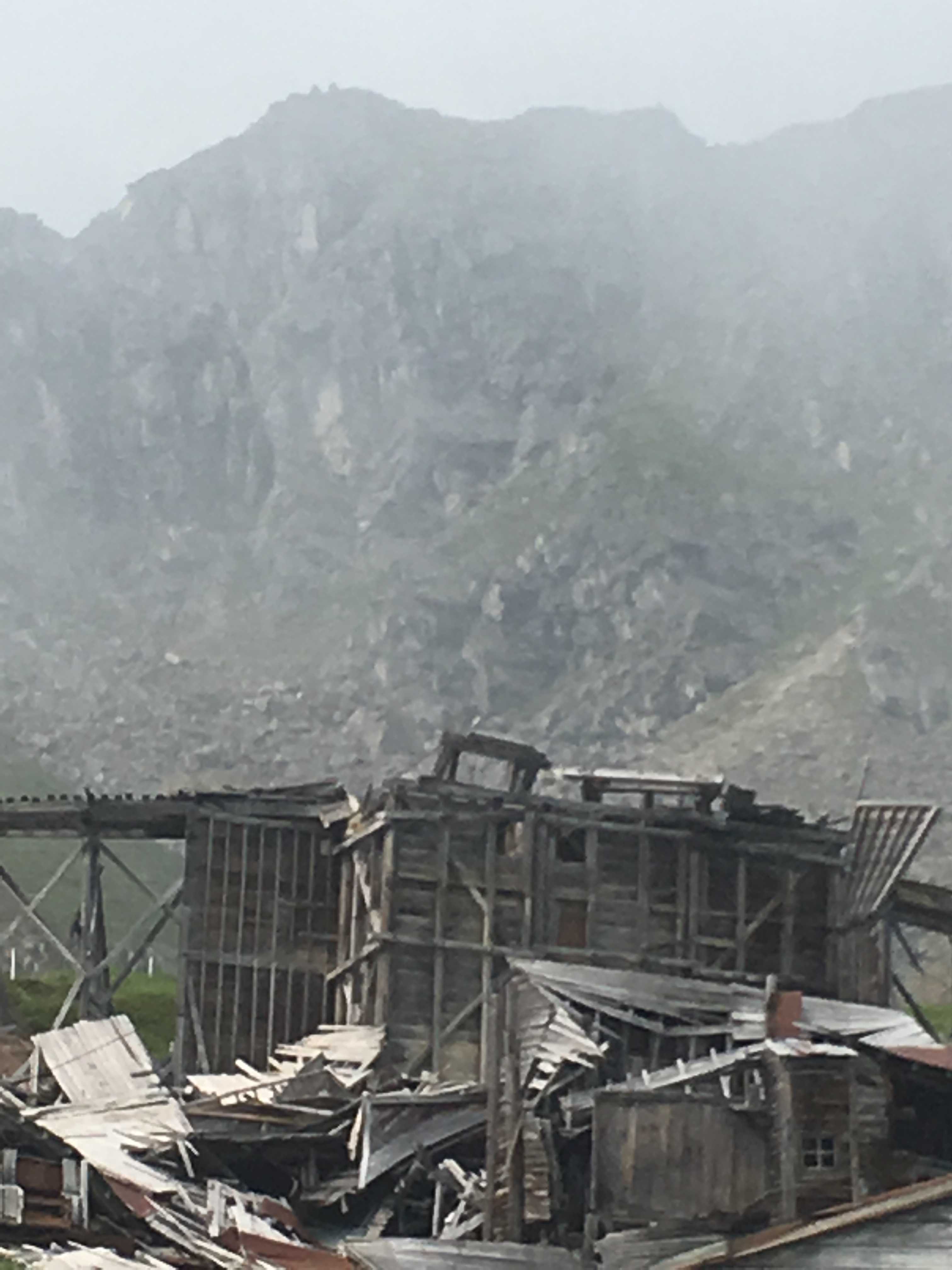
After lunch we were on the patio talking to a helicopter pilot who had a crew of geologists up on the side of the mountains using electronic equipment to find minerals. They weren’t saying what minerals were being looked for though.
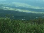
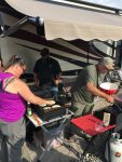 Sunday morning started out with a potluck breakfast. There was all sorts of food, even a couple of griddles cooking blueberry pancakes using the same blueberries picked on the sides of the roadways that were also used in the margaritas. Later on some groups of folks hiked up to the glacier. Most of them seemed to come back walking gingerly. It was a rough hike out there. Not much of a trail thru the moraine.
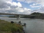
We headed up the road to do it, but about three quarters of a mile up the road the gravel became large river rock and I wasn’t sure Kathy’s car could make it thru that; so we turned around probably 1,000 feet from the small parking area near the small suspension bridge: lots of broken boards with large gaps in between suspended over a swift river by steel cables.
 Monday evening there was a potluck dinner, and many hours later we all said farewell as this was a late-waking crowd and we were leaving early (9am).
Tuesday morning we got going at 9am. Don came by to say goodbye and Kathy went down and said goodbye to Joann and Mike. (she had met them as they were leaving the campground we were staying at in Fairbanks a couple weeks before)
As we headed down the potholed gravel road (very slowly) I could see Mike and Joann driving out of there detached, presumably to attach their Mini Cooper at the monument a few yards from the entrance to the highway.
We headed south on the Stewart Highway to get to Anchorage and they turned to the North to start heading home so they could get to their daughter’s wedding.