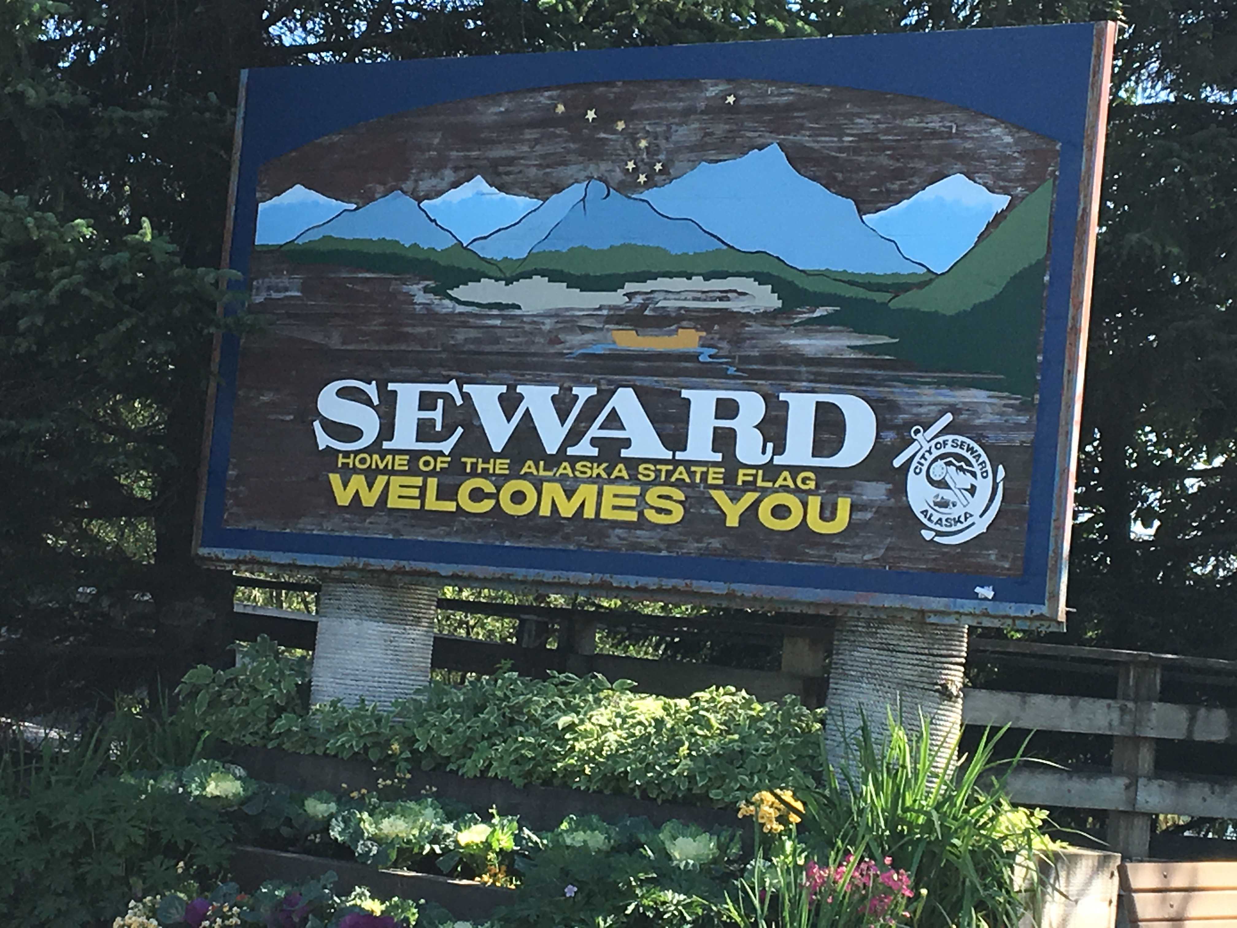
![]()
 We made it to the Boya Lake Provincial Park without issue and turned into their 1+ mile camp road. It wasn’t
 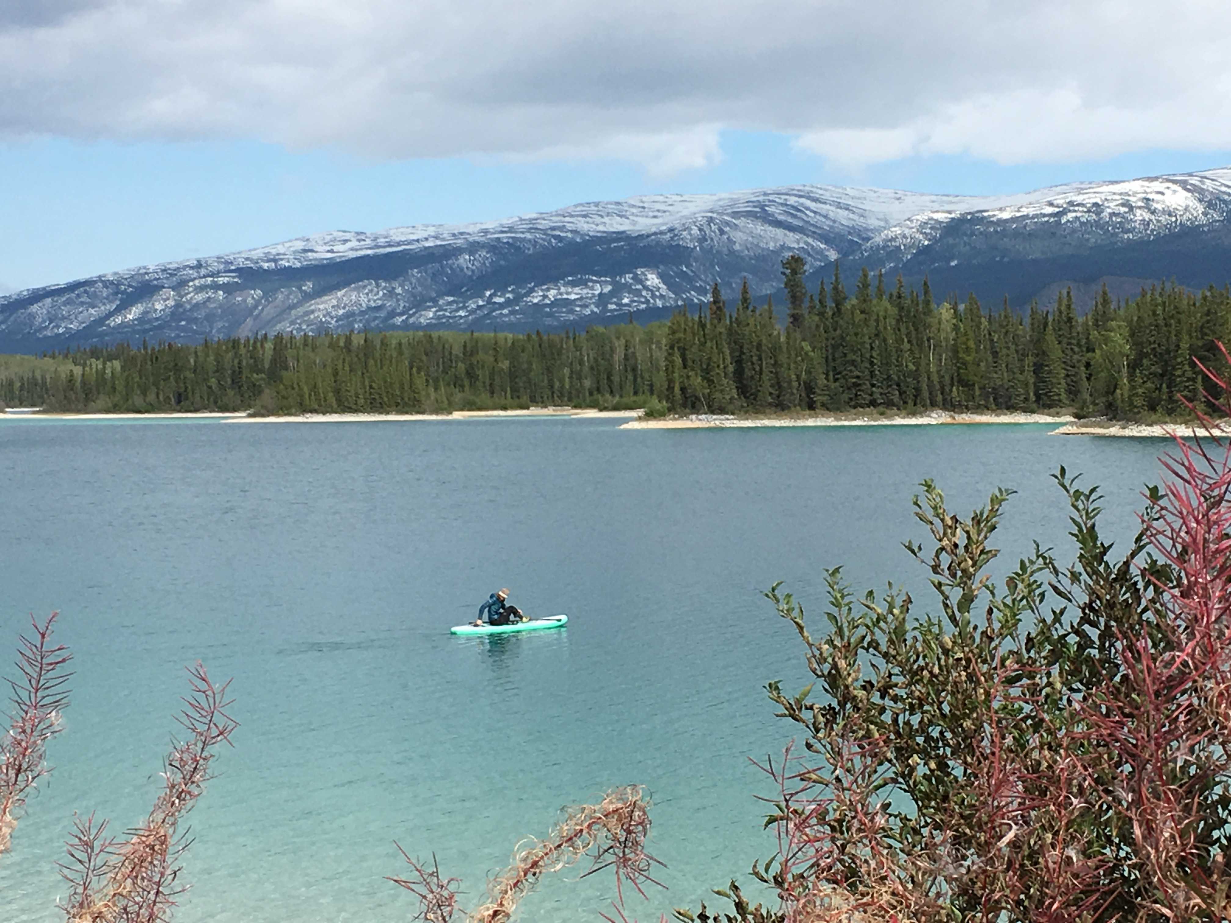 snowing anymore, just a light rain, making me hope for better weather ahead.
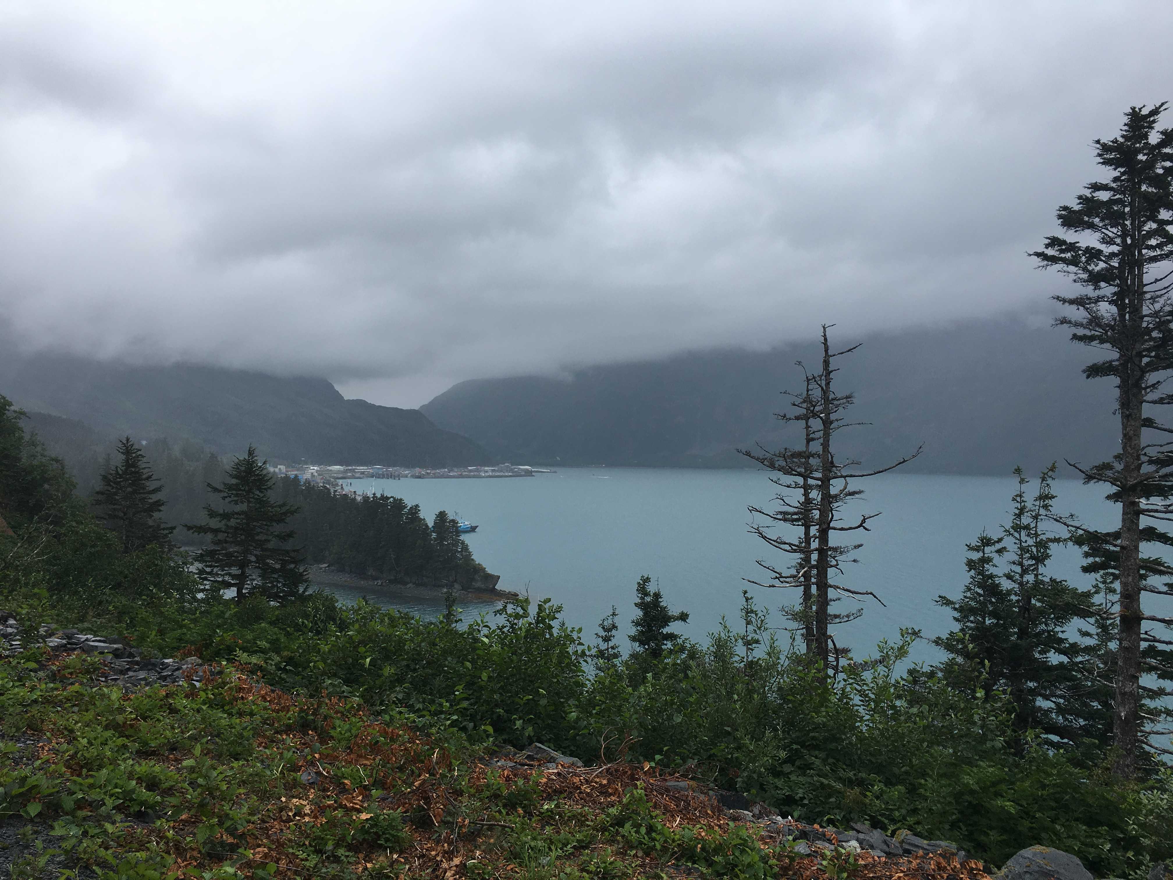
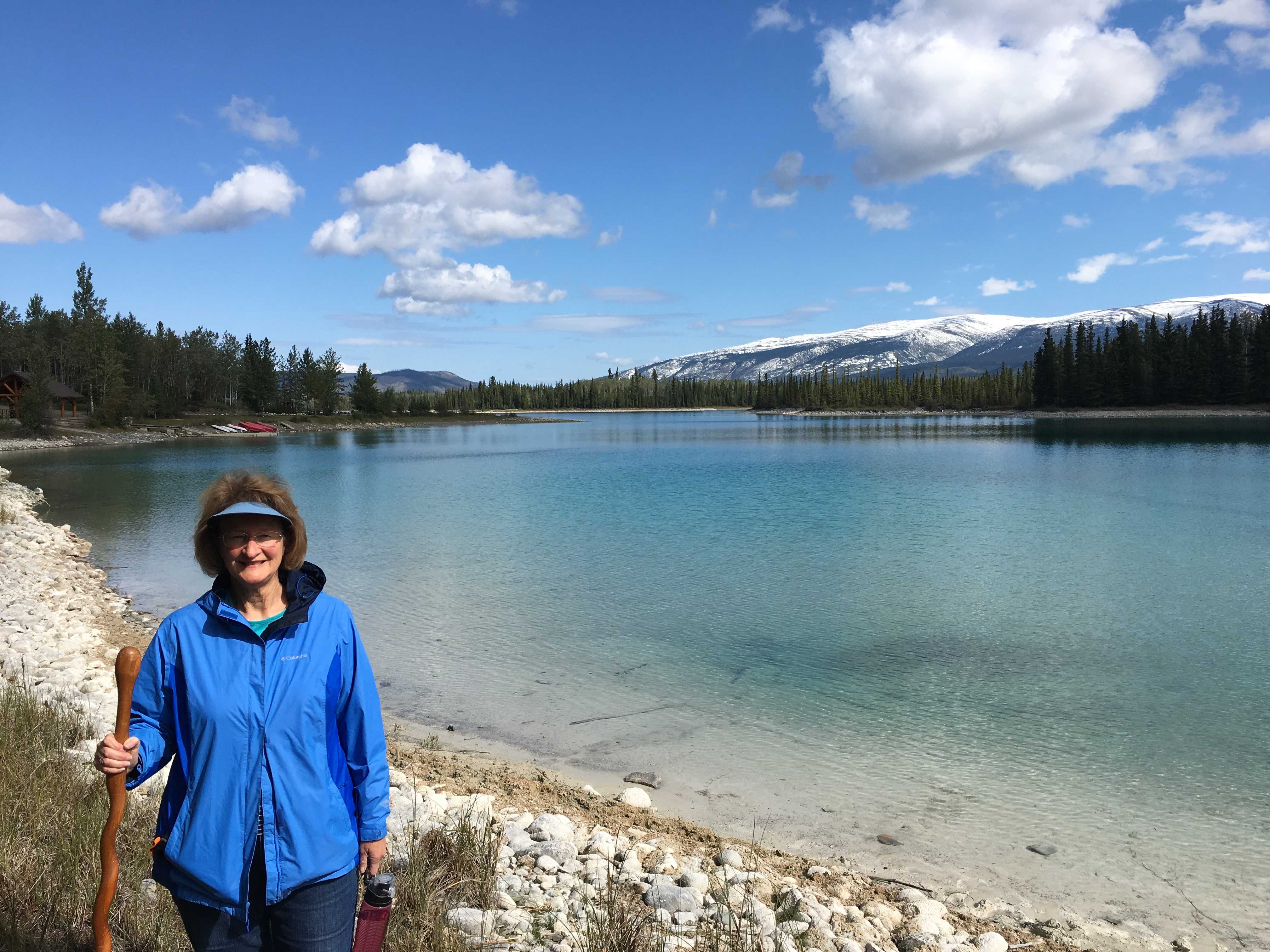
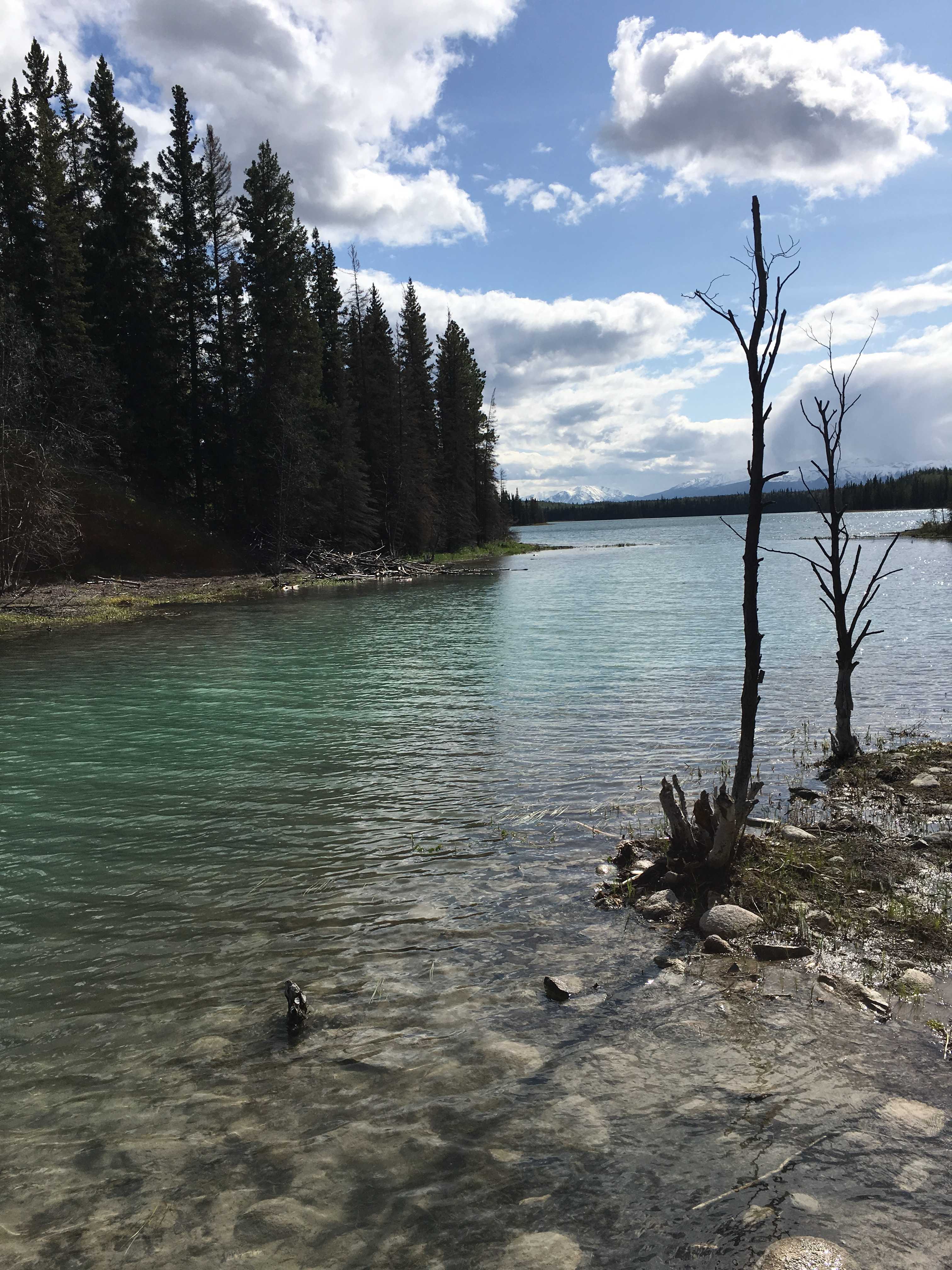
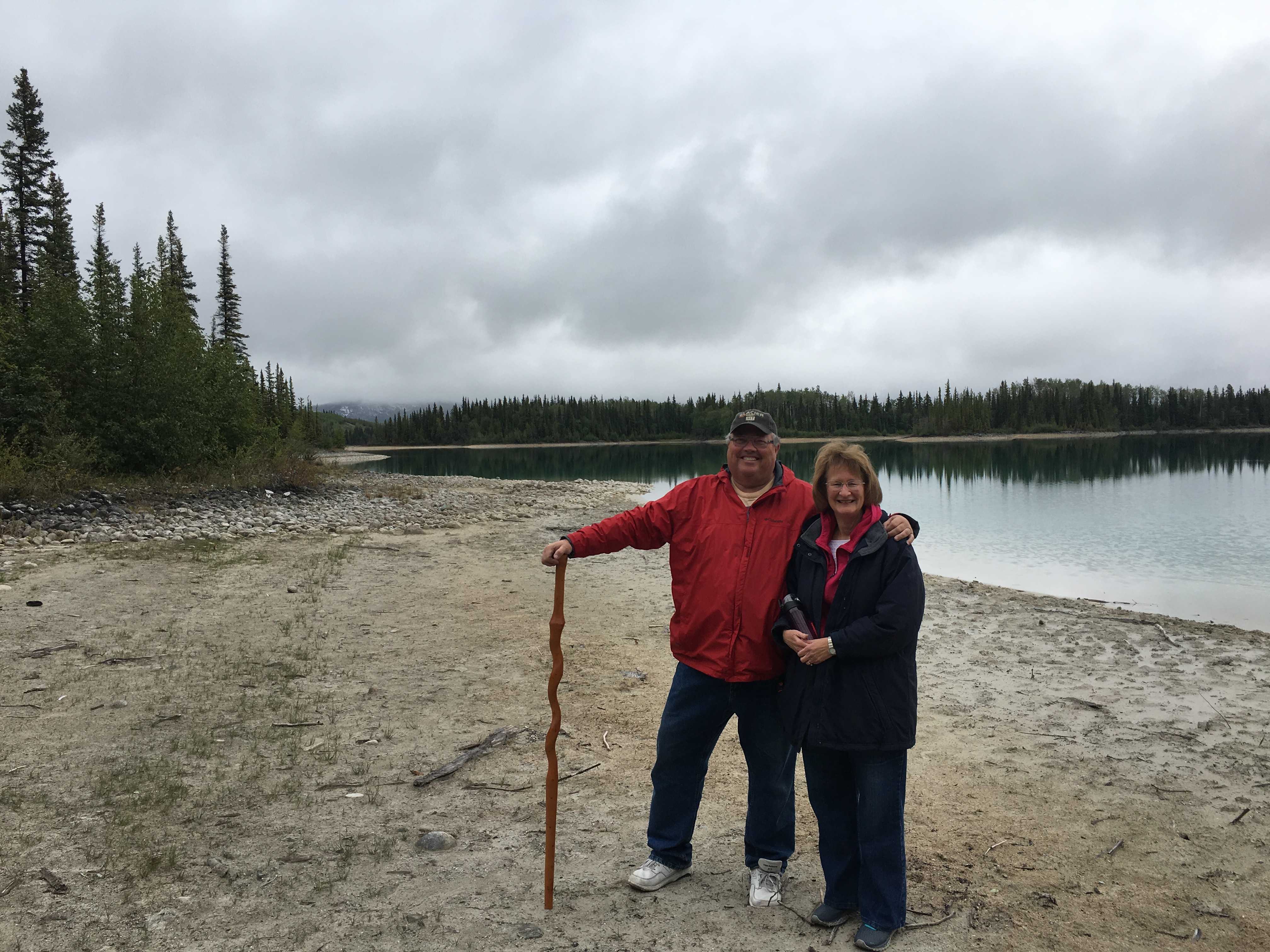
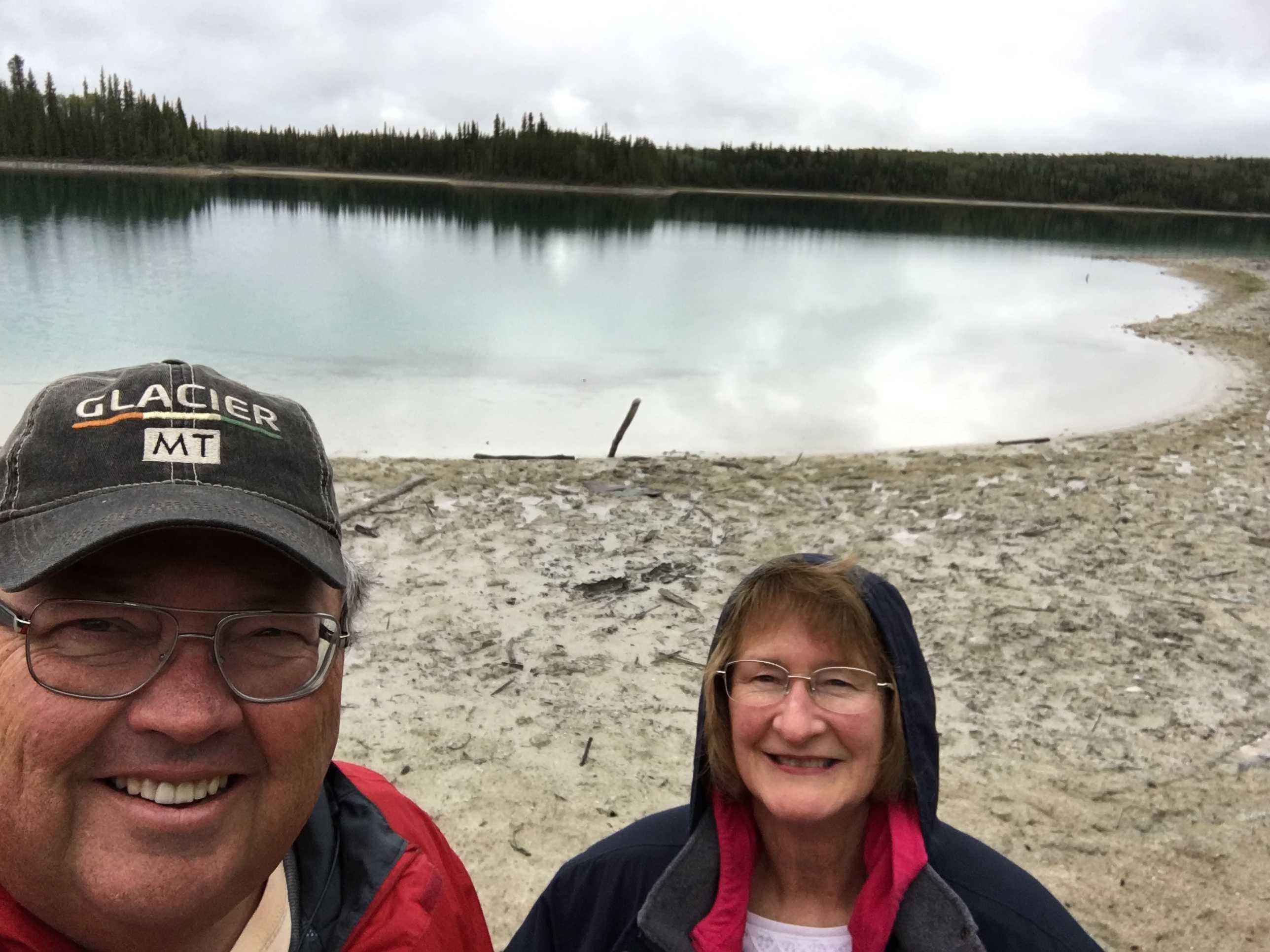
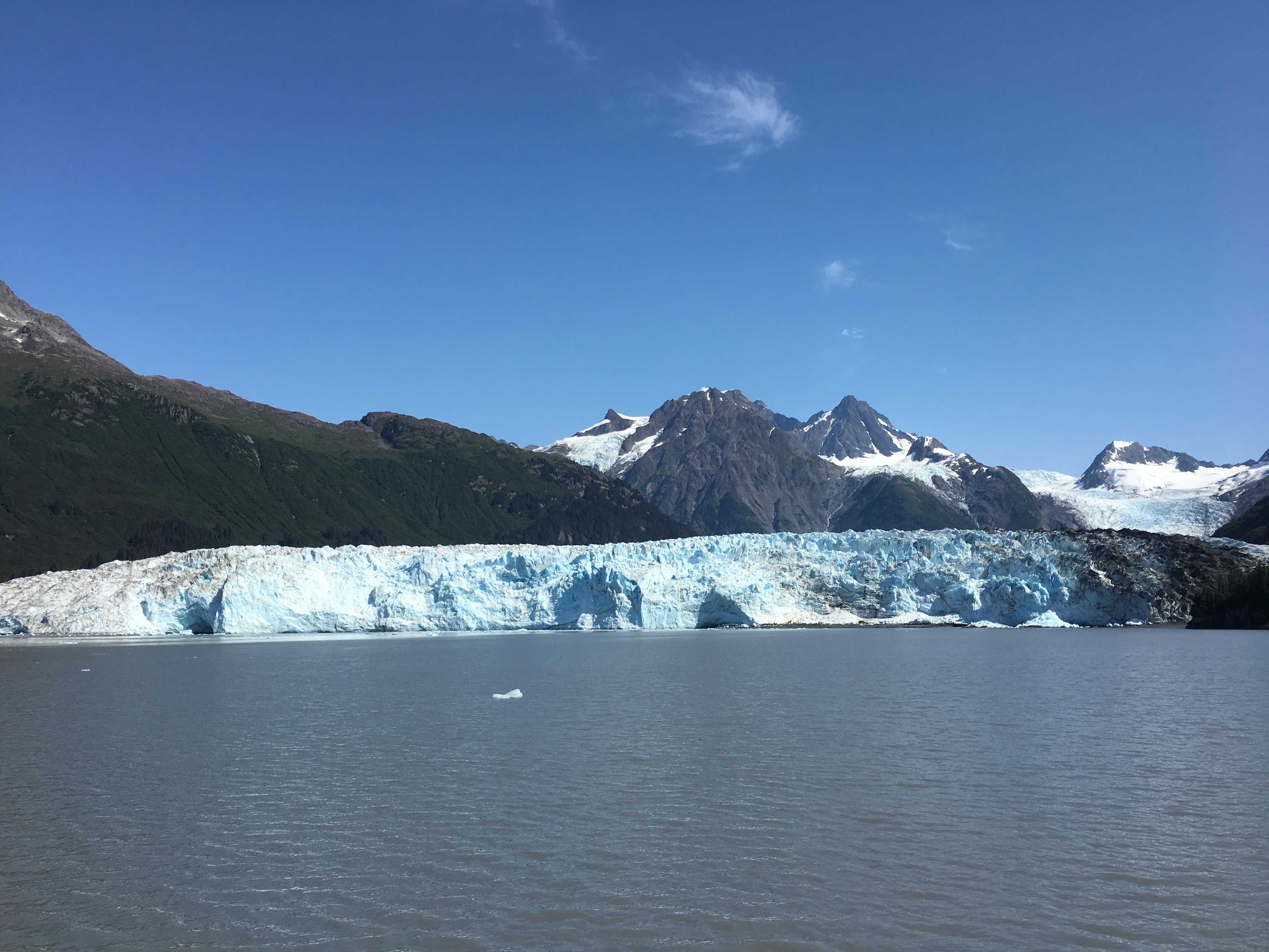
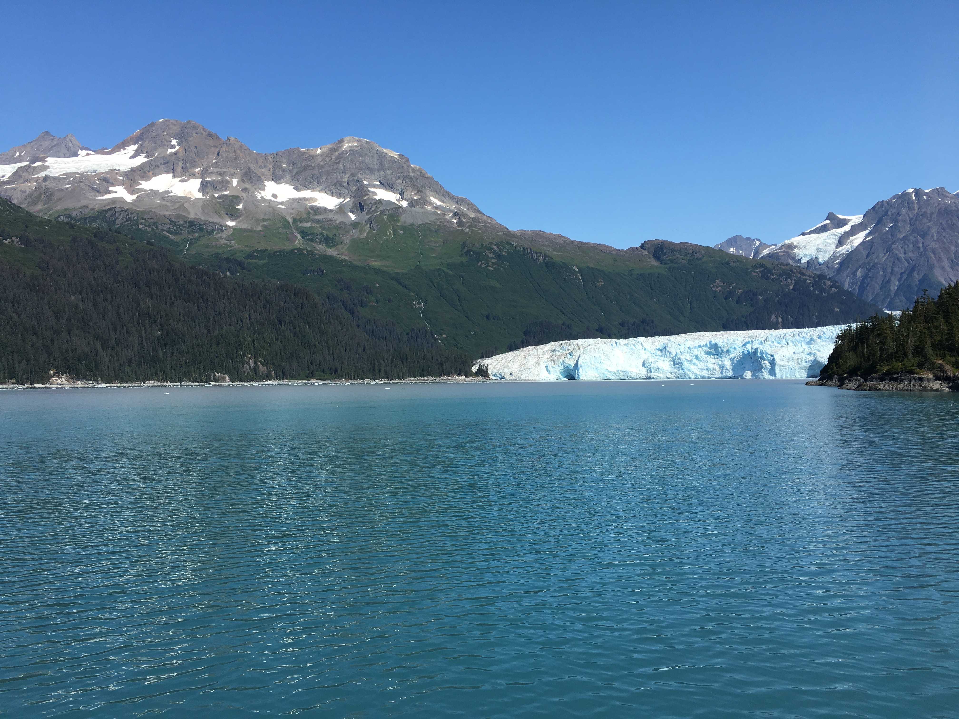
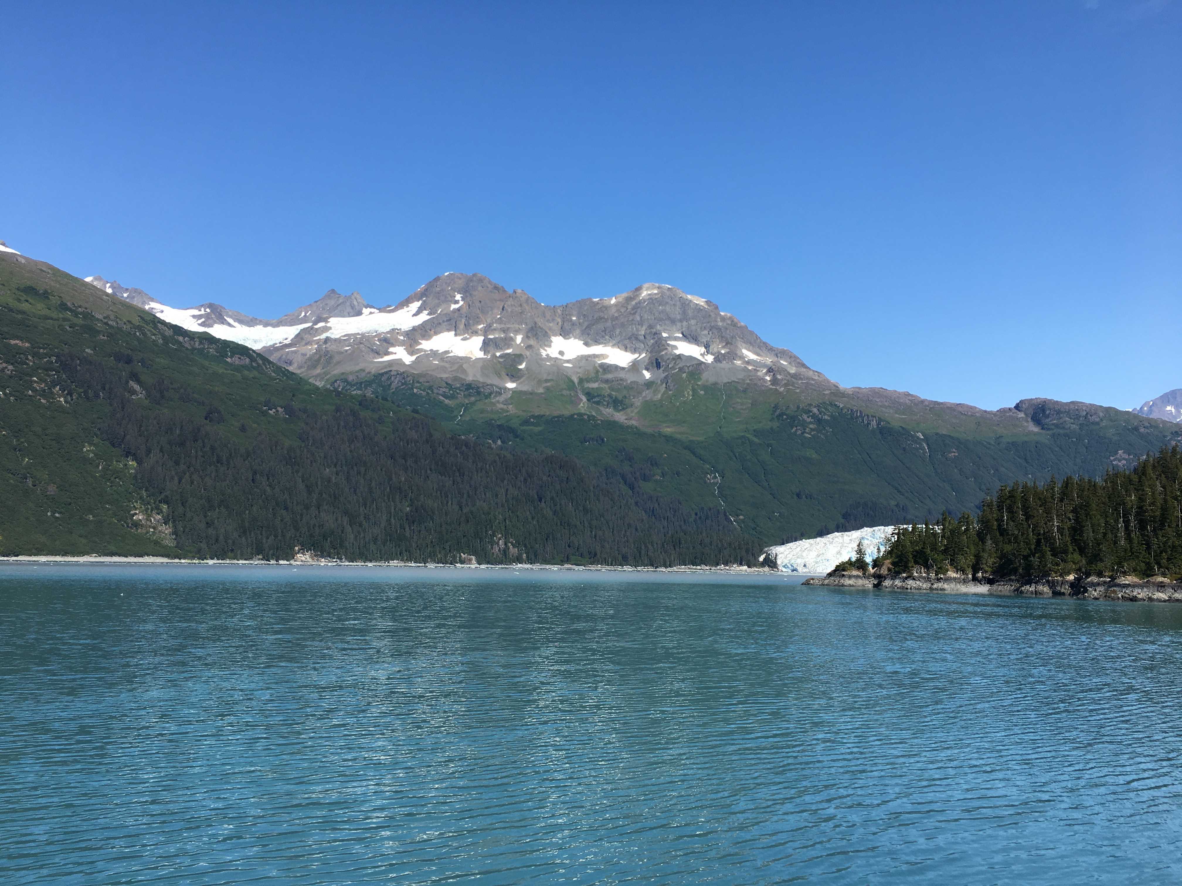
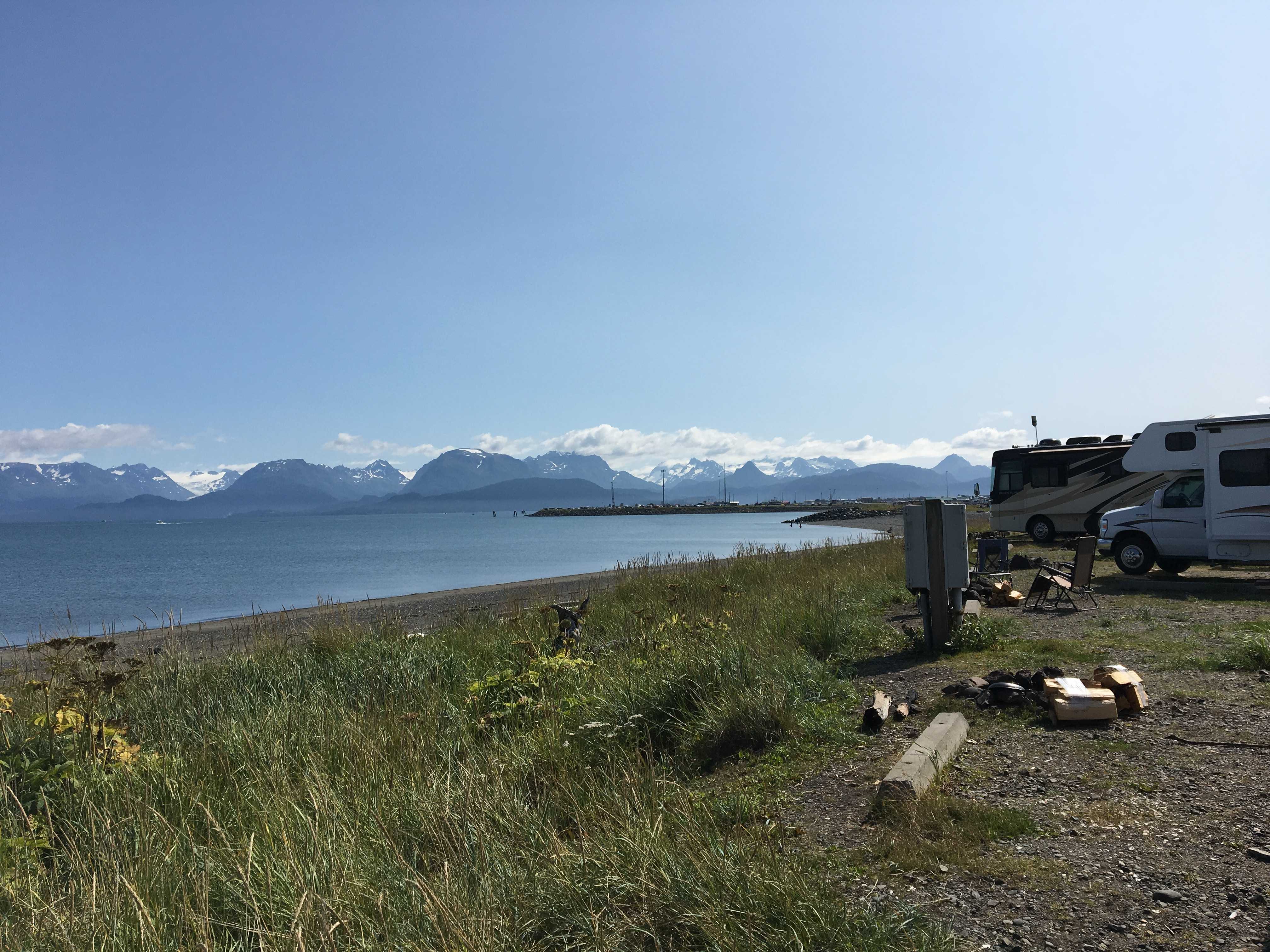
 We arrived really early in the day and got the most amazing spot on the lake. What a view, and it only got better as the sun poked its head out the following day for a bit. The lake has a white “marl” bottom so you can see all the way to the bottom and it has this incredible turquoise color.
We were starting to have cabin fever as we had been stuck inside for going on  4 days now, rain at Teslin Lake, two full days of snow at Baby Nugget (outside Watson Lake), and now another day starting with snow and ending with rain at Boya.
The campground provided some of the nicest fire rings I had ever seen, and the camp host came around nightly to sell wood to burn if you wanted it. Larry and Sue really like campfires, so I got to enjoy them too. Kathy doesn’t enjoy them so I have gotten used to camping without them for the last three years.
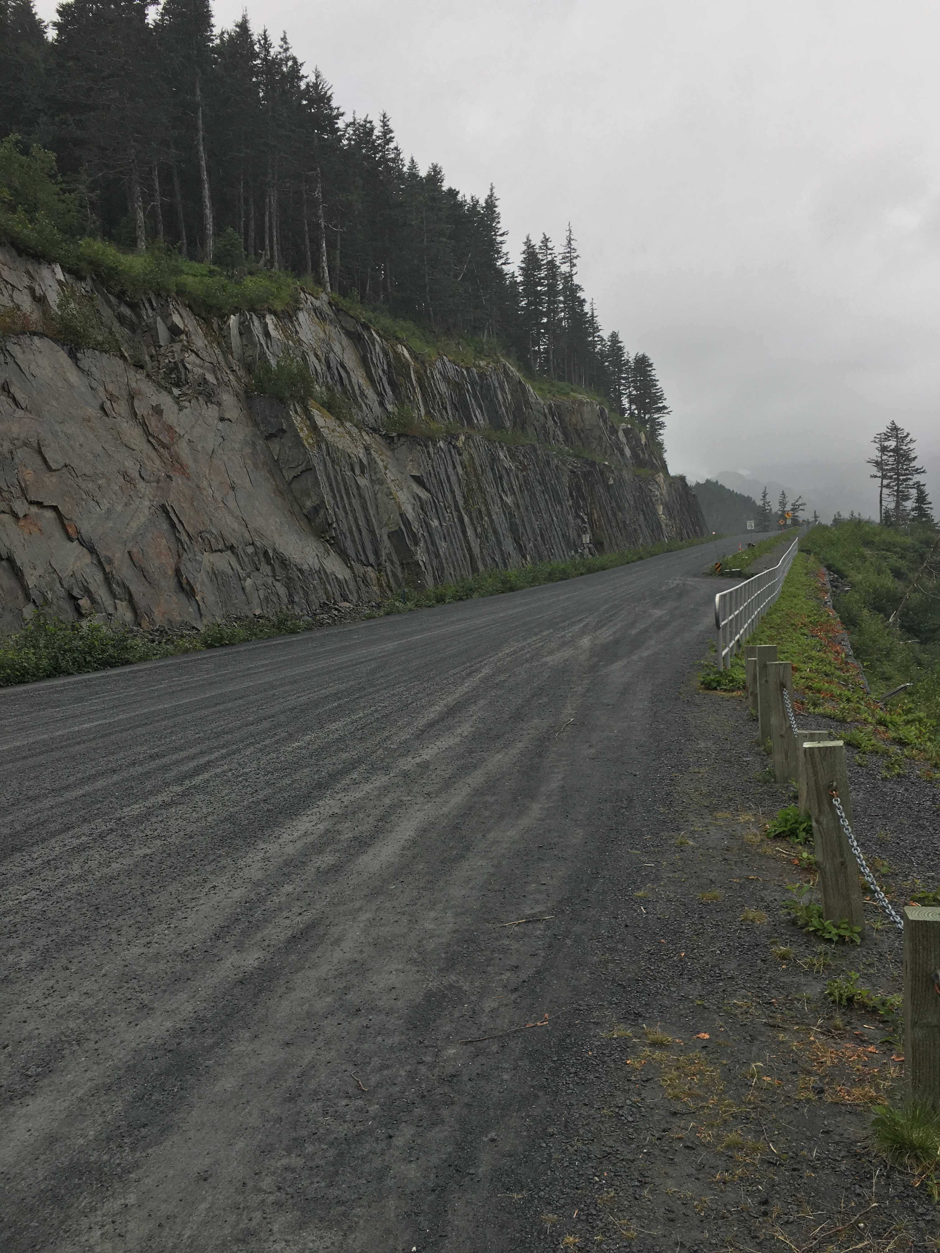
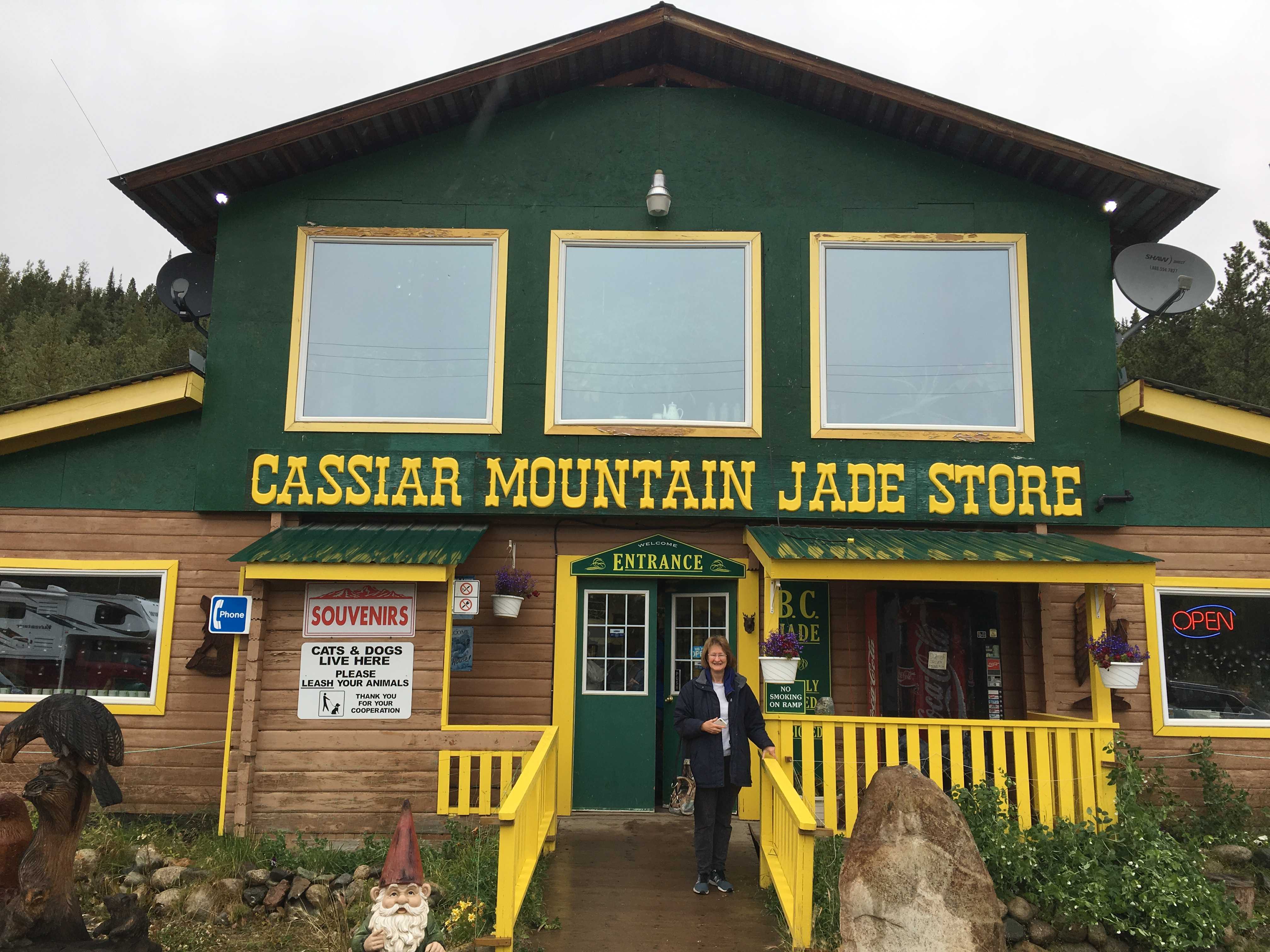 Day one we had planned on hiking one of the trails, but it was raining pretty hard, so we opted for driving to Jade City, which was about 25 miles south of the campground on the Cassiar Hwy and to the store that’s the reason it’s on the map. It was nice that they provided free coffee and WiFi as all of us wanted to get email as that was difficult to do while we were staying outside Watson Lake. Both Kathy and Sue bought rocks with painted scenes, for lack of a better term, while we were there.
We noticed they had a 3 season reality show DVD about Jade City on the shelves, and I added that to my list of shows to look for when we get back home. I am pretty sure I would have been really unhappy if I had purchased the DVD’s they were selling for a good profit. Hard to imagine they will be good enough to watch more than a single episode.
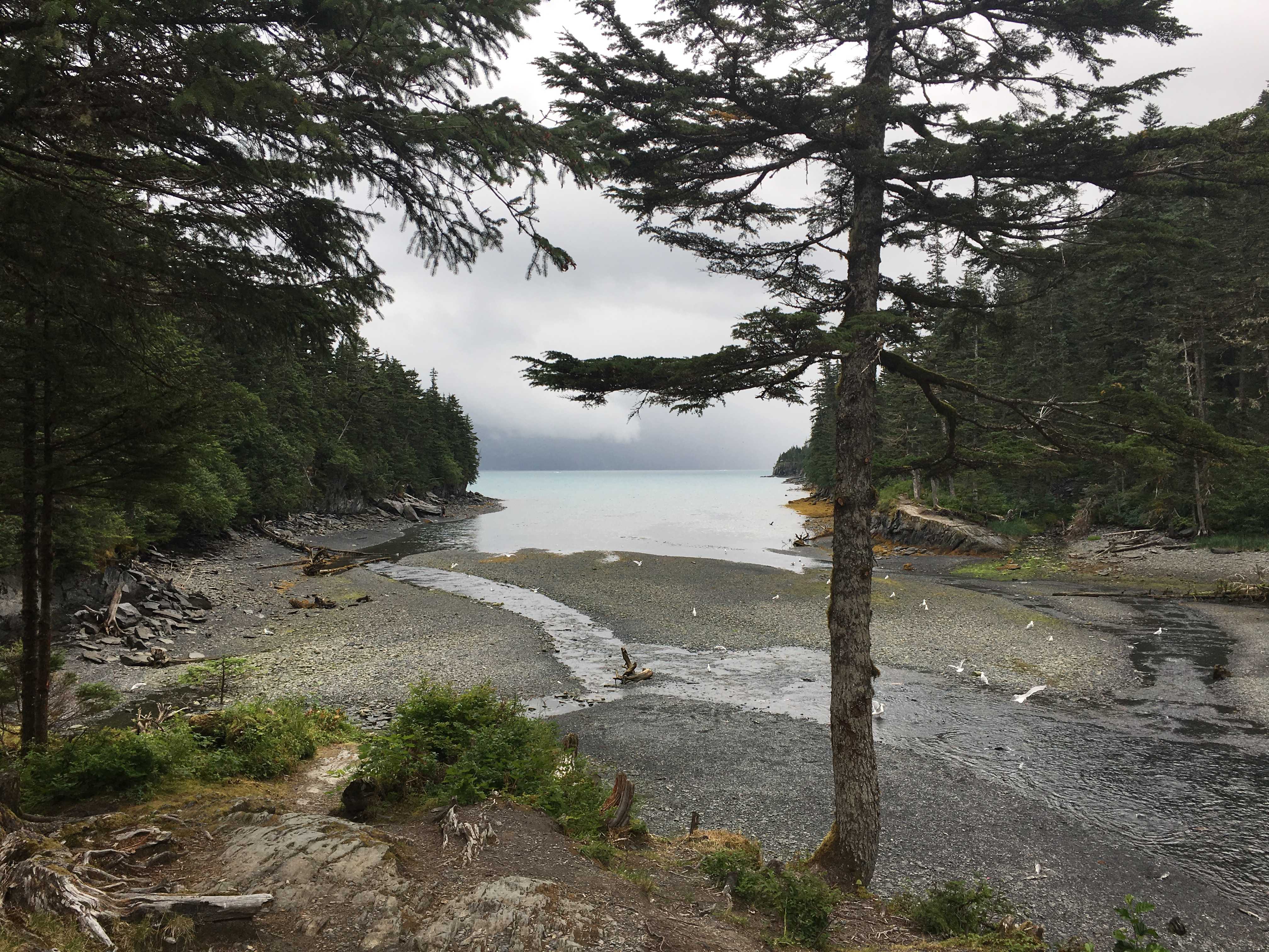
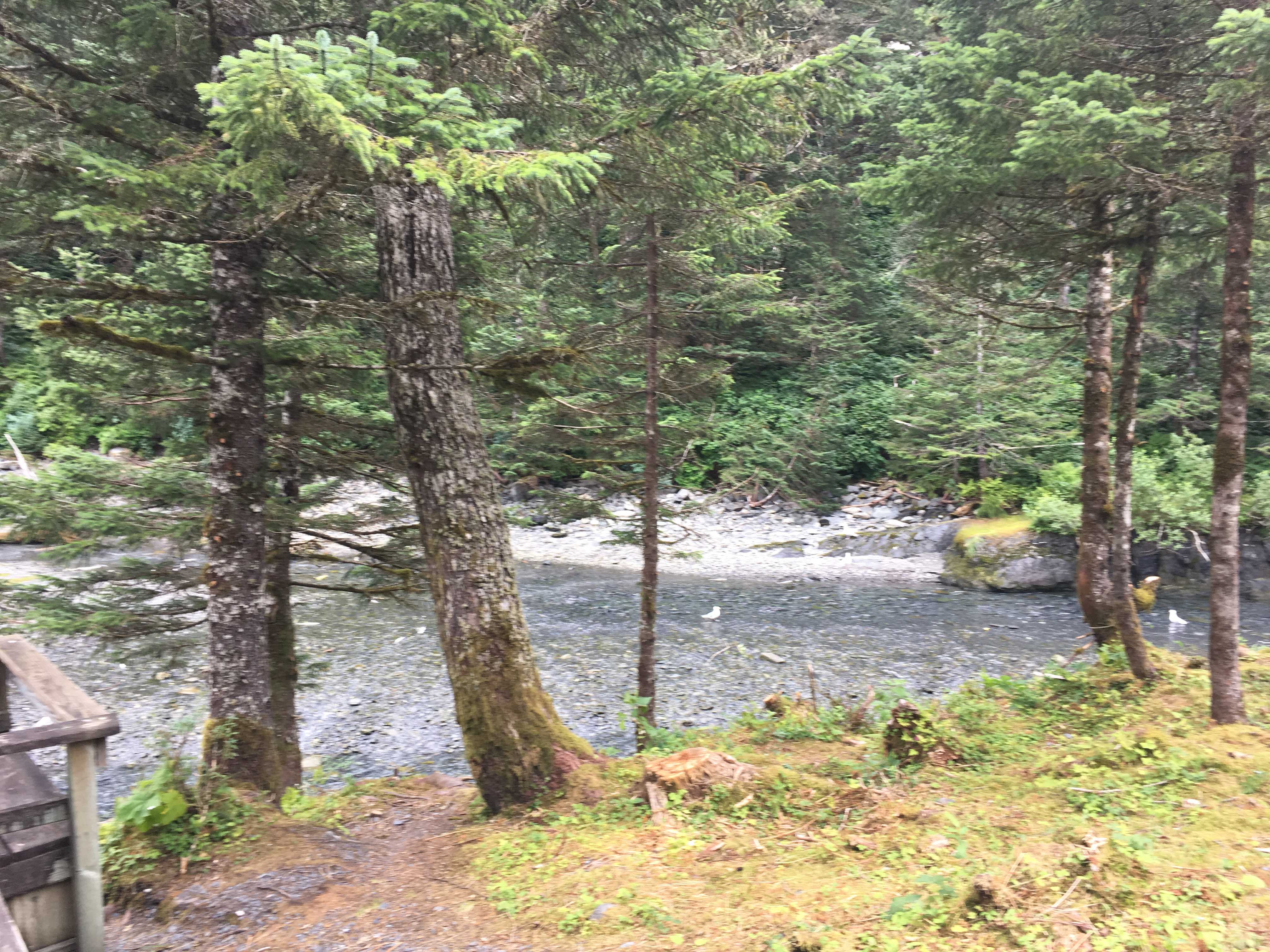
Walking the first trail on a wet afternoon. At the trail head the sign said it was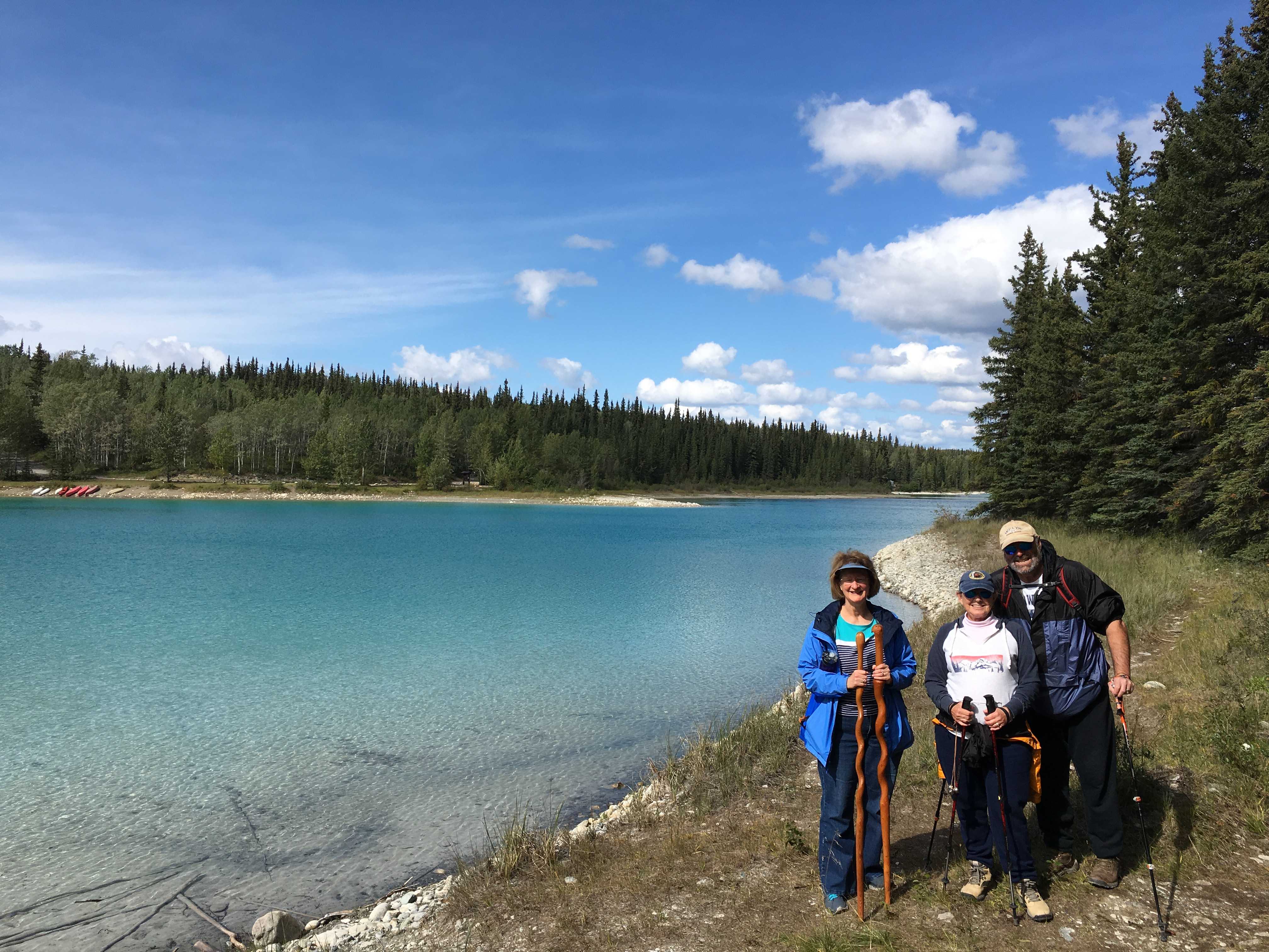 almost a mile each way, so we headed out into the wilderness. It was a nice wide trail for most of the way as it wound around that spectacular lake. Sue was wearing her bear bells and all of us had our bear spray, although at that time we had not seen bears at this park. The trail was not very steep and was enjoyed by all.
Along the way we found some small flat rocks just perfect for skipping on the lake and there were some pretty good skips occurring.
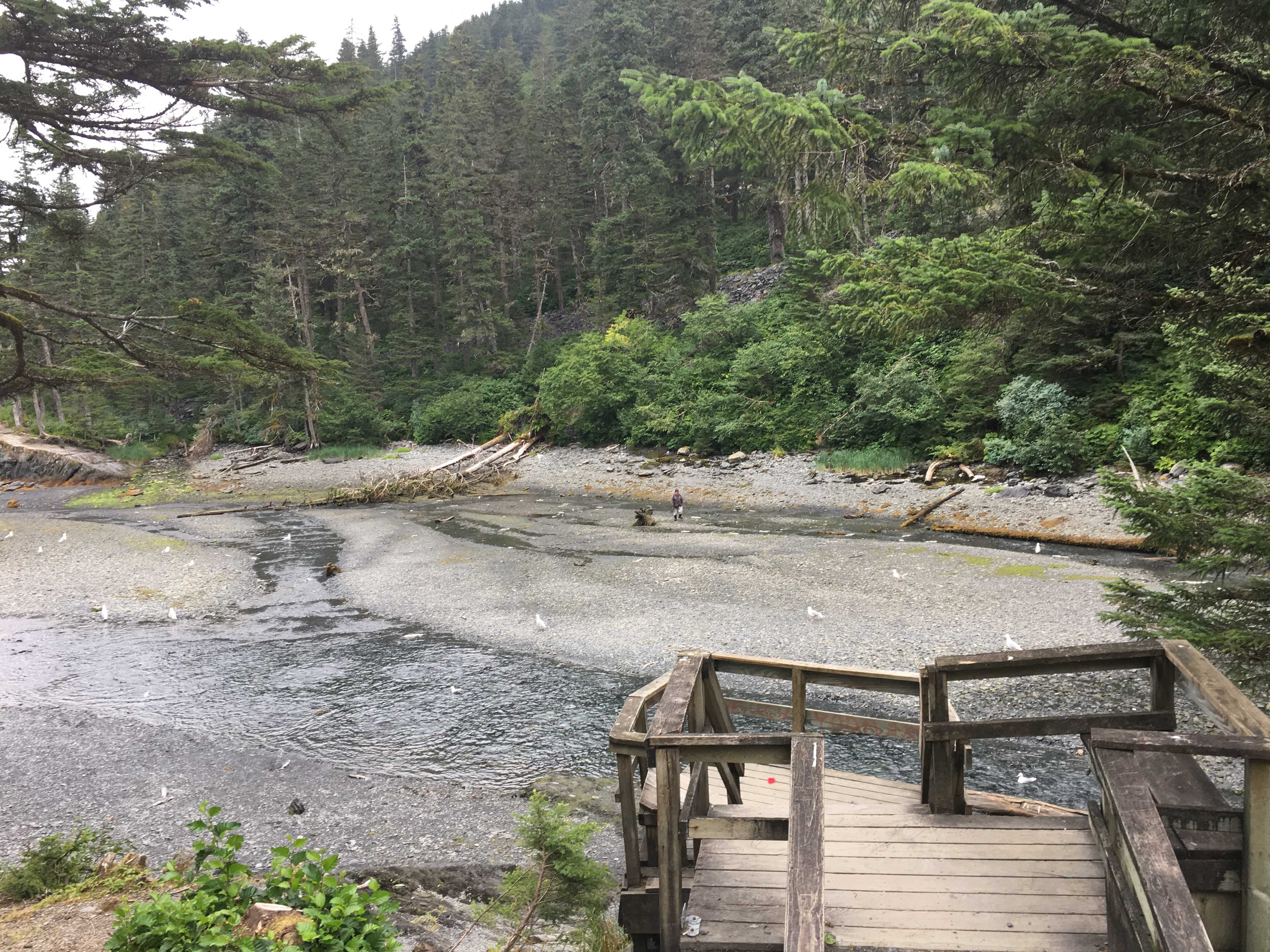
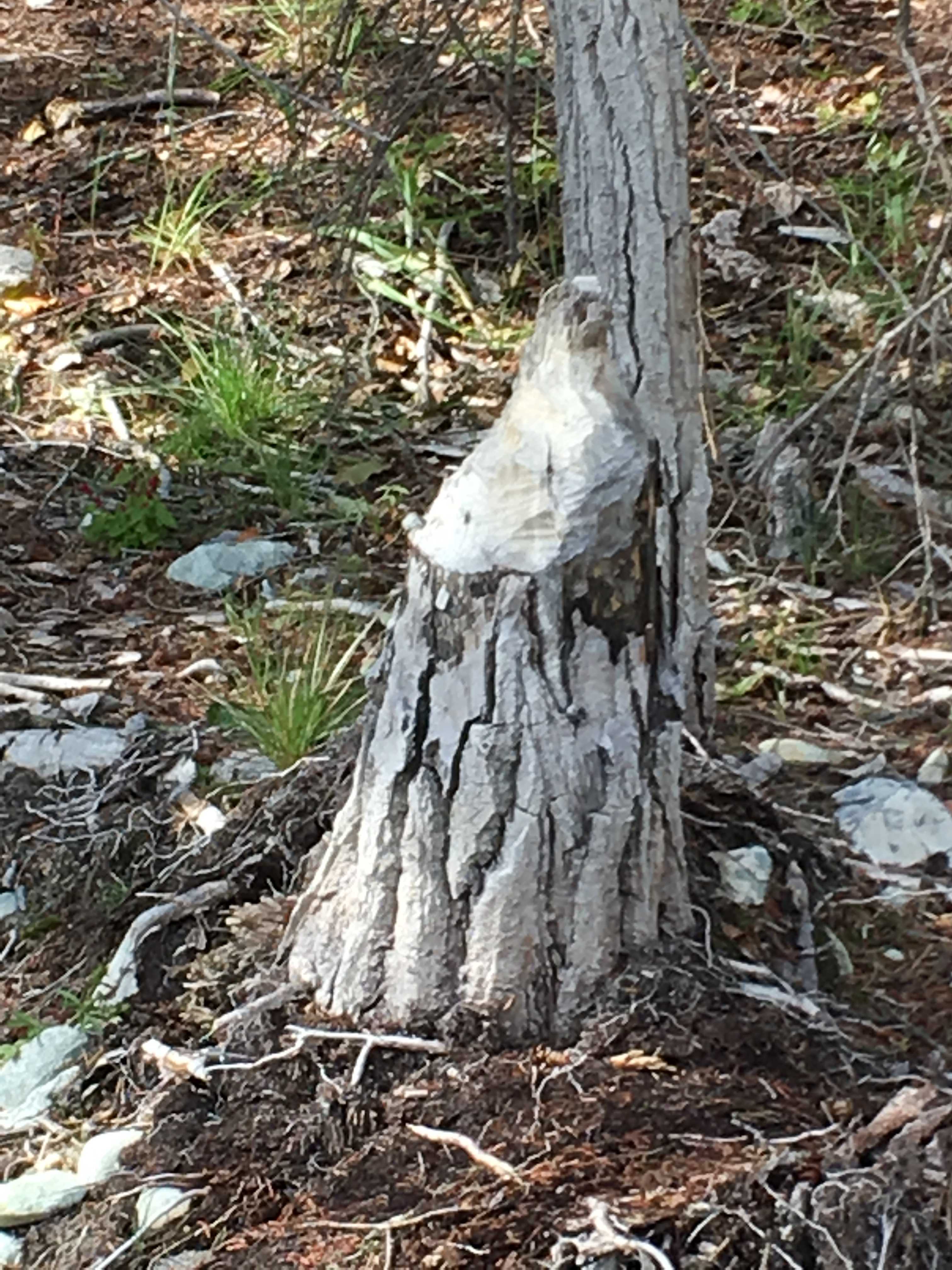
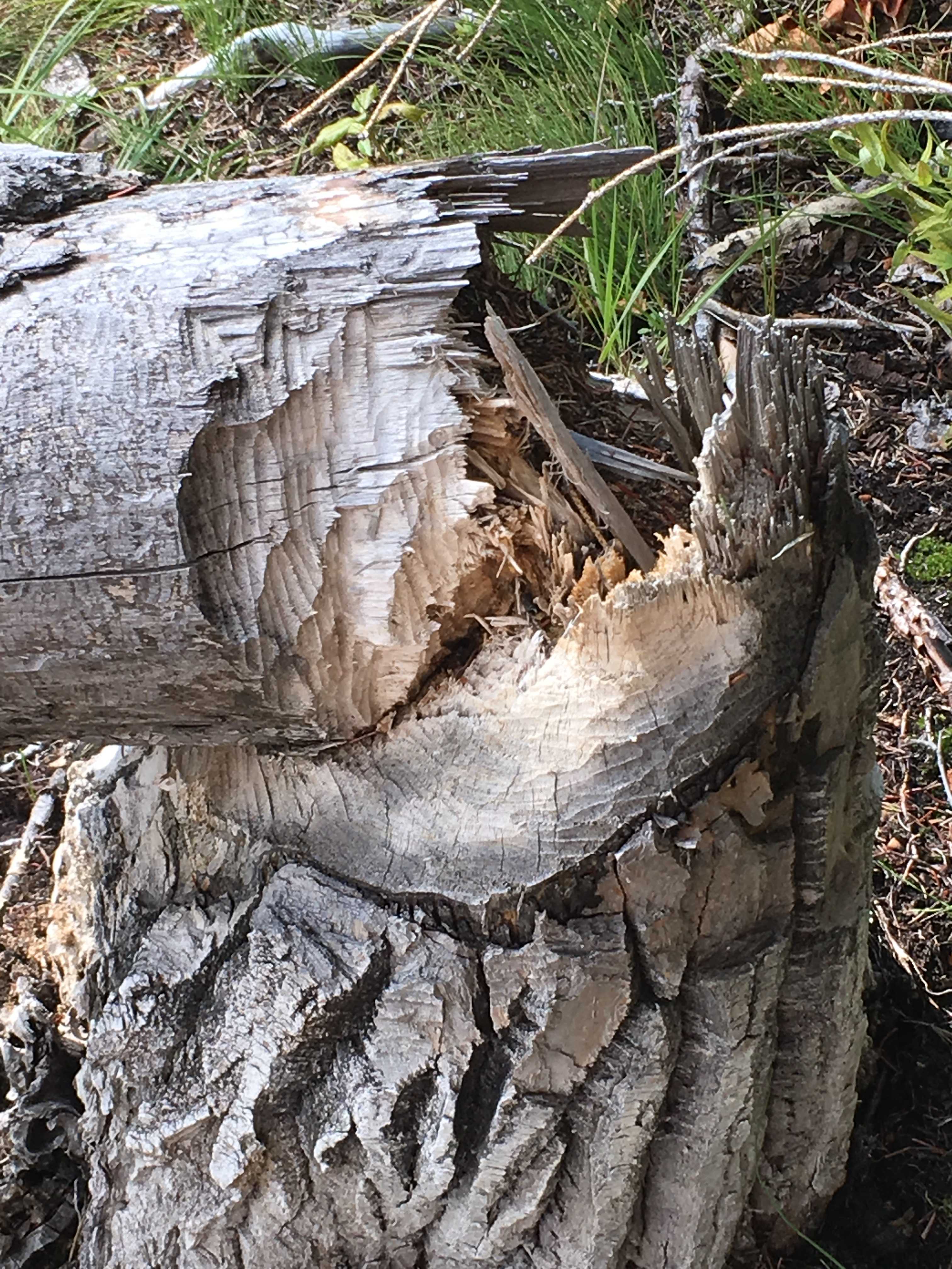
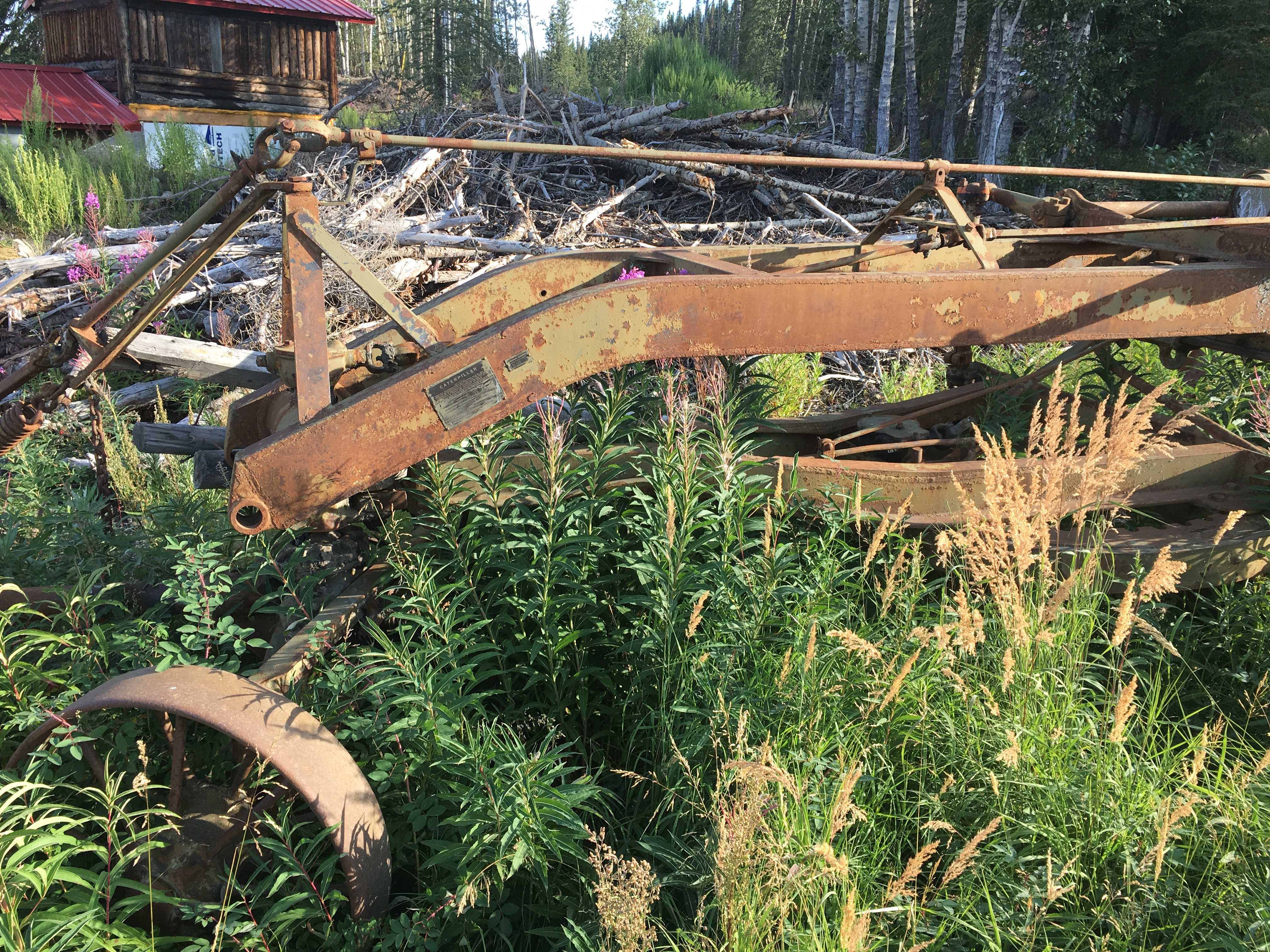
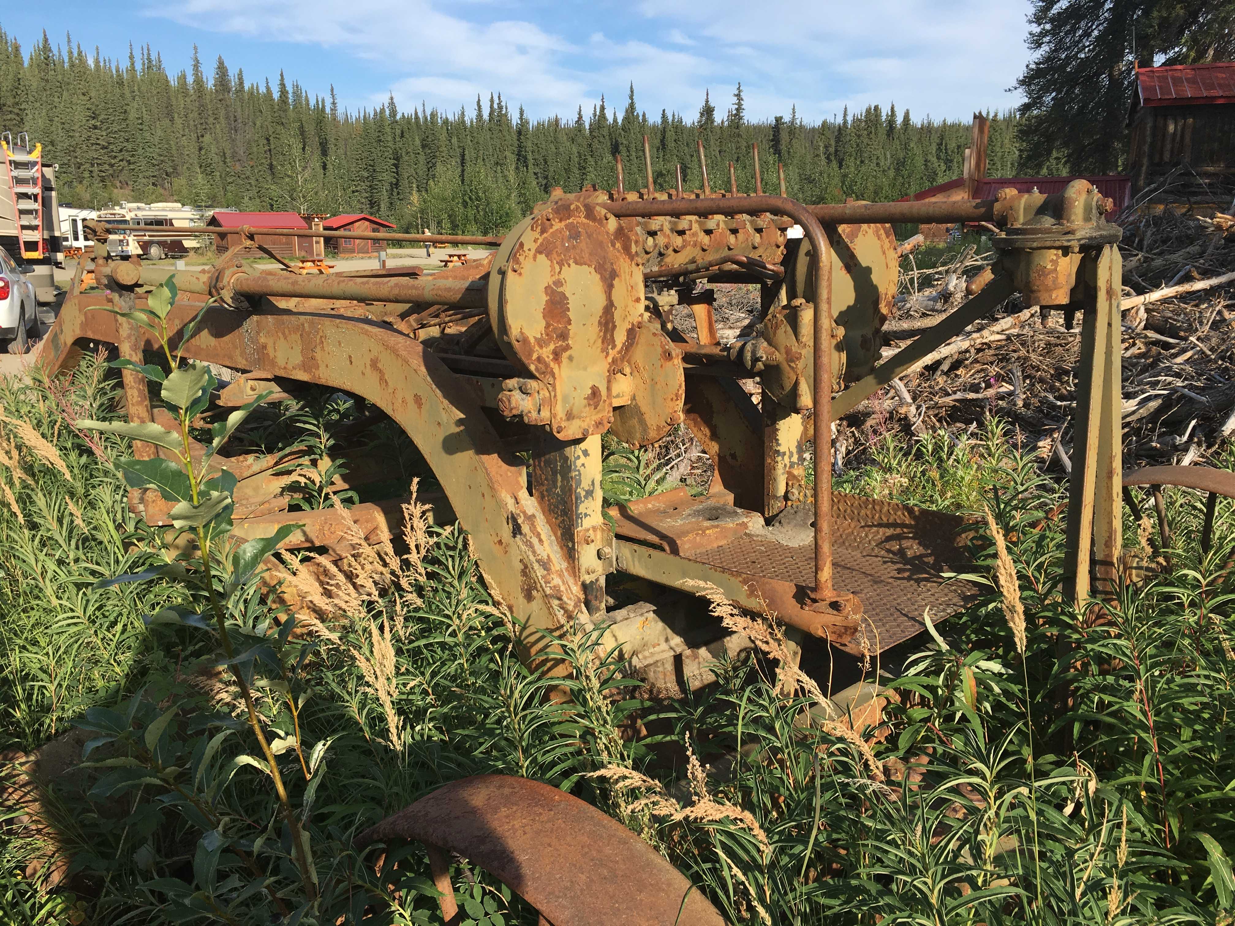
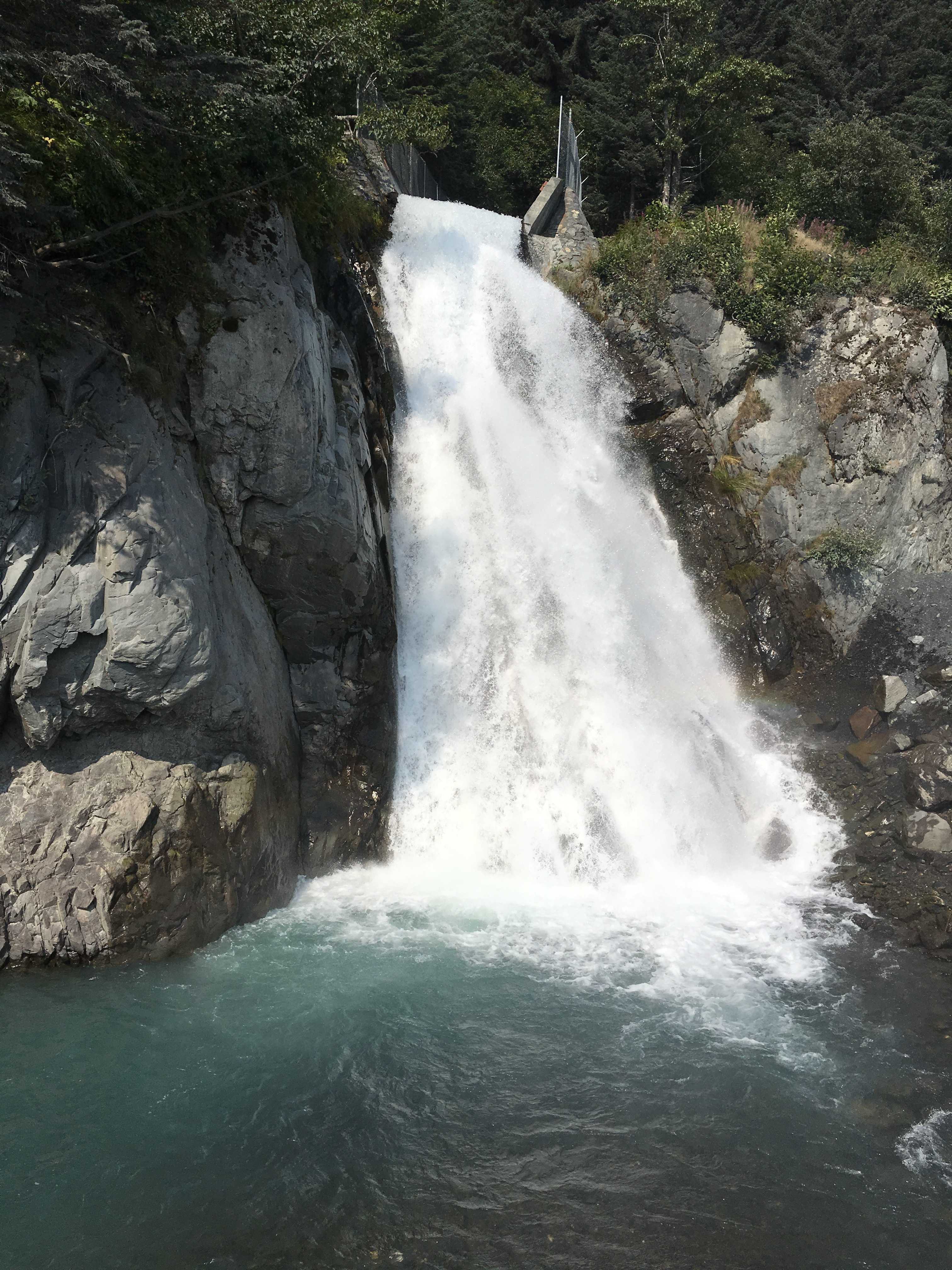
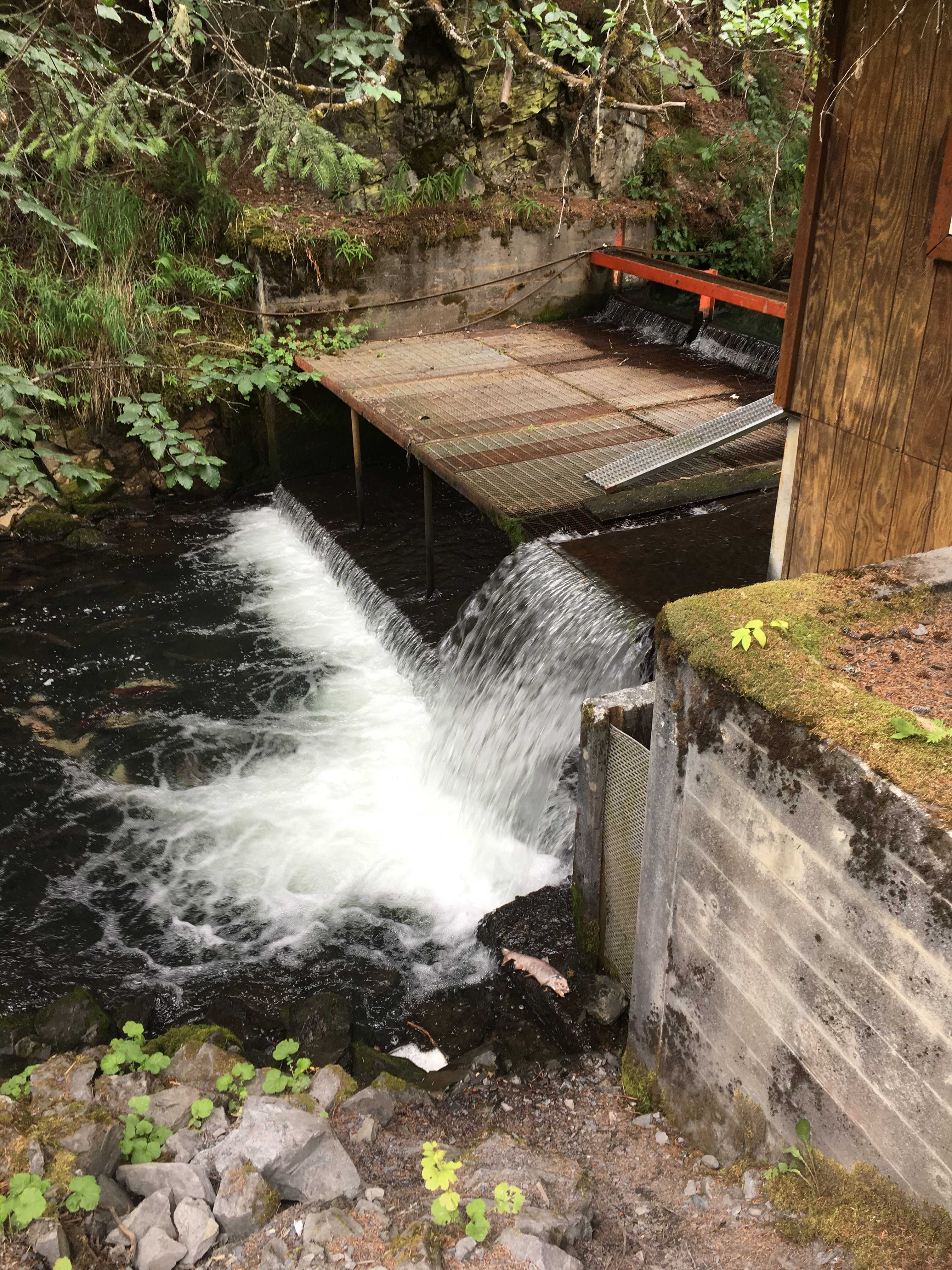
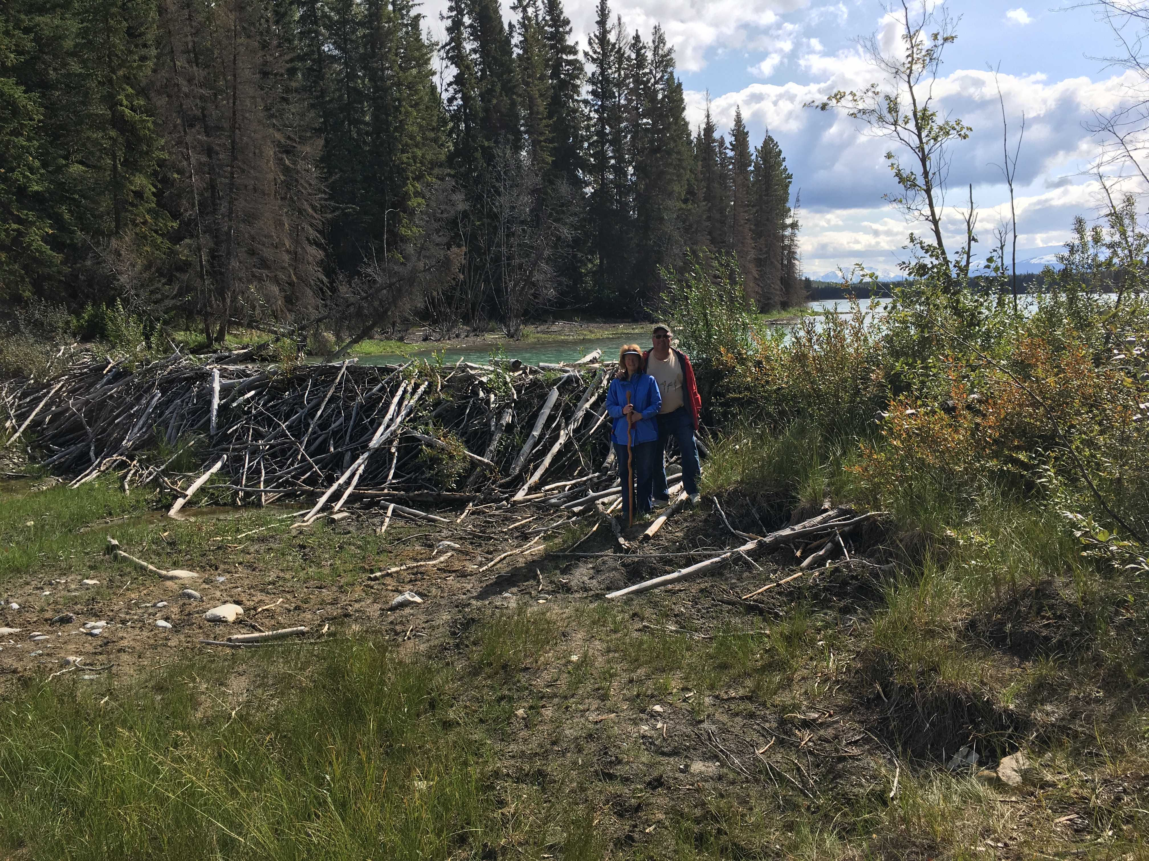 The next afternoon we went out the southern trail that ended up at a huge beaver dam. I had never seen one
 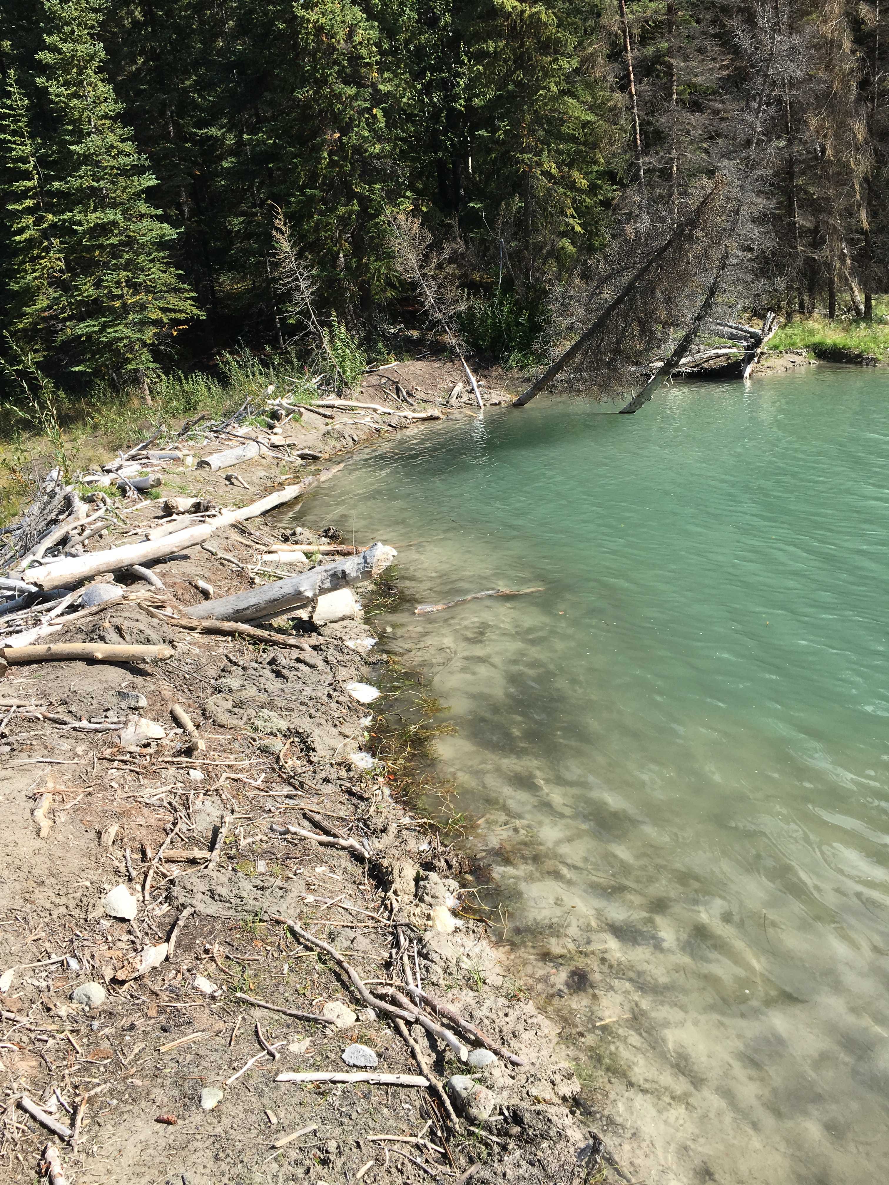 up close and I was startled by how much water it was holding back. You should be able to see how tall it was by me standing in front of it in the picture. It’s much taller than I am. Another amazing thing was to see all the stumps from fairly large diameter trees that were felled by these creatures near the dam. I still wonder how they could have moved them over to the dam.

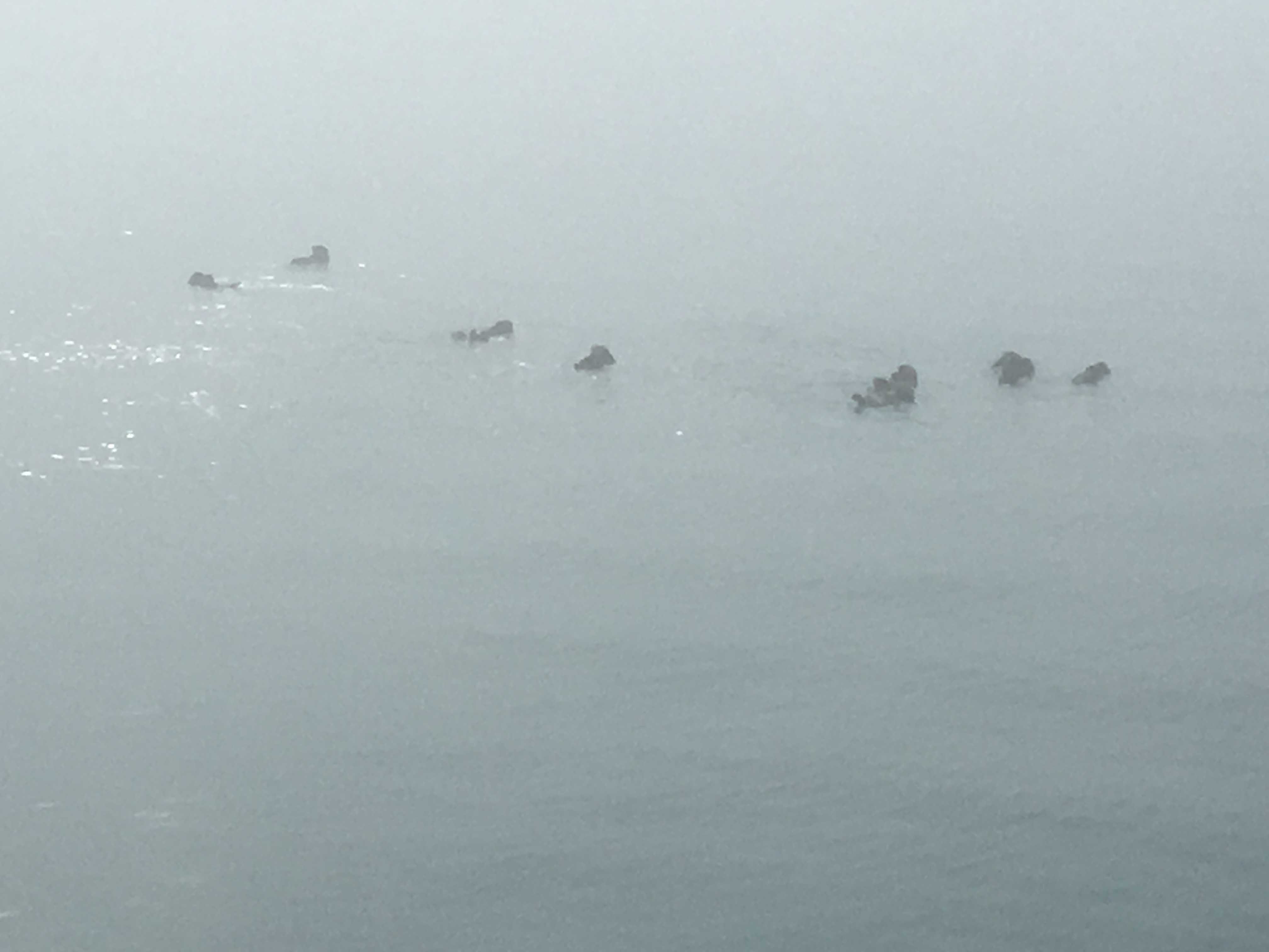
 The next evening while sitting around the campfire, we spotted a bear and her cub across the lake very close to where we were hiking the prior afternoon. That kind of made you think differently about that trek. If you blow the pic on the left you can just make out the black blob.
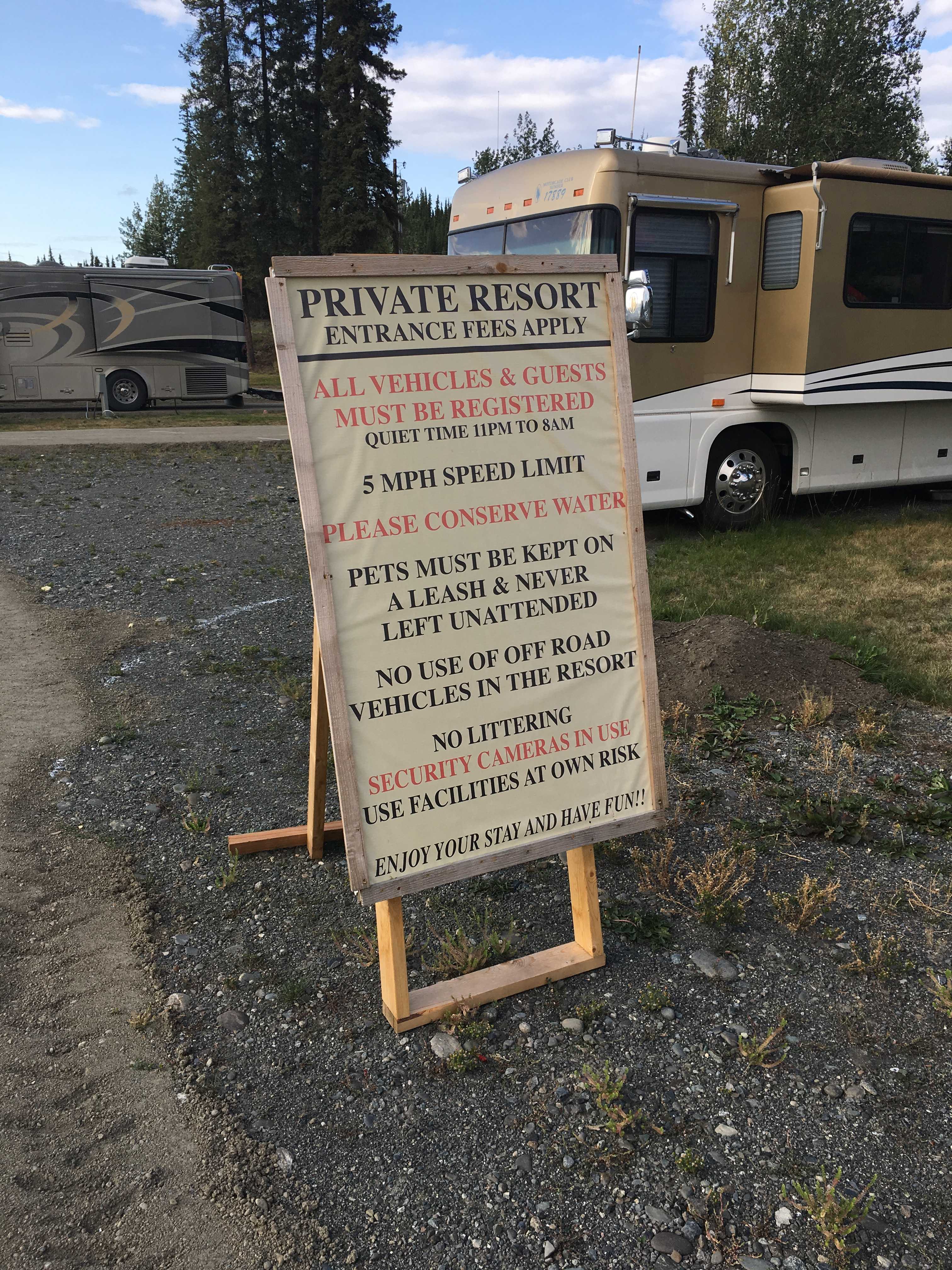
The BC campgrounds have some very strict generator hours rules. 9-11am and 6-8pm. Thankfully we have solar to make up any shortfall of power additions to the batteries from such limited genny hours. Most places we have been allowed 4 hours in the mornings and the same in the evenings. So this was a bit of a challenge to keep the power levels up.
Something we noticed at this campground was around 98% of the campers only stayed one night. Most were in prior to 6pm and gone by 10am the next morning. We where there 5 nights, so we got to see the ingress and egress quite a few times.
Larry got a little surprise the last night he bought firewood when the lady gave it to him for free, saying something to the effect of them being such upstanding campers.
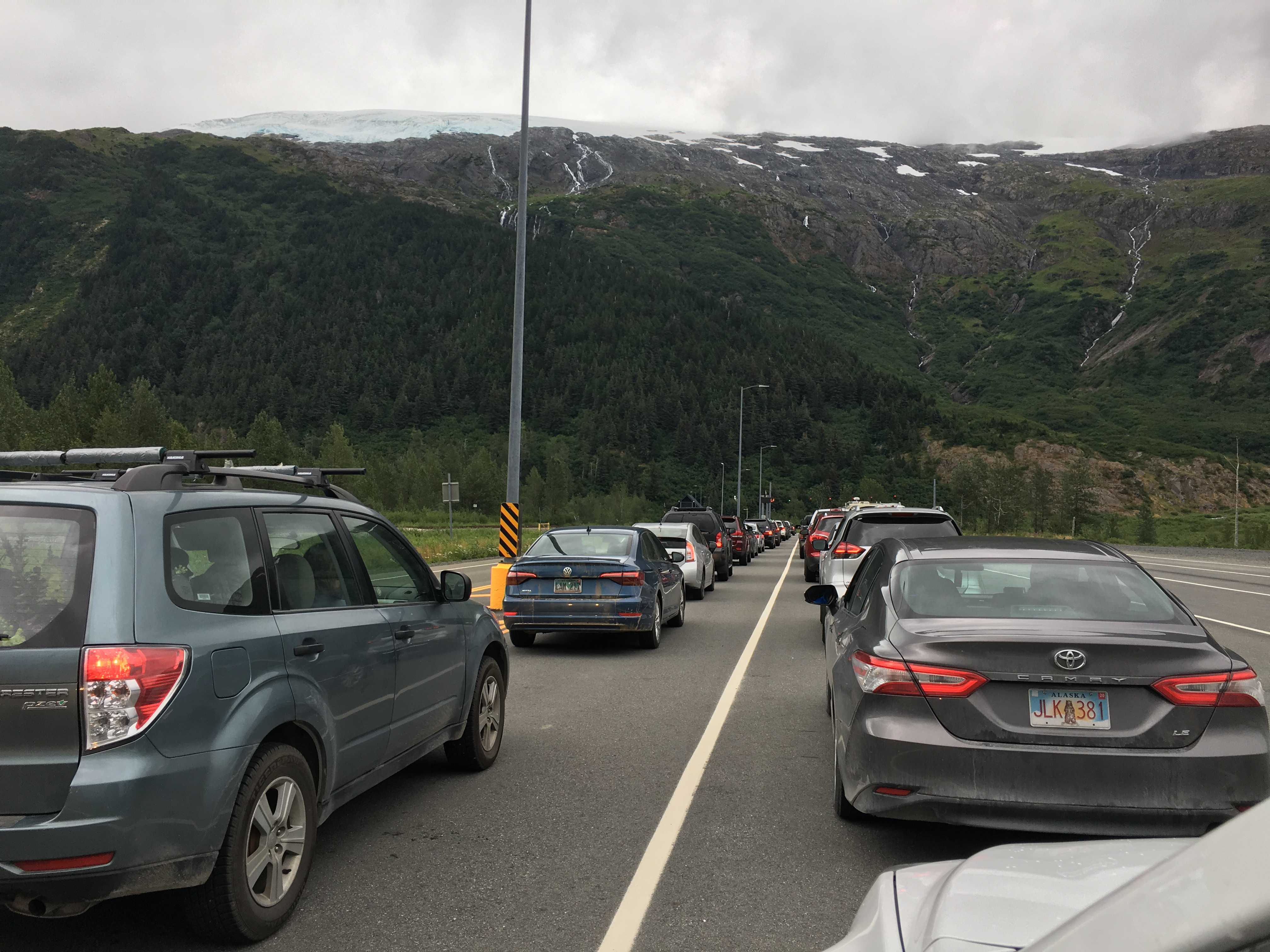
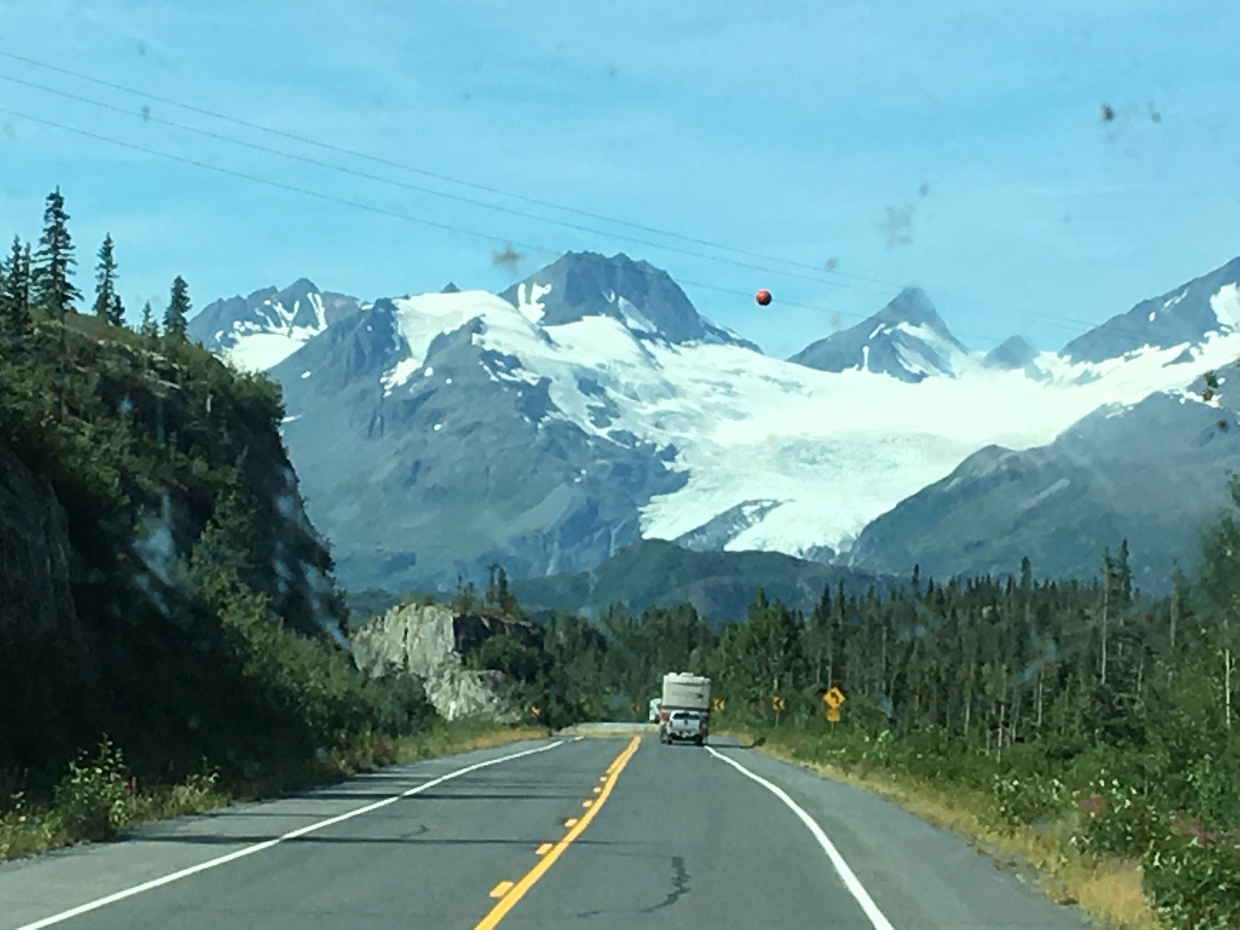
The next morning we headed out intending to camp at Kinaskan Lake, but that, as it turned out, wasn’t going to work out for us.


 ,
,