 The next morning after we arrived, we took a walking tour of the city with a Parks Canada guide. It was very informative and they also take you into a few restored historical buildings that you cannot enter without a guide. There was a saloon, a bank, and a post office. The saloon was amazingly restored to match a picture taken at the turn of the century, even up to finding the original painting that had hung over the bar.
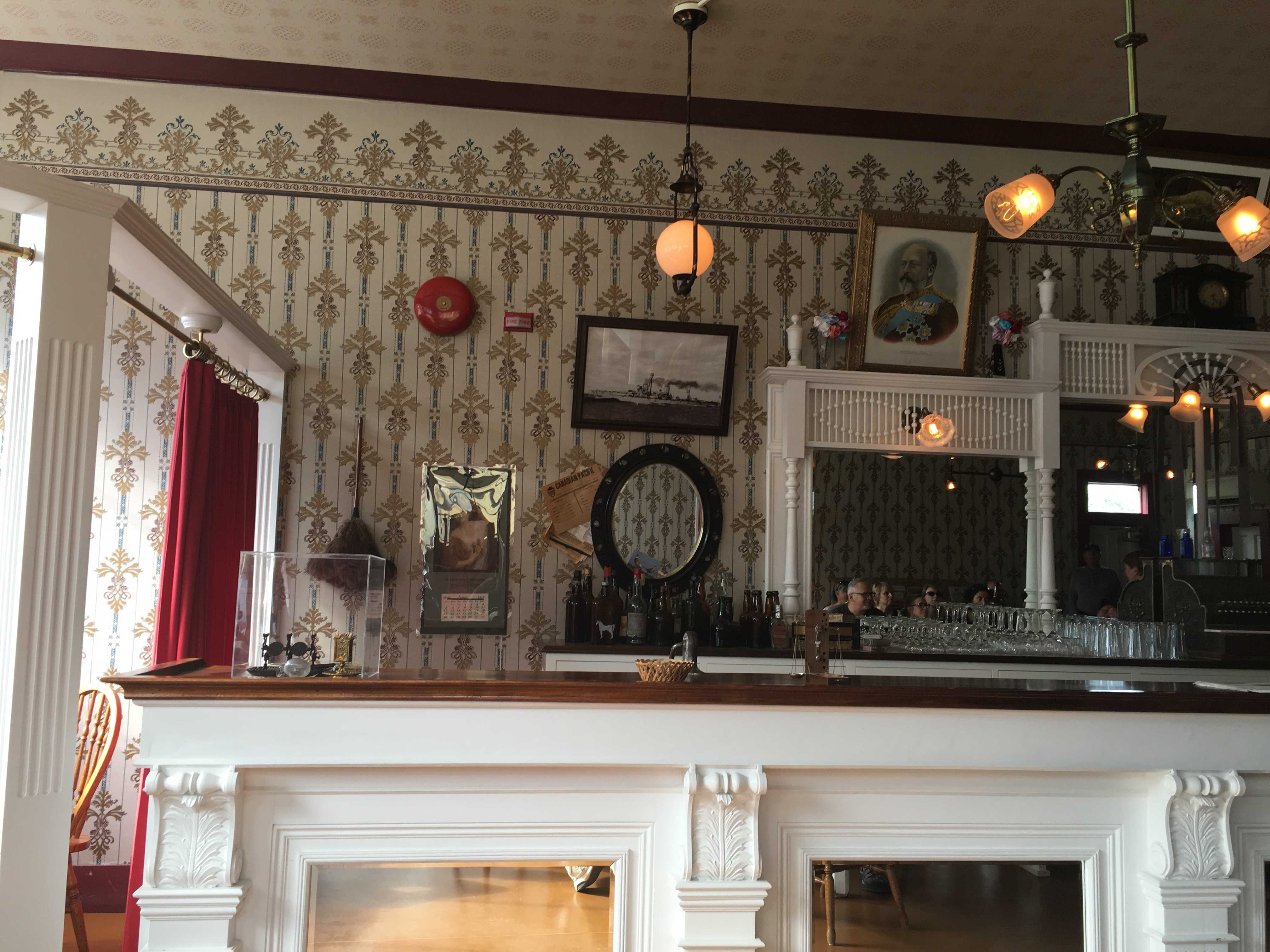
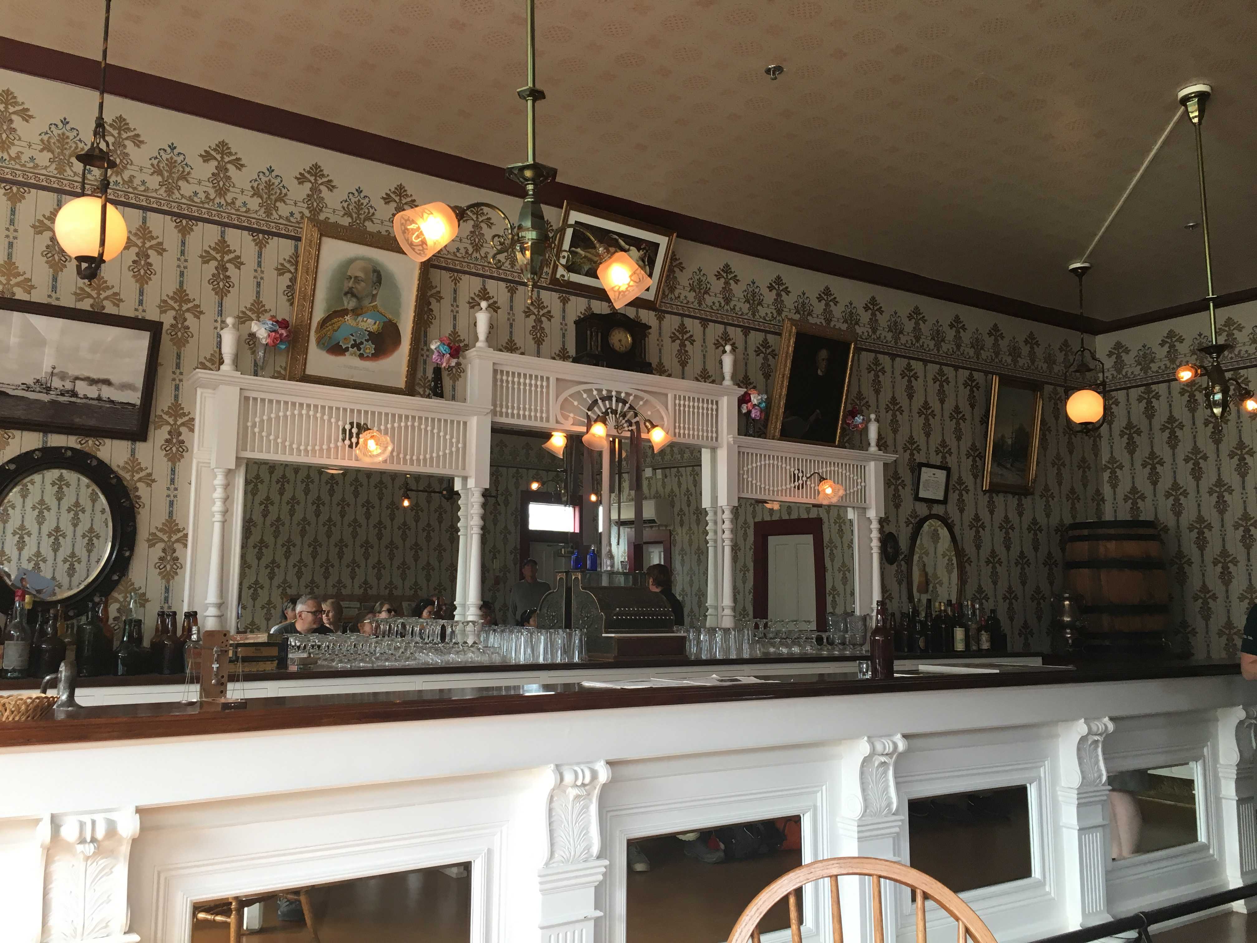
Turns out Parks Canada put out a request to townsfolk with descriptions of certain things they were looking for. One of the paintings was found in the attic of a hotel in town.
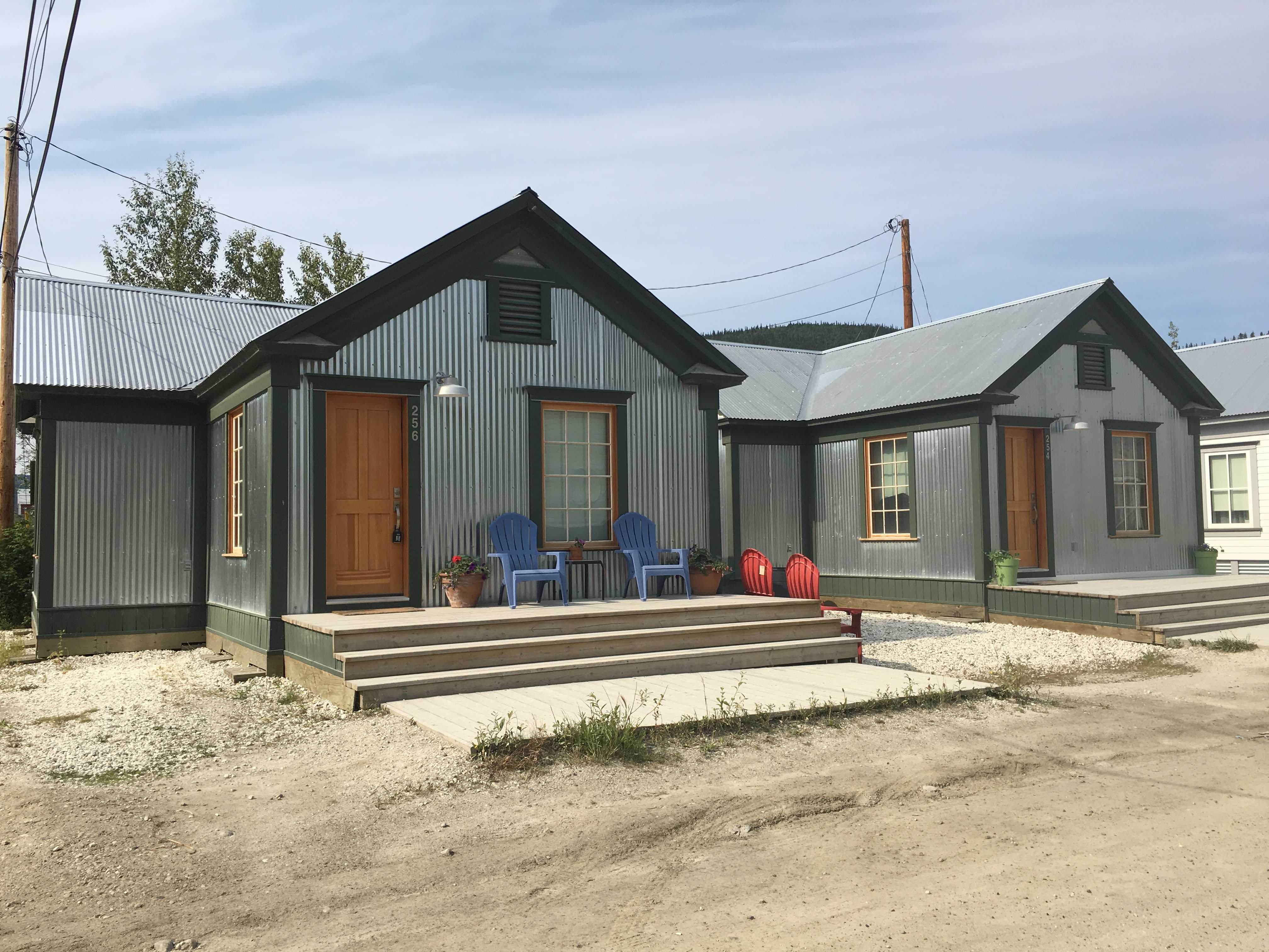
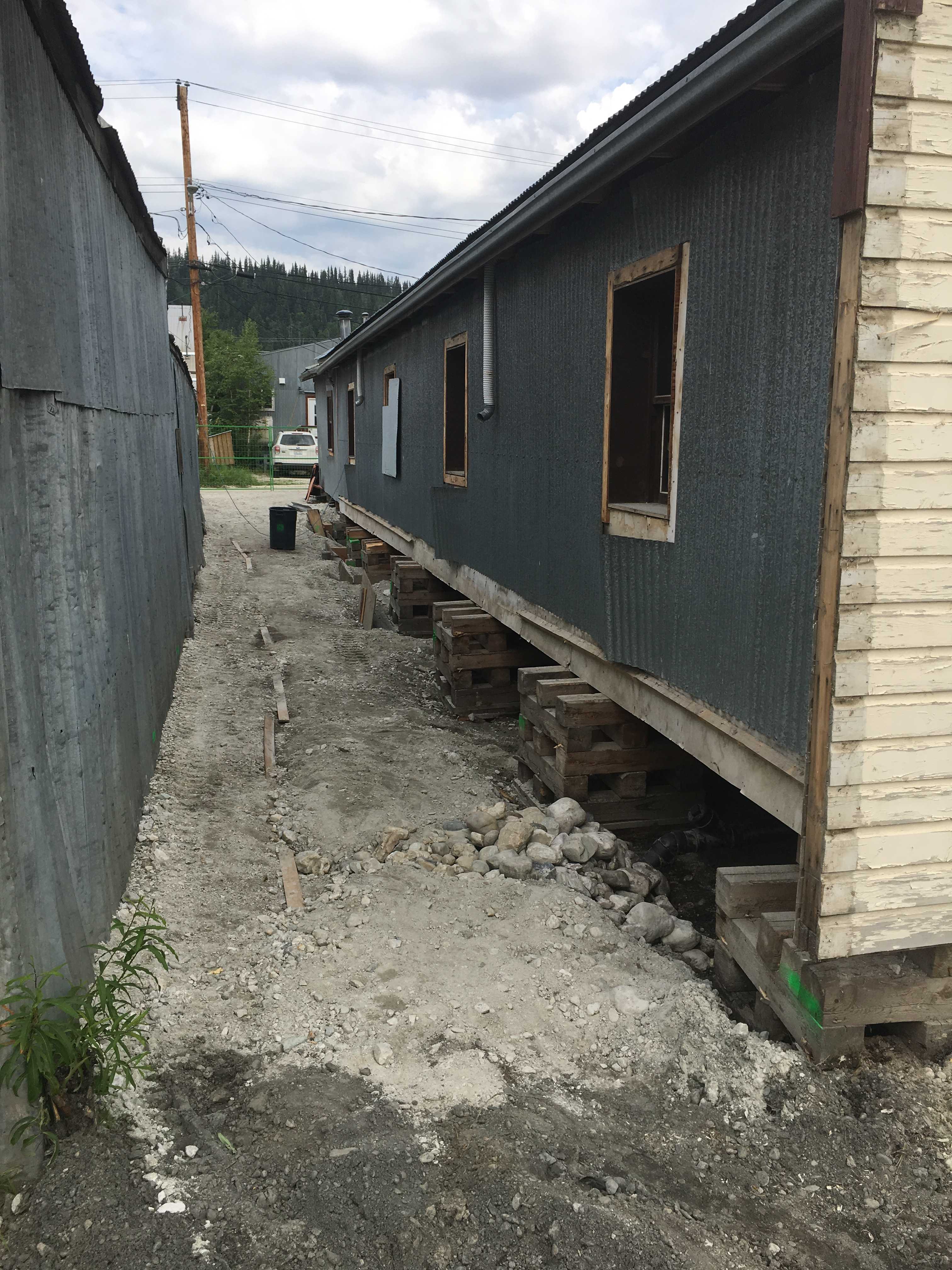
They also explained why we see a lot of the buildings up on cribbing. It’s due to the permafrost. All the buildings that were built directly on the ground started falling over due to the heat from the buildings thawing the permafrost layer which destabilized them.

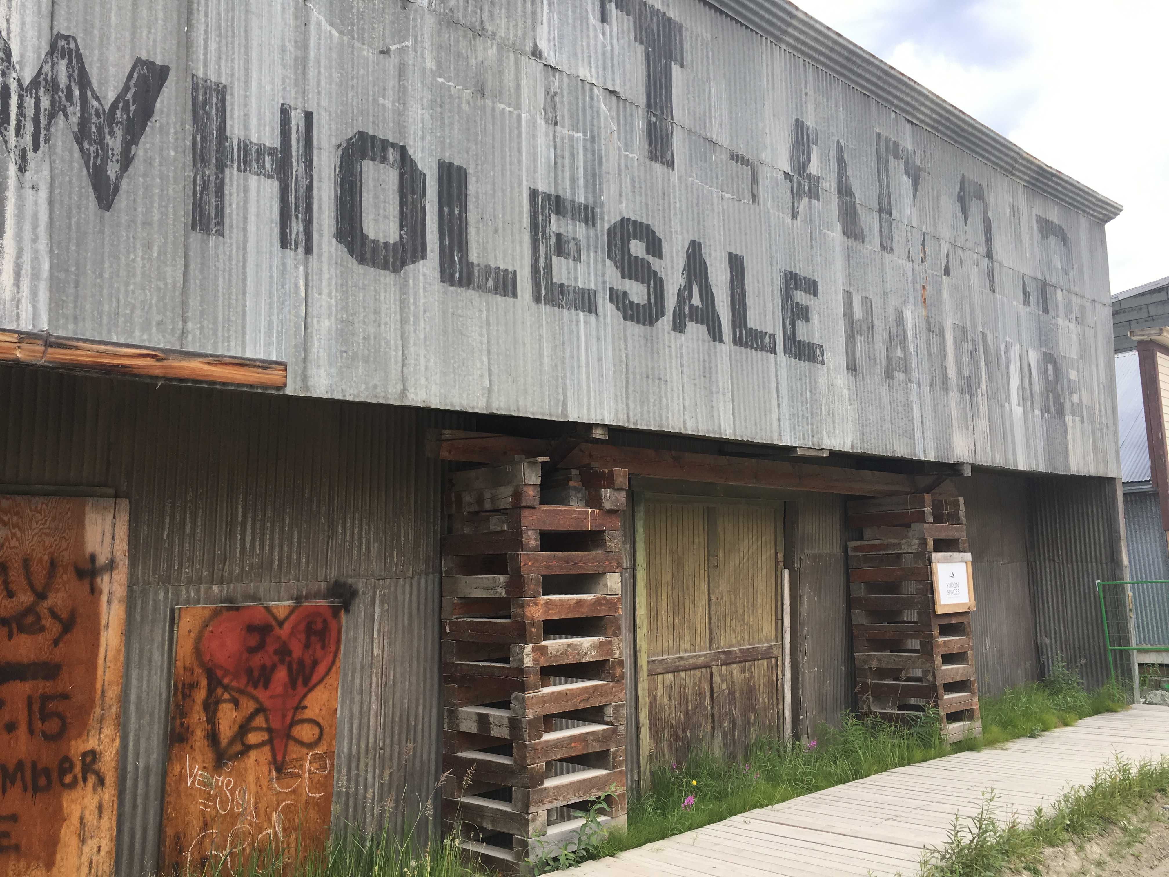

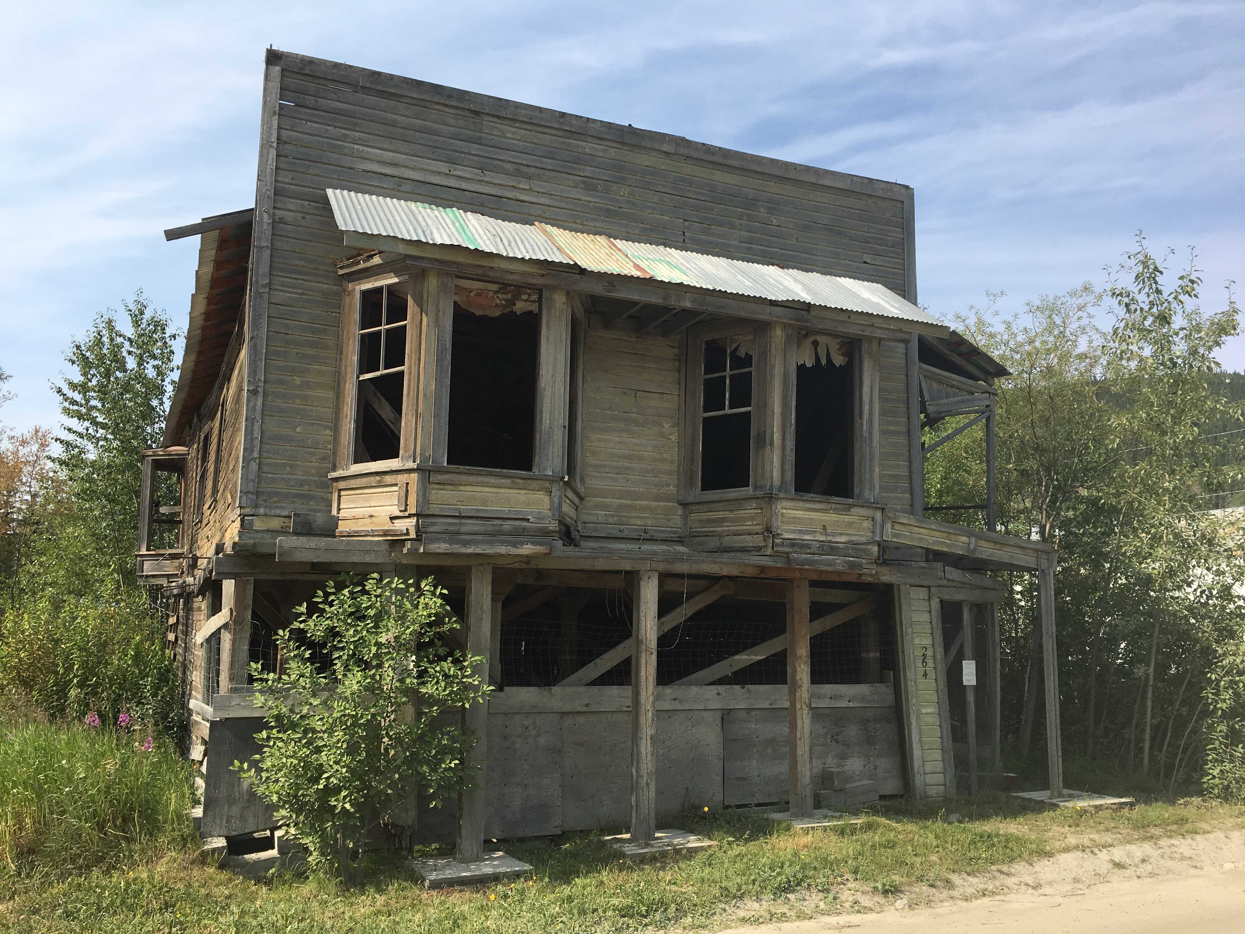


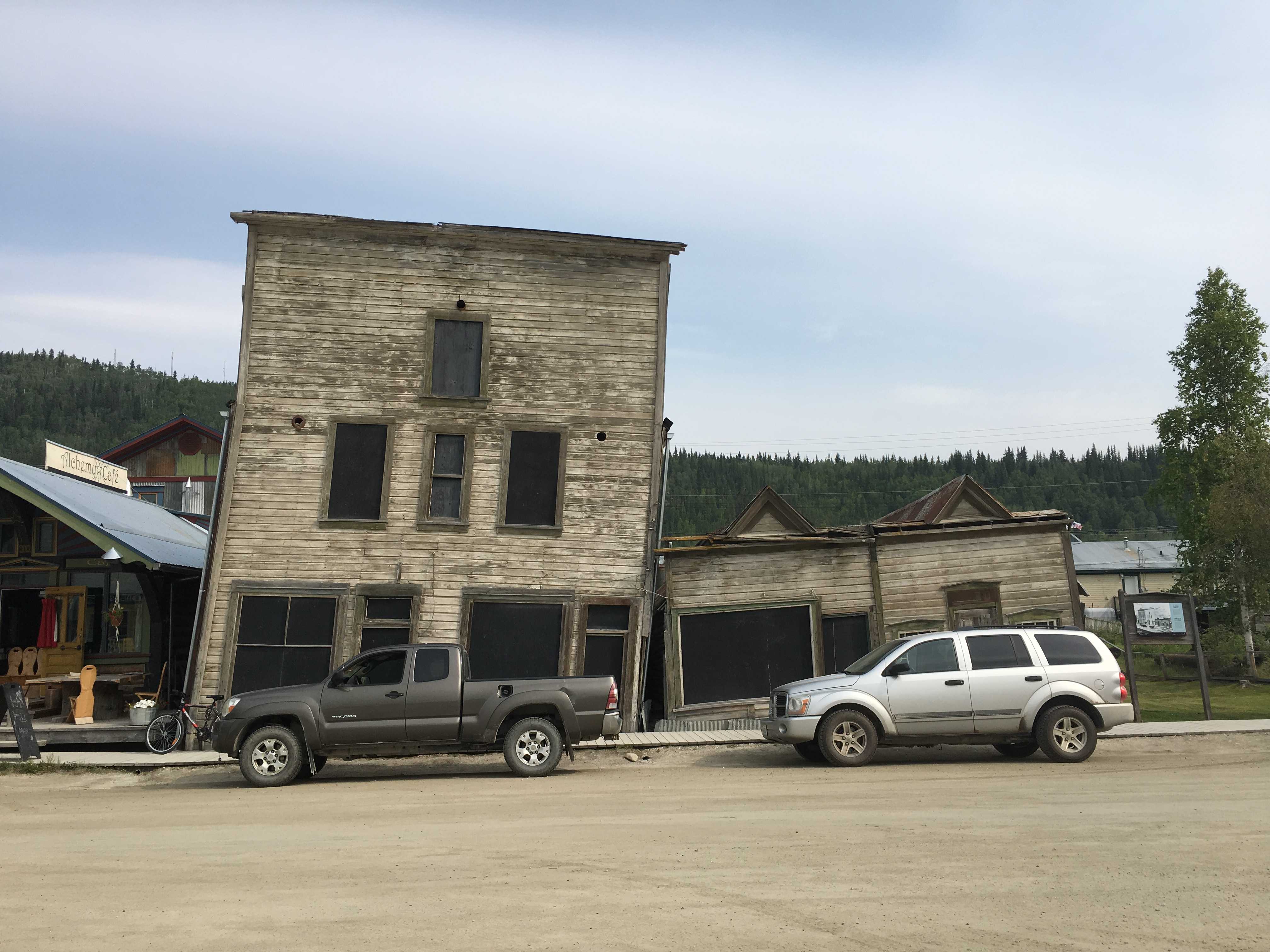
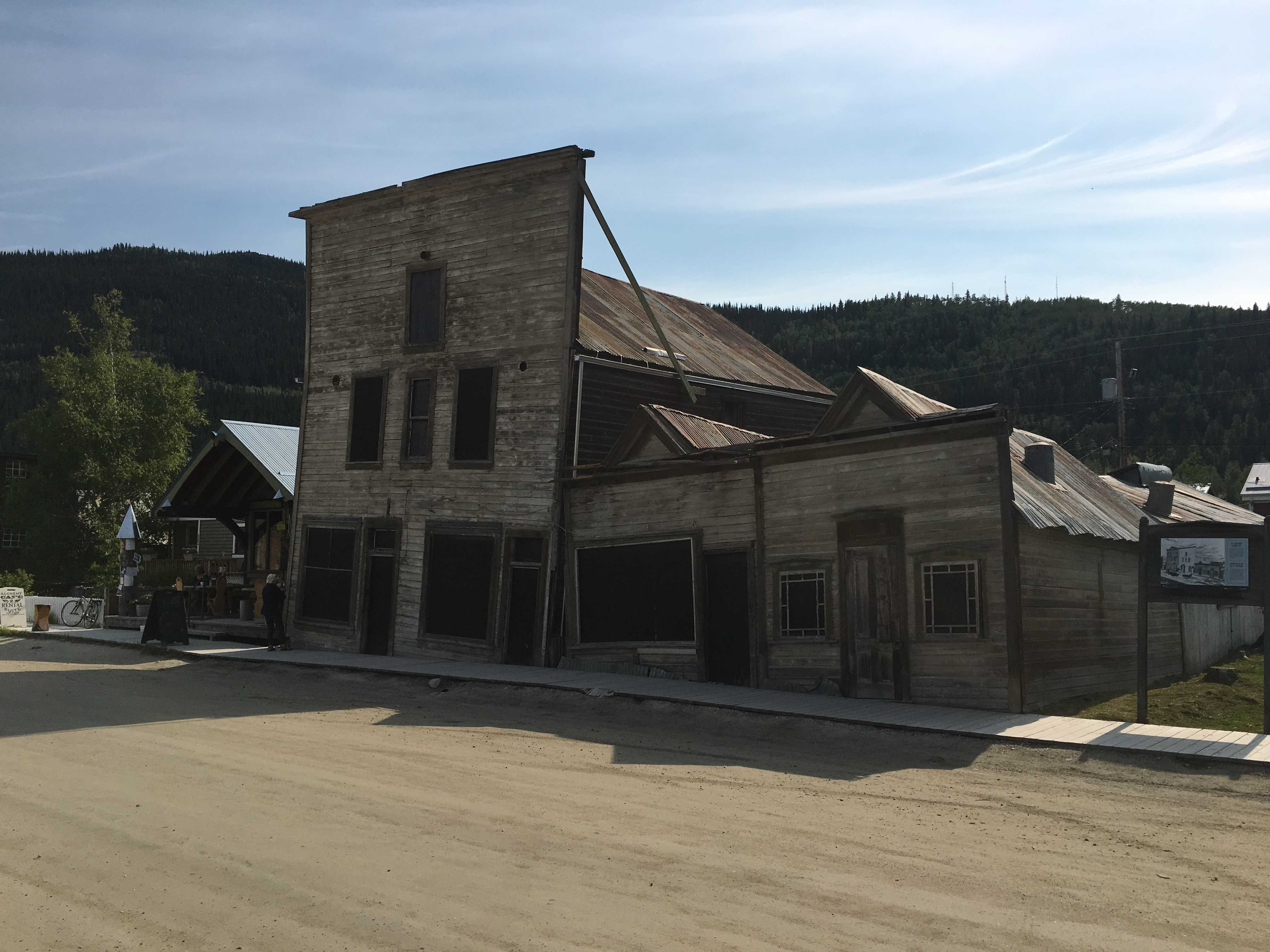
The place is a “building preservationist” dream. So many of the original buildings are still there in various states of disrepair. One of the banks right on the river had a facade of pressed tin (steel?) to make it look much more like 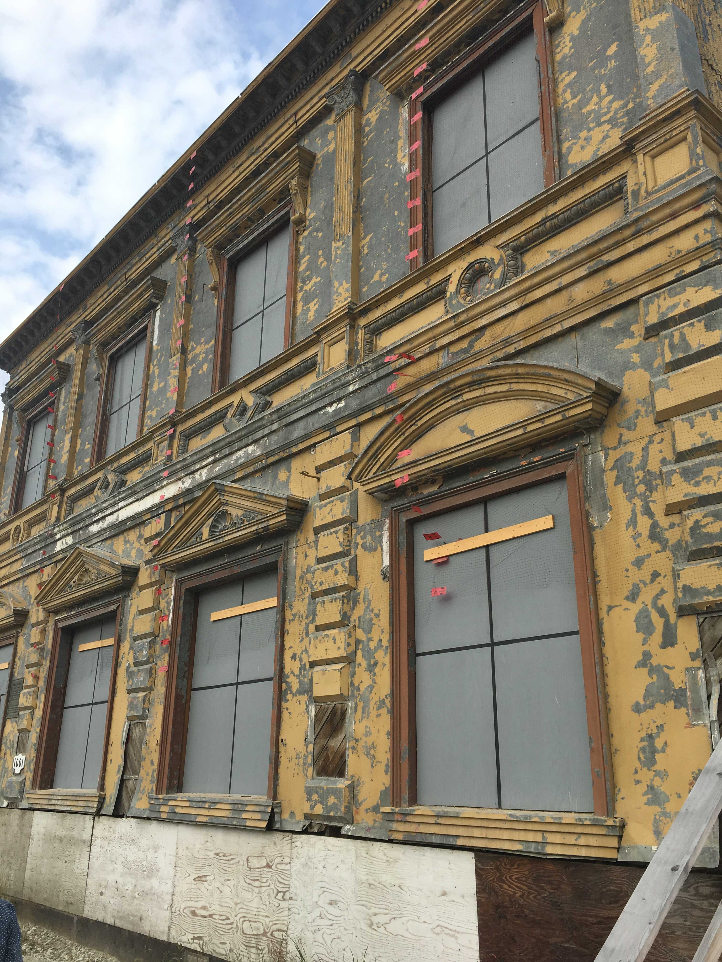 ornate stonework from a major bank in a large city. I had never seen anything like that. But it would have probably fooled anyone who saw it during its heyday.
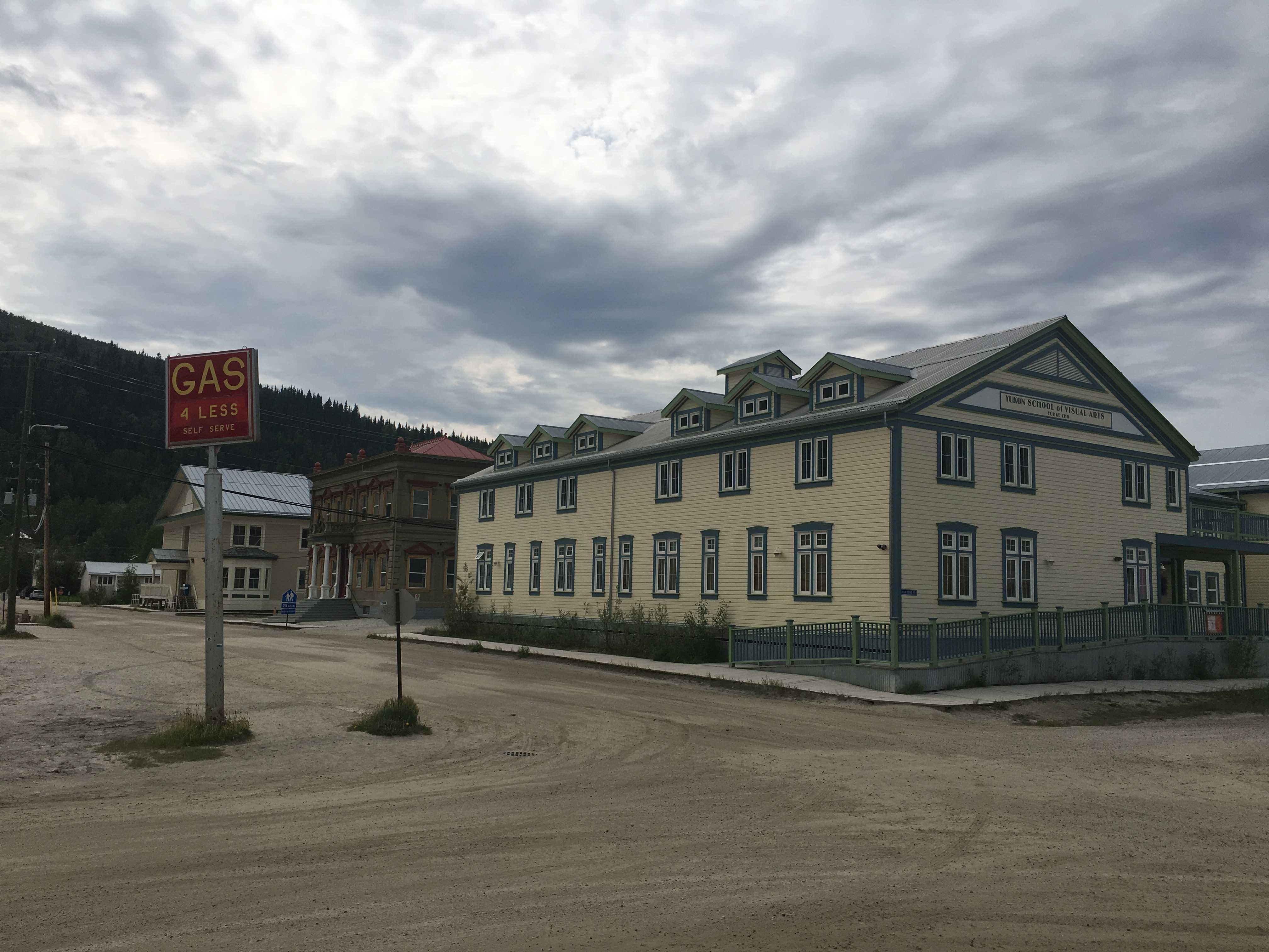
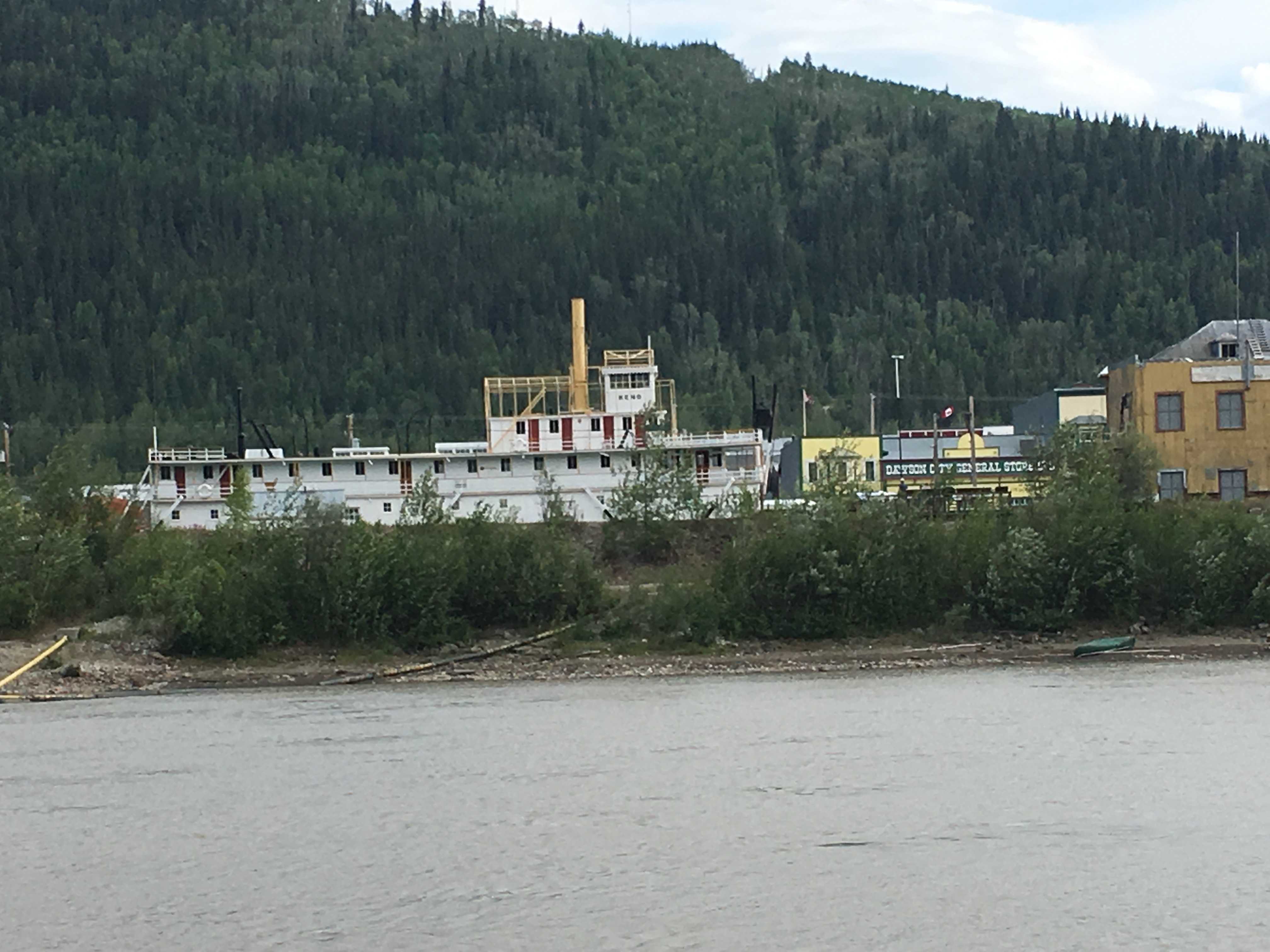
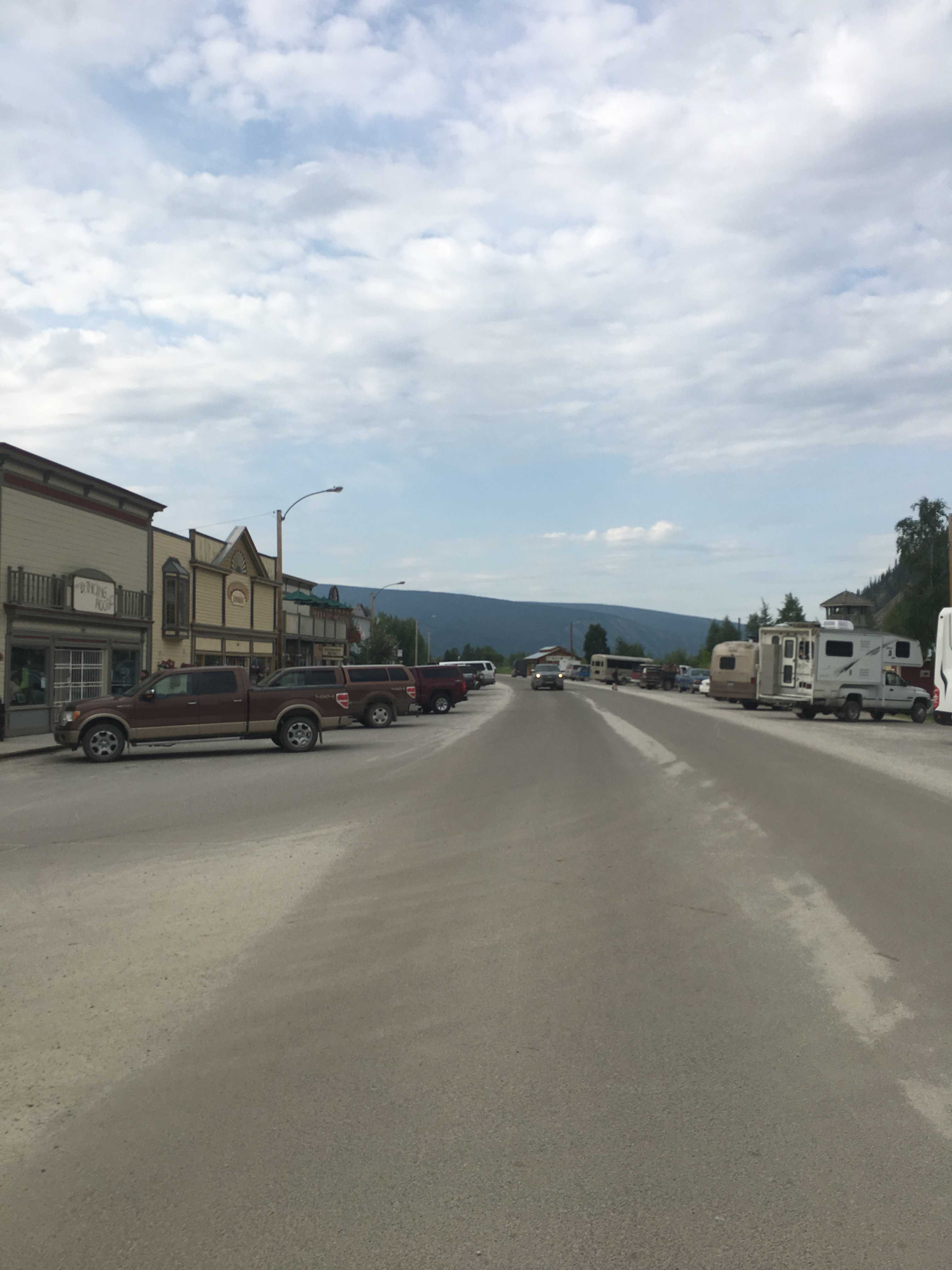
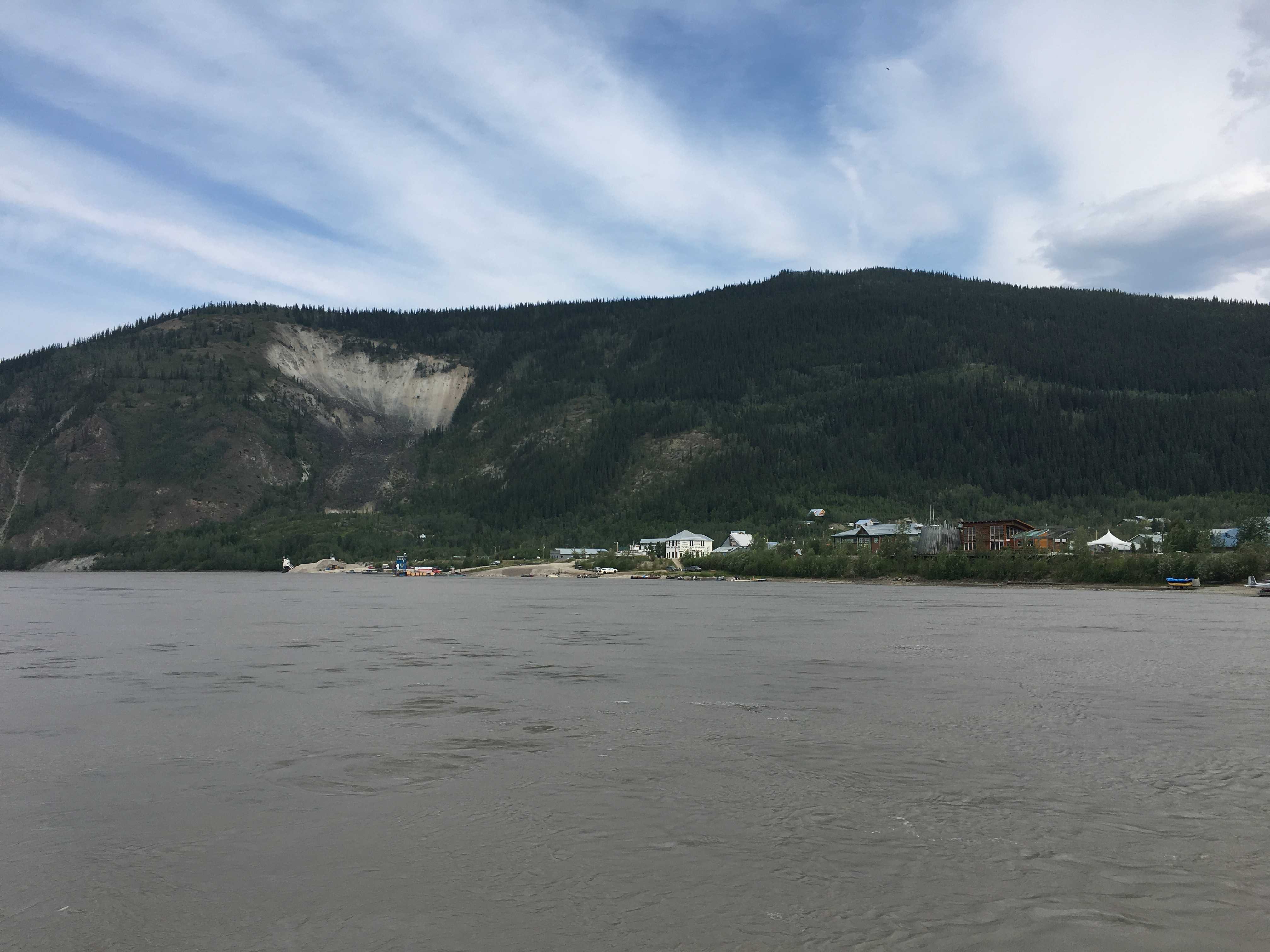
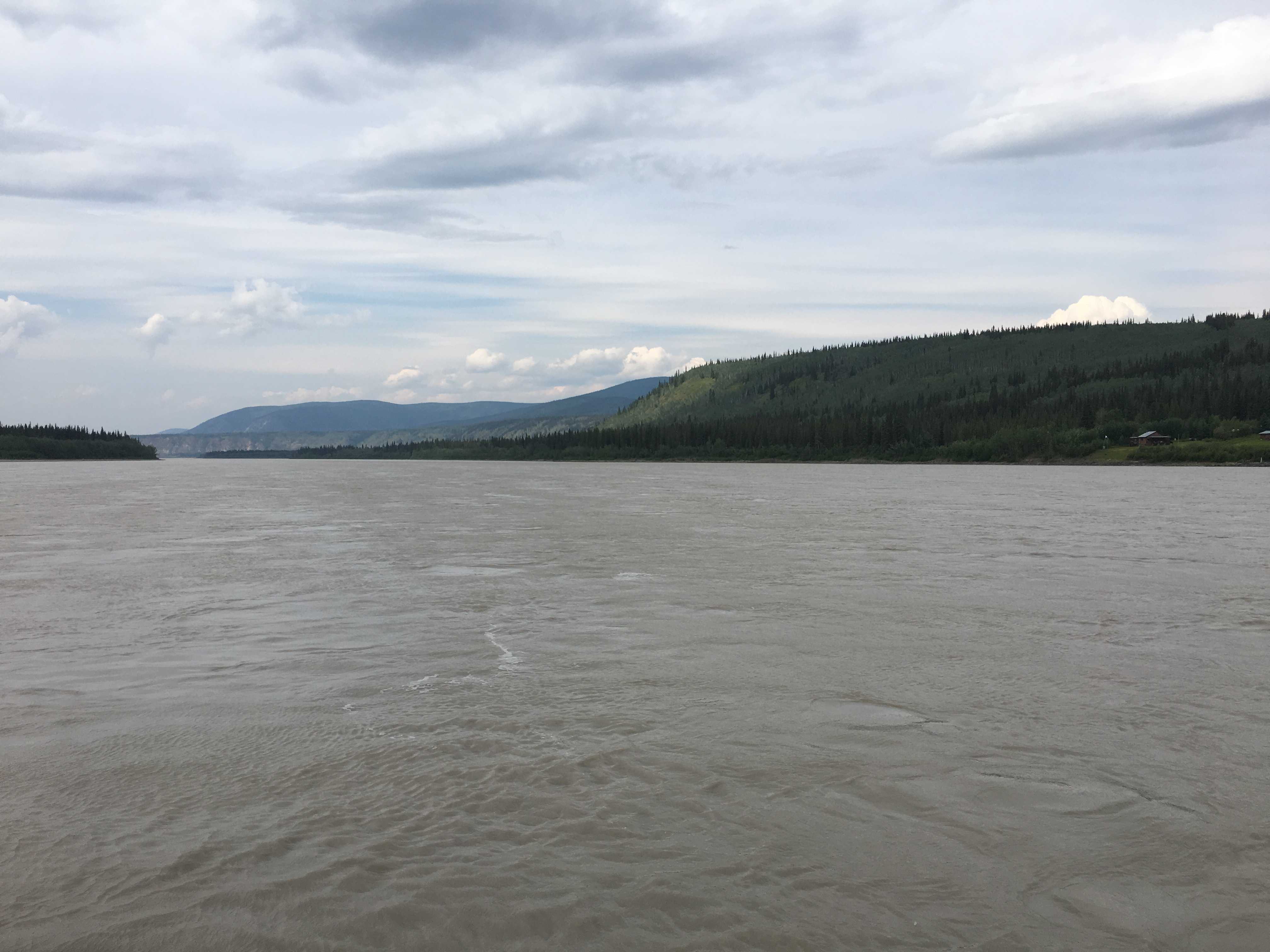
The streets are dirt in the whole town, except the Klondike Highway which runs next to the Yukon River between most of the downtown and the newish dike. We were told the town used to flood regularly and there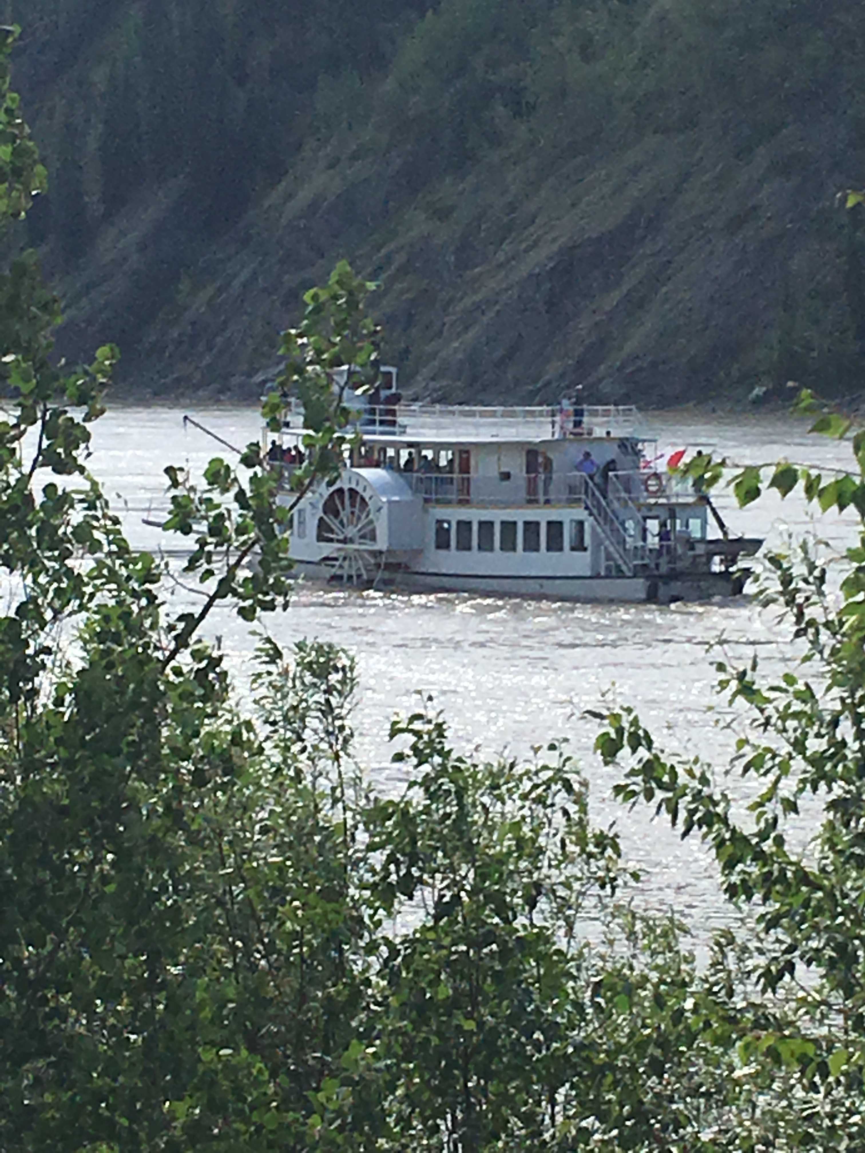 was a particularly bad flood in 1978, so the government built a 10′ tall and not too long dike next to the river to protect the city. There is a nice walking path on the top with an occasional park bench to sit and watch the river and boats plying the water.
 We heard from folks in town that we should visit #4 Dredge. I really wasn’t too sure what to expect as the only dredges I remember as a kid sucked up muck from the bottom of rivers to make deeper channels for boats to navigate. That is not what we found when we drove 12 km into the wilderness on a bumpy dirt road.
 One of the first thing you notice as you get closer to
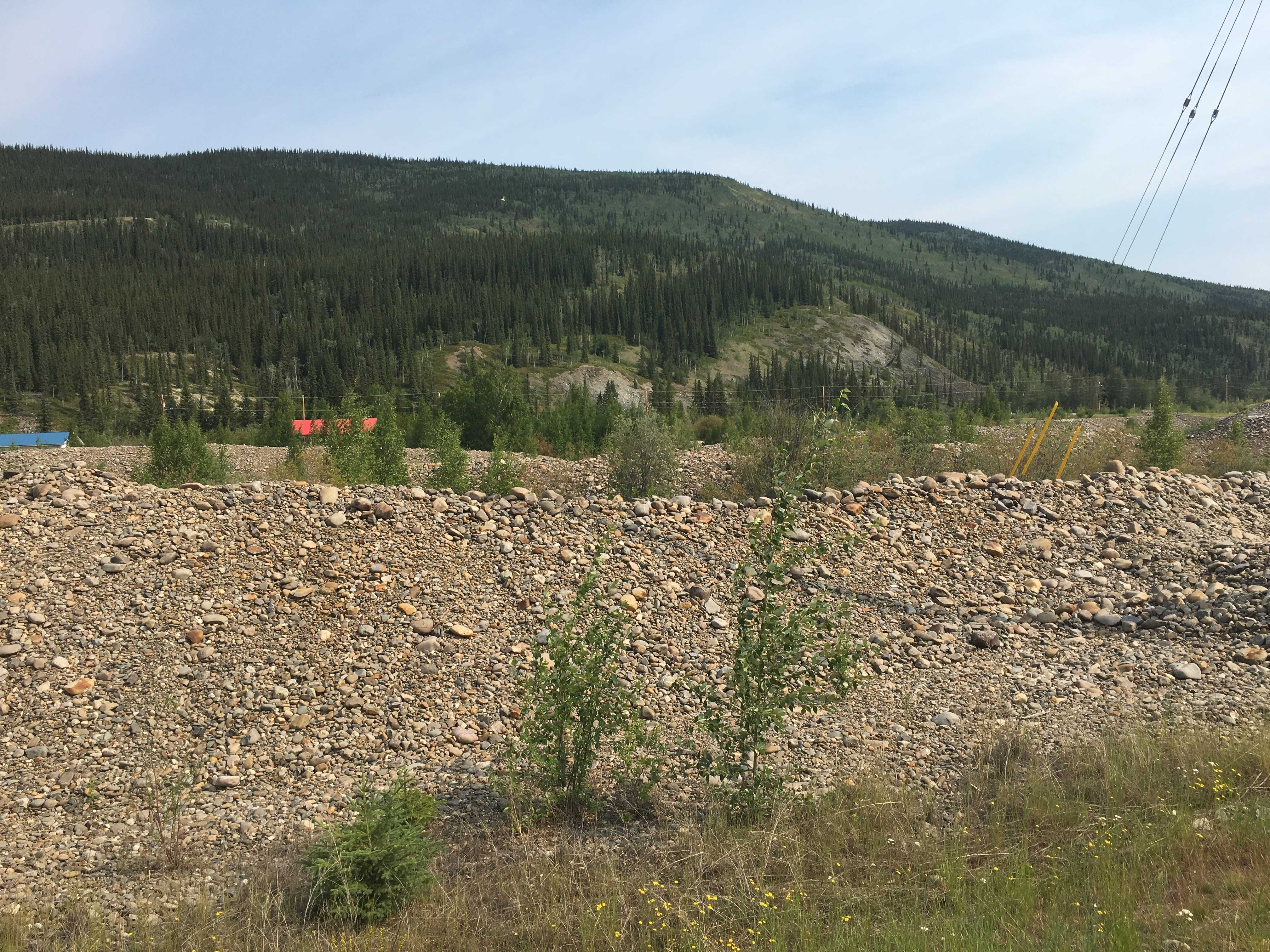
 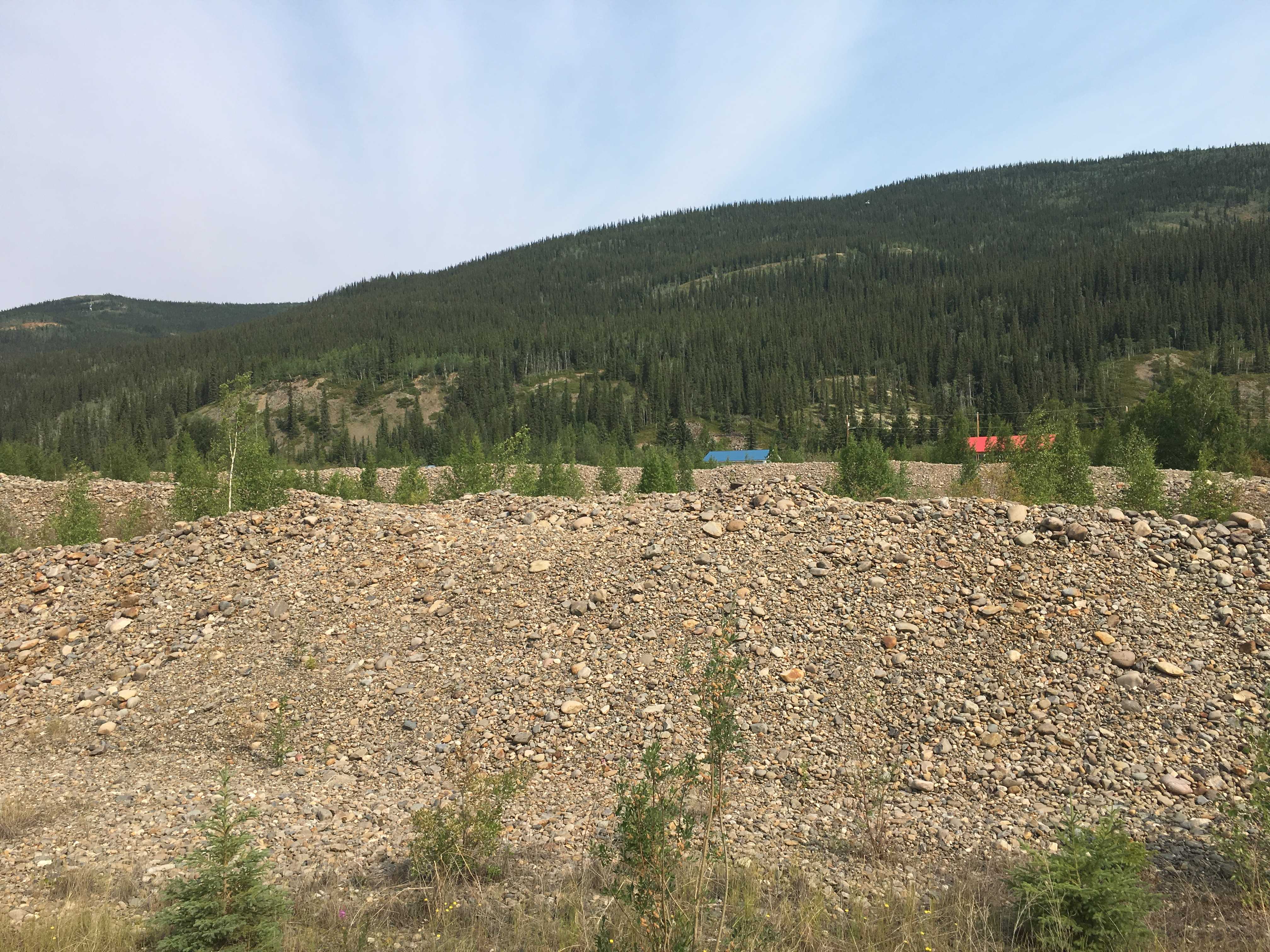 Dawson City are huge mounds of dirt and rock lining both sides of the highway and they look to go on for long distances in all directions. I guessed it was tailings from mining, but there was so much I had no idea how they could have made so much.
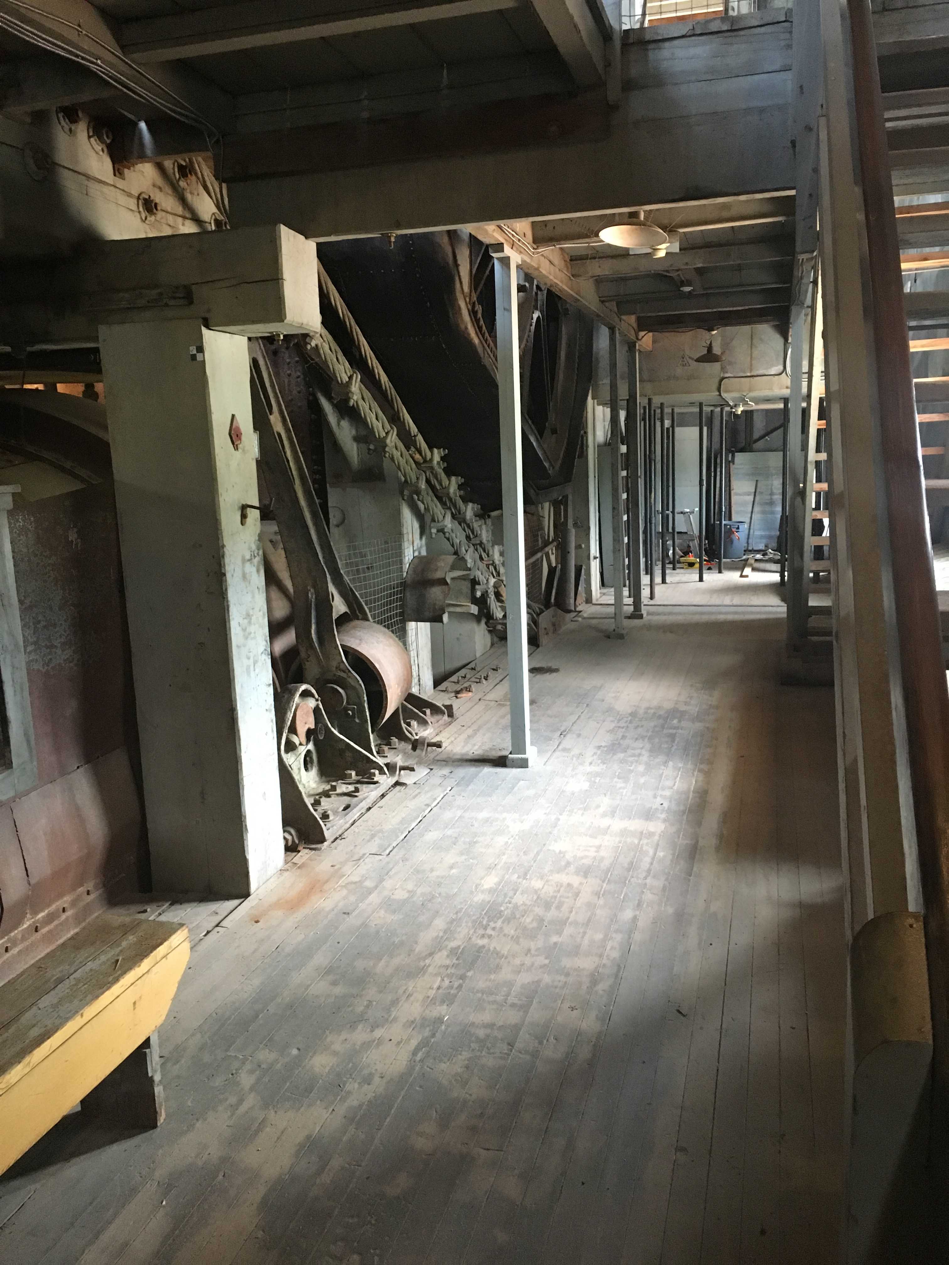
Then we got out to the dredge. It was a massive “ship,” for lack of a better term. Very 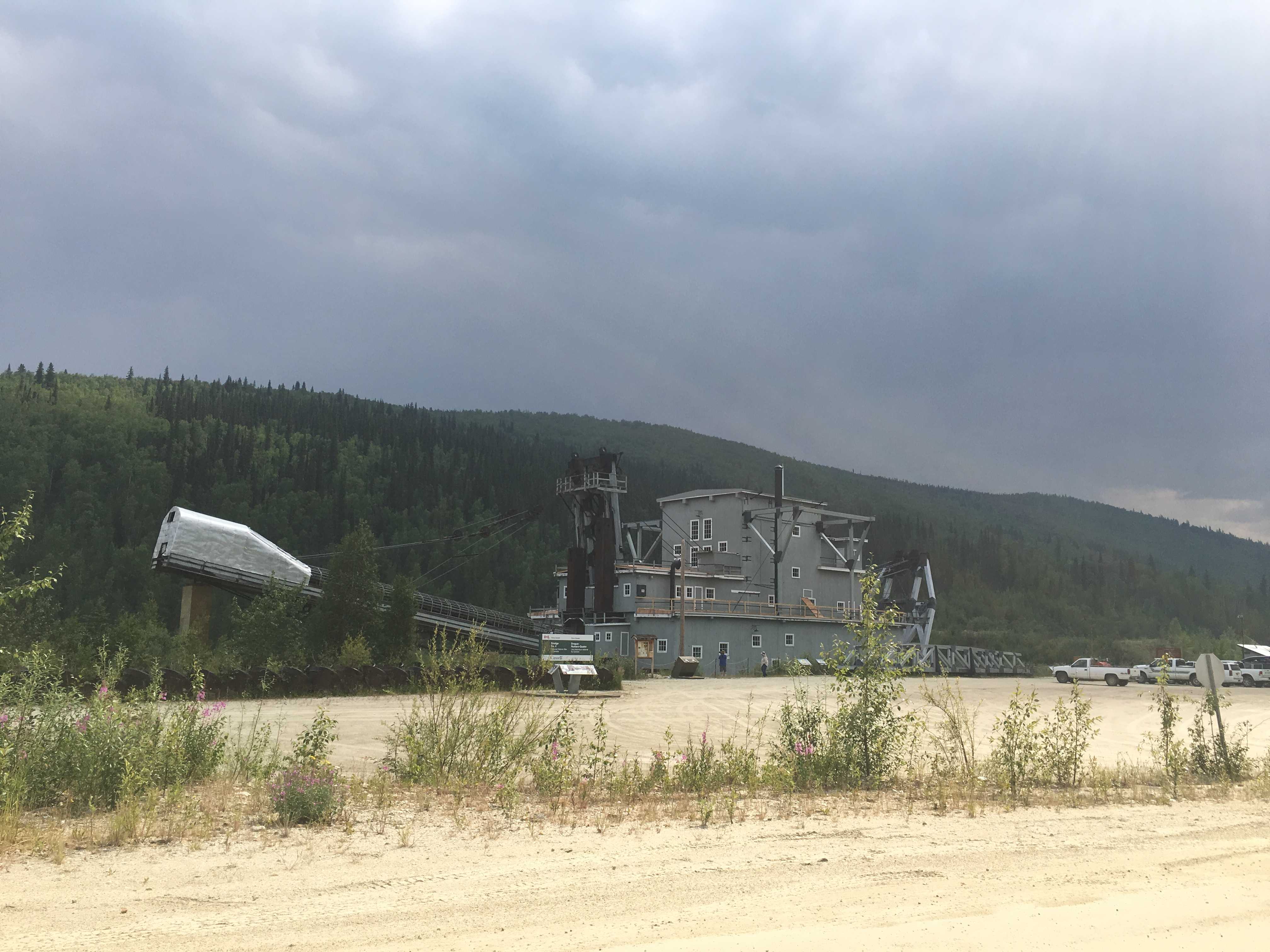 tall and wide, made out of wood and had two large
  appendages sticking out of it. The front side had what looked like a large chainsaw blade but with 2.5 ton buckets for teeth, and the rear had a long and tall conveyor structure for spewing those tailings out the back.
Now the  tailing piles were starting to make sense, but not how
  they appeared to zigzag across the landscape. We opted to take the tour as I had never seen anything resembling this thing. It was basically a massive machine that scooped out all the dirt in front of it down to bedrock then dumped it into a rotary drum with different sized holes drilled in it for the gold to drop out into sluice ways for letting the gold settle to the bottom onto what looked like cocoa door mats. For the stuff (rocks) too big to go thru the holes, it went out
  the back of the drum and onto that large conveyor to be ejected out behind the behemoth. It was built in 1912 to ply the Klondike River. It all ran on electricity generated by a hydroelectric dam they built for it. It literally floated on a
  small amount of water so it could move about by being pulled along by two huge winches that were tied to trees or dead-men placed in front of it. It would run those buckets down to bedrock where the gold was thought to be, and they used the winches to pivot it to the right and left till everything in
  its reach could be scooped up. Then they would winch it 12′ further forward and start all over again. The pivoting of the buckets side to side explained to me why the tailings were in that zigzag pattern as the back of the
  “ship” would go back and forth the opposite direction of the front. And this went on for years, usually running May thru October, 24 hours a day.
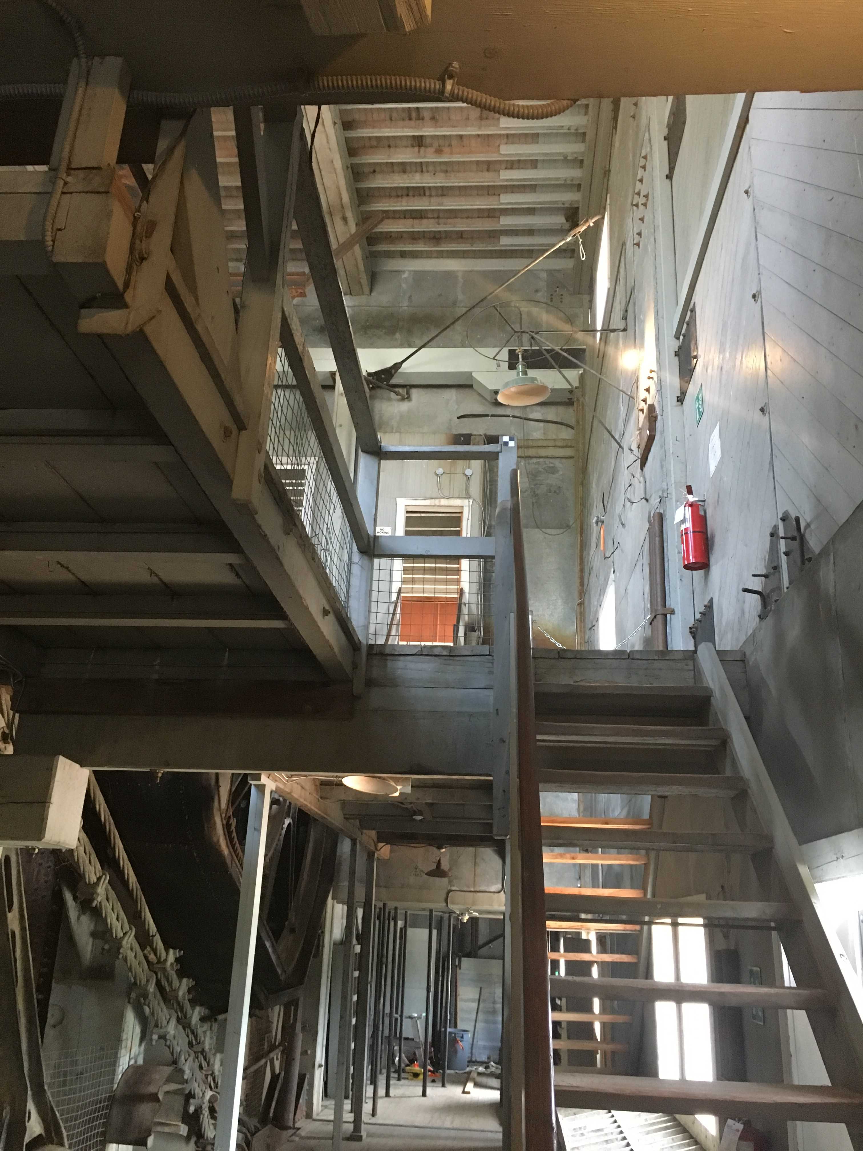
There was a lot of other stuff going on to keep this monstrosity running. One major thing that had to occur was the permafrost had to be thawed ahead of it. I assume the buckets could penetrate the permafrost but the gold would have probably gone out with the tailings had they not thawed it first. The most impressive thing of all was this huge dredge was crewed by only 4 men. I thought it would take 50 after walking thru the whole thing. I was really surprised to hear it was only 4. The tour takes you from the bottom to the top of the thing, which is a tall 4 stories with very steep stairs, all wooden, but similar to the steepness on a modern navy vessel. Dusty was afraid of the open-backed stairs, so Kathy held him going up and down the stairways. He hung on for dear life!
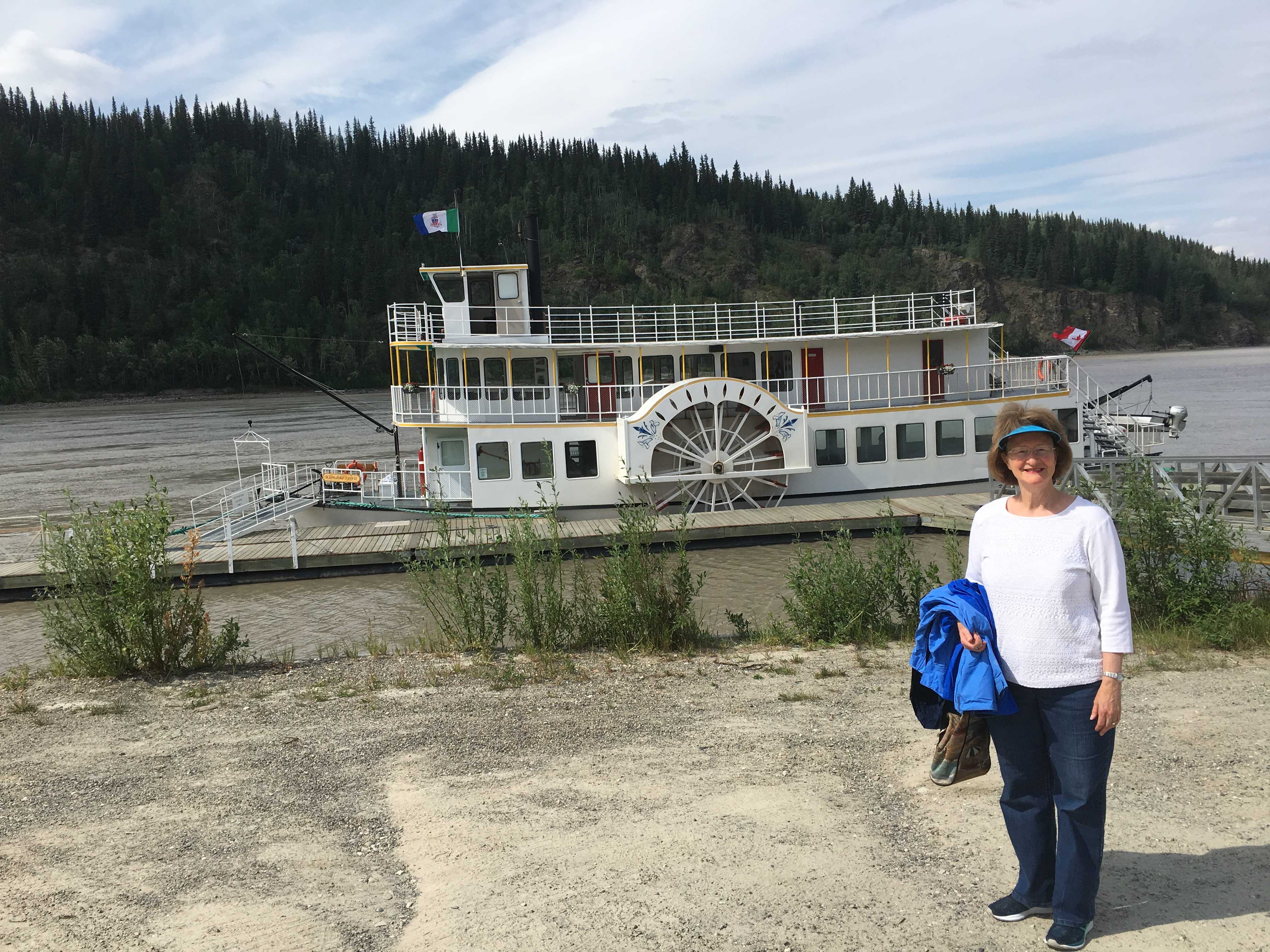 After touring the dredge, we had reserved tickets for the side wheeler that plies the Yukon River from Dawson to Moosehide, then back up river to the confluence of the Yukon and Klondike rivers. It was a
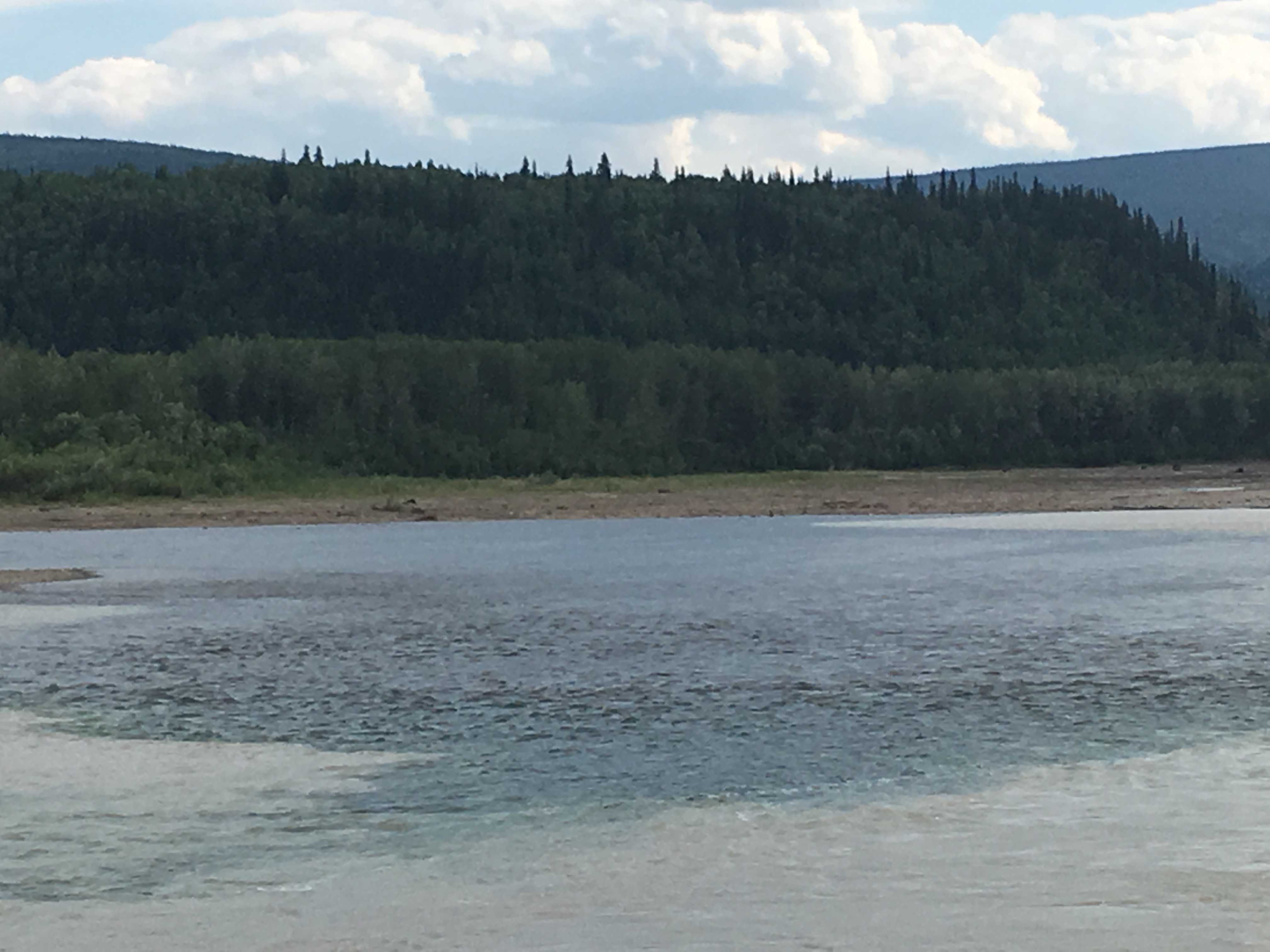
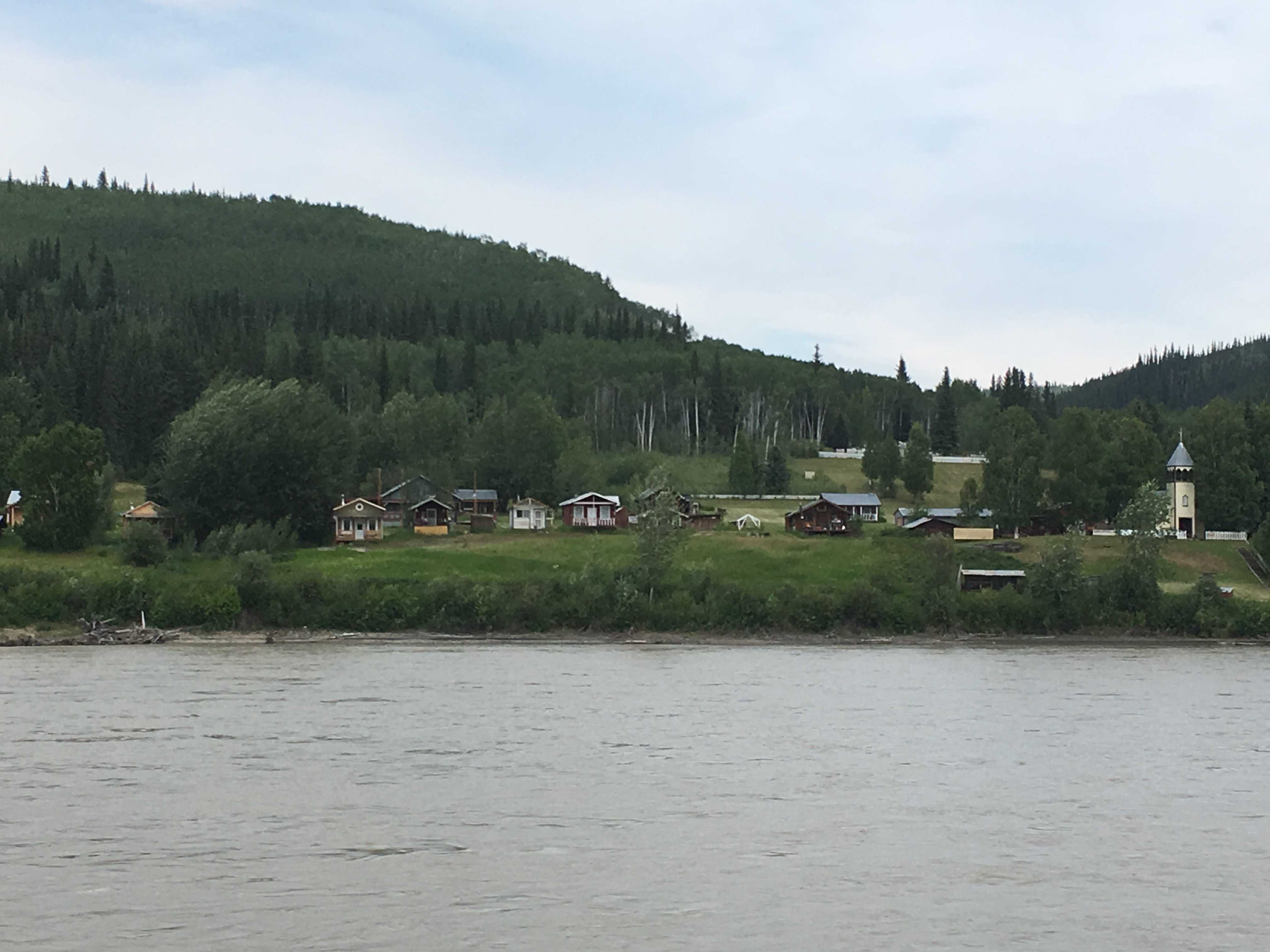 beautiful afternoon to get out on the river and the little boat was pretty nice. The Yukon is a very fast flowing river here and going down river to Moosehide was pretty quick. Moosehide is a very small First Peoples village with no roads leading to it, so anything they need comes by the river. We loitered offshore for about 5 – 10
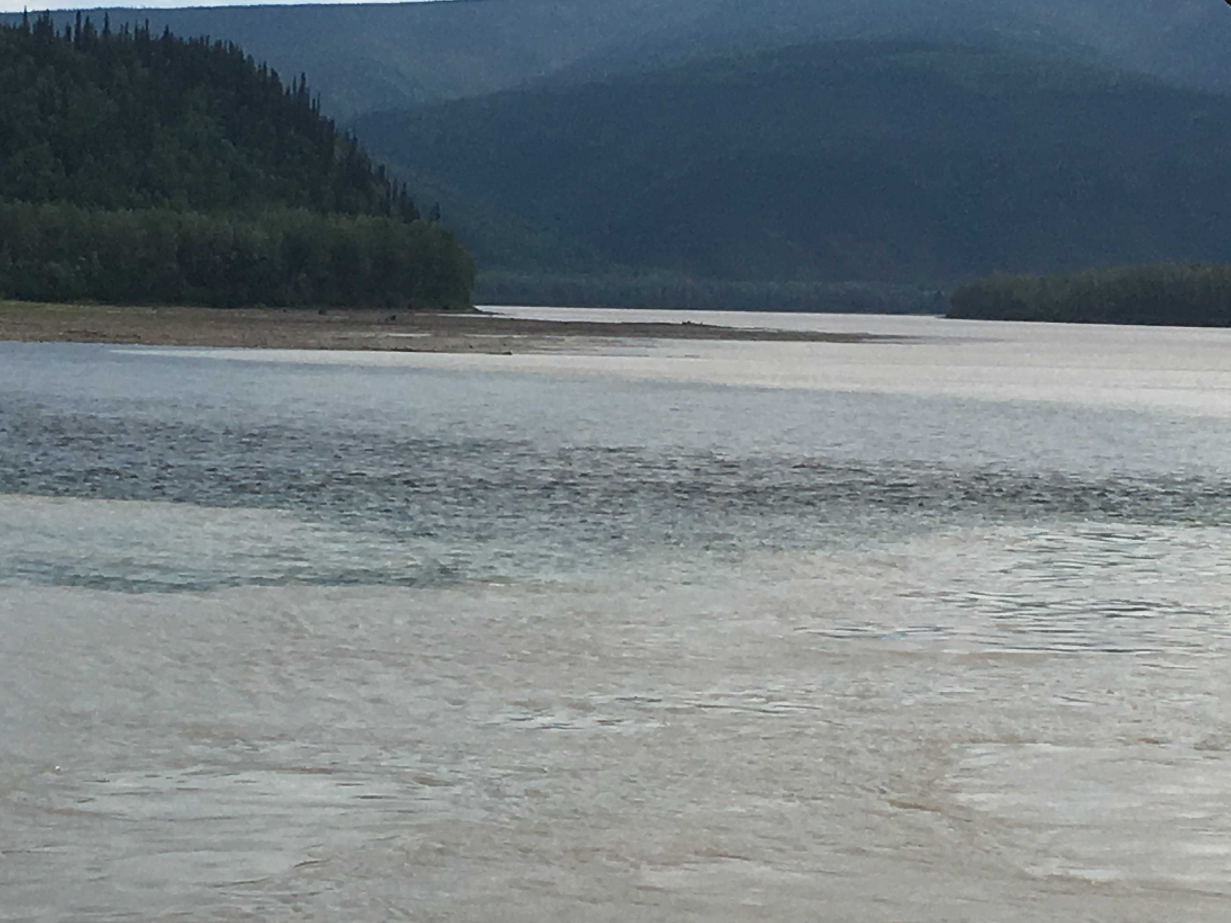
 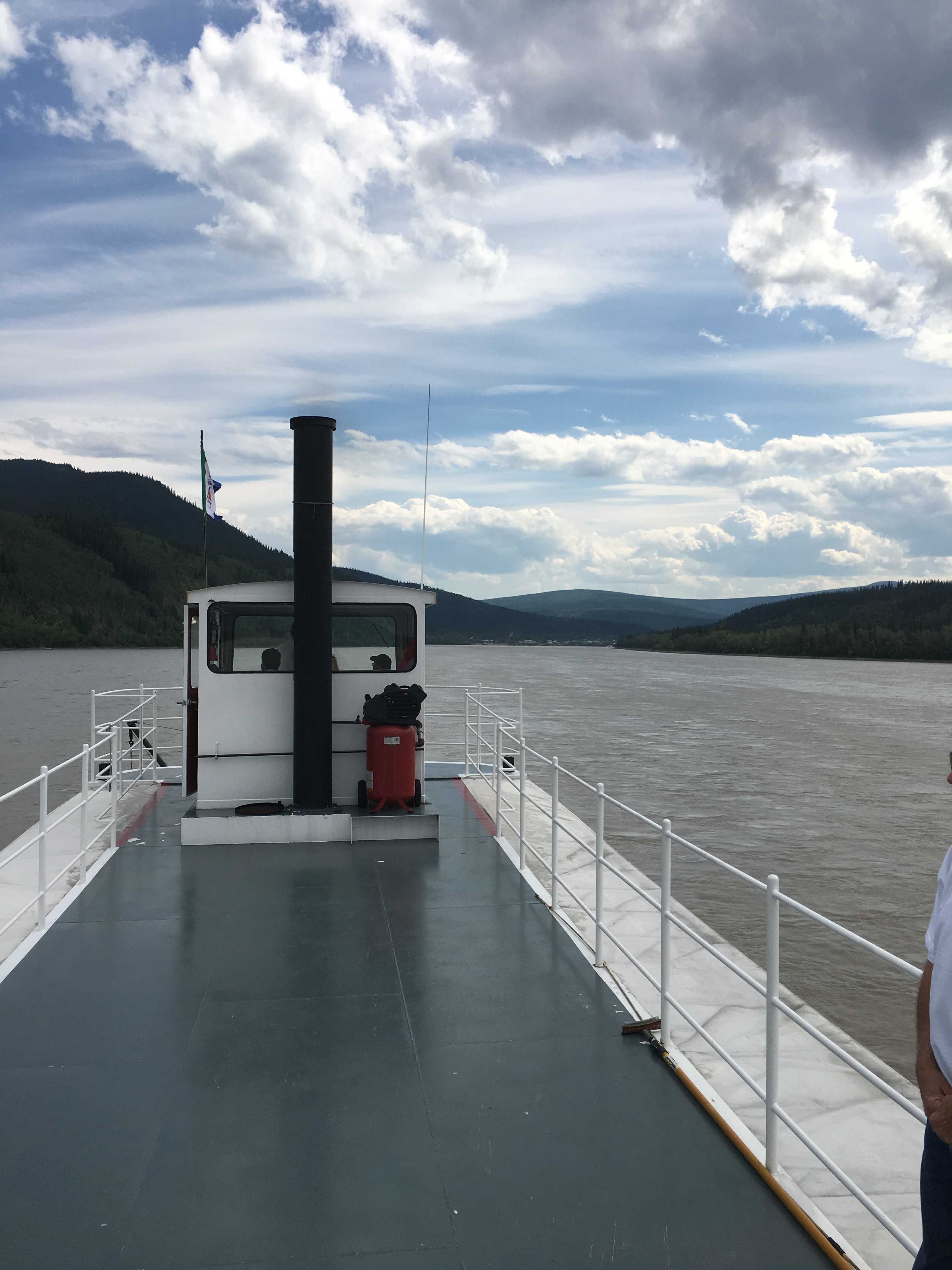 minutes while the tour guide yammered on about how it all came about. Then we started back upstream and that was fairly slow going against the swift current. We motored over to what they call the steamboat graveyard. From the water
 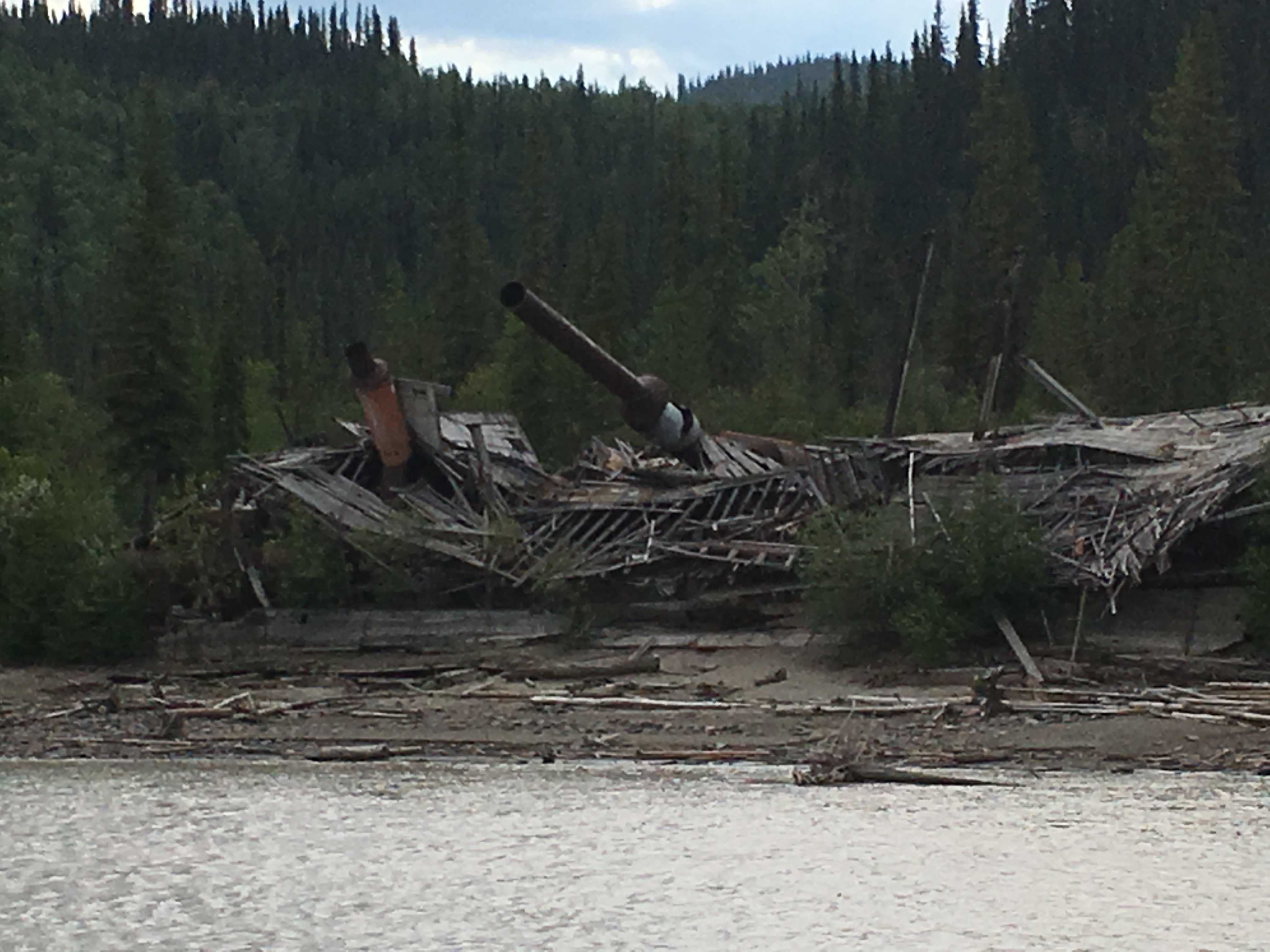 you can only see one ship, but we were told there were a lot more further back in the trees. The ship we could see had definitely seen better days. Apparently it was dry-docked there back in the 50’s once the roads were put in allowing trucks and cars to get to Dawson City.
We rode up past Caveman Bill’s place on the opposite bank (West Dawson) of the river. We couldn’t see much of his abode thru the trees, but were told the man found a cave on the edge of the river about 20 years ago and has lived in it since. If you google him, there are a few articles with pictures. I was expecting to see a 90-year-old guy with a 3-foot beard. That is not him…
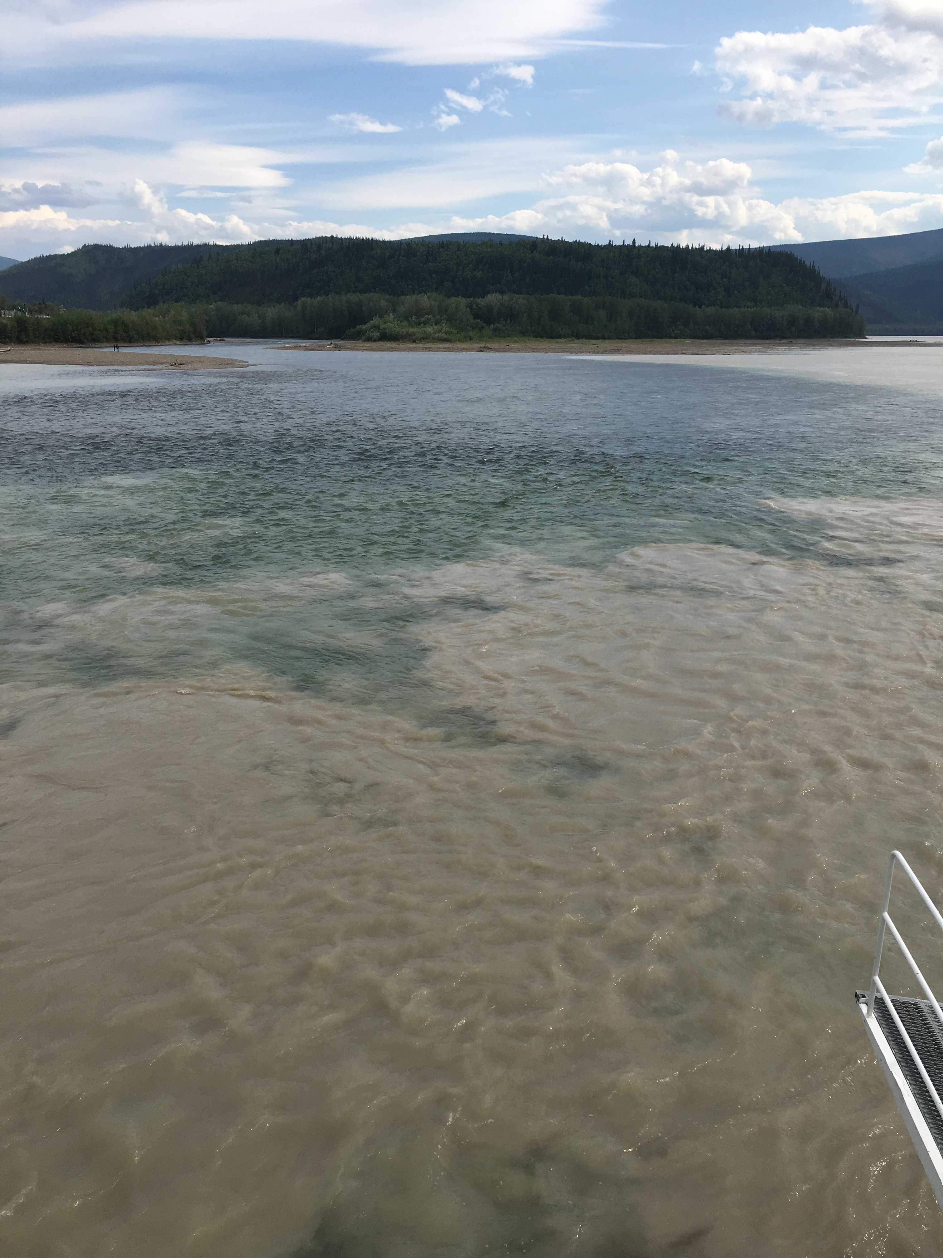
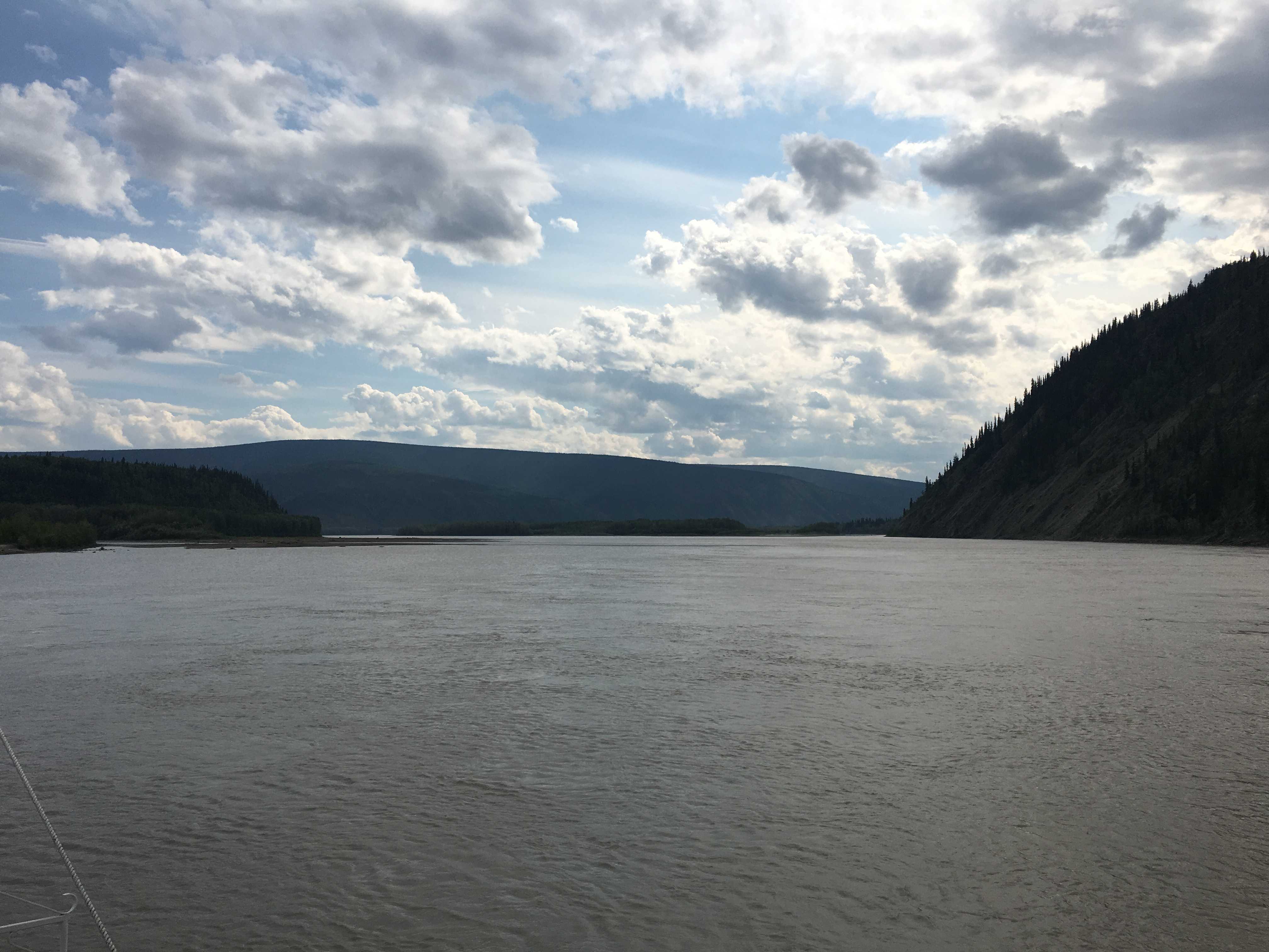
 Once we got further upriver to the confluence, I was awed by how far a finger of clear water jutted into the muddy/silty Yukon River. Hopefully you can see what we saw in the pictures. It looked amazing to the eye.
Luckily this was only a one-and-a- half-hour tour. You know what can happen on a 3-hour tour, Gilligan!