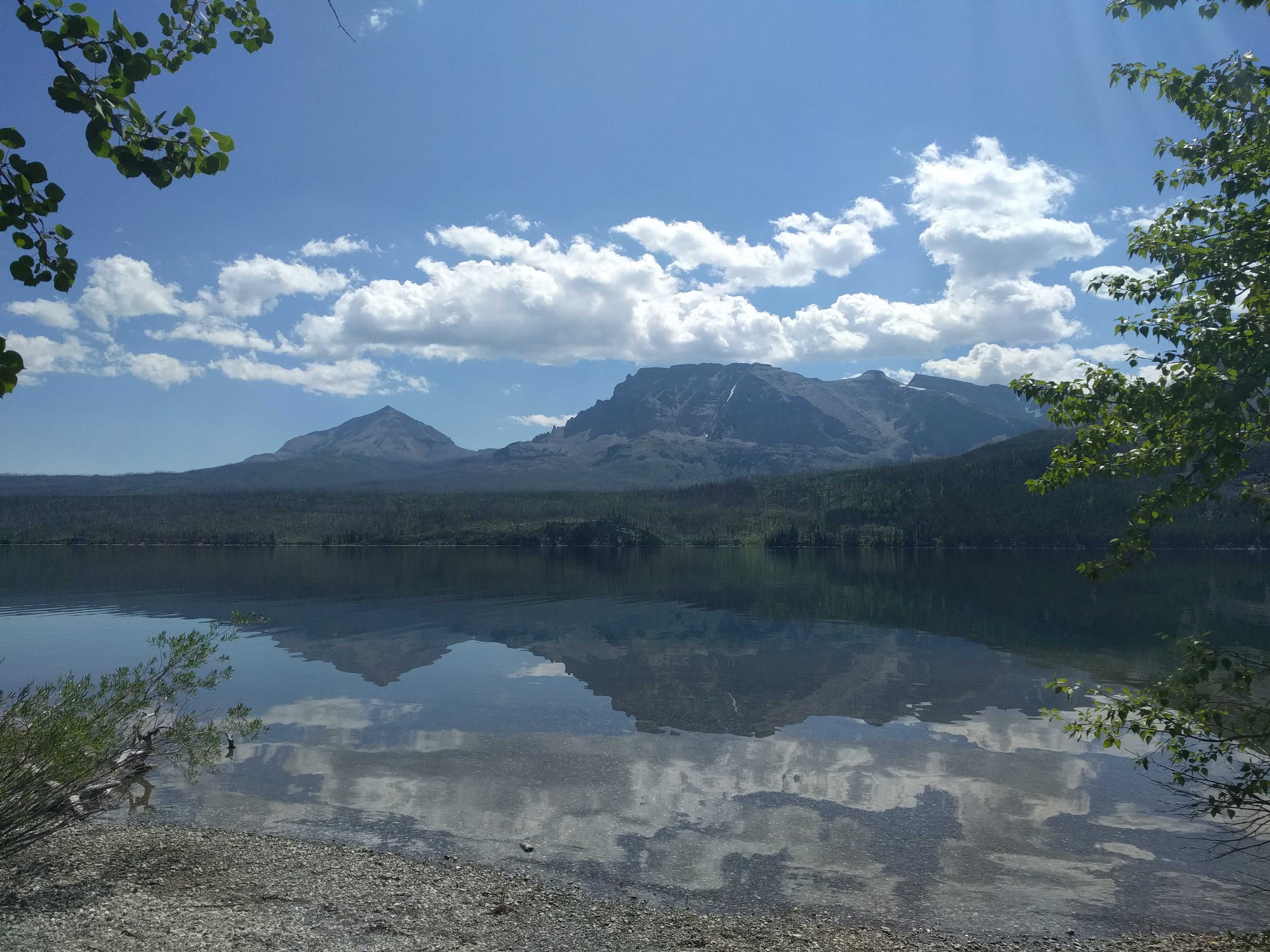
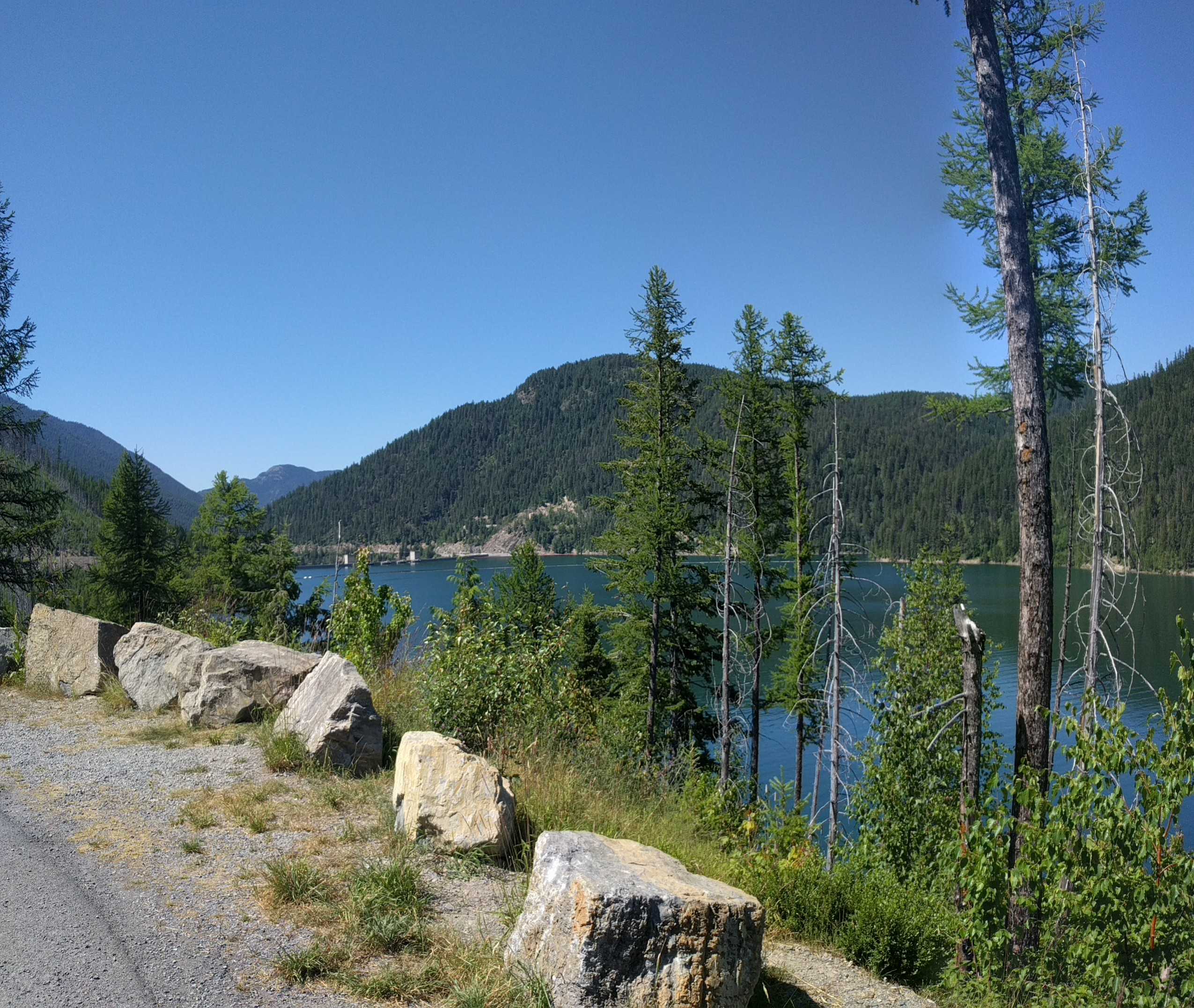
We left Dillon, MT, and headed south on the I-15 freeway till we hit Dubois, Idaho, where we turned right for the long desolate trip over to Arco, Idaho. We passed a lot of nothing for most of the way there; but then coming over a small hill stretching out before us were a lot of green fields, obviously irrigated, in extreme contrast to mostly brown everywhere around it. Eastern Idaho is similar to eastern Washington: basically a desert with some irrigated areas.
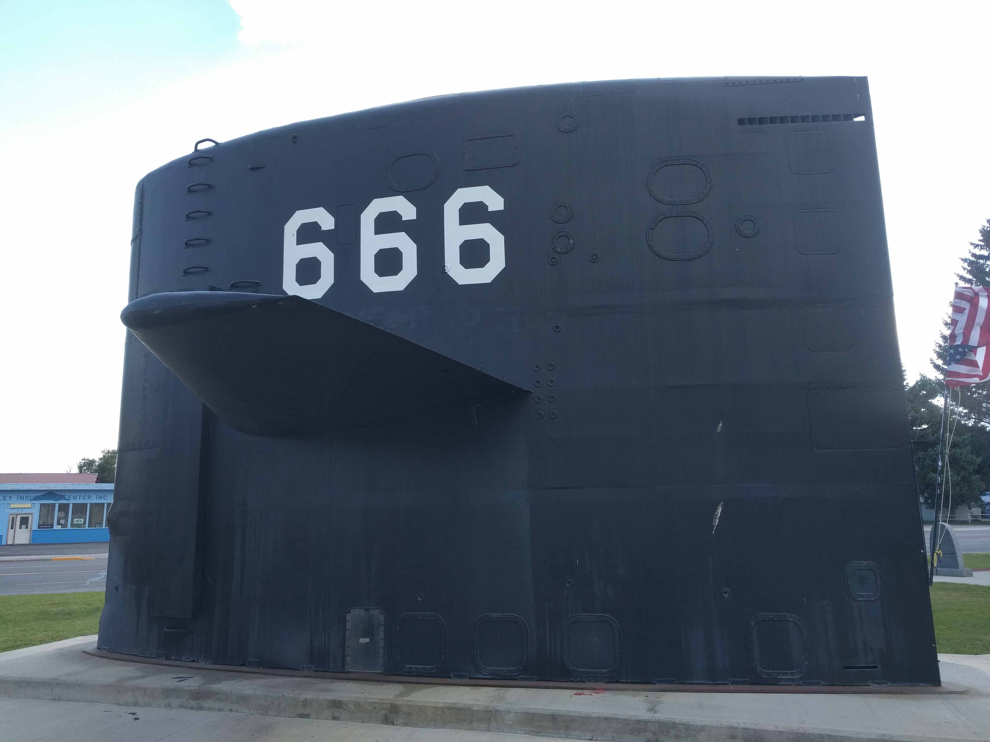
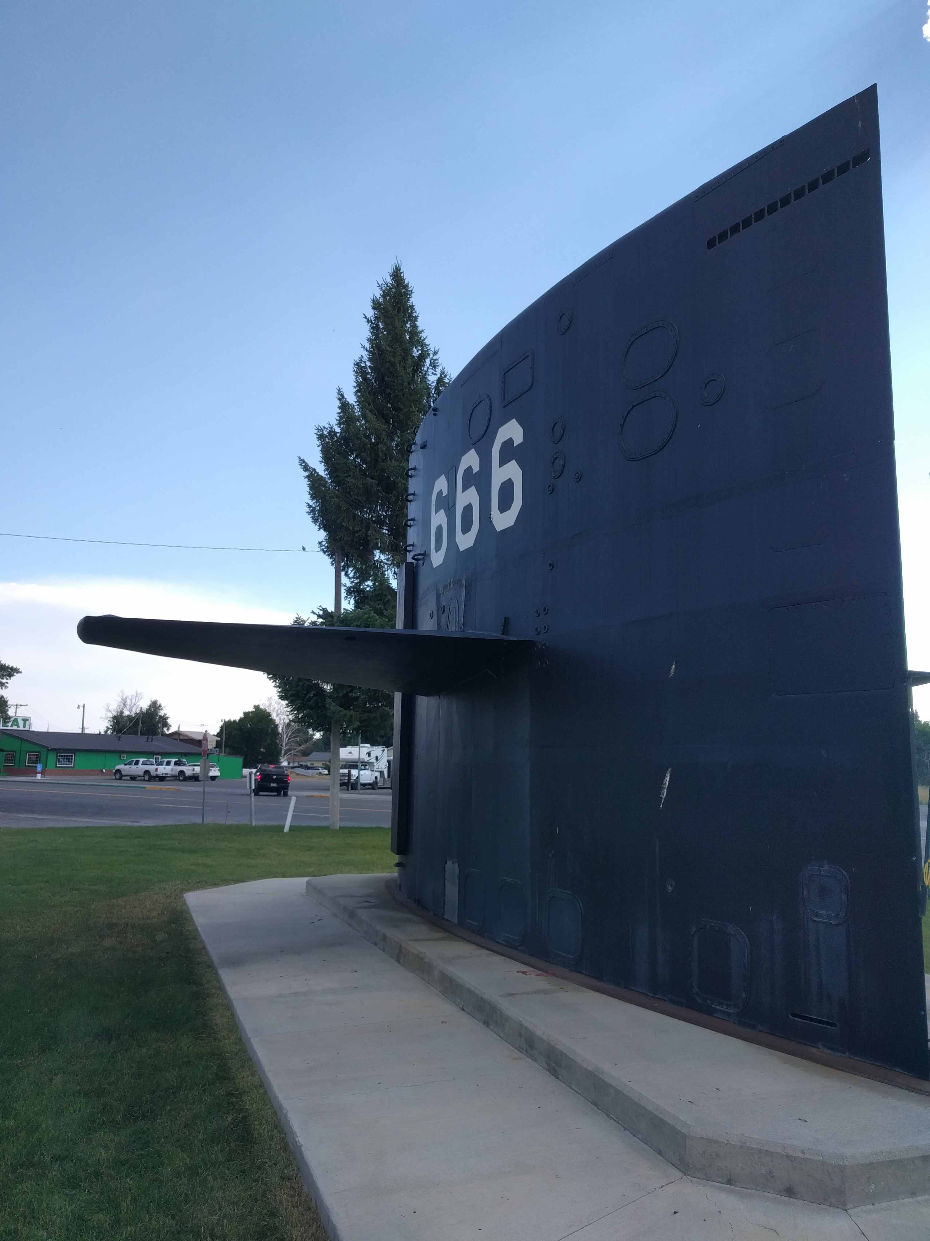
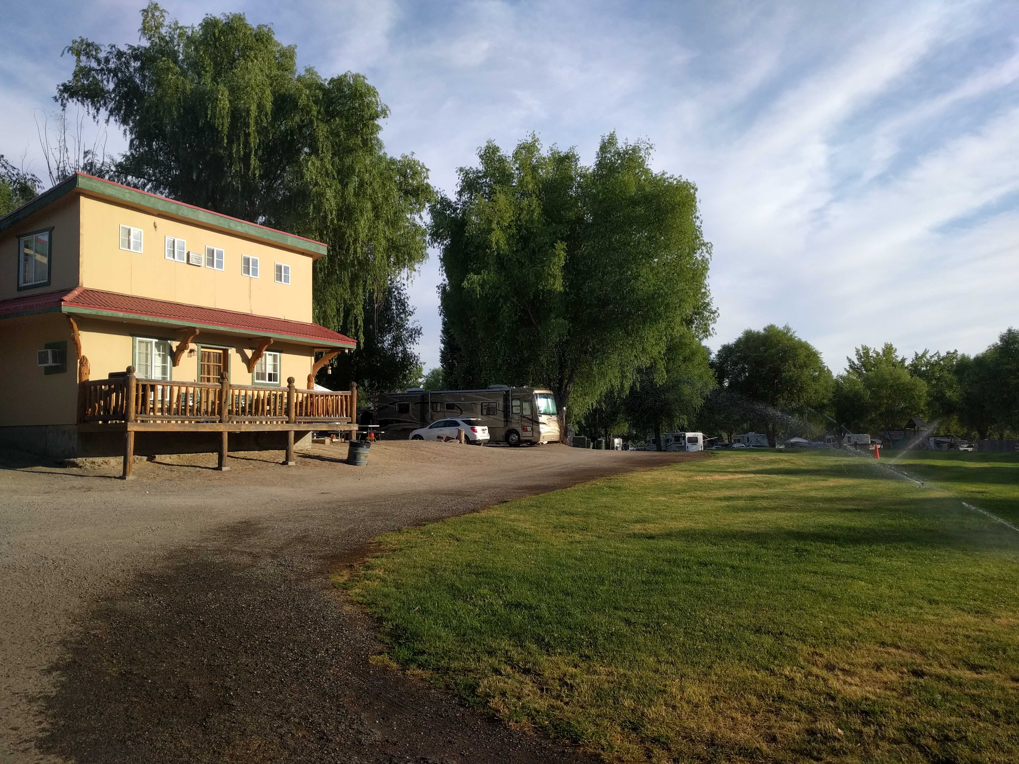
 We got to Arco. and as we drove thru the town, I spotted a conning tower from a nuclear attack submarine with the hull number 666 on it. That was a pretty strange site since we hadn’t seen a drop of water anywhere near there. We drove thru the small town, and on the other side we found our destination, Mountain View RV Park. I went inside to register and it smelled very good in the office. Turns out it’s also a restaurant open for dinner on weekends specializing in smoked baby back ribs.
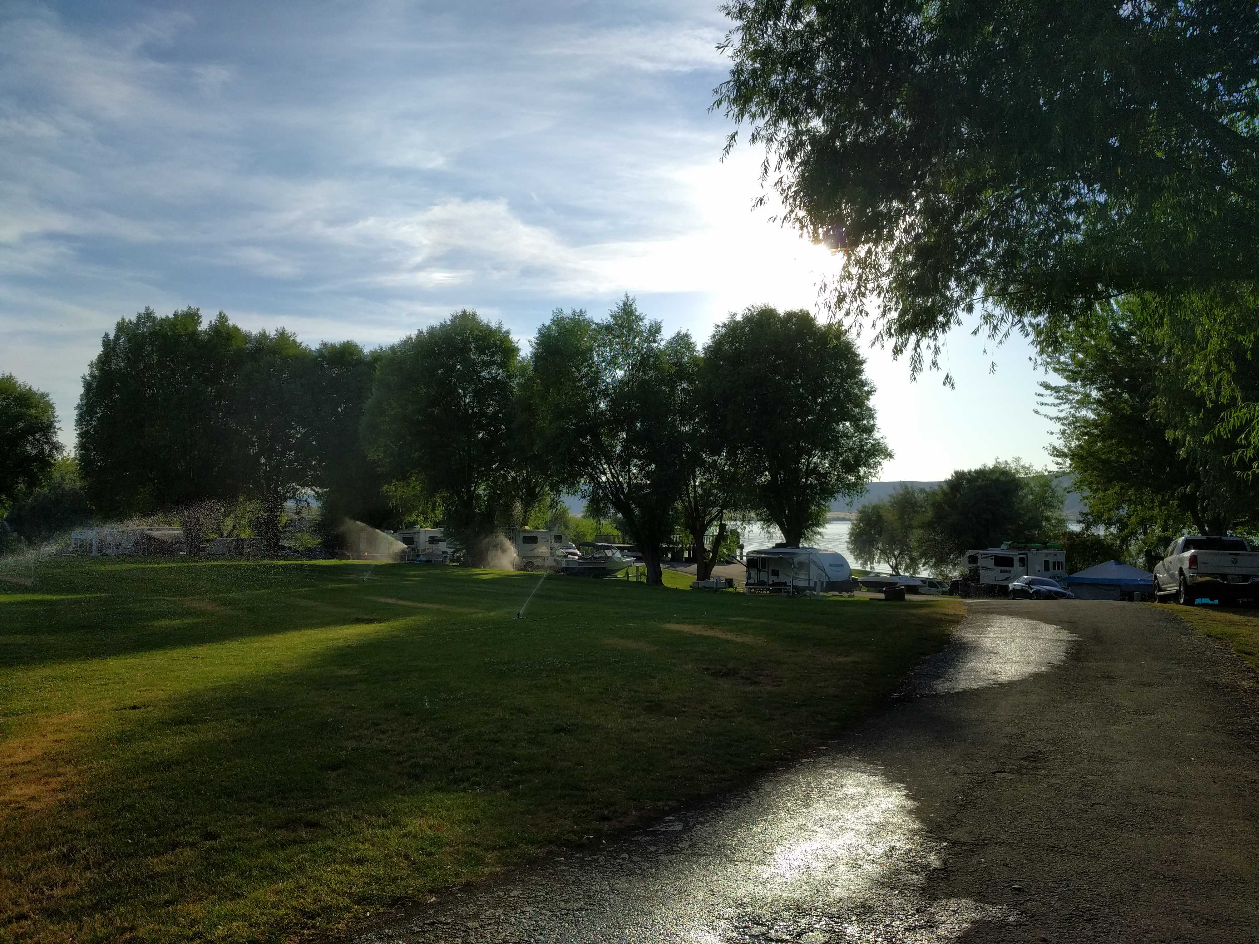
We registered and pulled the coach into our campsite to deploy. It was rather hot in Arco, so the first thing that got hooked up was the 50 amp cable to power both the A/C’s to get the heat under control.
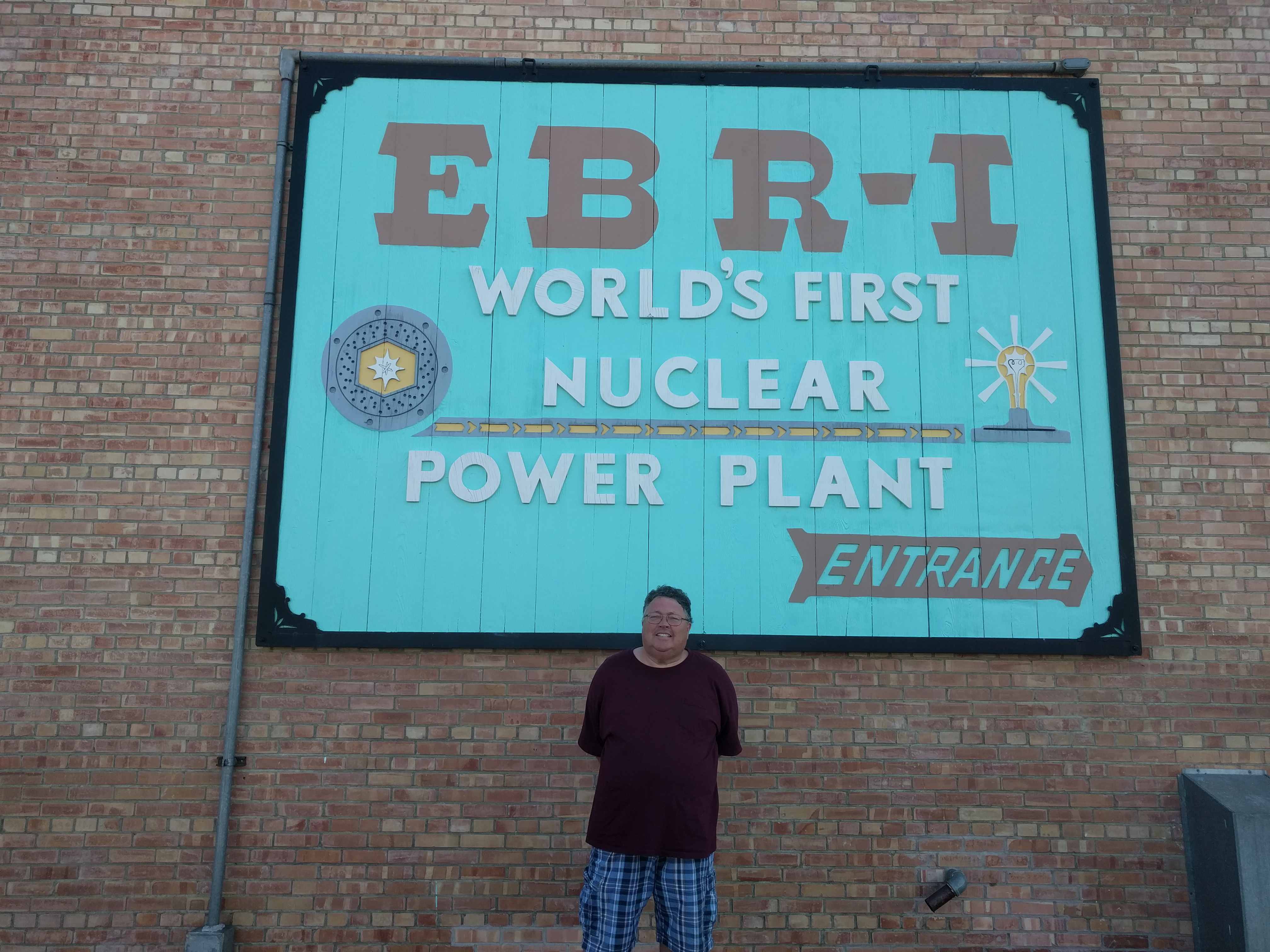
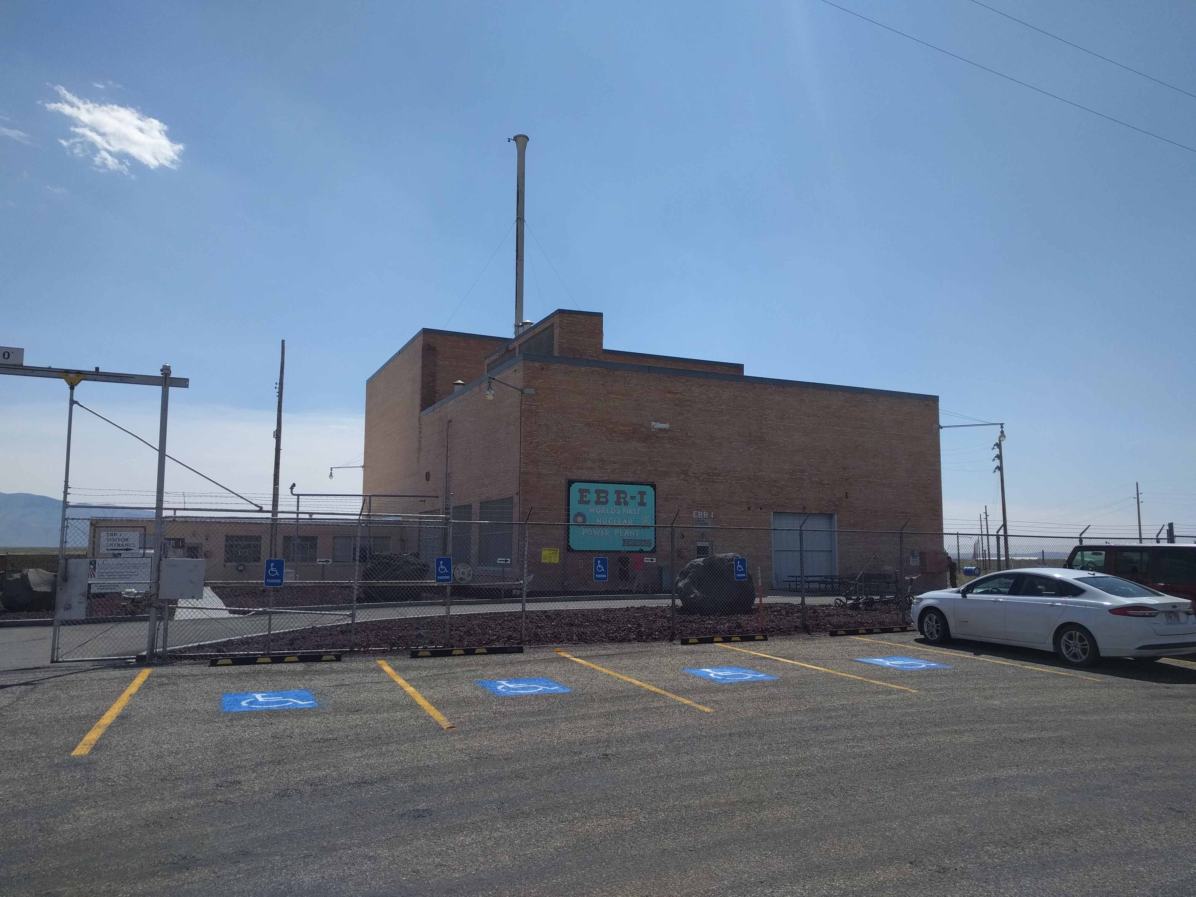
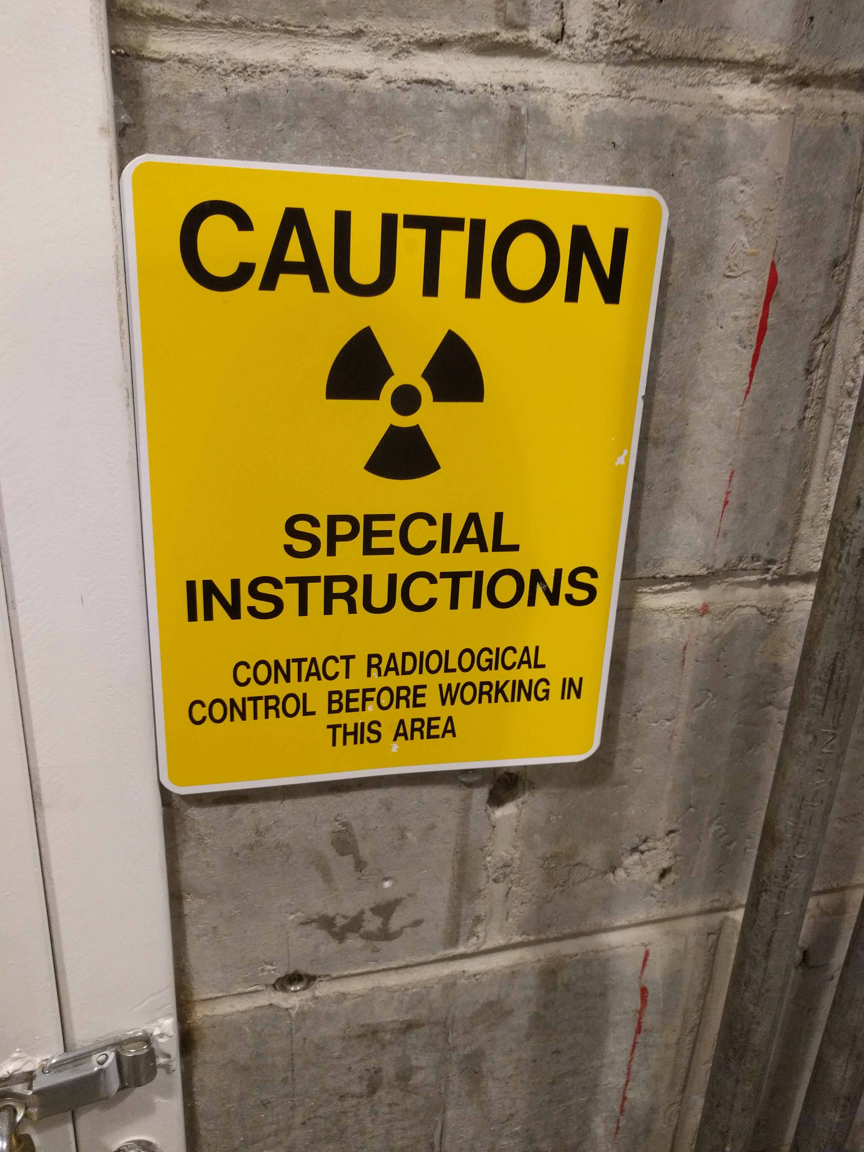
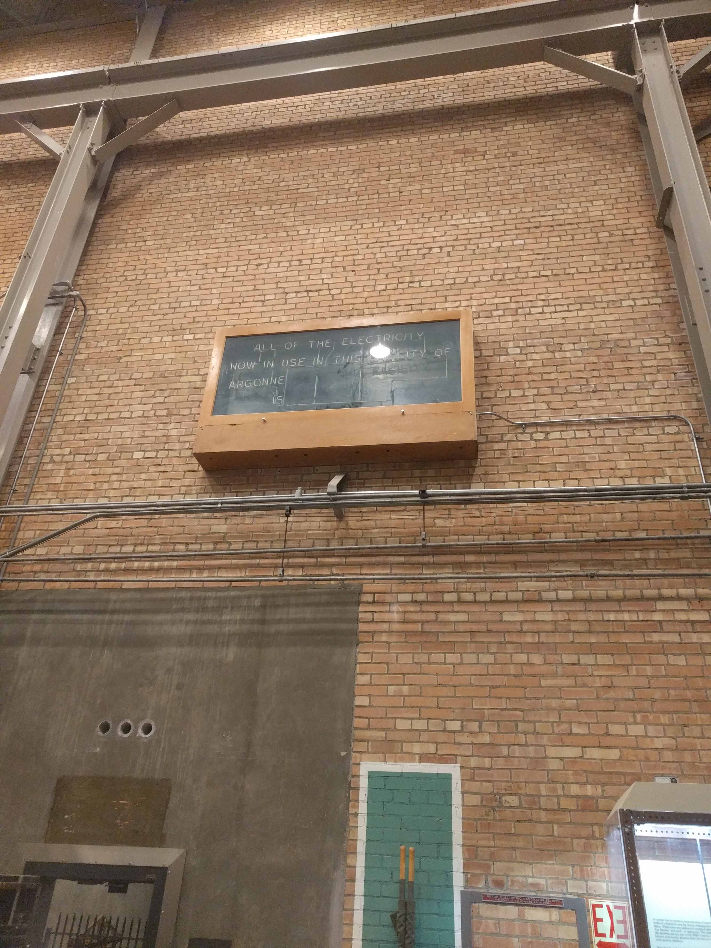
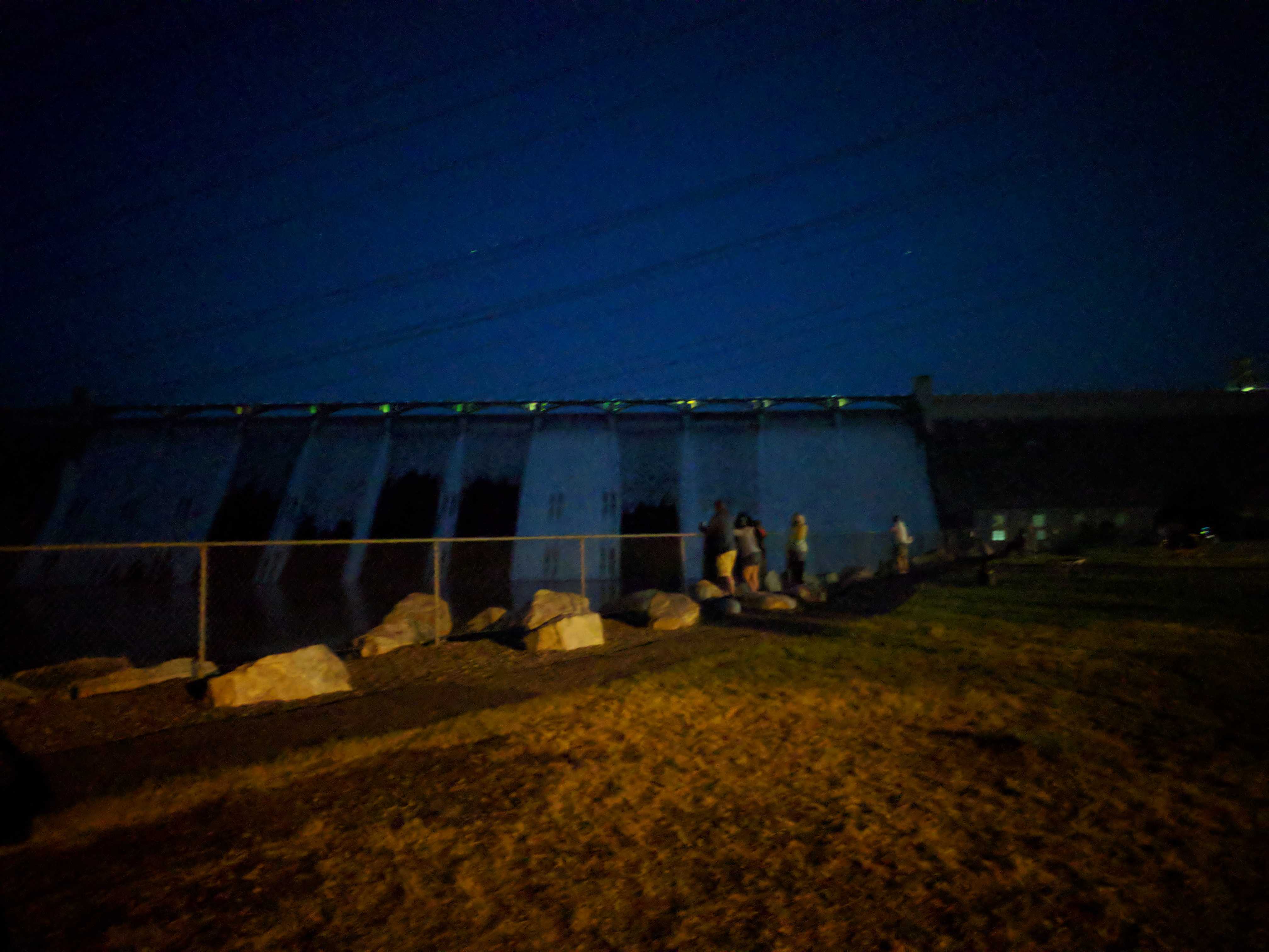
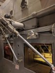
 After we were finished setting up, I mapped a route to EBR-1, the local nuclear reactor/museum 20 miles east of the town that was built around 1949-1951. Harry Truman, the sitting president was there for its dedication. It was the first reactor
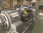
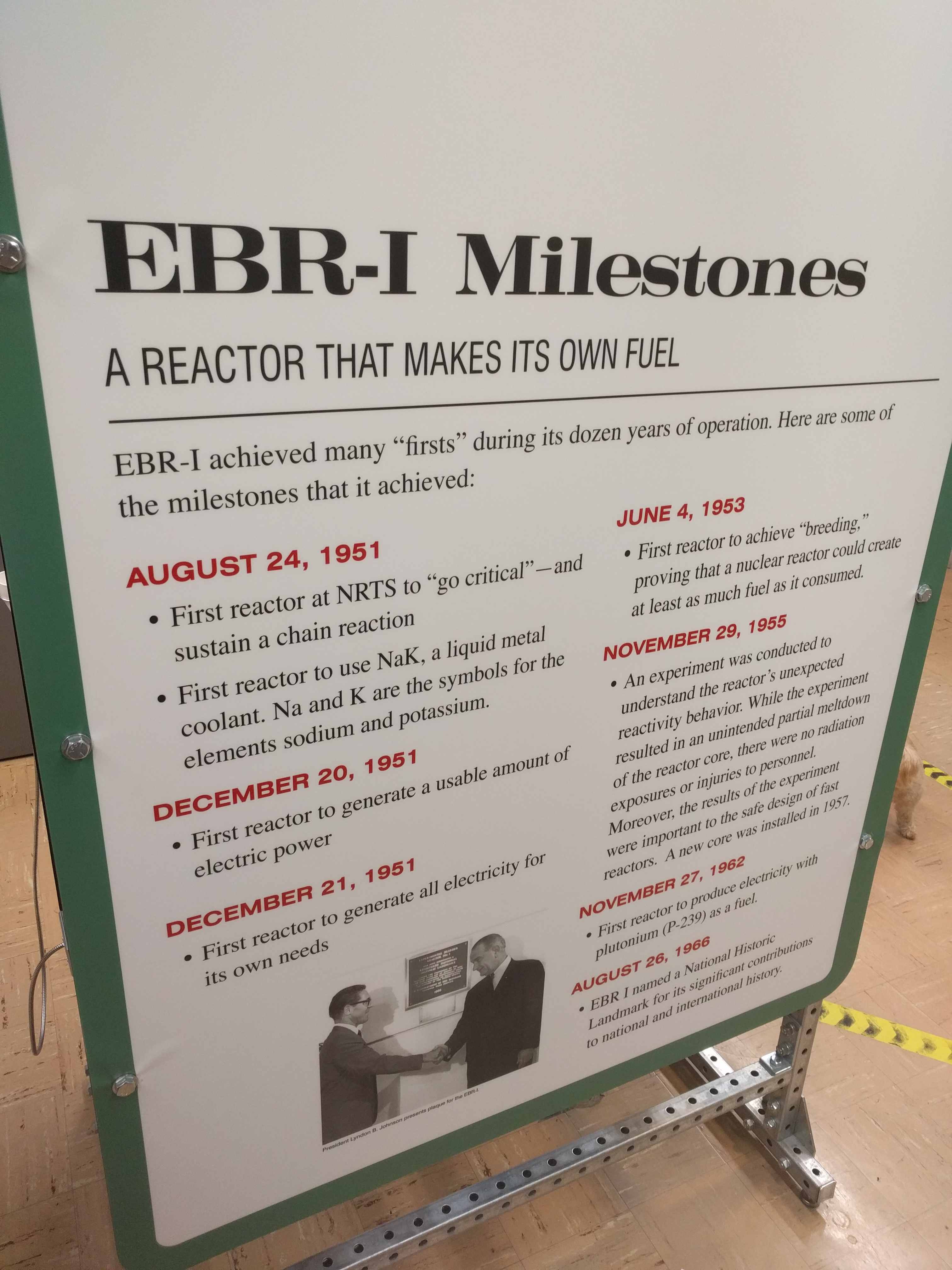
  built to generate electricity. It was successful and generated about 300 KW. It used what I thought was an odd system to keep the reactor cool, liquid metal, not water. basically sodium and potassium that was pumped around by magnetic pumps mounted on the outside of the pipes which seemed ingenious. If they broke you didn’t need to dissemble the piping to fix them.
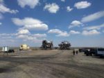
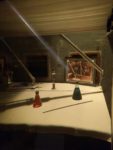
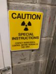
 We followed the signs to a single building way off in the distance with nothing else to be seen in the surrounding area. As we drove up, there was an ambulance and fire truck. Not the best sign when arriving. The firemen were just hanging around talking to the young women working there, from what I could tell. Probably not much to do out here for them unless there is a fire, which didn’t seem to be a problem this day.
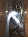
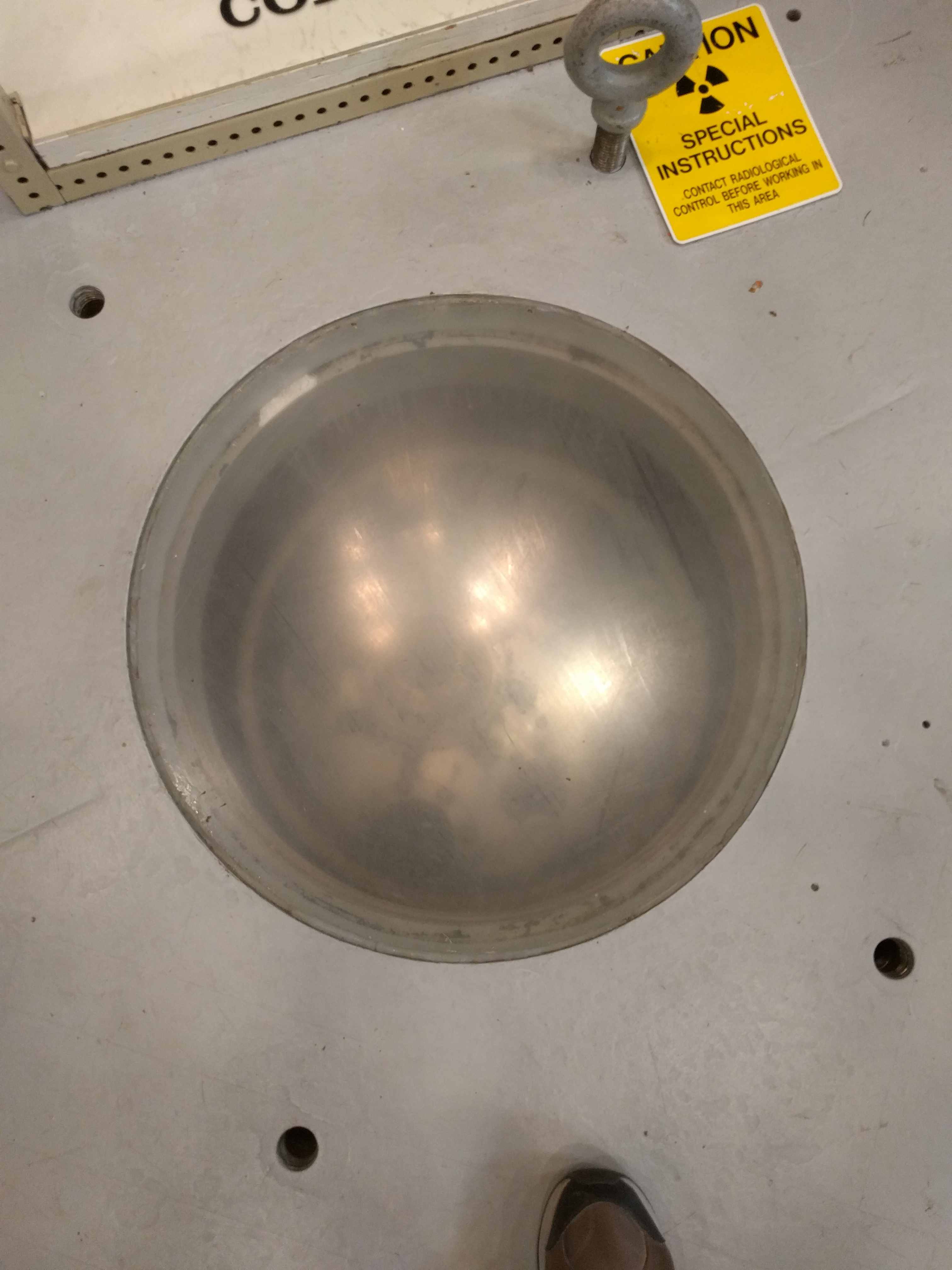
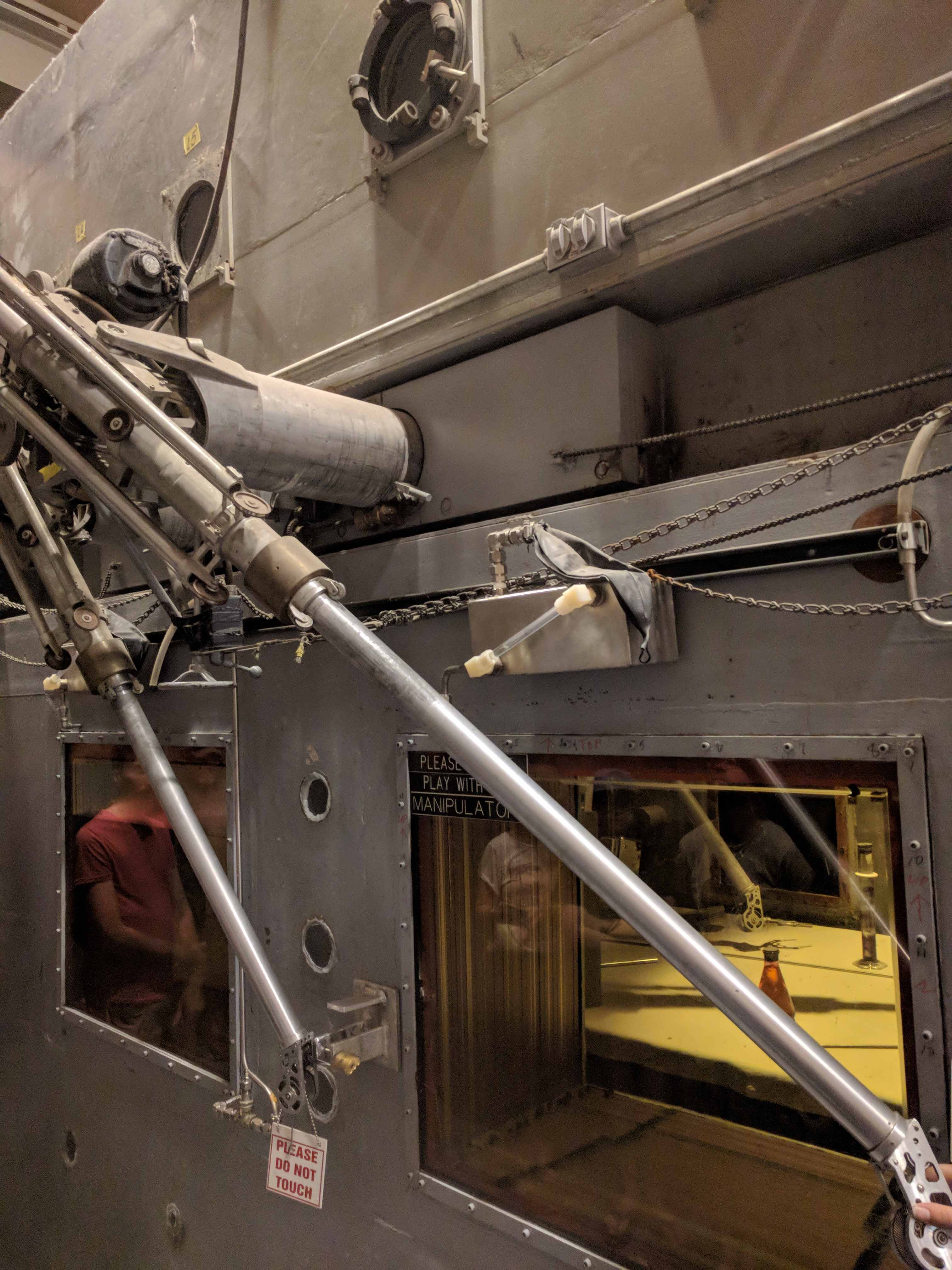
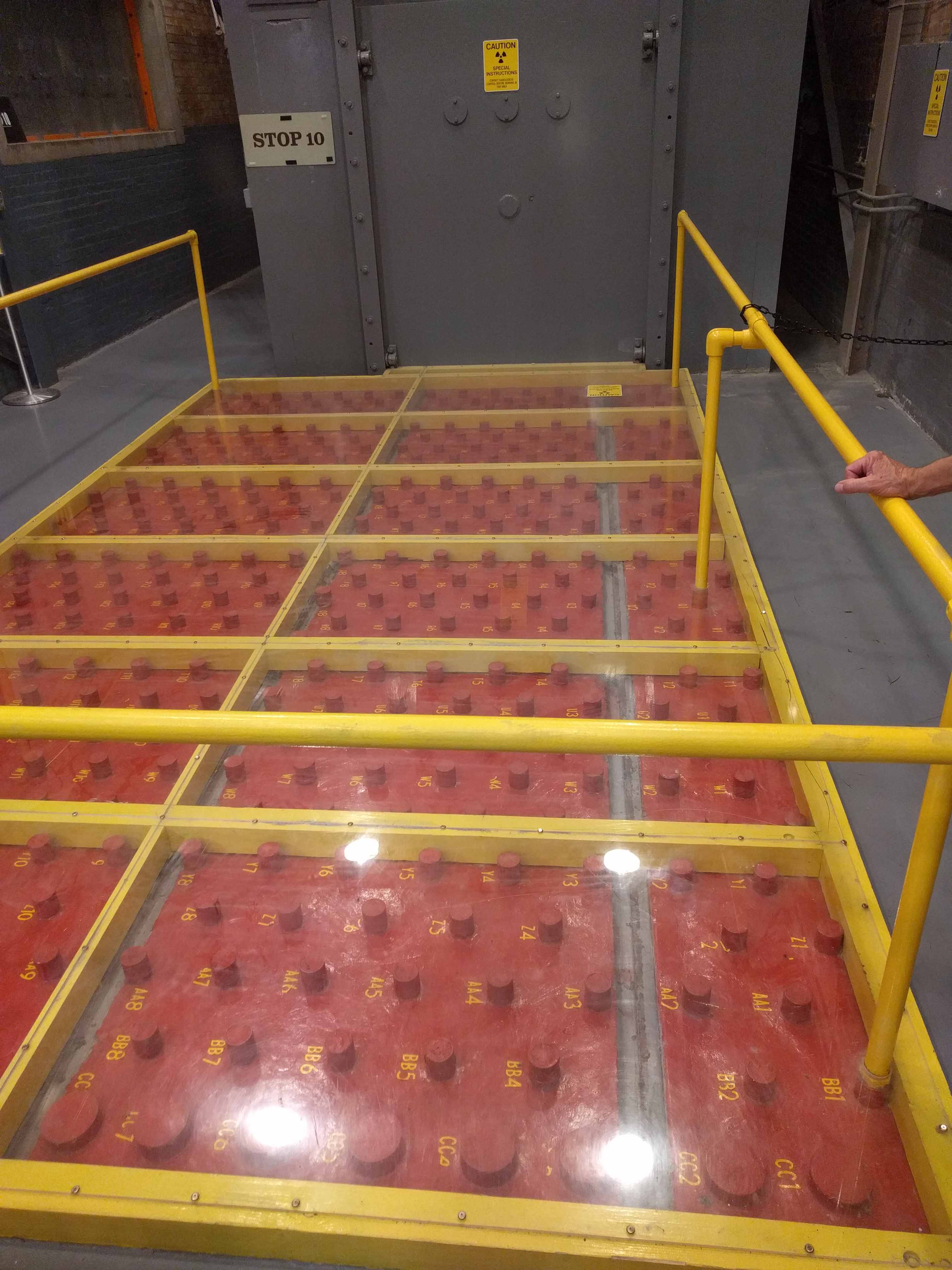
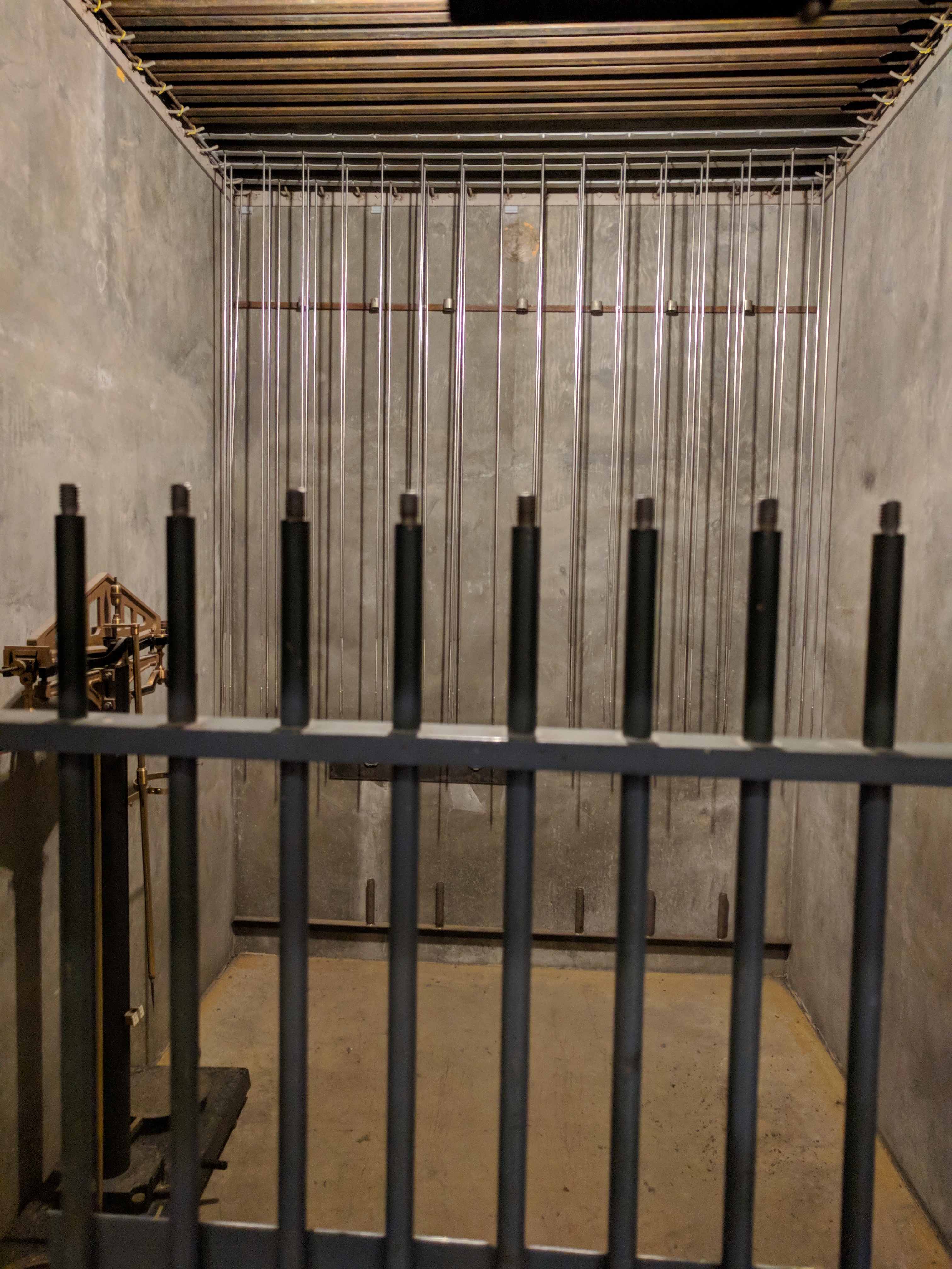
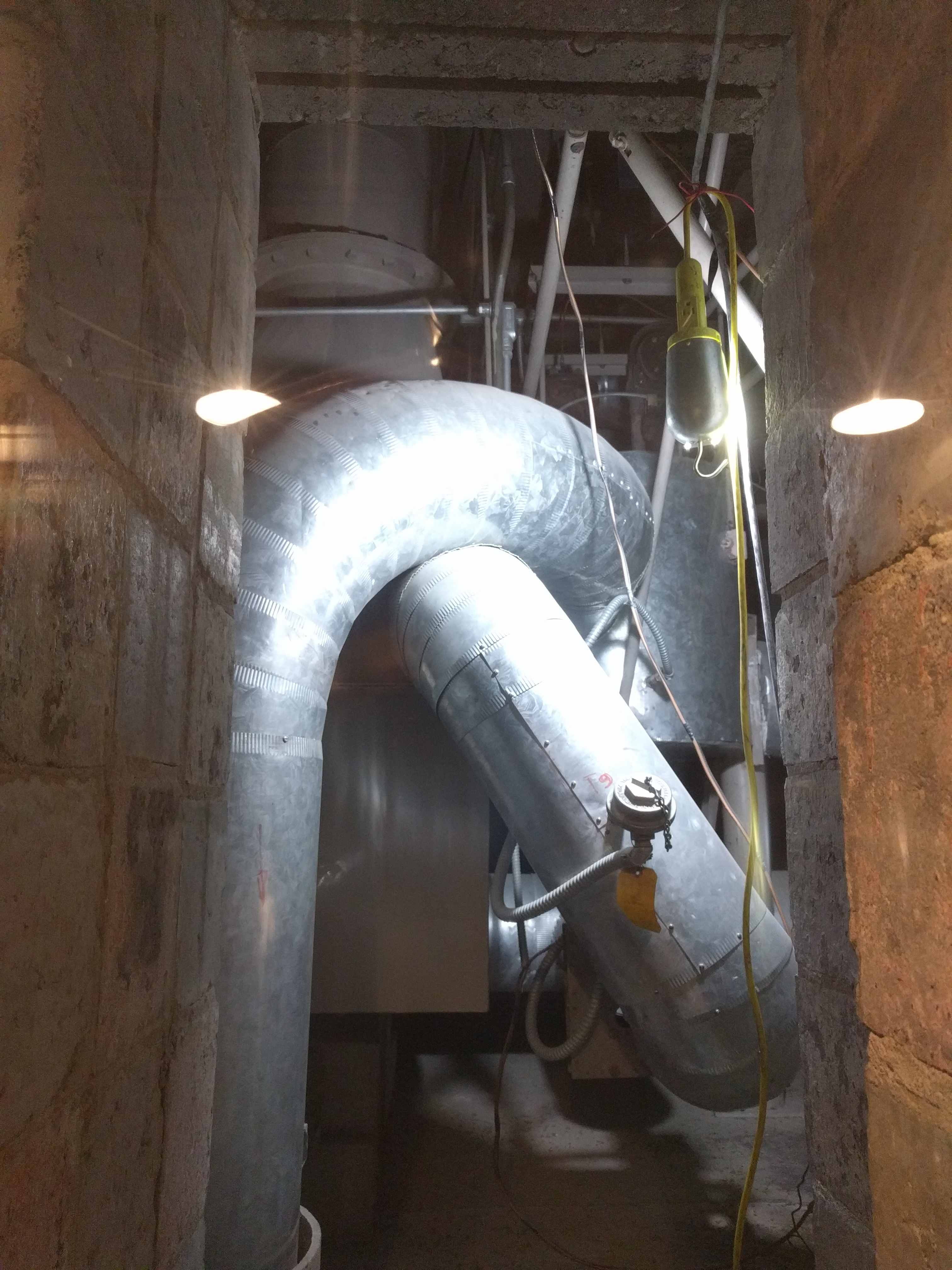
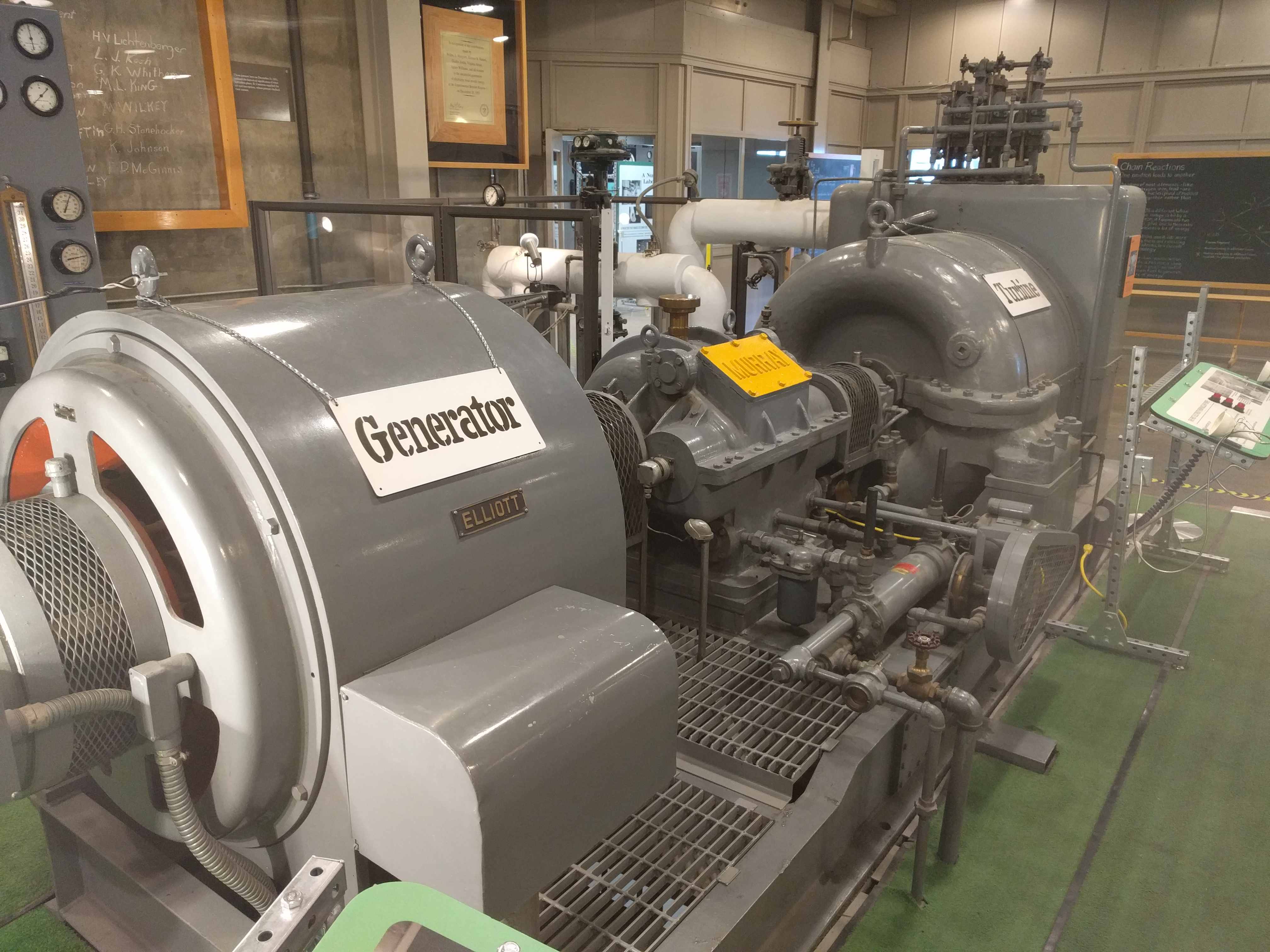
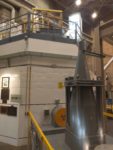
 We just happened to get there as a reactor tour was about to start. It was very
 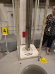 fascinating to see a decommissioned nuclear power plant up close and personal like this. Standing on top of the reactor vessel and looking down inside, it is filled with concrete now. Something I learned while there was this was also a breeder reactor, it made plutonium too. They used that plutonium in another reactor designed to run from plutonium to make power. If you are ever in the area, you must stop and take a tour. They are free and well worth the time to drive a bit out of your way to see it.

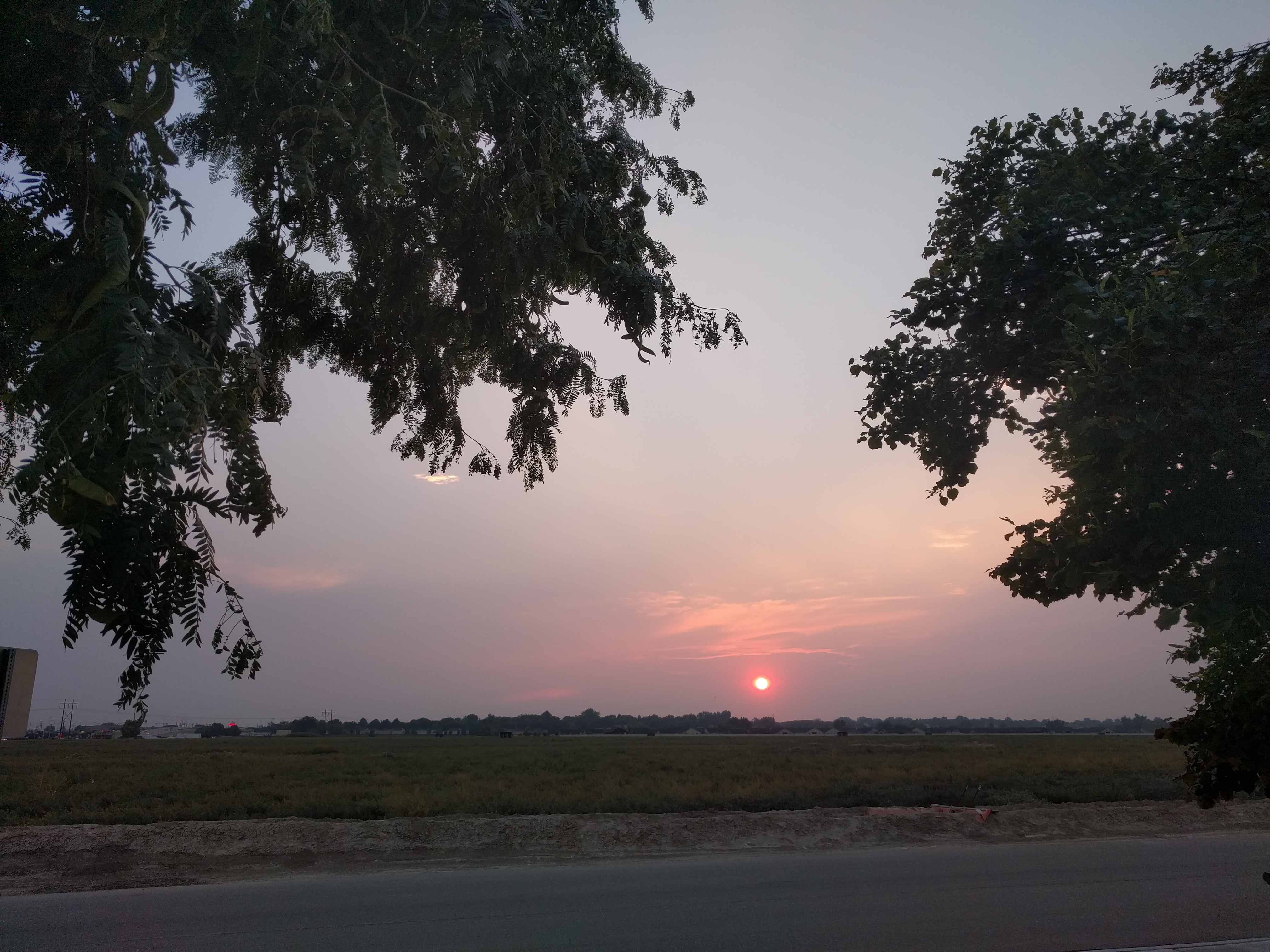
 The next morning there was smoke in the air. We got an early start to visit the Craters of the Moon National Monument as it was supposed to be very hot again today. The park was about 20 miles west of town. As we drove out of the campground, we were wondering where all the smoke in the air was coming from. Kathy was told it was coming from the fires in Northern California by a ranger at the visitor center, but I thought it was more likely coming from the large fires a bit north of Boise, as they were due west and much, much closer.
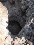
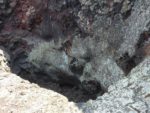
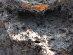
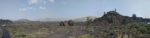
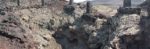
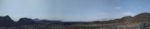
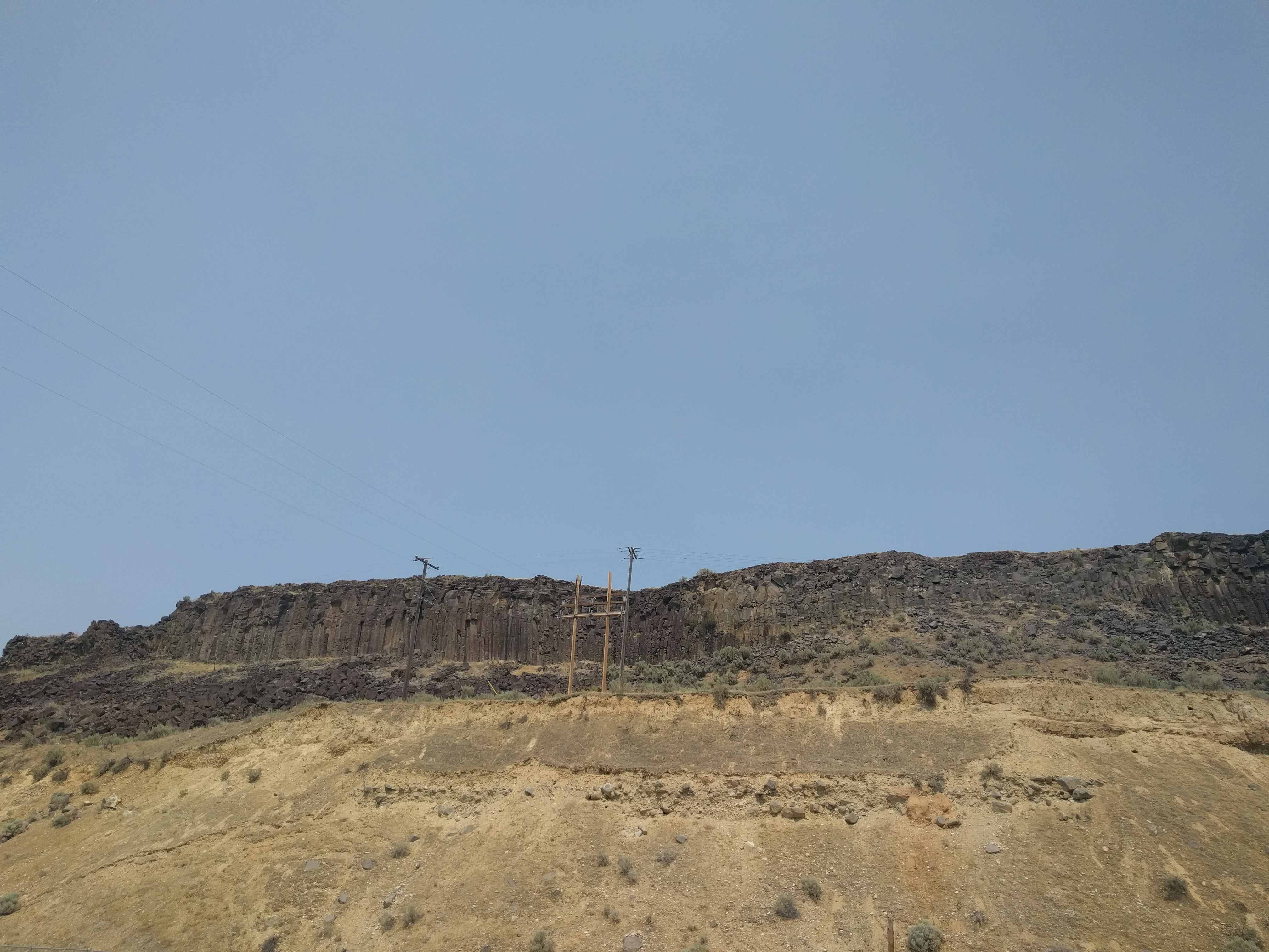
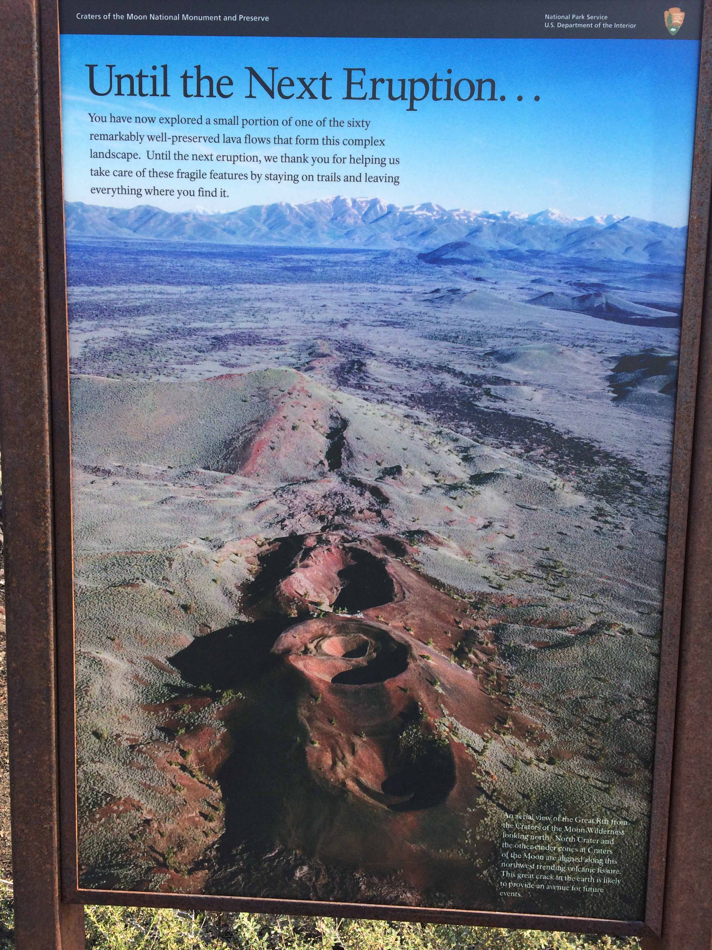
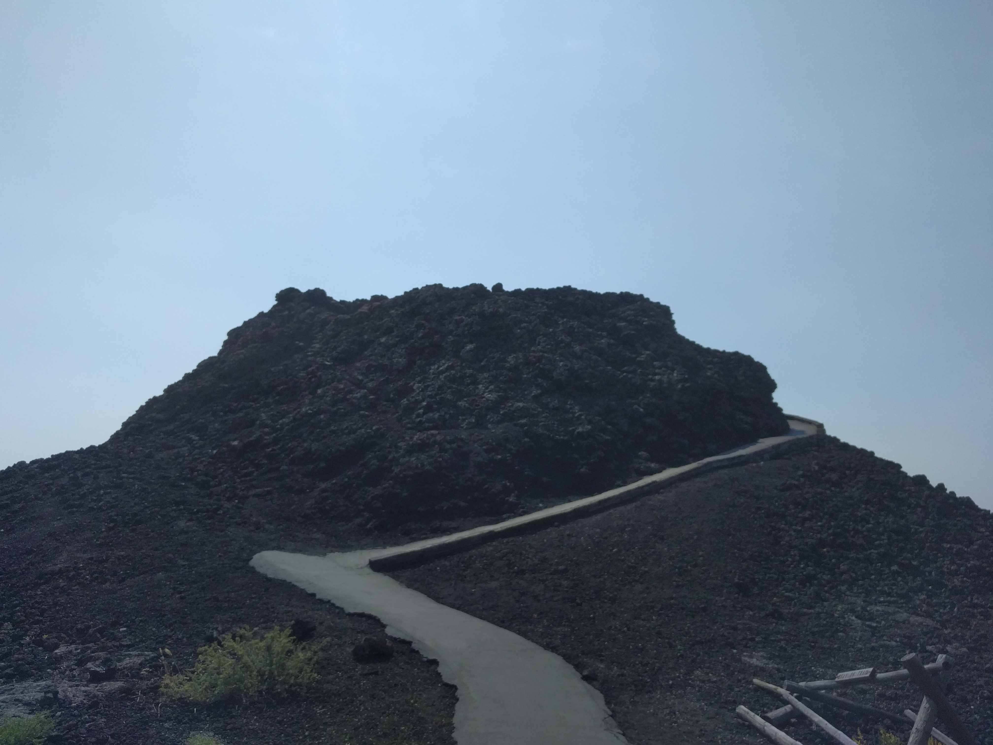
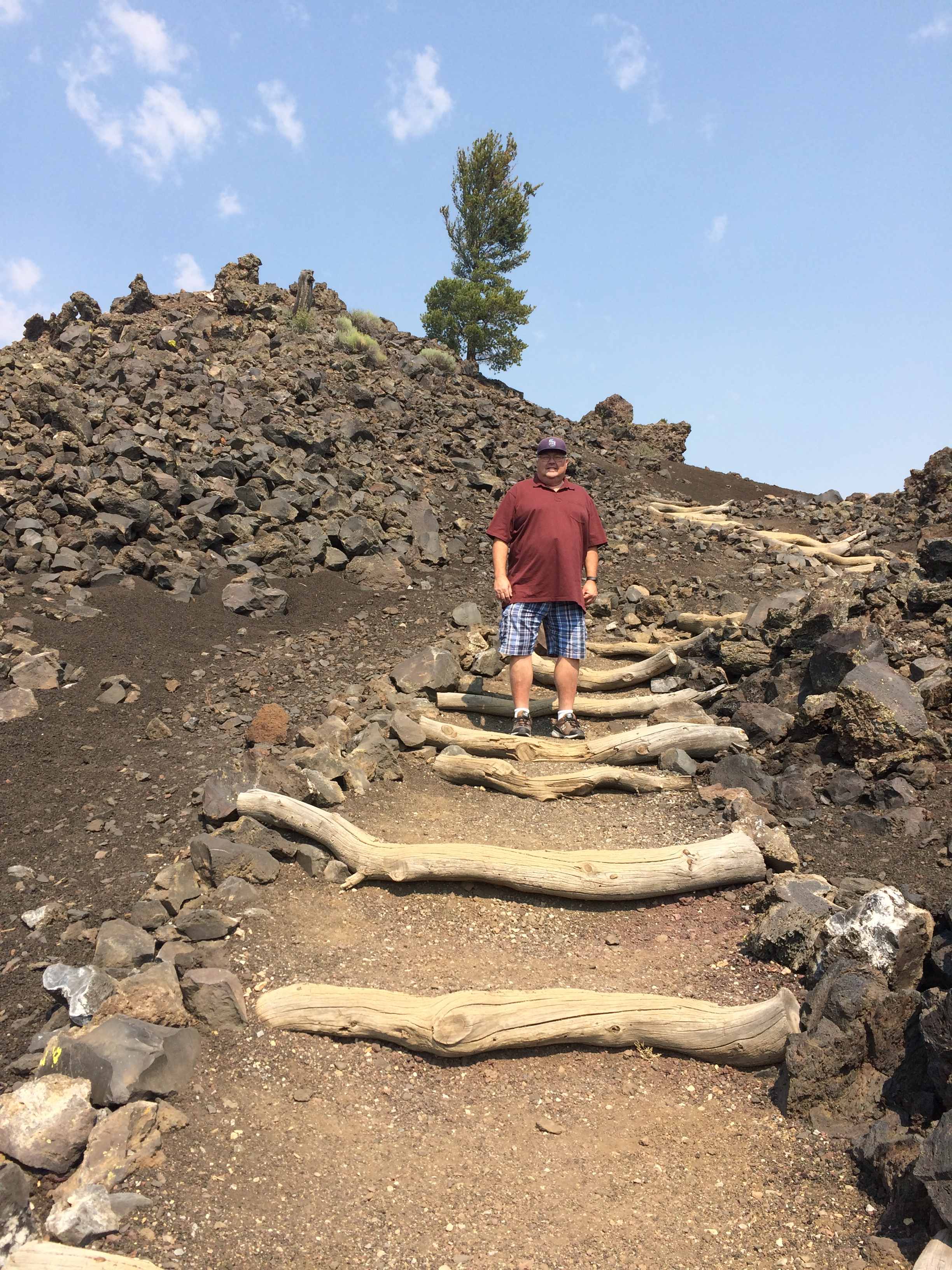
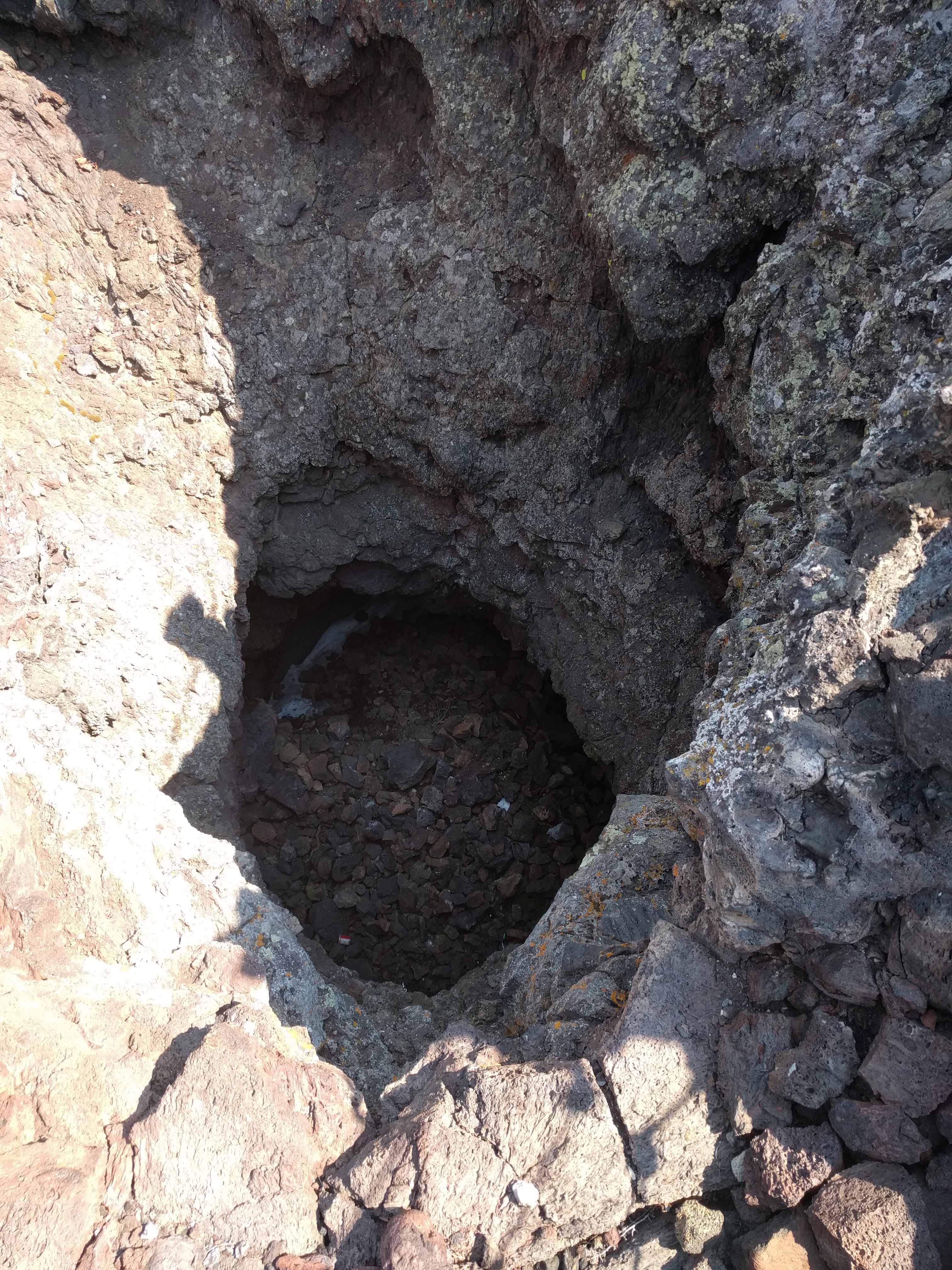
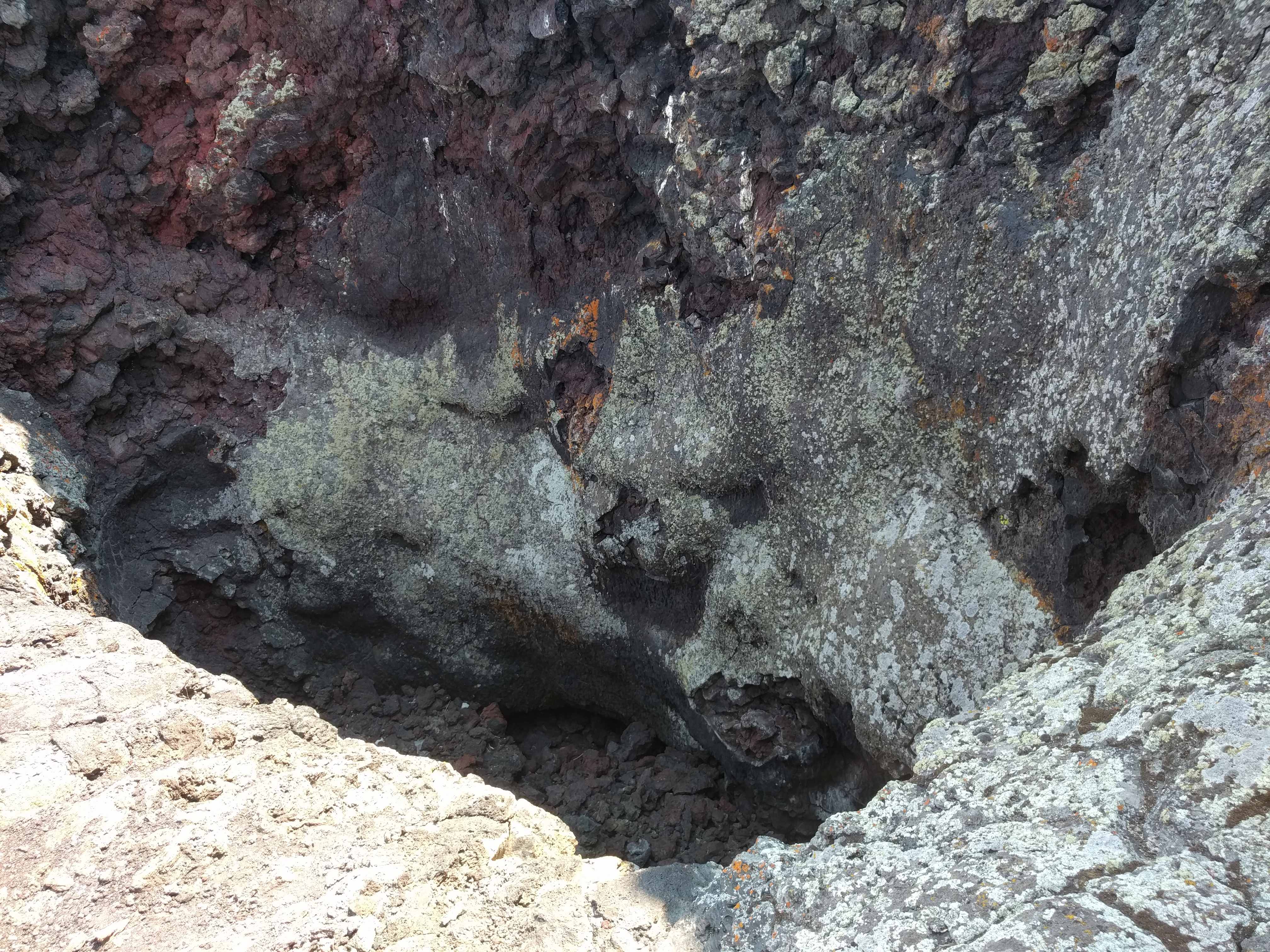
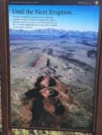
 We drove into the park and picked up a map. It was another $20 saved by the park pass we bought last year for $10. All the roads inside this park were newly paved and in excellent shape. Pretty much a first for that. The area you can drive is a short loop, about 7 miles, and the overlooks were pretty cool, but you have to remember this is an ancient lava field. Nothing has happened here in many millennia. We took lots of pictures, but for all intents and purposes, it was a bit underwhelming to me.
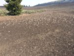
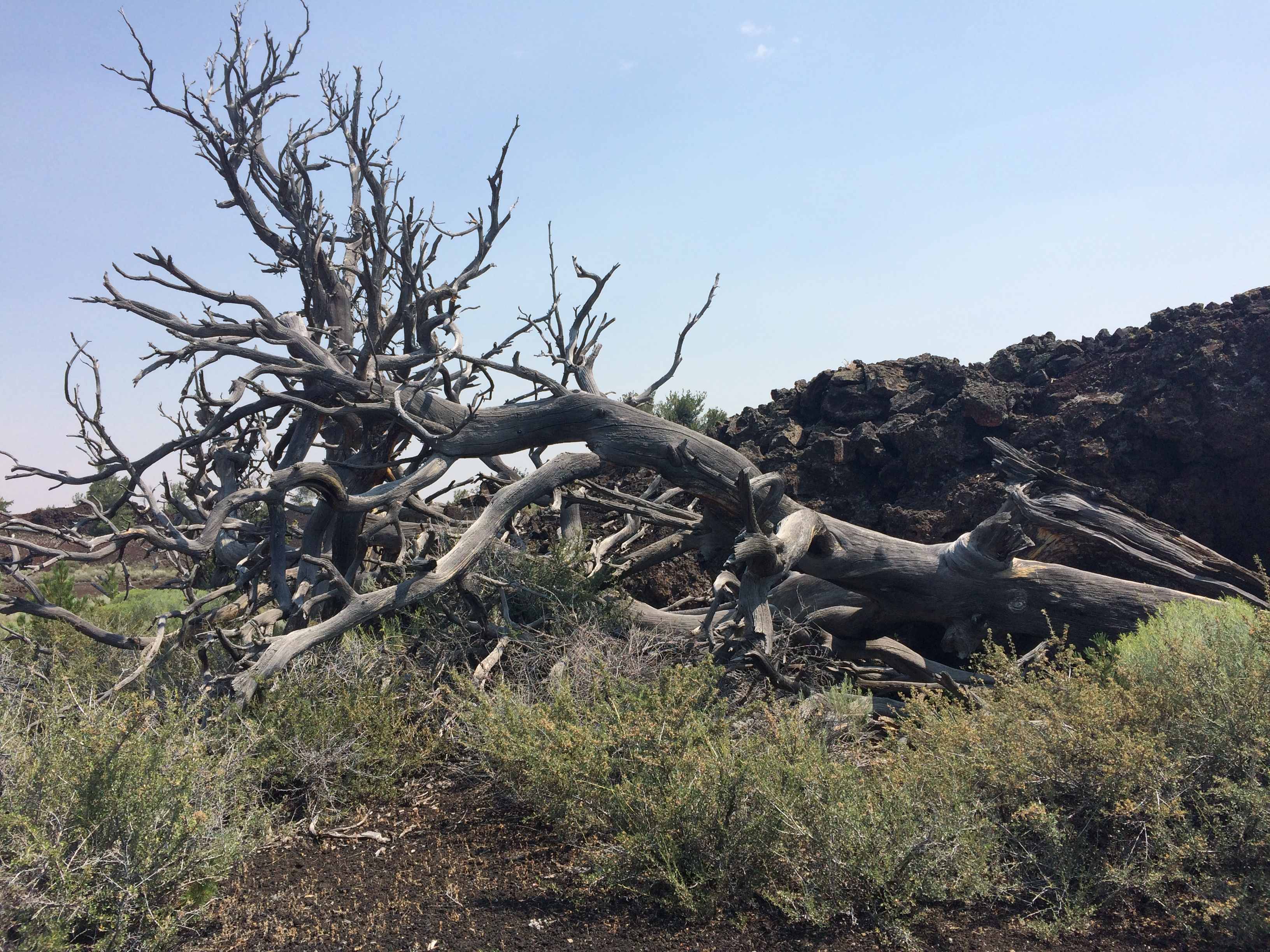
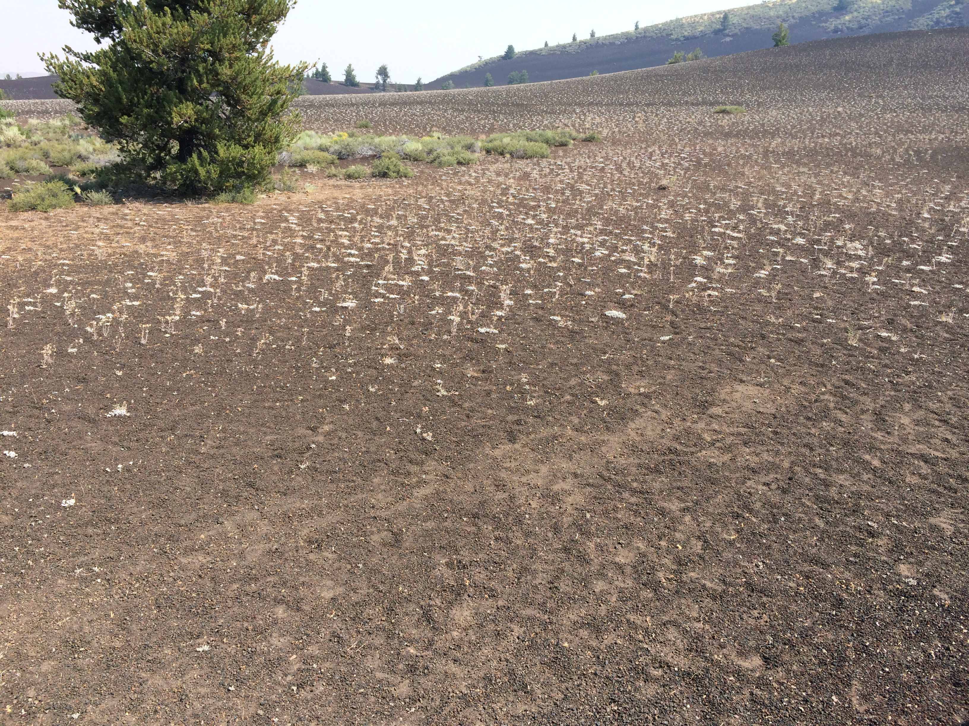
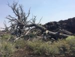
 But there were a couple cool spots, the splatter cones and hillsides of miniature buckwheat plants that
 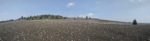 appear to have been planted on some sort of grid system. It was still fairly early in the morning but was well on its way to being 102 degrees when we got there.
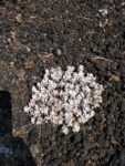
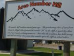
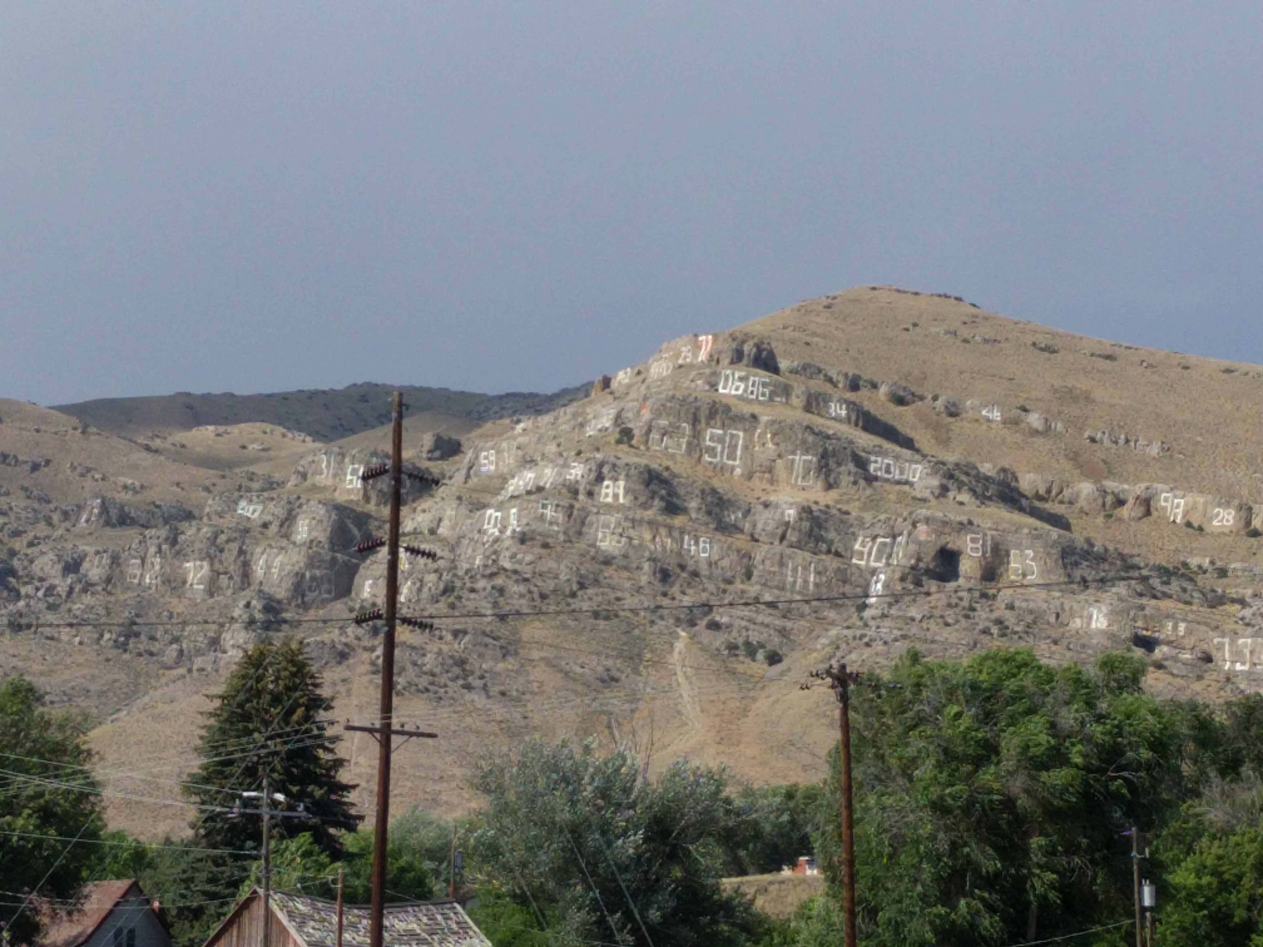
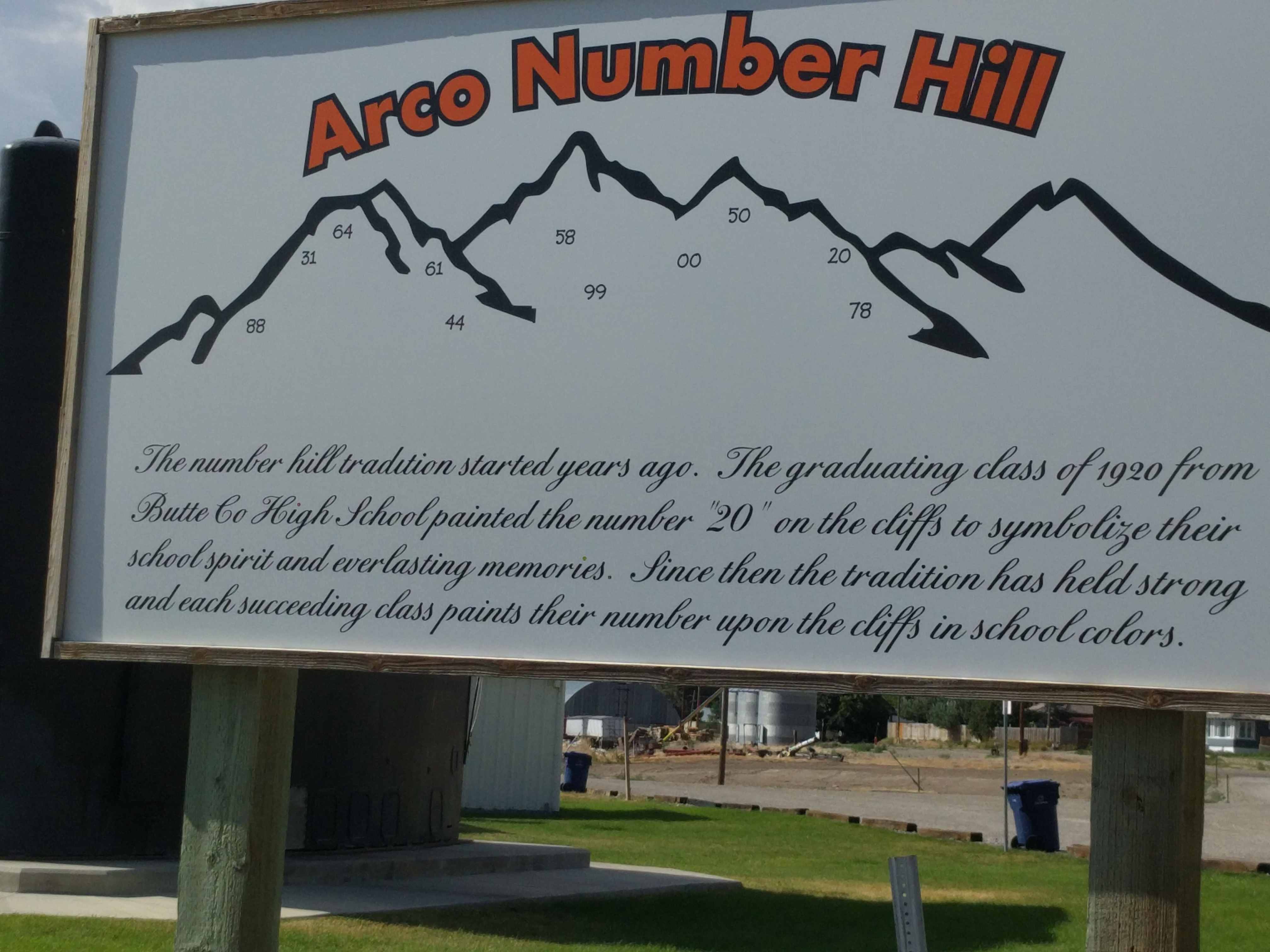
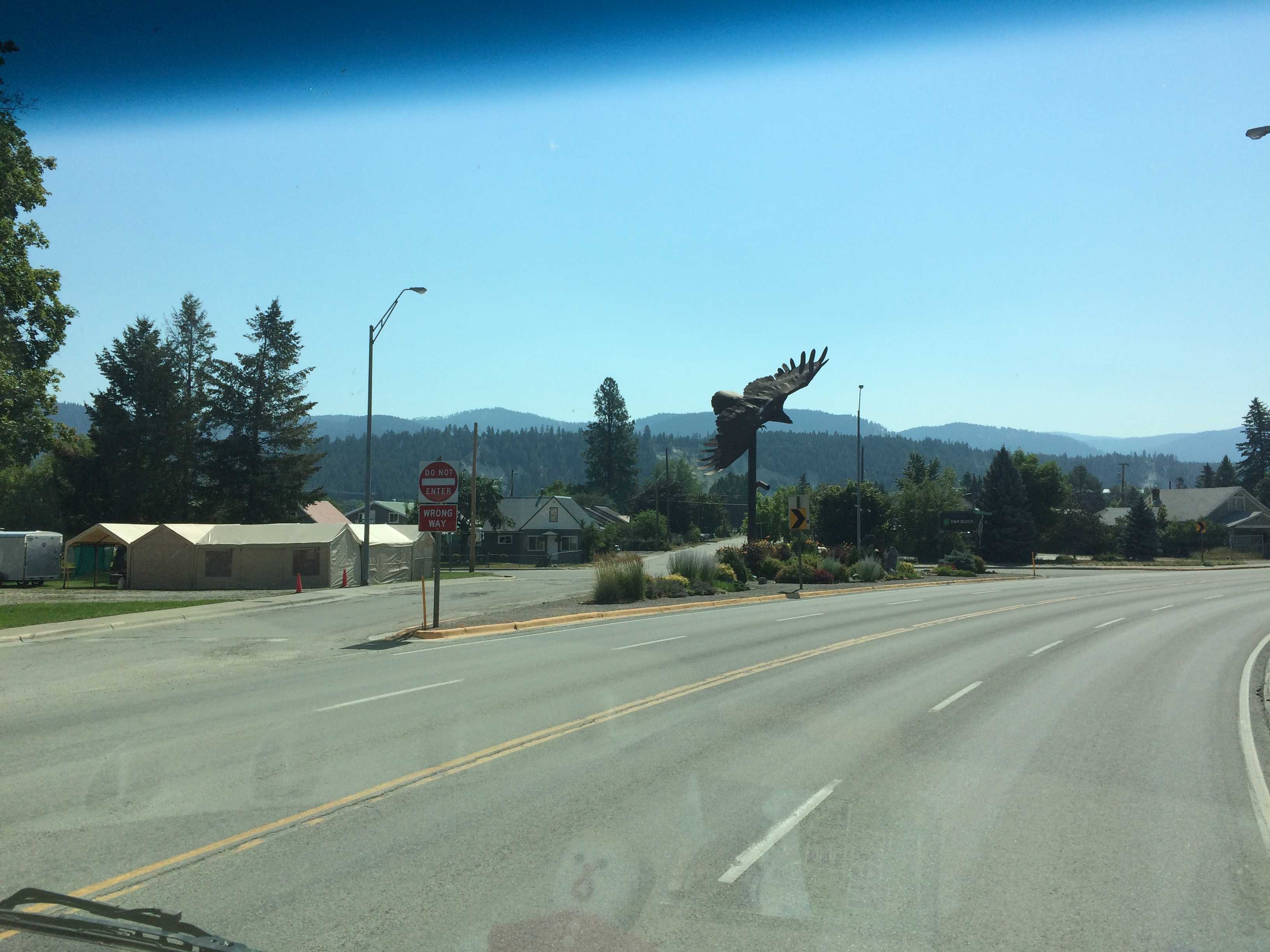
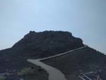
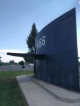 On the way back, we stopped by the conning tower in Arco and noticed on a large cliff face above the town lots of numbers painted on the stone cliffs. Turns out they
 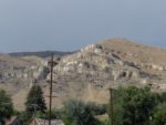 are the work of each year’s high school class. The graduating class climbs up there and paint their years number. Whatever happened to S mountain… Hey, that’s our blog’s namesake, S mountain, aka Cowles Mountain.
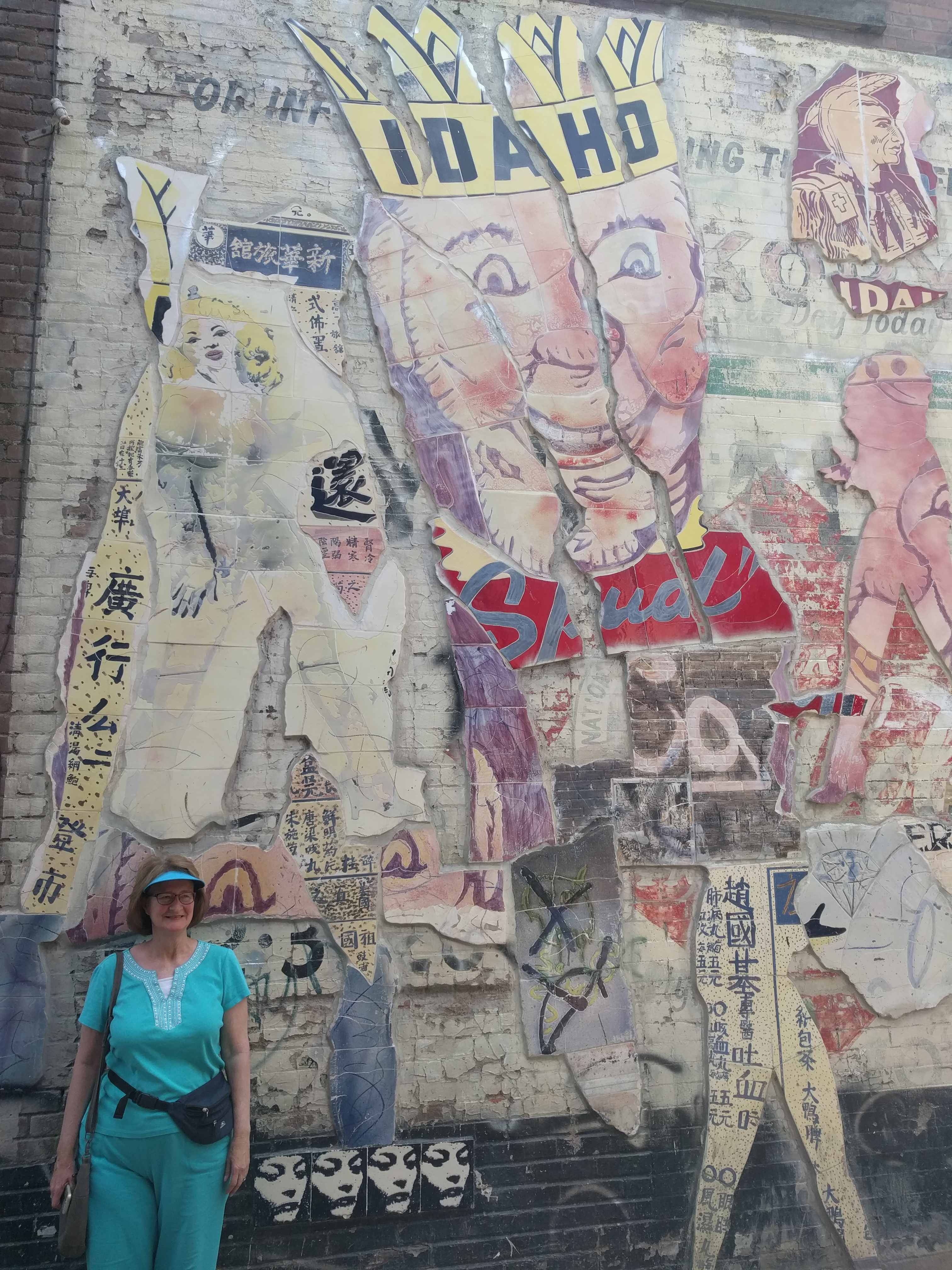
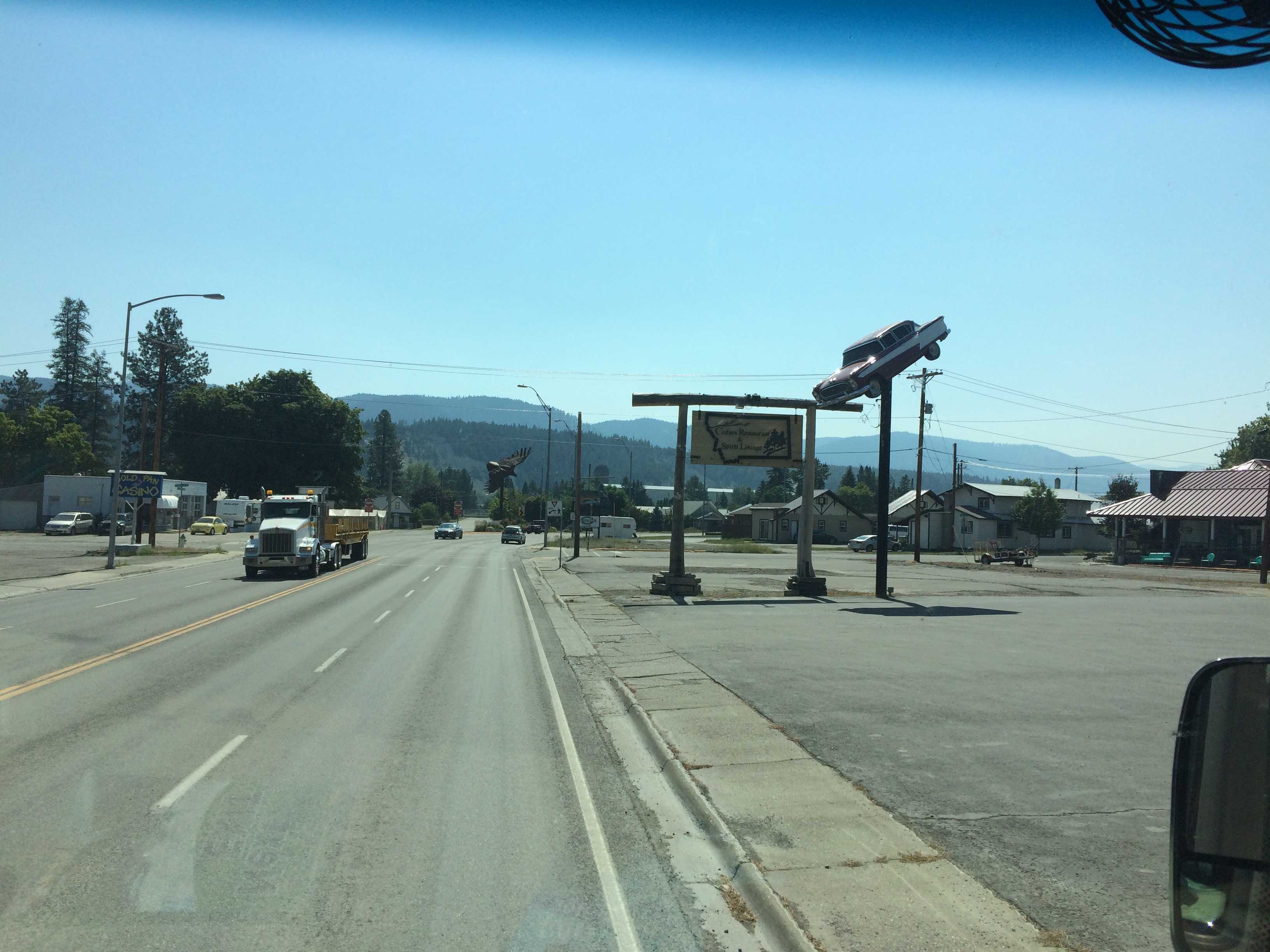
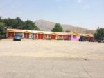 Kathy spotted the most oddly painted motel off to the right of the park hosting the conning tower so we had to take some pictures of that too.
Arco is a quirky little berg. Oh, and Arco is the first town in the world to have been powered by nuclear energy. That appears to be its claim to fame. The Idaho National Laboratory is located 20 or so miles west and they are responsible for all the research on our country’s nuclear power generation systems past, present and future.
We had a pretty good dinner at the campground restaurant, smoked baby back ribs were their specialty. It wasn’t Phil’s ribs, but they were pretty good. Especially considering we were in a “hole in the wall” town in the middle of nowhere.
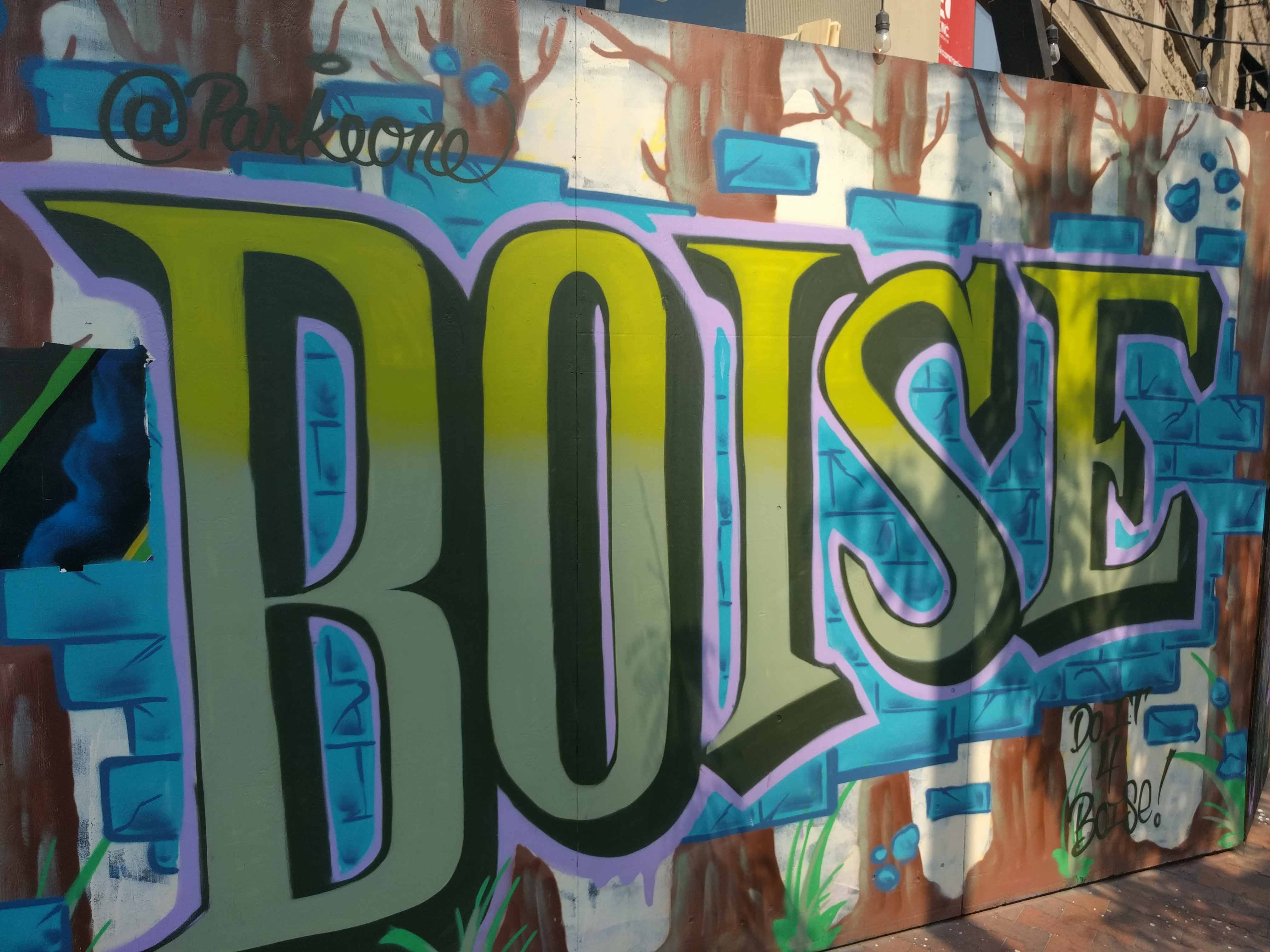
Tomorrow we head for Boise!