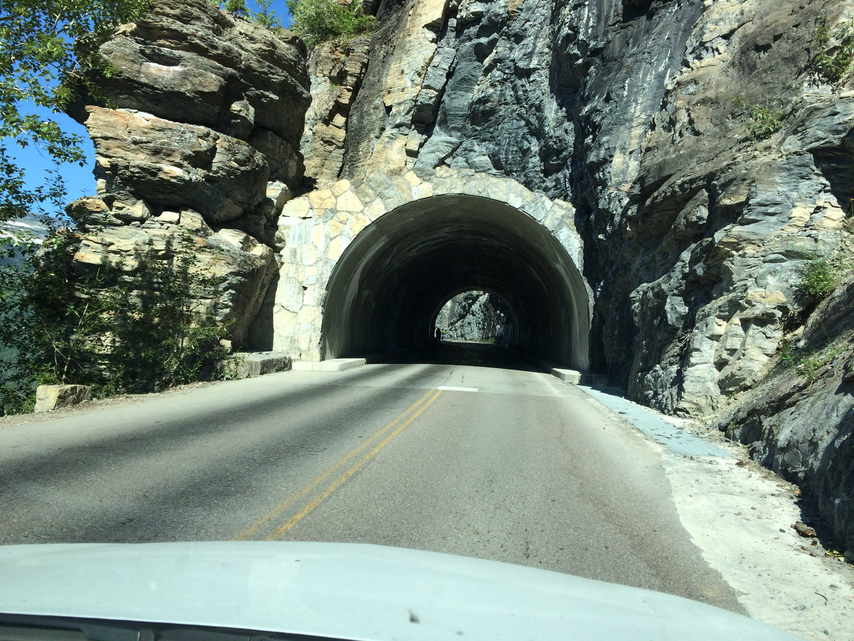
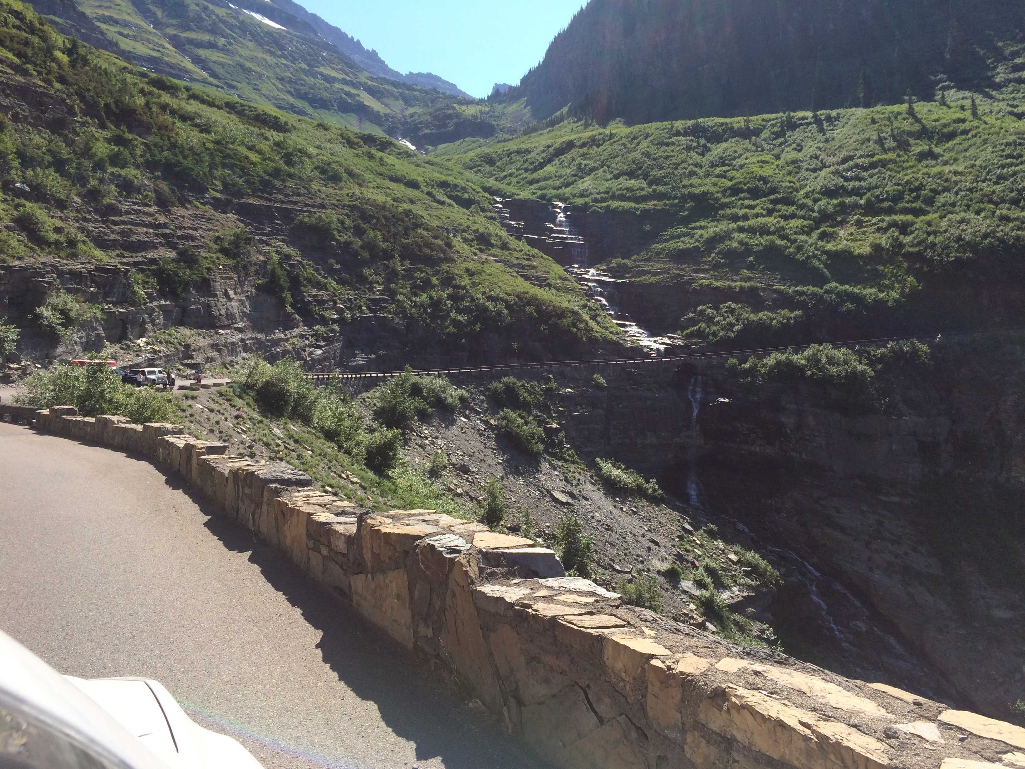
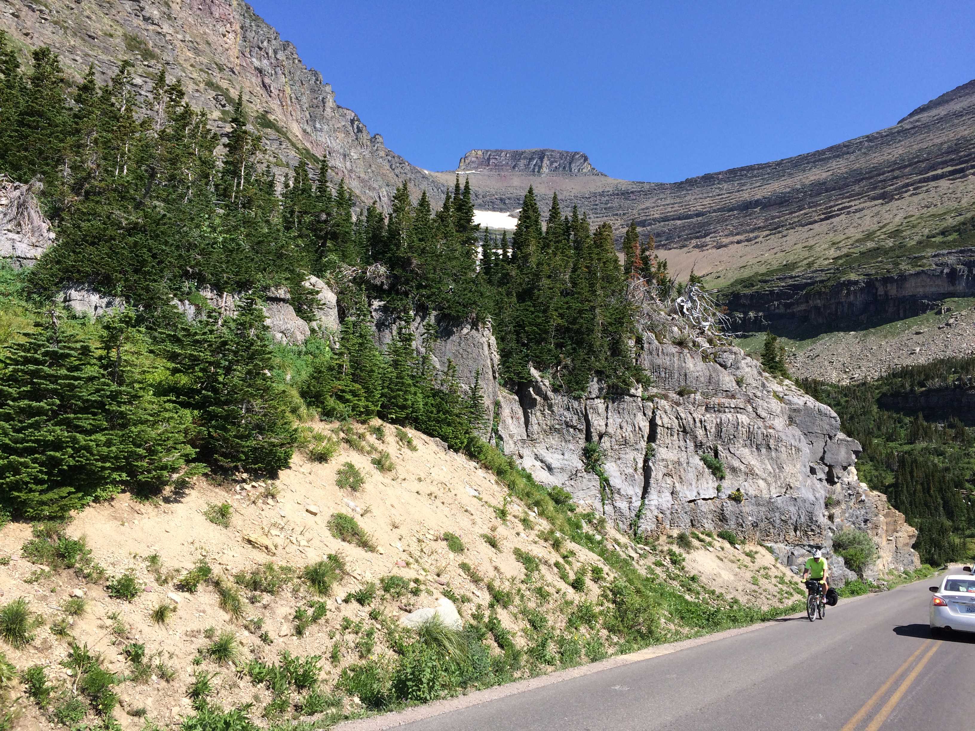
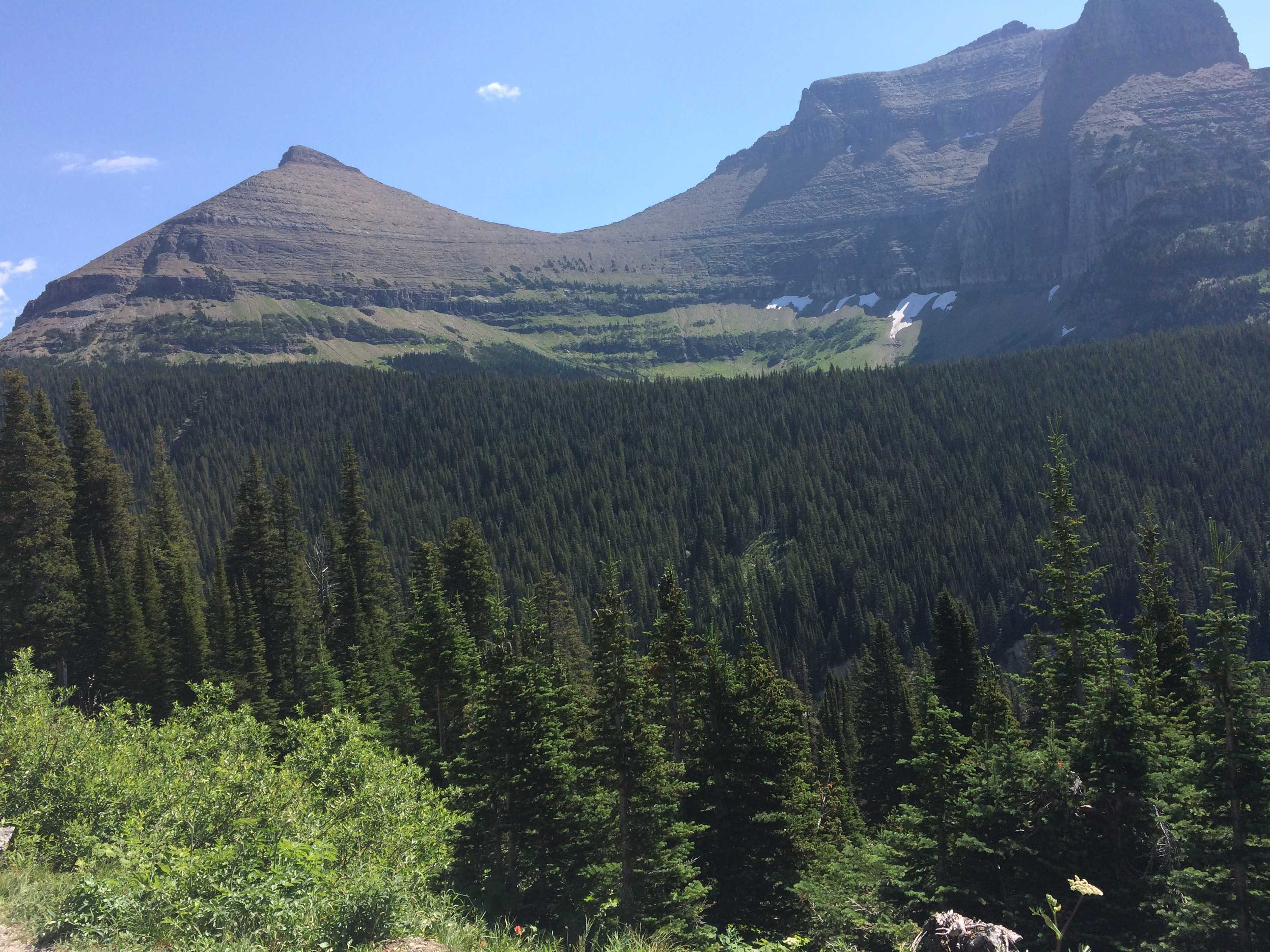
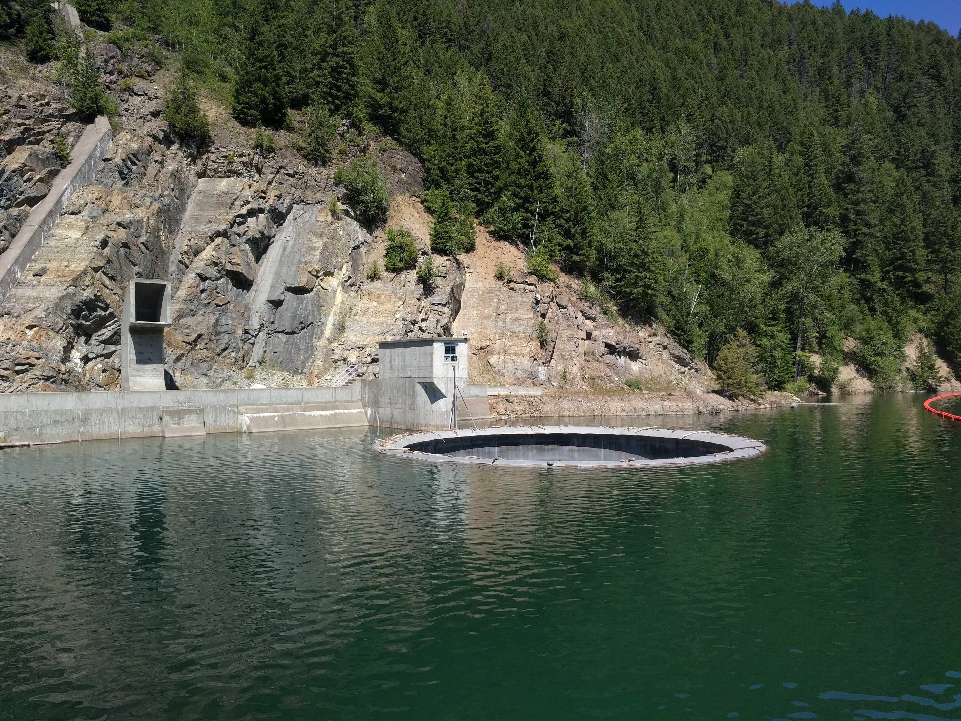
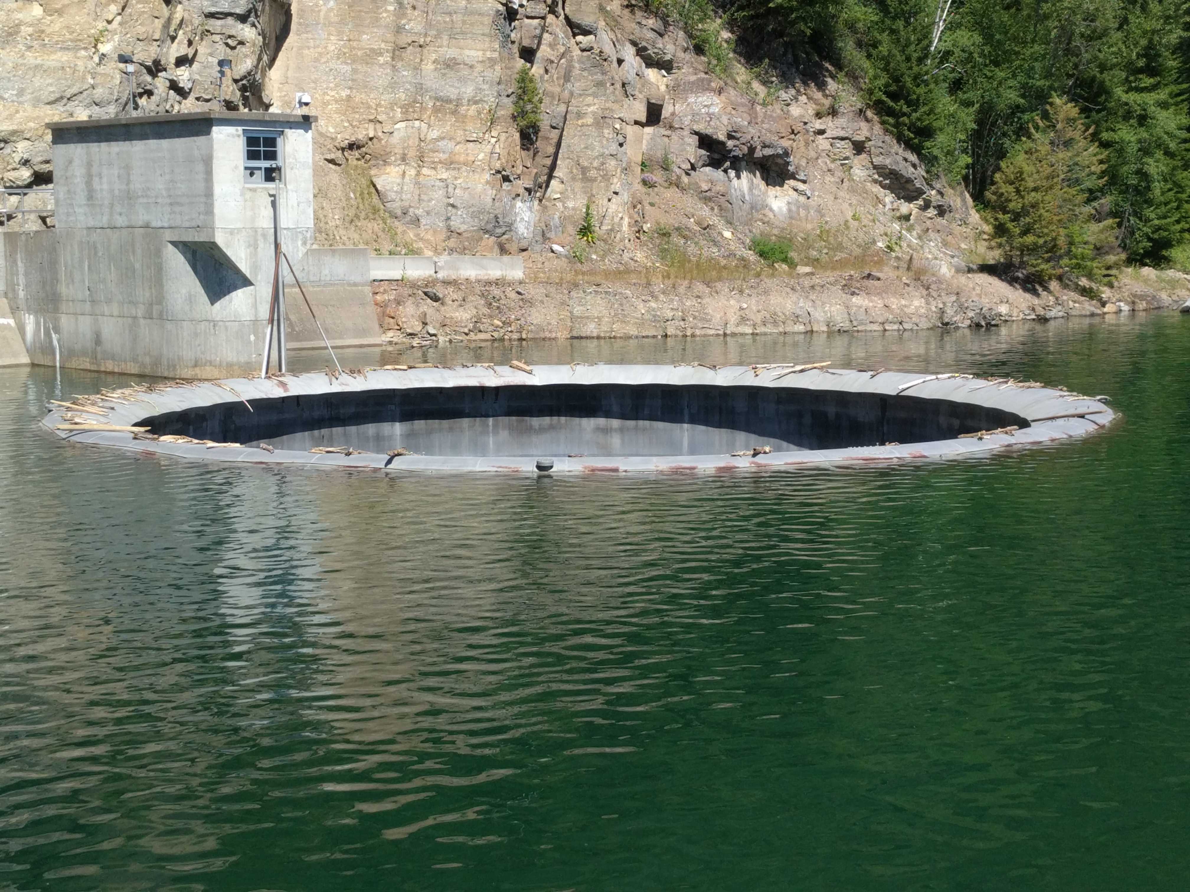
During our Tuesday afternoon drive from Silver City, NM, we pulled over in a rest area near Socorro, NM, about an hour south of Albuquerque. I did my usual walk-around prior to getting back on the road. When checking the toad connections, I noticed some red fluid on the ground under the coach. I was hoping it was from a prior vehicle parked in the spot; but when I looked underneath, I saw fluid dripping down. I thought it was transmission fluid as it was red; but when I got a little between my fingers, I realized it wasn’t oily. Ah Ha.. it was coolant.
I looked into the engine compartment and could not see where it was coming from. I was hoping it was a hose leaking. I found a bottle of extra coolant I travel with and poured it into the tank so it was high enough to see in the site-glass again. Then I headed the hour north with my eye on the engine temp gauge while I called the ABQ Freightliner dealer who proceeded to tell me it would be days before they could get me in to look at it.
My second call was to the ABQ Cummins shop whom I was able to get them to say bring it right in. I drove there, and Charley, the guy I had talked to, called over the service supervisor, Josh to check it out. He immediately was able to see where it was coming from and got out his camera and snapped a picture.
We could see it was a hole in the radiator, not a hose as I had hoped. They wrote up an estimate of $4,700 to replace it. Holy Cow! I called my extended warranty company who told me they needed to talk with the mechanic, not me. Of course he was no longer in sight and I had to hang up as they wouldn’t hold.
Once they came back, I gave Charley the number to call and the account numbers info. He called them and they wanted a quote for a re-core, not the new radiator I had specified. (My radiator is likely 12 years old like my coach, so a new one was in order to make it less likely to happen again from metal fatigue)
Charley called them back, and the insurance company argued that a re-core would cost $500 not the $1,800 he was quoting. (The new one was $2,000) The claims adjuster appeared to be living in 1972 pricing land. We left as the insurance company, which is in Florida, closed so Charley was going to rewrite it up with a re-core and submit it the next day.
We drove off to the RV parking at the Balloon Fiesta to wait knowing the part was about a week lead time. Fast forward to the following Monday, I called Charley and he said he hadn’t heard back from the Ins Co. I called them and they said they were still waiting for the quote with the re-core. It appears Charley never called them back. I should have figured he might not and should have called him that next day to remind him. So we were going to pay the price.
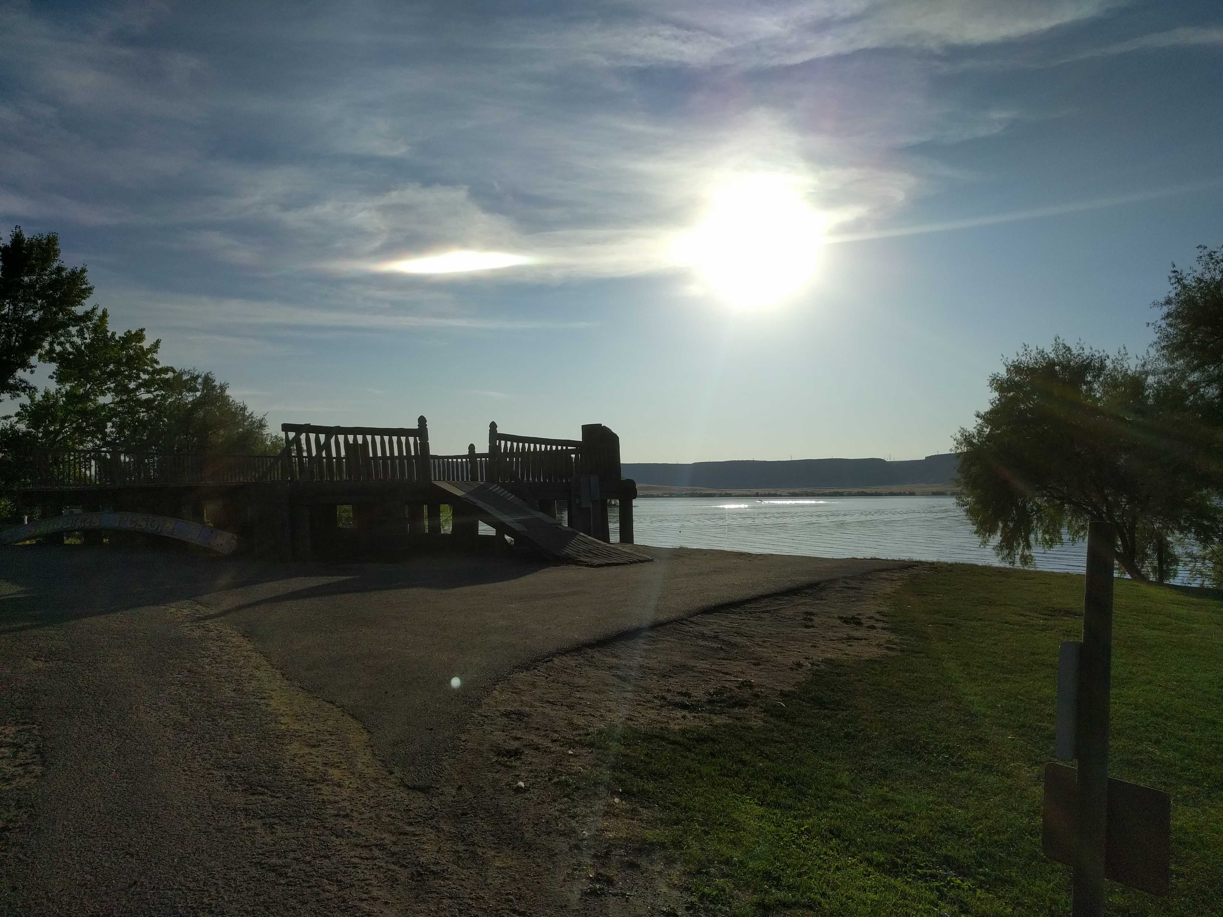
I called him back, and he then called and submitted the new quote. Now we had lost about a week. Charley called me back to tell me they were going to send an adjuster to look at the problem and they would write up the claim after they got his report. The adjuster, an independent guy in the area, had 48 hours to be there. So the next morning we packed up and moved the coach to the Cummins parking lot to camp for a couple of days waiting for him. While there, I used their dump station and also filled the water tank since we had been dry camping for a week already. That was good as the Balloon Fiesta had contracted with a company to bring trucks around to the coaches and pump them out for $30 each time and another truck for water refills for another $30. So by taking advantage of the Cummins stay, we avoided paying that $60.
Around 2 that afternoon a tech knocked on the door and said the adjuster was there. (Sweet!)
Mike was his name and I told him we needed to find Josh, the service mgr, who had diagnosed the issue and had pics. He asked the tech to find Josh and send him out. Josh came out a few moments later and he started discussing the problem he had seen and showed Mike the pics. Mike agreed there was a radiator leak, but he needed to know why the radiator was leaking, was it corrosion or a rock. That was an interesting conversation, as Mike proclaimed he was an “expert” and I realized this was probably a hopeless issue for me.
After that I provided a couple rubber mats for him to lie on and he snapped a few pics with a small camera. He was quite a character and kept repeating he needed to know why it was leaking for the insurance company. It sounded like he expected the Cummins shop to remove the radiator first so he could inspect it. That, to me, was a worst-case scenario as we would be “motorhomeless” for a long time and potentially miss the last week of the Balloon Fiesta. Once the radiator was removed for inspection, the coach was an immovable object, stuck in the repair bay. And we knew that getting the new radiator was a week afterward.
Mike left saying Charley should hear from the Insurance company before 10 the next morning. We decided to pack up and go back to the Balloon RV parking lot and wait for the insurance company response. At least our tanks were empty and the water tank was full again.
The following morning around 11 am I got the call from Charley. He said the insurance company had authorized the repair for the re-core but would not pay the miscellaneous charges. So they would pay a little less than $4,400, I authorized Charley to buy the new radiator, which was only $200 more than the re-core, and they ordered it. I texted a buddy who has had a bit of coach issues recently and I said I should play the lottery after hearing they will pay. He texted back that I had “already won”.
I called back the next day to see if it was ordered, and he told me it was now 7-10 business days away. Previously it was 5 business days. So that put our Halloween party bus night in jeopardy and also my academy training class for volunteering with the SDPD starting on the 29th.
Once the Balloon Fiesta was finished on Sunday morning, we packed up and drove back to the Cummins parking lot to camp there. They provide 50 amp electric service to 4 spots in their parking lot. It’s like luxury after two weeks of dry camping using the genny and our new solar panels to recharge the batteries. (That will be another post about using the solar while dry camping there)
I had called around and there was no availability for camping near ABQ the day the event closed. Around 800-1,000 RVs were leaving that Sunday morning. We could have stayed one more day if we wanted to by paying a small fee, but the weather forecast was for snow on Monday. I didn’t think it would be a great idea to be on the road if it really snowed that morning, so we packed up and headed to the Cummins shop hoping there was a space still available.
When we got there all the RV parking spaces were empty. Nice!!
We parked it , deployed the slides and hooked up to the 50 amp pedestal, keeping my fingers crossed they didn’t power them down on the weekend. I plugged it in, flipped the breaker and there were lights on my SurgeGuard. Sweet!
That night we realized it wasn’t a great area. Lots of homeless folks in the distance around us. The next morning, Monday, I asked if there was a tracking number for the shipment. They didn’t have one but gave me the number of the Freightliner dealer they ordered it thru. I called them and was fortunately transferred to the receiving dock. The guy there was able to find the tracking info and said it would be there tomorrow (Tuesday 16th) Our repair was scheduled for Monday the 22nd, and I hoped to be able to push it up a couple days since the part would be here so soon, to be able to make it home for the Halloween party; but as the week progressed, we could see how jammed they were. Lots of RV’s were going in and out of the place. We met one couple with a 2008 American Tradition coach that had just had their second engine installed at a cost of $33,000. Yikes.. I asked if they had an extended warranty to cover that but he said no. Double Yikes!!
We had been having intermittent air leveling issues since our Northwest trip and it started up again on the cold morning at the fiesta campground. That’s when I realized the problem only occurred when it was below 60 or so degrees. The cold morning leaving San Francisco, a cold morning leaving Klamath Falls, then in Coos Bay, and Salem Oregon. After that it hadn’t occurred till now. After we left the west side of the Cascades and headed toward the desert of eastern Washington, we hadn’t experienced it again.
Fast forward to this week, the wind really started to blow hard and a tree behind us started scraping on the roof, so I wanted to move the coach up a foot to prevent that, and the coach wouldn’t level up again and I could hear a lot of air leaking near the rear wheels.
I went inside the Cummins service and asked if they had time to look at it. That was a negative, so I called the Freightliner dealer and this time they said to bring it right over, which we did. I finally got it aired up to about 100 lbs, which aired up the bags enough to allow driving it there. I could still hear the air escaping, but the on-board compressor was just able to keep up enough air pressure to let us drive over there.
After a bit they brought the coach in and were able to find a bad elbow joint, a $2 part was leaking big time. It seems that when it was warm, the metal must have expanded just enough to lessen the leak so we didn’t notice it. But it was really cold when we got it there, so they found it almost immediately. Once that was fixed, the tech stayed underneath and sprayed soapy water on every other fitting he could reach to checking for other leaks. None were found, and we drove back to the Cummins shop to wait..
It’s Saturday in Albuquerque and our repair work will be starting on Monday at 7 am. We are going to rent a hotel Monday night, hoping they will be finished by Tuesday evening so we can stay in the coach Tuesday night and get a really early start home on Wednesday morning. Or maybe leave late on Tuesday to go up a steep grade to give the work a good field testing. The camping spots started to fill up in earnest Saturday afternoon and by Sunday there were 5 coach’s plugged into the 4 pedestals.
Monday morning around 7:30 Daniel the mechanic who was assigned to R&R the radiator drove our coach to the furthest bay in the building and backed it in. We stuck around in case there were any questions, and I asked Josh to let me know when the radiator was out so I could see in there.
About 8:30 the next morning I got the call that the radiator was out and I could come over to look at it. I was glad I did as I had asked them to replace all the hoses while the radiator was out and they had said all the hoses were straight so nothing needed to be ordered. When I popped my head under the coach that was high in the air I noticed a molded hose right away and pointed it out to Josh. He found one other so we were going to need to order them. Of course there were none in stock nearby so we had to airfreight them and they wouldn’t be there till sometime on Wednesday. Oh well another night in the hotel would be required.
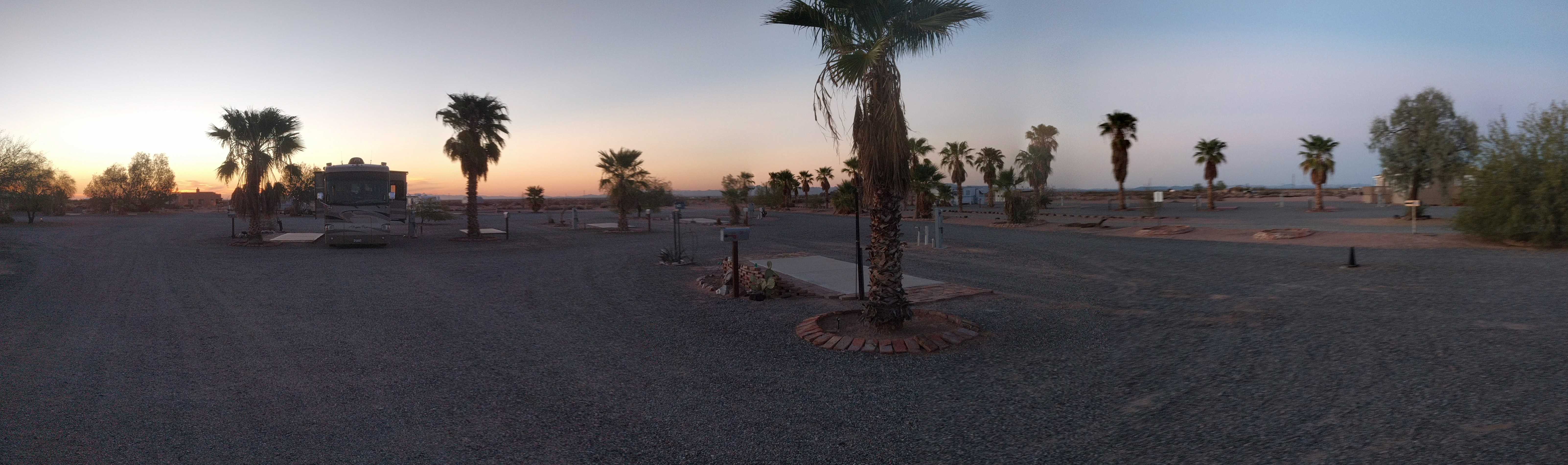
Wednesday afternoon we got the word that the hoses had arrived and they should have it all finished by 4pm. Daniel pulled the coach out about then and we got all the paperwork done and headed out on the road thinking we could get a couple hundred miles south before sundown. But within an hour I realized the sun was going down before we got the 80 miles to Socorro NM. We tried calling a couple of places but all we got were busy signals. We drove to one of the places as it was just about dark and the place was sparsely occupied. I checked in and pulled into a spot with the car hanging out into the interior roadway as that pull thru was meant for something 20 feet long. We setup for the night and were asleep by 9pm. The next morning we rose early and were on the road by 8am (7am pacific) I was planning on getting to Tucson for the night but when we drove thru there at 2pm I decided to try to make Yuma for the night. We arrived at the campground Kathy called at 5pm checked in and setup for the night. (Thursday)
The next morning we got on the road at 9am and were parked in front of the house at noon. Success! It was warm in San Diego, of course, we had to start unpacking as the coach heated up.