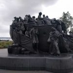
Klamath Lake


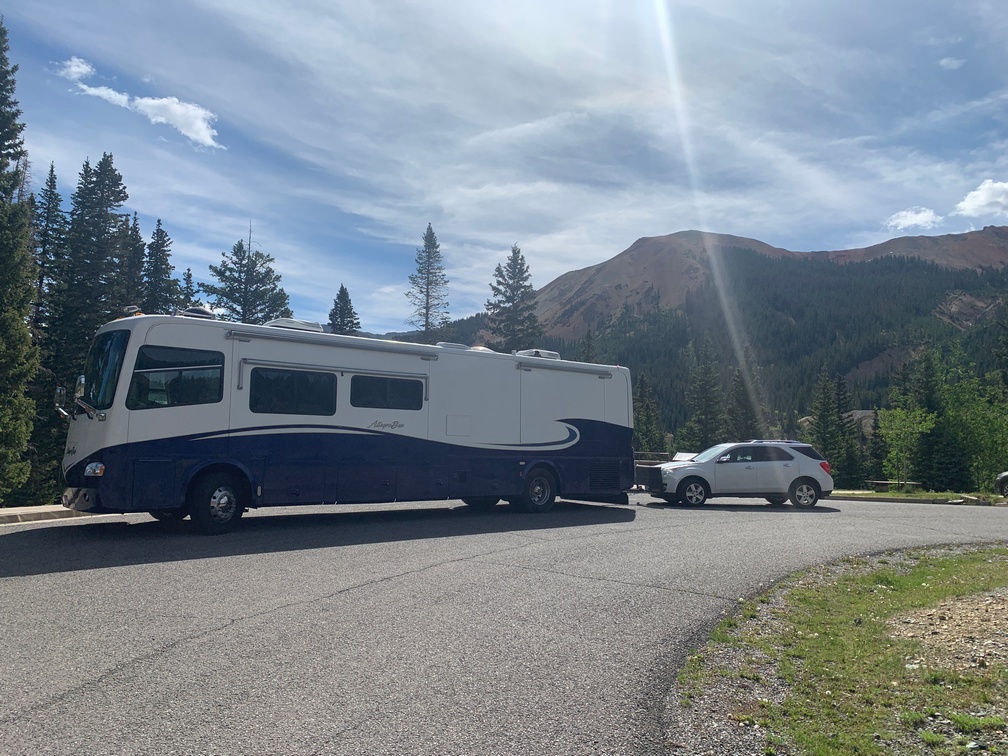
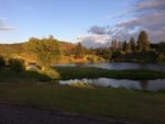
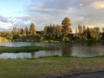
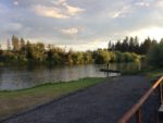
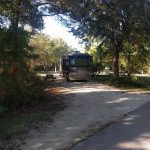
We are camped just north of Klamath Lake right on the Williamson River.  The view out the coach is gorgeous,  as you could see if you checked out our webcam while we were there!  We arrived here late afternoon on Friday, registered and pulled into our spot right on the riverfront.   The spaces are kind of tight in this row of the campground.   I had to do some tree trimming as a pine tree on our right was touching the top of the front slide out and the following night (Sat) the weather apps said there would be a thunderstorm, which usually includes lots of wind.

There was a small highway about 800 feet to our west, but the prevailing winds must have carried the sound away from us as I could see vehicles go by but really had to listen to hear them.    After we got settled, all I wanted was to sit outside looking at the river with a Bourbon and 7 in hand, but we forgot to pack the 7up.   We were dead tired from the 7-hour drive from San Francisco and hit the sack pretty early.   Kathy’s phone rang a few minutes after my head hit the pillow and she jumped up and ran for the living room.  I don’t think I ever saw her move that fast.

I slept the sleep of the dead that night, although Kathy said she woke me up at some point after hearing a sound.  I think she must have been dreaming it, as I don’t remember getting woken up at all.

Saturday morning we headed over to Klamath Falls with the intention of finding the falls.    After a while of driving in circles, we determined there are no falls in Klamath Falls…   They need to rename the town to “Klamath Sans Falls”  I read it’s the town joke,  everyone asks where are the falls..

It’s a small town with lots of 20 MPH streets.   I can’t remember ever seeing folks driving that slow before.   Not even in Sun City where the blue hairs are driving pretty slow, but not that slow.

We saw a farmer’s market and stopped, but it was like every other small town market we have been to lately.   One stall selling produce and all the others selling art, knickknacks, honey or soap.   And of course the produce stall was sold out when we got there.

After that we took a drive around the other side of the lake.  It’s pretty large and took a long time to get around it.   The most amazing thing is there are almost no homes visible around the lake.  If it were in SoCal, that is all you would see around it.   Plus on a Saturday afternoon, there were only three sailboats on the lake.   There would have been hundreds of boats anywhere else.

Saturday evening brought thunder and lightning and of course the rain came too.   I was glad I had cut back some of the tree branches that were hanging over the coach as they would have been making a loud racket by then.    On Sunday and Monday it rained on and off for some of the day.   We ended up doing laundry and grocery shopping.   We also had to move the coach over two spaces for the next two days of being there.  It’s funny how some of these smaller campgrounds using computer systems for booking don’t seem to be able to move things around once they are in the system.    I really shouldn’t have needed to move, but the folks running the joint had no idea how to move the folks coming in Sunday afternoon to the spot they were having me move to.   Apparently they think that once they enter a customer into a spot  in the program, they can’t be moved.

Going to Alcatraz.

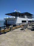
We hiked over and took the 10:10 ferry into the city.   The weather has been spectacular this week and appears that it will be the same till we head out early Friday morning for the long drive to Klamath Lake.   We got off the ferry and contemplated hoping on the Muni or walking to Pier 33.  I checked it out via google maps and it was only a 20 minute walk, so we did that.   It looks like the ferry landing is Pier 0,  and a lot of piers in between 1 and 33 are missing.

We got there about an hour prior to departure, so we  purchased some snacks and had lunch on the tables they have arranged by the boarding ramp.    The boat was a bit late arriving for our boarding, but we made it to Alcatraz just a few minutes late.   They must have been using cattle prods to get the masses loaded so fast.

I had never been to Alcatraz before, even being in San Francisco many times before.   I never remembered to book a tour in advance, and when I tried they were always full.

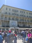
The island looked pretty worse for wear from the 5,000 folks visiting it every day and apparently not much maintenance happening.   Lots of areas are blocked off as unsafe.   After following the people ahead of us, making a wrong turn and going up a hill and down the other side only to find a dead end, I decided to look at the map for myself.

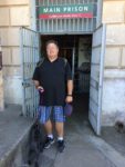
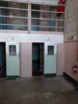
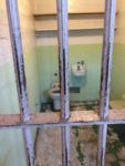
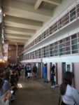
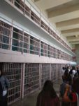
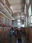
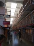
We then proceeded to hike back down to the path that leads to the cell block.   Thankfully it wasn’t very warm as the hills are steep to get up to the top of the rock where the cell block is located.   We each received an audio machine with headphones and proceeds to walk the cells while listening to an old guard narrate what we were seeing.   The most creepy part was the solitary confinement cells.  (the hole) They were pitch black inside.

The narration went over the Battle of Alcatraz, where back in the 40’s, inmates got ahold of guns and took a bunch of guards hostage.   The warden called in the marines.   They pointed out the pock marks in the floor from exploding grenades the marines dropped in from holes in the roof.    They pointed out the cells where the escapees were housed, and also showed you the crawlspace they went up to get to the roof.   It was pretty impressive they could have done that.

Did I mention the cells were extremely small, 5′ wide and 9′ long, they looked about 7′ tall or a bit shorter.    Although the cells in the incorrigible cell block (D) were a bit larger than the others.    I really think they needed to put in a bird cage into the bird man’s cell.    Seems they need a bit of marketing help.

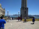
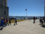
We went outside into the yard and they had an awesome view of the city from there.

The island has a lot of flowering plants and they were all blooming while we were there.   That was pretty nice.


Trip to Mavericks

We wanted to drive down to Half Moon Bay to visit the Pillar Point RV Park we heard about while stopped in Bakersfield.  I google-mapped it and we took the 101 south to Hwy 1 and headed down the coast.   We found the park and drove in to check it out.   Very nice little spot on the ocean in HMB.   Turns out it was a first-come first-served kind of place.  The camp host mentioned they posted info on their website and that the best day to arrive was on Sunday mornings.

After grabbing a brochure, we headed back north a bit so I could find Mavericks Beach.  I had heard about the famous surfing spot years ago and wanted to check it out.   I was guessing we wouldn’t be able to see the surfers as the spot where they surf is over a mile off the beach.   It was not an easy place to find.   No signs, just a bunch of short little streets in what looked like an old industrial area.

We finally found the right road and drove out to the Air Force station.  Just before the signs saying we could go no further, there was a small dirt parking lot to the left.   We backed up and parked in there.

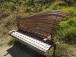
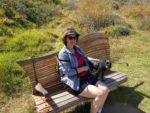
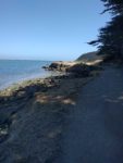
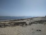
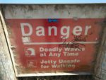
There was a wide dirt path at the back of the lot that went out between a tall bluff and an inlet.   We hiked out there and around the bluff out to the beach side.   On the way out, we spotted this really cool bench and had to snap a few pics.   It was a beautiful day,  probably 80 degrees and a nice breeze.   Snapped some pics and headed back where we got to watch a seal or otter play just a bit off shore of the inlet, within 50 feet of some boys that had no idea he was there.  They were preoccupied with a crab or something in the rocks by the shoreline.


We got back to the car and proceeded to head back north on Highway 1 to look for another RV campground I had seen online.   We found that one.   It was not as nice as the other park, and was high up on a cliff.   One thing that caught our attention was all the sites along the cliff were chain link fenced off.   It appears they are falling into the ocean.   The other sites at that campground were awful… scratch that place.

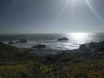
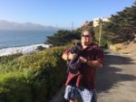
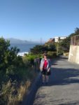
Once out of there I headed for Skyline Drive as it kept us by the ocean on the way north after Hwy 1 headed inland.  It skirts the beach in areas and goes by the SF zoo.   I didn’t know there was another Ocean Beach up here,  didn’t appear as cool as the one in San Diego though.   Kathy got to see the Cliff House, and we stopped at Lands End and I took a few photos of the old Sutro Baths.   And then we headed out to find the Lands End Labyrinth just past the Legion of Honor memorial park.   Gorgeous vistas abound.


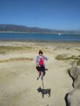
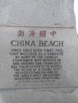
Down the hill we went to spy on China Beach.  After driving around in circles for a bit, we finally found the correct turn.   The houses over there were spectacular,  must be the really rich end of San Francisco.  Turns out it was a long way down to the beach from where we parked. We got about a third of the way down when we spotted the “No pet” signs.    Bummer.   [It was a really steep hill, so I was happy we couldn’t go down!]

We climbed back out and started looking for a way to the Golden Gate Bridge and back to the RV.    It’s just so different on the west end of SF,  you wouldn’t know you are in a city.   The whole Presidio Park area is breathtaking with all its views.


Next time we come back, we will spend a lot more time out there.

New Orleans

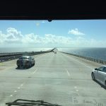
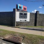
It was a long drive down to New Orleans from Red Bay.  The quickest way was quite a few smaller highways, then the last 100 miles was smooth freeway that took us right to the French Quarter RV Resort.   Very nice place,  just two blocks north of the French Quarter.   It was also the most expensive place we stayed so far.   Weekend nights were $150 and weekdays are $105 a day.   I guess a decent hotel would have been significantly more that that.   We arrived late Saturday afternoon, so after we set up, I went in search of a grocery store.  The grocery stores in Red Bay were small and lacking some basic things.

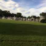
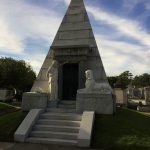
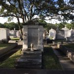
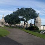
Sunday was a down day as it was raining here pretty good.  On Monday we scheduled a tour bus to pick us up at the resort and drive us around on some of the bumpiest roads you could imagine.  (Savannah Riverfront included)   We went all over town and thru the heart of the French Quarter that the other buses could not go due to their size.  So now that we have toured the city, I have an idea where to go the next few days we are here.  They have some of the coolest cemeteries.  It must cost a pretty penny to die in New Orleans…

I scoped out a little Mexican taco shop not far from the RV and had some really tasty street tacos and a so-so burrito for dinner, but too much filler in the burrito.. freaking rice just shouldn’t be in a burrito.  In thirty years eating Mexican food in San Diego, never had a burrito with rice in it.  I was surprised finding out that all over the country they put rice in their burritos!

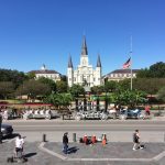
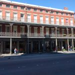
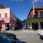
On Tuesday we headed down to the French Market area for a little shopping and a really good muffuletta and gumbo for lunch at an open air place with the dogs.   Everyone loved the pups there,  the wait staff even came by twice with water for them.   There were a lot of things to look at in the market, but one of them wasn’t produce.   Most of our previous market visits in other towns included lots of produce to select.   We strolled all over,  snapped some pics in Jackson Square and over on the river.  The river walk there had lots of construction happening.   I guess they want it ready for carnival season.  They really take Halloween seriously here, most of the houses are seriously decorated.  Even the huge mansions of the garden district had lots of decorations strewn all over.

Wednesday morning we drove to the Lower 9th Ward.  It is truly a poor neighborhood.  The odd part of driving thru there was that the few houses that had been rebuilt were only raised to about 3 feet off the ground.  In an area that had just experienced 10 feet of flood water, I expected them to be raised a bit more.    The difference in cost would be minimal since the house raiser was already set up, so it would only be a few extra hours of work.  There would be a bit more work for the posts or walls being higher, I guess.

Just south of the 9th Ward was Chalmette and the historic park where the battle of New Orleans took place against the Brits in 1814, just after the war had ended..  They hadn’t heard about that yet…

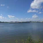
After the battlefield we made our way over to the other side of the city to Audubon Park along the river also.   Nice park with a zoo and riverfront walk for quite a distance.   Lots of tugboats went by pushing at least 6 large, laden barges in front of them at a fairly rapid pace.

We left the park and headed back toward the Garden District for lunch, then a short drive around the French Quarter for the added local flavor.  This time I went for the Po Boy and more gumbo.   The place in the market was better.

There are a lot more street cars now than I saw the last time I visited back in the early ’90s.  Just the old green ones were there back then.  Now there are lots of new red streetcars going up Canal Street and out in different directions.   Mass transit is good.

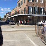
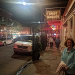
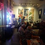
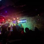
That night we Uber’d over to Frenchman Street for drinks and music.  There was lots of music, much better than the craziness of Bourbon or Royal streets we all think of as the FQ.   Actually, we started at the corner of Royal and Frenchman and headed toward the river.  Great night.  Lots of great music, even in the street!!


Savannah

We arrived at the Red Gate campground early in the afternoon, so we headed into Savannah to find the visitor center and pick up a tourist map.   With that in hand, we set out to see the town.  But first I wanted to stop at the railroad museum, which was just behind the visitor center.   Since it was late, I asked for a discount on the admission and the person charged us half price.

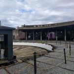
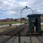
We then took a stroll with the pups thru the round house full of locomotives and cars.  There was even a working turntable.   It was surprising that the Savannah visitor center would allow you to dry camp (aka boondocking)  in their parking lot for $7 a day.  But I don’t think you can put out your slides.

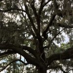
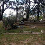
We wandered around the site for about an hour, then we headed out to tour the Bonaventure Graveyard.  It was huge.  Never seen anything like it.  It was closing soon and I kind of got lost for a little bit.  I was getting a bit concerned we might get locked in.  I bet it’s a pretty creepy place after dark.  That Spanish moss is everywhere down here.

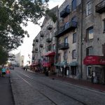
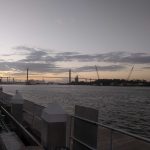
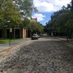
We found our way out at about five of five and proceeded down to the riverfront to find a place to have dinner.  We read about Hueys as being pup friendly.   We got onto the riverfront street,  all old cobblestone and the bumpiest roadway I believe I have ever been on, even at a couple miles an hour.   The place has a few tables street-side and just across from it is a narrow park fronting the river, maybe 40 feet from our table.  Lots of small ships, and a few very large cargo ships were plying the waters.  There was even a small ferry that seemed to be going across the river every fifteen minutes to a hotel on the other side.

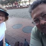
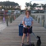
At around 7pm a large riverboat left the dock about 100 feet west of the restaurant.   You should just be able to make it out behind Kathy in a picture above.   I noticed its paddle wheel wasn’t spinning.  Apparently it’s not real.

The next day I headed back into town to see the market place I had heard about.  It was underwhelming.   I then took a walk thru a few closely spaced squares.  There were lots of them evenly spaced in all directions.   I think Savanna was a planned city.  Maybe Sherman burned it all down so they got to start over.

Overall I wasn’t impressed with Savannah.  It was kind of a letdown after Charleston.

We are starting our Westward Journey in the morning.   It will take two days to drive to Red Bay Alabama with a stopover near the Georgia/Alabama border.

Charleston

We drove down from D.C over a couple of days stopping in Roanoke Rapids, North Carolina, for an overnight in a pull-thru.   It was a pretty uneventful couple of days till after we drove thru Charleston and onto James Island where we were staying.   It got real interesting real fast as we made our way on the smaller roads toward the campground.   Lots of very low hanging branches and the trees themselves were leaning into the roadway.   I had to drive on both sides of the road in an attempt to miss the thick branches I could see with gouges on them from prior vehicle traffic.    The rooftop antennas were doing their Boing Boing Boings as we made our way the last mile or so to the campground entrance.   And the Spanish moss hanging on those tree branches  gave the drive an eerie overtone while experiencing the sounds coming from the antennas.

Thankfully once on the campground roadway the branches were all cut back to a decent height.   This campground was a very large county park with all sorts of areas to do things.   There appeared to be a water park, an outdoor adventure area including a rock climbing wall, lots of fishing spots.  There were even crews installing Christmas lights on specially built structures all along the roadway for their Holiday Festival of the Lights, which looked more impressive and much larger than our Del Mar one.   They have two fenced dog parks with beaches and a lake for them to frolic in.   Kathy wasn’t about to let our pups in the water as the sign at the gate to the dog parks said alligators may live in this area.   Not sure why so many dogs were playing in the water if there might be alligators just under the surface ready for lunch.

We arrived on Saturday afternoon, and on Sunday morning we drove over to the visitor center in town to get a map, then we headed out to procure a parking spot, which we found on the very south end of the city along the water in front of the White Point Garden.   It was from there we started our trek into the historic district.

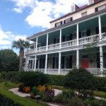
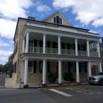
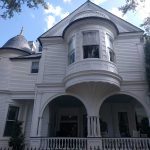
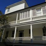
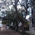
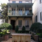
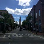
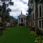
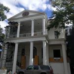
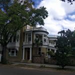
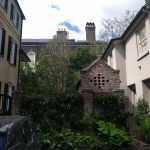
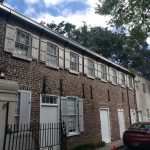
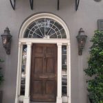
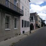
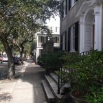
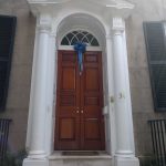
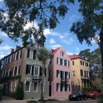
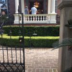
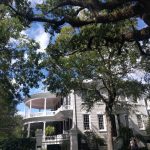
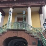
First we strolled up Meeting Street.  The houses were incredible.  Each one was a little nicer than the last one.   All the balconies with their signature ceiling fans were fabulous.  Some of them seem to have painted their balcony ceiling a very light seafoam green, which was strikingly pretty.   We made our way north to Market Street where we made a right to peruse the market buildings with all their shops in the middle of the north and south Market streets.   We were going to go down Church Street but decided to walk over to the water near the wharfs and another large park I saw on the map.  (Charleston is on a peninsula,  water on three sides.)   When we got there, it was like a gale was blowing off the water (almost blew the pups off their feet!).   Just a hundred yards up Market and there was no wind.  Not sure why that was.   I remember NYC on a windy day, the streets were like wind tunnels.

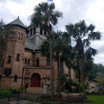
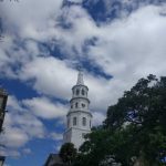
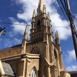
We walked along the waters edge to the end of that park and cut back inland toward Church Street to head south to the car.   Church Street had a lot of folks walking down the middle of the brick paved street and bicycles all around.  There was lots of great architecture to gawk at, but the atmosphere was so different than just a block away on Meeting Street which had more cars and people plying it.

In a little while we were back in the park diagonally across from where we parked the car.  We drove back to the island for a late lunch at a Mexican place that said they allowed pets on the patio.   Surprisingly it was really good Mexican food,  it did strike me as odd that on the front door in large letters it said “No pets”.   I went inside and asked.   They said, “Bring them in,” and he went out to the patio to put a couple of menus on a table for us.   After we were seated he brought out a pie tin of ice water for the pups.

Once satiated we headed out toward Folly Beach on the ocean side of the Island we were camping on.   James Island is large and it took a while to get there.   But once there, we drove up and down the street closest to the ocean and checked out all the beautiful beach front homes.   Almost every one of them was raised up about 15 feet from the ground.   Must be fun to haul all the groceries up those steps!   We drove down as far south as the road could take us.  There was another state park.   We headed in.  The gale was still blowing and there were some pretty large waves coming in.  The water was a muddy brown.  Had never seen that in the ocean before.

Something I found out when we were at the campsite earlier that morning walking the pups, I was holding my phone and using my elevation app to determine how low this place actually was.  It said we were 6 feet above sea level.   I was holding the phone about 5 feet off the ground.   This island is about a foot above sea level.   No wonder  lots of the homes even away from the beach were raised up a fair amount.   Not long afterward I heard the radio advertisements from many different companies refer to the area as the “low country.”  They got that right.   Made me think of the Netherlands but without the dikes.

When we got back to the coach, Kathy asked how far we had walked.  It hadn’t seemed like we went very far, but I had almost 12,000 steps.   No wonder my knee was letting me know it was there!!

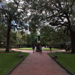
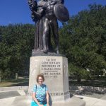
Day two we decided to do a driving tour thru more of the historic district.  What a cool city.  I could live here, although I had not experienced any humidity, which would probably make me rethink that if we came back in the summer.   After we drove around for a couple of hours, we made it back to the park/garden at the south end of the city to get the pups out and for us to stretch out our legs too.    We looked at all the statues from this first city of the secession.  There were a lot to George Washington, but the most interesting was the one to all the brave confederate soldiers.  It was placed in the most prominent spot in white garden park.

After we got back into the car, I started searching for a place to eat that would let us bring in the pooches.   To my surprise I found an ad for a website called www.bringfido.com  and it listed lots of dog friendly restaurants all over the US.   There were many in Charleston, so we picked one and headed that direction.   It had 5 bones (rating) and almost that high a rating for the Caribbean food.   I really wanted the jerked chicken!

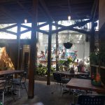
We got there – it was called Fuel – and it was an old gas station that had been slightly modified to make it a happening place.   The patio out back was the nicest patio I have ever been to.   A couple different levels,  a high roof above for shade.  A perfect place for us and the pups.   There weren’t many folks there as it was pretty late for lunch on a Monday afternoon, but the food was amazing.  I had a cup of sweet corn bisque and a jerked chicken sandwich.  The corn bisque was the best soup I have ever had, hands down.  The jerked chicken was pretty good, but not to the scale of the soup.  Kathy had the sauteed shrimp salad.   She said it was outstanding.   And this, from a dog friendly restaurant app.   Hard to believe our luck.   If only we had found that app 4 months ago.   Geez!

Heading to Savannah tomorrow morning.


Washington D.C.

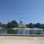
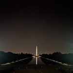
We drove off to see D.C.  as our planned next stop, Cape Hatteras, was about to get hit by Maria in a couple of days.   We camped at Cherry Hill Park in College Park, Maryland.   It turned out to be another really nice park.    We ended up staying 5 nights.  Originally I had only booked for 2.    We drove into D.C the first  morning as I wanted to visit Arlington National Cemetery, but when we drove up the guards said no dogs.   What a bummer.  I then drove over to the Lincoln Memorial, but there isn’t any parking near it.   We then drove up along the Mall for a bit and found some parking fairly close (relative term) to the Capitol building and took some pics, walked the pups.   And Kathy wanted to walk to the Washington Monument, but I balked as it looked pretty far and it was already very hot and humid, and my knee wasn’t that good yet.  As we drove down there, she exclaimed that it hadn’t looked so far,

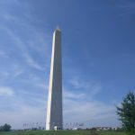
It was the first hot, humid day we experienced on the east coast for some odd reason.   We found a spot to park not too far from the monument and hiked over.   It was closed till 2019.  Seems it needs a new elevator.   Took a few pics and headed back to the car before the parking time ran out.  We then headed back out to College Park.

The next day we attended a meeting where they explained how to get around in DC and tours that are available.   It was a pretty informative meeting where they fully explained how to use the public transportation (buses and subways)  where to get off, etc.   They also talked about guided tours, and we decided to take one of the night tours thinking it might be a bit cooler then.   It was actually fun and we got to see a lot of things I didn’t even know were there.

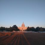
First stop on the night tour was back to the exact same place we had parked to get some pics, just as the sun was going down.  It was pretty cool as the capitol building looked golden in the setting sun.

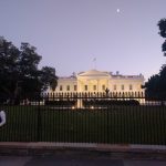
After that we went to the White House to see if we could see Mr. Combover in a window.   There were a lot of armed guards there, all carrying machine guns.  I will have to look up what they were from this picture.   The guide explained that recently they added more spikes to the top of the fence around the White House lawn.   You might be able to see what looks like sharpened pencils between the big arrowheads.


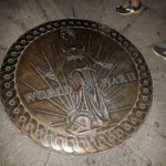
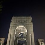
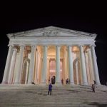
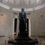
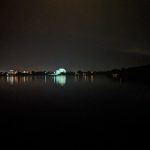
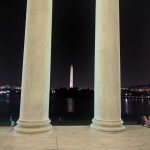
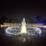
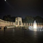
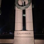
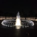
We then headed over to the WW II memorial which was a very impressive place I didn’t know existed.  Afterward they drove us to the Jefferson memorial.  Not sure why they parked so far away, but it was quite a walk to the entrance by the road, and then we needed to hike 3/4ths the way around to the front.   It was another nice spot and lots of steps to test my knee on this beautiful, warm, humid evening.


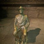
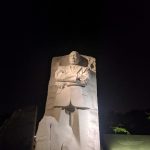
From there we went to the FDR memorial and walked along the Tidal Basin to the Martin Luther King memorial.   Both of those were also impressive in their complete difference to the grandeur of the Jefferson memorial.


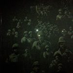
We then got bused over to the Korean War memorial, which was kind of a haunting place with all the faces of the solders carved into the walls, and the center has sporadically placed solders on patrol sculptures.


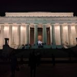
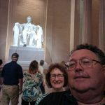
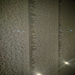
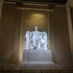
Then a short walk from the Korean memorial, and 87 steps up the front of the Lincoln memorial (4 score and 7)   Those really tested the ole knee,  was wondering what it would be like going down them.   After getting a bunch of pics there, I decided to find a railing for the hike down them.   By the time I was at the bottom, my knee was fully “done”.    Luckily we only had to stroll over to the Vietnam memorial and then a short walk to the bus for the ride home to be back by 11:25.

I had installed an inside camera so Kathy could watch the dogs while we were gone.  It has a mic and speaker so we can hear them if they are barking.   We couldn’t see them most of the times we looked as I think they were sitting in the stairwell looking out that little window on the bottom of the door.  [Not fun to know they were crying and howling while we were gone 🙁 ]


Eastern Shore of Maryland

We left Philly to camp near Assateague Island so we could see the wild horses.   We were pleasantly surprised how nice the campground was.  It had “resort” in its name so I assumed, like most of the others with that in the name, it wouldn’t qualify as a Resort.    But It did and it was a really nice place,  paved level sites with grass all around, a short walk to the Tiki Bar on the beach.  Kathy even approved of the bathrooms and laundry.  That’s been a  tough review since we’ve been traveling.  They even had a beach for the pups to play on.

What I thought was odd though was the quantity of golf carts in use.   This place rented them.  When driving up I thought we were at a golf club as there were at least 50 carts lined up in front of the office.   After a day or so and it got closer to the weekend, there were golf carts everywhere.   No one walks at the Castaways Resort…  I kept thinking about LA and the song about no one walks in LA.

The only drawback to this campground was the whole place was only about 6″ above high tide, probably due to Hurricane Jose still being offshore.  It made me think it could be a really bad spot if there was a full moon during a high tide.

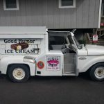
Right down the road, on the way into Ocean City, I spotted this beauty in front of a restaurant.  I just had to get a picture, I hadn’t seen one of these trucks since I was about 10 years old.   They used to be around our neighborhood a couple times a week in the summer.


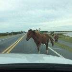
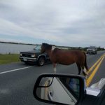
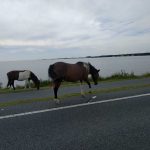
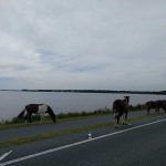
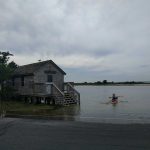
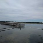
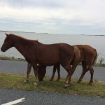
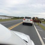
We drove over to Assateague Island to look for the horses.   There was a greeting committee; but after them, we saw no more horses, only lots of reminders they were all around.    The island is another low place and the water from the sound was very high.  You can see in some of the pics down below, things that shouldn’t be underwater were.    We were allowed to bring the pups out to the beach area here also.  Lots of big waves on the ocean side of the island.

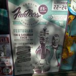
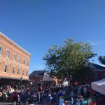
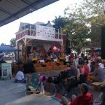
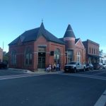
The next day we drove the hour to Chincoteague Island.   What a dog unfriendly place that was.  And we did not see any signs of the Chincoteague Ponys either.  We did get some tasty Mexican take-out from a small trailer on the side of the road…    Thankfully the day wasn’t a total bust as we found the Berlin Fiddle Convention happening on the way back to the campground.   Quite a nice small town, surprisingly sans any empty storefronts.  That has not been the norm anywhere we have been while on this trip.   Most of the small towns had mostly empty storefronts on the main streets.

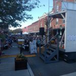
We arrived late in the afternoon, so a close-in parking space we found without any need for searching.   Turns out Berlin was a dog friendly place, with lots of them walking their owners.   They had closed off the main street and folks had just come for the show with their chairs.   There were lots of small booths selling trinkets, food and beer.   I found a beer right away as it was fairly hot in the sun.  Next thing was to find some shade, luckily it was also readily available.  Kathy perused the booths and I sipped a pretty good local brew.   The fiddling wasn’t bad either.

Philly

We drove down to Philly on a misty Monday morning, just a short trip of about an hour or so.   We were staying in the middle of downtown Philly at a Campus Park and Ride that had RV parking with water and electric and a 7,000 volt fence to keep the rif-raf away from the US Customs lot next to us.   As the place was located on Google Maps in a place called Forgotten Bottom, I was very conscious of Hurricane Jose churning off the coast.   We couldn’t see the river, but knew it was not far on the other side of some dense brush.

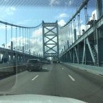
Then next morning we headed toward the old town and Freaking Google Nav   took us back into Jersey and we had to pay the $5 bridge toll again to get back into Philly to reach destination.   Glad we weren’t in the coach as I looked at my Ipass account and it was $30 to cross that bridge with 4 axles.

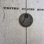
We located a parking place next to the US Mint, paid the parking machine and put our stub on the windshield showing we paid for 2 hours.  (the max)   I hobbled in the Mint with my crutches and did the self-guided tour.  Unfortunately, you are about 40′ above the mint floor and all the machinery looked the same.   I had to consult the pictures on the boards to know what machine was what.   I couldn’t pick out a sorter from a die press.  They were all housed in similar blue metal boxes.   I was kind of underwhelmed from what was visible.

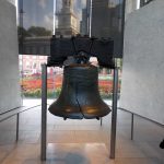
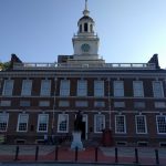
After I spelled Kathy with the pups so she could take the tour, we walked to the Liberty Bell,   It was nearing closing time and we did the whirlwind trip thru the building.   Right next door is Independence Hall, and just down a ways further was Carpenters Hall where the Declaration of Independence was signed.   Then it was off to find the car as our 2 hours were just about up.


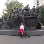
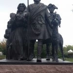
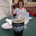
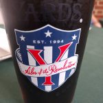
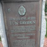
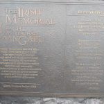
The second day we drove into downtown without revisiting NJ to find a Philly Cheese Steak place I scoped out.   They had some outside tables, so the pups could dine with us, and the sandwich was pretty good.   After lunch we walked toward Penns landing and found this small park with monuments to the Irish Potato Famine and a Scotts’ memorial too.   While there it started to rain, so we walked up a few alleys to find the City Tavern for a brew.   It looked original inside and out, but I believe I read that it was a reproduction.  The beer was good and they brought out a pie tin with some water for the pups.

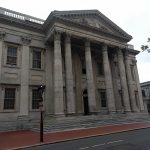
The rain soon stopped and we walked out looking for our car.  We walked past the first Bank in the US and snapped a pic.   It was time to head back to the coach and find a place to stay for the next day.  We were done with Philly.   Kathy thinks it’s the dirtiest city she has ever seen.  I guess she forgot what Tijuana looked like.


Jersey Shore

Our first full day there we decided to take a drive around the old neighborhood.   On the way we stopped at Delicious Orchards,  which I remember as a small farm stand we used to buy fruit and produce from as a kid.  Now it’s massive.  I couldn’t believe how much produce and fruit they have now.    I have not seen anything like it anywhere.  Kathy was impressed too.  And we thought there was a lot of choices in Cali!
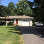
We then drove over to the old homestead and around the neighborhood.  It’s amazing how different everything was.   I thought the trees were large when I was young, but now they are giants.   The big hills I remember as a paperboy look like flat ground now.  The downtown of my little town still seems the same but with different stores.  My favorite sub shop was still there.   Hard to imagine Joyce is still alive.

After driving around the town, we drove to the farm I worked on as a teenager.  It’s now a county park equestrian center.   Very few of the original barns are still there.  Only the big house,  the 5-car detached garage, and the horse barns are still standing.   In place of the others were a lot of brand new, low-slung barns.   I still find it hard to believe they tore down the old hay barn.  It was gigantic and built with hand hewn huge beams using only wooden pegs to hold it together.   It must have been from the late 1700’s similar to when the main house was built.

They also had redone the roadway that used to have a couple of sharp turns and one particularly nasty intersection on a blind hilltop curve.   I cannot remember how many mornings, mostly Saturdays, that I was out there digging up the snapped-off thick oak posts and putting up replacements after someone over or under-corrected on the curvy road coming back from some bar late at night.

We drove out to my old high school and on the way passed my old Jr high at the corner of Nut Swamp Road and Middletown Lincroft Rd.  (Wasn’t there a Springsteen lyric about the swamps of Jersey?)   It was still a long drive to my old high school.   The HS was letting out the students so it took a bit to get by it.  The traffic on those small roads and numerous new traffic lights made me glad I live in SD where there are freeways without traffic lights and they go practically everywhere.

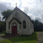
On the way back to the coach, we passed the old Sears store where I worked nights after school,  It was all brick when I was there.  It looks like they have painted the brick white since then.  We also drove past the little church where I had my confirmation, St. Catherine’s.  It looks awful,  hard to imagine it’s still standing.  Appears the Historical Society owns it now.  Then back to the middle of nowhere to our campsite for the night!
I let my NYC knee injury heal for a few days and then headed out for another sight seeing day.   Took Kathy thru Fair Haven, then Rumson, and on to Seabright to see if my first apartment withstood Sandy.  It had,  but the gas station that had been in front of it was gone.   We then drove north toward Sandy Hook.   Checked out Fort Hancock, which had been an old Nike missile base protecting NYC back in the ’60’s.    When I lived here, you weren’t allowed on the base.   Now you can drive all around and see lots of buildings in various states of abandonment.

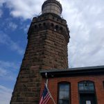
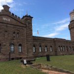
There is an old Cannon and a few stacked cannon balls which looked to be about an 18″ bore.  I had never seen one that large before.   We missed finding the lighthouse, not sure how but we did.   Then on to Twin Lights.   I decided not to push it and didn’t climb up to the light.  (not sure how the crutches would work on that spiral staircase)  Kathy went up.  Nice view from up there, as was the view of Sandy Hook and NYC from the front lawn of the lights.
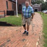
After wandering around the lights for a bit, we made  our way down to the little town of Highlands.   It appeared to have taken a direct hit from Hurricane Sandy.    It’s a really low lying area with lots of older homes that are maybe one foot above the high tide mark.    Not a good thing when a storm surge of 17 feet rolls thru.   I have never seen so many homes either raised 15′ or in the process of being raised.  That storm hit back in 2012, not sure where all the folks lived for what must have taken years to rebuild.    I am thinking the town’s name, Highlands,  is very misleading.   I just looked up an article on Highlands and of the 1,500 homes there, 1,250 were destroyed.  (Highlands is a very very small place on the waterfront)

We visited Downtown Freehold with the family for a Mexican dinner at El Meson.   Pretty good fare.   I don’t think I had ever stopped in Freehold before,  but our campground was not very far away.

After viewing the Sandy Hook area, we headed back down the oceanfront back thru Seabright, Monmouth Beach, and into Long Branch to look for my old garage apartment.  It was still there on Bath Ave next to the railroad tracks and LB train station.   Took a quick drive thru west end looking for the Inkwell, but it appears to be gone, although the Brighton Bar was still standing, looking very poor.   Ah, the pinball games we played there.    We found the Windmill still standing, but drove on by as I wanted a Max’s Hotdog.   And to my surprise Max’s was still there,  although it looked a lot different.  We went inside for Lunch.   Amazingly,  they said we could bring in the pups as no one else was there.  It was fairly late in the afternoon for the lunch crowd.

After lunch we headed back to Bath Ave so I could show Kathy the 7′ high underpass that was behind my apartment.   It’s still astonishing to me that they still allow vehicles to go thru there.   If I took the coach there,  the top 5 1/2 feet of the coach would be ripped off.  🙂    We won’t go there.

We headed south for a bit till we found West Park Ave and took it toward Oakhurst to see what happened to a place I had worked just prior to moving to San Diego.  It was still there, but of course, was something else now.   We then drove up past Fort Monmouth and over to Swimming River Road, then back to the swamps of Jersey for the night.
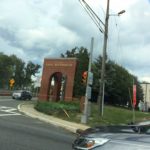
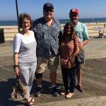
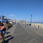
On Friday we headed out for Asbury Park with my brother and sister-in-law for a stroll on the board walk.  (Thankfully it’s still a boardwalk,  not like the San Diego concrete walks they “call” boardwalks.)   Unfortunately, Convention Hall was closed for a private party that day, so we headed back south to find a spot for drinks and appies.   Then crossed Ocean Ave to snap a pic in front of the Stone Pony.  That place has really changed.  It’s almost the whole block now.  Last time I was there, it was maybe 40×40′.   You can still see the original building in the middle of the block with the rest of the new building totally surrounding it.
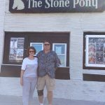
I was sad to see Mrs. Jay’s was gone.   It’s now an outdoor stage area for the Stone Pony.   When we were driving in, I sort of was lost as both Kingsley and Ocean Ave are now two-way streets.   They were one way the last time I was there.
On Saturday we headed over to Ocean Grove for a  birthday party at Christine’s beautiful house.  It was a festive event with lots of ex-Sony folks that I worked with for many years.  I was told that we had to bring the pups or I couldn’t come.. at least I think that’s what she said.  🙂  A great time was had by all!!