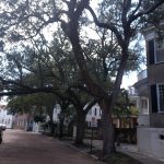
 We drove down from D.C over a couple of days stopping in Roanoke Rapids, North Carolina, for an overnight in a pull-thru. It was a pretty uneventful couple of days till after we drove thru Charleston and onto James Island where we were staying. It got real interesting real fast as we made our way on the smaller roads toward the campground. Lots of very low hanging branches and the trees themselves were leaning into the roadway. I had to drive on both sides of the road in an attempt to miss the thick branches I could see with gouges on them from prior vehicle traffic. The rooftop antennas were doing their Boing Boing Boings as we made our way the last mile or so to the campground entrance. And the Spanish moss hanging on those tree branches gave the drive an eerie overtone while experiencing the sounds coming from the antennas.
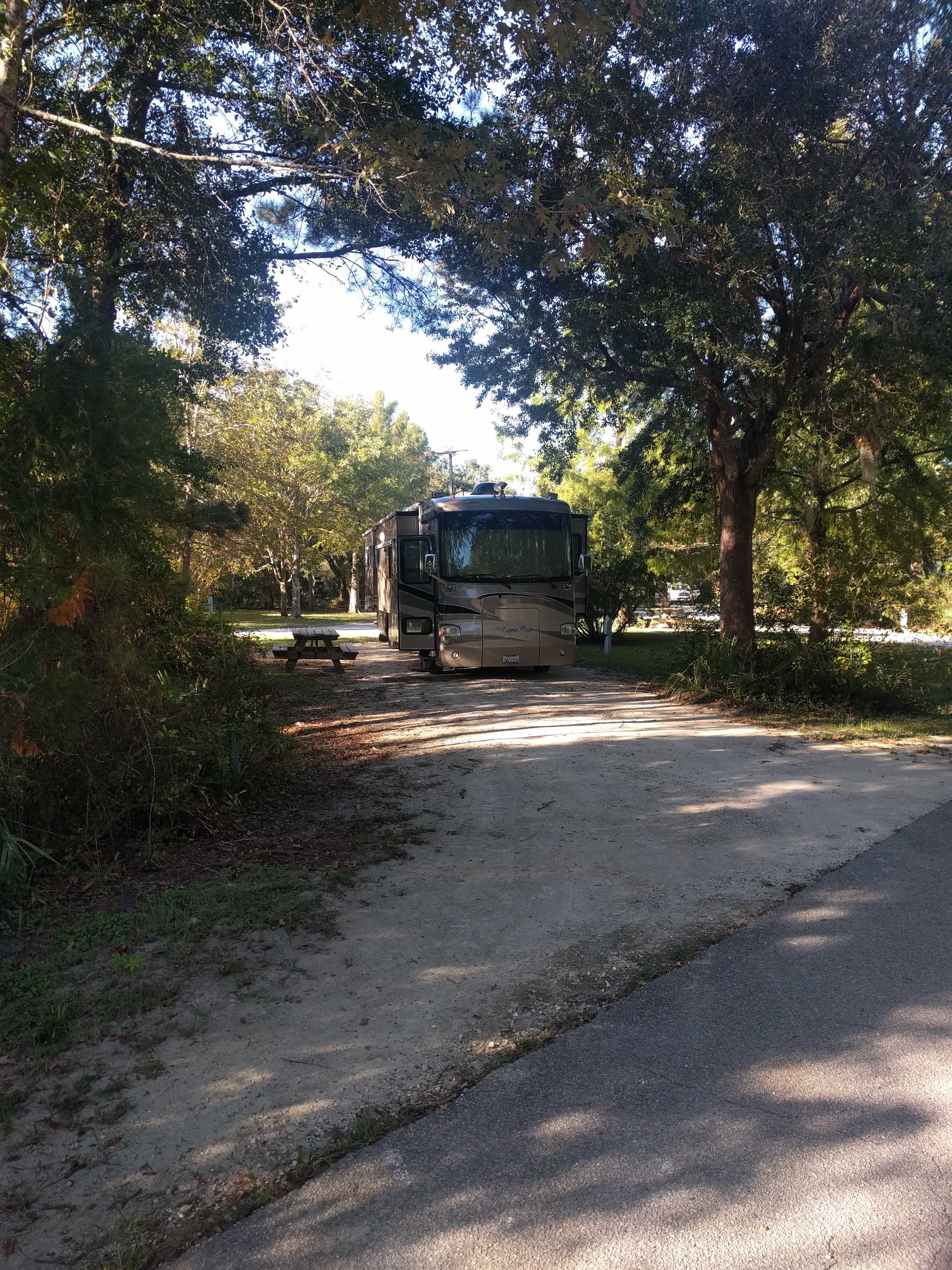
Thankfully once on the campground roadway the branches were all cut back 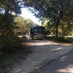 to a decent height. This campground was a very large county park with all sorts of areas to do things. There appeared to be a water park, an outdoor adventure area including a rock climbing wall, lots of fishing spots. There were even crews installing Christmas lights on specially built structures all along the roadway for their Holiday Festival of the Lights, which looked more impressive and much larger than our Del Mar one. They have two fenced dog parks with beaches and a lake for them to frolic in. Kathy wasn’t about to let our pups in the water as the sign at the gate to the dog parks said alligators may live in this area. Not sure why so many dogs were playing in the water if there might be alligators just under the surface ready for lunch.
 We arrived on Saturday afternoon, and on Sunday morning we drove over to the visitor center in town to get a map, then we headed out to procure a parking spot, which we found on the very south end of the city along the water in front of the White Point Garden. It was from there we started our trek into the historic district.
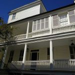
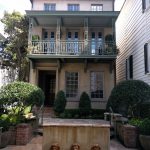
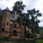
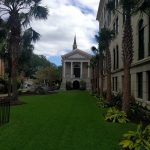
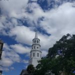
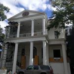
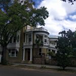
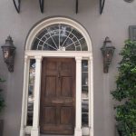
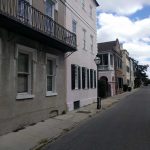
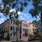
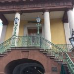
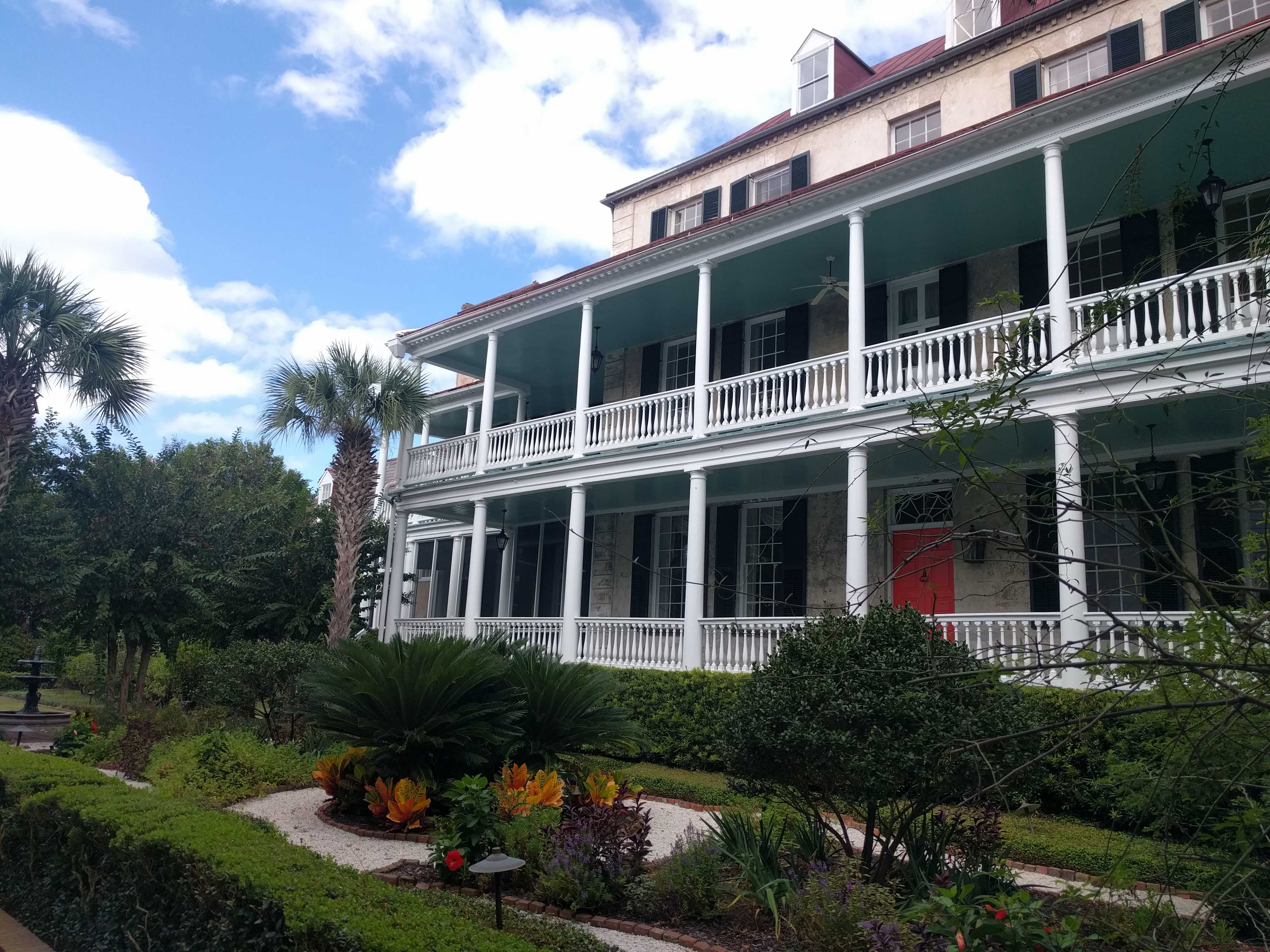
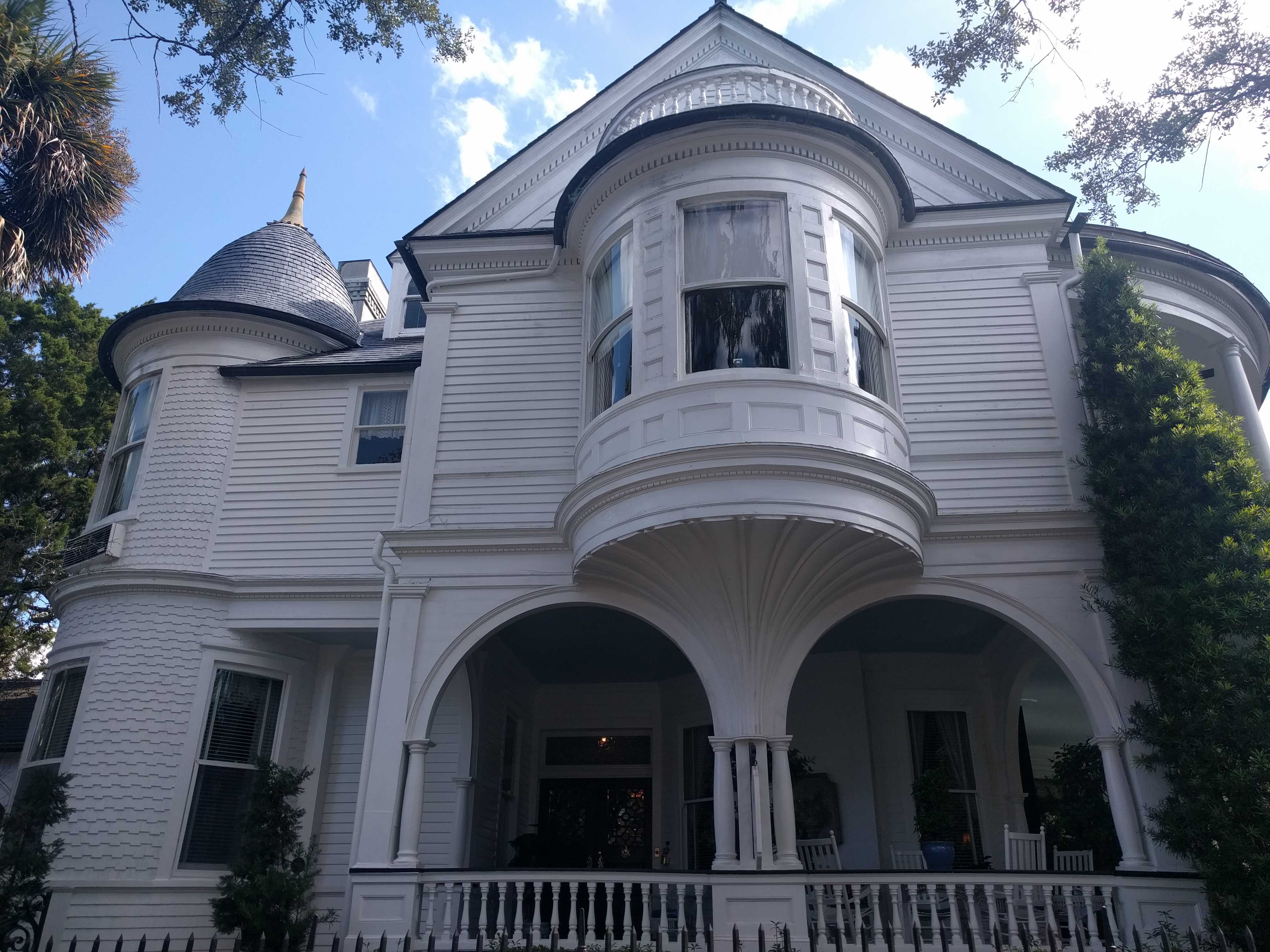
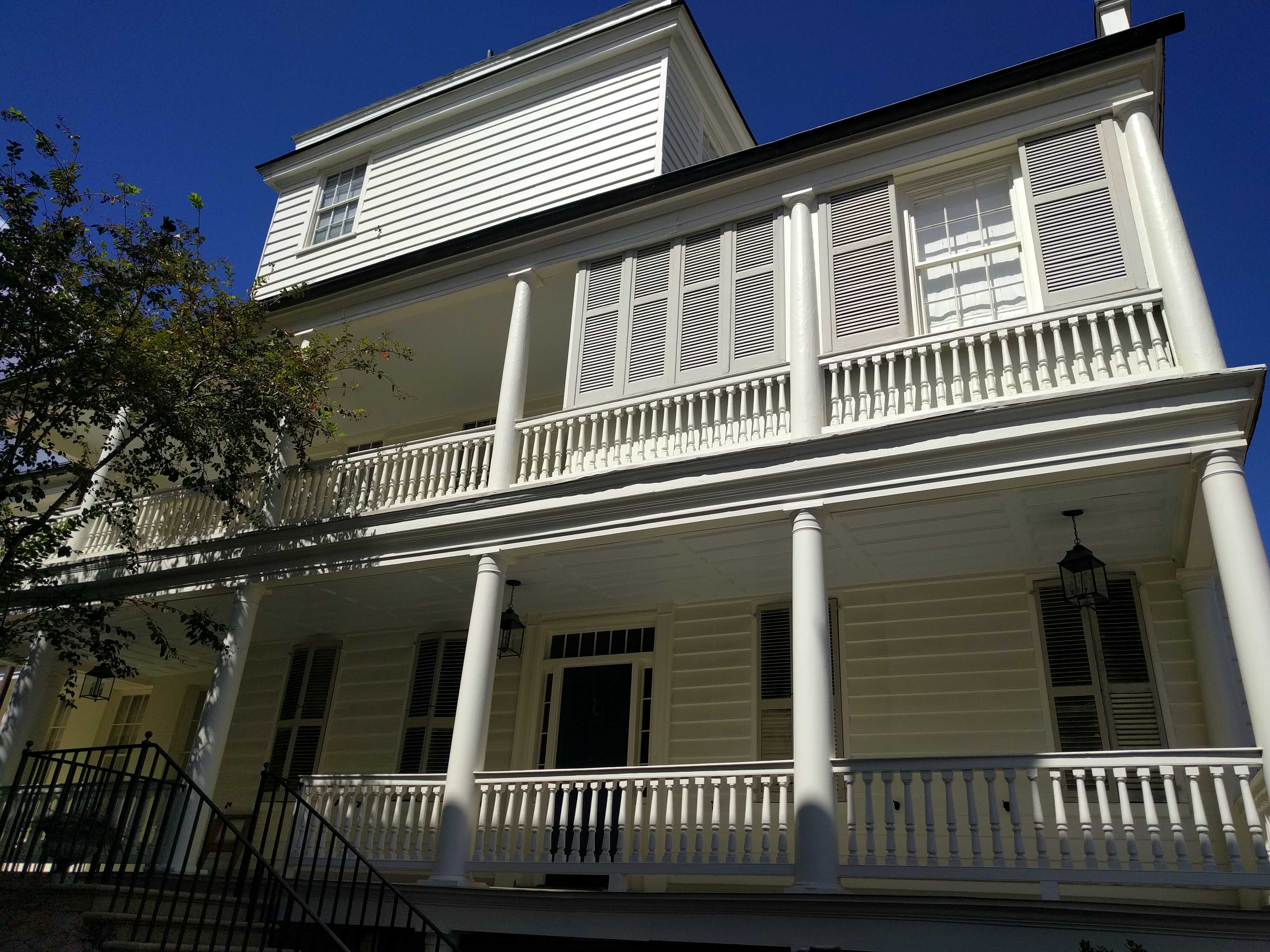
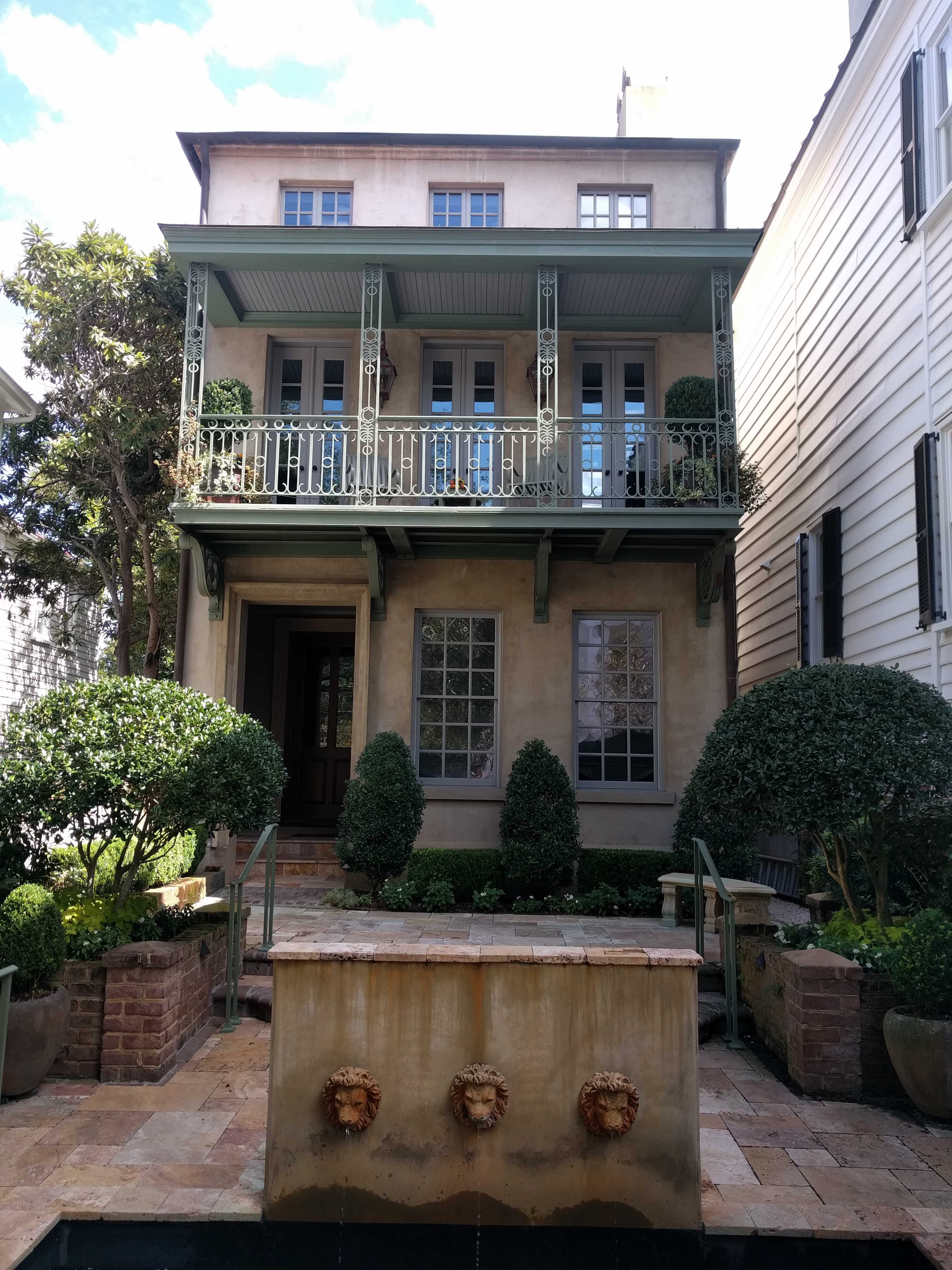
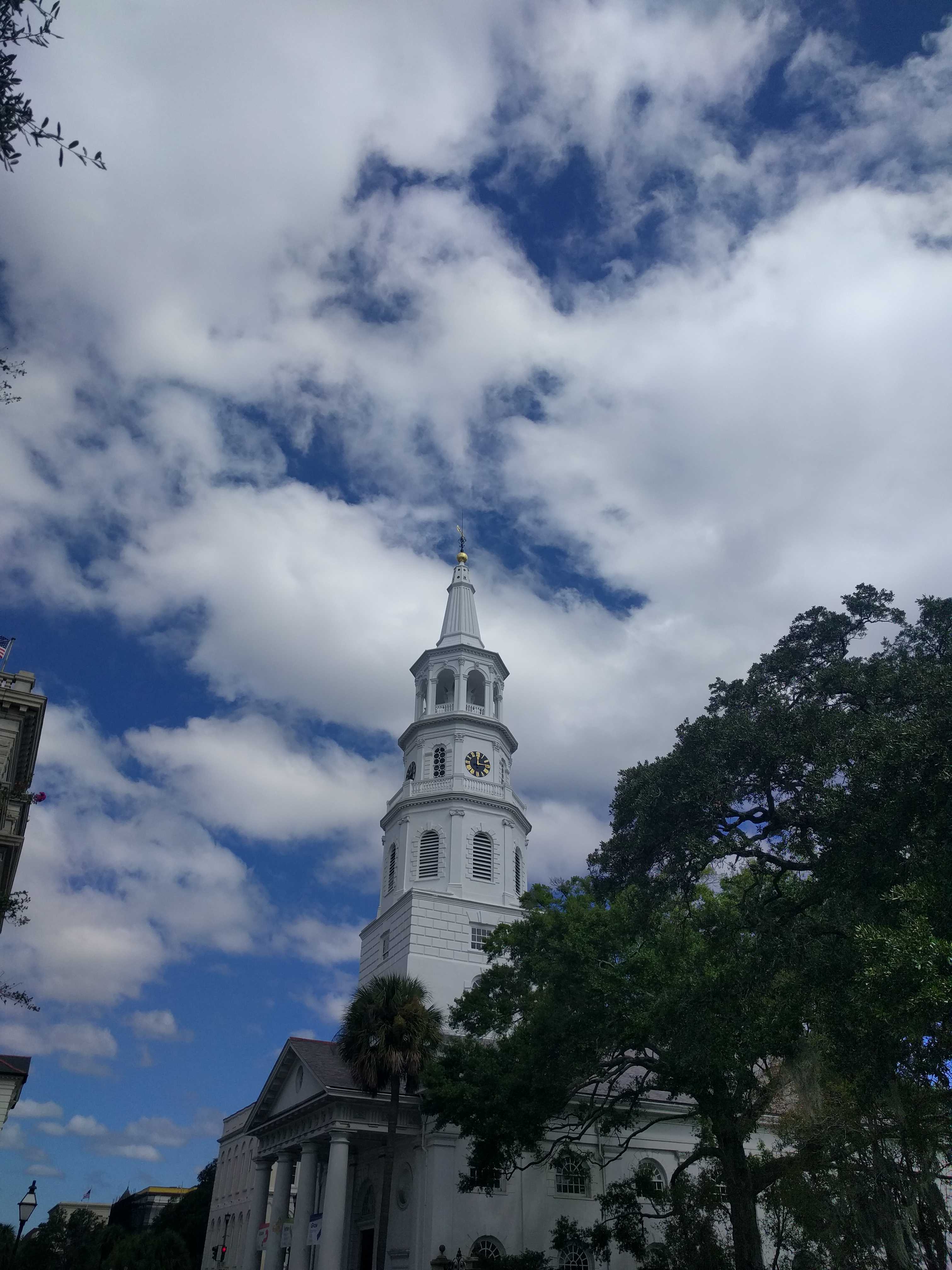
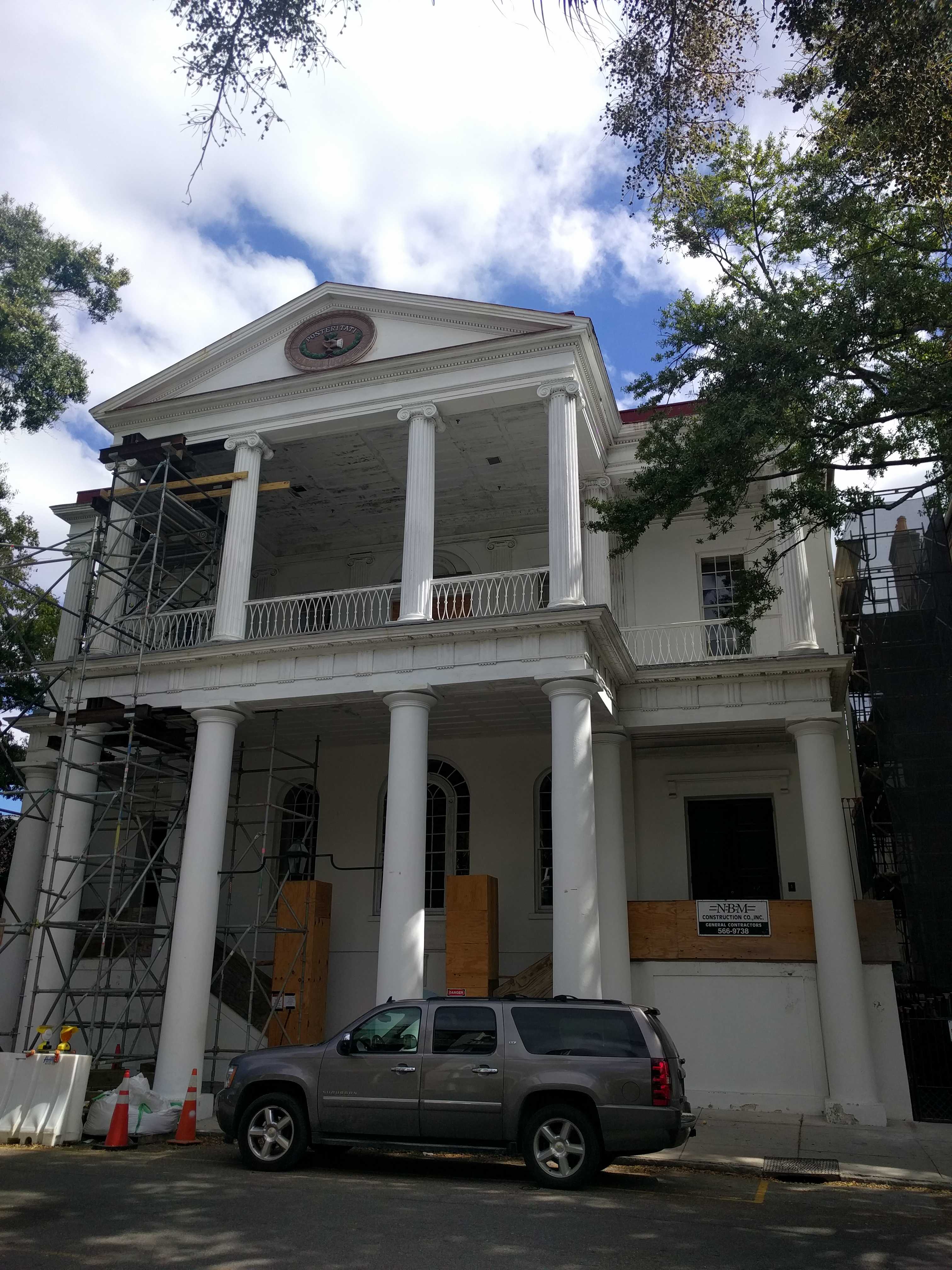
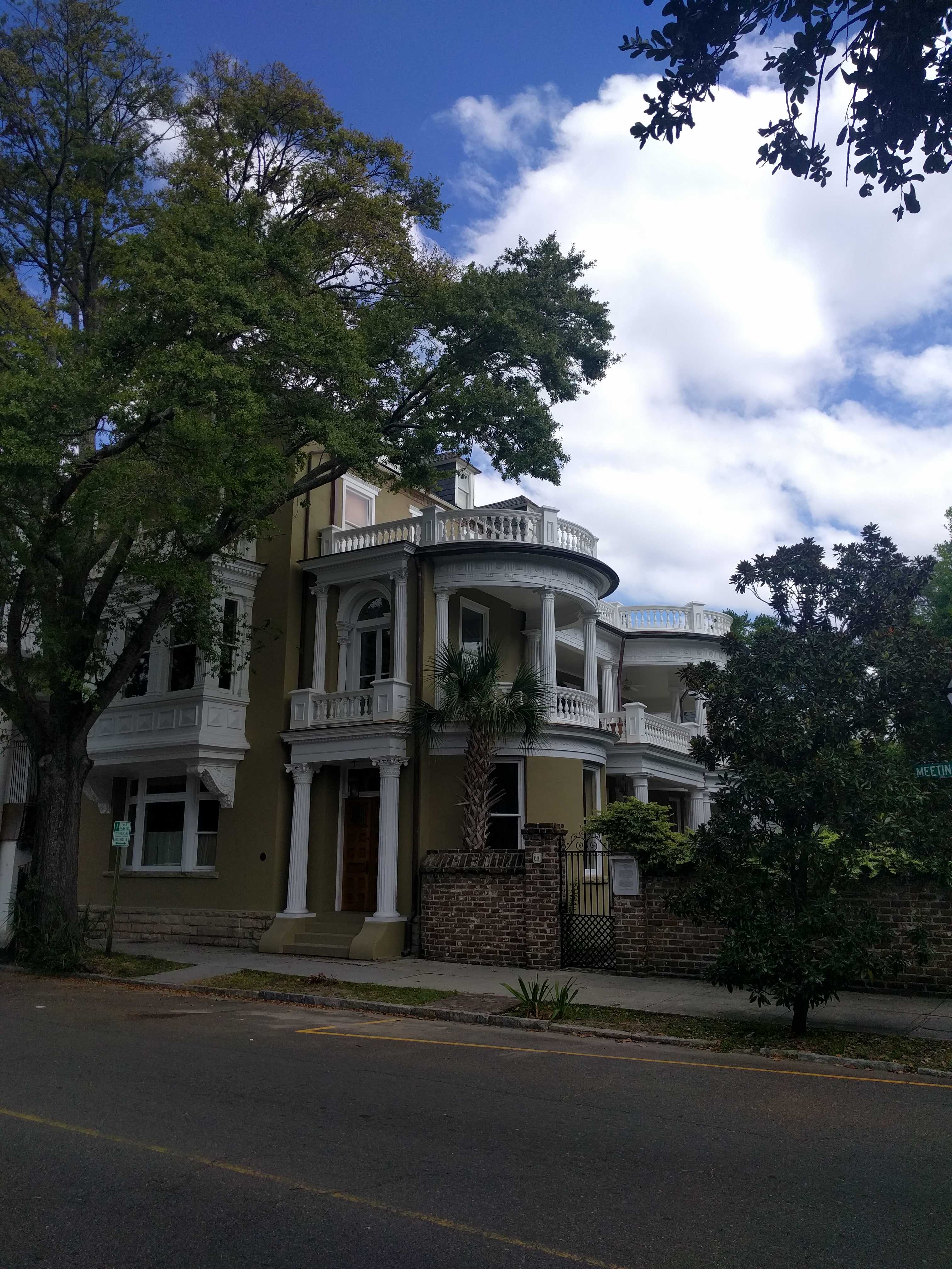
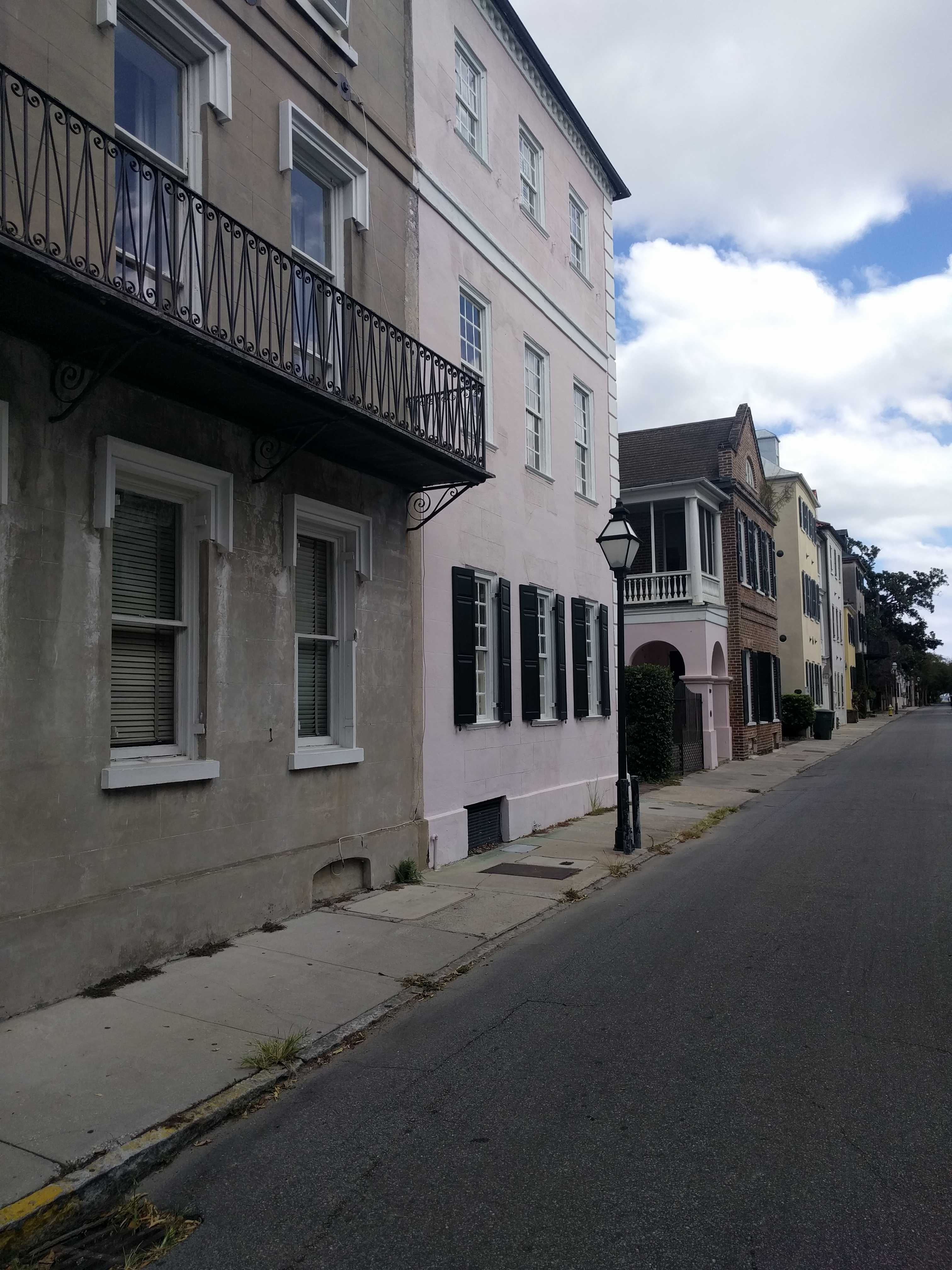
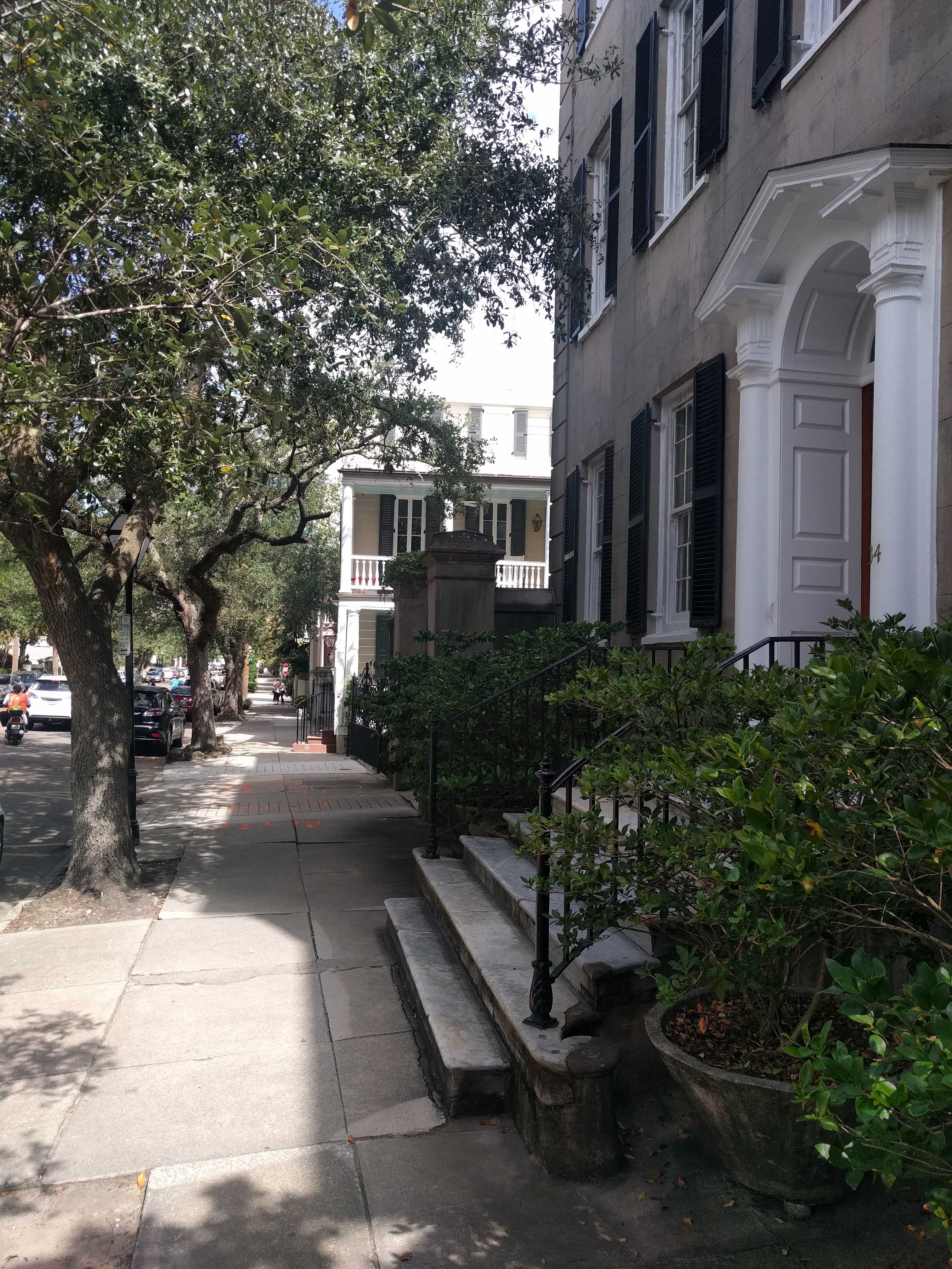
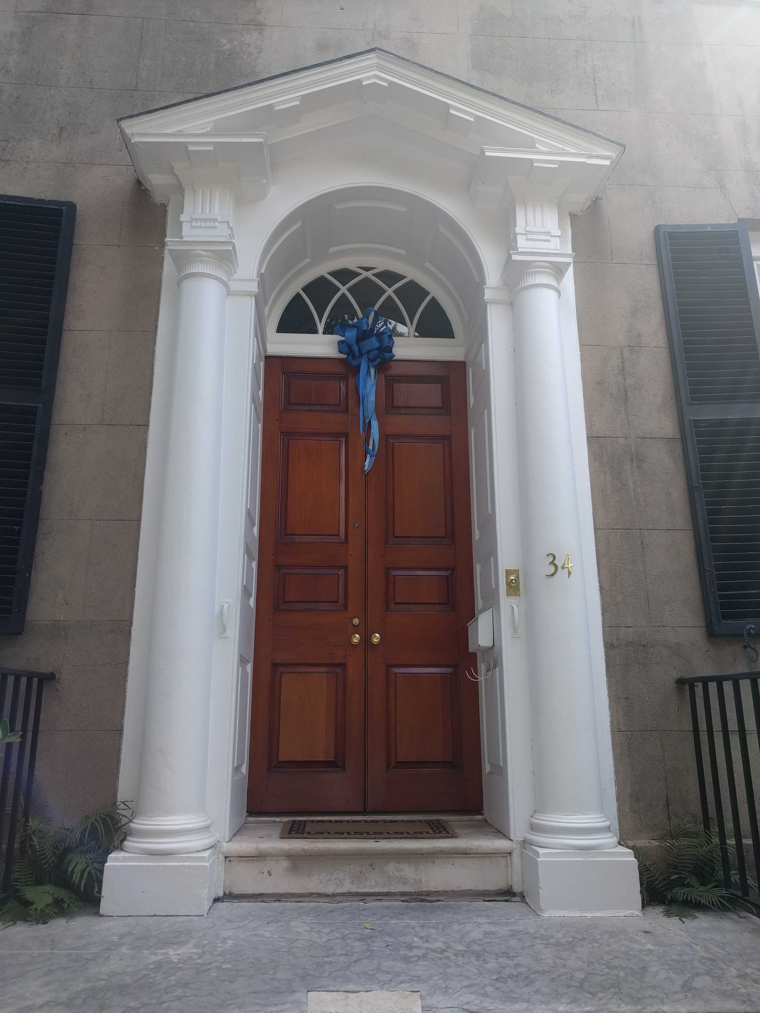
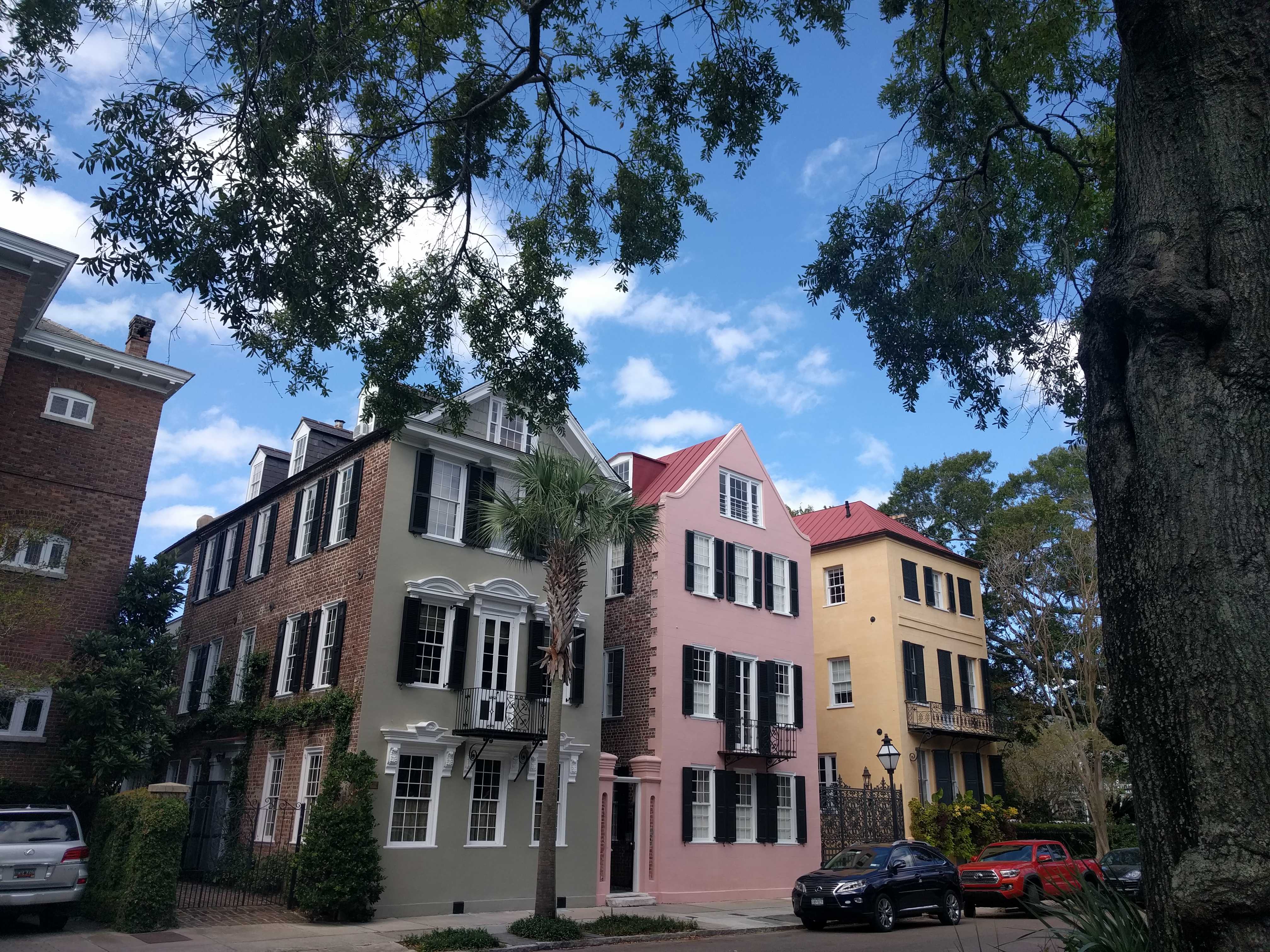
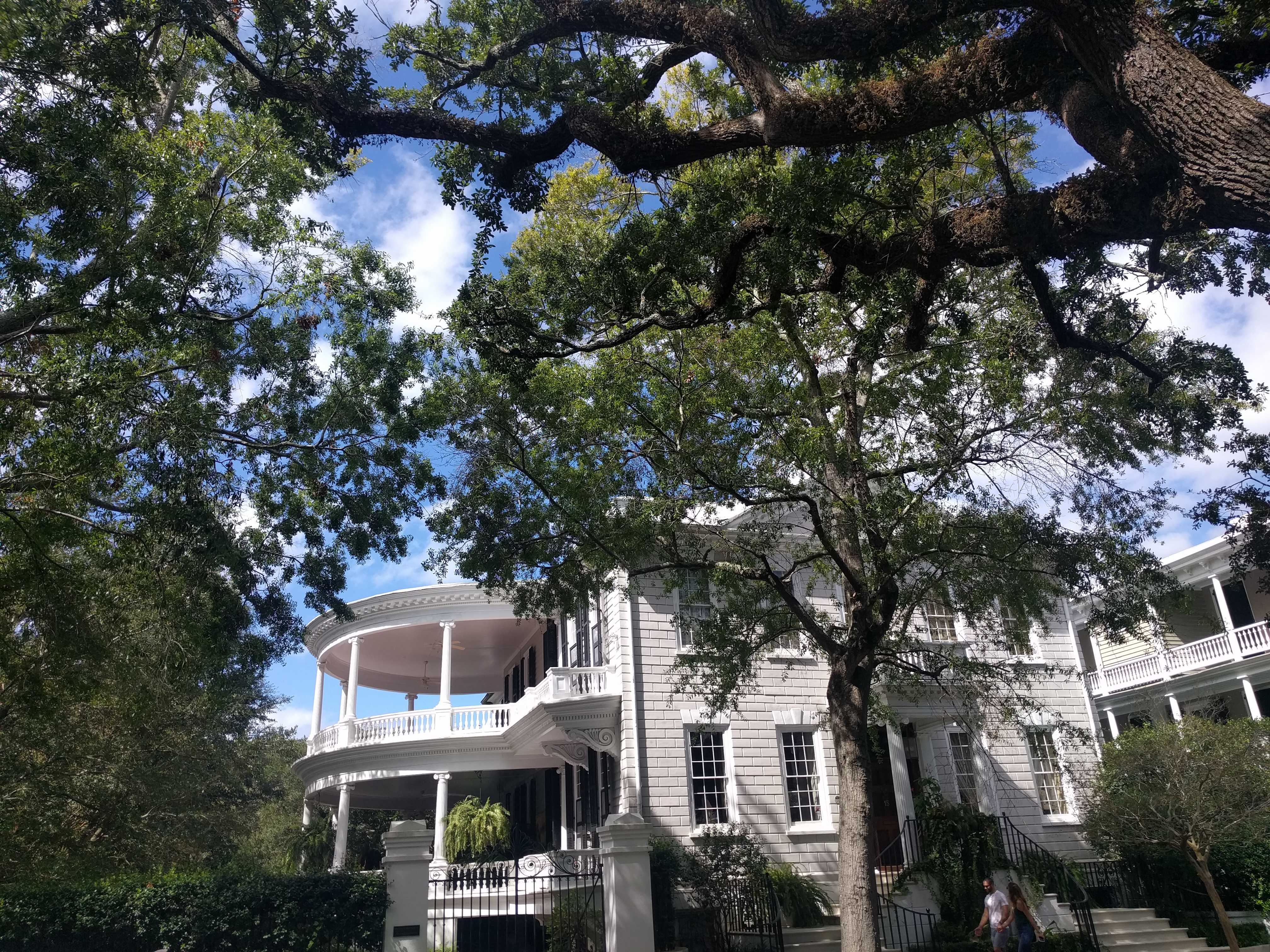
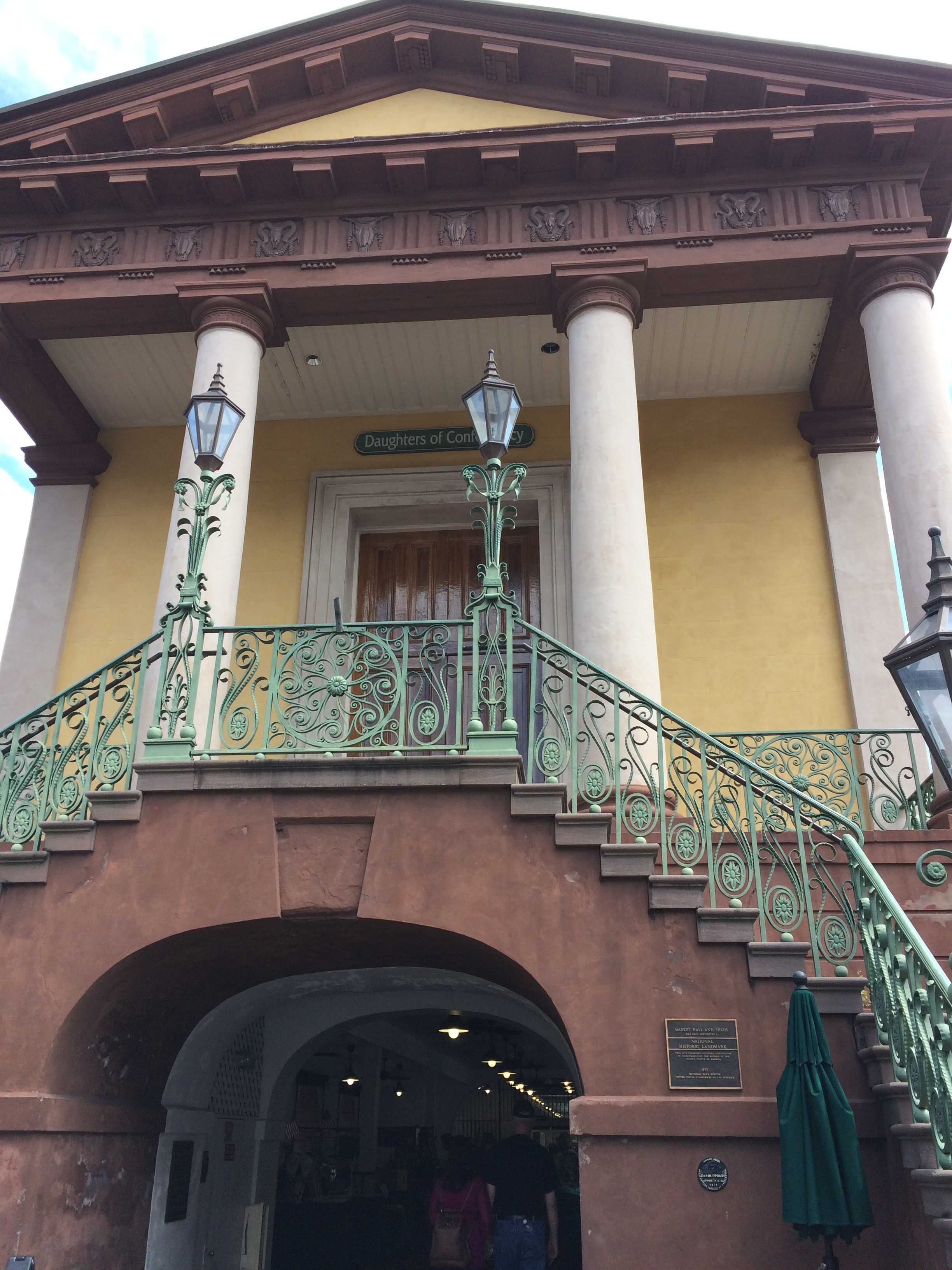
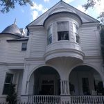
First we strolled up Meeting Street. The houses were incredible. Each one was a little nicer than the last one. All the balconies with 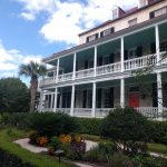 their signature ceiling fans were fabulous. Some of them seem to have painted their balcony ceiling a very light seafoam green, which was strikingly pretty. We made our way north to Market Street where we made a right to peruse the market buildings with all their shops in the middle of the north and south Market streets.
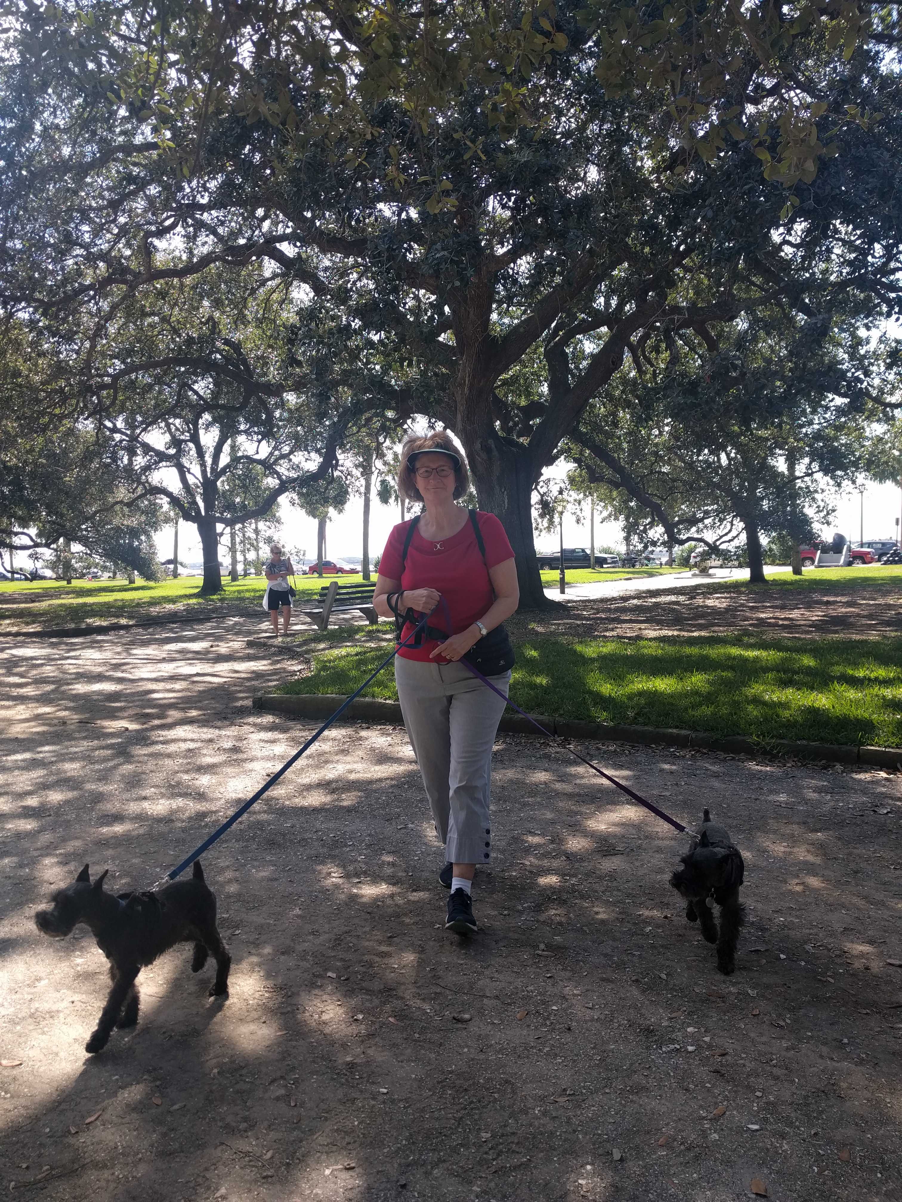
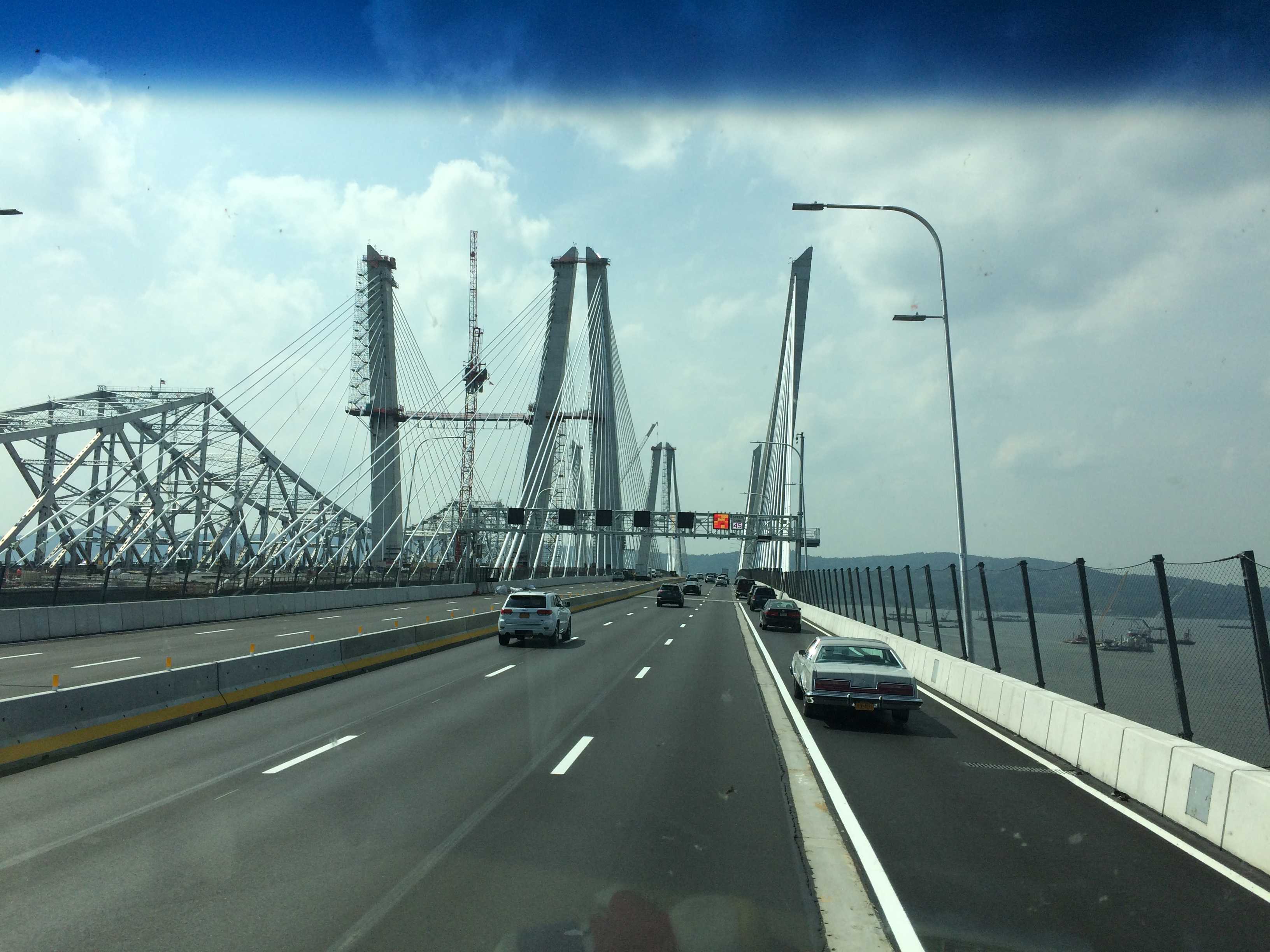
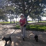
 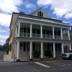 We were going to go down Church Street but decided to walk over to the water near the wharfs and another large park I saw on the map. (Charleston is on a peninsula, water on three sides.) When we got there, it was like a gale was blowing off the water (almost blew the pups off their feet!). Just a hundred yards up Market and there was no wind. Not sure why that was. I remember NYC on a windy day, the streets were like wind tunnels.
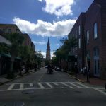
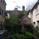
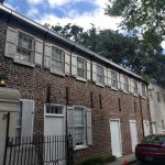
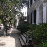
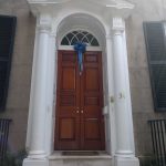
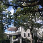
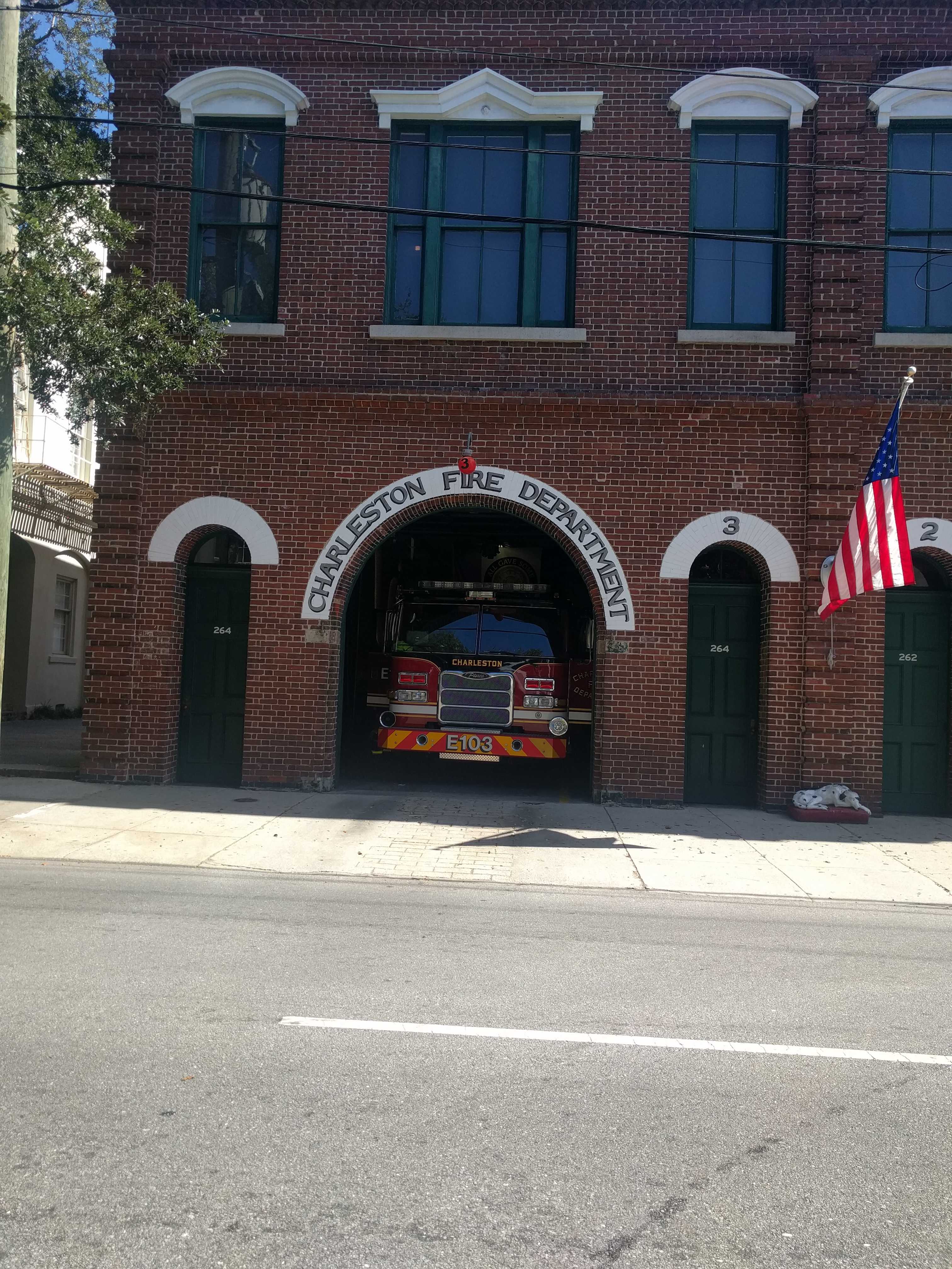
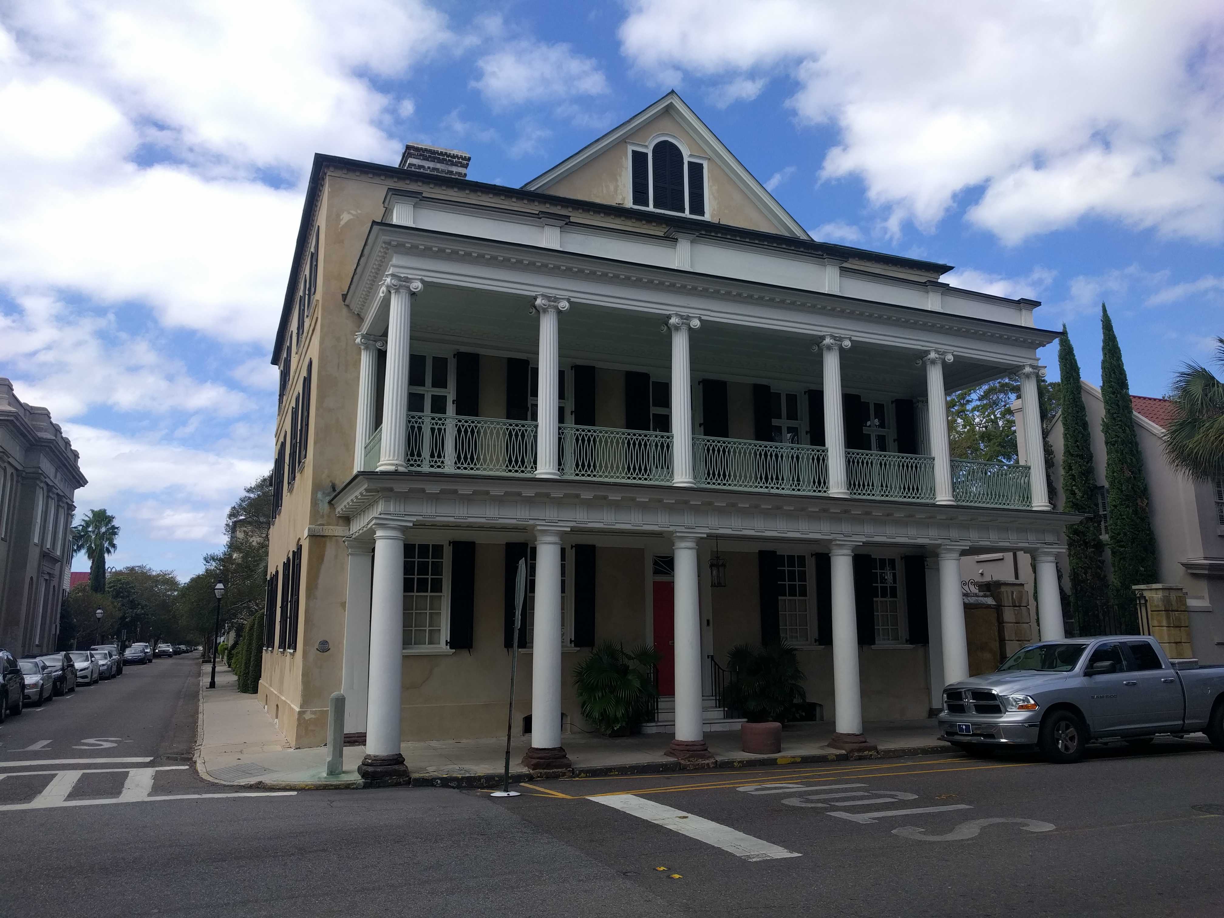
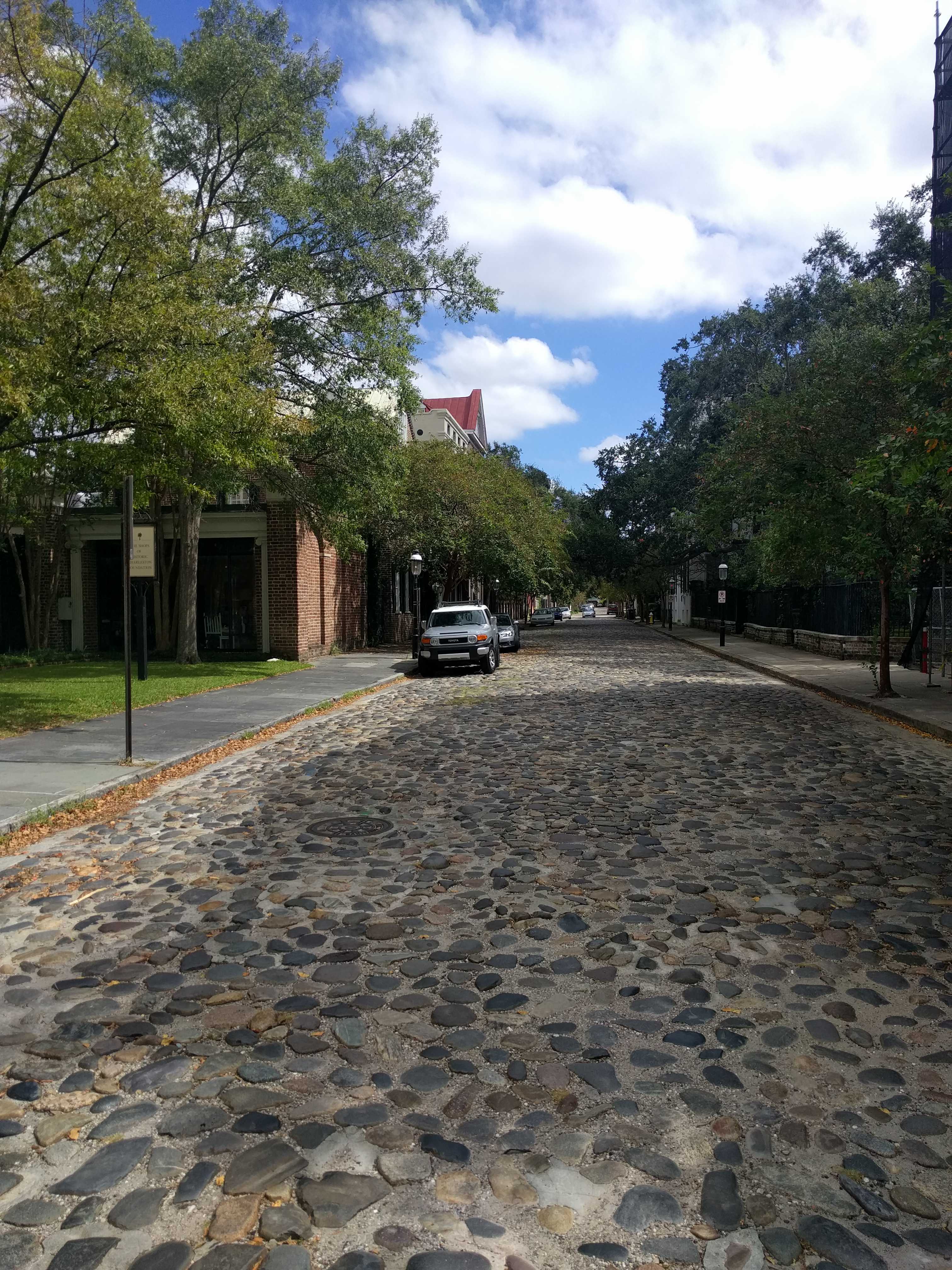
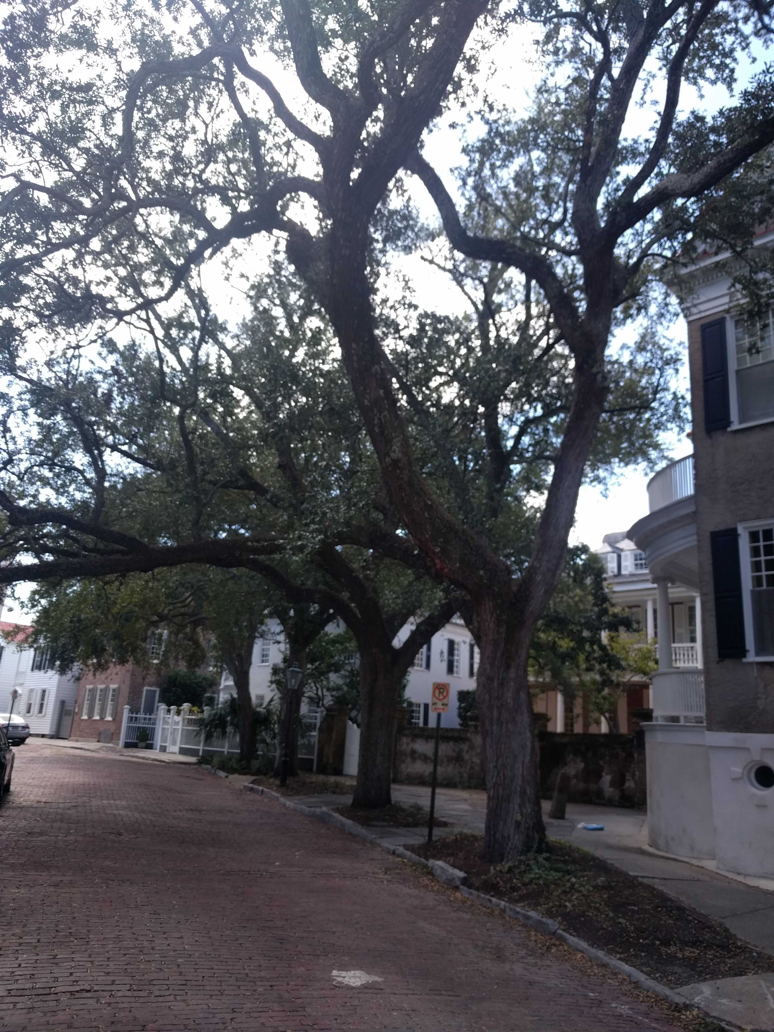
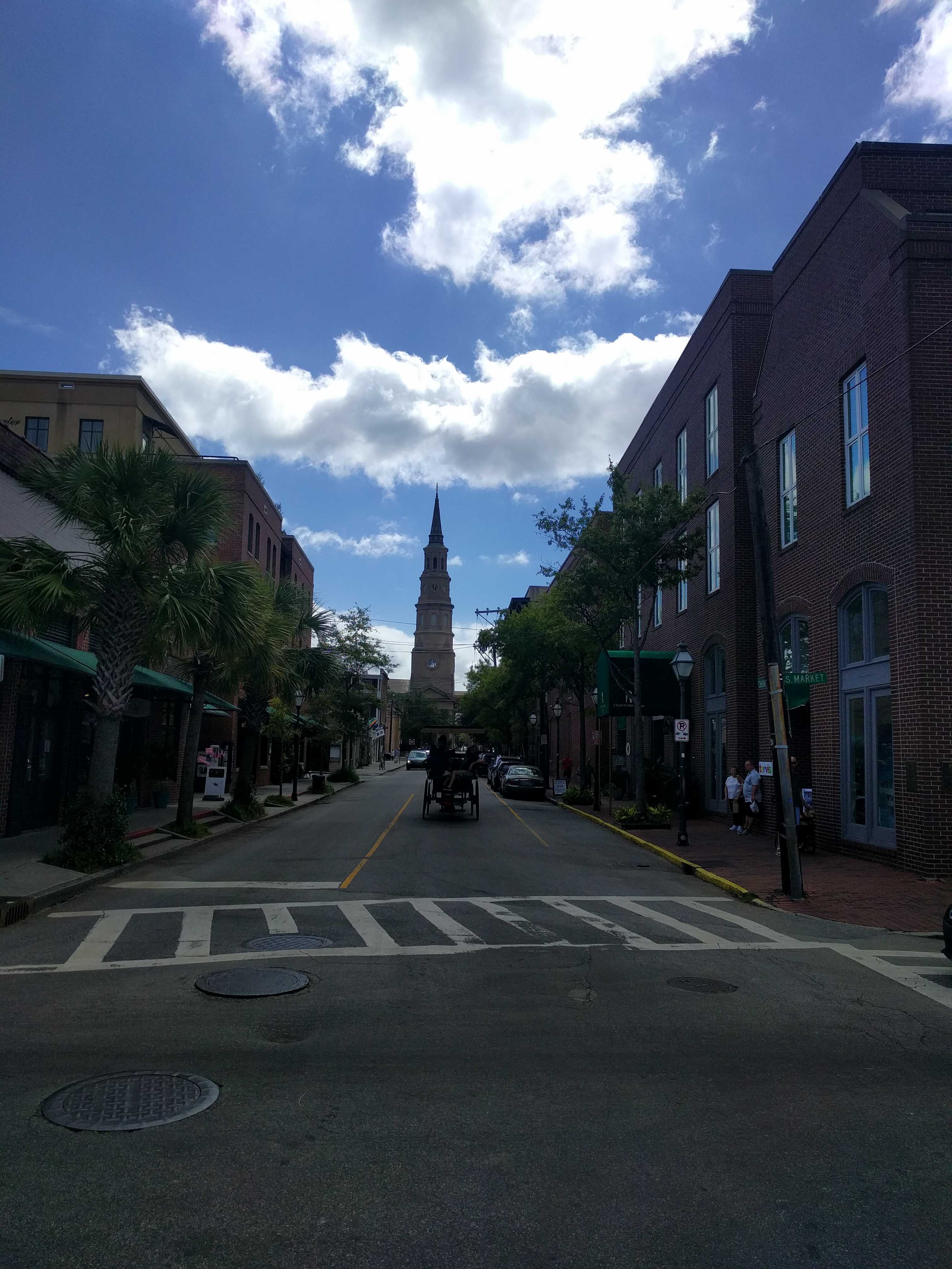
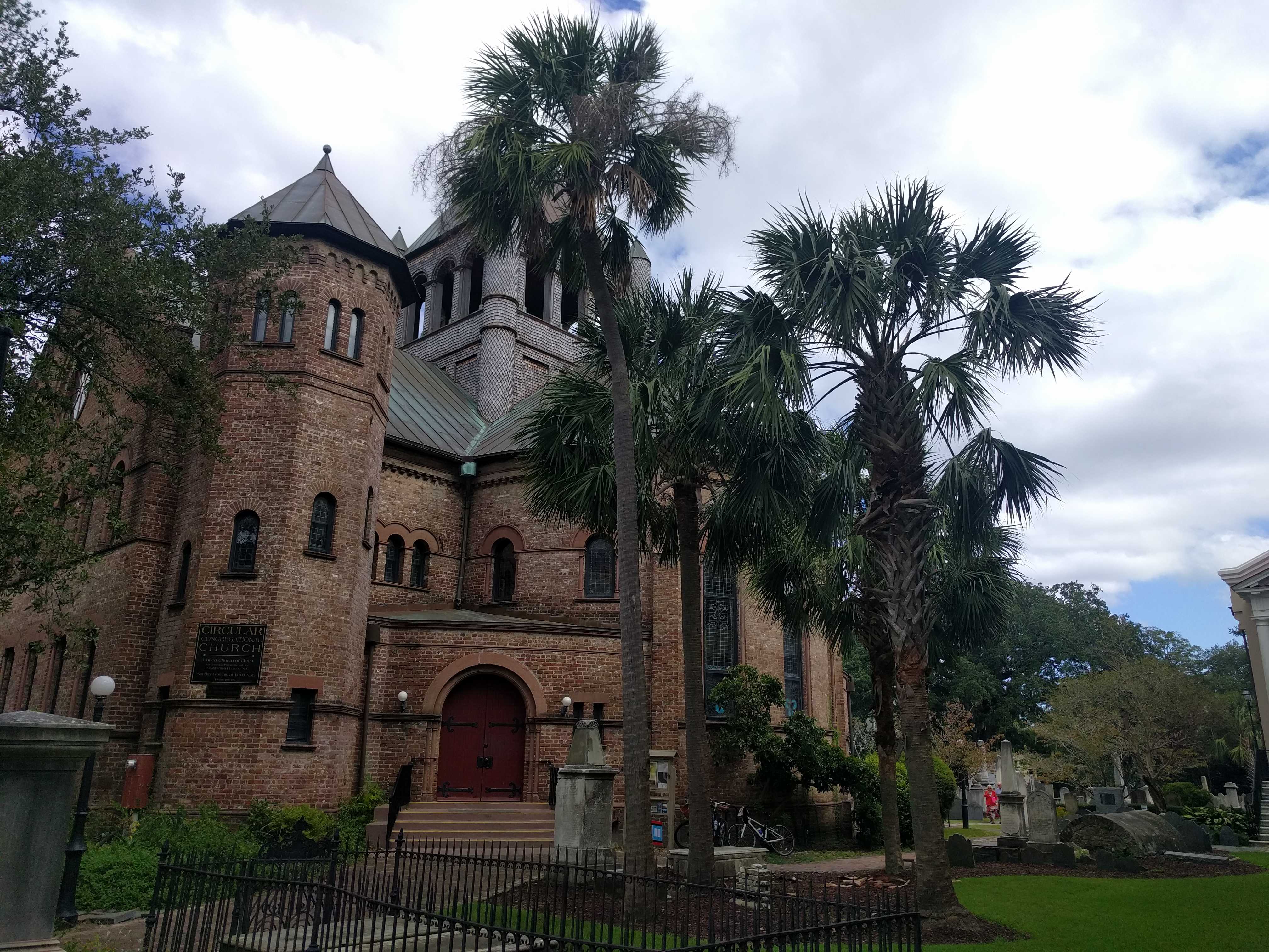
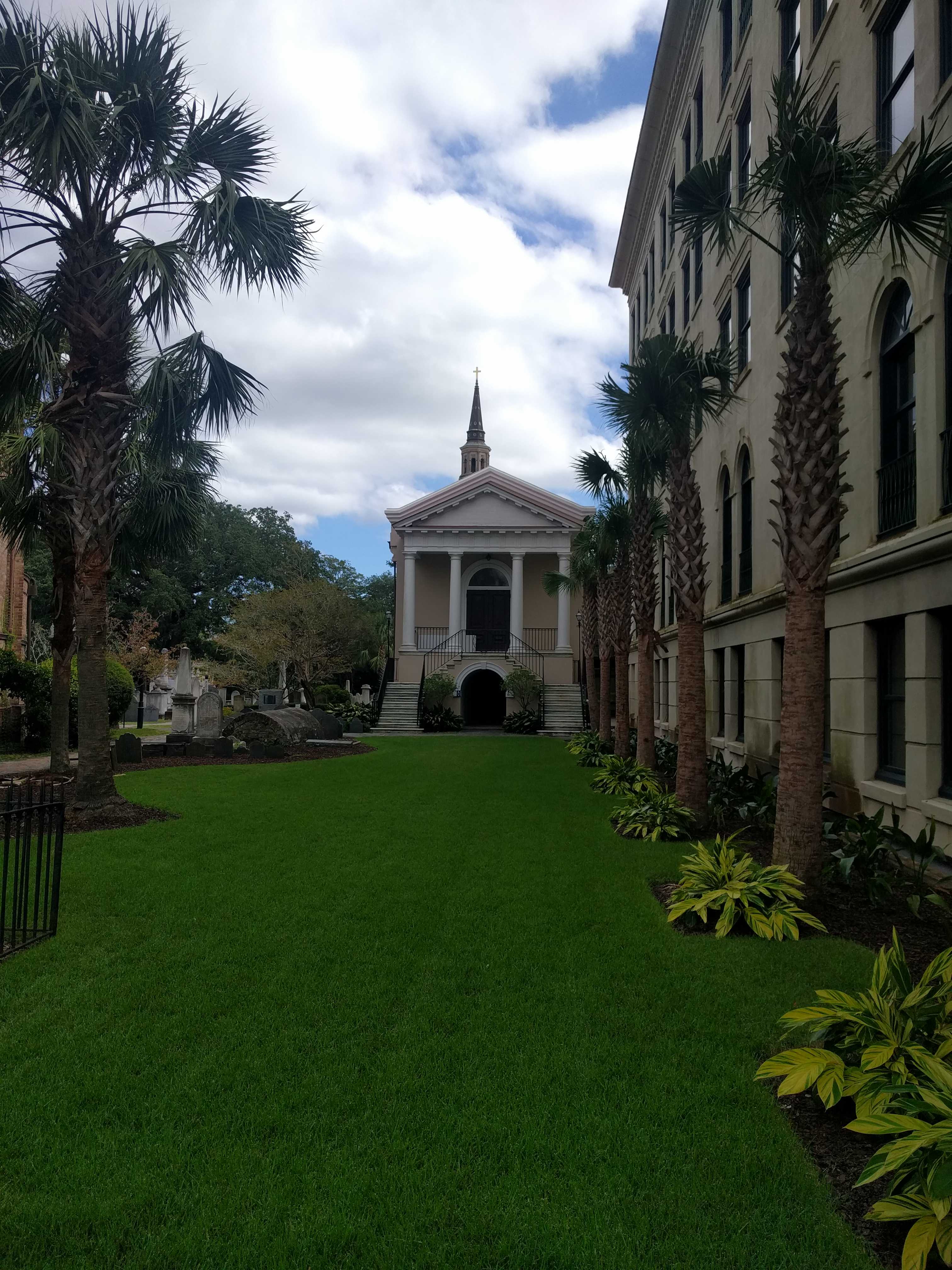
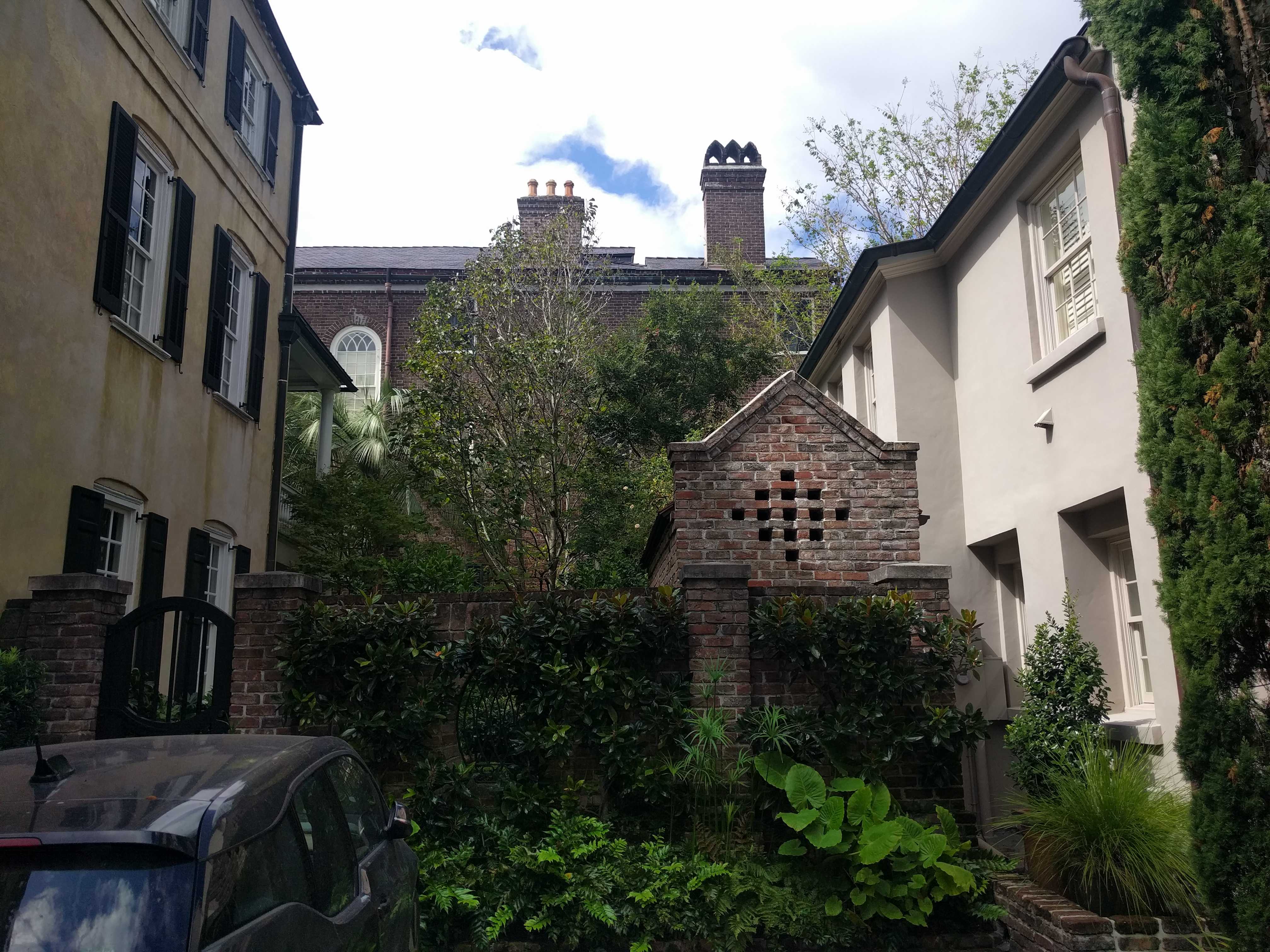
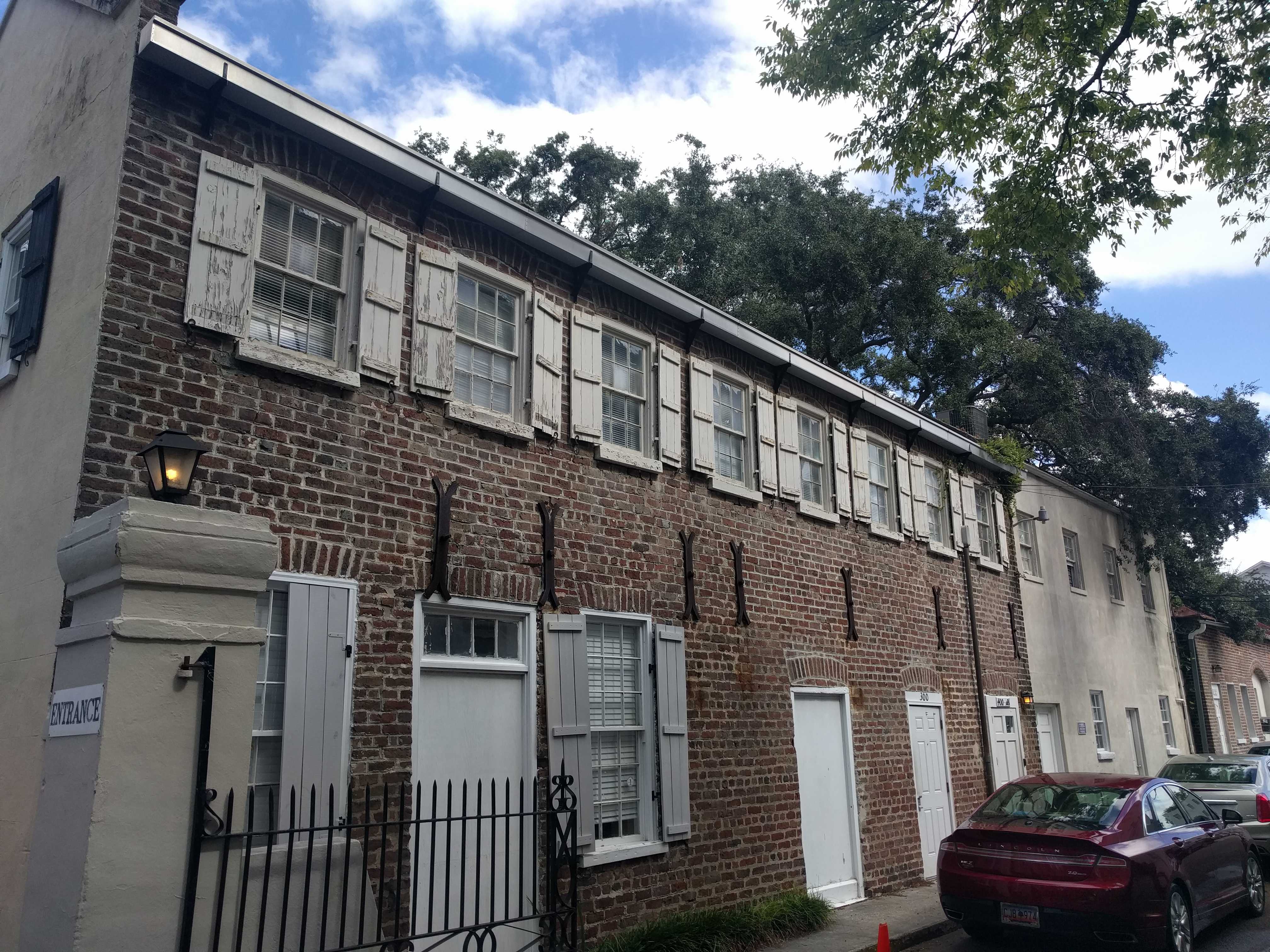
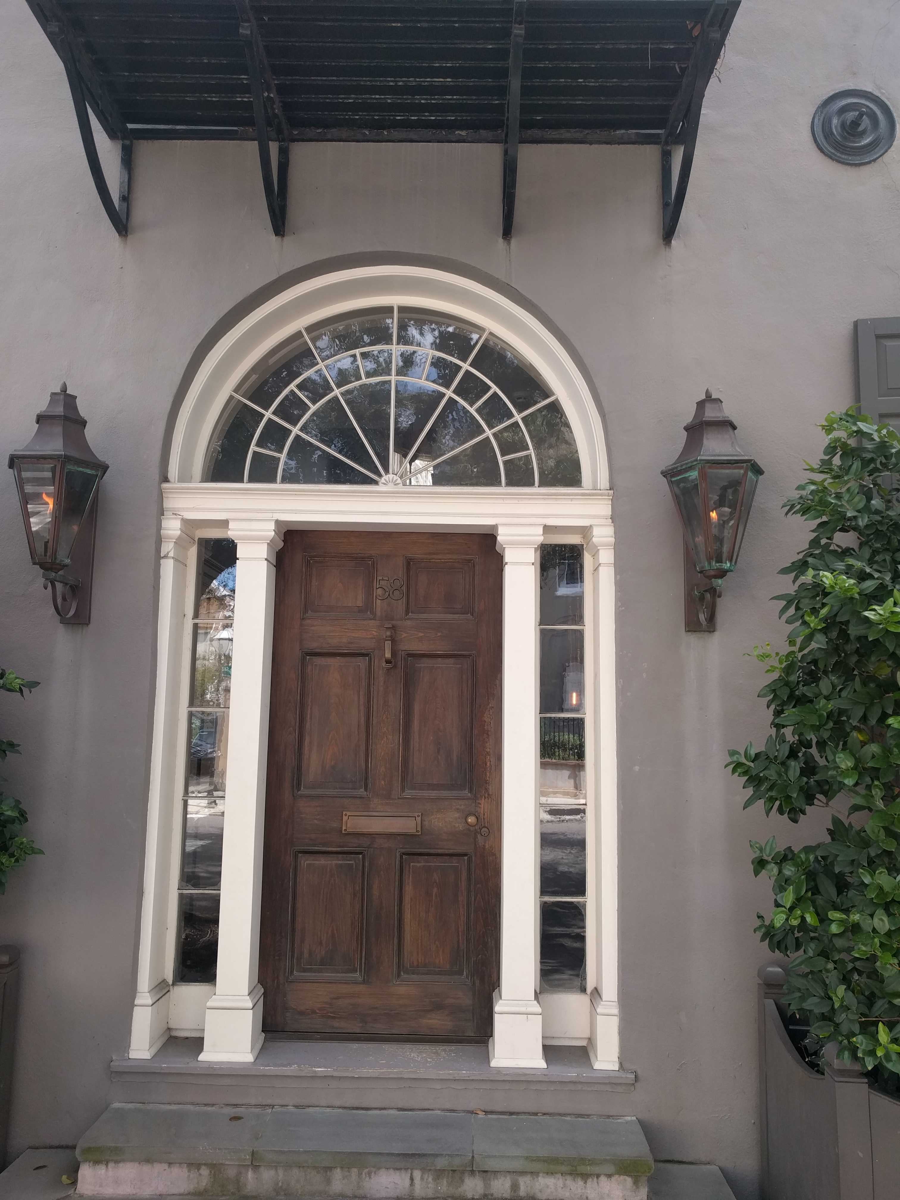
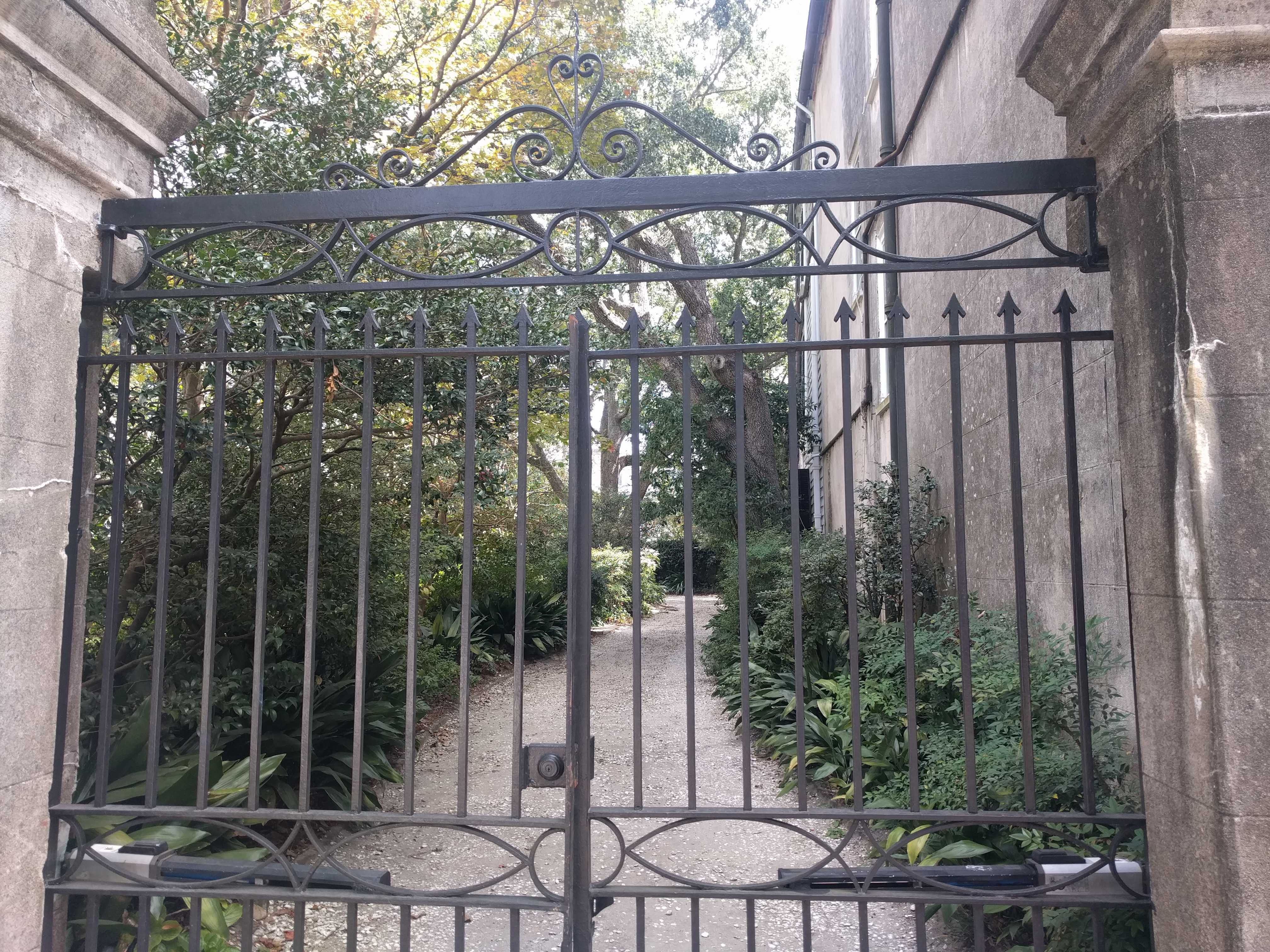
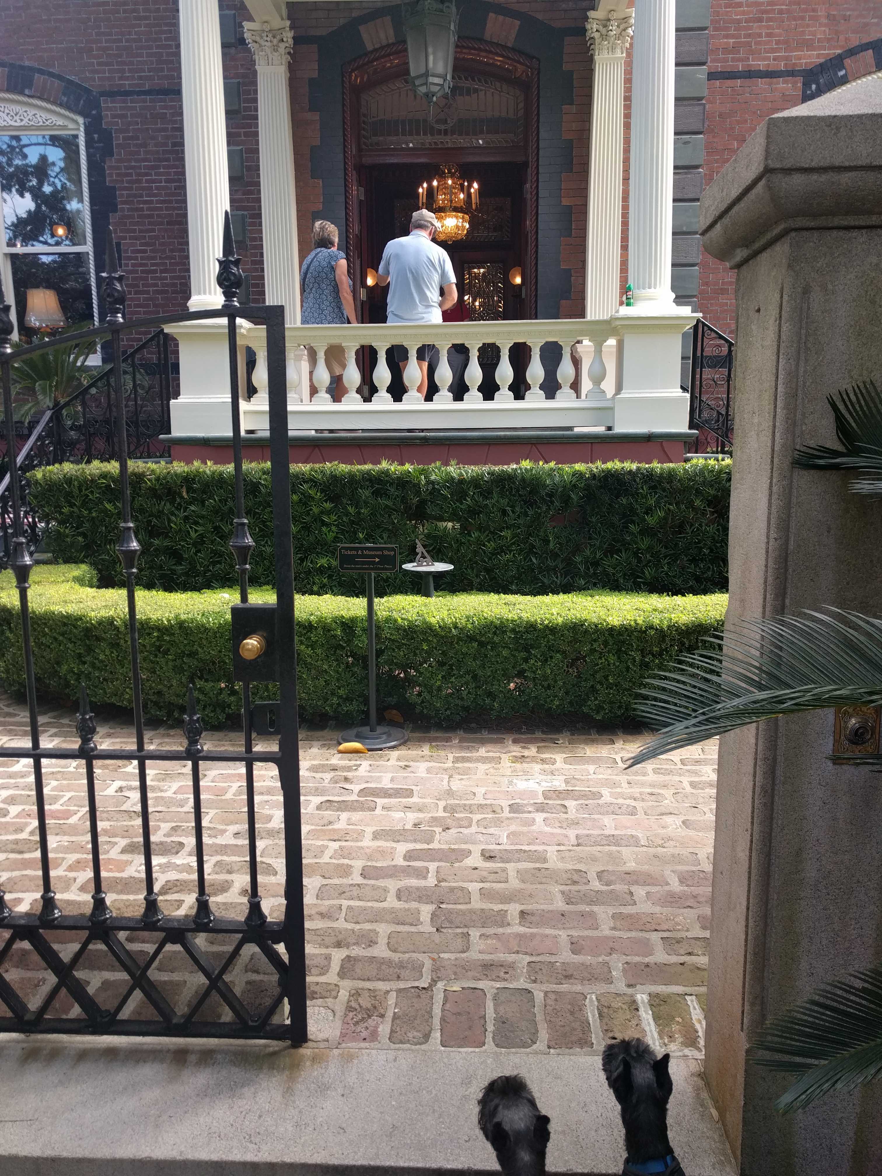
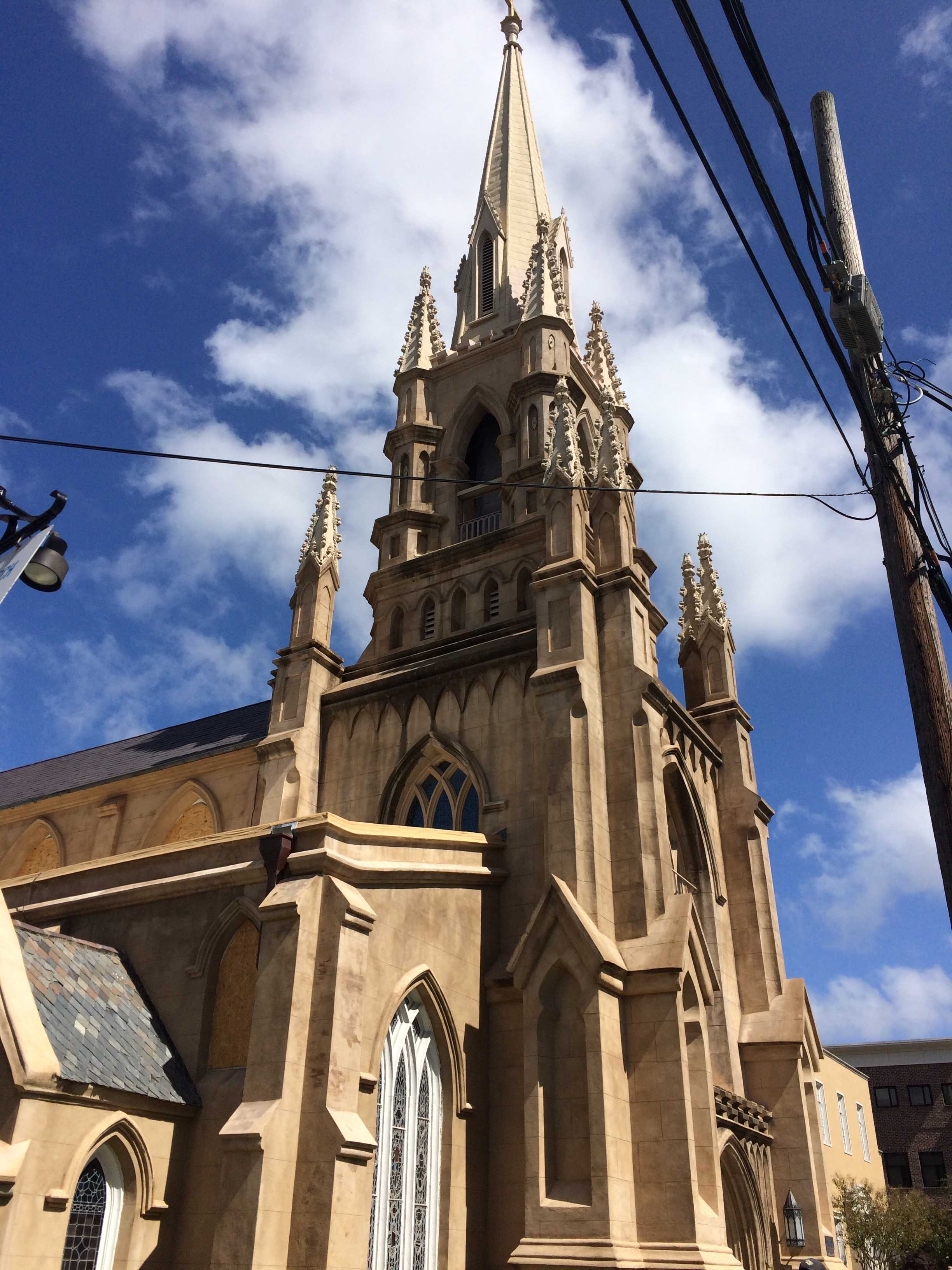
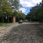 We walked along the waters edge to the end of that park and cut back inland toward Church Street to head south to the car. Church Street had a lot of folks walking down the middle of the brick paved street and bicycles all around. There was lots of great architecture to gawk at, but the atmosphere was so different than just a block away on Meeting Street which had more cars and people plying it.
In a little while we were back in the park diagonally across from where we parked the car. We drove back to the island for a late lunch at a Mexican place that said they allowed pets on the patio. Surprisingly it was really good Mexican food, it did strike me as odd that on the front door in large letters it said “No pets”. I went inside and asked. They said, “Bring them in,” and he went out to the patio to put a couple of menus on a table for us. After we were seated he brought out a pie tin of ice water for the pups.
Once satiated we headed out toward Folly Beach on the ocean side of the Island we were camping on. James Island is large and it took a while to get there. But once there, we drove up and down the street closest to the ocean and checked out all the beautiful beach front homes. Almost every one of them was raised up about 15 feet from the ground. Must be fun to haul all the groceries up those steps! We drove down as far south as the road could take us. There was another state park. We headed in. The gale was still blowing and there were some pretty large waves coming in. The water was a muddy brown. Had never seen that in the ocean before.
Something I found out when we were at the campsite earlier that morning walking the pups, I was holding my phone and using my elevation app to determine how low this place actually was. It said we were 6 feet above sea level. I was holding the phone about 5 feet off the ground. This island is about a foot above sea level. No wonder lots of the homes even away from the beach were raised up a fair amount. Not long afterward I heard the radio advertisements from many different companies refer to the area as the “low country.” They got that right. Made me think of the Netherlands but without the dikes.
When we got back to the coach, Kathy asked how far we had walked. It hadn’t seemed like we went very far, but I had almost 12,000 steps. No wonder my knee was letting me know it was there!!
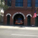
 Day two we decided to do a driving tour thru more of the historic district. What a cool city. I could live here, although I had not experienced any humidity, which would probably make me rethink that if we came back in the summer. After we drove around for a couple of hours, we made it back to the park/garden at the south end of the city to get the pups out and for us to stretch
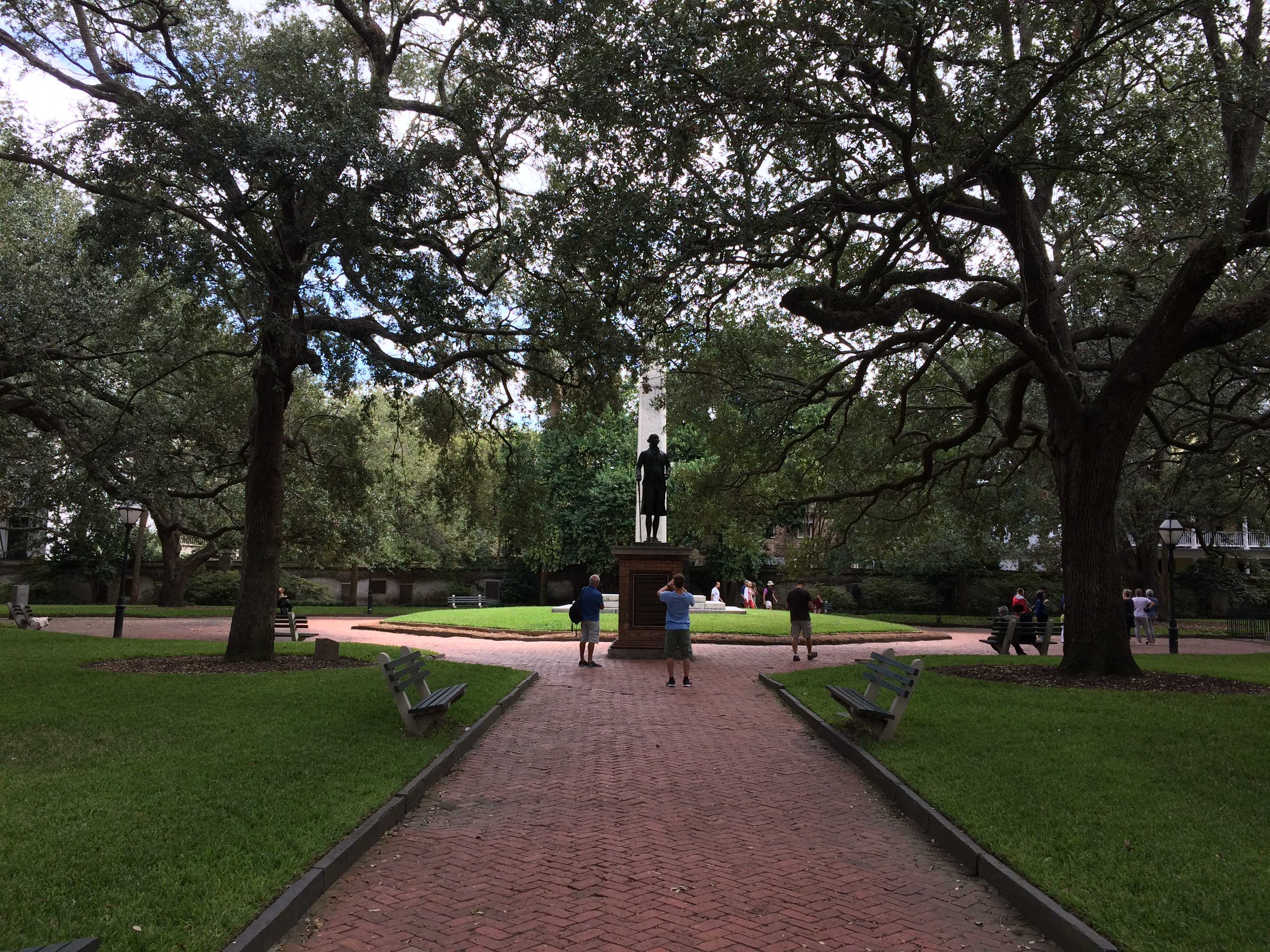
 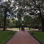 out our legs too. We looked at all the statues from this
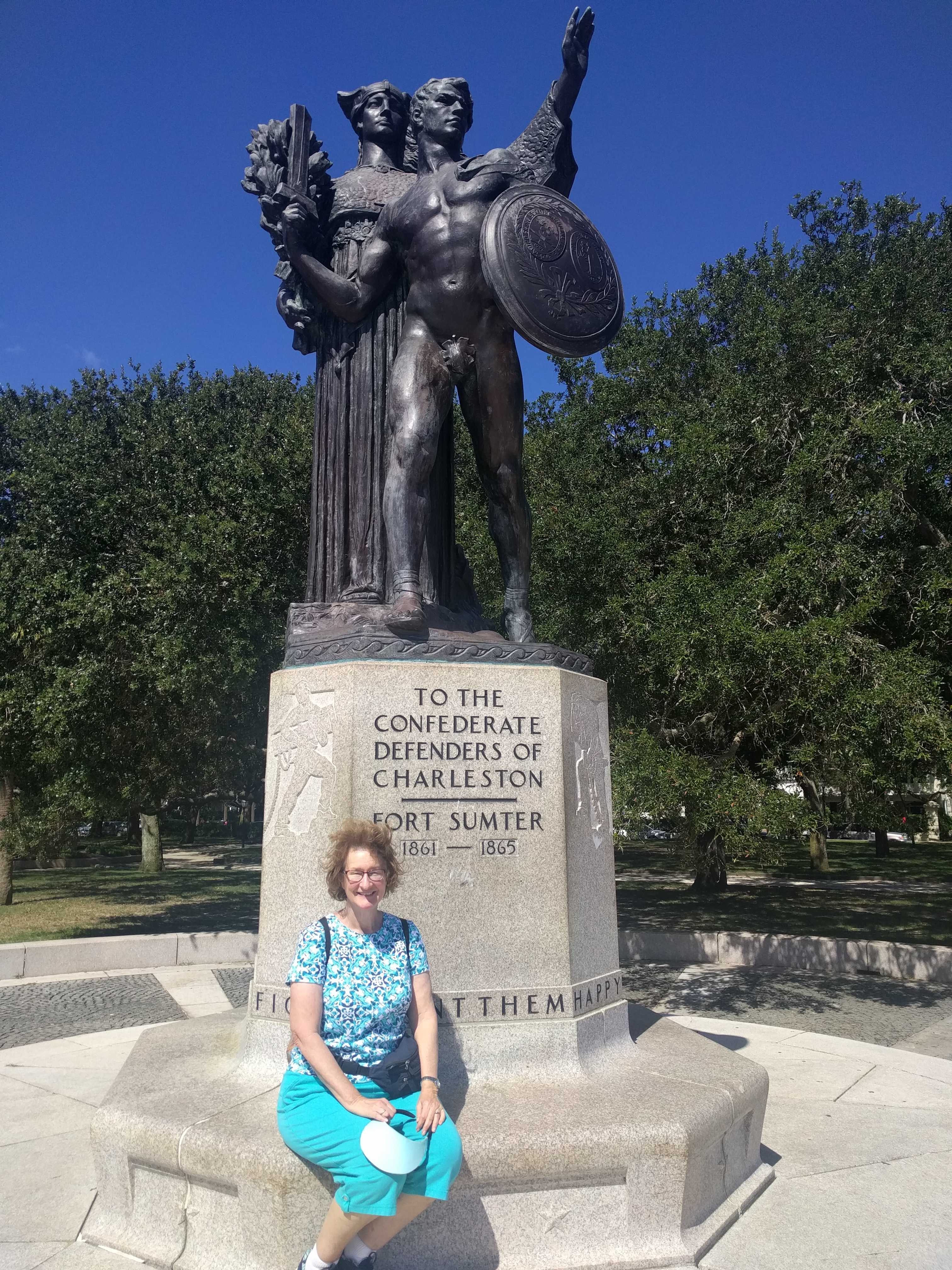
 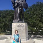 first city of the secession. There were a lot to George Washington, but the most interesting was the one to all the brave confederate soldiers. It was placed in the most prominent spot in white garden park.
 After we got back into the car, I started searching for a place to eat that would let us bring in the pooches. To my surprise I found an ad for a website called www.bringfido.com and it listed lots of dog friendly restaurants all over the US. There were many in Charleston, so we picked one and headed that direction. It had 5 bones (rating) and almost that high a rating for the Caribbean food. I really wanted the jerked chicken!
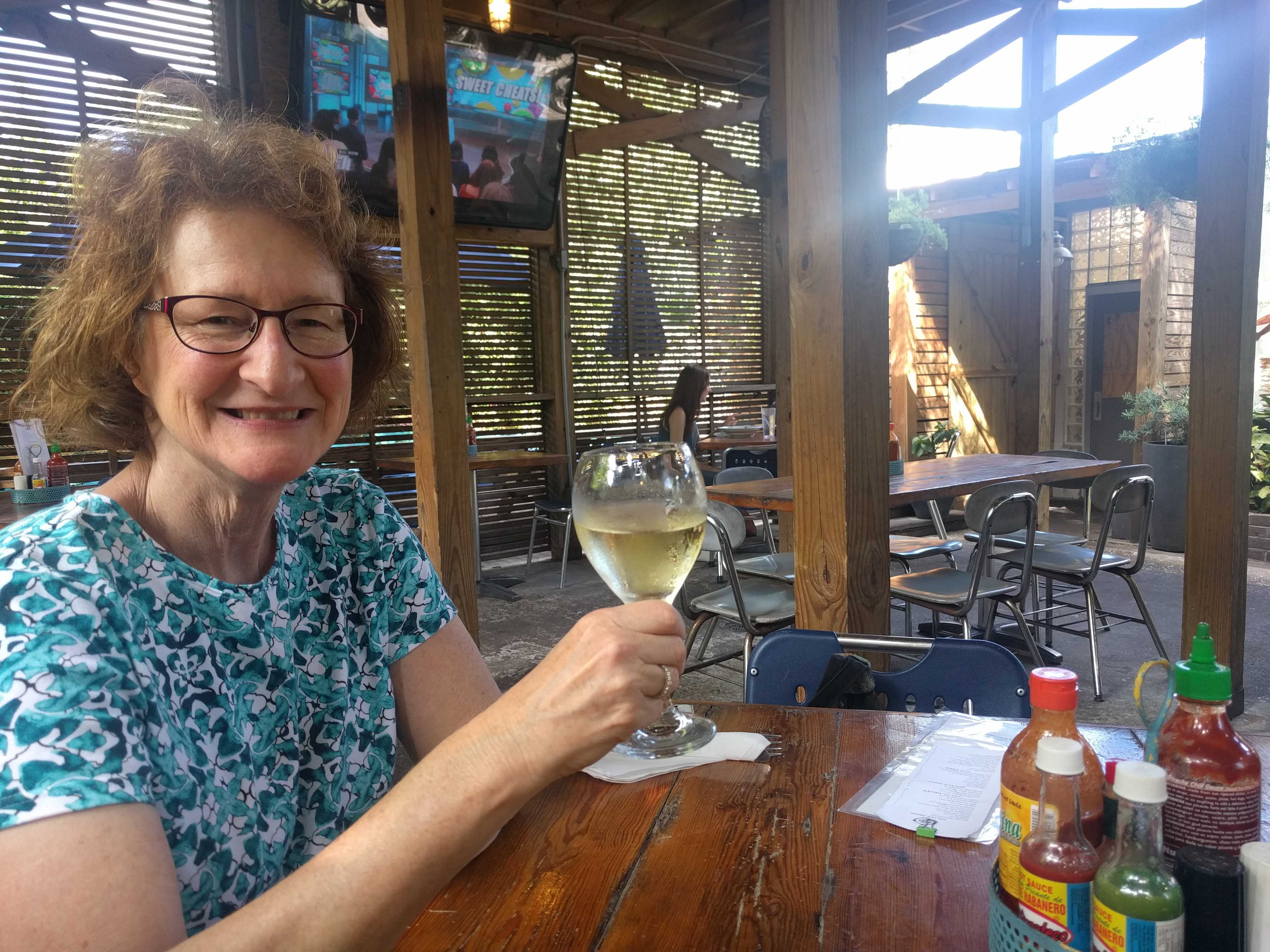
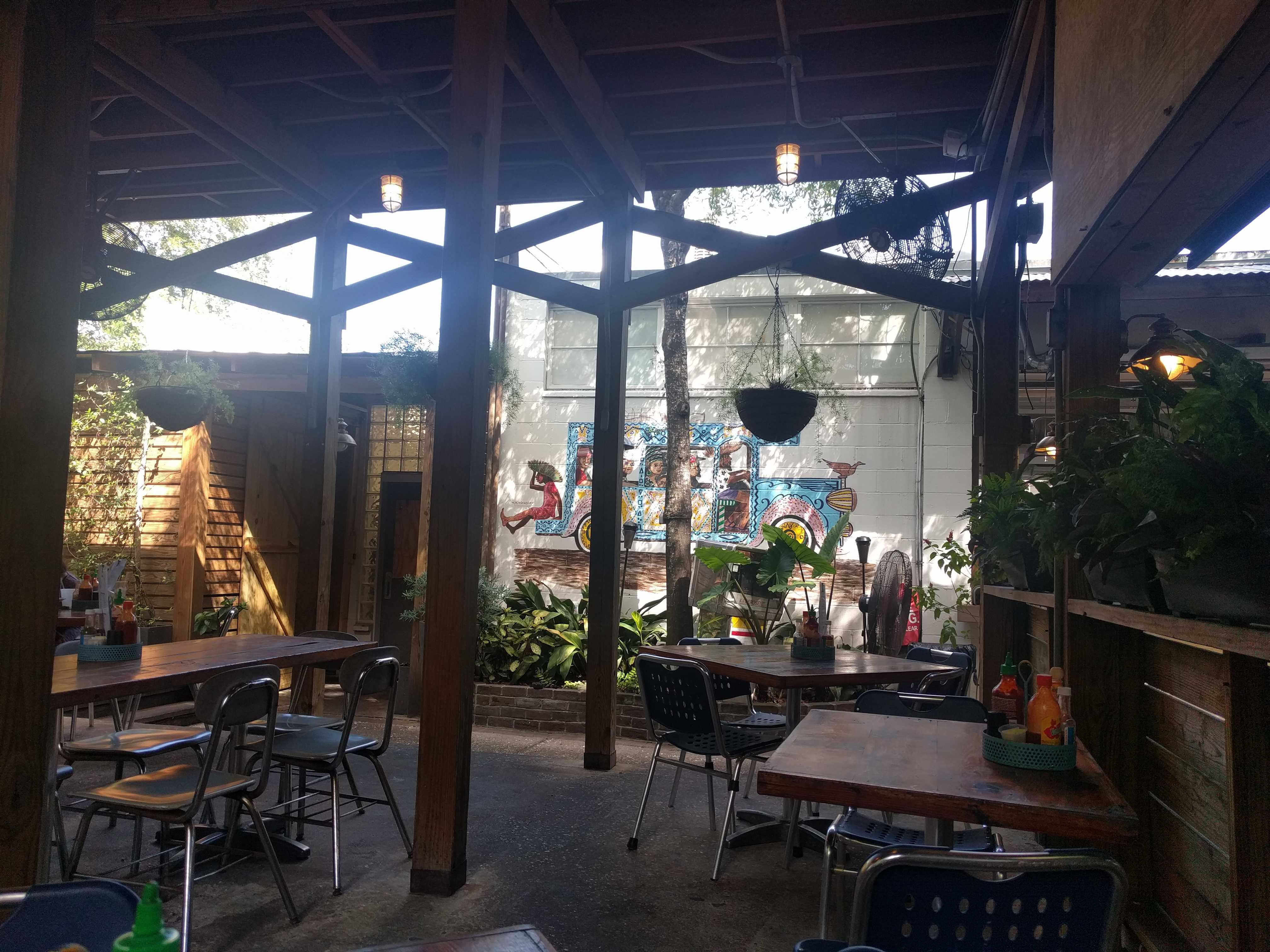
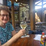
We got there – it was called Fuel – and it was an old gas station that had been slightly modified to make it a happening place. The patio out back was the nicest 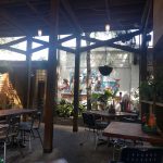 patio I have ever been to. A couple different levels, a high roof above for shade. A perfect place for us and the pups. There weren’t many folks there as it was pretty late for lunch on a Monday afternoon, but the food was amazing. I had a cup of sweet corn bisque and a jerked chicken sandwich. The corn bisque was the best soup I have ever had, hands down. The jerked chicken was pretty good, but not to the scale of the soup. Kathy had the sauteed shrimp salad. She said it was outstanding. And this, from a dog friendly restaurant app. Hard to believe our luck. If only we had found that app 4 months ago. Geez!
Heading to Savannah tomorrow morning.