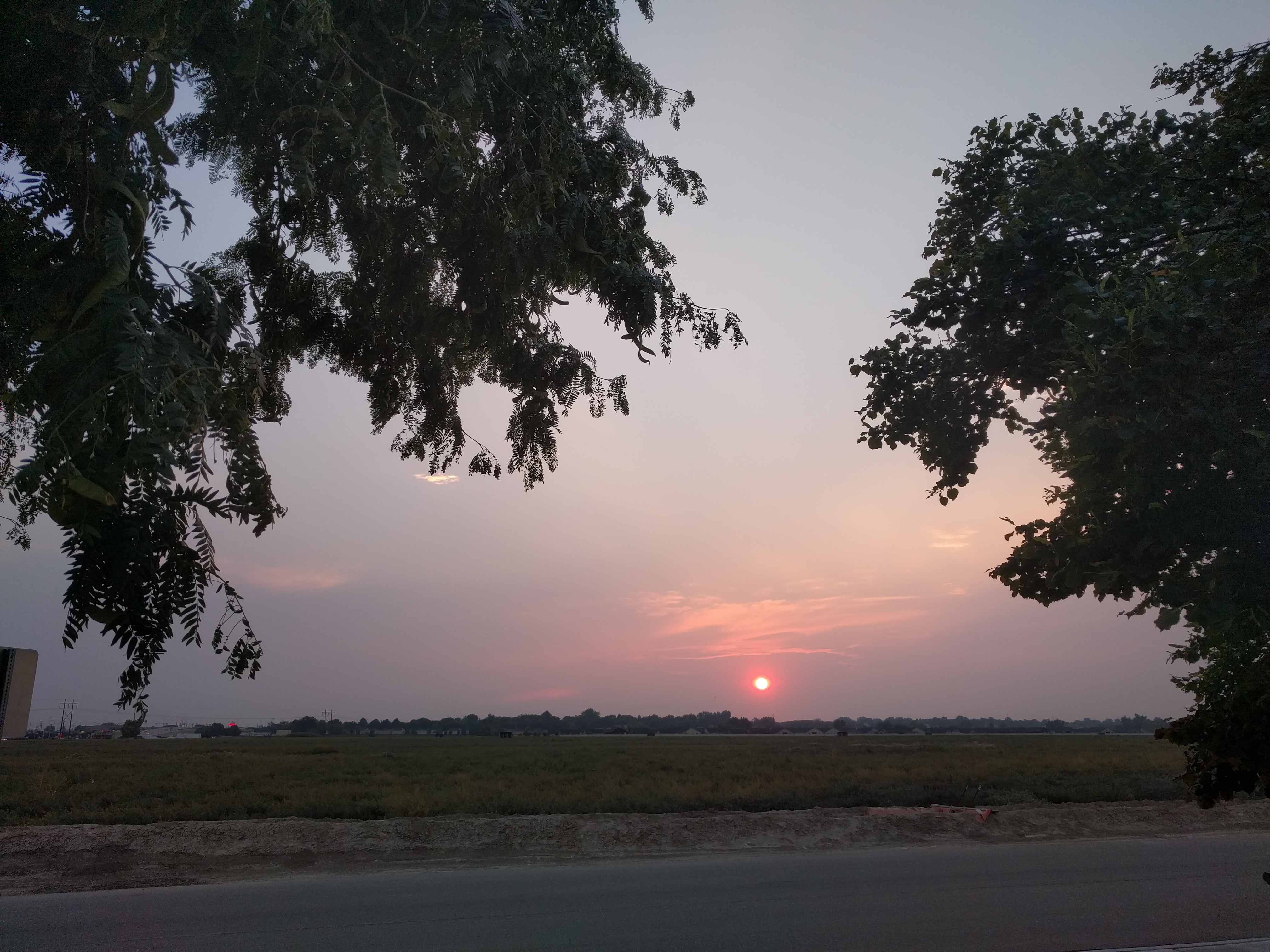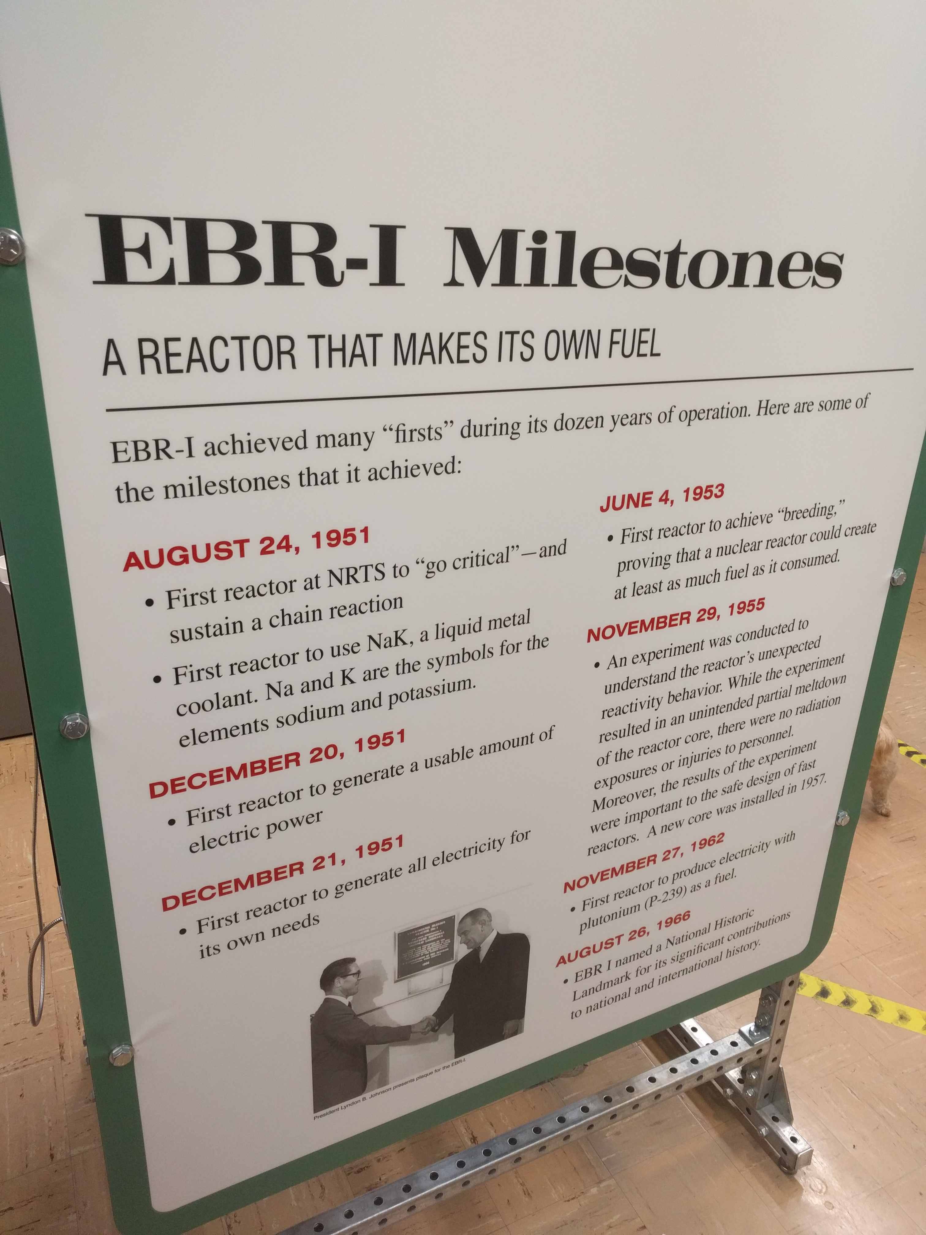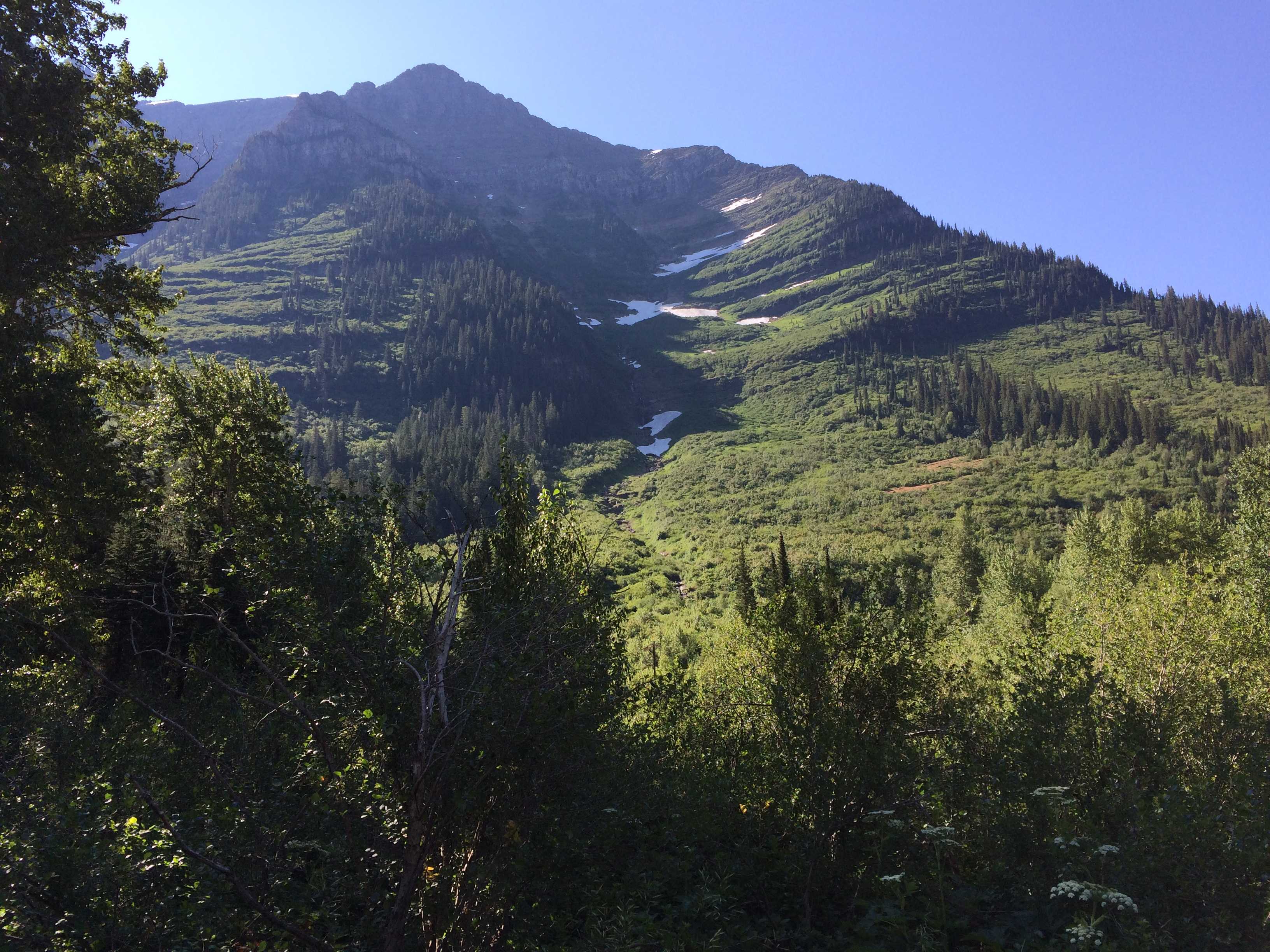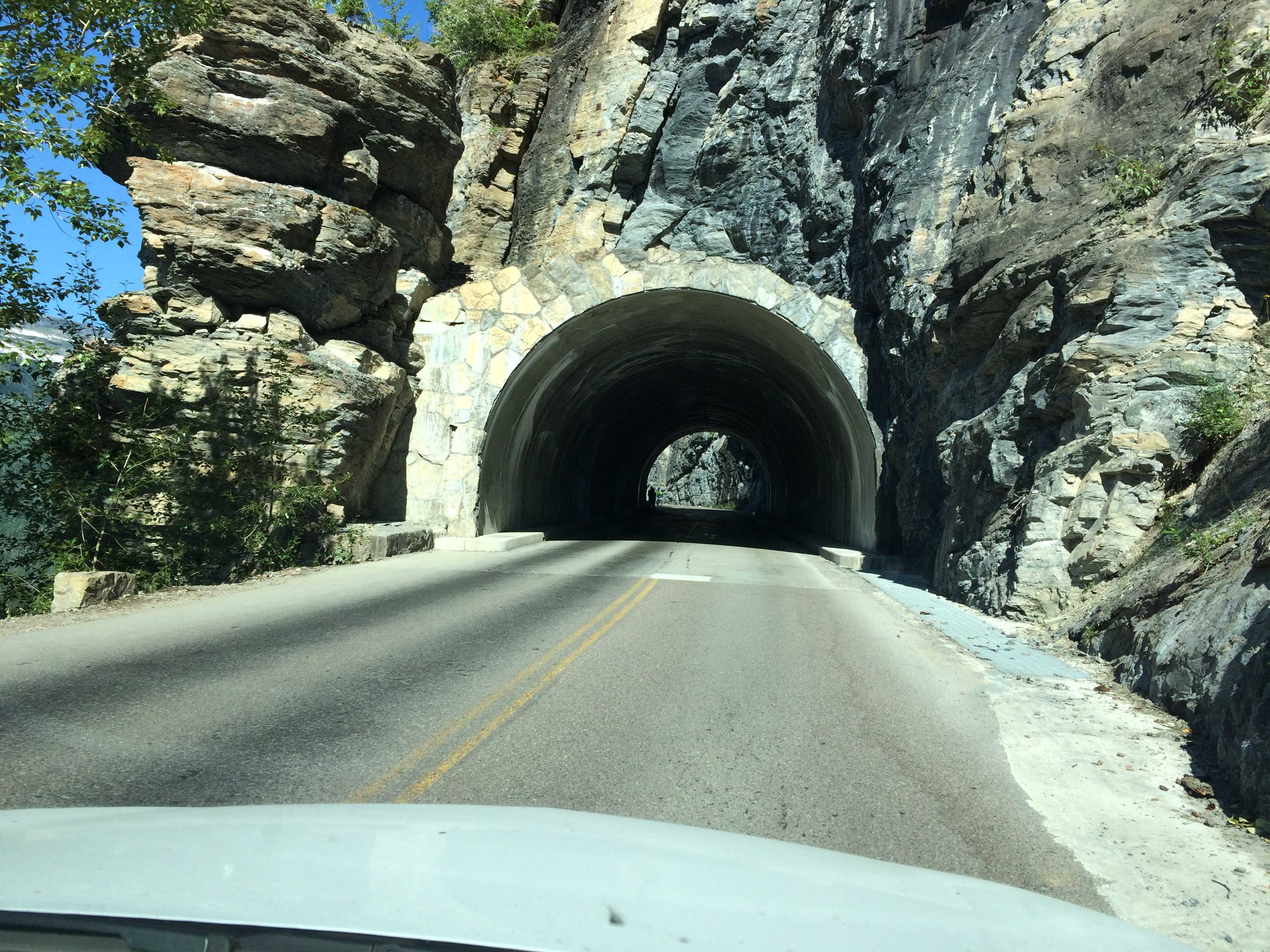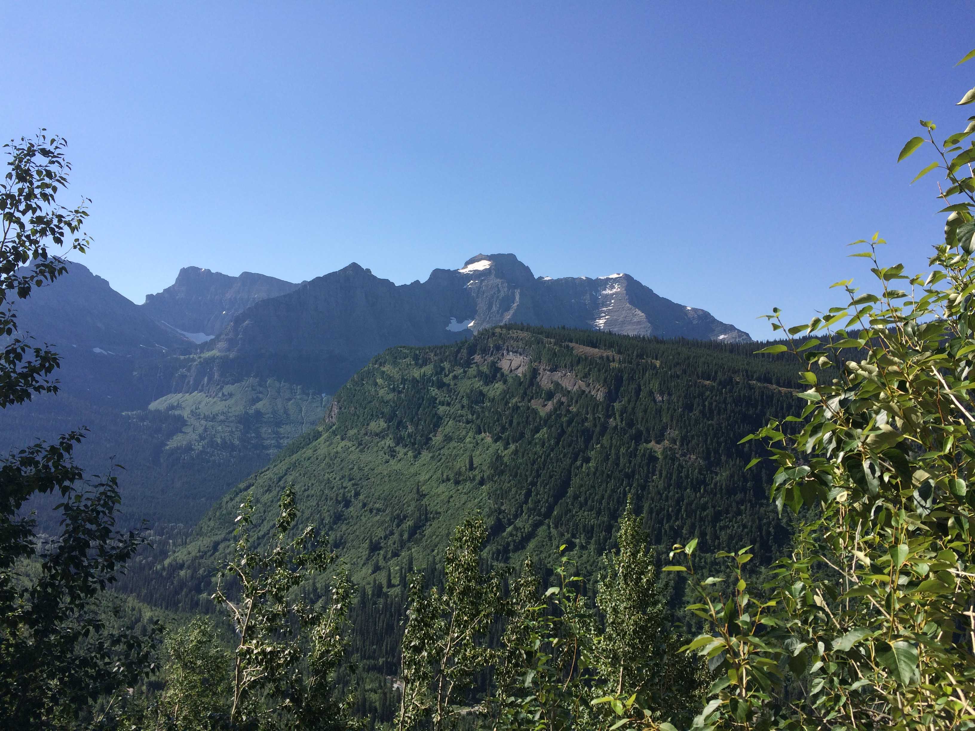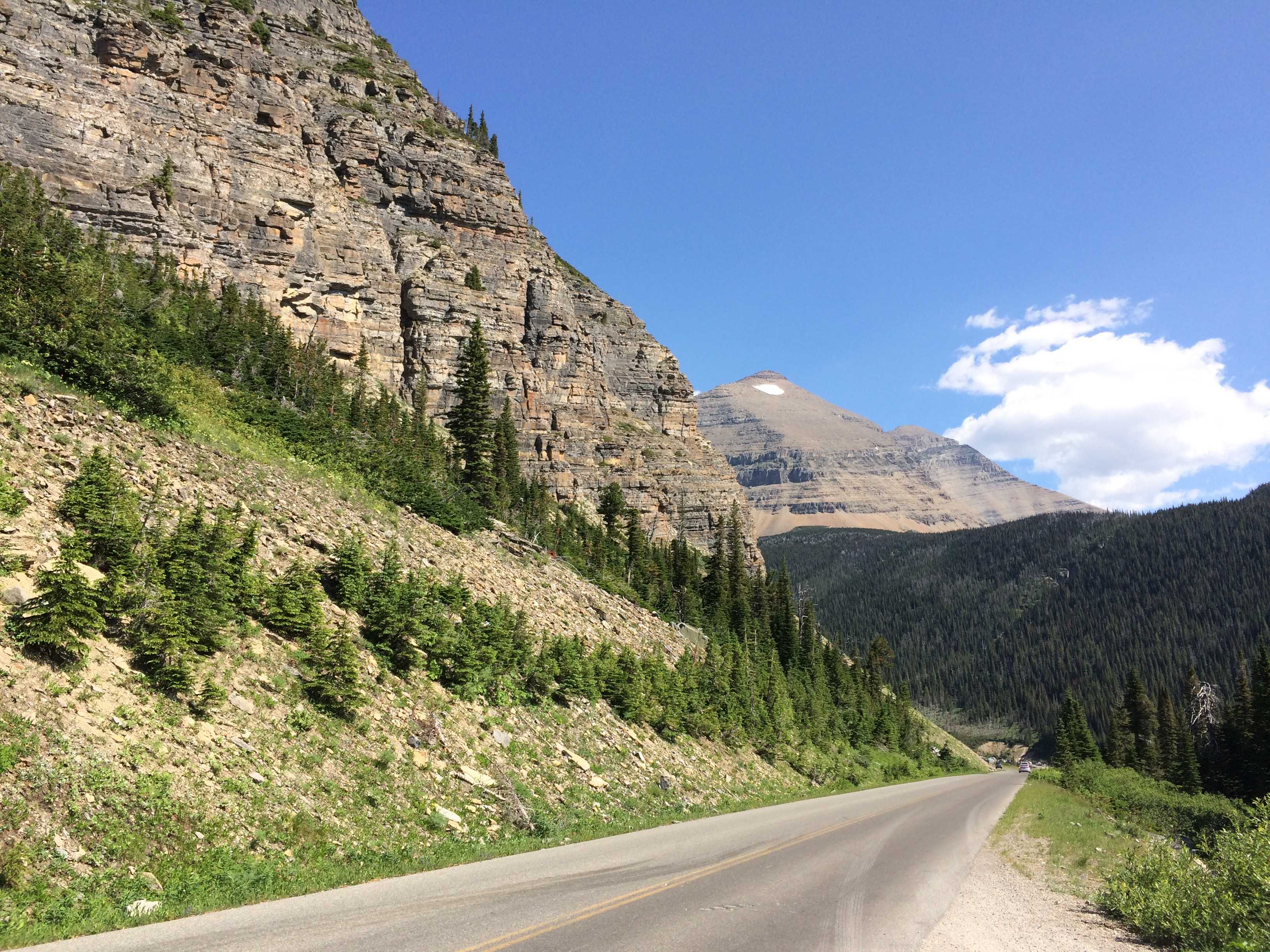
On the early morning drive from Silver City to the National Monument, Kathy remarked that this might be a disappointment after the other spectacular cliff dwellings we visited last year. It took an hour and a half to drive the 44 miles to the park. Most of the roads were 25 mph due to how narrow and windy with lots of sheer drop-offs.
We visited the visitor center to get a map and also to upgrade my metal  water bottle to a nice plastic one with the Gila Logo. It was much lighter than the metal one I had brought. Afterward we drove to the trail-head and talked
 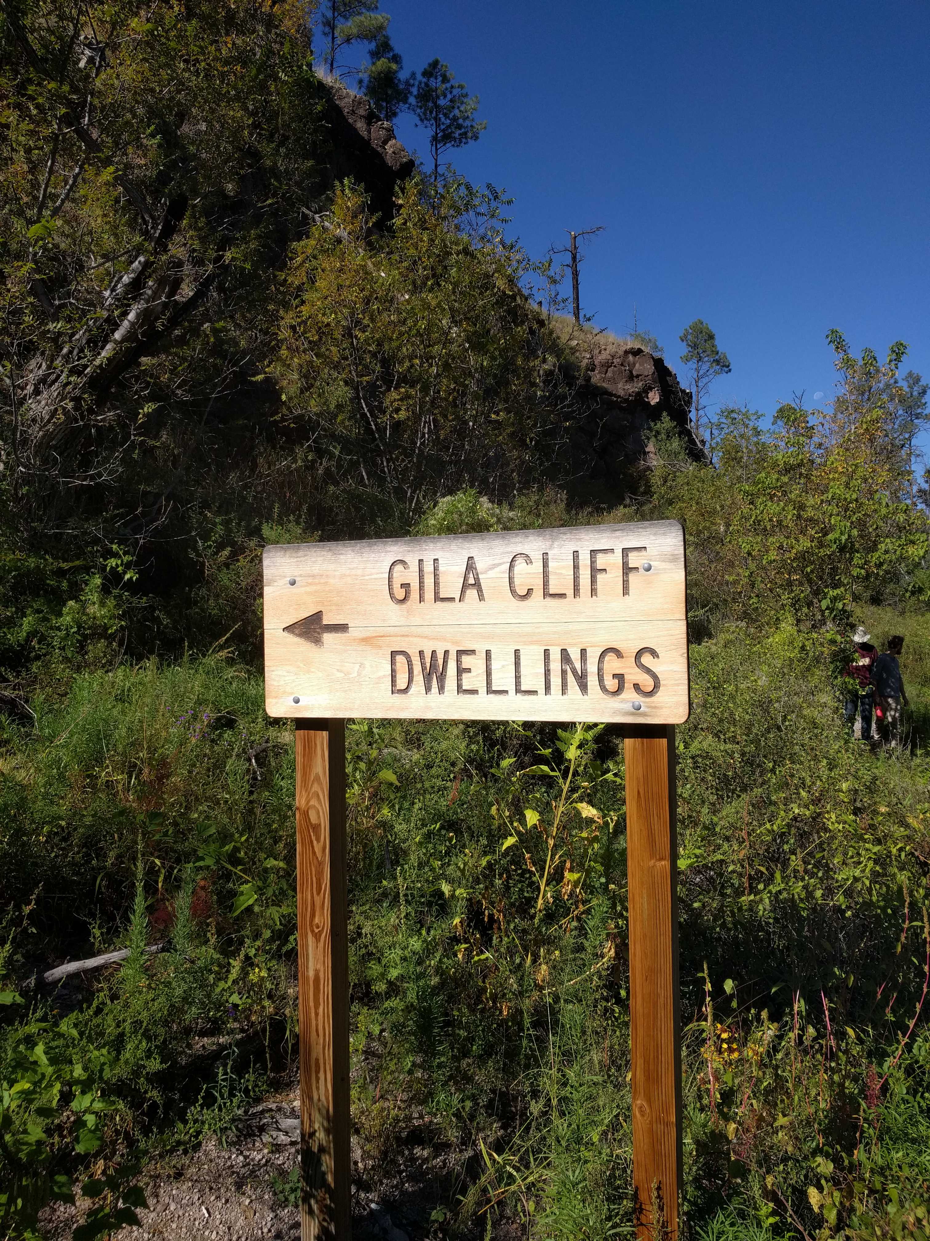 with the ranger about what to expect on the trail. The first thing you cross is a fairly large metal bridge over the Gila River. The trail is a loop, and the ranger said to take the first left to go up the valley.
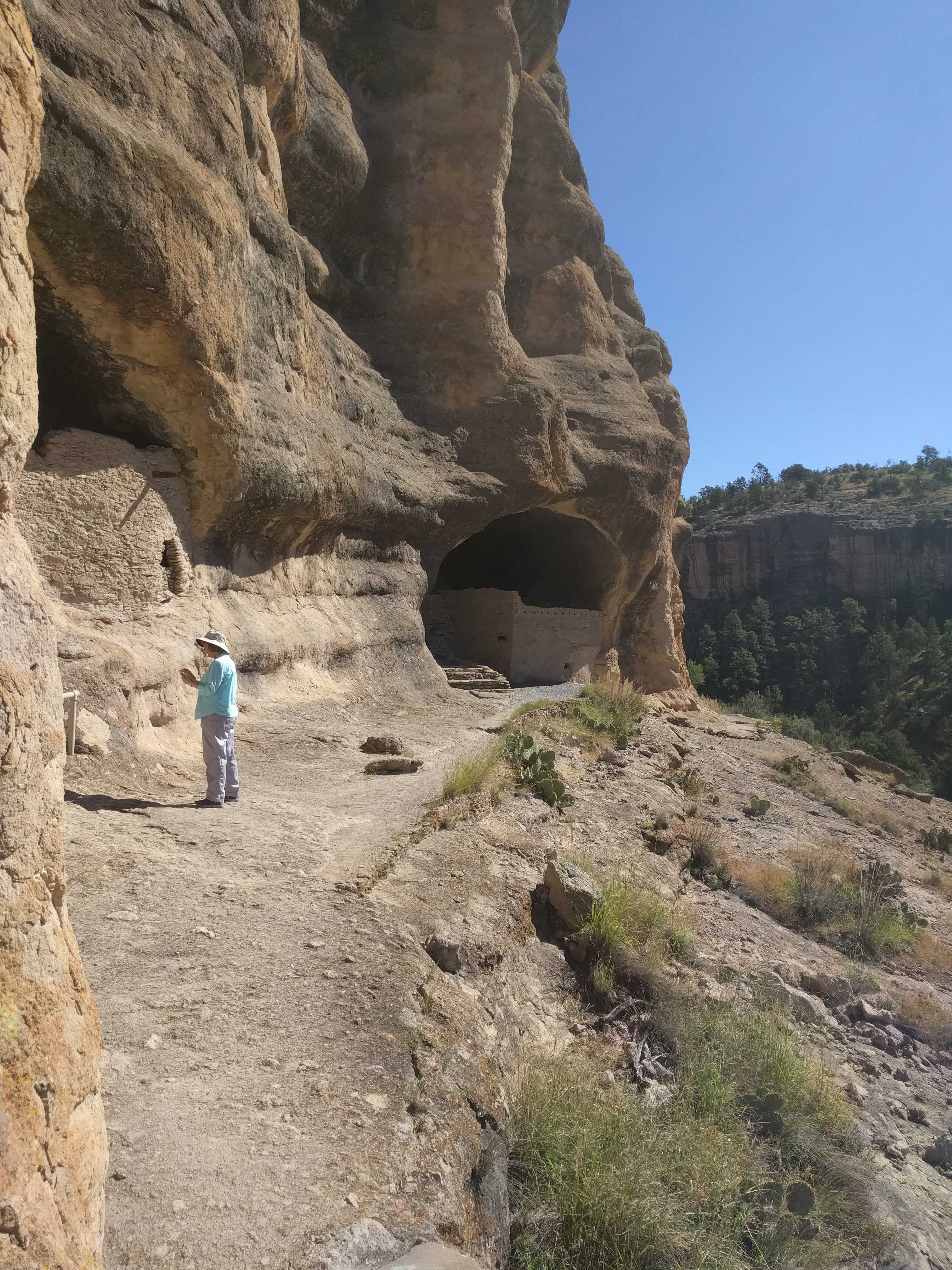
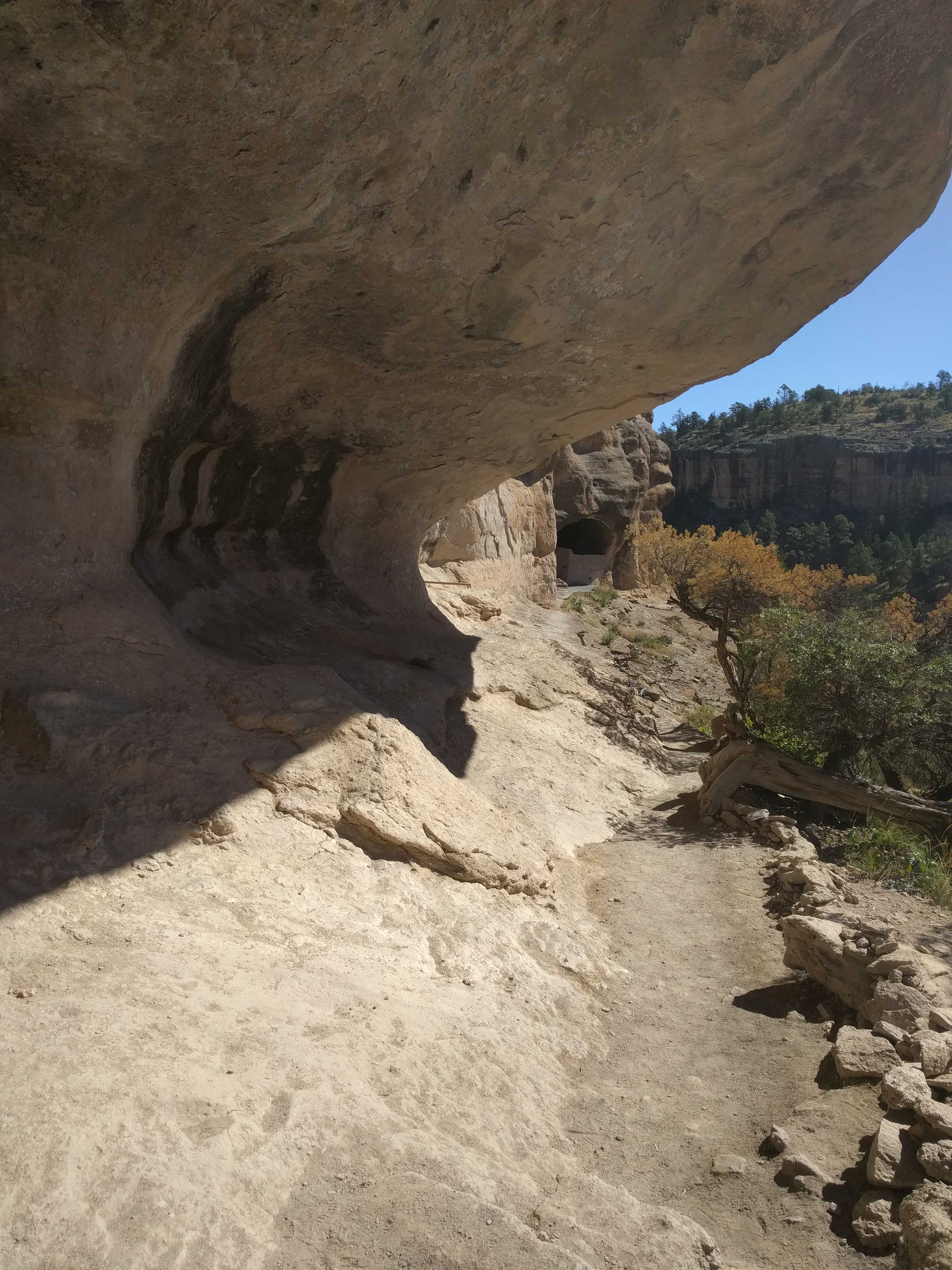
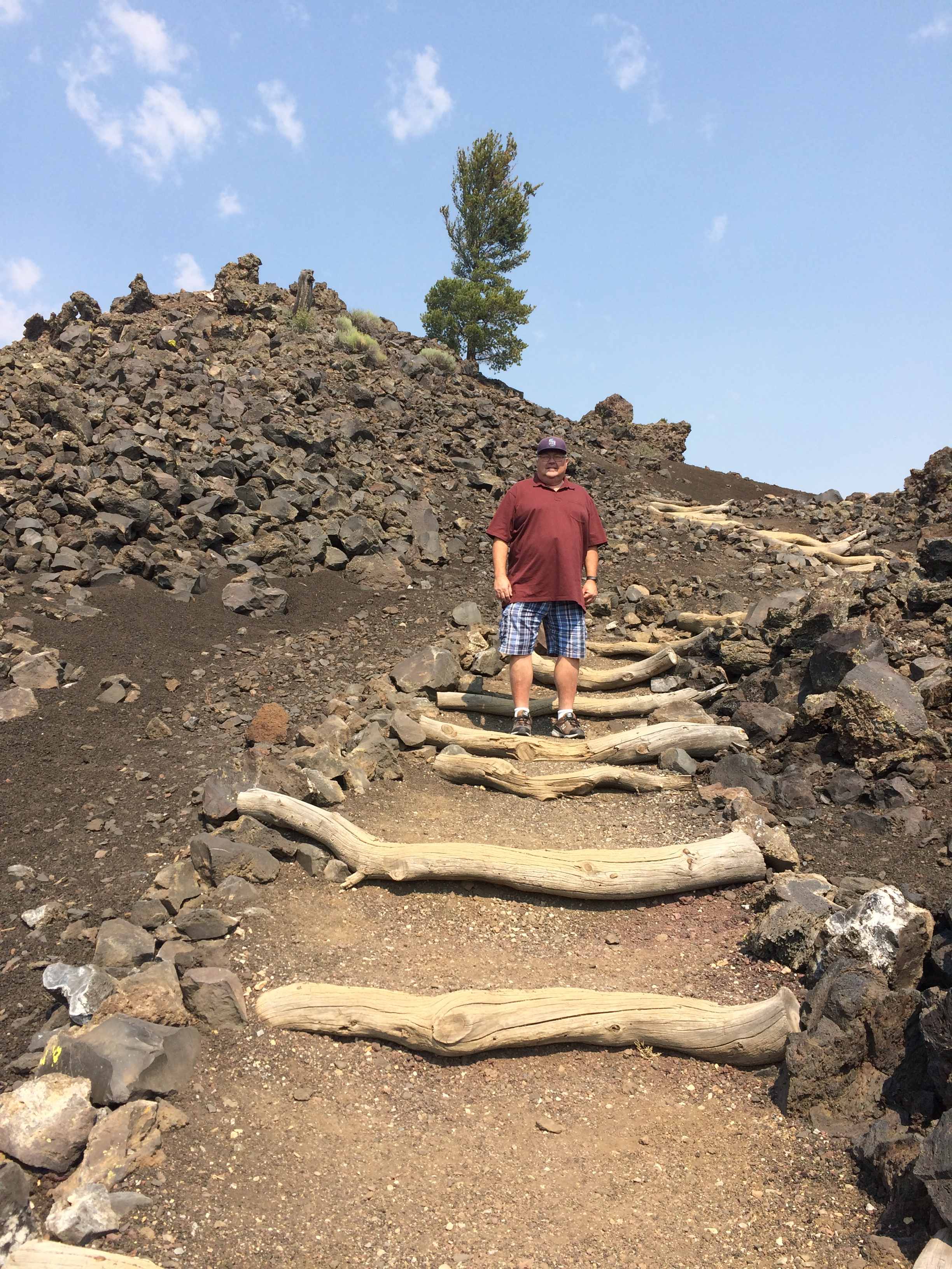
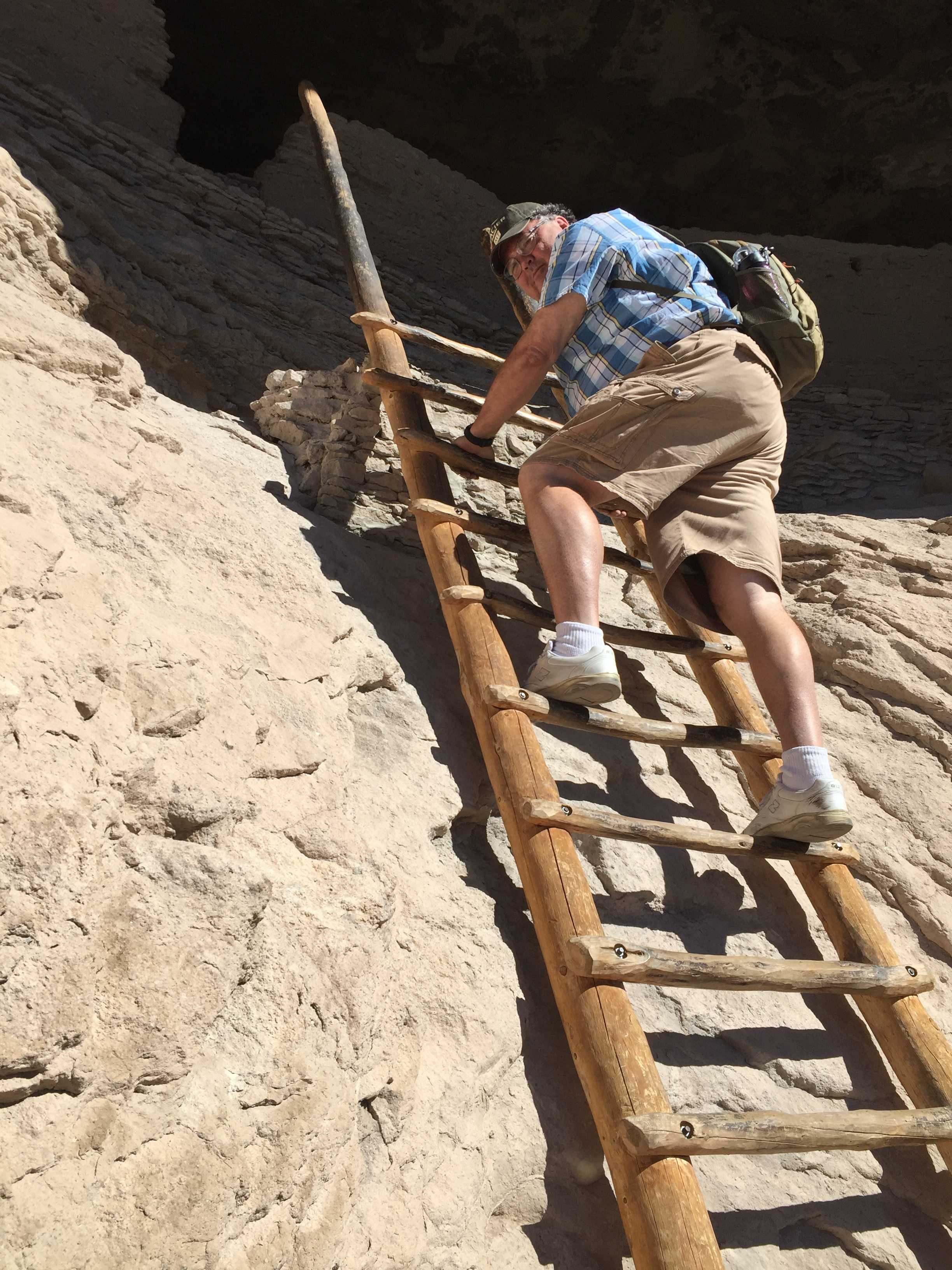
We started out early in the morning as it was predicted to be in the high 80’s that day. We were pleasantly surprised that 2/3rds of the hike up was in the 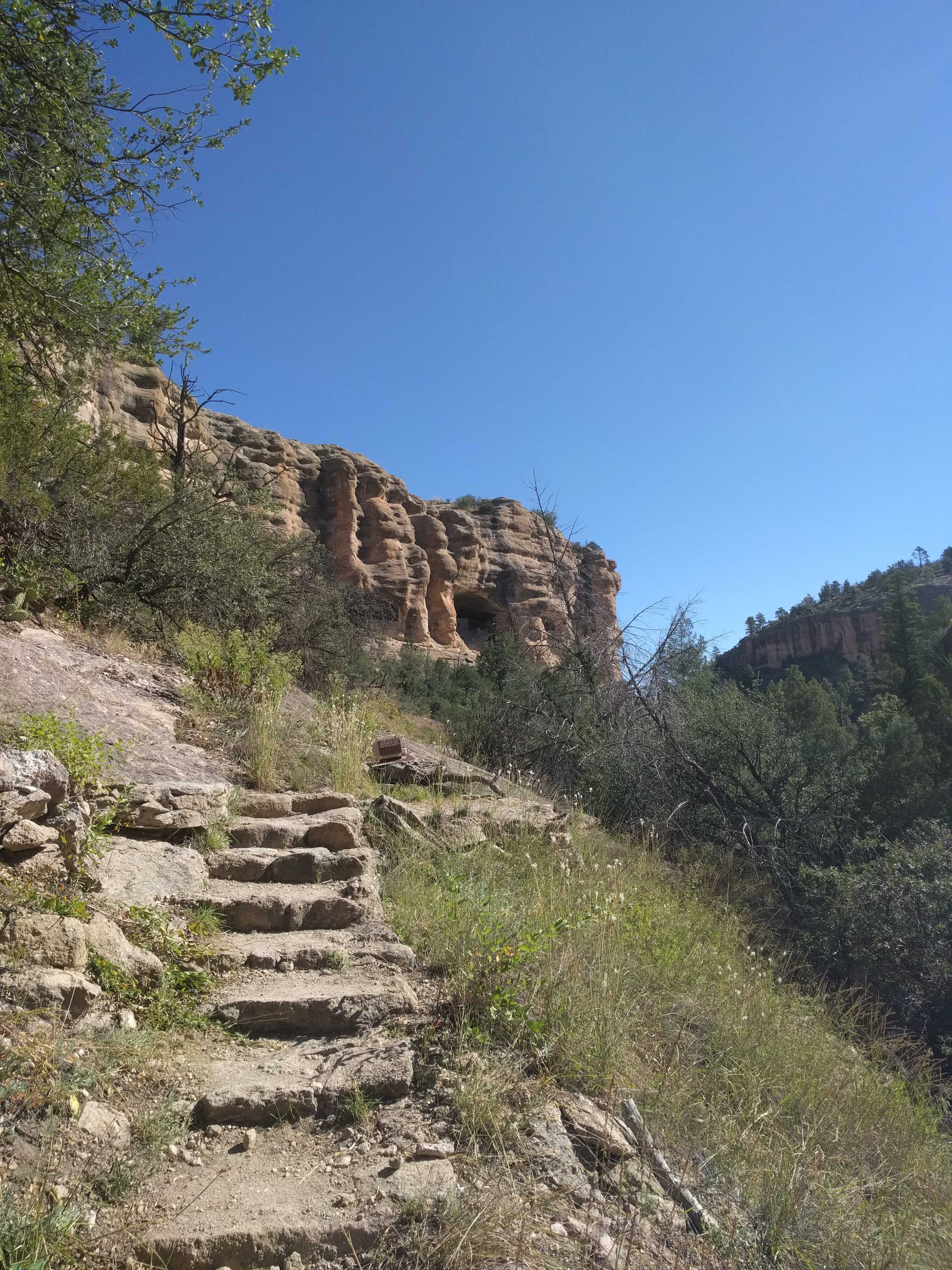 shade and a perfect temp for a hike up a hill. Then we came to the switchbacks and of course they were in full sun. Lots of steps carved into the rocks, probably only about 180′ vertical, but in the sun it felt a lot longer. We took advantage of a couple of strategically placed benches in the shade going up the rock face.
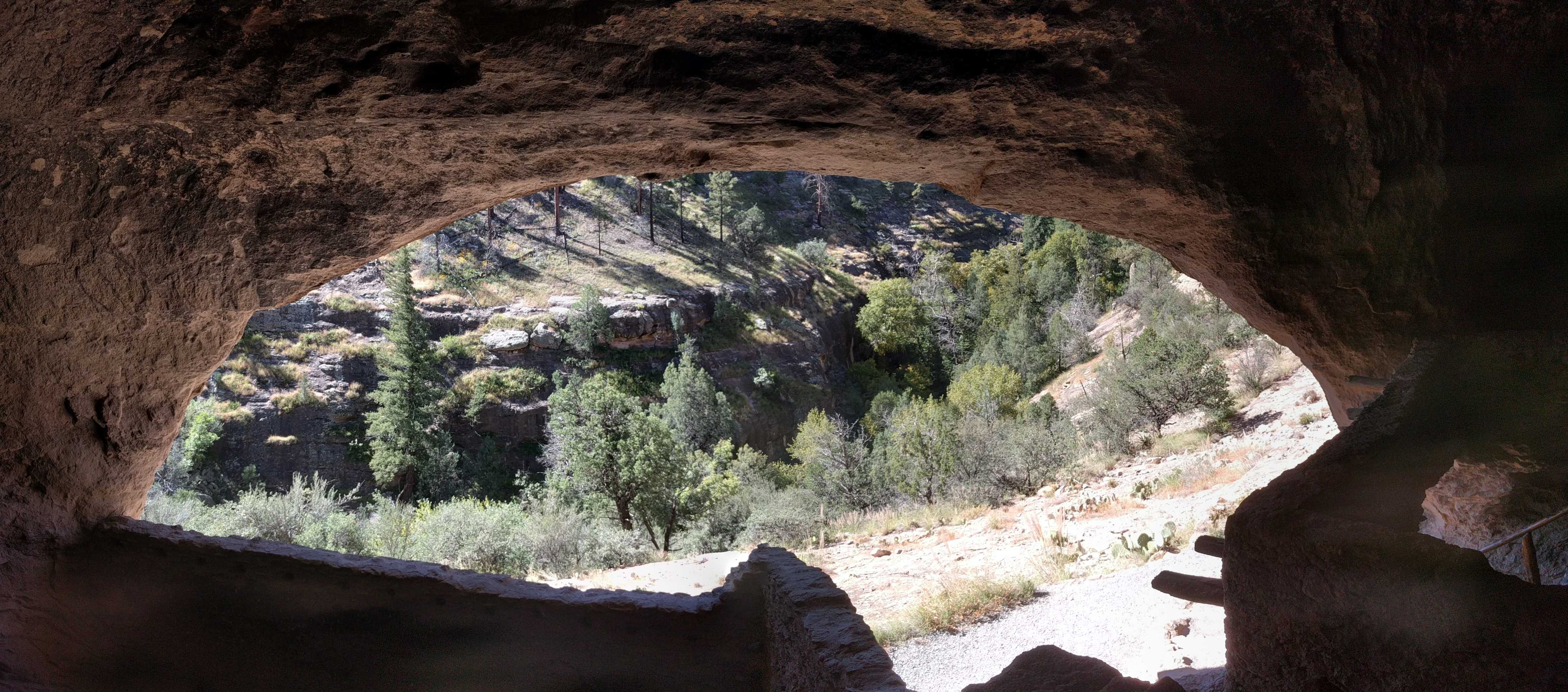
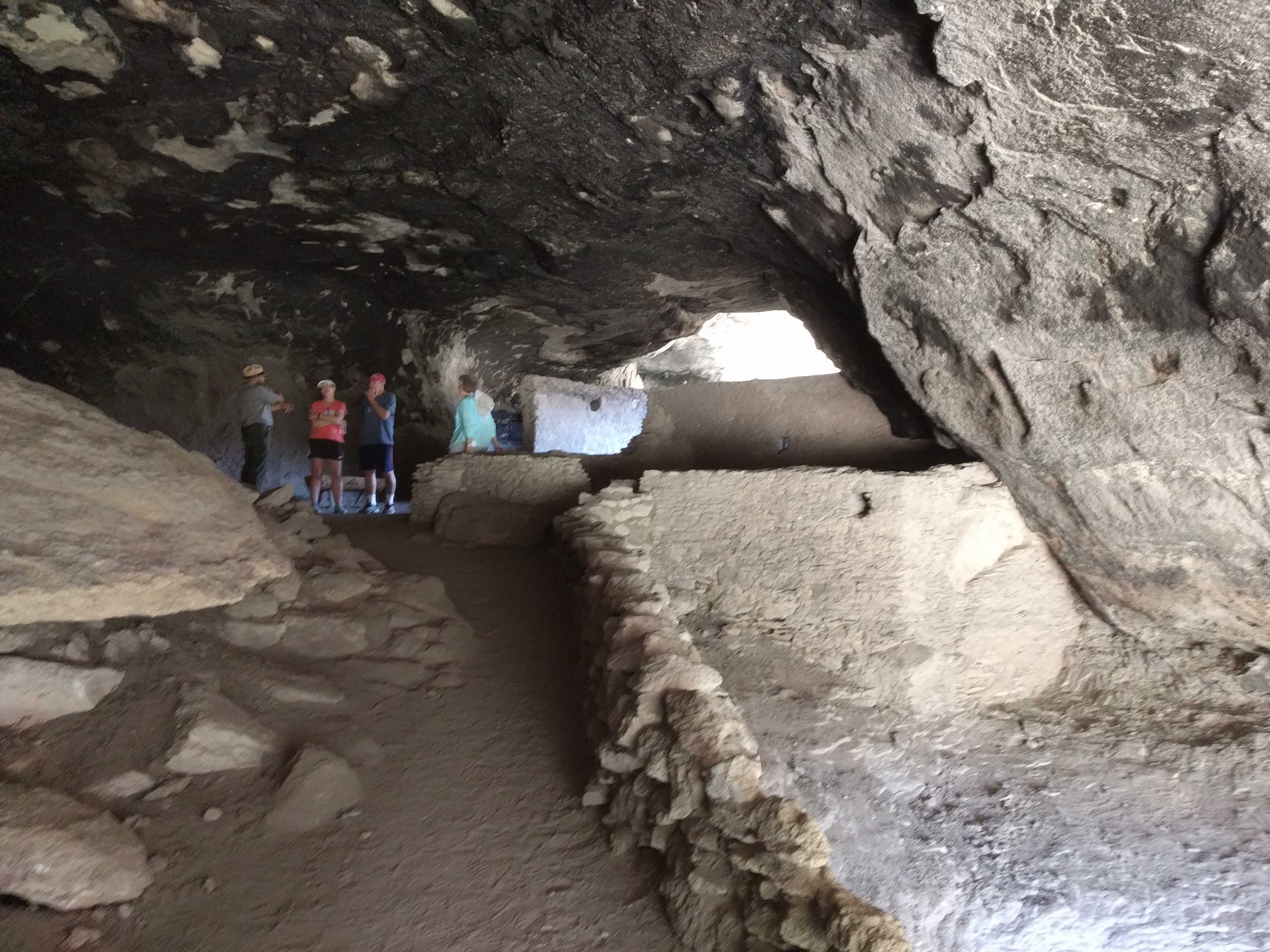
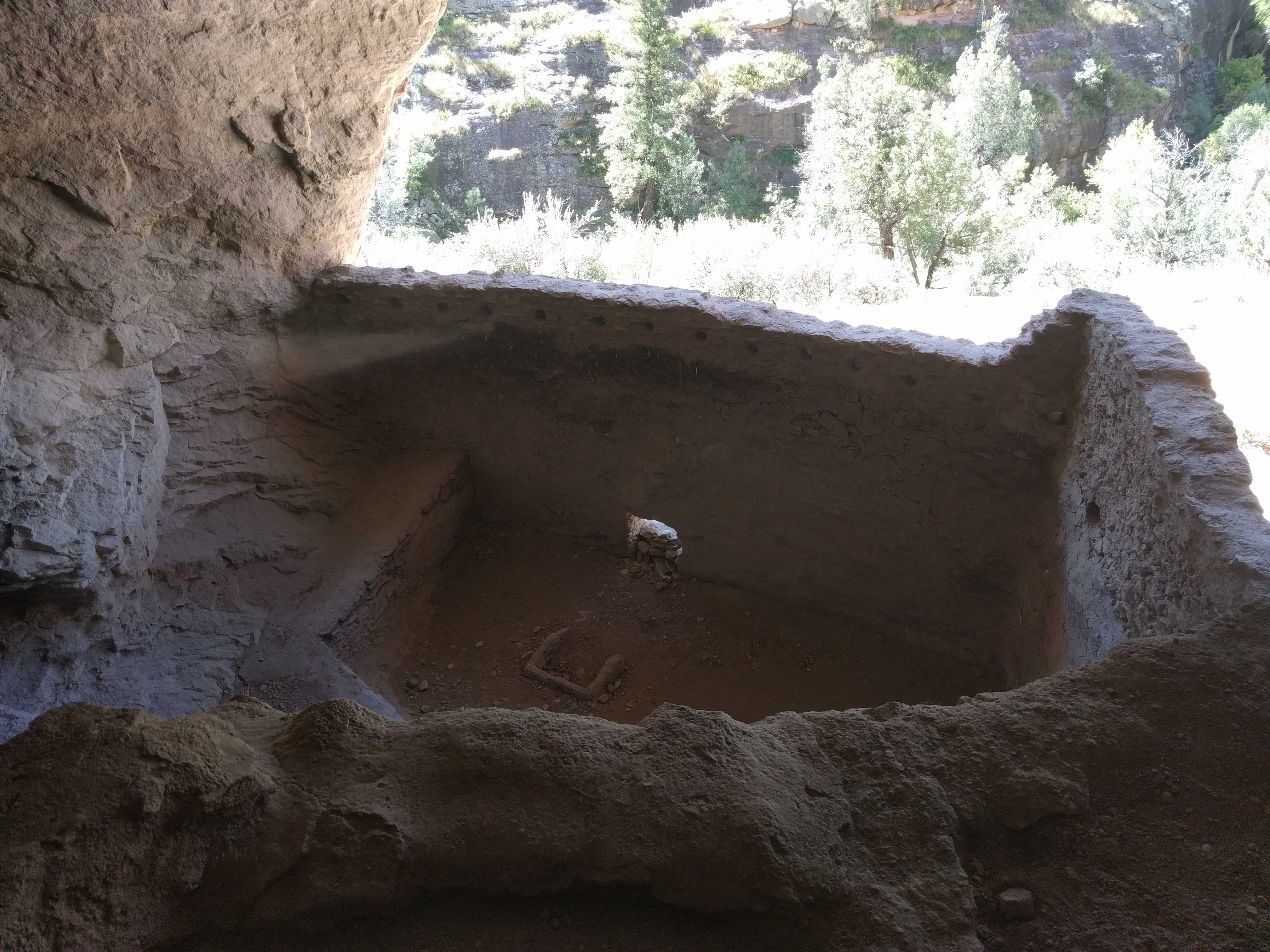
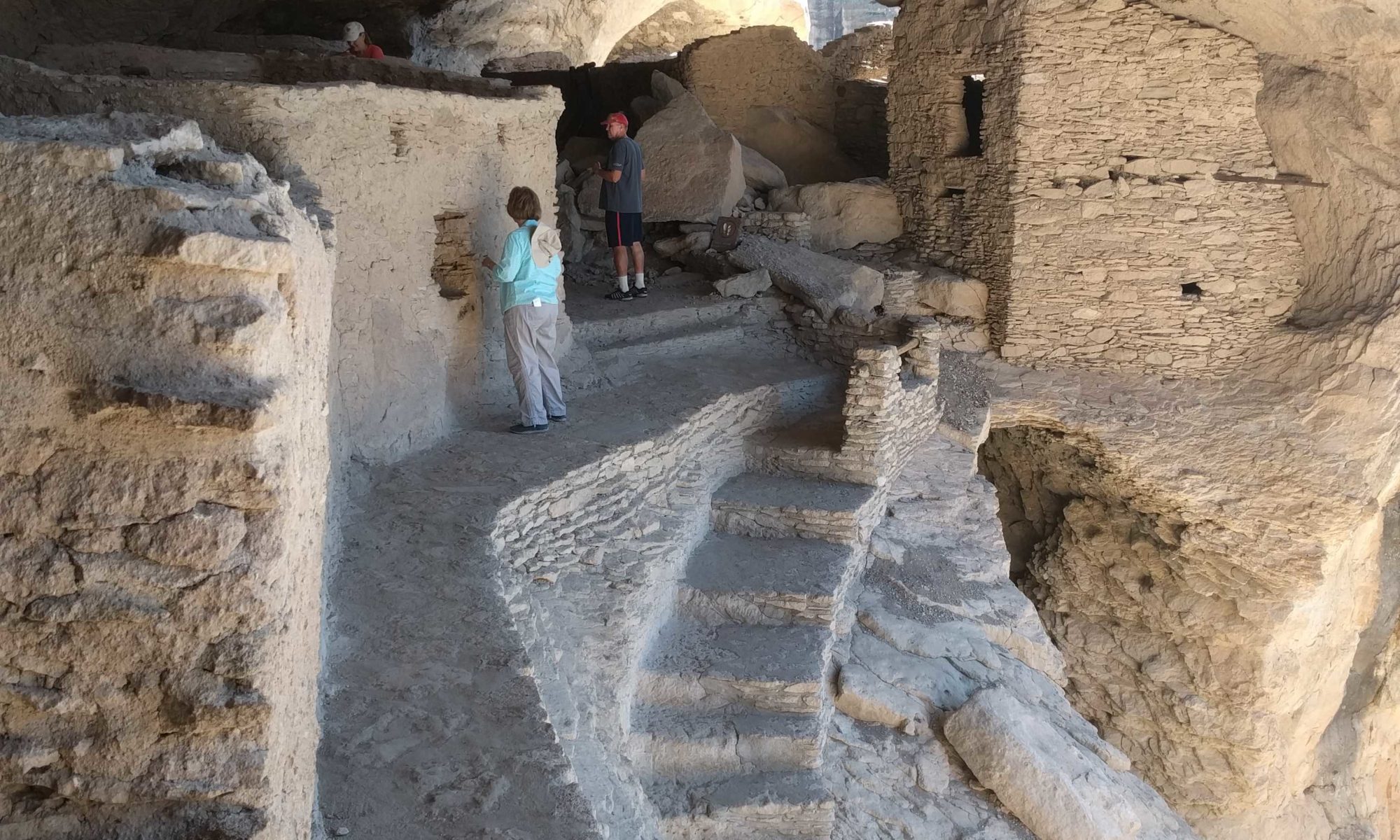
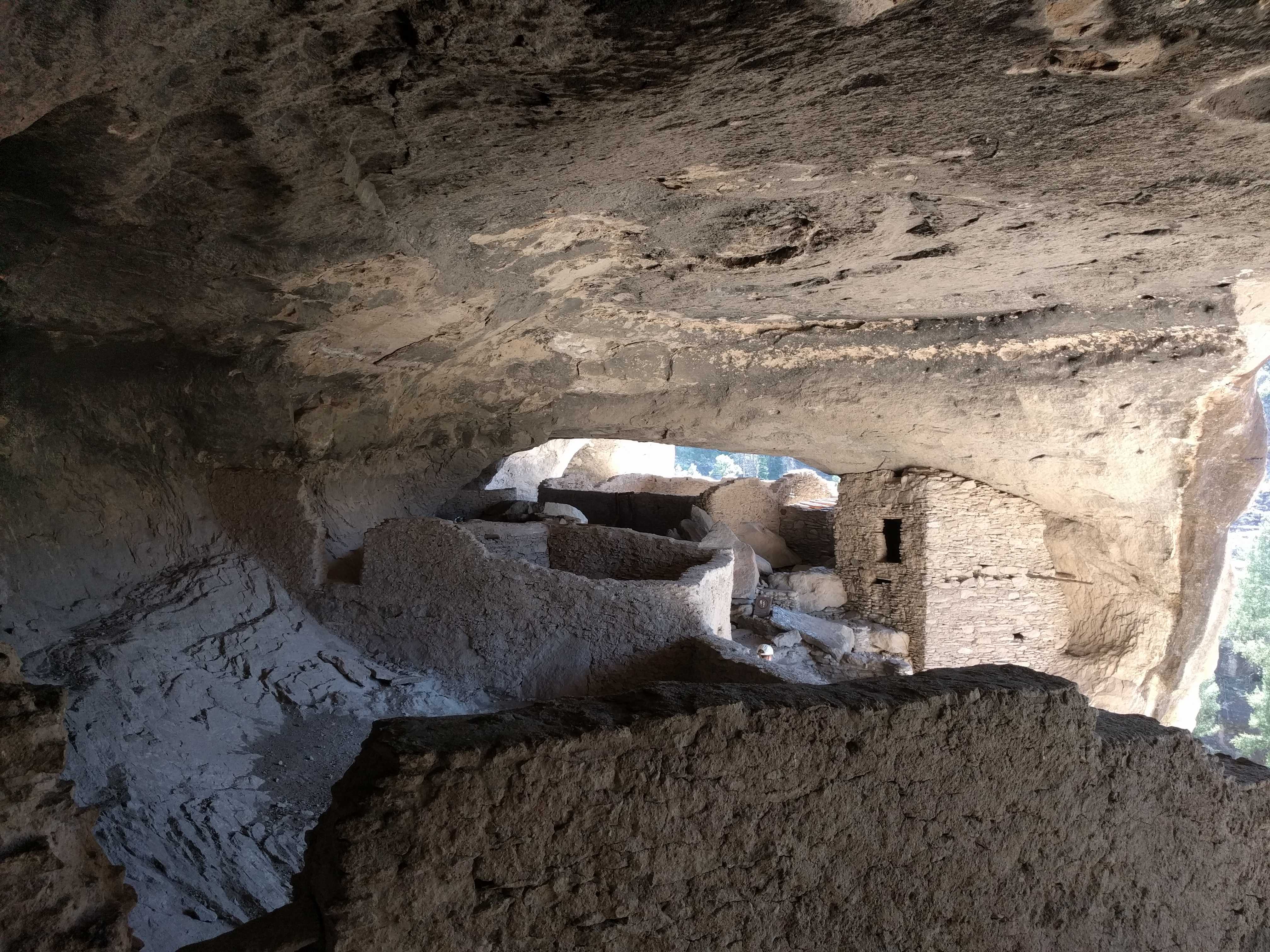
 Once we got to the first opening, there was a small staircase to get up inside. Obviously it wasn’t there when these were occupied. The site was spectacular
 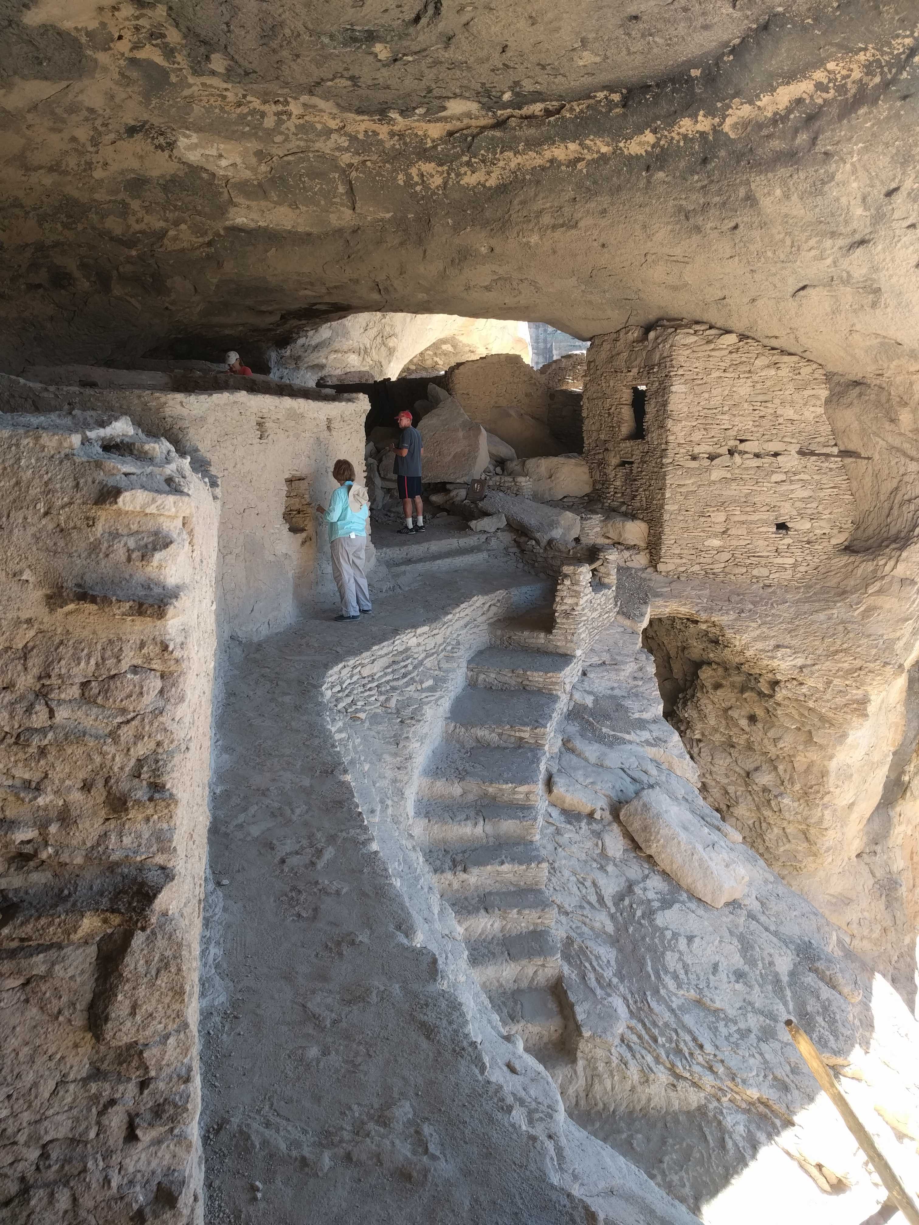 and really a lot more fun as we got to climb in and around the whole place. The other sites we visited last year were highly regulated where you could not get too close to the outside, let alone go in them. So I was not “disappointed” at all.
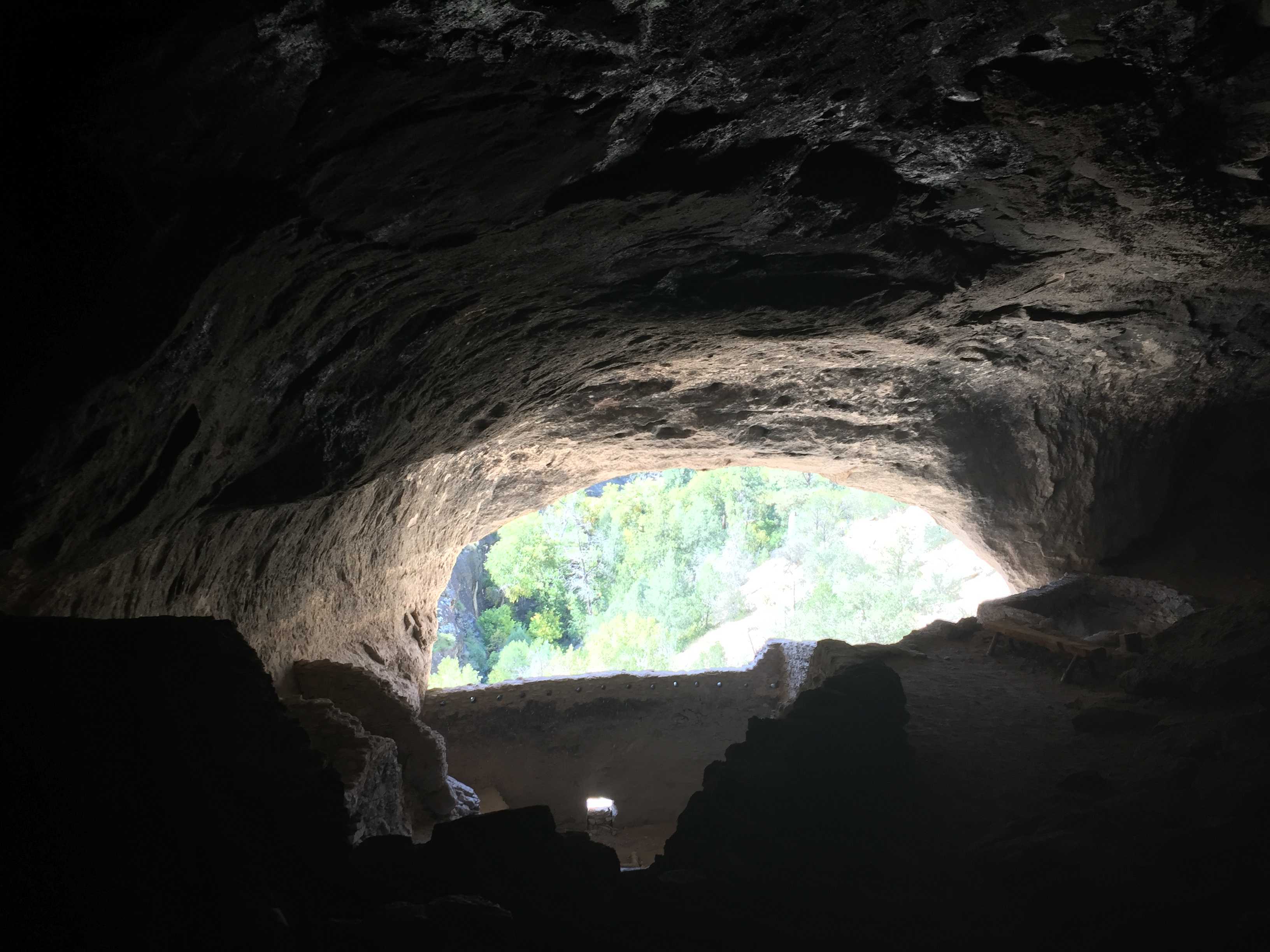
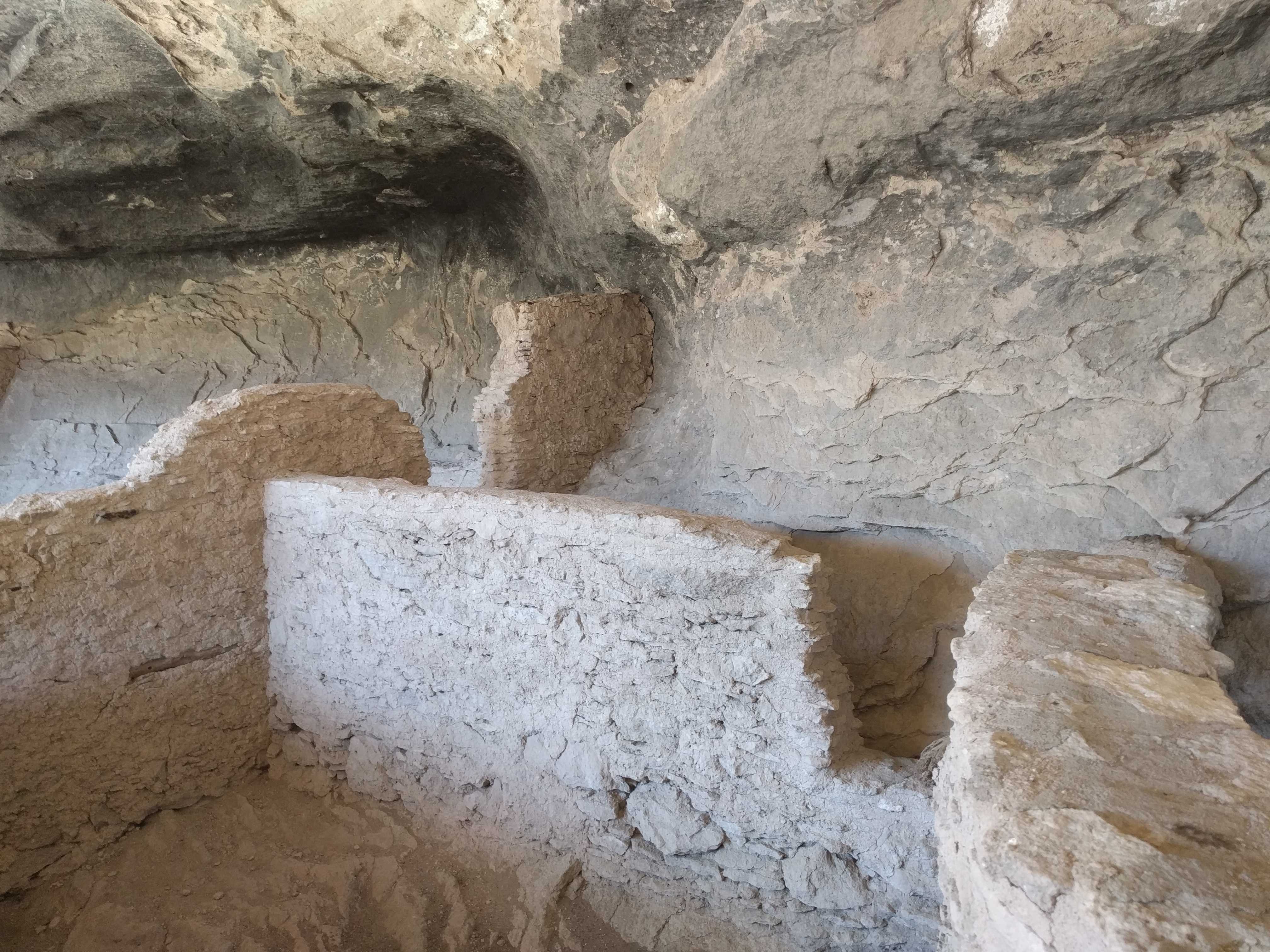
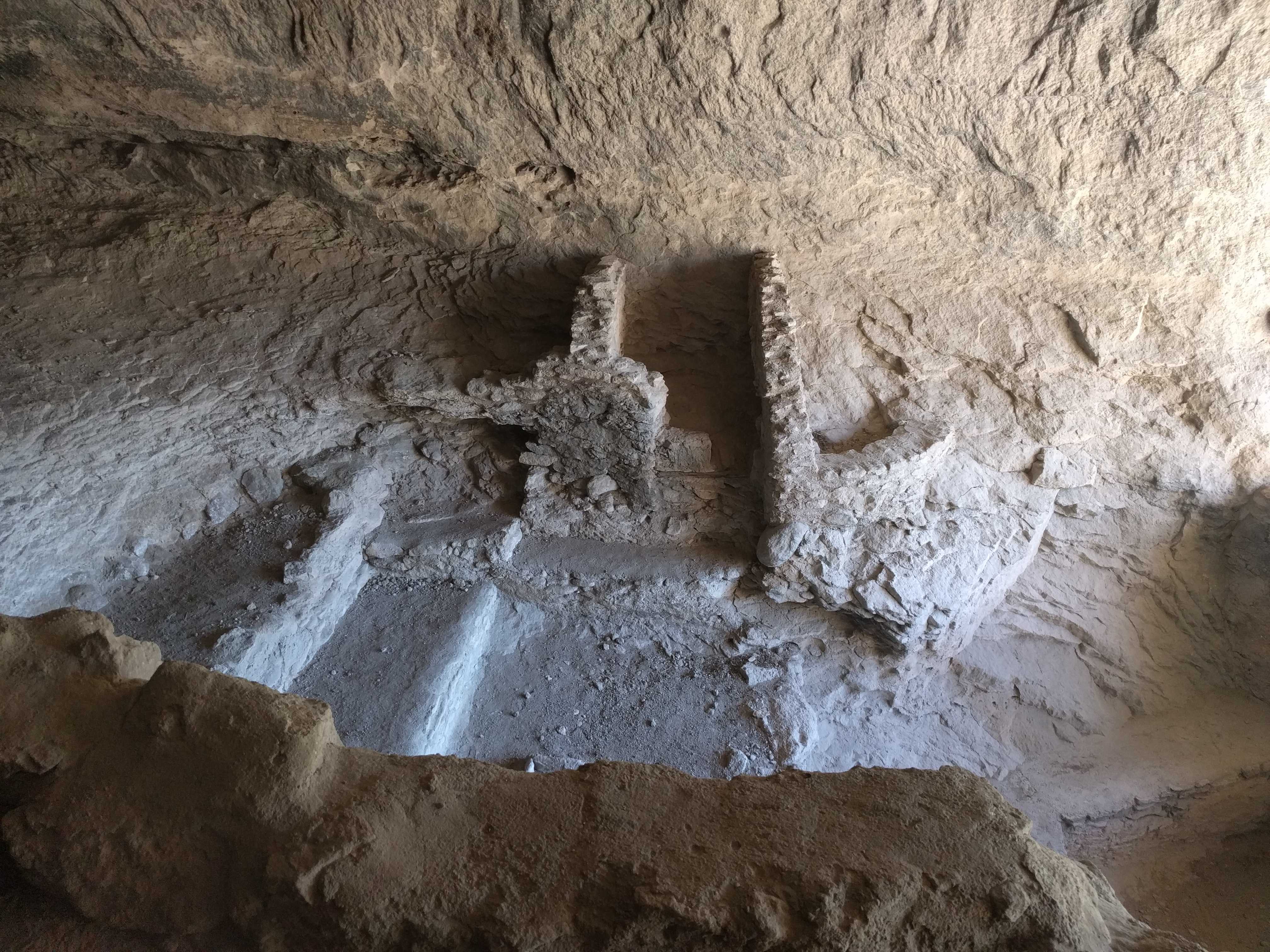
The brickwork wasn’t as nice as the Cliff Palace, but being able to touch it was pretty cool.
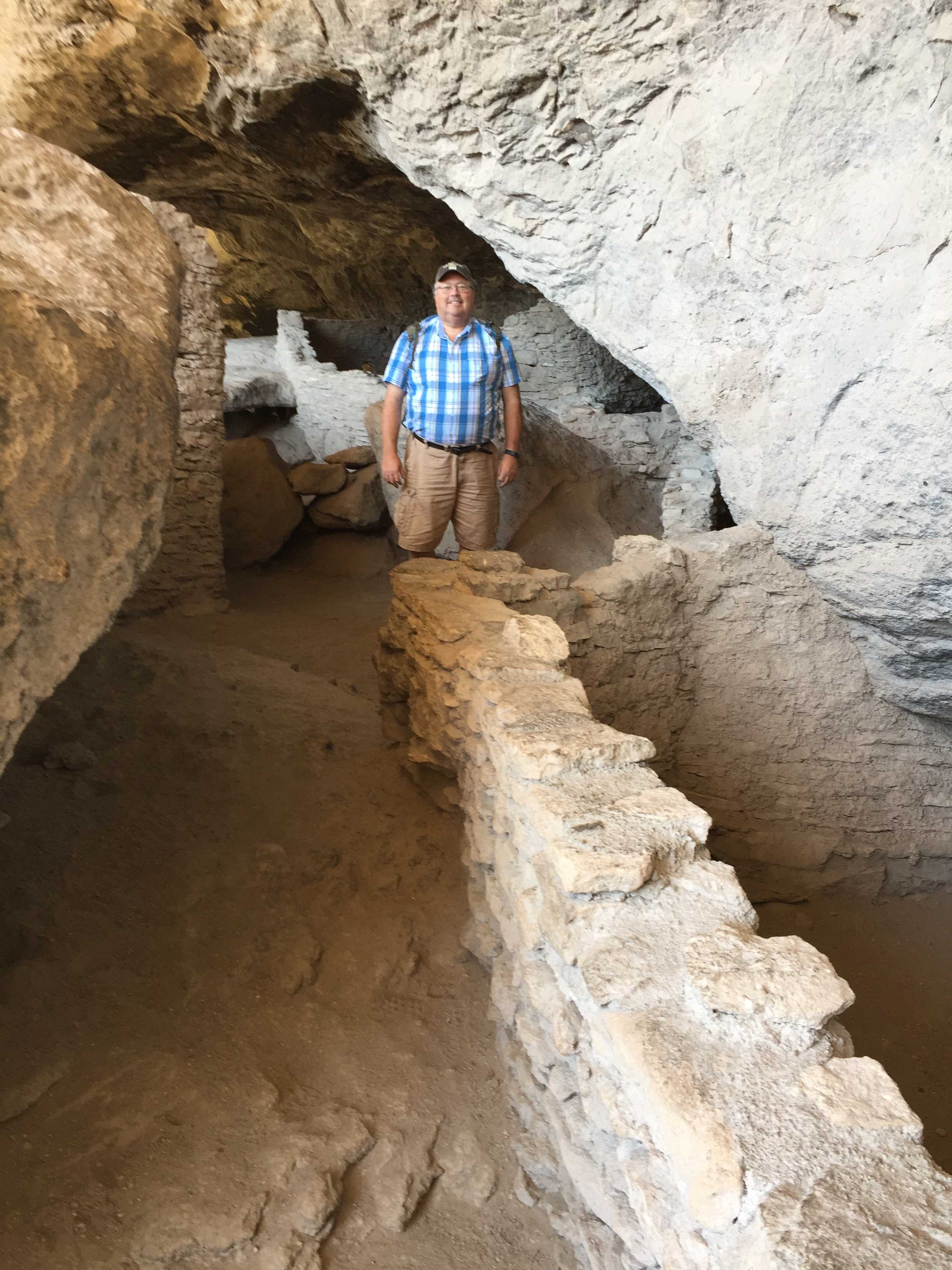
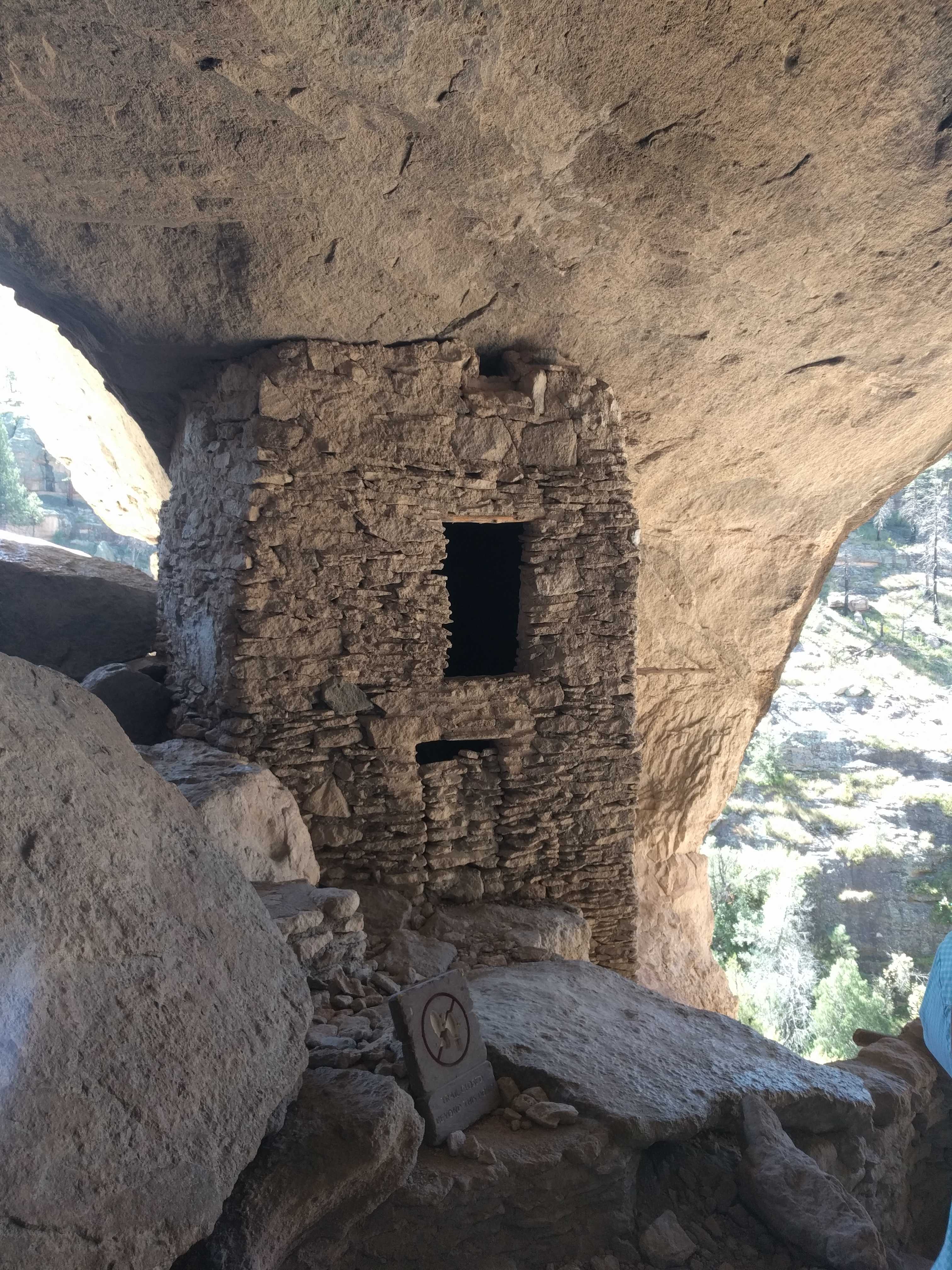
The inside of the dwelling felt like it was air conditioned, a perfect place to live in the summer months. The roof of the biggest chamber was black with soot making me wonder what it might have been like to breathe in there when fires were going. I bet no one with asthma lived in there.
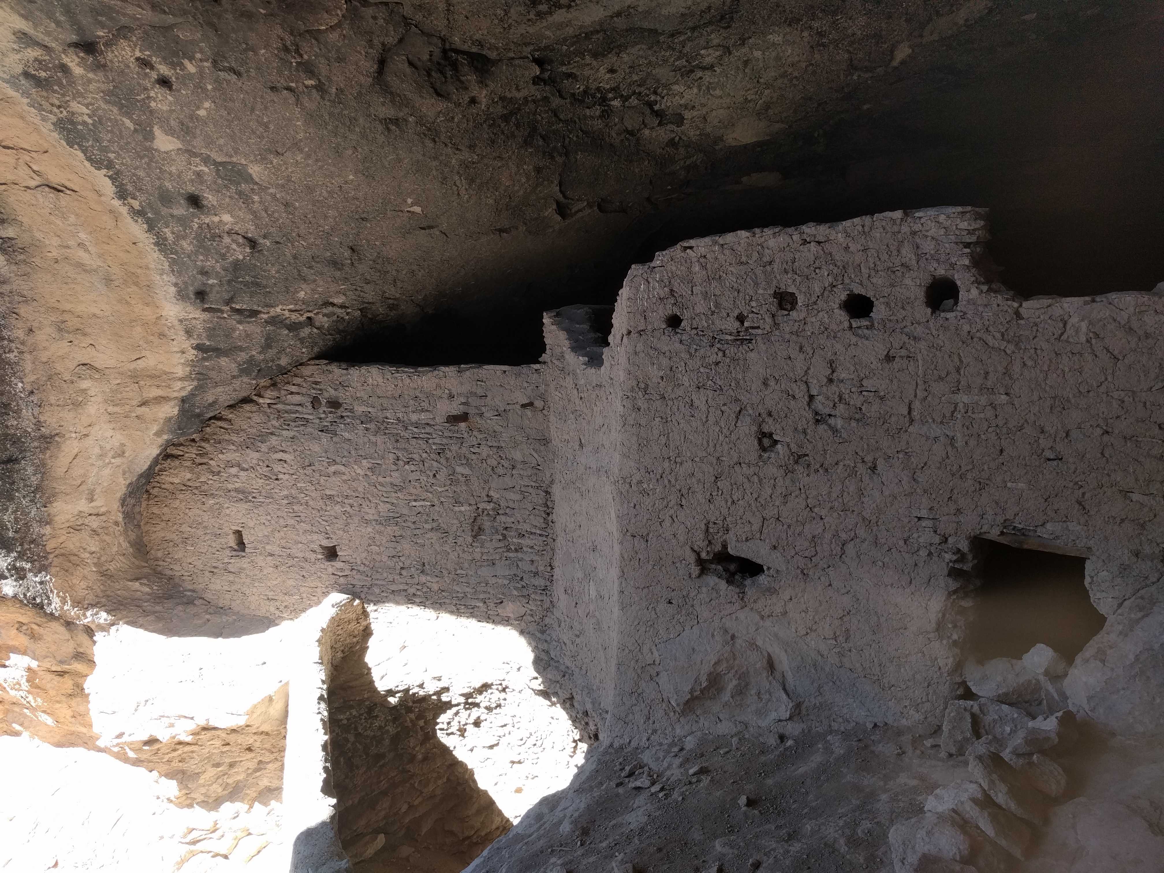
We wandered all around and went into a few of the rooms that were easy to get in. One of them had a mural painted and some carving into the adobe bricks. The mural was difficult to see, but if you got the right angle to the sunshine, you could just make it out. Probably the first American wallpaper!
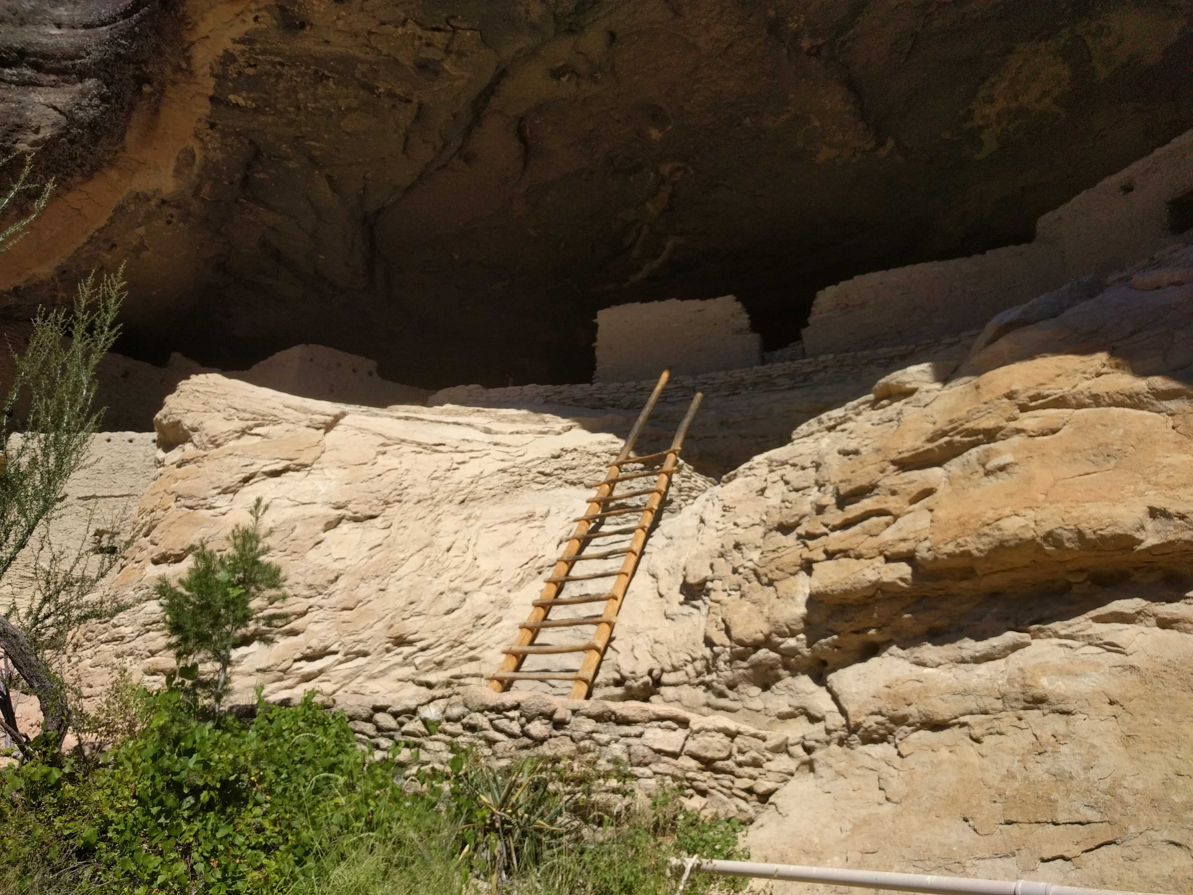
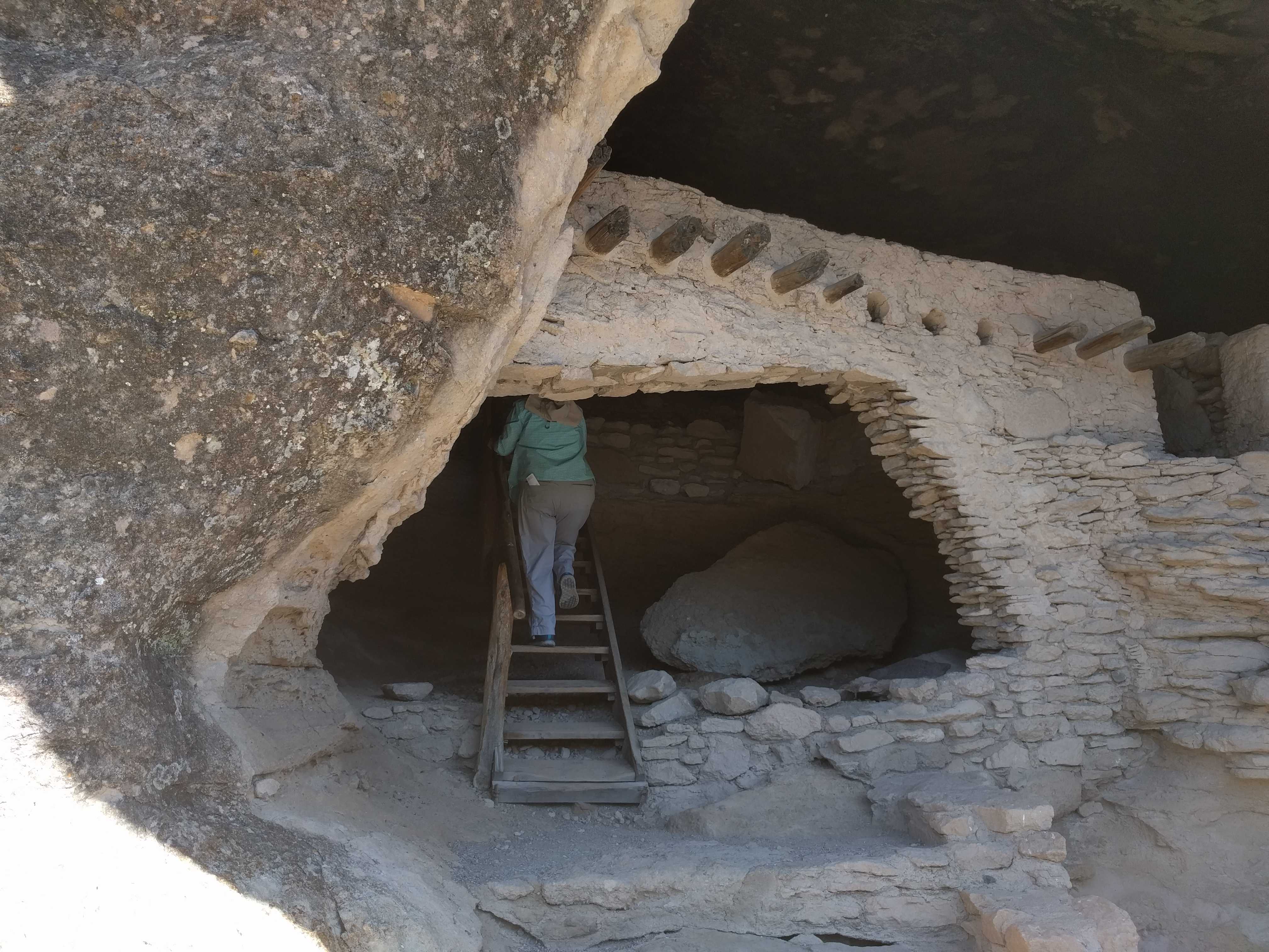
 After we thoroughly explored the place, we climbed down
 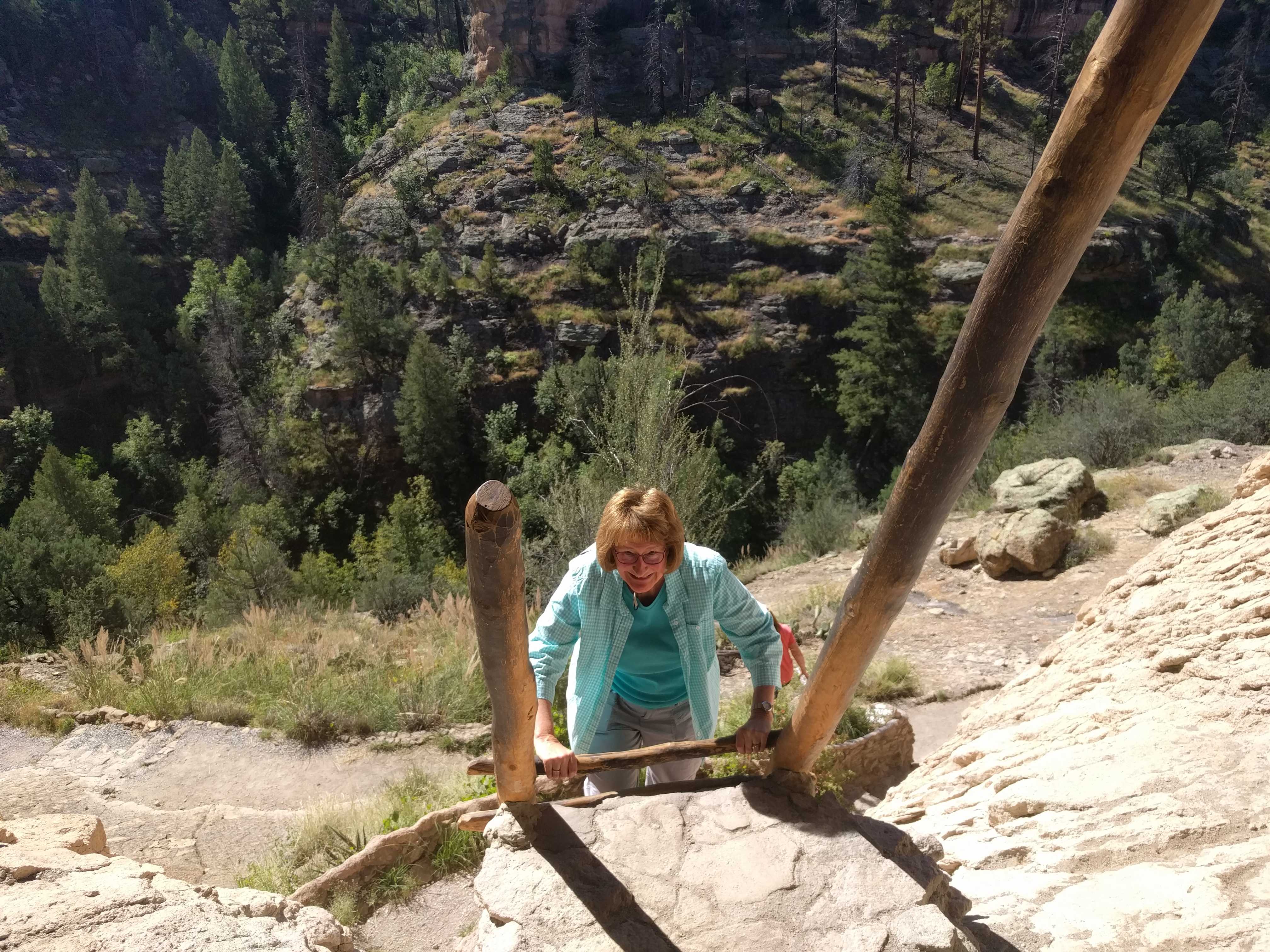 the ladder to finish the loop trail back to the trail head. This part of the trail was completely in the sun and by this time it was around noon, so it was toasty. Luckily it was all downhill, except it was much steeper (shorter distance back) and was stairs most of the way. Pretty slippery going. By the time we got all the way down to the bridge, my knee was starting to bark at me. (Almost a year healed from spraining the MCL).
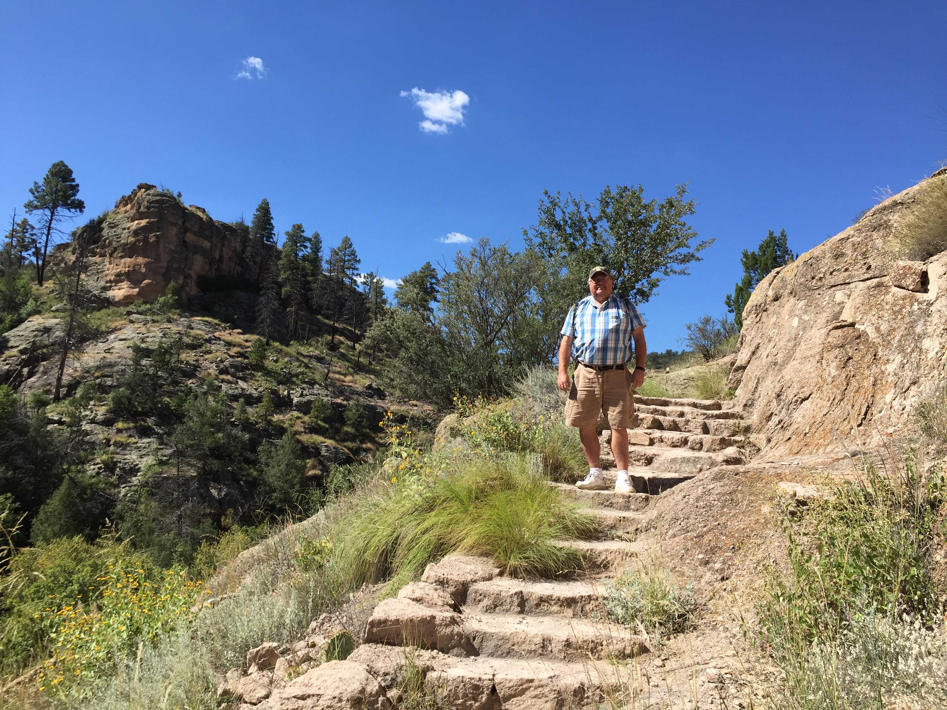
On the way back we took another route that we had passed the junction maybe 10 miles prior to the park. It looked like a much better road but was about 10 miles longer to get back. It was a good choice although Kathy wasn’t so sure. There were some gorgeous homesteads/ranches along that way. We hadn’t seen anything like them on the way up.
Just prior to the turnoff to the different road back, I pulled over and let some cars pass us, one beautiful convertible Porsche and a gaggle of BMW motorcycles behind the cars.
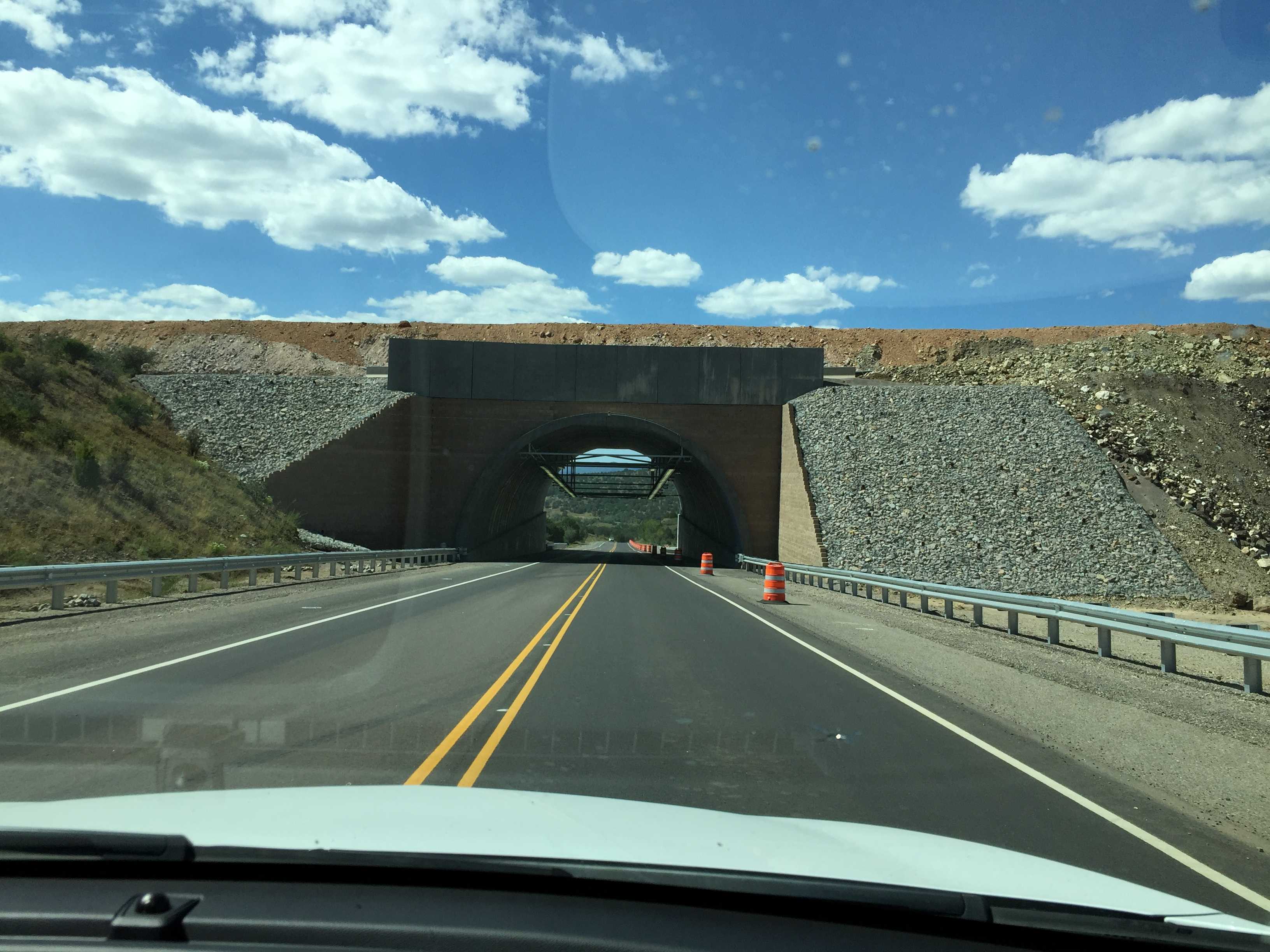 On the road back we passed a huge open pit mine with its overlook fenced off. Not sure what was up with that. It also had an out-of-place overpass built across the highway. Apparently the large mining trucks needed to get to the other side was my best guess.
Just prior to the turn off to the RV park, I saw the same BMW motorcycles heading the opposite direction. So the extra 10 miles on the better road we went on the way back had about the same travel time!