Hurricane Ridge and Salt Creek

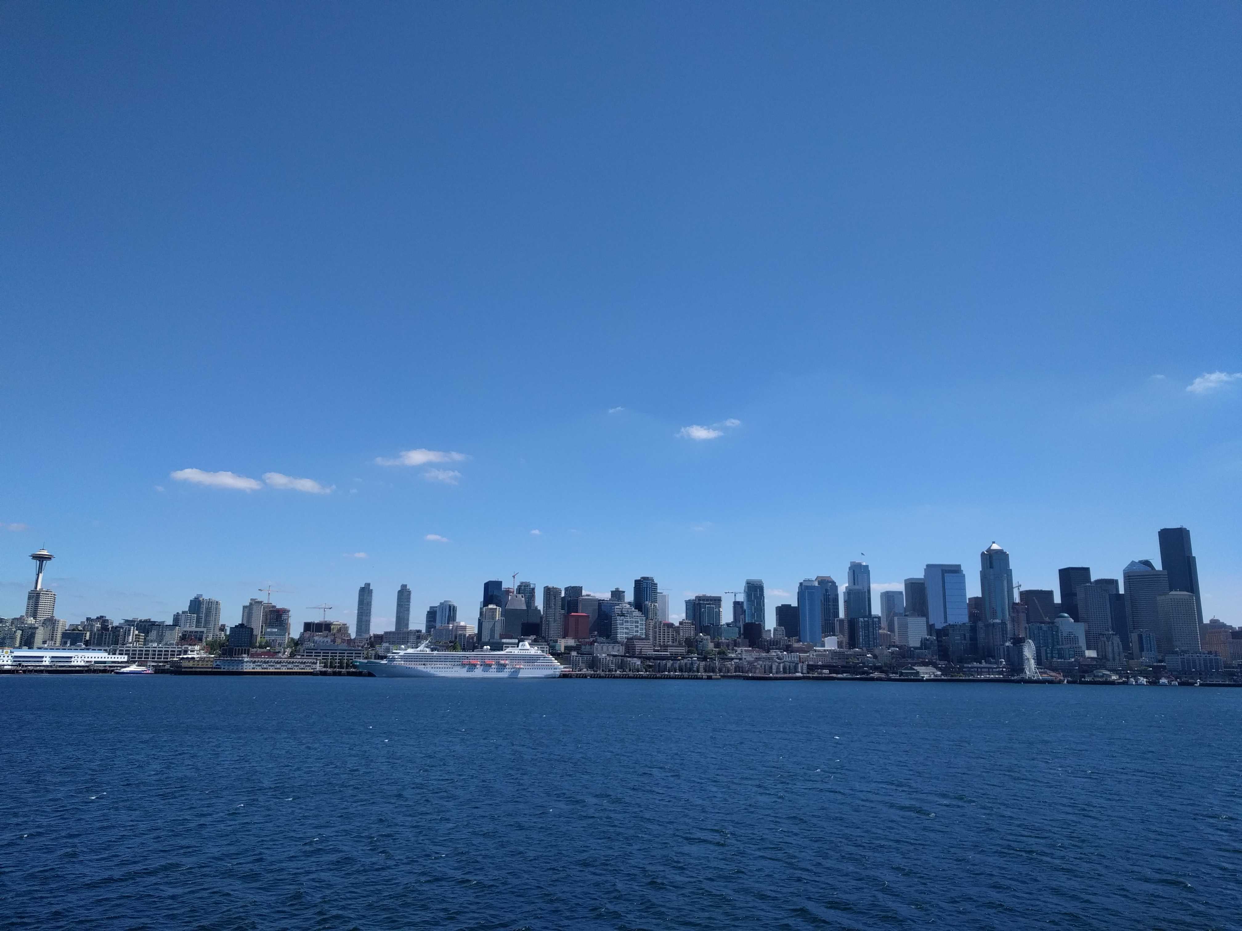
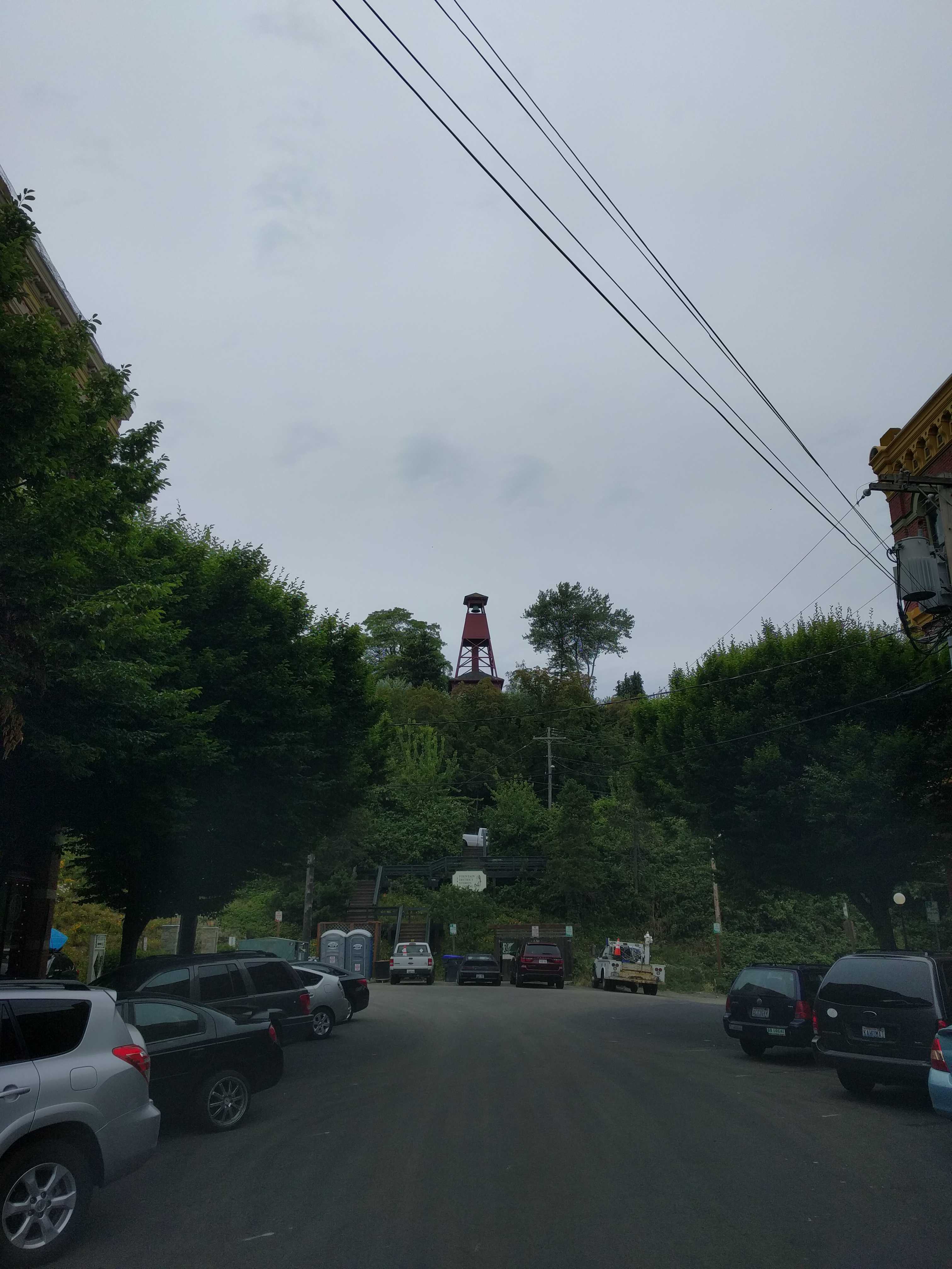
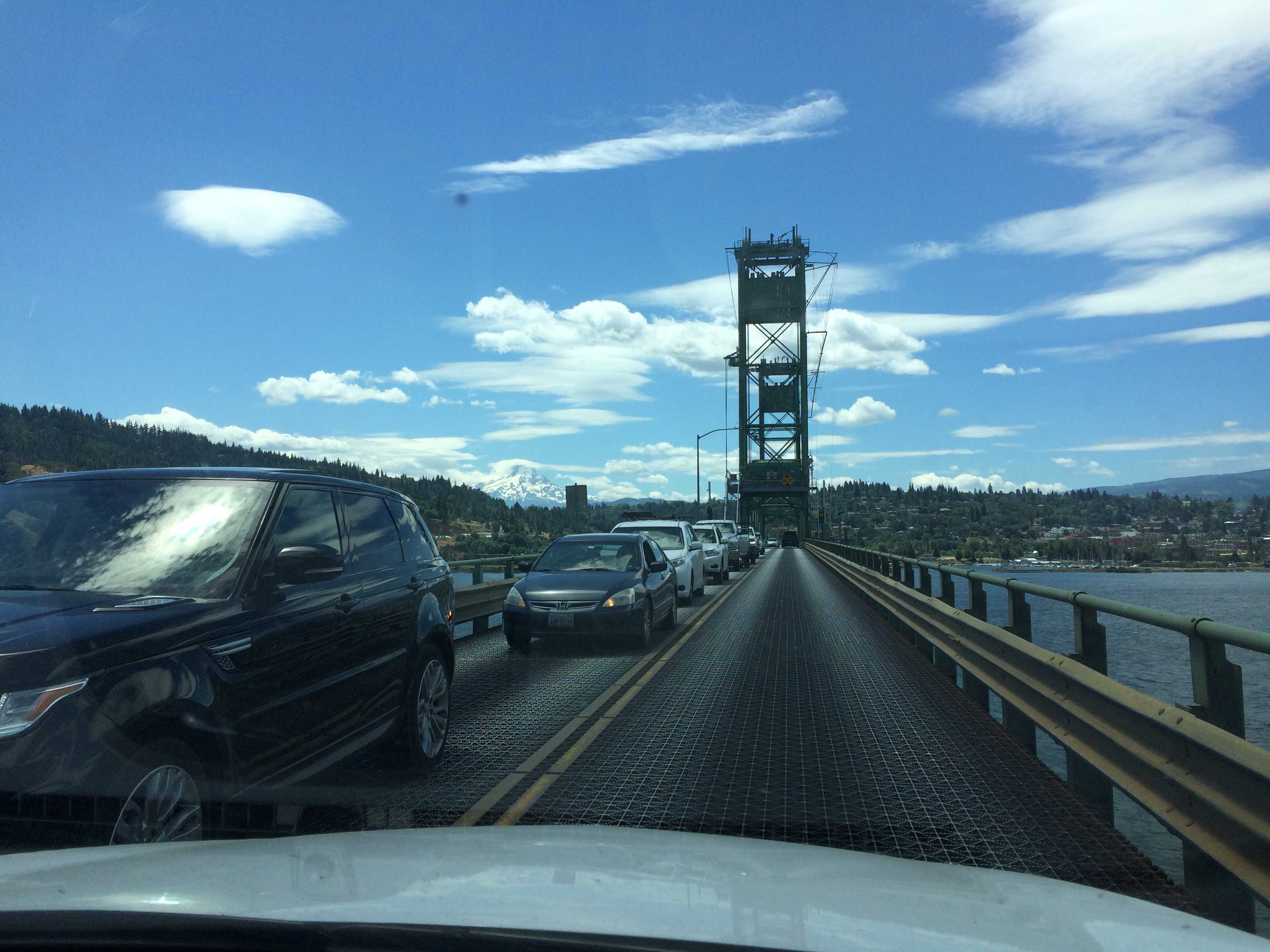
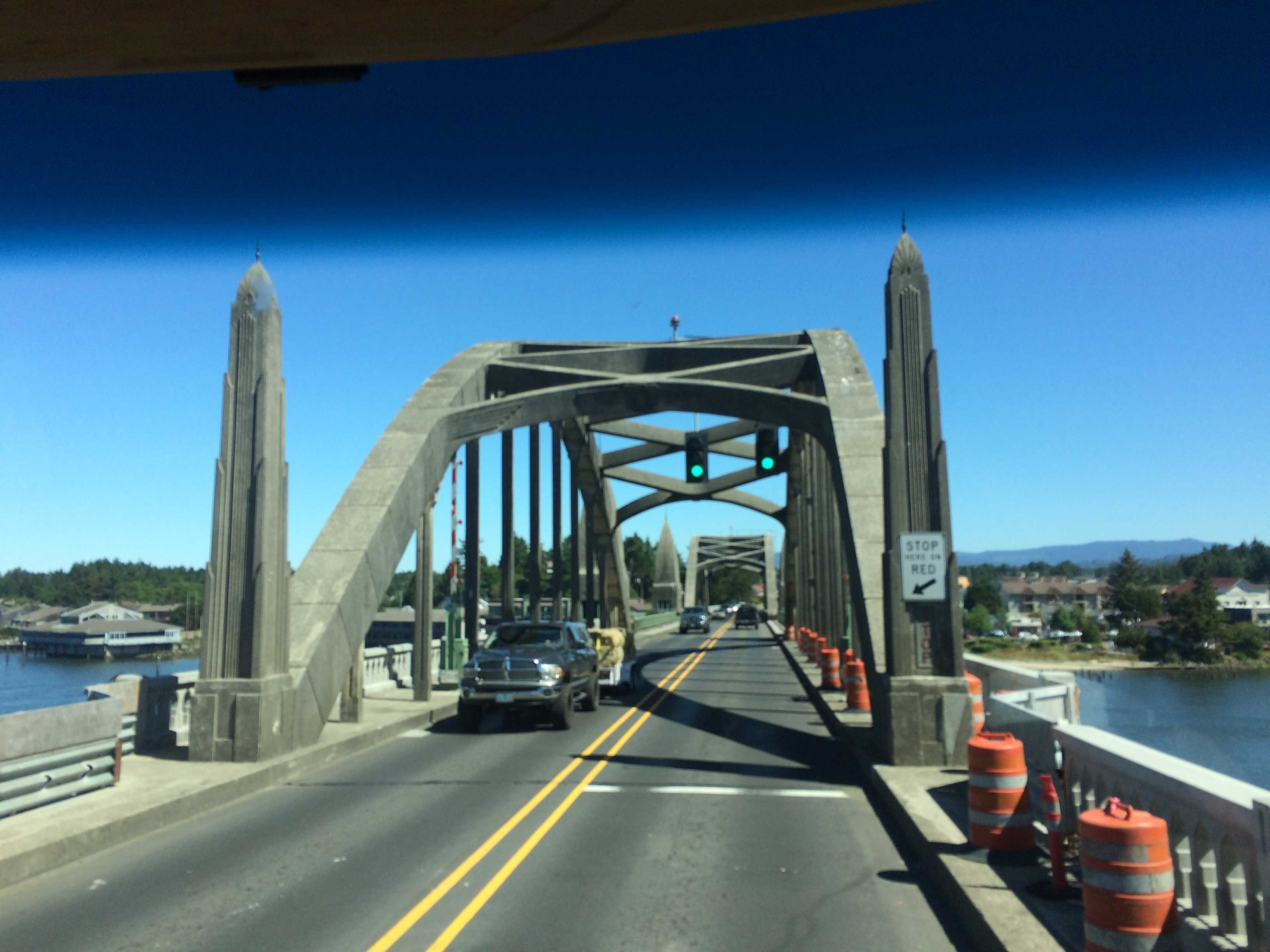
We didn’t get on the road till after 1 pm on Thursday afternoon.   It was turning out to be one of the warmest days since we left San Diego over a month ago.   We headed west on the 101.   Yes, it’s 101 west up here where it makes a big loop around the Olympic Peninsula and reconnects back to itself down near Olympia, WA.   We are still wondering how we missed the other 101 as we must have driven right past it on our way north on the 101.   Kathy was very curious what it would have been called there,  also 101 West?

Anyway,  we went searching for Salt Creek Park and Tongue Point that juts out into the Strait of Juan de Fuca.   Not long after leaving the park,  which is buried in the woods, we came around a sharp corner and a small deer was slowly walking across the road.   I had to slam on my brakes,  and the deer wasn’t fazed.  It just kept slowly walking till just before the guard rail where it bounded over it.   Unfortunately, it looked like a steep drop on the other side.   Kathy was upset at me for almost hitting it and causing it to jump into the abyss.  It didn’t even seem like it noticed us to me.

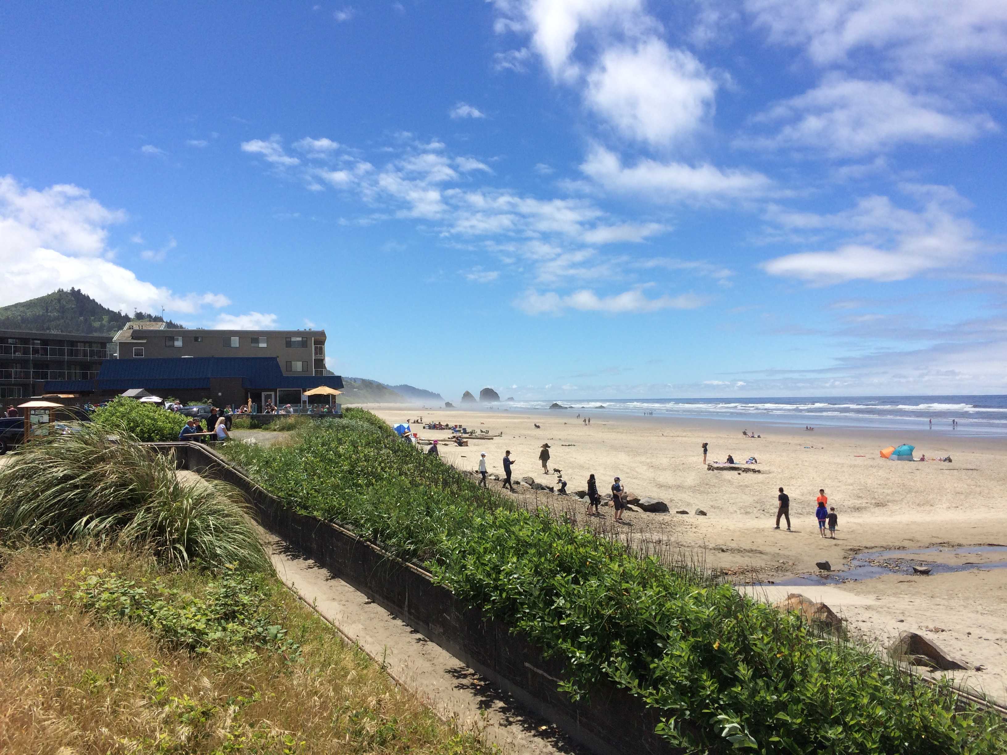
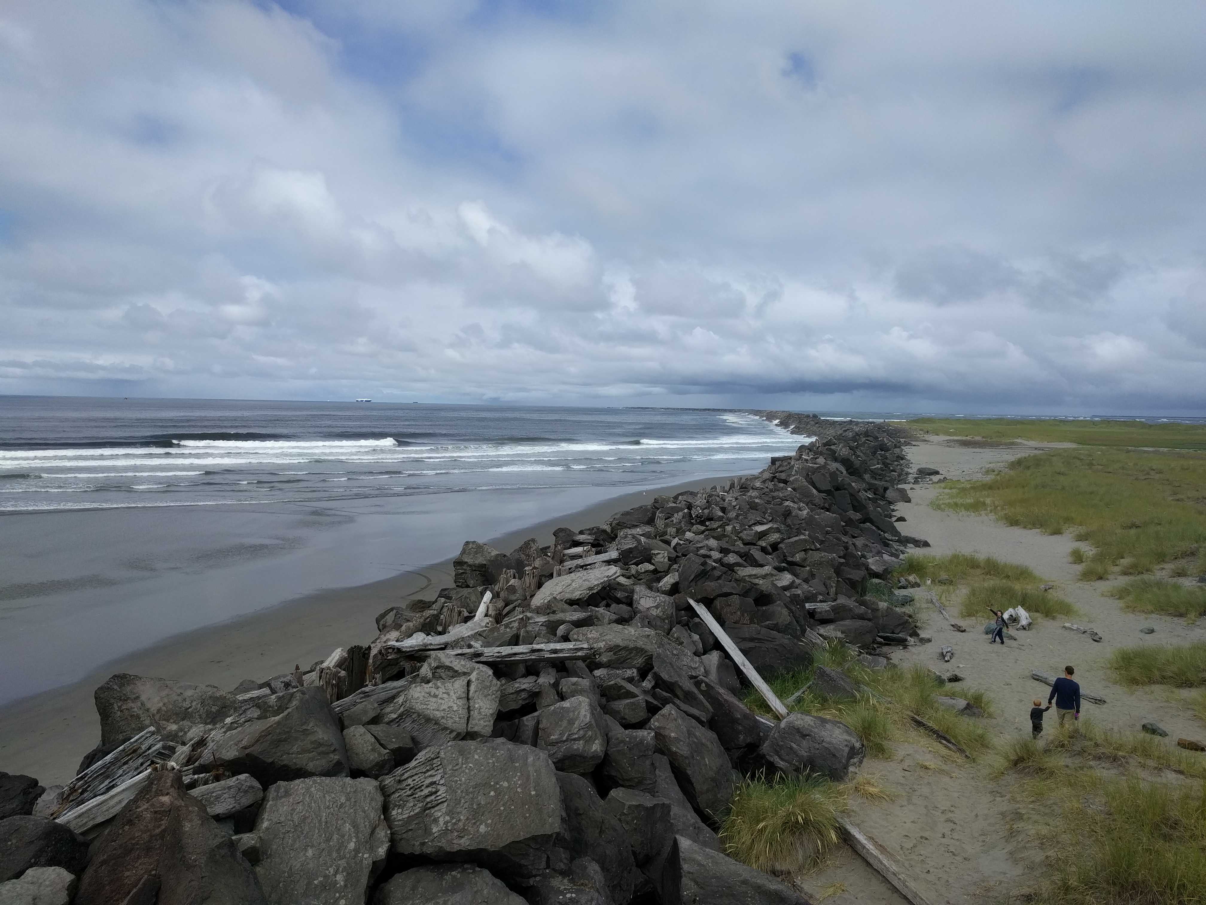
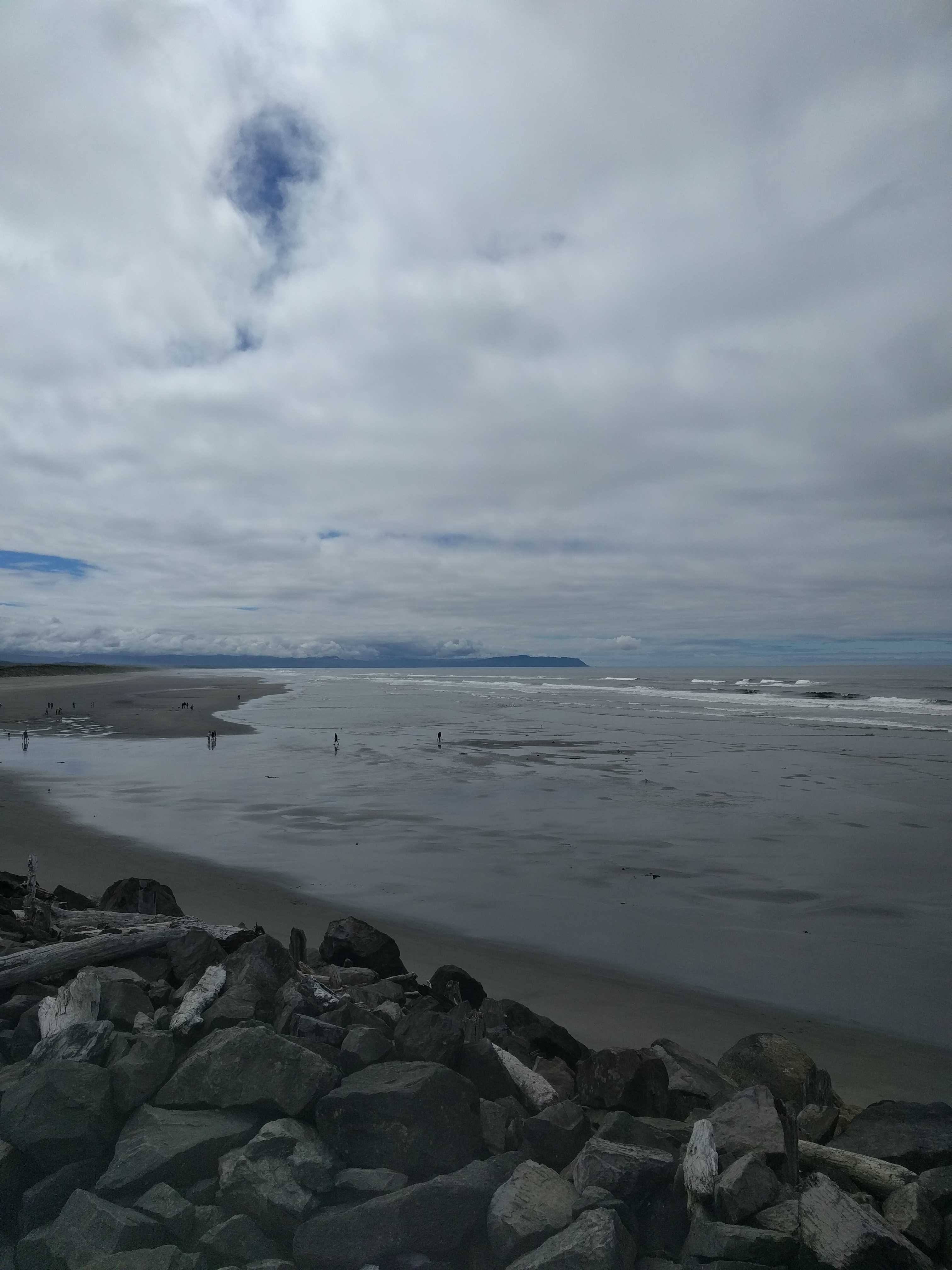
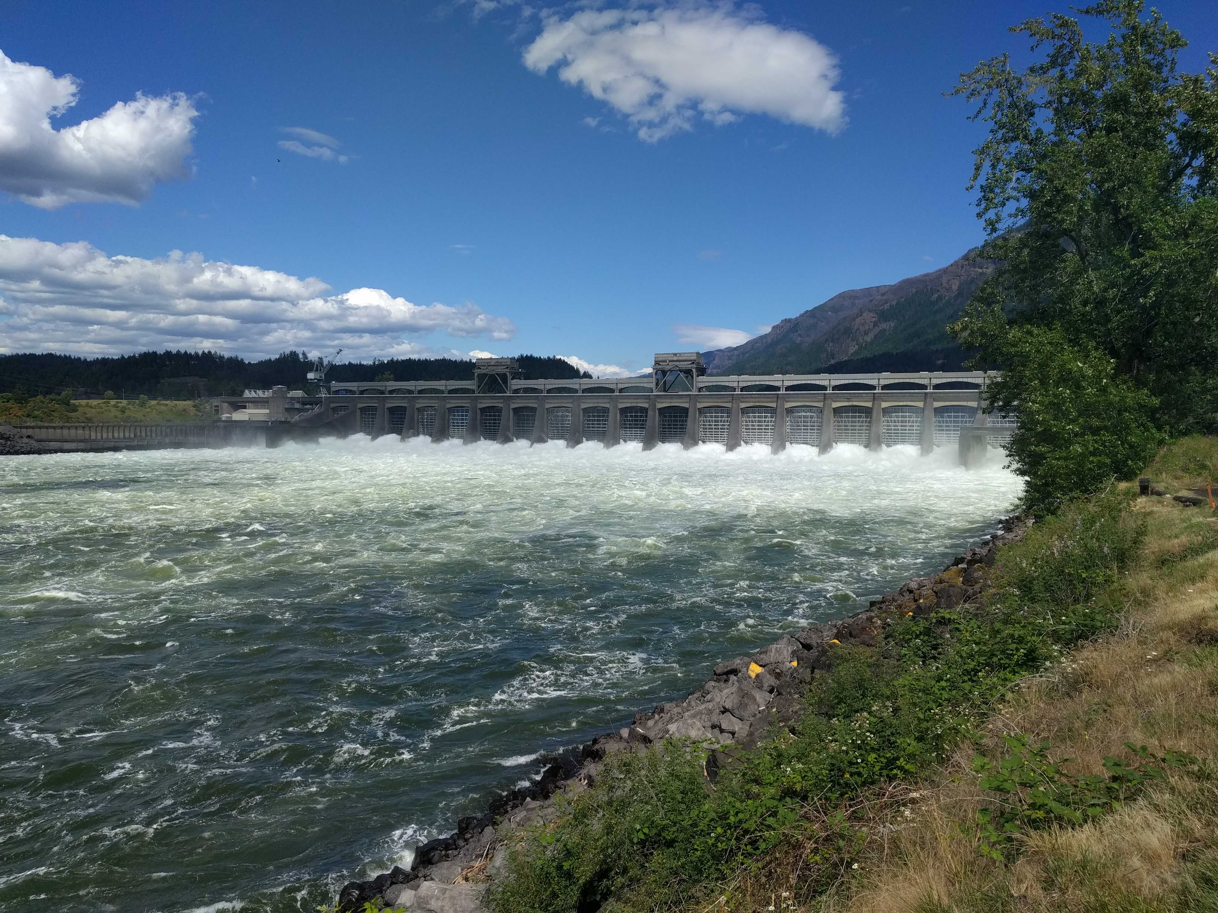
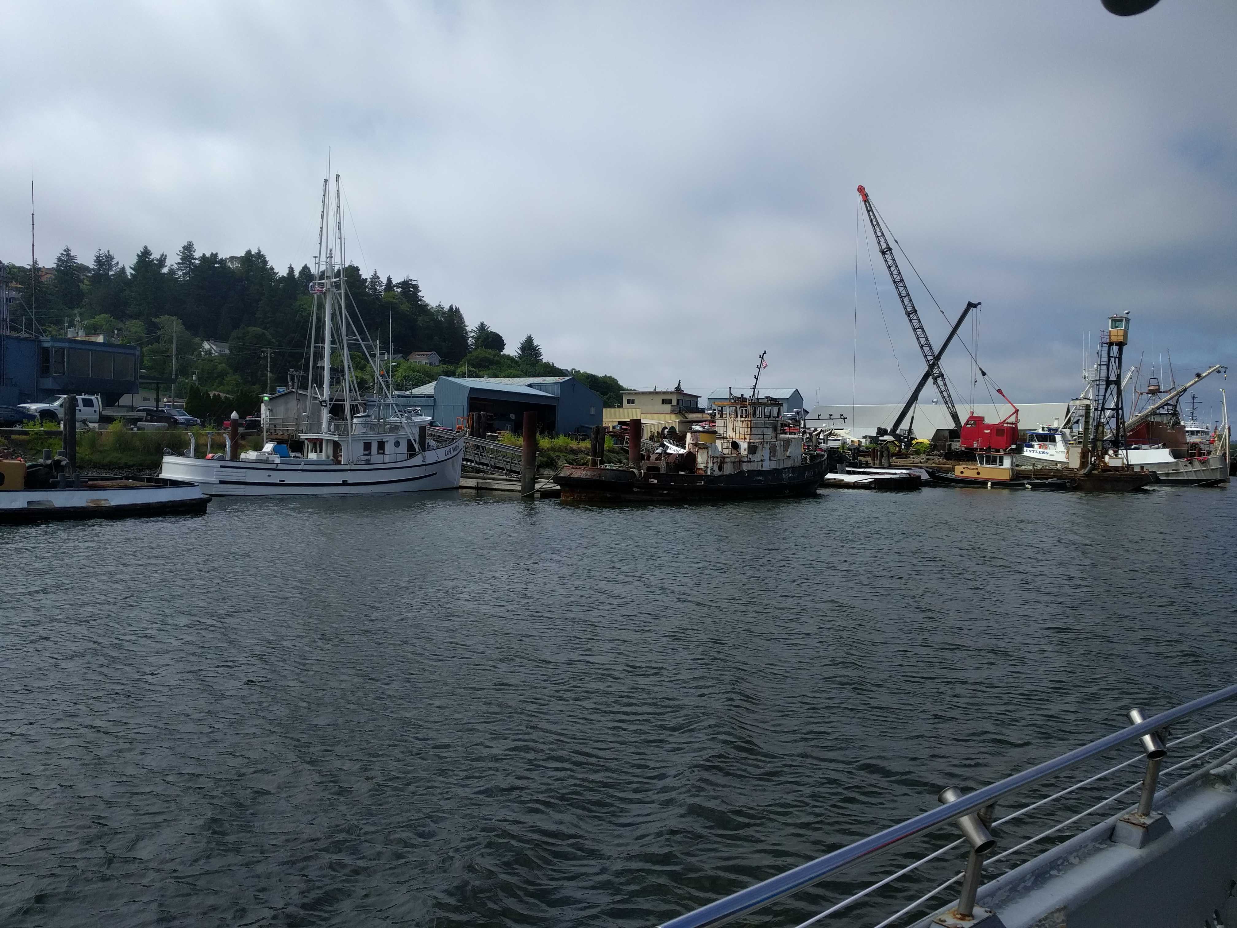
After about an hour’s drive, we found a small sign for the park campground.   I assumed we still needed to drive further along the road to find the point, so I kept driving.  Within a couple of minutes we were 
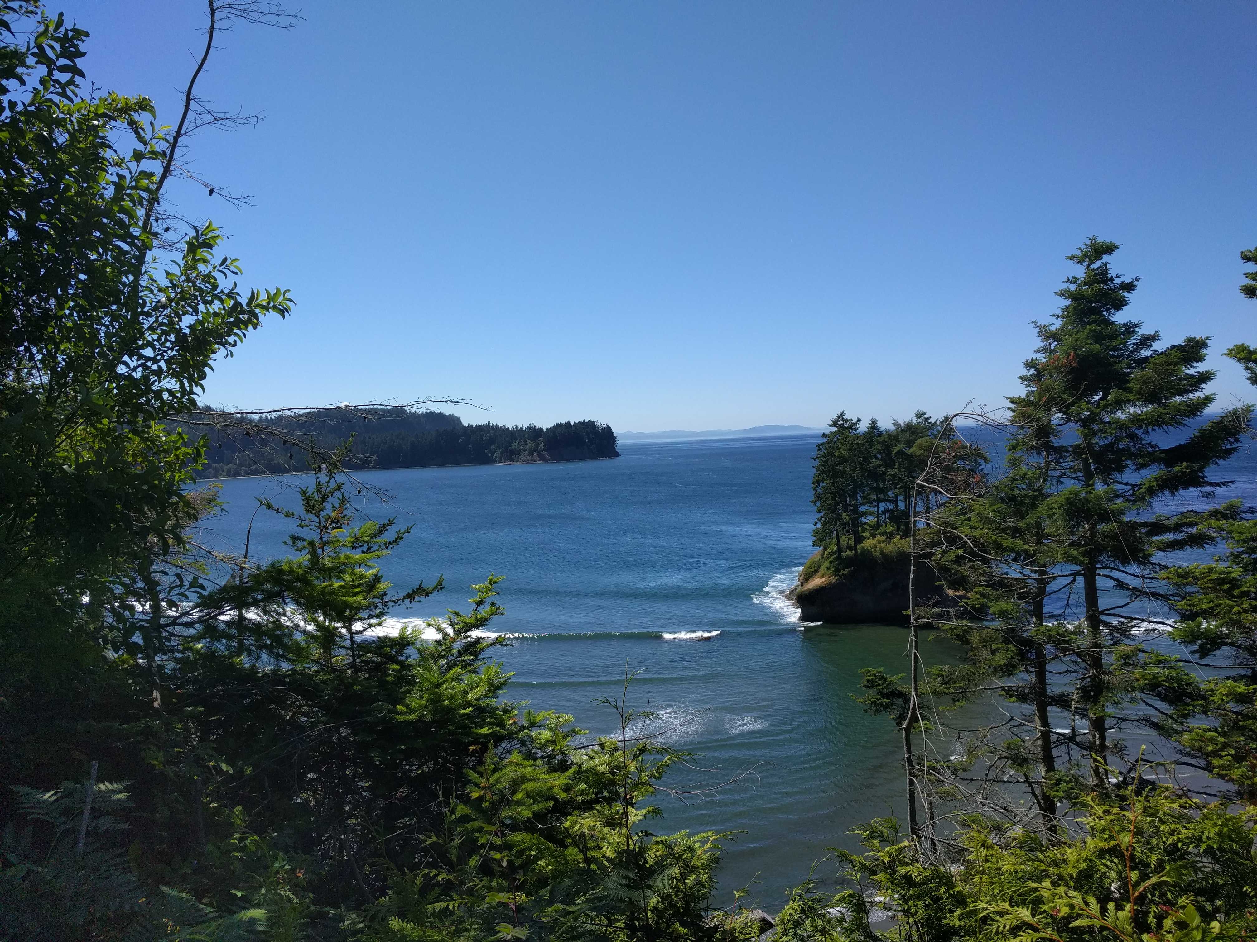
down at a large crescent-shaped beach with actual waves.   We were at least 30 miles from the ocean at that point, so seeing what looked like ocean waves was a surprise.   There was this nice looking campground on the other side of the road from the beach and we saw a few folks crossing the road to get to it.

We kept driving and the road kept getting closer and closer to the water until the road started to climb a cliff along it and then turned in toward the highway, all the time getting narrower.  It wasn’t wide to begin with and was just a lane wide when I decided to pull into a dirt road to check the map.   I noticed that we should have turned off at the park sign, so we turned around and headed back to it, passing the beautiful beach and wondering how cold that water was in the middle of July.

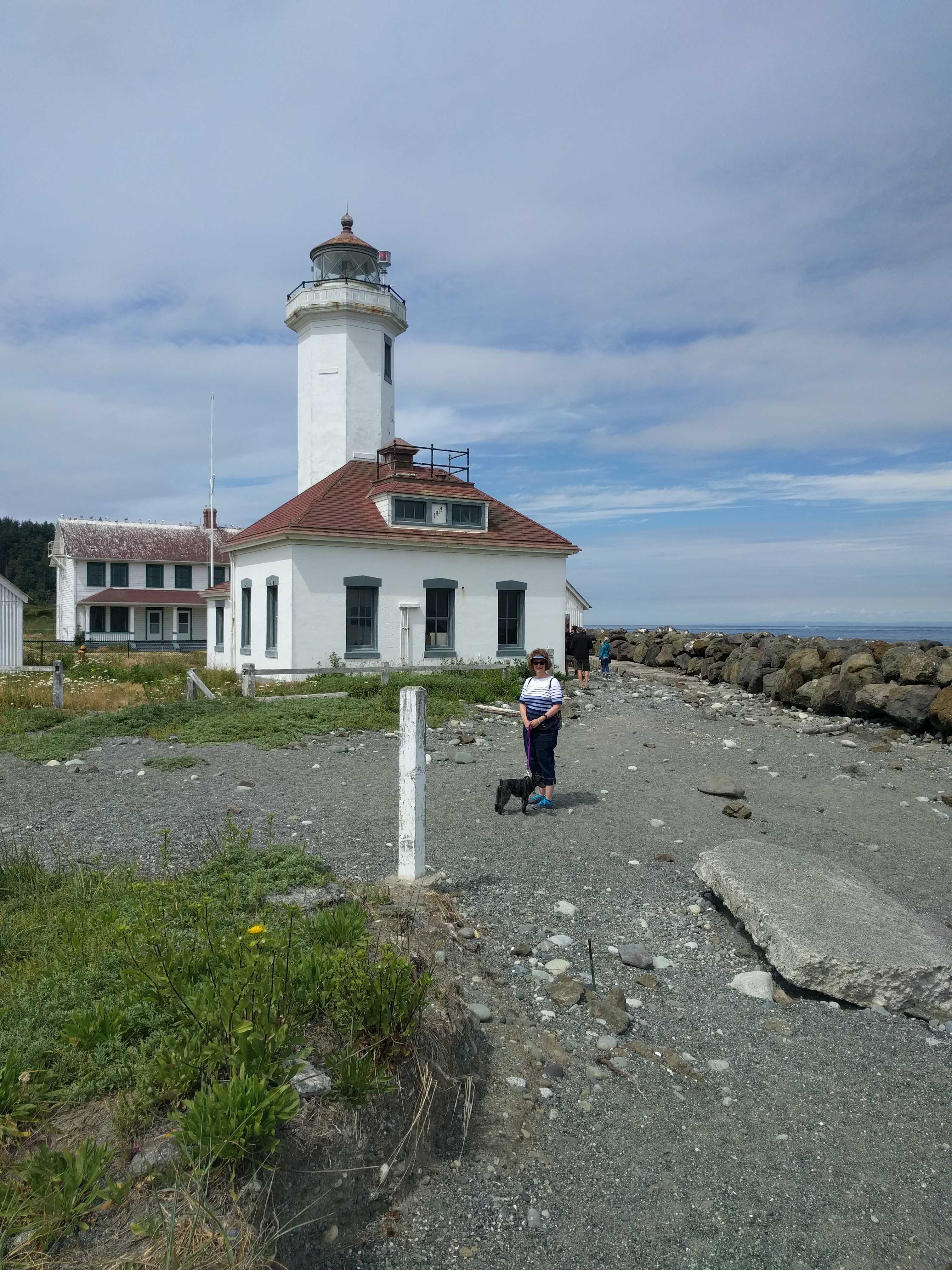
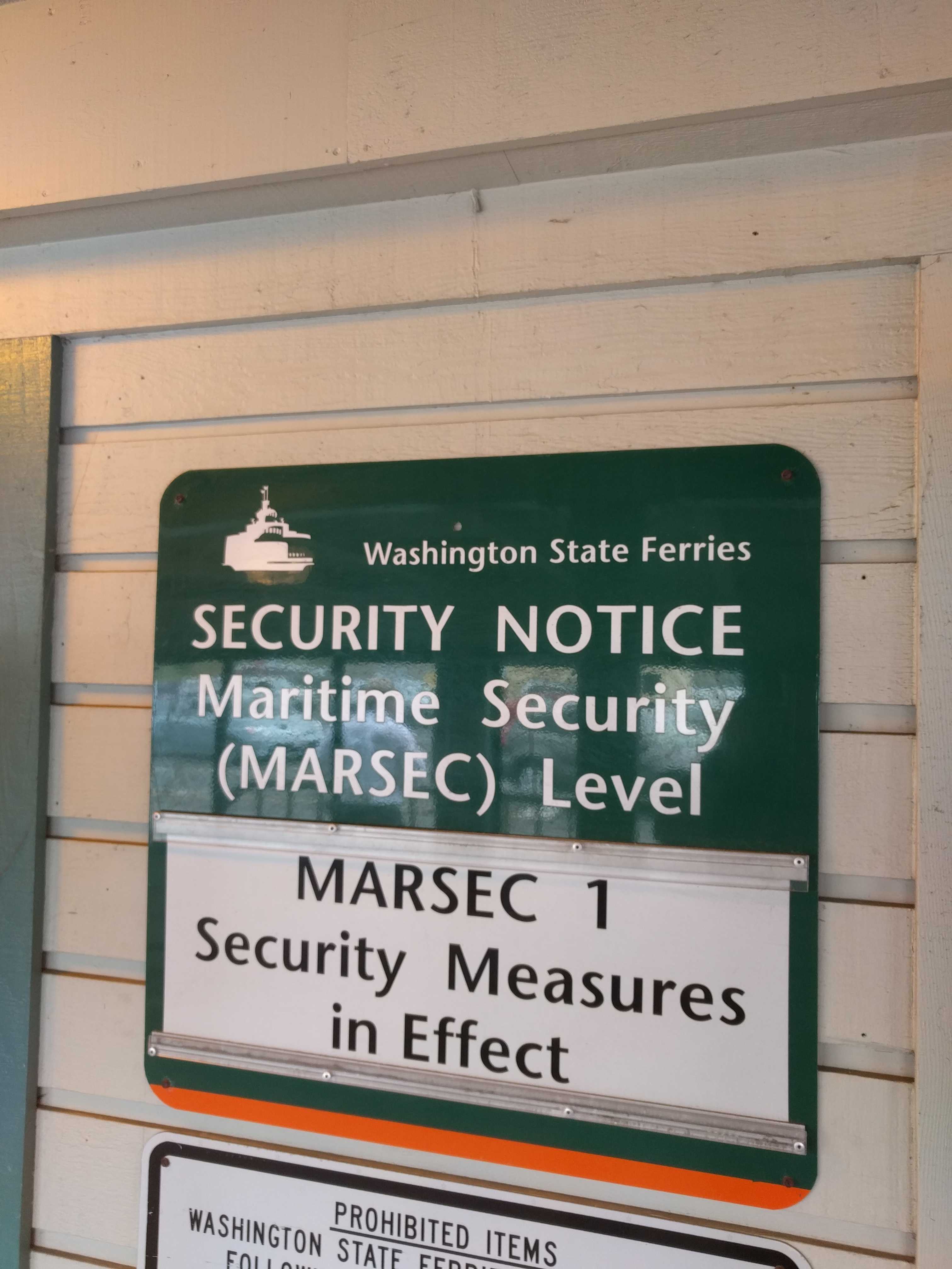
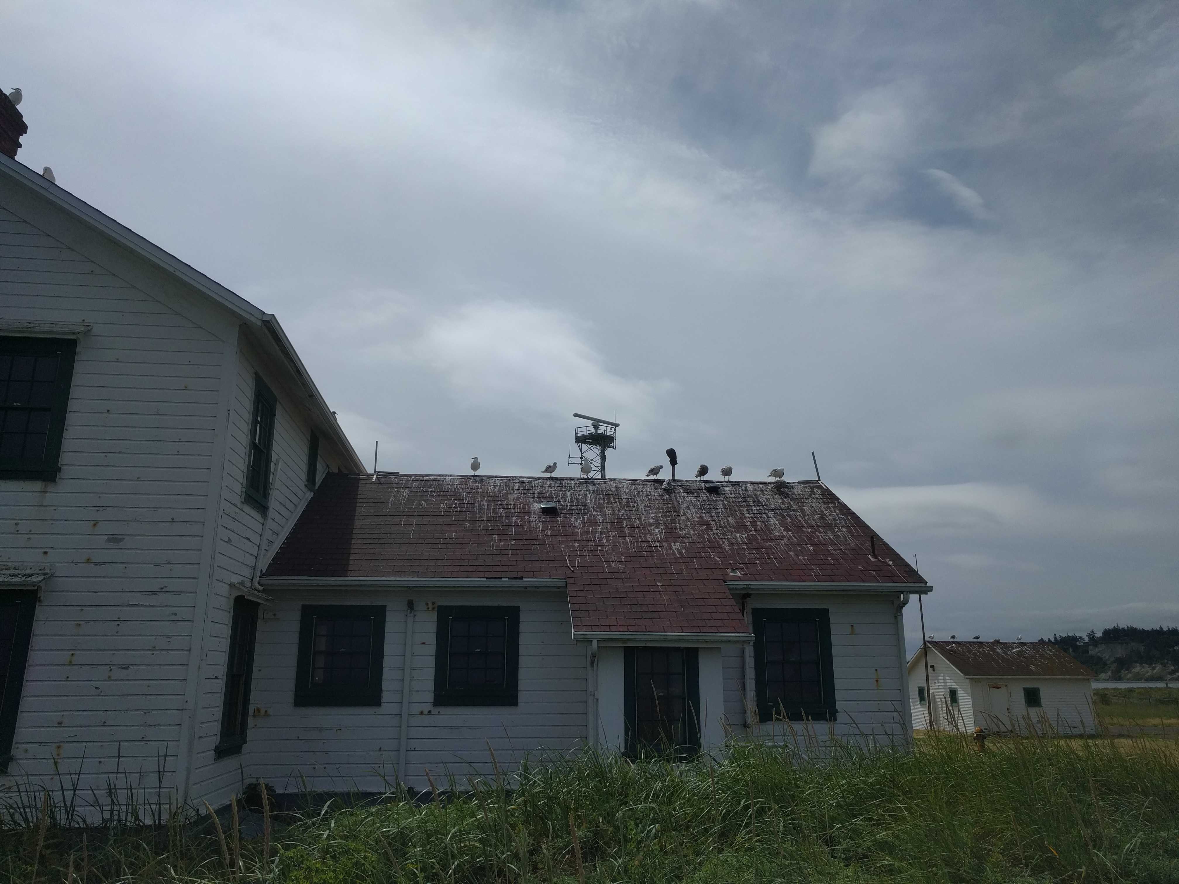
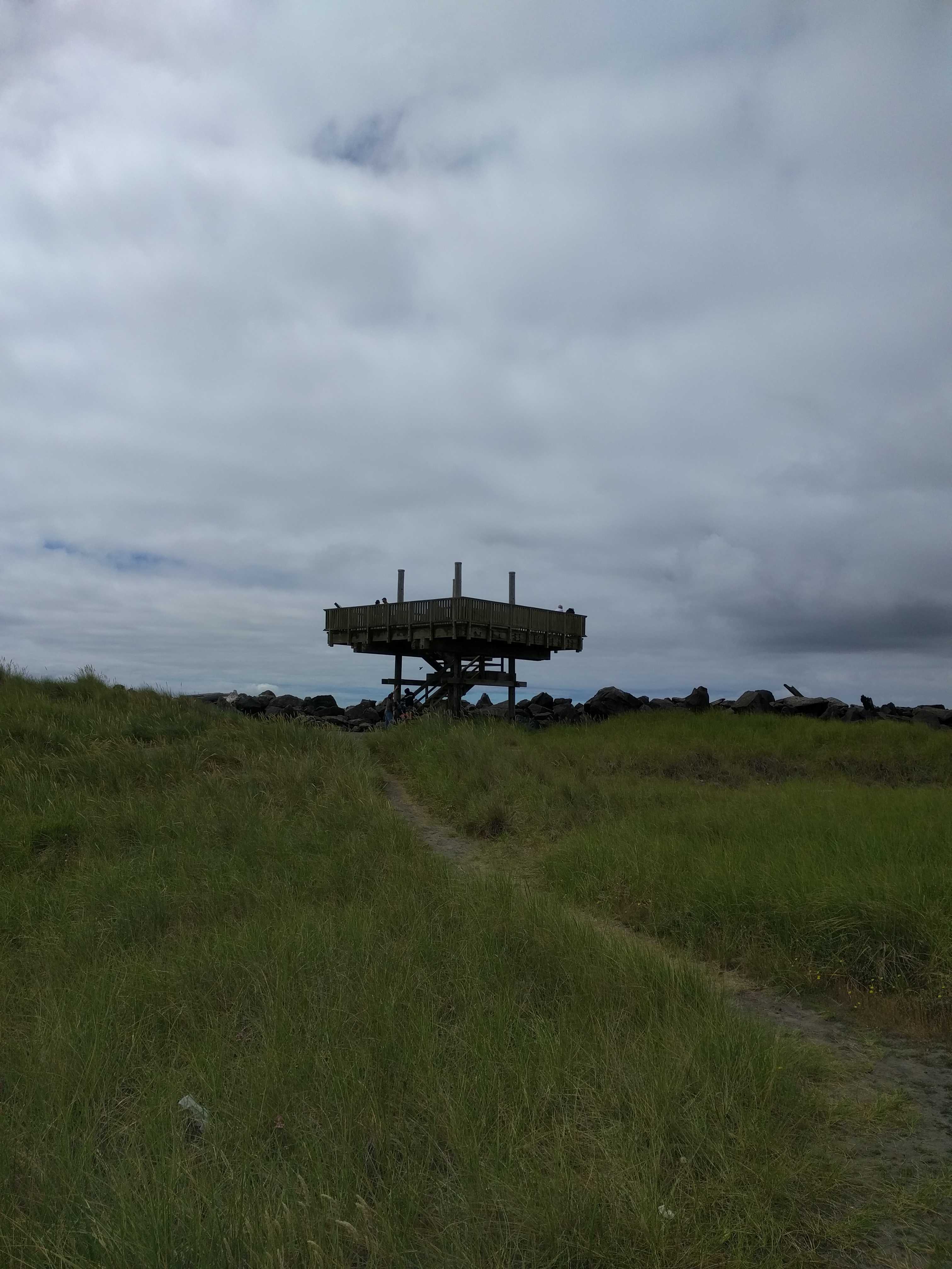
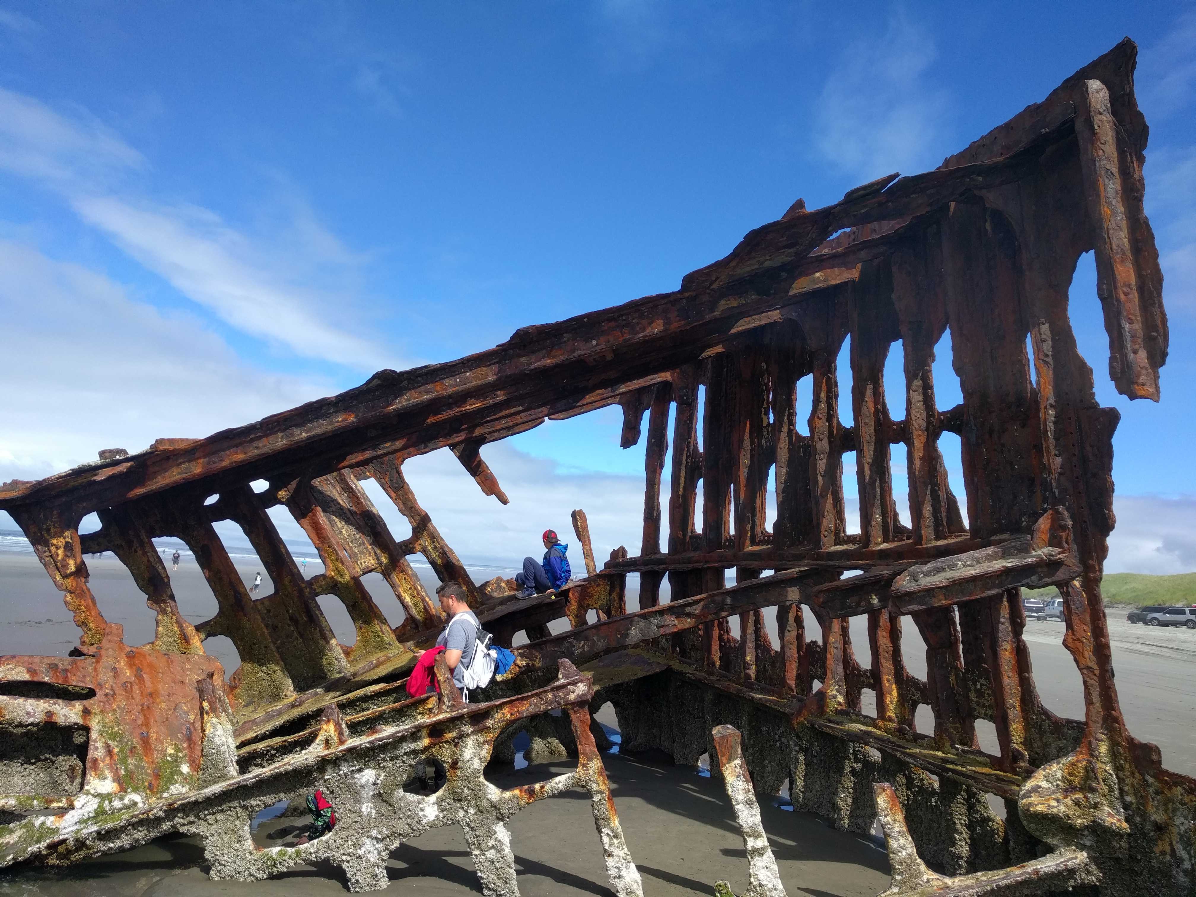
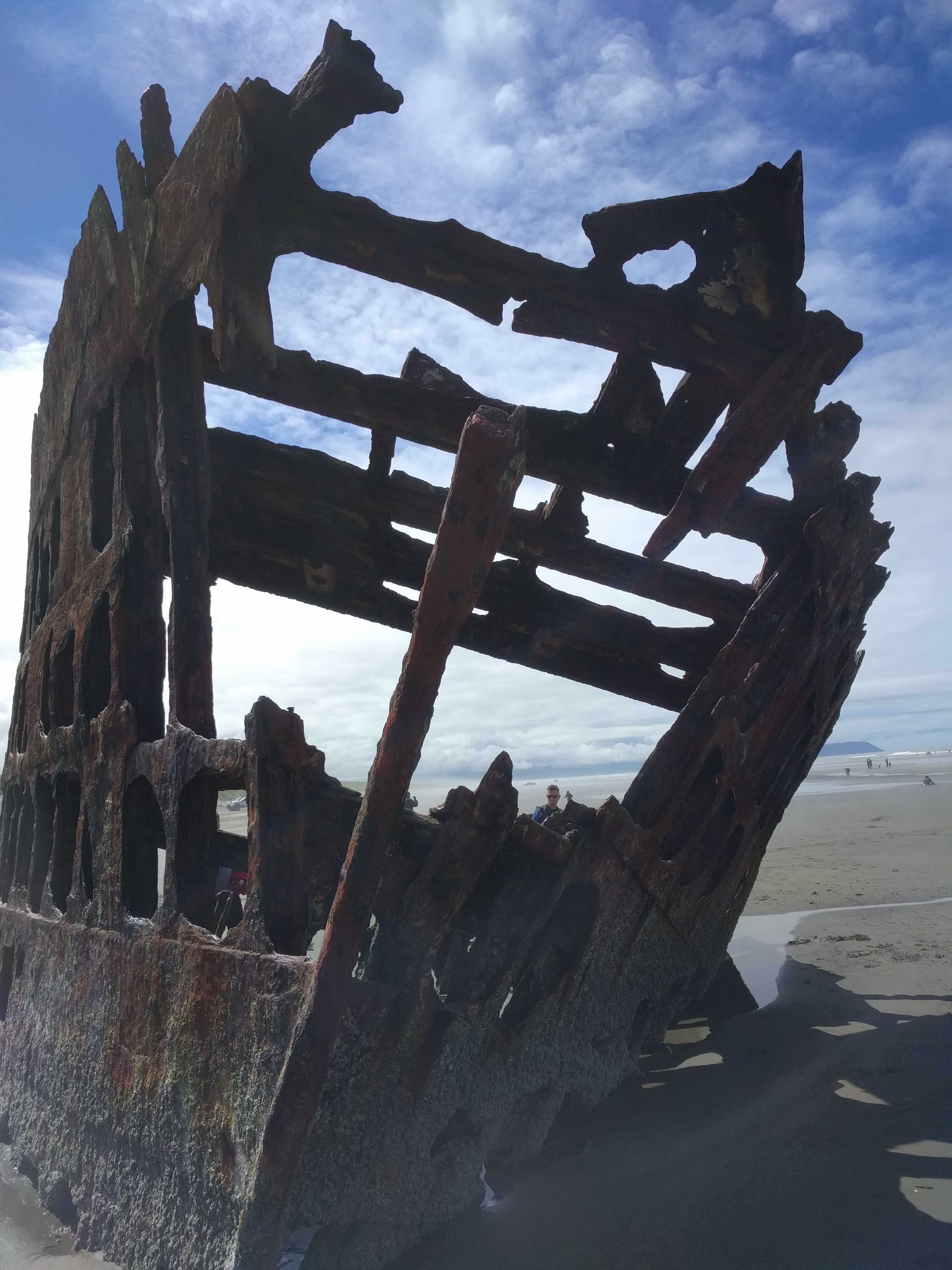
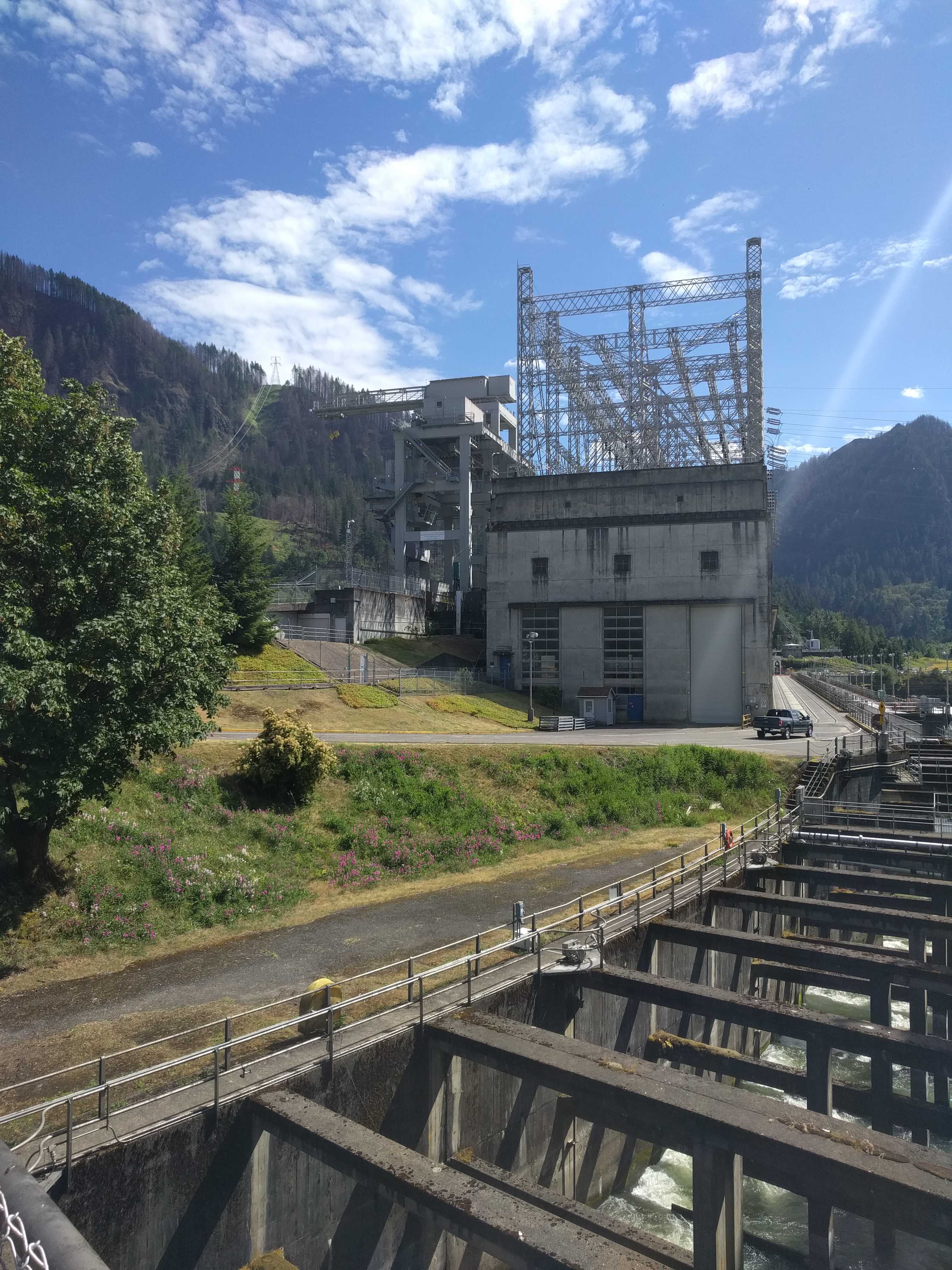
Turns out that the park was bought from the military after it was decommissioned due to not needing 16″ guns to guard the entrance to the Puget Sound anymore.    
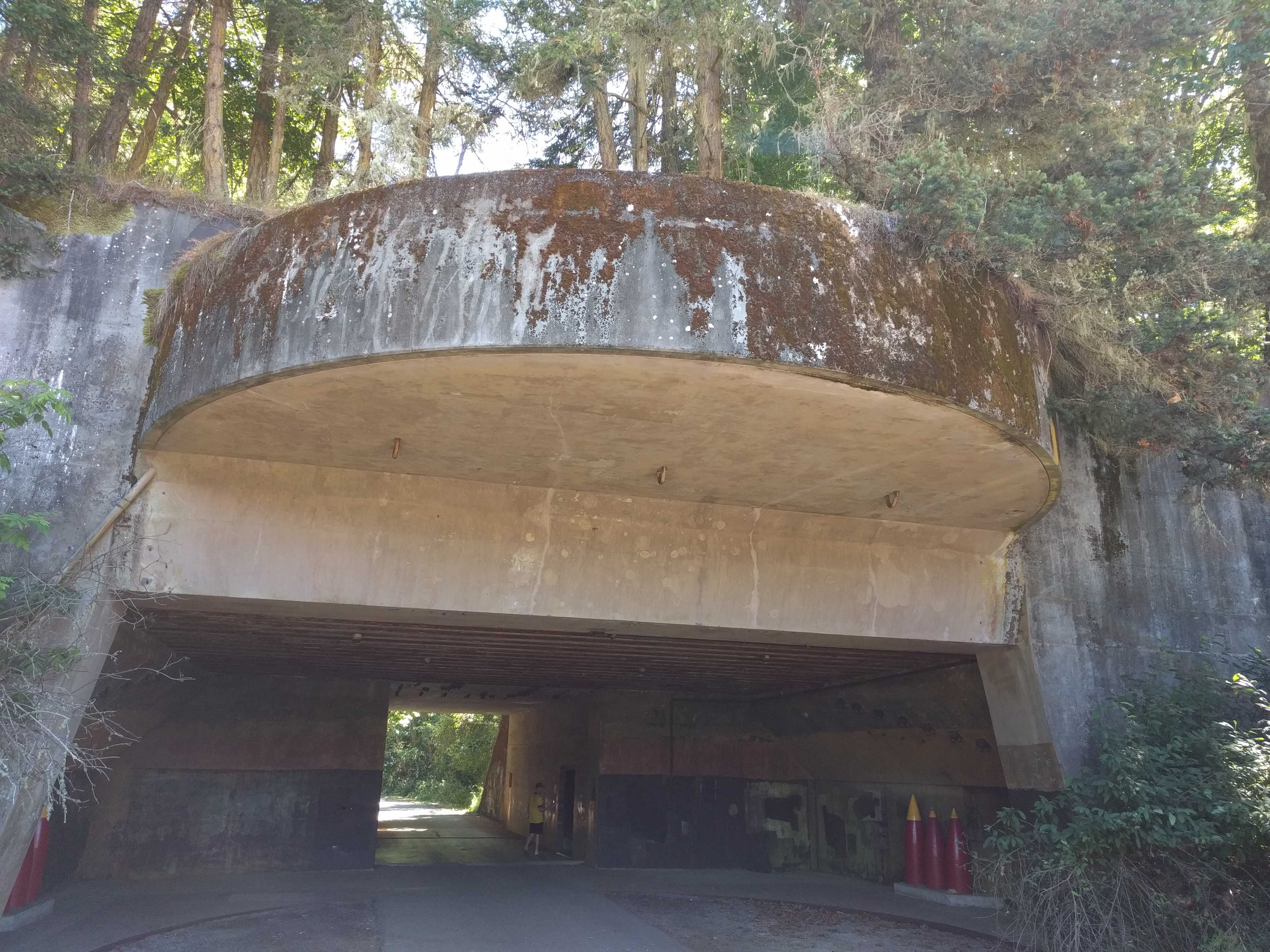
They removed the guns but left the bunkers.   They reminded me of the gun emplacements I saw in 
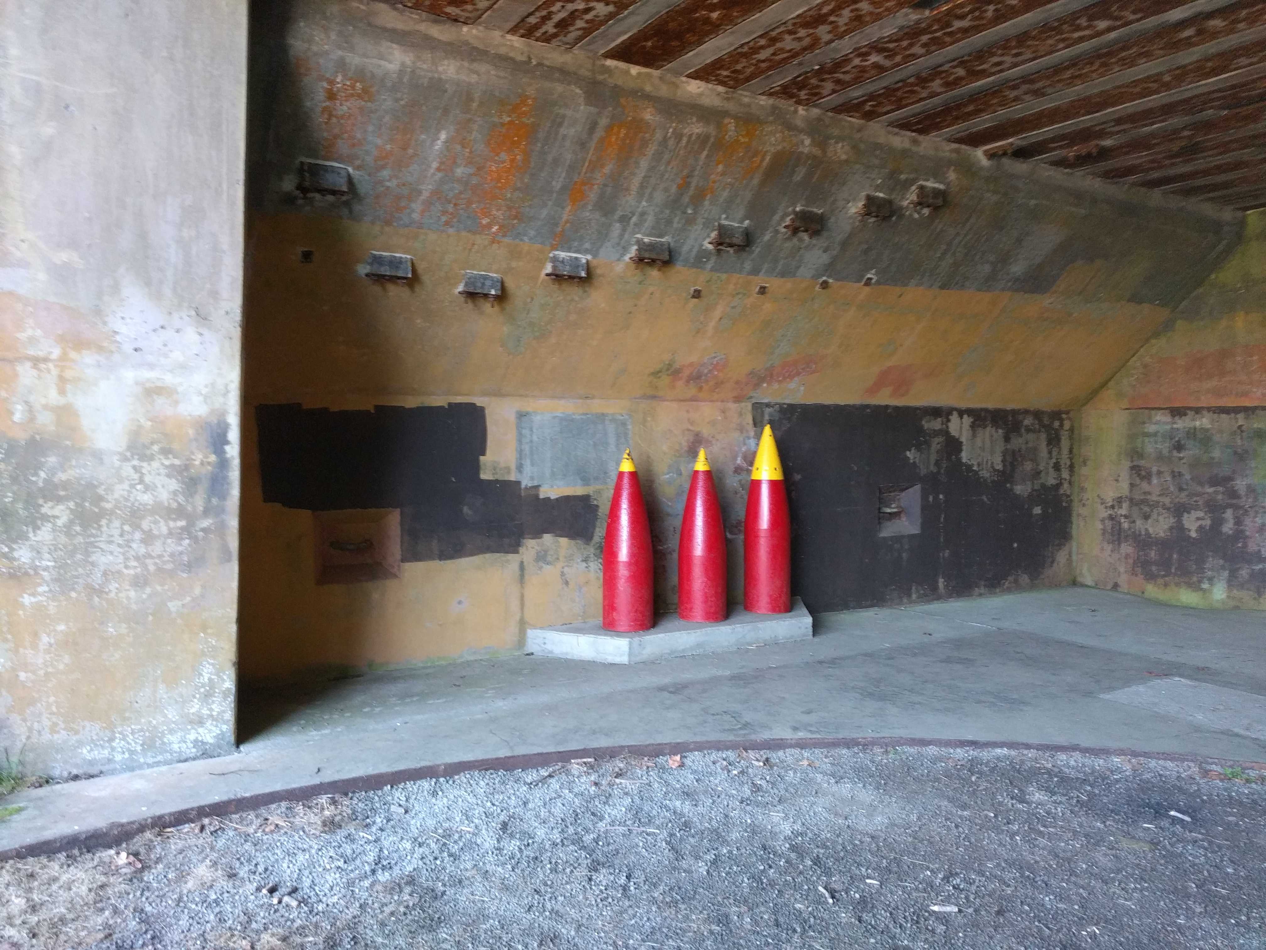
Normandy many years ago.    After driving thru both bunkers, we headed over to check out the campground in the park.  It 
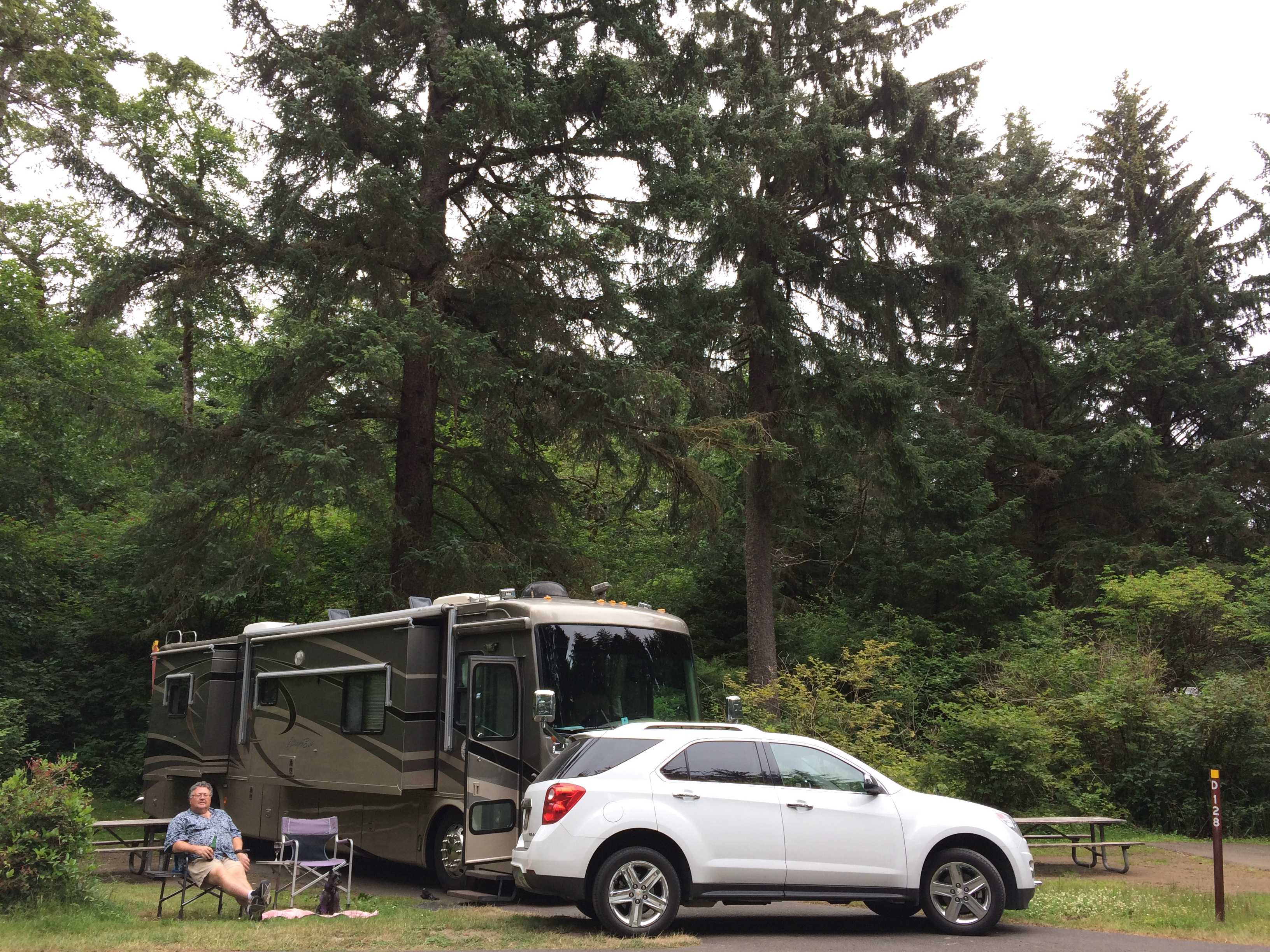
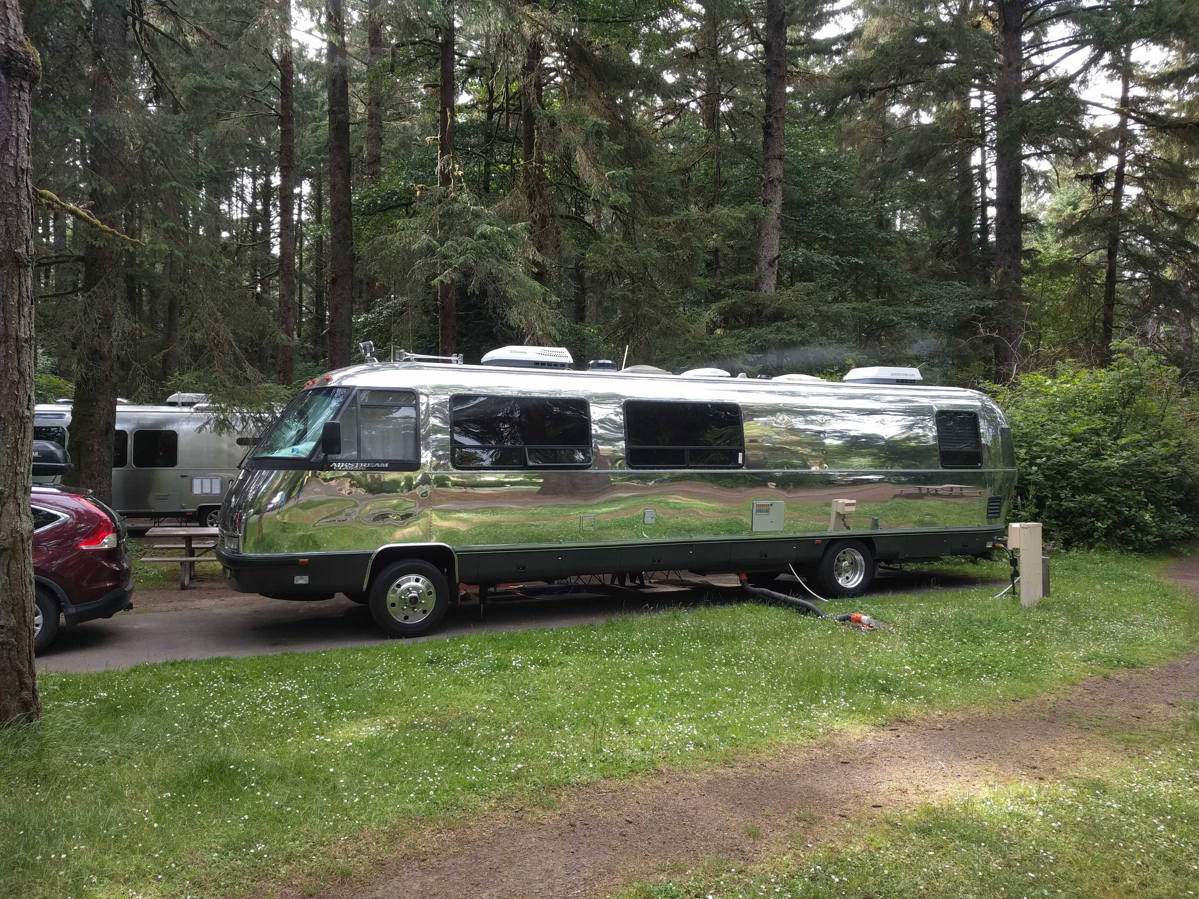
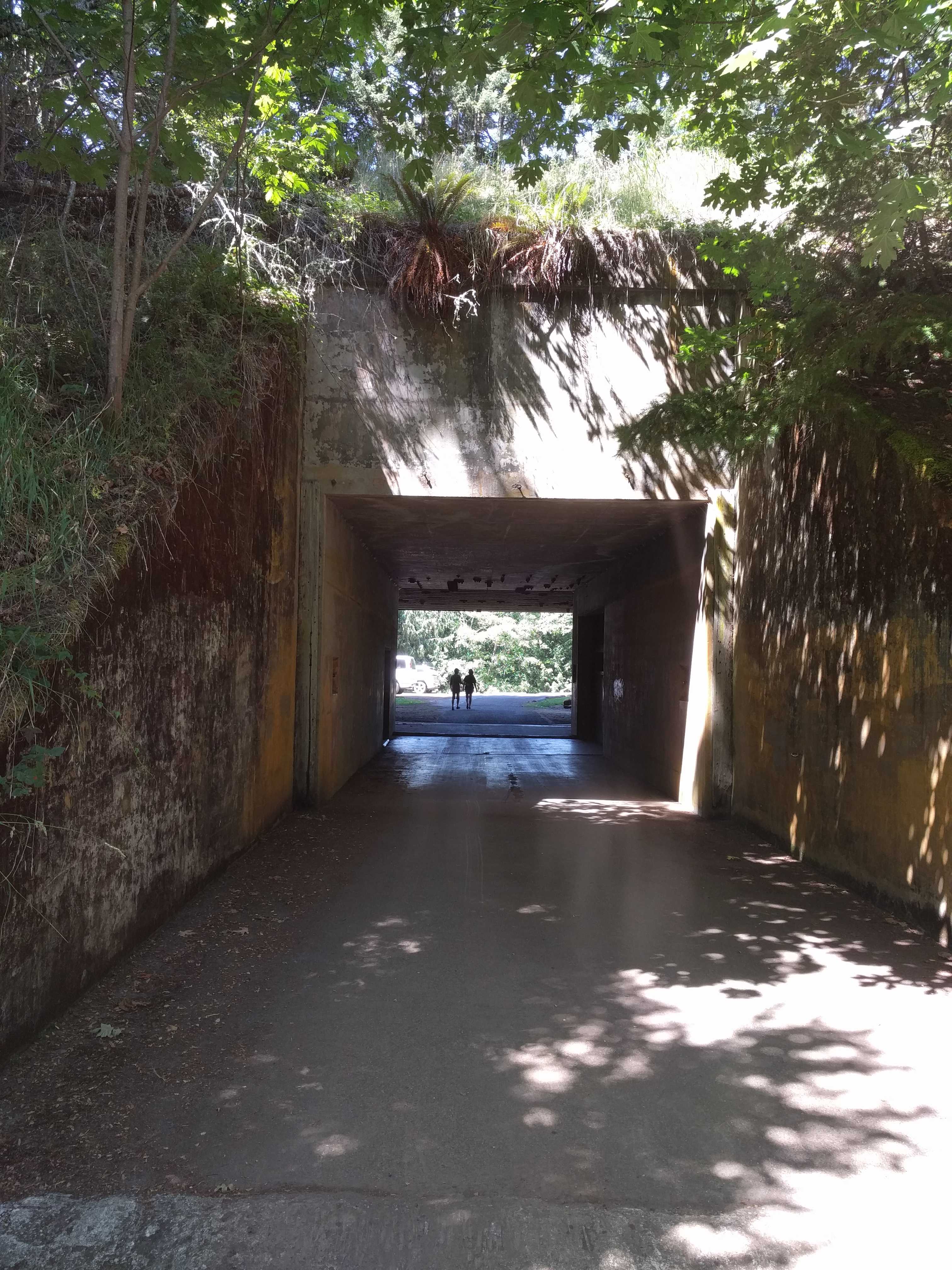
was quite nice, but was raised up from the beach below at least 50 – 60 feet, and the edge of the campground was eroding away with just orange barrels and netting to keep you from falling down it.

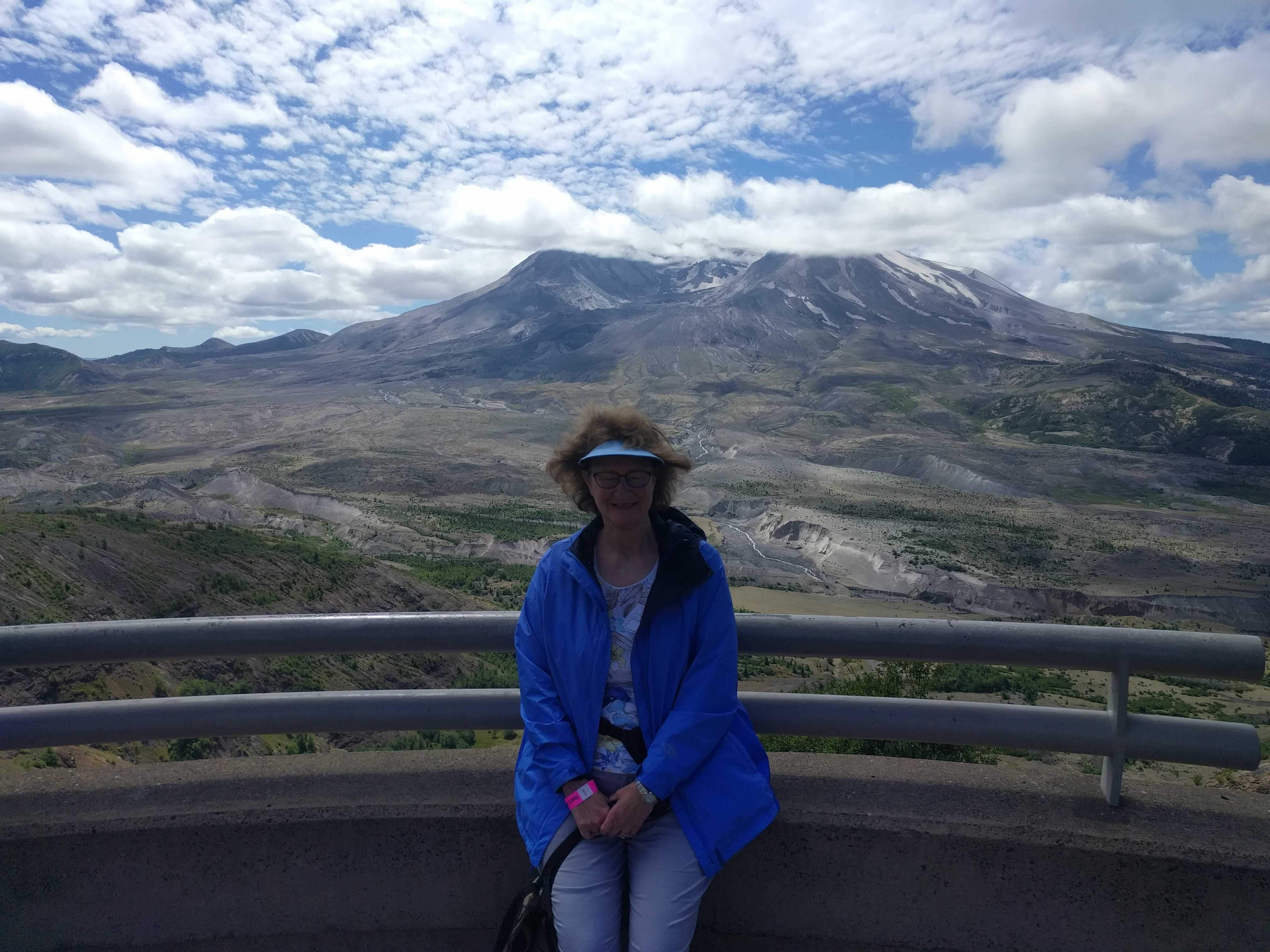
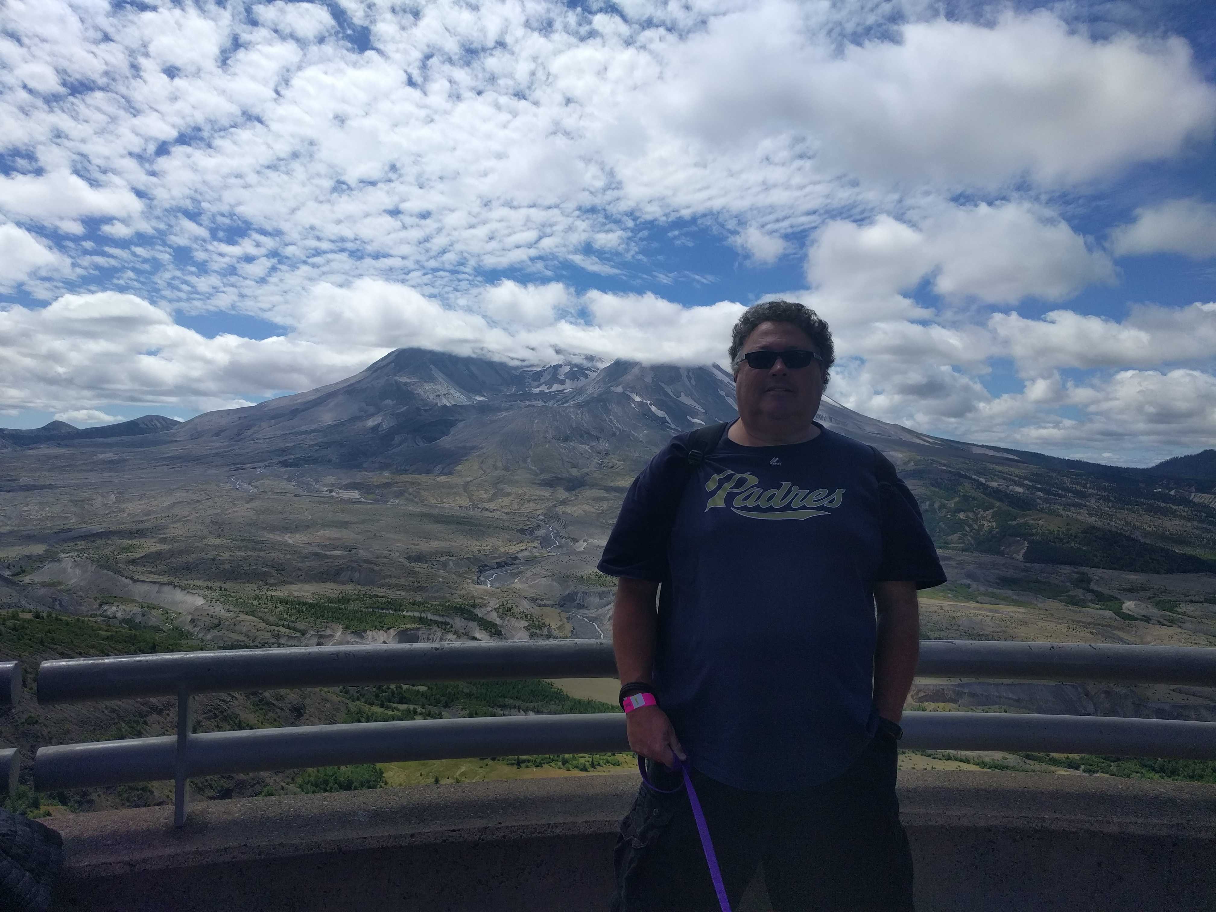
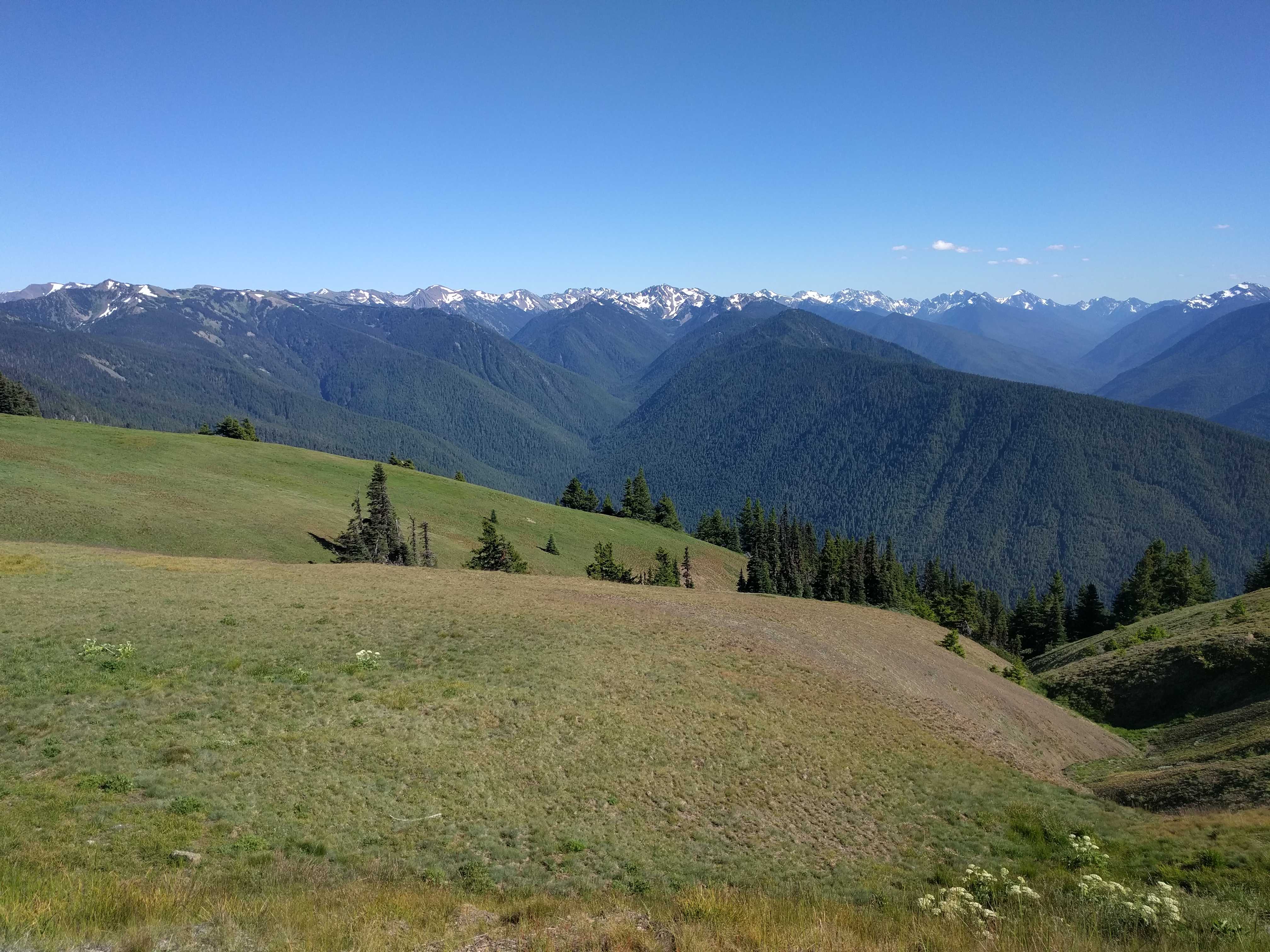
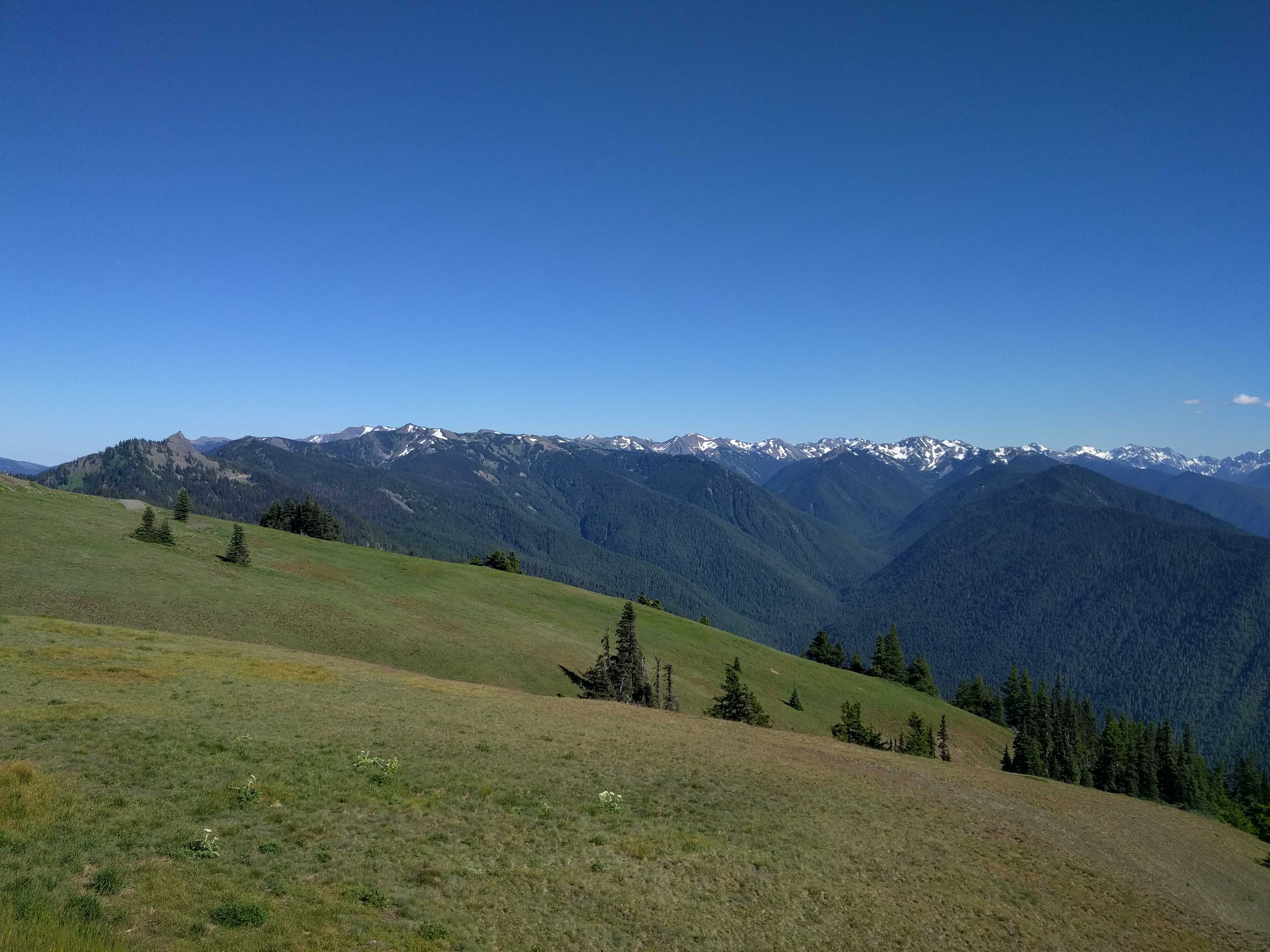
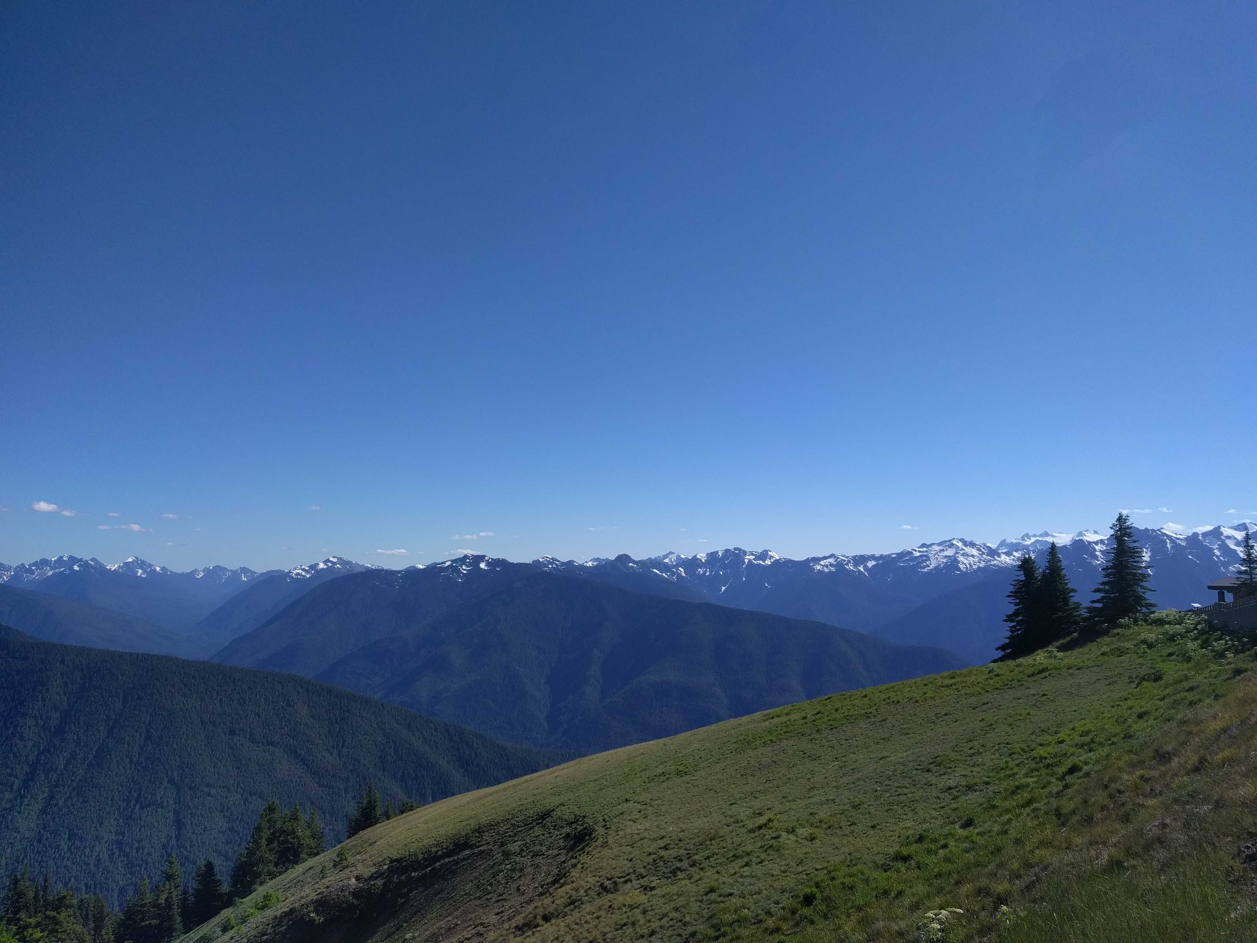
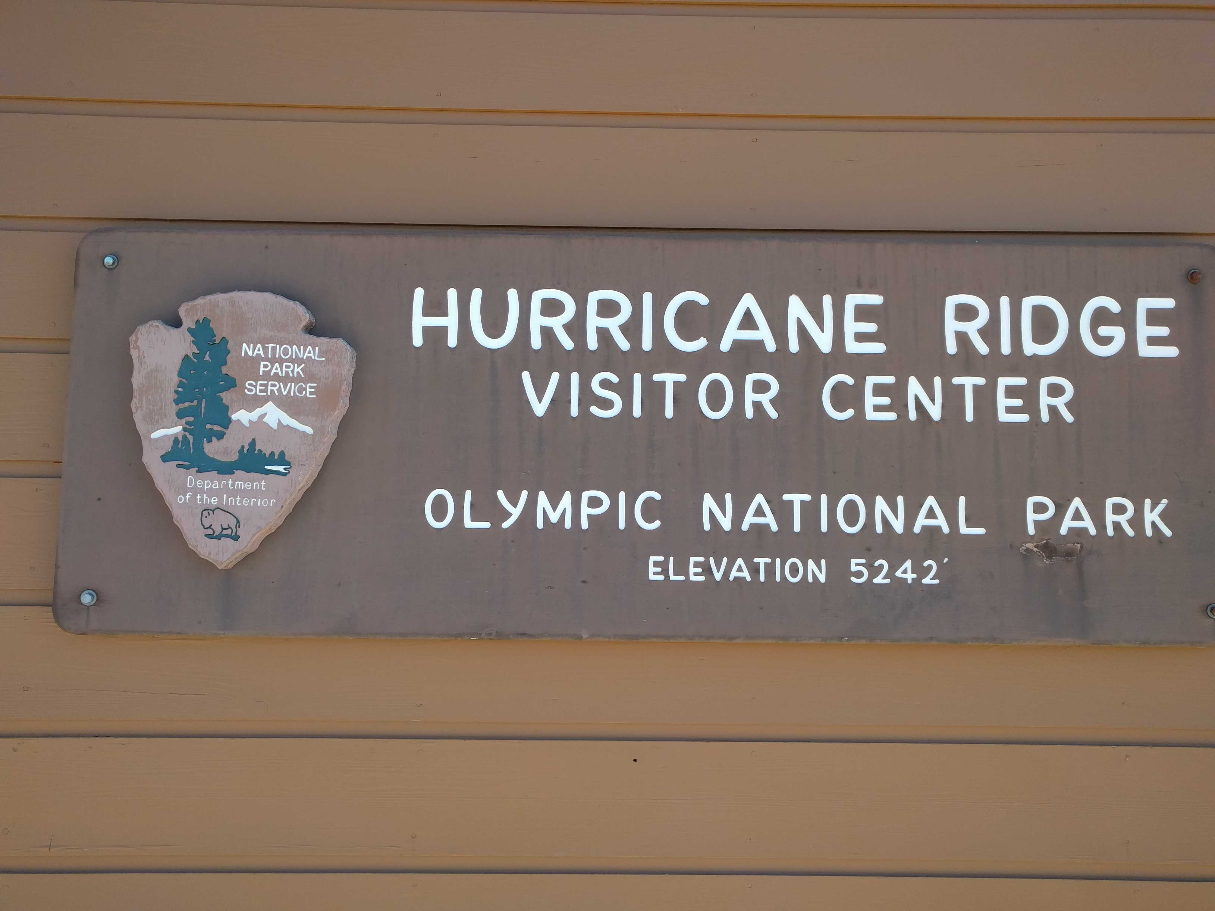
While there, I programmed Hurricane Ridge into the GPS and we started out to find it while heading back toward our home base for the week here.    There was a lot of red on the map, and we figured out quickly what it was when we arrived at the beginning of the road that goes to the top:   road construction and lots of it, probably 10 miles of the 19 miles to the top.   That was a long, slow trip up the mountain, but worth the wait as at the top it felt like you should be singing Edelweiss in the Sound of Music.   The scenery was spectacular!   This could have been the place they filmed the mountaintop scene.  Huge meadows and stunning views in all directions from a short hike to the overlook at the top.

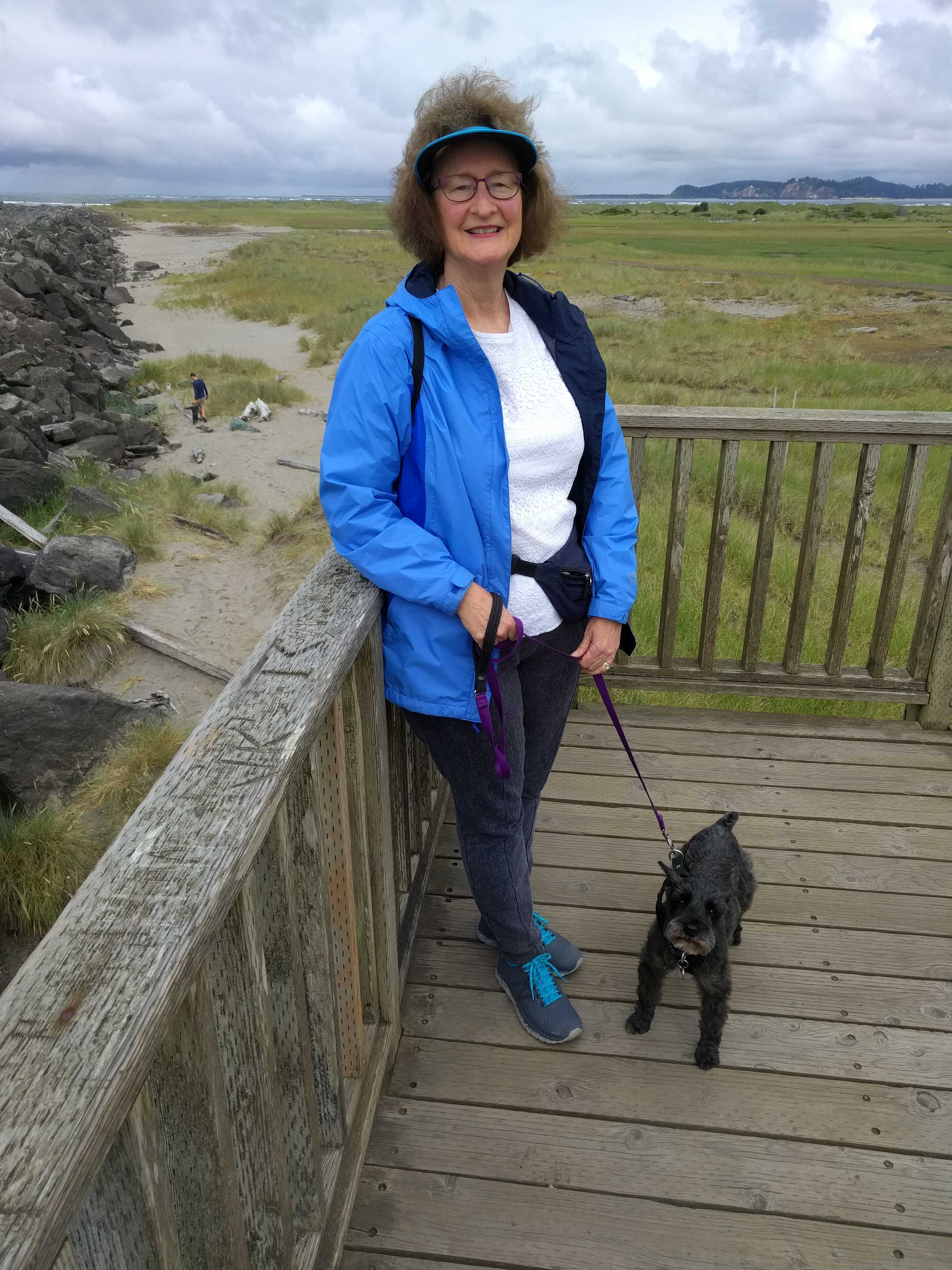
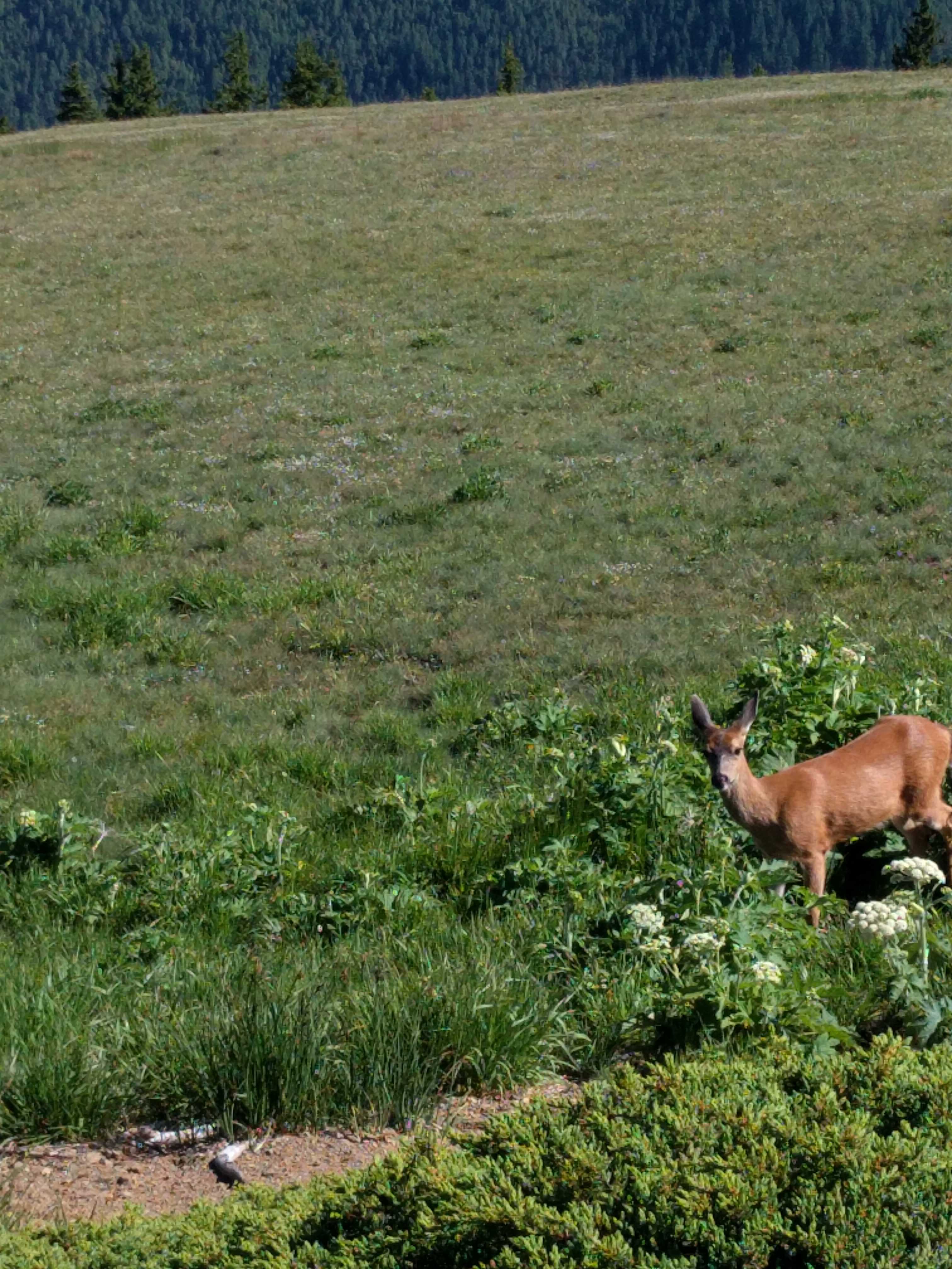
Lots of deer up there too.   Dusty would have been in heaven if we would just let him run free!   They didn’t appear to notice the visitors and would walk right past you as if you didn’t exist.   We 
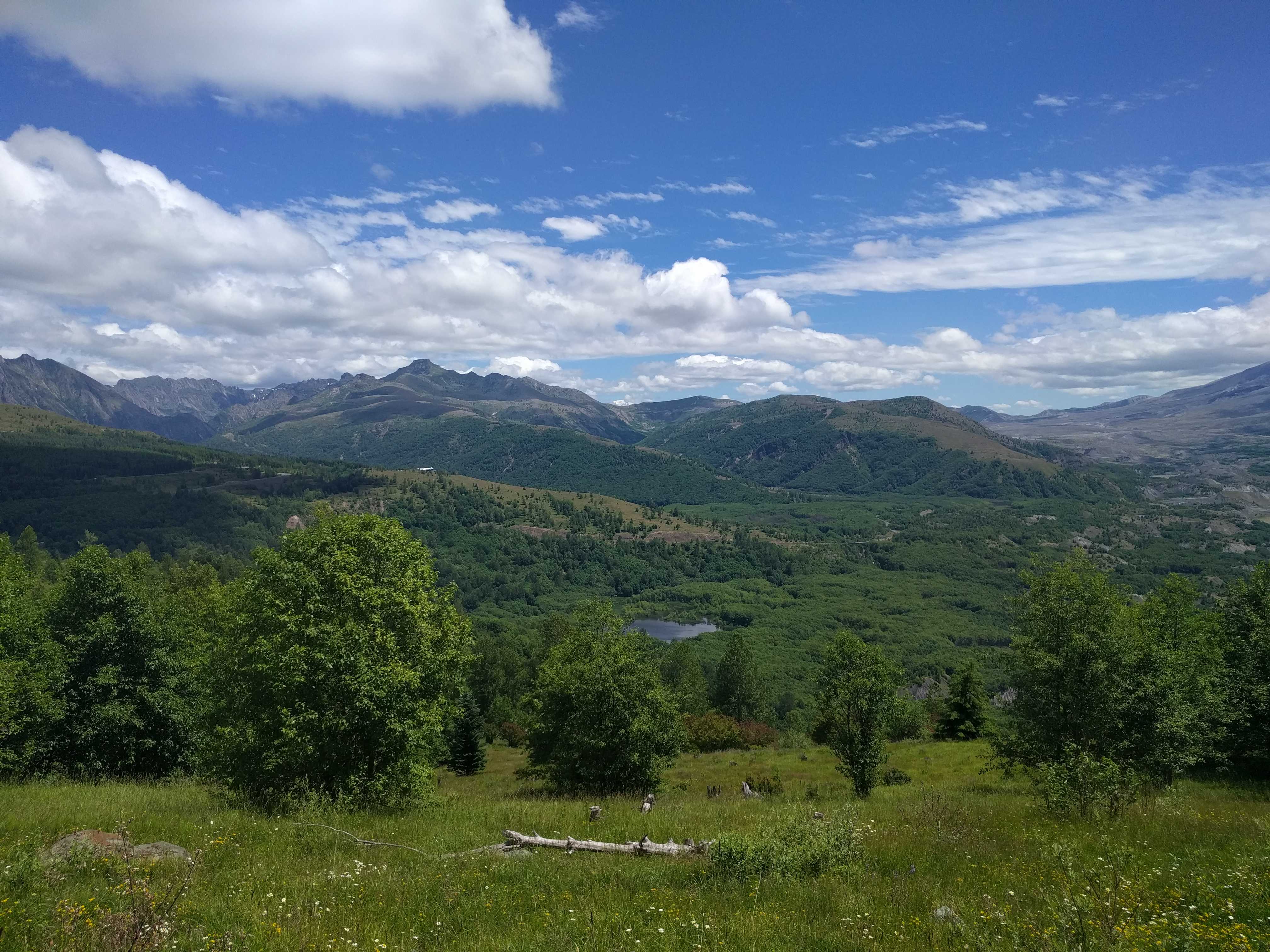
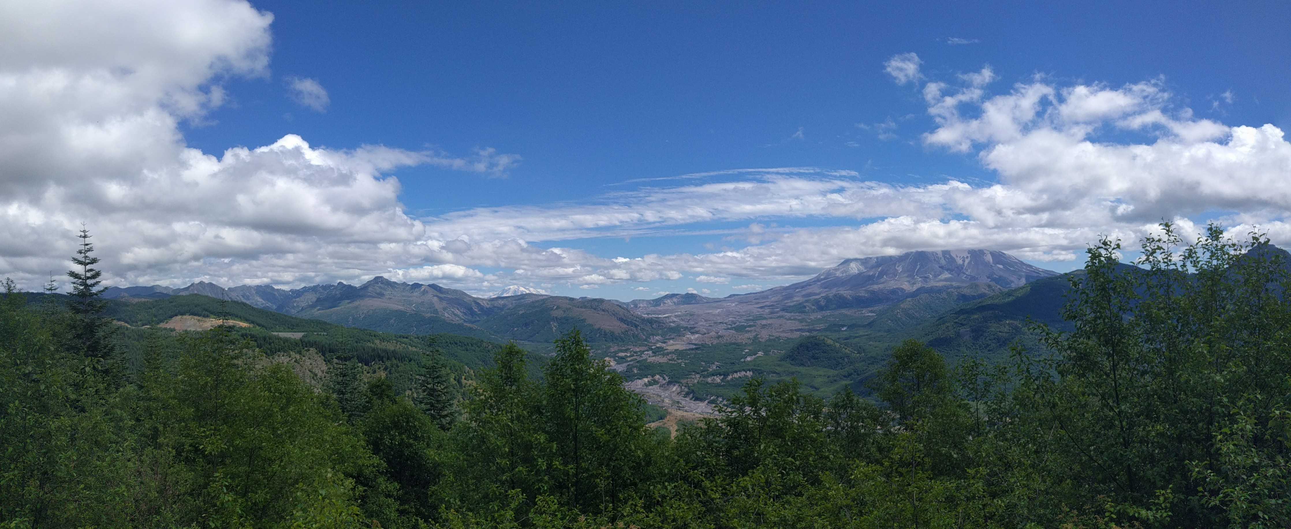
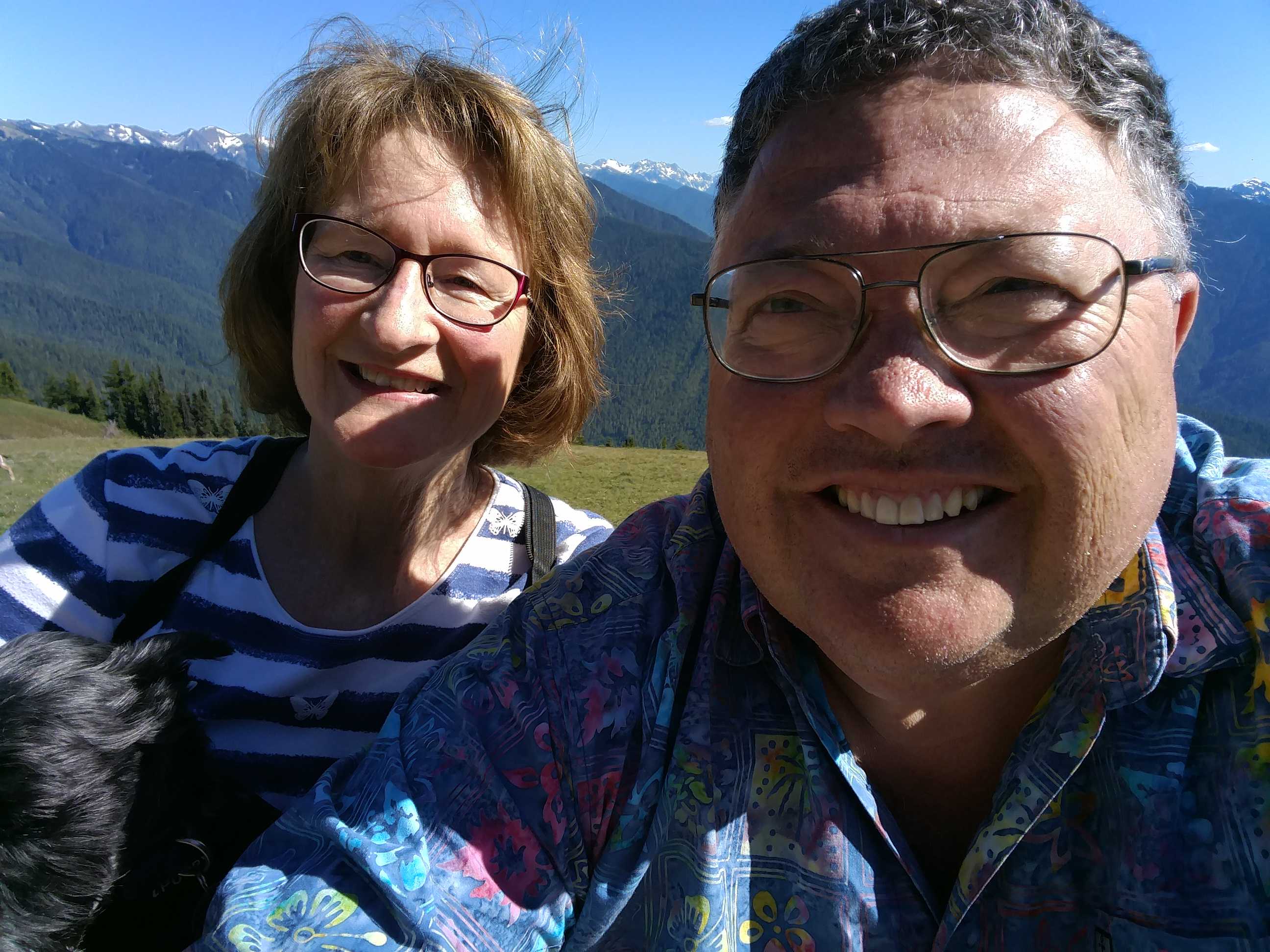
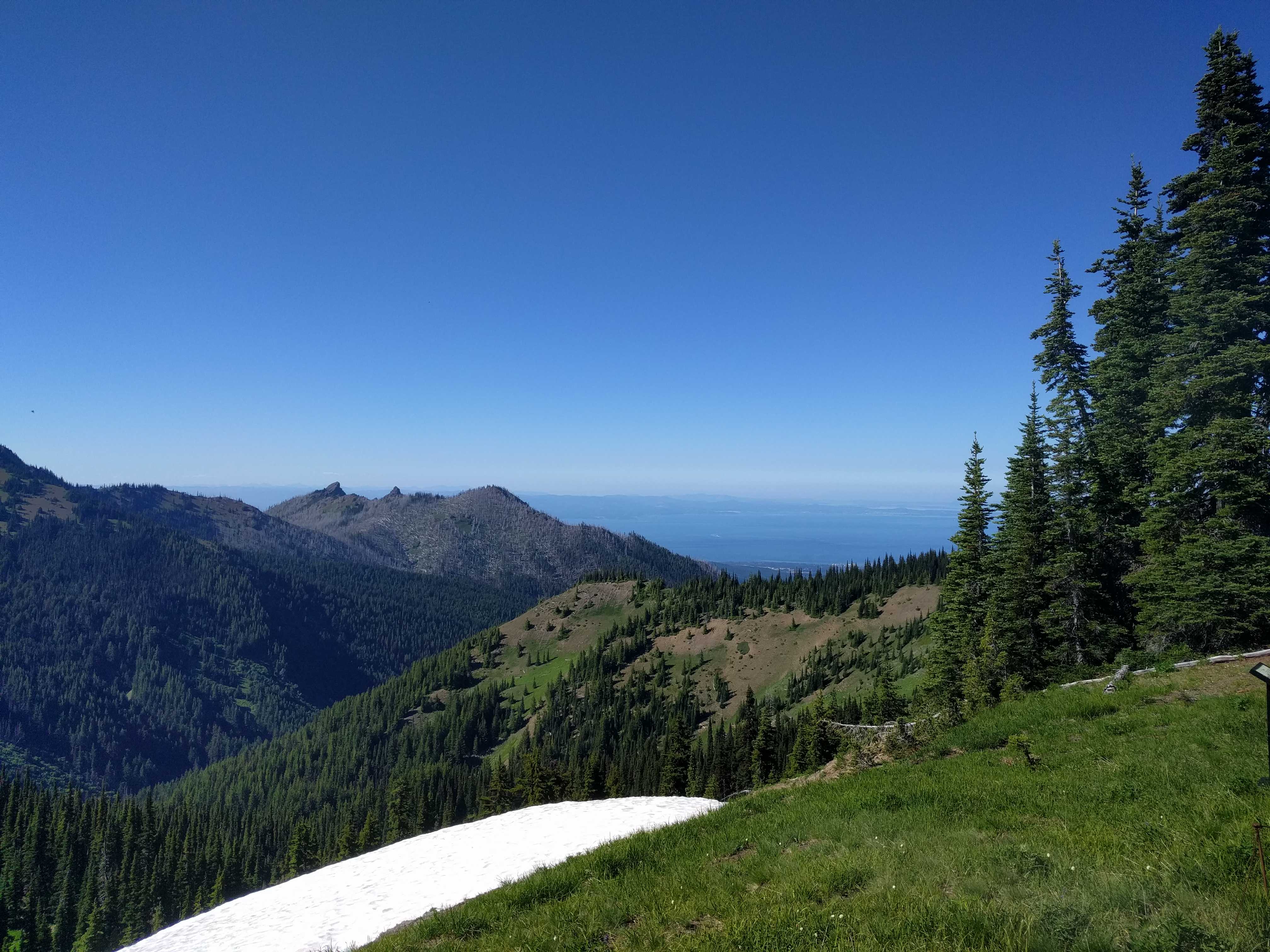
snapped a lot of pictures up there!   It was just such a stunning vista with all the mountaintops ringing the area; and if you glanced north, the view of the strait and Vancouver Island in Canada was right there too.

To think I really wanted to go to the rain forest, but the drive there and back was over 6 hours.   Way too much time in a car.

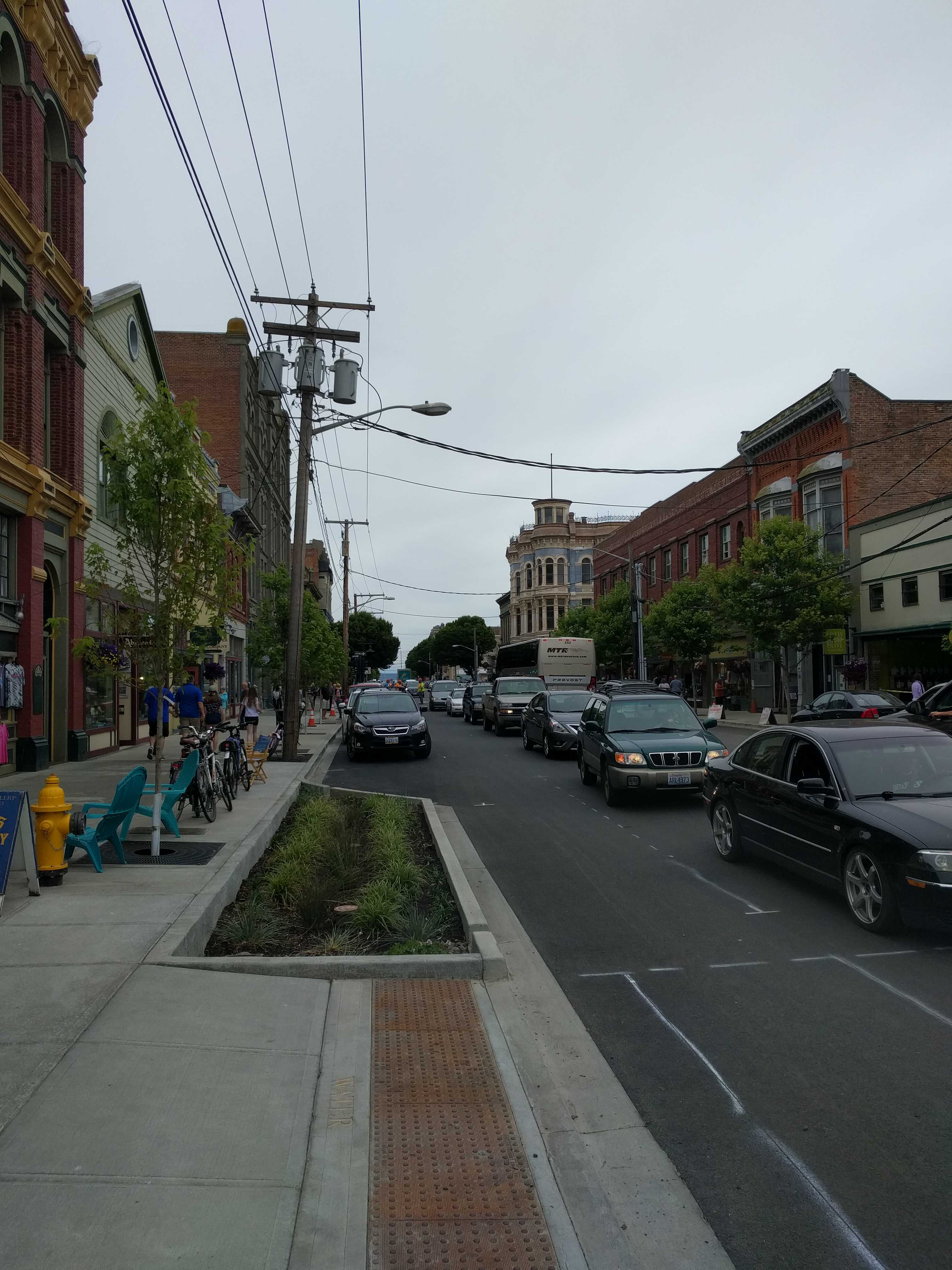
We stayed up at the top so long that the road crew was all packed up on the way down, so we made it down in record time.    On the way home, we decided to find another Mexican restaurant and we found one in Sequim with a large patio and pretty good food for being so far from Mexico.

It was probably a 30-minute drive back home from Sequim.  When we got back, a neighbor came over while I was still gathering stuff from inside the car and said he needed to apologize to me.   I asked what for.  Turns out earlier in the morning I had asked why he had a small plastic step outside his coach where his automatic steps should be.   He mentioned they had stopped working recently.   I had asked if he had checked the magnetic sensors that are there right inside the door, and he said he had.    Turns out he hadn’t and it got him thinking.   Later he looked at them and they were not mounted back correctly after having someone install new carpet in his coach.    I can now see he has moved that plastic step aside and the steps are deployed!

On Saturday I got a text from Verizon that I had used $50 of International Roaming already.   I had to call them and it turns out while we were at Tongue Point my hotspot latched on to a Canadian cell tower.    I told them I wasn’t in Canada and asked them if they could turn off International Roaming.   They did and credited the $50 charges too.   Turns out its $2 per megabyte for international roaming data.  Ouch!


Ferrying over to Seattle

I really wanted to take Kathy to Friday Harbor for her birthday, but the timing from Port Townsend just didn’t work,  either a long waiting time or not enough time to make it onto the next ferry; so we opted for a trip to Seattle.    The ferry system takes a bit to get used to.   Only some of the routes you need to make reservations, but those are not tickets, just $10 each reservation.  It’s unclear if that money is applied to your ticket or not.   It may just be charged if you are a no-show, but that wasn’t clear either.    Also, to get to Friday Harbor, you have to take two ferries, and the second ferry is over an hour drive from the first ferry landing.   It’s an all-day thing, and the best route I could find wouldn’t have gotten us back to the coach till after 10 pm after leaving around 8 am.  Sounded too much like work to Kathy.   I had to agree.   Although it’s only just getting dark at 10 pm.

So we opted to drive in to Seattle,  just one ferry ride, no reservations needed.    It’s about an hour drive to the ferry on Bainbridge Island and then it was about a half hour’s wait to get on.   While waiting I walked over to the water and snapped a picture of a couple spare ferry’s parted just south of us.

It always amazes me how many cars and trucks can get on one of these “real” ferries.   It reminded me of that Monday night Larkspur ferry, except this time it was zillions of cars and trucks streaming out for a long time.   There were lots of pedestrians too, but they were up on an overhead walk so you had to look for them.   They vehicles were right in your face.

Finally, the first row got the signal.   We were in the fourth row, but it was just a few minutes and we were heading onto the ramp down to the ship.    Turns out Kathy made a video while I was driving on.   There was so much glare, I had difficulty seeing the guys directing me till my windshield went into a shadow, and then they were pointing me in two directions.   I chose to the right.

We parked and walked up two flights to the sun deck where it was a gorgeous sunny morning with a cool breeze.   I headed up toward the bow to snap some pics.   We could see Seattle way off in the distance.   As soon as the ship got out near the Sound, it got really windy,  making it difficult to keep the camera steady.   It took about a half hour to cross the Sound and land right downtown.   The crew has this down to a science.  The chime went off, then the speakers announced it was time to get back to our cars.   We weren’t in the car more than  2 minutes before I had to start it and move off the ferry.    A very efficient operation.

We headed out to find the Pike Marketplace.  I had been there once before on a business trip back in 1998 or so.  It was a Wednesday afternoon and the place was packed.  Even the streets around it were packed with people that seemed oblivious that there were cars driving around them.    Somehow as we turned onto the street right in front of the market, a car started backing out of a space.   My first assumption,  it was probably a handicap spot.  But it wasn’t, must have been our lucky day.   We pulled in about 15 minutes later as that’s how long it took the folks to back out with all the people walking around their car like they didn’t exist, and then them doing the same to me as I inched forward toward the spot.    It took so long I was thinking I wouldn’t get there in this lifetime.

We got out and walked over toward a small park at the north end.  By then it was just about lunchtime and the park was crowded with people.    Dusty found just the right tree and all was good with the world again.    We crossed back across the street and entered the market.  Must be a great place for pickpockets, as “really crowded” was a huge understatement.

They sell all sorts of junk in there.   Surprisingly there were even a few produce sellers in the mix of jewelry, soap, pictures, clothes shops, and artsy things.   We found a hole in the wall to each lunch as we were very hungry by the time we got toward the southern end of the market.

After lunch Kathy wanted to vamoose that place.   I think both of us were feeling claustrophobic by then.    That’s when Seattle started to suck.  The streets were really steep, traffic was horrible with cars and pedestrians, and it was only Wednesday afternoon!  We missed a ramp to get over to Lake Union where I figured it would be a bit calmer, but attempting to get around that block was tedious to say the least.  We couldn’t turn and all lanes went on the “unmarked” on-ramp to highway 99.   And then within a mile or so it ended on the left side of I-5 north with the next off-ramp a quarter mile up the road and on the other side.   Needless to say,  we couldn’t get over for close to a mile,  way past the off-ramp we needed.   We ended up getting off somewhere near the WU campus,  even drove right past their expensive football stadium.

The traffic here was almost as bad as downtown.  I’m starting to dislike Seattle… did I already say that?    Anyway, we finally got to Lake Union, and to my surprise, there wasn’t anywhere to park.   It was getting late and we didn’t want to find out what rush hour looked like; so I mapped a way back to the ferry, bypassing the freeway that we saw was completely stopped on the southbound side as we were going north a bit earlier.   We took an interesting drive on older mostly residential streets that eventually got us back downtown and very close to the ferry.

Unfortunately, Google took us to the ferry car loading ramp, but it  had just moved about a mile south from where Google thought it was; so we again had to reroute to the new location.    We finally made it into the lot and queued up just as a ferry was shoving off.    Great, another one-hour wait for the next ferry,  but at least we weren’t out in that traffic anymore!!

We finally got back around  5 pm and it felt like we were gone 18 hours.   After that day,  Kathy said she no longer thought it was a good idea to take the motorhome on the ferry across to Seattle  on our way east.


A visit to Port Townsend

Nice small town where the Strait of Juan de Fuca and the Puget Sound meet.  We drove the 12 or so miles from our campsite to the tip of the peninsula driving thru Fort Worden so we could check out the Pt. Wilson Lighthouse.   It wasn’t open to the public, but we were able to walk right up to it and around the property to snap some pics.

It looked like it was in a lot better shape in the pictures that Google brings up when searching, so they must be fairly old now.    It’s located on a pretty spot on the point that separates the Strait of Juan de Fuca from the Puget Sound.

While we walked around, a fairly large ship rounded the corner and, in what seemed like just a minute or two, was barely visible in the distance down the Sound.   After we had taken too many pictures, we headed back toward the town.

While traversing this large hill between the fort and the town, we came upon a beautiful home overlooking the Sound with a really whimsical low brick wall snaking its way between the trees and the road.   We had to turn around and go back to look at it.   The home itself was a slightly modern take on a craftsman home with the great woodwork and amazing leaded windows, but that fence was like nothing I had ever seen.    I thought I could live there with the great view and high up off the water.   It was for sale; but when we looked it up on Zillow, they are asking 2.5 million…   Not sure our house in SD would qualify as the 20% down for it, so we moved on.

A few minutes later we were in downtown Port Townsend.   We found a place to park across from a waterfront park where we decided to have our picnic lunch.   No picnic benches were to be found, so we ended up sitting on a bench that was on a pier over the water.  Not bad but a table would have been a bit nicer.   We watched all the boats go by and also the large vehicle ferry coming back from Whidbey Island then a little bit later head back.

After lunch we headed down the main street to look at all the Victorian era architecture with Kathy looking inside all the buildings for their wares.   The buildings where great, and some of the old advertising was just visible enough on the side walls to tell what was being sold back in the day.   I also found the fireman’s bell tower while walking down one of the side streets.

We stumbled across a Victoria Era Steampunk shop.   That was a trip to see all the cool stuff.      They even had a lot of wooden ships’ mastheads that I couldn’t tell if they were old or just recreations.  They were great though.

We sauntered over to the ferry landing to pick up a schedule and check out the workings for our next journey to Seattle via a different ferry on Bainbridge Island.    But that’s for another post.

We left the ferry landing and walked up the other side of the street in the direction of the car.   Lots of pubs and shops along the way.   We did find another waterfront park with picnic tables, but the park at the north end of the town was much nicer and much more wide open, not just a vacant lot between two buildings like this one.

As we got closer to the car, we found an ice cream shop, and while Kathy was inside getting our order, I snapped this picture of a building I wouldn’t want to be in when the big quake hits here in the not to distant future.   It’s still hard for me to imagine they only found the Cascadia Fault in the late 90’s and are just barely telling folks about the overdue 9.0 quake on the Oregon and Washington coastal areas.    They have put up a lot of Tsunami Evacuation Route signs here in Washington.   On the coast of Oregon, there were lots of entering and leaving Tsunami zones, but the Evac route signs were few and far between.    The powers that be probably think it would hurt tourism and/or population centers for folks to start seriously thinking about that.

The sun went behind the clouds as we were heading north, and I wished I had brought my windbreaker with me.   Sort of got a bit chilly on this July afternoon.   We found the car and drove back to the campground to plan a trip for tomorrow.

Mount St. Helens

We took off around 10 am on Saturday morning to find the Johnston Observatory at Mount Saint Helens.   It was about an hour ride on some of the smoothest roads we have encountered while driving around this country.   Incredible views along the way with bright blue skies and few clouds hanging around.

On the way there, as we came around a corner, my vision got blurry looking at the trees.  I immediately started wondering what was wrong, some sort of eye problem or maybe a stroke?   I was figuring out all the scenarios of what was happening to me when Kathy exclaimed that all the trees were giving her double vision.    Holy Cow,  it was the trees!!  The forest service had planted thousands of Nobel Firs to reforest the land, and seeing them all in a row made them look blurry.   It was uncanny.   I had never seen anything like it before.   You can almost see it in the pictures I took, but when driving thru there it’s very surreal.

We passed by quite a few view points along the way up.    But I think the best view as at the observatory.   The guy that was at that spot the morning it blew didn’t have a chance in hell, it looked like the mountain had aimed at that spot when the side blew out.    I had read the book about the area a few years back and the guy from the USGS that was there the morning it blew was only there filling in for the normal volcanologist that had to fly to California for some reason I cannot remember.

Heading over the huge bridge to Long Beach “Island”

We set out on Thursday morning for points north of Astoria, basically on the other side of the Columbia via that huge bridge on the edge of town.   It’s an odd setup, the bottom of the bridge is probably 300′ above the roadway below it.  The approach to the bridge is this big steep circular loop, like nothing I have experienced before.  The funny part, as we were climbing this circular roadway that reminds me of the mousetrap game when I was a kid, there was a 55 MPH sign.   It was so steep and curved, 55 seemed ludicrous!   We finally made it to the entrance of the bridge and went up and over this mighty structure, then steeply down the other side to a 4-mile-long causeway maybe 10′ above the water the rest of the way till you got near the other shore where there was another 3-truss bridge section, but that one was only 50′ or so above the water line.

We then headed up the 101 toward Long Beach and parts north.   I had expected lots of views along the way, but that proved to be incorrect as it was like driving thru a heavily wooded forest all the way to the northern tip.   Once there we realized we needed a Washington State Discover Pass and we didn’t own one nor did we know how to obtain one.   So instead of finding a place to eat a picnic lunch, we turned around and headed for the ocean hoping to find a spot.  We did find an ornate gate in a very secluded area on the way into the park and took a picture on the way out.   We also found another gate later, and I assume it may be the other side, based on where we were.

What we found was the oddest area I had ever seen near Oysterville.   Miles and miles of small bungalows with many undeveloped lots in between them housing trailers and motor homes on them with folks camping on them.    It’s like you buy property there to summer vacation in your RV; and then when you save enough money, you build a home on that same property.

We never found a place to pull over for a picnic and ended up in a small town named Ocean Park (sans any park)  and pulled into a parking lot to eat a late lunch.  Afterward we headed south to Long Beach.  All along the way we saw more of the bungalows and small lots with RV’s on them.  There is always something odd on our adventures.  We looked over and a guy was riding a bike and had his golf clubs on a hand cart hooked to the back of his bike.  Ingenuity at its best!

We arrived in Long Beach and found an ice cream shop, parked, went inside and found approximately 50 people in line for a cone.   We walked out and down a long road out toward the beach with the sign about the longest beach in the world.   It was a really long walk out to the end and a bit cool heading out there.  There were also a lot of port-a-cans lined up out there, probably still there from the 4th of July.  The sand goes way out and people drive their cars out there and park!

We found a sign listing all the shipwrecks off the beach and there were lots of them, about 200!!    We walked back toward the town thinking about that ice cream again; but when we got back, I decided to walk along the main tourist street.  Zillions of little shops, Fun Land, and restaurants on both sides of the street.    We did the whole stretch and back and hoped when we got back to the ice cream shop, the line would be shorter.    We got there, and the line was longer.   No ice cream for us today!

We proceeded to head further south to find the Cape Disappointment Lighthouse.   We found the parking area, and again there were all the signs about not parking there without your pass displayed; so we headed out to find the other lighthouse that’s not far from it.   We found that one and there was a kiosk to buy the pass there.   But of course the kiosk was broken.    We decided to park there anyway, and a bunch of the other folks there said they didn’t have a pass either, so we winged it and walked out the trail to find the North Head Lighthouse.

It wasn’t very far, with a gorgeous view along the way there.   We took a few pics and headed back to the car as it was getting late in the day.   We drove out of the park and found the 101 to head back over the huge bridge and to the RV park.    Along the way I noticed a Mexican restaurant very close to the campground.    When we got back, I suggested Mexican for dinner.    That was a hit and I drove back for take-out.

A long day that ended with a pretty decent Mexican dinner!


Cannon Beach

After exploring Fort Stevens, we mapped a way to Cannon Beach via Seaside, two very touristy towns.   I wanted to check out Haystack Rock and some of the beaches and hopefully have lunch somewhere on the water.    It was very cloudy when we started out; but as soon as we arrived in Cannon Beach, the sun came out and it was warm with a small breeze,  practically perfect weather once we got there.

Once you get a bit south of the town center (chock full of tourist shops) it gets a lot nicer.   But there wasn’t anywhere on the water that would allow us to bring Dusty;  so after a short while, we headed back north to see if we could find the Mexican restaurant we had passed.   All the pet friendly places were right on the main drag of the town, within a few feet of traffic and all the car exhaust.   It’s Hwy 101, a busy road on a summer afternoon,  not what I would call a great place to have a meal; although you couldn’t tell that from the jam-packed patios, so we kept traveling.    It was bizarre that as we left Cannon Beach, the cloud cover socked us in again and it started to drizzle like they are in some sort of weather bubble.

We never found the Mexican place and decided to stop at a small place on the highway called Ruby’s Kathy had noticed on the way south earlier,  not part of the chain of the same name; and they had a dog on their signs, so how bad could it be…    It was a pretty cool little place where Dusty was welcomed inside.   Kathy had a large chef salad and I got the day’s special,  1/2 rack of short ribs.   They were very good.  They weren’t Phil’s ribs, but the next best thing to them!

We headed back to Fort Stevens after our late lunch.


Fort Stevens

Our drive to Fort Stevens was nice  and uneventful, which are the best drives.  We stopped for fuel in Astoria as the price of diesel was a very low $3.35.    In Oregon they pump the fuel for you, so I got to talking to the attendant and asked him about the cruise ships stopping here.   He told me they only come in the beginning of the summer and at the end of summer, making me think it’s only during a repositioning cruise for the beginning and ending of the Alaska season.

We arrived at Fort Stevens State Park around check-in time Saturday afternoon.    To my delight the signs were clear and led you directly to the registration parking.  (Pretty much a first)   We got checked in and headed further into the park to find Loop D,  Site 128.   As we drove toward the center of the park, you could see this place was well maintained and a gorgeous place to camp.

We found our site easily and backed into the fully paved spot for the RV.   There was 50amp and water, but no sewer hookup.  As we were only there for a couple of days, I wouldn’t have hooked the sewer up anyway, preferring to have it at least 2/3 full prior to dumping.   We deployed the coach and then took a walk around a couple of the loops near us.   There were a lot of Airstreams,  just arriving from the Salem rally was my guess.  There were even a few Airstream motorhomes.   I had to take a picture of one that was polished so highly it looked like it was made of chrome instead of aluminum.

I wonder if all the Oregon State parks are similar to this place?    If so, I really wonder what California spends all its tax dollars on?  It isn’t its state parks.    Oh, and Oregon has no sales tax, although every receipt has that line item with Tax 0.00 on it.   I wonder if they are planning to change that in the future or is it just there to remind you there is no tax…

While we staying in the park, we headed out to lands end where the Columbia River meets the Pacific Ocean in the park.  There was a fairly rickety platform held up by four logs and some lam beams that appeared to be “delaminating” out in this harsh weather.   This spit of land is just across from Cape Disappointment on the Washington side of the river.


After the river mouth, we drove out to the wreck of the Peter Irldale on one of the beaches near the river mouth.   I was surprised that you can drive on all the beaches here.    What was left of the wreak was just bits of its skeleton.   After seeing it I was shocked this thing had run aground in 1909, a hundred and nine years ago.   That steel left must have been really thick to last this long.

On Monday afternoon we headed the 9 miles to our next campground.  🙂

Shortest trip ever!!!


Exploring the Columbia River Gorge

Thursday morning I was able to make a couple reservations for this coming weekend and next week, which includes July 4th on Wednesday.   First for Saturday and Sunday nights we scored a spot at Fort Stevens State Park west of Astoria right on the Pacific Ocean and the Columbia River.   With that reservation in hand, I was able to get the place I originally wanted to stay, just south of Astoria for Monday thru Friday, the week of July 4th.

With that housekeeping done, we headed out to explore the gorge.   First we headed down the hill and then east on the Washington side of the river, soon we spotted the Bonneville Dam.   We drove to the entrance for the visitor center and were stopped at the gate so the guard could check out what was inside the car and trunk, presumably looking for a bomb or some other terrorist things most retired folks from California drive around with.

He let us pass as we had nothing of interest.    Unfortunately when we arrived we were not close time wise to their twice a day dam tours, so we decided to go look at the fish ladders.   I had never seen one of those before so I figured it would be interesting.   We walked thru a lot of chain link gates to get into that space, and it was fascinating to see the insides of the large concrete spillways.   I assumed it would just be steps from the top to the bottom, but it was much more than that, all sorts of chicanes and other concrete shapes to make the water turn back on itself like a small whirlpool.   Those must have caused a harrowing ride for the fish going both ways.

We also went downstairs in the fish viewing building to look thru the big glass windows into the ladders to watch the fish swim against the very strong current in the ladder.   They must be some very determined fish to get thru that contraption to get to the other side.


Afterward we drove back over the BOTG and into the small town of Cascade Locks.   We found a park along the river, and as it was probably close to 2pm, we located a picnic table and ate our packed lunch under a large Douglas Fir overlooking the river.   There was a small gem and minerals show going on in the park and all the vendors were showing lots of pretty cool looking sliced up and polished rocks.

Once we looked over all their wares, we got back in the car and headed east on the freeway toward The Dalles (Dalles rhymes with gals or pals)   We started noticing as we moved further east from Cascade Locks it grew noticeably more arid very quickly.   We got off the freeway in Hood River and found the Hood River Yacht Club and a cute little beach where lots of wind surfers were flying back and forth across the river at a very good clip.  Did I mention it is extremely windy along this river?   At least it was the three days we stayed around here, luckily not up at our campground which was about 500′ above the river.  Those very tall trees would make it truly uncomfortable to camp under them if the wind was blowing there like it was down in the bottom of the gorge.

We left the river to get on Old Highway 30 toward The Dalles.  It snakes its way up the foothills along the river,  lots of 20 MPH blind curves.   It would be a great ride on the motorcycle, but a veritable nightmare in our bus.   We arrived in The Dalles and it was just another town along the river to me.  I didn’t see anything of note while driving thru it.   There is another bridge across the river here, and for some reason this one is free.   On the way toward the bridge, Kathy wanted to snap a picture, so I pulled over and she got out.   She practically blew over the guardrail as some wind gusts I guessed of about 80 MPH tried to take her to Oz.    Did I mention it’s windy near the river?


Just up river from the bridge was another that was built in the 60’s called the John Day Dam.  You can see it in the pics.

We arrived on the other side of the river a few minutes later — this was a much wider bridge than the BOTG –and headed west toward our base camp.   Along the way we stopped at a rest area and overlook where again it was extremely windy on a small promontory on the river.    We could see more wind surfers further west on the river and got back on the highway to go find them.

We found a lot of them quite a few miles south of the Hood River Bridge at a national fish hatchery.   Those folks really move across the water being pulled along by kites or small parachutes.   I bet that is an incredible workout.   No need to hit the gym after doing that for an hour.

As we drove down that small side road along the river, we made our way into the fish hatchery just as it closed.    We headed back toward our camp to cook some dinner and kick back for the evening.


The next morning we got a late start and headed back toward the hatchery during its open hours.    When we got there, we saw at least triple the amount of wind surfers on the water than the prior late afternoon.    The fish hatchery was open so we went in and parked.   To my chagrin, there were no fish in the tanks.   They explained they were all let out in May.


While we were leaving the hatchery, we noticed that today you could see Mt. Hood very clearly in the distance.  As I got ready to snap a shot of the mountain, it got even better as a cloud on the east side of it moved a bit further away to allow its volcanic shape to really shine.


So we headed over the Hood River Bridge and worked our way back west toward Cascade Locks for lunch at a small restaurant on the water we had noticed the day before which was also the landing for a paddle wheeler that plied the river.

We had some really good fish and chips.  They even had a gluten free choice.   Kathy said it was the first time she had had fish and chips in at least 5 years!    They had a Dechutes Porter on the menu.   It was like being in heaven.  We thought about taking a one-hour tour on the paddle wheeler, but they don’t permit pets so we didn’t give them our money.    I’m not sure how they stay in business as the boat was not very full when it arrived back, nor were there many people waiting for the tour getting ready to leave.   But it was a true paddle wheeler.   You could tell when they tried to dock the thing,  a prop right in front of the rudder would have made that much easier.

We left Cascade Locks to drive down to the Oregon side of the Bonneville Dam.    Again we had to let the guard check for bombs and such.  Again we didn’t have any for them.    But this time as we drove in, we passed a lock and I noticed there was a barge in there that I had seen heading downriver while we were having lunch; so I made a U-turn and drove back over to the lock parking lot.


To my surprise, you can walk right up to the ships at this lock and touch them.    Last year, at the Eisenhower lock, you were behind a tall chain-link fence.   So this was pretty cool.    We got there just a few minutes before they were to lower the water to bring the barges and tugboat down about 60′ to the level of the river below the dam.    As the tug left the lock, it was amazing to see it steer those very large barges sticking so far out in front of it.   After another smaller craft,  maybe a 40-foot boat, motored into the lock to head upstream, we left and drove over toward the dam.


We were amazed as on this side of the Bonneville you drove your car right on the dam to get to the visitor center.    You were also allowed to go inside the power house without a tour, and there was a great picture vantage point of the Washington side’s dam spillway.   They were letting out a lot of water.   It made quite a sound.   Turn up the volume to watch and listen to the short video.

And the windows in the fish viewing area were quite a bit less murky so the fish were easier to see.  Check out the video below.

We headed back toward the campground and spotted another hatchery and drove over to see if they had any fish.   They did,  looked like millions of minnows in the tanks spread out over many acres.   Turns out this hatchery was the original one set up back around the turn of last century.

After walking around it for maybe a half an hour, we headed back to get the coach ready to move out to the mouth of the river west of Astoria, Oregon tomorrow.


Motoring over to the Columbia River Gorge.

We left McMinnville and headed northeast toward Portland and the Columbia River Gorge, looking for Cascade Locks and the Bridge of the Gods.   It was only about 100 miles to our next campground, so it was a truly enjoyable ride.   After a bit we got on I-5 north and once in Portland proper took the exit to I-84 east toward the Bridge of the Gods.

It is a beautiful drive along the river.   I was surprised how big the river is.   I haven’t seen large ships on it yet, only tugs pushing barges and the occasional river boat with a working paddle wheel for propulsion.   When I looked at www.MarineTraffic.com for ships on the river east of Portland, they all appeared to have drafts of 12′ or less, suggesting the river isn’t very deep.   I haven’t seen any channel markers in the river yet.

We were hoping to find a rest stop along the river, but we never did and soon we were at the Cascade Locks exit heading over to the toll booth for the Bridge of the Gods.   During my prior recon using Street View, the toll booth charges were written on a small A-frame sign on what looked like flip chart paper.   It said $3 for a motorhome.   Today the sign looked more official and was mounted on the booth itself and the price had gone up 66% to $5 for a motorhome.   Now that’s some inflation!

We paid the toll, and as we exited the booth, noticed how narrow the bridge was.   Just then a truck coming towards us veered over into our lane because of a pedestrian walking on the bridge.   Why they allow pedestrians on a very narrow bridge without a sidewalk is puzzling.   There is no way to stay in your lane while going past them unless you are a motorcycle.

On the other side of the river we found our “rest stop” on a small hillside where we walked the pup and made lunch.   We needed to kill some time as check-in time wasn’t till 2pm.

We were there for about an hour and then headed east on Washington State Highway 14 toward the hamlet of Home Valley.  One thing you notice when driving along the river is the train tracks are on both sides and the trains are long with lots of containers stacked two high.   I’m guessing Portland must have a very large container ship port or maybe all the goods from Seattle/Tacoma ship east thru here too.

It was probably a 10-mile drive on Hwy 14 to our turnoff on a small road heading up the mountain,  which kept getting narrower till another turnoff that got even narrower than the first road.   It was there I wondered if I made a mistake choosing this park to get farther away from the train tracks.    Luckily it was just a short hop on the extremely narrow road to the park and we got there unscathed.    We had an easy spot to back into right down near the office with a big gravel driveway to maneuver the coach.

The owners were a young couple from the LA area that wanted out of the rat race.   They definitely found that.   This place is surely not part of that.

This is a very nice campground and you can just barely hear the train whistles if you listen closely, which is just perfect to me.   I like to hear them in the distance; but from what I read about park reviews down near the river, they sound more like you are stuck on a grade crossing with the train barreling toward you.

Coos Bay, Oregon

At Klamath Lake, since we were right on the river, there wasn’t a sewer hookup on that row of campsites, requiring us to drive over to a dump site closer to the office at 7:30 in the morning.    The not so good part of the morning was that the airbags didn’t fill up, which makes for an interesting ride.   Pretty bumpy driving that few hundred feet on what looked like a smooth gravel driveway.  By the time we finished dumping, the bags filled up, thank goodness!  So I knew I would need to find someone in Coos Bay to help me troubleshoot what was happening.

We took Oregon Highway 138 west off US 97 toward Roseburg, Oregon.  It wasn’t listed in the Trucking Road Map book, so the night before I used www.routeview.org to “drive” it from my laptop.   It looked fine and it was.   The most interesting part was it was all downhill,  about 90 miles of downhill; so the Jake brake got quite a workout,  four and a half hours with lots of 25-35 MPH corners to navigate after downhill straightaways.

We made it to Coos Bay in the early afternoon.  The rally folks lead us to a spot very close to the 101,  with three RVs between us and the highway.   Those logging trucks start really early in the morning and they don’t appear to require working mufflers.    We booked a spot with 30amp electric, but no water or sewer; so we arrived with empty grey/black tanks and full fresh water tanks for the Tuesday thru Sunday gathering.

The afternoon we arrived, we were booked on the harbor tour, which turned out to be a small fishing boat.    It was a nice cruise around the bay, but the tour guide was probably  19 years old and had no knowledge of Coos Bay at all, although he did seem to know about rock fish…  What I noticed about the bay was lots of tugboats,  from very small to very large.   I have no idea why they need so many as I only saw one ship arrive during the 6 days we were there.  It was a freighter that loads sawdust for shipment to Japan to make paper products.   There was the largest pile of sawdust I’ve ever seen right on the side of the 101 a couple of blocks from The Mill Casino,  where the rally was being held.

We were attending an Family Motor Coach Association rally, the first we had been to.   I think I now know why they opened up the organization to trailers.   Most of the folks, about 90+ percent at the rally, were very old, late 70’s, early 80’s.   And from what I gathered from the speeches, the rally attendance has been dropping dramatically over the last few years.    I didn’t see anyone there that appeared to be much younger than me, which was kind of odd to me.

The FCOC rally we went to in Tucson was probably 40% very old folks, a lot of folks my age.    It will be interesting to see what the Escapee’s rally will look like this fall, or even the 49er’s rally in Death Valley this winter if we go.

The casino was a very nice facility, except we had to walk thru it to get to the meeting rooms and it was a pretty smokey place.   Living in SoCal has really increased my intolerance for smoke-filled rooms.     There were a few good seminars, but to me, most were given by vendors hawking products for you to purchase while you were there.   I was hoping for them to be more instructional about our coaches.   I wasn’t really looking for infomercials, although a few were helpful.

Now that I think back, there were a few of those at the FCOC rally too.

The second day we were onsite, I had a mechanic from a local RV/truck shop stop by to look at the air leveling system, and of course it worked perfectly then.   After him poking around underneath, he thought the right front air leveling valve seemed way to easy to make it leak air with even the slightest touch.   I had him replace it, and of course after the fix, the coach also worked perfectly again.

The next morning I had one of the vendors do a suspension inspection.  Par for the course, it took some time to air up.  It finally did and he was able to proceed and found nothing wrong.   He did have some suggestions:   new shocks, an extra rear sway bar, and to put in those small in-line air restriction devices to slow the movement of air into and out of the air bags.  All things I will probably do prior to heading for Alaska next year.

We signed up for the wine walk and to my surprise there were no wineries involved.   Our first stop was a brewery (so I could have a beer!), then a museum, then across the street to a used clothing/musical instrument store.   Eventually we toured a democratic candidate’s HQ (their name and seat they were running for escapes me), and after that we went over to a mattress store, and then into a small hole-in-the-wall  live theater pretty much across the street from the Egyptian Theater where a young buck was going to sing like Frank that evening.  When we went in there, I had no idea what the place was.   Prior to there we had also perused an appliance store pouring wine.  Each place had a couple of wine offerings and I figured they hoped you would buy something while you were there.   None of the washer/dryers looked like they would fit into my coach.

While at the brewery, we hooked up with two couples: Tami and Scott along with Bob and Susan.    Turns out Tami and Scott were from Carlsbad,  very close to home for us.    They retired, sold their house and took to the road in a 37′ foot motorhome.   Something I aspire to do!

After the walk we all headed for dinner in the casino for burgers.    We were hungry after that many servings of wine and very little in the way of appetizers!

On Saturday we went to a few more seminars and then met for dinner Saturday night at the big tent.  The highlight of that last evening was the Foxes won the table centerpiece which consisted of a small slab cut from a tree complete with the bark and an old circular saw blade mounted vertically on it.  An odd prize to give us as we would have to carry it around in a moving vehicle.  The blades were sharp!!

And I just had to include this picture.   It’s got to be the most odd thing we’ve seen in our travels.   That’s a cat in what looks to be a modified birdcage bolted to the side of an RV parked in the RV campground on The Mill Casino’s property. It even has a cat door so he can get back inside the RV.   That was a first.

Scott showed me some mods to their moving house to channel roof water away from the windshield and front side windows.   I will be making that mod to our rig soon.   That was an awesome idea .   Also his slide wiper gasket flippers were a cool idea too.  I liked them so much I went out Saturday morning and picked up a piece of door molding, tried it on one of my slide gaskets that wasn’t flipping over correctly to seal out the elements, and at our next stop it worked like a charm.   Now I have to find more of that molding!   And I added the gutter material to my Amazon wish list.

We exchanged cards so we can keep in touch, and on Sunday morning we headed north toward Salem, Oregon, for an attempt to have our BlueOx towbar serviced at a large Airstream Rally.