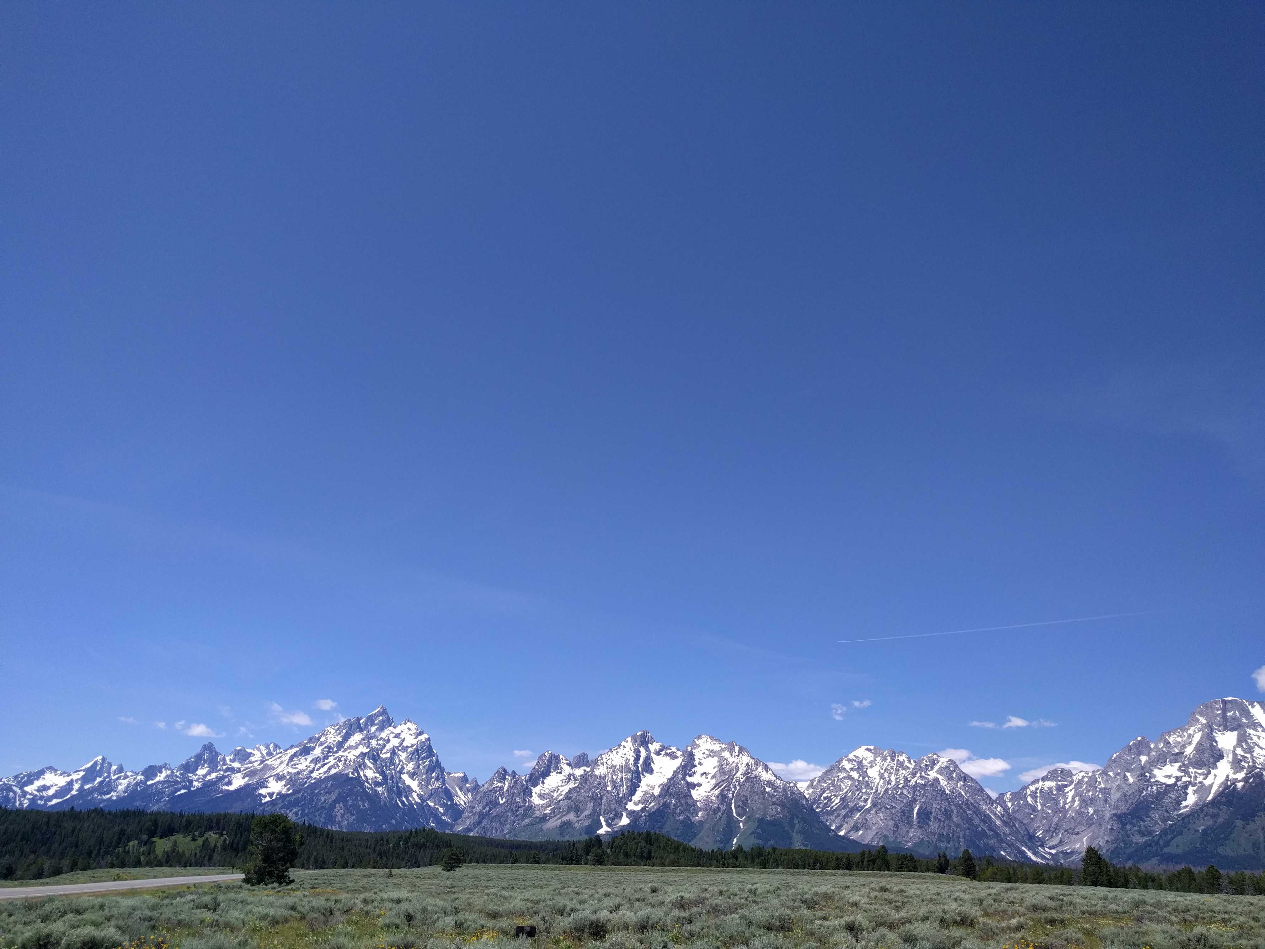
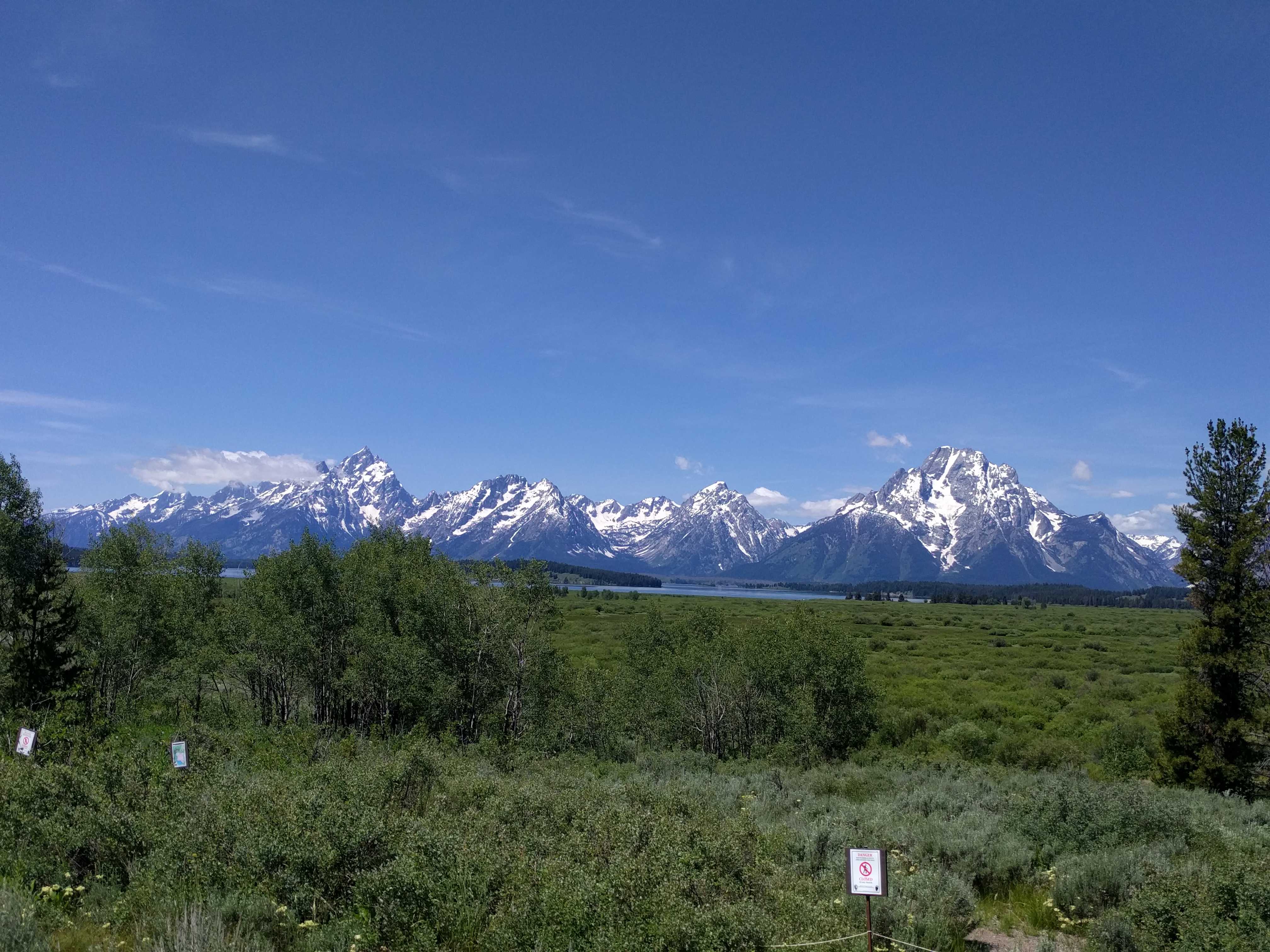
 We left Cody on Tuesday morning heading for a KOA in Buffalo Wy. Not a particularly long drive, but we did need to go over the Big Horn mountain range so we knew it might be a scenic one. (steep) It didn’t let us down. Just past the town of Ten Sleep, we started to climb. Once we reached the really steep part, we were a few cars behind a cattle truck going 15 miles an hour. After we slowly passed a few turnouts, I knew we were in for a long day. This joker wasn’t going to pull over. About 20 minutes of driving that slow and I was ready to pull my hair out. [I can’t tell you how much it bothers Bill when people drive too slow in front of him, even in the beautiful, scenic parks. Something new I discovered about him.]
I saw a large turnout coming up and we pulled over to grab a bite as it was just after noon anyway. We were there probably 15 minutes, including the dog walk. Then we got back on the road up. Not 10 minutes later we ran into the back of a much longer line of cars and trucks with that dang cattle truck way up front. Oh, The Horror!
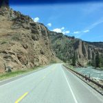
He was still not pulling over. We sat behind that line for at least another hour [Really probably 20 minutes] and at times we were at 5 mph. Never exceeded 15. Finally, as we were about to find the summit, he pulled over. And all the vehicles went around him until a trailer that was two spots in front of us. He was going to let that guy back in…. I leaned on the air horn… for at least 45 seconds before he pulled out and we got past. I was not going to stay behind that truck any longer. Can’t imagine what he would be doing on the long, steep grades heading to the valley below and Buffalo, our destination for the day.
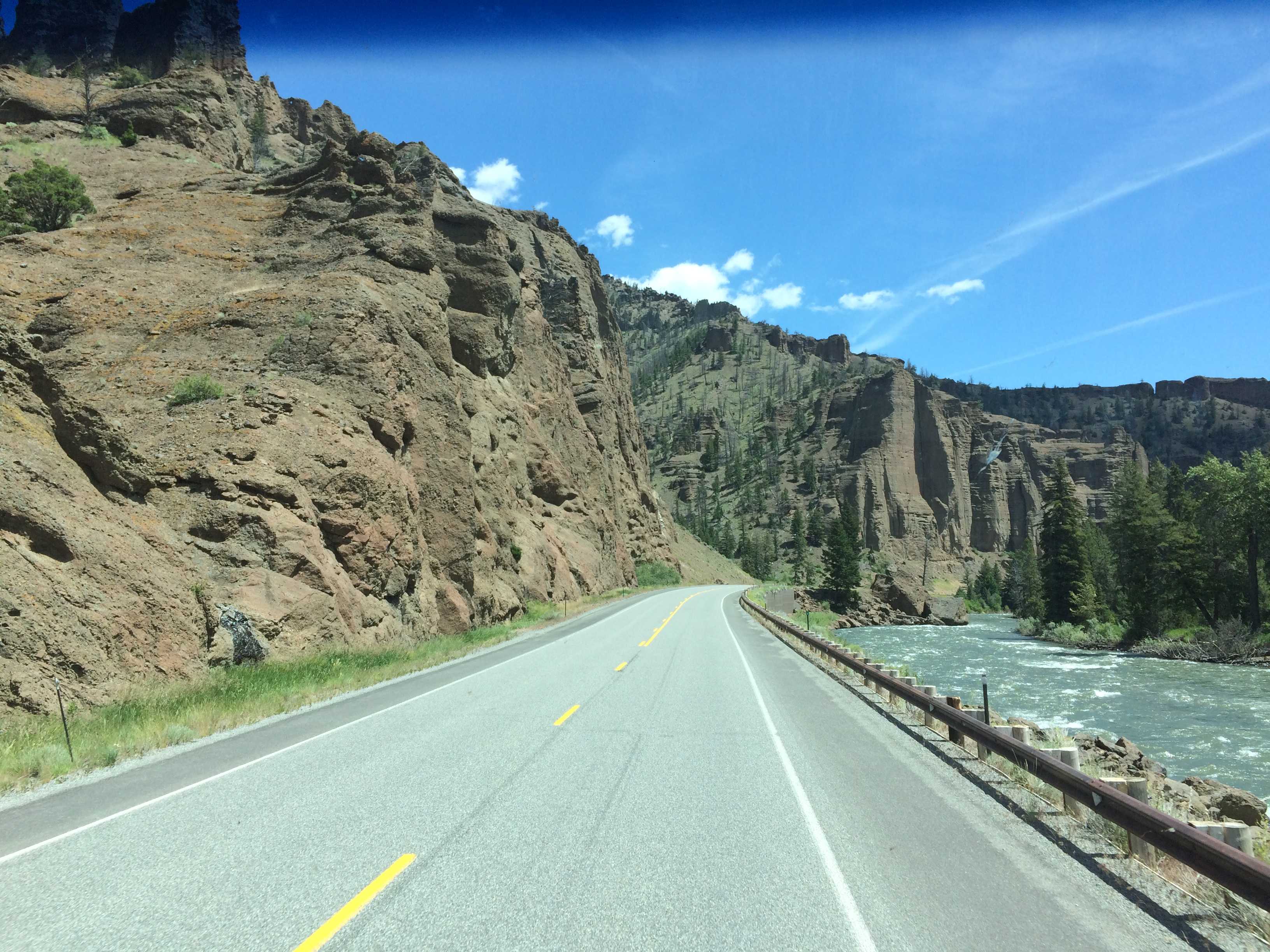
There were four very long 7% downgrades with mandatory brake checks for trucks and RVs. Had never seen that on a sign before. But the grades were amazingly long straights ending with sharp turns all the way down.
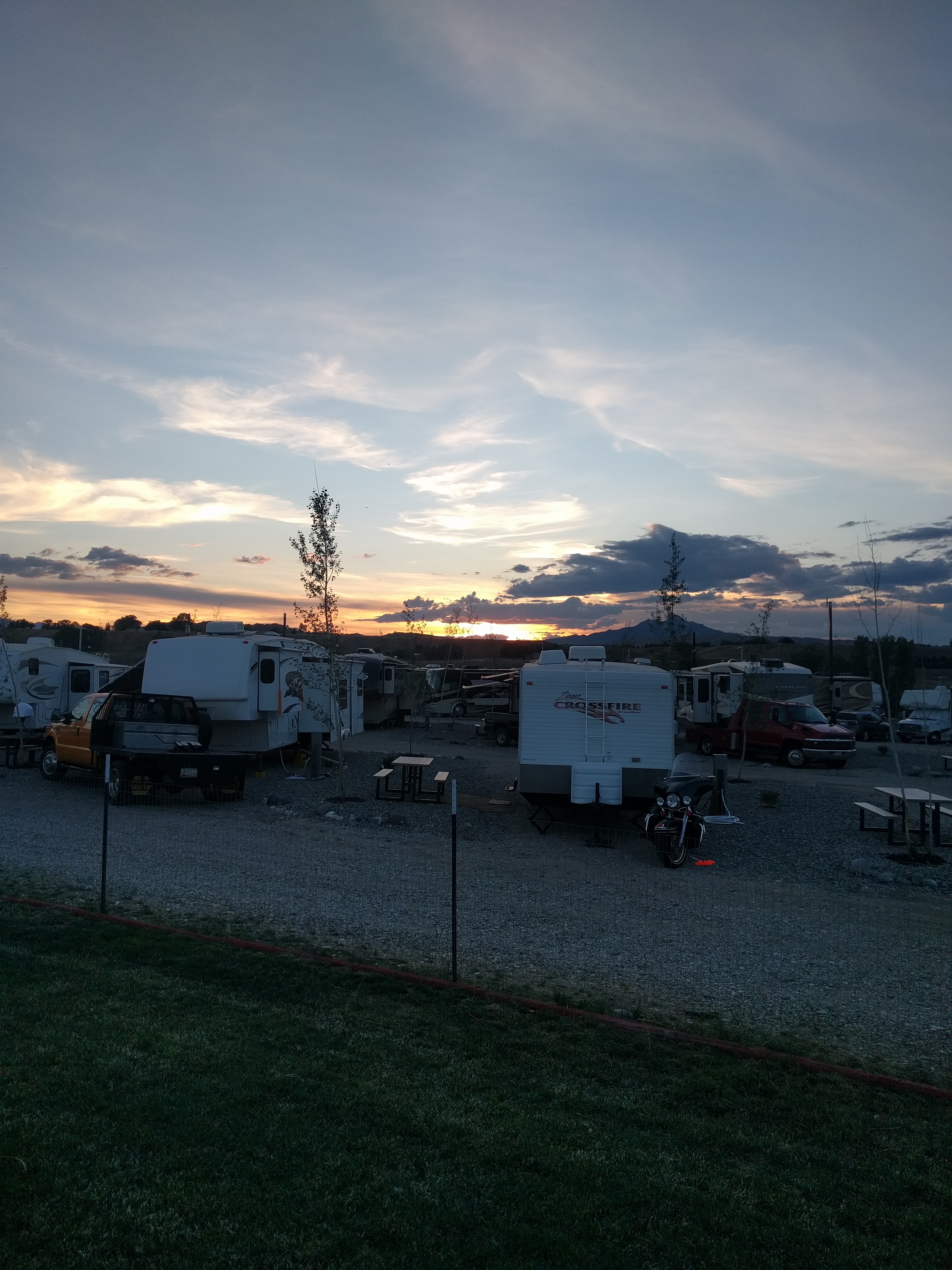
We found the KOA, checked in and was led to our spot for the night. We deployed the living space and unlatched the car so we could go into town. It was HOT so off to the showers.
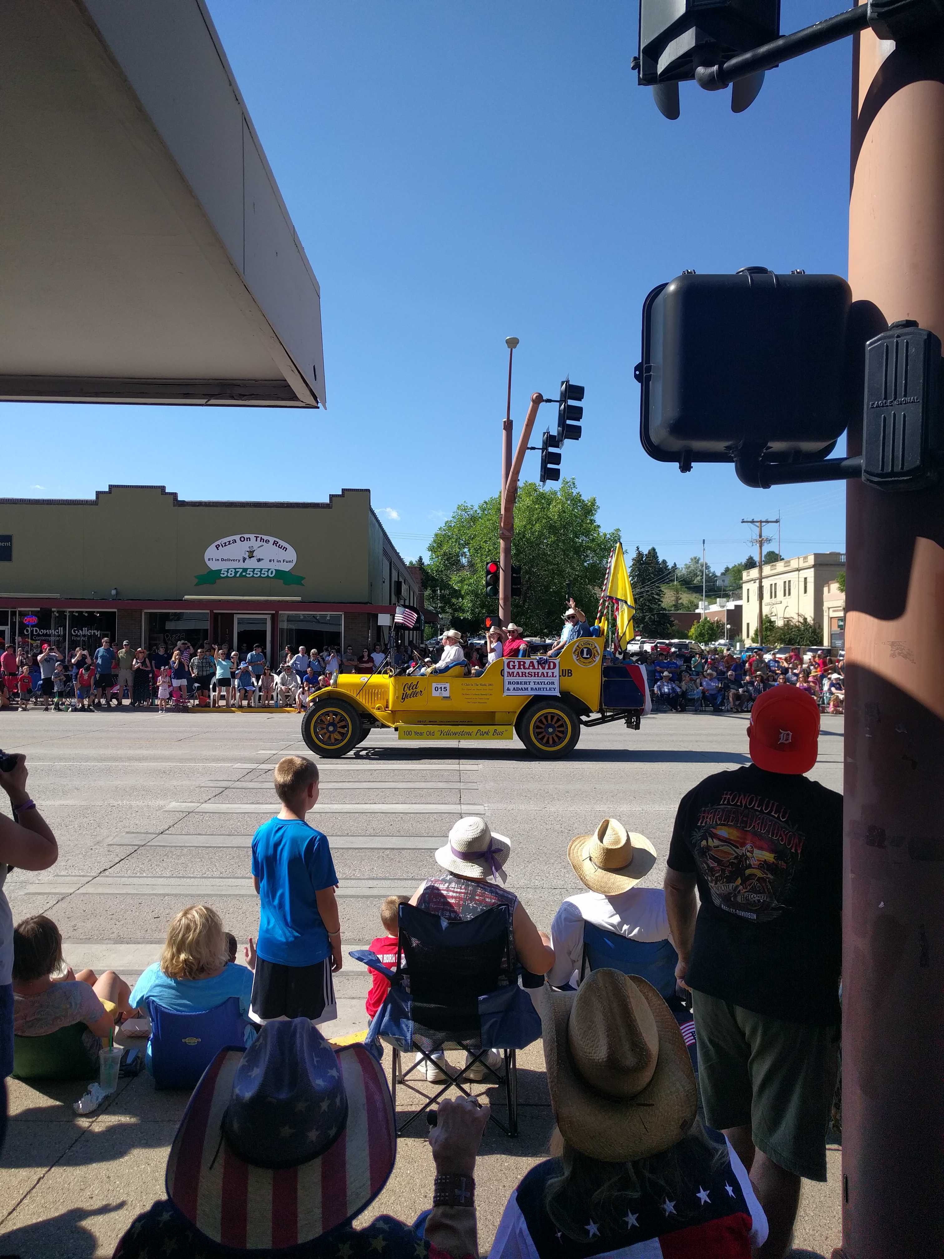
Once back we headed into town. It was still pretty hot, mid-90’s. I had read a bit about the town. I guess its current claim to fame is Longmire Days. (I had missed that part) Turns out the guy who wrote the books the TV show is based on lived here and wrote about life in and around Buffalo Wy. As fate has it, the celebration begins on Friday. We were leaving on Thursday. But I heard Starbuck wasn’t going to show, so I didn’t care.
We stopped by a local museum and picked up a few walking tour maps. Geez, they were so incorrect it was comical. Many U-turns and lefts listed but were supposed to be rights. I wondered who compiled this mess. [Thank goodness we were driving. We would have died on the tour it was so hot!!]
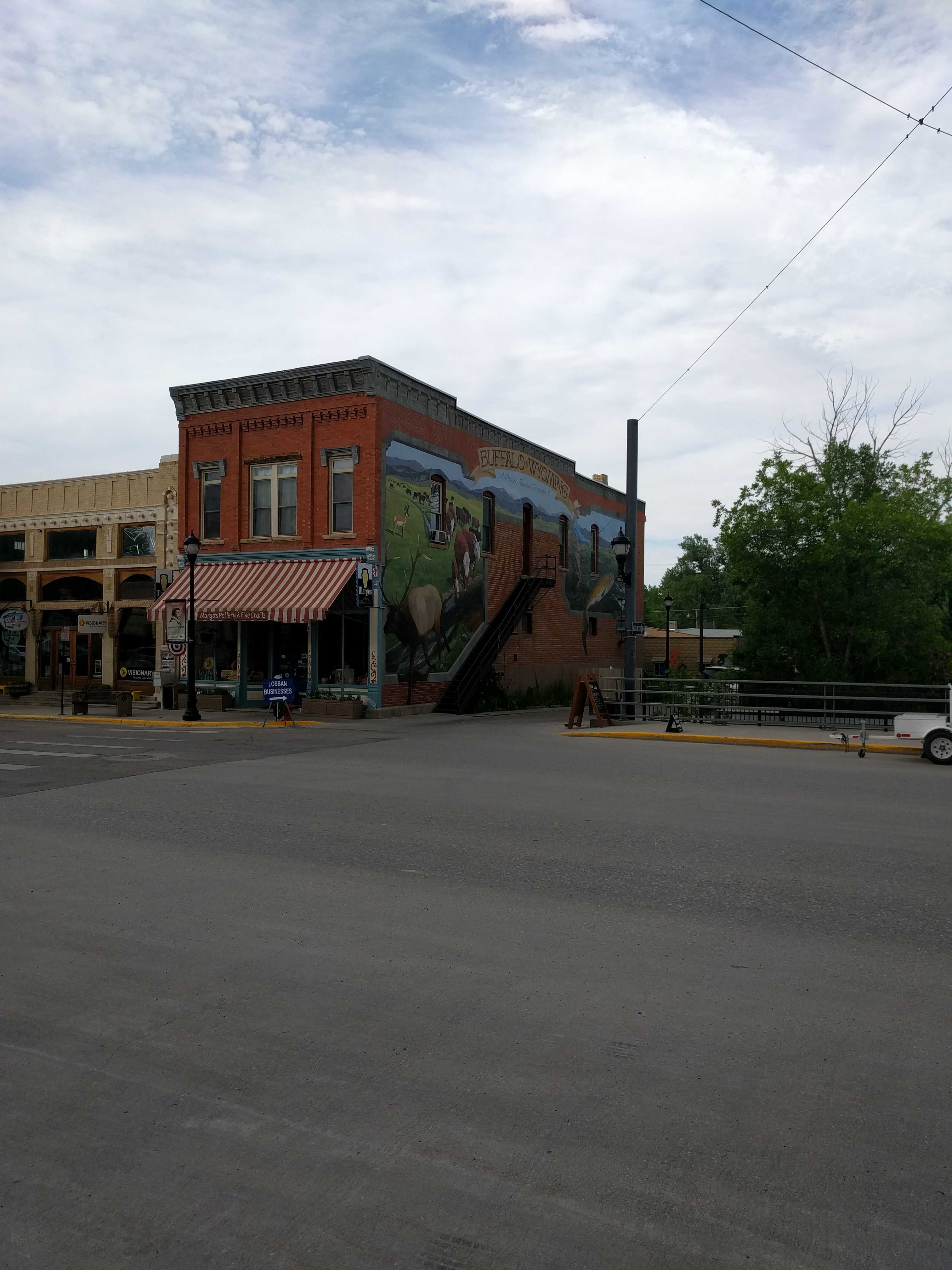
After we drove all around the town’s back streets for about an hour, it had cooled off by at least a degree, maybe two. It was about 95, so we parked on Main Street and started walking the very short old downtown. There are a lot of places called “Crazy Woman” something, Square, Canyon, Road, liquor store, Realty etc. I still don’t have any idea what that is all about.
There was a farmers market happening but not like any I had seen before. No produce. Mostly trinkets, and some raw milk tents,
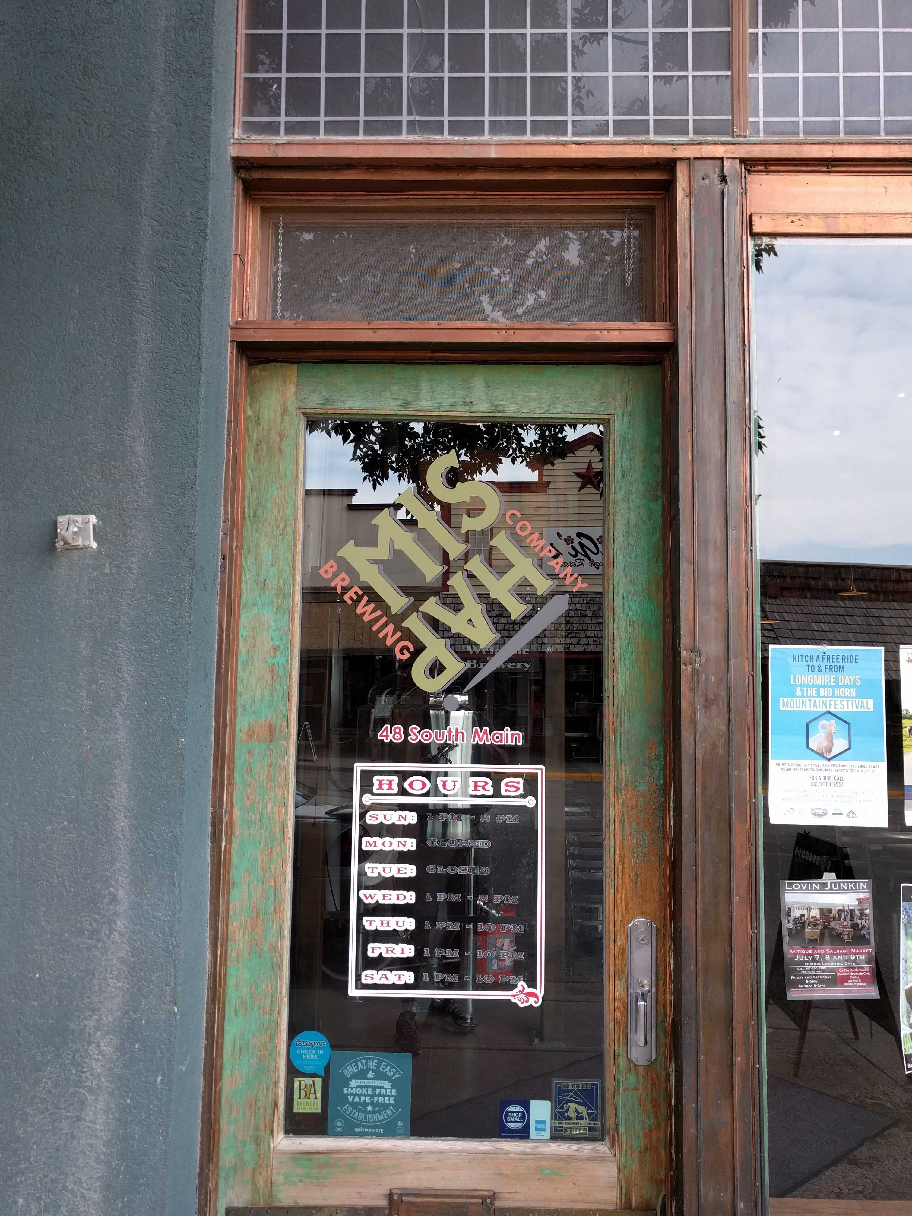
 We stopped in the Mishap Brewery and the bartender noticed my dogs looking in the window and said there was a patio out back and that we could bring them in thru the brewery. Had a decent pint and Kathy had what looked to be a highball glass of white wine (Cold, Anything Cold she had told him)
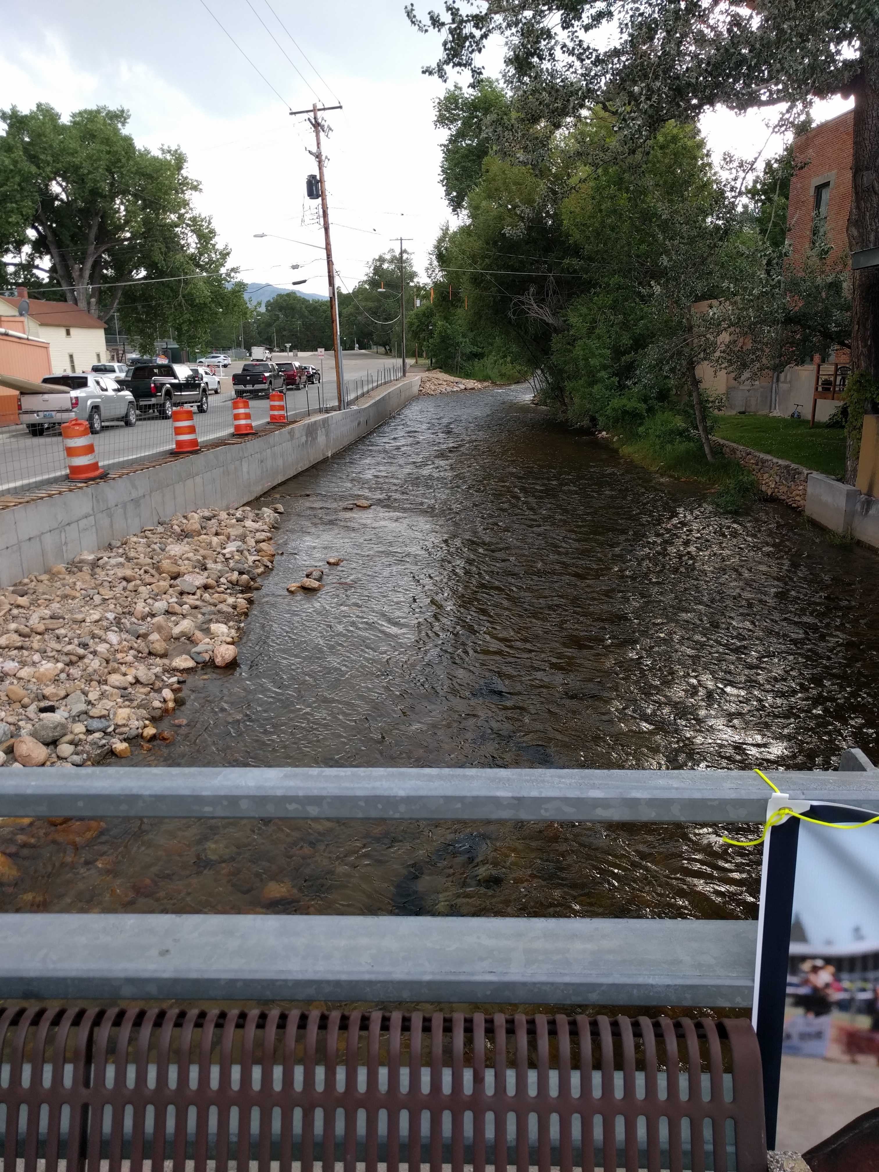
The beer was just OK, so I didn’t bother getting a growler fill. It was still really warm on the patio, so we left and headed up the street to a bench on a small bridge crossing the Clear Creek. There was a 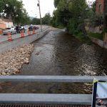 glorious breeze there, and we sat there a bit conversing with a lady driving a horse-drawn cart. The horse was maybe five feet from us and the pups didn’t let him out of their sight. She mentioned she grew up just outside of Cody where we had just come from and said she had moved to Bellingham, Washington for some time and missed riding horses, Not sure why she was in Buffalo and not in Cody, but before we could ask, she got a fare.
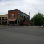
We headed off for the Occidental Hotel. It’s the main attraction in the town, nice place. After looking in there and the attached saloon, we walked back to the car and headed back toward the campground. Kathy was dying of heat prostration, starved and wanted Mexican, or anything where she didn’t have to cook. Taco John’s. Kind of a glorified Taco Bell but slightly better. The street tacos weren’t bad.
That night a big storm blew in, lots of wind, lightning and thunder.. and of course, large drops of rain pelted the coach.
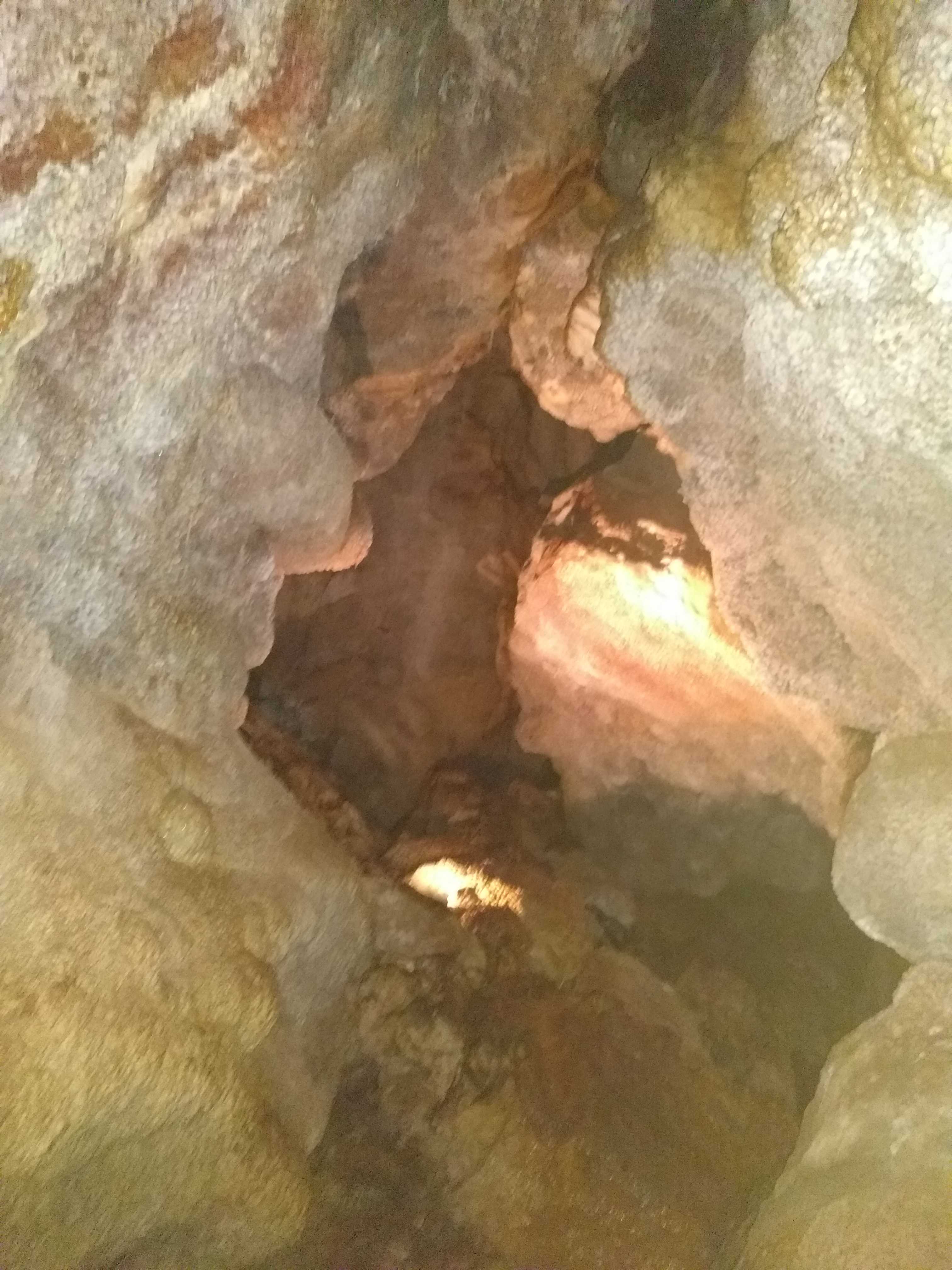
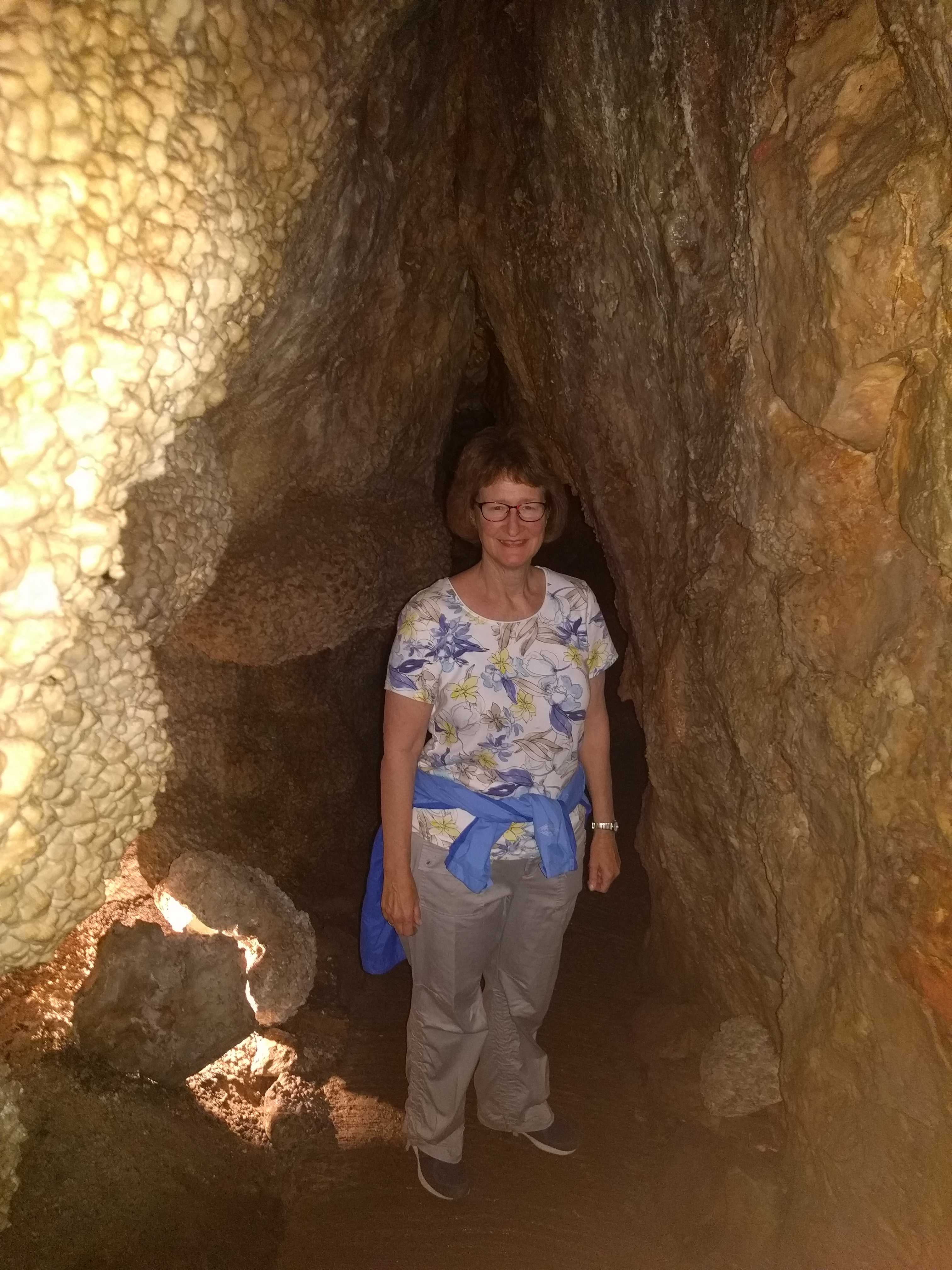
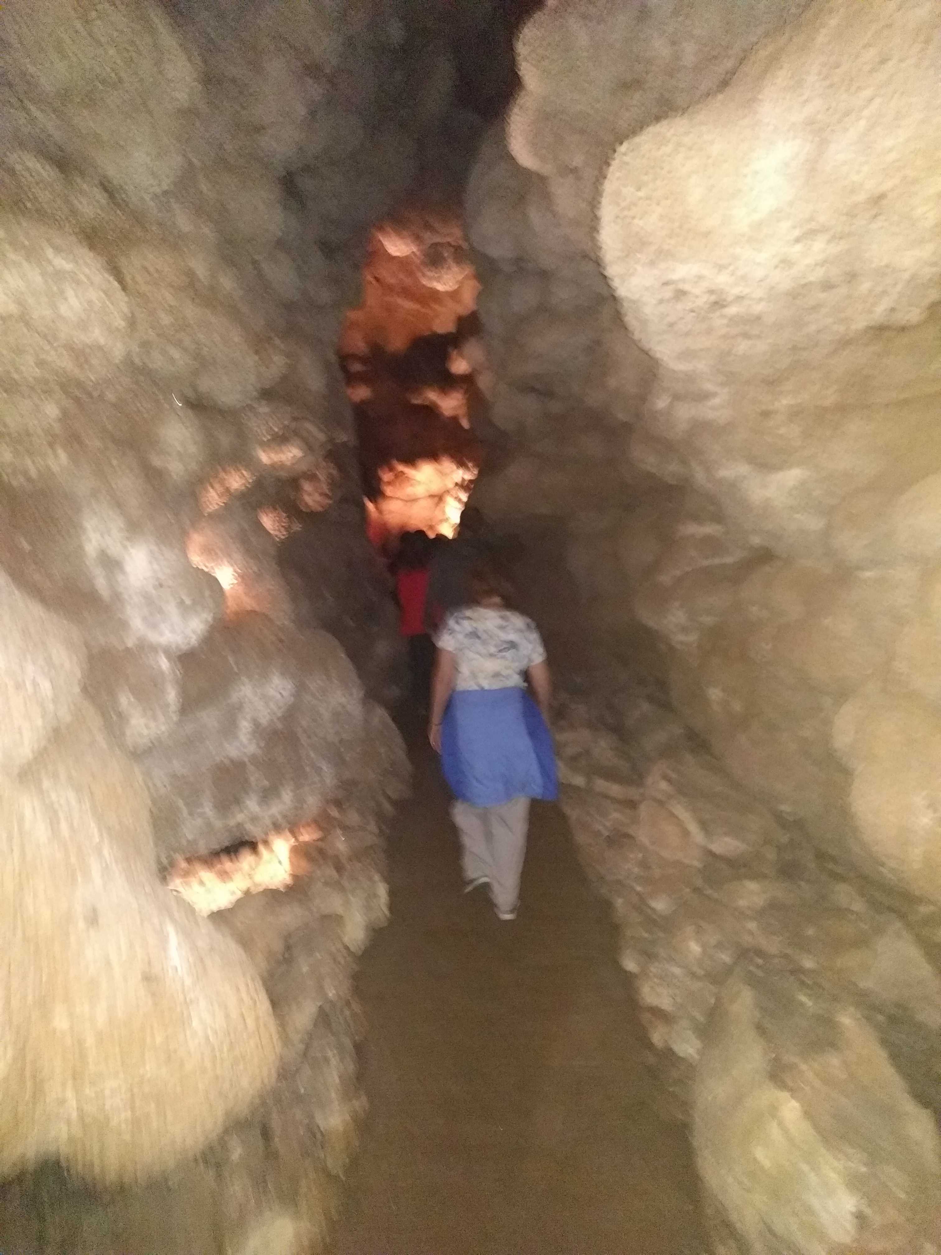
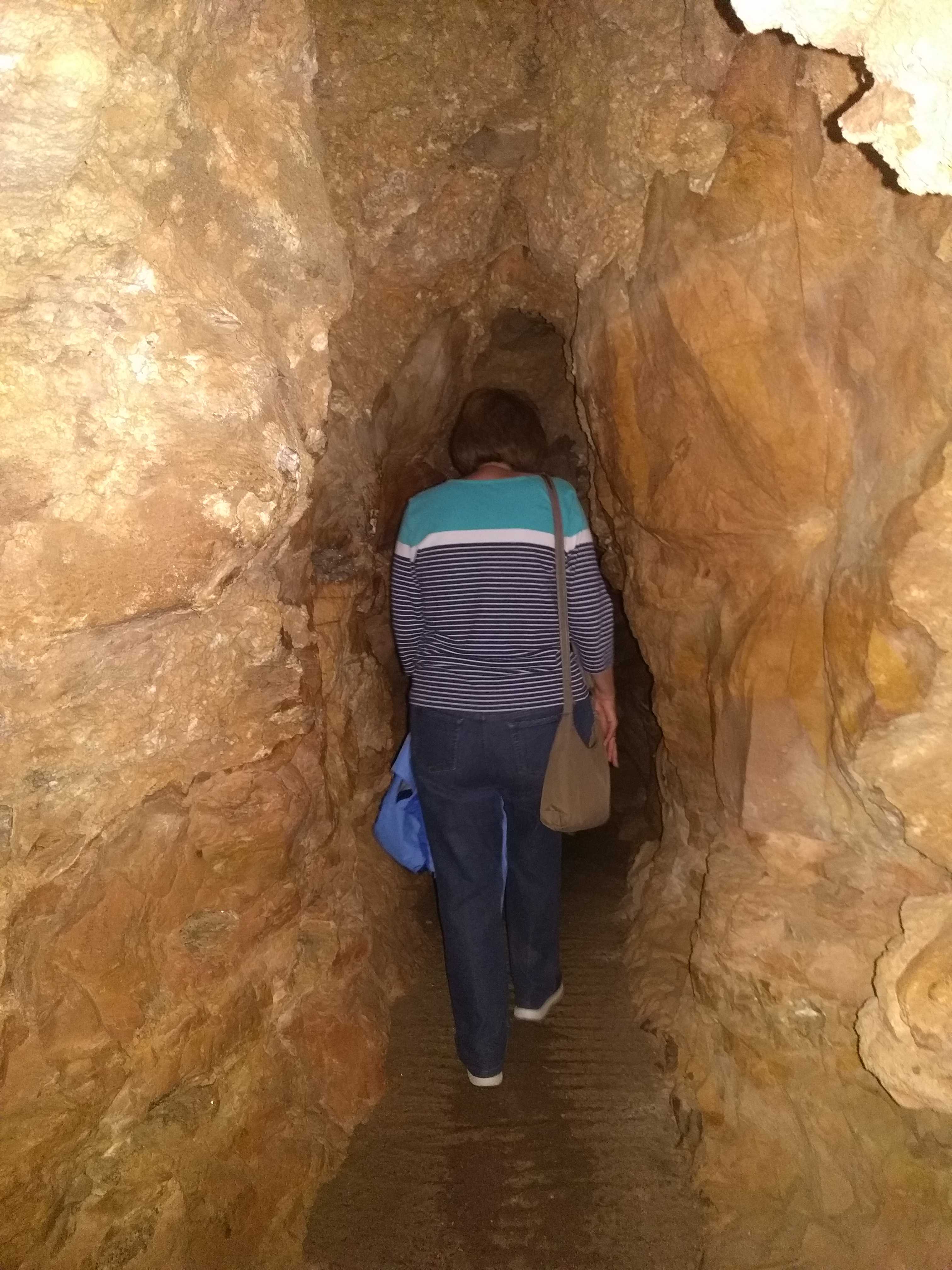
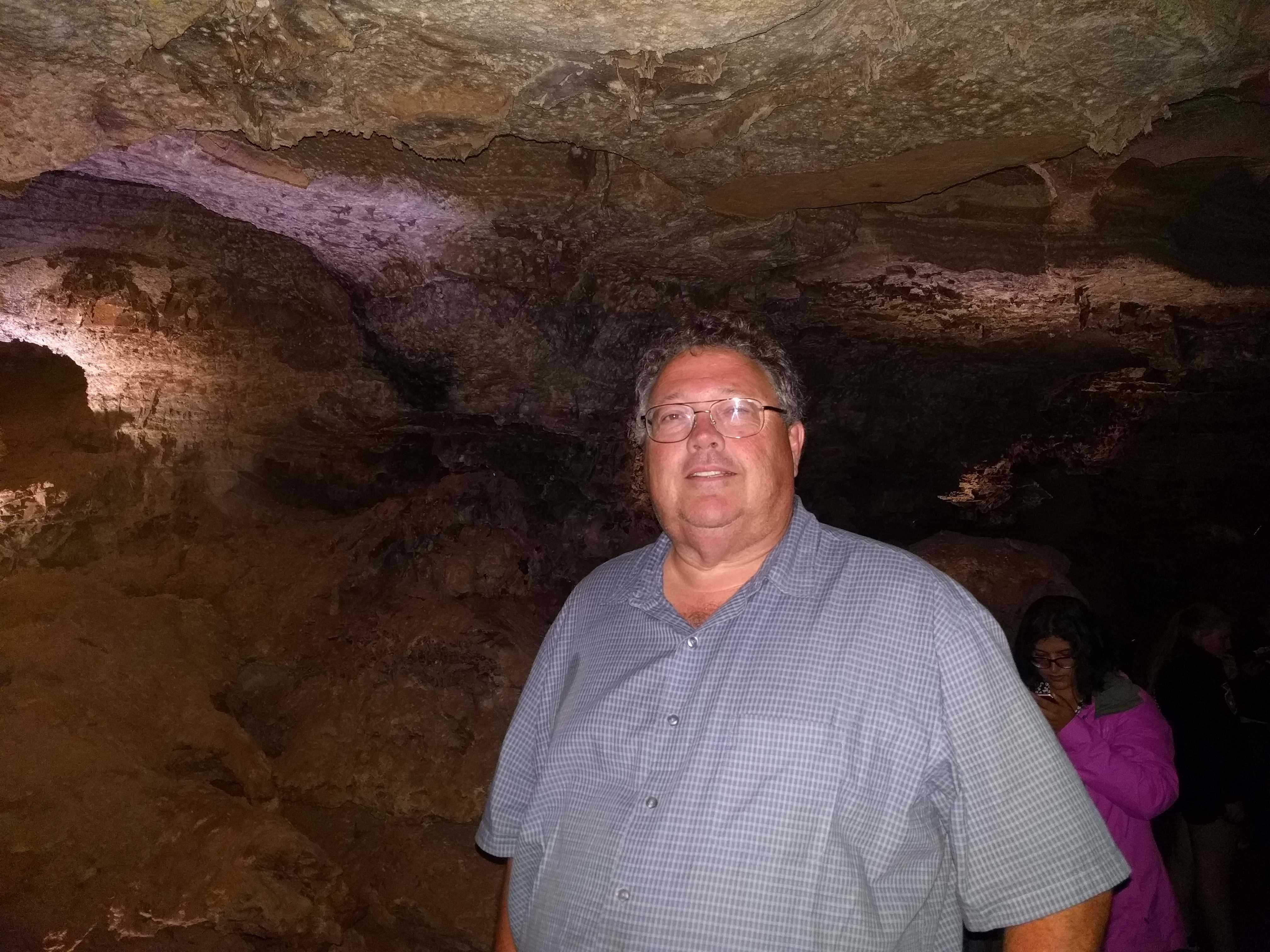
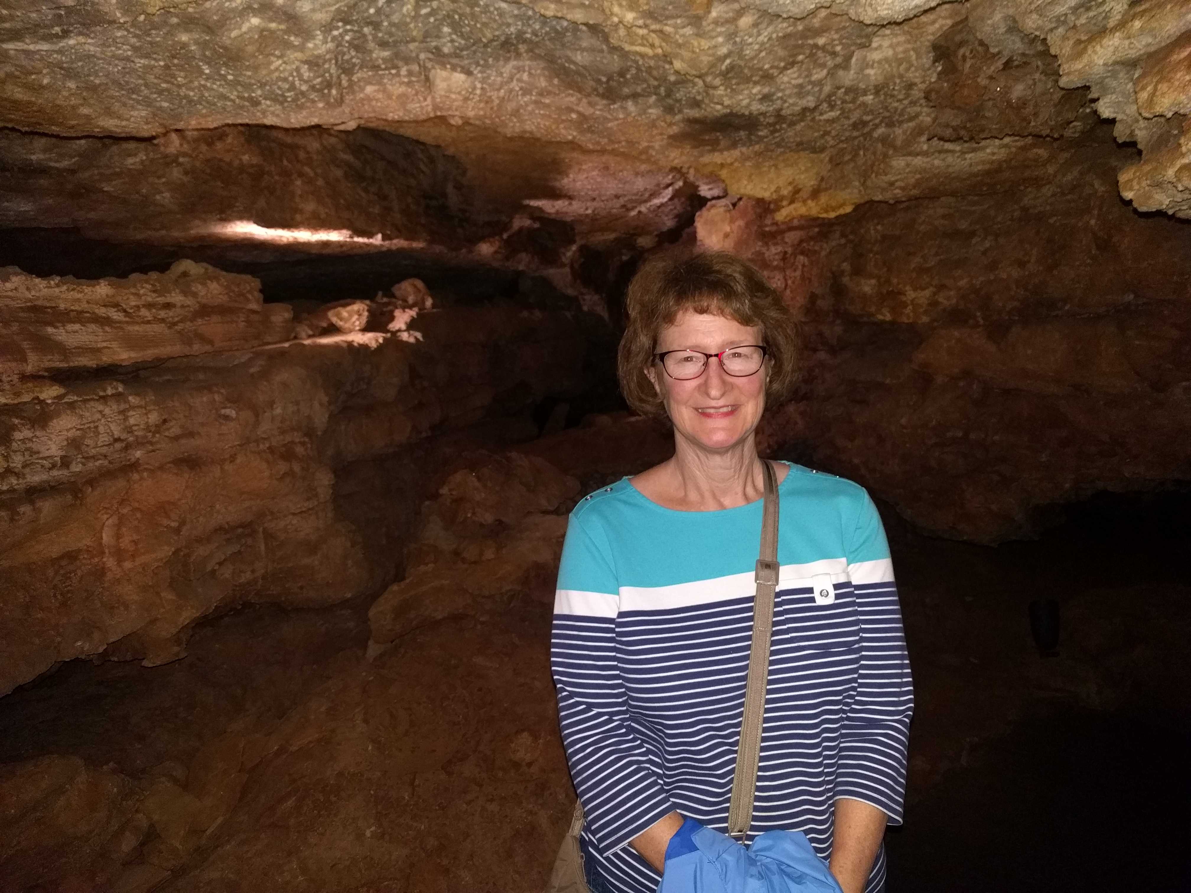
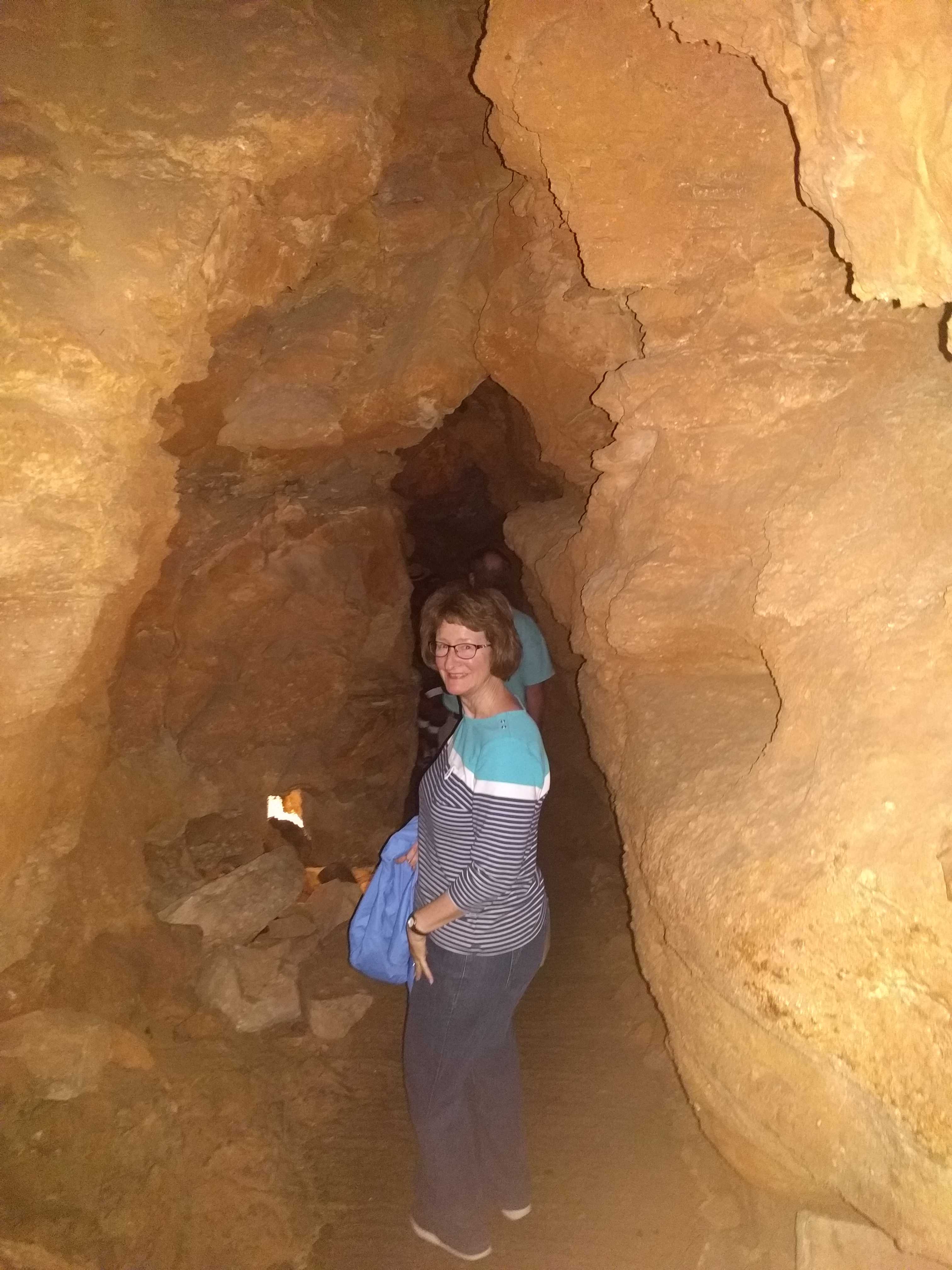
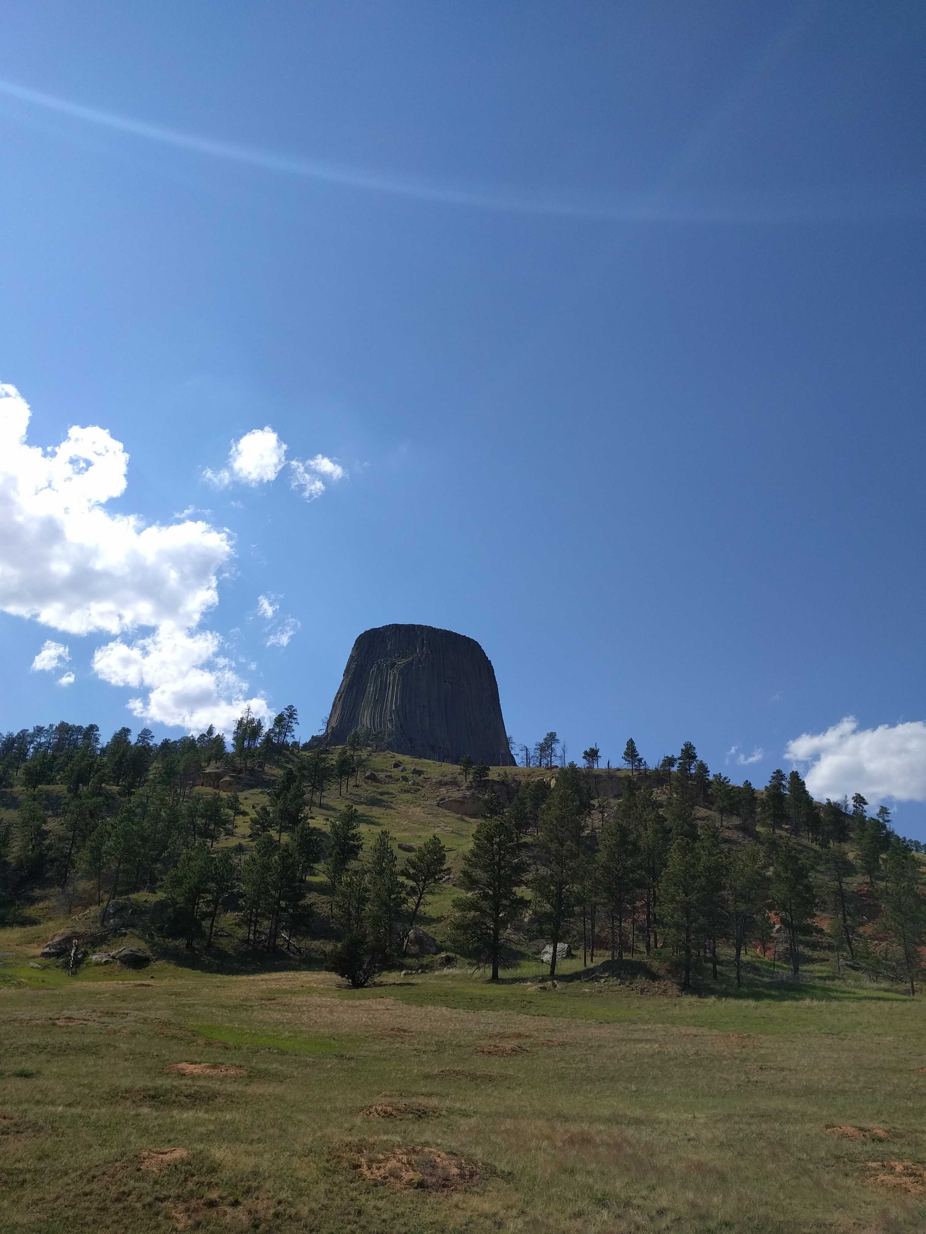
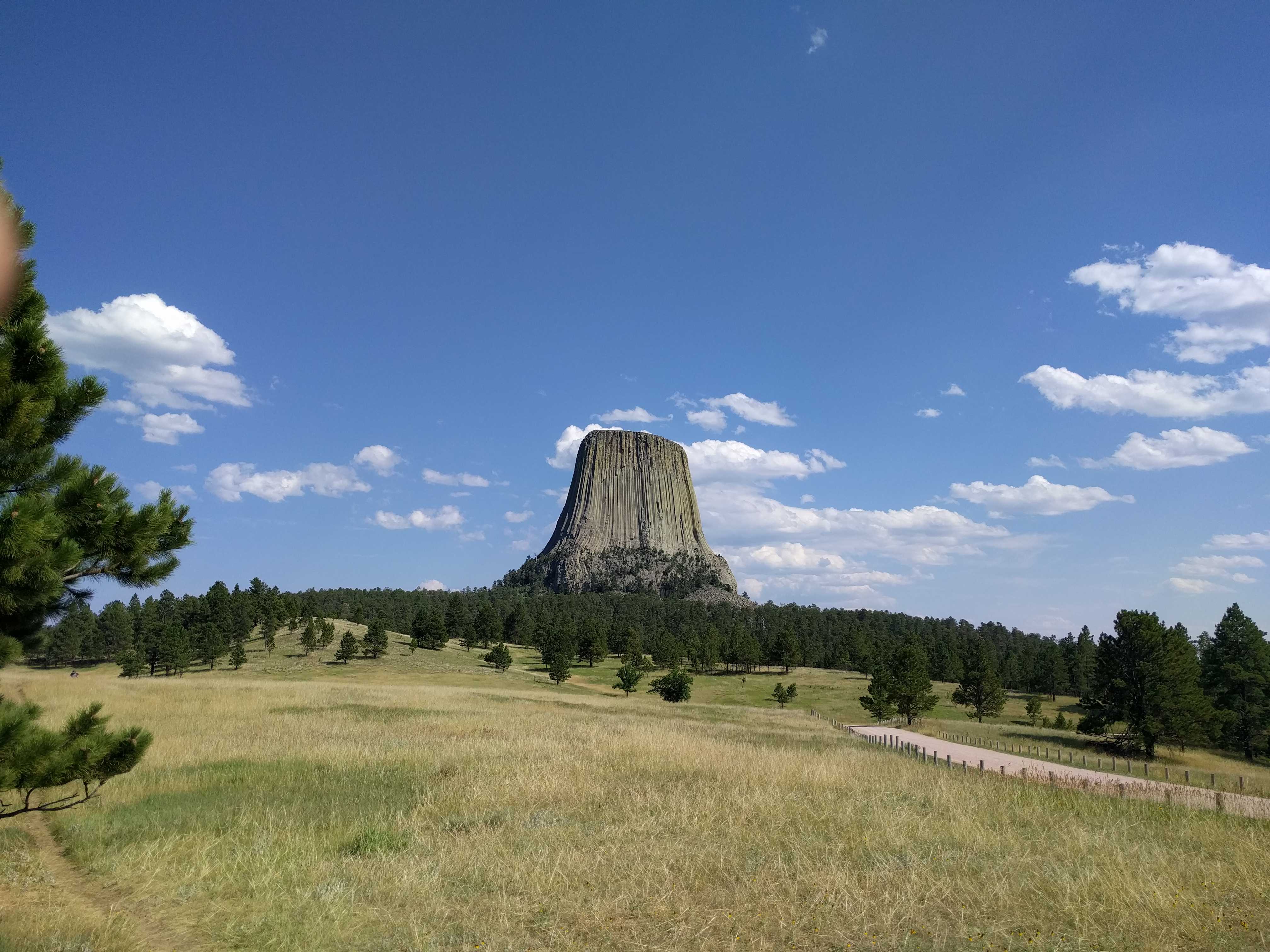
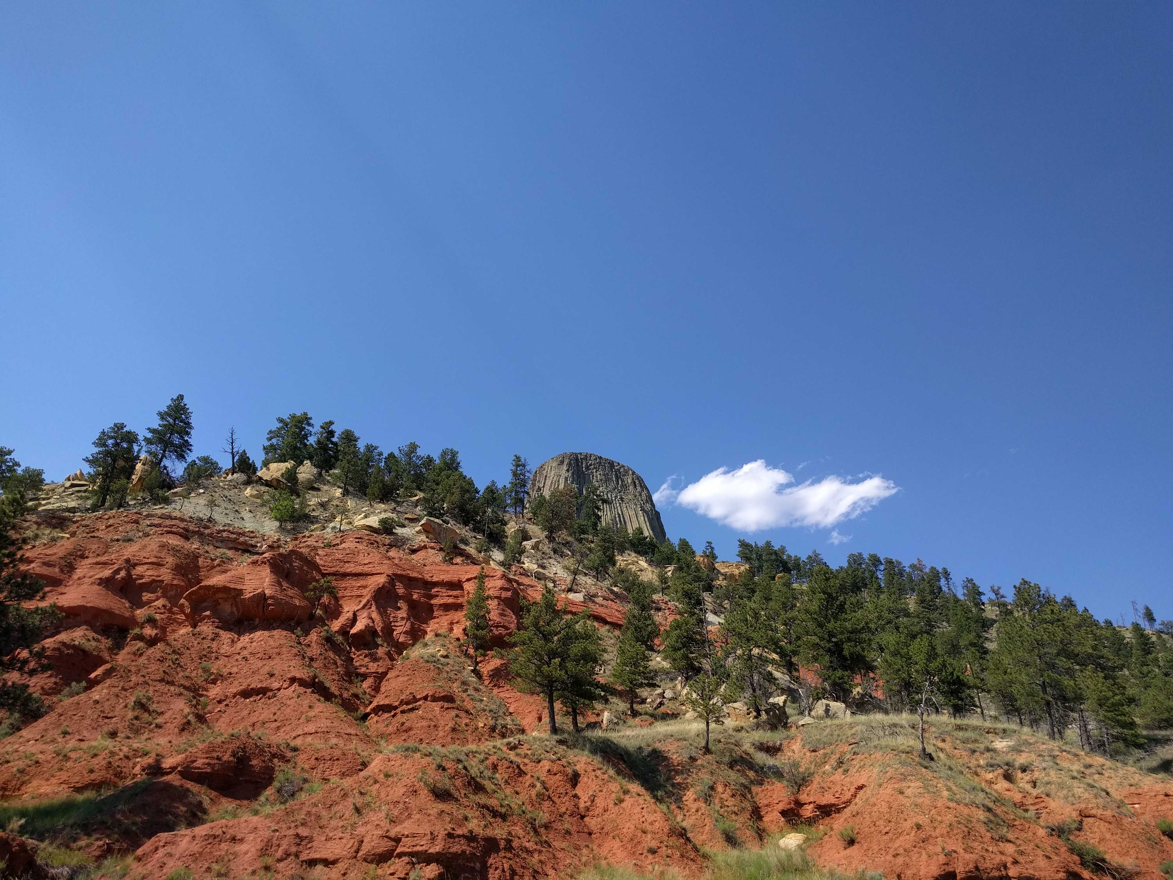
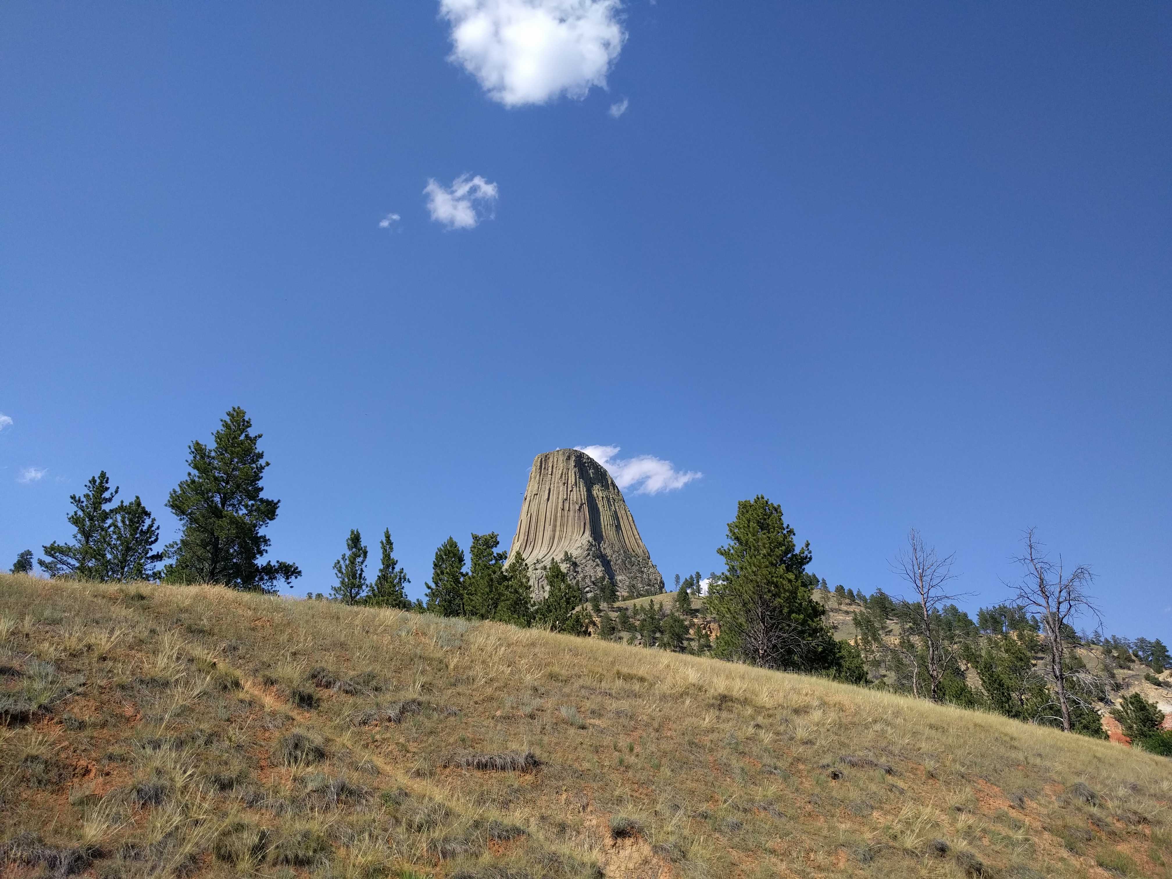
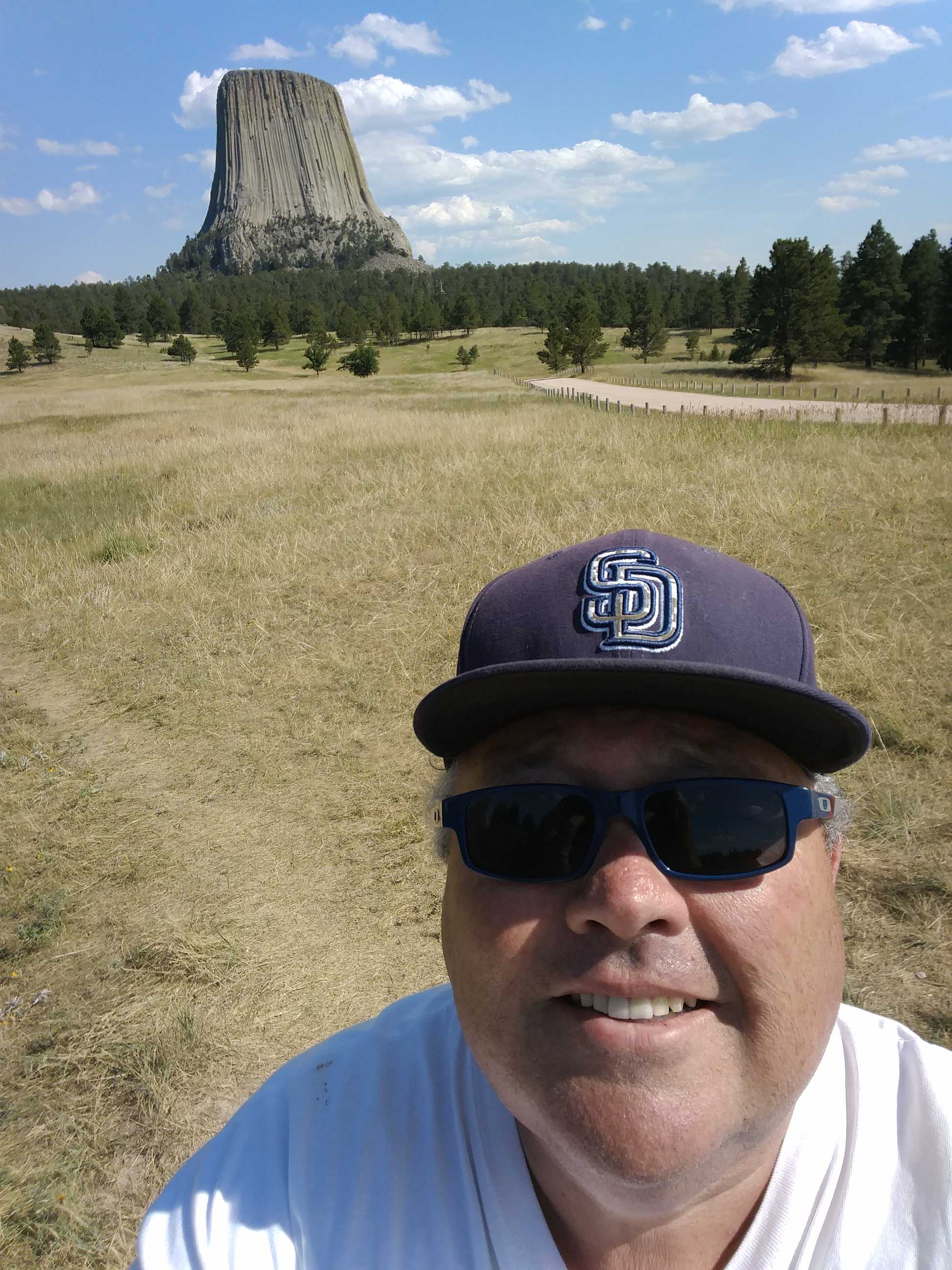
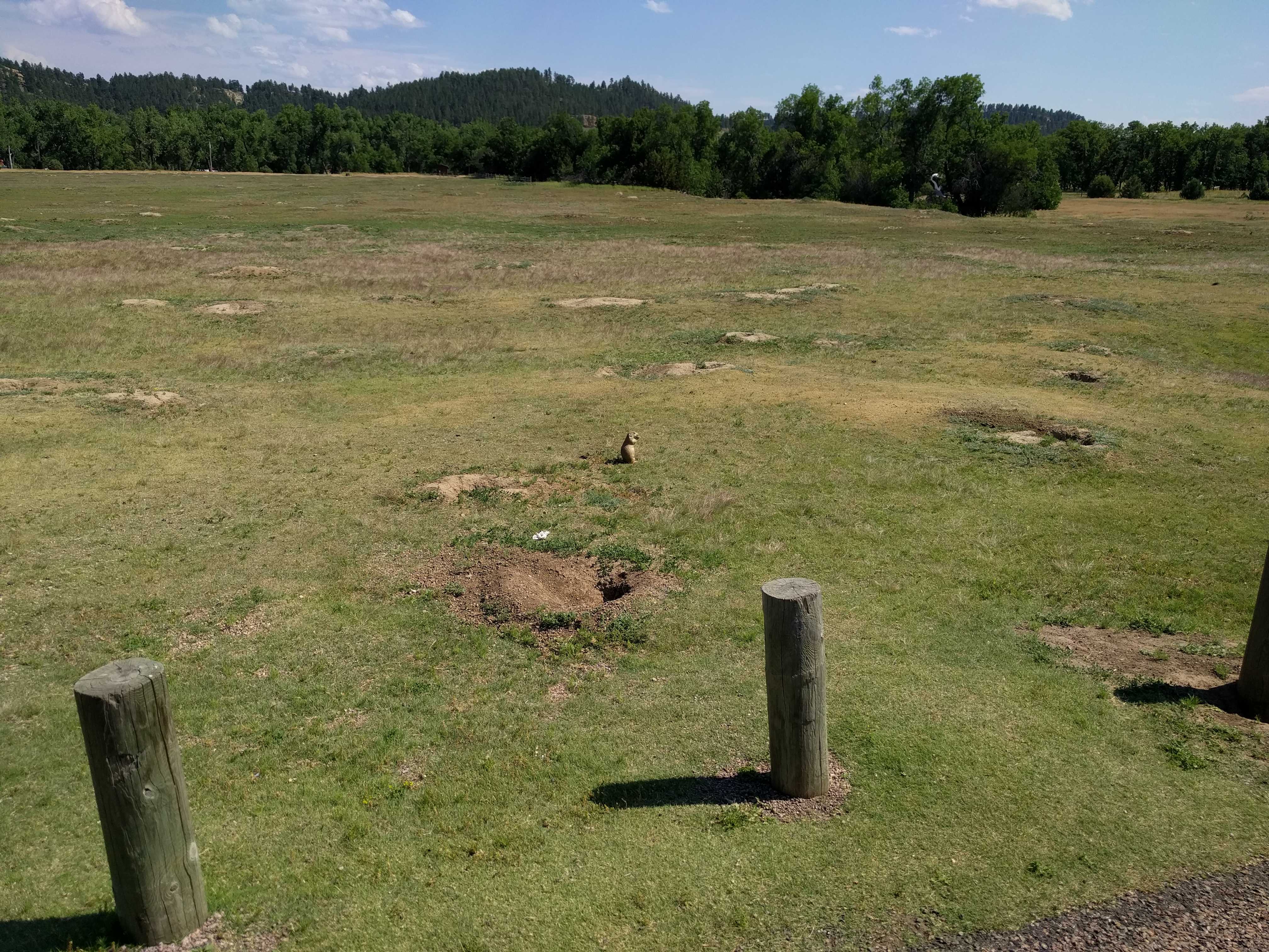
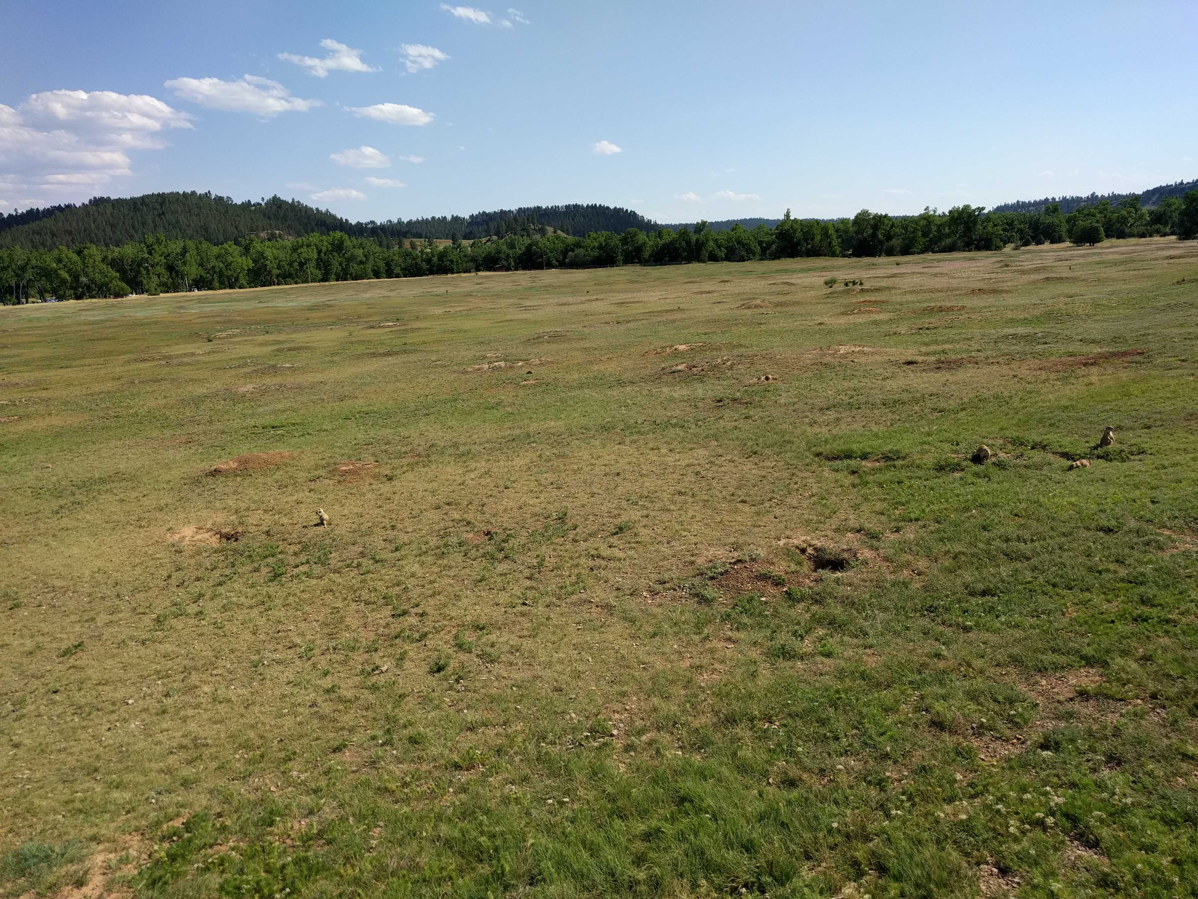
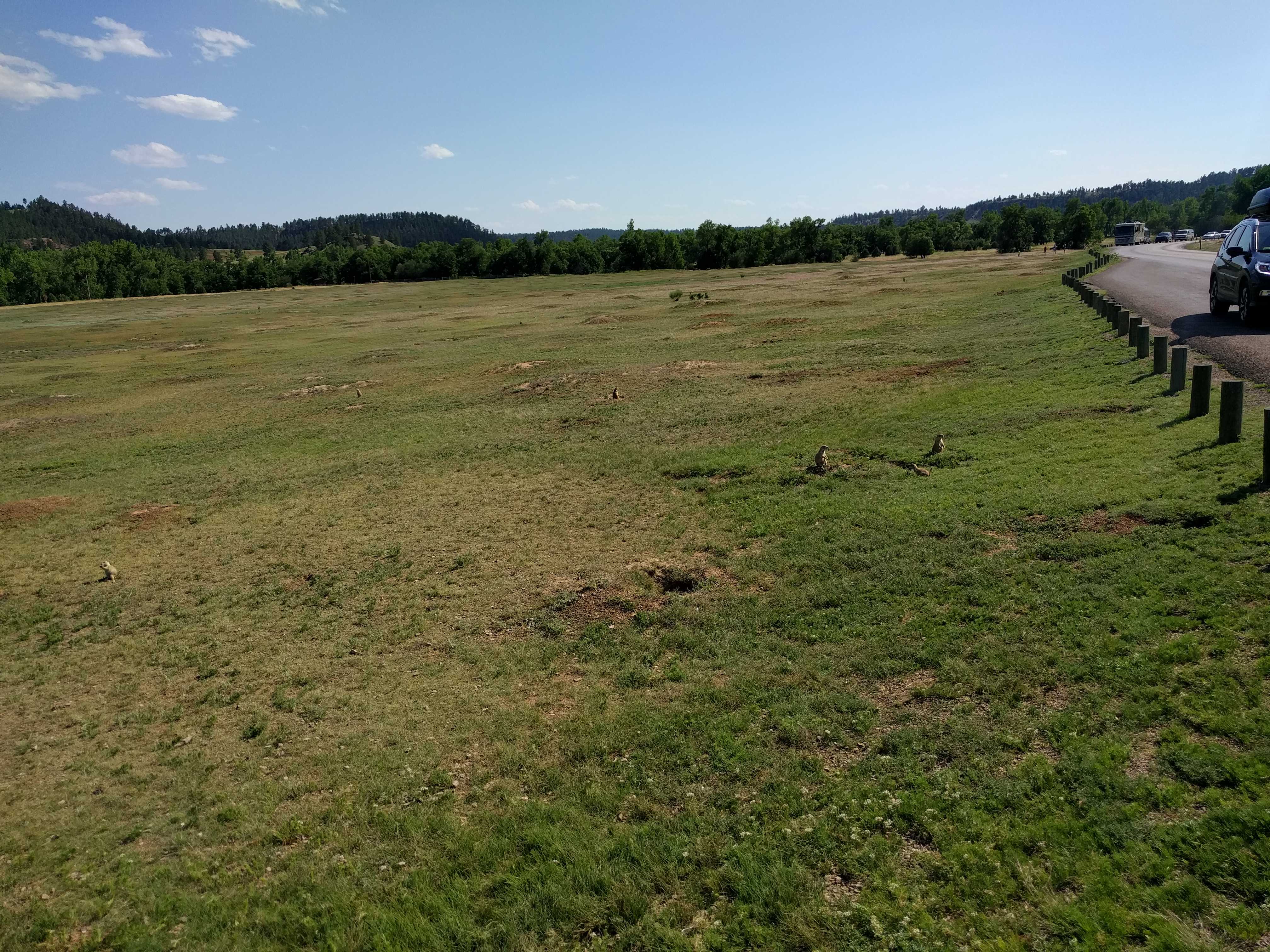
In the morning it was beautiful again, and getting warm fast. Packing up and heading for Devil’s Tower!

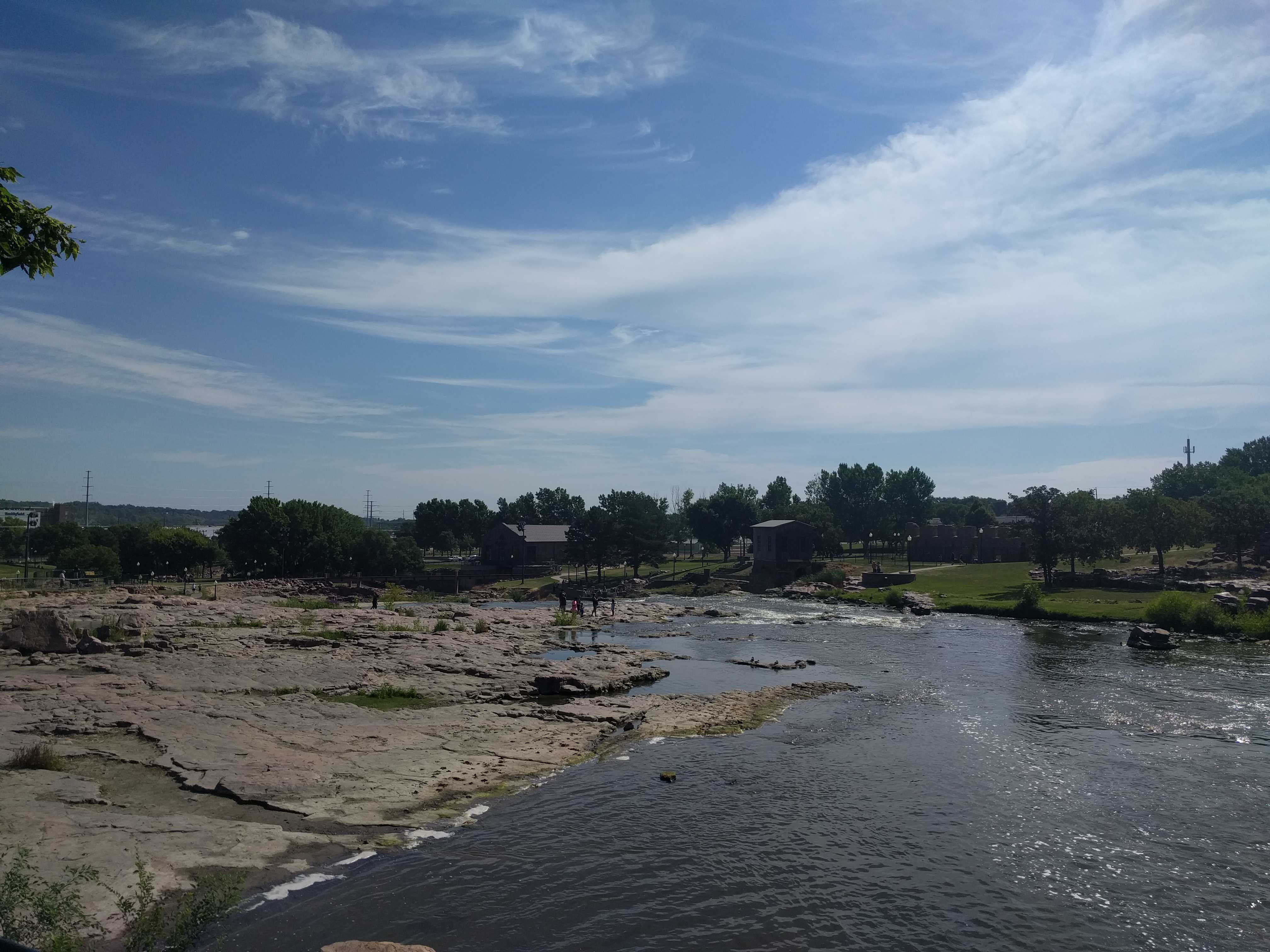
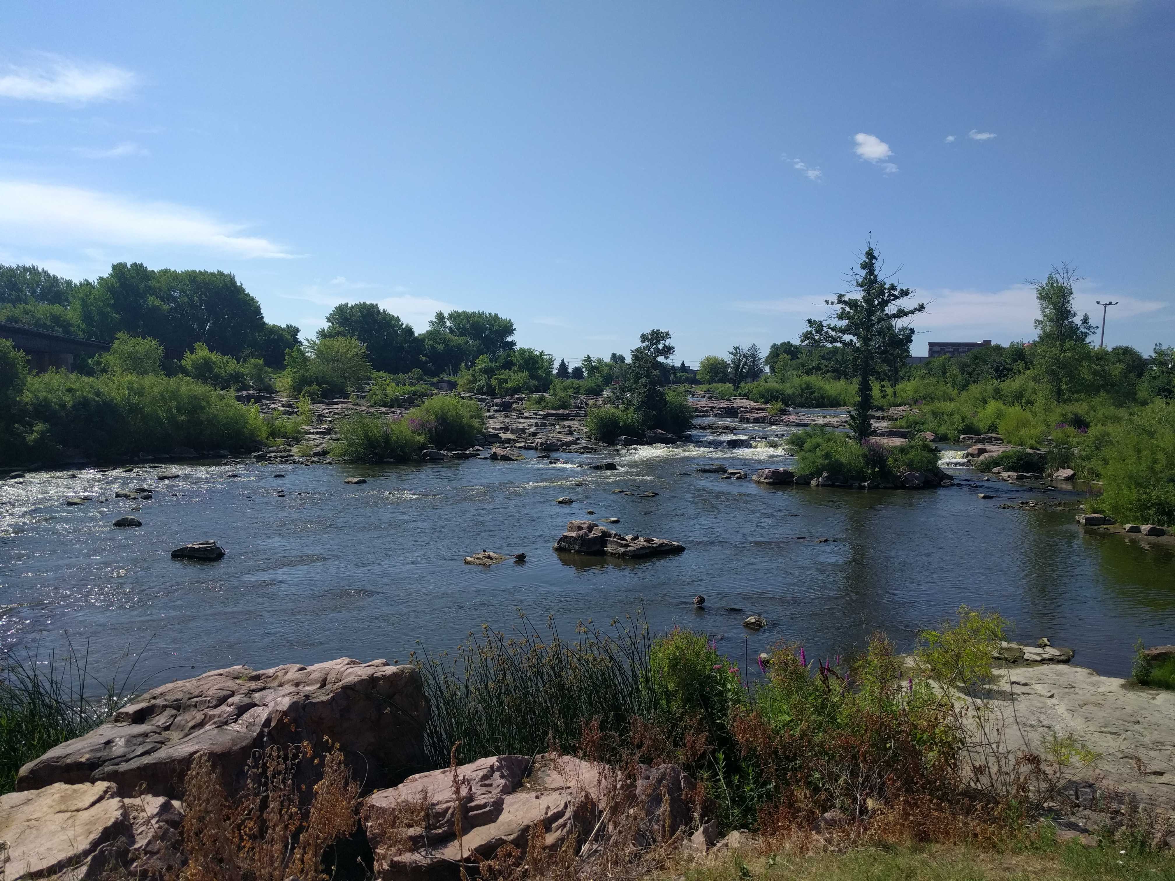
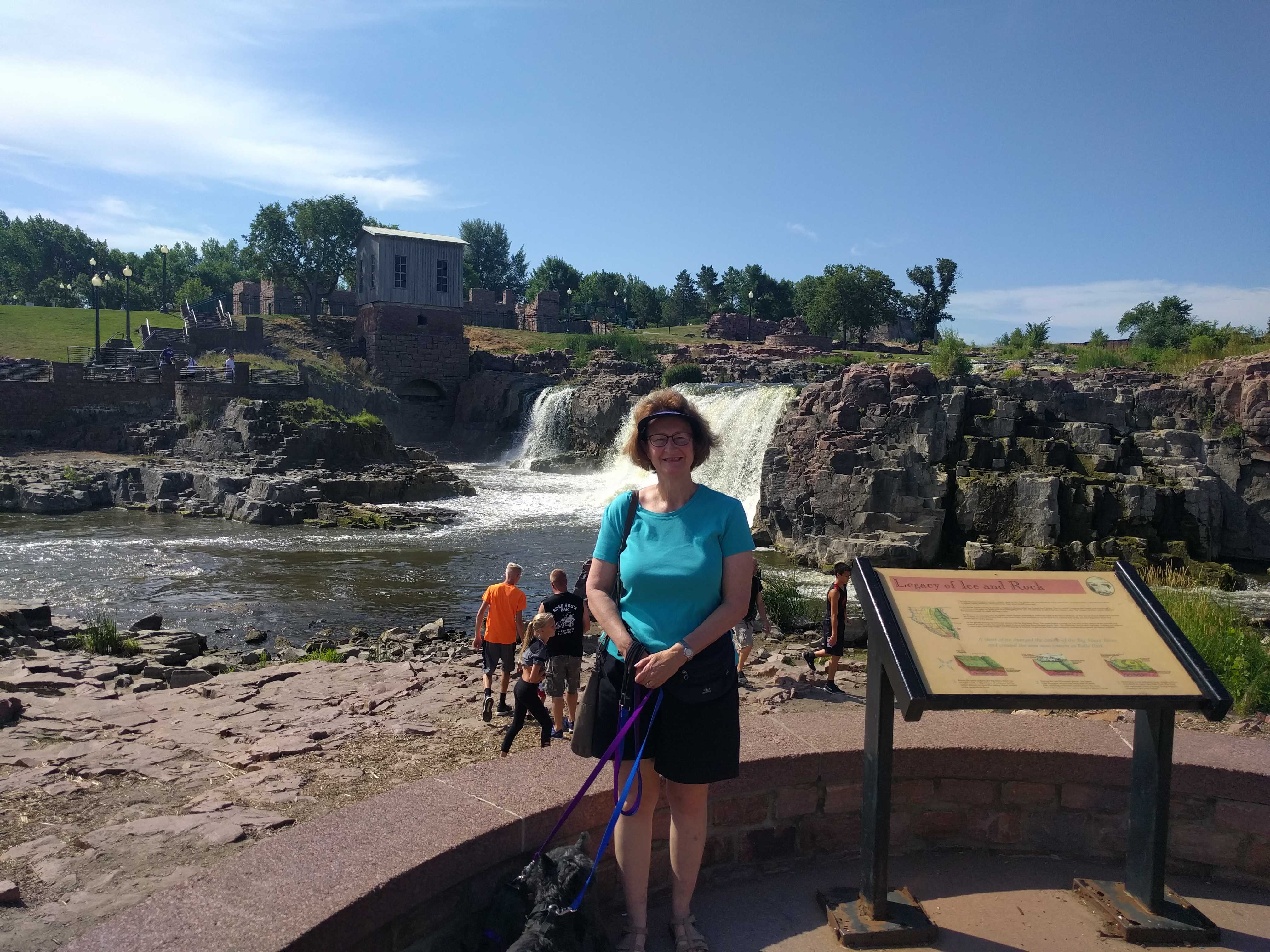
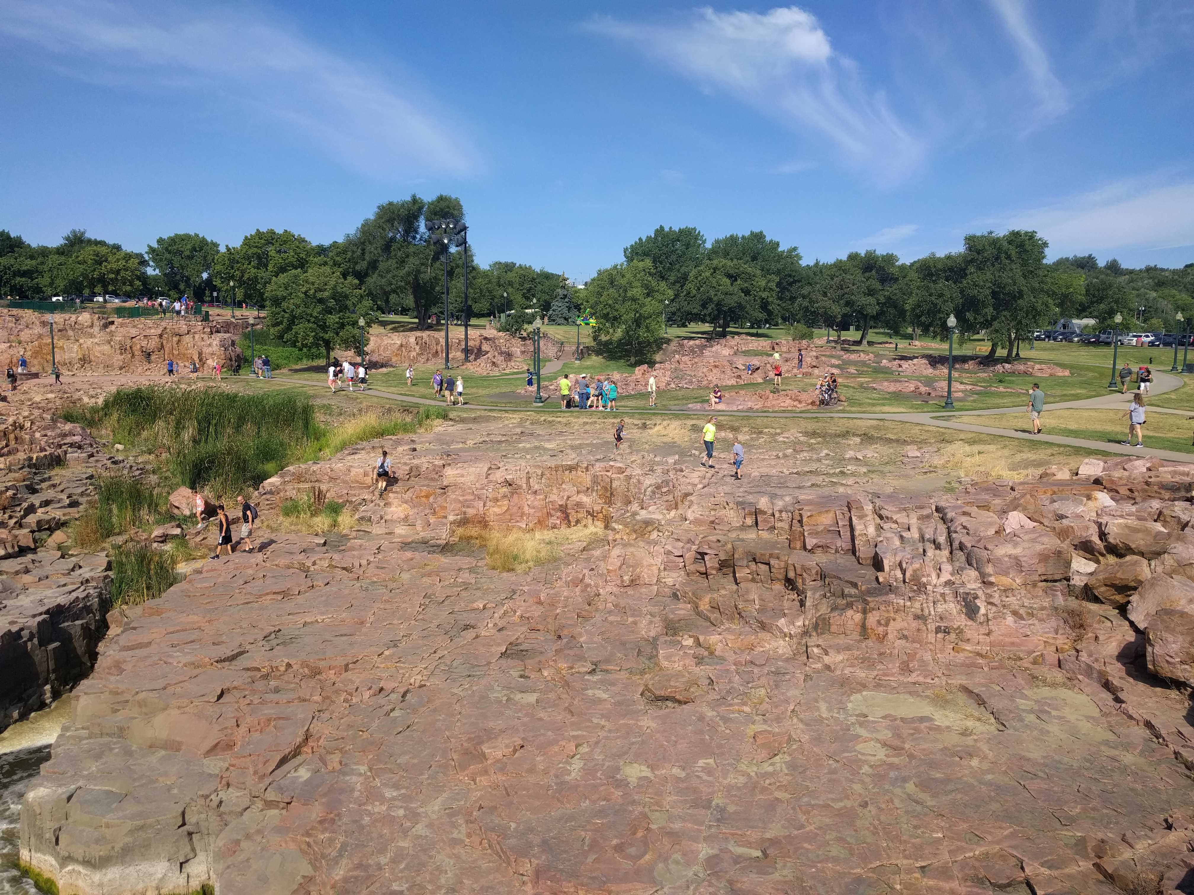
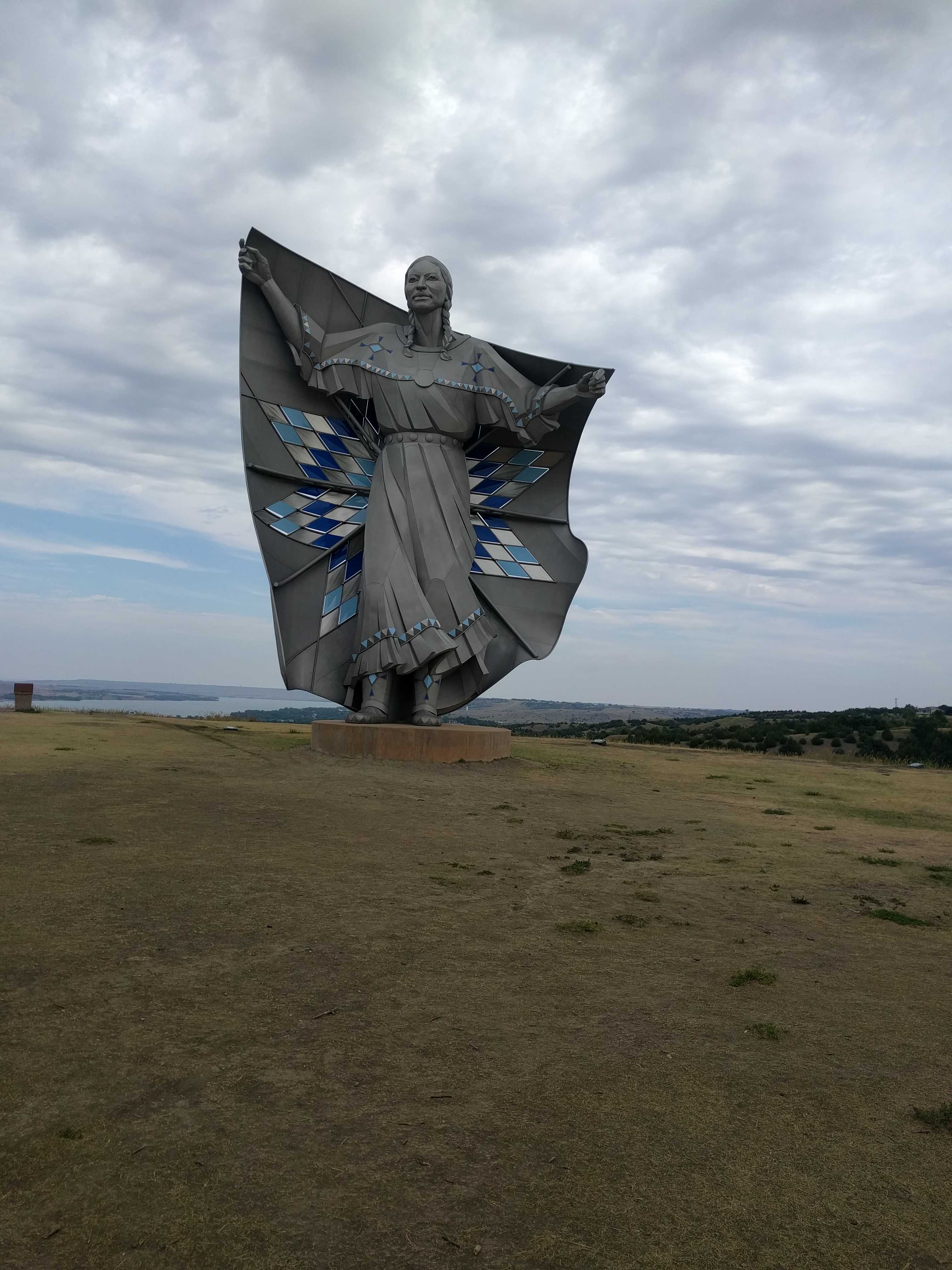 The second stop was at the Missouri River crossing rest stop. Pretty nice spot with a nice view. It appears to be where Lewis and Clark crossed it as there was a blurb about that and a very large statue of Sacajawea.