We drove another 300+ miles today and arrived at Robert Moses State Park on the St Lawrence River around 4pm EDT.
Kathy asked me to figure out how many miles we had driven so far on this trip. It was 5,245 miles as of Robert Moses State Park campsite, we are here till Sunday, and that doesn’t count the miles we have driven in the car sightseeing. And I just calculated we have driven it 7,875 miles since we bought it in January. We drove about 1,500 miles on our 4-week shakedown cruise around California back in April.
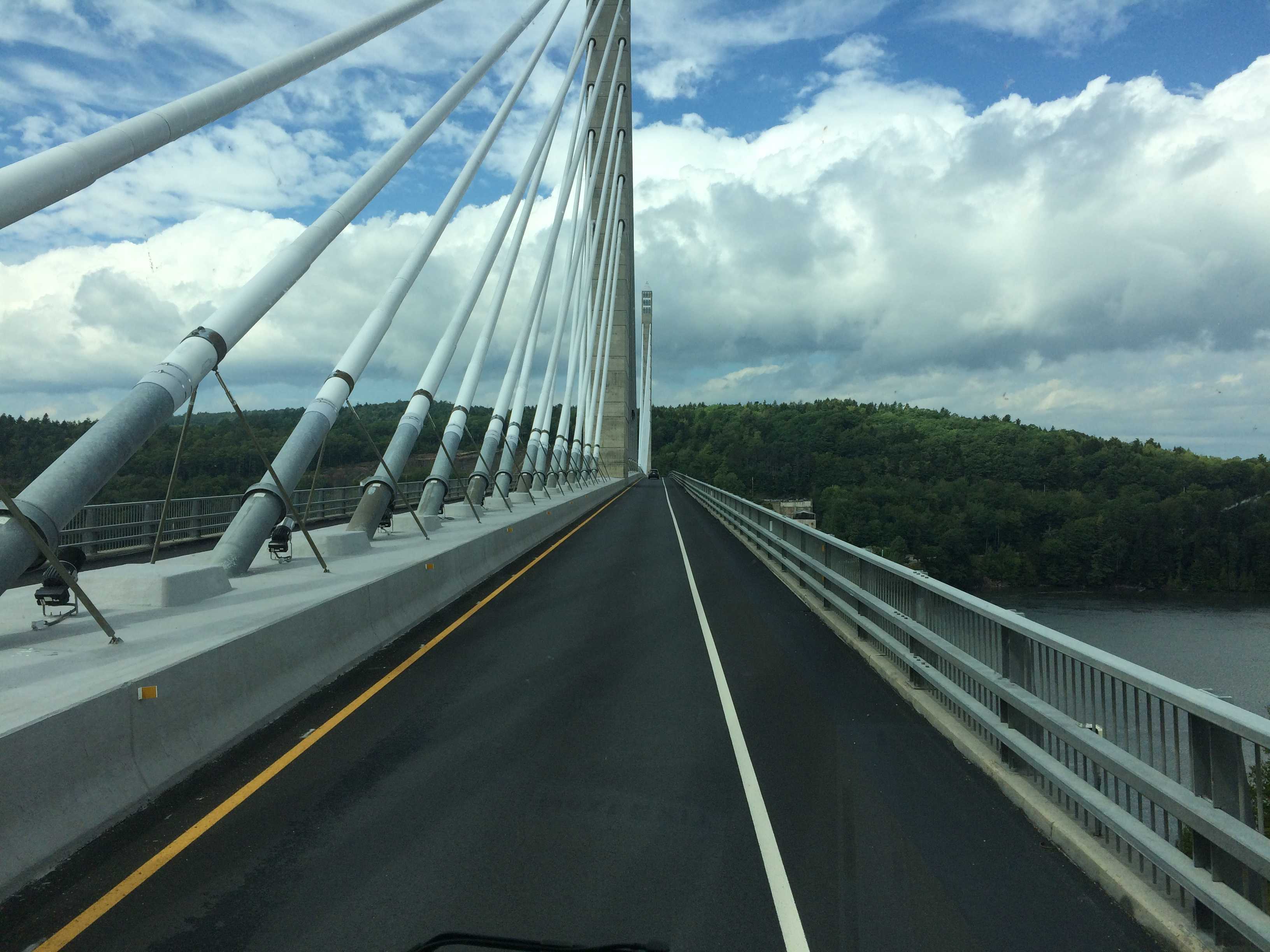
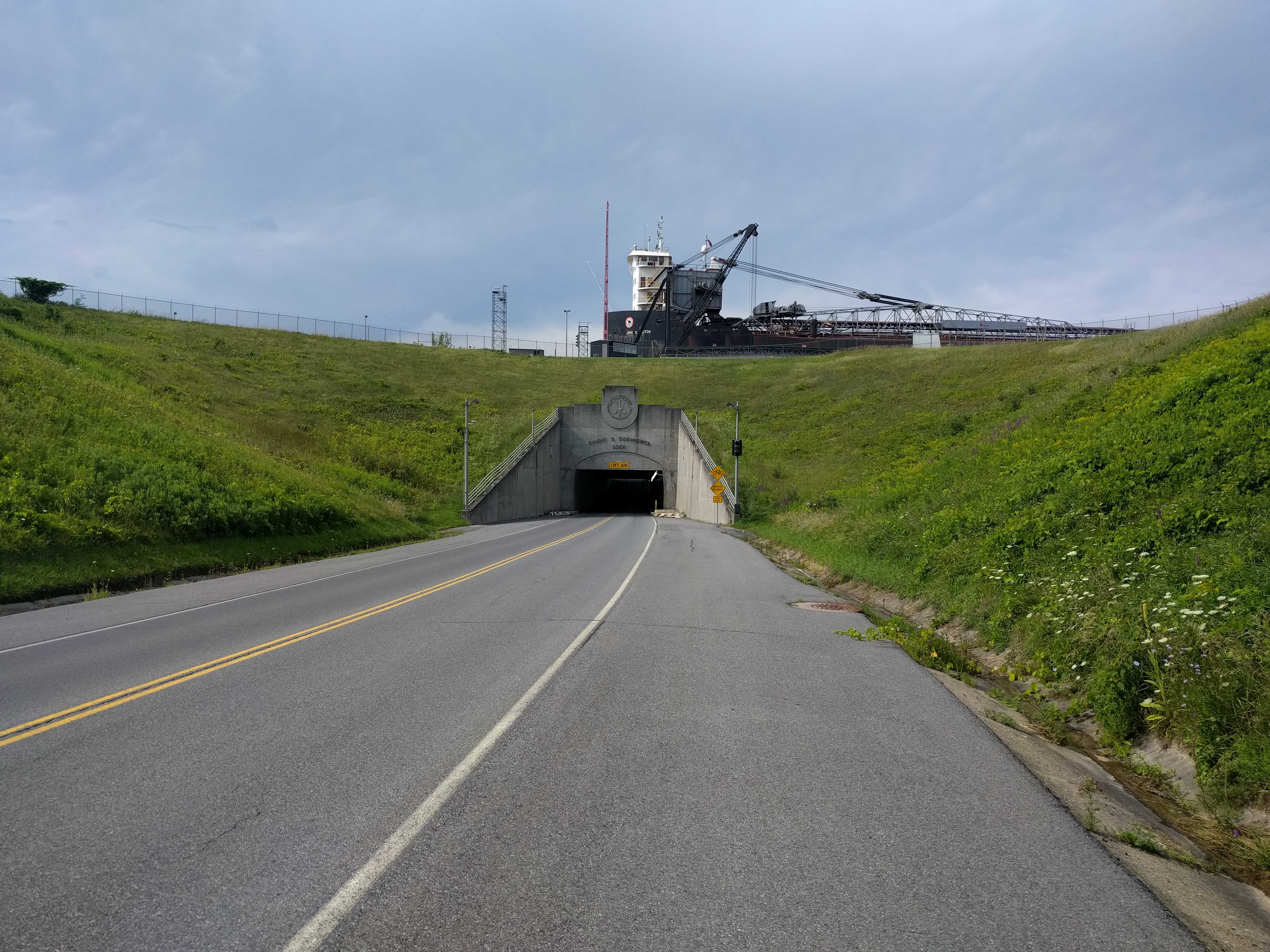
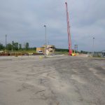
We had to drive thru a tunnel that goes under the Eisenhower Lock that was marked at 13’6″. Tunnels are always an E-ticket ride in this very wide (8’6″) and tall (12’7″) vehicle. I think the tunnel must have been a bit taller than written up as none of the antennas hit, which when they do hit something, it’s a real attention grabber. And it was also a surprise tunnel as the app I use to look for low bridges and tunnels did not show it. I sent the developer a message with the coordinates so it could be added ASAP.
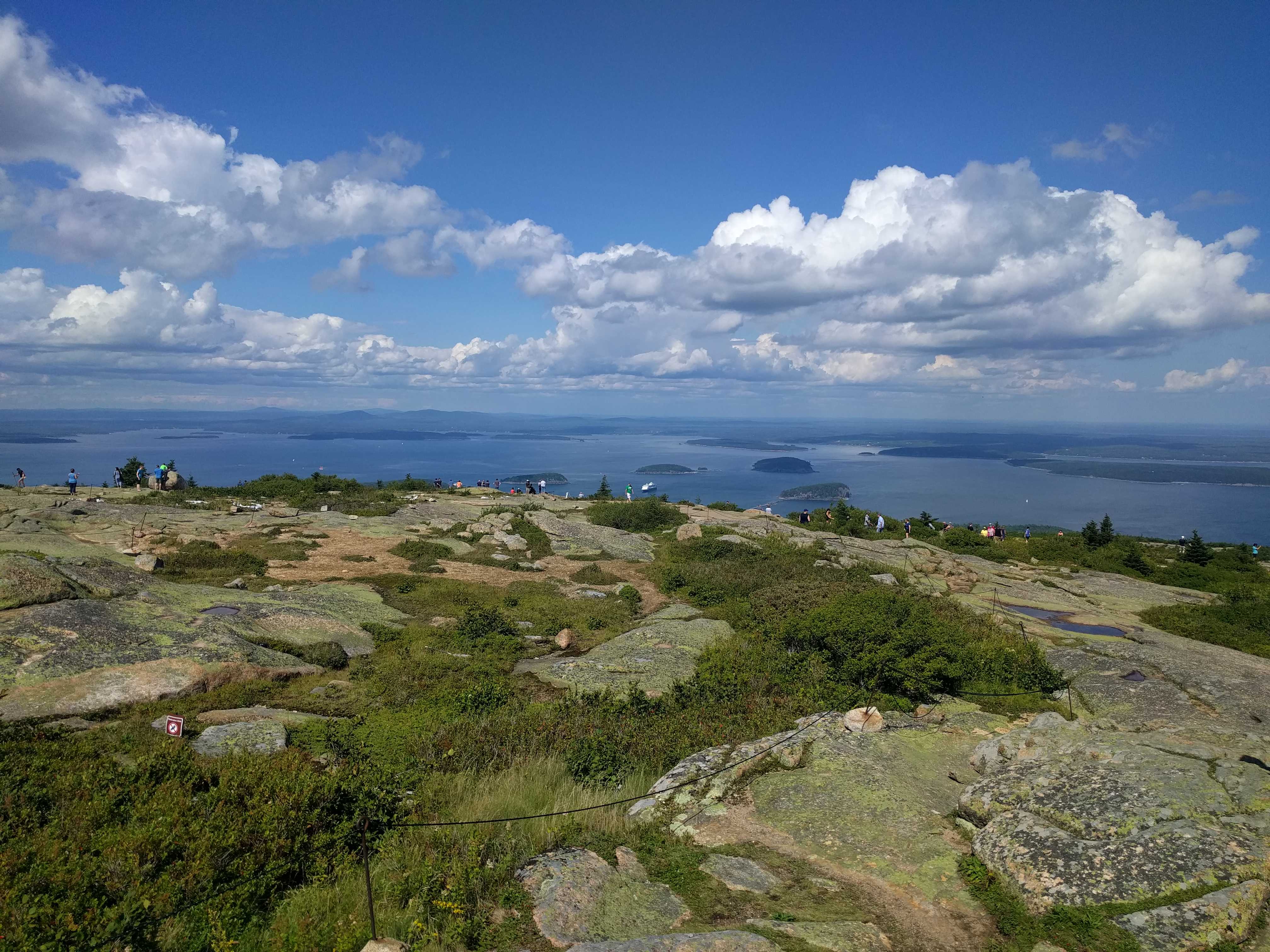
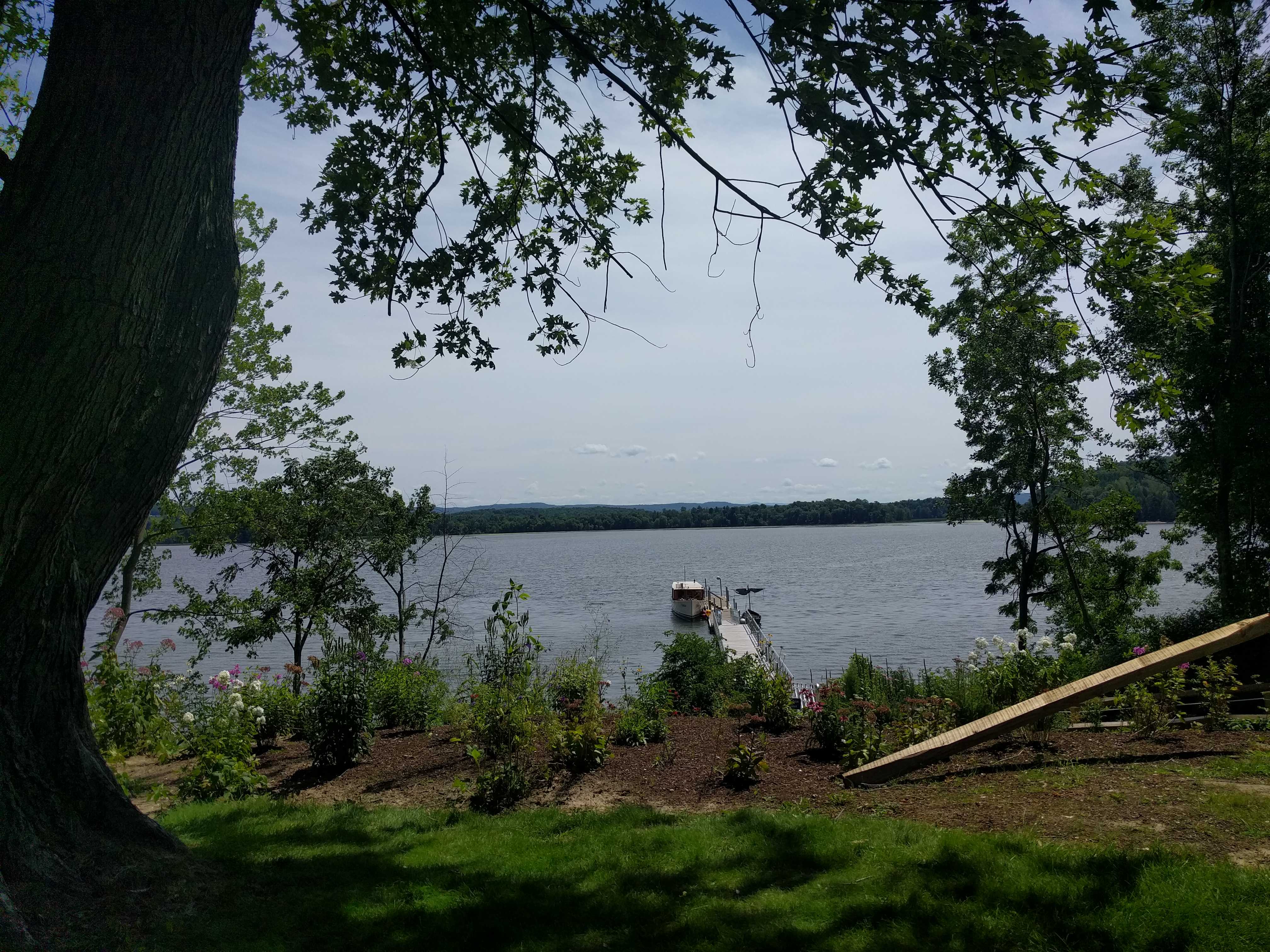
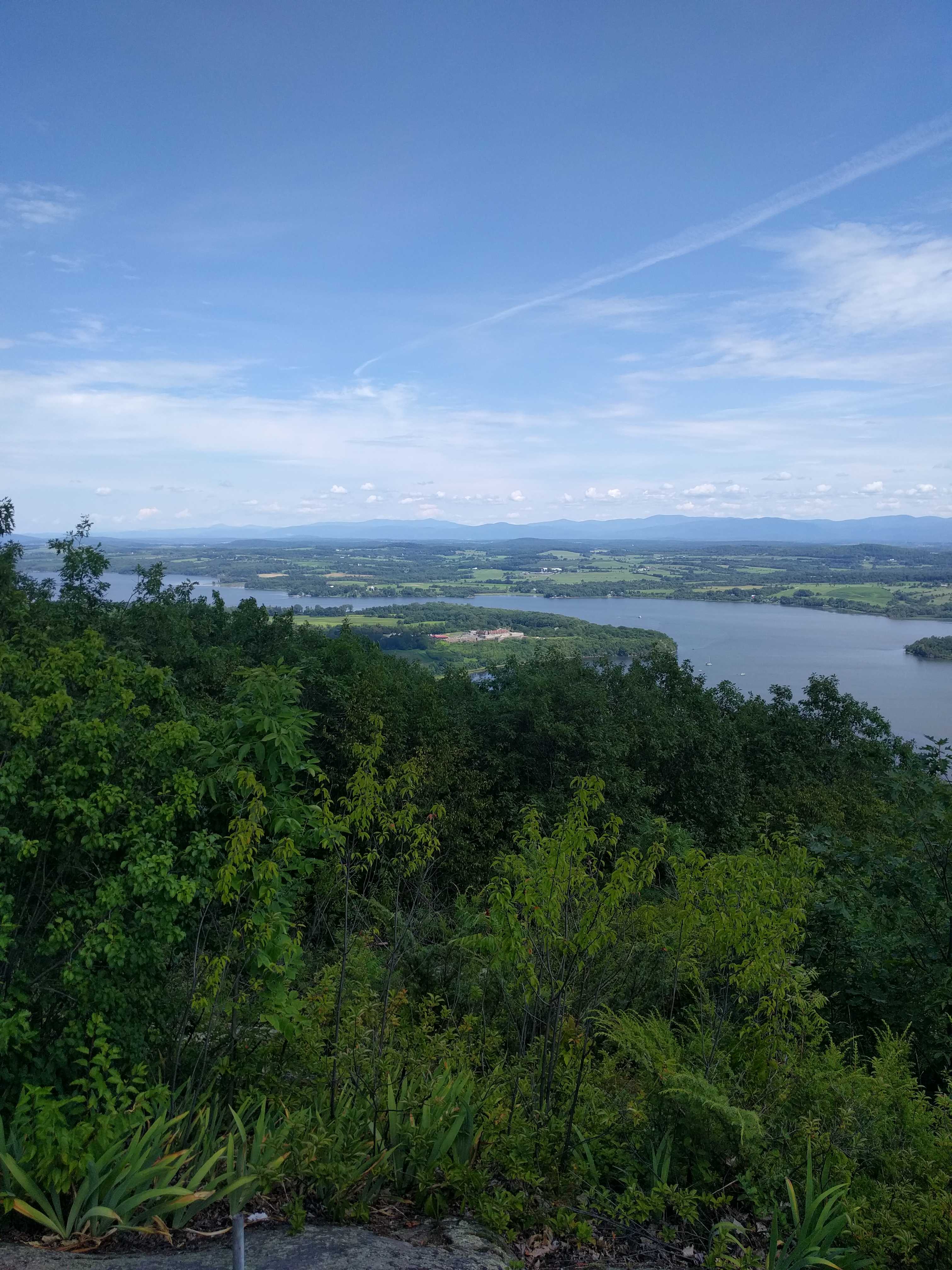
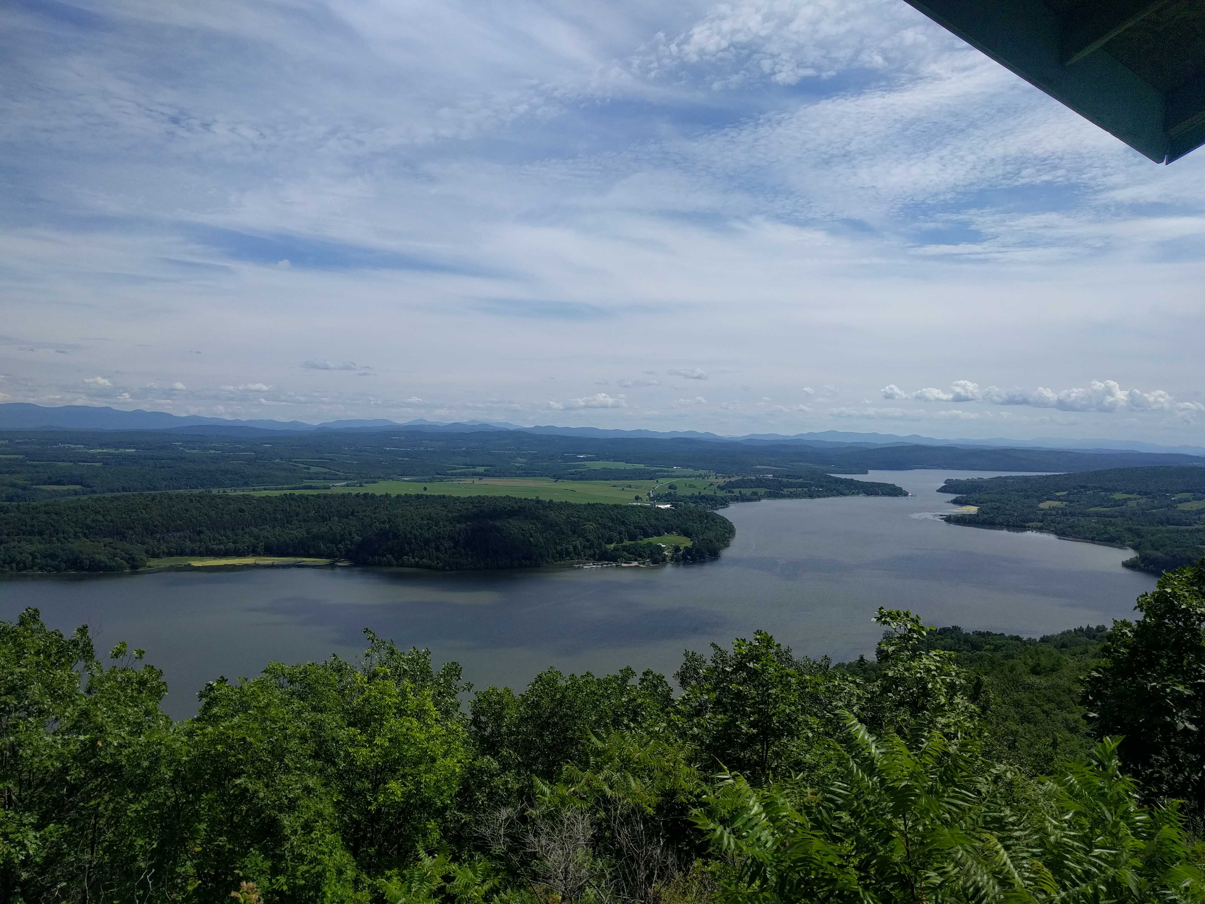
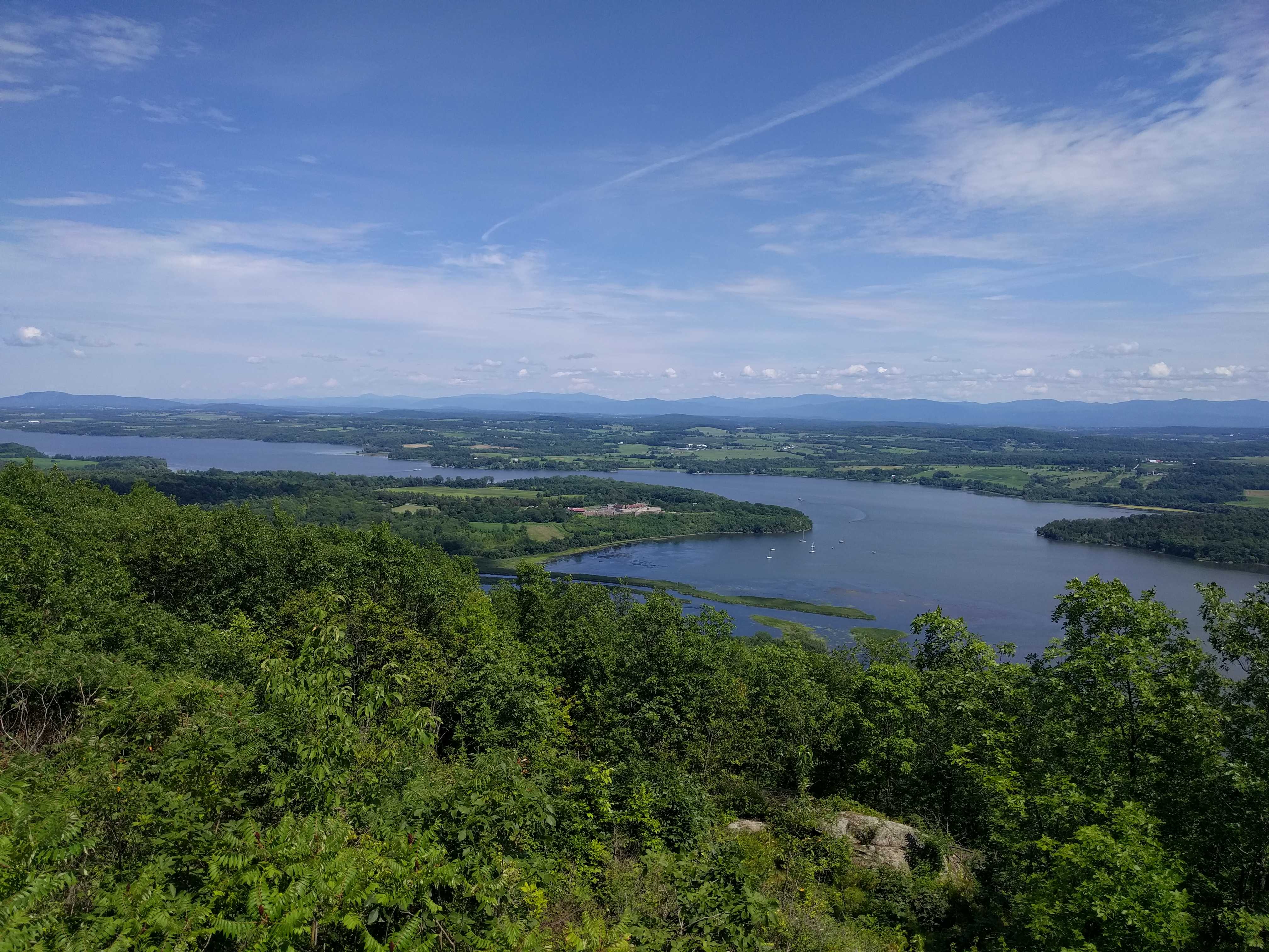
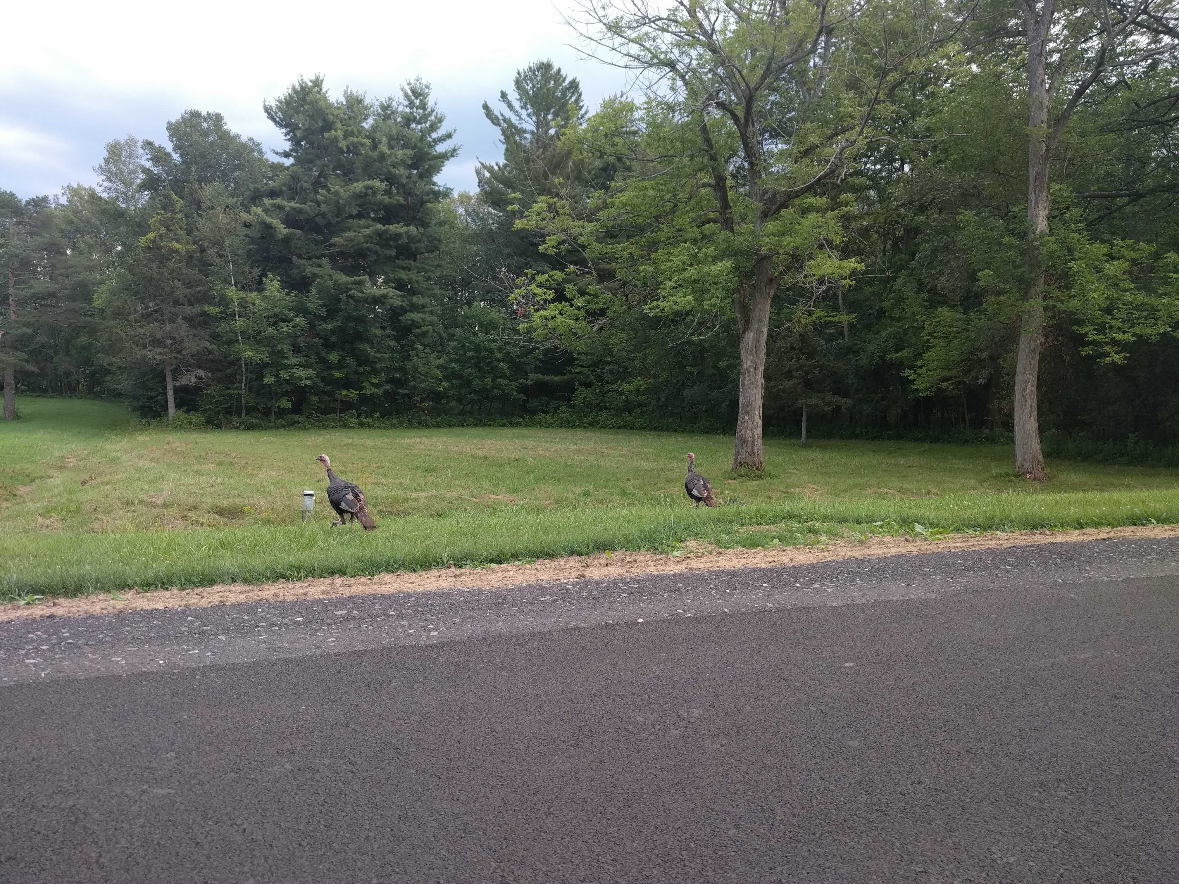
I know that it surprised another camper because when I was unhitching the car last night to back the coach into our spot, a guy walked up and asked me if I had gone thru the tunnel. I guess he thought there might be another way in… I told him I had, and he asked how tall the coach was. I told him it was 11 inches less than it said the tunnel was. He mentioned his 5th wheel trailer was 13’6″…. That would be a dilemma to me.. But my guess is that sign means you can fit a 13’6″ vehicle thru it. Not sure what he concluded.. I haven’t seen him in here again, but it’s a very large campground. This is a beautiful park right on the river. On our walks last night some of it looks like a well kept up golf course!
We drove around the park on Thursday afternoon. It’s a big place indeed. There is a beach and marina in one area, then we drove out to what appeared to be a curved bridge only to find out it’s a large dam. I remember seeing a lot of power lines off in the distance on the way in yesterday, but they were not around this dam, so it’s not generating power. Unfortunately there was a gate preventing us from driving on the dam, so we turned around and went east on the road only to find another much larger dam where all the electric lines started… It was also blocked off, so we headed over to the Eisenhower Lock as I could see there was a ship coming down the river on the marine traffic app.
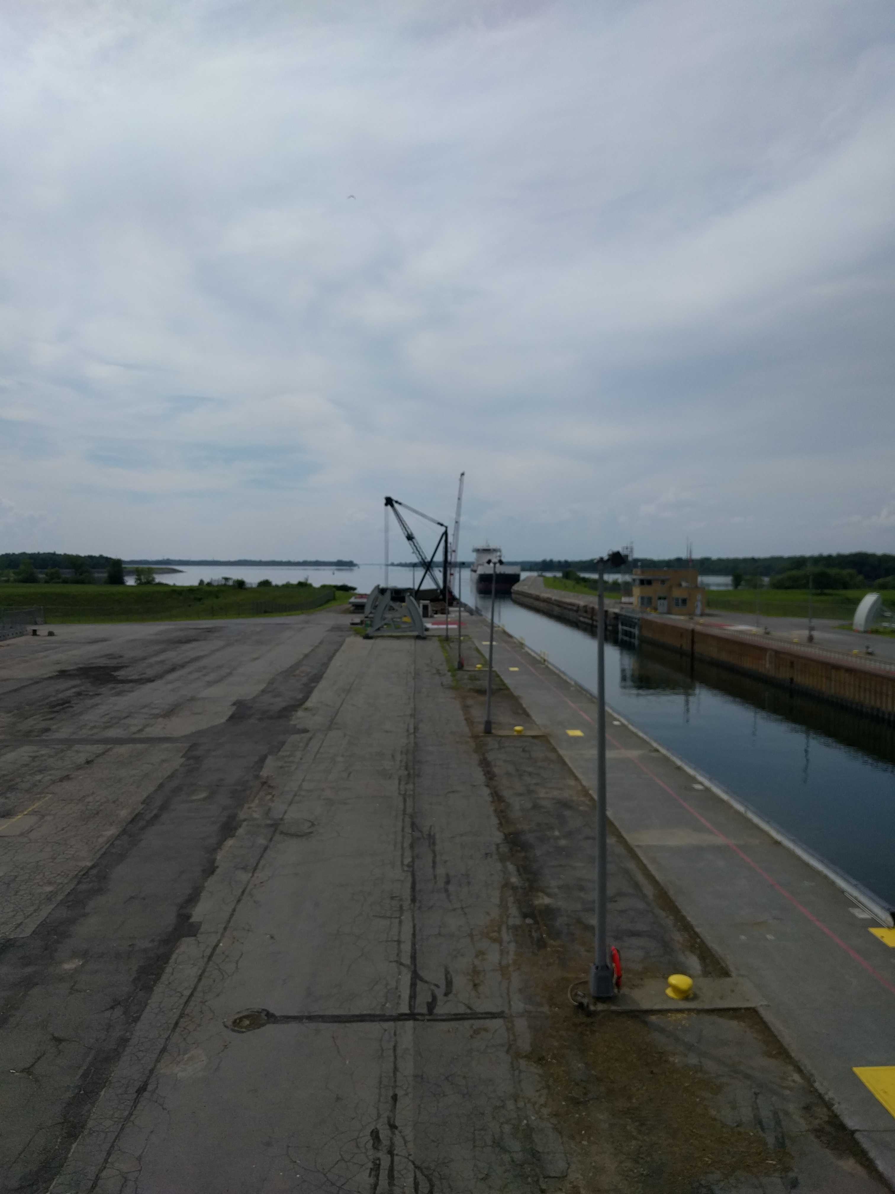
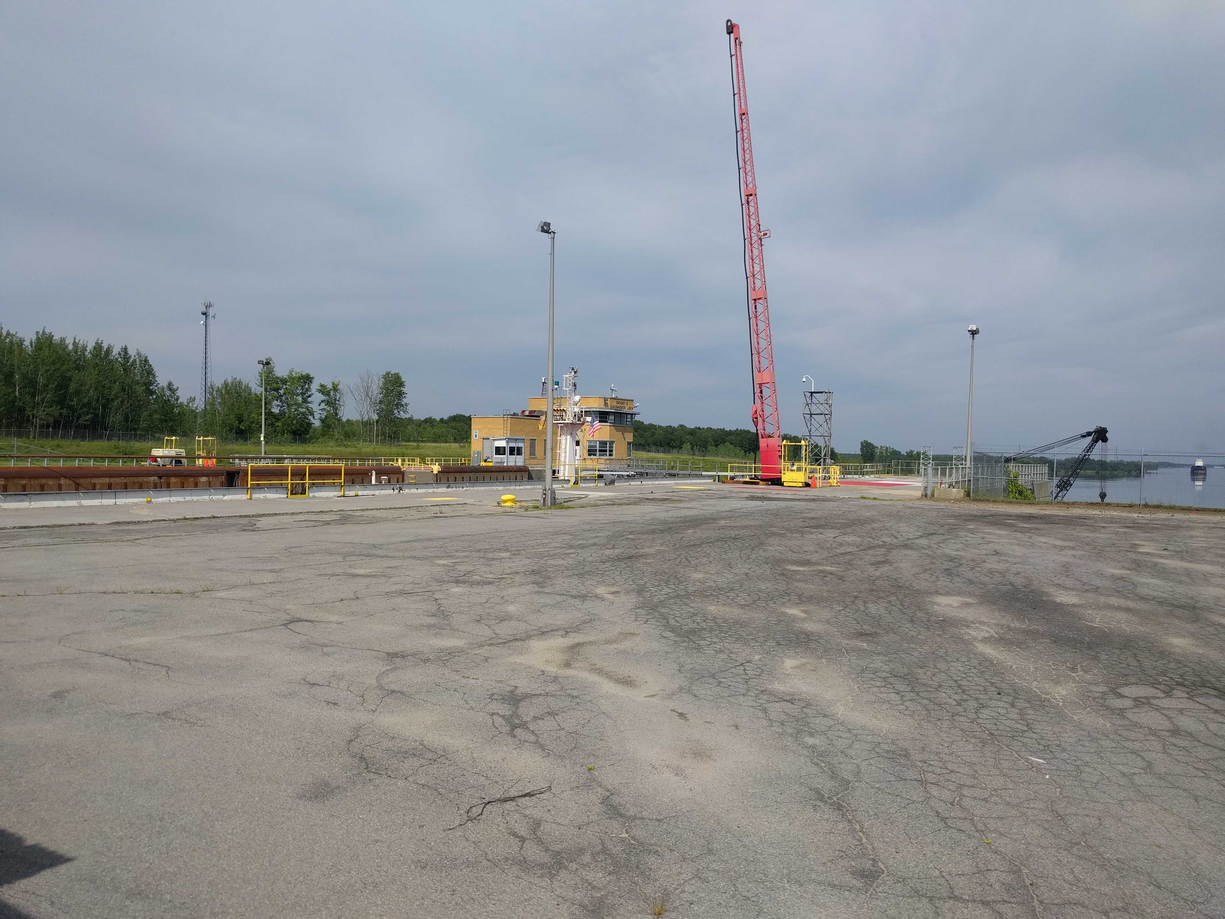
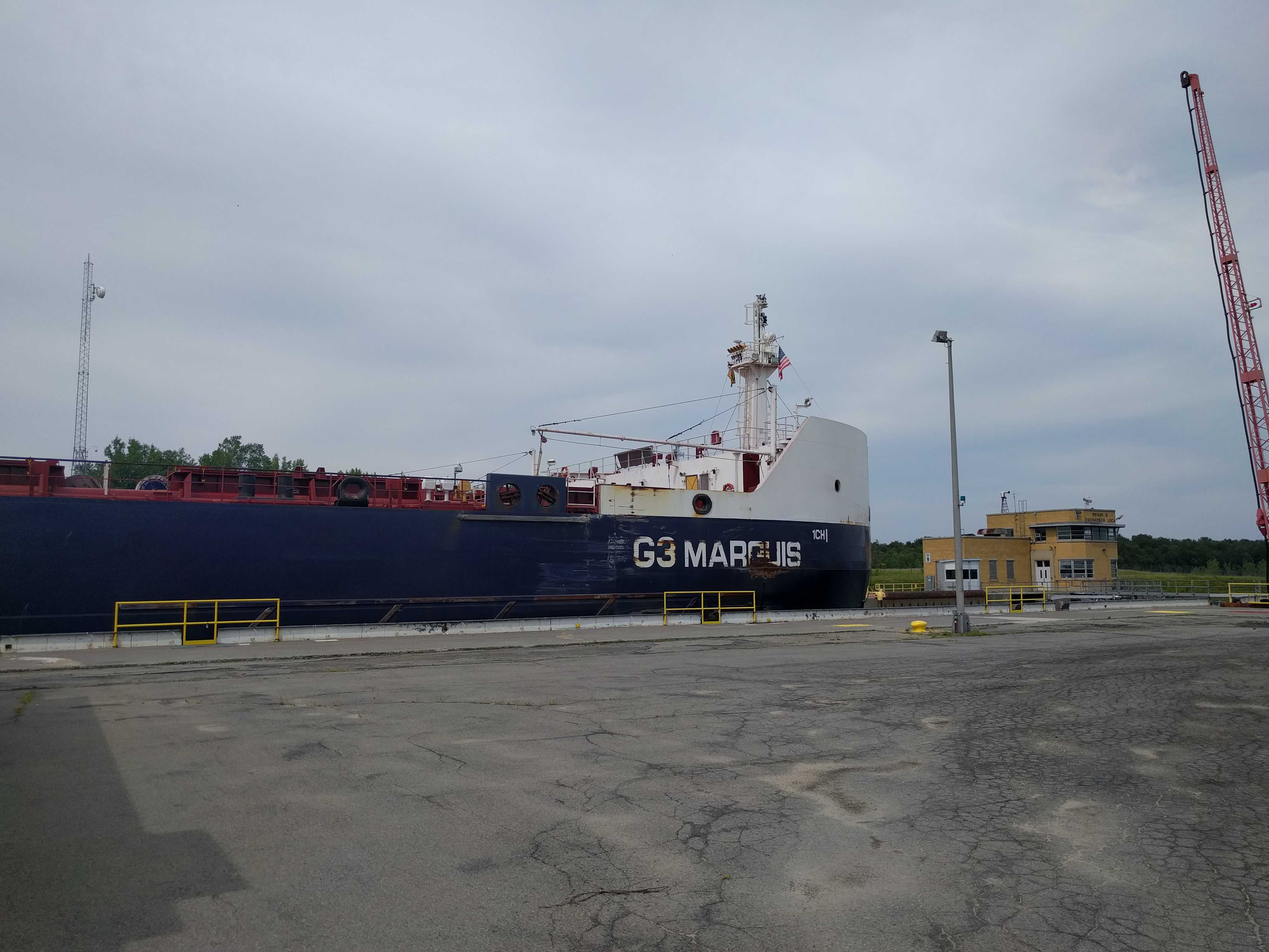
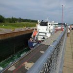
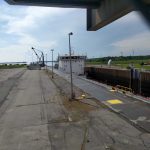
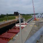
At the lock visitor center they have two levels of viewing decks above them, both with lots of chain link fence, presumably for security. It’s really just to prevent you from taking good pictures. It’s incredible that the government thinks that chain link gives them any security. 100 feet from the viewing deck is a tunnel that goes right under the lock. Need I say more?
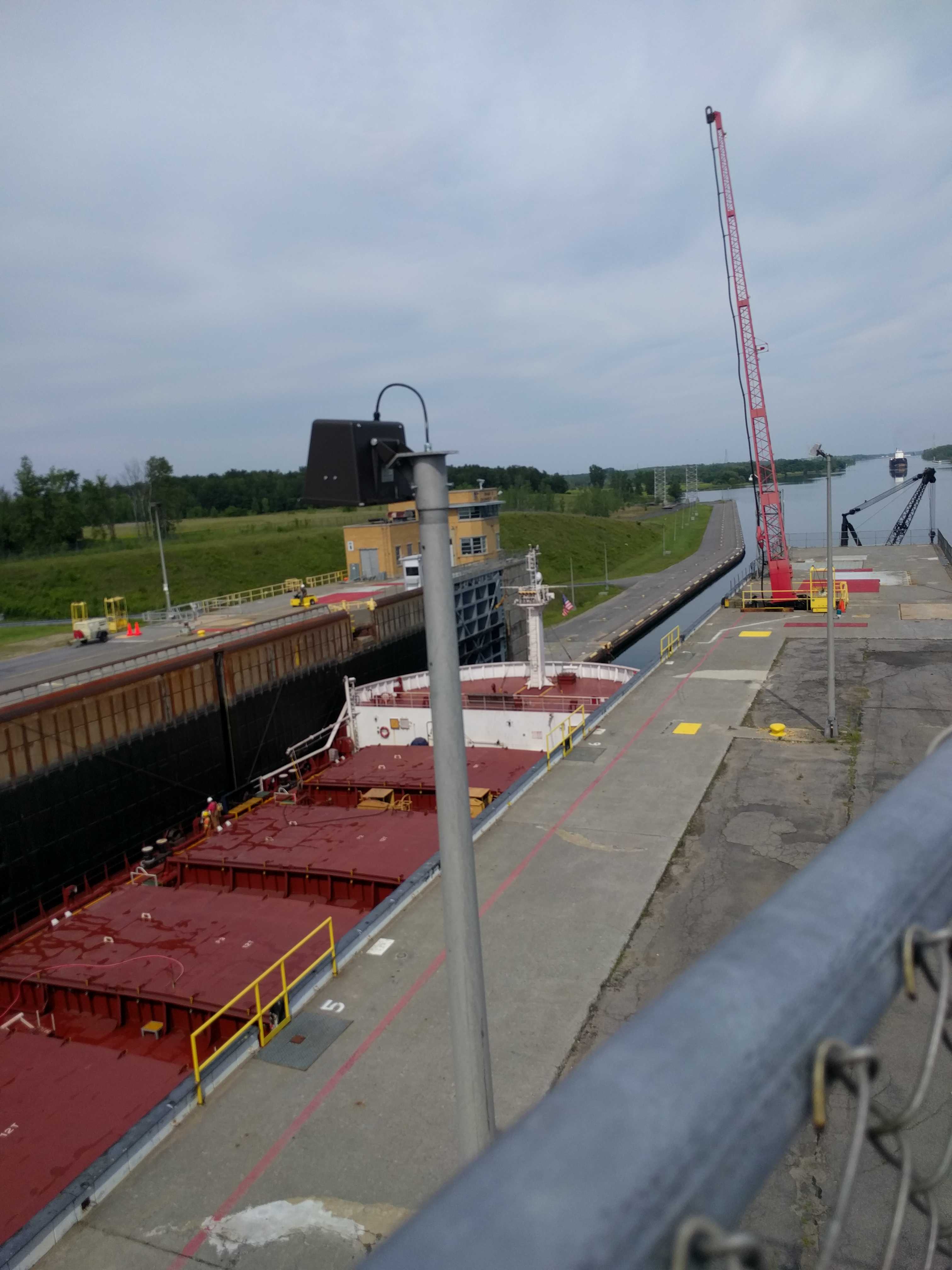
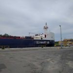
It’s very cool to watch the ship go thru the process. But the odd part in the 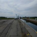 beginning was the ship drove over to one side of the entrance and appeared to be using the braille method to get into the lock. The ship was two feet narrower than the lock itself, so it was slow going, almost imperceptible movement till it got further into the lock. Then it started moving a bit quicker so you didn’t have to focus on a spot for a while just so you could tell it was moving.
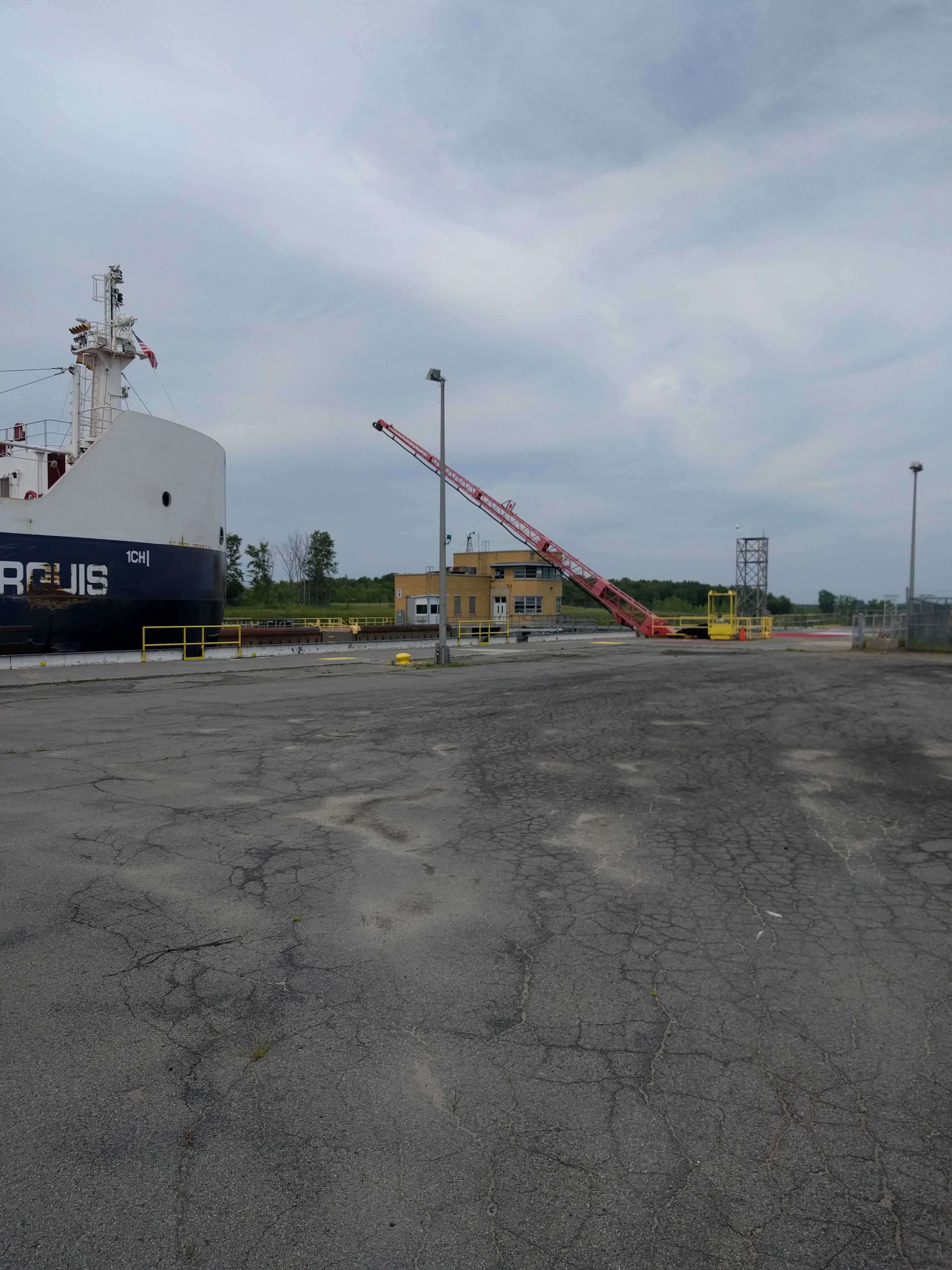
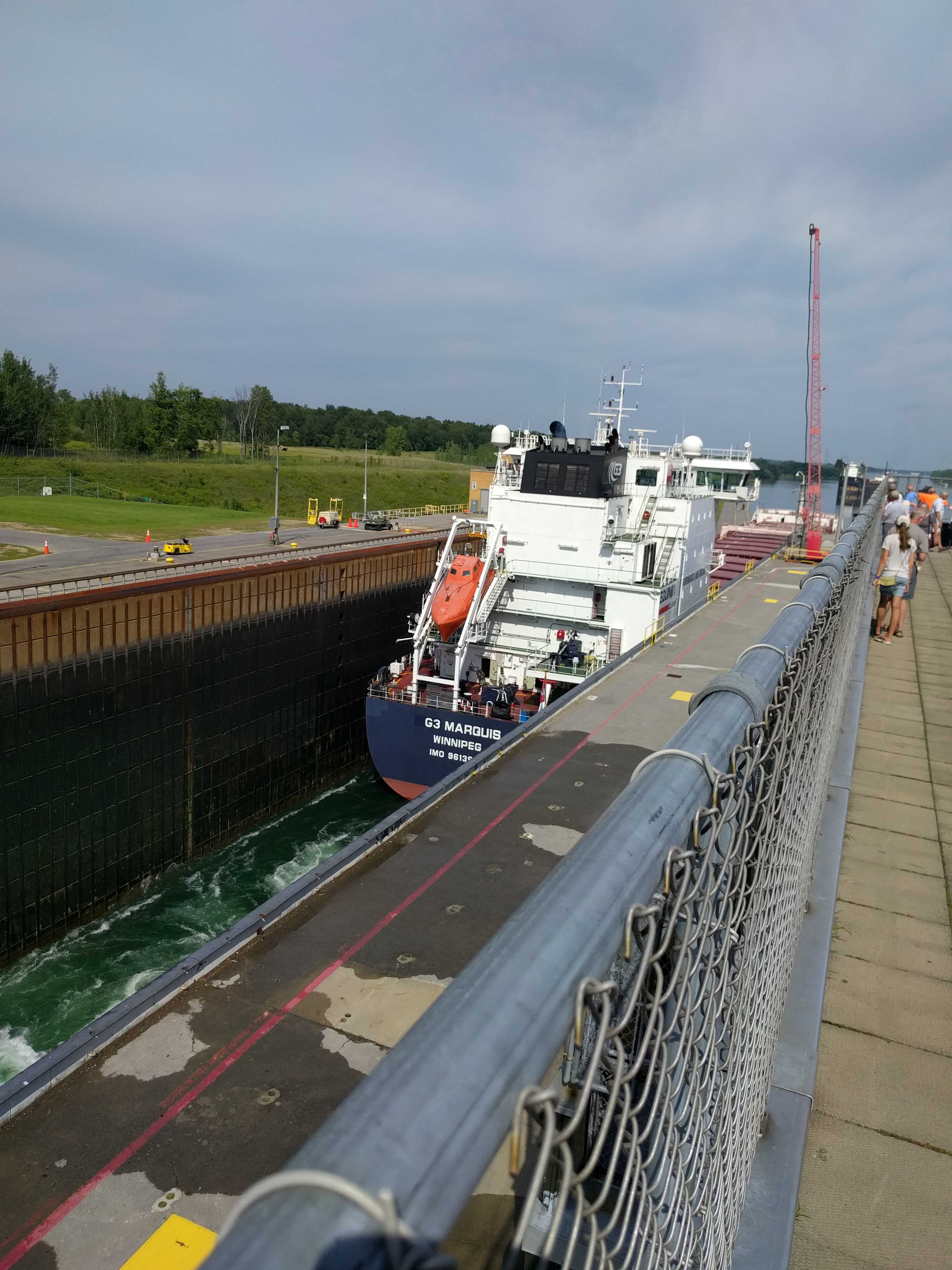
It literally crept into the lock, taking a lot longer than I imagined it would. I didn’t time it, but I seemed like 30+ minutes to get fully up to the forward lock 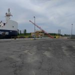 doors. There was a large red gate with a thick cable that looked like it was locked in place on the opposite side to prevent the ship from hitting the lock doors. I bet that would be a wild ride if they did as the water on the downstream side is 42′ lower, although it didn’t appear to be that much lower to me. They had to open that gate so the ship can inch forward to the lock doors as they cannot close the rear lock doors till it’s within a couple of feet of those front doors. I guess they didn’t expect the ships to get that large back in the ’50s when it was built or they would have put that gate much closer to the lock doors.
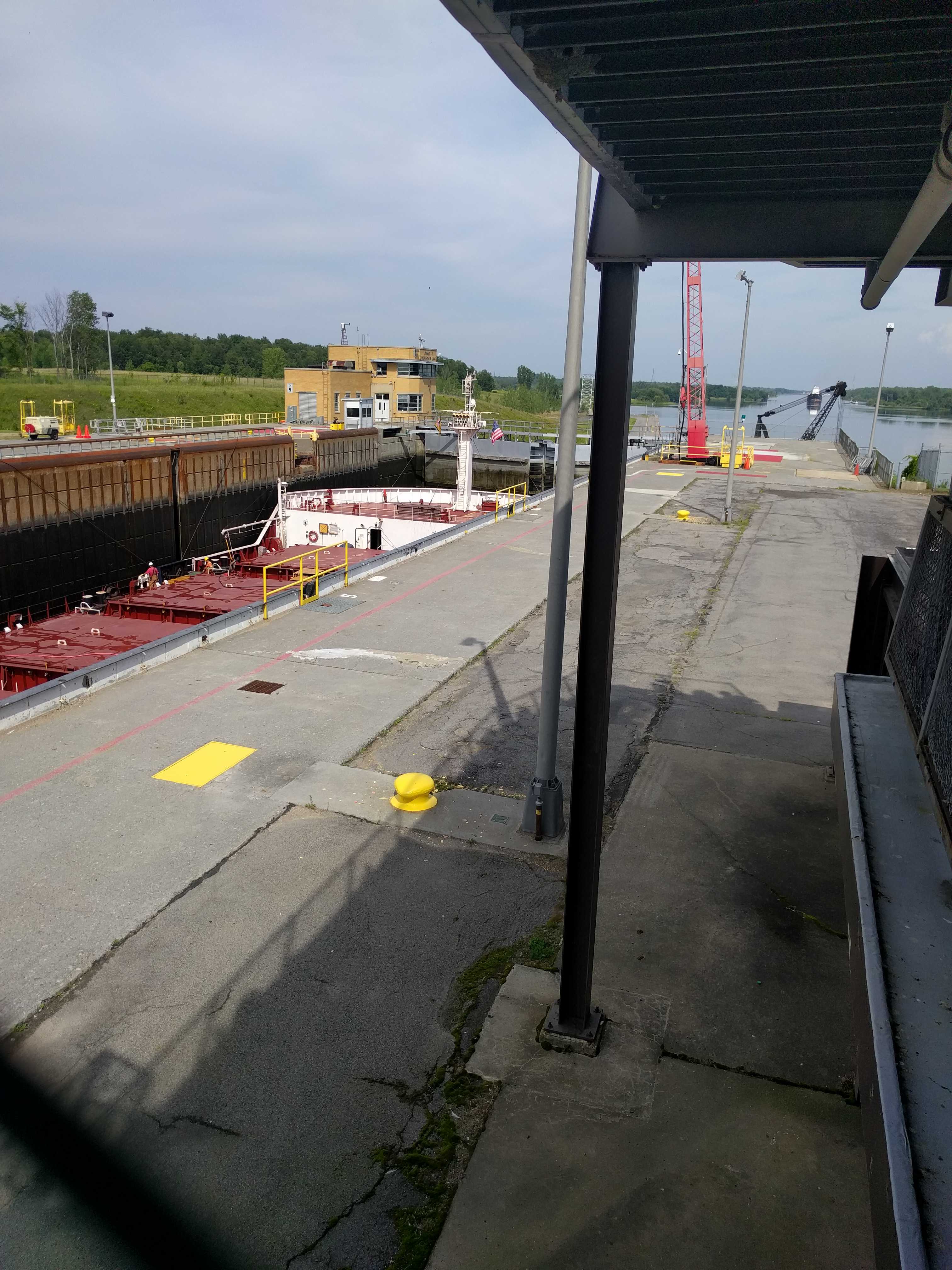
Once they were finally in and the back doors were closed, the lock crew just popped the stopper so the ship would drop to the lower level. That took all of five or ten minutes and then front doors opened, some lines were winched back onto the ship, and they were off, just in time for the next ship coming up river to get into the lock. You can see it sitting right outside the lock in the pic of this ship heading out.
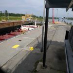
We didn’t stick around to watch the second ship as the part where they inch their way in was akin to watching grass grow. We headed out to see the local town of Massena, NY. There was a mall not very far from the park, so we headed there first. It was a ghost town. Huge mall, most of the stores looked boarded up. Maybe this was a poor spot to put a mall. Seemed like the middle of nowhere to me. Then we drove into the little village. It appeared to be a sleepy place. Not much going on during a Thursday afternoon.
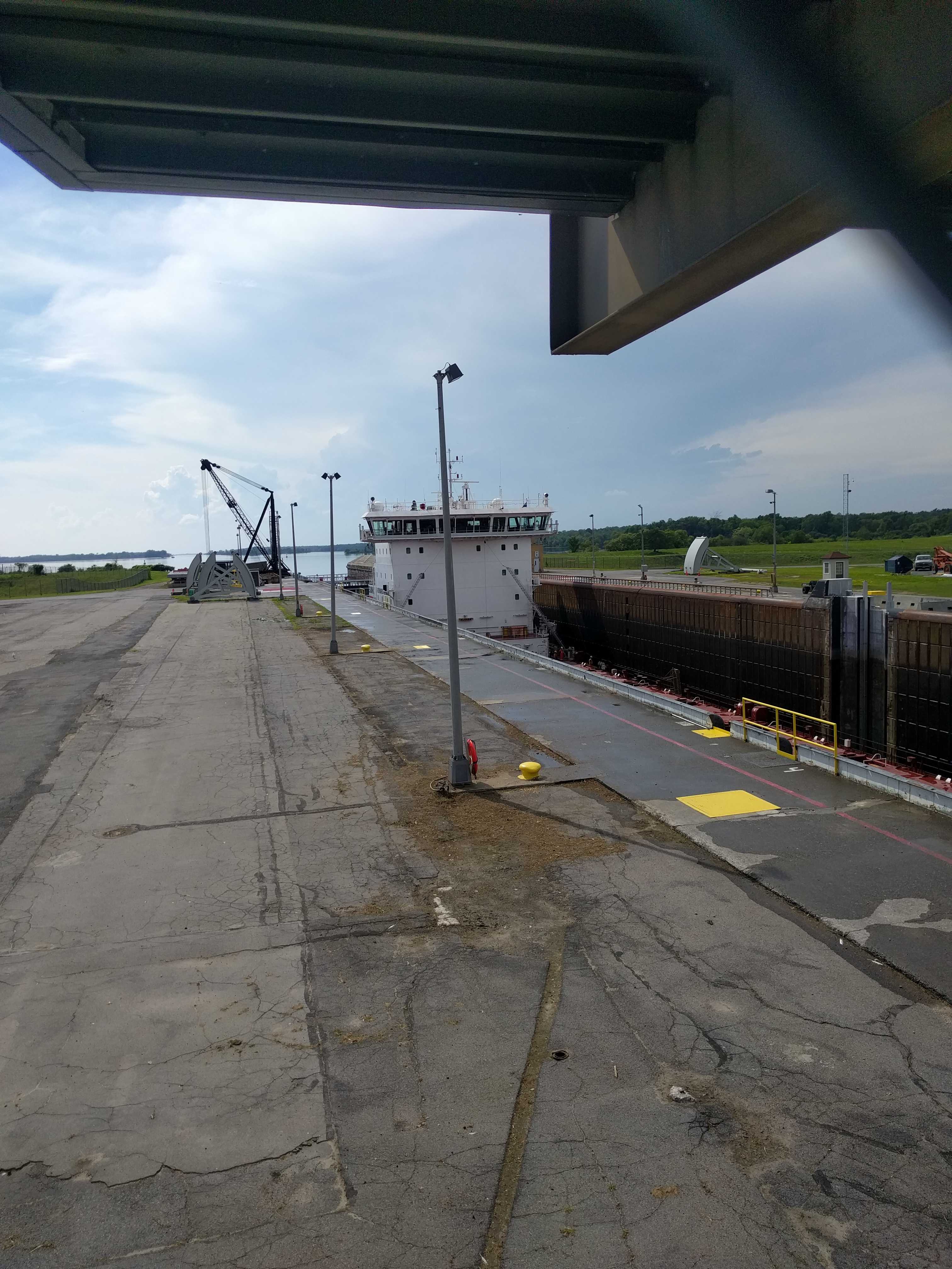
On the 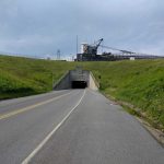 way back to the campground, I stopped for a pic of that second ship traversing the roadway above the tunnel. It always amazes me when I see big ships above me, like when I was in the garden district of New Orleans and saw a large ship steaming up the Mississippi River many years ago.

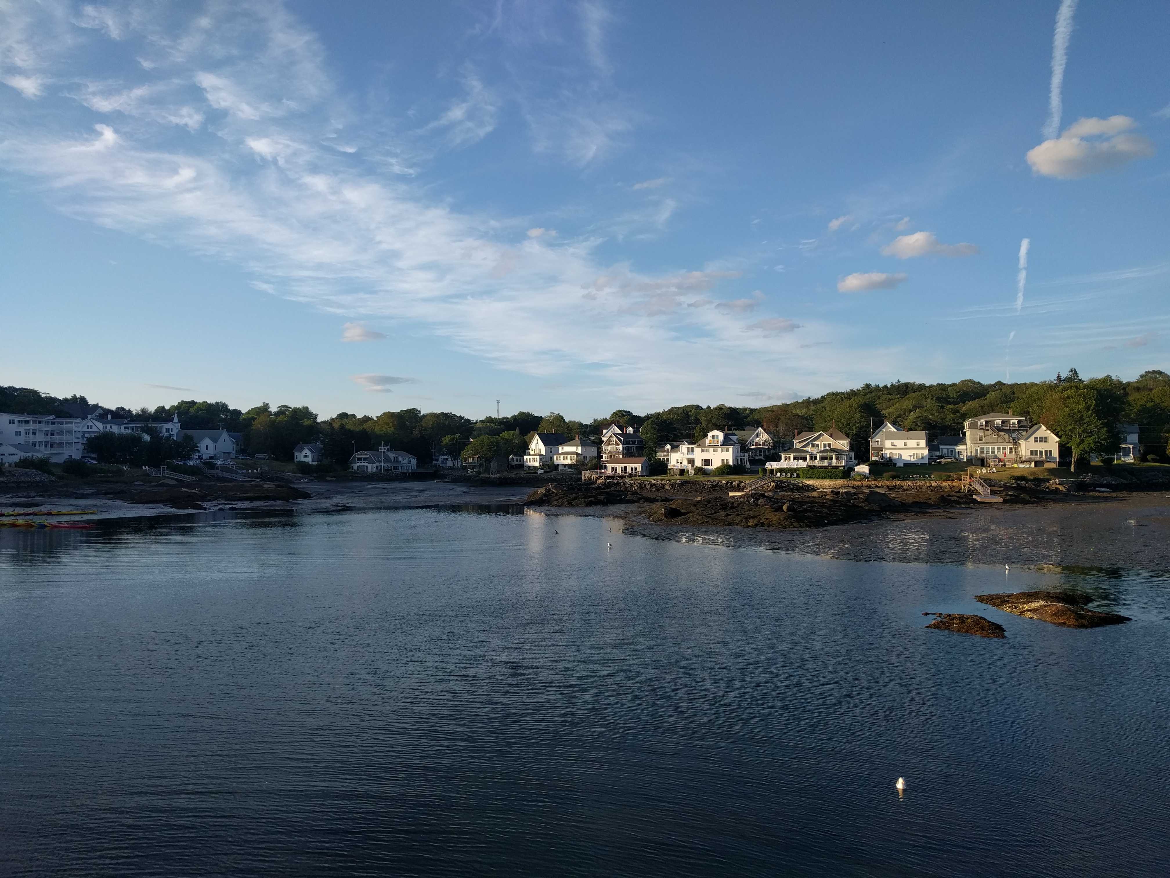
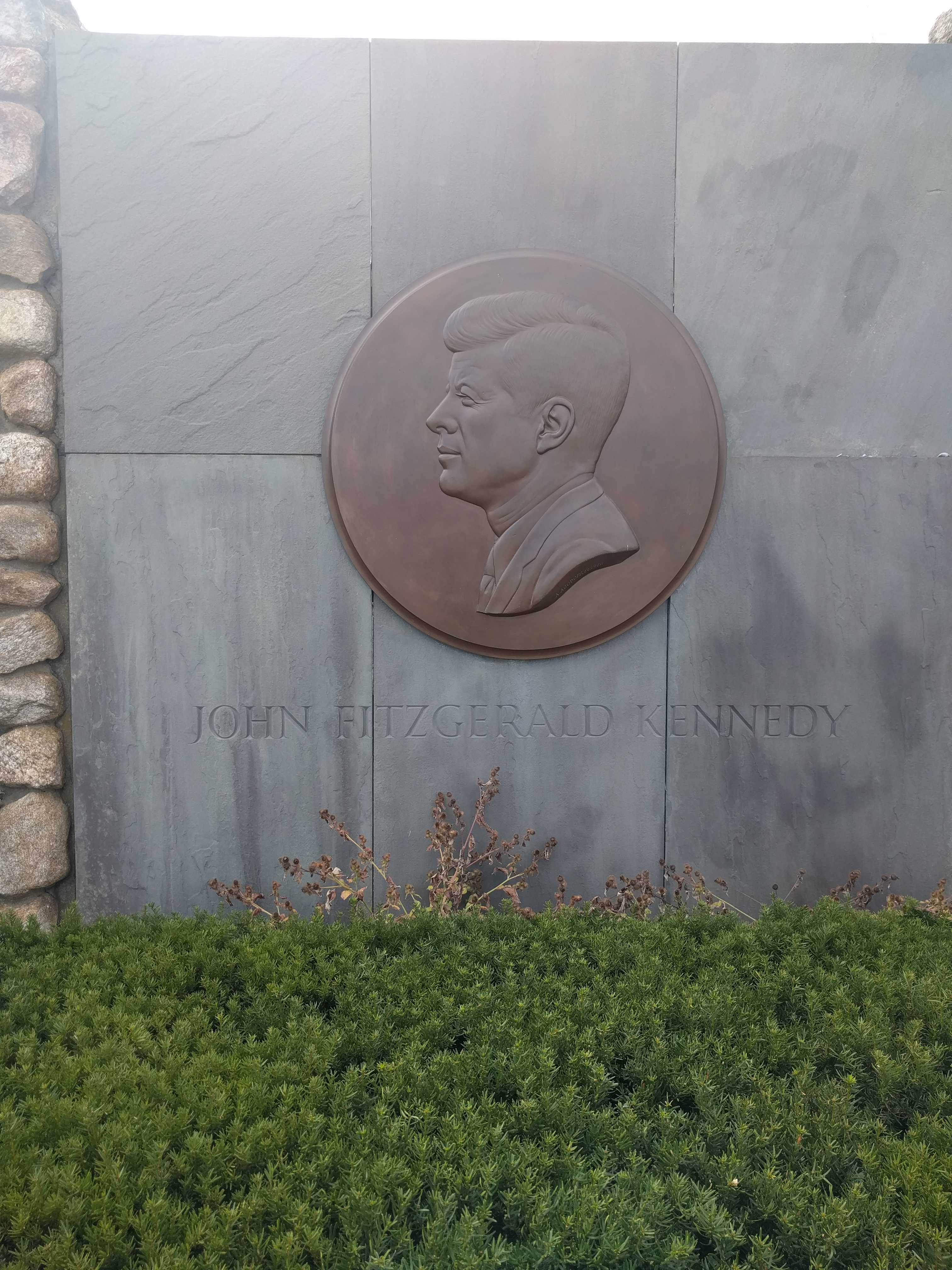
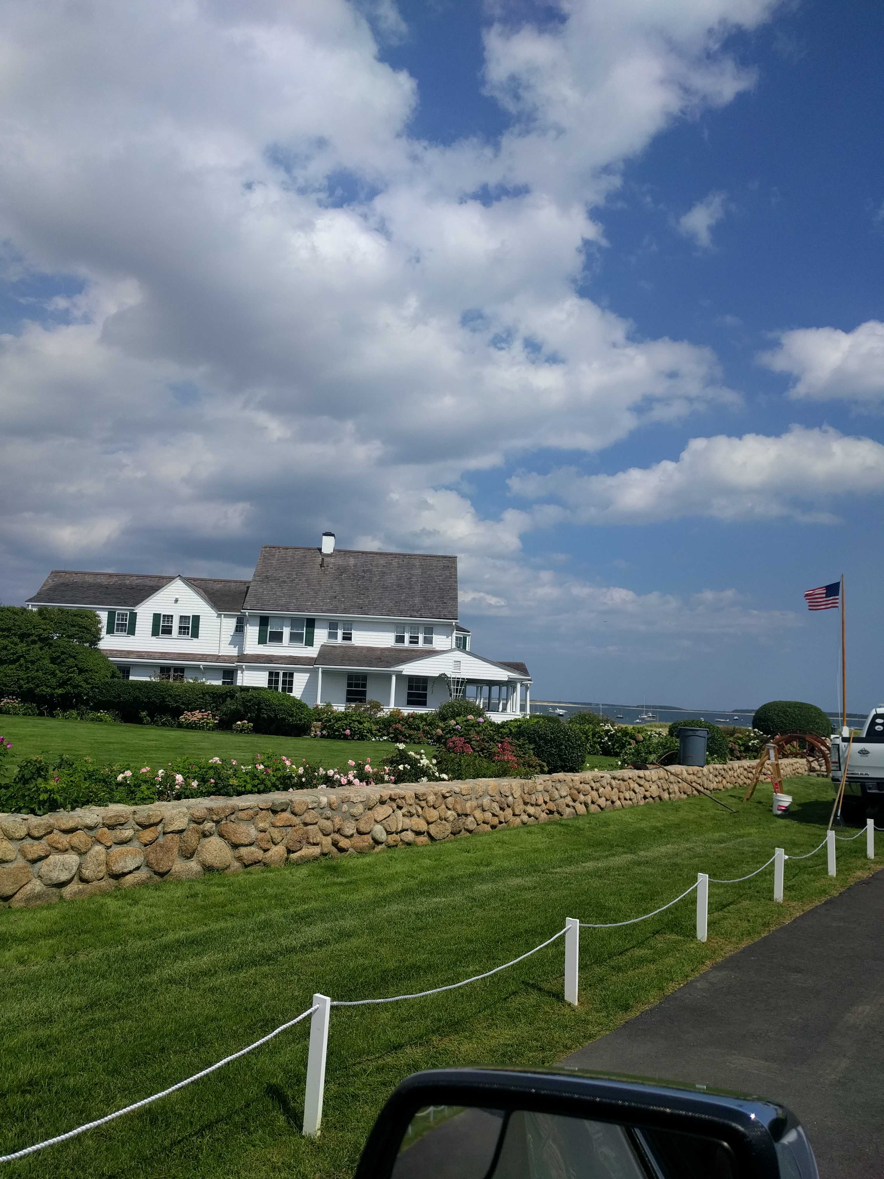 We drove down to Hyannis Port looking for Camelot, and after some wrong turns I pulled over and looked at the map. Then we headed over to the correct spot. It’s pretty well hidden from the regular roads, but there wasn’t a gate on the private road till it was way back on their property, which was very close to the house. I drove down it with Kathy telling me not to, but I had come so far I wanted to see it. For all I knew, the family didn’t even live there anymore. But as I got close, a man got out of a red Mercedes and motioned for me to clear the area. I snapped a couple of pics from what I presume is the back of the main house and then proceeded to back up the car on that narrow private road.
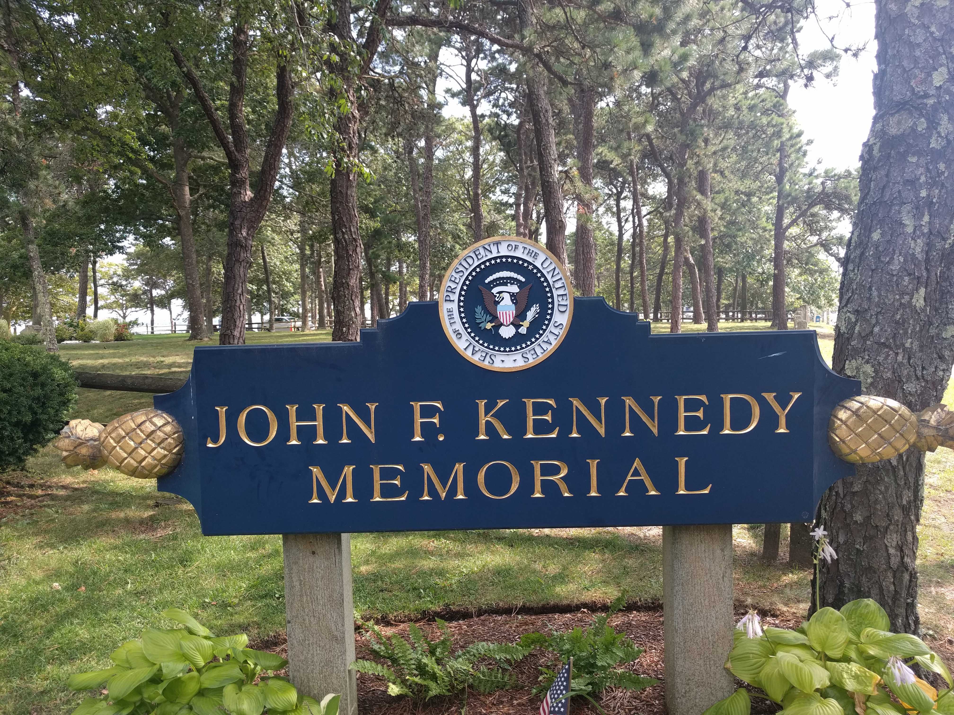 From there we needed to find a tree for the pups and headed over to a park in Hyannis Port. NO DOGS! They wanted $20 to park but didn’t allow dogs. The gal at the gate shack told us we would have to drive out of town to another park about 10 miles away. Kind of odd, but we listened and drove off. 100 yards further up the street was the JFK Memorial Park. The pups found their trees and all was well with the world again. We assumed it was our California plates that said we were foreigners…
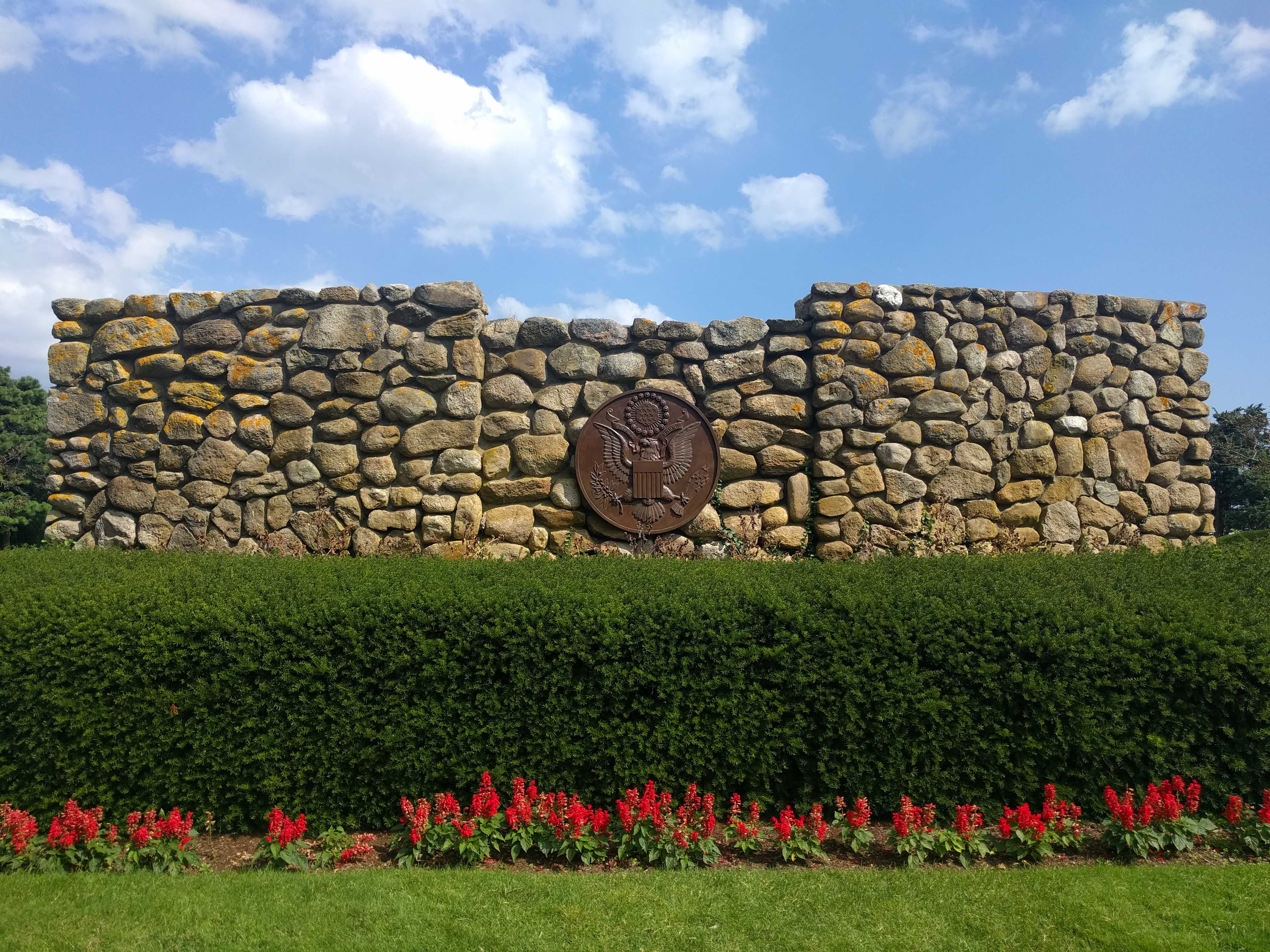
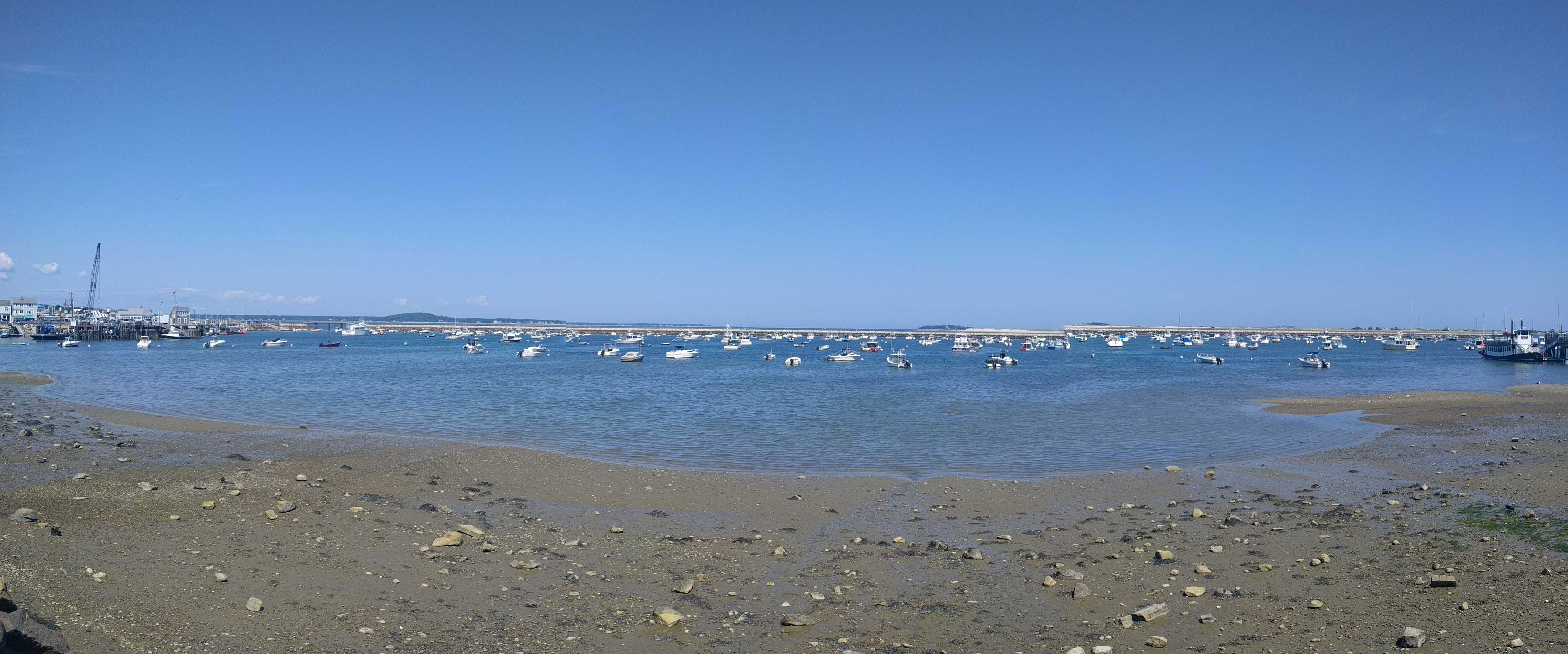
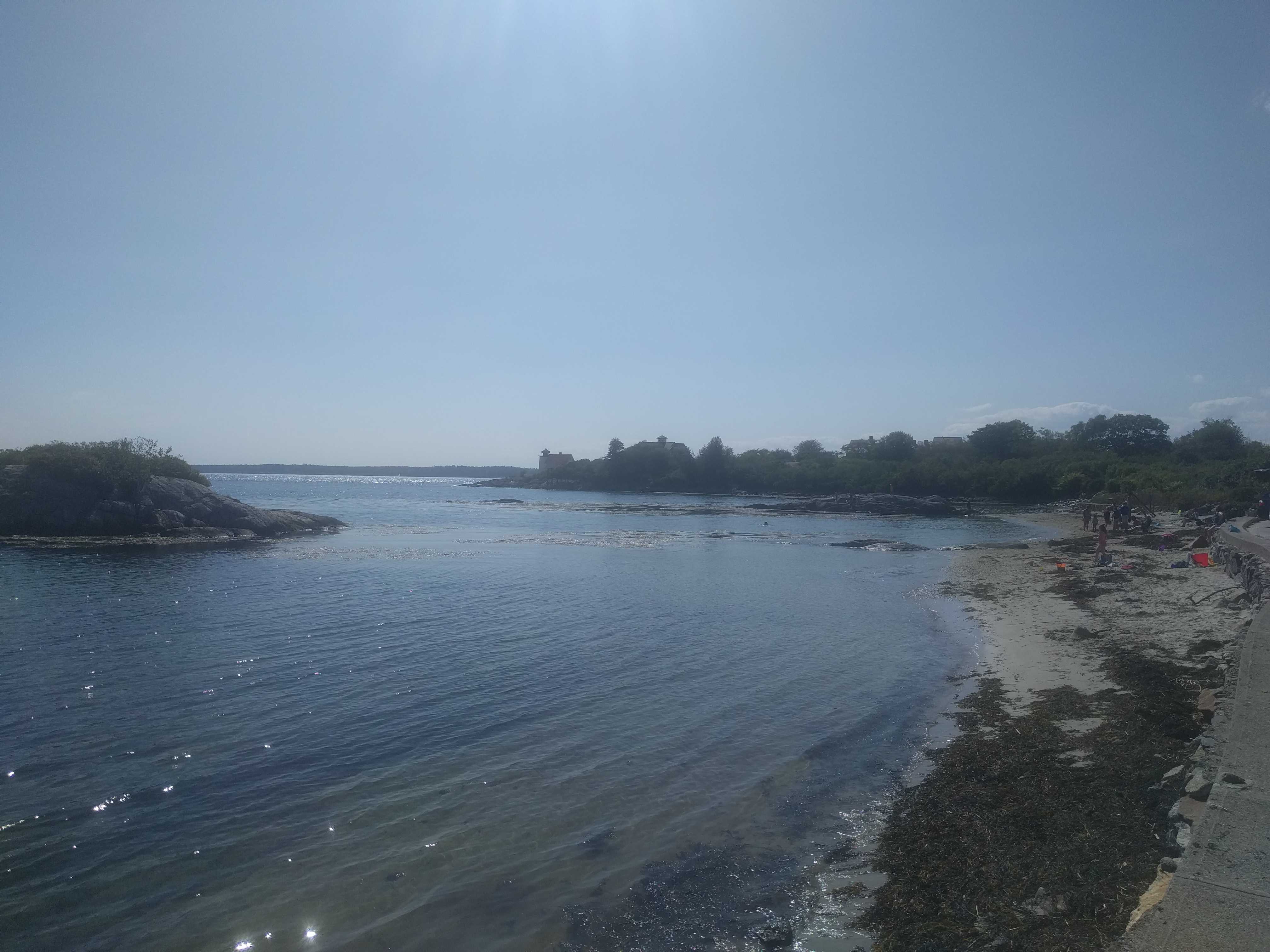
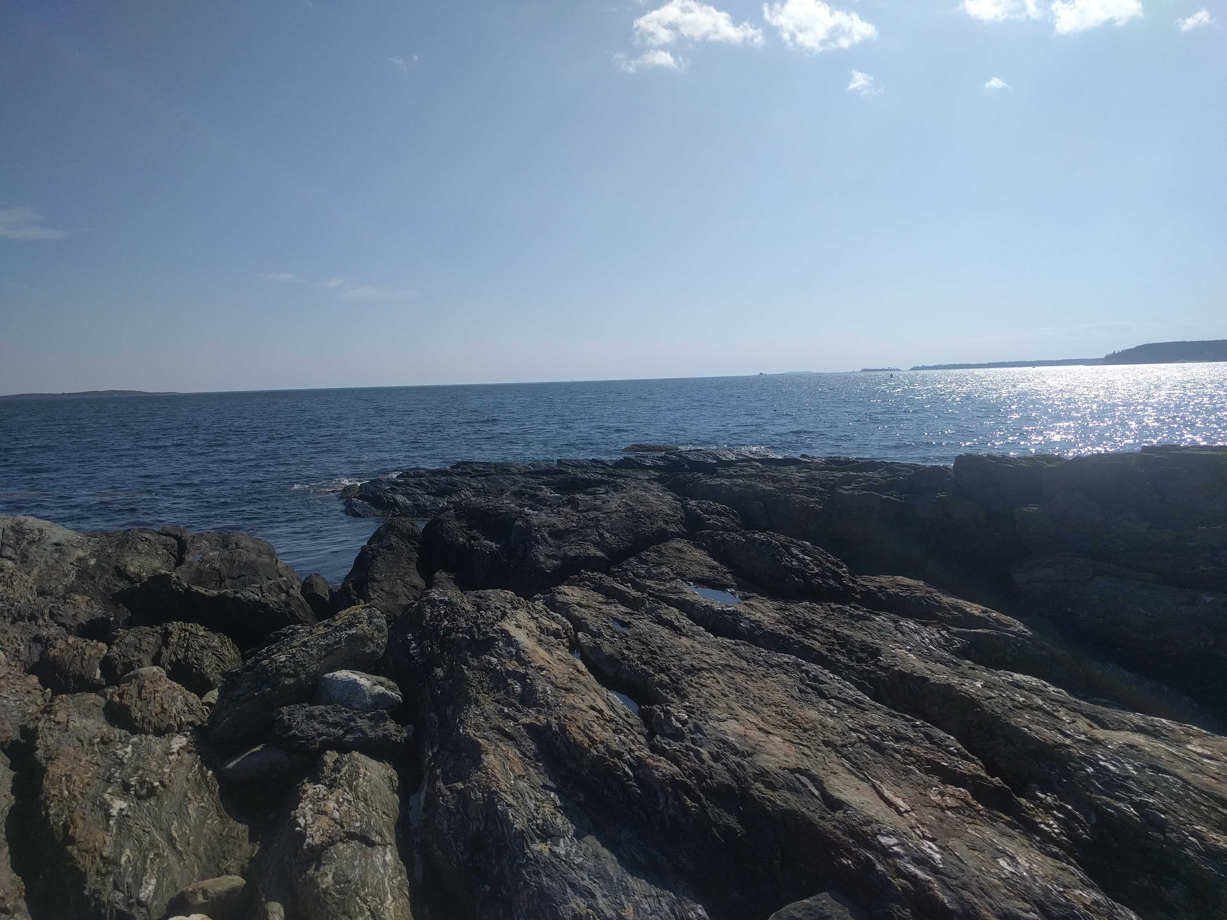
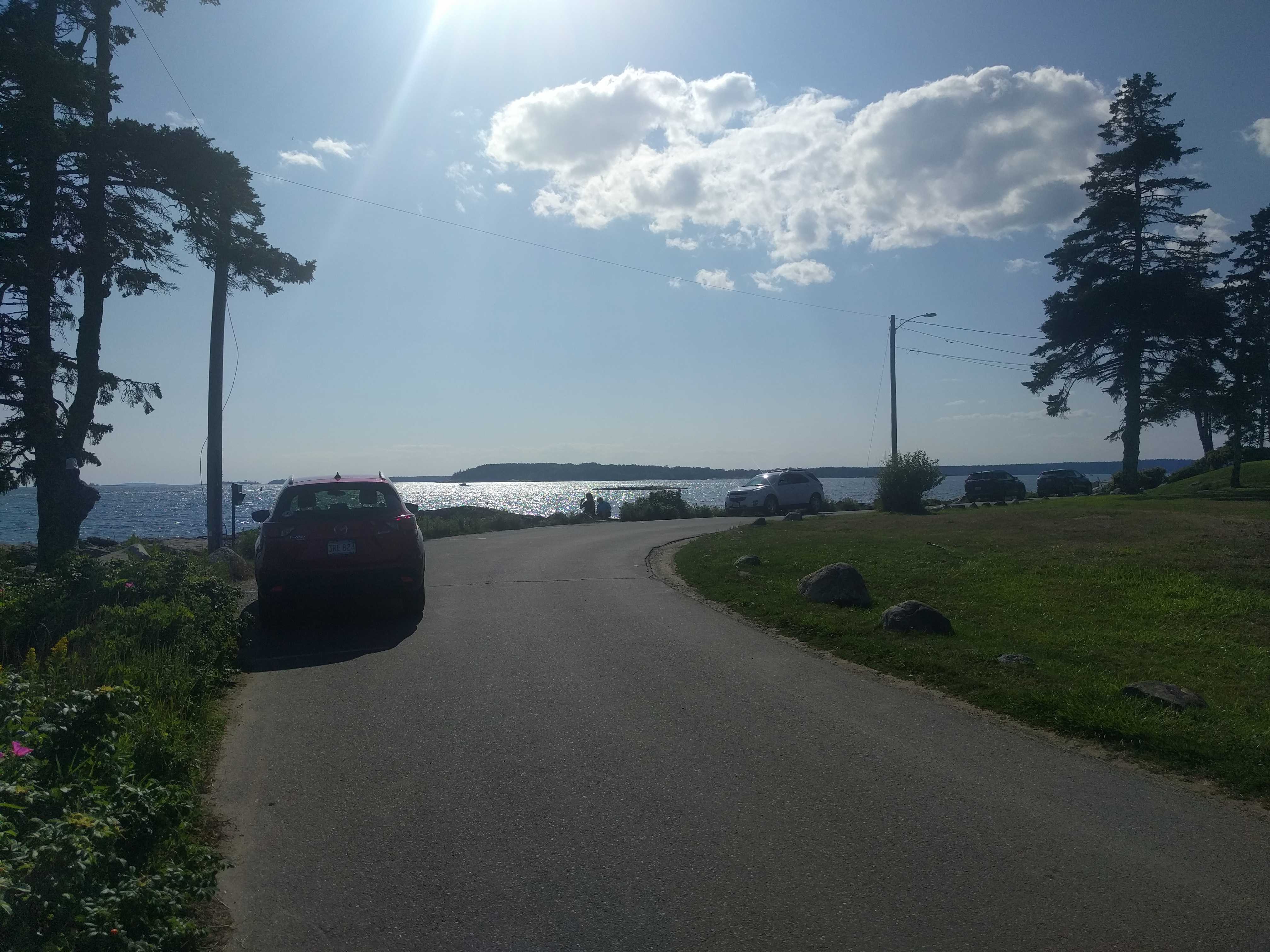
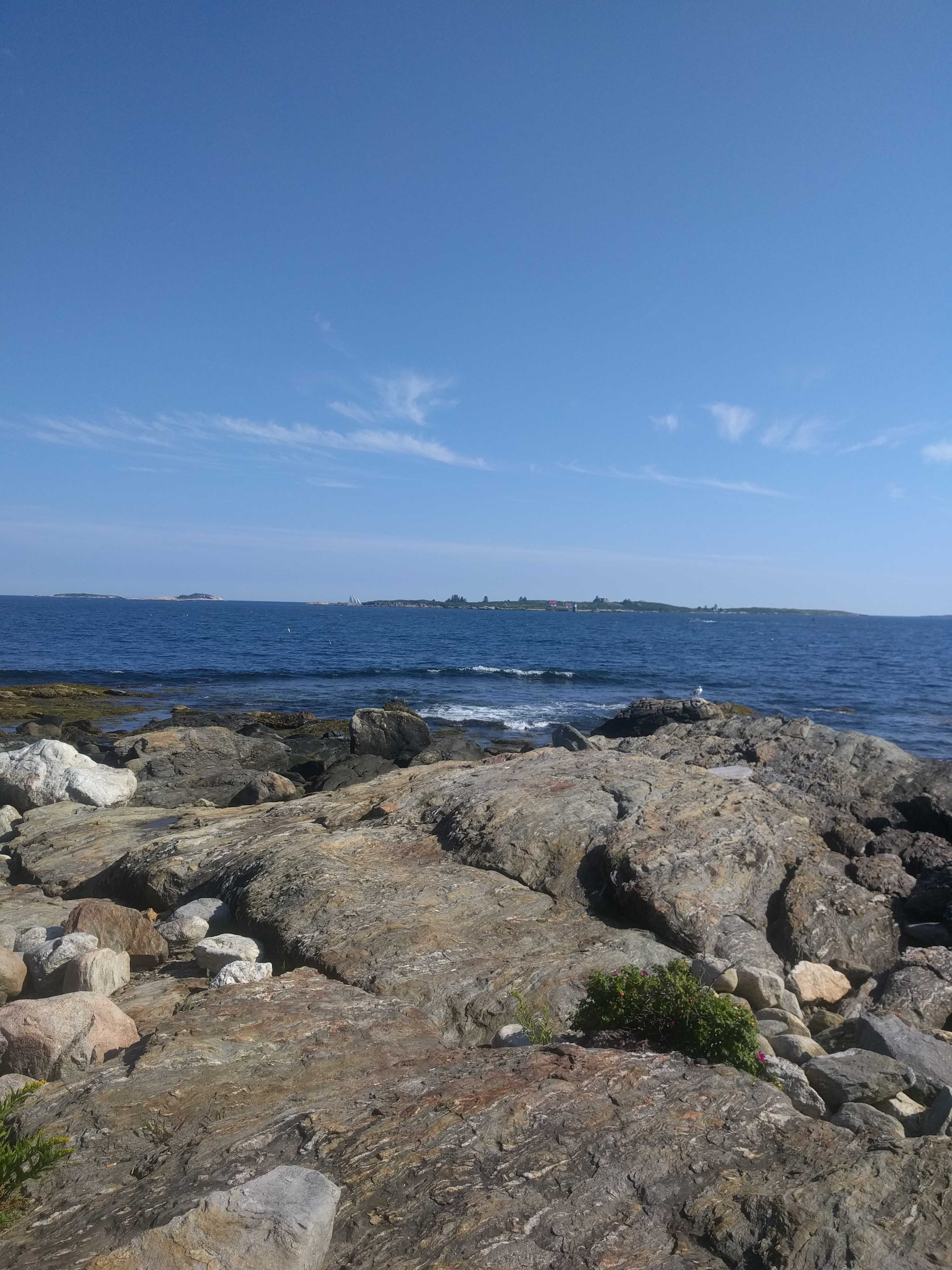
 We drove all the way out past the town toward the lighthouses, stopped in the National Park to walk the pups on the beach and then headed back into town to find out if Provincetown was dog friendly. Turns out it is. We were famished by the time we found parking out on the wharf and wandered onto the main drag. That word did double duty here. Its a cool little town with the huge historic marker on top of a hill back from the waterfront. That main road
 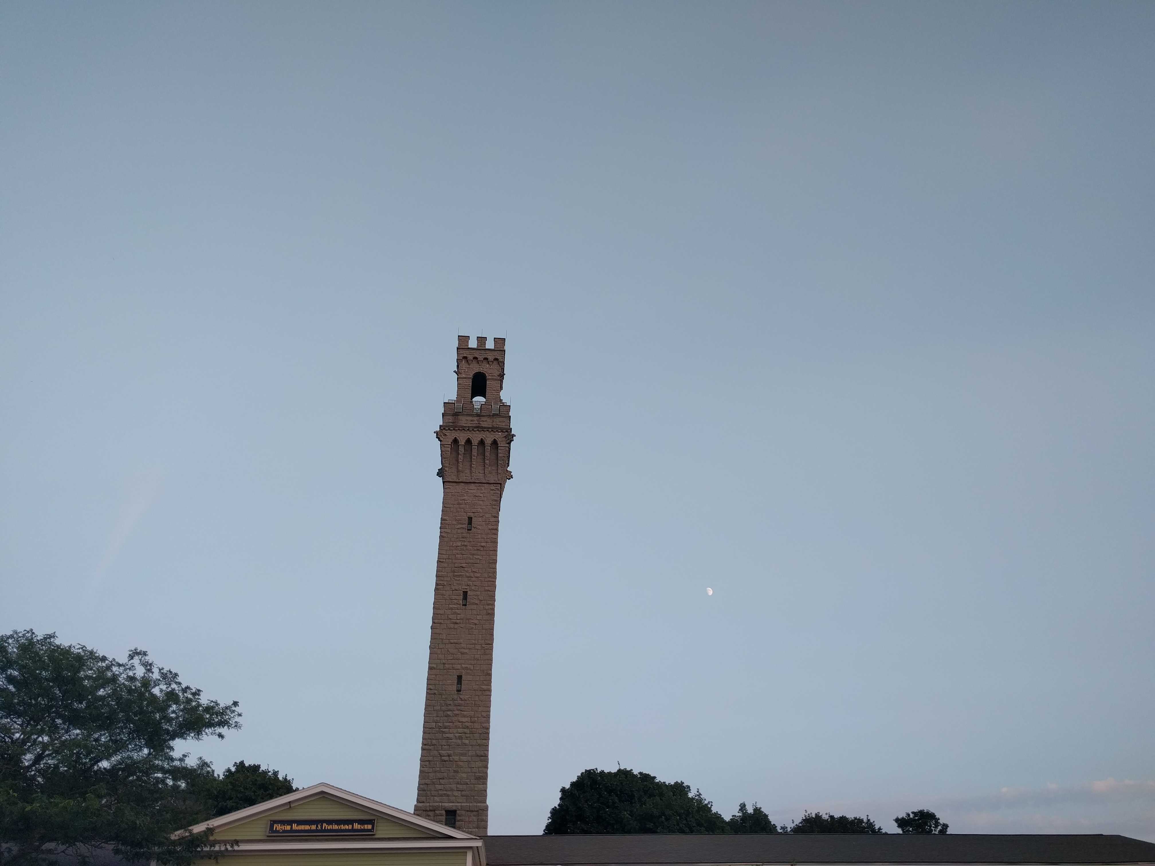 is barely one lane wide. I think it was called Commercial Street, but mostly it was people just walking on it and occasionally a car poked on by. I saw what looked like a decent pizza place with an outside deck and asked the guy if they allowed our pups. No issue he said and we climbed the stairs up to the deck. The pizza was pretty good. Not Brothers (Red Bank, NJ) quality, but better than most.