Our first full day there we decided to take a drive around the old neighborhood. On the way we stopped at Delicious Orchards, which I remember as a small farm stand we used to buy fruit and produce from as a kid. Now it’s massive. I couldn’t believe how much produce and fruit they have now. I have not seen anything like it anywhere. Kathy was impressed too. And we thought there was a lot of choices in Cali!
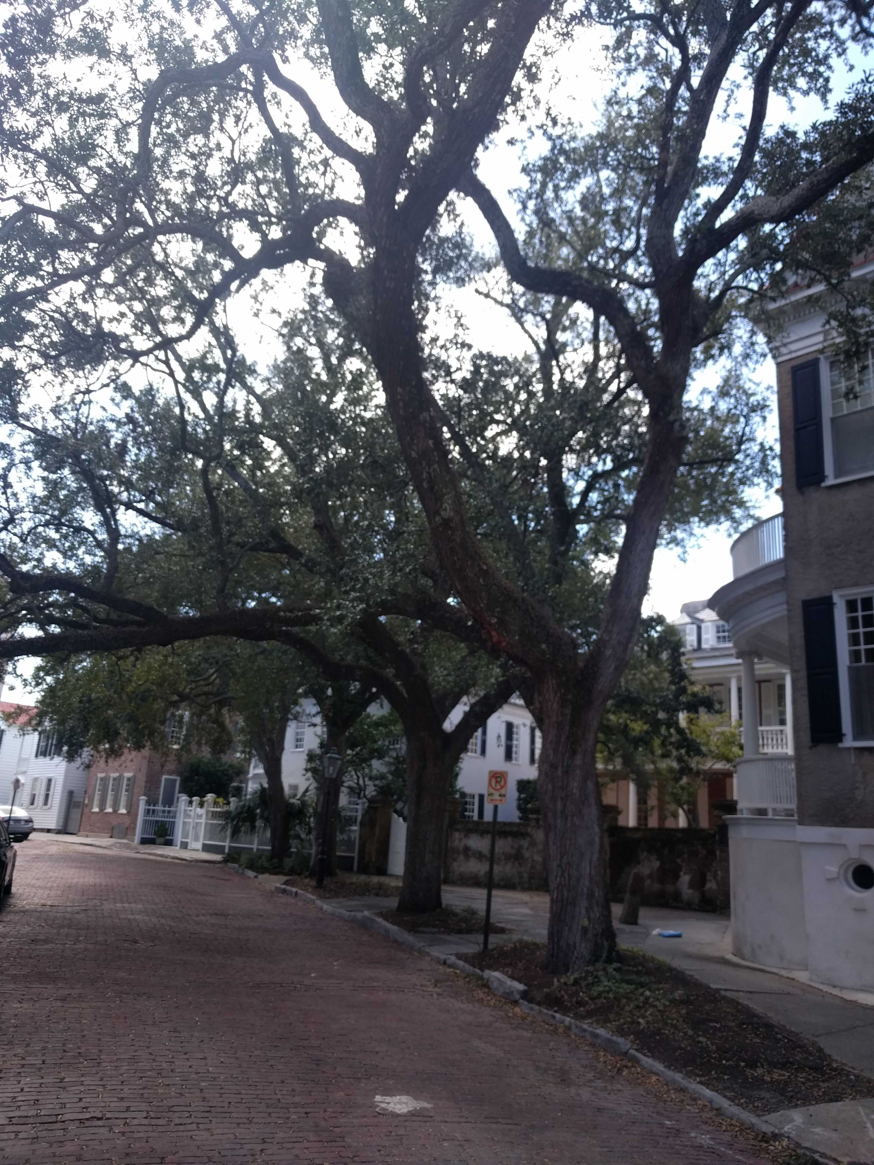
 We then drove over to the old homestead and around the neighborhood. It’s amazing how different everything was. I thought the trees were large when I was young, but now they are giants. The big hills I remember as a paperboy look like flat ground now. The downtown of my little town still seems the same but with different stores. My favorite sub shop was still there. Hard to imagine Joyce is still alive.
After driving around the town, we drove to the farm I worked on as a teenager. It’s now a county park equestrian center. Very few of the original barns are still there. Only the big house, the 5-car detached garage, and the horse barns are still standing. In place of the others were a lot of brand new, low-slung barns. I still find it hard to believe they tore down the old hay barn. It was gigantic and built with hand hewn huge beams using only wooden pegs to hold it together. It must have been from the late 1700’s similar to when the main house was built.
They also had redone the roadway that used to have a couple of sharp turns and one particularly nasty intersection on a blind hilltop curve. I cannot remember how many mornings, mostly Saturdays, that I was out there digging up the snapped-off thick oak posts and putting up replacements after someone over or under-corrected on the curvy road coming back from some bar late at night.
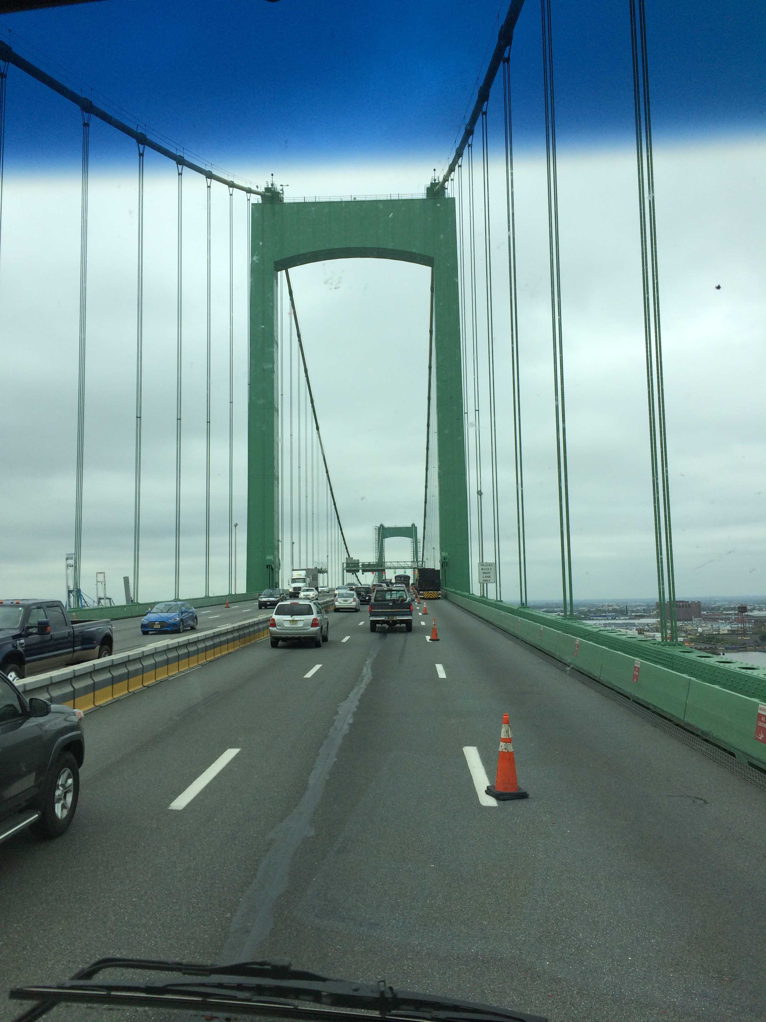
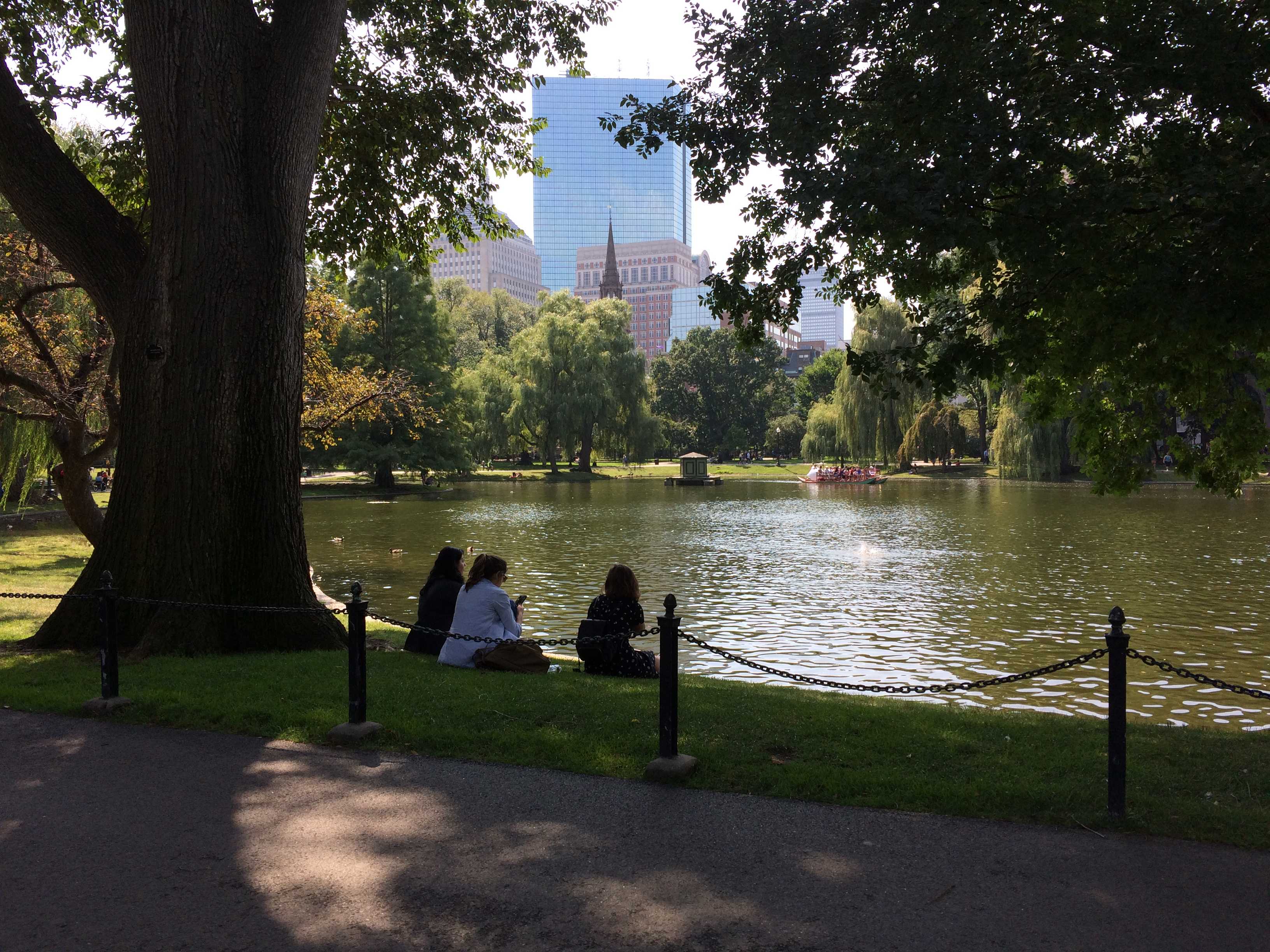
We drove out to my old high school and on the way passed my old Jr high at the corner of Nut Swamp Road and Middletown Lincroft Rd. (Wasn’t there a Springsteen lyric about the swamps of Jersey?) It was still a long drive to my old high school. The HS was letting out the students so it took a bit to get by it. The traffic on those small roads and numerous new traffic lights made me glad I live in SD where there are freeways without traffic lights and they go practically everywhere.
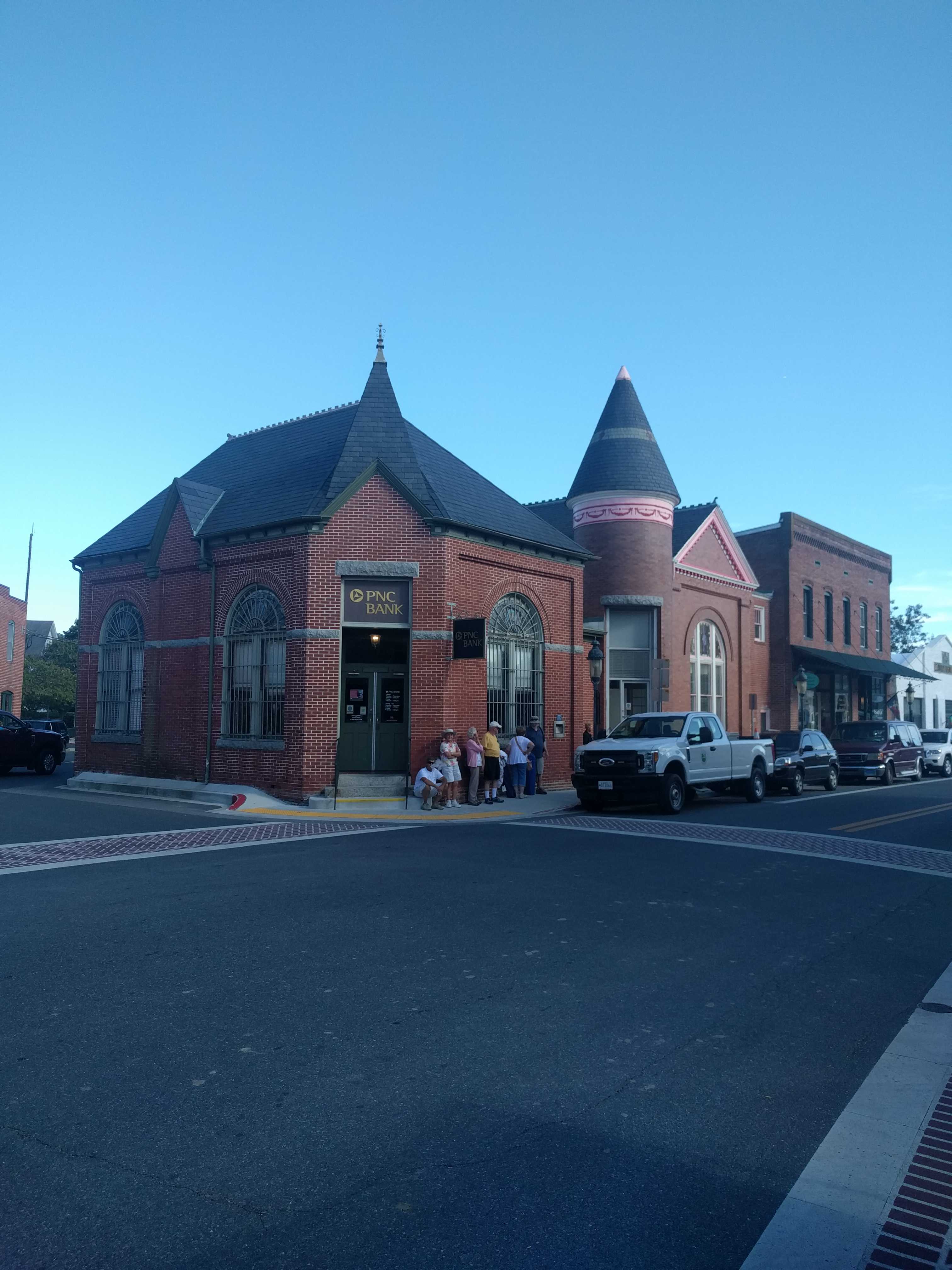
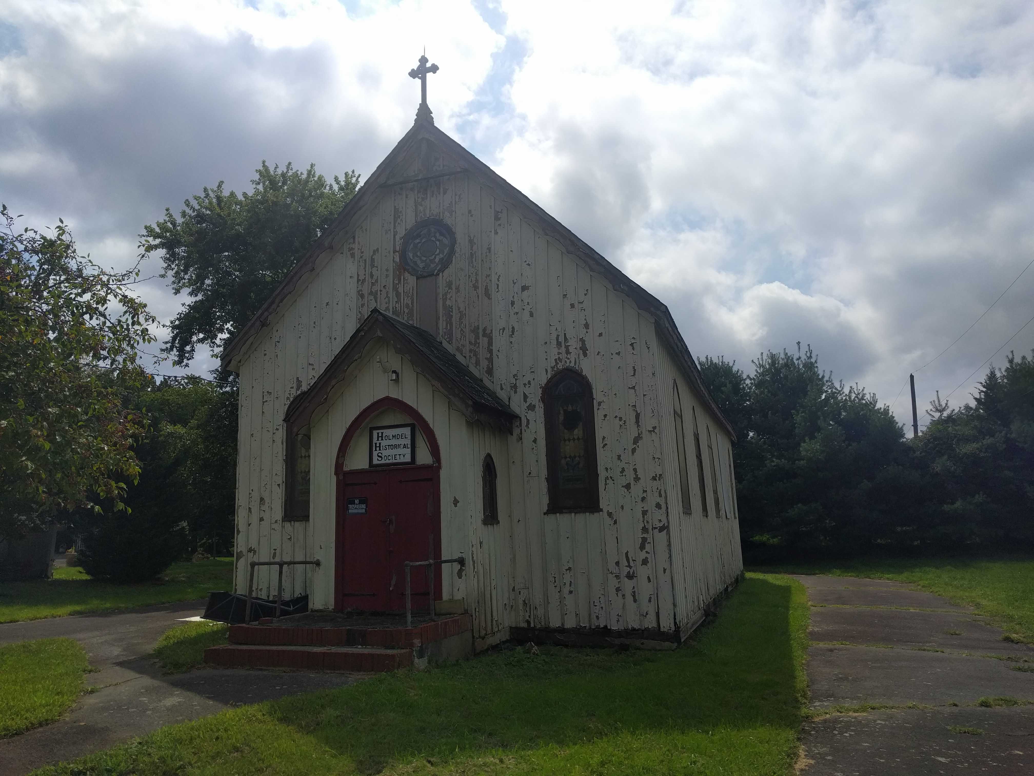
On the way back to the coach, we passed the old Sears store where I worked nights after school, It was all brick when I was there. It looks like they have 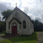 painted the brick white since then. We also drove past the little church where I had my confirmation, St. Catherine’s. It looks awful, hard to imagine it’s still standing. Appears the Historical Society owns it now. Then back to the middle of nowhere to our campsite for the night!
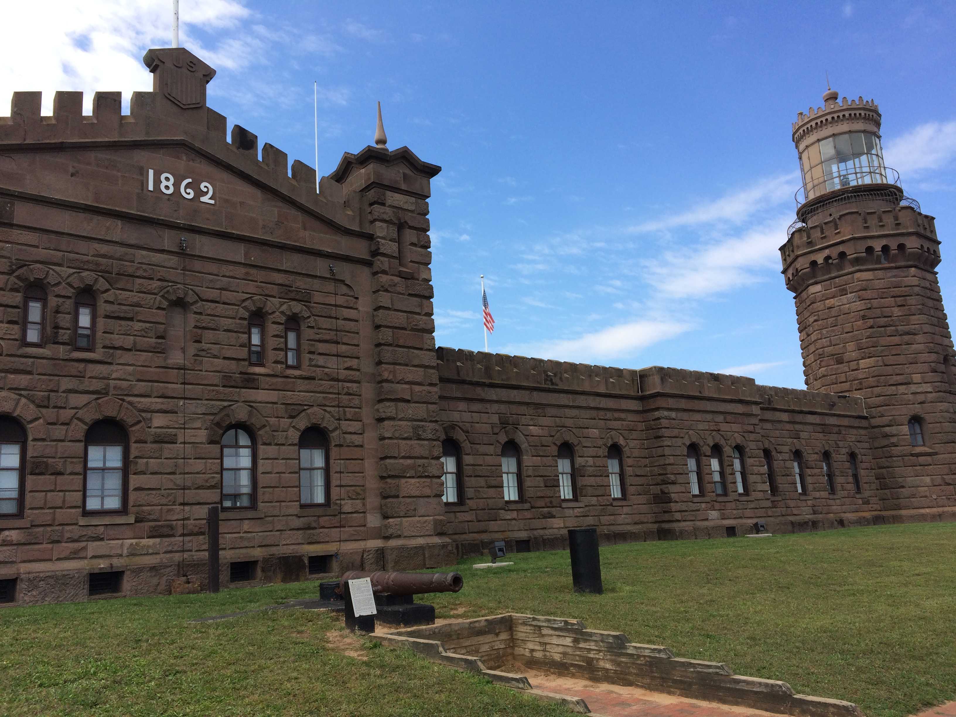
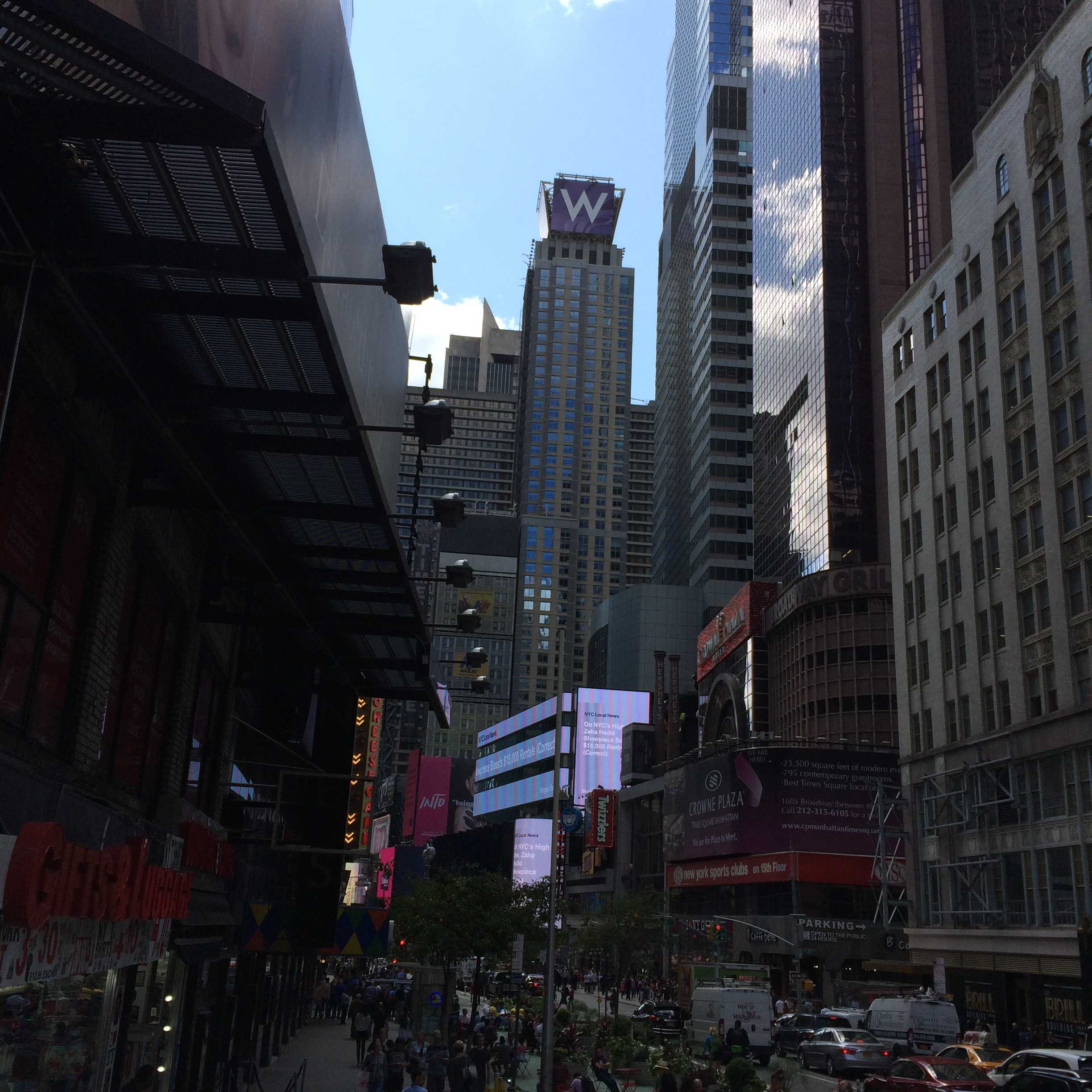
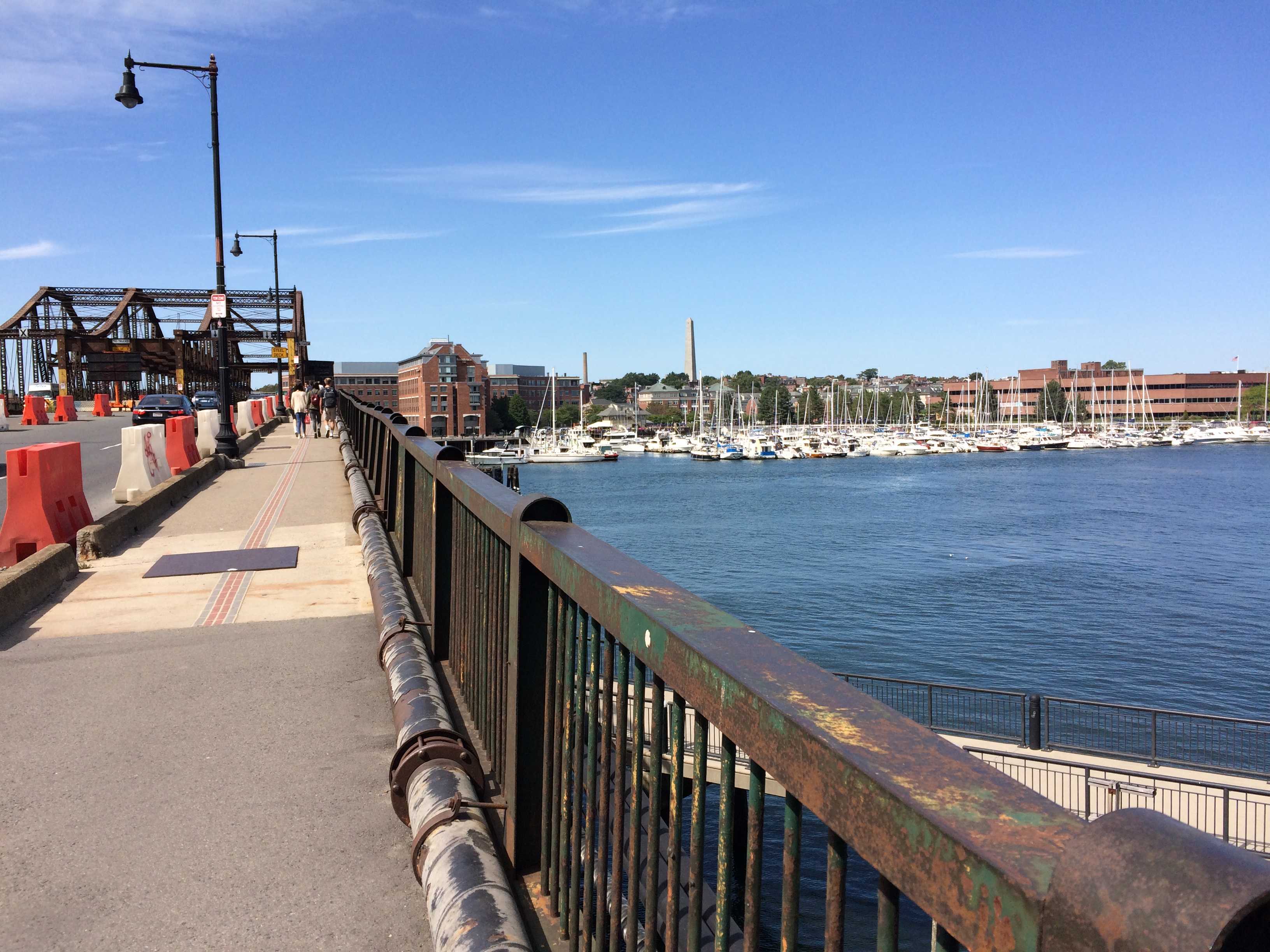
I let my NYC knee injury heal for a few days and then headed out for another sight seeing day. Took Kathy thru Fair Haven, then Rumson, and on to Seabright to see if my first apartment withstood Sandy. It had, but the gas station that had been in front of it was gone. We then drove north toward Sandy Hook. Checked out Fort Hancock, which had been an old Nike missile base protecting NYC back in the ’60’s. When I lived here, you weren’t allowed on the base. Now you can drive all around and see lots of buildings in various states of abandonment.
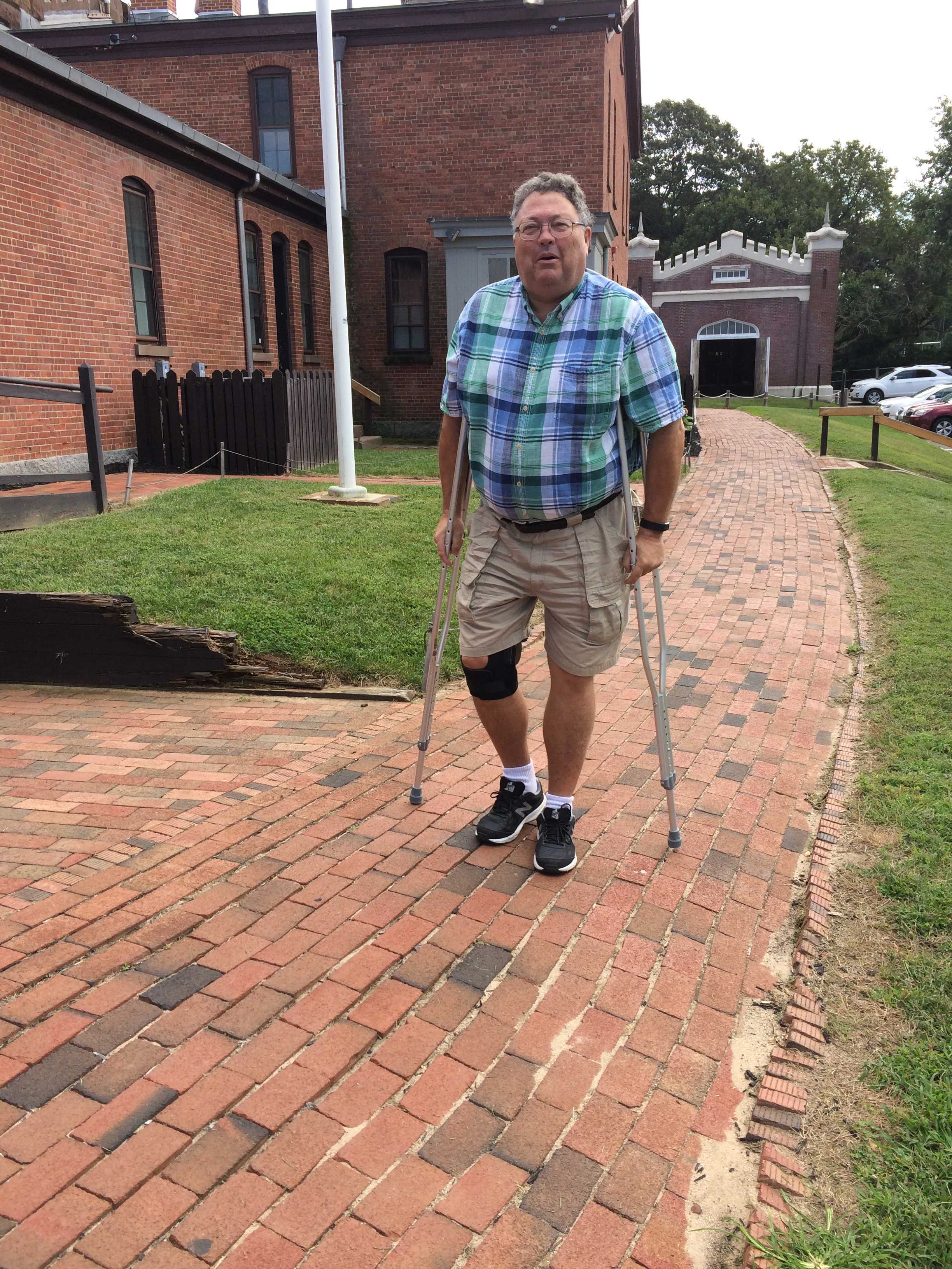
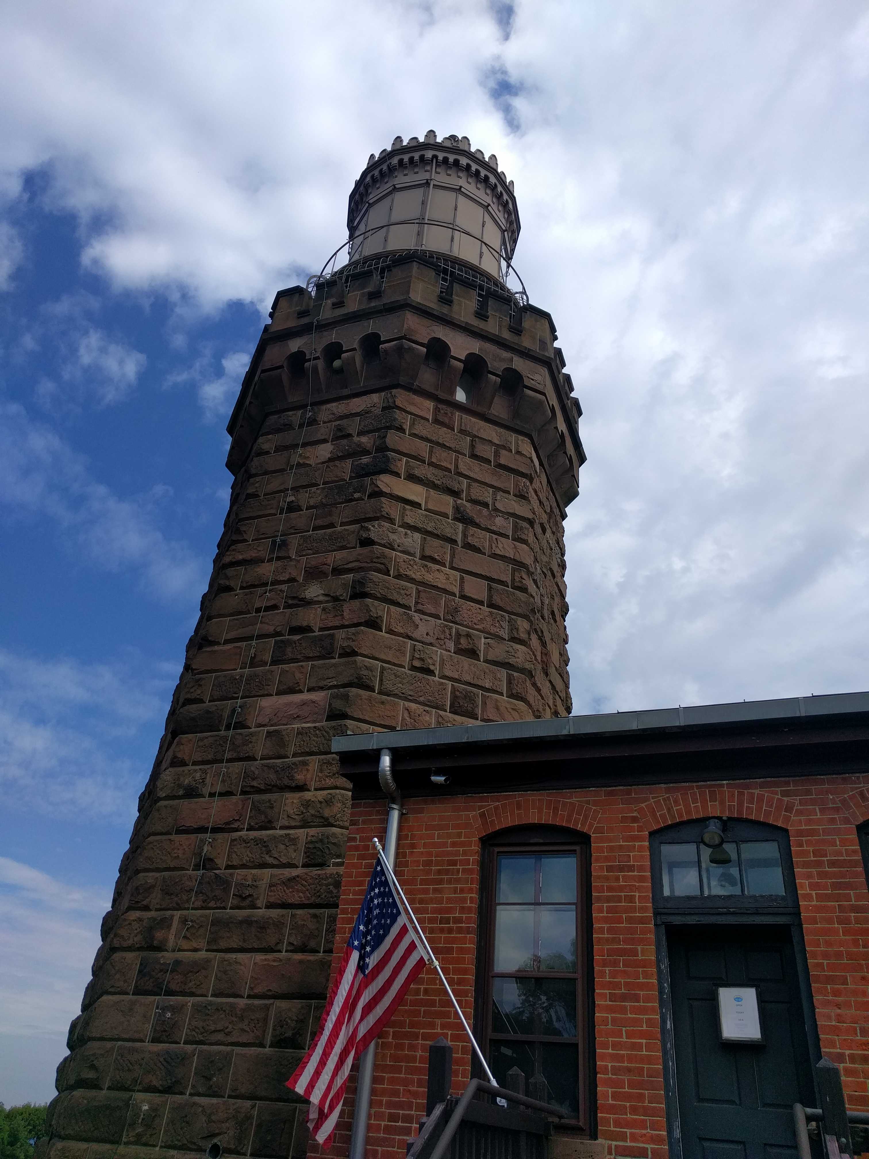
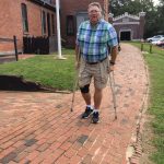
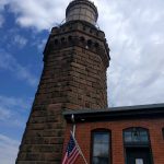
There is an old Cannon and a few stacked cannon balls which looked to be about an 18″ bore. I had never seen one that large 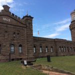 before. We missed finding the lighthouse, not sure how but we did. Then on to Twin Lights. I decided not to push it and didn’t climb up to the light. (not sure how the crutches would work on that spiral staircase) Kathy went up. Nice view from up there, as was the view of Sandy Hook and NYC from the front lawn of the lights.
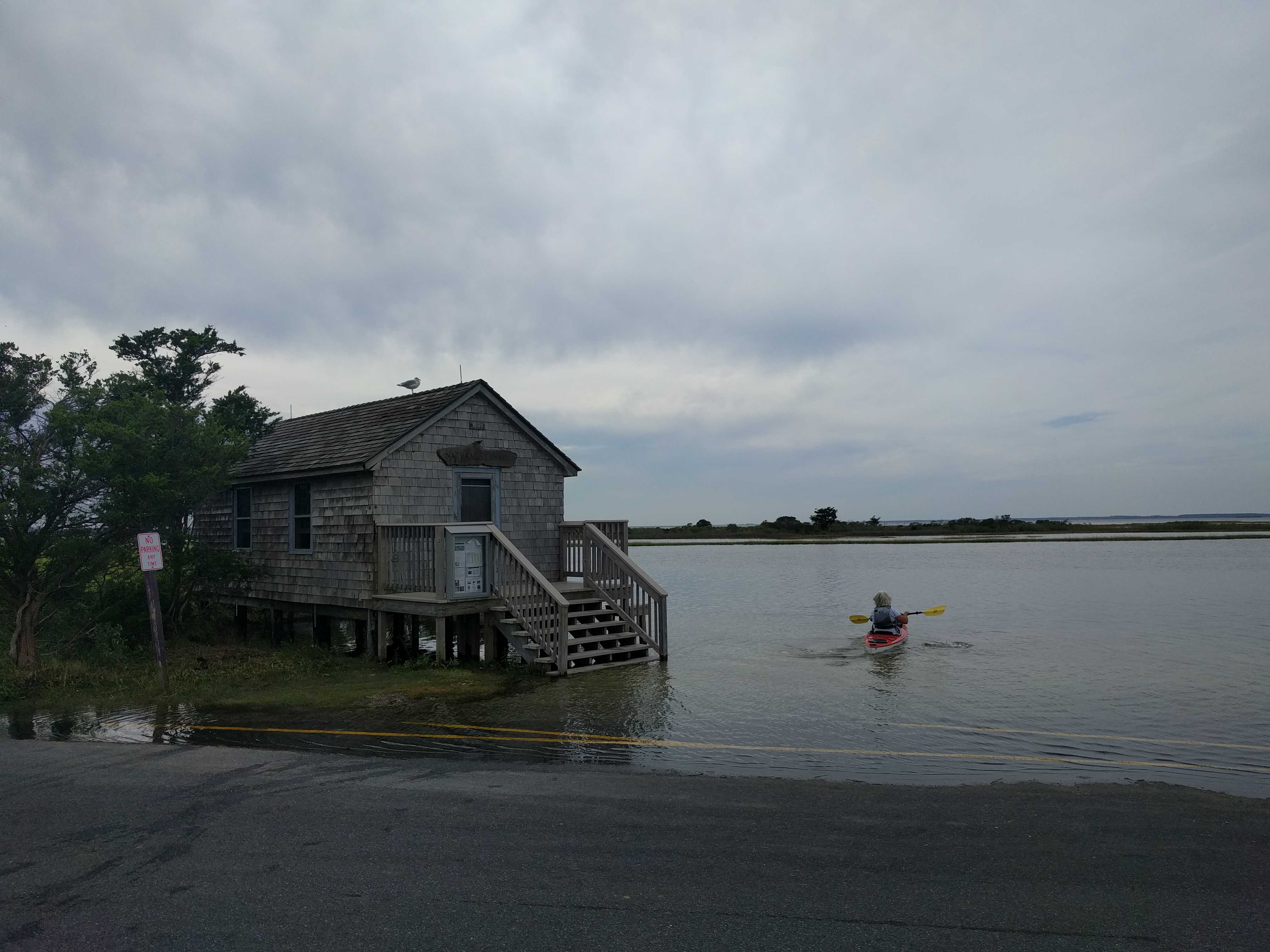
 After wandering around the lights for a bit, we made our way down to the little town of Highlands. It appeared to have taken a direct hit from Hurricane Sandy. It’s a really low lying area with lots of older homes that are maybe one foot above the high tide mark. Not a good thing when a storm surge of 17 feet rolls thru. I have never seen so many homes either raised 15′ or in the process of being raised. That storm hit back in 2012, not sure where all the folks lived for what must have taken years to rebuild. I am thinking the town’s name, Highlands, is very misleading. I just looked up an article on Highlands and of the 1,500 homes there, 1,250 were destroyed. (Highlands is a very very small place on the waterfront)
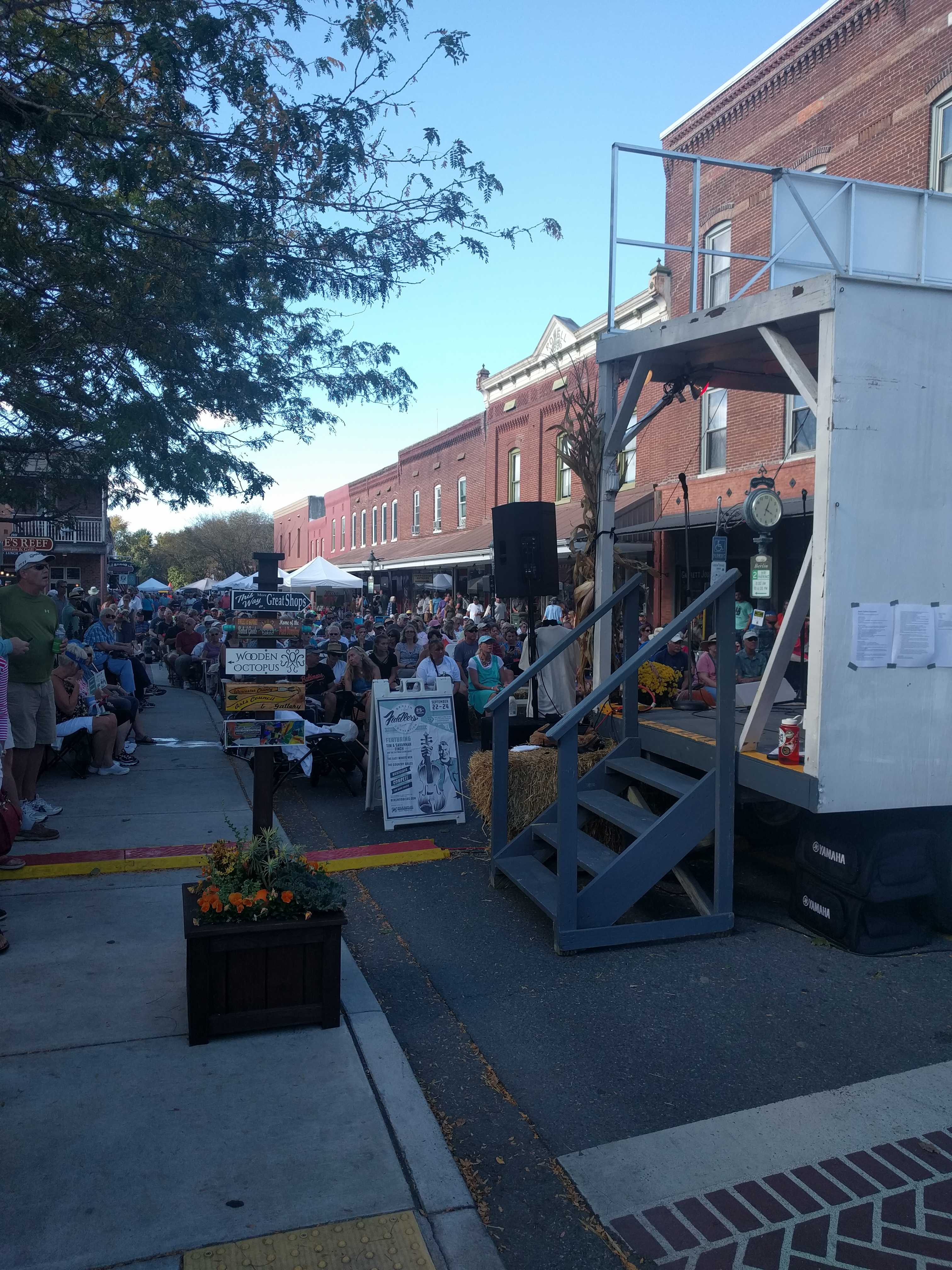
We visited Downtown Freehold with the family for a Mexican dinner at El Meson. Pretty good fare. I don’t think I had ever stopped in Freehold before, but our campground was not very far away.
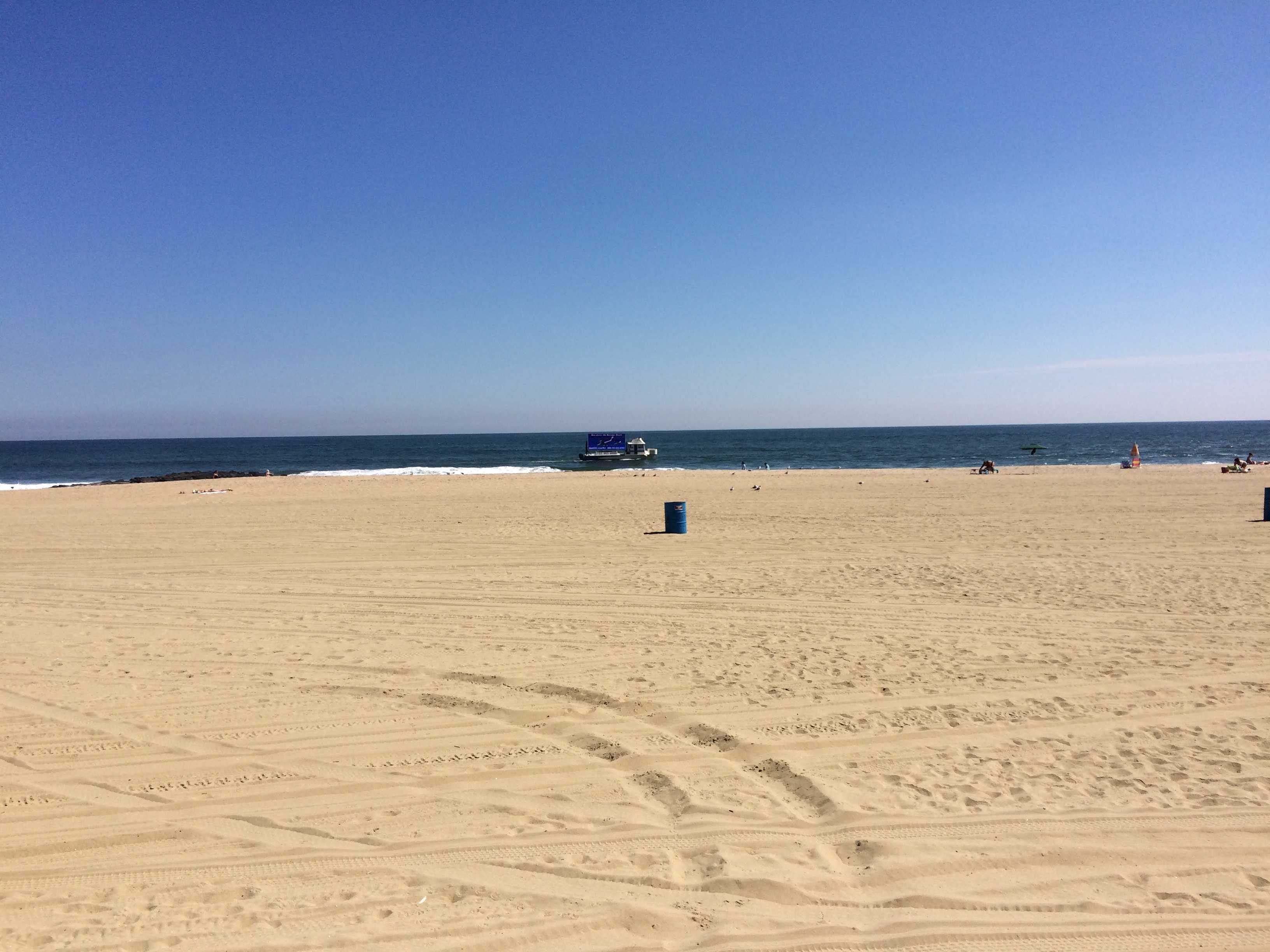
After viewing the Sandy Hook area, we headed back down the oceanfront back thru Seabright, Monmouth Beach, and into Long Branch to look for my old garage apartment. It was still there on Bath Ave next to the railroad tracks and LB train station. Took a quick drive thru west end looking for the Inkwell, but it appears to be gone, although the Brighton Bar was still standing, looking very poor. Ah, the pinball games we played there. We found the Windmill still standing, but drove on by as I wanted a Max’s Hotdog. And to my surprise Max’s was still there, although it looked a lot different. We went inside for Lunch. Amazingly, they said we could bring in the pups as no one else was there. It was fairly late in the afternoon for the lunch crowd.
After lunch we headed back to Bath Ave so I could show Kathy the 7′ high underpass that was behind my apartment. It’s still astonishing to me that they still allow vehicles to go thru there. If I took the coach there, the top 5 1/2 feet of the coach would be ripped off. 🙂 We won’t go there.
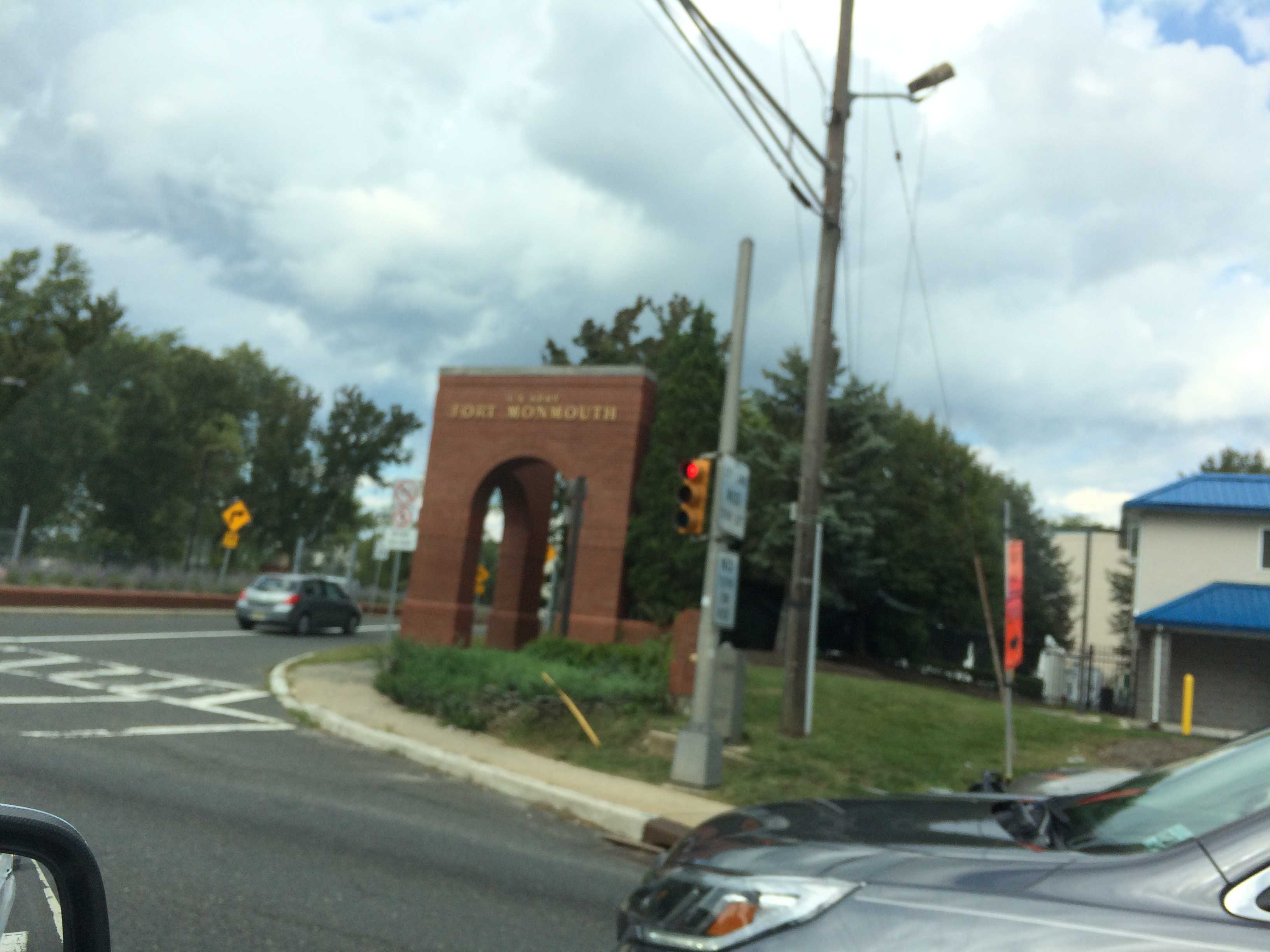
We headed south for a bit till we found West Park Ave and took it toward  Oakhurst to see what happened to a place I had worked just prior to moving to San Diego. It was still there, but of course, was something else now. We then drove up past Fort Monmouth and over to Swimming River Road, then back to the swamps of Jersey for the night.
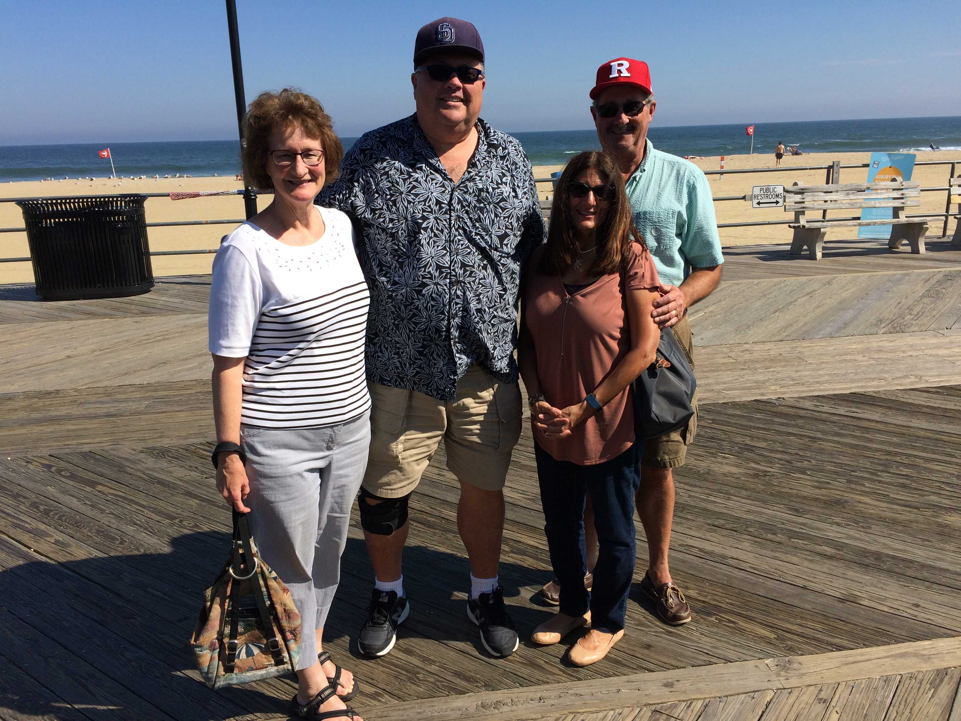
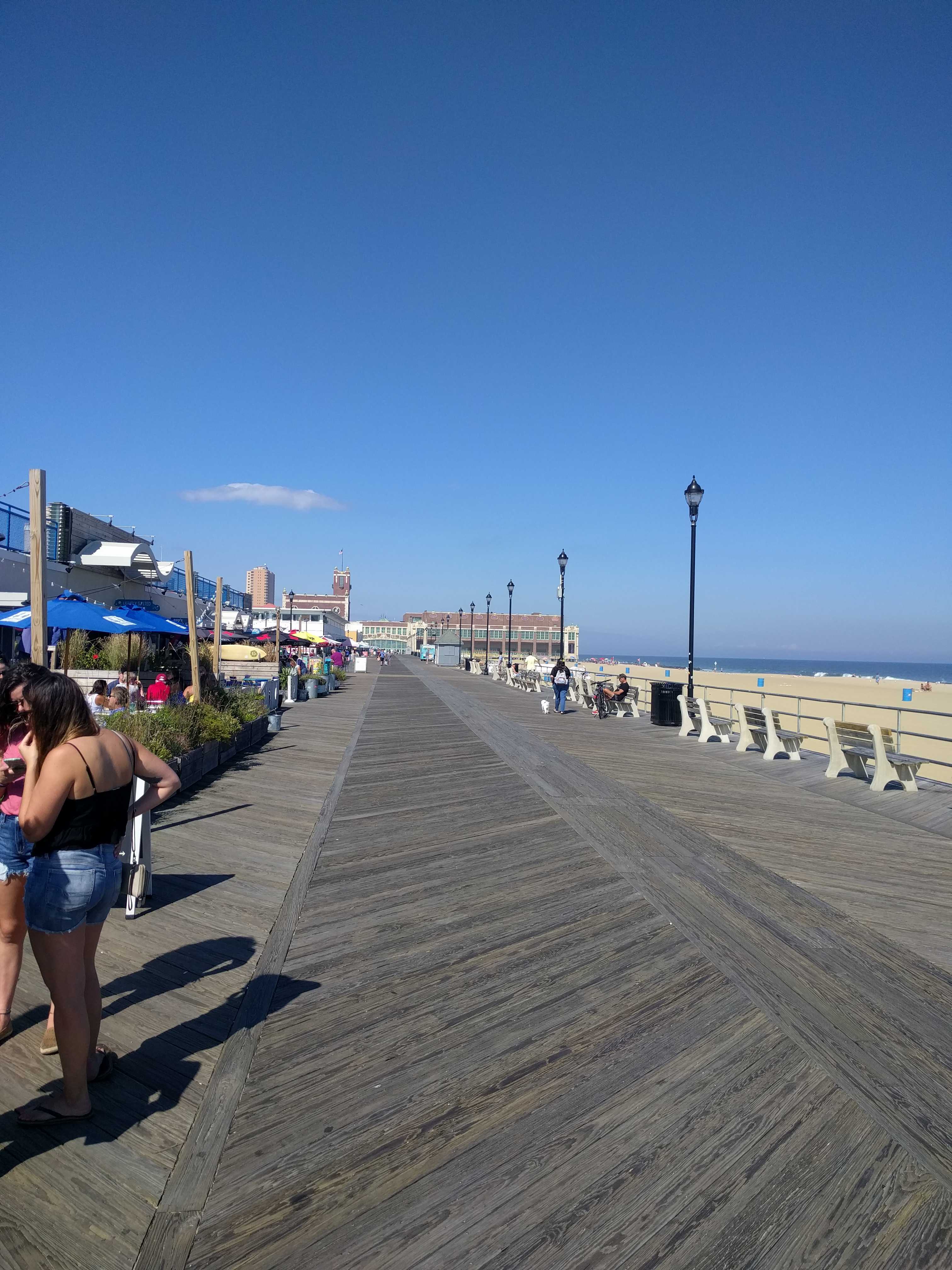
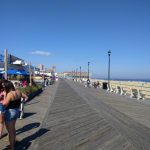
 On Friday we headed out for Asbury Park with my brother and sister-in-law for a stroll on the board walk. (Thankfully it’s still a boardwalk, not like the San Diego concrete walks they “call” boardwalks.) Unfortunately, Convention Hall was closed for a private party that day, so we headed back south to find a spot for drinks and
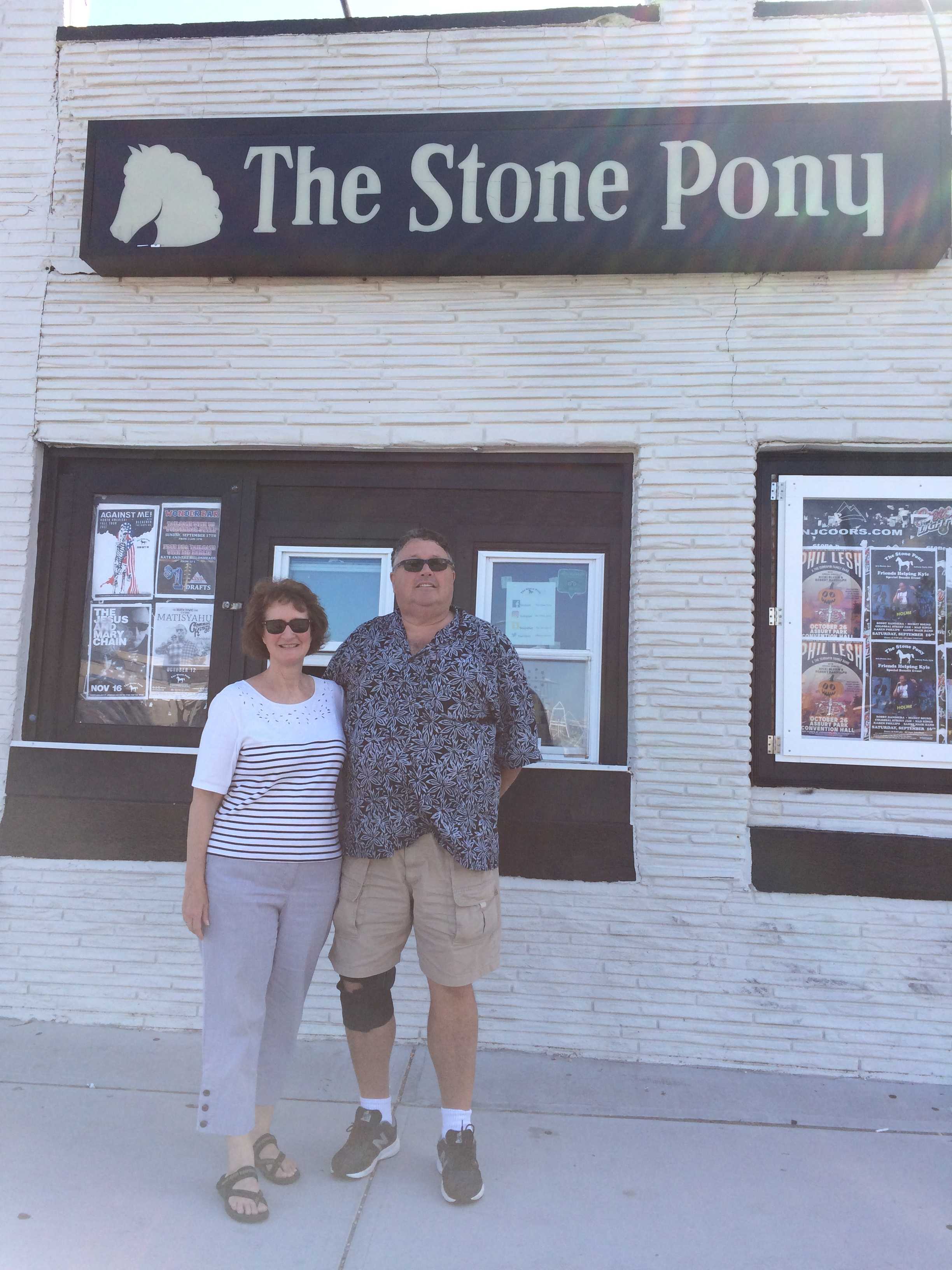
 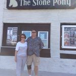 appies. Then crossed Ocean Ave to snap a pic in front of the Stone Pony. That place has really changed. It’s almost the whole block now. Last time I was there, it was maybe 40×40′. You can still see the original building in the middle of the block with the rest of the new building totally surrounding it.
I was sad to see Mrs. Jay’s was gone. It’s now an outdoor stage area for the Stone Pony. When we were driving in, I sort of was lost as both Kingsley and Ocean Ave are now two-way streets. They were one way the last time I was there.
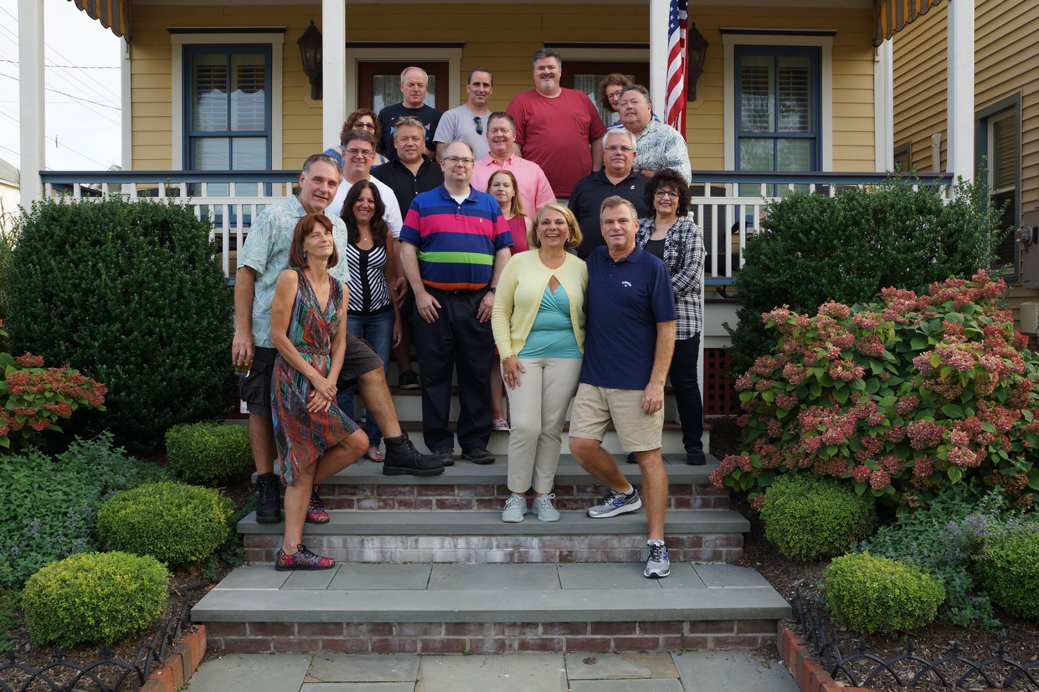
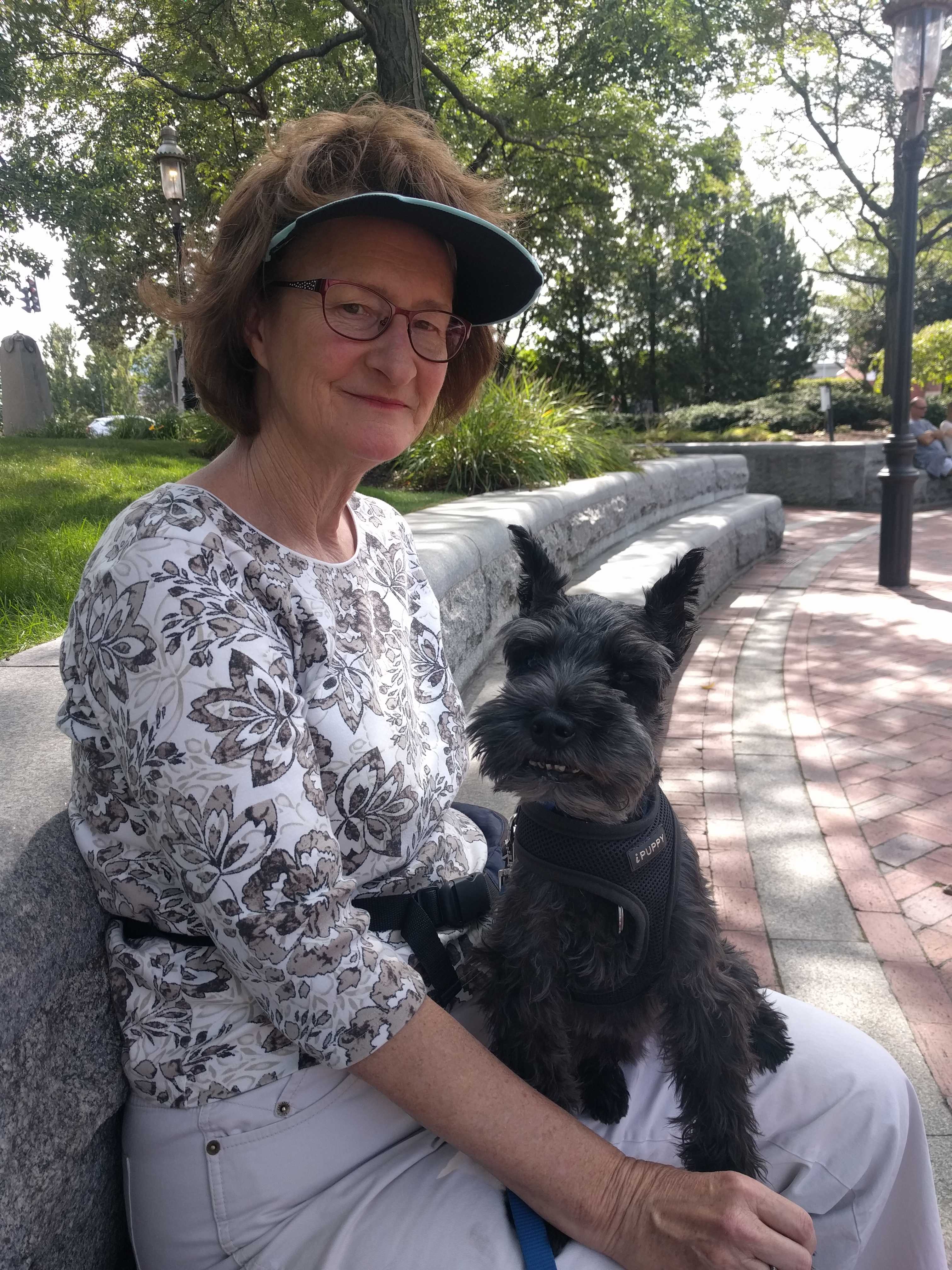
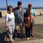
 On Saturday we headed over to Ocean Grove for a birthday party at Christine’s beautiful house. It was a festive event with lots of ex-Sony folks that I worked with for many years. I was told that we had to bring the pups or I couldn’t come.. at least I think that’s what she said. 🙂 A great time was had by all!!

 We arrived at the Red Gate campground early in the afternoon, so we headed into Savannah to find the visitor center and pick up a tourist map. With that in hand, we set out to see the town. But first I wanted to stop at the railroad museum, which was just behind the visitor
 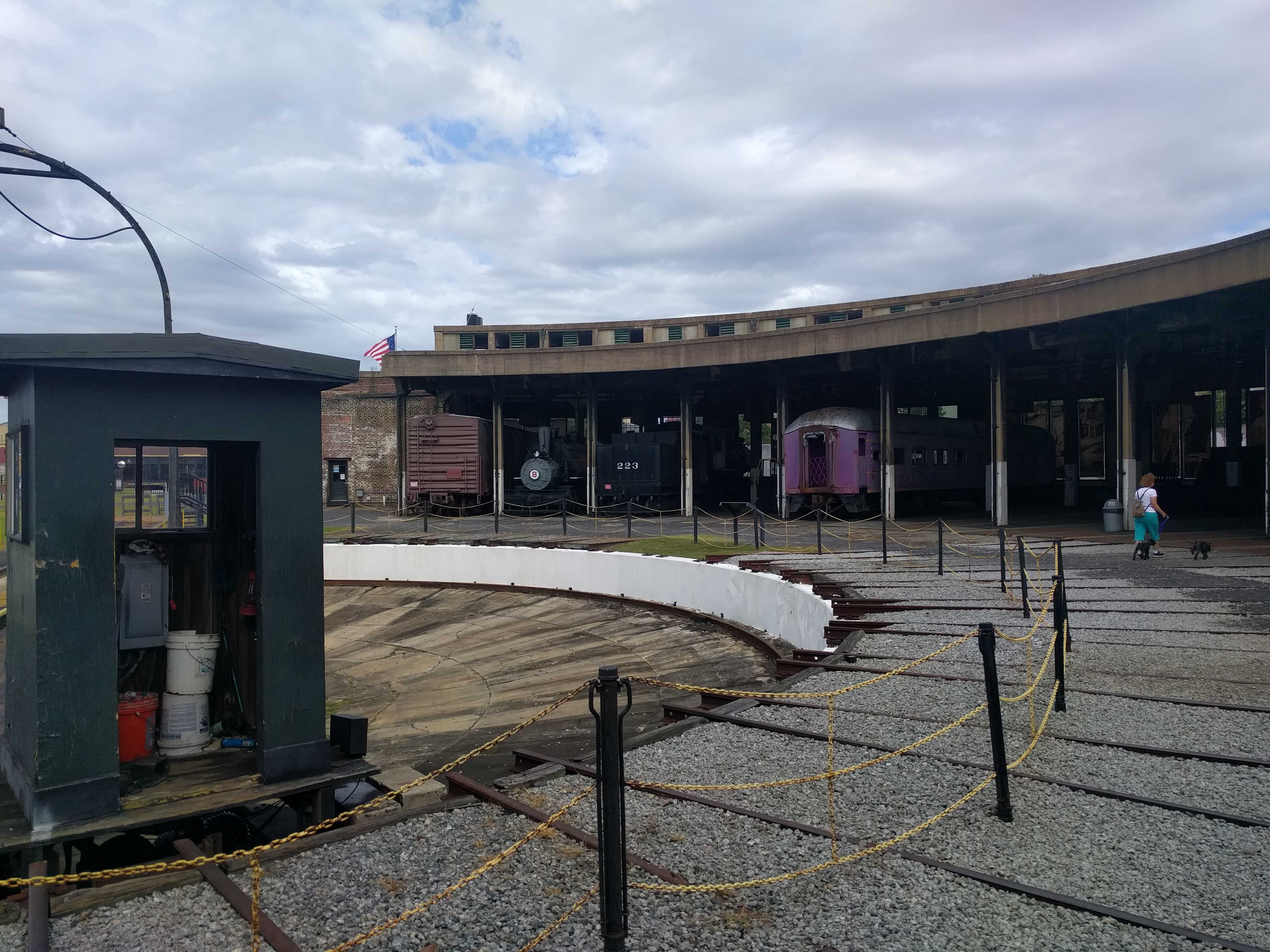 center. Since it was late, I asked for a discount on the admission and the person charged us half price.
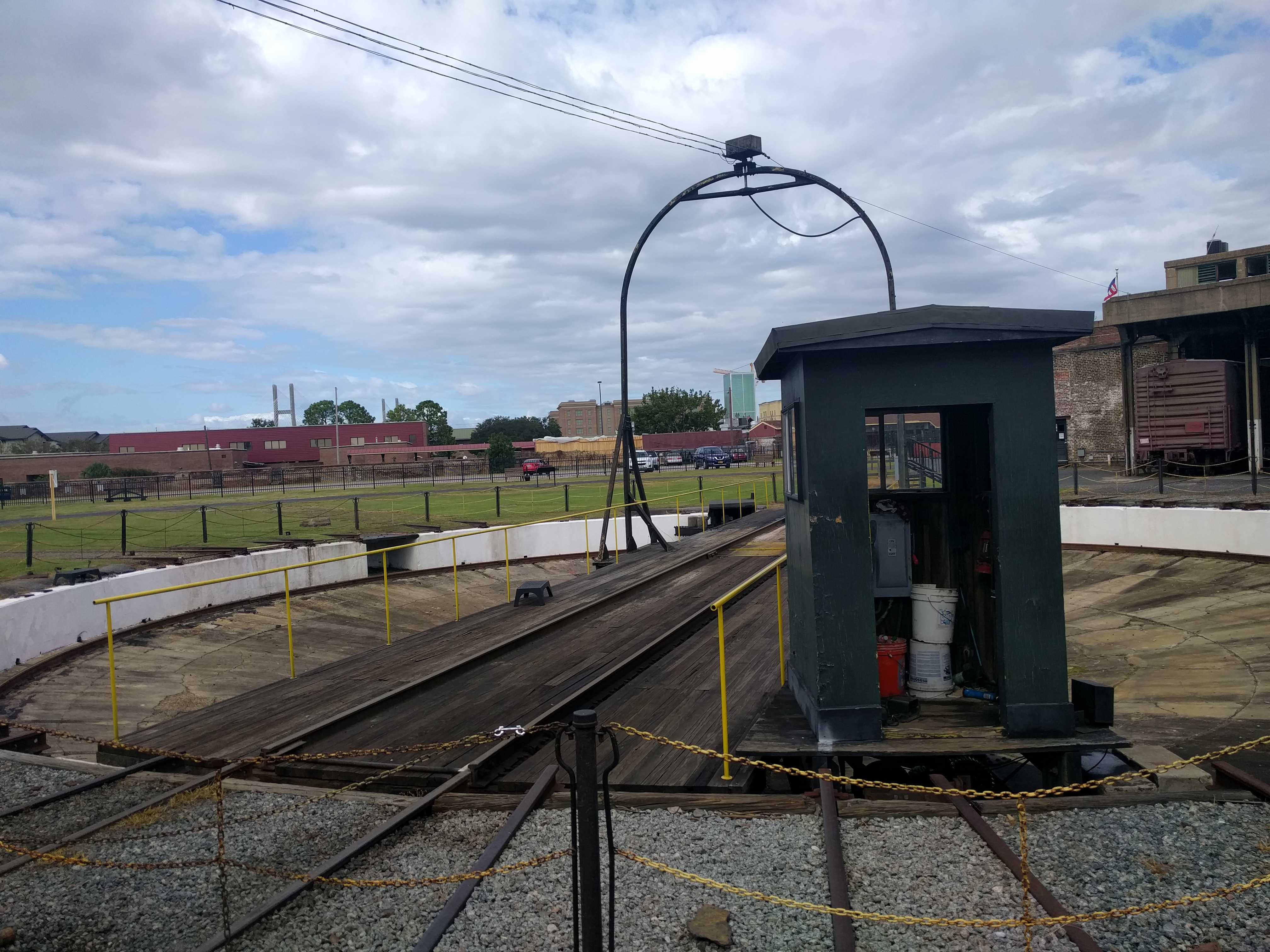 stroll with the pups thru the round house full of locomotives and cars. There was even a working turntable. It was surprising that the Savannah visitor center would allow you to dry camp (aka boondocking) in their parking lot for $7 a day. But I don’t think you can put out your slides.
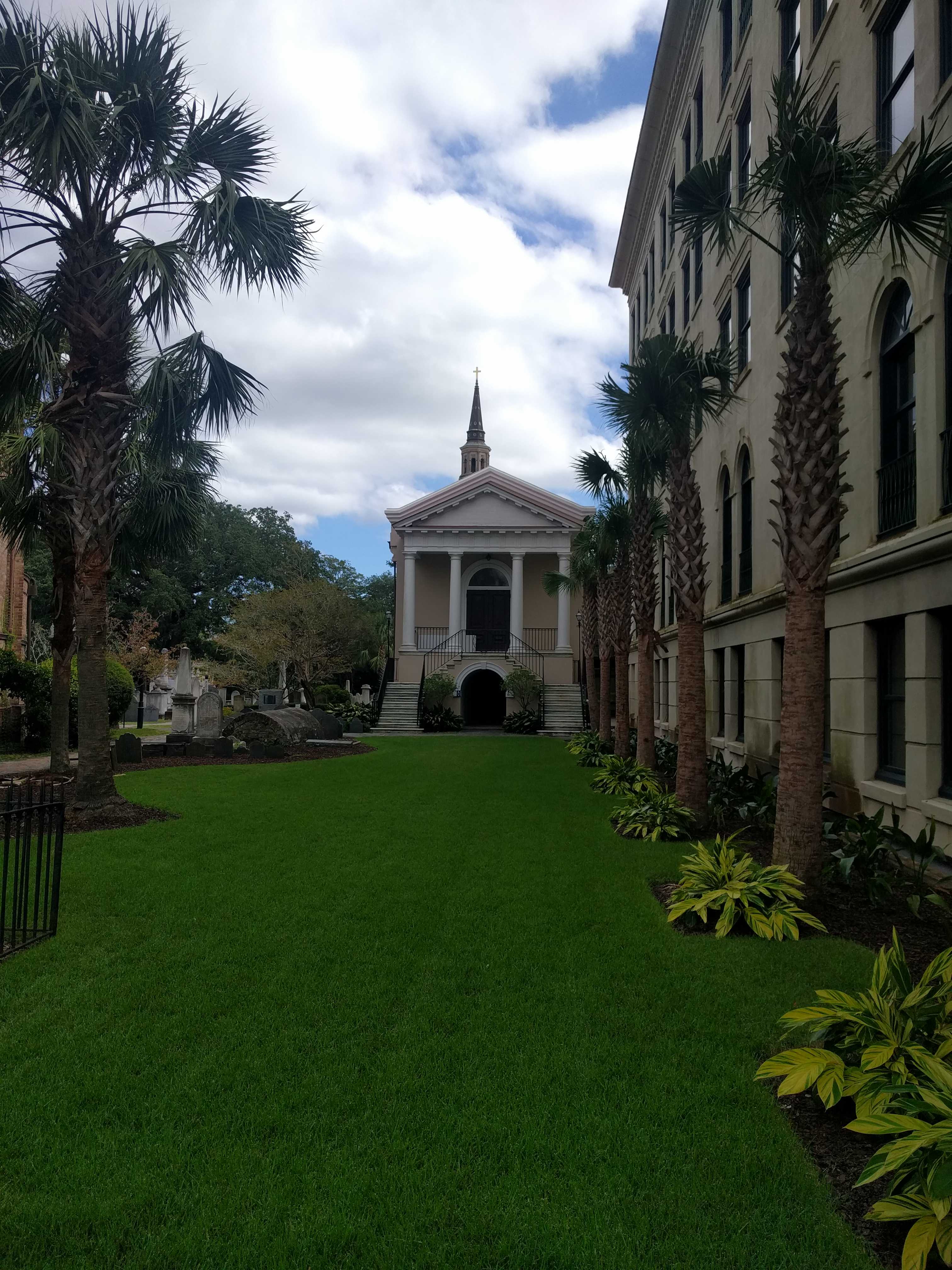
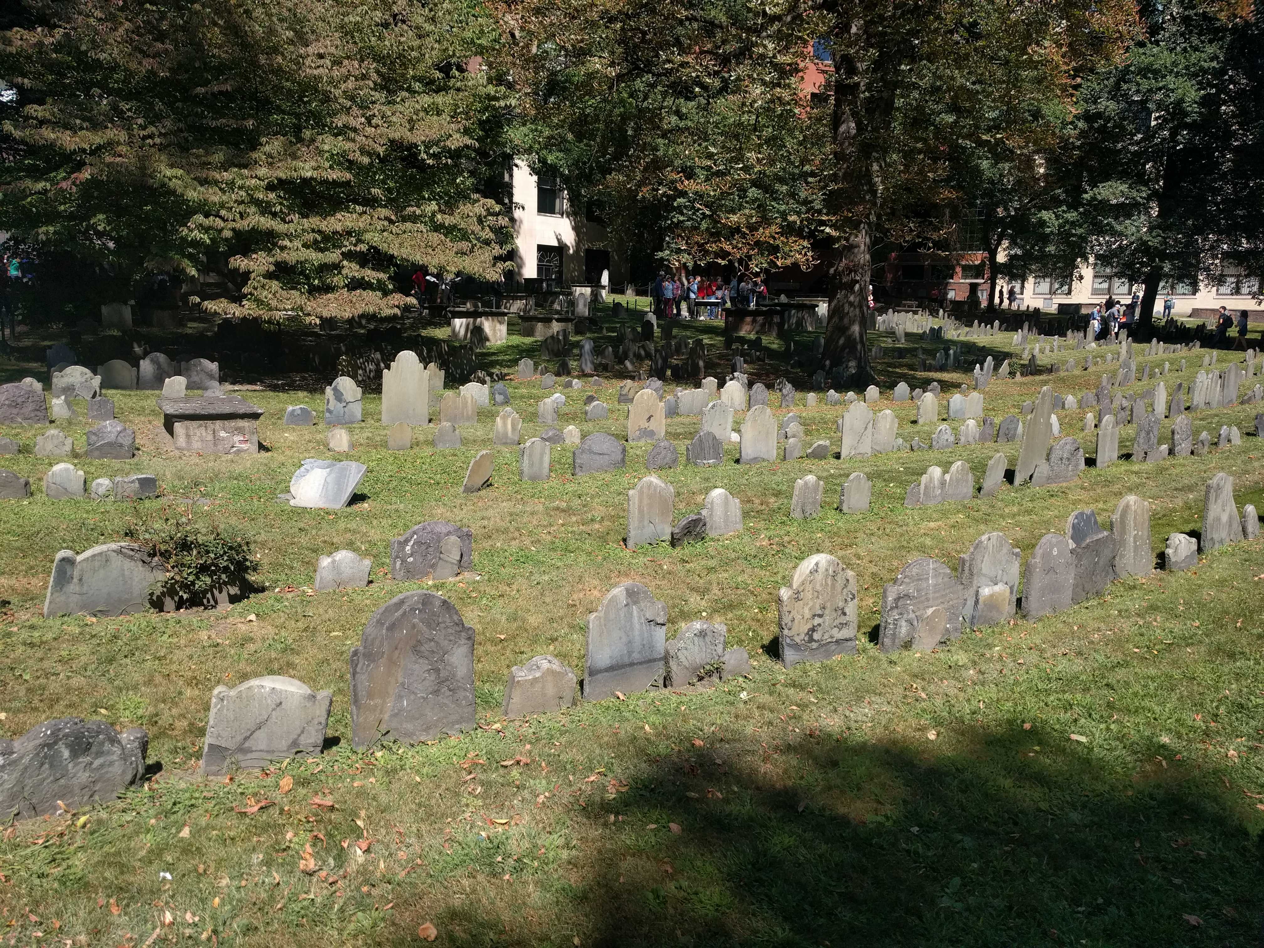
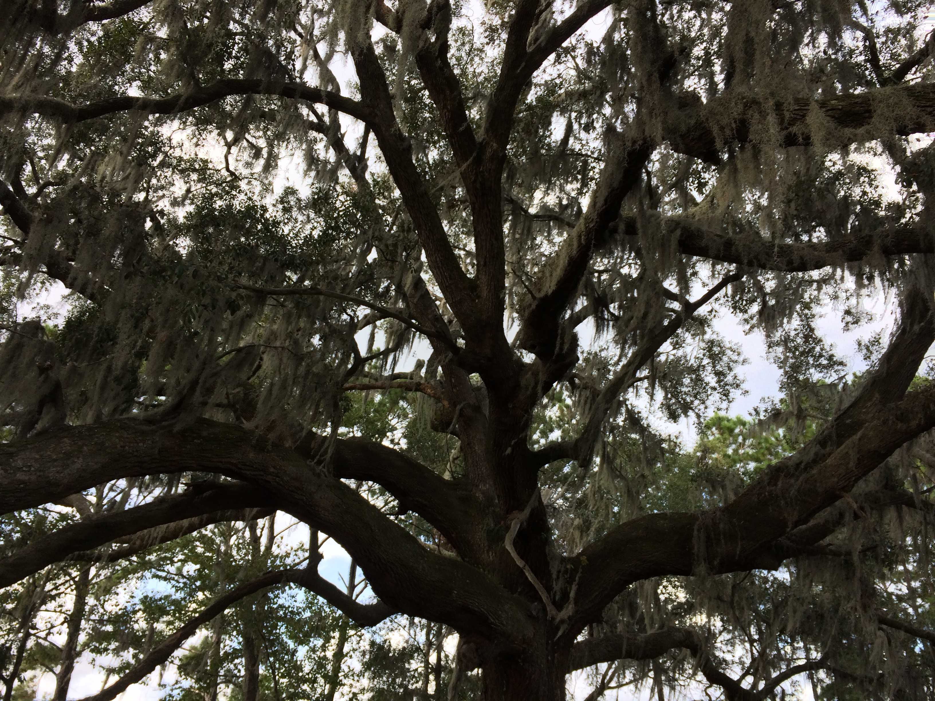
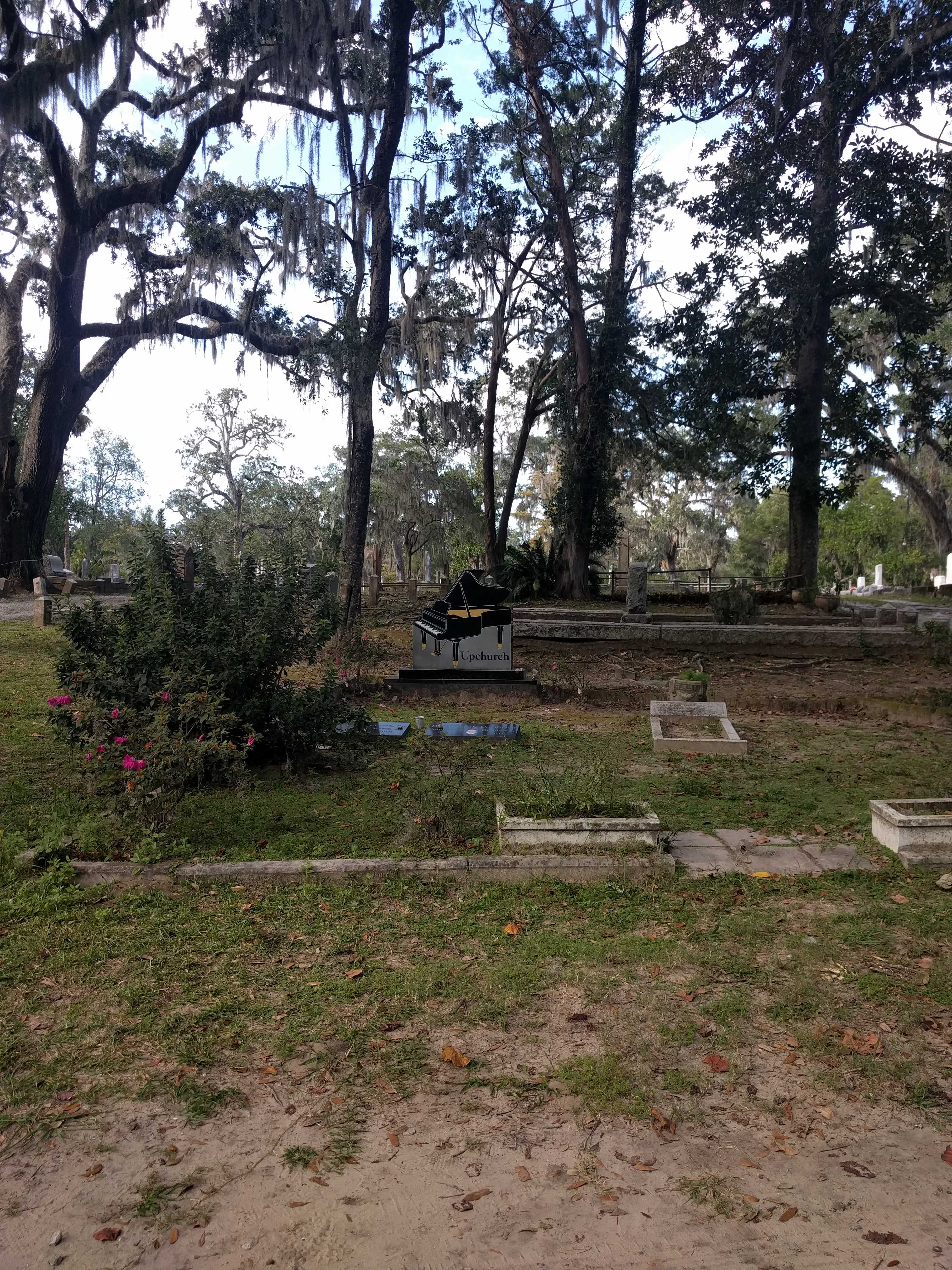 the Bonaventure Graveyard. It was huge. Never seen anything like it. It was closing soon and I kind of got lost for a little bit. I was getting a bit concerned we might get locked in. I bet it’s a pretty creepy place after dark. That Spanish moss is everywhere down here.
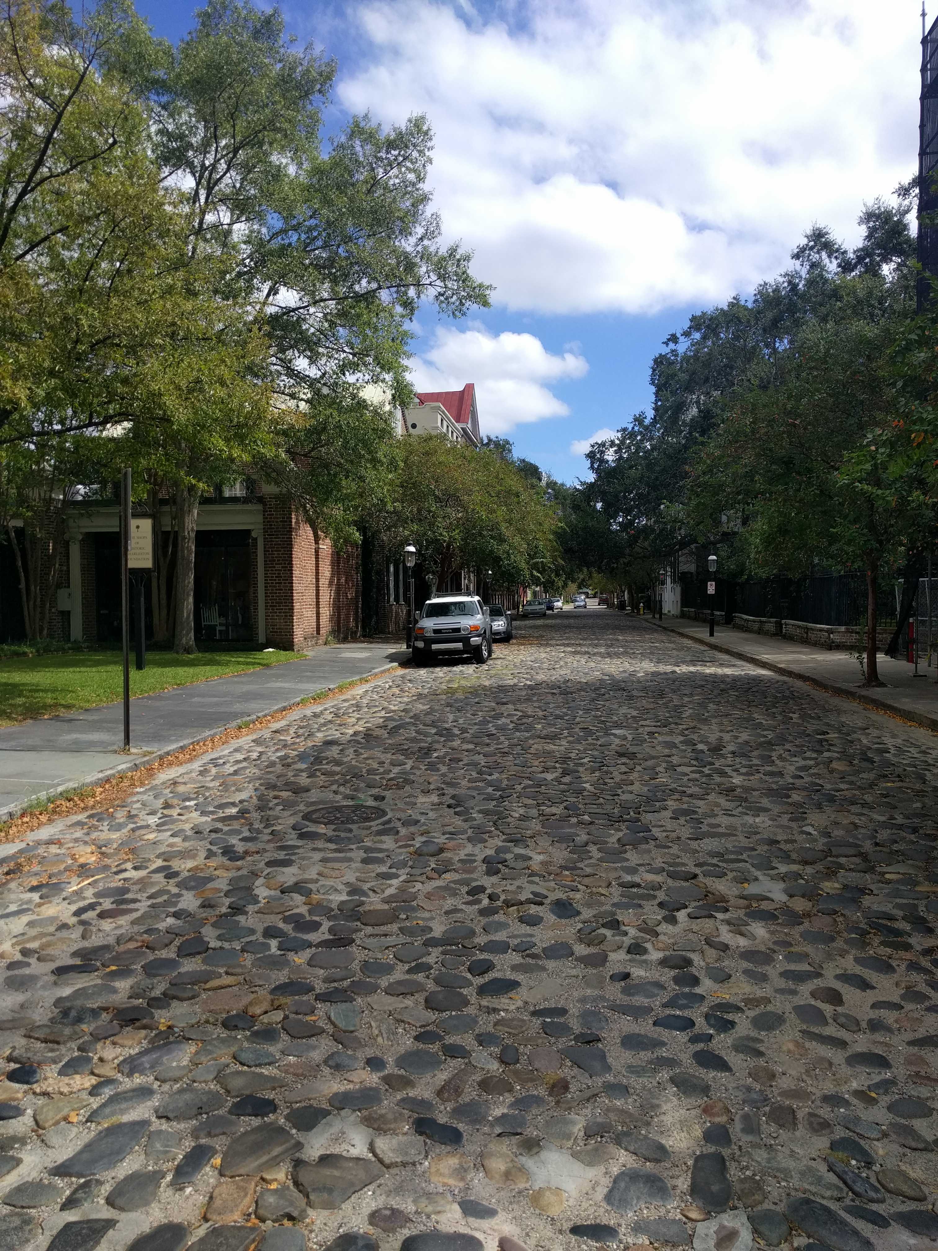
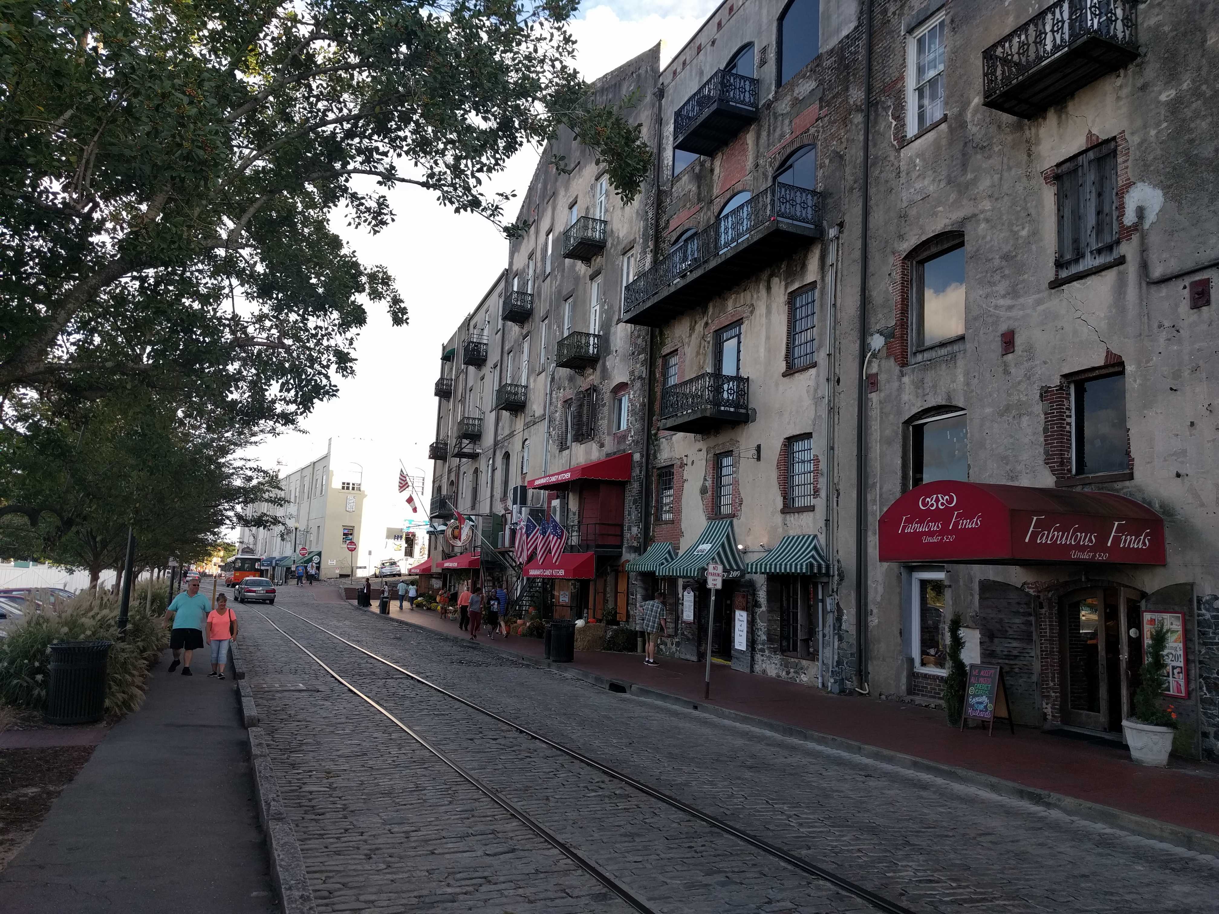 old cobblestone and the bumpiest roadway I believe I have ever been on, even at a couple miles an hour. The
 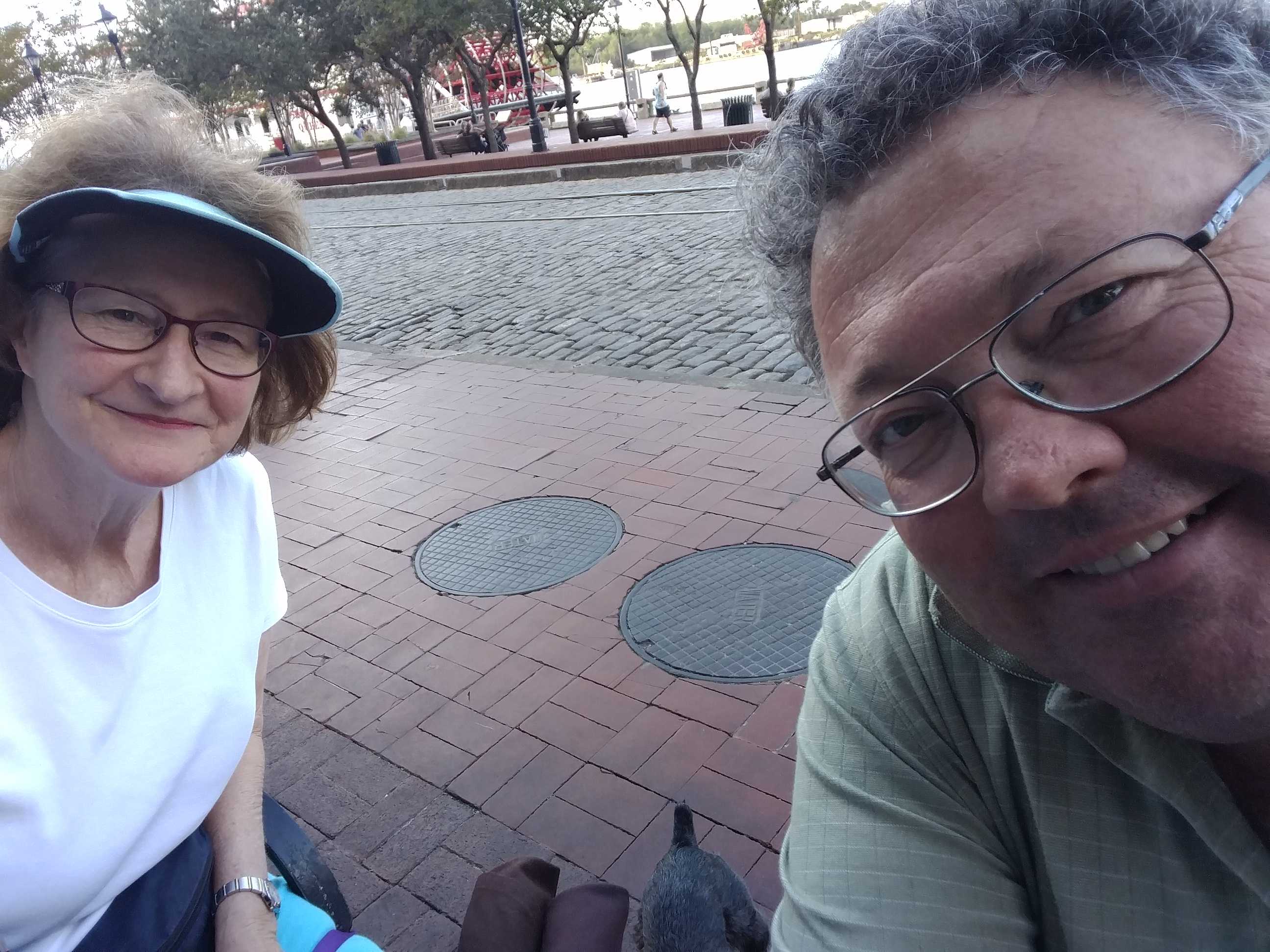 place has a few tables street-side and just across from it is a narrow park fronting the river, maybe 40 feet from our table. Lots of small ships, and a few very large cargo ships were plying the waters. There was even a small ferry that seemed to be going across the river every fifteen minutes to a hotel on the other side.
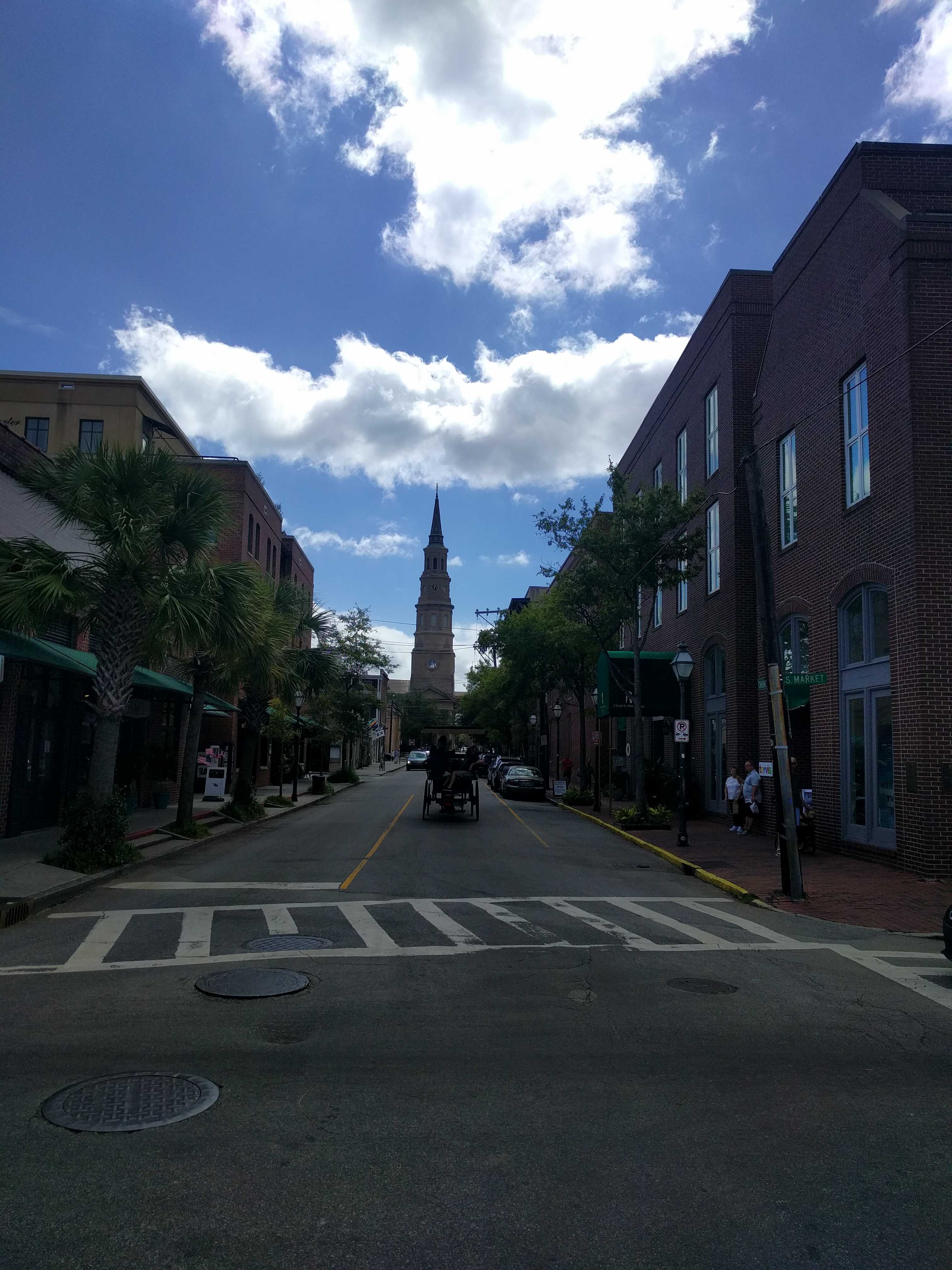
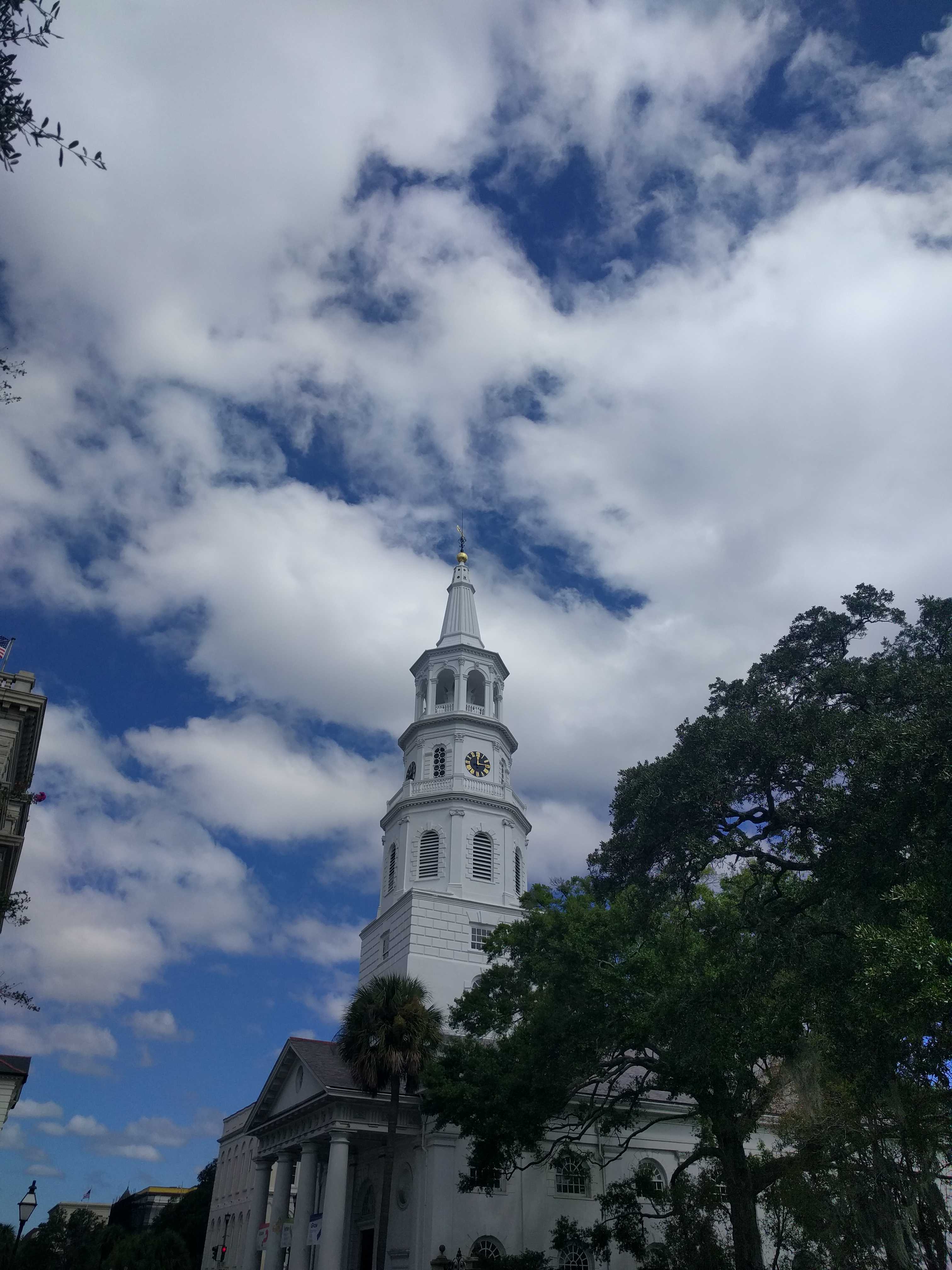
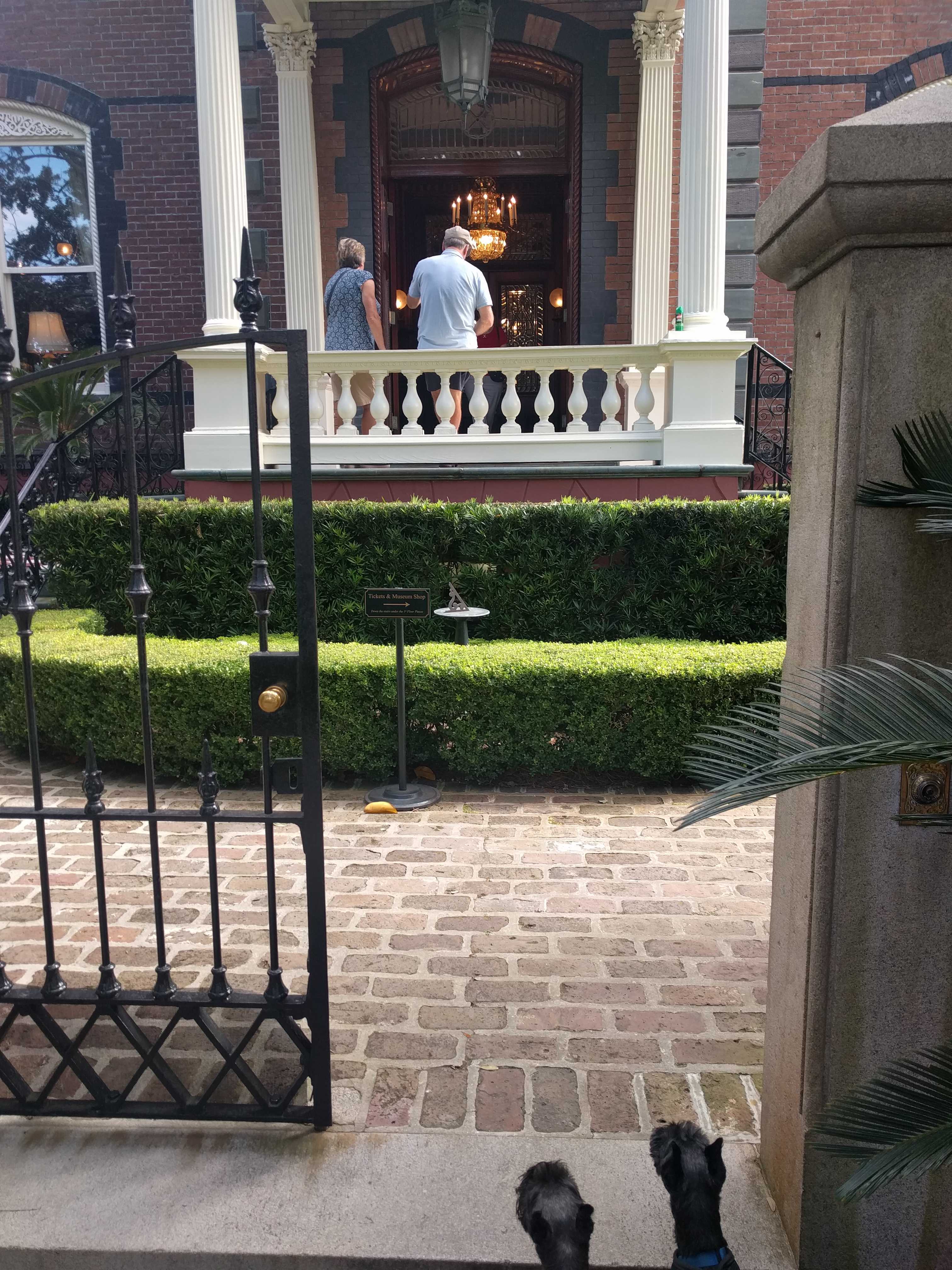
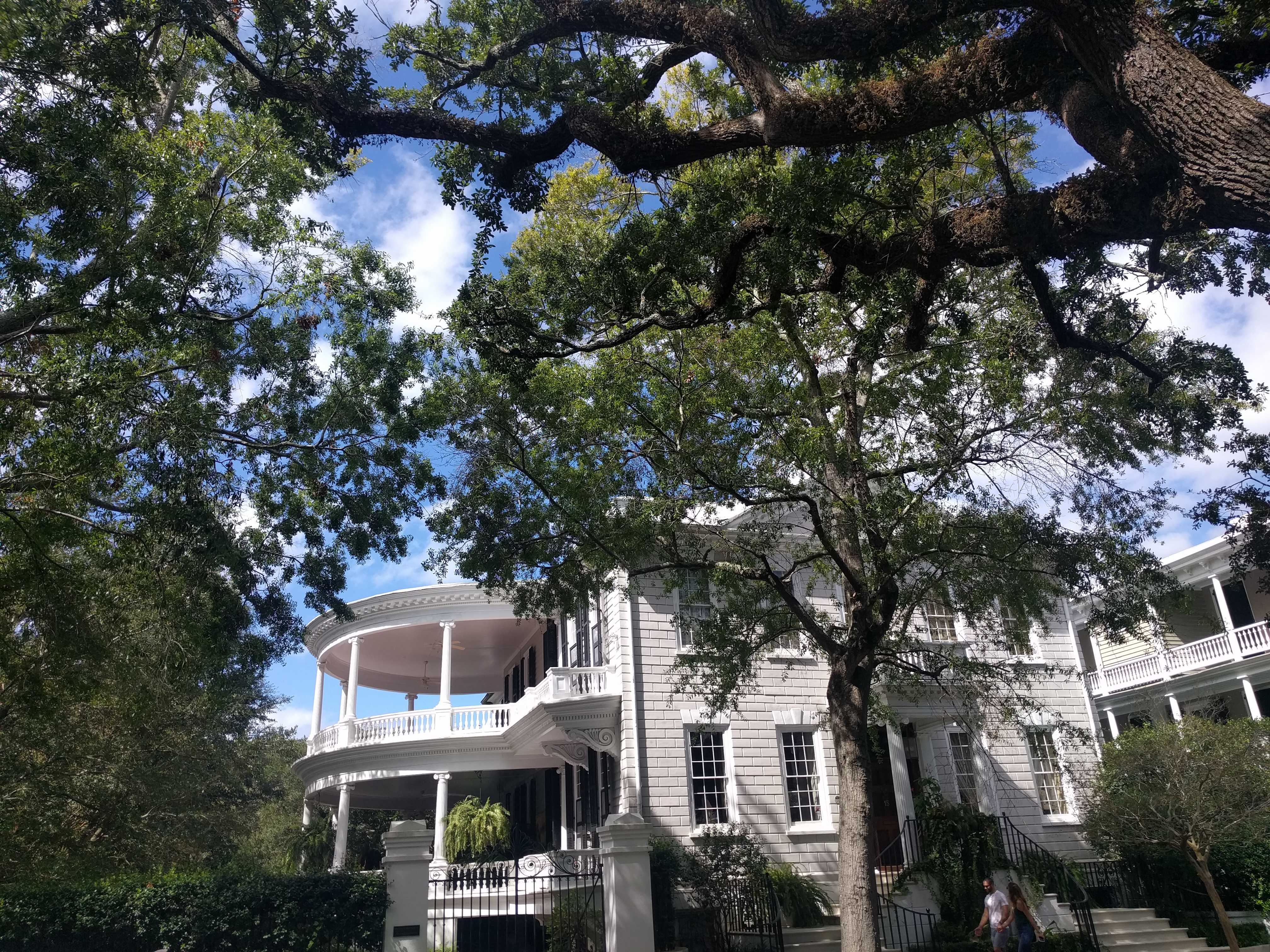
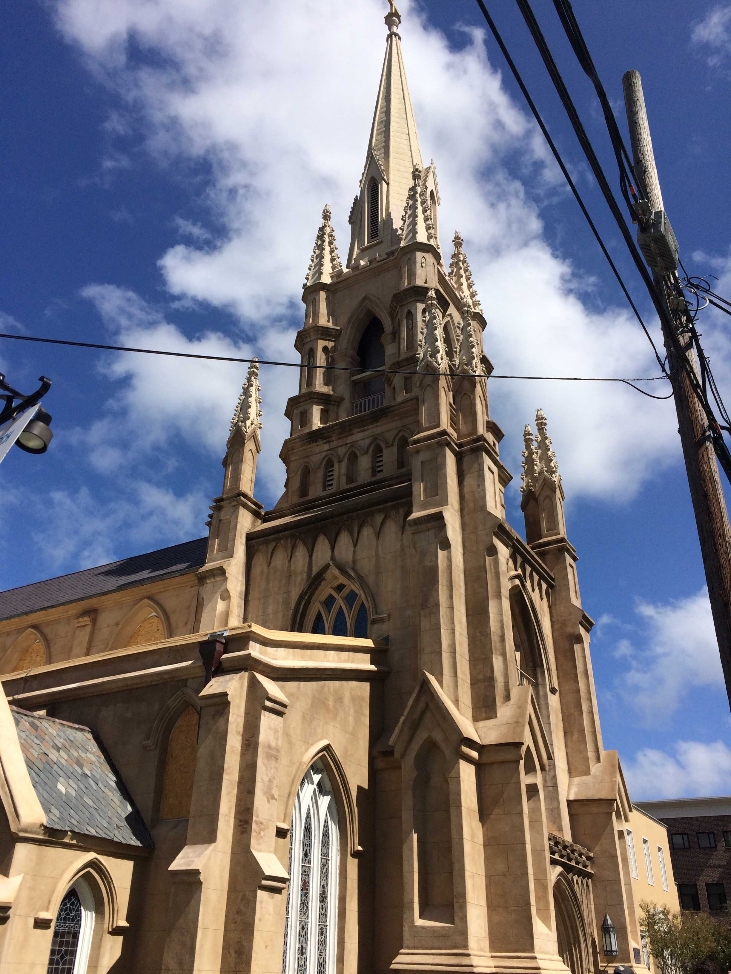
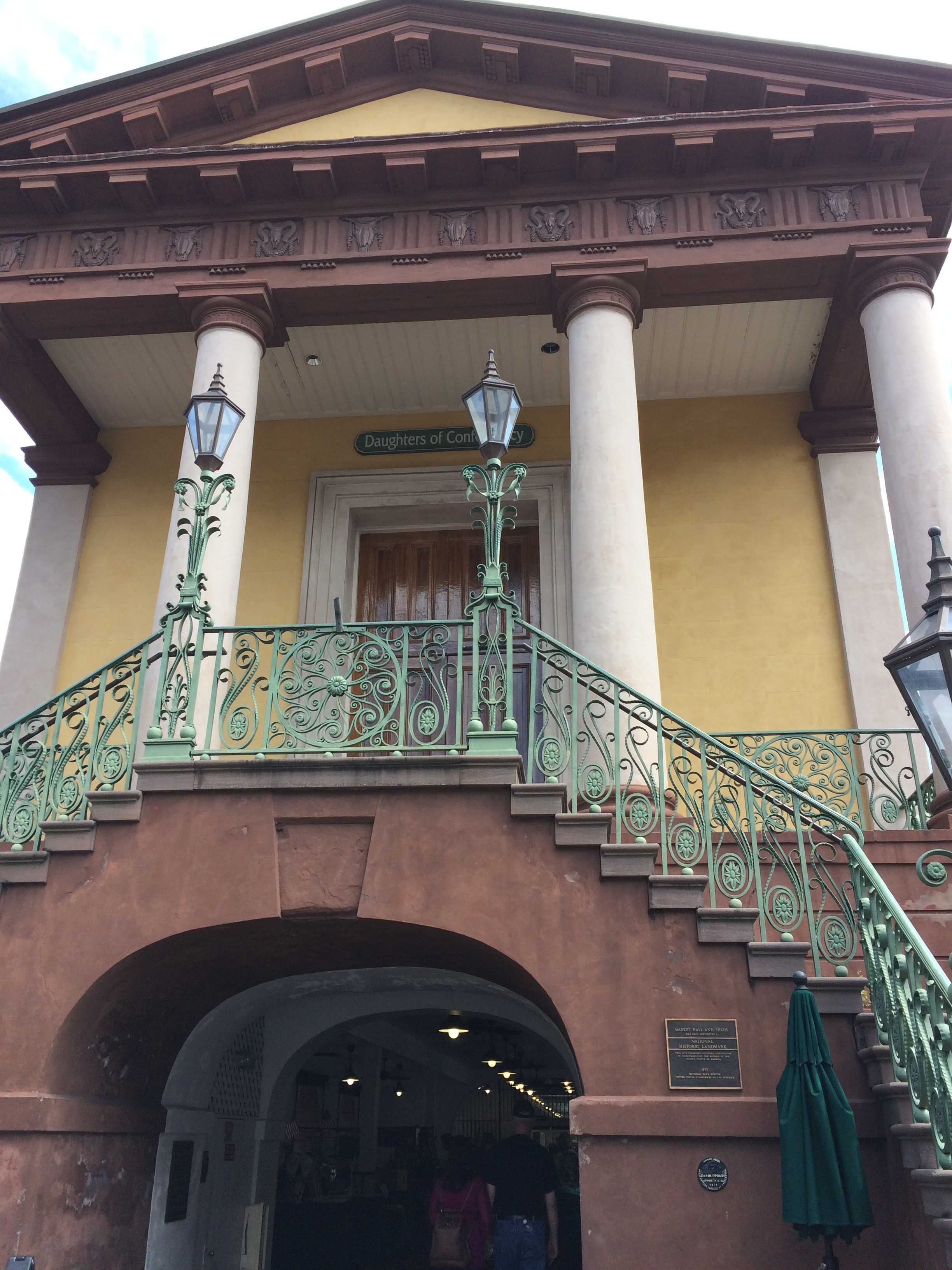
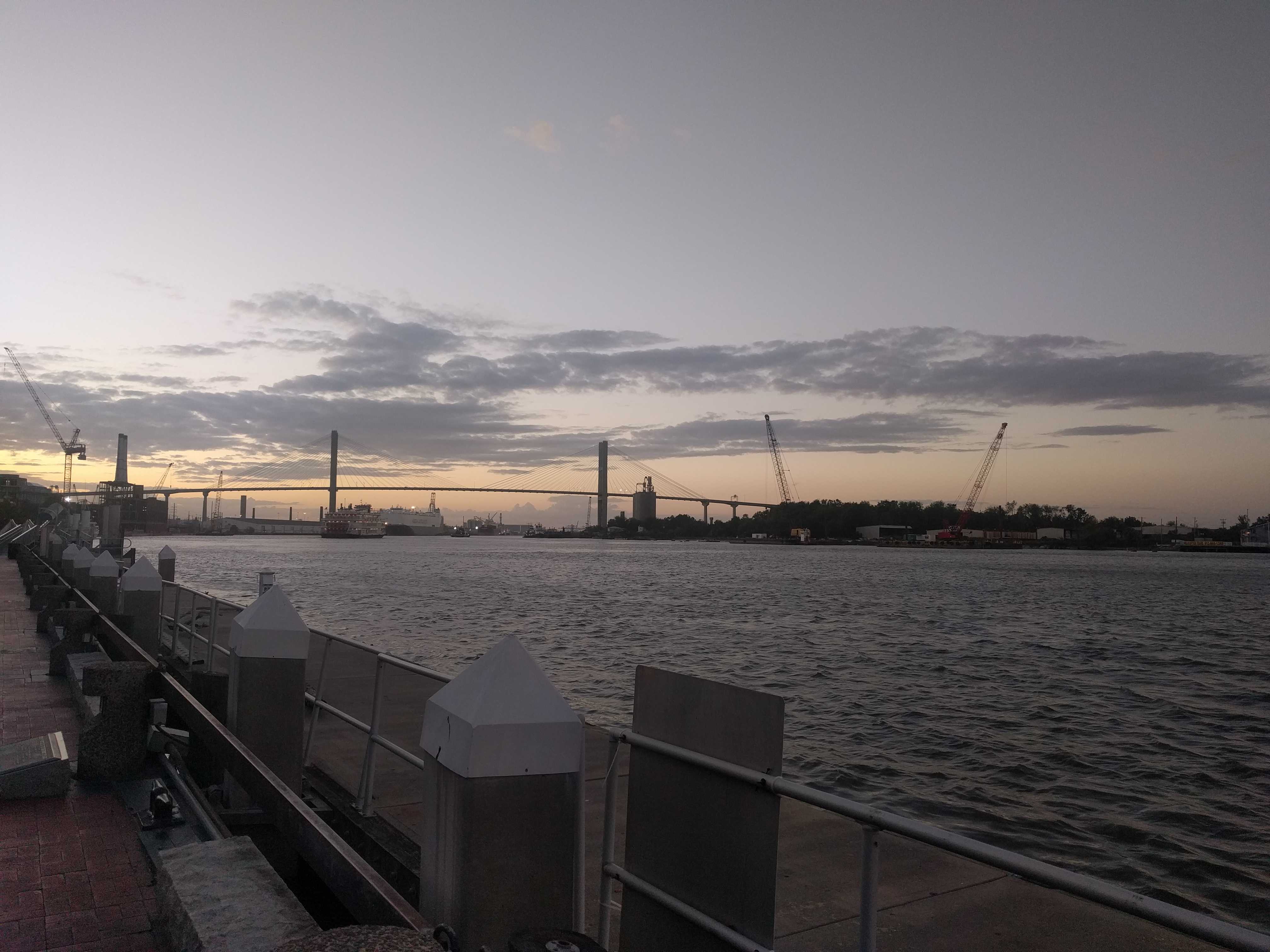 The next day I headed back into town to see the market place I had heard about. It was underwhelming. I then took a walk thru a few closely spaced squares. There were lots of them evenly spaced in all directions. I think Savanna was a planned city. Maybe Sherman burned it all down so they got to start over.
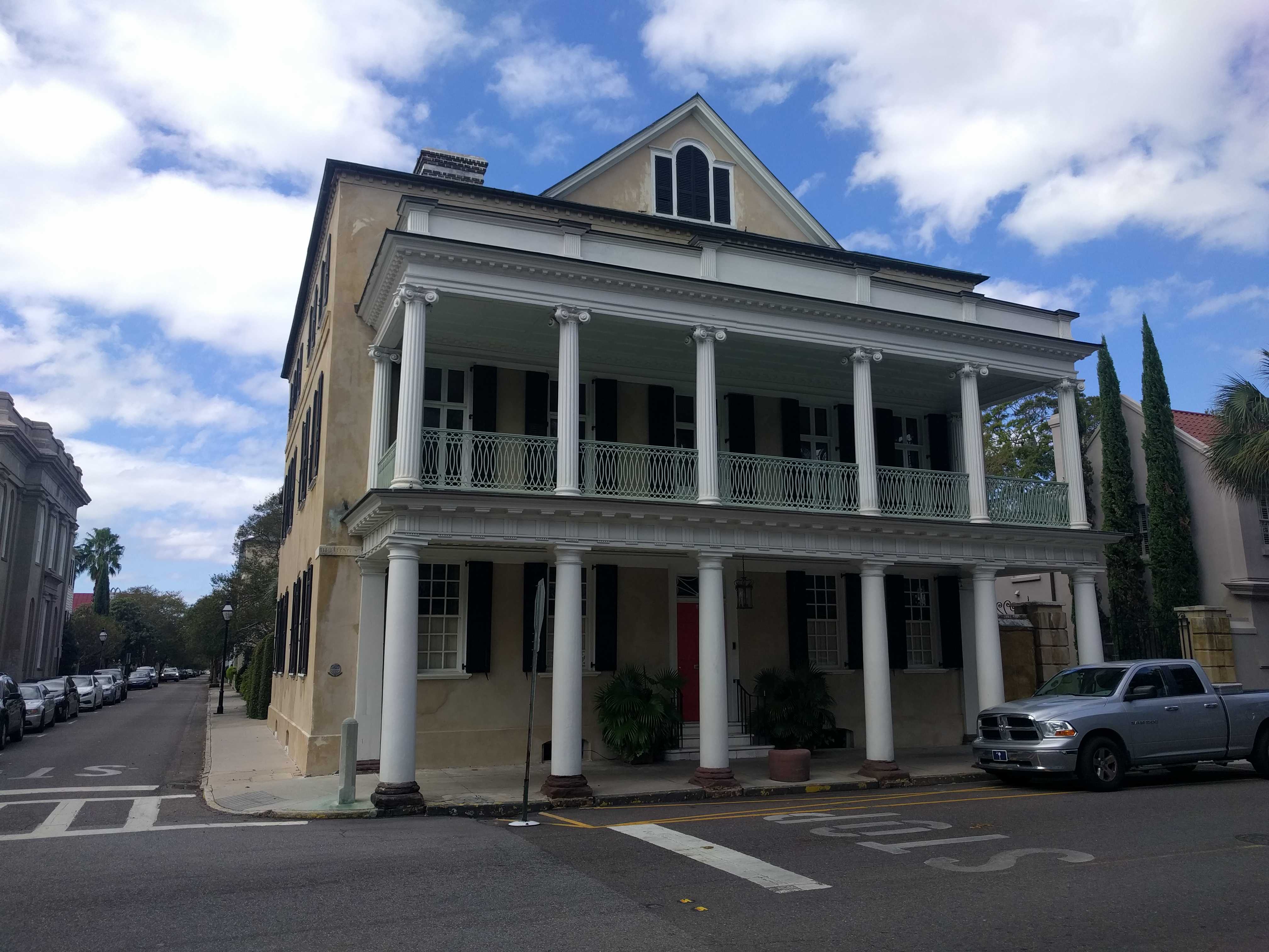
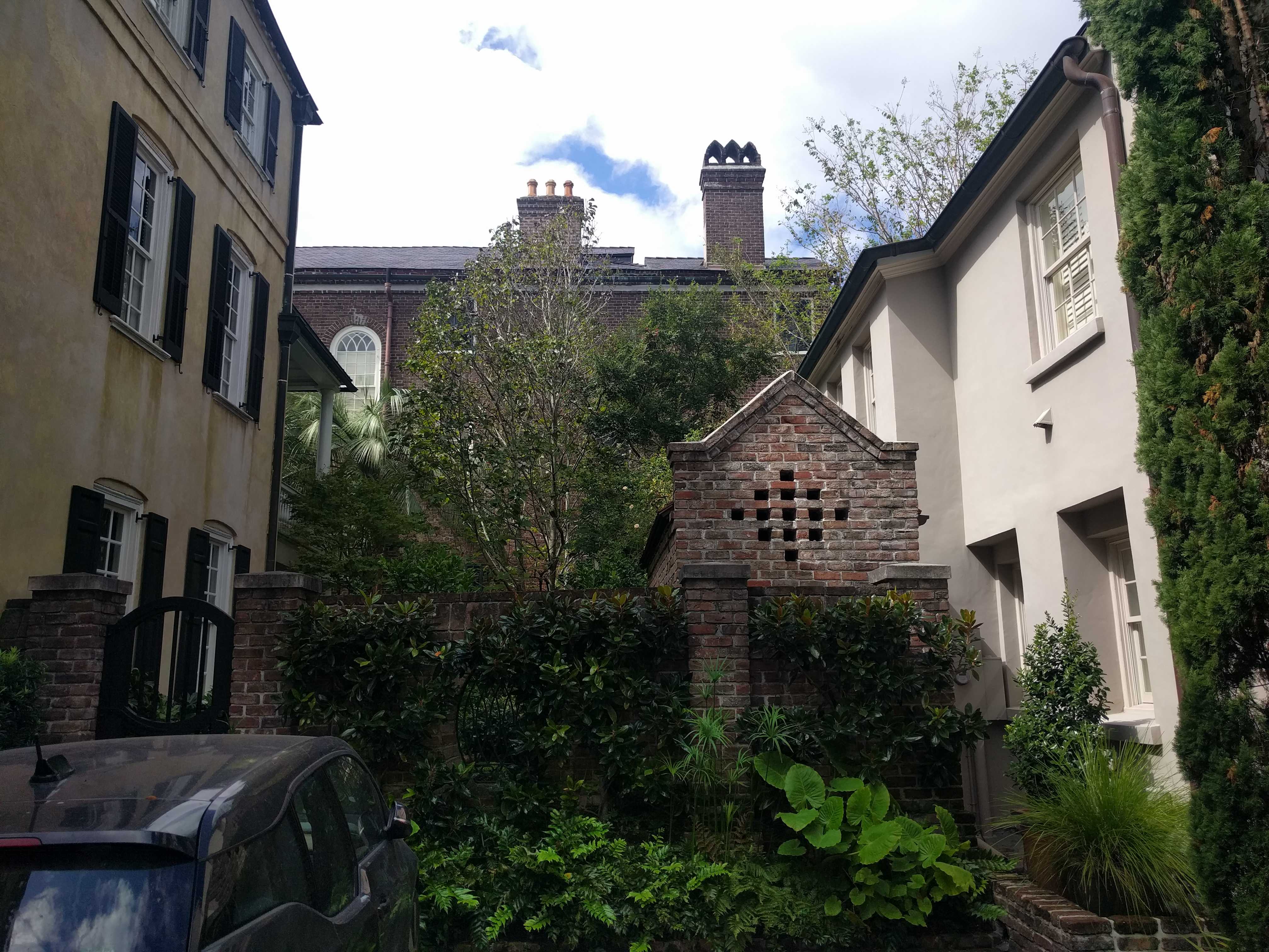
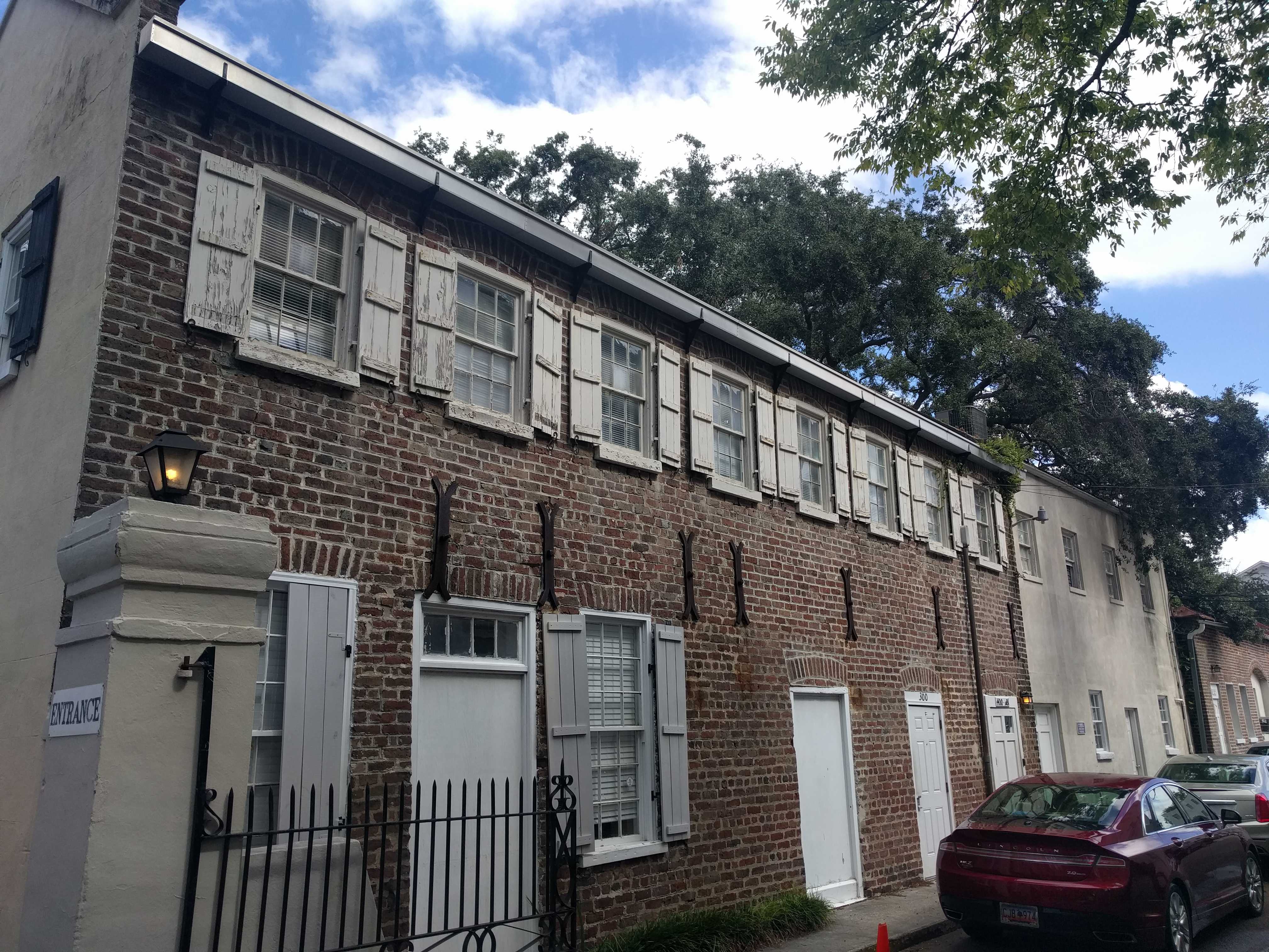
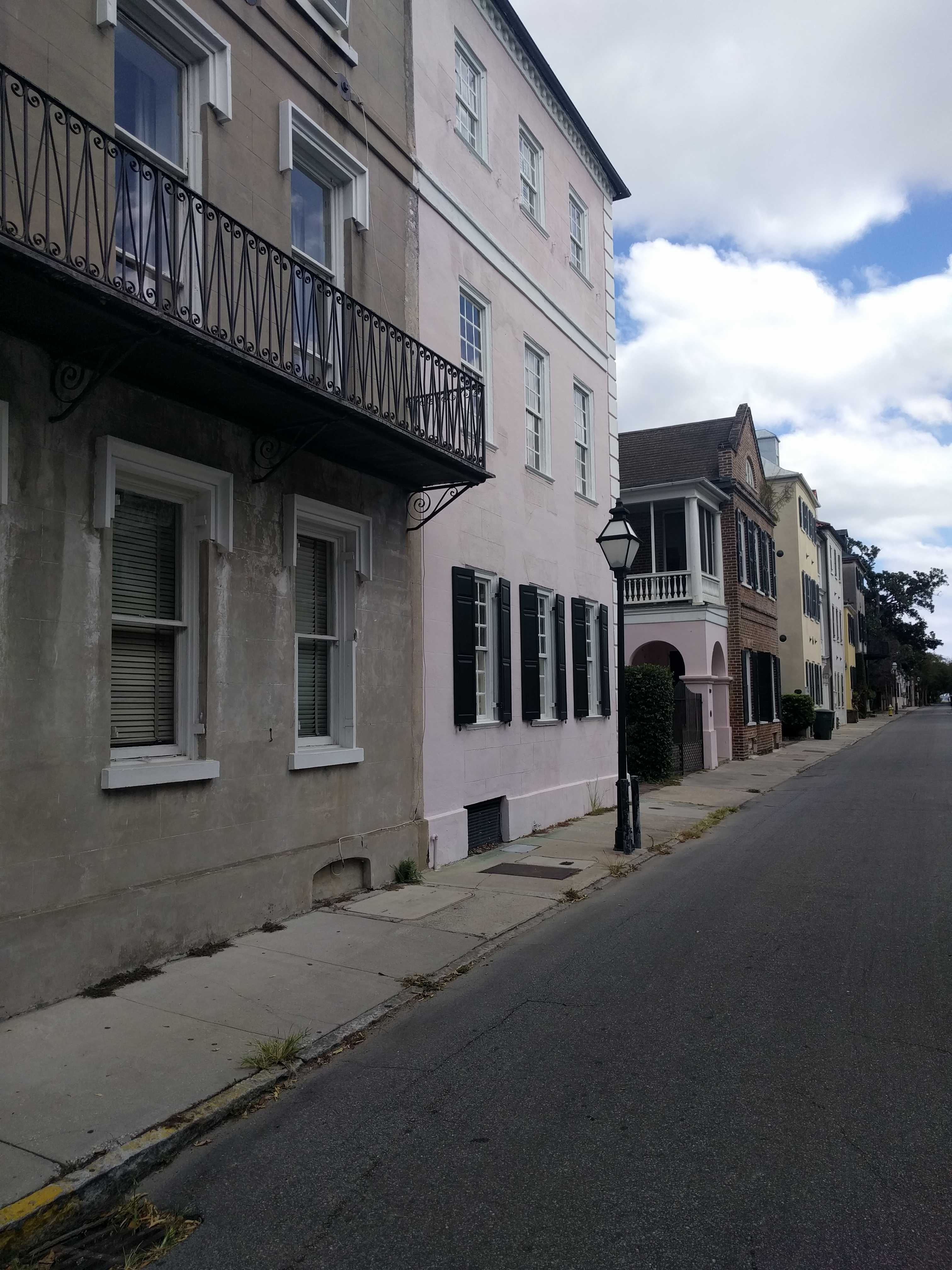
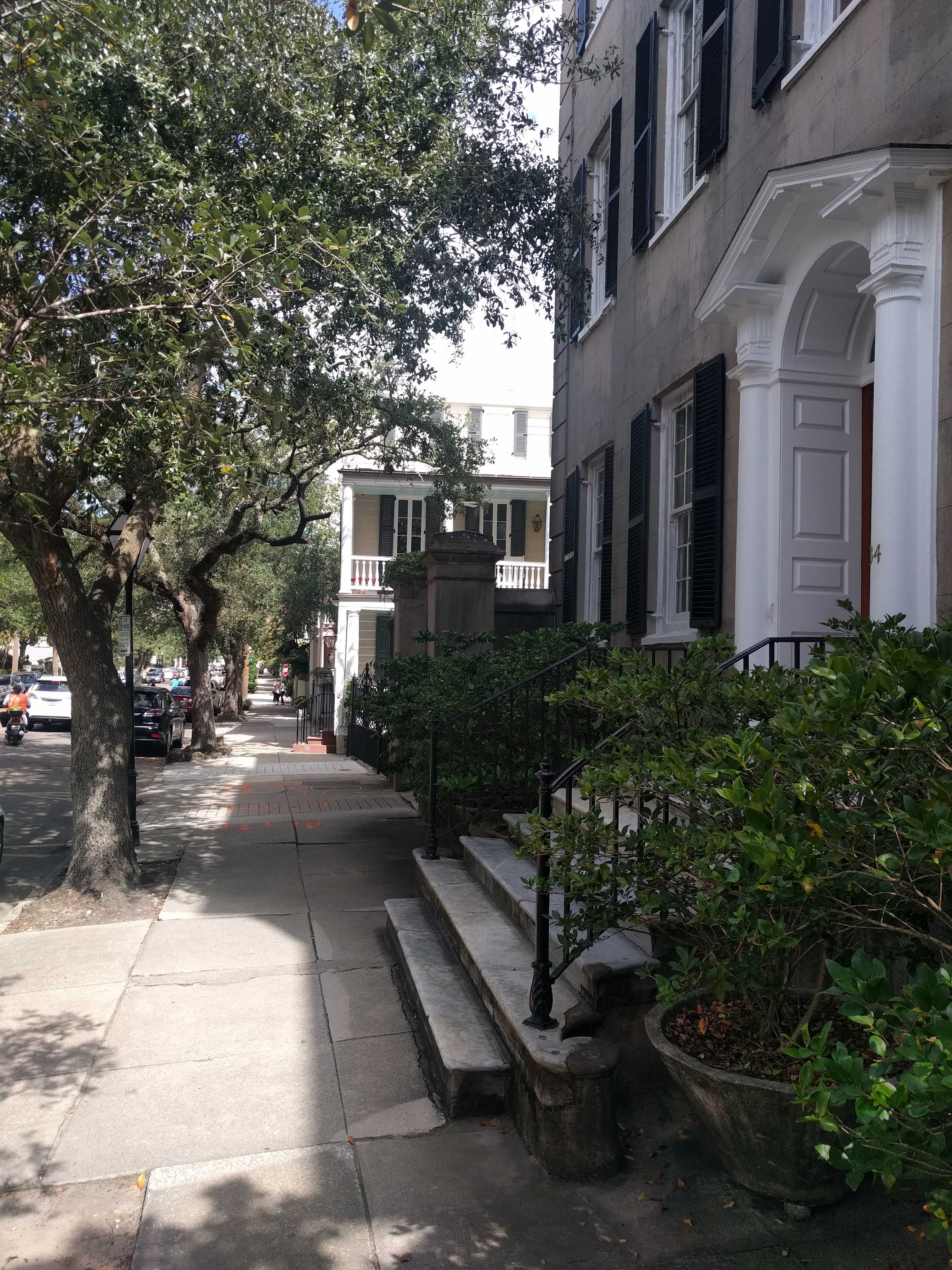
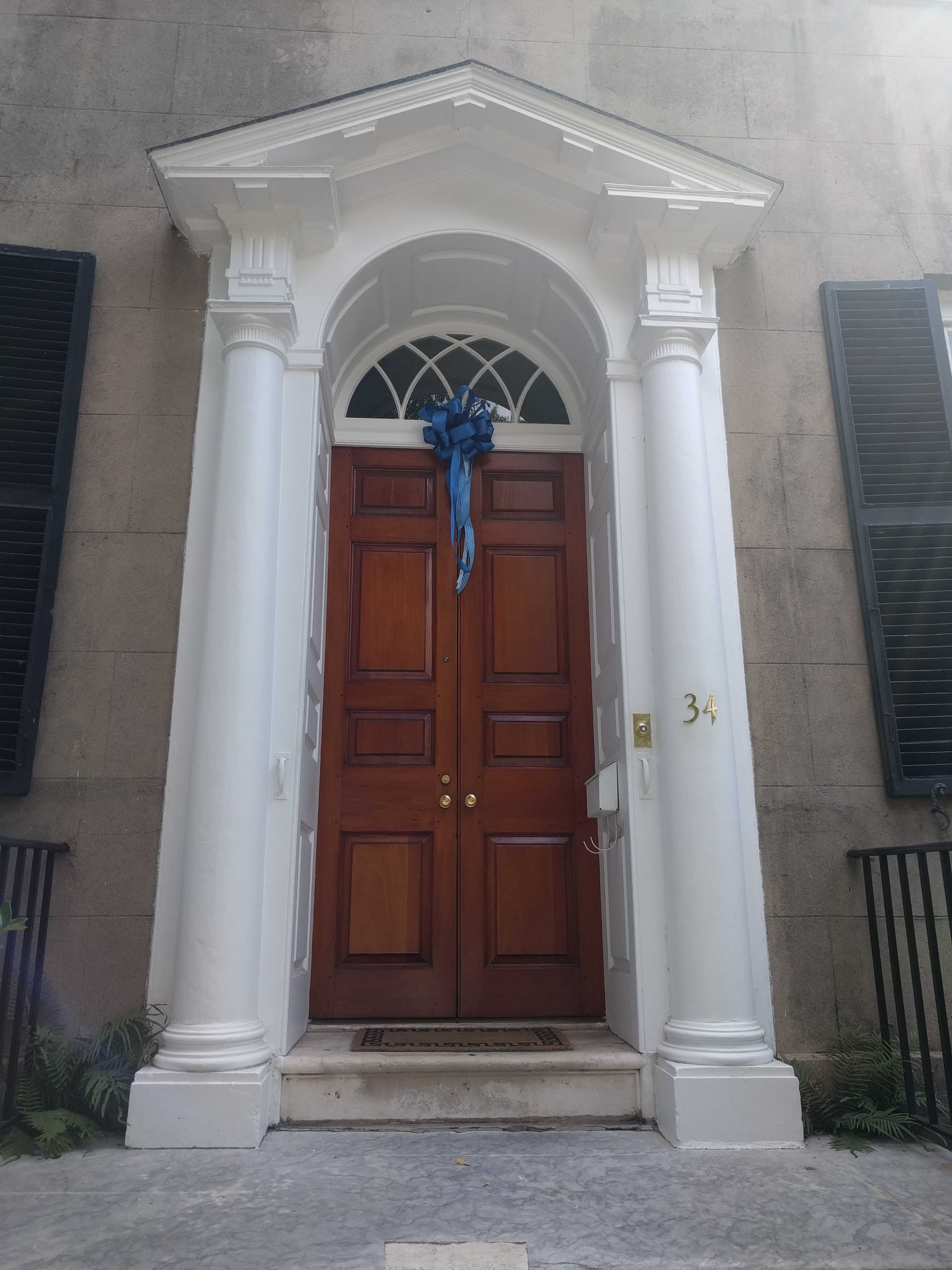
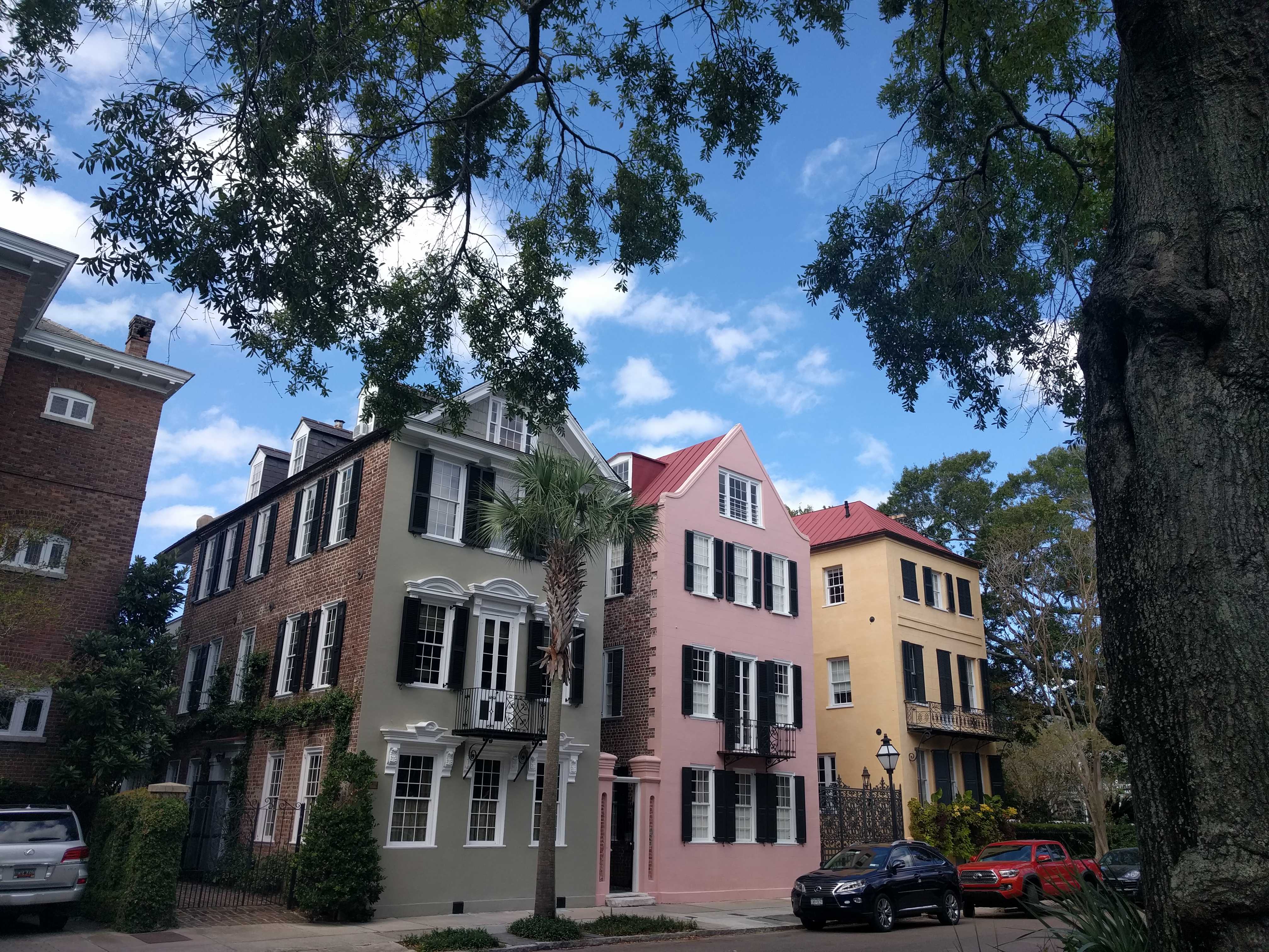