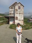
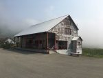
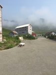
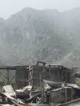
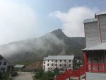
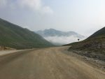
 The day after arriving in Wasilla we drove up to Hatcher Pass and then the Independence Mine not far from the pass.
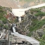
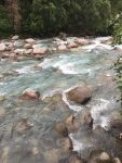
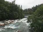 As we headed up the mountain, we came upon a river with an overlook. That’s where we read that we were
 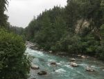 looking at an active fault and the other side of the river, the wall of rock was the actual fault line.
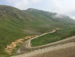
 We then started the climb into the clouds, and as it turned out, we came out of the clouds just before the turnoff to the pass. It was bright and sunny up there. The road to the top was dirt and gravel, fairly narrow, windy and pretty steep for a road.
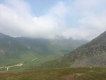
 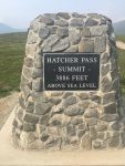 We got to the top of the pass a few minutes after getting on the road. There was a parking area between the two peaks so we got out there. The view was nothing short of awesome. Especially the clouds all below us was very interesting. There was a small waterfall to our left and went
 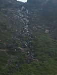 down into a ravine we couldn’t see and before long we found a small lake it empties into. I had never heard of this place, but found it on google maps that first morning when I was looking for somewhere to go that day. There weren’t many people up there, just a few other gawkers.
 After wandering around up there for about an hour, we headed back down off the pass to find the Independence Mine State Park. It was a short hop up
  the hill some more. After paying the entrance fee I asked for a map. Guy in the booth said I could get one at the visitor center. When we got up there, we figured out there wasn’t a visitor center. Geez.
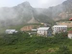
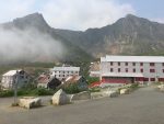
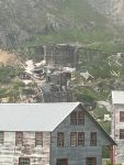
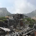
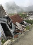
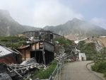
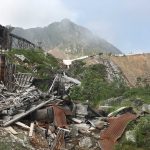
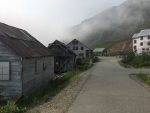
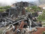
Anyway, it had been a hard rock gold mine, the type that looks for veins of gold and then jackhammers them out and puts them thru a hammer mill so the pulverized rock can go thru a sluice to let the gold settle to the bottom. This whole “town” was full of collapsed buildings. You could see where the ground had been moving under them, probably why they collapsed.
Something I read while there, during WWII they were going to be closed down as gold was not a needed war material; but they had something called scheelite and were allowed to stay open to mine that. It’s used to maketungsten and that was needed for the war effort.
We wandered around the site for an hour or so while it got a little colder as the clouds we had left on the way up were rising up to our elevation.
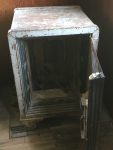
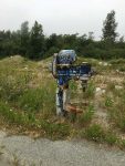 We headed back down the winding road and stopped by some apparatus I noticed on the way up to take a picture. They were right on the side of the road. Kinda looked like something from an industrial mixer. I cannot understand why they would be there, especially since they looked permanently mounted.
We made it down the hill and stopped by a Carr’s grocery store. Really nice place and it’s somehow affiliated with Safeway.
