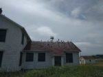
![]() Nice small town where the Strait of Juan de Fuca and the Puget Sound
Nice small town where the Strait of Juan de Fuca and the Puget Sound 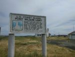 meet. We drove the 12 or so miles from our campsite to the tip of the peninsula driving thru Fort Worden so we could check out the Pt. Wilson Lighthouse. It wasn’t open to the public, but we were able to walk right up to it and around the property to snap some pics.
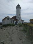 It looked like it was in a lot better shape in the pictures that Google brings up when searching, so
 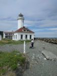 they must be fairly old now. It’s located on a pretty spot on the point that separates the Strait of Juan de Fuca from the Puget Sound.
While we walked around, a fairly large ship rounded the corner and, in what seemed like just a minute or two, was barely  visible in the distance down the Sound. After we had taken too many pictures, we headed back toward the town.
While traversing this large hill between the fort and the town, we came upon a beautiful home overlooking the Sound with a really whimsical low brick wall snaking its way between the trees and the road. We had to turn around and go back to look at it. The home itself was a slightly modern take on a craftsman home with the great woodwork and amazing leaded windows, but that fence was like nothing I had ever seen. I thought I could live there with the great view and high up off the water. It was for sale; but when we looked it up on Zillow, they are asking 2.5 million… Not sure our house in SD would qualify as the 20% down for it, so we moved on.
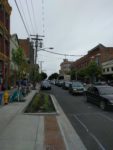 A few minutes later we were in downtown Port Townsend. We found a place to park across from a waterfront park where we decided to have our picnic lunch. No picnic benches were to be found, so we ended up sitting on a bench that was on a pier over the water. Not bad but a table would have been a bit nicer. We watched all the boats go by and also
  the large vehicle ferry coming back from Whidbey Island then a little bit later head back.
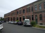
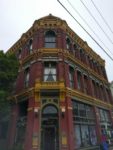
After lunch 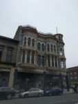 we headed down the main street to look at all the Victorian era architecture with Kathy looking inside all the buildings for their wares. The buildings where great, and some of the old advertising was just visible enough on the side walls to tell what was being sold
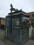
 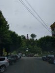 back in the day. I also found the fireman’s bell tower while walking down one of the side streets.
We stumbled across a Victoria Era Steampunk shop. That was a trip to see all the cool stuff. They even had a lot of wooden ships’ mastheads that I couldn’t tell if they were old or just recreations. They were great though.
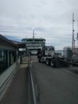 We sauntered over to the ferry landing to pick up a schedule and check out the workings for our next journey to Seattle via a different ferry on Bainbridge Island. But that’s for another post.
We left the ferry landing and walked up the other side of the street in the direction of the car. Lots of pubs and shops along the way. We did find another waterfront park with picnic tables, but the park at the north end of the town was much nicer and much more wide open, not just a vacant lot between two buildings like this one.
As we got closer to the car, we found an ice cream shop, and while Kathy was inside getting our order, I 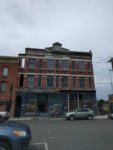 snapped this picture of a building I wouldn’t want to be in when the big quake hits here in the not to distant future. It’s still hard for me to imagine they only found the Cascadia Fault in the late 90’s and are just barely telling folks about the overdue 9.0 quake on the Oregon and Washington coastal areas. They have put up a lot of Tsunami Evacuation Route signs here in Washington. On the coast of Oregon, there were lots of entering and leaving Tsunami zones, but the Evac route signs were few and far between. The powers that be probably think it would hurt tourism and/or population centers for folks to start seriously thinking about that.
The sun went behind the clouds as we were heading north, and I wished I had brought my windbreaker with me. Sort of got a bit chilly on this July afternoon. We found the car and drove back to the campground to plan a trip for tomorrow.
